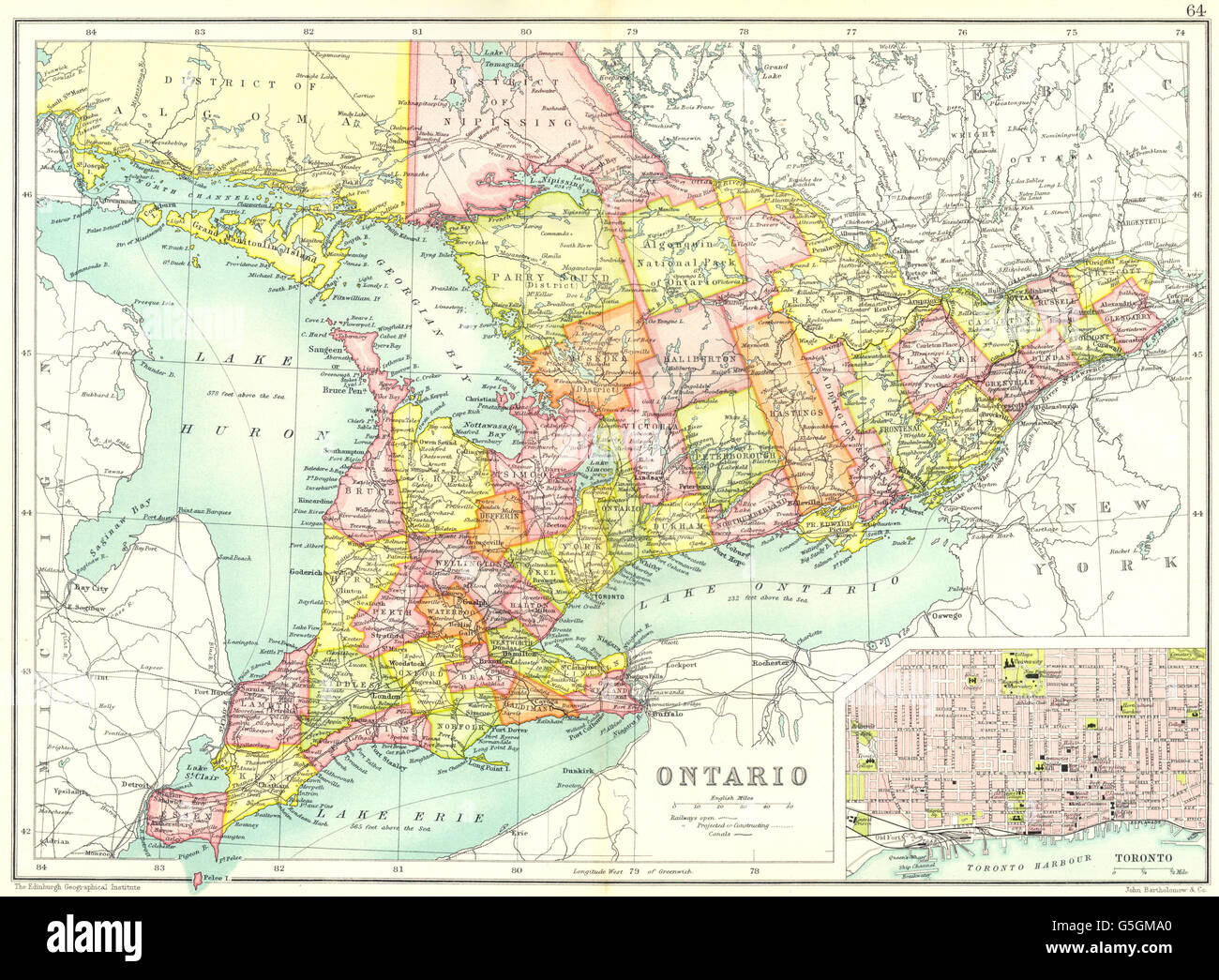
ONTARIO: Showing counties. Inset map of Toronto. Canada. Cassells, 1909
RFID:Image ID:G5GMA0
Image details
Contributor:
Antiqua Print Gallery / Alamy Stock PhotoImage ID:
G5GMA0File size:
31.8 MB (2.5 MB Compressed download)Releases:
Model - no | Property - noDo I need a release?Dimensions:
3888 x 2859 px | 32.9 x 24.2 cm | 13 x 9.5 inches | 300dpiDate taken:
1909Location:
CanadaMore information:
This image could have imperfections as it’s either historical or reportage.
'Ontario; Inset map of Toronto '. Artist/engraver/cartographer: Engraved by John Bartholomew & Co; Drawn by The Edinburgh Geographical Institute . Provenance: "Cassell's Atlas" by J. G. Bartholomew, Published by Cassell and Company, Limited, London . Type: Antique coloured map .