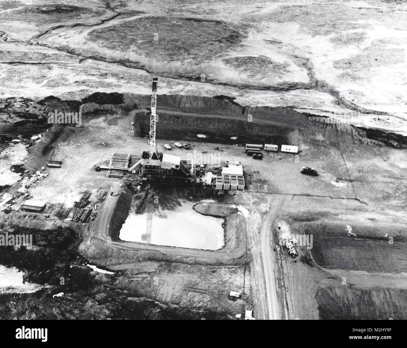
Operation Grommet, Amchitka Test Site, CANNIKIN, 1971

Image details
Contributor:
Science History Images / Alamy Stock PhotoImage ID:
M2HY9FFile size:
39.7 MB (1.4 MB Compressed download)Releases:
Model - no | Property - noDo I need a release?Dimensions:
4200 x 3300 px | 35.6 x 27.9 cm | 14 x 11 inches | 300dpiDate taken:
18 July 2012Photographer:
Photo ResearchersMore information:
This image could have imperfections as it’s either historical or reportage.
Amchitka is a volcanic, tectonically unstable island in the Rat Islands group of the Aleutian Islands in southwest Alaska. Amchitka was selected by the United States Atomic Energy Commission to be the site for underground detonations of nuclear weapons. Three such tests were carried out: Long Shot, an 80-kiloton (330 TJ) blast in 1965; Milrow, a 1-megaton (4.2 PJ) blast in 1969; and Cannikin in 1971 ‰ÛÒ at 5 Mt. Cannikin was detonated on November 6, 1971, as the thirteenth test of the Operation Grommet (1971-72) underground nuclear test series. The ground lifted 20 feet, caused by an explosive force almost 400 times the power of the Hiroshima bomb. Subsidence and faulting at the site created a new lake, over a mile wide. The explosion caused a seismic shock of 7.0 on the Richter scale, causing rockfalls and turf slides of a total of 35, 000 square feet. Though earthquakes and tsunamis predicted by environmentalists did not occur, a number of small tectonic events did occur in the following weeks, (some registering as high as 4.0 on the richter scale) thought to be due to the interaction of the explosion with local tectonic stresses. Amchitka is no longer used for nuclear testing. It is still monitored for the leakage of radioactive materials.