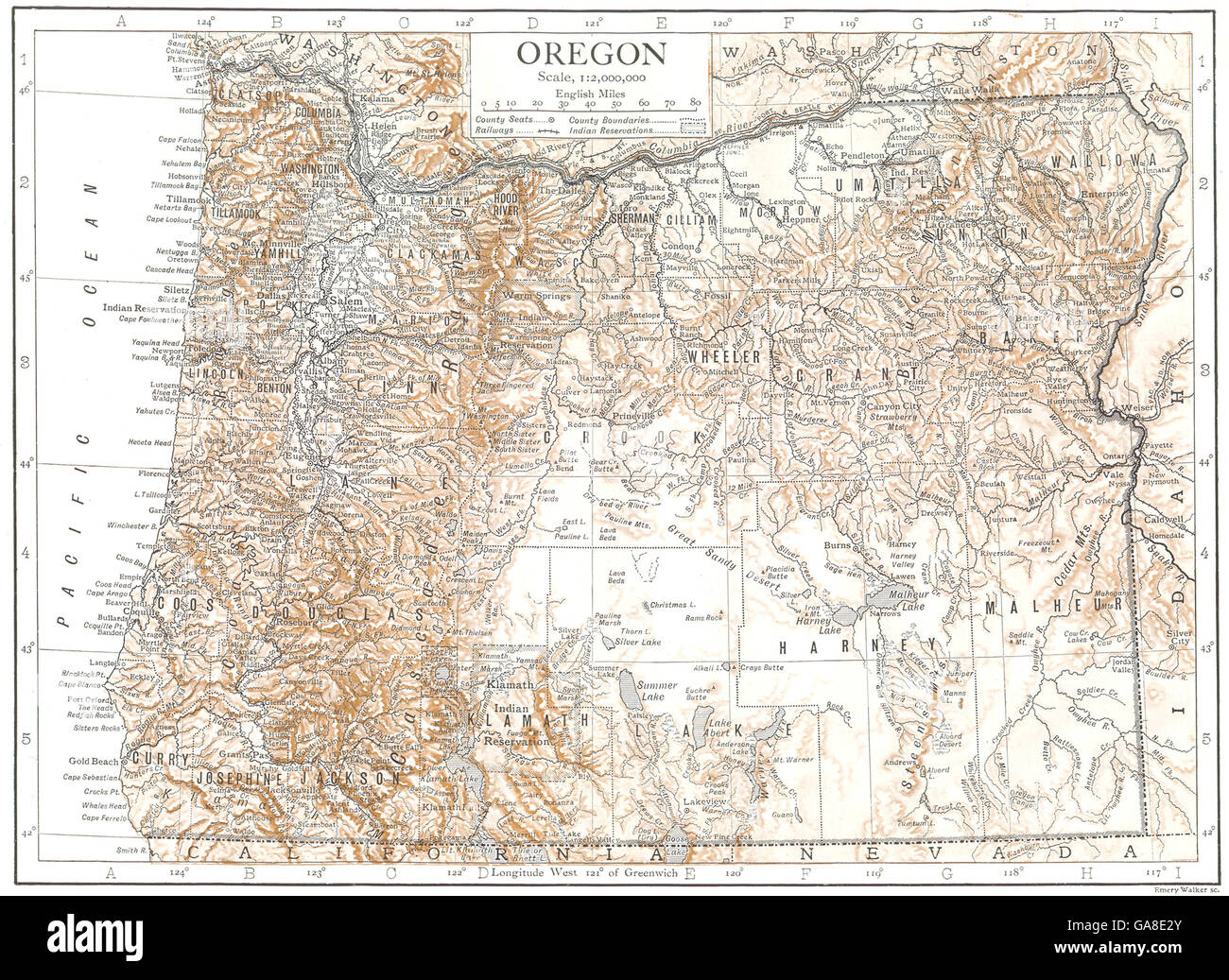
OREGON: Oregon state map showing counties, 1910
RFID:Image ID:GA8E2Y
Image details
Contributor:
Antiqua Print Gallery / Alamy Stock PhotoImage ID:
GA8E2YFile size:
18.7 MB (1.9 MB Compressed download)Releases:
Model - no | Property - noDo I need a release?Dimensions:
2996 x 2184 px | 25.4 x 18.5 cm | 10 x 7.3 inches | 300dpiDate taken:
1910Location:
OregonMore information:
This image could have imperfections as it’s either historical or reportage.
'Oregon'. Artist/engraver/cartographer: Walker, sc. Provenance: "The Encyclopaedia Britannica" Published by Cambridge at the University press, London: Eleventh Edition. Type: Antique colour map; Scale 1:2, 000, 000.