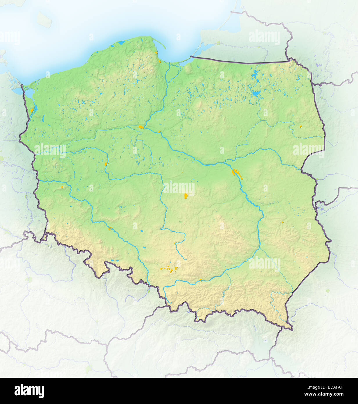
Poland, shaded relief map.
RFID:Image ID:BDAFAH
Image details
Contributor:
Michael Schmeling / Alamy Stock PhotoImage ID:
BDAFAHFile size:
97.7 MB (2.3 MB Compressed download)Releases:
Model - no | Property - noDo I need a release?Dimensions:
5693 x 6000 px | 48.2 x 50.8 cm | 19 x 20 inches | 300dpiDate taken:
24 July 2009More information:
Poland, shaded relief map. Colored according to terrain height, with major urban areas. Includes clip paths for the state boundary and land areas. Projection Mercator. Geographic extents W 13 5 E 25 S 48 N 55 5