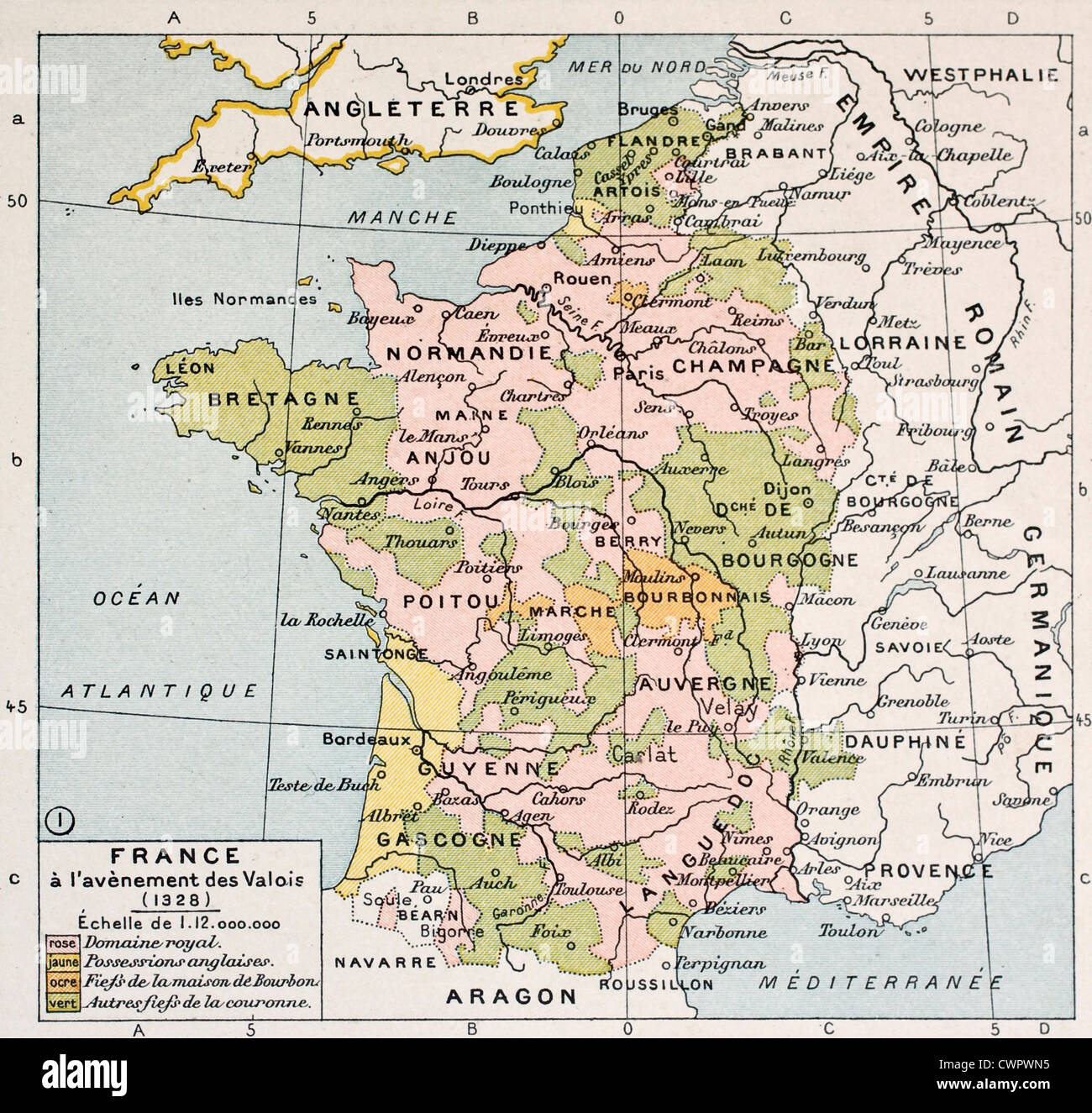
Political map of France in 1328

RFID:Image ID:CWPWN5
Image details
Contributor:
Oldtime / Alamy Stock PhotoImage ID:
CWPWN5File size:
24.2 MB (1.6 MB Compressed download)Releases:
Model - no | Property - noDo I need a release?Dimensions:
2984 x 2836 px | 25.3 x 24 cm | 9.9 x 9.5 inches | 300dpiDate taken:
9 February 2012More information:
Political map of France in 1328. By Paul Vidal de Lablache, Atlas Classique, Librerie Colin, Paris, 1894