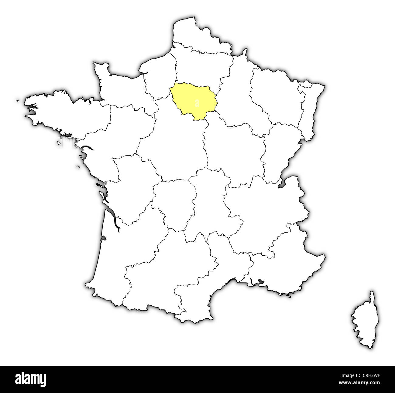
Political map of France with the several regions where Île-de-France is highlighted.
RFID:Image ID:CRH2WF
Image details
Contributor:
Schwabenblitz / Alamy Stock PhotoImage ID:
CRH2WFFile size:
99.6 MB (1.4 MB Compressed download)Releases:
Model - no | Property - noDo I need a release?Dimensions:
6127 x 5684 px | 51.9 x 48.1 cm | 20.4 x 18.9 inches | 300dpi