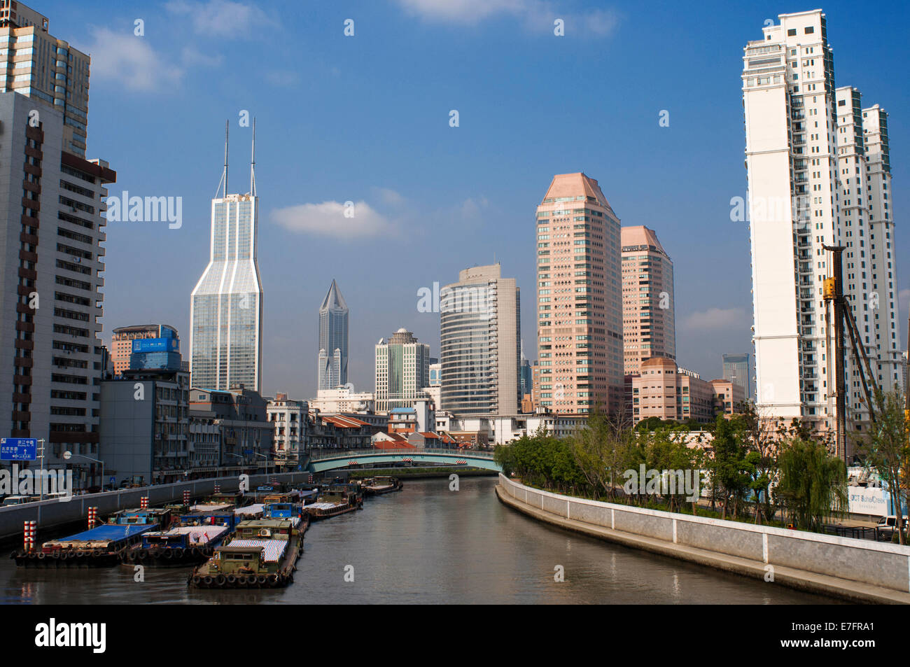
Pudong Financial District skyline, and bridge over Wusong River (Suzhou Creek), Shanghai, China. Suzhou Creek, also called Wuson

Image details
Contributor:
Sergi Reboredo / Alamy Stock PhotoImage ID:
E7FRA1File size:
49.8 MB (2.2 MB Compressed download)Releases:
Model - no | Property - noDo I need a release?Dimensions:
5120 x 3401 px | 43.3 x 28.8 cm | 17.1 x 11.3 inches | 300dpiDate taken:
17 December 2017More information:
Pudong Financial District skyline, and bridge over Wusong River (Suzhou Creek), Shanghai, China. Suzhou Creek, also called Wusong River, is a river that passes through the Shanghai city centre. It is named after the neighbouring city of Suzhou, Jiangsu, the predominant settlement in this area prior to the rise of Shanghai as a metropolis. One of the principal outlets of Lake Tai in Wujiang District of Suzhou, Suzhou Creek is 125 km (78 mi) long, of which 54 km are within the administrative region of Shanghai and 24 km within the city's highly urbanized parts. It flows into the Huangpu River at the northern end of the Bund in Huangpu District. Suzhou Creek has played an important role for being the demarcation line between political spheres of influences throughout Shanghai's history. After the Treaty of Nanjing forced China to open up in 1842 and Shanghai became an international trade port, the river formed the boundary between the British concession (Southern bank) and the American settlement (Northern bank) until both concessions were merged into the International Settlement in 1863. When the Japanese invaded Shanghai in 1937, the river formed the boundary between the International Settlement (South) and the Japanese concession (North).