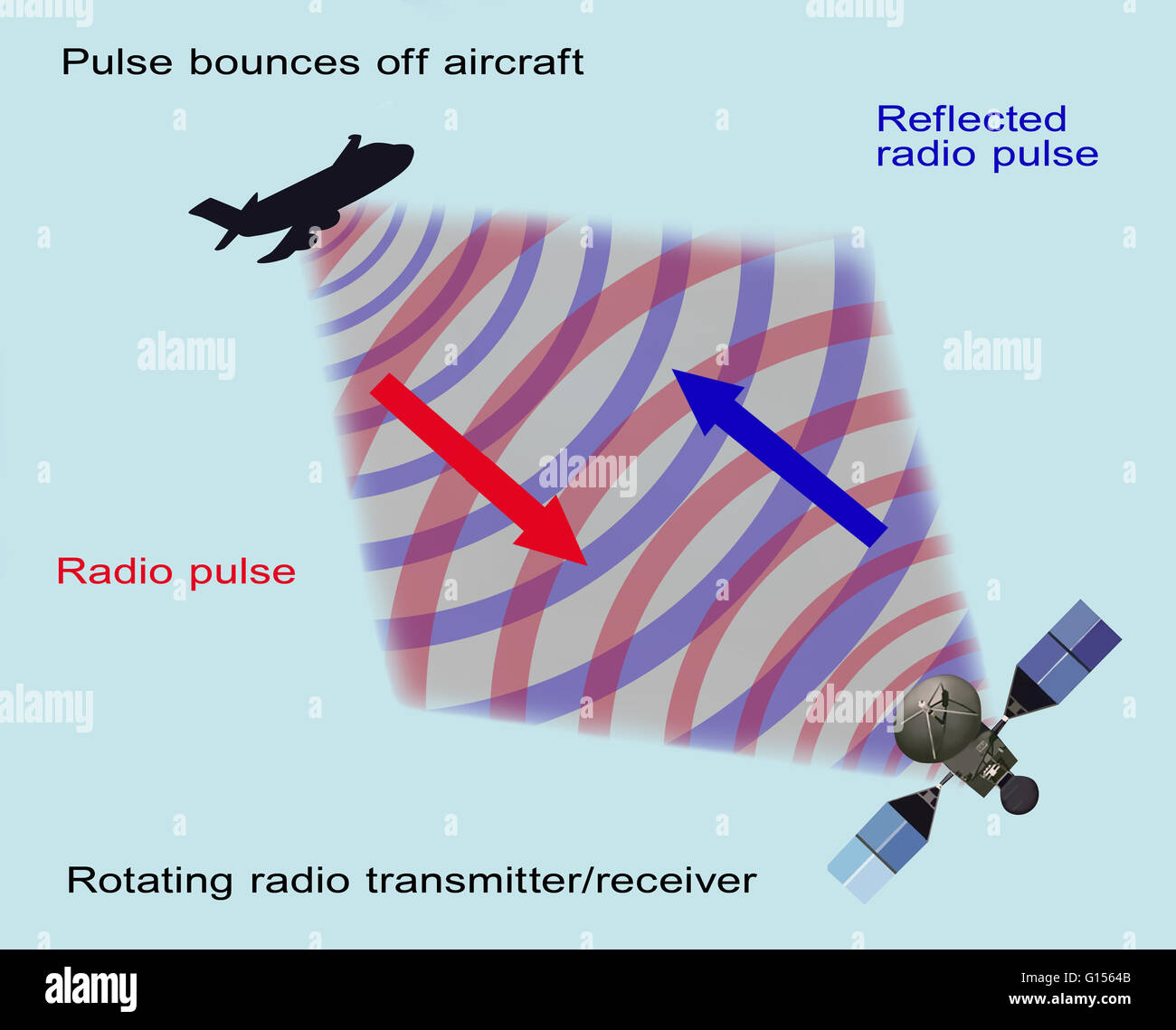
Radar incorporates radio waves to establish the range, altitude, direction, and speed of objects both in the air and on the ground. Radar is also used in meteorology to determine weather formations and can also be used to map terrain. Typically, a dish

RMID:Image ID:G1564B
Image details
Contributor:
Science History Images / Alamy Stock PhotoImage ID:
G1564BFile size:
38.6 MB (484.1 KB Compressed download)Releases:
Model - no | Property - noDo I need a release?Dimensions:
4086 x 3300 px | 34.6 x 27.9 cm | 13.6 x 11 inches | 300dpiPhotographer:
Gwen ShockeyMore information:
Radar incorporates radio waves to establish the range, altitude, direction, and speed of objects both in the air and on the ground. Radar is also used in meteorology to determine weather formations and can also be used to map terrain. Typically, a dish or antenna emits radio waves, or microwaves, which bounce back from objects in their path. Radar is an acronym for Radio Detection And Ranging.