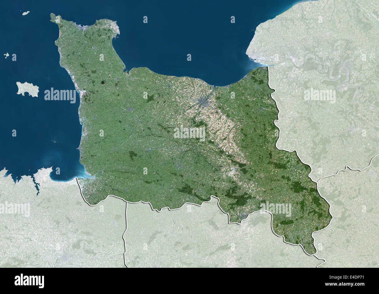
Region of Lower Normandy, France, True Colour Satellite Image
RMID:Image ID:E4DP71
Image details
Contributor:
Universal Images Group North America LLC / Alamy Stock PhotoImage ID:
E4DP71File size:
49.8 MB (3.8 MB Compressed download)Releases:
Model - no | Property - noDo I need a release?Dimensions:
4961 x 3511 px | 42 x 29.7 cm | 16.5 x 11.7 inches | 300dpiDate taken:
27 March 2012Photographer:
Planet ObserverMore information:
This image could have imperfections as it’s either historical or reportage.
Satellite view of Lower Normandy, France. This image was compiled from data acquired by LANDSAT 5 & 7 satellites.