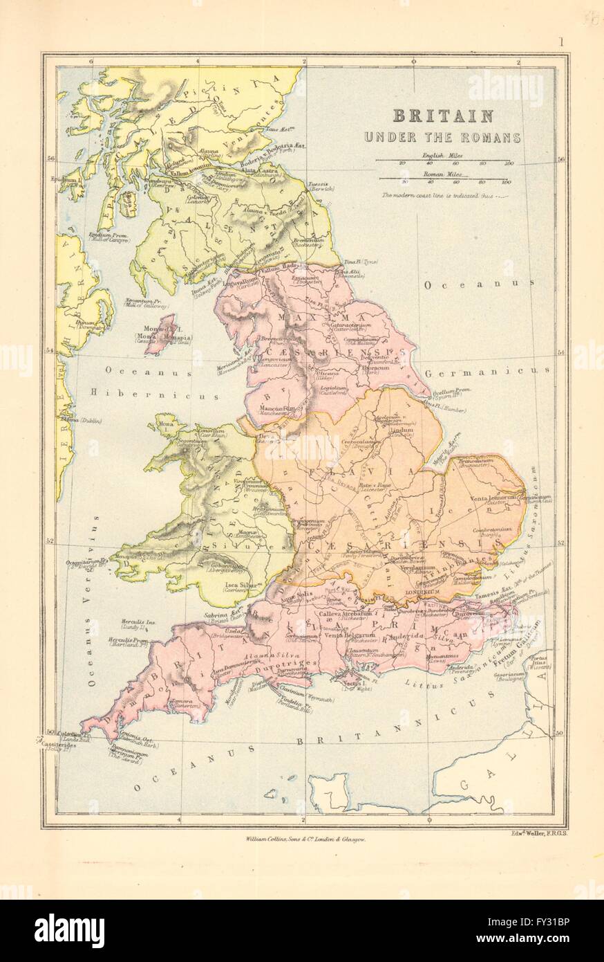
ROMAN BRITAIN Provinces Valentia britannia Prima Secunda Flavia Caesar, 1876 map
RFID:Image ID:FY31BP
Image details
Contributor:
Antiqua Print Gallery / Alamy Stock PhotoImage ID:
FY31BPFile size:
17.2 MB (847.8 KB Compressed download)Releases:
Model - no | Property - noDo I need a release?Dimensions:
2012 x 2991 px | 17 x 25.3 cm | 6.7 x 10 inches | 300dpiDate taken:
1876Location:
Great BritainMore information:
This image could have imperfections as it’s either historical or reportage.
'Britain under The Romans'. Artist/engraver/cartographer: J. Bartholomew, Edinburgh. Provenance: "The Library Atlas"; by James Bryce, William F. Collier, Leonhard Schmitz; Published by William Collins, London [First edition]. Type: Antique colour map.