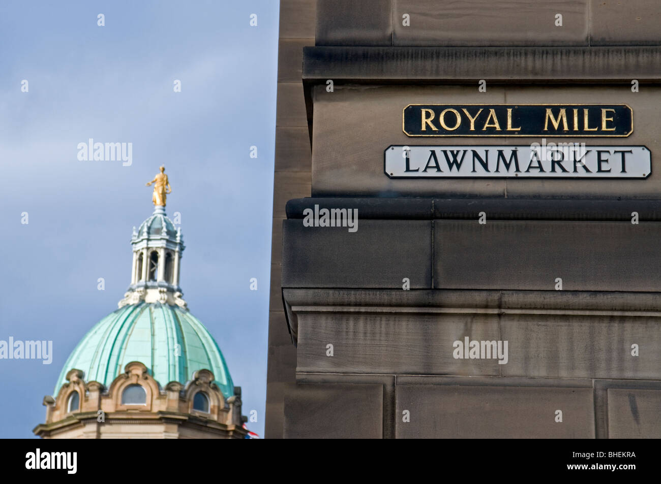
Royal Mile Lawnmarket sign and Bank of Scotland Domed Roof Bank Street Edinburgh SCO 6078

Image details
Contributor:
David Gowans / Alamy Stock PhotoImage ID:
BHEKRAFile size:
60 MB (1.7 MB Compressed download)Releases:
Model - no | Property - noDo I need a release?Dimensions:
5620 x 3733 px | 47.6 x 31.6 cm | 18.7 x 12.4 inches | 300dpiDate taken:
10 February 2010Location:
Royal Mile Edinburgh Lothian Region Scotland UKMore information:
The Royal Mile is a succession of streets which form the main thoroughfare of the Old Town of the city of Edinburgh in Scotland. As the name suggests, the Royal Mile is approximately one Scots mile long, and runs between two foci of history in Scotland, from Edinburgh Castle at the top of the Castle Rock down to Holyrood Abbey. The streets which make up the Royal Mile are (west to east) Castle Esplanade, Castlehill, Lawnmarket, High Street, Canongate and Abbey Strand. The Royal Mile is Edinburgh Old Town's busiest tourist street, rivalled only by Princes Street in the New Town. The Lawnmarket, which was the linen market, is dominated by tourist-oriented shops. On the left is the preserved 17th century townhouse Gladstone's Land owned by the National Trust for Scotland. The bottom of the Lawnmarket is marked by a major intersection with George IV Bridge on the right (south) and Bank Street on the left, leading to The Mound and the New Town. The view down Bank Street is dominated by the baroque headquarters of the Bank of Scotland.