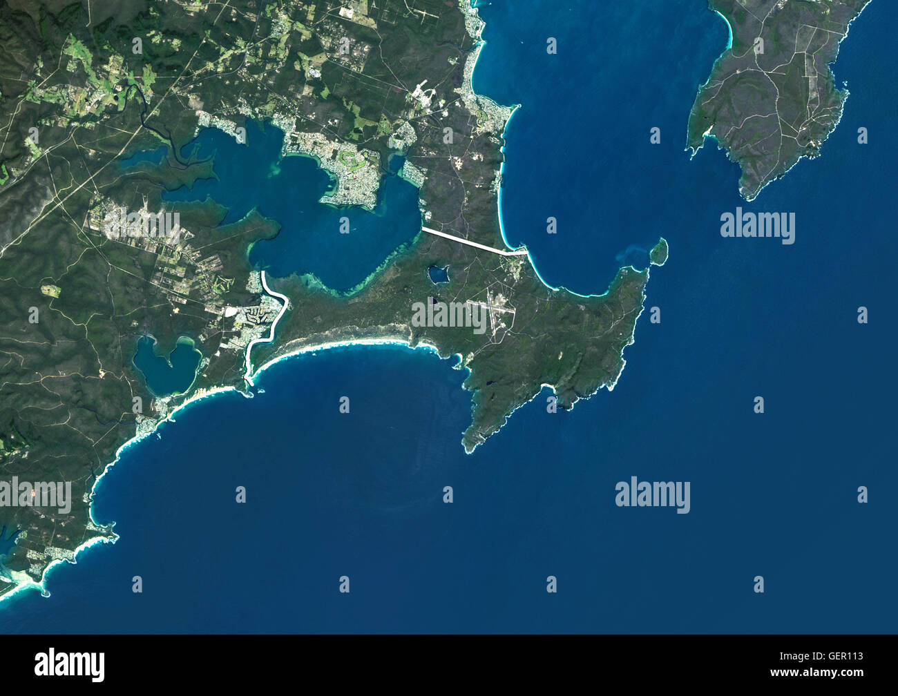
Satellite view of Jervis Bay Territory, Australia (with administrative boundaries). This image was compiled from data acquired by Landsat 8 satellite in 2014.
RMID:Image ID:GER113
Image details
Contributor:
Universal Images Group North America LLC / Alamy Stock PhotoImage ID:
GER113File size:
49.8 MB (1.8 MB Compressed download)Releases:
Model - no | Property - noDo I need a release?Dimensions:
4961 x 3507 px | 42 x 29.7 cm | 16.5 x 11.7 inches | 300dpiDate taken:
2014Photographer:
Planet Observer/UIGMore information:
Jervis Bay Territory, Australia, Natural Colour Satellite Image