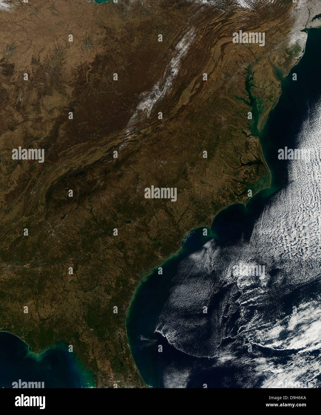
Satellite view of the Southeastern United States.

RFID:Image ID:D9H6KA
Image details
Contributor:
Stocktrek Images, Inc. / Alamy Stock PhotoImage ID:
D9H6KAFile size:
51.2 MB (4.4 MB Compressed download)Releases:
Model - no | Property - noDo I need a release?Dimensions:
3848 x 4650 px | 32.6 x 39.4 cm | 12.8 x 15.5 inches | 300dpiDate taken:
3 January 2011Photographer:
Stocktrek ImagesMore information:
January 3, 2011 - Satellite view of the Southeastern United States. In the northeast corner of the image, snow covers eastern New Jersey and Long Island, New York. The southwest corner of Connecticut can also be seen blanketed in white. Near the center of the image, the Appalachian Mountains are covered in white across Pennsylvania, West Virginia, western Maryland and western Virginia. A light dusting of snow brushes the landscape in several small, other widely scattered areas.