SCOTLAND: Lanark: Lanarkshire: Philip, 1891 antique map
RFID:Image ID:FPX5PT
Image details
Contributor:
Antiqua Print Gallery / Alamy Stock PhotoImage ID:
FPX5PTFile size:
12.9 MB (905.2 KB Compressed download)Releases:
Model - no | Property - noDo I need a release?Dimensions:
1923 x 2338 px | 32.6 x 39.6 cm | 12.8 x 15.6 inches | 150dpiDate taken:
1891Location:
ScotlandMore information:
This image could have imperfections as it’s either historical or reportage.
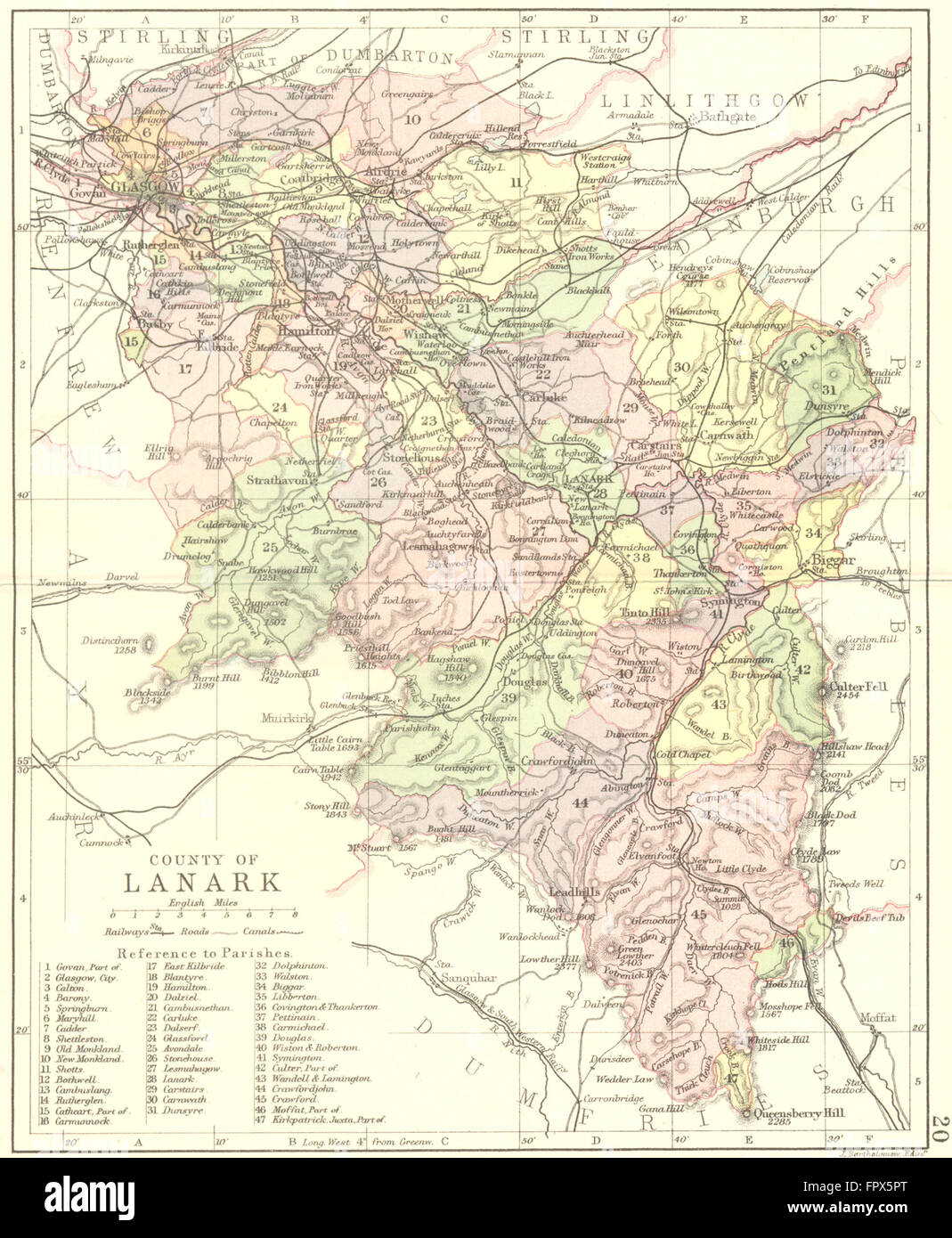
'County of Lanark'. Artist/engraver/cartographer: Engraved by J. Bartholomew, Edinr; Philip. Provenance: "Philip's Handy Atlas of the Counties of Scotland" constructed by John Bartholomew, F.R.G.S; Published by George Philip & Son, London. Type: Antique coloured engraved map.