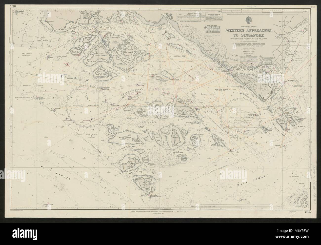
Singapore Strait. Western Approaches. Admiralty nautical sea chart 1969 map

RFID:Image ID:M6Y5FW
Image details
Contributor:
Antiqua Print Gallery / Alamy Stock PhotoImage ID:
M6Y5FWFile size:
308.7 MB (9.7 MB Compressed download)Releases:
Model - no | Property - noDo I need a release?Dimensions:
12468 x 8653 px | 105.6 x 73.3 cm | 41.6 x 28.8 inches | 300dpiDate taken:
1969Location:
SingaporeMore information:
This image could have imperfections as it’s either historical or reportage.
Artist/engraver/cartographer: From Admiralty surveys & Indonesian Government charts. Provenance: London. Published Taunton under the Superintendance of Rear Admiral GS Richie, Hydrographer of the Navy. Crown Copyright. Contains public sector information licensed under the Open Government Licence v3.0. Type: Large British nautical sea chart.