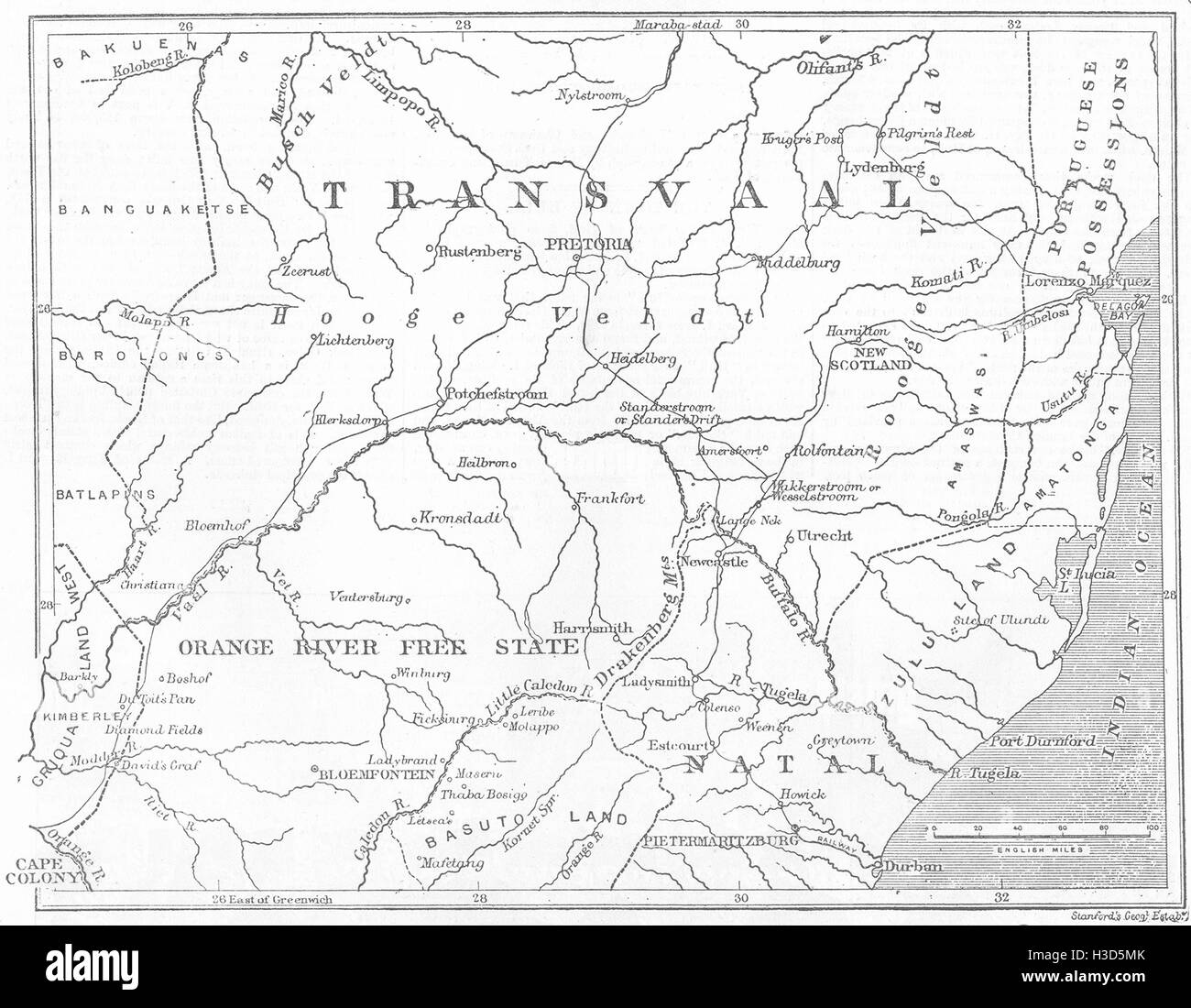
SOUTH AFRICA Map of the Transvaal and adjacent provinces 1881. The Illustrated London News
RFID:Image ID:H3D5MK
Image details
Contributor:
Antiqua Print Gallery / Alamy Stock PhotoImage ID:
H3D5MKFile size:
17.2 MB (753.6 KB Compressed download)Releases:
Model - no | Property - noDo I need a release?Dimensions:
2779 x 2160 px | 23.5 x 18.3 cm | 9.3 x 7.2 inches | 300dpiDate taken:
1881Location:
South AfricaMore information:
This image could have imperfections as it’s either historical or reportage.
Map of the Transvaal and adjacent provinces, from The Illustrated London News, 1881. SOUTH AFRICA: Map of the Transvaal and adjacent provinces, 1881. South Africa Maps