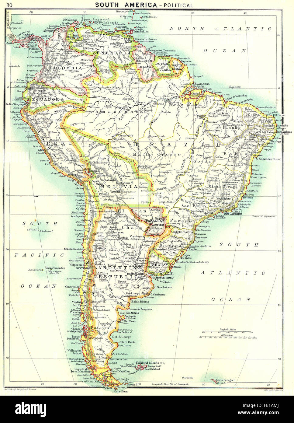
SOUTH AMERICA: Political, 1900 antique map
RFID:Image ID:FE1AMJ
Image details
Contributor:
Antiqua Print Gallery / Alamy Stock PhotoImage ID:
FE1AMJFile size:
28.9 MB (2.5 MB Compressed download)Releases:
Model - no | Property - noDo I need a release?Dimensions:
2742 x 3686 px | 23.2 x 31.2 cm | 9.1 x 12.3 inches | 300dpiDate taken:
1900More information:
This image could have imperfections as it’s either historical or reportage.
Artist/engraver/cartographer: Engraved by John Bartholomew & Co. Provenance: "The International Student's Atlas of Modern Geography", under the direction of J.G. Bartholomew F.R.S.E., F.R.G.S., etc; Published by George Newnes, Limited, London. Type: Colour antique map.