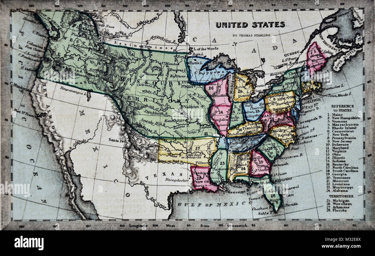
Starling 1834 Map - United States Missouri Territory
RFID:Image ID:M32E8X
Image details
Contributor:
Lake Erie Maps and Prints / Alamy Stock PhotoImage ID:
M32E8XFile size:
25 MB (2.2 MB Compressed download)Releases:
Model - no | Property - noDo I need a release?Dimensions:
3774 x 2319 px | 32 x 19.6 cm | 12.6 x 7.7 inches | 300dpiDate taken:
3 February 2018More information:
This image could have imperfections as it’s either historical or reportage.