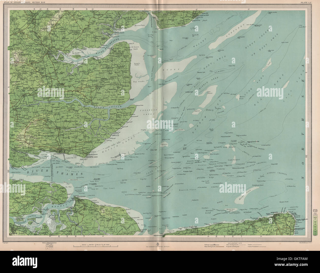
THAMES ESTUARY Buoys Lightships Medway Southend Sheerness Margate LARGE 1903 map
Image details
Contributor:
Antiqua Print Gallery / Alamy Stock PhotoImage ID:
GKTFAMFile size:
97.6 MB (5.6 MB Compressed download)Releases:
Model - no | Property - noDo I need a release?Dimensions:
6595 x 5172 px | 55.8 x 43.8 cm | 22 x 17.2 inches | 300dpiDate taken:
1903Location:
EnglandMore information:
This image could have imperfections as it’s either historical or reportage.
'The Thames Estuary'. Artist/engraver/cartographer: John Bartholomew & Co. Provenance: "The survey atlas of England & Wales", a series of eighty-four plates of maps and plans, with descriptive text, illustrating the topography, physiography, geology, climate, and the political and commercial features of the country. Designed and prepared under the direction of J. G. Bartholomew. Drawn and engraved, printed and published at the Edinburgh Geographical Institute under the patronage of the Royal Geographical Society, 1903. Type: Antique large-scale colour survey atlas map; Scale 1: 126, 720.