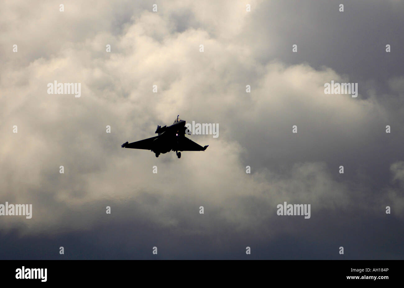
The Dassault Rafale M (or "Squall" in English) is a French twin-engined delta-wing highly agile multi-role fighter aircraft

Image details
Contributor:
David Gowans / Alamy Stock PhotoImage ID:
AH184PFile size:
60 MB (1.2 MB Compressed download)Releases:
Model - no | Property - noDo I need a release?Dimensions:
5710 x 3674 px | 48.3 x 31.1 cm | 19 x 12.2 inches | 300dpiLocation:
RAF Lossiemouth Morayshire Scotland UK EuropeMore information:
Rafale is replacing seven specialised planes. The Rafale is being produced both for land-based use with the French Air Force and for carrier-based naval operations with the French Navy. It has also been marketed for export; whilst several countries have expressed interest in the Rafale, there have been no foreign sales as of yet. This is the carrier-borne version for the Aéronavale, which entered service in 2002. The Rafale M weighs about 500 kg (1, 100 lb) more than the Rafale C. Very similar to the Rafale C in appearance, the M differs in the following respects: Strengthened to withstand the rigors of carrier-based aviation Stronger landing gear Longer nose gear leg to provide a more nose-up attitude for catapult launches Deleted front center pylon (to give space for the longer gear) Large stinger-type tailhook between the engines Built-in power operated boarding ladder Carrier microwave landing system "Telemir" inertial reference platform that can receive updates from the carrier systems. The Rafale carries, for the first time in aviation history, an integrated electronic survival system named SPECTRA which features a software-based virtual stealth technology. The most important sensor is the Thales RBE2 passive electronically scanned multi-mode radar. Thales claims to have achieved unprecedented levels of situational awareness through the earlier detection and tracking of multiple air targets for close combat and long-range interception, as well as real time generation of three-dimensional maps for terrain-following and the real time generation of high resolution ground maps for navigation and targeting.