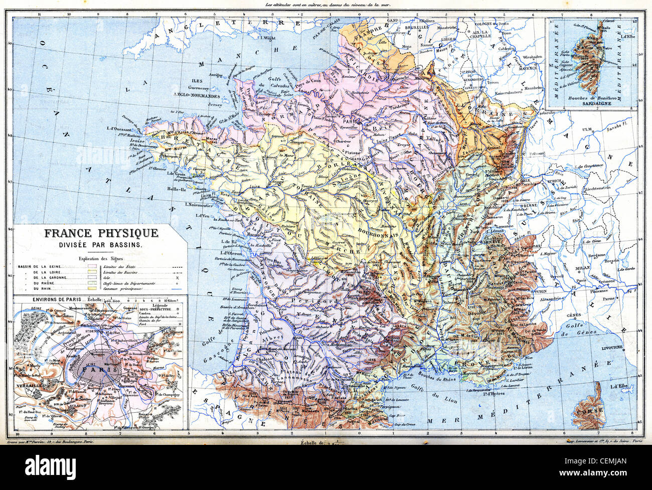
The Map- France physical (France - Divided into Basins) with explanation of signs on map.
RFID:Image ID:CEMJAN
Image details
Contributor:
Patrick Guenette / Alamy Stock PhotoImage ID:
CEMJANFile size:
48.8 MB (8.8 MB Compressed download)Releases:
Model - no | Property - noDo I need a release?Dimensions:
5000 x 3413 px | 42.3 x 28.9 cm | 16.7 x 11.4 inches | 300dpi