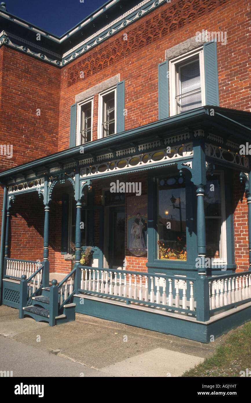
The picturesque architecture of the historic Eastern Townships (the Estrie) in Quebec,Canada is much admired and photographed
Image details
Contributor:
NORMA JOSEPH / Alamy Stock PhotoImage ID:
AGJYHTFile size:
50.3 MB (2 MB Compressed download)Releases:
Model - no | Property - noDo I need a release?Dimensions:
3424 x 5130 px | 29 x 43.4 cm | 11.4 x 17.1 inches | 300dpiLocation:
Eastern townships, Estrie, Quebec,CanadaMore information:
The Eastern Townships is a large area of Quebec, situated along the American border, beginning at Lake Champlain. It stretches as far east as the Quebec-Maine border and as far north as Drummondville. It's made up of all the land south of the St. Lawrence River which was not granted under the French seigneurial system. Technically, a small strip of land on the south west corner of this region, known as the Seigneury of St. Armand, (located directly under the townships of Stanbridge and Dunham) is not a part of the Townships, but for genealogical purposes most people put it with the rest of the Townships because it was settled by the same type of people. The Eastern Townships was opened up for settlement by the British in the early 1790's. The more southerly regions tended to be settled primarily by Americans from the New England states, the more northern regions by immigrants from the British Isles. A wave of French-Canadian settlers swept into the region in the 1840s and by the 1871 census French-Canadians made up the majority of the population of the Townships. As the name implies, the region (now called the Estrie) was organized by townships which were then grouped into counties for administrative purposes.