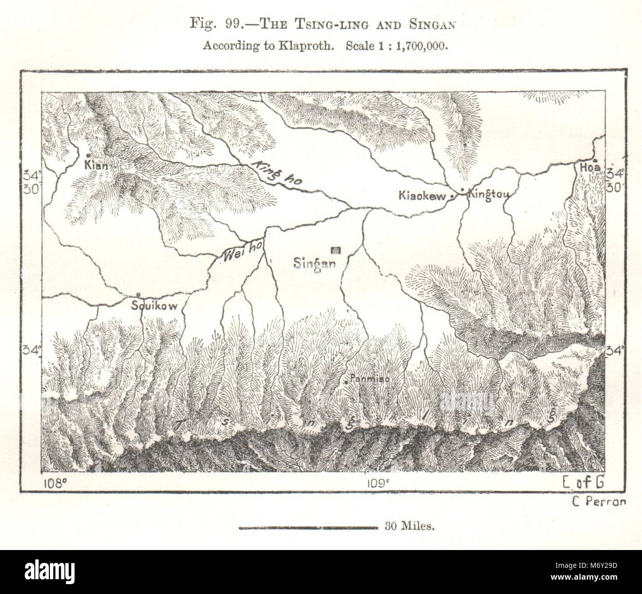
Tsing-ling (Qinling Mountains) & Singan (Xian). Klaproth. China. Sketch map 1885
RFID:Image ID:M6Y29D
Image details
Contributor:
Antiqua Print Gallery / Alamy Stock PhotoImage ID:
M6Y29DFile size:
19.3 MB (703.3 KB Compressed download)Releases:
Model - no | Property - noDo I need a release?Dimensions:
2804 x 2400 px | 23.7 x 20.3 cm | 9.3 x 8 inches | 300dpiDate taken:
1885Location:
ChinaMore information:
This image could have imperfections as it’s either historical or reportage.
Artist/engraver/cartographer: Perron. Provenance: The Universal Geography by Elisee Reclus Edited by E.G.Ravenstein, F.R.G.S., F.S.S. published by J.S. Virtue & Co Ltd London. Type: Antique engraved sketch map.