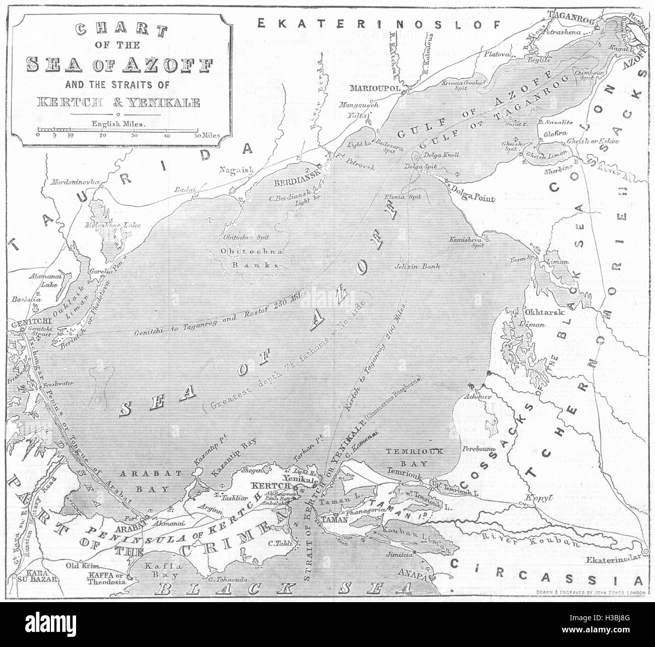
UKRAINE Chart of the sea of Azoff and the straits of Kerch & Yenikale 1855. The Illustrated London News
RFID:Image ID:H3BJ8G
Image details
Contributor:
Antiqua Print Gallery / Alamy Stock PhotoImage ID:
H3BJ8GFile size:
21.3 MB (1.1 MB Compressed download)Releases:
Model - no | Property - noDo I need a release?Dimensions:
2845 x 2613 px | 24.1 x 22.1 cm | 9.5 x 8.7 inches | 300dpiDate taken:
1855Location:
UkraineMore information:
This image could have imperfections as it’s either historical or reportage.
Chart of the sea of Azoff and the straits of Kertch & Yenikale, from The Illustrated London News, 1855. UKRAINE: Chart of the sea of Azoff and the straits of Kerch & Yenikale, 1855 map. Ukraine Maps