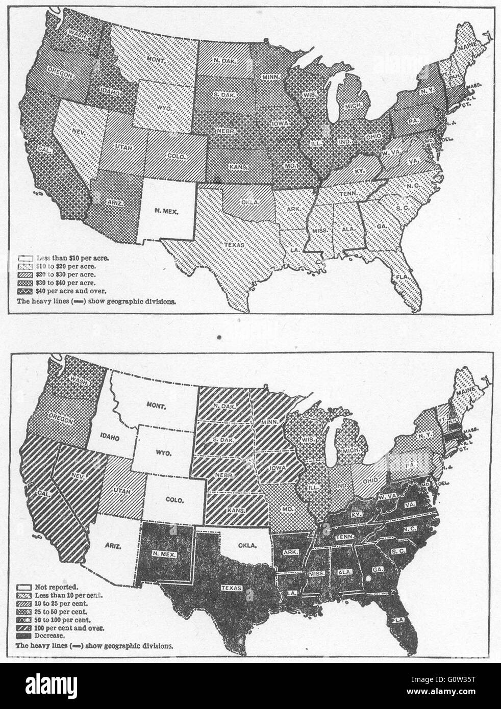
USA: Average farm land value 1910; Farmland increase 1860-70 sketch map 1942
RFID:Image ID:G0W35T
Image details
Contributor:
Antiqua Print Gallery / Alamy Stock PhotoImage ID:
G0W35TFile size:
5.8 MB (509.7 KB Compressed download)Releases:
Model - no | Property - noDo I need a release?Dimensions:
1243 x 1644 px | 21 x 27.8 cm | 8.3 x 11 inches | 150dpiDate taken:
1942Location:
USAMore information:
This image could have imperfections as it’s either historical or reportage.
'Average value of Farm Land per acre: 1910; Increase in Farm Property by States: 1860-1870'. Artist/engraver/cartographer: From Thirteenth Census of the United States, 1910. Provenance: "The Growth of the American Republic", by Samuel Eliot Morison and Henry Steele Commager; Published by Oxford University Press, London. Type: Vintage map.