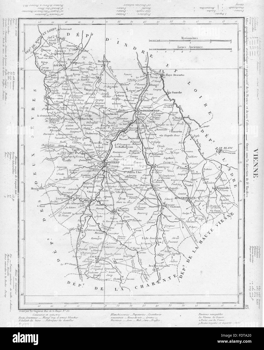
VIENNE: Vienne département. Tardieu, 1830 antique map

RFID:Image ID:FDTA20
Image details
Contributor:
Antiqua Print Gallery / Alamy Stock PhotoImage ID:
FDTA20File size:
22.1 MB (1.4 MB Compressed download)Releases:
Model - no | Property - noDo I need a release?Dimensions:
2496 x 3098 px | 21.1 x 26.2 cm | 8.3 x 10.3 inches | 300dpiDate taken:
1830Location:
VienneMore information:
This image could have imperfections as it’s either historical or reportage.
Artist/engraver/cartographer: Unsigned. Provenance: "Atlas Géographique Statistique et Progressif des Départments de la France et de ses Colonies"; Published by P. Gardien, Paris. Type: Antique engraved map. The text around the outside of the border gives information about population, electorate, size, revenues & taxes, main towns, industries, land use, parliamentary deputies, extractive & manufacturing industries.