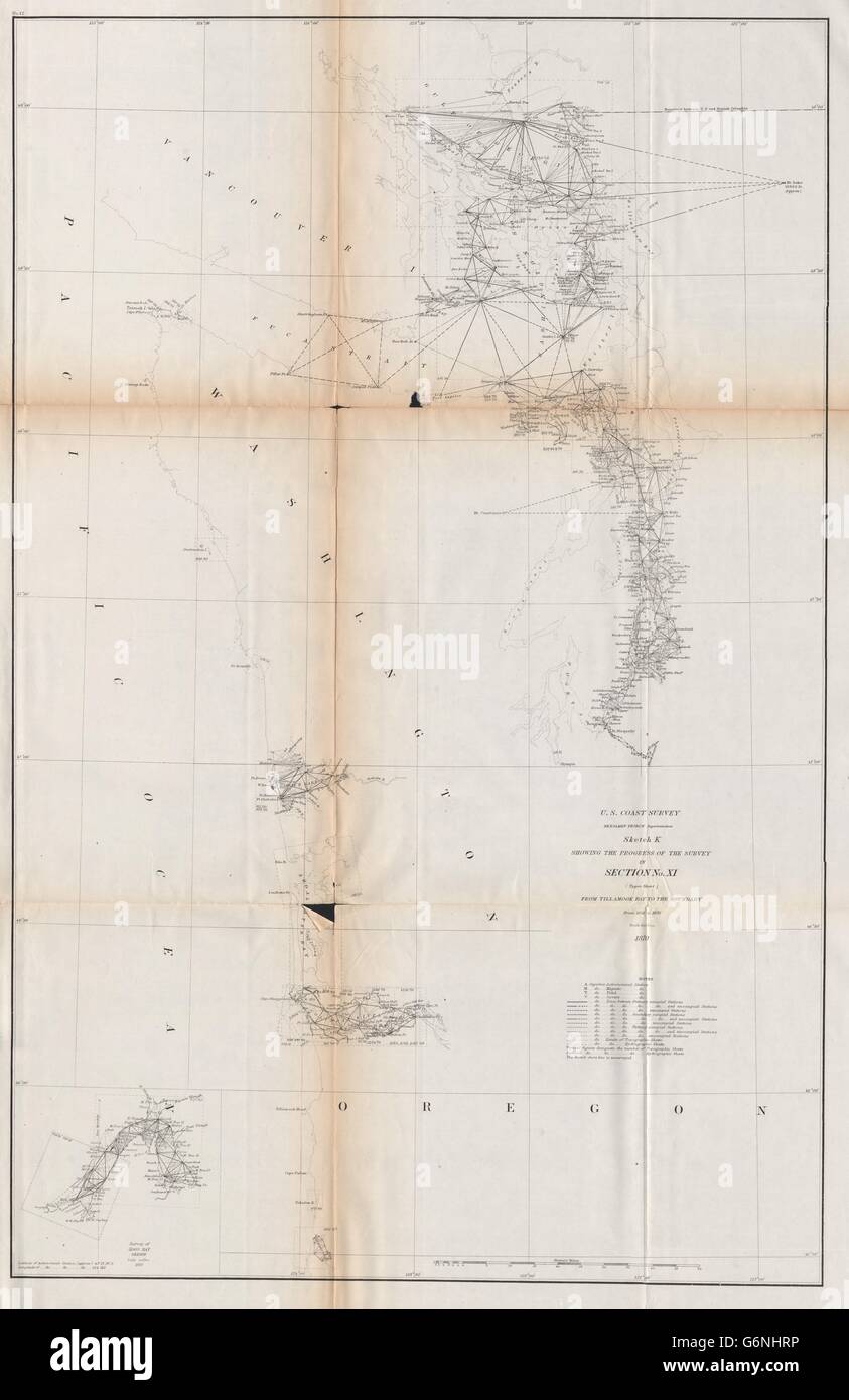
WASHINGTON COAST SURVEY: Puget Sound Tacoma Seattle Juan de Fuca. USCGS 1870 map

RFID:Image ID:G6NHRP
Image details
Contributor:
Antiqua Print Gallery / Alamy Stock PhotoImage ID:
G6NHRPFile size:
144.2 MB (3.7 MB Compressed download)Releases:
Model - no | Property - noDo I need a release?Dimensions:
5719 x 8812 px | 48.4 x 74.6 cm | 19.1 x 29.4 inches | 300dpiDate taken:
1870Location:
USA Pacific North WestMore information:
This image could have imperfections as it’s either historical or reportage.
'U.S. Coast survey Benjamin Peirce Superintendent sketch K showing the progress of the survey in Section No. XI from Tillamook Bay to the Boundary from 1851 to 1870'. Artist/engraver/cartographer: United States Coast & Geodetic Survey. Provenance: "Report of the Superintendent of the United States Coast Survey-1870"; Published by Government Printing Office, Washington. Type: Antique survey map chart; Scale 1:600, 000.