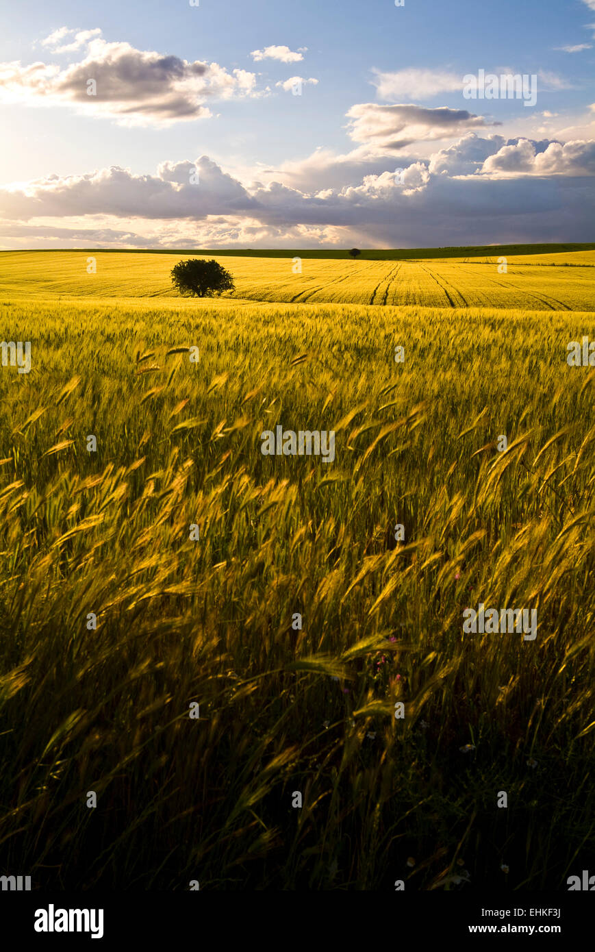
Wheat field, Apulia, Italy
RFID:Image ID:EHKF3J
Image details
Contributor:
Massimo Rivenci / Alamy Stock PhotoImage ID:
EHKF3JFile size:
34.7 MB (1.6 MB Compressed download)Releases:
Model - no | Property - noDo I need a release?Dimensions:
2848 x 4256 px | 24.1 x 36 cm | 9.5 x 14.2 inches | 300dpiDate taken:
6 May 2010Location:
Contrada Difensola, 71010 San Paolo di Civitate FG, ItaliaMore information:
The Tavoliere delle Puglie (Italian: "Table of the Apulias") is a plain in northern Apulia, southern Italy, occupying nearly a half of the Capitanata traditional region. It covers a surface of c. 3, 000 km², once constituting a sea bottom: it is bounded by the Daunian Pre-Apennines on the West, the Gargano Promontory and the Adriatic Sea on the East, and by the Fortore and Ofanto rivers on the south. It is the Italian largest plain after the Pianura Padana.