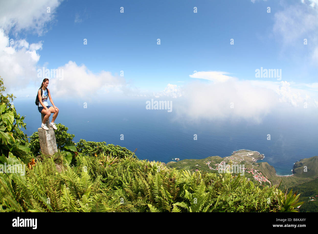
Woman climbing up Saba volcano Mt.Scenery and enjoying it's view over rainforest with huge green plants and clouds of mist.

Image details
Contributor:
Fotograferen.net / Alamy Stock PhotoImage ID:
B8KAXYFile size:
52.6 MB (2.1 MB Compressed download)Releases:
Model - yes | Property - noDo I need a release?Dimensions:
5250 x 3500 px | 44.5 x 29.6 cm | 17.5 x 11.7 inches | 300dpiDate taken:
2006Location:
Mt. Scenery Mount Scenery Saba Netherlands Antilles Nederlandse Antillen Antills Caribbean DutchMore information:
Woman looking out from Mount Scenery in the background the Airstrip of Juancho E. Yrausquin Airport on the Caribbean isle Saba in the Netherlands Antilles. Juancho E. Yrausquin Airport (IATA: SAB, ICAO: TNCS) is the only airport on the Saba. The airport's sole runway is marked with an X at each end, to indicate to commercial pilots that the airport is closed for commercial aviation. Although the airport is marked as a non-commercial facility, airlines are able to land there by obtaining waivers from the Netherlands Antilles' Civil Aviation Authority. The danger arises from the airport's physical position. It is flanked on one side by high hills, and on the other side and at both ends of the runway by cliffs dropping into the sea. Saba is the smallest island of the Netherlands Antilles. It consists largely of the sleeping volcano, Mount Scenery (877 m or 2855 feet), the highest point of the Netherlands and has a total land area of 5 sq miles or 13 km2. The hike to the top of Mount Scenery over a stairs with over a 1000 steps is a big tourist attraction. The major settlements on Saba include The Bottom, Windwardside, Hell's Gate and St. Johns