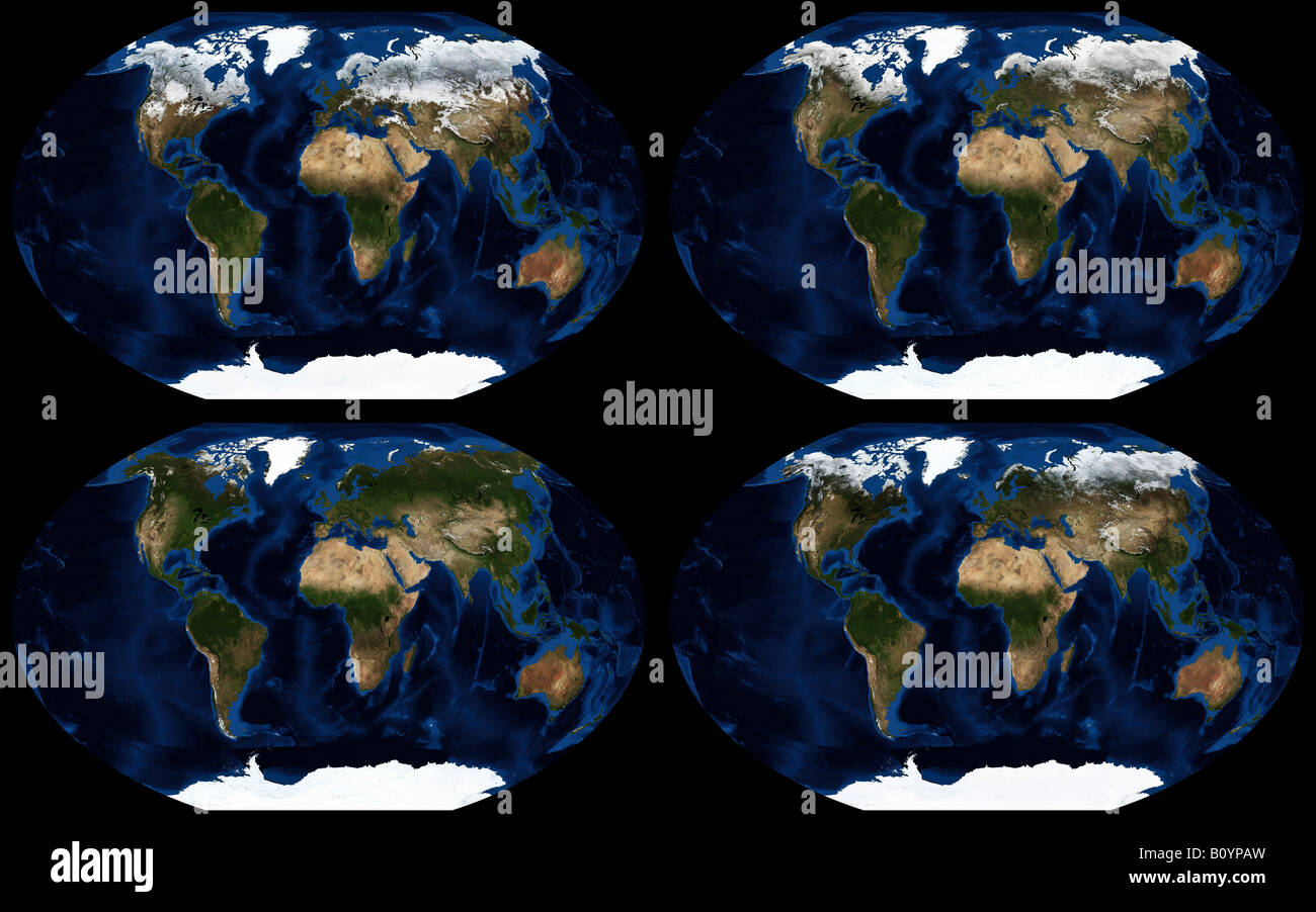
Worldwide seasonal changes in land ice coverage in 2004

RMID:Image ID:B0YPAW
Image details
Contributor:
ASP GeoImaging/NASA / Alamy Stock PhotoImage ID:
B0YPAWFile size:
56.1 MB (2.1 MB Compressed download)Releases:
Model - no | Property - noDo I need a release?Dimensions:
5600 x 3500 px | 47.4 x 29.6 cm | 18.7 x 11.7 inches | 300dpiDate taken:
2004More information:
This composite true color image shows the seasonal changes in land ice coverage between January (top left), April (top right), July (bottom left) and October 2004 (bottom right). Relief shading of land topography and ocean bathymetry has been applied. Projection is Winkel Tripel, coverage is 360x180 degrees. Based on imagery produced by the Blue Marble Next Generation project at NASA Visible Earth (http://visibleearth.nasa.gov).