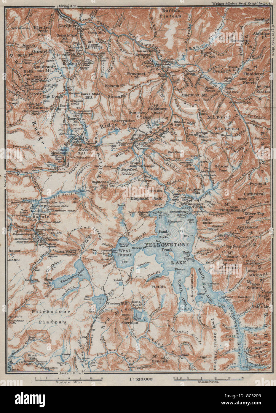
YELLOWSTONE NATIONAL PARK. Topo-map. Wyoming. BAEDEKER, 1909
RFID:Image ID:GC52R9
Image details
Contributor:
Antiqua Print Gallery / Alamy Stock PhotoImage ID:
GC52R9File size:
12.8 MB (1.3 MB Compressed download)Releases:
Model - no | Property - noDo I need a release?Dimensions:
1790 x 2498 px | 15.2 x 21.1 cm | 6 x 8.3 inches | 300dpiDate taken:
1909Location:
WyomingMore information:
This image could have imperfections as it’s either historical or reportage.
Artist/engraver/cartographer: Wagner & Debes. Provenance: "The United States with excursions to Mexico, Cuba, Porto Rico, and Alaska"; by Karl Baedeker, Published by Karl Baedeker, London: 4th Edition. Type: Antique colour map; Scale 1:530.000.