Quick filters:
10th century maps Stock Photos and Images
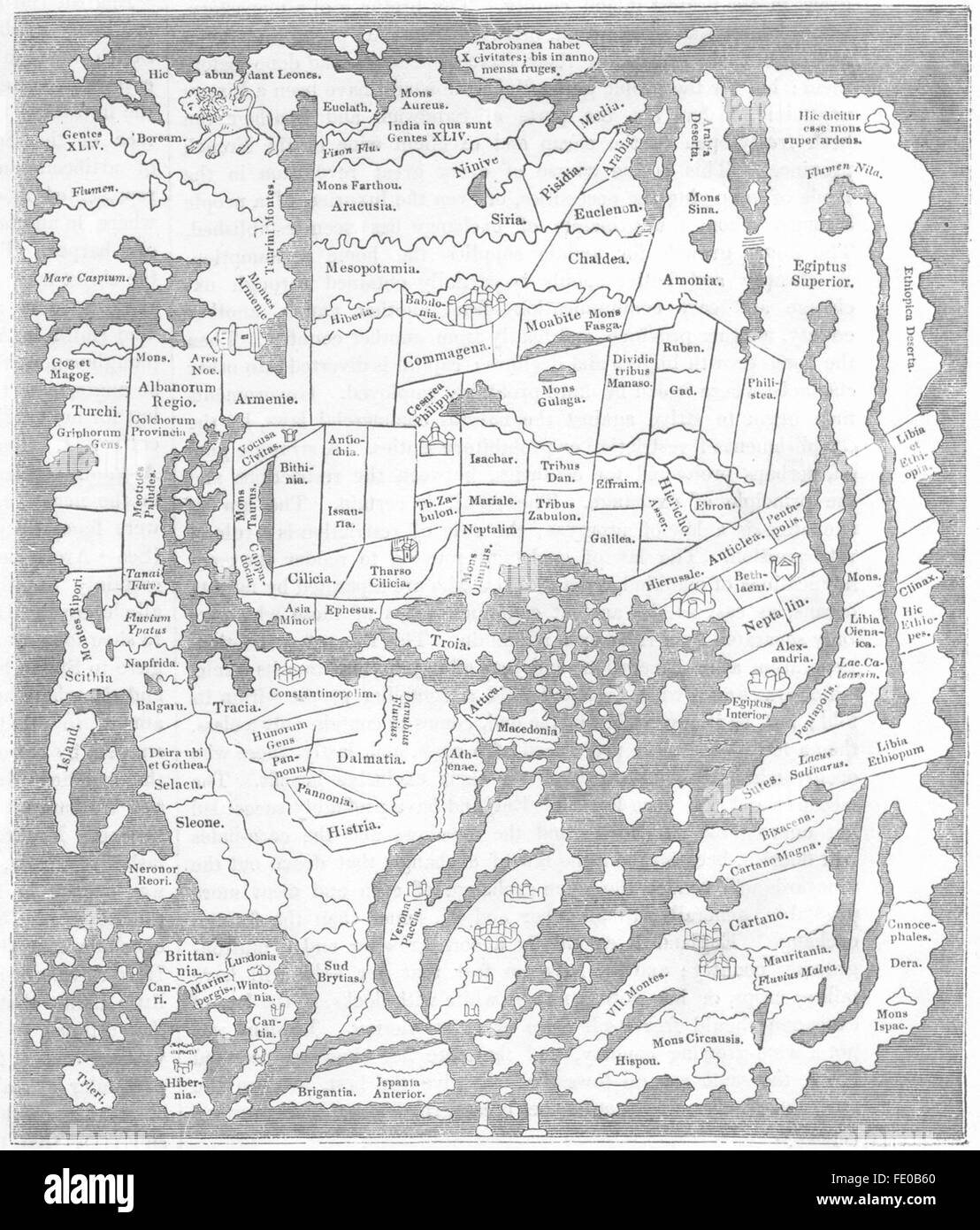 MAPS: Saxon 10th Century: Pillars of Hercules, 1845 Stock Photohttps://www.alamy.com/image-license-details/?v=1https://www.alamy.com/stock-photo-maps-saxon-10th-century-pillars-of-hercules-1845-94665816.html
RFFE0B60–MAPS: Saxon 10th Century: Pillars of Hercules, 1845
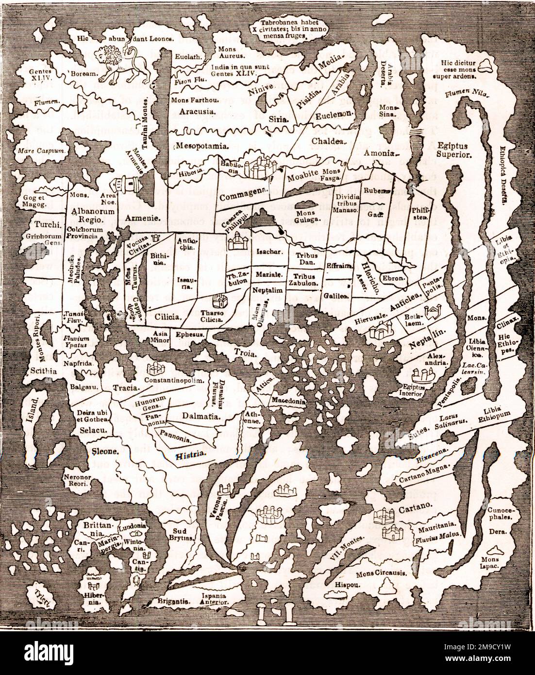 Anglo Saxon Map Of the World from the 10th Century - Pillars Of Hercules Stock Photohttps://www.alamy.com/image-license-details/?v=1https://www.alamy.com/anglo-saxon-map-of-the-world-from-the-10th-century-pillars-of-hercules-image504917221.html
RM2M9CY1W–Anglo Saxon Map Of the World from the 10th Century - Pillars Of Hercules
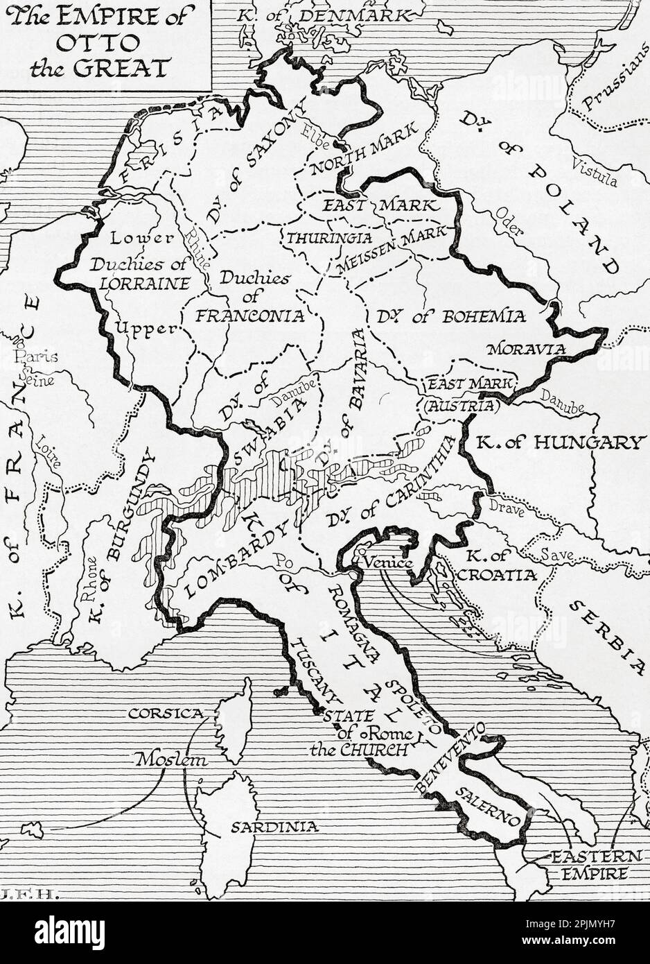 Map of the empire of Otto the Great, 10th century. From the book Outline of History by H.G. Wells, published 1920. Stock Photohttps://www.alamy.com/image-license-details/?v=1https://www.alamy.com/map-of-the-empire-of-otto-the-great-10th-century-from-the-book-outline-of-history-by-hg-wells-published-1920-image545045907.html
RM2PJMYH7–Map of the empire of Otto the Great, 10th century. From the book Outline of History by H.G. Wells, published 1920.
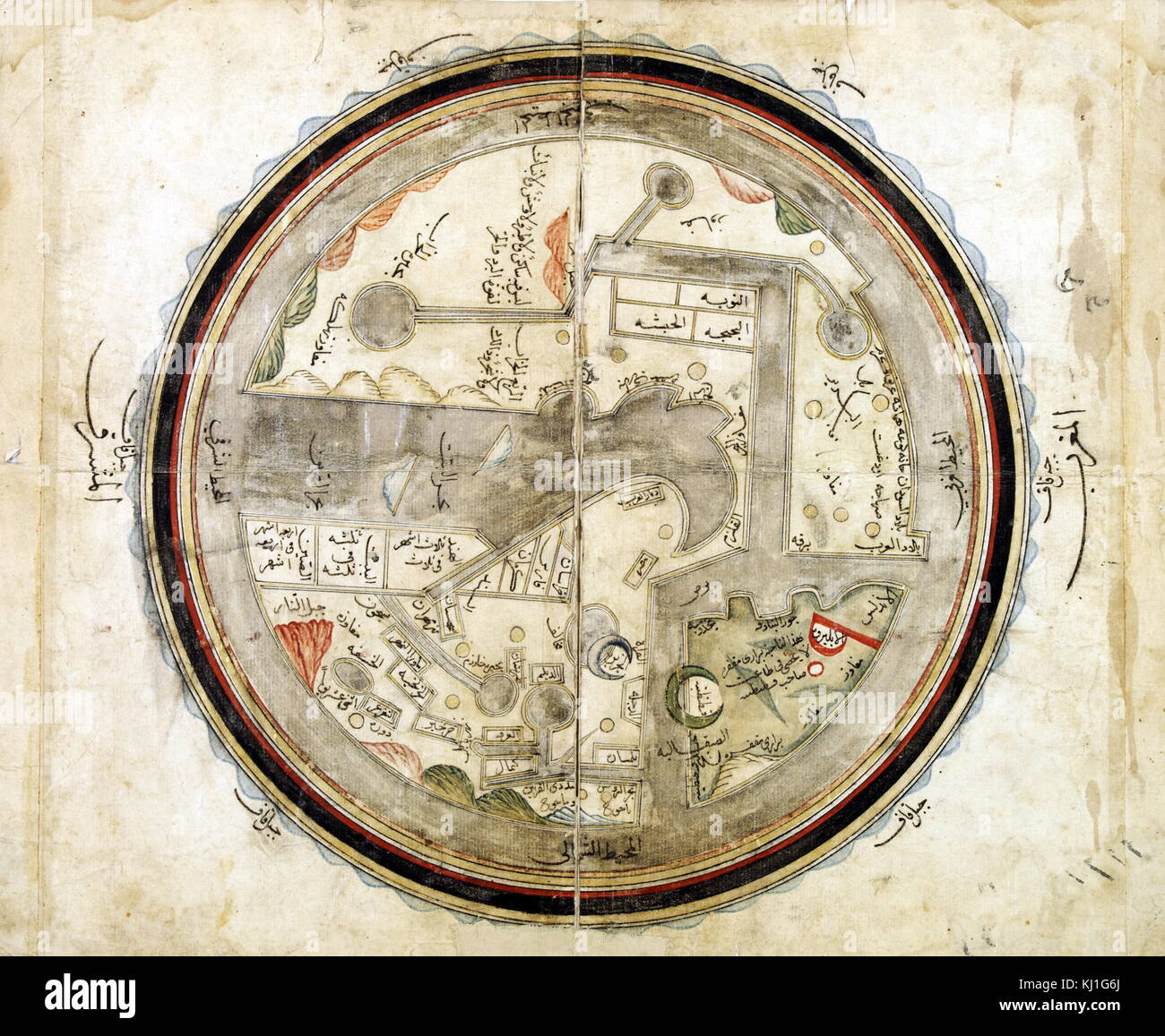 Medieval 10th century World map by Abu Ishaq Ibrahim ibn Muhammad al-Farisi al Istakhri (Estakhri), A Persian: geographer and cartographer circa 957 AD Stock Photohttps://www.alamy.com/image-license-details/?v=1https://www.alamy.com/stock-image-medieval-10th-century-world-map-by-abu-ishaq-ibrahim-ibn-muhammad-165991802.html
RMKJ1G6J–Medieval 10th century World map by Abu Ishaq Ibrahim ibn Muhammad al-Farisi al Istakhri (Estakhri), A Persian: geographer and cartographer circa 957 AD
 Anglo Saxon Britain. Anglo-Saxon map of the world in the 10th century. Victorian woodcut circa 1845. Stock Photohttps://www.alamy.com/image-license-details/?v=1https://www.alamy.com/anglo-saxon-britain-anglo-saxon-map-of-the-world-in-the-10th-century-image62191610.html
RMDH520X–Anglo Saxon Britain. Anglo-Saxon map of the world in the 10th century. Victorian woodcut circa 1845.
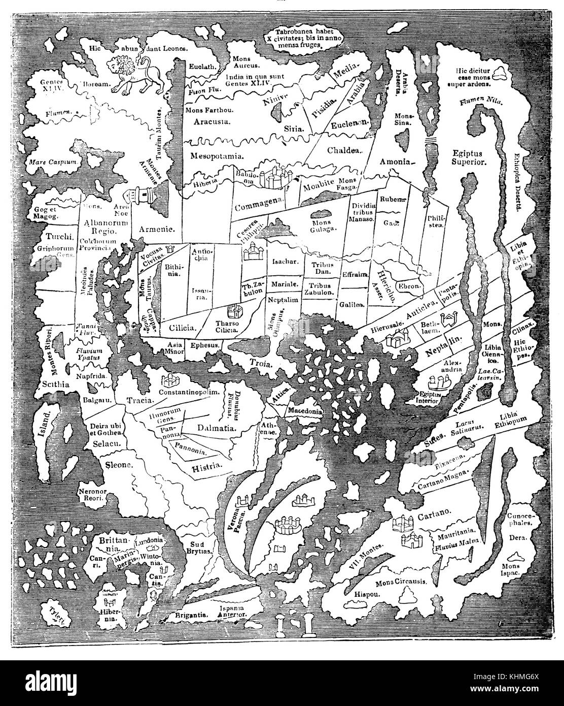 The early Map taken from a 10th century map in the Cottonian Library is imperfect but sufficiently useful to aid Anglo Saxon trade from England. Stock Photohttps://www.alamy.com/image-license-details/?v=1https://www.alamy.com/stock-image-the-early-map-taken-from-a-10th-century-map-in-the-cottonian-library-165794242.html
RMKHMG6X–The early Map taken from a 10th century map in the Cottonian Library is imperfect but sufficiently useful to aid Anglo Saxon trade from England.
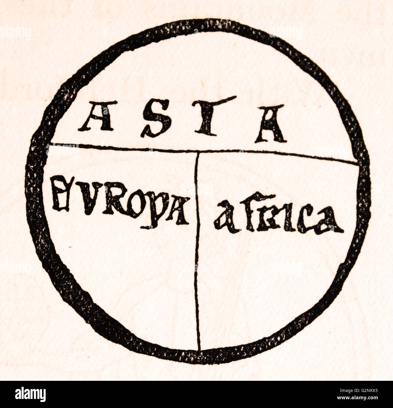 A T-map, showing three known continents on a flat earth projection from the 10th century. Stock Photohttps://www.alamy.com/image-license-details/?v=1https://www.alamy.com/stock-photo-a-t-map-showing-three-known-continents-on-a-flat-earth-projection-104967945.html
RMG2NKK5–A T-map, showing three known continents on a flat earth projection from the 10th century.
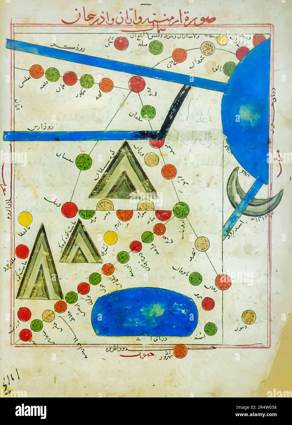 Map of Armenia, Caucasian Albania, Iranian Azerbaijan. 10th century. The map was made by persian geographer istakhri Stock Photohttps://www.alamy.com/image-license-details/?v=1https://www.alamy.com/map-of-armenia-caucasian-albania-iranian-azerbaijan-10th-century-the-map-was-made-by-persian-geographer-istakhri-image553739348.html
RM2R4W058–Map of Armenia, Caucasian Albania, Iranian Azerbaijan. 10th century. The map was made by persian geographer istakhri
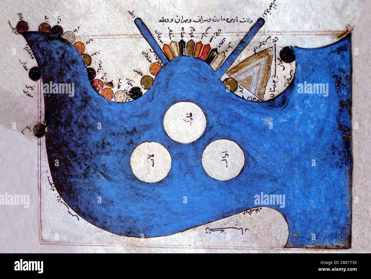 Iran/Persia: A map of the Persian/Arab Gulf and Arabian Sea based on a 10th century map by Abu Ishaq Ibrahim al-Istakhri (850-957), c. 14th-15th century. Abu Ishaq Ibrahim ibn Muhammad al-Farisi al Istakhri (aka Estakhri, i.e. from the city of Estakhr) was a medieval Persian geographer in the 10th century. Al-Istakhri's Arabic language works include Al-masaalik al-mamaalik ('Traditions of Countries') and Suwar al-Aqaaleem ('Shapes of the Climes'). Stock Photohttps://www.alamy.com/image-license-details/?v=1https://www.alamy.com/iranpersia-a-map-of-the-persianarab-gulf-and-arabian-sea-based-on-a-10th-century-map-by-abu-ishaq-ibrahim-al-istakhri-850-957-c-14th-15th-century-abu-ishaq-ibrahim-ibn-muhammad-al-farisi-al-istakhri-aka-estakhri-ie-from-the-city-of-estakhr-was-a-medieval-persian-geographer-in-the-10th-century-al-istakhris-arabic-language-works-include-al-masaalik-al-mamaalik-traditions-of-countries-and-suwar-al-aqaaleem-shapes-of-the-climes-image344248238.html
RM2B01T3X–Iran/Persia: A map of the Persian/Arab Gulf and Arabian Sea based on a 10th century map by Abu Ishaq Ibrahim al-Istakhri (850-957), c. 14th-15th century. Abu Ishaq Ibrahim ibn Muhammad al-Farisi al Istakhri (aka Estakhri, i.e. from the city of Estakhr) was a medieval Persian geographer in the 10th century. Al-Istakhri's Arabic language works include Al-masaalik al-mamaalik ('Traditions of Countries') and Suwar al-Aqaaleem ('Shapes of the Climes').
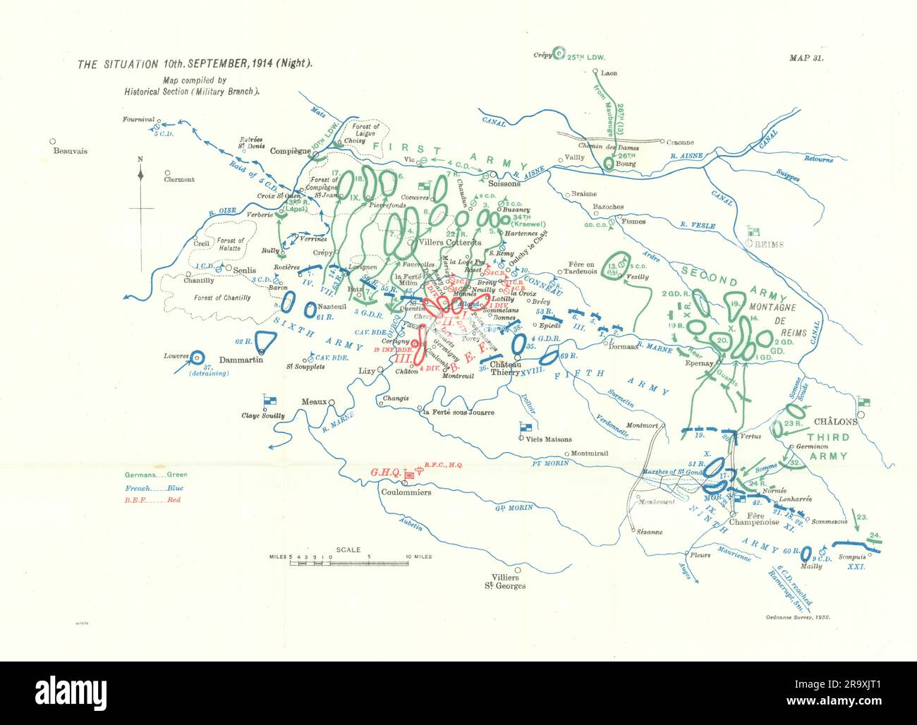 Battle of the Marne. Situation 10th September, 1914 night. WW1. 1933 old map Stock Photohttps://www.alamy.com/image-license-details/?v=1https://www.alamy.com/battle-of-the-marne-situation-10th-september-1914-night-ww1-1933-old-map-image556849217.html
RF2R9XJT1–Battle of the Marne. Situation 10th September, 1914 night. WW1. 1933 old map
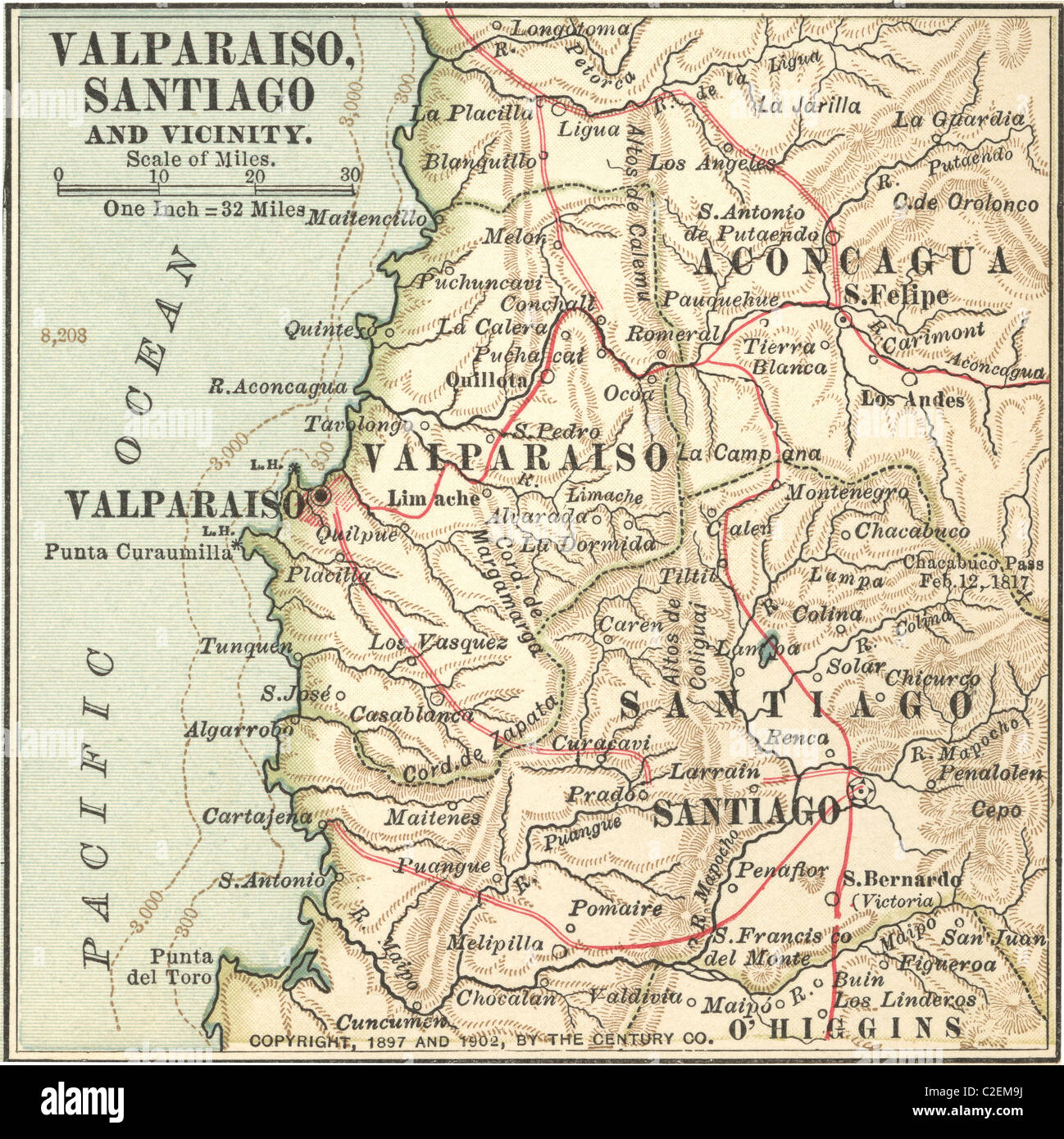 Map of Valparaiso and Santiago Stock Photohttps://www.alamy.com/image-license-details/?v=1https://www.alamy.com/stock-photo-map-of-valparaiso-and-santiago-35973326.html
RMC2EM9J–Map of Valparaiso and Santiago
 Battle of Neuve Chapelle. Attack 10th March 1915. Trenches 1928 old map Stock Photohttps://www.alamy.com/image-license-details/?v=1https://www.alamy.com/battle-of-neuve-chapelle-attack-10th-march-1915-trenches-1928-old-map-image556850192.html
RF2R9XM2T–Battle of Neuve Chapelle. Attack 10th March 1915. Trenches 1928 old map
 Maritime Atlas . English: Walters manuscript W.660 is an illuminated and illustrated maritime atlas, referred to as the Walters Deniz atlasi. It is an early Ottoman atlas, perhaps dating to the 10th century AH/AD 16th. The work contains 8 double-page charts executed on parchment. Four of the maps show the Mediterranean, Aegean, and Black seas. There is also a world map and a chart of the Indian Ocean. The various geographical names are written in black Nasta'liq script. A distinguishing feature of this atlas is the detailed approach to representing such features as city vignettes. . Hijri历10t Stock Photohttps://www.alamy.com/image-license-details/?v=1https://www.alamy.com/maritime-atlas-english-walters-manuscript-w660-is-an-illuminated-and-illustrated-maritime-atlas-referred-to-as-the-walters-deniz-atlasi-it-is-an-early-ottoman-atlas-perhaps-dating-to-the-10th-century-ahad-16th-the-work-contains-8-double-page-charts-executed-on-parchment-four-of-the-maps-show-the-mediterranean-aegean-and-black-seas-there-is-also-a-world-map-and-a-chart-of-the-indian-ocean-the-various-geographical-names-are-written-in-black-nastaliq-script-a-distinguishing-feature-of-this-atlas-is-the-detailed-approach-to-representing-such-features-as-city-vignettes-hijri10t-image185604639.html
RMMNY0H3–Maritime Atlas . English: Walters manuscript W.660 is an illuminated and illustrated maritime atlas, referred to as the Walters Deniz atlasi. It is an early Ottoman atlas, perhaps dating to the 10th century AH/AD 16th. The work contains 8 double-page charts executed on parchment. Four of the maps show the Mediterranean, Aegean, and Black seas. There is also a world map and a chart of the Indian Ocean. The various geographical names are written in black Nasta'liq script. A distinguishing feature of this atlas is the detailed approach to representing such features as city vignettes. . Hijri历10t
 Battle of Neuve Chapelle 10th March 1915. Nightfall situation. Trenches 1927 map Stock Photohttps://www.alamy.com/image-license-details/?v=1https://www.alamy.com/battle-of-neuve-chapelle-10th-march-1915-nightfall-situation-trenches-1927-map-image556849989.html
RF2R9XKRH–Battle of Neuve Chapelle 10th March 1915. Nightfall situation. Trenches 1927 map
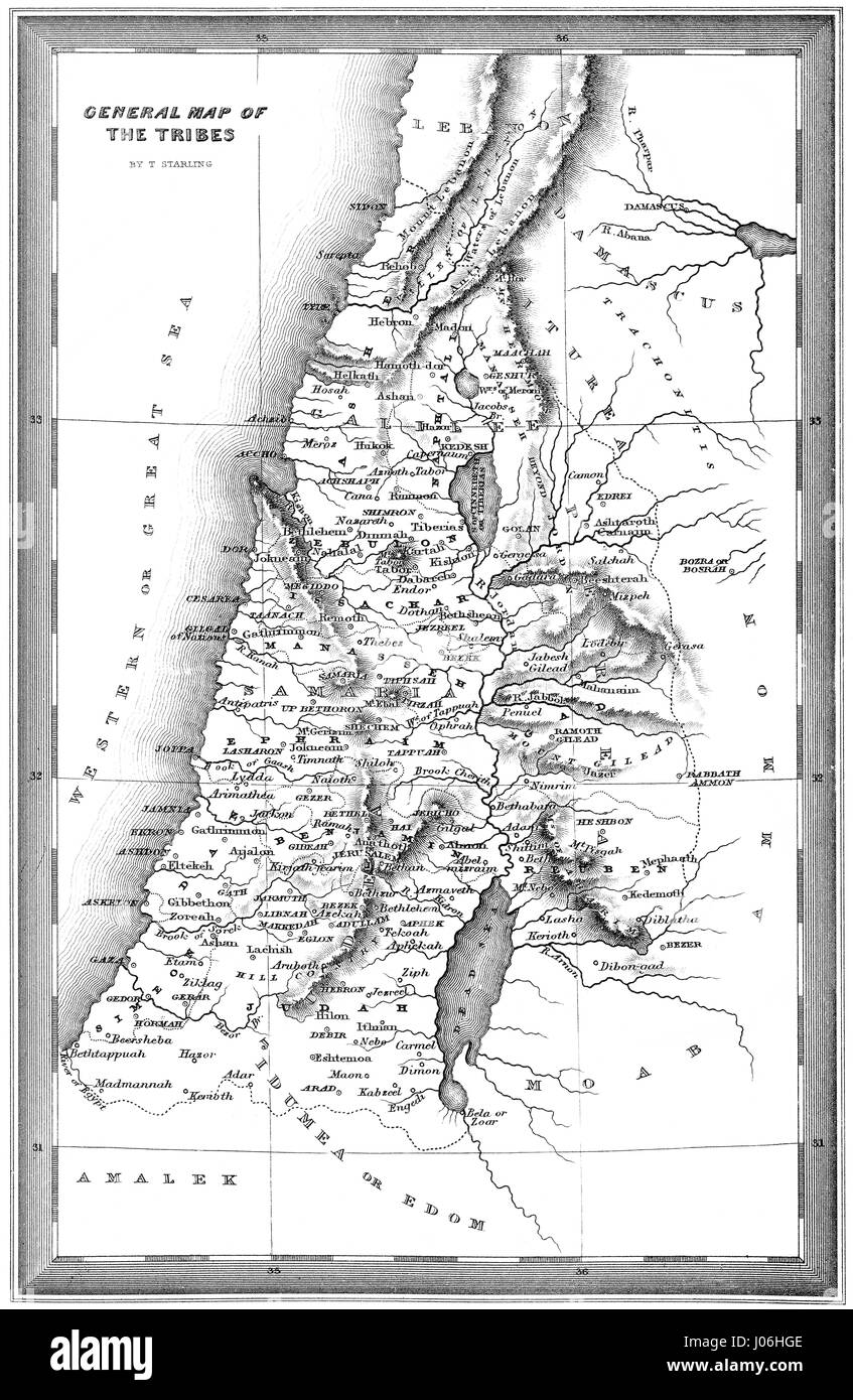 Historical map of the Tribes of Israel, 10th century BC Stock Photohttps://www.alamy.com/image-license-details/?v=1https://www.alamy.com/stock-photo-historical-map-of-the-tribes-of-israel-10th-century-bc-137828446.html
RMJ06HGE–Historical map of the Tribes of Israel, 10th century BC
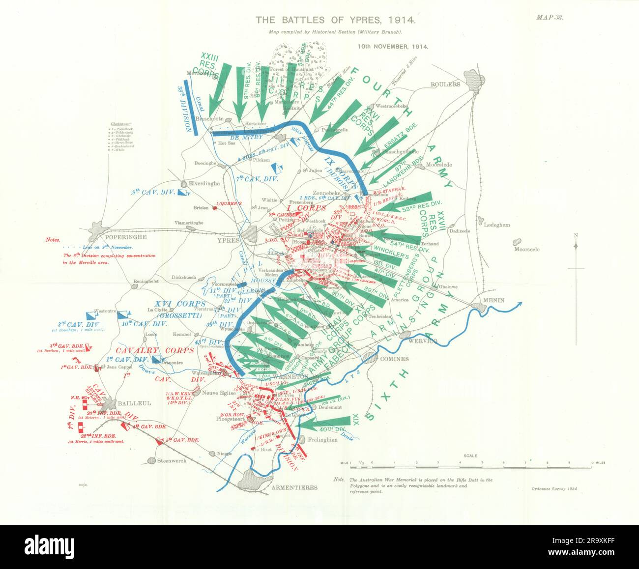 Battle of Ypres 1914. 10th November, 1914. First World War. 1933 old map Stock Photohttps://www.alamy.com/image-license-details/?v=1https://www.alamy.com/battle-of-ypres-1914-10th-november-1914-first-world-war-1933-old-map-image556849763.html
RF2R9XKFF–Battle of Ypres 1914. 10th November, 1914. First World War. 1933 old map
 Buenos Aires, Argentina. 9th Nov, 2016. Books are displayed at the 10th Ancient Book Fair in Buenos Aires, capital of Argentina, on Nov. 9, 2016. Books from the 15th century as well as engravings, maps, ancient photographs and posters are displayed at the fair. © Martin Zabala/Xinhua/Alamy Live News Stock Photohttps://www.alamy.com/image-license-details/?v=1https://www.alamy.com/stock-photo-buenos-aires-argentina-9th-nov-2016-books-are-displayed-at-the-10th-125500514.html
RMH85156–Buenos Aires, Argentina. 9th Nov, 2016. Books are displayed at the 10th Ancient Book Fair in Buenos Aires, capital of Argentina, on Nov. 9, 2016. Books from the 15th century as well as engravings, maps, ancient photographs and posters are displayed at the fair. © Martin Zabala/Xinhua/Alamy Live News
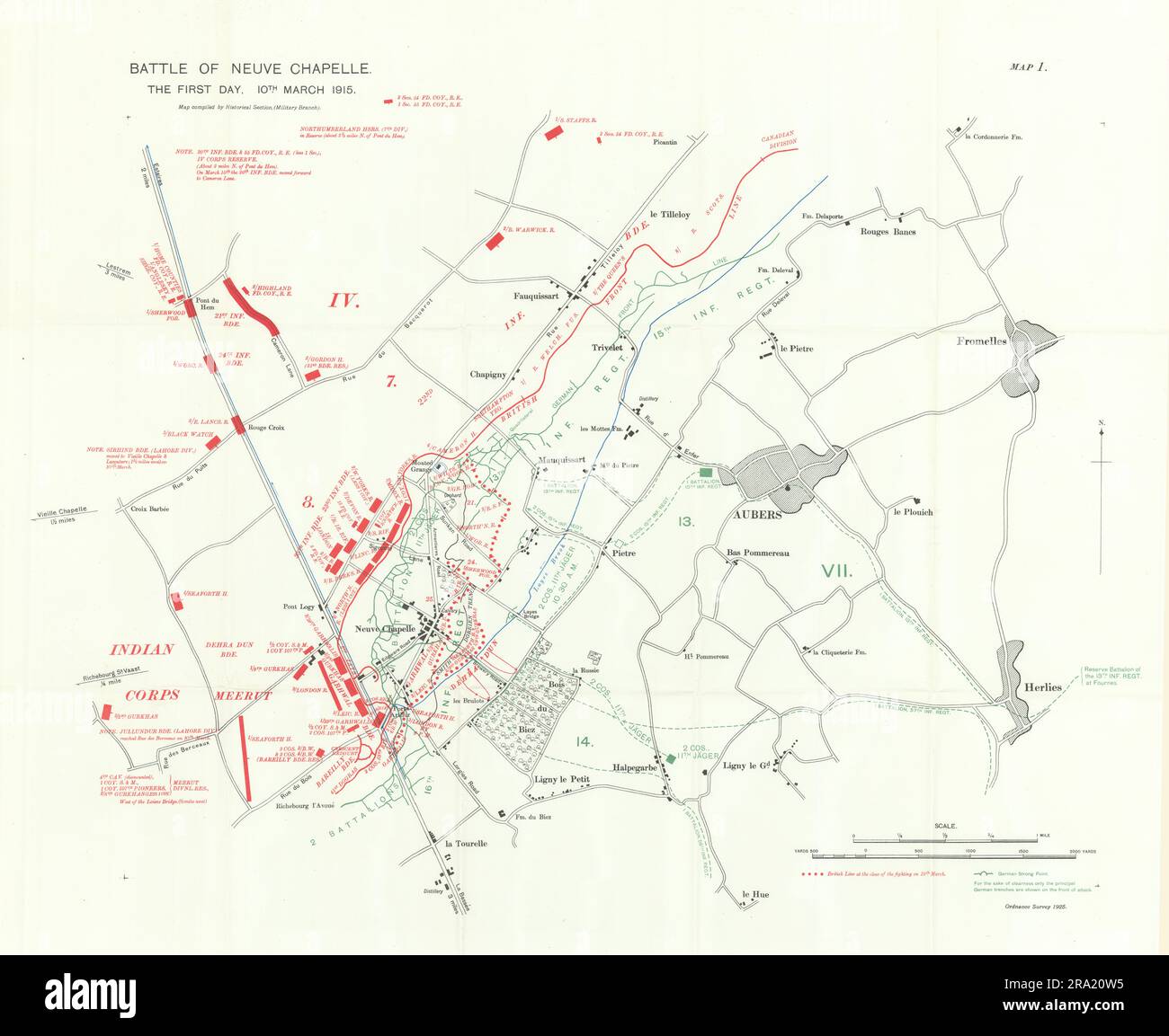 Battle of Neuve Chapelle. First Day. 10th March 1915. WW1. Trenches 1928 map Stock Photohttps://www.alamy.com/image-license-details/?v=1https://www.alamy.com/battle-of-neuve-chapelle-first-day-10th-march-1915-ww1-trenches-1928-map-image556922945.html
RF2RA20W5–Battle of Neuve Chapelle. First Day. 10th March 1915. WW1. Trenches 1928 map
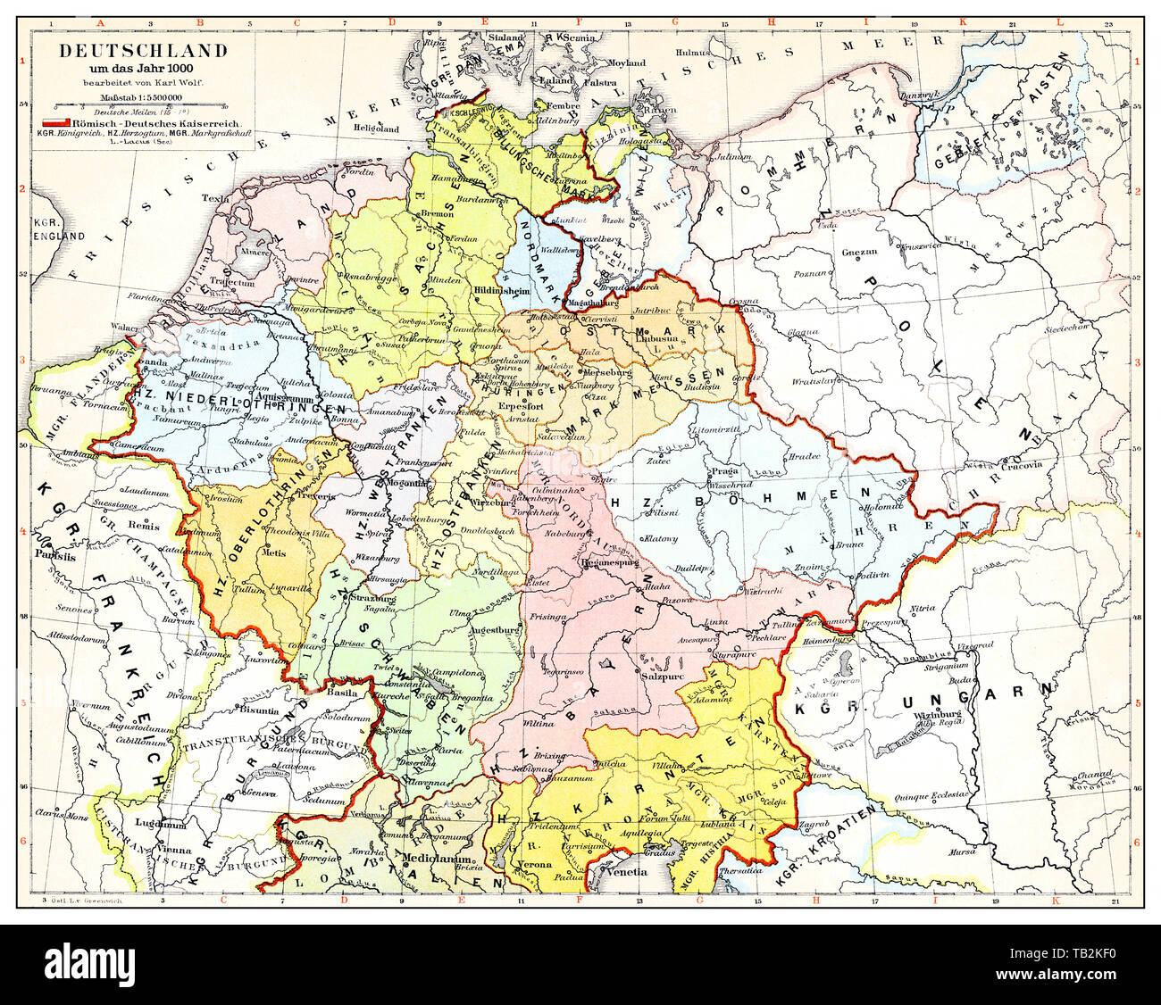 Historical map of Germany and Europe, Roman-German Empire in the 10th Century, Historische, zeichnerische Darstellung, Landkarte von Deutschland und Europa, Römisch-Deutsches Kaiserreich im 10. Jahrhundert, aus Meyers Konversations-Lexikon von 1890 Stock Photohttps://www.alamy.com/image-license-details/?v=1https://www.alamy.com/historical-map-of-germany-and-europe-roman-german-empire-in-the-10th-century-historische-zeichnerische-darstellung-landkarte-von-deutschland-und-europa-rmisch-deutsches-kaiserreich-im-10-jahrhundert-aus-meyers-konversations-lexikon-von-1890-image247765588.html
RMTB2KF0–Historical map of Germany and Europe, Roman-German Empire in the 10th Century, Historische, zeichnerische Darstellung, Landkarte von Deutschland und Europa, Römisch-Deutsches Kaiserreich im 10. Jahrhundert, aus Meyers Konversations-Lexikon von 1890
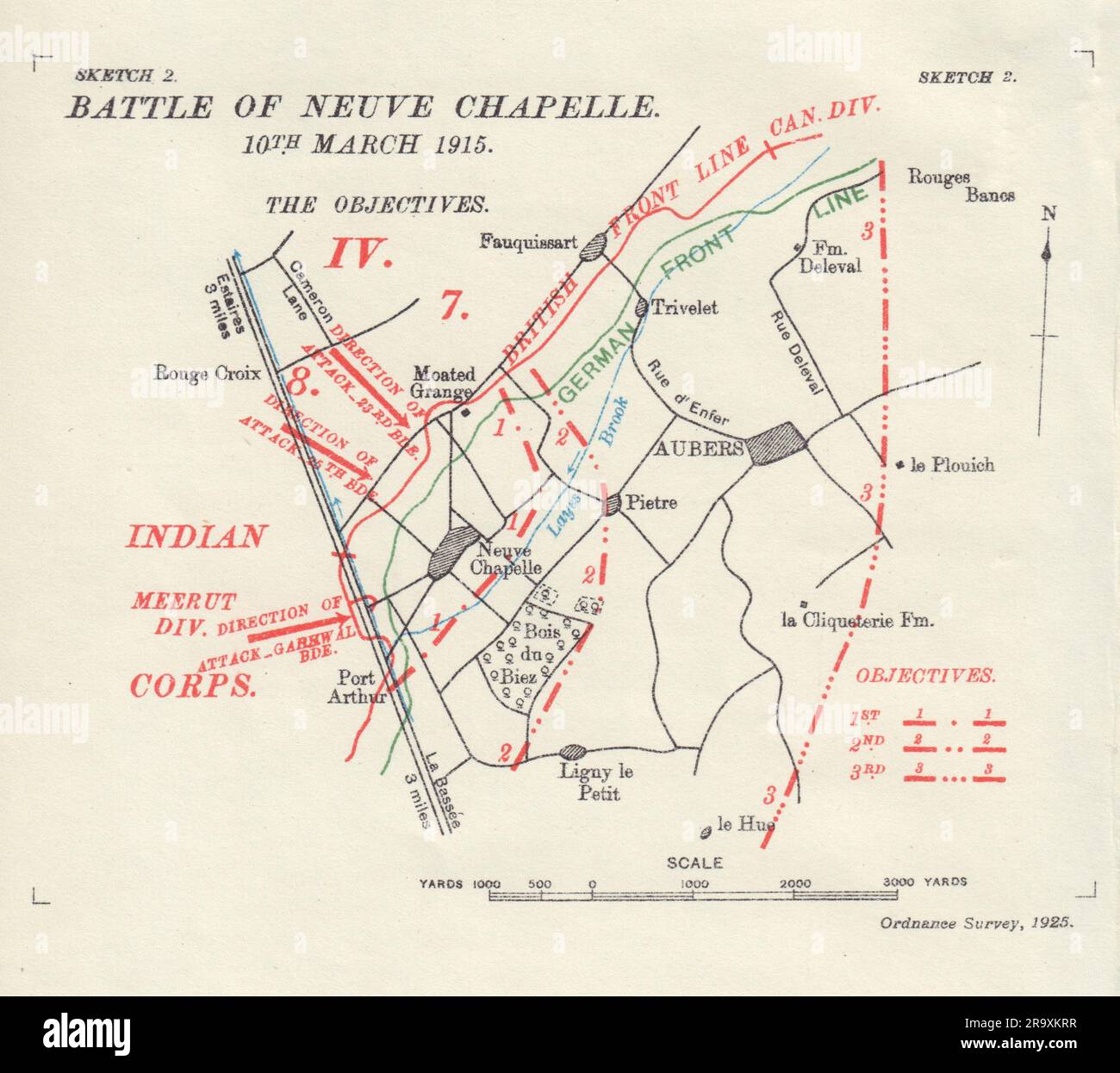 Battle of Neuve Chapelle 10th March 1915. First World War. 1927 old map Stock Photohttps://www.alamy.com/image-license-details/?v=1https://www.alamy.com/battle-of-neuve-chapelle-10th-march-1915-first-world-war-1927-old-map-image556849995.html
RF2R9XKRR–Battle of Neuve Chapelle 10th March 1915. First World War. 1927 old map
 (161109) -- BUENOS AIRES, Nov. 9, 2016 -- Books are displayed at the 10th Ancient Book Fair in Buenos Aires, capital of Argentina, on Nov. 9, 2016. Books from the 15th century as well as engravings, maps, ancient photographs and posters are displayed at the fair. ) ARGENTINA-BUENOS AIRES-ANCIENT BOOK FAIR MartinxZabala PUBLICATIONxNOTxINxCHN Buenos Aires Nov 9 2016 Books are displayed AT The 10th Ancient Book Fair in Buenos Aires Capital of Argentina ON Nov 9 2016 Books from The 15th Century As Well As engravings Maps Ancient Photographs and Posters are displayed AT The Fair Argentina Buenos Stock Photohttps://www.alamy.com/image-license-details/?v=1https://www.alamy.com/161109-buenos-aires-nov-9-2016-books-are-displayed-at-the-10th-ancient-book-fair-in-buenos-aires-capital-of-argentina-on-nov-9-2016-books-from-the-15th-century-as-well-as-engravings-maps-ancient-photographs-and-posters-are-displayed-at-the-fair-argentina-buenos-aires-ancient-book-fair-martinxzabala-publicationxnotxinxchn-buenos-aires-nov-9-2016-books-are-displayed-at-the-10th-ancient-book-fair-in-buenos-aires-capital-of-argentina-on-nov-9-2016-books-from-the-15th-century-as-well-as-engravings-maps-ancient-photographs-and-posters-are-displayed-at-the-fair-argentina-buenos-image564022604.html
RM2RNHCGC–(161109) -- BUENOS AIRES, Nov. 9, 2016 -- Books are displayed at the 10th Ancient Book Fair in Buenos Aires, capital of Argentina, on Nov. 9, 2016. Books from the 15th century as well as engravings, maps, ancient photographs and posters are displayed at the fair. ) ARGENTINA-BUENOS AIRES-ANCIENT BOOK FAIR MartinxZabala PUBLICATIONxNOTxINxCHN Buenos Aires Nov 9 2016 Books are displayed AT The 10th Ancient Book Fair in Buenos Aires Capital of Argentina ON Nov 9 2016 Books from The 15th Century As Well As engravings Maps Ancient Photographs and Posters are displayed AT The Fair Argentina Buenos
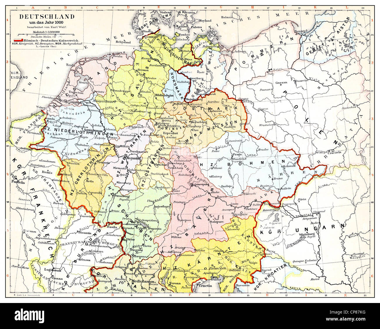 Historical map of Germany and Europe, Roman-German Empire in the 10th Century, Historische, zeichnerische Darstellung, Landkarte Stock Photohttps://www.alamy.com/image-license-details/?v=1https://www.alamy.com/stock-photo-historical-map-of-germany-and-europe-roman-german-empire-in-the-10th-48124820.html
RMCP87KG–Historical map of Germany and Europe, Roman-German Empire in the 10th Century, Historische, zeichnerische Darstellung, Landkarte
 at Vintage on the Dock, an event which returned this summer on 9th and 10th July to weave a little bit of vintage magic through the Albert Dock with a free, family weekend celebration of 20th Century vintage fashion icons. Stock Photohttps://www.alamy.com/image-license-details/?v=1https://www.alamy.com/stock-photo-at-vintage-on-the-dock-an-event-which-returned-this-summer-on-9th-111170741.html
RMGCT7BH–at Vintage on the Dock, an event which returned this summer on 9th and 10th July to weave a little bit of vintage magic through the Albert Dock with a free, family weekend celebration of 20th Century vintage fashion icons.
 A map of the whole continent of America, divided into North and South and West Indies with a copius table fully shewing the several possessions of each European Prince & State, as settled by the definitive treaty concluded at Paris Feby. 10th 1763 the clauses of which relative thereto are inserted. Stock Photohttps://www.alamy.com/image-license-details/?v=1https://www.alamy.com/a-map-of-the-whole-continent-of-america-divided-into-north-and-south-and-west-indies-with-a-copius-table-fully-shewing-the-several-possessions-of-each-european-prince-state-as-settled-by-the-definitive-treaty-concluded-at-paris-feby-10th-1763-the-clauses-of-which-relative-thereto-are-inserted-image223592623.html
RMPYNEJR–A map of the whole continent of America, divided into North and South and West Indies with a copius table fully shewing the several possessions of each European Prince & State, as settled by the definitive treaty concluded at Paris Feby. 10th 1763 the clauses of which relative thereto are inserted.
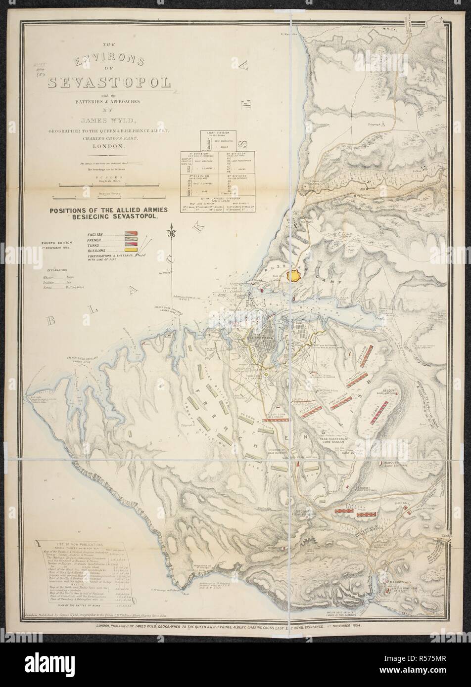 A map of the environs of Sevastopol. The Environs of Sevastopol with the Batteries and Approaches. Second edition, Oct. 10th, 1854. By J. Wyld. 4th Nov. 1854. Source: Maps 41155.(5.). Language: English. Stock Photohttps://www.alamy.com/image-license-details/?v=1https://www.alamy.com/a-map-of-the-environs-of-sevastopol-the-environs-of-sevastopol-with-the-batteries-and-approaches-second-edition-oct-10th-1854-by-j-wyld-4th-nov-1854-source-maps-411555-language-english-image226966231.html
RMR575MR–A map of the environs of Sevastopol. The Environs of Sevastopol with the Batteries and Approaches. Second edition, Oct. 10th, 1854. By J. Wyld. 4th Nov. 1854. Source: Maps 41155.(5.). Language: English.
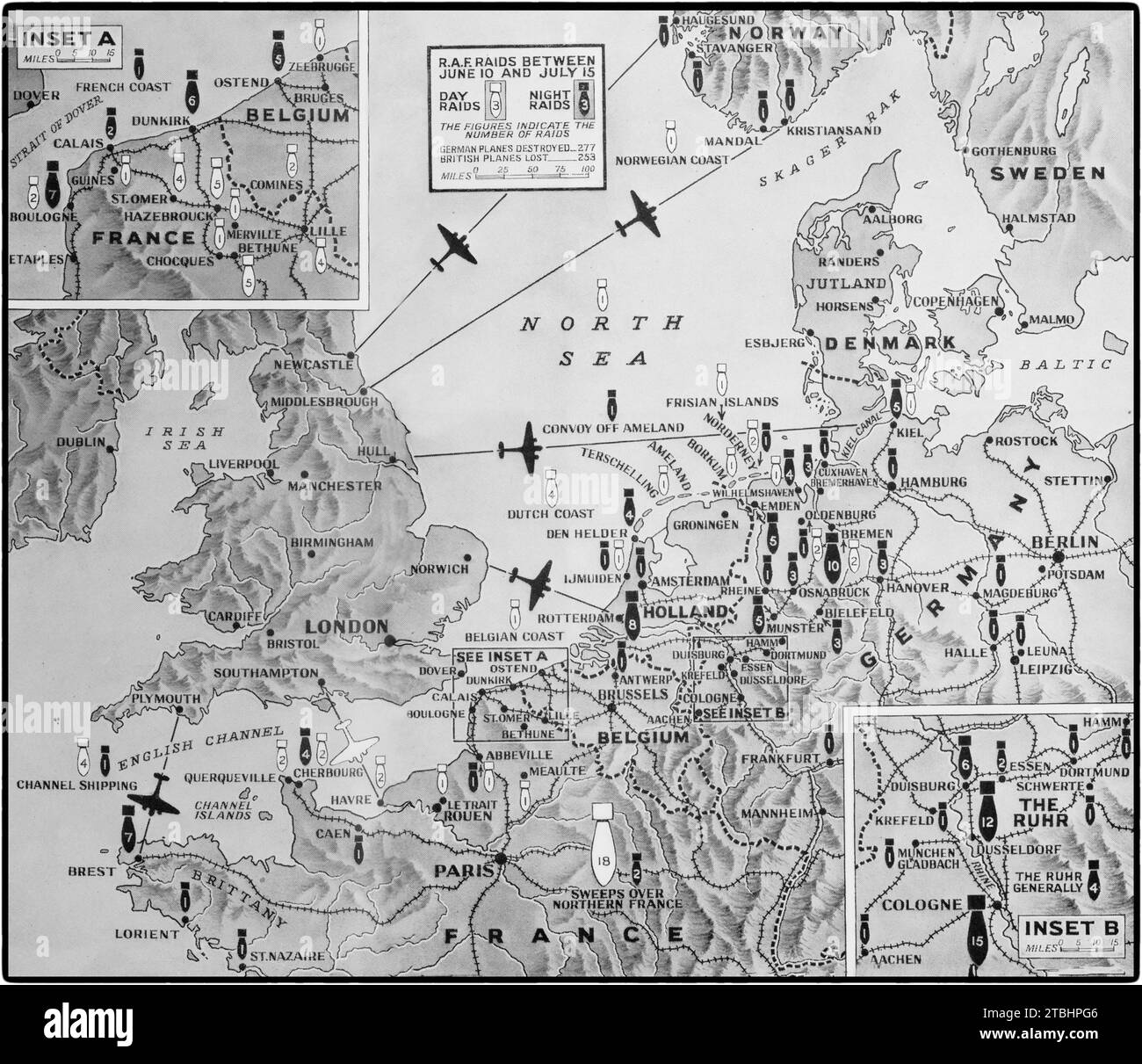 A map illustrating Britain's aerial offensive Second World War against Germany and occupied countries between 10th June and 15th July 1941. There were 76 daylight raids (white bomb symbol) and 154 night raids (black bomb symbol) with the number of attacks on each bomb with the map showing the main main targets. Stock Photohttps://www.alamy.com/image-license-details/?v=1https://www.alamy.com/a-map-illustrating-britains-aerial-offensive-second-world-war-against-germany-and-occupied-countries-between-10th-june-and-15th-july-1941-there-were-76-daylight-raids-white-bomb-symbol-and-154-night-raids-black-bomb-symbol-with-the-number-of-attacks-on-each-bomb-with-the-map-showing-the-main-main-targets-image575094246.html
RM2TBHPG6–A map illustrating Britain's aerial offensive Second World War against Germany and occupied countries between 10th June and 15th July 1941. There were 76 daylight raids (white bomb symbol) and 154 night raids (black bomb symbol) with the number of attacks on each bomb with the map showing the main main targets.
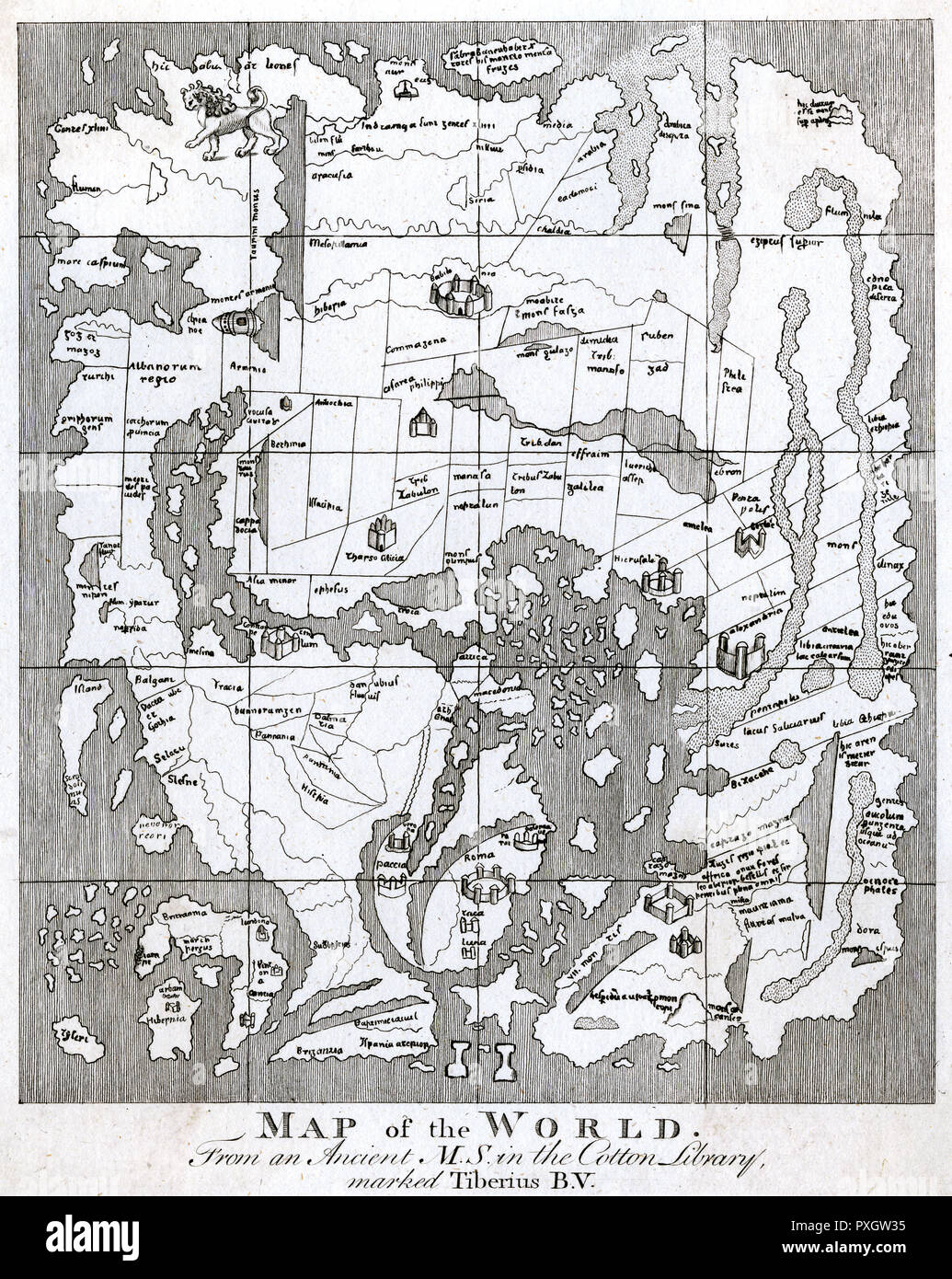 WORLD MAP/STRUTT 10C Stock Photohttps://www.alamy.com/image-license-details/?v=1https://www.alamy.com/world-mapstrutt-10c-image222876393.html
RMPXGW35–WORLD MAP/STRUTT 10C
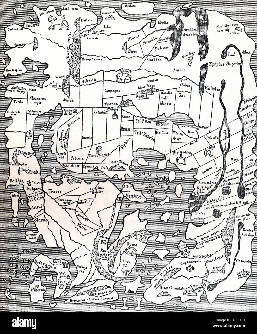 Anglo-Saxon map of the world, drawn about A.D. 990 Stock Photohttps://www.alamy.com/image-license-details/?v=1https://www.alamy.com/stock-photo-anglo-saxon-map-of-the-world-drawn-about-ad-990-10705228.html
RFA38FDH–Anglo-Saxon map of the world, drawn about A.D. 990
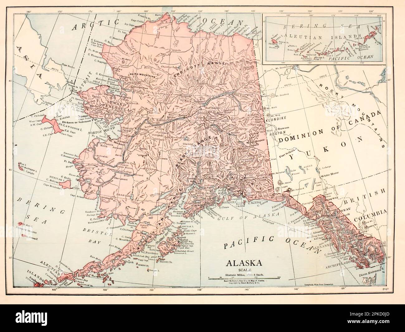 Map of the State of Alaska from the book ' Alaska, our beautiful northland of opportunity ' by Agnes Rush Burr, A Description of Its Rivers, Mountains, Glaciers, Volcanoes, and Other Beautiful and Unusual Scenic Features and of the Rare Delights It Offers Travellers, Big Game Hunters, Mountain Climbers, Explorers ; Its Towns and Pioneer Settlements ; The Government Railroad and Mount McKinley National Park; Its Rich Resources; Its Openings for New Business Enterprises ; Its Indians, Their Primitive Customs and Present Development ; Its Romantic Early History When Russian, Spanish, and Other N Stock Photohttps://www.alamy.com/image-license-details/?v=1https://www.alamy.com/map-of-the-state-of-alaska-from-the-book-alaska-our-beautiful-northland-of-opportunity-by-agnes-rush-burr-a-description-of-its-rivers-mountains-glaciers-volcanoes-and-other-beautiful-and-unusual-scenic-features-and-of-the-rare-delights-it-offers-travellers-big-game-hunters-mountain-climbers-explorers-its-towns-and-pioneer-settlements-the-government-railroad-and-mount-mckinley-national-park-its-rich-resources-its-openings-for-new-business-enterprises-its-indians-their-primitive-customs-and-present-development-its-romantic-early-history-when-russian-spanish-and-other-n-image545485765.html
RF2PKD0JD–Map of the State of Alaska from the book ' Alaska, our beautiful northland of opportunity ' by Agnes Rush Burr, A Description of Its Rivers, Mountains, Glaciers, Volcanoes, and Other Beautiful and Unusual Scenic Features and of the Rare Delights It Offers Travellers, Big Game Hunters, Mountain Climbers, Explorers ; Its Towns and Pioneer Settlements ; The Government Railroad and Mount McKinley National Park; Its Rich Resources; Its Openings for New Business Enterprises ; Its Indians, Their Primitive Customs and Present Development ; Its Romantic Early History When Russian, Spanish, and Other N
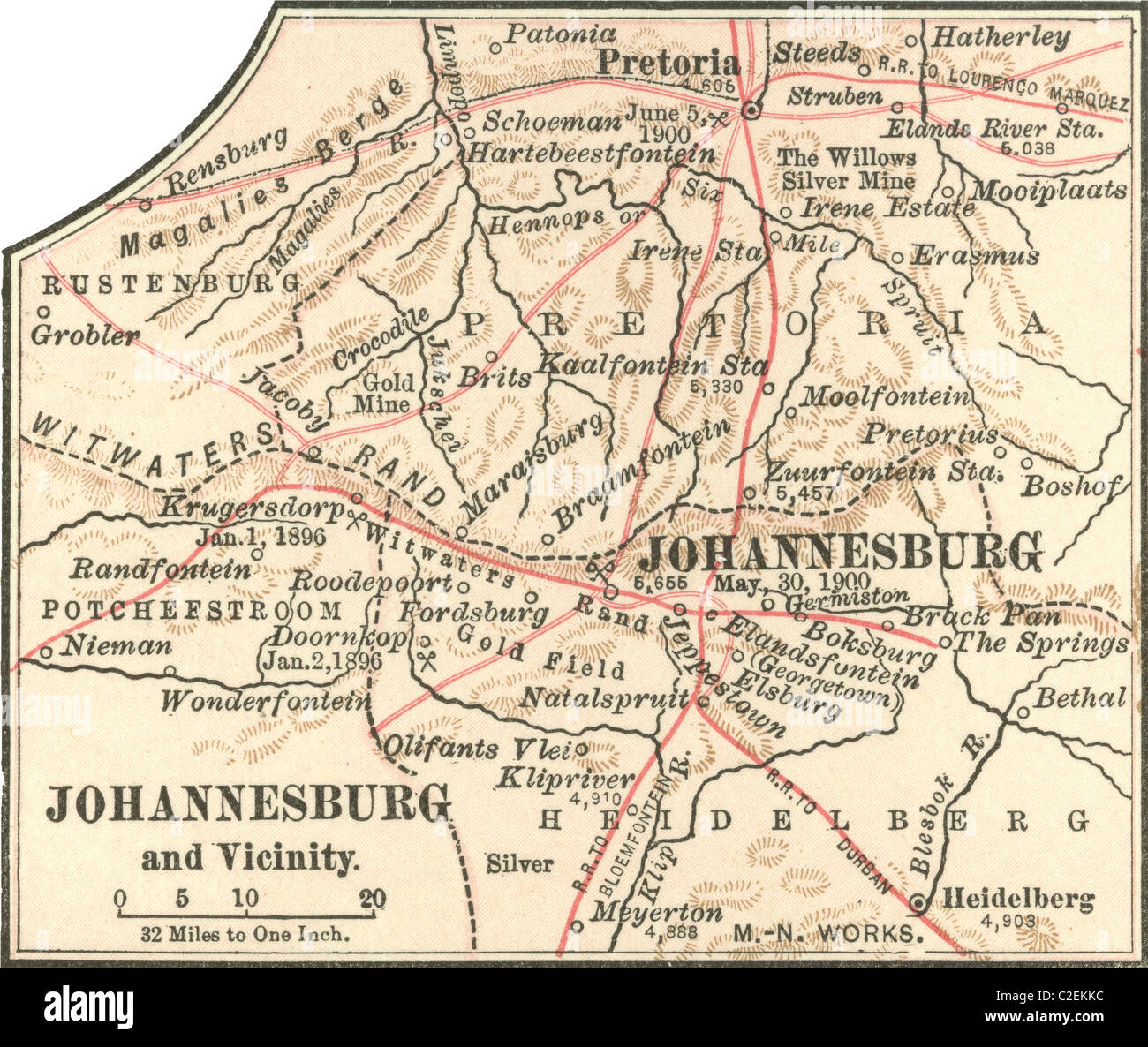 Map of Johannesburg Stock Photohttps://www.alamy.com/image-license-details/?v=1https://www.alamy.com/stock-photo-map-of-johannesburg-35972816.html
RMC2EKKC–Map of Johannesburg
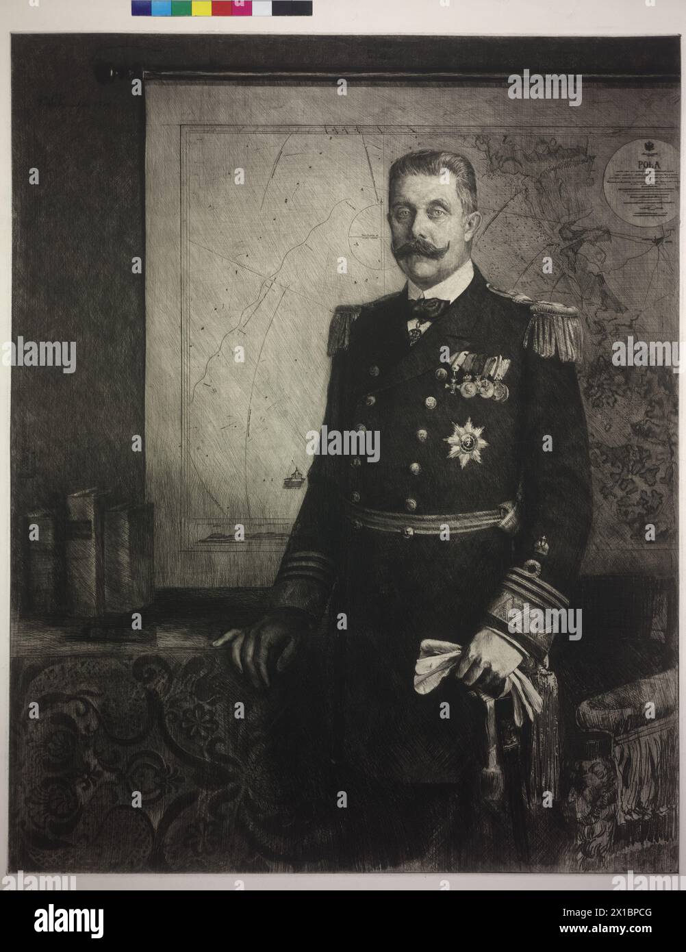 Archduke Franz Ferdinand in uniform of a red admiral of the Imperial and Royal navy, before map of Pola standing etching by Ferdinand Schmutzer, in the board signed and dated 'F. Schmutzer 1914' compare there set up photo spread von Ferdinand Schmutzer (LSCH 0407-D, LSCH 0410-D, LSCH 0409-D), - 19140101 PD9365 - Rechteinfo: Rights Managed (RM) Stock Photohttps://www.alamy.com/image-license-details/?v=1https://www.alamy.com/archduke-franz-ferdinand-in-uniform-of-a-red-admiral-of-the-imperial-and-royal-navy-before-map-of-pola-standing-etching-by-ferdinand-schmutzer-in-the-board-signed-and-dated-f-schmutzer-1914-compare-there-set-up-photo-spread-von-ferdinand-schmutzer-lsch-0407-d-lsch-0410-d-lsch-0409-d-19140101-pd9365-rechteinfo-rights-managed-rm-image603236608.html
RM2X1BPCG–Archduke Franz Ferdinand in uniform of a red admiral of the Imperial and Royal navy, before map of Pola standing etching by Ferdinand Schmutzer, in the board signed and dated 'F. Schmutzer 1914' compare there set up photo spread von Ferdinand Schmutzer (LSCH 0407-D, LSCH 0410-D, LSCH 0409-D), - 19140101 PD9365 - Rechteinfo: Rights Managed (RM)
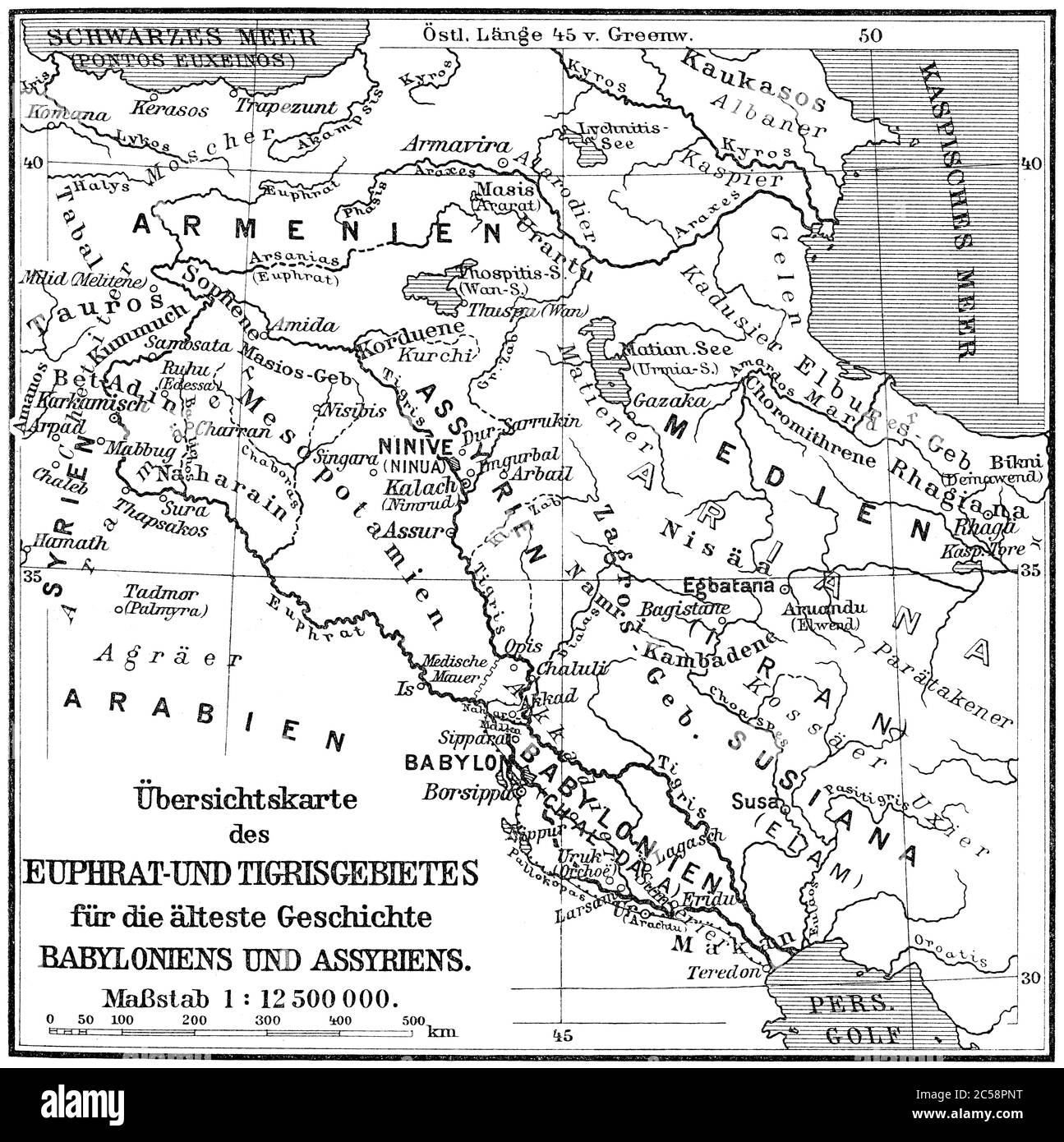 Map of the Assyrian Empire Stock Photohttps://www.alamy.com/image-license-details/?v=1https://www.alamy.com/map-of-the-assyrian-empire-image364684484.html
RM2C58PNT–Map of the Assyrian Empire
 Image taken from page 471 of 'Geschiedenis der zeventien Nederlanden' Image taken from page 471 of 'Geschiedenis der zeventien Stock Photohttps://www.alamy.com/image-license-details/?v=1https://www.alamy.com/stock-photo-image-taken-from-page-471-of-geschiedenis-der-zeventien-nederlanden-132338709.html
RMHK8FAD–Image taken from page 471 of 'Geschiedenis der zeventien Nederlanden' Image taken from page 471 of 'Geschiedenis der zeventien
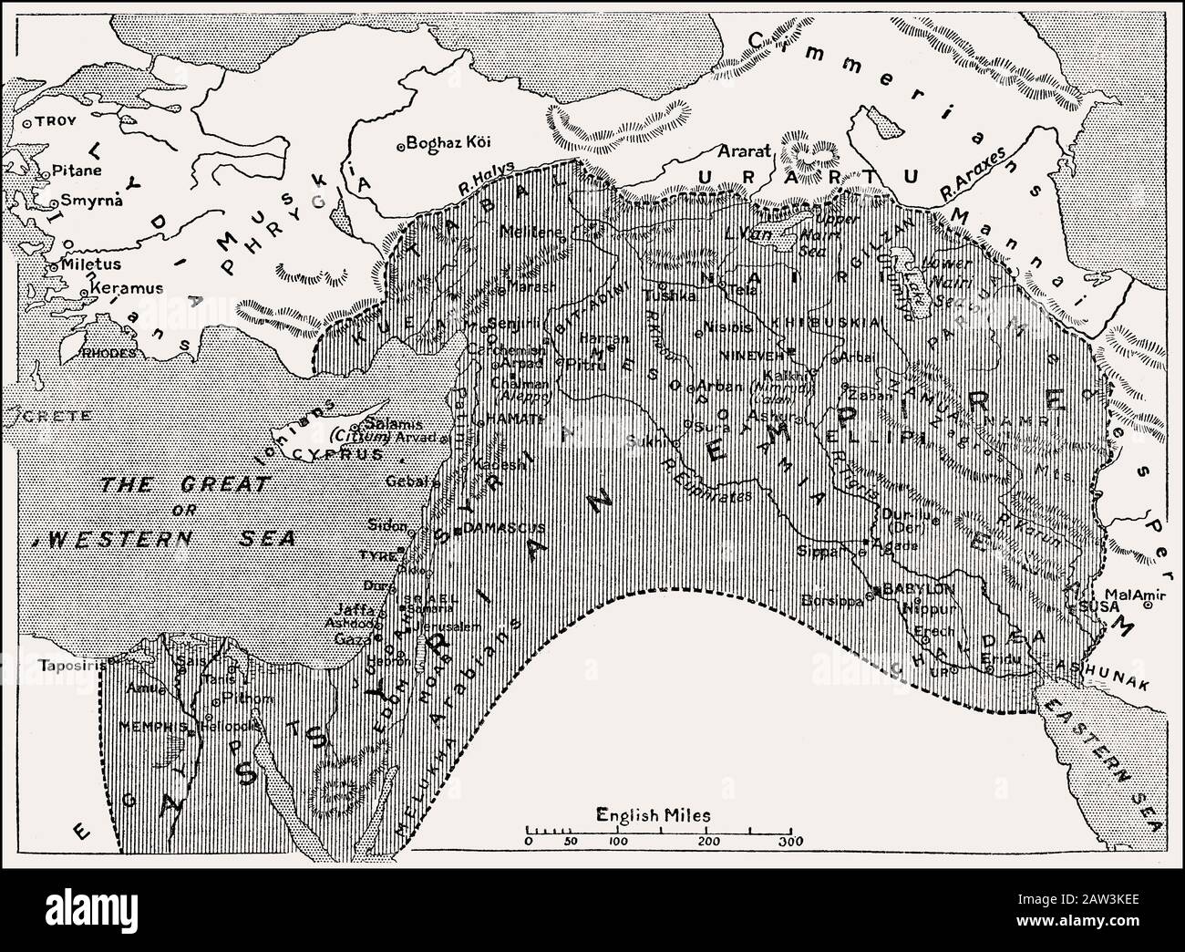 Map of the Assyrian Empire, 1000 BC until 700 BC Stock Photohttps://www.alamy.com/image-license-details/?v=1https://www.alamy.com/map-of-the-assyrian-empire-1000-bc-until-700-bc-image342444550.html
RM2AW3KEE–Map of the Assyrian Empire, 1000 BC until 700 BC
 Buenos Aires, Argentina. 9th Nov, 2016. A man looks at a book displayed at the 10th Ancient Book Fair in Buenos Aires, capital of Argentina, on Nov. 9, 2016. Books from the 15th century as well as engravings, maps, ancient photographs and posters are displayed at the fair. © Martin Zabala/Xinhua/Alamy Live News Stock Photohttps://www.alamy.com/image-license-details/?v=1https://www.alamy.com/stock-photo-buenos-aires-argentina-9th-nov-2016-a-man-looks-at-a-book-displayed-125500513.html
RMH85155–Buenos Aires, Argentina. 9th Nov, 2016. A man looks at a book displayed at the 10th Ancient Book Fair in Buenos Aires, capital of Argentina, on Nov. 9, 2016. Books from the 15th century as well as engravings, maps, ancient photographs and posters are displayed at the fair. © Martin Zabala/Xinhua/Alamy Live News
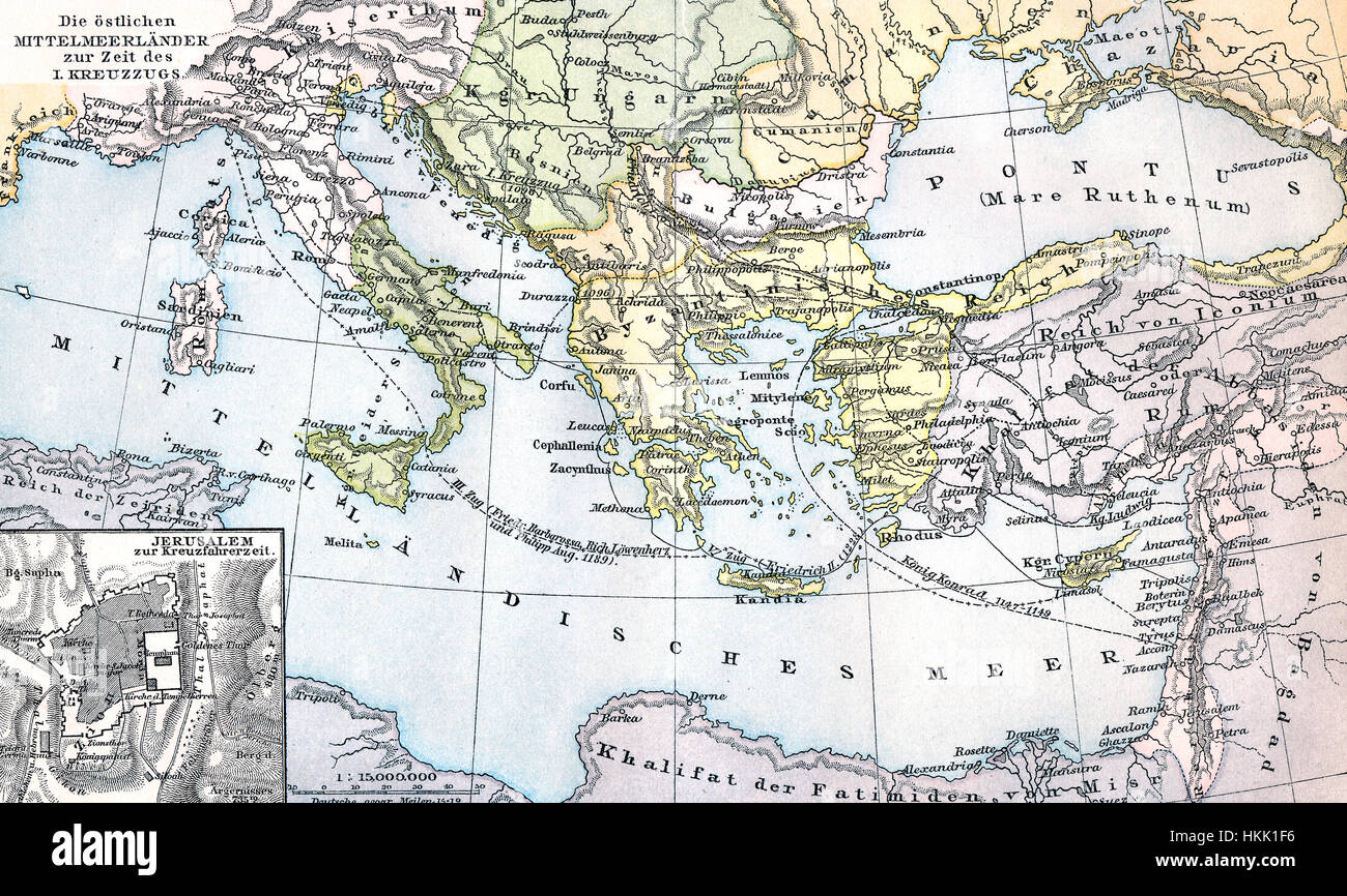 Historical map of the eastern Mediterranean countries during the first Crusade period Stock Photohttps://www.alamy.com/image-license-details/?v=1https://www.alamy.com/stock-photo-historical-map-of-the-eastern-mediterranean-countries-during-the-first-132569338.html
RMHKK1F6–Historical map of the eastern Mediterranean countries during the first Crusade period
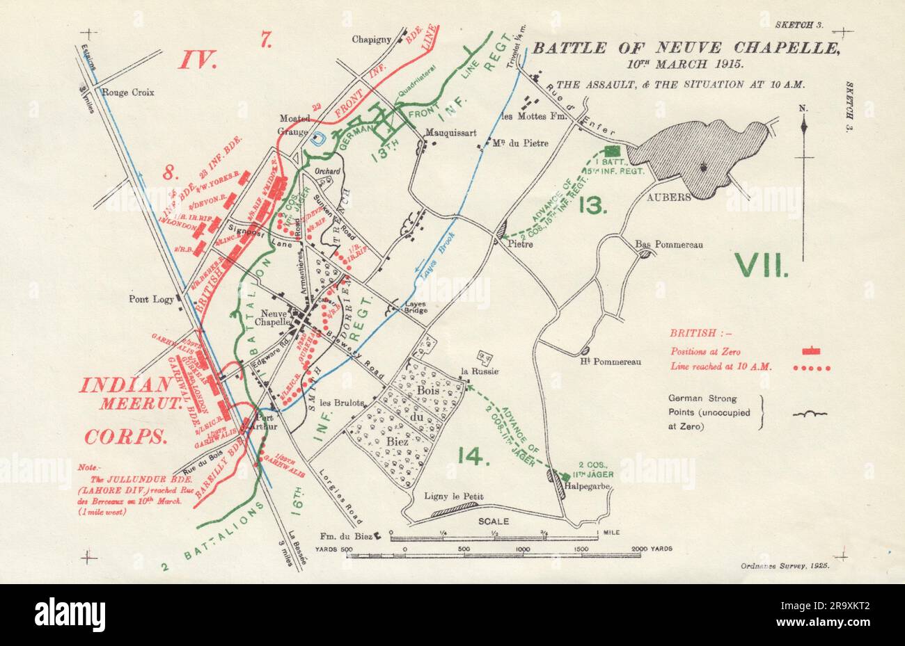 Battle of Neuve Chapelle 10th March 1915. Assault & 10am. Trenches 1927 map Stock Photohttps://www.alamy.com/image-license-details/?v=1https://www.alamy.com/battle-of-neuve-chapelle-10th-march-1915-assault-10am-trenches-1927-map-image556850002.html
RF2R9XKT2–Battle of Neuve Chapelle 10th March 1915. Assault & 10am. Trenches 1927 map
 (161109) -- BUENOS AIRES, Nov. 9, 2016 -- A man looks at a book displayed at the 10th Ancient Book Fair in Buenos Aires, capital of Argentina, on Nov. 9, 2016. Books from the 15th century as well as engravings, maps, ancient photographs and posters are displayed at the fair. ) ARGENTINA-BUENOS AIRES-ANCIENT BOOK FAIR MartinxZabala PUBLICATIONxNOTxINxCHN Buenos Aires Nov 9 2016 a Man Looks AT a Book displayed AT The 10th Ancient Book Fair in Buenos Aires Capital of Argentina ON Nov 9 2016 Books from The 15th Century As Well As engravings Maps Ancient Photographs and Posters are displayed AT T Stock Photohttps://www.alamy.com/image-license-details/?v=1https://www.alamy.com/161109-buenos-aires-nov-9-2016-a-man-looks-at-a-book-displayed-at-the-10th-ancient-book-fair-in-buenos-aires-capital-of-argentina-on-nov-9-2016-books-from-the-15th-century-as-well-as-engravings-maps-ancient-photographs-and-posters-are-displayed-at-the-fair-argentina-buenos-aires-ancient-book-fair-martinxzabala-publicationxnotxinxchn-buenos-aires-nov-9-2016-a-man-looks-at-a-book-displayed-at-the-10th-ancient-book-fair-in-buenos-aires-capital-of-argentina-on-nov-9-2016-books-from-the-15th-century-as-well-as-engravings-maps-ancient-photographs-and-posters-are-displayed-at-t-image564022568.html
RM2RNHCF4–(161109) -- BUENOS AIRES, Nov. 9, 2016 -- A man looks at a book displayed at the 10th Ancient Book Fair in Buenos Aires, capital of Argentina, on Nov. 9, 2016. Books from the 15th century as well as engravings, maps, ancient photographs and posters are displayed at the fair. ) ARGENTINA-BUENOS AIRES-ANCIENT BOOK FAIR MartinxZabala PUBLICATIONxNOTxINxCHN Buenos Aires Nov 9 2016 a Man Looks AT a Book displayed AT The 10th Ancient Book Fair in Buenos Aires Capital of Argentina ON Nov 9 2016 Books from The 15th Century As Well As engravings Maps Ancient Photographs and Posters are displayed AT T
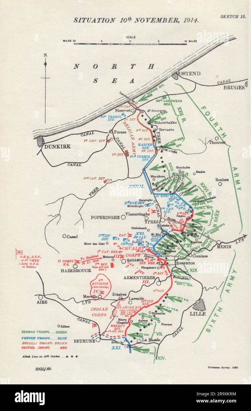 Battle of Ypres, Situation 10th November, 1914. First World War. 1925 old map Stock Photohttps://www.alamy.com/image-license-details/?v=1https://www.alamy.com/battle-of-ypres-situation-10th-november-1914-first-world-war-1925-old-map-image556849992.html
RF2R9XKRM–Battle of Ypres, Situation 10th November, 1914. First World War. 1925 old map
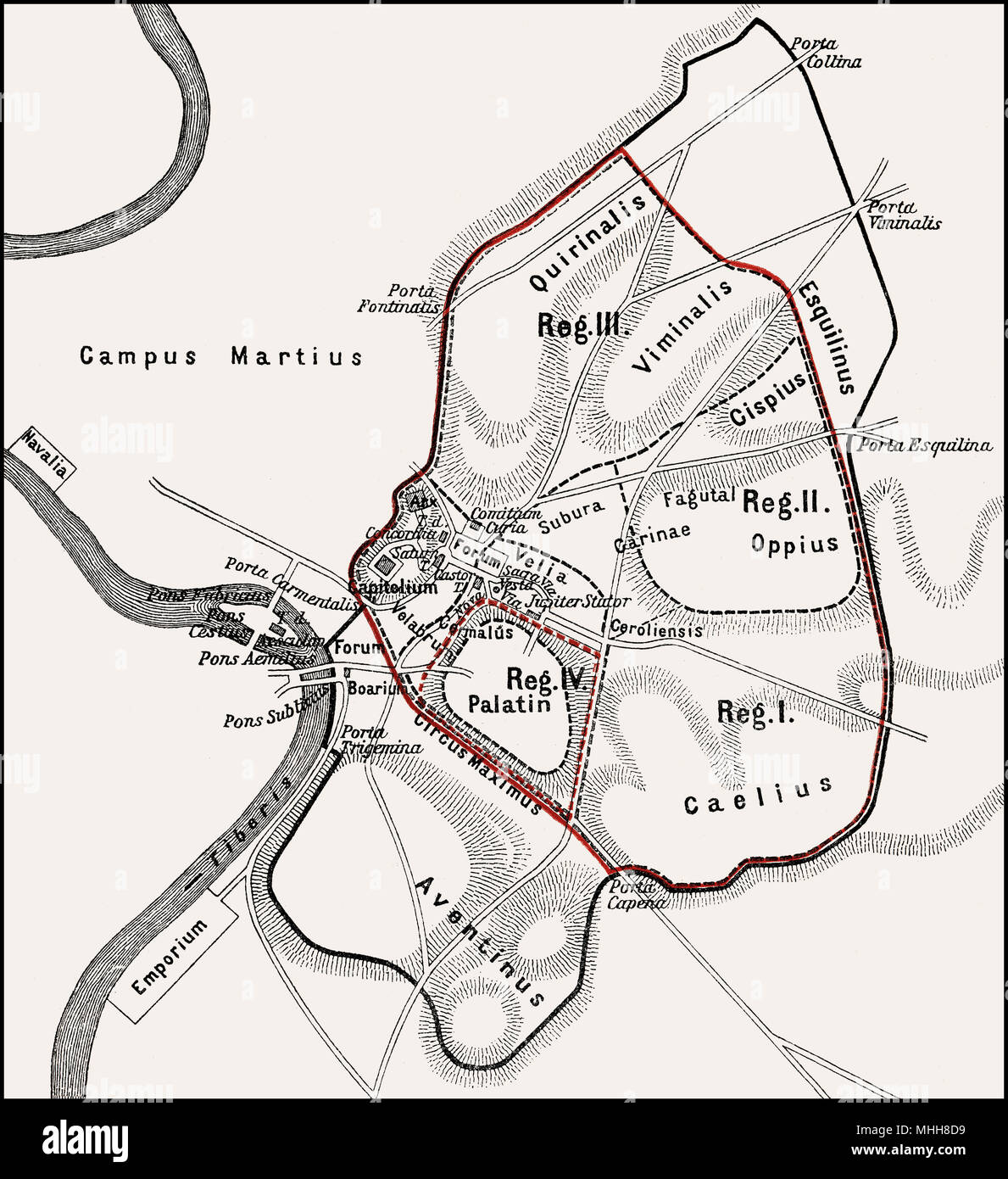 Roma quadrata, the original pomerium of the ancient city of Rome, Stock Photohttps://www.alamy.com/image-license-details/?v=1https://www.alamy.com/roma-quadrata-the-original-pomerium-of-the-ancient-city-of-rome-image182932661.html
RMMHH8D9–Roma quadrata, the original pomerium of the ancient city of Rome,
![A figure on a bridge; a river below; houses in the middle ground; trees behind . VIEW near NEWPORT, ISLE OF WIGHT. London : Pubd Decr 10th 1796 by F. Jukes Howland Street., [December 10 1796]. Aquatint and etching with hand-colouring. Source: Maps K.Top.15.6.b. Language: English. Stock Photo A figure on a bridge; a river below; houses in the middle ground; trees behind . VIEW near NEWPORT, ISLE OF WIGHT. London : Pubd Decr 10th 1796 by F. Jukes Howland Street., [December 10 1796]. Aquatint and etching with hand-colouring. Source: Maps K.Top.15.6.b. Language: English. Stock Photo](https://c8.alamy.com/comp/R5E76W/a-figure-on-a-bridge-a-river-below-houses-in-the-middle-ground-trees-behind-view-near-newport-isle-of-wight-london-pubd-decr-10th-1796-by-f-jukes-howland-street-december-10-1796-aquatint-and-etching-with-hand-colouring-source-maps-ktop156b-language-english-R5E76W.jpg) A figure on a bridge; a river below; houses in the middle ground; trees behind . VIEW near NEWPORT, ISLE OF WIGHT. London : Pubd Decr 10th 1796 by F. Jukes Howland Street., [December 10 1796]. Aquatint and etching with hand-colouring. Source: Maps K.Top.15.6.b. Language: English. Stock Photohttps://www.alamy.com/image-license-details/?v=1https://www.alamy.com/a-figure-on-a-bridge-a-river-below-houses-in-the-middle-ground-trees-behind-view-near-newport-isle-of-wight-london-pubd-decr-10th-1796-by-f-jukes-howland-street-december-10-1796-aquatint-and-etching-with-hand-colouring-source-maps-ktop156b-language-english-image227121073.html
A figure on a bridge; a river below; houses in the middle ground; trees behind . VIEW near NEWPORT, ISLE OF WIGHT. London : Pubd Decr 10th 1796 by F. Jukes Howland Street., [December 10 1796]. Aquatint and etching with hand-colouring. Source: Maps K.Top.15.6.b. Language: English. Stock Photohttps://www.alamy.com/image-license-details/?v=1https://www.alamy.com/a-figure-on-a-bridge-a-river-below-houses-in-the-middle-ground-trees-behind-view-near-newport-isle-of-wight-london-pubd-decr-10th-1796-by-f-jukes-howland-street-december-10-1796-aquatint-and-etching-with-hand-colouring-source-maps-ktop156b-language-english-image227121073.htmlRMR5E76W–A figure on a bridge; a river below; houses in the middle ground; trees behind . VIEW near NEWPORT, ISLE OF WIGHT. London : Pubd Decr 10th 1796 by F. Jukes Howland Street., [December 10 1796]. Aquatint and etching with hand-colouring. Source: Maps K.Top.15.6.b. Language: English.
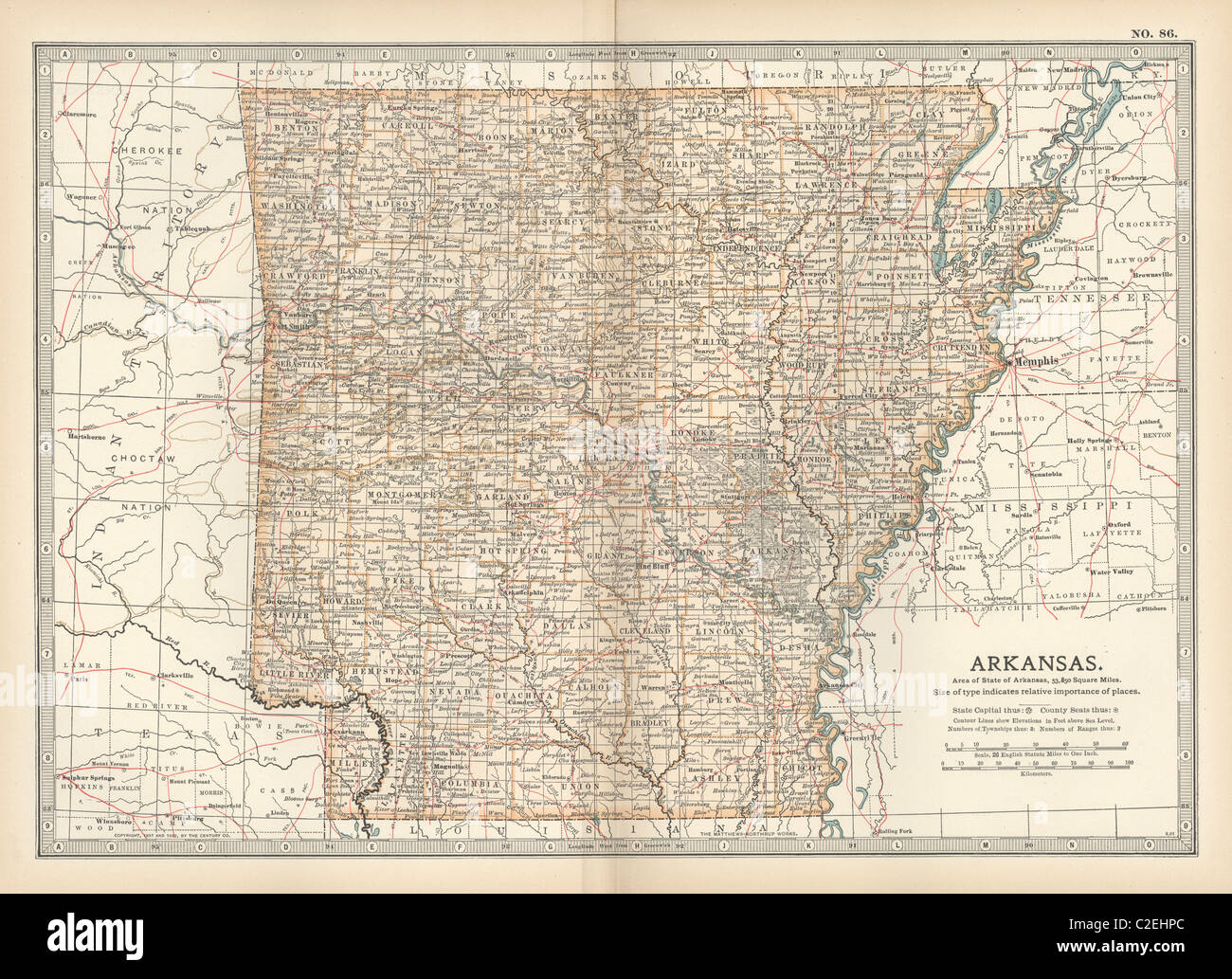 Map of Arkansas Stock Photohttps://www.alamy.com/image-license-details/?v=1https://www.alamy.com/stock-photo-map-of-arkansas-35971332.html
RMC2EHPC–Map of Arkansas
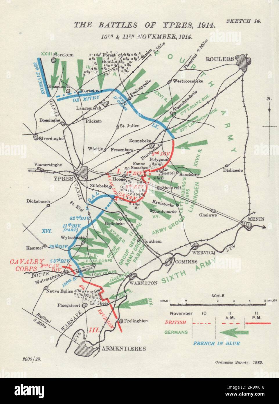 Battle of Ypres, 10th & 11th November, 1914. First World War. 1925 old map Stock Photohttps://www.alamy.com/image-license-details/?v=1https://www.alamy.com/battle-of-ypres-10th-11th-november-1914-first-world-war-1925-old-map-image556850008.html
RF2R9XKT8–Battle of Ypres, 10th & 11th November, 1914. First World War. 1925 old map
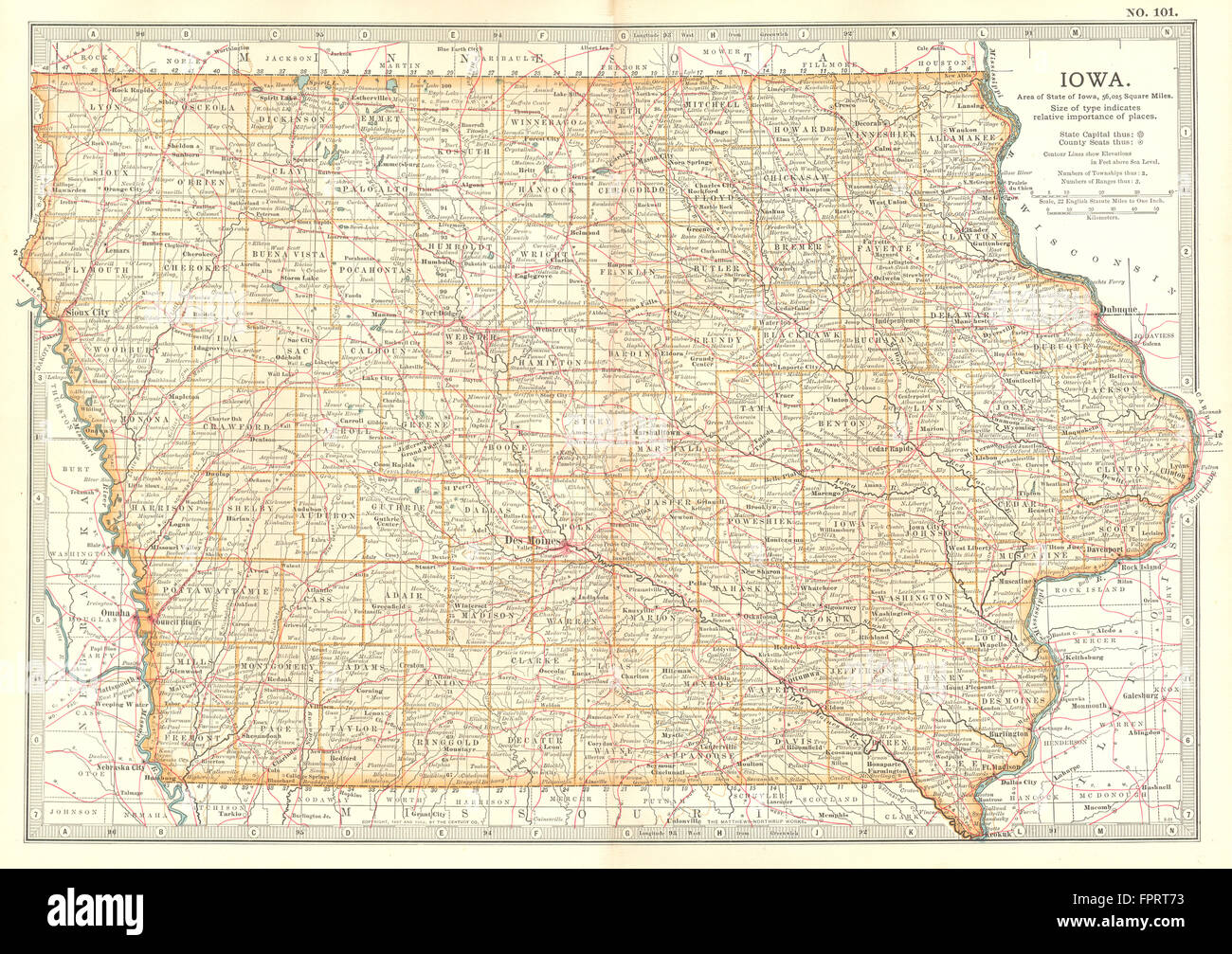 IOWA: State map showing counties. Britannica 10th edition., 1903 Stock Photohttps://www.alamy.com/image-license-details/?v=1https://www.alamy.com/stock-photo-iowa-state-map-showing-counties-britannica-10th-edition-1903-100098183.html
RFFPRT73–IOWA: State map showing counties. Britannica 10th edition., 1903
![Figures by country buildings on the left; a muddy path to the right; a horse and rider on the path; trees in the scene. View at Great Washbourn, Gloucestershire. London : Published May 10th 1802 by F. Jukes Howland Street., [May 10 1802]. Source: Maps K.Top.13.99.b. Language: English. Author: Bluck. Stock Photo Figures by country buildings on the left; a muddy path to the right; a horse and rider on the path; trees in the scene. View at Great Washbourn, Gloucestershire. London : Published May 10th 1802 by F. Jukes Howland Street., [May 10 1802]. Source: Maps K.Top.13.99.b. Language: English. Author: Bluck. Stock Photo](https://c8.alamy.com/comp/R5DT1F/figures-by-country-buildings-on-the-left-a-muddy-path-to-the-right-a-horse-and-rider-on-the-path-trees-in-the-scene-view-at-great-washbourn-gloucestershire-london-published-may-10th-1802-by-f-jukes-howland-street-may-10-1802-source-maps-ktop1399b-language-english-author-bluck-R5DT1F.jpg) Figures by country buildings on the left; a muddy path to the right; a horse and rider on the path; trees in the scene. View at Great Washbourn, Gloucestershire. London : Published May 10th 1802 by F. Jukes Howland Street., [May 10 1802]. Source: Maps K.Top.13.99.b. Language: English. Author: Bluck. Stock Photohttps://www.alamy.com/image-license-details/?v=1https://www.alamy.com/figures-by-country-buildings-on-the-left-a-muddy-path-to-the-right-a-horse-and-rider-on-the-path-trees-in-the-scene-view-at-great-washbourn-gloucestershire-london-published-may-10th-1802-by-f-jukes-howland-street-may-10-1802-source-maps-ktop1399b-language-english-author-bluck-image227112299.html
Figures by country buildings on the left; a muddy path to the right; a horse and rider on the path; trees in the scene. View at Great Washbourn, Gloucestershire. London : Published May 10th 1802 by F. Jukes Howland Street., [May 10 1802]. Source: Maps K.Top.13.99.b. Language: English. Author: Bluck. Stock Photohttps://www.alamy.com/image-license-details/?v=1https://www.alamy.com/figures-by-country-buildings-on-the-left-a-muddy-path-to-the-right-a-horse-and-rider-on-the-path-trees-in-the-scene-view-at-great-washbourn-gloucestershire-london-published-may-10th-1802-by-f-jukes-howland-street-may-10-1802-source-maps-ktop1399b-language-english-author-bluck-image227112299.htmlRMR5DT1F–Figures by country buildings on the left; a muddy path to the right; a horse and rider on the path; trees in the scene. View at Great Washbourn, Gloucestershire. London : Published May 10th 1802 by F. Jukes Howland Street., [May 10 1802]. Source: Maps K.Top.13.99.b. Language: English. Author: Bluck.
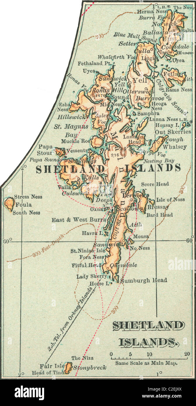 Map of the Shetland Islands Stock Photohttps://www.alamy.com/image-license-details/?v=1https://www.alamy.com/stock-photo-map-of-the-shetland-islands-35972242.html
RMC2EJXX–Map of the Shetland Islands
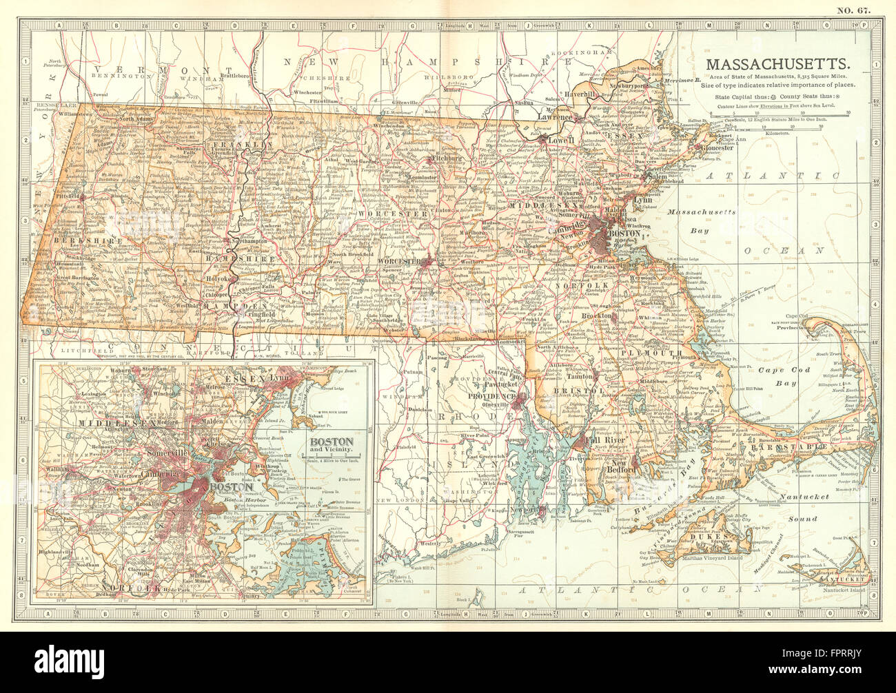 MASSACHUSETTS: State map. Inset Boston. Britannica 10th edition, 1903 Stock Photohttps://www.alamy.com/image-license-details/?v=1https://www.alamy.com/stock-photo-massachusetts-state-map-inset-boston-britannica-10th-edition-1903-100097731.html
RFFPRRJY–MASSACHUSETTS: State map. Inset Boston. Britannica 10th edition, 1903
![A map of the Province of New York, with part of Pensilvania, and New England. A MAP OF THE Province OF New-York, with Part of PENSILVANIA, AND NEW ENGLAND. [London] : Publish'd as the Act directs June 10th 1775, by A. Dury, Dukes Court St Martins Lane London, [1775.]. Source: Maps K.Top.121.4.11 TAB. Language: English. Author: Montresor, John. Stock Photo A map of the Province of New York, with part of Pensilvania, and New England. A MAP OF THE Province OF New-York, with Part of PENSILVANIA, AND NEW ENGLAND. [London] : Publish'd as the Act directs June 10th 1775, by A. Dury, Dukes Court St Martins Lane London, [1775.]. Source: Maps K.Top.121.4.11 TAB. Language: English. Author: Montresor, John. Stock Photo](https://c8.alamy.com/comp/R5EP30/a-map-of-the-province-of-new-york-with-part-of-pensilvania-and-new-england-a-map-of-the-province-of-new-york-with-part-of-pensilvania-and-new-england-london-publishd-as-the-act-directs-june-10th-1775-by-a-dury-dukes-court-st-martins-lane-london-1775-source-maps-ktop121411-tab-language-english-author-montresor-john-R5EP30.jpg) A map of the Province of New York, with part of Pensilvania, and New England. A MAP OF THE Province OF New-York, with Part of PENSILVANIA, AND NEW ENGLAND. [London] : Publish'd as the Act directs June 10th 1775, by A. Dury, Dukes Court St Martins Lane London, [1775.]. Source: Maps K.Top.121.4.11 TAB. Language: English. Author: Montresor, John. Stock Photohttps://www.alamy.com/image-license-details/?v=1https://www.alamy.com/a-map-of-the-province-of-new-york-with-part-of-pensilvania-and-new-england-a-map-of-the-province-of-new-york-with-part-of-pensilvania-and-new-england-london-publishd-as-the-act-directs-june-10th-1775-by-a-dury-dukes-court-st-martins-lane-london-1775-source-maps-ktop121411-tab-language-english-author-montresor-john-image227132724.html
A map of the Province of New York, with part of Pensilvania, and New England. A MAP OF THE Province OF New-York, with Part of PENSILVANIA, AND NEW ENGLAND. [London] : Publish'd as the Act directs June 10th 1775, by A. Dury, Dukes Court St Martins Lane London, [1775.]. Source: Maps K.Top.121.4.11 TAB. Language: English. Author: Montresor, John. Stock Photohttps://www.alamy.com/image-license-details/?v=1https://www.alamy.com/a-map-of-the-province-of-new-york-with-part-of-pensilvania-and-new-england-a-map-of-the-province-of-new-york-with-part-of-pensilvania-and-new-england-london-publishd-as-the-act-directs-june-10th-1775-by-a-dury-dukes-court-st-martins-lane-london-1775-source-maps-ktop121411-tab-language-english-author-montresor-john-image227132724.htmlRMR5EP30–A map of the Province of New York, with part of Pensilvania, and New England. A MAP OF THE Province OF New-York, with Part of PENSILVANIA, AND NEW ENGLAND. [London] : Publish'd as the Act directs June 10th 1775, by A. Dury, Dukes Court St Martins Lane London, [1775.]. Source: Maps K.Top.121.4.11 TAB. Language: English. Author: Montresor, John.
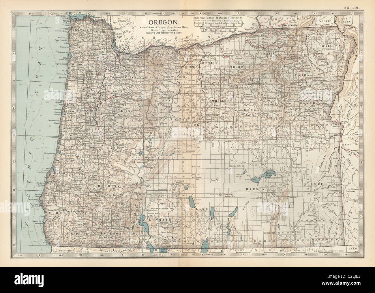 Map of Oregon Stock Photohttps://www.alamy.com/image-license-details/?v=1https://www.alamy.com/stock-photo-map-of-oregon-35971883.html
RMC2EJE3–Map of Oregon
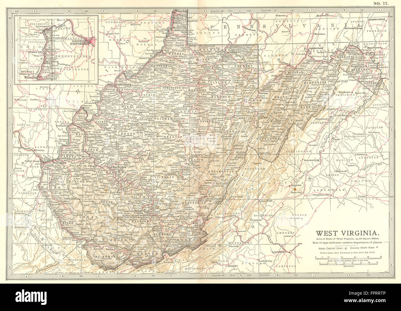 WEST VIRGINIA: State map showing counties. Britannica 10th edition, 1903 Stock Photohttps://www.alamy.com/image-license-details/?v=1https://www.alamy.com/stock-photo-west-virginia-state-map-showing-counties-britannica-10th-edition-1903-100097894.html
RFFPRRTP–WEST VIRGINIA: State map showing counties. Britannica 10th edition, 1903
![Figures and a horse and cart in front of Beckford Inn; a body of water to the right; trees and a fence in the foreground; hills in the distance. View of Beckford Inn, Gloucestershire. London : Published May 10th 1802 by f. Jukes Howland Street., [May 10 1802]. Source: Maps K.Top.13.85. Language: English. Author: Bluck. Stock Photo Figures and a horse and cart in front of Beckford Inn; a body of water to the right; trees and a fence in the foreground; hills in the distance. View of Beckford Inn, Gloucestershire. London : Published May 10th 1802 by f. Jukes Howland Street., [May 10 1802]. Source: Maps K.Top.13.85. Language: English. Author: Bluck. Stock Photo](https://c8.alamy.com/comp/R5AY9X/figures-and-a-horse-and-cart-in-front-of-beckford-inn-a-body-of-water-to-the-right-trees-and-a-fence-in-the-foreground-hills-in-the-distance-view-of-beckford-inn-gloucestershire-london-published-may-10th-1802-by-f-jukes-howland-street-may-10-1802-source-maps-ktop1385-language-english-author-bluck-R5AY9X.jpg) Figures and a horse and cart in front of Beckford Inn; a body of water to the right; trees and a fence in the foreground; hills in the distance. View of Beckford Inn, Gloucestershire. London : Published May 10th 1802 by f. Jukes Howland Street., [May 10 1802]. Source: Maps K.Top.13.85. Language: English. Author: Bluck. Stock Photohttps://www.alamy.com/image-license-details/?v=1https://www.alamy.com/figures-and-a-horse-and-cart-in-front-of-beckford-inn-a-body-of-water-to-the-right-trees-and-a-fence-in-the-foreground-hills-in-the-distance-view-of-beckford-inn-gloucestershire-london-published-may-10th-1802-by-f-jukes-howland-street-may-10-1802-source-maps-ktop1385-language-english-author-bluck-image227049030.html
Figures and a horse and cart in front of Beckford Inn; a body of water to the right; trees and a fence in the foreground; hills in the distance. View of Beckford Inn, Gloucestershire. London : Published May 10th 1802 by f. Jukes Howland Street., [May 10 1802]. Source: Maps K.Top.13.85. Language: English. Author: Bluck. Stock Photohttps://www.alamy.com/image-license-details/?v=1https://www.alamy.com/figures-and-a-horse-and-cart-in-front-of-beckford-inn-a-body-of-water-to-the-right-trees-and-a-fence-in-the-foreground-hills-in-the-distance-view-of-beckford-inn-gloucestershire-london-published-may-10th-1802-by-f-jukes-howland-street-may-10-1802-source-maps-ktop1385-language-english-author-bluck-image227049030.htmlRMR5AY9X–Figures and a horse and cart in front of Beckford Inn; a body of water to the right; trees and a fence in the foreground; hills in the distance. View of Beckford Inn, Gloucestershire. London : Published May 10th 1802 by f. Jukes Howland Street., [May 10 1802]. Source: Maps K.Top.13.85. Language: English. Author: Bluck.
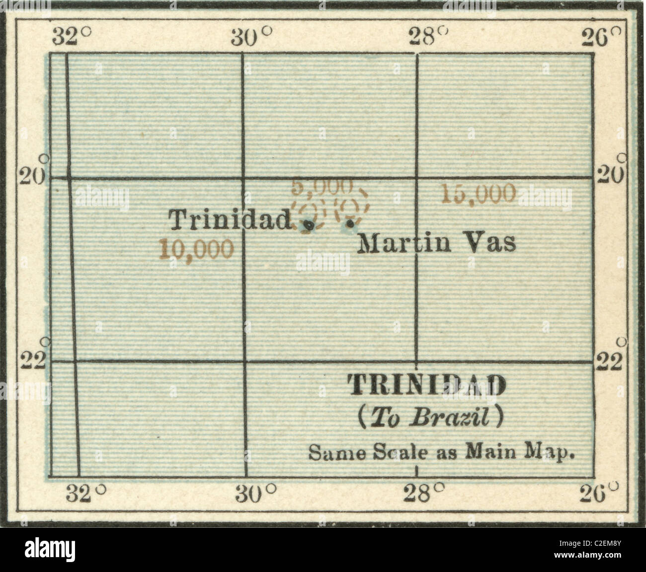 Map of Trinidad and Martin Vas Stock Photohttps://www.alamy.com/image-license-details/?v=1https://www.alamy.com/stock-photo-map-of-trinidad-and-martin-vas-35973307.html
RMC2EM8Y–Map of Trinidad and Martin Vas
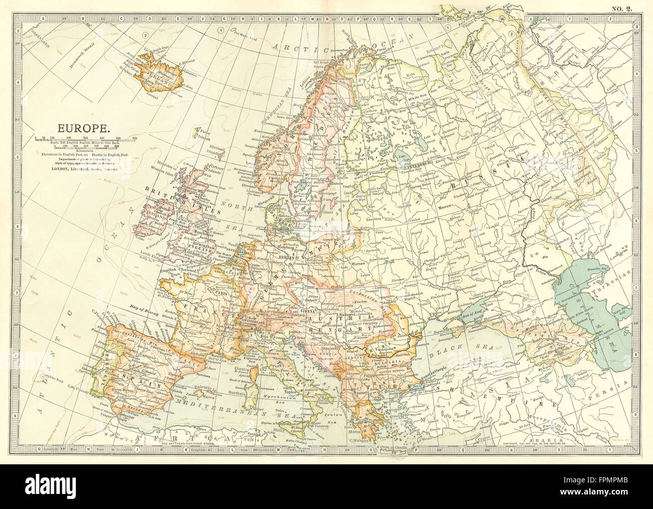 EUROPE: Europe, 1903 antique map Stock Photohttps://www.alamy.com/image-license-details/?v=1https://www.alamy.com/stock-photo-europe-europe-1903-antique-map-100031131.html
RFFPMPMB–EUROPE: Europe, 1903 antique map
![Swans on a body of water in the foreground; a figure and a dog on a country path; houses in the middle ground; trees throughout the scene. View in Washbourn Gloucestershire. London : Published May 10th 1802 by F. Jukes Howland Street., [May 10 1802]. Source: Maps K.Top.13.99.c. Language: English. Author: Bluck. Stock Photo Swans on a body of water in the foreground; a figure and a dog on a country path; houses in the middle ground; trees throughout the scene. View in Washbourn Gloucestershire. London : Published May 10th 1802 by F. Jukes Howland Street., [May 10 1802]. Source: Maps K.Top.13.99.c. Language: English. Author: Bluck. Stock Photo](https://c8.alamy.com/comp/R5E77B/swans-on-a-body-of-water-in-the-foreground-a-figure-and-a-dog-on-a-country-path-houses-in-the-middle-ground-trees-throughout-the-scene-view-in-washbourn-gloucestershire-london-published-may-10th-1802-by-f-jukes-howland-street-may-10-1802-source-maps-ktop1399c-language-english-author-bluck-R5E77B.jpg) Swans on a body of water in the foreground; a figure and a dog on a country path; houses in the middle ground; trees throughout the scene. View in Washbourn Gloucestershire. London : Published May 10th 1802 by F. Jukes Howland Street., [May 10 1802]. Source: Maps K.Top.13.99.c. Language: English. Author: Bluck. Stock Photohttps://www.alamy.com/image-license-details/?v=1https://www.alamy.com/swans-on-a-body-of-water-in-the-foreground-a-figure-and-a-dog-on-a-country-path-houses-in-the-middle-ground-trees-throughout-the-scene-view-in-washbourn-gloucestershire-london-published-may-10th-1802-by-f-jukes-howland-street-may-10-1802-source-maps-ktop1399c-language-english-author-bluck-image227121087.html
Swans on a body of water in the foreground; a figure and a dog on a country path; houses in the middle ground; trees throughout the scene. View in Washbourn Gloucestershire. London : Published May 10th 1802 by F. Jukes Howland Street., [May 10 1802]. Source: Maps K.Top.13.99.c. Language: English. Author: Bluck. Stock Photohttps://www.alamy.com/image-license-details/?v=1https://www.alamy.com/swans-on-a-body-of-water-in-the-foreground-a-figure-and-a-dog-on-a-country-path-houses-in-the-middle-ground-trees-throughout-the-scene-view-in-washbourn-gloucestershire-london-published-may-10th-1802-by-f-jukes-howland-street-may-10-1802-source-maps-ktop1399c-language-english-author-bluck-image227121087.htmlRMR5E77B–Swans on a body of water in the foreground; a figure and a dog on a country path; houses in the middle ground; trees throughout the scene. View in Washbourn Gloucestershire. London : Published May 10th 1802 by F. Jukes Howland Street., [May 10 1802]. Source: Maps K.Top.13.99.c. Language: English. Author: Bluck.
 Map of Iowa Stock Photohttps://www.alamy.com/image-license-details/?v=1https://www.alamy.com/stock-photo-map-of-iowa-35971638.html
RMC2EJ5A–Map of Iowa
 ARIZONA & NEW MEXICO: State map showing counties. Britannica 10th ed., 1903 Stock Photohttps://www.alamy.com/image-license-details/?v=1https://www.alamy.com/stock-photo-arizona-new-mexico-state-map-showing-counties-britannica-10th-ed-1903-100098563.html
RFFPRTMK–ARIZONA & NEW MEXICO: State map showing counties. Britannica 10th ed., 1903
![Figures by the River Wye; a rowing boat on the water; the town of Ross-on-Wye in the distance; the church spire on the horizon. A VIEW OF ROSS, On the River Wye, Herefordshire. [London] : Published July 10th 1810 by R. Lambe 39, Fleet Street., [Jule 10 1810]. Etching with hand-colouring. Source: Maps K.Top.15.97.2. Language: English. Stock Photo Figures by the River Wye; a rowing boat on the water; the town of Ross-on-Wye in the distance; the church spire on the horizon. A VIEW OF ROSS, On the River Wye, Herefordshire. [London] : Published July 10th 1810 by R. Lambe 39, Fleet Street., [Jule 10 1810]. Etching with hand-colouring. Source: Maps K.Top.15.97.2. Language: English. Stock Photo](https://c8.alamy.com/comp/R5CD1P/figures-by-the-river-wye-a-rowing-boat-on-the-water-the-town-of-ross-on-wye-in-the-distance-the-church-spire-on-the-horizon-a-view-of-ross-on-the-river-wye-herefordshire-london-published-july-10th-1810-by-r-lambe-39-fleet-street-jule-10-1810-etching-with-hand-colouring-source-maps-ktop15972-language-english-R5CD1P.jpg) Figures by the River Wye; a rowing boat on the water; the town of Ross-on-Wye in the distance; the church spire on the horizon. A VIEW OF ROSS, On the River Wye, Herefordshire. [London] : Published July 10th 1810 by R. Lambe 39, Fleet Street., [Jule 10 1810]. Etching with hand-colouring. Source: Maps K.Top.15.97.2. Language: English. Stock Photohttps://www.alamy.com/image-license-details/?v=1https://www.alamy.com/figures-by-the-river-wye-a-rowing-boat-on-the-water-the-town-of-ross-on-wye-in-the-distance-the-church-spire-on-the-horizon-a-view-of-ross-on-the-river-wye-herefordshire-london-published-july-10th-1810-by-r-lambe-39-fleet-street-jule-10-1810-etching-with-hand-colouring-source-maps-ktop15972-language-english-image227081730.html
Figures by the River Wye; a rowing boat on the water; the town of Ross-on-Wye in the distance; the church spire on the horizon. A VIEW OF ROSS, On the River Wye, Herefordshire. [London] : Published July 10th 1810 by R. Lambe 39, Fleet Street., [Jule 10 1810]. Etching with hand-colouring. Source: Maps K.Top.15.97.2. Language: English. Stock Photohttps://www.alamy.com/image-license-details/?v=1https://www.alamy.com/figures-by-the-river-wye-a-rowing-boat-on-the-water-the-town-of-ross-on-wye-in-the-distance-the-church-spire-on-the-horizon-a-view-of-ross-on-the-river-wye-herefordshire-london-published-july-10th-1810-by-r-lambe-39-fleet-street-jule-10-1810-etching-with-hand-colouring-source-maps-ktop15972-language-english-image227081730.htmlRMR5CD1P–Figures by the River Wye; a rowing boat on the water; the town of Ross-on-Wye in the distance; the church spire on the horizon. A VIEW OF ROSS, On the River Wye, Herefordshire. [London] : Published July 10th 1810 by R. Lambe 39, Fleet Street., [Jule 10 1810]. Etching with hand-colouring. Source: Maps K.Top.15.97.2. Language: English.
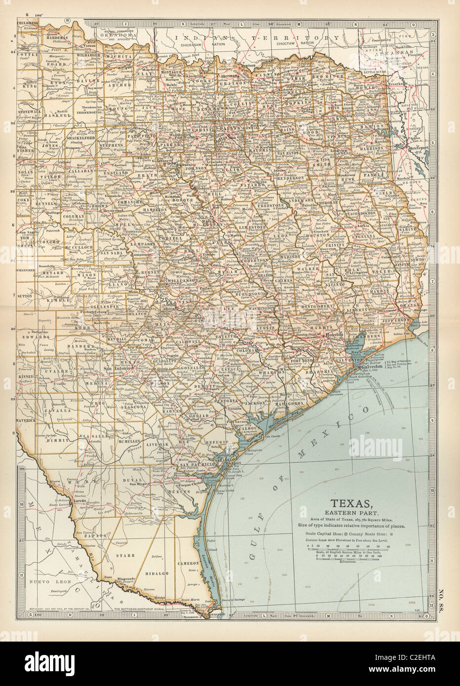 Map of eastern Texas Stock Photohttps://www.alamy.com/image-license-details/?v=1https://www.alamy.com/stock-photo-map-of-eastern-texas-35971386.html
RMC2EHTA–Map of eastern Texas
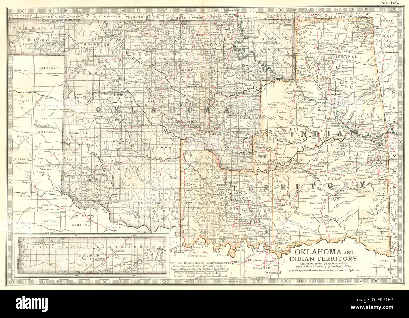 OKLAHOMA: & Indian Territory, 1903 antique map Stock Photohttps://www.alamy.com/image-license-details/?v=1https://www.alamy.com/stock-photo-oklahoma-indian-territory-1903-antique-map-100098467.html
RFFPRTH7–OKLAHOMA: & Indian Territory, 1903 antique map
![Cattle by a body of water; a figure on a path; a wall cutting diagonally across the scene; the church of St. Margaret of Antioch, Alderton in the middle ground; gravestones on the left; trees throughout the scene. View of Alderton Church, Gloucestershire. London : Published May 10th 1802 by F. Jukes Howland Street., [May 10 1802]. Aquatint and etching with hand-colouring. Source: Maps K.Top.13.82. Language: English. Author: Bluck. Stock Photo Cattle by a body of water; a figure on a path; a wall cutting diagonally across the scene; the church of St. Margaret of Antioch, Alderton in the middle ground; gravestones on the left; trees throughout the scene. View of Alderton Church, Gloucestershire. London : Published May 10th 1802 by F. Jukes Howland Street., [May 10 1802]. Aquatint and etching with hand-colouring. Source: Maps K.Top.13.82. Language: English. Author: Bluck. Stock Photo](https://c8.alamy.com/comp/R5EPFC/cattle-by-a-body-of-water-a-figure-on-a-path-a-wall-cutting-diagonally-across-the-scene-the-church-of-st-margaret-of-antioch-alderton-in-the-middle-ground-gravestones-on-the-left-trees-throughout-the-scene-view-of-alderton-church-gloucestershire-london-published-may-10th-1802-by-f-jukes-howland-street-may-10-1802-aquatint-and-etching-with-hand-colouring-source-maps-ktop1382-language-english-author-bluck-R5EPFC.jpg) Cattle by a body of water; a figure on a path; a wall cutting diagonally across the scene; the church of St. Margaret of Antioch, Alderton in the middle ground; gravestones on the left; trees throughout the scene. View of Alderton Church, Gloucestershire. London : Published May 10th 1802 by F. Jukes Howland Street., [May 10 1802]. Aquatint and etching with hand-colouring. Source: Maps K.Top.13.82. Language: English. Author: Bluck. Stock Photohttps://www.alamy.com/image-license-details/?v=1https://www.alamy.com/cattle-by-a-body-of-water-a-figure-on-a-path-a-wall-cutting-diagonally-across-the-scene-the-church-of-st-margaret-of-antioch-alderton-in-the-middle-ground-gravestones-on-the-left-trees-throughout-the-scene-view-of-alderton-church-gloucestershire-london-published-may-10th-1802-by-f-jukes-howland-street-may-10-1802-aquatint-and-etching-with-hand-colouring-source-maps-ktop1382-language-english-author-bluck-image227133072.html
Cattle by a body of water; a figure on a path; a wall cutting diagonally across the scene; the church of St. Margaret of Antioch, Alderton in the middle ground; gravestones on the left; trees throughout the scene. View of Alderton Church, Gloucestershire. London : Published May 10th 1802 by F. Jukes Howland Street., [May 10 1802]. Aquatint and etching with hand-colouring. Source: Maps K.Top.13.82. Language: English. Author: Bluck. Stock Photohttps://www.alamy.com/image-license-details/?v=1https://www.alamy.com/cattle-by-a-body-of-water-a-figure-on-a-path-a-wall-cutting-diagonally-across-the-scene-the-church-of-st-margaret-of-antioch-alderton-in-the-middle-ground-gravestones-on-the-left-trees-throughout-the-scene-view-of-alderton-church-gloucestershire-london-published-may-10th-1802-by-f-jukes-howland-street-may-10-1802-aquatint-and-etching-with-hand-colouring-source-maps-ktop1382-language-english-author-bluck-image227133072.htmlRMR5EPFC–Cattle by a body of water; a figure on a path; a wall cutting diagonally across the scene; the church of St. Margaret of Antioch, Alderton in the middle ground; gravestones on the left; trees throughout the scene. View of Alderton Church, Gloucestershire. London : Published May 10th 1802 by F. Jukes Howland Street., [May 10 1802]. Aquatint and etching with hand-colouring. Source: Maps K.Top.13.82. Language: English. Author: Bluck.
 Map of South Dakota Stock Photohttps://www.alamy.com/image-license-details/?v=1https://www.alamy.com/stock-photo-map-of-south-dakota-35971618.html
RMC2EJ4J–Map of South Dakota
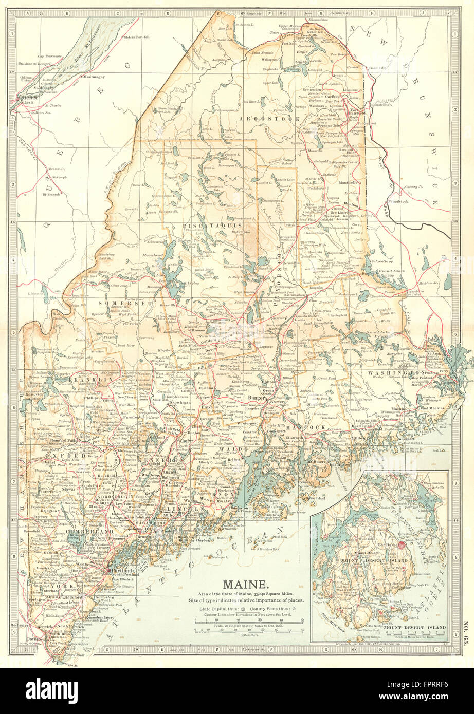 MAINE: Inset Mount Desert Island, 1903 antique map Stock Photohttps://www.alamy.com/image-license-details/?v=1https://www.alamy.com/stock-photo-maine-inset-mount-desert-island-1903-antique-map-100097626.html
RFFPRRF6–MAINE: Inset Mount Desert Island, 1903 antique map
![St. Aubin. Saint-Aubin, France. Juno beach. A map of the Second War World. On D-Day the infantry of the North Shore Regiment of New Brunswick landed there, and were backed up by the armour of the Fort Garry Horse (also known as the 10th Armoured Regiment). Le Régiment de la Chaudière of Quebec came ashore in reserve. France 1:25,000 Defences, Bigot. [London] : War Office, 1944. Source: Maps 14317.(259.) 14-18 SW. Stock Photo St. Aubin. Saint-Aubin, France. Juno beach. A map of the Second War World. On D-Day the infantry of the North Shore Regiment of New Brunswick landed there, and were backed up by the armour of the Fort Garry Horse (also known as the 10th Armoured Regiment). Le Régiment de la Chaudière of Quebec came ashore in reserve. France 1:25,000 Defences, Bigot. [London] : War Office, 1944. Source: Maps 14317.(259.) 14-18 SW. Stock Photo](https://c8.alamy.com/comp/R5G1GT/st-aubin-saint-aubin-france-juno-beach-a-map-of-the-second-war-world-on-d-day-the-infantry-of-the-north-shore-regiment-of-new-brunswick-landed-there-and-were-backed-up-by-the-armour-of-the-fort-garry-horse-also-known-as-the-10th-armoured-regiment-le-rgiment-de-la-chaudire-of-quebec-came-ashore-in-reserve-france-125000-defences-bigot-london-war-office-1944-source-maps-14317259-14-18-sw-R5G1GT.jpg) St. Aubin. Saint-Aubin, France. Juno beach. A map of the Second War World. On D-Day the infantry of the North Shore Regiment of New Brunswick landed there, and were backed up by the armour of the Fort Garry Horse (also known as the 10th Armoured Regiment). Le Régiment de la Chaudière of Quebec came ashore in reserve. France 1:25,000 Defences, Bigot. [London] : War Office, 1944. Source: Maps 14317.(259.) 14-18 SW. Stock Photohttps://www.alamy.com/image-license-details/?v=1https://www.alamy.com/st-aubin-saint-aubin-france-juno-beach-a-map-of-the-second-war-world-on-d-day-the-infantry-of-the-north-shore-regiment-of-new-brunswick-landed-there-and-were-backed-up-by-the-armour-of-the-fort-garry-horse-also-known-as-the-10th-armoured-regiment-le-rgiment-de-la-chaudire-of-quebec-came-ashore-in-reserve-france-125000-defences-bigot-london-war-office-1944-source-maps-14317259-14-18-sw-image227160552.html
St. Aubin. Saint-Aubin, France. Juno beach. A map of the Second War World. On D-Day the infantry of the North Shore Regiment of New Brunswick landed there, and were backed up by the armour of the Fort Garry Horse (also known as the 10th Armoured Regiment). Le Régiment de la Chaudière of Quebec came ashore in reserve. France 1:25,000 Defences, Bigot. [London] : War Office, 1944. Source: Maps 14317.(259.) 14-18 SW. Stock Photohttps://www.alamy.com/image-license-details/?v=1https://www.alamy.com/st-aubin-saint-aubin-france-juno-beach-a-map-of-the-second-war-world-on-d-day-the-infantry-of-the-north-shore-regiment-of-new-brunswick-landed-there-and-were-backed-up-by-the-armour-of-the-fort-garry-horse-also-known-as-the-10th-armoured-regiment-le-rgiment-de-la-chaudire-of-quebec-came-ashore-in-reserve-france-125000-defences-bigot-london-war-office-1944-source-maps-14317259-14-18-sw-image227160552.htmlRMR5G1GT–St. Aubin. Saint-Aubin, France. Juno beach. A map of the Second War World. On D-Day the infantry of the North Shore Regiment of New Brunswick landed there, and were backed up by the armour of the Fort Garry Horse (also known as the 10th Armoured Regiment). Le Régiment de la Chaudière of Quebec came ashore in reserve. France 1:25,000 Defences, Bigot. [London] : War Office, 1944. Source: Maps 14317.(259.) 14-18 SW.
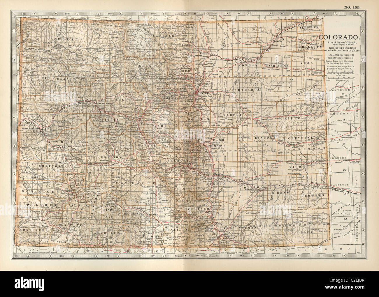 Map of Colorado Stock Photohttps://www.alamy.com/image-license-details/?v=1https://www.alamy.com/stock-photo-map-of-colorado-35971819.html
RMC2EJBR–Map of Colorado
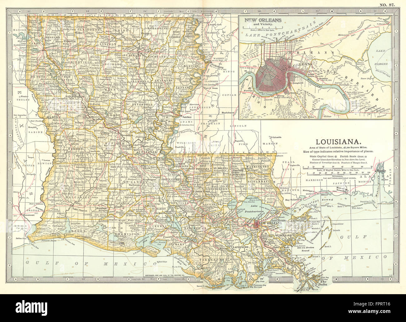 LOUISIANA: Inset New Orleans, 1903 antique map Stock Photohttps://www.alamy.com/image-license-details/?v=1https://www.alamy.com/stock-photo-louisiana-inset-new-orleans-1903-antique-map-100098018.html
RFFPRT16–LOUISIANA: Inset New Orleans, 1903 antique map
![A night scene in Covent Garden with St Paul's on the right, a column in the centre and fireworks everywhere. A Perfect Description of the Firework in Covent Garden that was performd at the Charge of the Gentry and other inhabitants of that Parish, for ye joyfull returan of His Majesty from his conquest in Ireland, Sept. 10th, 1690. London : Sold by B.Lens bettwen Brid-well Bridge and Fleet Bridge in Black-fryers [1690]. Source: Maps K.Top.22.28.e. Language: English. Stock Photo A night scene in Covent Garden with St Paul's on the right, a column in the centre and fireworks everywhere. A Perfect Description of the Firework in Covent Garden that was performd at the Charge of the Gentry and other inhabitants of that Parish, for ye joyfull returan of His Majesty from his conquest in Ireland, Sept. 10th, 1690. London : Sold by B.Lens bettwen Brid-well Bridge and Fleet Bridge in Black-fryers [1690]. Source: Maps K.Top.22.28.e. Language: English. Stock Photo](https://c8.alamy.com/comp/R54YT5/a-night-scene-in-covent-garden-with-st-pauls-on-the-right-a-column-in-the-centre-and-fireworks-everywhere-a-perfect-description-of-the-firework-in-covent-garden-that-was-performd-at-the-charge-of-the-gentry-and-other-inhabitants-of-that-parish-for-ye-joyfull-returan-of-his-majesty-from-his-conquest-in-ireland-sept-10th-1690-london-sold-by-blens-bettwen-brid-well-bridge-and-fleet-bridge-in-black-fryers-1690-source-maps-ktop2228e-language-english-R54YT5.jpg) A night scene in Covent Garden with St Paul's on the right, a column in the centre and fireworks everywhere. A Perfect Description of the Firework in Covent Garden that was performd at the Charge of the Gentry and other inhabitants of that Parish, for ye joyfull returan of His Majesty from his conquest in Ireland, Sept. 10th, 1690. London : Sold by B.Lens bettwen Brid-well Bridge and Fleet Bridge in Black-fryers [1690]. Source: Maps K.Top.22.28.e. Language: English. Stock Photohttps://www.alamy.com/image-license-details/?v=1https://www.alamy.com/a-night-scene-in-covent-garden-with-st-pauls-on-the-right-a-column-in-the-centre-and-fireworks-everywhere-a-perfect-description-of-the-firework-in-covent-garden-that-was-performd-at-the-charge-of-the-gentry-and-other-inhabitants-of-that-parish-for-ye-joyfull-returan-of-his-majesty-from-his-conquest-in-ireland-sept-10th-1690-london-sold-by-blens-bettwen-brid-well-bridge-and-fleet-bridge-in-black-fryers-1690-source-maps-ktop2228e-language-english-image226917717.html
A night scene in Covent Garden with St Paul's on the right, a column in the centre and fireworks everywhere. A Perfect Description of the Firework in Covent Garden that was performd at the Charge of the Gentry and other inhabitants of that Parish, for ye joyfull returan of His Majesty from his conquest in Ireland, Sept. 10th, 1690. London : Sold by B.Lens bettwen Brid-well Bridge and Fleet Bridge in Black-fryers [1690]. Source: Maps K.Top.22.28.e. Language: English. Stock Photohttps://www.alamy.com/image-license-details/?v=1https://www.alamy.com/a-night-scene-in-covent-garden-with-st-pauls-on-the-right-a-column-in-the-centre-and-fireworks-everywhere-a-perfect-description-of-the-firework-in-covent-garden-that-was-performd-at-the-charge-of-the-gentry-and-other-inhabitants-of-that-parish-for-ye-joyfull-returan-of-his-majesty-from-his-conquest-in-ireland-sept-10th-1690-london-sold-by-blens-bettwen-brid-well-bridge-and-fleet-bridge-in-black-fryers-1690-source-maps-ktop2228e-language-english-image226917717.htmlRMR54YT5–A night scene in Covent Garden with St Paul's on the right, a column in the centre and fireworks everywhere. A Perfect Description of the Firework in Covent Garden that was performd at the Charge of the Gentry and other inhabitants of that Parish, for ye joyfull returan of His Majesty from his conquest in Ireland, Sept. 10th, 1690. London : Sold by B.Lens bettwen Brid-well Bridge and Fleet Bridge in Black-fryers [1690]. Source: Maps K.Top.22.28.e. Language: English.
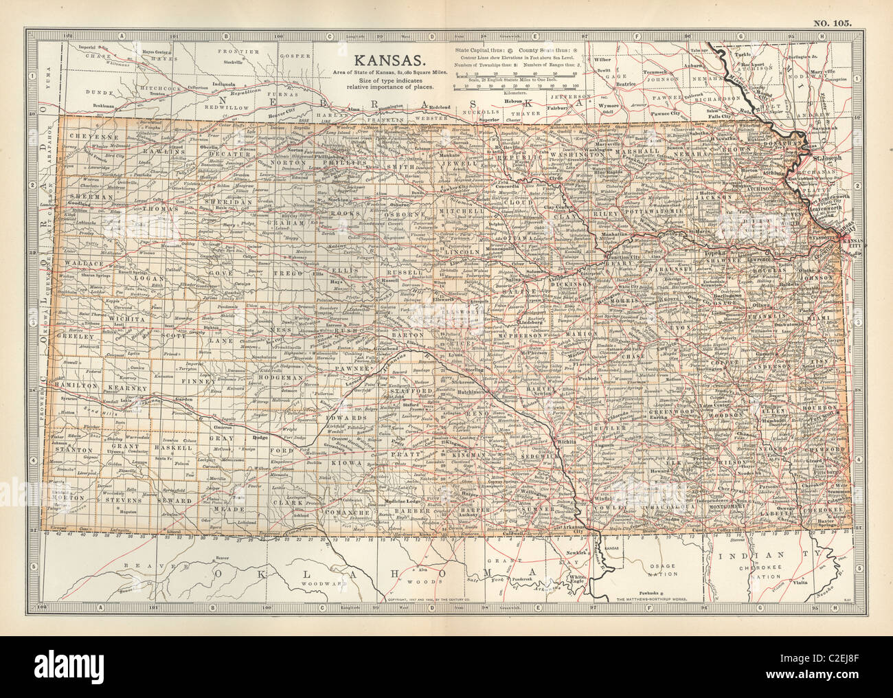 Map of Kansas Stock Photohttps://www.alamy.com/image-license-details/?v=1https://www.alamy.com/stock-photo-map-of-kansas-35971727.html
RMC2EJ8F–Map of Kansas
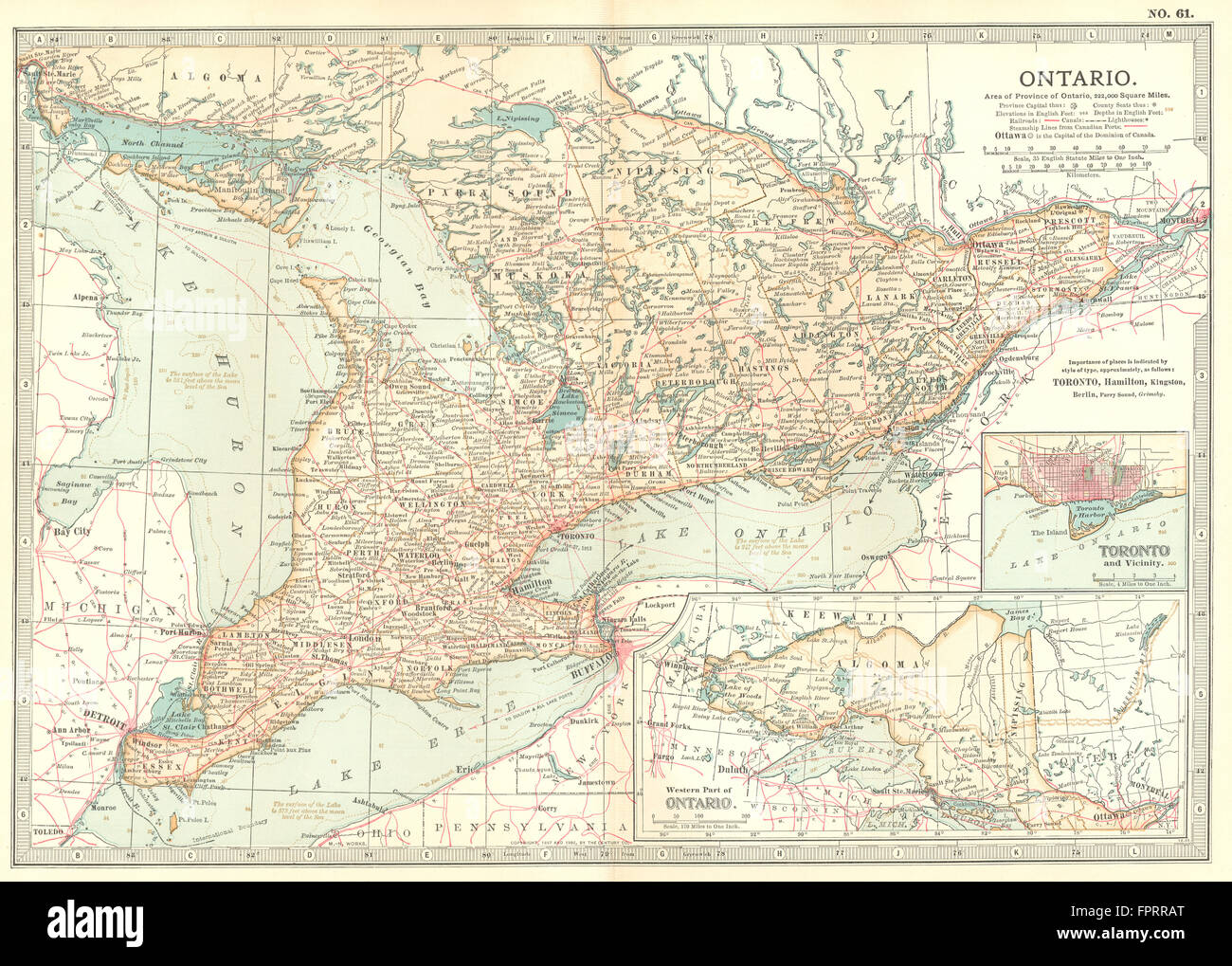 CANADA: Ontario; Inset Toronto, 1903 antique map Stock Photohttps://www.alamy.com/image-license-details/?v=1https://www.alamy.com/stock-photo-canada-ontario-inset-toronto-1903-antique-map-100097504.html
RFFPRRAT–CANADA: Ontario; Inset Toronto, 1903 antique map
![Horses pulling a carriage on a track in the foreground; a large chimney on the left-hand side; ships moored in a harbour on the right-hand side; the town of Greenock in the middle ground; hills and trees in the distance . GREENOCK. London : Published Octr 10th 1811 by F.J. Sarjent 57 Upper John Street, Fitzroy Square. Successor to Mr F. Jukes., [October 10 1811]. Source: Maps K.Top.50.85. Language: English. Stock Photo Horses pulling a carriage on a track in the foreground; a large chimney on the left-hand side; ships moored in a harbour on the right-hand side; the town of Greenock in the middle ground; hills and trees in the distance . GREENOCK. London : Published Octr 10th 1811 by F.J. Sarjent 57 Upper John Street, Fitzroy Square. Successor to Mr F. Jukes., [October 10 1811]. Source: Maps K.Top.50.85. Language: English. Stock Photo](https://c8.alamy.com/comp/R5AD89/horses-pulling-a-carriage-on-a-track-in-the-foreground-a-large-chimney-on-the-left-hand-side-ships-moored-in-a-harbour-on-the-right-hand-side-the-town-of-greenock-in-the-middle-ground-hills-and-trees-in-the-distance-greenock-london-published-octr-10th-1811-by-fj-sarjent-57-upper-john-street-fitzroy-square-successor-to-mr-f-jukes-october-10-1811-source-maps-ktop5085-language-english-R5AD89.jpg) Horses pulling a carriage on a track in the foreground; a large chimney on the left-hand side; ships moored in a harbour on the right-hand side; the town of Greenock in the middle ground; hills and trees in the distance . GREENOCK. London : Published Octr 10th 1811 by F.J. Sarjent 57 Upper John Street, Fitzroy Square. Successor to Mr F. Jukes., [October 10 1811]. Source: Maps K.Top.50.85. Language: English. Stock Photohttps://www.alamy.com/image-license-details/?v=1https://www.alamy.com/horses-pulling-a-carriage-on-a-track-in-the-foreground-a-large-chimney-on-the-left-hand-side-ships-moored-in-a-harbour-on-the-right-hand-side-the-town-of-greenock-in-the-middle-ground-hills-and-trees-in-the-distance-greenock-london-published-octr-10th-1811-by-fj-sarjent-57-upper-john-street-fitzroy-square-successor-to-mr-f-jukes-october-10-1811-source-maps-ktop5085-language-english-image227038009.html
Horses pulling a carriage on a track in the foreground; a large chimney on the left-hand side; ships moored in a harbour on the right-hand side; the town of Greenock in the middle ground; hills and trees in the distance . GREENOCK. London : Published Octr 10th 1811 by F.J. Sarjent 57 Upper John Street, Fitzroy Square. Successor to Mr F. Jukes., [October 10 1811]. Source: Maps K.Top.50.85. Language: English. Stock Photohttps://www.alamy.com/image-license-details/?v=1https://www.alamy.com/horses-pulling-a-carriage-on-a-track-in-the-foreground-a-large-chimney-on-the-left-hand-side-ships-moored-in-a-harbour-on-the-right-hand-side-the-town-of-greenock-in-the-middle-ground-hills-and-trees-in-the-distance-greenock-london-published-octr-10th-1811-by-fj-sarjent-57-upper-john-street-fitzroy-square-successor-to-mr-f-jukes-october-10-1811-source-maps-ktop5085-language-english-image227038009.htmlRMR5AD89–Horses pulling a carriage on a track in the foreground; a large chimney on the left-hand side; ships moored in a harbour on the right-hand side; the town of Greenock in the middle ground; hills and trees in the distance . GREENOCK. London : Published Octr 10th 1811 by F.J. Sarjent 57 Upper John Street, Fitzroy Square. Successor to Mr F. Jukes., [October 10 1811]. Source: Maps K.Top.50.85. Language: English.
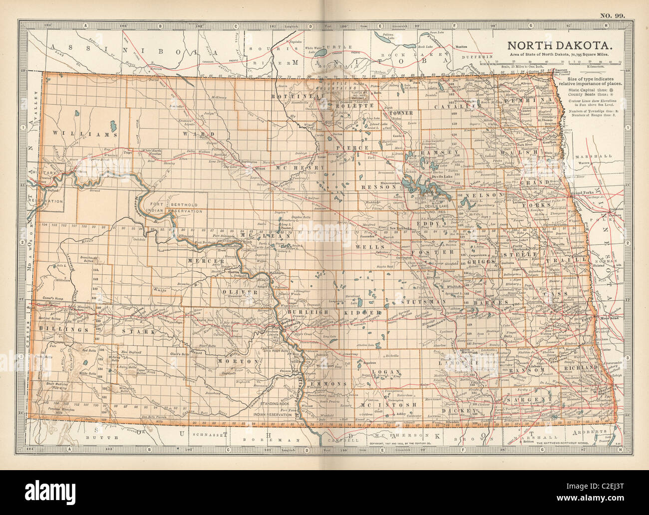 Map of North Dakota Stock Photohttps://www.alamy.com/image-license-details/?v=1https://www.alamy.com/stock-photo-map-of-north-dakota-35971596.html
RMC2EJ3T–Map of North Dakota
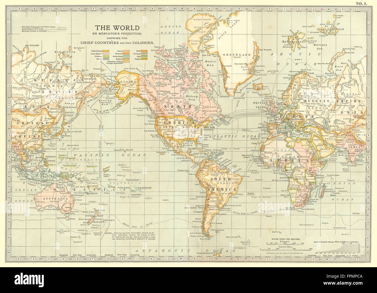 WORLD: on Mercator projection showing colonies, 1903 antique map Stock Photohttps://www.alamy.com/image-license-details/?v=1https://www.alamy.com/stock-photo-world-on-mercator-projection-showing-colonies-1903-antique-map-100030906.html
RFFPMPCA–WORLD: on Mercator projection showing colonies, 1903 antique map
![A view of the Cape of Good Hope; a tall, peaked mountain on the right with ships in the Table Bay below on the left and Cape Town on the right . TO HIS MOST SERENE HIGHNESS WILLIAM PRINCE OF ORANGE Hereditary Stadtholder of the United States &c, &c, &c, this View of CAPE TOWN and HIGHLANDS - CAPE OF GOOD HOPE : is with the utmost respect inscribed by his Highness's Obedient Servant Francis Jukes. London : Publish'd July 10th 1794 by F. Jukes No10 Howland Street., [July 10 1794]. Source: Maps K.Top.117.116.e.2. Language: English. Stock Photo A view of the Cape of Good Hope; a tall, peaked mountain on the right with ships in the Table Bay below on the left and Cape Town on the right . TO HIS MOST SERENE HIGHNESS WILLIAM PRINCE OF ORANGE Hereditary Stadtholder of the United States &c, &c, &c, this View of CAPE TOWN and HIGHLANDS - CAPE OF GOOD HOPE : is with the utmost respect inscribed by his Highness's Obedient Servant Francis Jukes. London : Publish'd July 10th 1794 by F. Jukes No10 Howland Street., [July 10 1794]. Source: Maps K.Top.117.116.e.2. Language: English. Stock Photo](https://c8.alamy.com/comp/R54NG1/a-view-of-the-cape-of-good-hope-a-tall-peaked-mountain-on-the-right-with-ships-in-the-table-bay-below-on-the-left-and-cape-town-on-the-right-to-his-most-serene-highness-william-prince-of-orange-hereditary-stadtholder-of-the-united-states-c-c-c-this-view-of-cape-town-and-highlands-cape-of-good-hope-is-with-the-utmost-respect-inscribed-by-his-highnesss-obedient-servant-francis-jukes-london-publishd-july-10th-1794-by-f-jukes-no10-howland-street-july-10-1794-source-maps-ktop117116e2-language-english-R54NG1.jpg) A view of the Cape of Good Hope; a tall, peaked mountain on the right with ships in the Table Bay below on the left and Cape Town on the right . TO HIS MOST SERENE HIGHNESS WILLIAM PRINCE OF ORANGE Hereditary Stadtholder of the United States &c, &c, &c, this View of CAPE TOWN and HIGHLANDS - CAPE OF GOOD HOPE : is with the utmost respect inscribed by his Highness's Obedient Servant Francis Jukes. London : Publish'd July 10th 1794 by F. Jukes No10 Howland Street., [July 10 1794]. Source: Maps K.Top.117.116.e.2. Language: English. Stock Photohttps://www.alamy.com/image-license-details/?v=1https://www.alamy.com/a-view-of-the-cape-of-good-hope-a-tall-peaked-mountain-on-the-right-with-ships-in-the-table-bay-below-on-the-left-and-cape-town-on-the-right-to-his-most-serene-highness-william-prince-of-orange-hereditary-stadtholder-of-the-united-states-c-c-c-this-view-of-cape-town-and-highlands-cape-of-good-hope-is-with-the-utmost-respect-inscribed-by-his-highnesss-obedient-servant-francis-jukes-london-publishd-july-10th-1794-by-f-jukes-no10-howland-street-july-10-1794-source-maps-ktop117116e2-language-english-image226912785.html
A view of the Cape of Good Hope; a tall, peaked mountain on the right with ships in the Table Bay below on the left and Cape Town on the right . TO HIS MOST SERENE HIGHNESS WILLIAM PRINCE OF ORANGE Hereditary Stadtholder of the United States &c, &c, &c, this View of CAPE TOWN and HIGHLANDS - CAPE OF GOOD HOPE : is with the utmost respect inscribed by his Highness's Obedient Servant Francis Jukes. London : Publish'd July 10th 1794 by F. Jukes No10 Howland Street., [July 10 1794]. Source: Maps K.Top.117.116.e.2. Language: English. Stock Photohttps://www.alamy.com/image-license-details/?v=1https://www.alamy.com/a-view-of-the-cape-of-good-hope-a-tall-peaked-mountain-on-the-right-with-ships-in-the-table-bay-below-on-the-left-and-cape-town-on-the-right-to-his-most-serene-highness-william-prince-of-orange-hereditary-stadtholder-of-the-united-states-c-c-c-this-view-of-cape-town-and-highlands-cape-of-good-hope-is-with-the-utmost-respect-inscribed-by-his-highnesss-obedient-servant-francis-jukes-london-publishd-july-10th-1794-by-f-jukes-no10-howland-street-july-10-1794-source-maps-ktop117116e2-language-english-image226912785.htmlRMR54NG1–A view of the Cape of Good Hope; a tall, peaked mountain on the right with ships in the Table Bay below on the left and Cape Town on the right . TO HIS MOST SERENE HIGHNESS WILLIAM PRINCE OF ORANGE Hereditary Stadtholder of the United States &c, &c, &c, this View of CAPE TOWN and HIGHLANDS - CAPE OF GOOD HOPE : is with the utmost respect inscribed by his Highness's Obedient Servant Francis Jukes. London : Publish'd July 10th 1794 by F. Jukes No10 Howland Street., [July 10 1794]. Source: Maps K.Top.117.116.e.2. Language: English.
 Map of Montana Stock Photohttps://www.alamy.com/image-license-details/?v=1https://www.alamy.com/stock-photo-map-of-montana-35971777.html
RMC2EJA9–Map of Montana
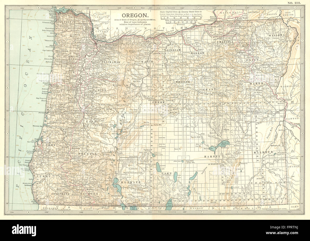 OREGON: State map showing counties & Indian reservations. Britannica, 1903 Stock Photohttps://www.alamy.com/image-license-details/?v=1https://www.alamy.com/stock-photo-oregon-state-map-showing-counties-indian-reservations-britannica-1903-100098590.html
RFFPRTNJ–OREGON: State map showing counties & Indian reservations. Britannica, 1903
![A group of soldiers and two women walk, sit, drink and talk among some tents on a hill in the foreground, with the British flag flying above Fort Royal behind, and rooftops and mountains seen over a wall in the background. A North View of Fort Royal in the Island of Guadaloupe. [London] : Publish'd according to Act of Parliament 10th. August 1764, by Tho.s Jefferys at Charing Cross, [August 10 1764]. Etching and engraving. Source: Maps K.Top.123.92.c. Language: English and French. Author: Campbell, Lt-Col. Archibald. Stock Photo A group of soldiers and two women walk, sit, drink and talk among some tents on a hill in the foreground, with the British flag flying above Fort Royal behind, and rooftops and mountains seen over a wall in the background. A North View of Fort Royal in the Island of Guadaloupe. [London] : Publish'd according to Act of Parliament 10th. August 1764, by Tho.s Jefferys at Charing Cross, [August 10 1764]. Etching and engraving. Source: Maps K.Top.123.92.c. Language: English and French. Author: Campbell, Lt-Col. Archibald. Stock Photo](https://c8.alamy.com/comp/R566CN/a-group-of-soldiers-and-two-women-walk-sit-drink-and-talk-among-some-tents-on-a-hill-in-the-foreground-with-the-british-flag-flying-above-fort-royal-behind-and-rooftops-and-mountains-seen-over-a-wall-in-the-background-a-north-view-of-fort-royal-in-the-island-of-guadaloupe-london-publishd-according-to-act-of-parliament-10th-august-1764-by-thos-jefferys-at-charing-cross-august-10-1764-etching-and-engraving-source-maps-ktop12392c-language-english-and-french-author-campbell-lt-col-archibald-R566CN.jpg) A group of soldiers and two women walk, sit, drink and talk among some tents on a hill in the foreground, with the British flag flying above Fort Royal behind, and rooftops and mountains seen over a wall in the background. A North View of Fort Royal in the Island of Guadaloupe. [London] : Publish'd according to Act of Parliament 10th. August 1764, by Tho.s Jefferys at Charing Cross, [August 10 1764]. Etching and engraving. Source: Maps K.Top.123.92.c. Language: English and French. Author: Campbell, Lt-Col. Archibald. Stock Photohttps://www.alamy.com/image-license-details/?v=1https://www.alamy.com/a-group-of-soldiers-and-two-women-walk-sit-drink-and-talk-among-some-tents-on-a-hill-in-the-foreground-with-the-british-flag-flying-above-fort-royal-behind-and-rooftops-and-mountains-seen-over-a-wall-in-the-background-a-north-view-of-fort-royal-in-the-island-of-guadaloupe-london-publishd-according-to-act-of-parliament-10th-august-1764-by-thos-jefferys-at-charing-cross-august-10-1764-etching-and-engraving-source-maps-ktop12392c-language-english-and-french-author-campbell-lt-col-archibald-image226944837.html
A group of soldiers and two women walk, sit, drink and talk among some tents on a hill in the foreground, with the British flag flying above Fort Royal behind, and rooftops and mountains seen over a wall in the background. A North View of Fort Royal in the Island of Guadaloupe. [London] : Publish'd according to Act of Parliament 10th. August 1764, by Tho.s Jefferys at Charing Cross, [August 10 1764]. Etching and engraving. Source: Maps K.Top.123.92.c. Language: English and French. Author: Campbell, Lt-Col. Archibald. Stock Photohttps://www.alamy.com/image-license-details/?v=1https://www.alamy.com/a-group-of-soldiers-and-two-women-walk-sit-drink-and-talk-among-some-tents-on-a-hill-in-the-foreground-with-the-british-flag-flying-above-fort-royal-behind-and-rooftops-and-mountains-seen-over-a-wall-in-the-background-a-north-view-of-fort-royal-in-the-island-of-guadaloupe-london-publishd-according-to-act-of-parliament-10th-august-1764-by-thos-jefferys-at-charing-cross-august-10-1764-etching-and-engraving-source-maps-ktop12392c-language-english-and-french-author-campbell-lt-col-archibald-image226944837.htmlRMR566CN–A group of soldiers and two women walk, sit, drink and talk among some tents on a hill in the foreground, with the British flag flying above Fort Royal behind, and rooftops and mountains seen over a wall in the background. A North View of Fort Royal in the Island of Guadaloupe. [London] : Publish'd according to Act of Parliament 10th. August 1764, by Tho.s Jefferys at Charing Cross, [August 10 1764]. Etching and engraving. Source: Maps K.Top.123.92.c. Language: English and French. Author: Campbell, Lt-Col. Archibald.
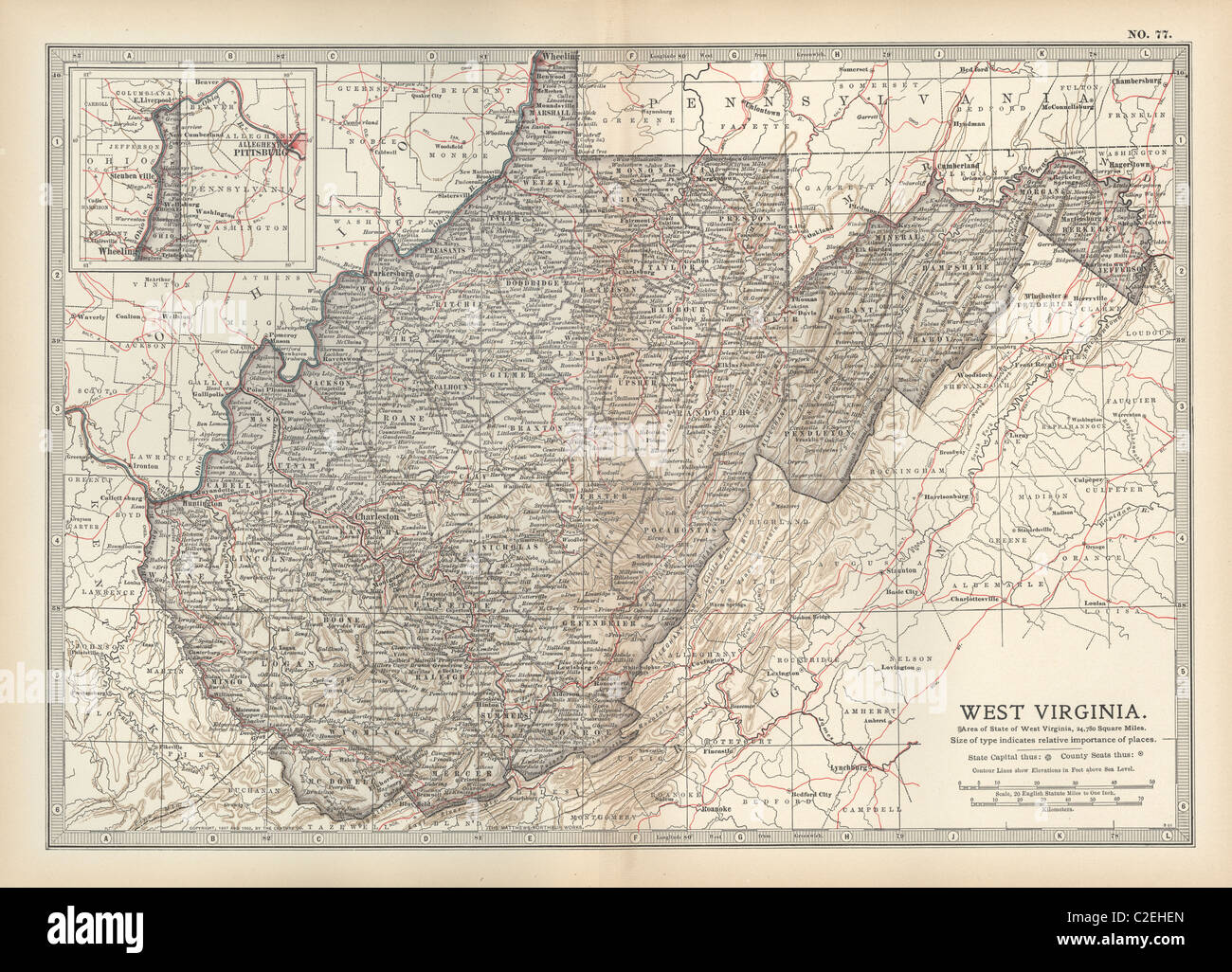 Map of West Virginia Stock Photohttps://www.alamy.com/image-license-details/?v=1https://www.alamy.com/stock-photo-map-of-west-virginia-35971117.html
RMC2EHEN–Map of West Virginia
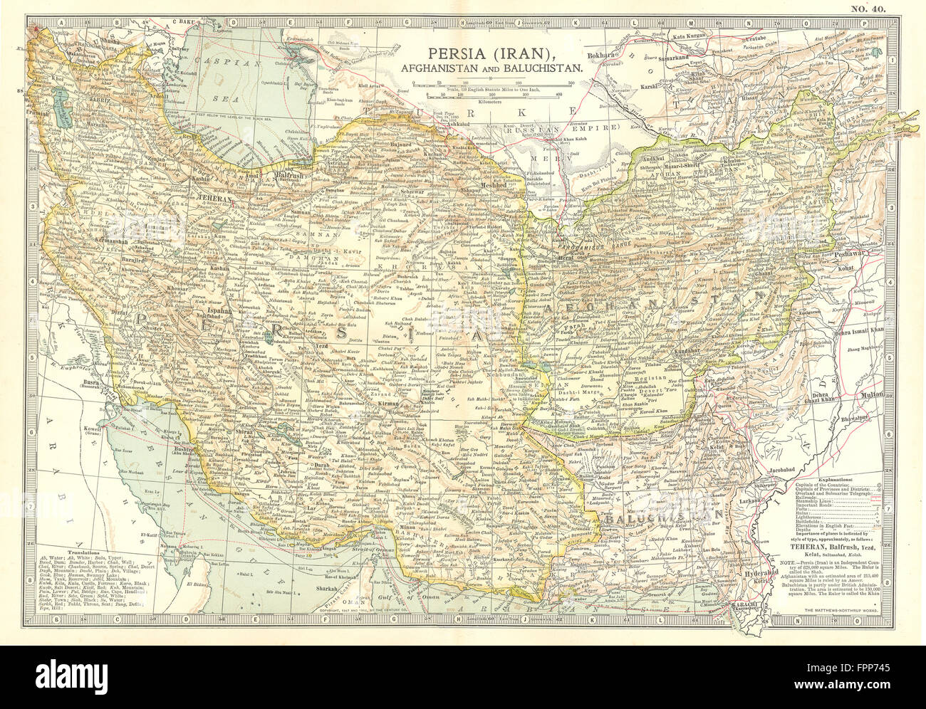 IRAN: Persia Afghanistan & Baluchistan Pakistan, 1903 antique map Stock Photohttps://www.alamy.com/image-license-details/?v=1https://www.alamy.com/stock-photo-iran-persia-afghanistan-baluchistan-pakistan-1903-antique-map-100062821.html
RFFPP745–IRAN: Persia Afghanistan & Baluchistan Pakistan, 1903 antique map
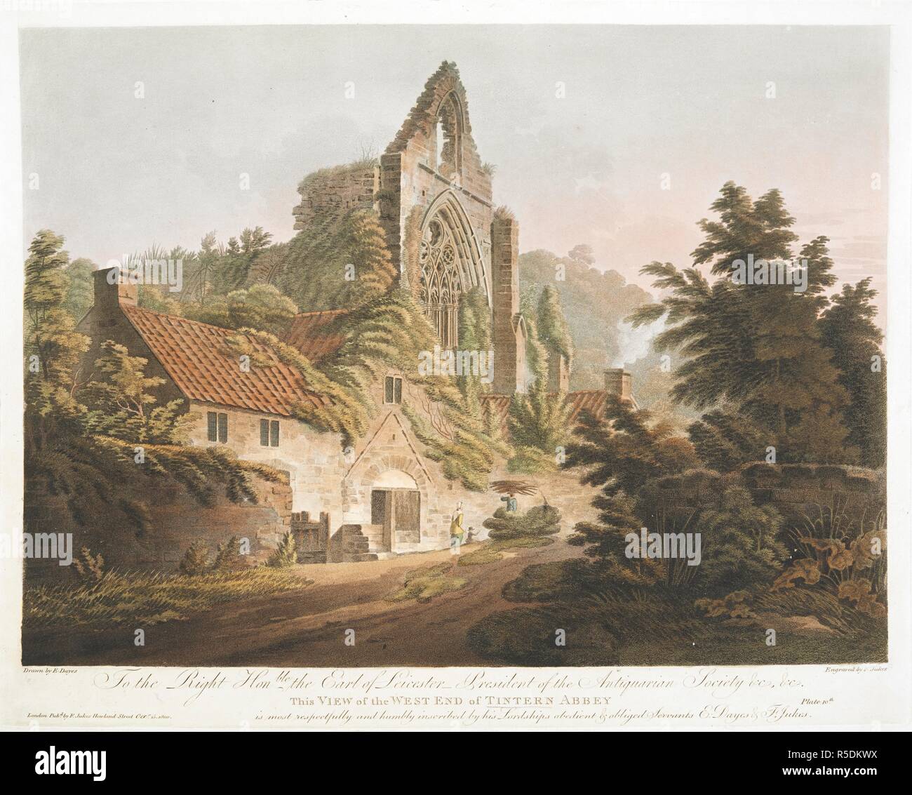 West end of Tintern Abbey. A ruined abbey by a farmhouse; a woman and child in front; a man carrying sticks; foliage and trees throughout the scene. Bears etched inscription 'Plate 10th' in the lower left-hand corner. . ... This view of the west end of Tintern Abbey Drawn by E. Dayes ; Engraved by F. Jukes. London : Pubd by F. Jukes Howland Street, Octr 15 1800. 1 print : aquatint and etching with hand-colouring ; plate 36.4 x 46.2 cm, on sheet 42.4 x 55.9 cm. Source: Maps.K.Top.31.16.h. Stock Photohttps://www.alamy.com/image-license-details/?v=1https://www.alamy.com/west-end-of-tintern-abbey-a-ruined-abbey-by-a-farmhouse-a-woman-and-child-in-front-a-man-carrying-sticks-foliage-and-trees-throughout-the-scene-bears-etched-inscription-plate-10th-in-the-lower-left-hand-corner-this-view-of-the-west-end-of-tintern-abbey-drawn-by-e-dayes-engraved-by-f-jukes-london-pubd-by-f-jukes-howland-street-octr-15-1800-1-print-aquatint-and-etching-with-hand-colouring-plate-364-x-462-cm-on-sheet-424-x-559-cm-source-mapsktop3116h-image227109062.html
RMR5DKWX–West end of Tintern Abbey. A ruined abbey by a farmhouse; a woman and child in front; a man carrying sticks; foliage and trees throughout the scene. Bears etched inscription 'Plate 10th' in the lower left-hand corner. . ... This view of the west end of Tintern Abbey Drawn by E. Dayes ; Engraved by F. Jukes. London : Pubd by F. Jukes Howland Street, Octr 15 1800. 1 print : aquatint and etching with hand-colouring ; plate 36.4 x 46.2 cm, on sheet 42.4 x 55.9 cm. Source: Maps.K.Top.31.16.h.
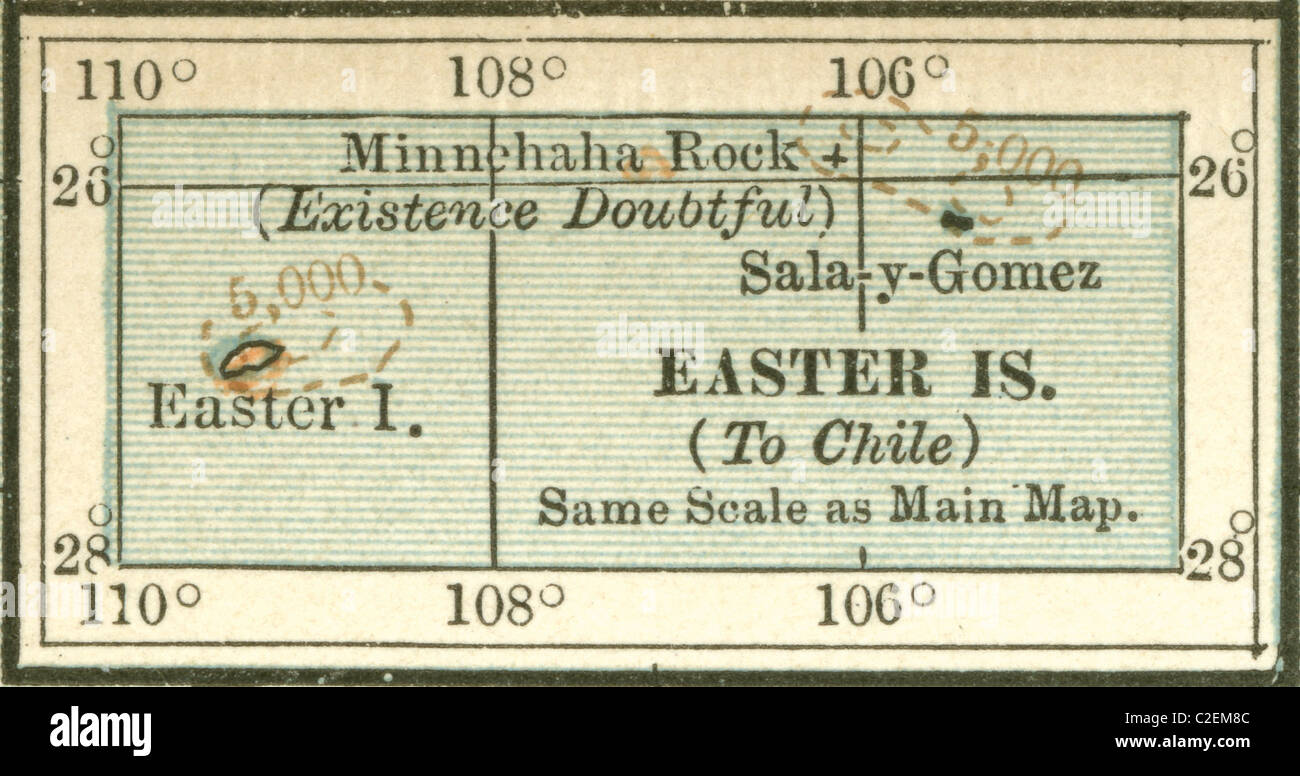 Map of Easter Island Stock Photohttps://www.alamy.com/image-license-details/?v=1https://www.alamy.com/stock-photo-map-of-easter-island-35973292.html
RMC2EM8C–Map of Easter Island
 SOUTH DAKOTA: State map. Shows former counties & 'not in any county', 1903 Stock Photohttps://www.alamy.com/image-license-details/?v=1https://www.alamy.com/stock-photo-south-dakota-state-map-shows-former-counties-not-in-any-county-1903-100098178.html
RFFPRT6X–SOUTH DAKOTA: State map. Shows former counties & 'not in any county', 1903
![A cottage on rocks above a waterfall; figures standing outside; a figure on a rocky path to the right; a cliff face in the distance; trees throughout the scene. SELECT VIEWS of the ISLE of WIGHT, & its ENVIRONS, Plate 10th. View of Mirables, among the Rocks. = VÛES CHOISIES de L'ISLE de WIGHT, & les ENVIRONS. Planche 10me Vûe de Mirables, parmi les Rochers. London : Published Jan 1 1810 James Daniell & Co No480 Strand., [January 1 1810]. Source: Maps K.Top.15.15.k. Language: English and French. Author: Walmsley. Stock Photo A cottage on rocks above a waterfall; figures standing outside; a figure on a rocky path to the right; a cliff face in the distance; trees throughout the scene. SELECT VIEWS of the ISLE of WIGHT, & its ENVIRONS, Plate 10th. View of Mirables, among the Rocks. = VÛES CHOISIES de L'ISLE de WIGHT, & les ENVIRONS. Planche 10me Vûe de Mirables, parmi les Rochers. London : Published Jan 1 1810 James Daniell & Co No480 Strand., [January 1 1810]. Source: Maps K.Top.15.15.k. Language: English and French. Author: Walmsley. Stock Photo](https://c8.alamy.com/comp/R54YYY/a-cottage-on-rocks-above-a-waterfall-figures-standing-outside-a-figure-on-a-rocky-path-to-the-right-a-cliff-face-in-the-distance-trees-throughout-the-scene-select-views-of-the-isle-of-wight-its-environs-plate-10th-view-of-mirables-among-the-rocks-=-ves-choisies-de-lisle-de-wight-les-environs-planche-10me-ve-de-mirables-parmi-les-rochers-london-published-jan-1-1810-james-daniell-co-no480-strand-january-1-1810-source-maps-ktop1515k-language-english-and-french-author-walmsley-R54YYY.jpg) A cottage on rocks above a waterfall; figures standing outside; a figure on a rocky path to the right; a cliff face in the distance; trees throughout the scene. SELECT VIEWS of the ISLE of WIGHT, & its ENVIRONS, Plate 10th. View of Mirables, among the Rocks. = VÛES CHOISIES de L'ISLE de WIGHT, & les ENVIRONS. Planche 10me Vûe de Mirables, parmi les Rochers. London : Published Jan 1 1810 James Daniell & Co No480 Strand., [January 1 1810]. Source: Maps K.Top.15.15.k. Language: English and French. Author: Walmsley. Stock Photohttps://www.alamy.com/image-license-details/?v=1https://www.alamy.com/a-cottage-on-rocks-above-a-waterfall-figures-standing-outside-a-figure-on-a-rocky-path-to-the-right-a-cliff-face-in-the-distance-trees-throughout-the-scene-select-views-of-the-isle-of-wight-its-environs-plate-10th-view-of-mirables-among-the-rocks-=-ves-choisies-de-lisle-de-wight-les-environs-planche-10me-ve-de-mirables-parmi-les-rochers-london-published-jan-1-1810-james-daniell-co-no480-strand-january-1-1810-source-maps-ktop1515k-language-english-and-french-author-walmsley-image226917823.html
A cottage on rocks above a waterfall; figures standing outside; a figure on a rocky path to the right; a cliff face in the distance; trees throughout the scene. SELECT VIEWS of the ISLE of WIGHT, & its ENVIRONS, Plate 10th. View of Mirables, among the Rocks. = VÛES CHOISIES de L'ISLE de WIGHT, & les ENVIRONS. Planche 10me Vûe de Mirables, parmi les Rochers. London : Published Jan 1 1810 James Daniell & Co No480 Strand., [January 1 1810]. Source: Maps K.Top.15.15.k. Language: English and French. Author: Walmsley. Stock Photohttps://www.alamy.com/image-license-details/?v=1https://www.alamy.com/a-cottage-on-rocks-above-a-waterfall-figures-standing-outside-a-figure-on-a-rocky-path-to-the-right-a-cliff-face-in-the-distance-trees-throughout-the-scene-select-views-of-the-isle-of-wight-its-environs-plate-10th-view-of-mirables-among-the-rocks-=-ves-choisies-de-lisle-de-wight-les-environs-planche-10me-ve-de-mirables-parmi-les-rochers-london-published-jan-1-1810-james-daniell-co-no480-strand-january-1-1810-source-maps-ktop1515k-language-english-and-french-author-walmsley-image226917823.htmlRMR54YYY–A cottage on rocks above a waterfall; figures standing outside; a figure on a rocky path to the right; a cliff face in the distance; trees throughout the scene. SELECT VIEWS of the ISLE of WIGHT, & its ENVIRONS, Plate 10th. View of Mirables, among the Rocks. = VÛES CHOISIES de L'ISLE de WIGHT, & les ENVIRONS. Planche 10me Vûe de Mirables, parmi les Rochers. London : Published Jan 1 1810 James Daniell & Co No480 Strand., [January 1 1810]. Source: Maps K.Top.15.15.k. Language: English and French. Author: Walmsley.
 Map of Glasgow and Edinburgh Stock Photohttps://www.alamy.com/image-license-details/?v=1https://www.alamy.com/stock-photo-map-of-glasgow-and-edinburgh-35972227.html
RMC2EJXB–Map of Glasgow and Edinburgh
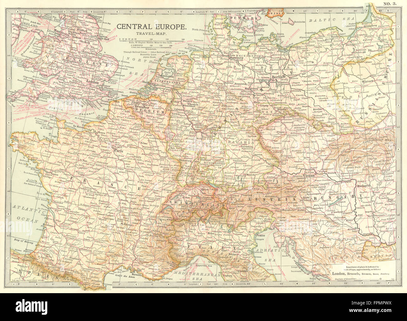 EUROPE: Central Europe travel map. Railroads steamships, 1903 Stock Photohttps://www.alamy.com/image-license-details/?v=1https://www.alamy.com/stock-photo-europe-central-europe-travel-map-railroads-steamships-1903-100031286.html
RFFPMPWX–EUROPE: Central Europe travel map. Railroads steamships, 1903
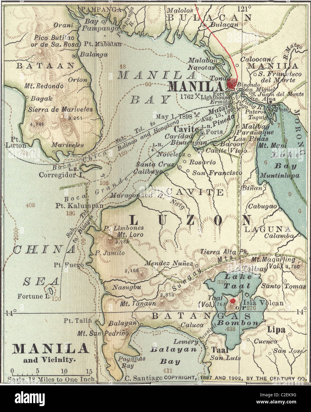 Map of Manila Stock Photohttps://www.alamy.com/image-license-details/?v=1https://www.alamy.com/stock-photo-map-of-manila-35972540.html
RMC2EK9G–Map of Manila
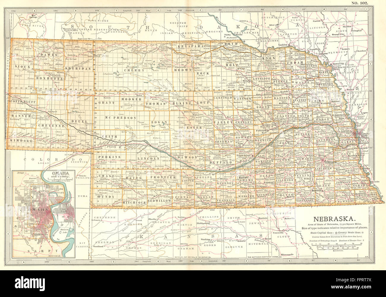 NEBRASKA: State map showing counties. Inset Omaha & area. Britannica, 1903 Stock Photohttps://www.alamy.com/image-license-details/?v=1https://www.alamy.com/stock-photo-nebraska-state-map-showing-counties-inset-omaha-area-britannica-1903-100098206.html
RFFPRT7X–NEBRASKA: State map showing counties. Inset Omaha & area. Britannica, 1903
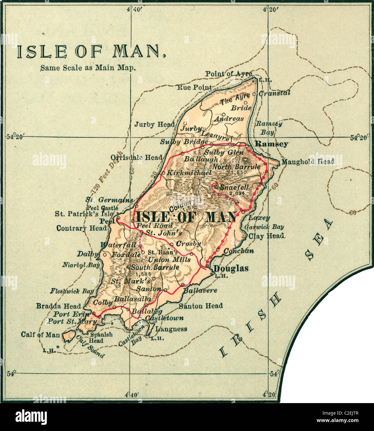 Map of the Isle of Man Stock Photohttps://www.alamy.com/image-license-details/?v=1https://www.alamy.com/stock-photo-map-of-the-isle-of-man-35972183.html
RMC2EJTR–Map of the Isle of Man
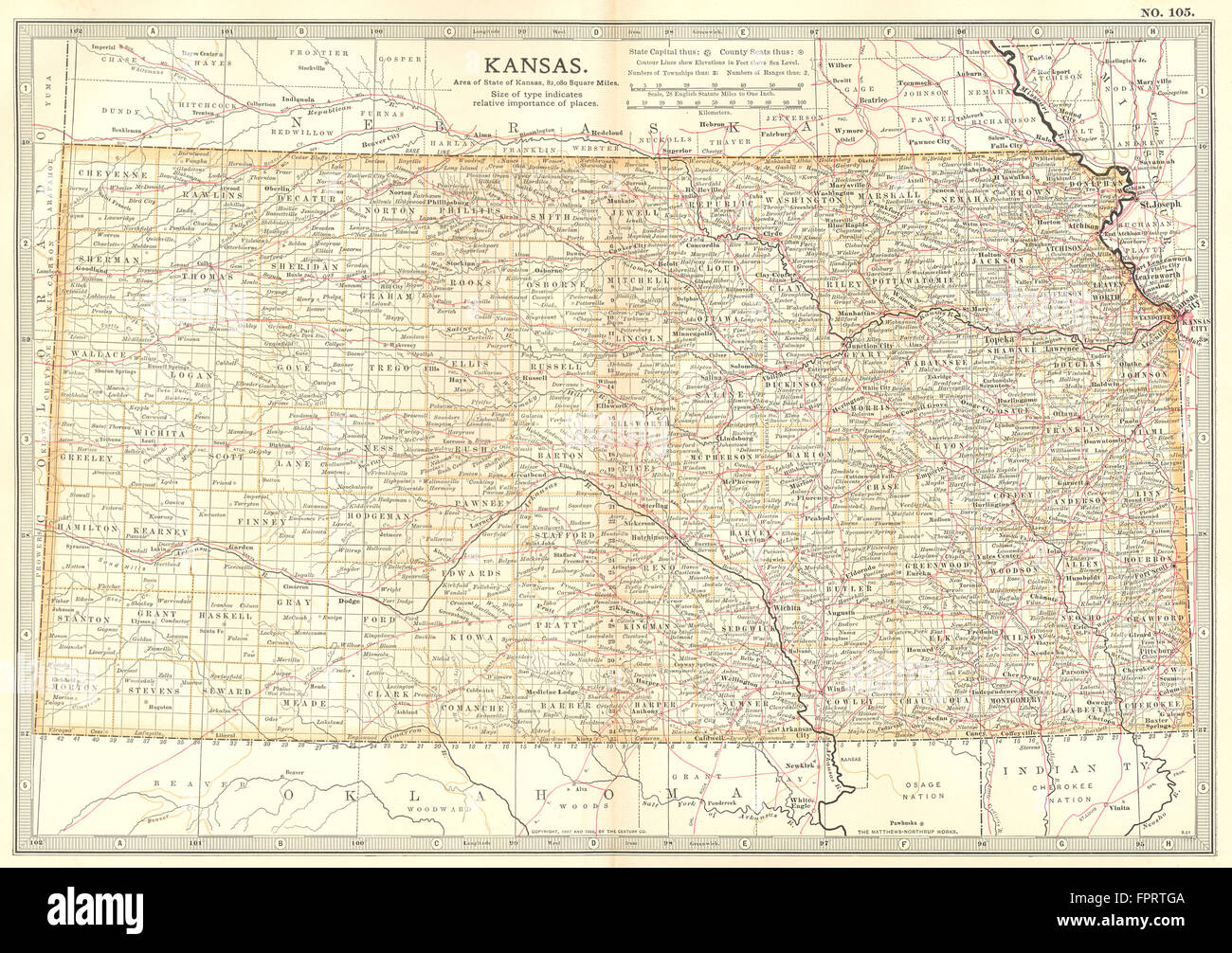 KANSAS: State map showing counties & Indian reservations. Britannica, 1903 Stock Photohttps://www.alamy.com/image-license-details/?v=1https://www.alamy.com/stock-photo-kansas-state-map-showing-counties-indian-reservations-britannica-1903-100098442.html
RFFPRTGA–KANSAS: State map showing counties & Indian reservations. Britannica, 1903
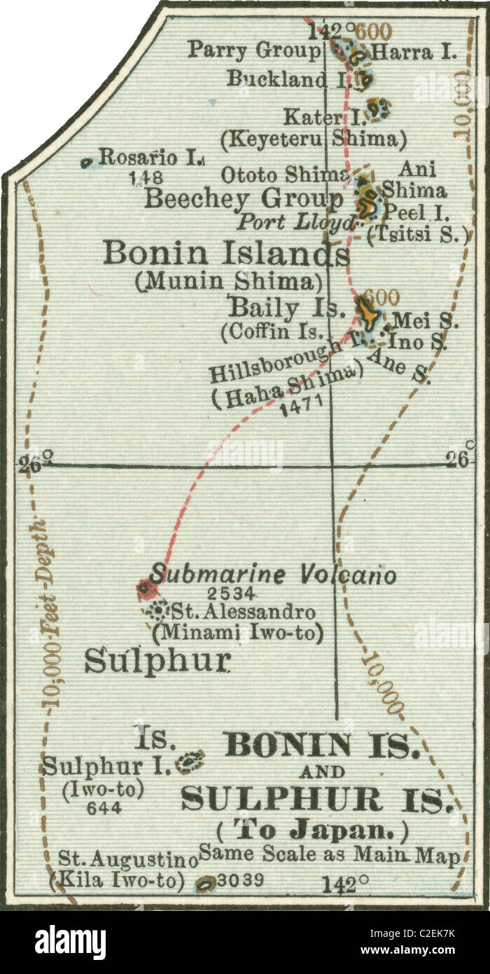 Map of Bonin Islands and Sulphur Islands Stock Photohttps://www.alamy.com/image-license-details/?v=1https://www.alamy.com/stock-photo-map-of-bonin-islands-and-sulphur-islands-35972487.html
RMC2EK7K–Map of Bonin Islands and Sulphur Islands
 LONDON & VICINITY:Thames valley. Middlesex Surrey Buckinghamshire, 1903 map Stock Photohttps://www.alamy.com/image-license-details/?v=1https://www.alamy.com/stock-photo-london-vicinitythames-valley-middlesex-surrey-buckinghamshire-1903-100033671.html
RFFPMWY3–LONDON & VICINITY:Thames valley. Middlesex Surrey Buckinghamshire, 1903 map
 Map of Arizona and New Mexico Stock Photohttps://www.alamy.com/image-license-details/?v=1https://www.alamy.com/stock-photo-map-of-arizona-and-new-mexico-35971845.html
RMC2EJCN–Map of Arizona and New Mexico
 NORTH DAKOTA: State map.Shows counties & Indian reservations.Britannica 1903 Stock Photohttps://www.alamy.com/image-license-details/?v=1https://www.alamy.com/stock-photo-north-dakota-state-mapshows-counties-indian-reservationsbritannica-100098175.html
RFFPRT6R–NORTH DAKOTA: State map.Shows counties & Indian reservations.Britannica 1903
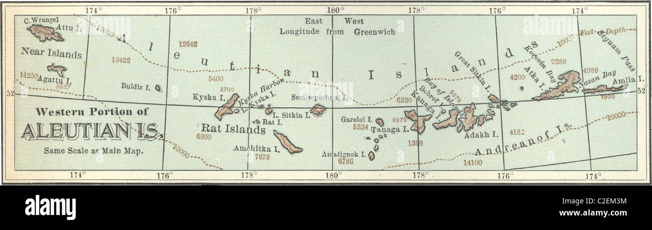 Map of the western portion of the Aleutian Islands Stock Photohttps://www.alamy.com/image-license-details/?v=1https://www.alamy.com/stock-photo-map-of-the-western-portion-of-the-aleutian-islands-35973160.html
RMC2EM3M–Map of the western portion of the Aleutian Islands
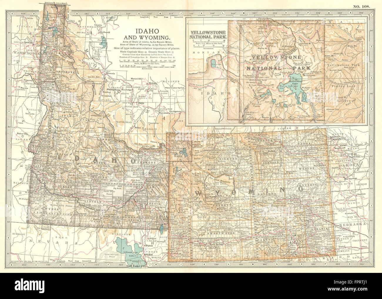 IDAHO & WYOMING: State map showing counties. Inset Yellowstone Park, 1903 Stock Photohttps://www.alamy.com/image-license-details/?v=1https://www.alamy.com/stock-photo-idaho-wyoming-state-map-showing-counties-inset-yellowstone-park-1903-100098489.html
RFFPRTJ1–IDAHO & WYOMING: State map showing counties. Inset Yellowstone Park, 1903
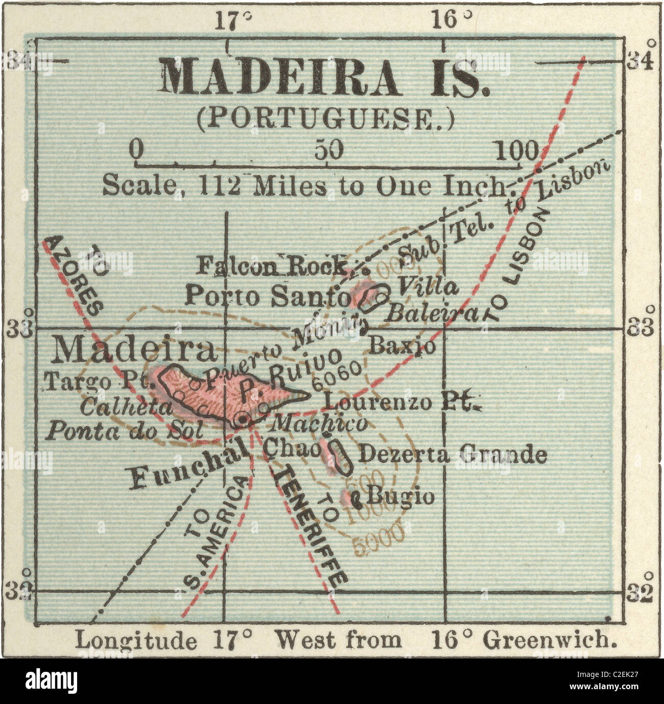 Map of Madeira Island Stock Photohttps://www.alamy.com/image-license-details/?v=1https://www.alamy.com/stock-photo-map-of-madeira-island-35972335.html
RMC2EK27–Map of Madeira Island
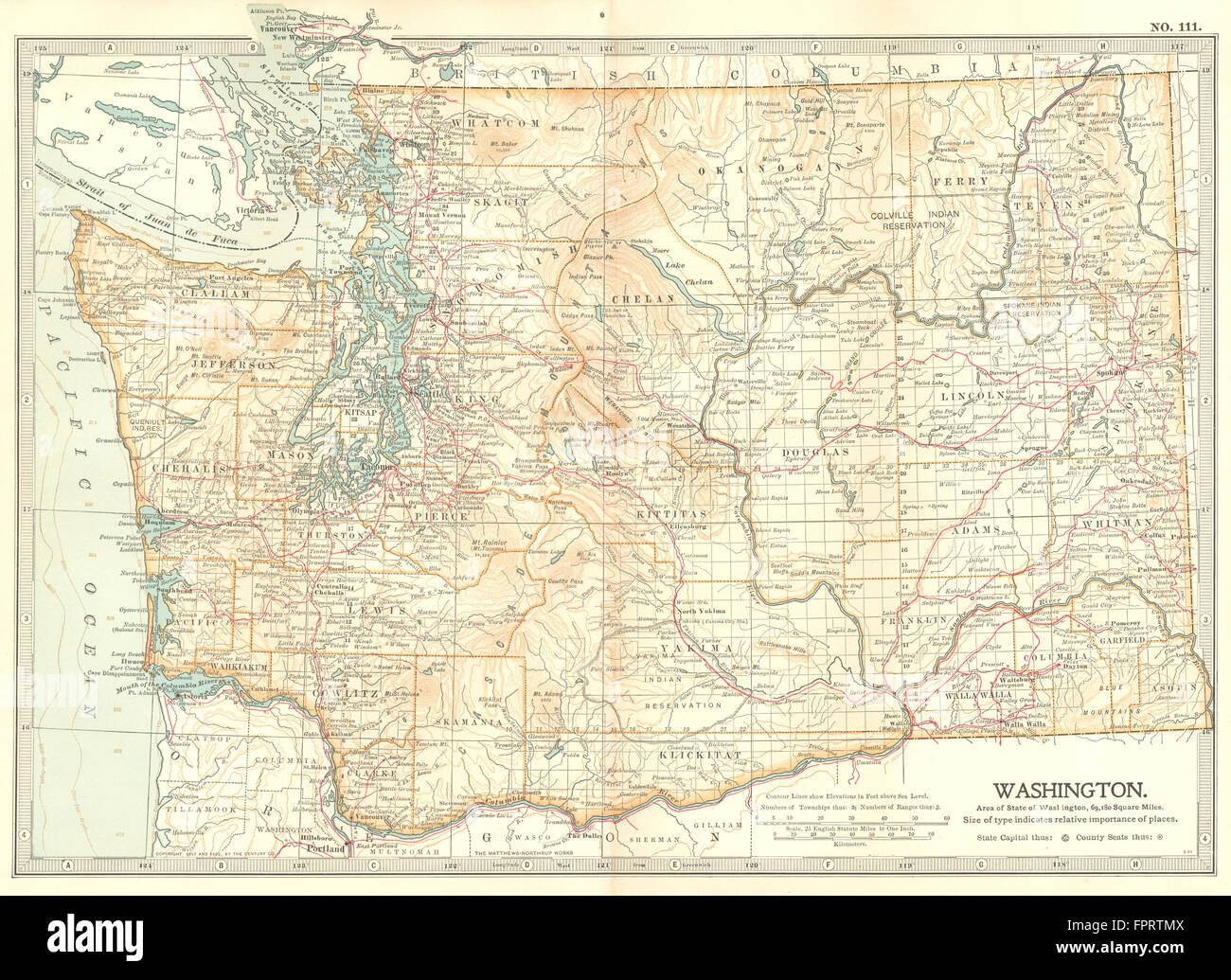 WASHINGTON STATE: Showing counties & Indian reservations. Britannica, 1903 map Stock Photohttps://www.alamy.com/image-license-details/?v=1https://www.alamy.com/stock-photo-washington-state-showing-counties-indian-reservations-britannica-1903-100098570.html
RFFPRTMX–WASHINGTON STATE: Showing counties & Indian reservations. Britannica, 1903 map
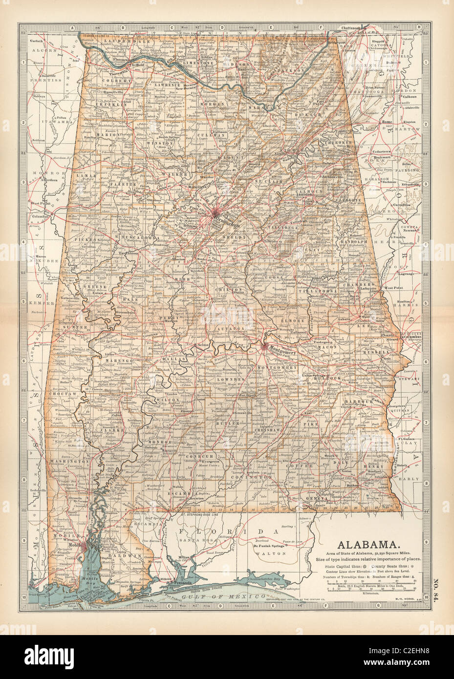 Map of Alabama Stock Photohttps://www.alamy.com/image-license-details/?v=1https://www.alamy.com/stock-photo-map-of-alabama-35971300.html
RMC2EHN8–Map of Alabama
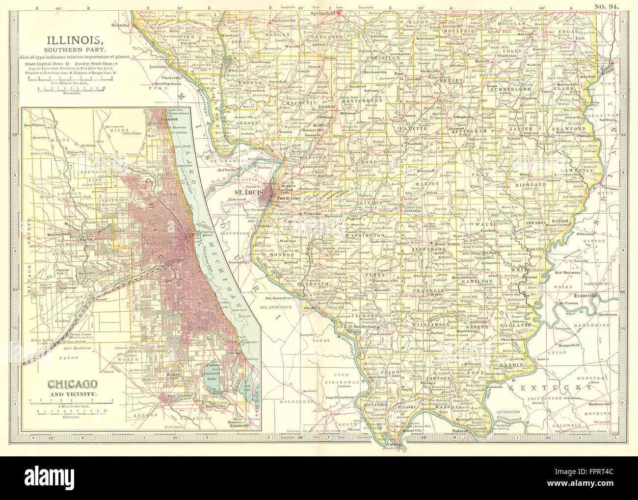 ILLINOIS SOUTH: Showing counties. Inset Chicago & area. Britannica., 1903 map Stock Photohttps://www.alamy.com/image-license-details/?v=1https://www.alamy.com/stock-photo-illinois-south-showing-counties-inset-chicago-area-britannica-1903-100098108.html
RFFPRT4C–ILLINOIS SOUTH: Showing counties. Inset Chicago & area. Britannica., 1903 map
 Map of Mississippi Stock Photohttps://www.alamy.com/image-license-details/?v=1https://www.alamy.com/stock-photo-map-of-mississippi-35971315.html
RMC2EHNR–Map of Mississippi
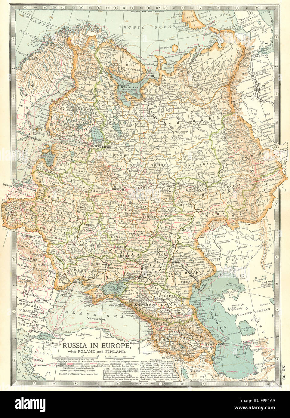 RUSSIA: In Europe with Poland & Finland; Caucasus, Georgia, Ukraine, 1903 map Stock Photohttps://www.alamy.com/image-license-details/?v=1https://www.alamy.com/stock-photo-russia-in-europe-with-poland-finland-caucasus-georgia-ukraine-1903-100060641.html
RFFPP4A9–RUSSIA: In Europe with Poland & Finland; Caucasus, Georgia, Ukraine, 1903 map
