Quick filters:
1500s england map Stock Photos and Images
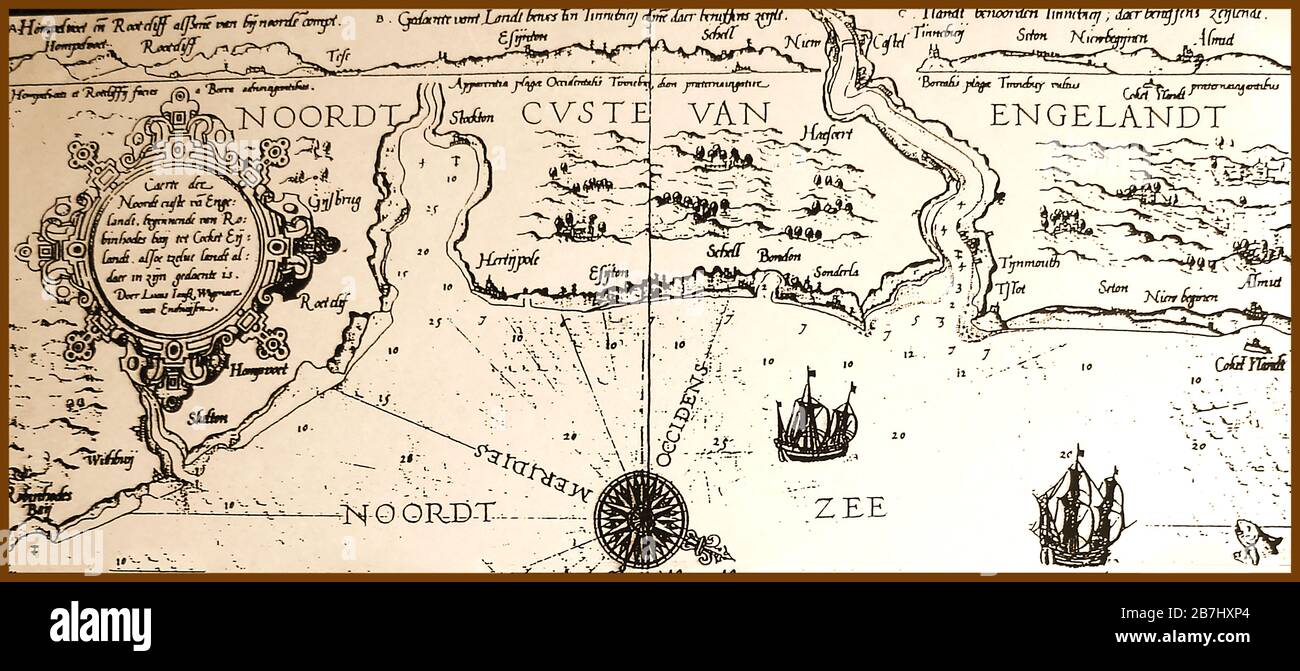 1584 - The earliest known map showing the North-east coast of England from Robin Hoods Bay (left) to Coquet Island. Many place names have different spellings or are difficult to place with their modern counterparts Stock Photohttps://www.alamy.com/image-license-details/?v=1https://www.alamy.com/1584-the-earliest-known-map-showing-the-north-east-coast-of-england-from-robin-hoods-bay-left-to-coquet-island-many-place-names-have-different-spellings-or-are-difficult-to-place-with-their-modern-counterparts-image348904140.html
RM2B7HXP4–1584 - The earliest known map showing the North-east coast of England from Robin Hoods Bay (left) to Coquet Island. Many place names have different spellings or are difficult to place with their modern counterparts
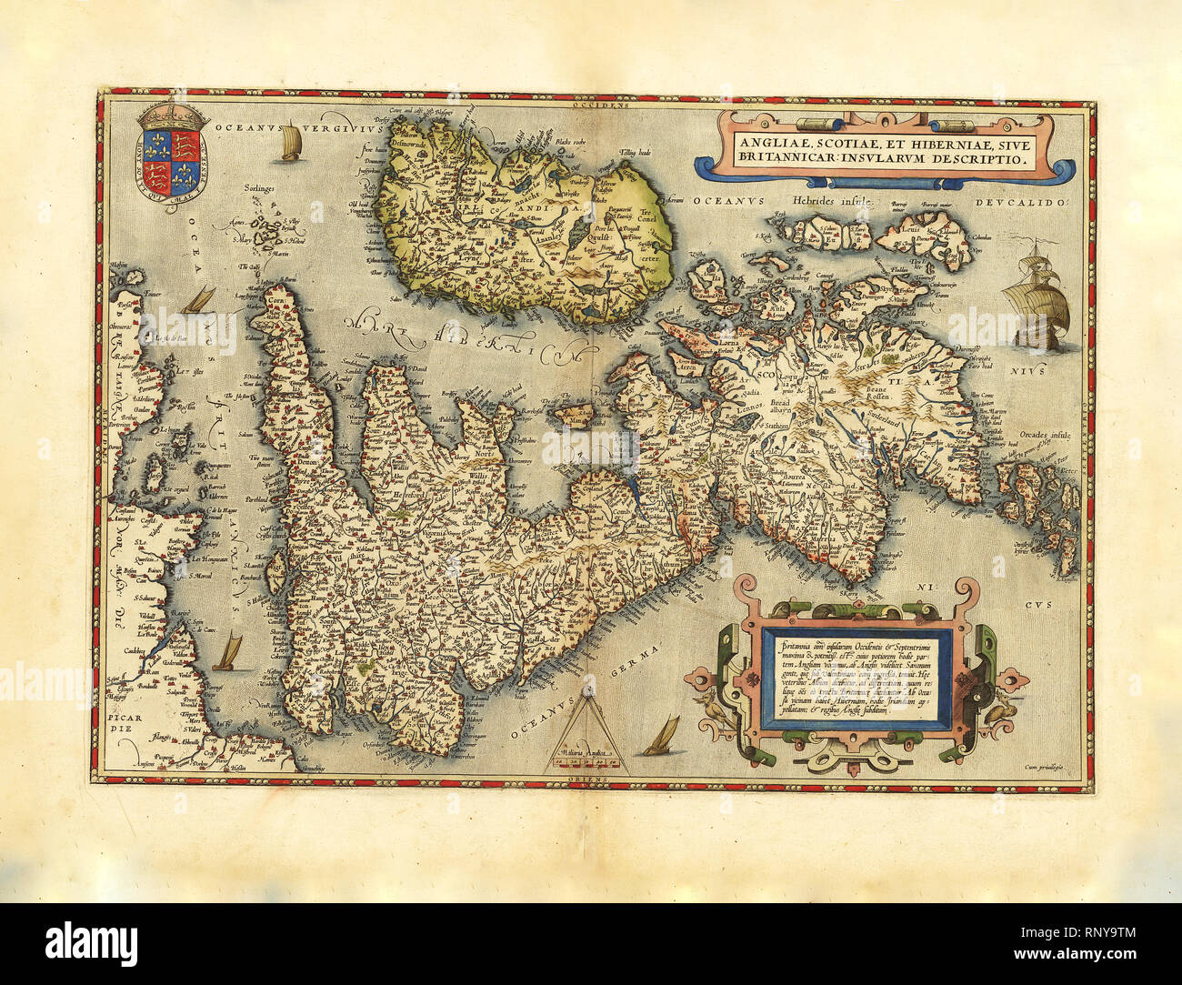 Abraham Ortelius - First World Atlas ca. 1570 - Anglia. Scotia. Hibernia Stock Photohttps://www.alamy.com/image-license-details/?v=1https://www.alamy.com/abraham-ortelius-first-world-atlas-ca-1570-anglia-scotia-hibernia-image237243012.html
RMRNY9TM–Abraham Ortelius - First World Atlas ca. 1570 - Anglia. Scotia. Hibernia
 Kaart van de noordkust van Engeland bij Newcastle upon Tyne (1580-1583) by Joannes van Doetechum (I). Map of Northern Coast of England. Stock Photohttps://www.alamy.com/image-license-details/?v=1https://www.alamy.com/kaart-van-de-noordkust-van-engeland-bij-newcastle-upon-tyne-1580-1583-by-joannes-van-doetechum-i-map-of-northern-coast-of-england-image444898624.html
RM2GRPTMG–Kaart van de noordkust van Engeland bij Newcastle upon Tyne (1580-1583) by Joannes van Doetechum (I). Map of Northern Coast of England.
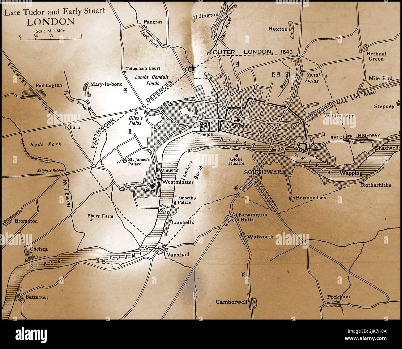 An old map showing the City of London in late Tudor & early Stuart time 1500s - early 1700s Stock Photohttps://www.alamy.com/image-license-details/?v=1https://www.alamy.com/an-old-map-showing-the-city-of-london-in-late-tudor-early-stuart-time-1500s-early-1700s-image476525402.html
RM2JK7H0A–An old map showing the City of London in late Tudor & early Stuart time 1500s - early 1700s
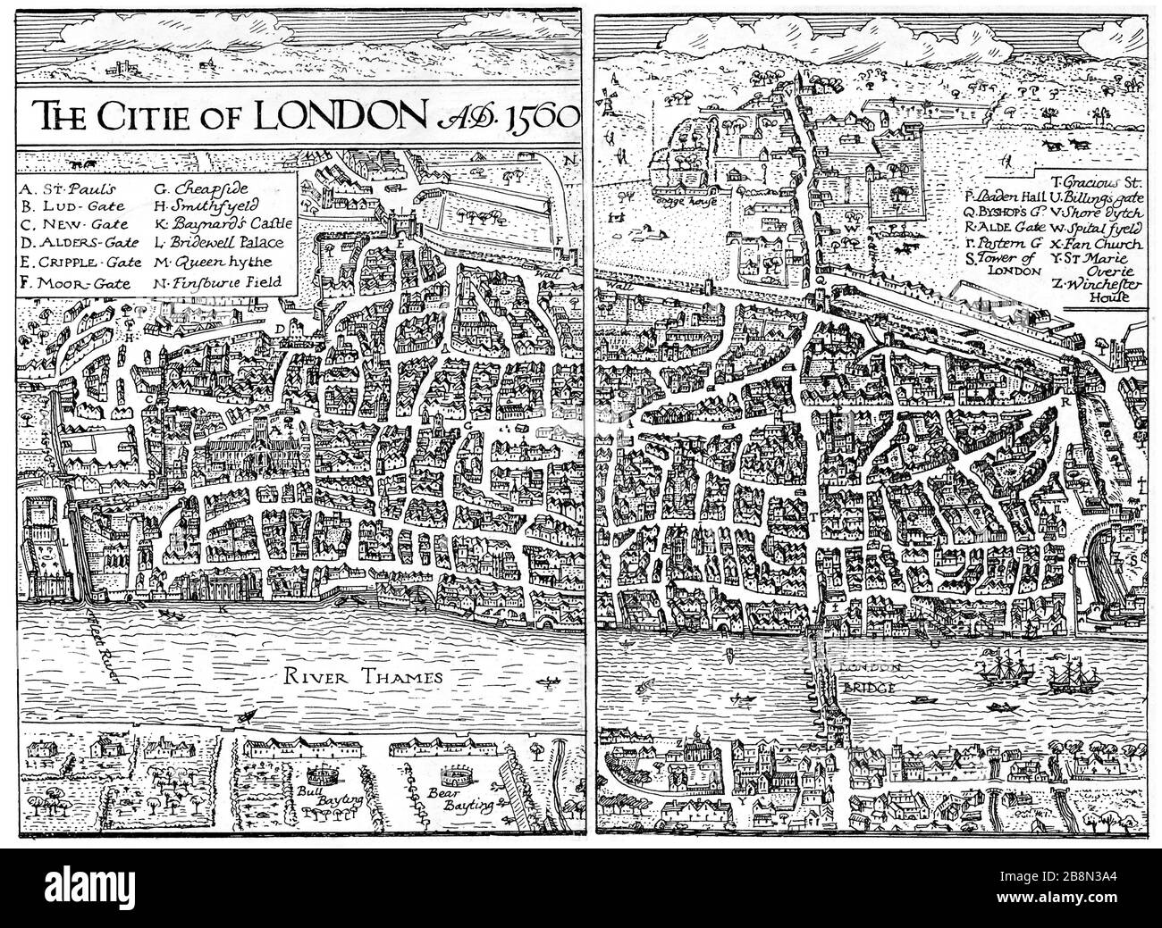 The City of London, 1560. A map of Elizabethan London. Stock Photohttps://www.alamy.com/image-license-details/?v=1https://www.alamy.com/the-city-of-london-1560-a-map-of-elizabethan-london-image349588236.html
RM2B8N3A4–The City of London, 1560. A map of Elizabethan London.
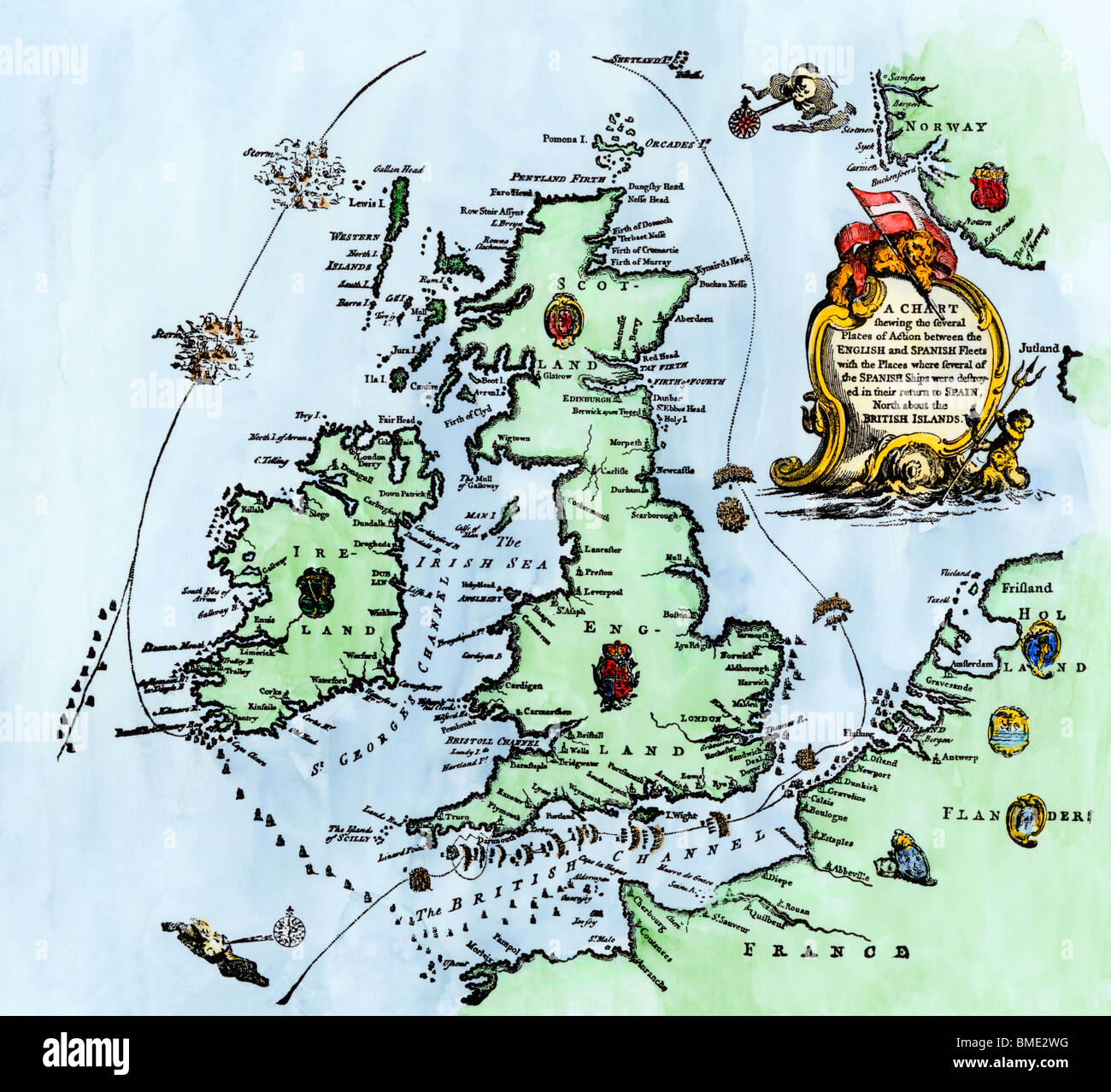 Chart of the Spanish Armada's course, 1588. Hand-colored woodcut Stock Photohttps://www.alamy.com/image-license-details/?v=1https://www.alamy.com/stock-photo-chart-of-the-spanish-armadas-course-1588-hand-colored-woodcut-29813100.html
RMBME2WG–Chart of the Spanish Armada's course, 1588. Hand-colored woodcut
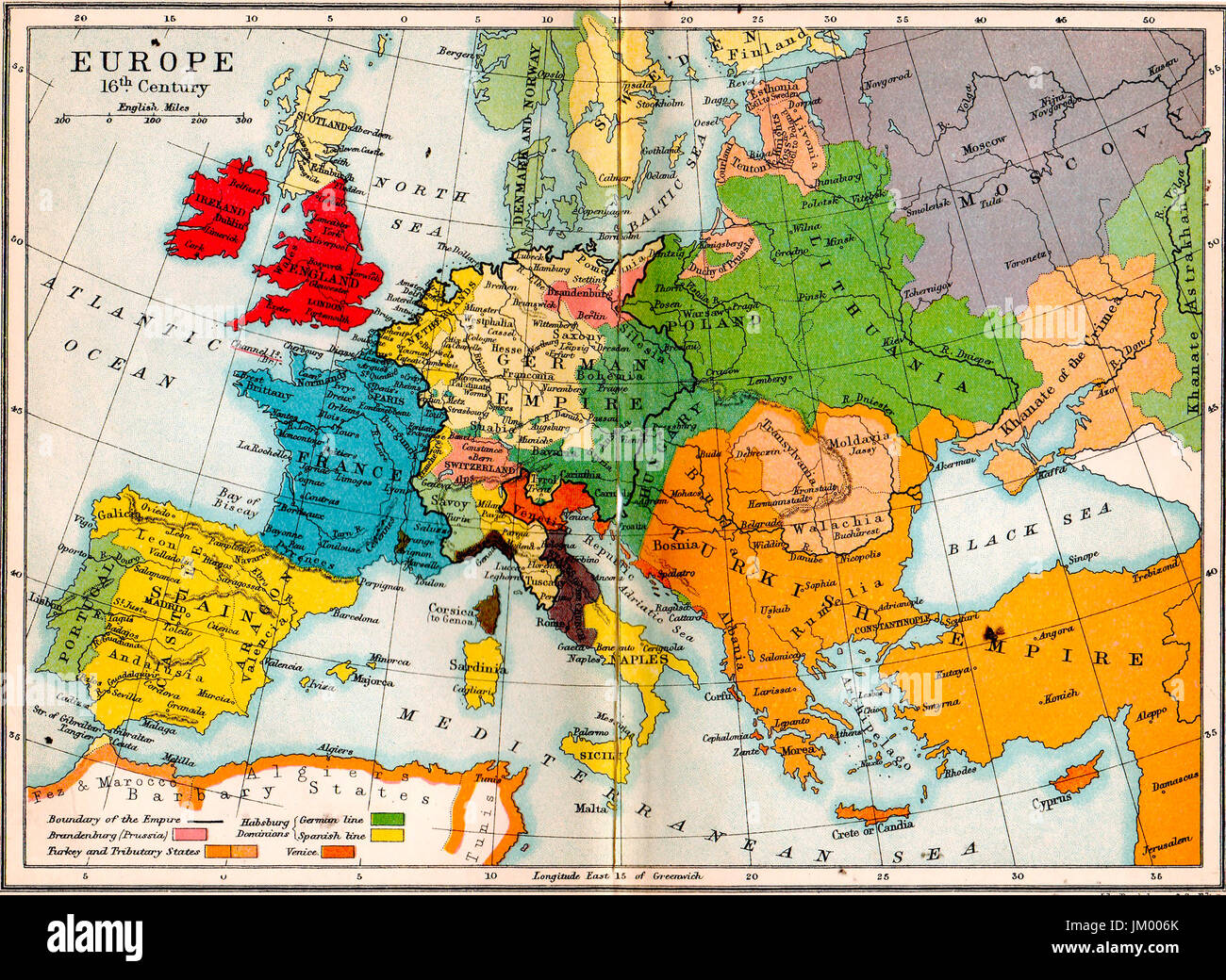 Old school atlas map- Europe in 16th century Stock Photohttps://www.alamy.com/image-license-details/?v=1https://www.alamy.com/stock-photo-old-school-atlas-map-europe-in-16th-century-149976251.html
RMJM006K–Old school atlas map- Europe in 16th century
 A map of the Arctic compiled by Dutch navigator and explorer William Barents (c.1550-1597), who attempted to find the Northeast Passage from the Atlantic to the Pacific on several expeditions. Barents died in June 1597, trapped in pack ice off the coast o Stock Photohttps://www.alamy.com/image-license-details/?v=1https://www.alamy.com/stock-photo-a-map-of-the-arctic-compiled-by-dutch-navigator-and-explorer-william-104003421.html
RMG15NBW–A map of the Arctic compiled by Dutch navigator and explorer William Barents (c.1550-1597), who attempted to find the Northeast Passage from the Atlantic to the Pacific on several expeditions. Barents died in June 1597, trapped in pack ice off the coast o
 Plan of part of the City of Westminster, taken from Agas' Map of London, Civitas Londinium, 1578. Possibly by Ralph Agas (c1540-1621). This view of the Thames also features Westminster Abbey and the original Palace of Westminster. Stock Photohttps://www.alamy.com/image-license-details/?v=1https://www.alamy.com/plan-of-part-of-the-city-of-westminster-taken-from-agas-map-of-london-civitas-londinium-1578-possibly-by-ralph-agas-c1540-1621-this-view-of-the-thames-also-features-westminster-abbey-and-the-original-palace-of-westminster-image247321059.html
RMTAACEY–Plan of part of the City of Westminster, taken from Agas' Map of London, Civitas Londinium, 1578. Possibly by Ralph Agas (c1540-1621). This view of the Thames also features Westminster Abbey and the original Palace of Westminster.
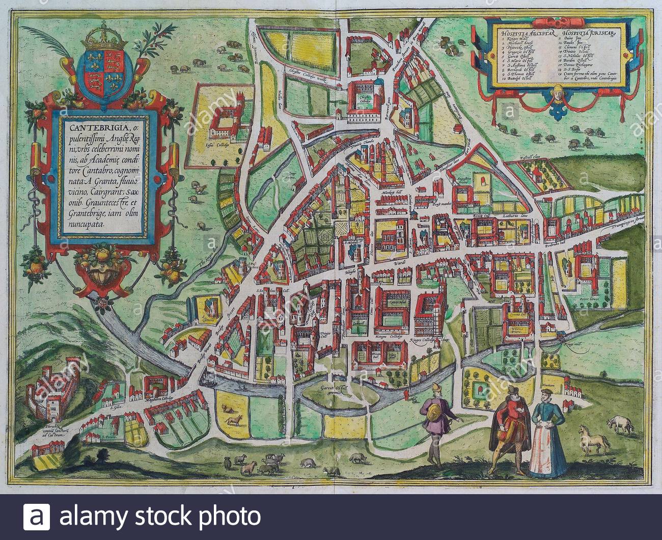 Cambridge, England, vintage map from 1575 Stock Photohttps://www.alamy.com/image-license-details/?v=1https://www.alamy.com/cambridge-england-vintage-map-from-1575-image398089560.html
RM2E3JF88–Cambridge, England, vintage map from 1575
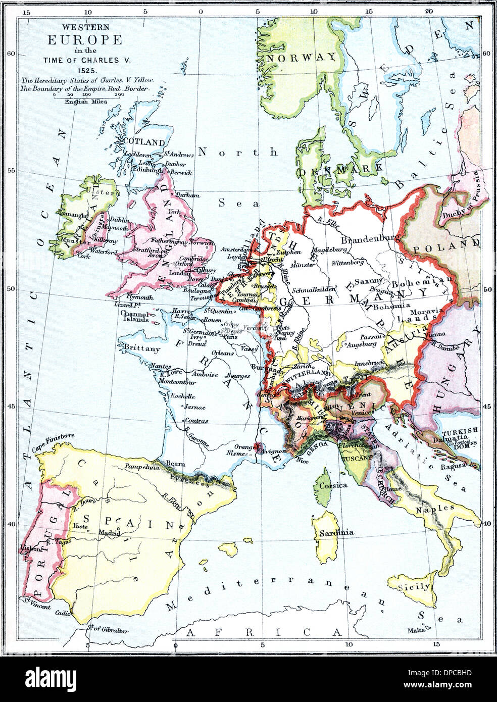 Map of Europe in the time of Charles V, 1525. Stock Photohttps://www.alamy.com/image-license-details/?v=1https://www.alamy.com/map-of-europe-in-the-time-of-charles-v-1525-image65426073.html
RMDPCBHD–Map of Europe in the time of Charles V, 1525.
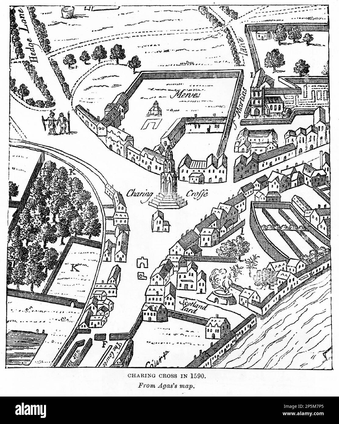 Engraving of Charing Cross, London, in 1590, published, circa 1880 Stock Photohttps://www.alamy.com/image-license-details/?v=1https://www.alamy.com/engraving-of-charing-cross-london-in-1590-published-circa-1880-image537039837.html
RM2P5M7P5–Engraving of Charing Cross, London, in 1590, published, circa 1880
 View of London - The Tower of London, c1554. By Anton van den Wyngaerde (1525-1571). The Tower of London, officially Her Majesty's Royal Palace and Fortress of the Tower of London, was founded towards the end of 1066 as part of the Norman Conquest of England. Stock Photohttps://www.alamy.com/image-license-details/?v=1https://www.alamy.com/view-of-london-the-tower-of-london-c1554-by-anton-van-den-wyngaerde-1525-1571-the-tower-of-london-officially-her-majestys-royal-palace-and-fortress-of-the-tower-of-london-was-founded-towards-the-end-of-1066-as-part-of-the-norman-conquest-of-england-image261851484.html
RMW60A6M–View of London - The Tower of London, c1554. By Anton van den Wyngaerde (1525-1571). The Tower of London, officially Her Majesty's Royal Palace and Fortress of the Tower of London, was founded towards the end of 1066 as part of the Norman Conquest of England.
 Engraved portrait of John Davis (c. 1550 – 1605) one of the chief navigators of Queen Elizabeth I of England. He led several voyages to discover the Northwest Passage and served as pilot and captain on both Dutch and English voyages to the East Indies. He discovered the Falkland Islands in August 1592. Stock Photohttps://www.alamy.com/image-license-details/?v=1https://www.alamy.com/engraved-portrait-of-john-davis-c1550-1605-one-of-the-chief-navigators-of-queen-elizabeth-i-of-england-he-led-several-voyages-to-discover-the-northwest-passage-and-served-as-pilot-and-captain-on-both-dutch-and-english-voyages-to-the-east-indies-he-discovered-the-falkland-islands-in-august-1592-image343576549.html
RM2AXY7B1–Engraved portrait of John Davis (c. 1550 – 1605) one of the chief navigators of Queen Elizabeth I of England. He led several voyages to discover the Northwest Passage and served as pilot and captain on both Dutch and English voyages to the East Indies. He discovered the Falkland Islands in August 1592.
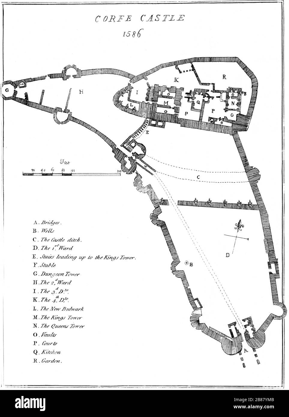 A plan of Corfe Castle, Dorset in 1586 scanned at high resolution from a book published in 1784. This image is believed to be free of all copyright. Stock Photohttps://www.alamy.com/image-license-details/?v=1https://www.alamy.com/a-plan-of-corfe-castle-dorset-in-1586-scanned-at-high-resolution-from-a-book-published-in-1784-this-image-is-believed-to-be-free-of-all-copyright-image349300011.html
RM2B87YMB–A plan of Corfe Castle, Dorset in 1586 scanned at high resolution from a book published in 1784. This image is believed to be free of all copyright.
 Tower of London original diagram survey plan of 1597, vintage engraving from 1876 Stock Photohttps://www.alamy.com/image-license-details/?v=1https://www.alamy.com/stock-photo-tower-of-london-original-diagram-survey-plan-of-1597-vintage-engraving-176236745.html
RMM6M7ND–Tower of London original diagram survey plan of 1597, vintage engraving from 1876
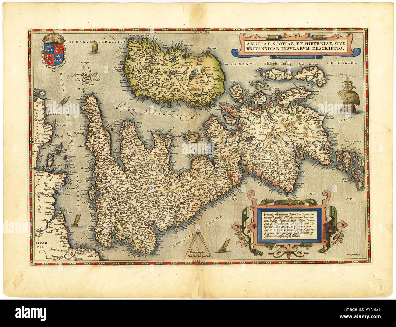 Abraham Ortelius - First World Atlas ca. 1570 - Anglia. Scotia. Hibernia Stock Photohttps://www.alamy.com/image-license-details/?v=1https://www.alamy.com/abraham-ortelius-first-world-atlas-ca-1570-anglia-scotia-hibernia-image223588247.html
RMPYN92F–Abraham Ortelius - First World Atlas ca. 1570 - Anglia. Scotia. Hibernia
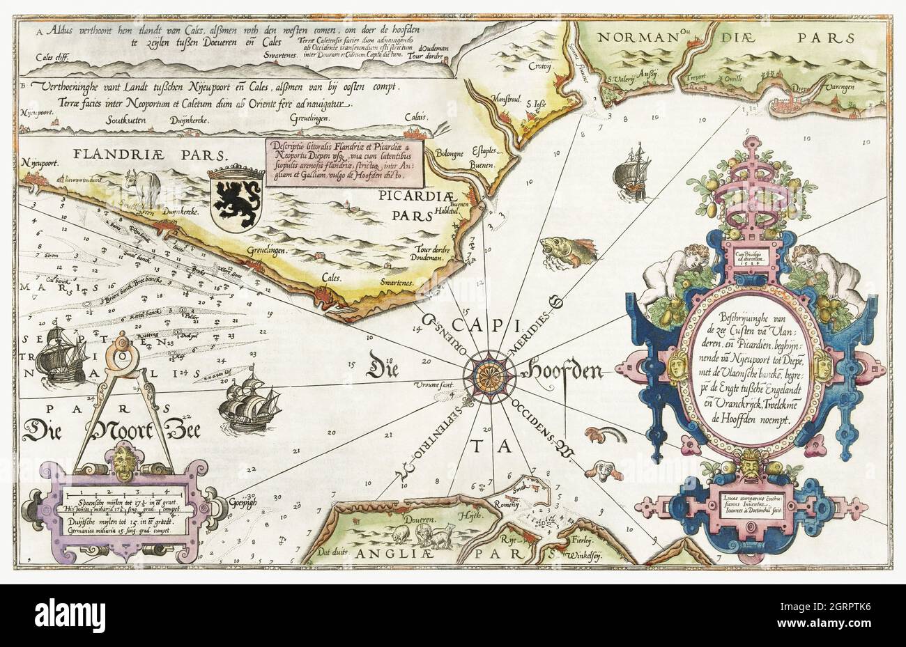 Kaart van de kusten van Vlaanderen, Normandië en Engeland (ca. 1580-1581) by Joannes van Doetechum (I). Old map of the Normandie coast. Stock Photohttps://www.alamy.com/image-license-details/?v=1https://www.alamy.com/kaart-van-de-kusten-van-vlaanderen-normandi-en-engeland-ca-1580-1581-by-joannes-van-doetechum-i-old-map-of-the-normandie-coast-image444898586.html
RM2GRPTK6–Kaart van de kusten van Vlaanderen, Normandië en Engeland (ca. 1580-1581) by Joannes van Doetechum (I). Old map of the Normandie coast.
 Kaart van de Zuidengelse kust tussen de Isle of Wight en Dover (ca. 1580-1583) by Joannes van Doetechum (I). United Kingdom, Great Britain. Stock Photohttps://www.alamy.com/image-license-details/?v=1https://www.alamy.com/kaart-van-de-zuidengelse-kust-tussen-de-isle-of-wight-en-dover-ca-1580-1583-by-joannes-van-doetechum-i-united-kingdom-great-britain-image445550625.html
RF2GTTGA9–Kaart van de Zuidengelse kust tussen de Isle of Wight en Dover (ca. 1580-1583) by Joannes van Doetechum (I). United Kingdom, Great Britain.