1700s map caribbean Stock Photos and Images
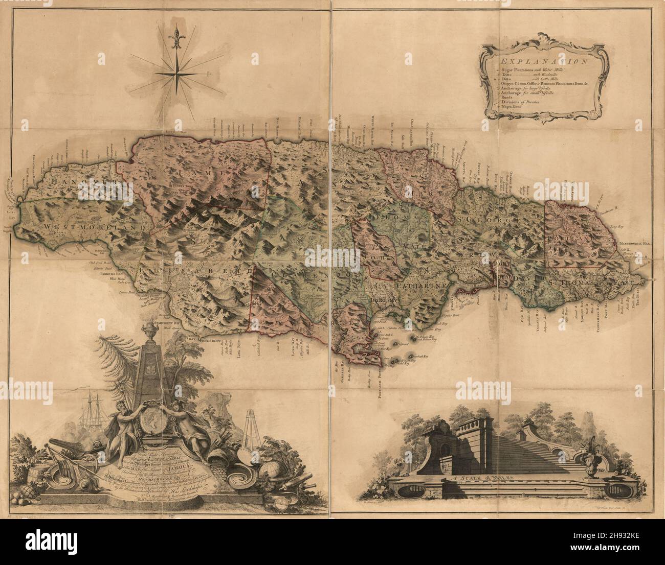 Antique map of the Caribbean island of Jamaica ca. 1763. Stock Photohttps://www.alamy.com/image-license-details/?v=1https://www.alamy.com/antique-map-of-the-caribbean-island-of-jamaica-ca-1763-image453069442.html
RM2H932KE–Antique map of the Caribbean island of Jamaica ca. 1763.
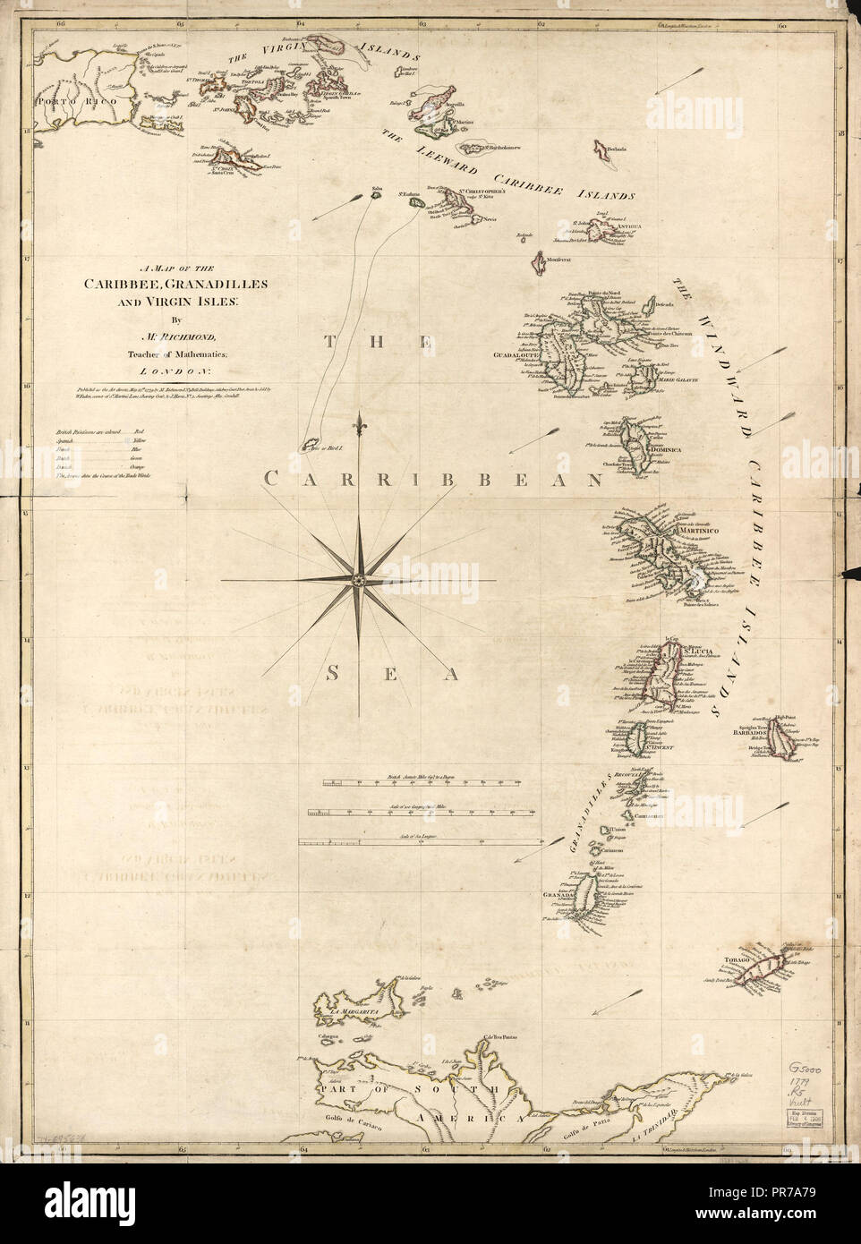 Vintage Maps / Antique Maps - A map of the Caribbean, Granadilles and Virgin Islands ca. 1779 Stock Photohttps://www.alamy.com/image-license-details/?v=1https://www.alamy.com/vintage-maps-antique-maps-a-map-of-the-caribbean-granadilles-and-virgin-islands-ca-1779-image220823213.html
RMPR7A79–Vintage Maps / Antique Maps - A map of the Caribbean, Granadilles and Virgin Islands ca. 1779
 Antique hand colored map of the Caribbean island of Hispaniola called by the French St. Domingo, ca. 1762 Stock Photohttps://www.alamy.com/image-license-details/?v=1https://www.alamy.com/antique-hand-colored-map-of-the-caribbean-island-of-hispaniola-called-by-the-french-st-domingo-ca-1762-image453069497.html
RM2H932ND–Antique hand colored map of the Caribbean island of Hispaniola called by the French St. Domingo, ca. 1762
 English pamphlet with maps of the Caribbean and main Spanish cities in the region, published in 1740 to build public support for the ongoing war against Spain (War of Jenkins' Ear, 1739-1742) and to incite to the conquest of Havana, Cuba . Title: The Seat of WAR in the WEST INDIES, containing New & Accurate Plans of the HAVANA, LA VERA CRUZ, CARTAGENA and PUERTO BELLO (taken from Spanish draughts) also of SAN AUGUSTIN and the Bay of Honda in Cuba Stock Photohttps://www.alamy.com/image-license-details/?v=1https://www.alamy.com/english-pamphlet-with-maps-of-the-caribbean-and-main-spanish-cities-in-the-region-published-in-1740-to-build-public-support-for-the-ongoing-war-against-spain-war-of-jenkins-ear-1739-1742-and-to-incite-to-the-conquest-of-havana-cuba-title-the-seat-of-war-in-the-west-indies-containing-new-accurate-plans-of-the-havana-la-vera-cruz-cartagena-and-puerto-bello-taken-from-spanish-draughts-also-of-san-augustin-and-the-bay-of-honda-in-cuba-image463814968.html
RM2HXGGM8–English pamphlet with maps of the Caribbean and main Spanish cities in the region, published in 1740 to build public support for the ongoing war against Spain (War of Jenkins' Ear, 1739-1742) and to incite to the conquest of Havana, Cuba . Title: The Seat of WAR in the WEST INDIES, containing New & Accurate Plans of the HAVANA, LA VERA CRUZ, CARTAGENA and PUERTO BELLO (taken from Spanish draughts) also of SAN AUGUSTIN and the Bay of Honda in Cuba
 Plan of the town and fort of Grenada circa 1762, inset shows map of the island of Grenada, West Indies Stock Photohttps://www.alamy.com/image-license-details/?v=1https://www.alamy.com/plan-of-the-town-and-fort-of-grenada-circa-1762-inset-shows-map-of-the-island-of-grenada-west-indies-image629355204.html
RM2YFWGYG–Plan of the town and fort of Grenada circa 1762, inset shows map of the island of Grenada, West Indies
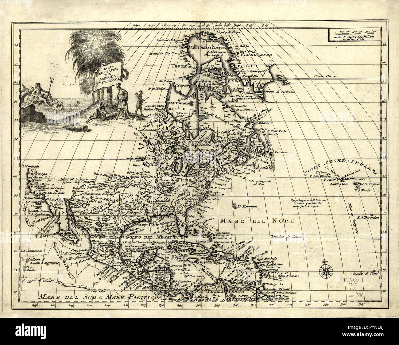 Vintage Maps / Antique Maps - Covers area including North America, Central America and the Caribbean Islands. Shows boundaries, cities and towns, forts, some trails, routes of exploration, and Indian villages and tribal territory. Stock Photohttps://www.alamy.com/image-license-details/?v=1https://www.alamy.com/vintage-maps-antique-maps-covers-area-including-north-america-central-america-and-the-caribbean-islands-shows-boundaries-cities-and-towns-forts-some-trails-routes-of-exploration-and-indian-villages-and-tribal-territory-image223592338.html
RMPYNE8J–Vintage Maps / Antique Maps - Covers area including North America, Central America and the Caribbean Islands. Shows boundaries, cities and towns, forts, some trails, routes of exploration, and Indian villages and tribal territory.
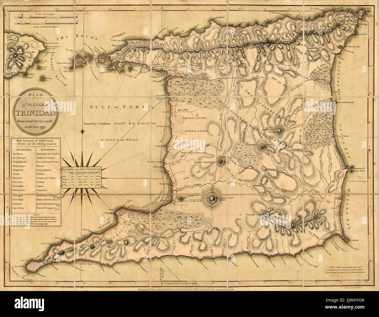 Plan of the Island of Trinidad made from actual surveys made in the year 1797 Stock Photohttps://www.alamy.com/image-license-details/?v=1https://www.alamy.com/plan-of-the-island-of-trinidad-made-from-actual-surveys-made-in-the-year-1797-image480441159.html
RM2JWHYGR–Plan of the Island of Trinidad made from actual surveys made in the year 1797
 Map of the Gulf of Mexico and the American Islands: to be used in the general history of travel. Jacques Nicolas Bellin, , 1703-1772 Stock Photohttps://www.alamy.com/image-license-details/?v=1https://www.alamy.com/map-of-the-gulf-of-mexico-and-the-american-islands-to-be-used-in-the-general-history-of-travel-jacques-nicolas-bellin-1703-1772-image610922701.html
RM2XDWX3W–Map of the Gulf of Mexico and the American Islands: to be used in the general history of travel. Jacques Nicolas Bellin, , 1703-1772
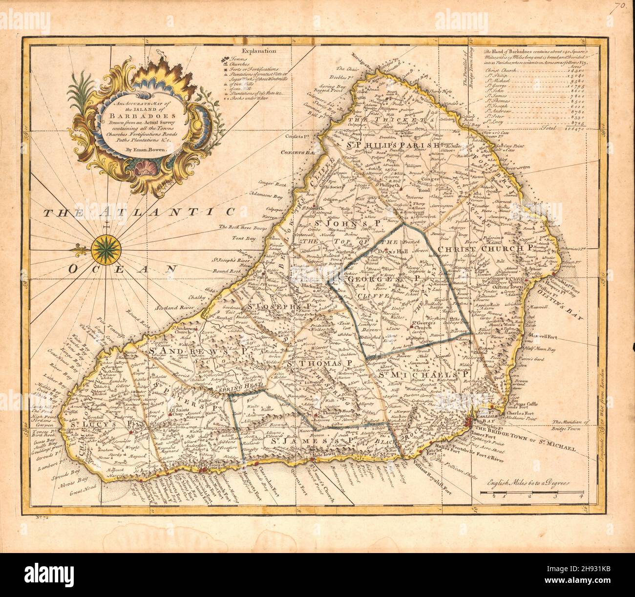 Nineteenth century map of the island of Barbados, ca. 1752 Stock Photohttps://www.alamy.com/image-license-details/?v=1https://www.alamy.com/nineteenth-century-map-of-the-island-of-barbados-ca-1752-image453068655.html
RM2H931KB–Nineteenth century map of the island of Barbados, ca. 1752
 Map of the West Indies, 1796, by Amos Doolittle Stock Photohttps://www.alamy.com/image-license-details/?v=1https://www.alamy.com/map-of-the-west-indies-1796-by-amos-doolittle-image474926283.html
RF2JGJN8Y–Map of the West Indies, 1796, by Amos Doolittle
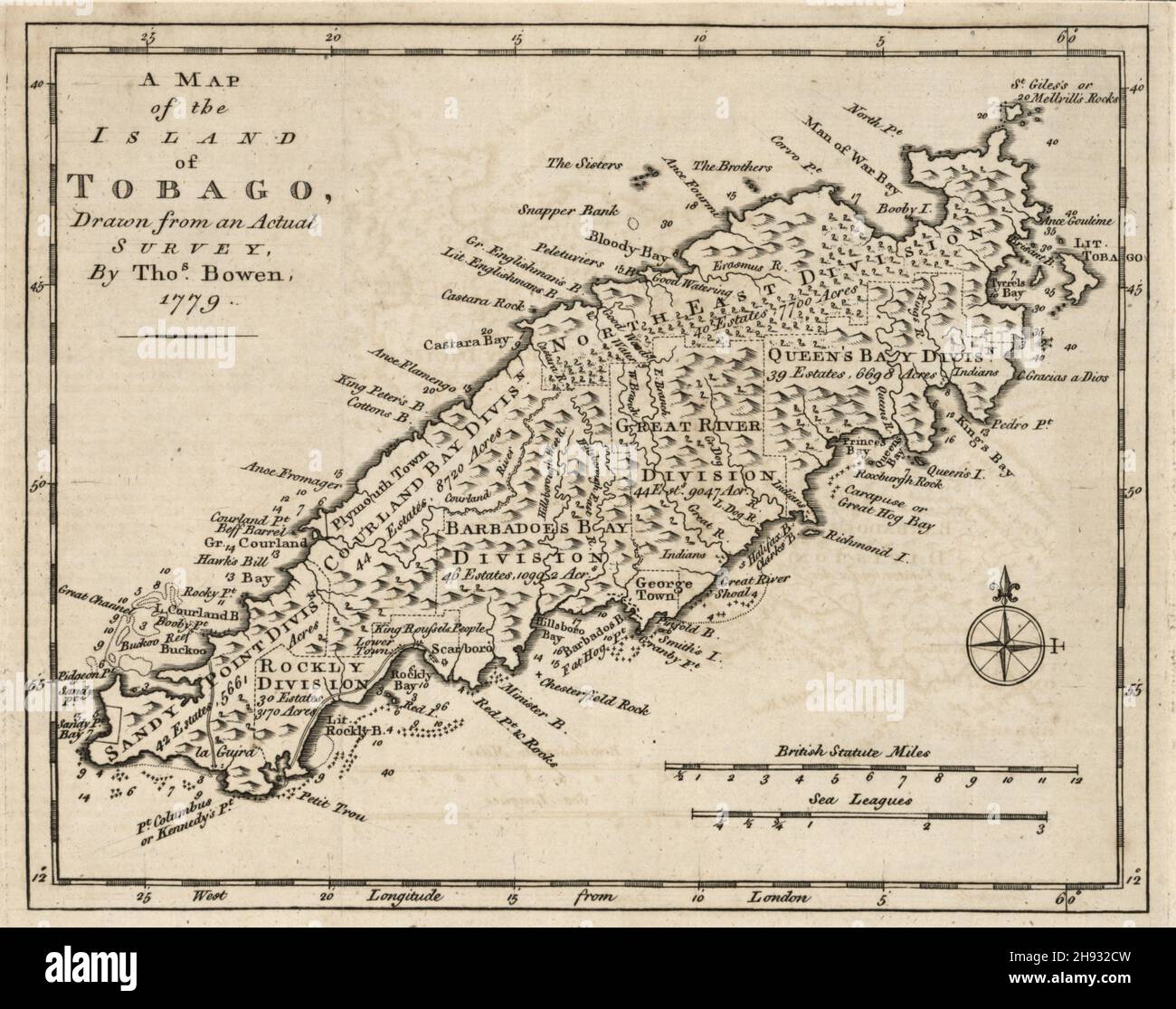 Eighteenth century map of the island of Tobago in the West Indies, ca1778 Stock Photohttps://www.alamy.com/image-license-details/?v=1https://www.alamy.com/eighteenth-century-map-of-the-island-of-tobago-in-the-west-indies-ca1778-image453069257.html
RM2H932CW–Eighteenth century map of the island of Tobago in the West Indies, ca1778
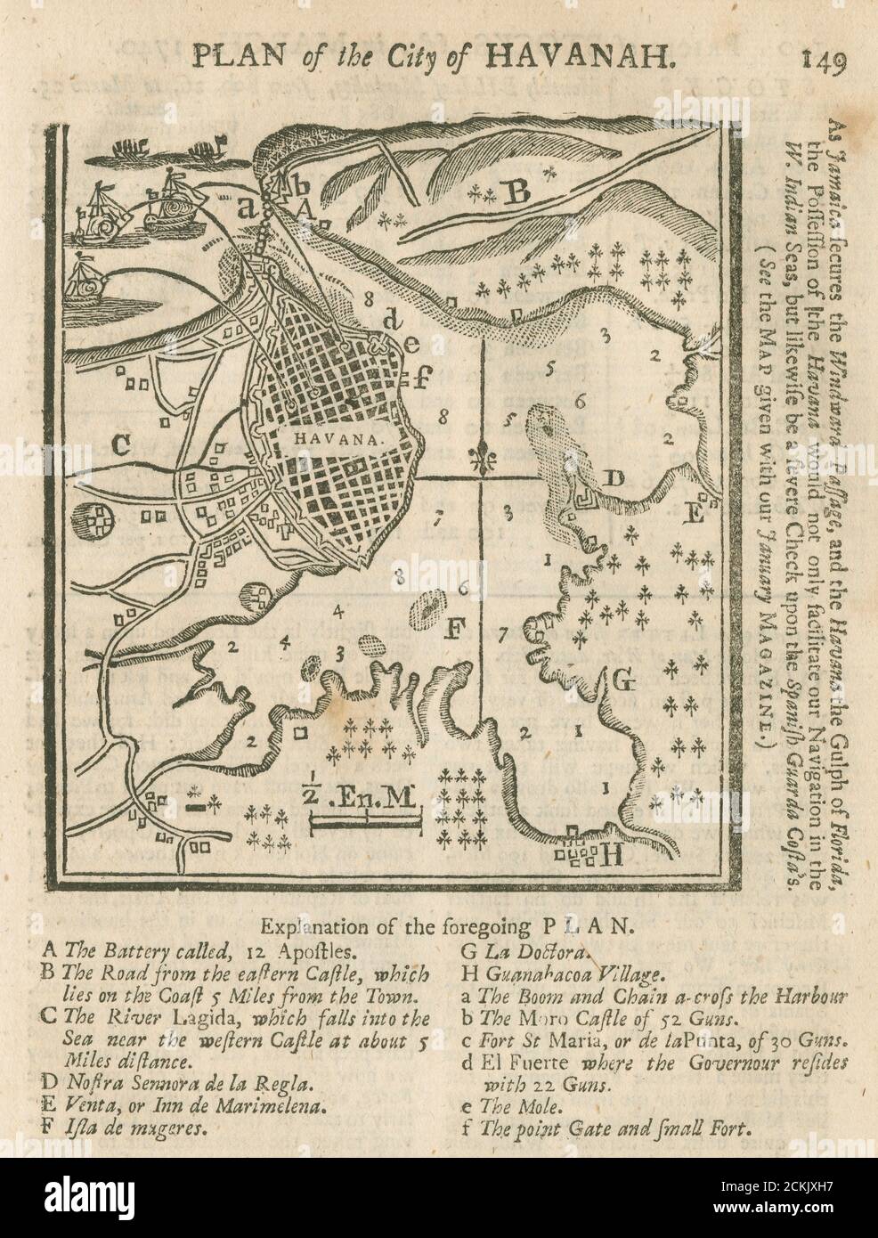 Engraving “Plan of the City of Havanah” from The Gentleman’s Magazine, March, 1740 with possible bombardment scenario from the sea. SOURCE: ORIGINAL MAGAZINE Stock Photohttps://www.alamy.com/image-license-details/?v=1https://www.alamy.com/engraving-plan-of-the-city-of-havanah-from-the-gentlemans-magazine-march-1740-with-possible-bombardment-scenario-from-the-sea-source-original-magazine-image373512195.html
RM2CKJXH7–Engraving “Plan of the City of Havanah” from The Gentleman’s Magazine, March, 1740 with possible bombardment scenario from the sea. SOURCE: ORIGINAL MAGAZINE
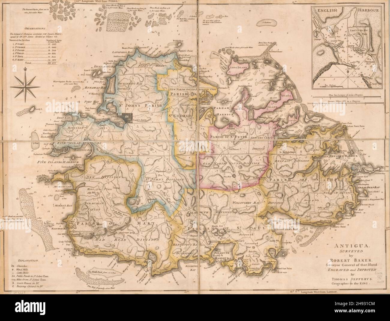 Eighteenth century map of the island of Antigua in the West Indies, ca. 1752 Stock Photohttps://www.alamy.com/image-license-details/?v=1https://www.alamy.com/eighteenth-century-map-of-the-island-of-antigua-in-the-west-indies-ca-1752-image453068468.html
RM2H931CM–Eighteenth century map of the island of Antigua in the West Indies, ca. 1752
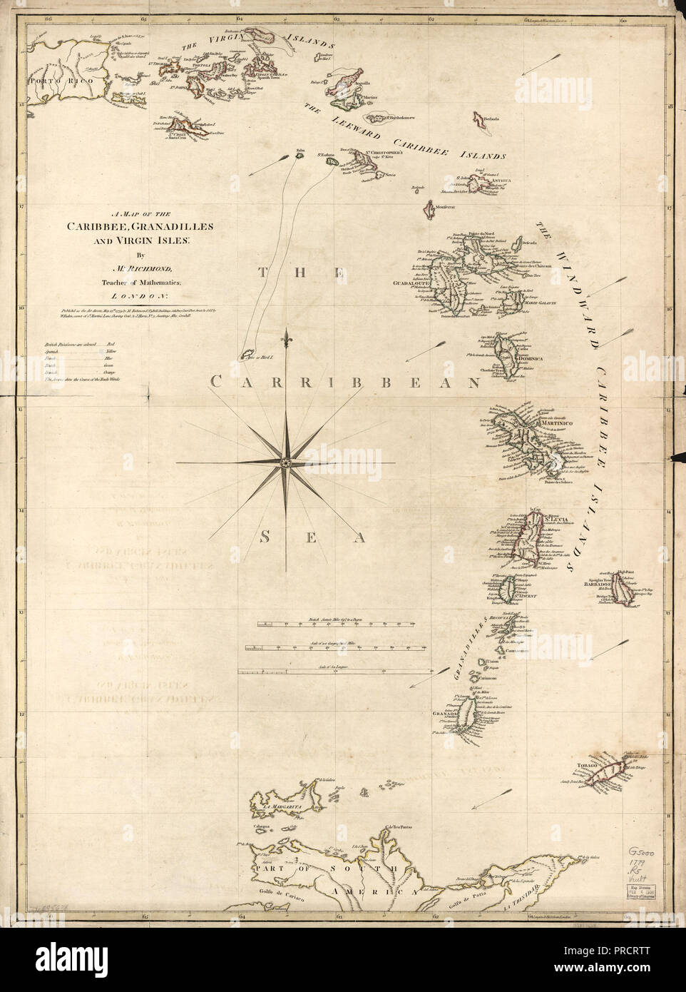 Vintage Maps / Antique Maps - A map of the Caribbean, Granadilles and Virgin Islands ca. 1779 Stock Photohttps://www.alamy.com/image-license-details/?v=1https://www.alamy.com/vintage-maps-antique-maps-a-map-of-the-caribbean-granadilles-and-virgin-islands-ca-1779-image220943656.html
RMPRCRTT–Vintage Maps / Antique Maps - A map of the Caribbean, Granadilles and Virgin Islands ca. 1779
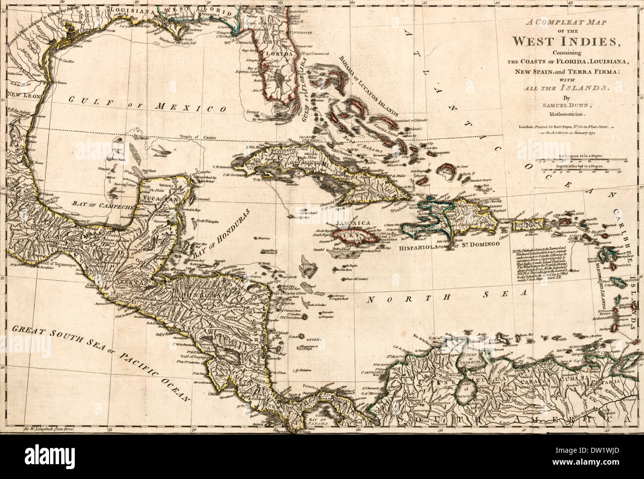 A compleat map of the West Indies containing the coasts of Florida, Louisiana, New Spain, and Terra Firma: With all the islands. 1794 Stock Photohttps://www.alamy.com/image-license-details/?v=1https://www.alamy.com/a-compleat-map-of-the-west-indies-containing-the-coasts-of-florida-image67039573.html
RMDW1WJD–A compleat map of the West Indies containing the coasts of Florida, Louisiana, New Spain, and Terra Firma: With all the islands. 1794
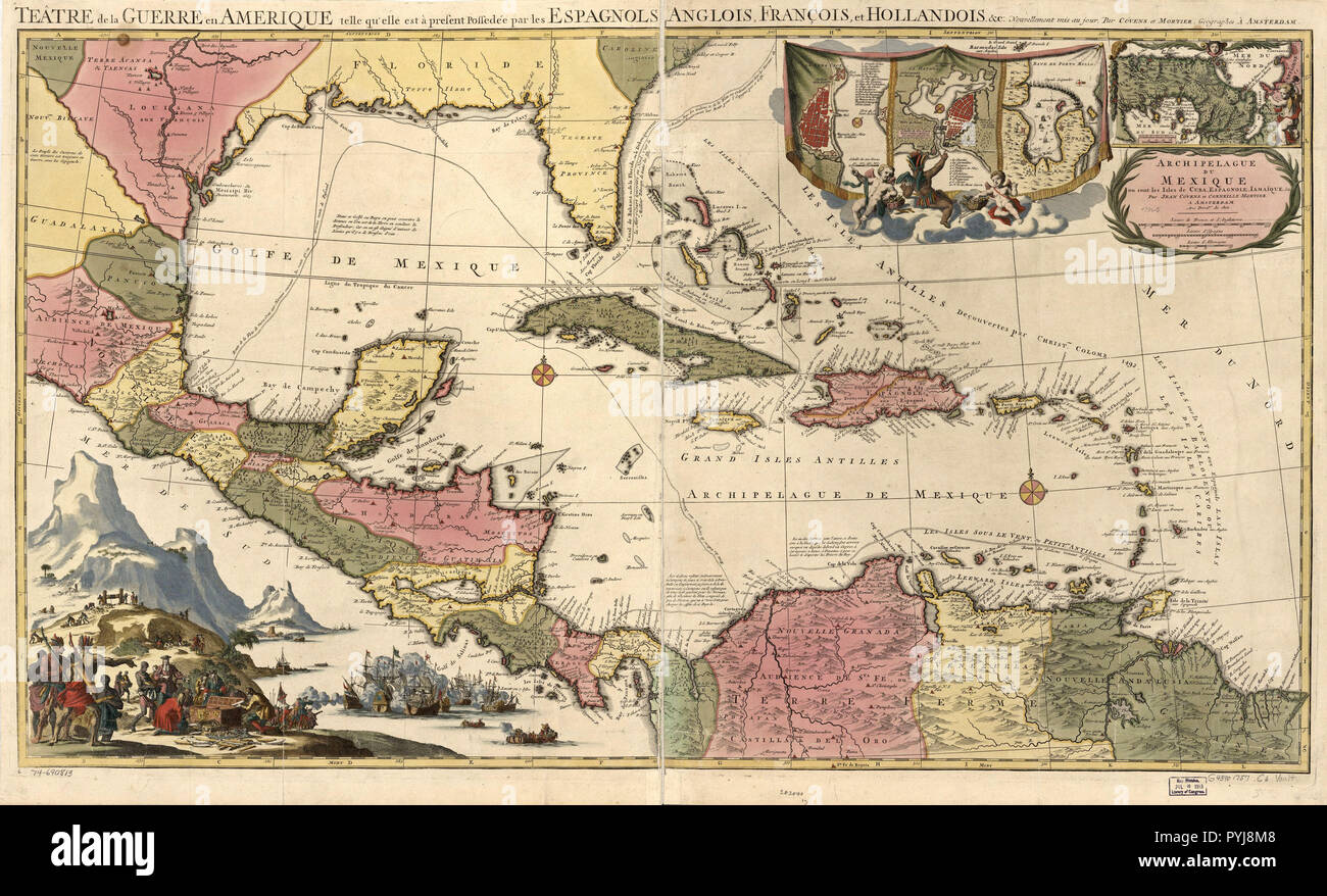 Vintage Maps / Antique Maps - Mexico, Cuba, Caribbean Islands Map ca. 1757 Stock Photohttps://www.alamy.com/image-license-details/?v=1https://www.alamy.com/vintage-maps-antique-maps-mexico-cuba-caribbean-islands-map-ca-1757-image223522104.html
RMPYJ8M8–Vintage Maps / Antique Maps - Mexico, Cuba, Caribbean Islands Map ca. 1757
 Isthmus of Panama map from Prevost's Voyages, 1754 (in French). Hand-colored woodcut Stock Photohttps://www.alamy.com/image-license-details/?v=1https://www.alamy.com/isthmus-of-panama-map-from-prevosts-voyages-1754-in-french-hand-colored-image67260683.html
RMDWBYK7–Isthmus of Panama map from Prevost's Voyages, 1754 (in French). Hand-colored woodcut
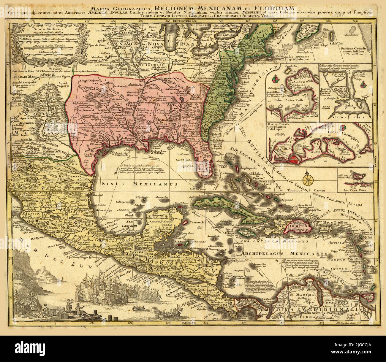 German map of Mexico and Florida, 1739, by Matthaeus Seutter Stock Photohttps://www.alamy.com/image-license-details/?v=1https://www.alamy.com/german-map-of-mexico-and-florida-1739-by-matthaeus-seutter-image474787778.html
RF2JGCCJA–German map of Mexico and Florida, 1739, by Matthaeus Seutter
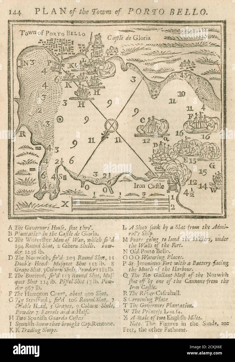 Engraving “Plan of the City of Porto Bello” with details from the The Battle of Porto Bello from The Gentleman’s Magazine, March, 1740. SOURCE: ORIGINAL MAGAZINE Stock Photohttps://www.alamy.com/image-license-details/?v=1https://www.alamy.com/engraving-plan-of-the-city-of-porto-bello-with-details-from-the-the-battle-of-porto-bello-from-the-gentlemans-magazine-march-1740-source-original-magazine-image373511894.html
RM2CKJX6E–Engraving “Plan of the City of Porto Bello” with details from the The Battle of Porto Bello from The Gentleman’s Magazine, March, 1740. SOURCE: ORIGINAL MAGAZINE
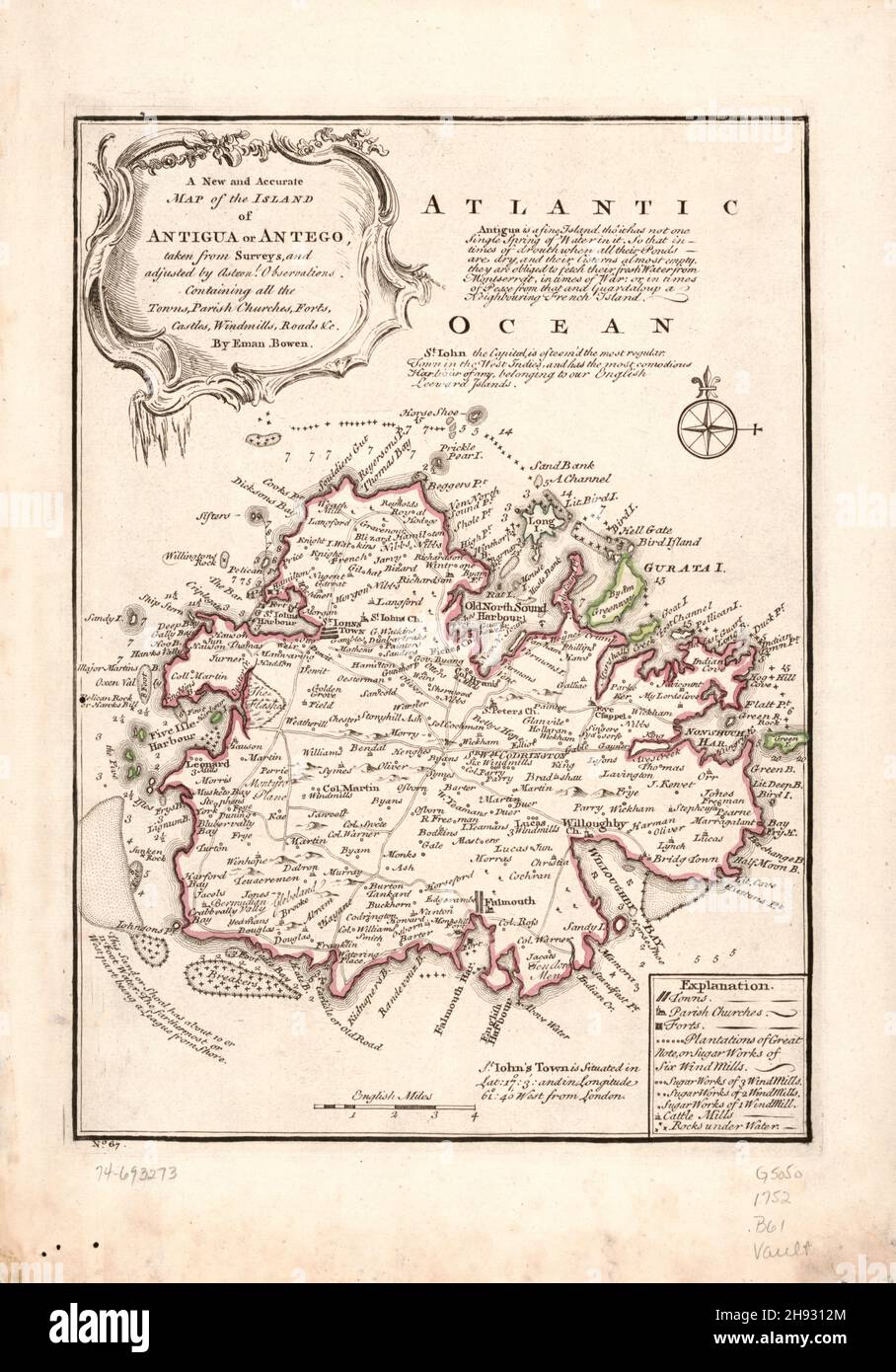 Eighteenth century map of the island of Antigua in the West Indies, ca. 1752 Stock Photohttps://www.alamy.com/image-license-details/?v=1https://www.alamy.com/eighteenth-century-map-of-the-island-of-antigua-in-the-west-indies-ca-1752-image453068188.html
RM2H9312M–Eighteenth century map of the island of Antigua in the West Indies, ca. 1752
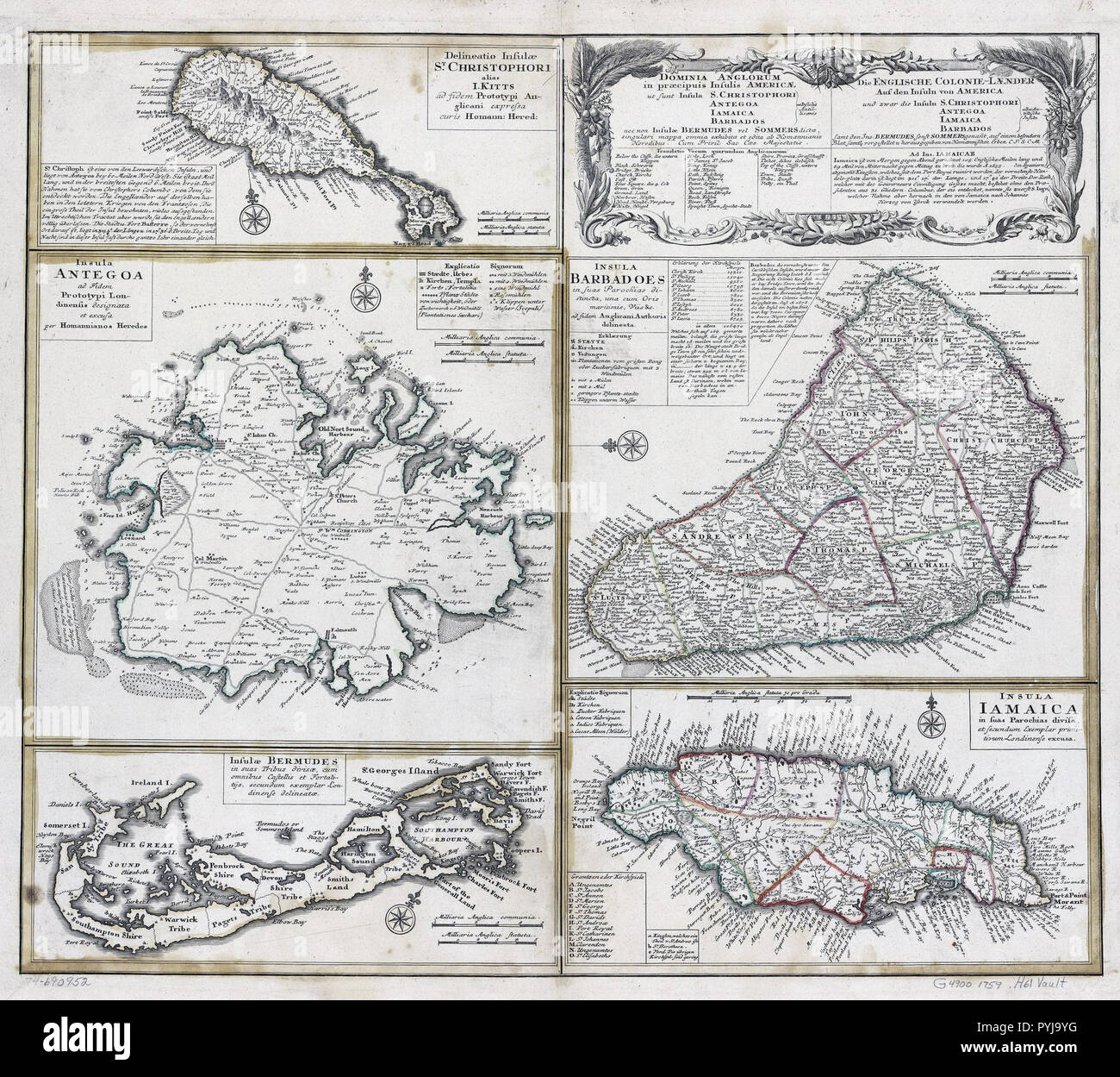 Vintage Maps / Antique Maps - Barbados, Jamacia, Bermuda, Antiqua, St. Kitts and other islands ca. 1759 Stock Photohttps://www.alamy.com/image-license-details/?v=1https://www.alamy.com/vintage-maps-antique-maps-barbados-jamacia-bermuda-antiqua-st-kitts-and-other-islands-ca-1759-image223523092.html
RMPYJ9YG–Vintage Maps / Antique Maps - Barbados, Jamacia, Bermuda, Antiqua, St. Kitts and other islands ca. 1759
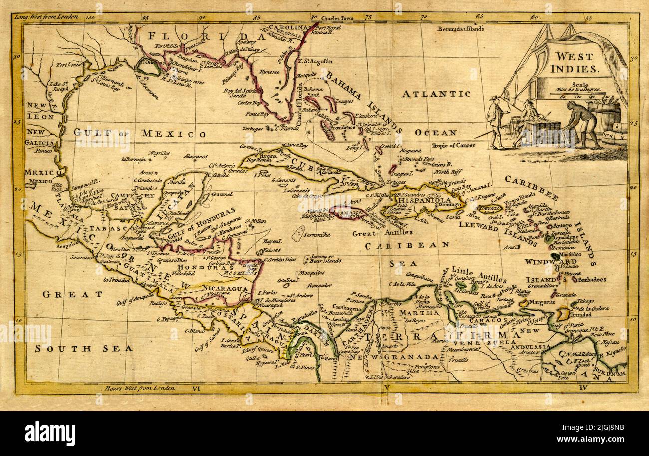 British Map of West Indies, 1777, by William Guthrie Stock Photohttps://www.alamy.com/image-license-details/?v=1https://www.alamy.com/british-map-of-west-indies-1777-by-william-guthrie-image474916439.html
RF2JGJ8NB–British Map of West Indies, 1777, by William Guthrie
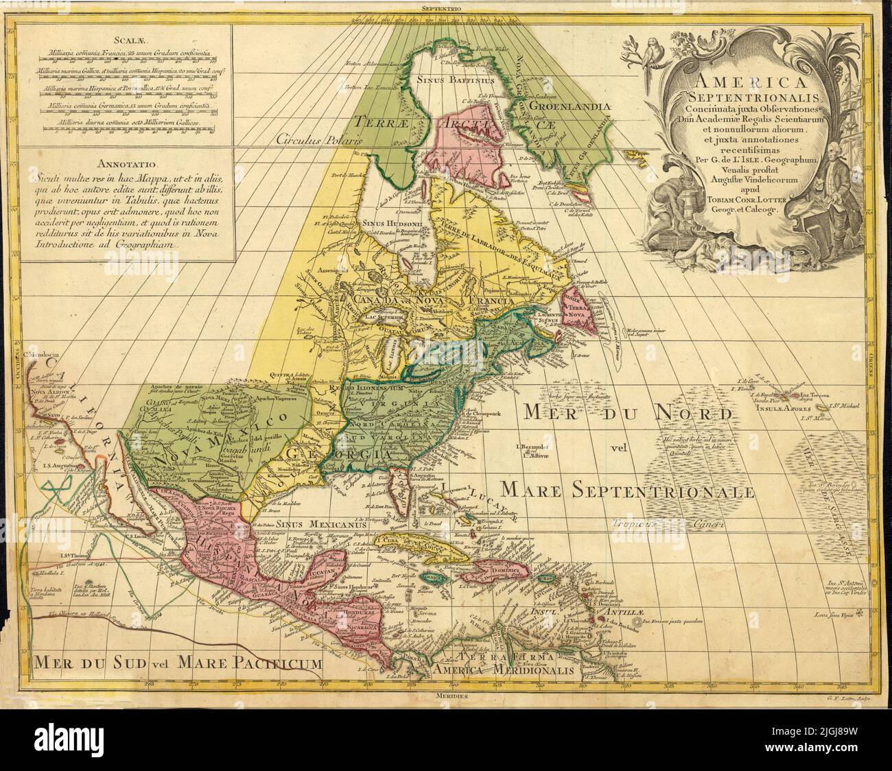 Map of North America, 1763, by Georg Friedrich Lotter Stock Photohttps://www.alamy.com/image-license-details/?v=1https://www.alamy.com/map-of-north-america-1763-by-georg-friedrich-lotter-image474916117.html
RF2JGJ89W–Map of North America, 1763, by Georg Friedrich Lotter
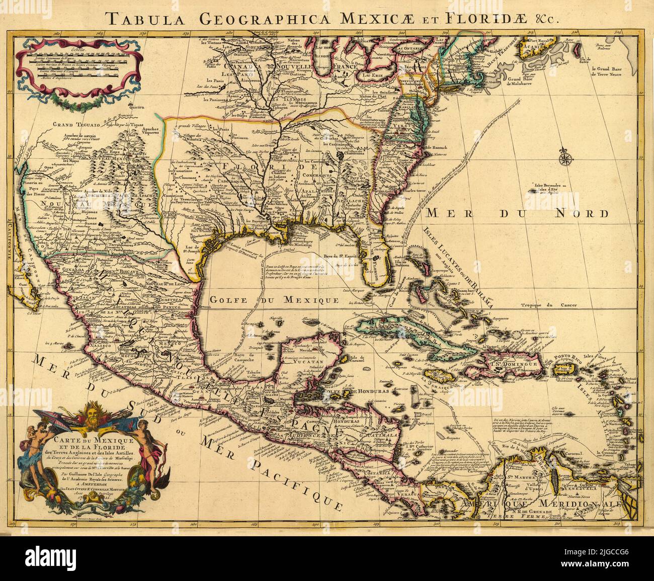 French Map of Mexico and Florida, 1722, by Guillaume de L'Isle Stock Photohttps://www.alamy.com/image-license-details/?v=1https://www.alamy.com/french-map-of-mexico-and-florida-1722-by-guillaume-de-lisle-image474787718.html
RF2JGCCG6–French Map of Mexico and Florida, 1722, by Guillaume de L'Isle
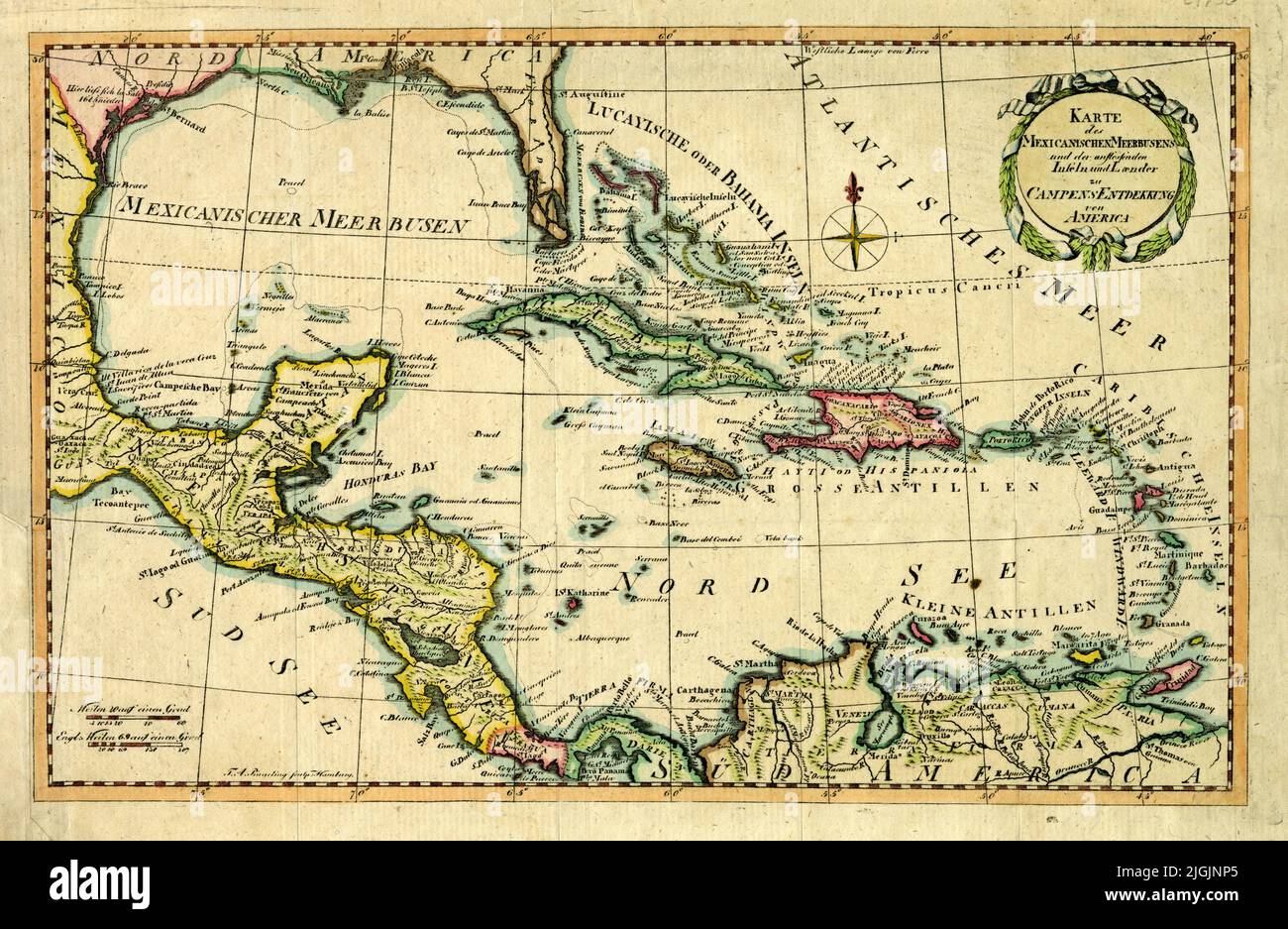 German Map of Gulf of Mexico and Surrounding Areas, 1790, by Friedrich Campe Stock Photohttps://www.alamy.com/image-license-details/?v=1https://www.alamy.com/german-map-of-gulf-of-mexico-and-surrounding-areas-1790-by-friedrich-campe-image474926653.html
RF2JGJNP5–German Map of Gulf of Mexico and Surrounding Areas, 1790, by Friedrich Campe
 Bowles' New One-Sheet Map of the West Indies, 1753, by Bowles & Carver Stock Photohttps://www.alamy.com/image-license-details/?v=1https://www.alamy.com/bowles-new-one-sheet-map-of-the-west-indies-1753-by-bowles-carver-image474916051.html
RF2JGJ87F–Bowles' New One-Sheet Map of the West Indies, 1753, by Bowles & Carver
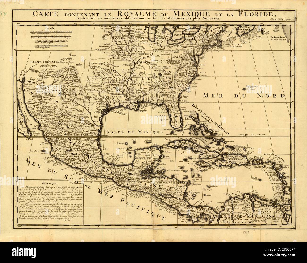 French Map of Mexico and Florida, circa 1750 Stock Photohttps://www.alamy.com/image-license-details/?v=1https://www.alamy.com/french-map-of-mexico-and-florida-circa-1750-image474787887.html
RF2JGCCP7–French Map of Mexico and Florida, circa 1750
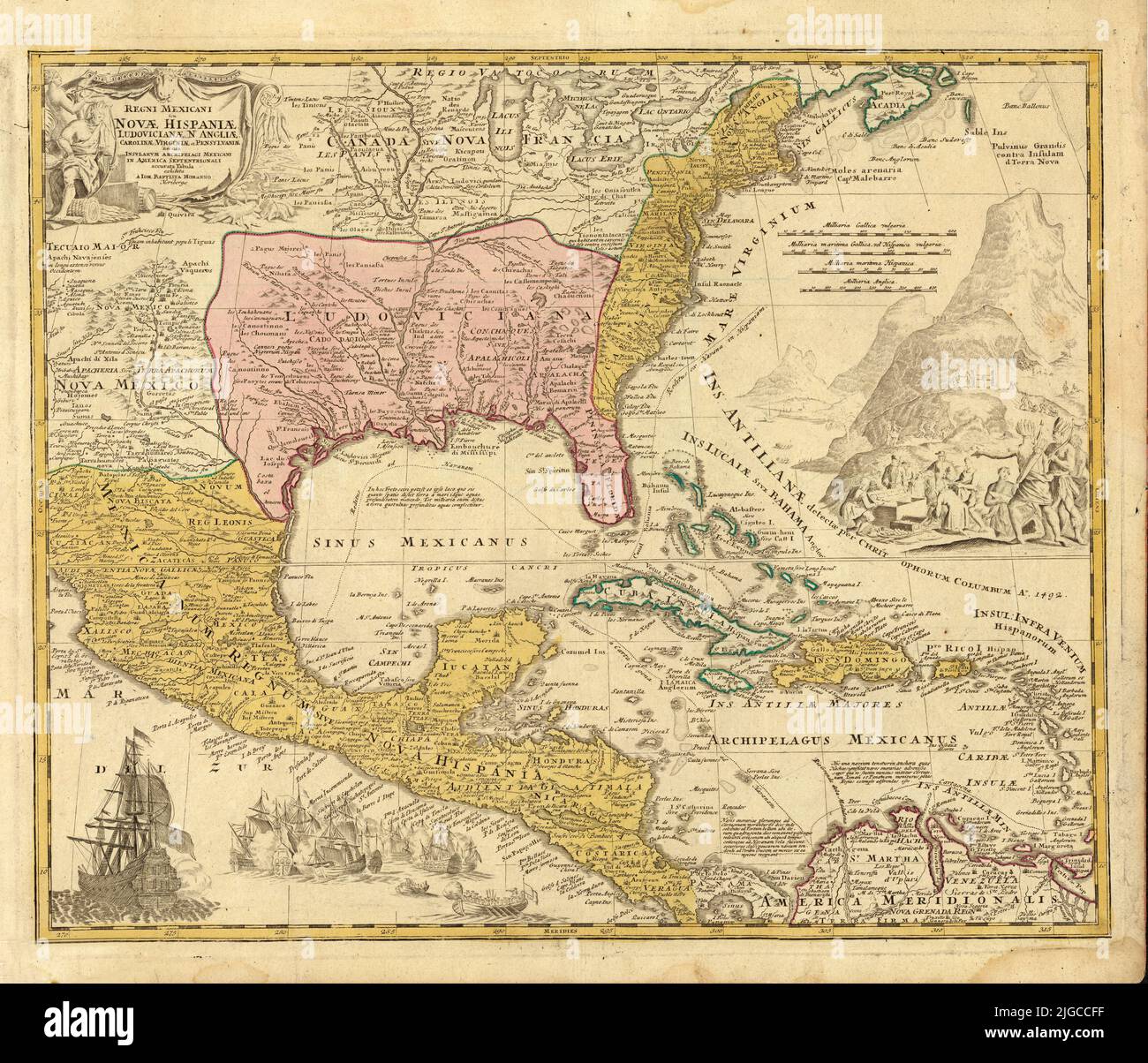 Map of New Spain, English Colonies, and New France, 1712, by Johann Baptist Homann Stock Photohttps://www.alamy.com/image-license-details/?v=1https://www.alamy.com/map-of-new-spain-english-colonies-and-new-france-1712-by-johann-baptist-homann-image474787699.html
RF2JGCCFF–Map of New Spain, English Colonies, and New France, 1712, by Johann Baptist Homann
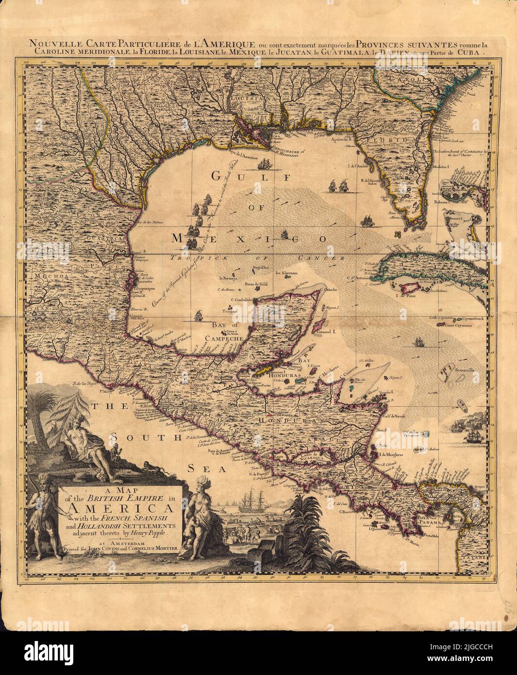 Map of the British Empire in America, with the French, Spanish and Hollandish settlements included, 1734, by Henry Popple Stock Photohttps://www.alamy.com/image-license-details/?v=1https://www.alamy.com/map-of-the-british-empire-in-america-with-the-french-spanish-and-hollandish-settlements-included-1734-by-henry-popple-image474787617.html
RF2JGCCCH–Map of the British Empire in America, with the French, Spanish and Hollandish settlements included, 1734, by Henry Popple
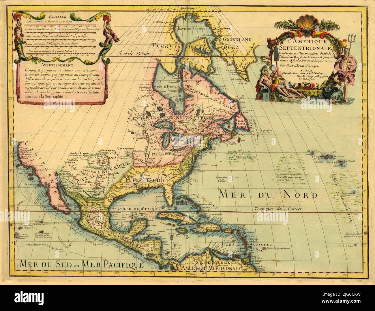 Dutch Map of North and Central America, including Canada, Florida, New Mexico, California, 1700, by Guillaume de L'Isle Stock Photohttps://www.alamy.com/image-license-details/?v=1https://www.alamy.com/dutch-map-of-north-and-central-america-including-canada-florida-new-mexico-california-1700-by-guillaume-de-lisle-image474787821.html
RF2JGCCKW–Dutch Map of North and Central America, including Canada, Florida, New Mexico, California, 1700, by Guillaume de L'Isle