Quick filters:
1820s map Stock Photos and Images
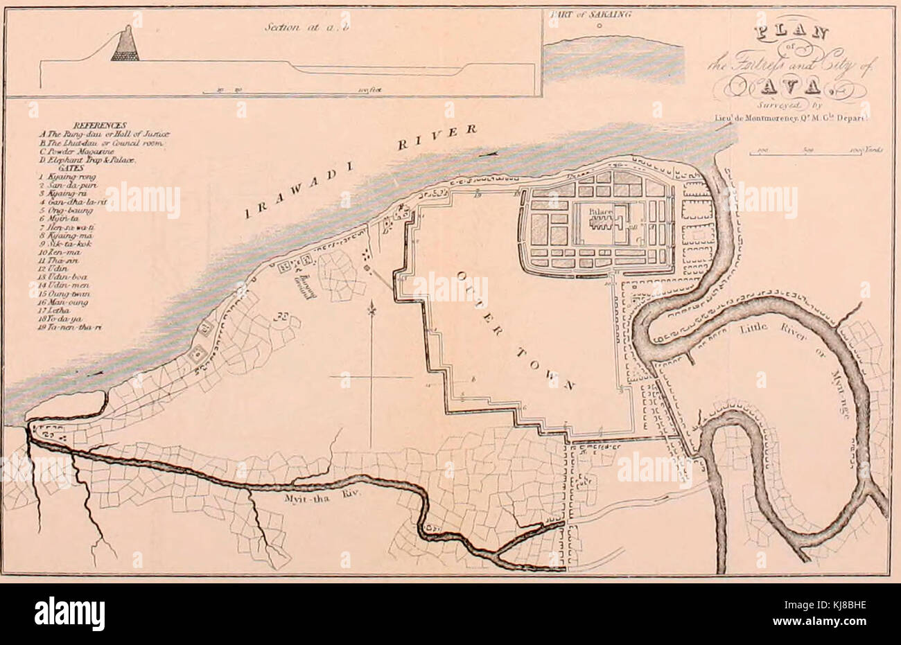 Plan of the Fortress and City of Ava, Burma, circa 1827 Stock Photohttps://www.alamy.com/image-license-details/?v=1https://www.alamy.com/stock-image-plan-of-the-fortress-and-city-of-ava-burma-circa-1827-166141850.html
RMKJ8BHE–Plan of the Fortress and City of Ava, Burma, circa 1827
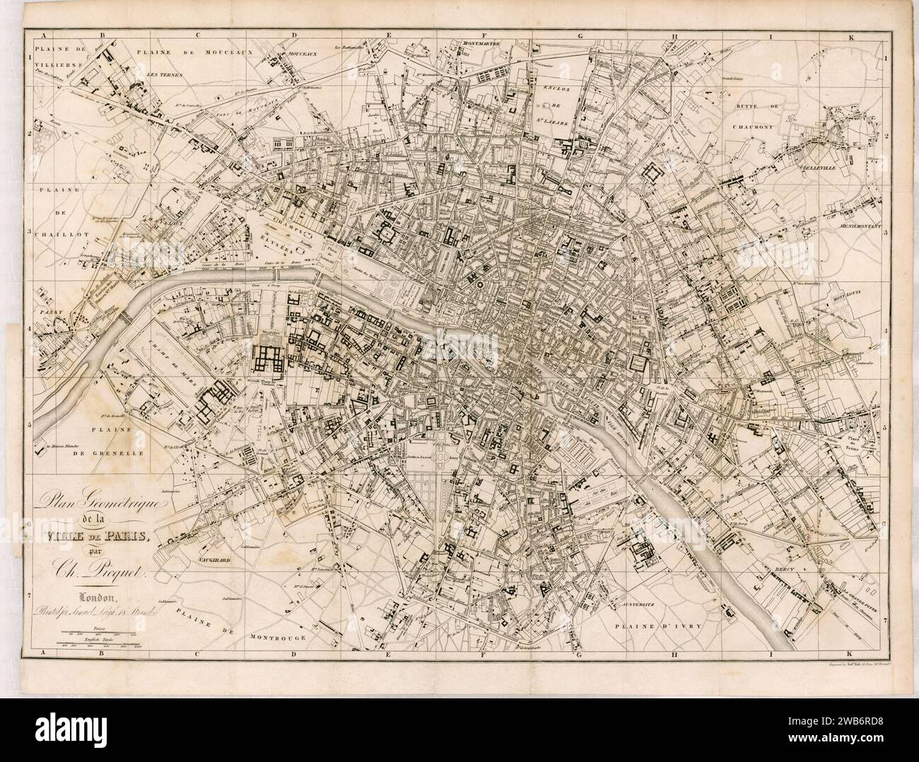 1820s map - Plan géométrique de la ville de Paris. Stock Photohttps://www.alamy.com/image-license-details/?v=1https://www.alamy.com/1820s-map-plan-gomtrique-de-la-ville-de-paris-image592063844.html
RM2WB6RD8–1820s map - Plan géométrique de la ville de Paris.
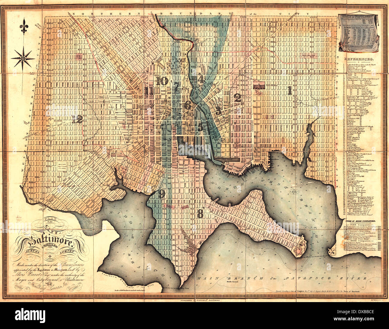 Plan of the city of Baltimore, Maryland 1822 Stock Photohttps://www.alamy.com/image-license-details/?v=1https://www.alamy.com/plan-of-the-city-of-baltimore-maryland-1822-image67862606.html
RMDXBBCE–Plan of the city of Baltimore, Maryland 1822
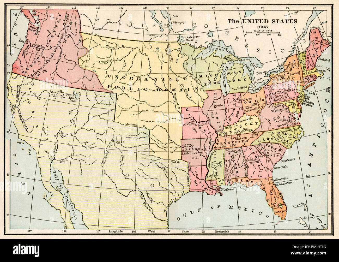 Map of the United States and Unorganized Public Lands in 1825. Color lithograph Stock Photohttps://www.alamy.com/image-license-details/?v=1https://www.alamy.com/stock-photo-map-of-the-united-states-and-unorganized-public-lands-in-1825-color-29888336.html
RMBMHETG–Map of the United States and Unorganized Public Lands in 1825. Color lithograph
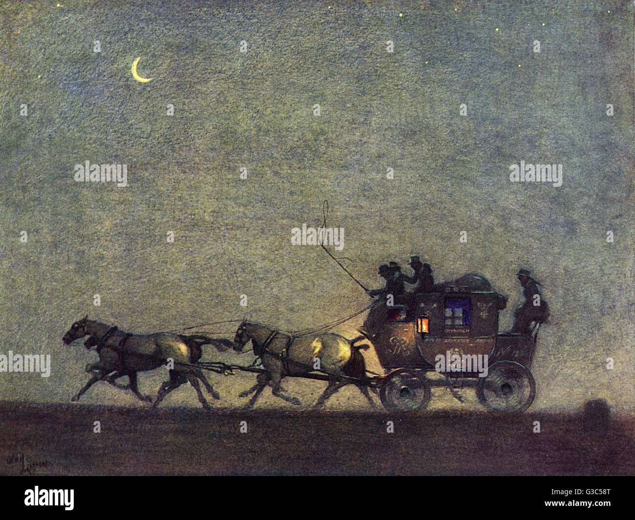 Galloping across the map Stock Photohttps://www.alamy.com/image-license-details/?v=1https://www.alamy.com/stock-photo-galloping-across-the-map-105373768.html
RMG3C58T–Galloping across the map
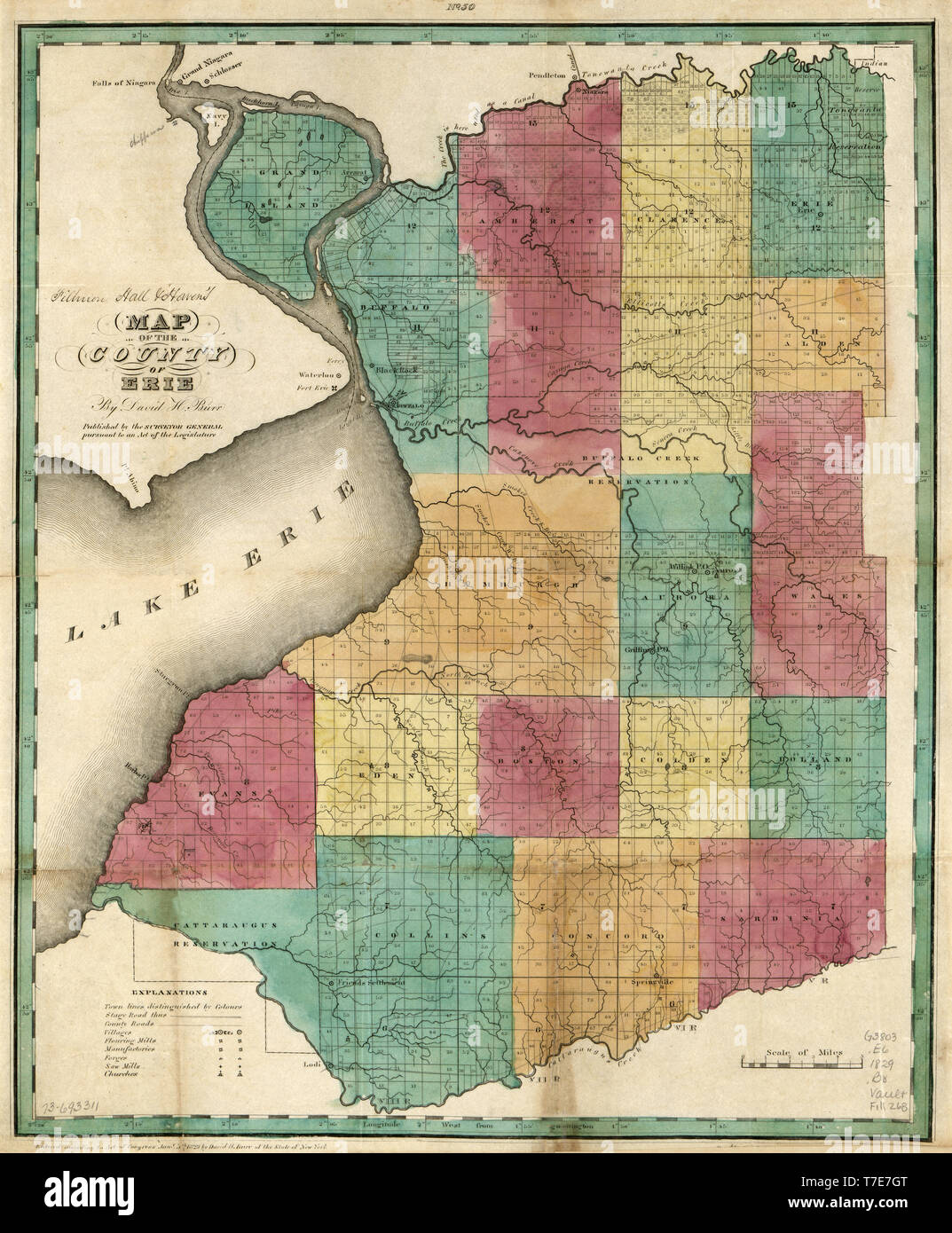 Map of the County of Erie, by David H. Burr, Published by the Surveyor General, 1829 Stock Photohttps://www.alamy.com/image-license-details/?v=1https://www.alamy.com/map-of-the-county-of-erie-by-david-h-burr-published-by-the-surveyor-general-1829-image245561032.html
RMT7E7GT–Map of the County of Erie, by David H. Burr, Published by the Surveyor General, 1829
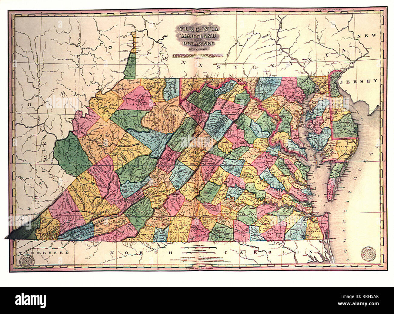 Map of Virginia, Maryland and Delaware 1827. Stock Photohttps://www.alamy.com/image-license-details/?v=1https://www.alamy.com/map-of-virginia-maryland-and-delaware-1827-image238249275.html
RMRRH5AK–Map of Virginia, Maryland and Delaware 1827.
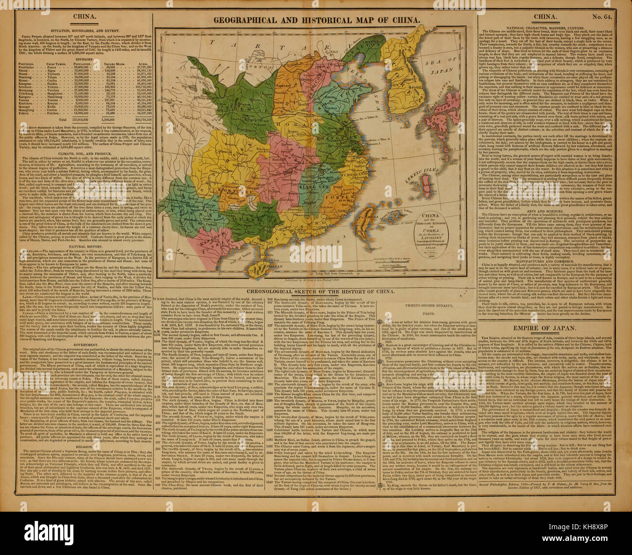 Geographical and Historical Map of China, 1820 Stock Photohttps://www.alamy.com/image-license-details/?v=1https://www.alamy.com/stock-image-geographical-and-historical-map-of-china-1820-165538710.html
RMKH8X8P–Geographical and Historical Map of China, 1820
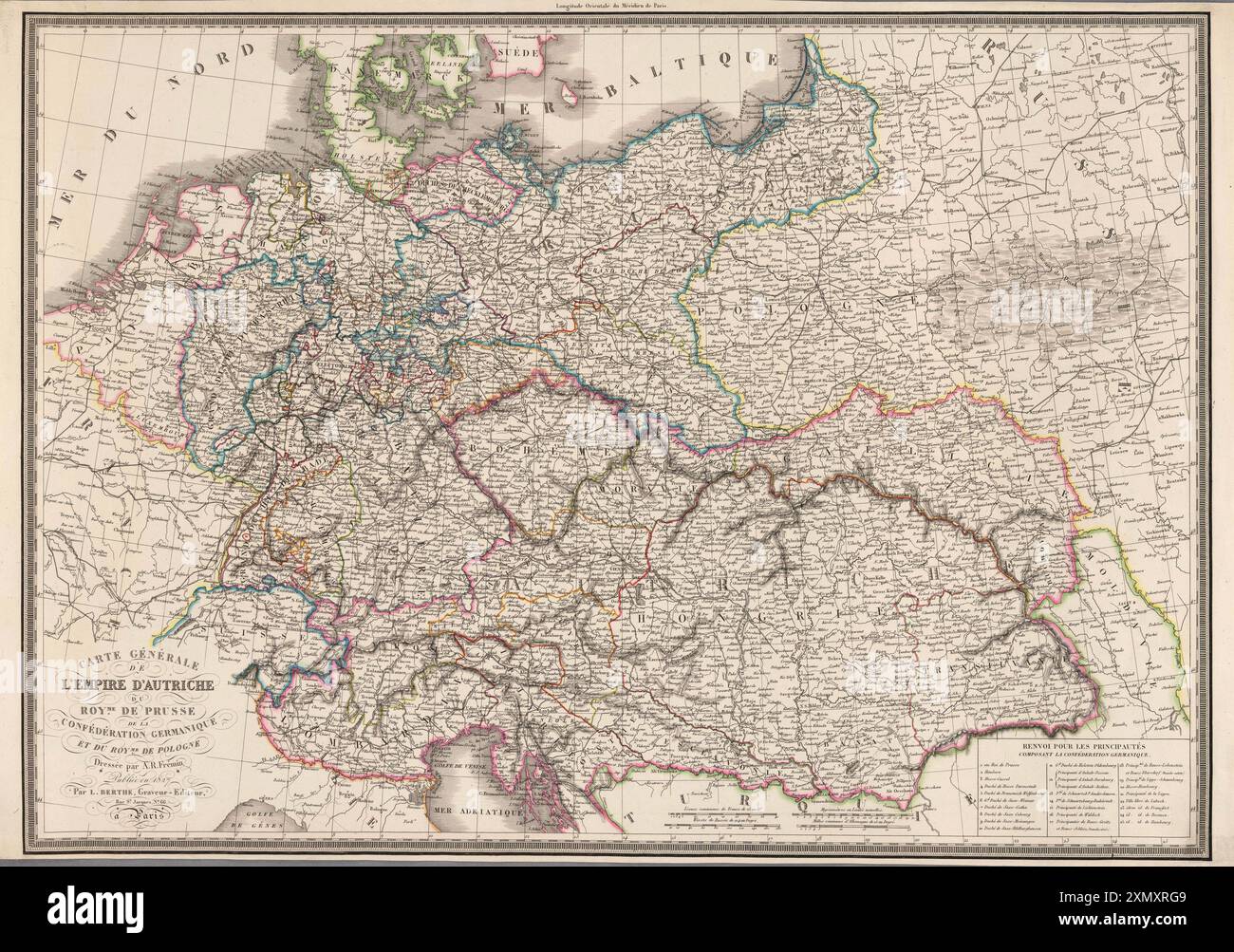 Map of the Austrian Empire, the Kingdom of Prussia, the German Confederation and the Kingdom of Poland. 1827 Stock Photohttps://www.alamy.com/image-license-details/?v=1https://www.alamy.com/map-of-the-austrian-empire-the-kingdom-of-prussia-the-german-confederation-and-the-kingdom-of-poland-1827-image615245241.html
RM2XMXRG9–Map of the Austrian Empire, the Kingdom of Prussia, the German Confederation and the Kingdom of Poland. 1827
 A general map of the polar ice in the Greenland Sea, and track of the ship Baffin in the summer of 1821, drawn by English Captain George William Manby Stock Photohttps://www.alamy.com/image-license-details/?v=1https://www.alamy.com/a-general-map-of-the-polar-ice-in-the-greenland-sea-and-track-of-the-ship-baffin-in-the-summer-of-1821-drawn-by-english-captain-george-william-manby-image631572473.html
RM2YKEH3N–A general map of the polar ice in the Greenland Sea, and track of the ship Baffin in the summer of 1821, drawn by English Captain George William Manby
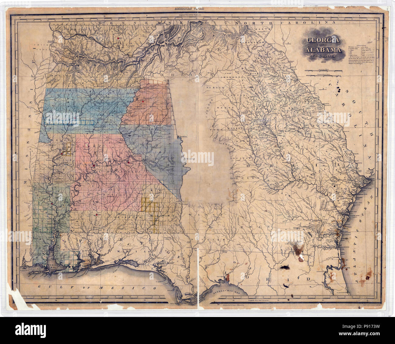 Map of Georgia and Alabama 1827 Stock Photohttps://www.alamy.com/image-license-details/?v=1https://www.alamy.com/map-of-georgia-and-alabama-1827-image212083869.html
RMP9173W–Map of Georgia and Alabama 1827
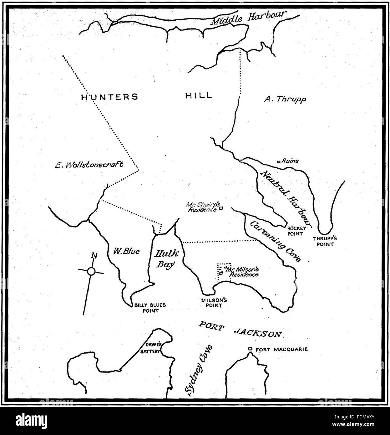 3 1820s Early map showing Milson's residence Stock Photohttps://www.alamy.com/image-license-details/?v=1https://www.alamy.com/3-1820s-early-map-showing-milsons-residence-image214962579.html
RMPDMAXY–3 1820s Early map showing Milson's residence
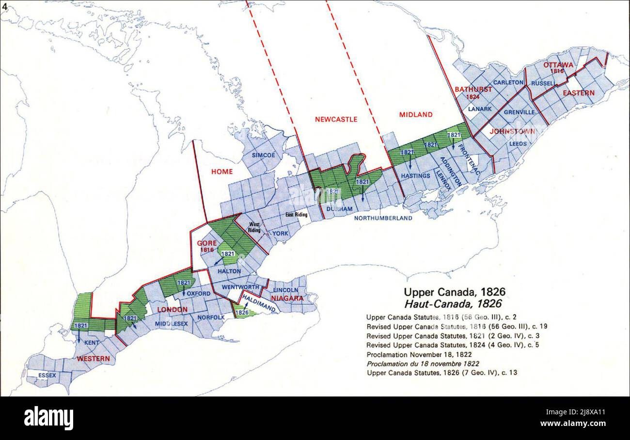 A map of Upper Canada ca. 1826 Stock Photohttps://www.alamy.com/image-license-details/?v=1https://www.alamy.com/a-map-of-upper-canada-ca-1826-image470175805.html
RM2J8XA11–A map of Upper Canada ca. 1826
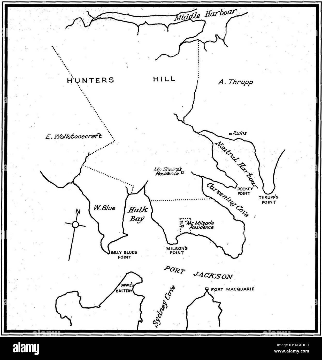 1820s Early map showing Milson's residence Stock Photohttps://www.alamy.com/image-license-details/?v=1https://www.alamy.com/stock-image-1820s-early-map-showing-milsons-residence-164343329.html
RMKFADGH–1820s Early map showing Milson's residence
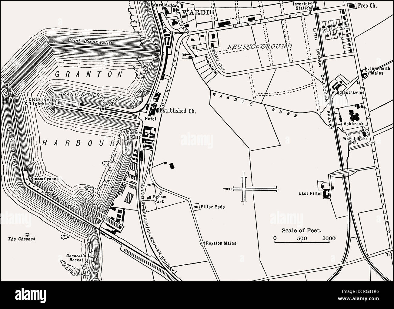 Map of Granton, Edinburgh, Scotland, 19th century Stock Photohttps://www.alamy.com/image-license-details/?v=1https://www.alamy.com/map-of-granton-edinburgh-scotland-19th-century-image233654602.html
RMRG3TR6–Map of Granton, Edinburgh, Scotland, 19th century
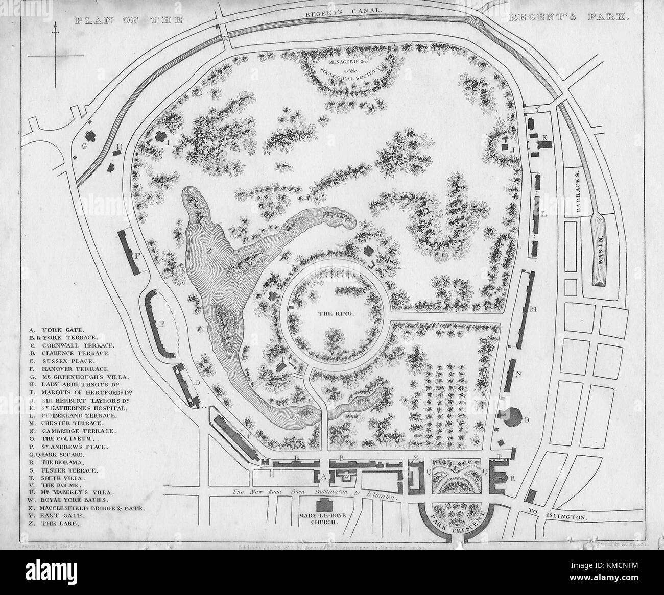 Plan of the Regent's Park, engraving 'Metropolitan Improvements, or London in the Nineteenth Century' London, England, UK 1828 Stock Photohttps://www.alamy.com/image-license-details/?v=1https://www.alamy.com/stock-image-plan-of-the-regents-park-engraving-metropolitan-improvements-or-london-167466760.html
RMKMCNFM–Plan of the Regent's Park, engraving 'Metropolitan Improvements, or London in the Nineteenth Century' London, England, UK 1828
 Artillerymen miniature 1820s Stock Photohttps://www.alamy.com/image-license-details/?v=1https://www.alamy.com/stock-photo-artillerymen-miniature-1820s-139540943.html
RMJ30HW3–Artillerymen miniature 1820s
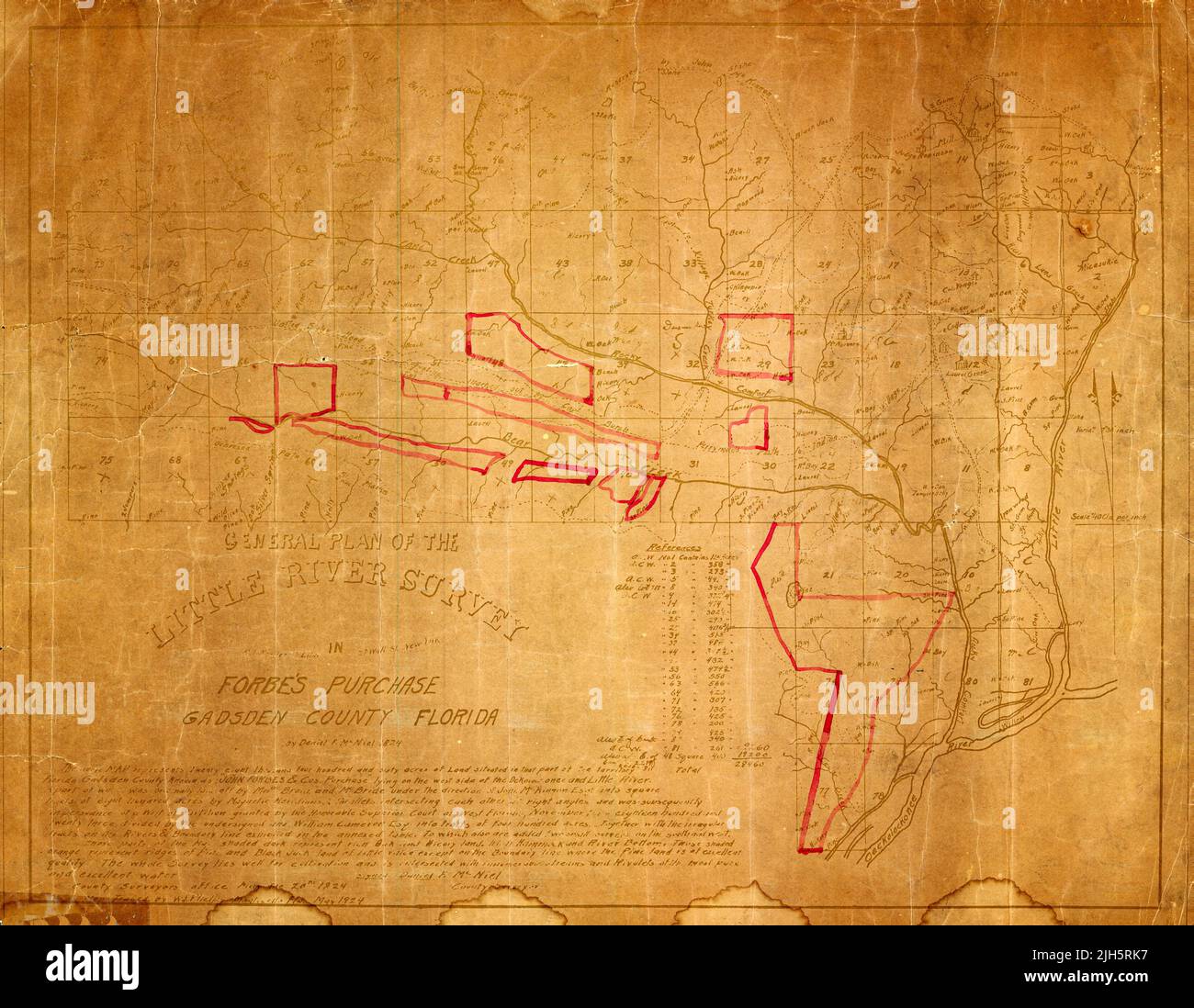 General Plan of the Little River Survey in Forbe's Purchase, Gasden County, Florida, 1824, by Daniel F. McNiel Stock Photohttps://www.alamy.com/image-license-details/?v=1https://www.alamy.com/general-plan-of-the-little-river-survey-in-forbes-purchase-gasden-county-florida-1824-by-daniel-f-mcniel-image475257419.html
RF2JH5RK7–General Plan of the Little River Survey in Forbe's Purchase, Gasden County, Florida, 1824, by Daniel F. McNiel
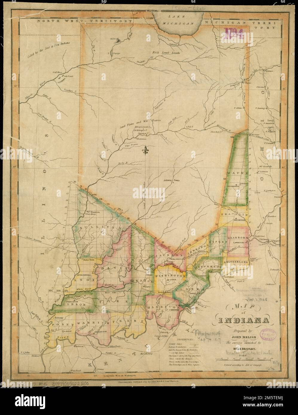 Map of Indiana. Relief shown pictorially. Identifies counties in southern Indiana.. America Transformed: Indiana Territory ('Land of Indians') was similarly carved out of the Northwest Territory in 1800. Published in 1817, a year after Indiana’s statehood, this map indicates that officials had divided the southern third of the state into counties and townships. Numerous tribal nations, including the Myaamiaki (Miami), Kiikaapoi (Kickapoo), Lenape (Delaware), Shawnee, and Neshnabé (Potawatomi) inhabited the region. The map identifies land cessions before 1817 with dashed lines. From the 1820s t Stock Photohttps://www.alamy.com/image-license-details/?v=1https://www.alamy.com/map-of-indiana-relief-shown-pictorially-identifies-counties-in-southern-indiana-america-transformed-indiana-territory-land-of-indians-was-similarly-carved-out-of-the-northwest-territory-in-1800-published-in-1817-a-year-after-indianas-statehood-this-map-indicates-that-officials-had-divided-the-southern-third-of-the-state-into-counties-and-townships-numerous-tribal-nations-including-the-myaamiaki-miami-kiikaapoi-kickapoo-lenape-delaware-shawnee-and-neshnab-potawatomi-inhabited-the-region-the-map-identifies-land-cessions-before-1817-with-dashed-lines-from-the-1820s-t-image502712354.html
RM2M5TEMJ–Map of Indiana. Relief shown pictorially. Identifies counties in southern Indiana.. America Transformed: Indiana Territory ('Land of Indians') was similarly carved out of the Northwest Territory in 1800. Published in 1817, a year after Indiana’s statehood, this map indicates that officials had divided the southern third of the state into counties and townships. Numerous tribal nations, including the Myaamiaki (Miami), Kiikaapoi (Kickapoo), Lenape (Delaware), Shawnee, and Neshnabé (Potawatomi) inhabited the region. The map identifies land cessions before 1817 with dashed lines. From the 1820s t
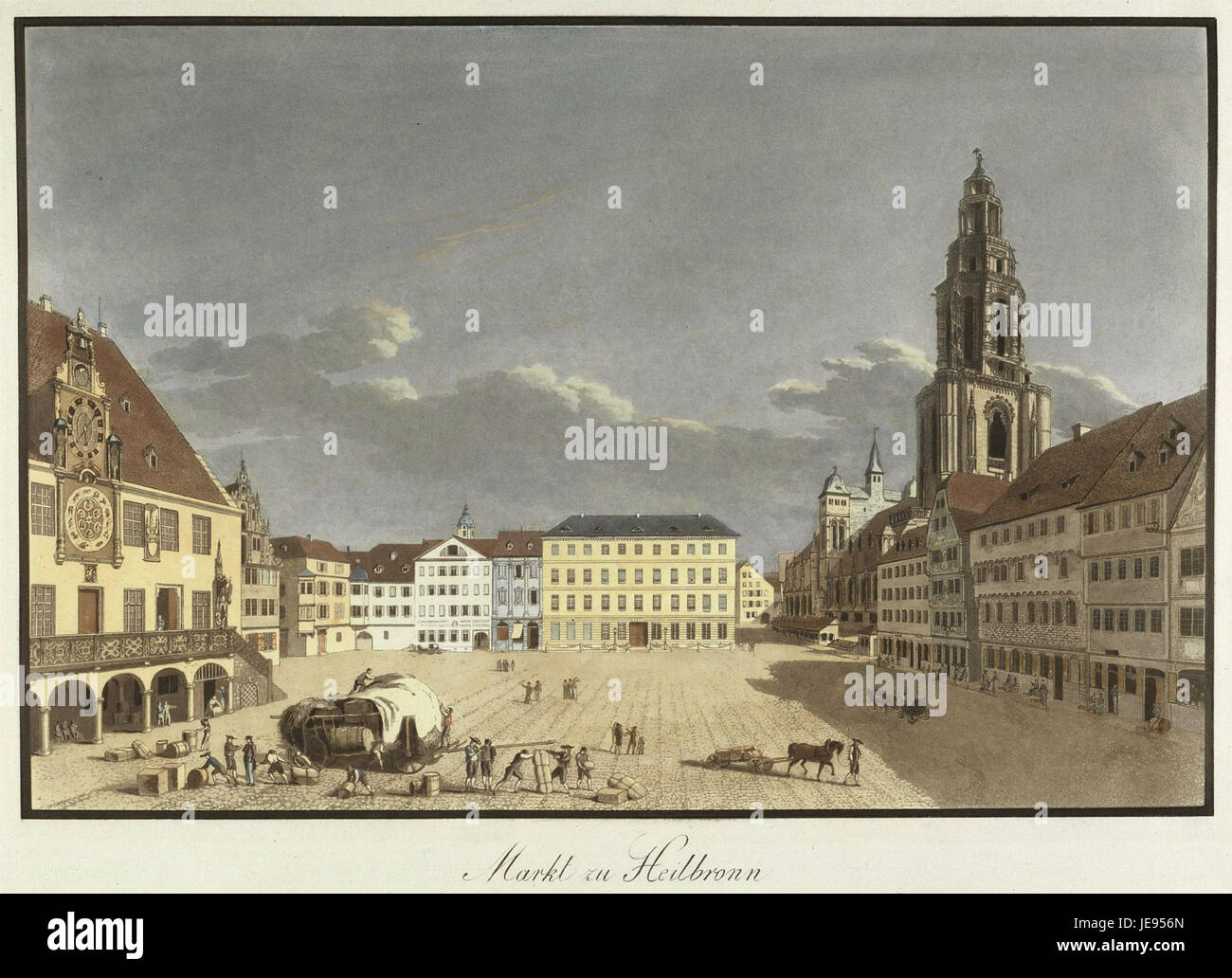 Doerr Carl Markt zu Heilbronn 1820s Stock Photohttps://www.alamy.com/image-license-details/?v=1https://www.alamy.com/stock-photo-doerr-carl-markt-zu-heilbronn-1820s-146489805.html
RMJE956N–Doerr Carl Markt zu Heilbronn 1820s
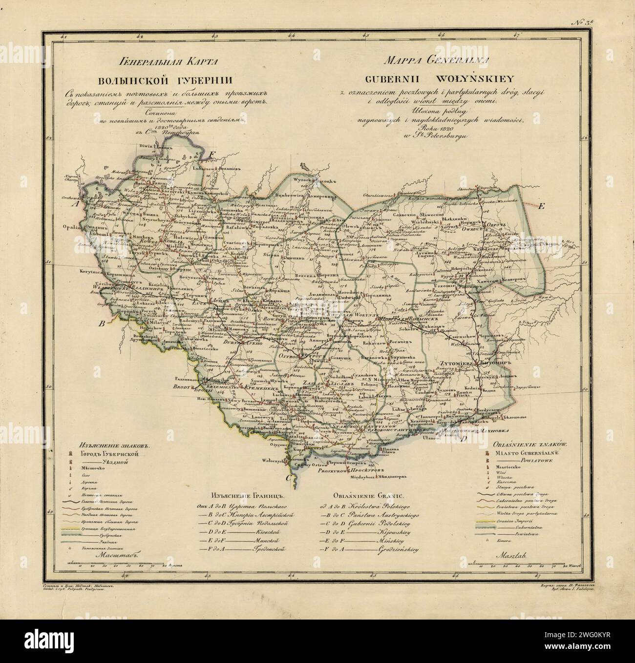 General Map of Volhynia Province: Showing Postal and Major Roads, Stations and the Distance in Versts between Them, 1820. This 1820 map of Volhynia Provinceis from a larger work,Geograficheskii atlas Rossiiskoi imperii, tsarstva Pol'skogo i velikogo kniazhestva Finliandskogo(Geographical atlas of the Russian Empire, the Kingdom of Poland, and the Grand Duchy of Finland), containing 60 maps of the Russian Empire. Compiled and engraved by Colonel V.P. Piadyshev, it reflects the detailed mapping carried out by Russian military cartographers in the first quarter of the 19th century. The map shows Stock Photohttps://www.alamy.com/image-license-details/?v=1https://www.alamy.com/general-map-of-volhynia-province-showing-postal-and-major-roads-stations-and-the-distance-in-versts-between-them-1820-this-1820-map-of-volhynia-provinceis-from-a-larger-workgeograficheskii-atlas-rossiiskoi-imperii-tsarstva-polskogo-i-velikogo-kniazhestva-finliandskogogeographical-atlas-of-the-russian-empire-the-kingdom-of-poland-and-the-grand-duchy-of-finland-containing-60-maps-of-the-russian-empire-compiled-and-engraved-by-colonel-vp-piadyshev-it-reflects-the-detailed-mapping-carried-out-by-russian-military-cartographers-in-the-first-quarter-of-the-19th-century-the-map-shows-image595002683.html
RM2WG0KYR–General Map of Volhynia Province: Showing Postal and Major Roads, Stations and the Distance in Versts between Them, 1820. This 1820 map of Volhynia Provinceis from a larger work,Geograficheskii atlas Rossiiskoi imperii, tsarstva Pol'skogo i velikogo kniazhestva Finliandskogo(Geographical atlas of the Russian Empire, the Kingdom of Poland, and the Grand Duchy of Finland), containing 60 maps of the Russian Empire. Compiled and engraved by Colonel V.P. Piadyshev, it reflects the detailed mapping carried out by Russian military cartographers in the first quarter of the 19th century. The map shows
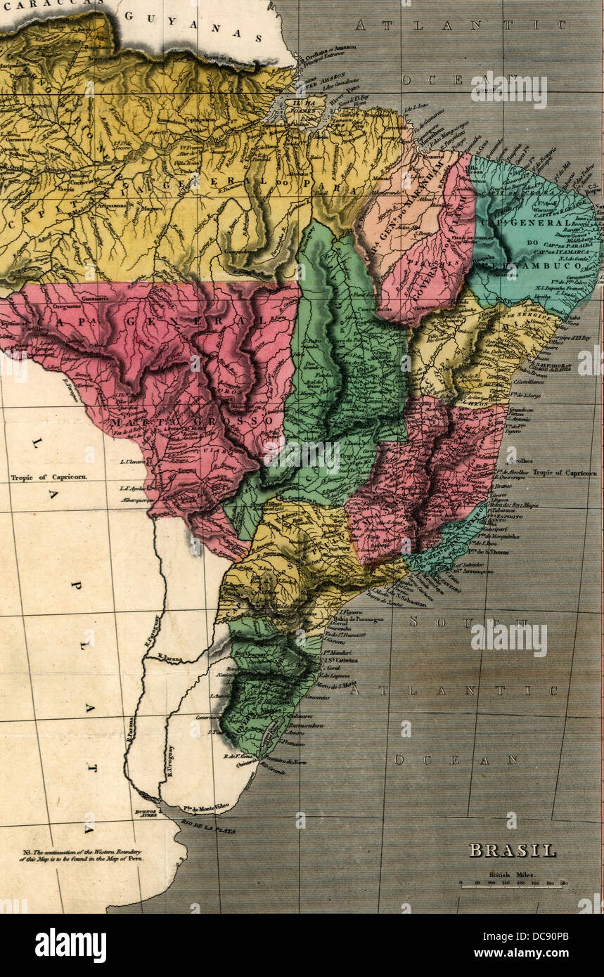 Map of Brazil 1822 Stock Photohttps://www.alamy.com/image-license-details/?v=1https://www.alamy.com/stock-photo-map-of-brazil-1822-59205171.html
RMDC90PB–Map of Brazil 1822
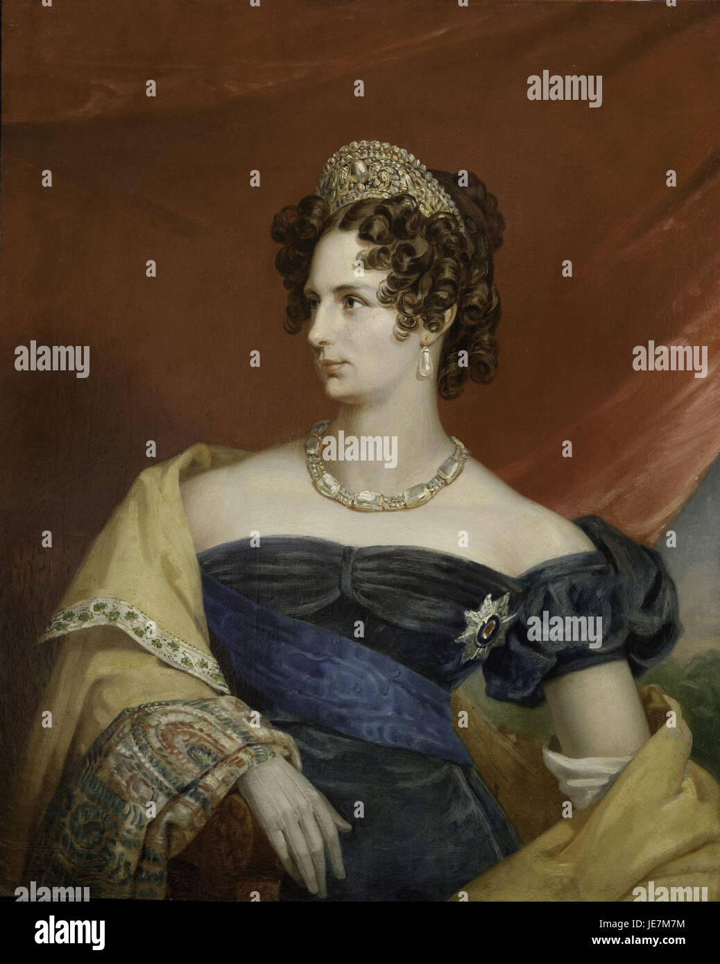 Alexandra Feodorovna - workshop of G.Dawe (1820s, GIM) Stock Photohttps://www.alamy.com/image-license-details/?v=1https://www.alamy.com/stock-photo-alexandra-feodorovna-workshop-of-gdawe-1820s-gim-146457688.html
RMJE7M7M–Alexandra Feodorovna - workshop of G.Dawe (1820s, GIM)
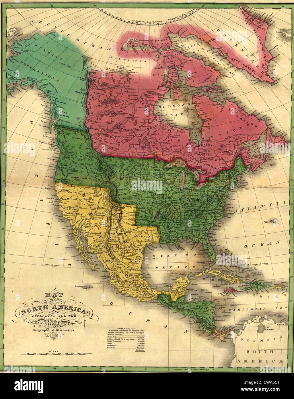 North American political boundaries in 1826. Image shows the Louisiana Purchase and Oregon Territory. Alaska is labeled as a Stock Photohttps://www.alamy.com/image-license-details/?v=1https://www.alamy.com/stock-photo-north-american-political-boundaries-in-1826-image-shows-the-louisiana-50011697.html
RMCWA6C1–North American political boundaries in 1826. Image shows the Louisiana Purchase and Oregon Territory. Alaska is labeled as a
 Nautical chart of Terra Australis or Australia, 1843. rom the surveys of Captains Flinders and King; R.N. with additions from Lieuts. Jeffreys and Roe; also from Adml. D'Entrecasteaux; Capts Baudin and Freycinent of the French Marine to the year 1829; corrected from the surveys of Commanders Wickham and Stokes Stock Photohttps://www.alamy.com/image-license-details/?v=1https://www.alamy.com/nautical-chart-of-terra-australis-or-australia-1843-rom-the-surveys-of-captains-flinders-and-king-rn-with-additions-from-lieuts-jeffreys-and-roe-also-from-adml-dentrecasteaux-capts-baudin-and-freycinent-of-the-french-marine-to-the-year-1829-corrected-from-the-surveys-of-commanders-wickham-and-stokes-image641562257.html
RM2S7NK5N–Nautical chart of Terra Australis or Australia, 1843. rom the surveys of Captains Flinders and King; R.N. with additions from Lieuts. Jeffreys and Roe; also from Adml. D'Entrecasteaux; Capts Baudin and Freycinent of the French Marine to the year 1829; corrected from the surveys of Commanders Wickham and Stokes
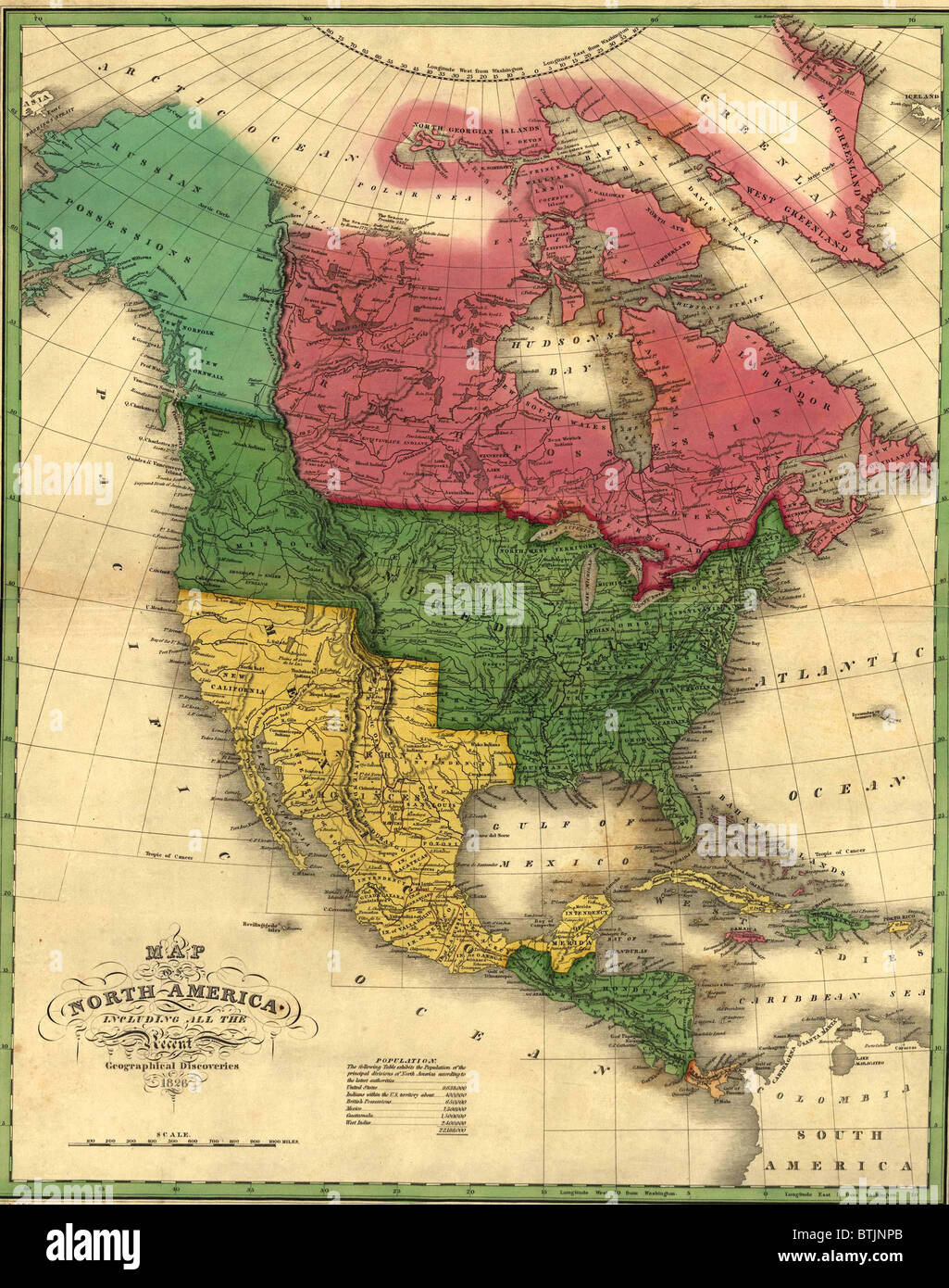 North American political boundaries in 1826. Image shows the Louisiana Purchase and Oregon Territory. Alaska is labeled as a Russian possession. Canada does not yet reach the Pacific Ocean. Mexico will be reduced after the Mexican War, 1847-49. Stock Photohttps://www.alamy.com/image-license-details/?v=1https://www.alamy.com/stock-photo-north-american-political-boundaries-in-1826-image-shows-the-louisiana-32374339.html
RMBTJNPB–North American political boundaries in 1826. Image shows the Louisiana Purchase and Oregon Territory. Alaska is labeled as a Russian possession. Canada does not yet reach the Pacific Ocean. Mexico will be reduced after the Mexican War, 1847-49.
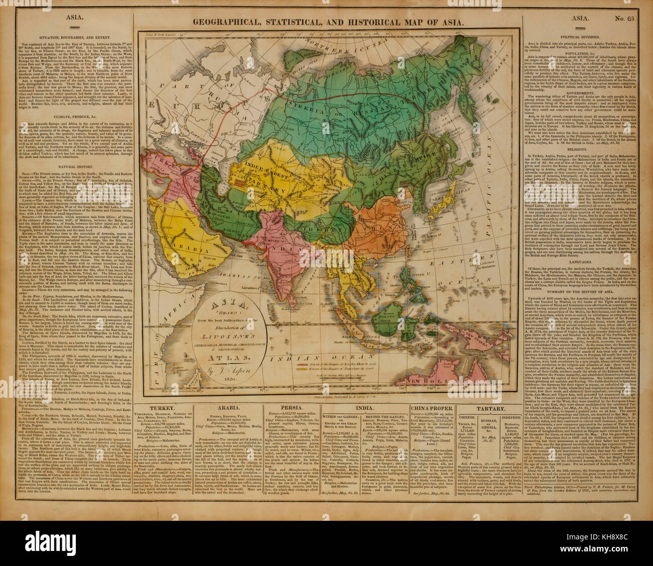 Geographical, Statistical and Historical Map of Asia, 1820 Stock Photohttps://www.alamy.com/image-license-details/?v=1https://www.alamy.com/stock-image-geographical-statistical-and-historical-map-of-asia-1820-165538700.html
RMKH8X8C–Geographical, Statistical and Historical Map of Asia, 1820
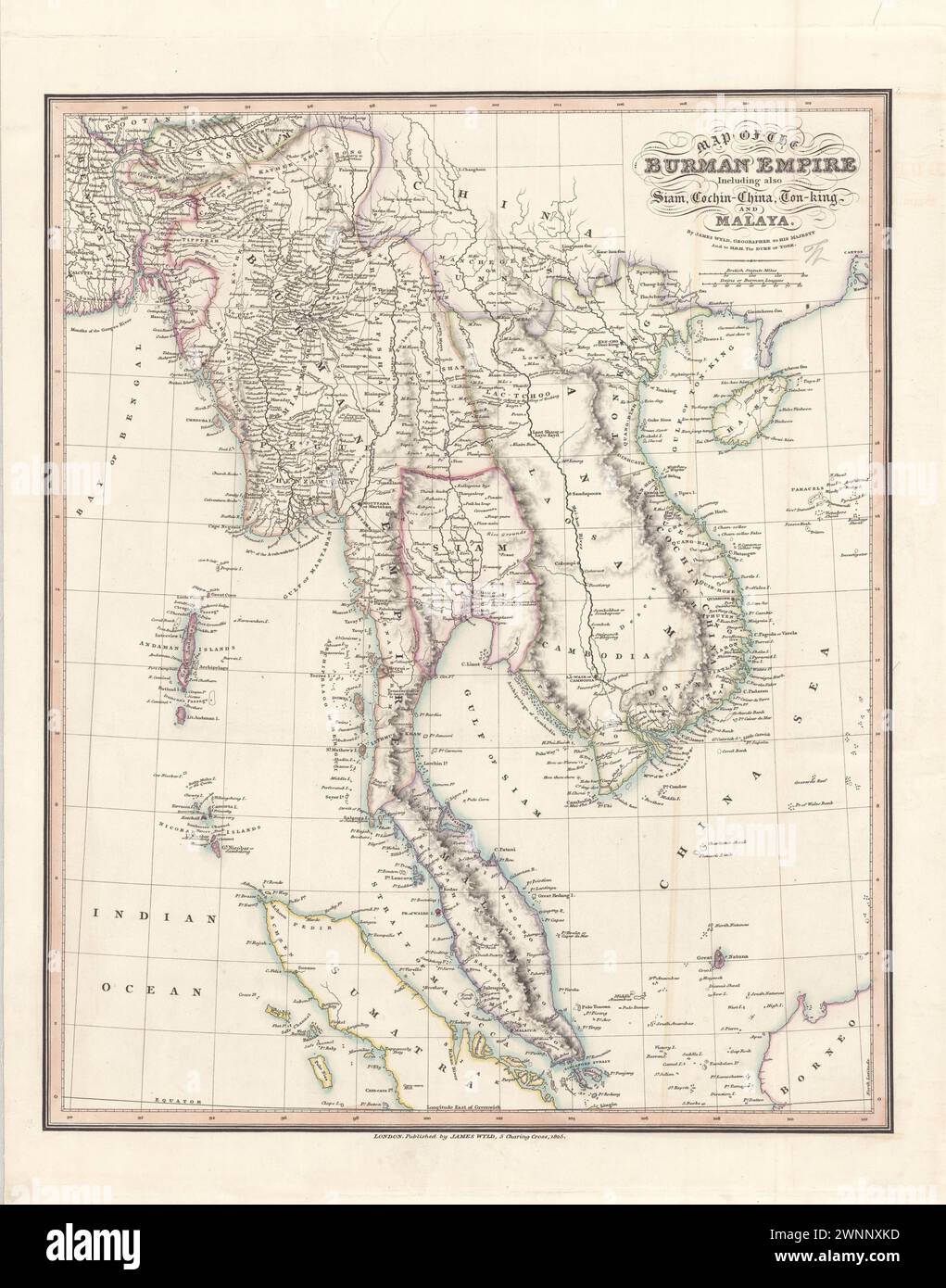 Vintage Geographic Map . Map of the Burman Empire including also Siam, Cochin-China, Ton-King and Malaya / by James Wyld, Geographer to His Majesty. 1825 Stock Photohttps://www.alamy.com/image-license-details/?v=1https://www.alamy.com/vintage-geographic-map-map-of-the-burman-empire-including-also-siam-cochin-china-ton-king-and-malaya-by-james-wyld-geographer-to-his-majesty-1825-image598542209.html
RM2WNNXKD–Vintage Geographic Map . Map of the Burman Empire including also Siam, Cochin-China, Ton-King and Malaya / by James Wyld, Geographer to His Majesty. 1825
 UK, England, Devon, Plymouth, Stonehouse, Cremyll Street, Royal William Yard gate Stock Photohttps://www.alamy.com/image-license-details/?v=1https://www.alamy.com/uk-england-devon-plymouth-stonehouse-cremyll-street-royal-william-yard-gate-image619918491.html
RM2Y0FMA3–UK, England, Devon, Plymouth, Stonehouse, Cremyll Street, Royal William Yard gate
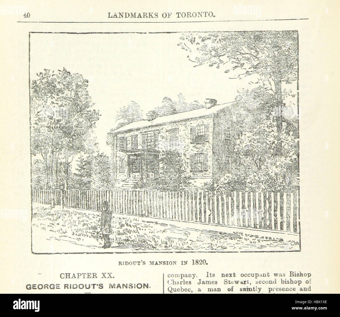 Image taken from page 76 of 'Robertson's Landmarks of Toronto. A collection of historical sketches of the old town of York from 1792 until 1833 (till 1837) and of Toronto from 1834 to 1893 (to 1914). Also ... engravings ... Published from the Toronto “Eve Image taken from page 76 of 'Robertson's Landmarks of Toronto Stock Photohttps://www.alamy.com/image-license-details/?v=1https://www.alamy.com/stock-photo-image-taken-from-page-76-of-robertsons-landmarks-of-toronto-a-collection-127806070.html
RMHBX1XE–Image taken from page 76 of 'Robertson's Landmarks of Toronto. A collection of historical sketches of the old town of York from 1792 until 1833 (till 1837) and of Toronto from 1834 to 1893 (to 1914). Also ... engravings ... Published from the Toronto “Eve Image taken from page 76 of 'Robertson's Landmarks of Toronto
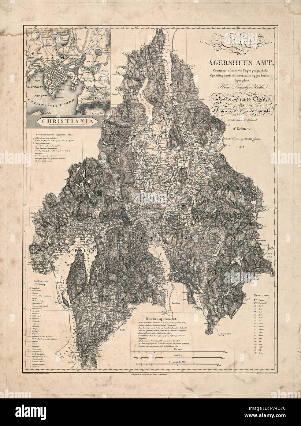 Ramm og Munthes kart over Akershus amt, 1827 - Ramm and Munthes map of Akershus county, 1827 Cartographer N. Ramm og G. Munthe Stock Photohttps://www.alamy.com/image-license-details/?v=1https://www.alamy.com/ramm-og-munthes-kart-over-akershus-amt-1827-ramm-and-munthes-map-of-akershus-county-1827-cartographer-n-ramm-og-g-munthe-image210925216.html
RMP74D7C–Ramm og Munthes kart over Akershus amt, 1827 - Ramm and Munthes map of Akershus county, 1827 Cartographer N. Ramm og G. Munthe
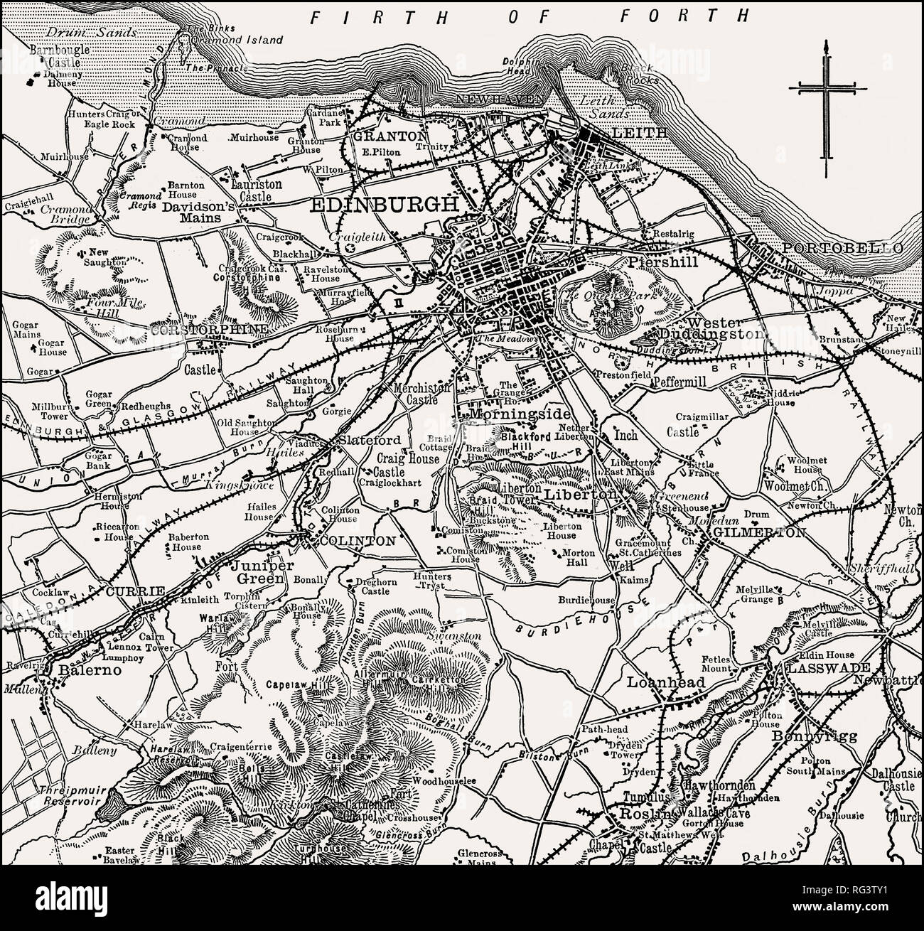 Map of Edinburgh and environs, Scotland, 19th century Stock Photohttps://www.alamy.com/image-license-details/?v=1https://www.alamy.com/map-of-edinburgh-and-environs-scotland-19th-century-image233654709.html
RMRG3TY1–Map of Edinburgh and environs, Scotland, 19th century
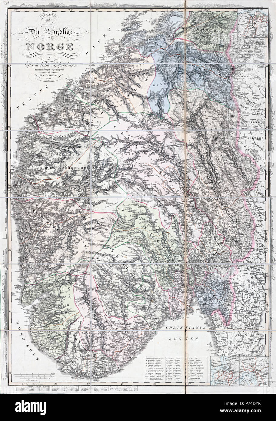 Carpelans kart over det sydlige Norge, 1826 Stock Photohttps://www.alamy.com/image-license-details/?v=1https://www.alamy.com/carpelans-kart-over-det-sydlige-norge-1826-image210925783.html
RMP74DYK–Carpelans kart over det sydlige Norge, 1826
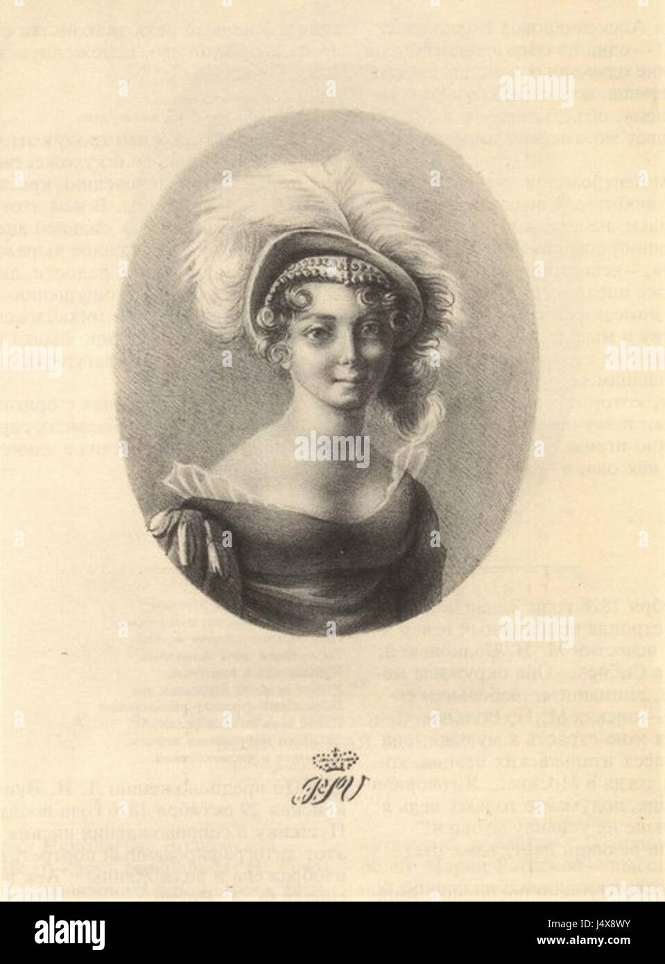 Zinaida Volkonskaya (1820s) Stock Photohttps://www.alamy.com/image-license-details/?v=1https://www.alamy.com/stock-photo-zinaida-volkonskaya-1820s-140719319.html
RMJ4X8WY–Zinaida Volkonskaya (1820s)
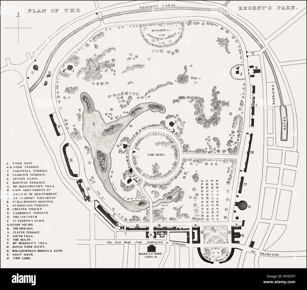 Plan of the Regent's Park, London, UK, illustration by Th. H. Shepherd, 1826 Stock Photohttps://www.alamy.com/image-license-details/?v=1https://www.alamy.com/plan-of-the-regents-park-london-uk-illustration-by-th-h-shepherd-1826-image240648703.html
RMRYEDTF–Plan of the Regent's Park, London, UK, illustration by Th. H. Shepherd, 1826
![VUE DE GENES Author Hegi, Franz 77.68.g. Place of publication: aÃÇ Paris Publisher: chez Mr. Bance aineÃÅ rue St. Denis No 214. Date of publication: [probably 1820s] Item type: 1 print Medium: sepia aquatint Dimensions: sheet 40.0 x 53.6 cm Former owner: George III, King of Great Britain, 1738-1820 Stock Photo VUE DE GENES Author Hegi, Franz 77.68.g. Place of publication: aÃÇ Paris Publisher: chez Mr. Bance aineÃÅ rue St. Denis No 214. Date of publication: [probably 1820s] Item type: 1 print Medium: sepia aquatint Dimensions: sheet 40.0 x 53.6 cm Former owner: George III, King of Great Britain, 1738-1820 Stock Photo](https://c8.alamy.com/comp/2E9FJ85/vue-de-genes-author-hegi-franz-7768g-place-of-publication-a-paris-publisher-chez-mr-bance-aine-rue-st-denis-no-214-date-of-publication-probably-1820s-item-type-1-print-medium-sepia-aquatint-dimensions-sheet-400-x-536-cm-former-owner-george-iii-king-of-great-britain-1738-1820-2E9FJ85.jpg) VUE DE GENES Author Hegi, Franz 77.68.g. Place of publication: aÃÇ Paris Publisher: chez Mr. Bance aineÃÅ rue St. Denis No 214. Date of publication: [probably 1820s] Item type: 1 print Medium: sepia aquatint Dimensions: sheet 40.0 x 53.6 cm Former owner: George III, King of Great Britain, 1738-1820 Stock Photohttps://www.alamy.com/image-license-details/?v=1https://www.alamy.com/vue-de-genes-author-hegi-franz-7768g-place-of-publication-a-paris-publisher-chez-mr-bance-aine-rue-st-denis-no-214-date-of-publication-probably-1820s-item-type-1-print-medium-sepia-aquatint-dimensions-sheet-400-x-536-cm-former-owner-george-iii-king-of-great-britain-1738-1820-image401713989.html
VUE DE GENES Author Hegi, Franz 77.68.g. Place of publication: aÃÇ Paris Publisher: chez Mr. Bance aineÃÅ rue St. Denis No 214. Date of publication: [probably 1820s] Item type: 1 print Medium: sepia aquatint Dimensions: sheet 40.0 x 53.6 cm Former owner: George III, King of Great Britain, 1738-1820 Stock Photohttps://www.alamy.com/image-license-details/?v=1https://www.alamy.com/vue-de-genes-author-hegi-franz-7768g-place-of-publication-a-paris-publisher-chez-mr-bance-aine-rue-st-denis-no-214-date-of-publication-probably-1820s-item-type-1-print-medium-sepia-aquatint-dimensions-sheet-400-x-536-cm-former-owner-george-iii-king-of-great-britain-1738-1820-image401713989.htmlRM2E9FJ85–VUE DE GENES Author Hegi, Franz 77.68.g. Place of publication: aÃÇ Paris Publisher: chez Mr. Bance aineÃÅ rue St. Denis No 214. Date of publication: [probably 1820s] Item type: 1 print Medium: sepia aquatint Dimensions: sheet 40.0 x 53.6 cm Former owner: George III, King of Great Britain, 1738-1820
 Plan of Portobello, Edinburgh, Scotland, 19th century Stock Photohttps://www.alamy.com/image-license-details/?v=1https://www.alamy.com/plan-of-portobello-edinburgh-scotland-19th-century-image233261480.html
RMRFDYB4–Plan of Portobello, Edinburgh, Scotland, 19th century
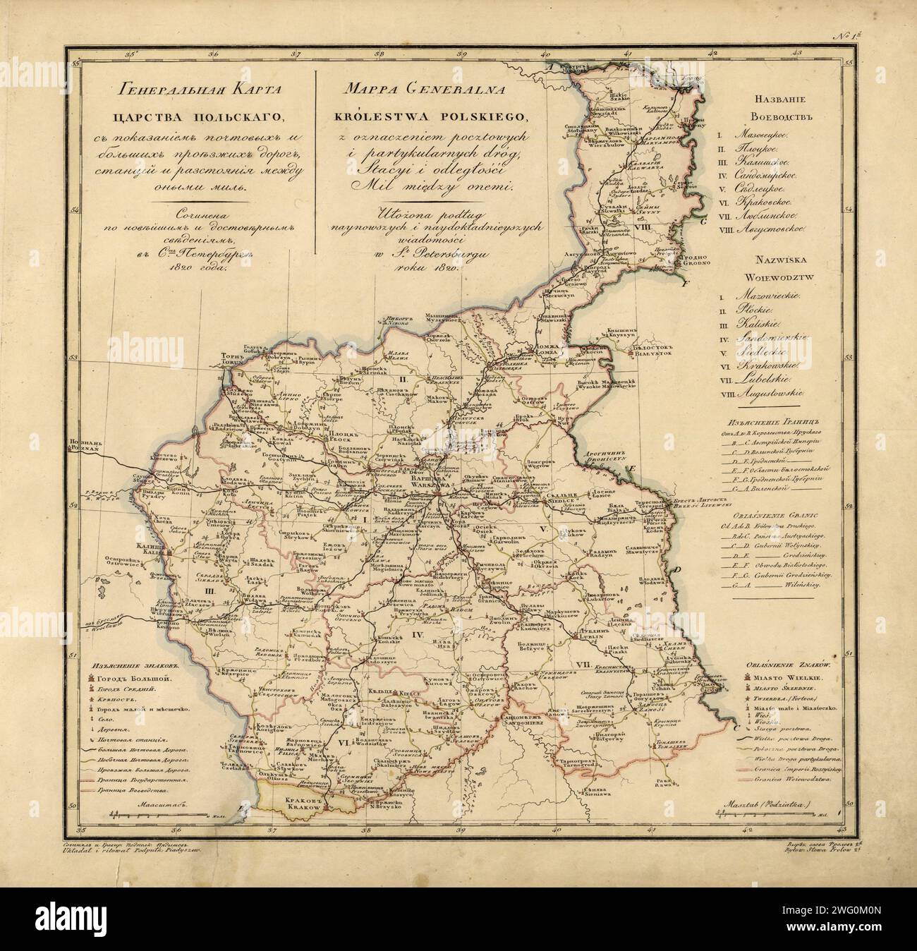 General Map of the Polish Empire: Showing Postal and Major Roads, Stations and the Distance in Miles Between Them, 1820. This 1820 map of the Polish Empire, then part of the Russian Empire, is from a larger work,Geograficheskii atlas Rossiiskoi imperii, tsarstva Pol'skogo i velikogo kniazhestva Finliandskogo (Geographical atlas of the Russian Empire, the Kingdom of Poland, and the Grand Duchy of Finland), containing 60 maps of the Russian Empire. Compiled and engraved by Colonel V.P. Piadyshev, it reflects the detailed mapping carried out by Russian military cartographers in the first quarter Stock Photohttps://www.alamy.com/image-license-details/?v=1https://www.alamy.com/general-map-of-the-polish-empire-showing-postal-and-major-roads-stations-and-the-distance-in-miles-between-them-1820-this-1820-map-of-the-polish-empire-then-part-of-the-russian-empire-is-from-a-larger-workgeograficheskii-atlas-rossiiskoi-imperii-tsarstva-polskogo-i-velikogo-kniazhestva-finliandskogo-geographical-atlas-of-the-russian-empire-the-kingdom-of-poland-and-the-grand-duchy-of-finland-containing-60-maps-of-the-russian-empire-compiled-and-engraved-by-colonel-vp-piadyshev-it-reflects-the-detailed-mapping-carried-out-by-russian-military-cartographers-in-the-first-quarter-image595002709.html
RM2WG0M0N–General Map of the Polish Empire: Showing Postal and Major Roads, Stations and the Distance in Miles Between Them, 1820. This 1820 map of the Polish Empire, then part of the Russian Empire, is from a larger work,Geograficheskii atlas Rossiiskoi imperii, tsarstva Pol'skogo i velikogo kniazhestva Finliandskogo (Geographical atlas of the Russian Empire, the Kingdom of Poland, and the Grand Duchy of Finland), containing 60 maps of the Russian Empire. Compiled and engraved by Colonel V.P. Piadyshev, it reflects the detailed mapping carried out by Russian military cartographers in the first quarter
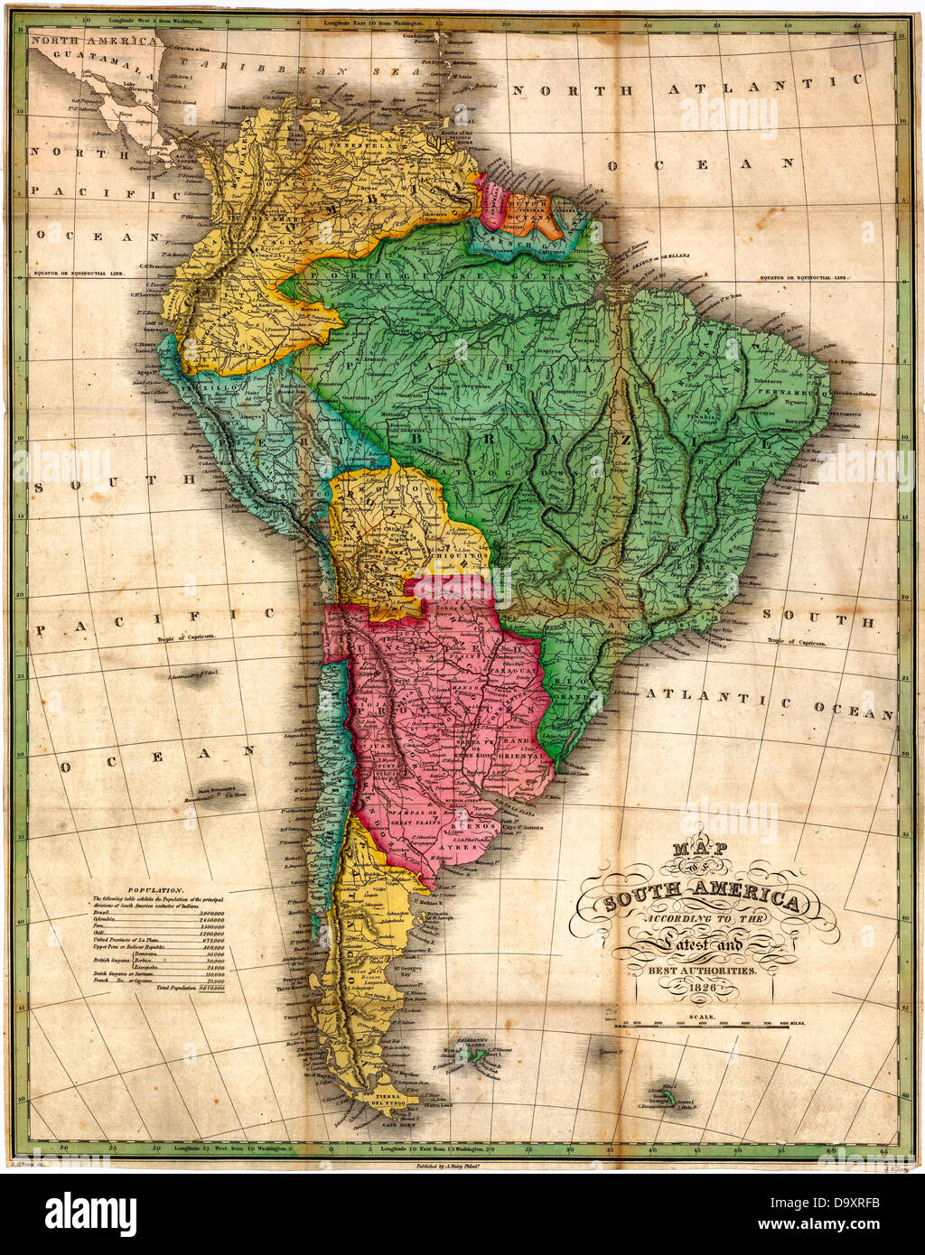 Map of South America, circa 1826 Stock Photohttps://www.alamy.com/image-license-details/?v=1https://www.alamy.com/stock-photo-map-of-south-america-circa-1826-57752223.html
RMD9XRFB–Map of South America, circa 1826
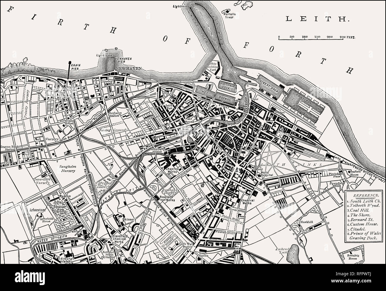 Plan of Leith, 1883, Edinburgh, Scotland Stock Photohttps://www.alamy.com/image-license-details/?v=1https://www.alamy.com/plan-of-leith-1883-edinburgh-scotland-image233457858.html
RMRFPWTJ–Plan of Leith, 1883, Edinburgh, Scotland
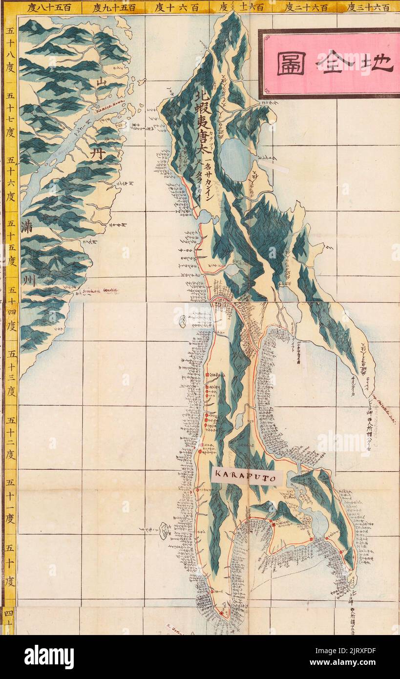 Japanese map of Karafuto (Sakhalin) and part of eastern Russia, 1823 Stock Photohttps://www.alamy.com/image-license-details/?v=1https://www.alamy.com/japanese-map-of-karafuto-sakhalin-and-part-of-eastern-russia-1823-image479399915.html
RM2JRXFDF–Japanese map of Karafuto (Sakhalin) and part of eastern Russia, 1823
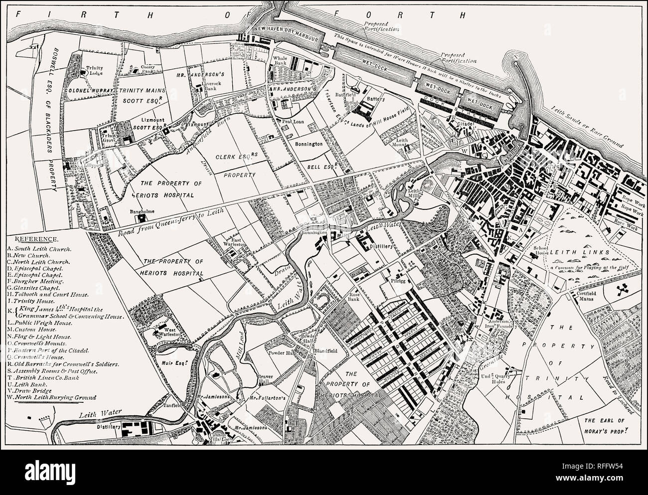 Plan of Leith, 1804, Edinburgh, Scotland Stock Photohttps://www.alamy.com/image-license-details/?v=1https://www.alamy.com/plan-of-leith-1804-edinburgh-scotland-image233303648.html
RMRFFW54–Plan of Leith, 1804, Edinburgh, Scotland
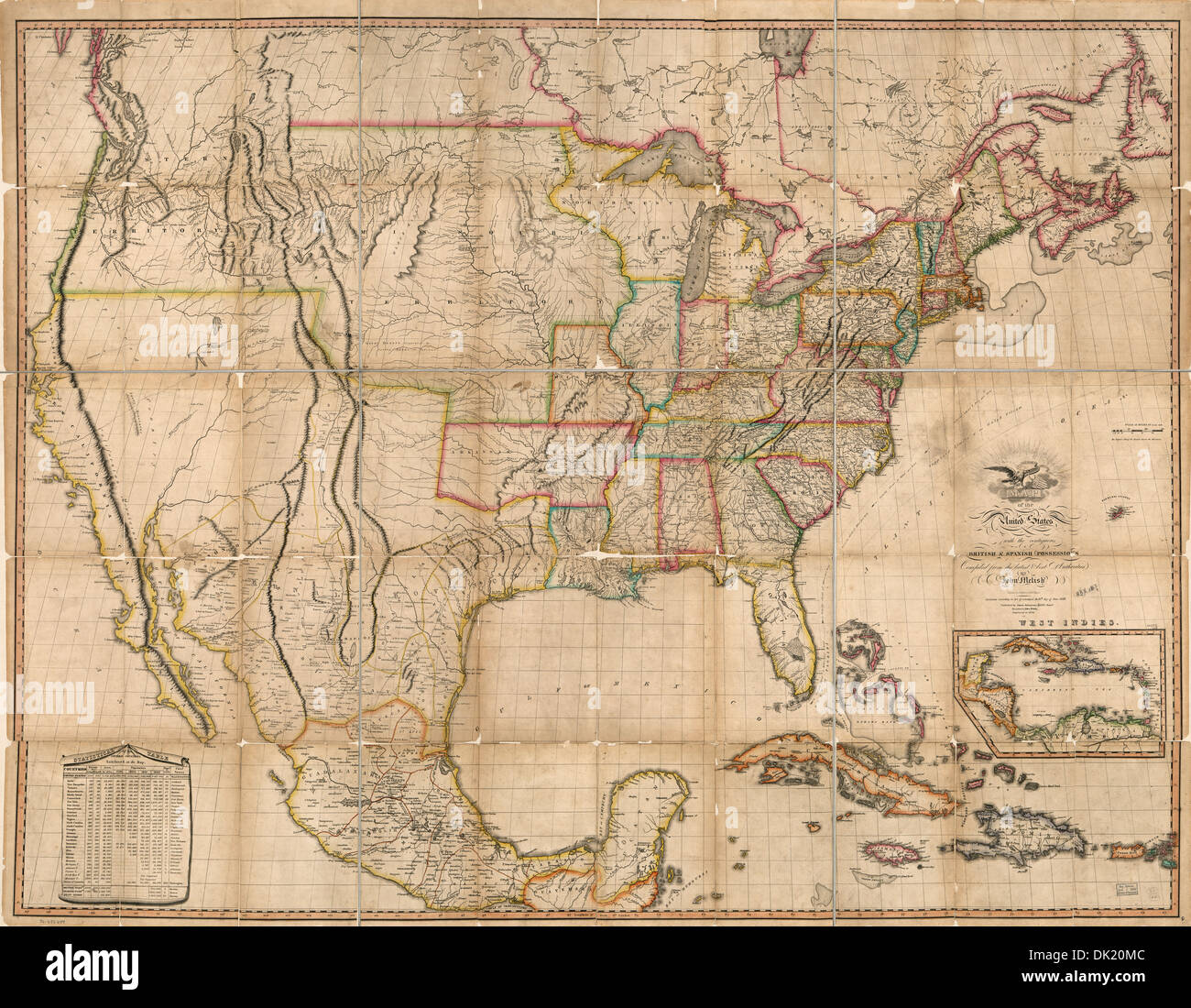 Map of the United States of America : with the contiguous British and Spanish possessions 1823 Stock Photohttps://www.alamy.com/image-license-details/?v=1https://www.alamy.com/map-of-the-united-states-of-america-with-the-contiguous-british-and-image63354044.html
RMDK20MC–Map of the United States of America : with the contiguous British and Spanish possessions 1823
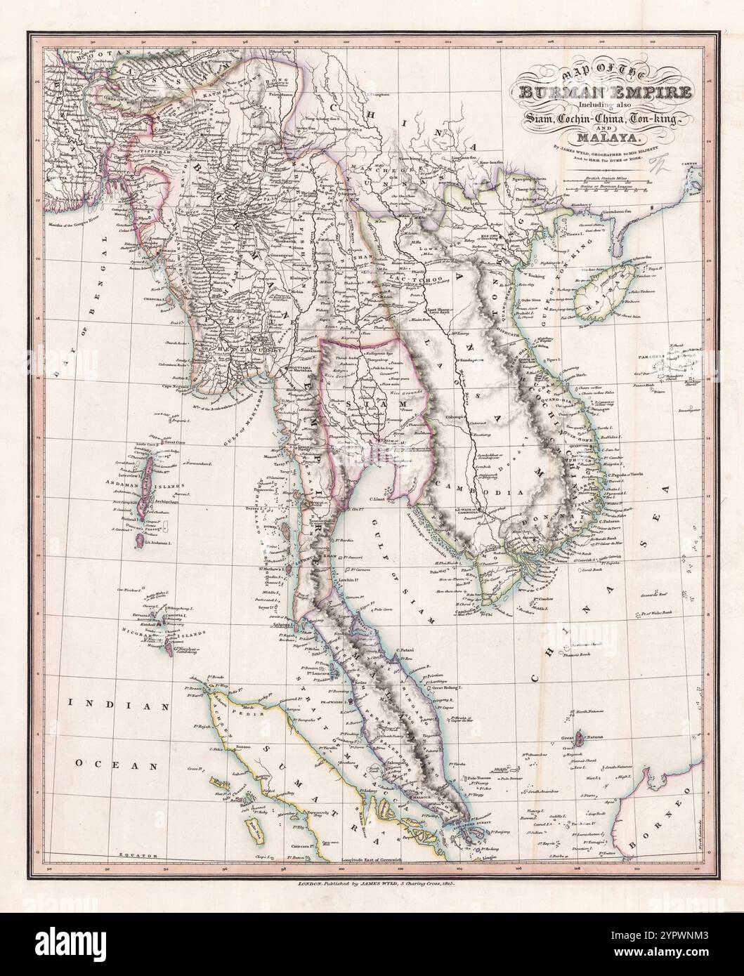 Vintage Map of the Burman Empire including also Siam, Cochin-China, Ton-King and Malaya / by James Wyld, 1825 Stock Photohttps://www.alamy.com/image-license-details/?v=1https://www.alamy.com/vintage-map-of-the-burman-empire-including-also-siam-cochin-china-ton-king-and-malaya-by-james-wyld-1825-image633661507.html
RM2YPWNM3–Vintage Map of the Burman Empire including also Siam, Cochin-China, Ton-King and Malaya / by James Wyld, 1825
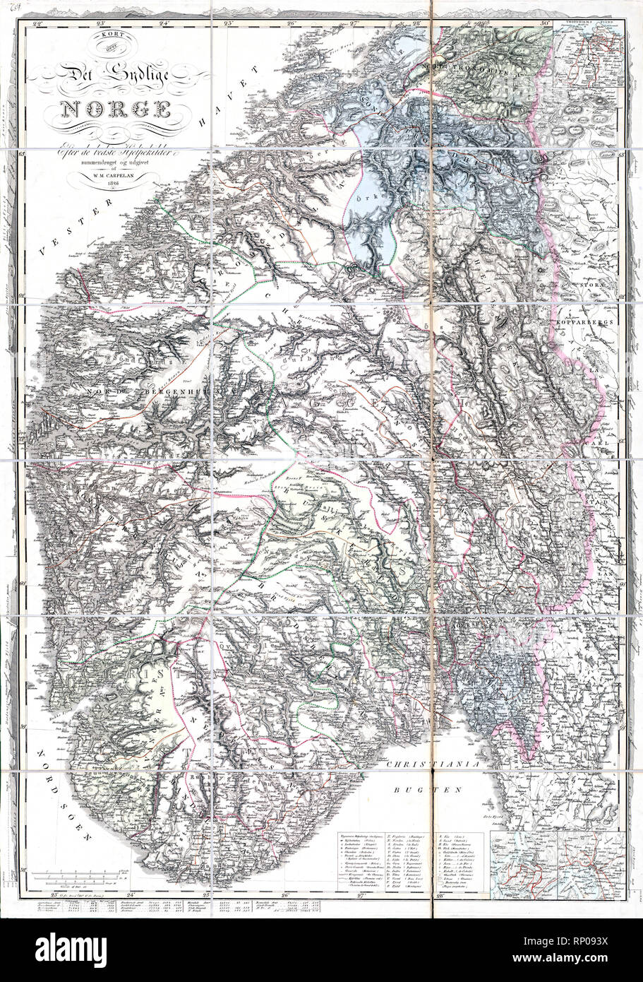 Carpelans kart over det sydlige Norge, 1826 Stock Photohttps://www.alamy.com/image-license-details/?v=1https://www.alamy.com/carpelans-kart-over-det-sydlige-norge-1826-image237264382.html
RMRP093X–Carpelans kart over det sydlige Norge, 1826
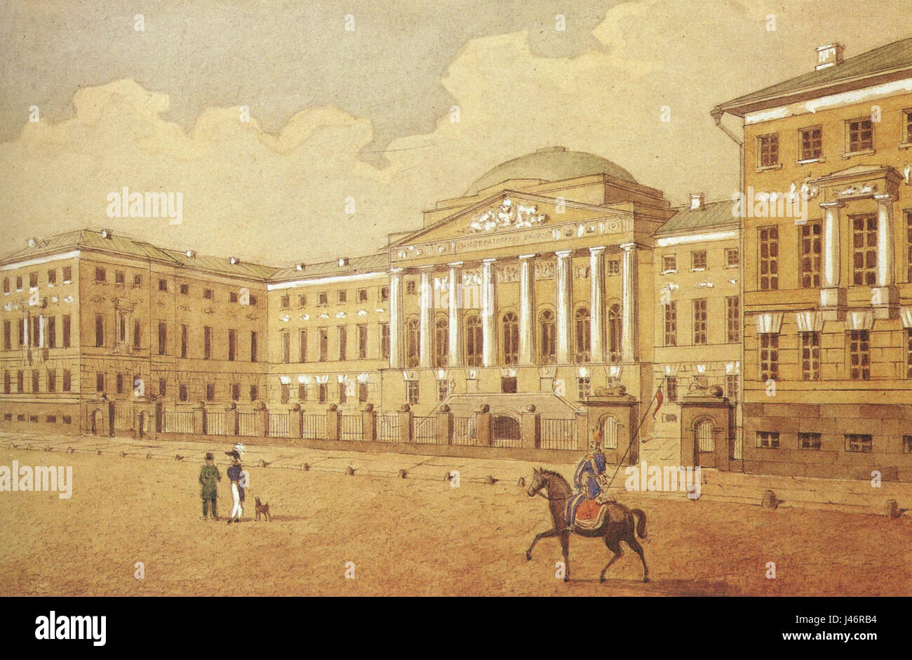 Moscow University, 1820s Stock Photohttps://www.alamy.com/image-license-details/?v=1https://www.alamy.com/stock-photo-moscow-university-1820s-140291624.html
RMJ46RB4–Moscow University, 1820s
![A FRONT VIEW OF THE CHAPEL BELONGING TO THE ST. MARTIN IN THE FIELDS, Author Trimlet, T 29.6. Place of publication: [London] Publisher: [unknown publisher]., Date of publication: [1790s-1820s] Item type: 1 print Medium: etching and engraving Dimensions: sheet 56.2 x 45.3 cm [trimmed within platemark] Former owner: George III, King of Great Britain, 1738-1820 Stock Photo A FRONT VIEW OF THE CHAPEL BELONGING TO THE ST. MARTIN IN THE FIELDS, Author Trimlet, T 29.6. Place of publication: [London] Publisher: [unknown publisher]., Date of publication: [1790s-1820s] Item type: 1 print Medium: etching and engraving Dimensions: sheet 56.2 x 45.3 cm [trimmed within platemark] Former owner: George III, King of Great Britain, 1738-1820 Stock Photo](https://c8.alamy.com/comp/2E9HK13/a-front-view-of-the-chapel-belonging-to-the-st-martin-in-the-fields-author-trimlet-t-296-place-of-publication-london-publisher-unknown-publisher-date-of-publication-1790s-1820s-item-type-1-print-medium-etching-and-engraving-dimensions-sheet-562-x-453-cm-trimmed-within-platemark-former-owner-george-iii-king-of-great-britain-1738-1820-2E9HK13.jpg) A FRONT VIEW OF THE CHAPEL BELONGING TO THE ST. MARTIN IN THE FIELDS, Author Trimlet, T 29.6. Place of publication: [London] Publisher: [unknown publisher]., Date of publication: [1790s-1820s] Item type: 1 print Medium: etching and engraving Dimensions: sheet 56.2 x 45.3 cm [trimmed within platemark] Former owner: George III, King of Great Britain, 1738-1820 Stock Photohttps://www.alamy.com/image-license-details/?v=1https://www.alamy.com/a-front-view-of-the-chapel-belonging-to-the-st-martin-in-the-fields-author-trimlet-t-296-place-of-publication-london-publisher-unknown-publisher-date-of-publication-1790s-1820s-item-type-1-print-medium-etching-and-engraving-dimensions-sheet-562-x-453-cm-trimmed-within-platemark-former-owner-george-iii-king-of-great-britain-1738-1820-image401758479.html
A FRONT VIEW OF THE CHAPEL BELONGING TO THE ST. MARTIN IN THE FIELDS, Author Trimlet, T 29.6. Place of publication: [London] Publisher: [unknown publisher]., Date of publication: [1790s-1820s] Item type: 1 print Medium: etching and engraving Dimensions: sheet 56.2 x 45.3 cm [trimmed within platemark] Former owner: George III, King of Great Britain, 1738-1820 Stock Photohttps://www.alamy.com/image-license-details/?v=1https://www.alamy.com/a-front-view-of-the-chapel-belonging-to-the-st-martin-in-the-fields-author-trimlet-t-296-place-of-publication-london-publisher-unknown-publisher-date-of-publication-1790s-1820s-item-type-1-print-medium-etching-and-engraving-dimensions-sheet-562-x-453-cm-trimmed-within-platemark-former-owner-george-iii-king-of-great-britain-1738-1820-image401758479.htmlRM2E9HK13–A FRONT VIEW OF THE CHAPEL BELONGING TO THE ST. MARTIN IN THE FIELDS, Author Trimlet, T 29.6. Place of publication: [London] Publisher: [unknown publisher]., Date of publication: [1790s-1820s] Item type: 1 print Medium: etching and engraving Dimensions: sheet 56.2 x 45.3 cm [trimmed within platemark] Former owner: George III, King of Great Britain, 1738-1820
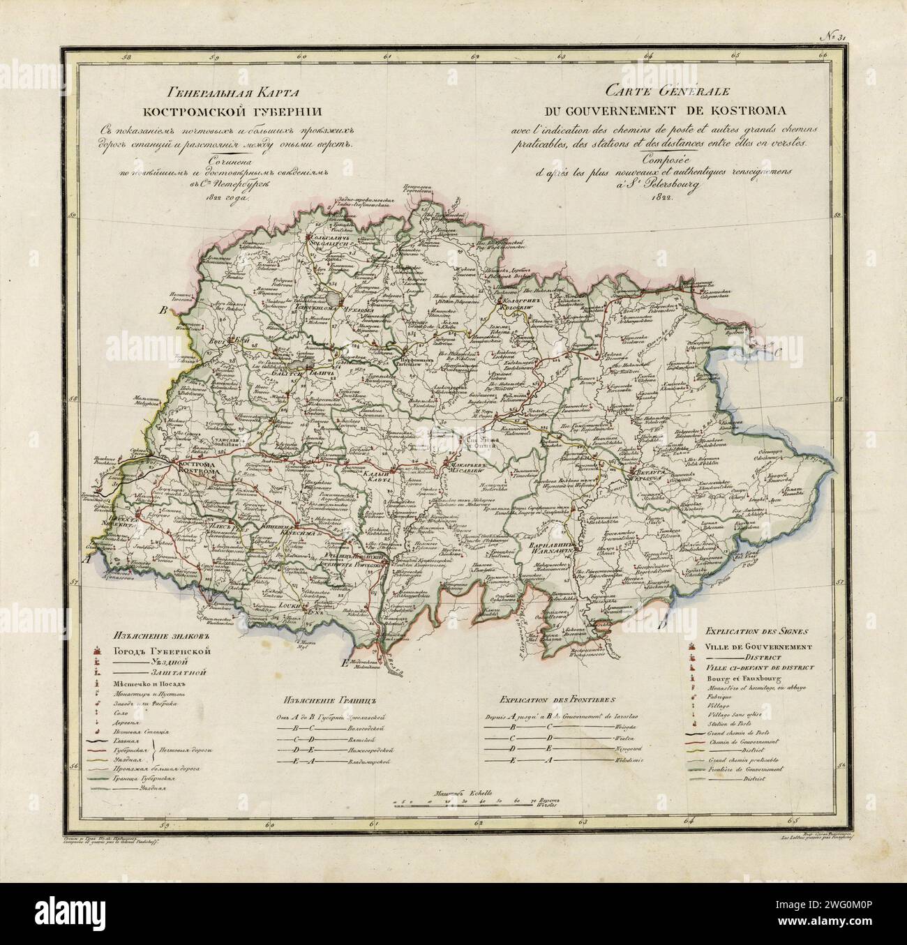 General Map of Kostroma Province: Showing Postal and Major Roads, Stations and the Distance in Versts between Them, 1822. This 1822 map of Kostroma Provinceis from a larger work,Geograficheskii atlas Rossiiskoi imperii, tsarstva Pol'skogo i velikogo kniazhestva Finliandskogo(Geographical atlas of the Russian Empire, the Kingdom of Poland, and the Grand Duchy of Finland), containing 60 maps of the Russian Empire. Compiled and engraved by Colonel V.P. Piadyshev, it reflects the detailed mapping carried out by Russian military cartographers in the first quarter of the 19th century. The map shows Stock Photohttps://www.alamy.com/image-license-details/?v=1https://www.alamy.com/general-map-of-kostroma-province-showing-postal-and-major-roads-stations-and-the-distance-in-versts-between-them-1822-this-1822-map-of-kostroma-provinceis-from-a-larger-workgeograficheskii-atlas-rossiiskoi-imperii-tsarstva-polskogo-i-velikogo-kniazhestva-finliandskogogeographical-atlas-of-the-russian-empire-the-kingdom-of-poland-and-the-grand-duchy-of-finland-containing-60-maps-of-the-russian-empire-compiled-and-engraved-by-colonel-vp-piadyshev-it-reflects-the-detailed-mapping-carried-out-by-russian-military-cartographers-in-the-first-quarter-of-the-19th-century-the-map-shows-image595002710.html
RM2WG0M0P–General Map of Kostroma Province: Showing Postal and Major Roads, Stations and the Distance in Versts between Them, 1822. This 1822 map of Kostroma Provinceis from a larger work,Geograficheskii atlas Rossiiskoi imperii, tsarstva Pol'skogo i velikogo kniazhestva Finliandskogo(Geographical atlas of the Russian Empire, the Kingdom of Poland, and the Grand Duchy of Finland), containing 60 maps of the Russian Empire. Compiled and engraved by Colonel V.P. Piadyshev, it reflects the detailed mapping carried out by Russian military cartographers in the first quarter of the 19th century. The map shows
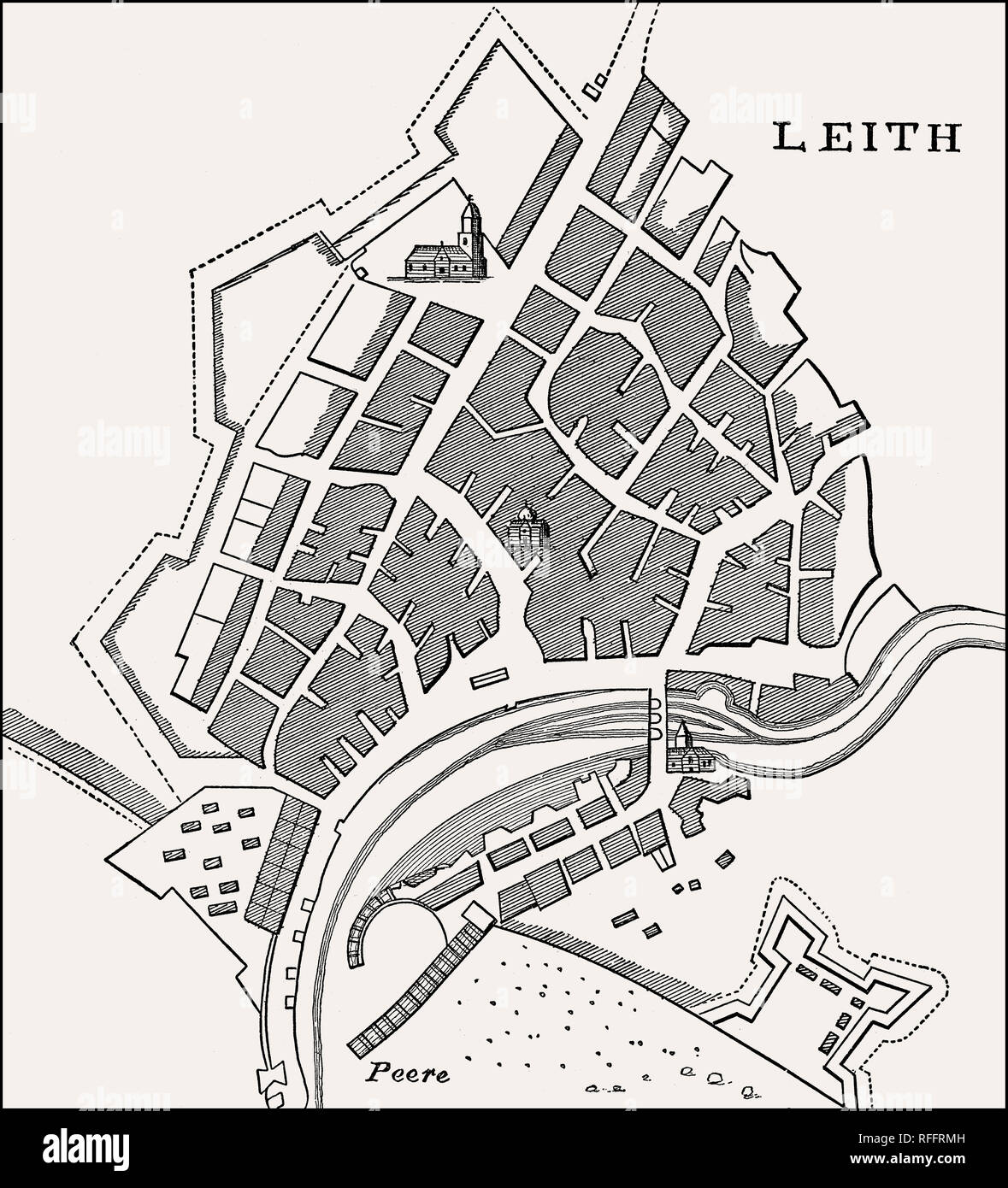 Plan of Leith, Edinburgh, Scotland, 1693 Stock Photohttps://www.alamy.com/image-license-details/?v=1https://www.alamy.com/plan-of-leith-edinburgh-scotland-1693-image233302513.html
RMRFFRMH–Plan of Leith, Edinburgh, Scotland, 1693
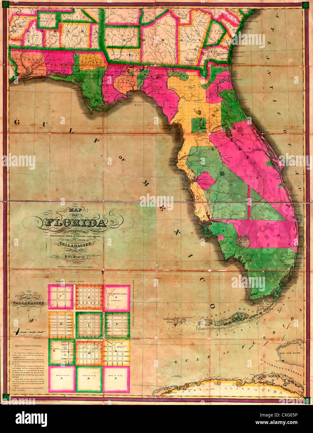 Map of Florida : constructed principally from authentic documents in the land office at Tallahassee - 1829 Stock Photohttps://www.alamy.com/image-license-details/?v=1https://www.alamy.com/stock-photo-map-of-florida-constructed-principally-from-authentic-documents-in-50753186.html
RMCXG05P–Map of Florida : constructed principally from authentic documents in the land office at Tallahassee - 1829
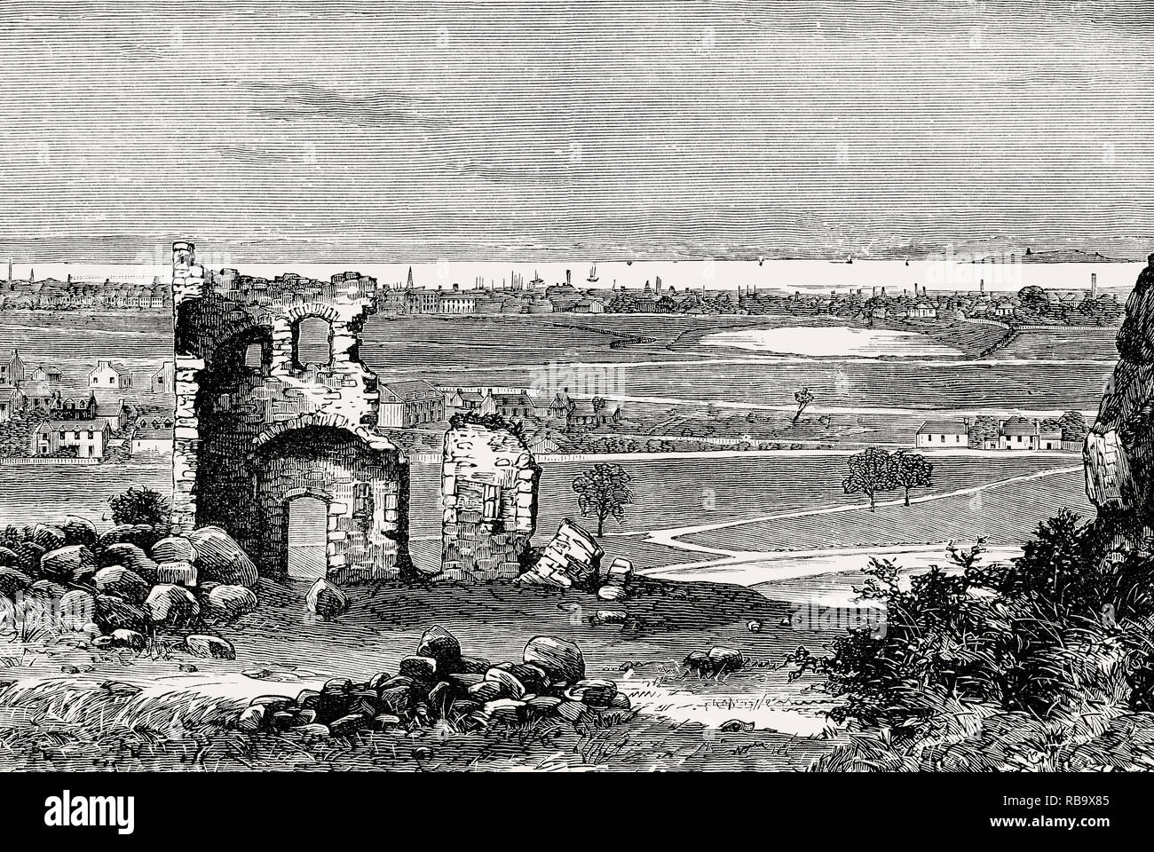 Saint Anthony's Chapel, Edinburgh, Scotland, 18th century Stock Photohttps://www.alamy.com/image-license-details/?v=1https://www.alamy.com/saint-anthonys-chapel-edinburgh-scotland-18th-century-image230714181.html
RMRB9X85–Saint Anthony's Chapel, Edinburgh, Scotland, 18th century
 Vintage Map of the Russian -Turkish War, 1828, Gebroeders Reimeringer. map of Southeastern Europe, the battlefield of the Russian-Turkish War, centering around the Black Sea 1828. German language Stock Photohttps://www.alamy.com/image-license-details/?v=1https://www.alamy.com/vintage-map-of-the-russian-turkish-war-1828-gebroeders-reimeringer-map-of-southeastern-europe-the-battlefield-of-the-russian-turkish-war-centering-around-the-black-sea-1828-german-language-image614769741.html
RM2XM5525–Vintage Map of the Russian -Turkish War, 1828, Gebroeders Reimeringer. map of Southeastern Europe, the battlefield of the Russian-Turkish War, centering around the Black Sea 1828. German language
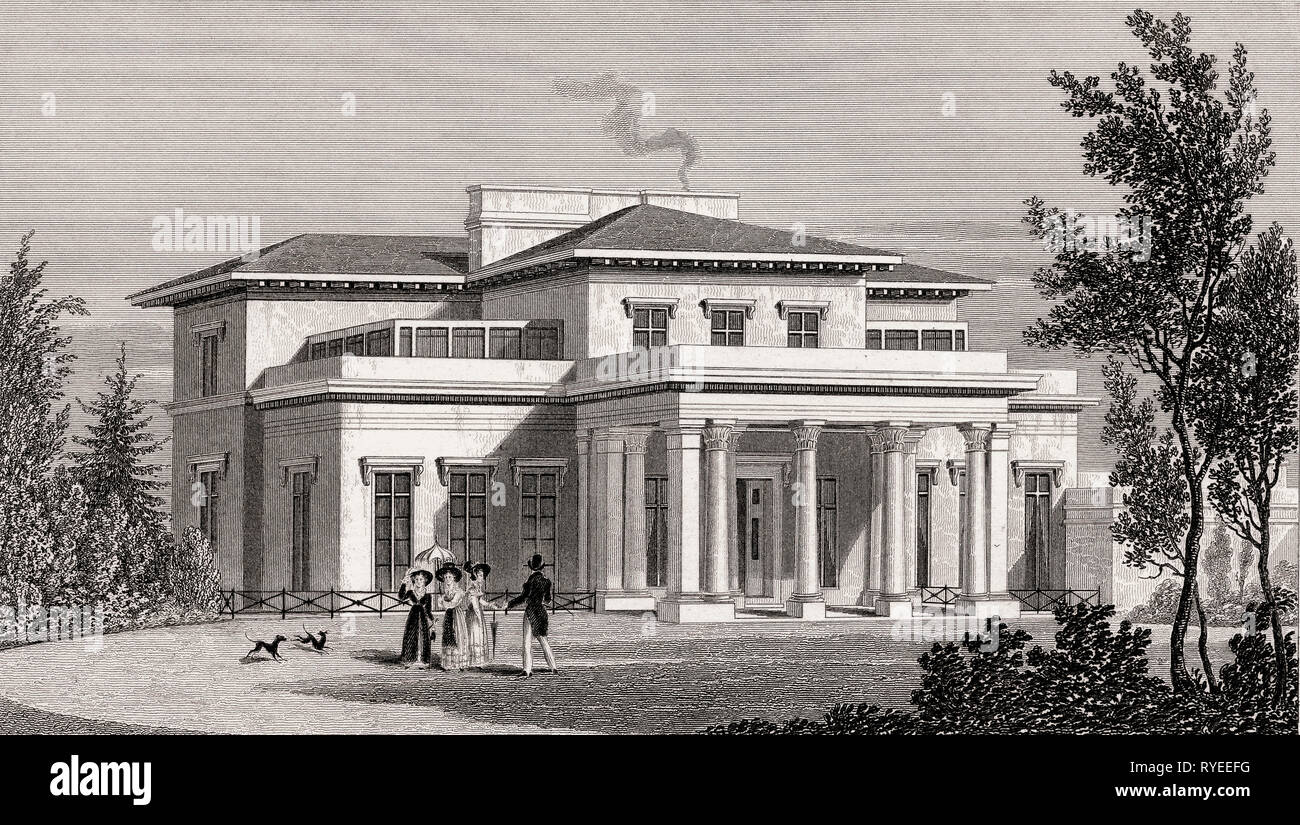 Villa in the Regent's Park, London, UK, illustration by Th. H. Shepherd, 1826 Stock Photohttps://www.alamy.com/image-license-details/?v=1https://www.alamy.com/villa-in-the-regents-park-london-uk-illustration-by-th-h-shepherd-1826-image240649236.html
RMRYEEFG–Villa in the Regent's Park, London, UK, illustration by Th. H. Shepherd, 1826
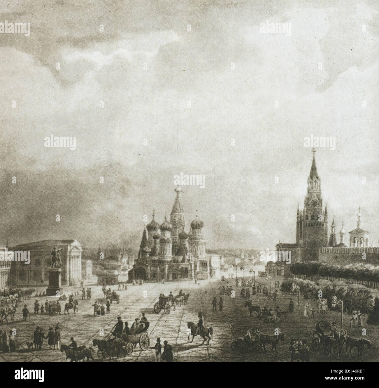 Moscow, Red Square, 1820s Stock Photohttps://www.alamy.com/image-license-details/?v=1https://www.alamy.com/stock-photo-moscow-red-square-1820s-140291635.html
RMJ46RBF–Moscow, Red Square, 1820s
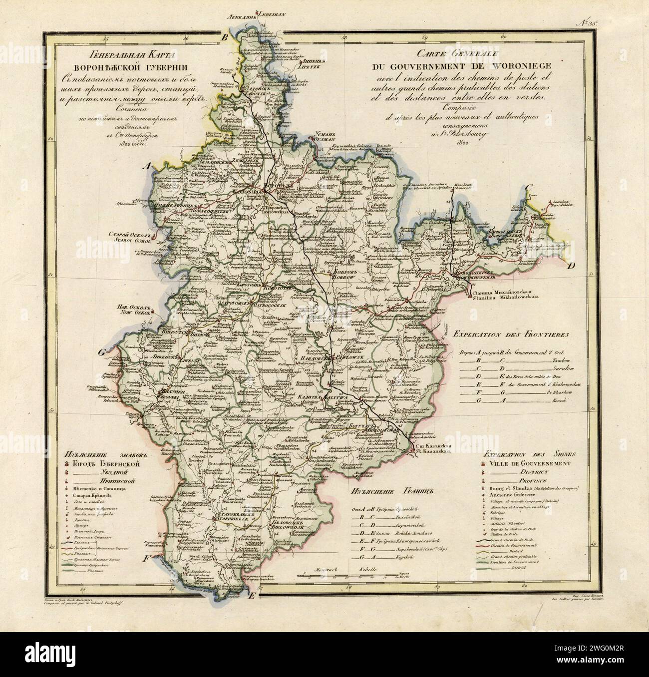 General Map of Voronezh Province: Showing Postal and Major Roads, Stations and the Distance in Versts between Them, 1822. This 1822 map of Voronezh Provinceis from a larger work,Geograficheskii atlas Rossiiskoi imperii, tsarstva Pol'skogo i velikogo kniazhestva Finliandskogo(Geographical atlas of the Russian Empire, the Kingdom of Poland, and the Grand Duchy of Finland), containing 60 maps of the Russian Empire. Compiled and engraved by Colonel V.P. Piadyshev, it reflects the detailed mapping carried out by Russian military cartographers in the first quarter of the 19th century. The map shows Stock Photohttps://www.alamy.com/image-license-details/?v=1https://www.alamy.com/general-map-of-voronezh-province-showing-postal-and-major-roads-stations-and-the-distance-in-versts-between-them-1822-this-1822-map-of-voronezh-provinceis-from-a-larger-workgeograficheskii-atlas-rossiiskoi-imperii-tsarstva-polskogo-i-velikogo-kniazhestva-finliandskogogeographical-atlas-of-the-russian-empire-the-kingdom-of-poland-and-the-grand-duchy-of-finland-containing-60-maps-of-the-russian-empire-compiled-and-engraved-by-colonel-vp-piadyshev-it-reflects-the-detailed-mapping-carried-out-by-russian-military-cartographers-in-the-first-quarter-of-the-19th-century-the-map-shows-image595002767.html
RM2WG0M2R–General Map of Voronezh Province: Showing Postal and Major Roads, Stations and the Distance in Versts between Them, 1822. This 1822 map of Voronezh Provinceis from a larger work,Geograficheskii atlas Rossiiskoi imperii, tsarstva Pol'skogo i velikogo kniazhestva Finliandskogo(Geographical atlas of the Russian Empire, the Kingdom of Poland, and the Grand Duchy of Finland), containing 60 maps of the Russian Empire. Compiled and engraved by Colonel V.P. Piadyshev, it reflects the detailed mapping carried out by Russian military cartographers in the first quarter of the 19th century. The map shows
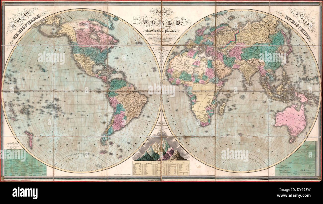 The world, on a globular projection, exhibiting the geographical researches of modern travellers & navigators 1826 Stock Photohttps://www.alamy.com/image-license-details/?v=1https://www.alamy.com/the-world-on-a-globular-projection-exhibiting-the-geographical-researches-image68365833.html
RMDY698W–The world, on a globular projection, exhibiting the geographical researches of modern travellers & navigators 1826
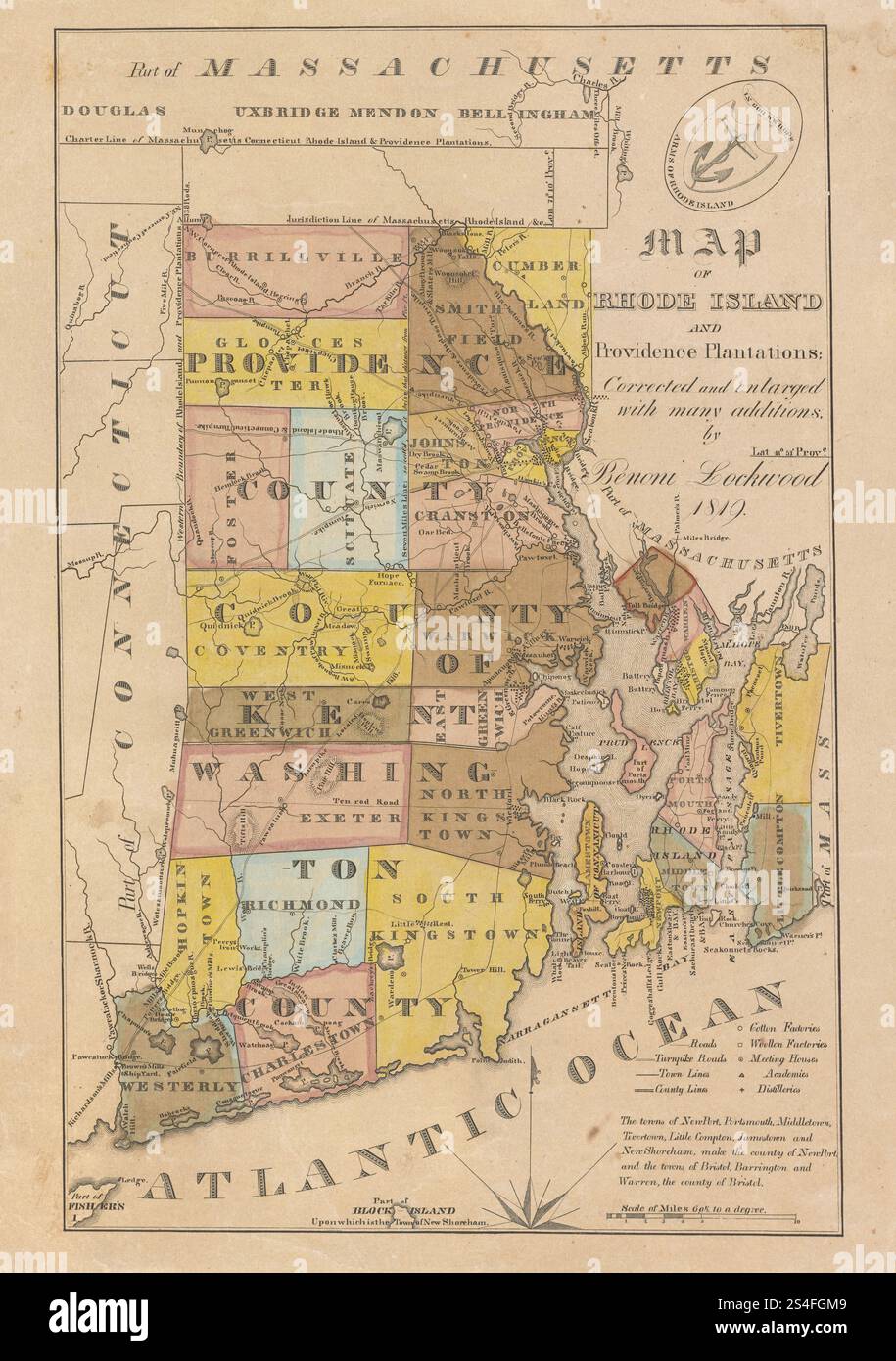 Vintage Map of Rhode Island and Providence Plantations: corrected and enlarged with many additions ' (1819). Stock Photohttps://www.alamy.com/image-license-details/?v=1https://www.alamy.com/vintage-map-of-rhode-island-and-providence-plantations-corrected-and-enlarged-with-many-additions-1819-image639584633.html
RM2S4FGM9–Vintage Map of Rhode Island and Providence Plantations: corrected and enlarged with many additions ' (1819).
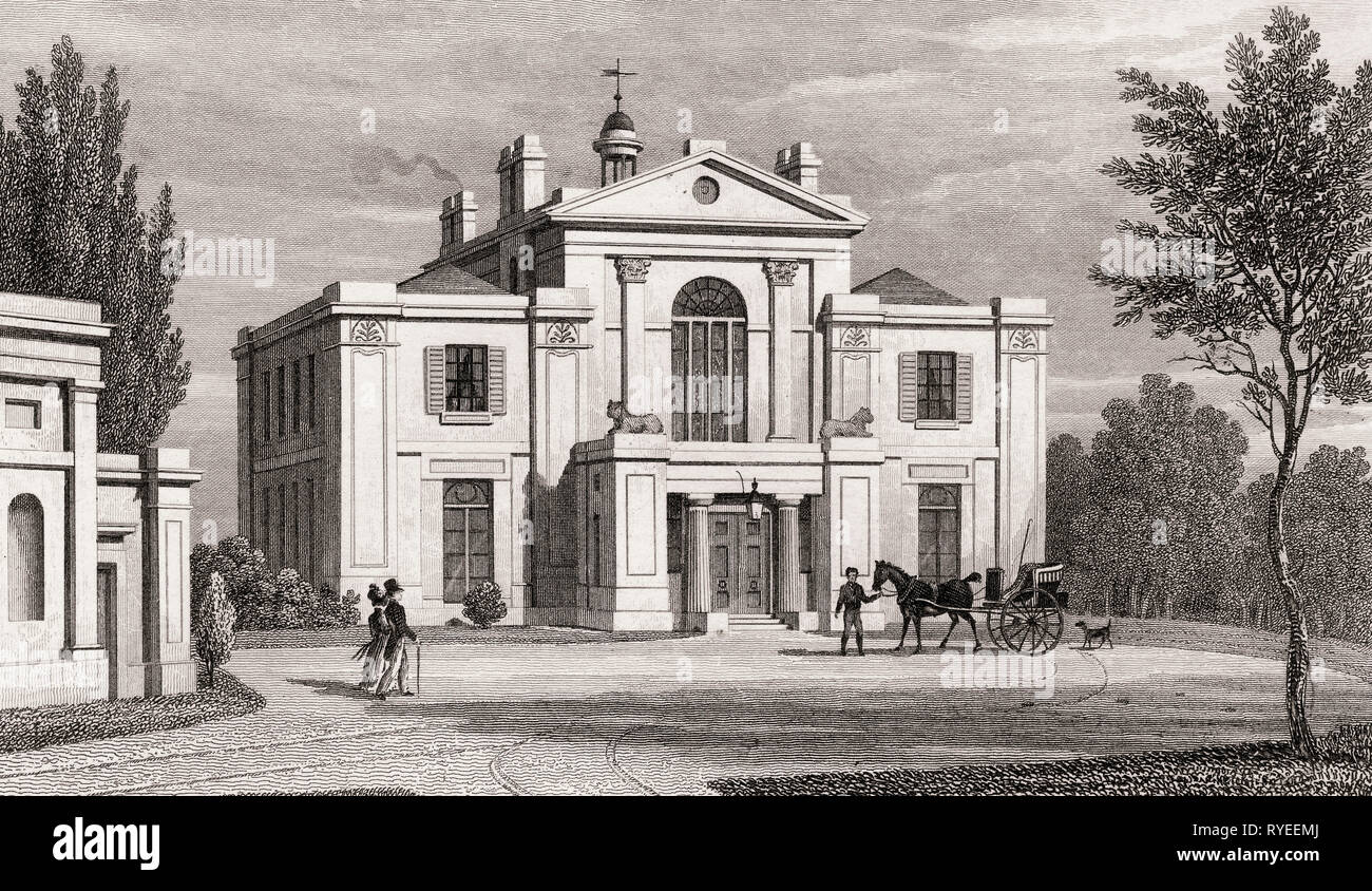 Villa in the Regent's Park, London, UK, illustration by Th. H. Shepherd, 1826 Stock Photohttps://www.alamy.com/image-license-details/?v=1https://www.alamy.com/villa-in-the-regents-park-london-uk-illustration-by-th-h-shepherd-1826-image240649378.html
RMRYEEMJ–Villa in the Regent's Park, London, UK, illustration by Th. H. Shepherd, 1826
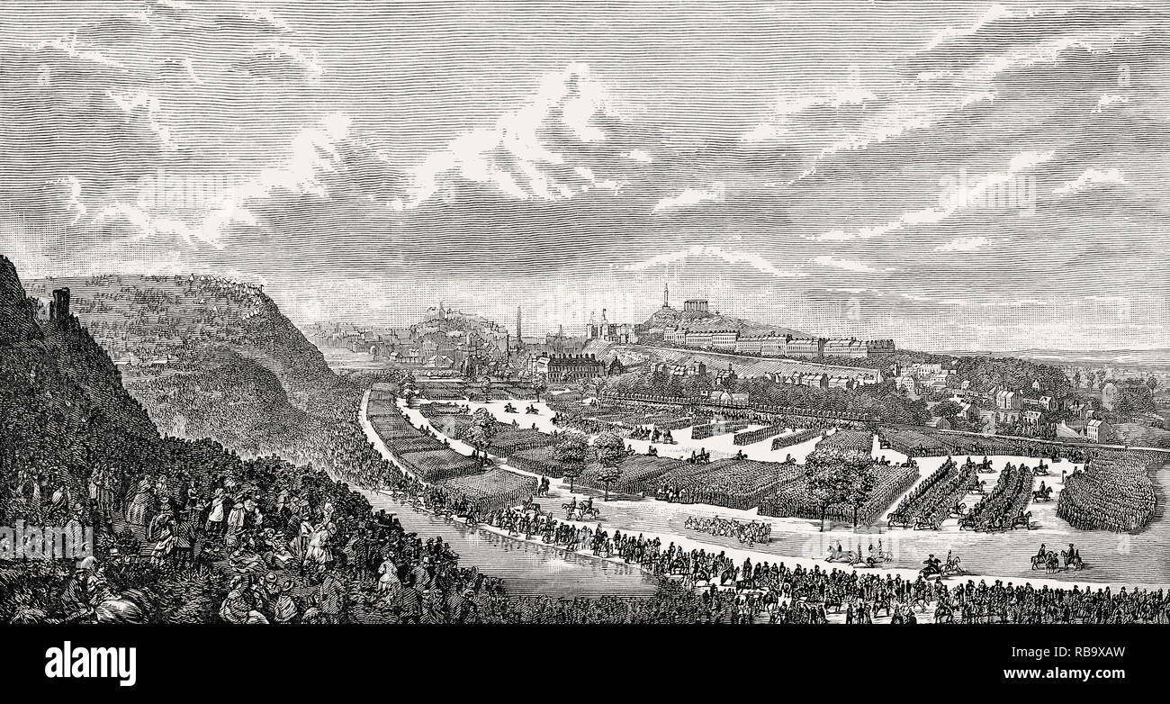 The Volunteer Review in the Queen's Park, 1860, Edinburgh, Scotland Stock Photohttps://www.alamy.com/image-license-details/?v=1https://www.alamy.com/the-volunteer-review-in-the-queens-park-1860-edinburgh-scotland-image230714257.html
RMRB9XAW–The Volunteer Review in the Queen's Park, 1860, Edinburgh, Scotland
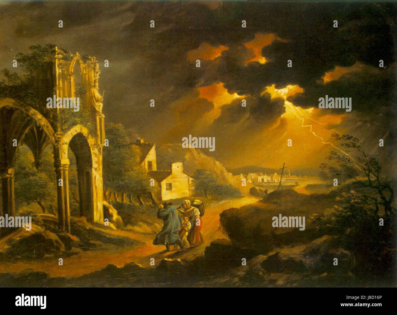 Kisfaludy Storm at Night 1820s Stock Photohttps://www.alamy.com/image-license-details/?v=1https://www.alamy.com/stock-photo-kisfaludy-storm-at-night-1820s-142886542.html
RMJ8D16P–Kisfaludy Storm at Night 1820s
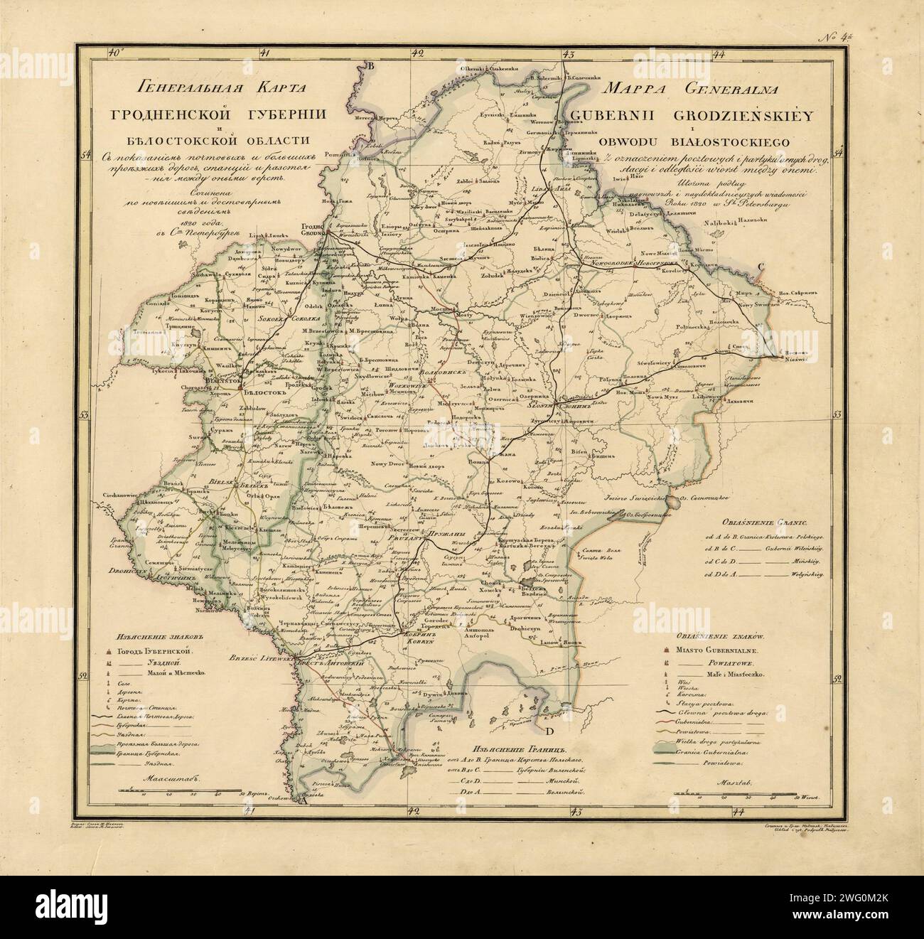 General Map of Grodno Province and the Belostok Region: Showing Postal and Major Roads, Stations and the Distance in Versts between Them, 1820. This 1820 map of Grodno Province and the Belostok region is from a larger work,Geograficheskii atlas Rossiiskoi imperii, tsarstva Pol'skogo i velikogo kniazhestva Finliandskogo (Geographical atlas of the Russian Empire, the Kingdom of Poland, and the Grand Duchy of Finland), containing 60 maps of the Russian Empire. Compiled and engraved by Colonel V.P. Piadyshev, it reflects the detailed mapping carried out by Russian military cartographers in the fir Stock Photohttps://www.alamy.com/image-license-details/?v=1https://www.alamy.com/general-map-of-grodno-province-and-the-belostok-region-showing-postal-and-major-roads-stations-and-the-distance-in-versts-between-them-1820-this-1820-map-of-grodno-province-and-the-belostok-region-is-from-a-larger-workgeograficheskii-atlas-rossiiskoi-imperii-tsarstva-polskogo-i-velikogo-kniazhestva-finliandskogo-geographical-atlas-of-the-russian-empire-the-kingdom-of-poland-and-the-grand-duchy-of-finland-containing-60-maps-of-the-russian-empire-compiled-and-engraved-by-colonel-vp-piadyshev-it-reflects-the-detailed-mapping-carried-out-by-russian-military-cartographers-in-the-fir-image595002763.html
RM2WG0M2K–General Map of Grodno Province and the Belostok Region: Showing Postal and Major Roads, Stations and the Distance in Versts between Them, 1820. This 1820 map of Grodno Province and the Belostok region is from a larger work,Geograficheskii atlas Rossiiskoi imperii, tsarstva Pol'skogo i velikogo kniazhestva Finliandskogo (Geographical atlas of the Russian Empire, the Kingdom of Poland, and the Grand Duchy of Finland), containing 60 maps of the Russian Empire. Compiled and engraved by Colonel V.P. Piadyshev, it reflects the detailed mapping carried out by Russian military cartographers in the fir
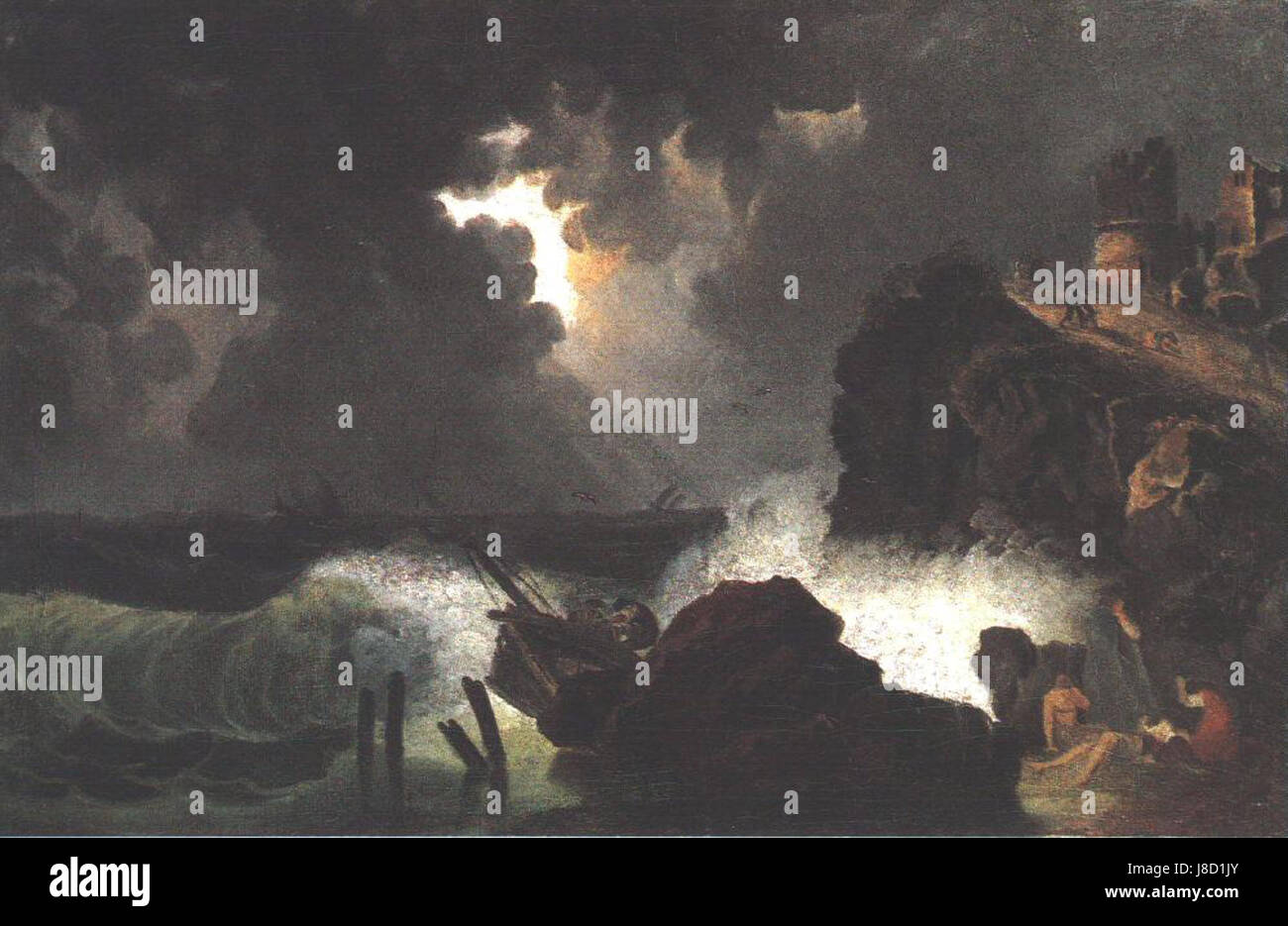 Kisfaludy Maritime Peril 1820s Stock Photohttps://www.alamy.com/image-license-details/?v=1https://www.alamy.com/stock-photo-kisfaludy-maritime-peril-1820s-142886883.html
RMJ8D1JY–Kisfaludy Maritime Peril 1820s
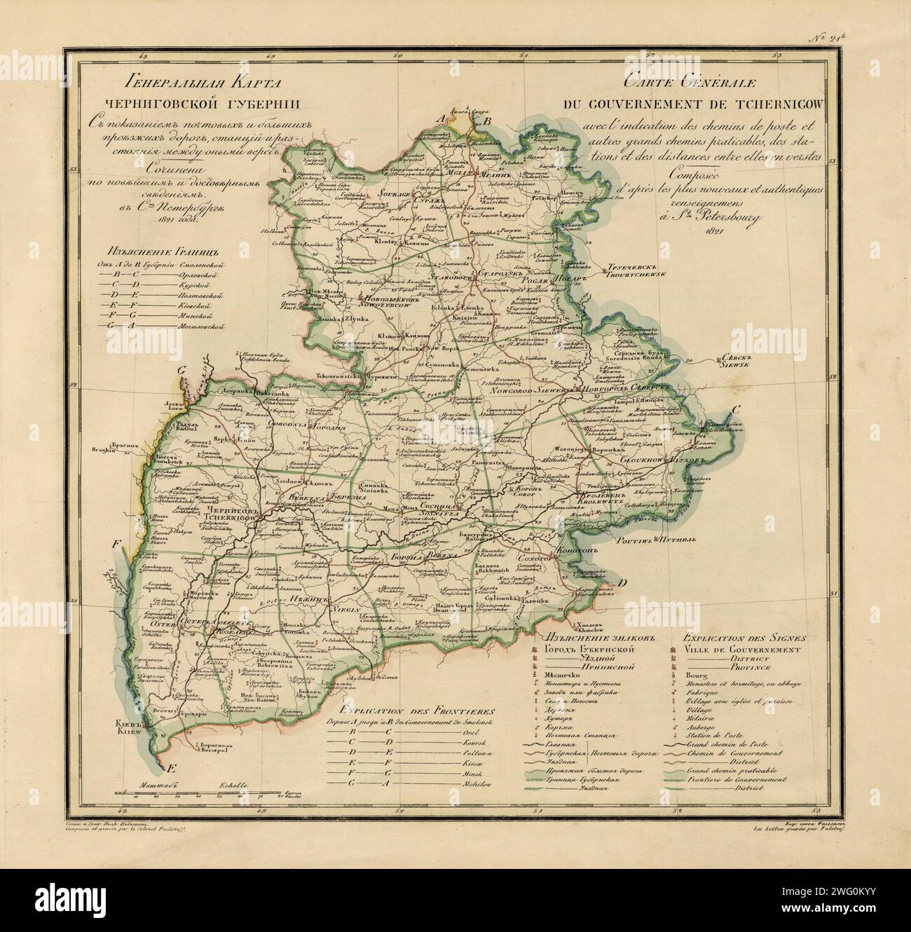 General Map of Chernigov Province: Showing Postal and Major Roads, Stations and the Distance in Versts between Them, 1821. This 1821 map of Chernigov Provinceis from a larger work,Geograficheskii atlas Rossiiskoi imperii, tsarstva Pol'skogo i velikogo kniazhestva Finliandskogo(Geographical atlas of the Russian Empire, the Kingdom of Poland, and the Grand Duchy of Finland), containing 60 maps of the Russian Empire. Compiled and engraved by Colonel V.P. Piadyshev, it reflects the detailed mapping carried out by Russian military cartographers in the first quarter of the 19th century. The map show Stock Photohttps://www.alamy.com/image-license-details/?v=1https://www.alamy.com/general-map-of-chernigov-province-showing-postal-and-major-roads-stations-and-the-distance-in-versts-between-them-1821-this-1821-map-of-chernigov-provinceis-from-a-larger-workgeograficheskii-atlas-rossiiskoi-imperii-tsarstva-polskogo-i-velikogo-kniazhestva-finliandskogogeographical-atlas-of-the-russian-empire-the-kingdom-of-poland-and-the-grand-duchy-of-finland-containing-60-maps-of-the-russian-empire-compiled-and-engraved-by-colonel-vp-piadyshev-it-reflects-the-detailed-mapping-carried-out-by-russian-military-cartographers-in-the-first-quarter-of-the-19th-century-the-map-show-image595002687.html
RM2WG0KYY–General Map of Chernigov Province: Showing Postal and Major Roads, Stations and the Distance in Versts between Them, 1821. This 1821 map of Chernigov Provinceis from a larger work,Geograficheskii atlas Rossiiskoi imperii, tsarstva Pol'skogo i velikogo kniazhestva Finliandskogo(Geographical atlas of the Russian Empire, the Kingdom of Poland, and the Grand Duchy of Finland), containing 60 maps of the Russian Empire. Compiled and engraved by Colonel V.P. Piadyshev, it reflects the detailed mapping carried out by Russian military cartographers in the first quarter of the 19th century. The map show
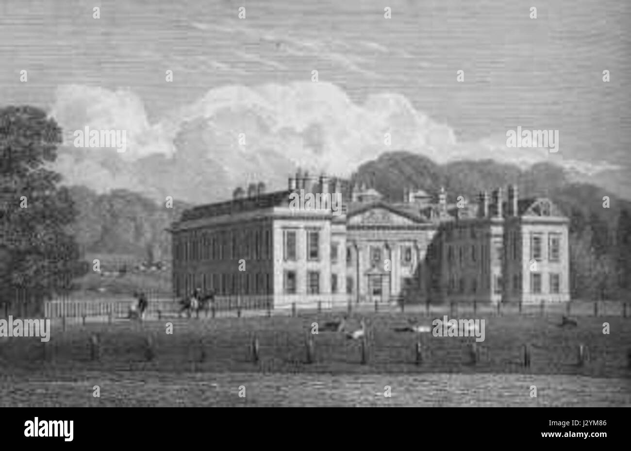 Althorp House in the 1820s Stock Photohttps://www.alamy.com/image-license-details/?v=1https://www.alamy.com/stock-photo-althorp-house-in-the-1820s-139520870.html
RMJ2YM86–Althorp House in the 1820s
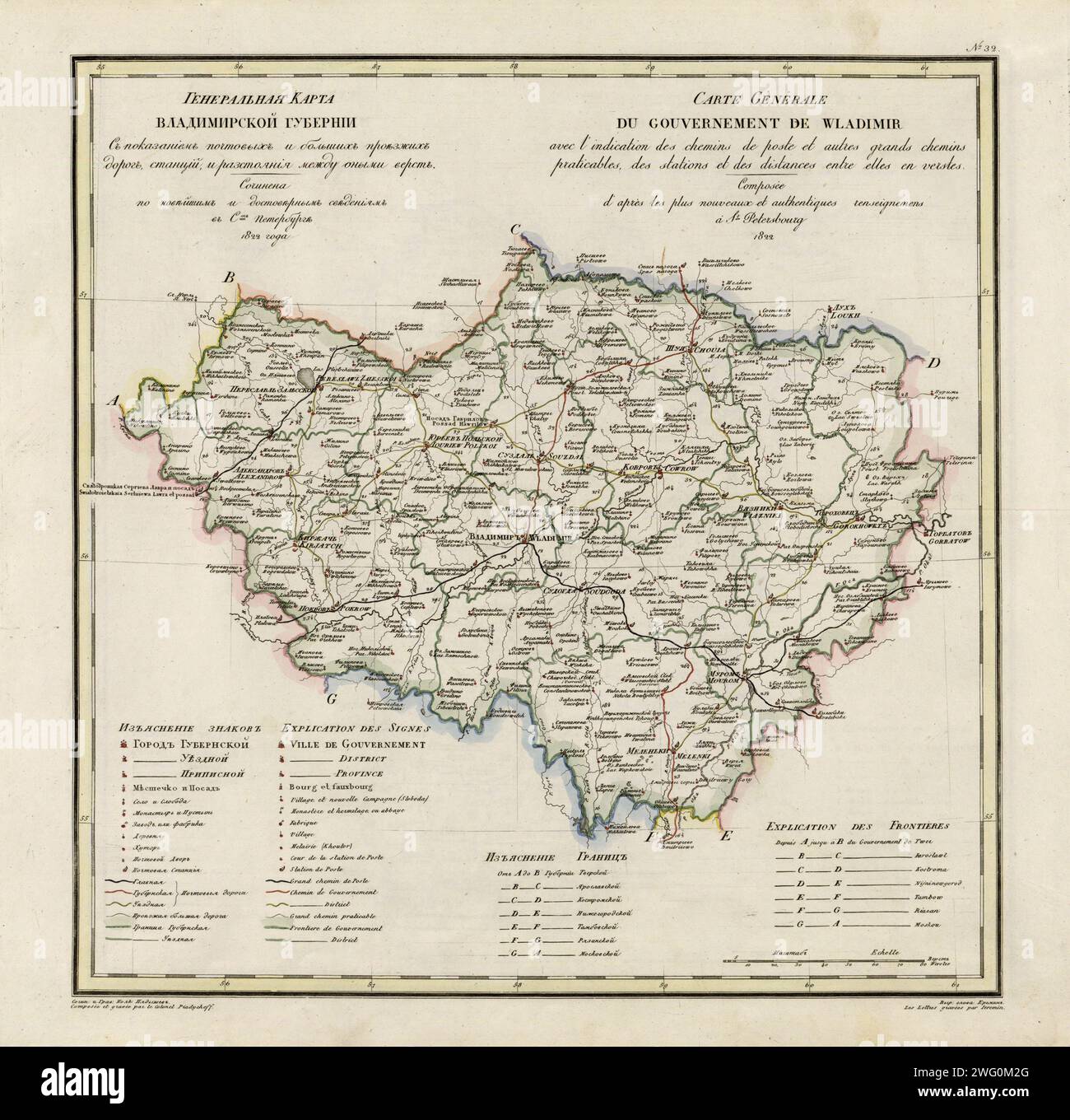 General Map of Vladimir Province: Showing Postal and Major Roads, Stations and the Distance in Versts between Them, 1822. This 1822 map of Vladimir Provinceis from a larger work,Geograficheskii atlas Rossiiskoi imperii, tsarstva Pol'skogo i velikogo kniazhestva Finliandskogo(Geographical atlas of the Russian Empire, the Kingdom of Poland, and the Grand Duchy of Finland), containing 60 maps of the Russian Empire. Compiled and engraved by Colonel V.P. Piadyshev, it reflects the detailed mapping carried out by Russian military cartographers in the first quarter of the 19th century. The map shows Stock Photohttps://www.alamy.com/image-license-details/?v=1https://www.alamy.com/general-map-of-vladimir-province-showing-postal-and-major-roads-stations-and-the-distance-in-versts-between-them-1822-this-1822-map-of-vladimir-provinceis-from-a-larger-workgeograficheskii-atlas-rossiiskoi-imperii-tsarstva-polskogo-i-velikogo-kniazhestva-finliandskogogeographical-atlas-of-the-russian-empire-the-kingdom-of-poland-and-the-grand-duchy-of-finland-containing-60-maps-of-the-russian-empire-compiled-and-engraved-by-colonel-vp-piadyshev-it-reflects-the-detailed-mapping-carried-out-by-russian-military-cartographers-in-the-first-quarter-of-the-19th-century-the-map-shows-image595002760.html
RM2WG0M2G–General Map of Vladimir Province: Showing Postal and Major Roads, Stations and the Distance in Versts between Them, 1822. This 1822 map of Vladimir Provinceis from a larger work,Geograficheskii atlas Rossiiskoi imperii, tsarstva Pol'skogo i velikogo kniazhestva Finliandskogo(Geographical atlas of the Russian Empire, the Kingdom of Poland, and the Grand Duchy of Finland), containing 60 maps of the Russian Empire. Compiled and engraved by Colonel V.P. Piadyshev, it reflects the detailed mapping carried out by Russian military cartographers in the first quarter of the 19th century. The map shows
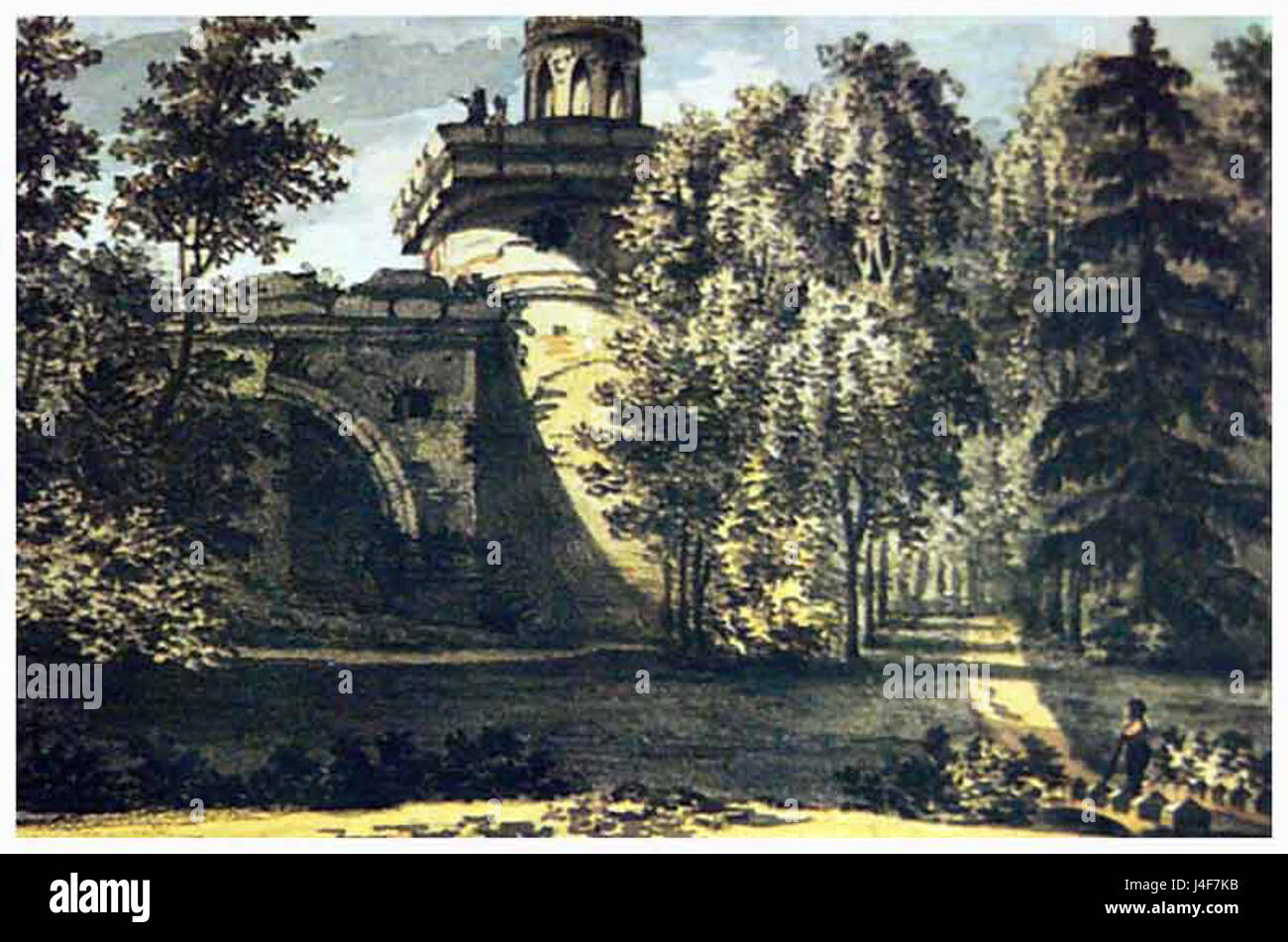 Ruin tower in 1820s Stock Photohttps://www.alamy.com/image-license-details/?v=1https://www.alamy.com/stock-photo-ruin-tower-in-1820s-140476879.html
RMJ4F7KB–Ruin tower in 1820s
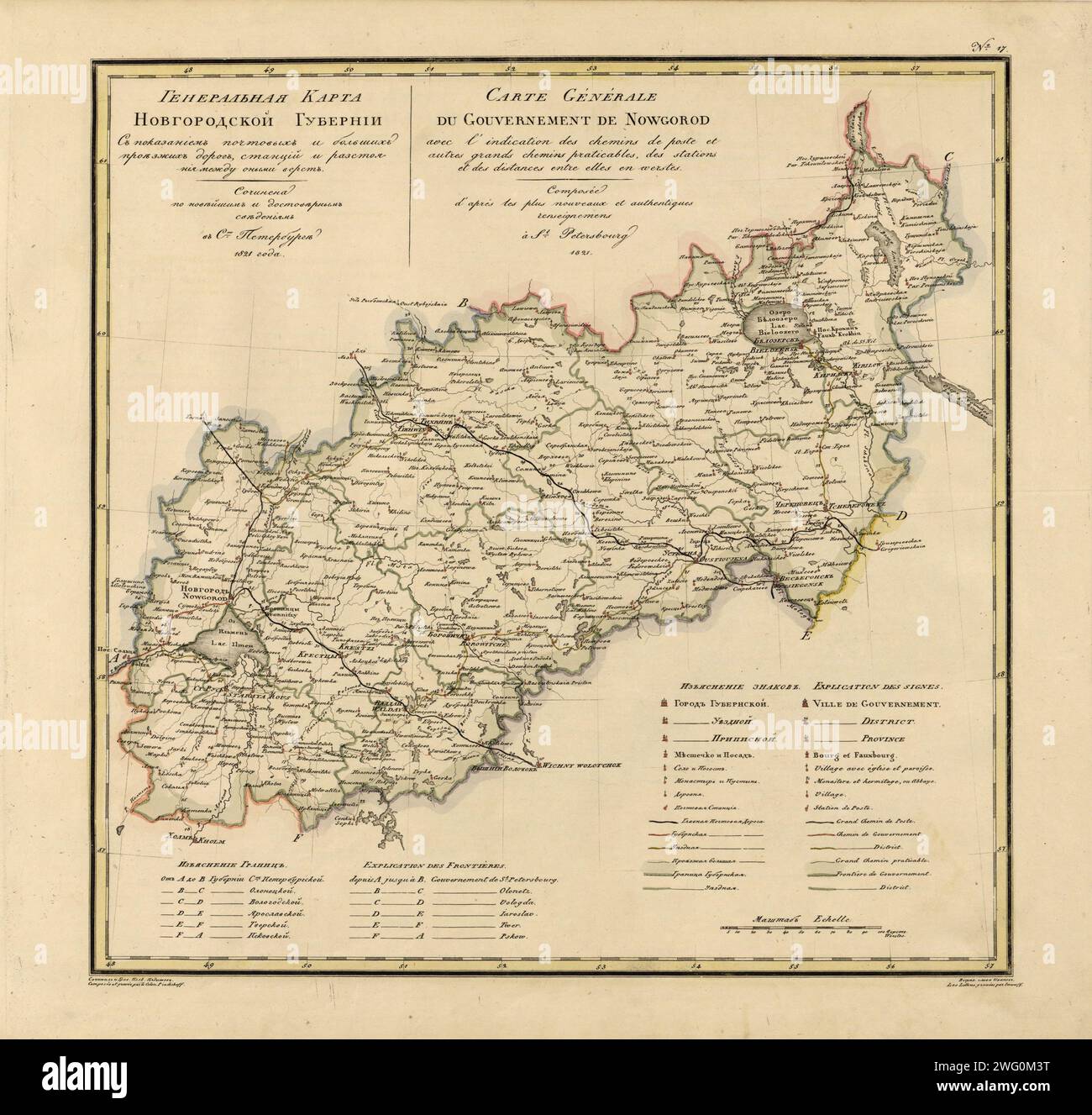 General Map of Novgorod Province: Showing Postal and Major Roads, Stations and the Distance in Versts between Them, 1821. This 1821 map of Novgorod Provinceis from a larger work,Geograficheskii atlas Rossiiskoi imperii, tsarstva Pol'skogo i velikogo kniazhestva Finliandskogo(Geographical atlas of the Russian Empire, the Kingdom of Poland, and the Grand Duchy of Finland), containing 60 maps of the Russian Empire. Compiled and engraved by Colonel V.P. Piadyshev, it reflects the detailed mapping carried out by Russian military cartographers in the first quarter of the 19th century. The map shows Stock Photohttps://www.alamy.com/image-license-details/?v=1https://www.alamy.com/general-map-of-novgorod-province-showing-postal-and-major-roads-stations-and-the-distance-in-versts-between-them-1821-this-1821-map-of-novgorod-provinceis-from-a-larger-workgeograficheskii-atlas-rossiiskoi-imperii-tsarstva-polskogo-i-velikogo-kniazhestva-finliandskogogeographical-atlas-of-the-russian-empire-the-kingdom-of-poland-and-the-grand-duchy-of-finland-containing-60-maps-of-the-russian-empire-compiled-and-engraved-by-colonel-vp-piadyshev-it-reflects-the-detailed-mapping-carried-out-by-russian-military-cartographers-in-the-first-quarter-of-the-19th-century-the-map-shows-image595002796.html
RM2WG0M3T–General Map of Novgorod Province: Showing Postal and Major Roads, Stations and the Distance in Versts between Them, 1821. This 1821 map of Novgorod Provinceis from a larger work,Geograficheskii atlas Rossiiskoi imperii, tsarstva Pol'skogo i velikogo kniazhestva Finliandskogo(Geographical atlas of the Russian Empire, the Kingdom of Poland, and the Grand Duchy of Finland), containing 60 maps of the Russian Empire. Compiled and engraved by Colonel V.P. Piadyshev, it reflects the detailed mapping carried out by Russian military cartographers in the first quarter of the 19th century. The map shows
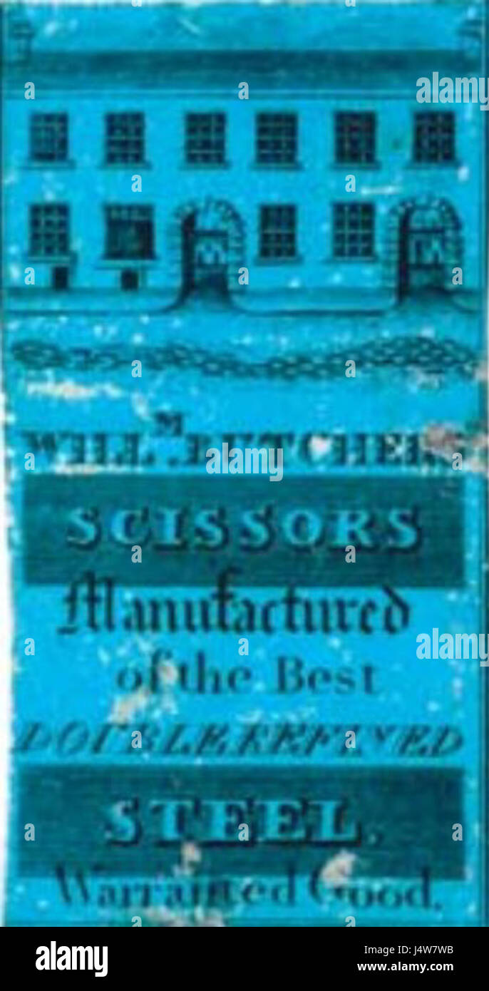 William Butchers advertisement 1820s Stock Photohttps://www.alamy.com/image-license-details/?v=1https://www.alamy.com/stock-photo-william-butchers-advertisement-1820s-140696567.html
RMJ4W7WB–William Butchers advertisement 1820s
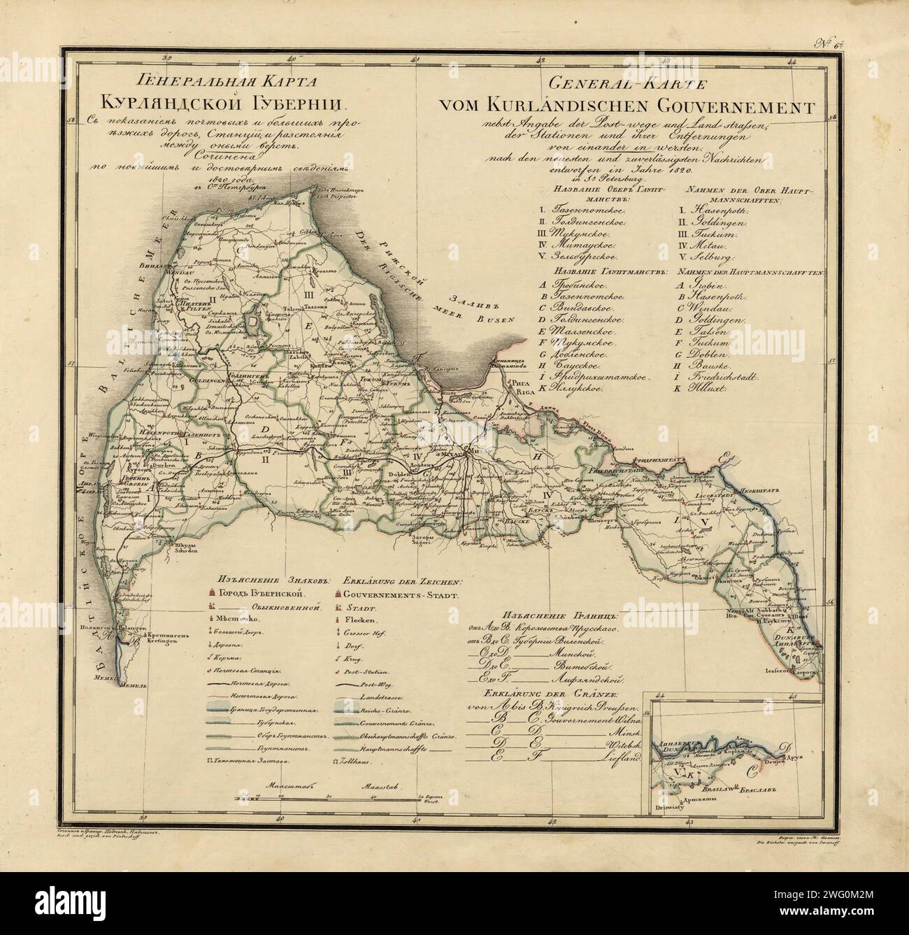 General Map of Courland Province: Showing Postal and Major Roads, Stations and the Distance in Versts between Them, 1820. This 1820 map of Courland Province is from a larger work, Geograficheskii atlas Rossiiskoi imperii, tsarstva Pol'skogo i velikogo kniazhestva Finliandskogo (Geographical atlas of the Russian Empire, the Kingdom of Poland, and the Grand Duchy of Finland), containing 60 maps of the Russian Empire. Compiled and engraved by Colonel V.P. Piadyshev, it reflects the detailed mapping carried out by Russian military cartographers in the first quarter of the 19th century. The map sho Stock Photohttps://www.alamy.com/image-license-details/?v=1https://www.alamy.com/general-map-of-courland-province-showing-postal-and-major-roads-stations-and-the-distance-in-versts-between-them-1820-this-1820-map-of-courland-province-is-from-a-larger-work-geograficheskii-atlas-rossiiskoi-imperii-tsarstva-polskogo-i-velikogo-kniazhestva-finliandskogo-geographical-atlas-of-the-russian-empire-the-kingdom-of-poland-and-the-grand-duchy-of-finland-containing-60-maps-of-the-russian-empire-compiled-and-engraved-by-colonel-vp-piadyshev-it-reflects-the-detailed-mapping-carried-out-by-russian-military-cartographers-in-the-first-quarter-of-the-19th-century-the-map-sho-image595002764.html
RM2WG0M2M–General Map of Courland Province: Showing Postal and Major Roads, Stations and the Distance in Versts between Them, 1820. This 1820 map of Courland Province is from a larger work, Geograficheskii atlas Rossiiskoi imperii, tsarstva Pol'skogo i velikogo kniazhestva Finliandskogo (Geographical atlas of the Russian Empire, the Kingdom of Poland, and the Grand Duchy of Finland), containing 60 maps of the Russian Empire. Compiled and engraved by Colonel V.P. Piadyshev, it reflects the detailed mapping carried out by Russian military cartographers in the first quarter of the 19th century. The map sho
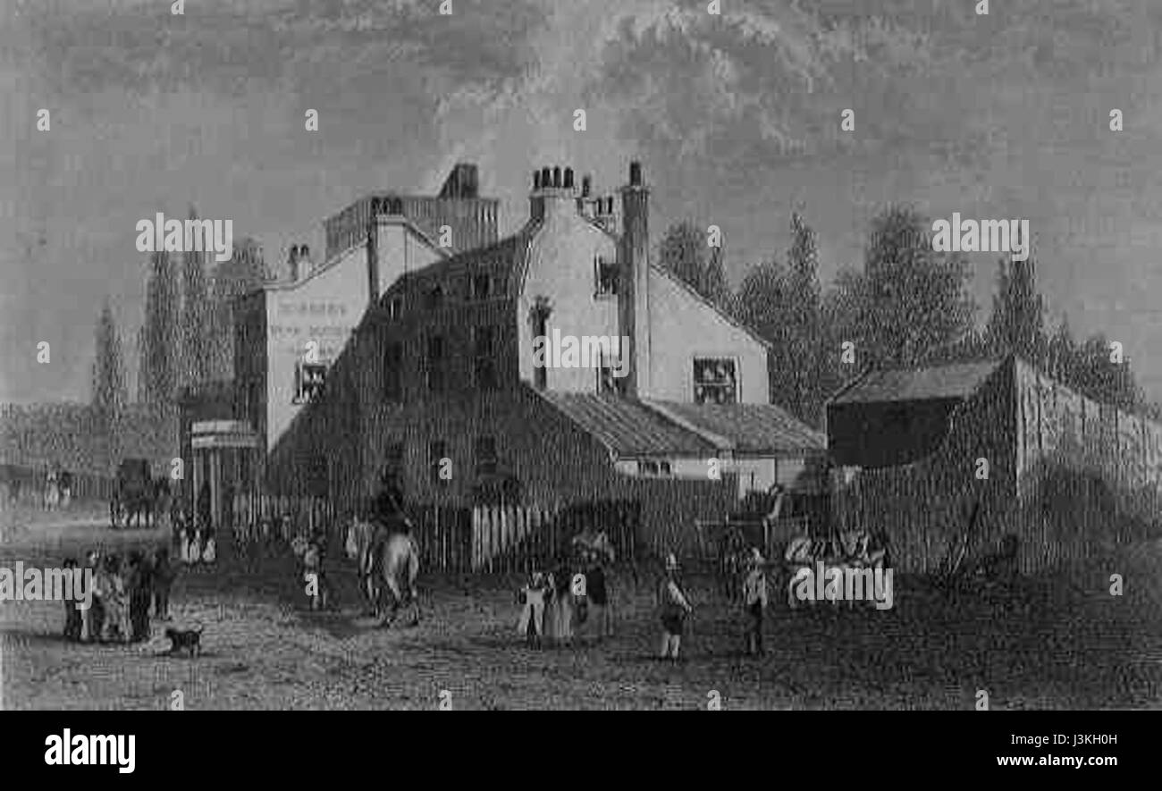 H Wood Tavern 1820s Stock Photohttps://www.alamy.com/image-license-details/?v=1https://www.alamy.com/stock-photo-h-wood-tavern-1820s-139957345.html
RMJ3KH0H–H Wood Tavern 1820s
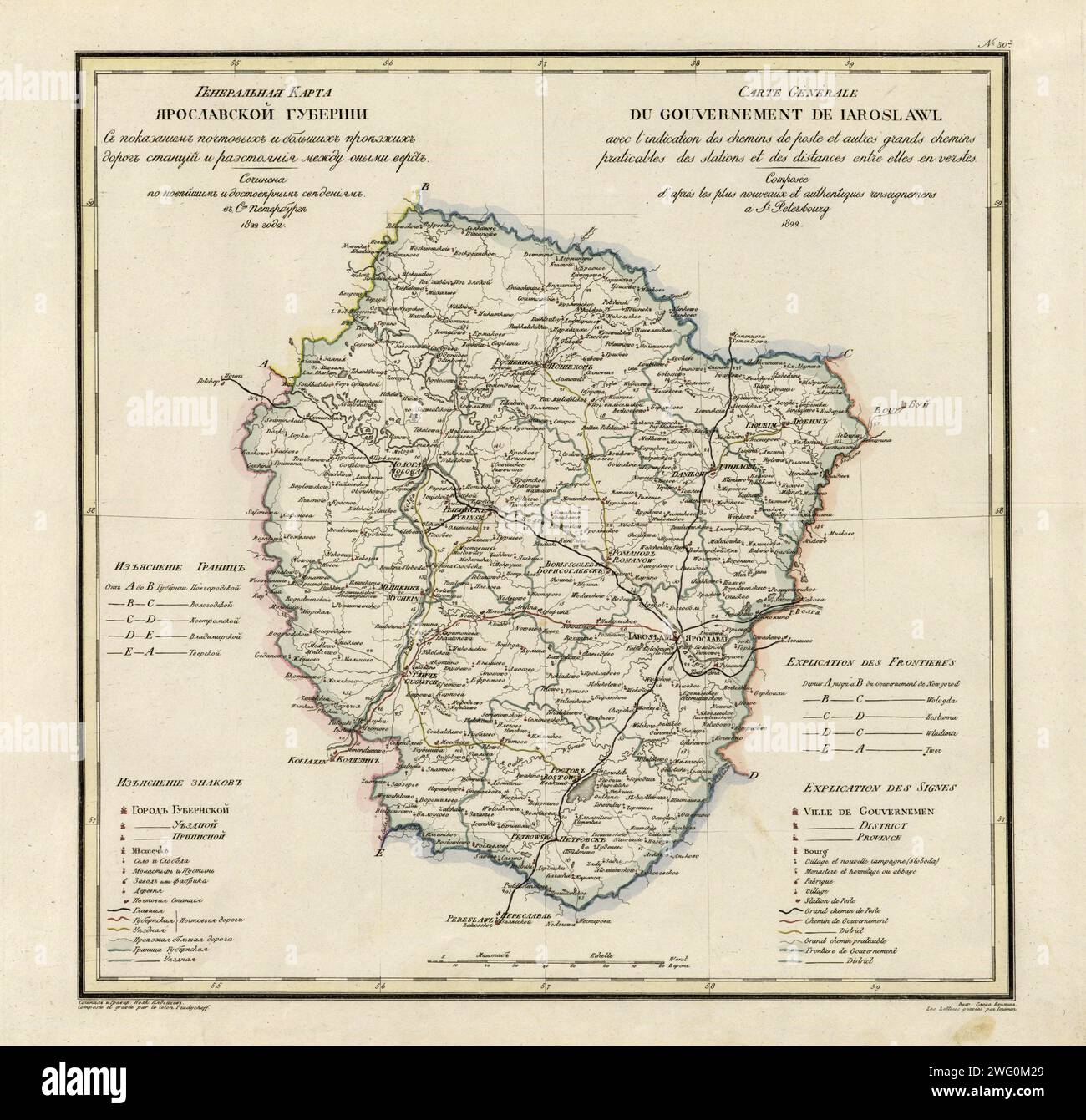 General Map of Yaroslavl Province: Showing Postal and Major Roads, Stations and the Distance in Versts between Them, 1822. This 1822 map of Yaroslavl Provinceis from a larger work,Geograficheskii atlas Rossiiskoi imperii, tsarstva Pol'skogo i velikogo kniazhestva Finliandskogo(Geographical atlas of the Russian Empire, the Kingdom of Poland, and the Grand Duchy of Finland), containing 60 maps of the Russian Empire. Compiled and engraved by Colonel V.P. Piadyshev, it reflects the detailed mapping carried out by Russian military cartographers in the first quarter of the 19th century. The map show Stock Photohttps://www.alamy.com/image-license-details/?v=1https://www.alamy.com/general-map-of-yaroslavl-province-showing-postal-and-major-roads-stations-and-the-distance-in-versts-between-them-1822-this-1822-map-of-yaroslavl-provinceis-from-a-larger-workgeograficheskii-atlas-rossiiskoi-imperii-tsarstva-polskogo-i-velikogo-kniazhestva-finliandskogogeographical-atlas-of-the-russian-empire-the-kingdom-of-poland-and-the-grand-duchy-of-finland-containing-60-maps-of-the-russian-empire-compiled-and-engraved-by-colonel-vp-piadyshev-it-reflects-the-detailed-mapping-carried-out-by-russian-military-cartographers-in-the-first-quarter-of-the-19th-century-the-map-show-image595002753.html
RM2WG0M29–General Map of Yaroslavl Province: Showing Postal and Major Roads, Stations and the Distance in Versts between Them, 1822. This 1822 map of Yaroslavl Provinceis from a larger work,Geograficheskii atlas Rossiiskoi imperii, tsarstva Pol'skogo i velikogo kniazhestva Finliandskogo(Geographical atlas of the Russian Empire, the Kingdom of Poland, and the Grand Duchy of Finland), containing 60 maps of the Russian Empire. Compiled and engraved by Colonel V.P. Piadyshev, it reflects the detailed mapping carried out by Russian military cartographers in the first quarter of the 19th century. The map show
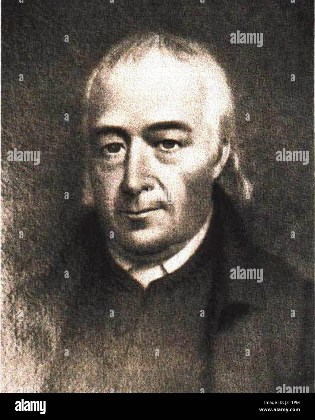 John McMillan portrait 1820s Stock Photohttps://www.alamy.com/image-license-details/?v=1https://www.alamy.com/stock-photo-john-mcmillan-portrait-1820s-140055180.html
RMJ3T1PM–John McMillan portrait 1820s
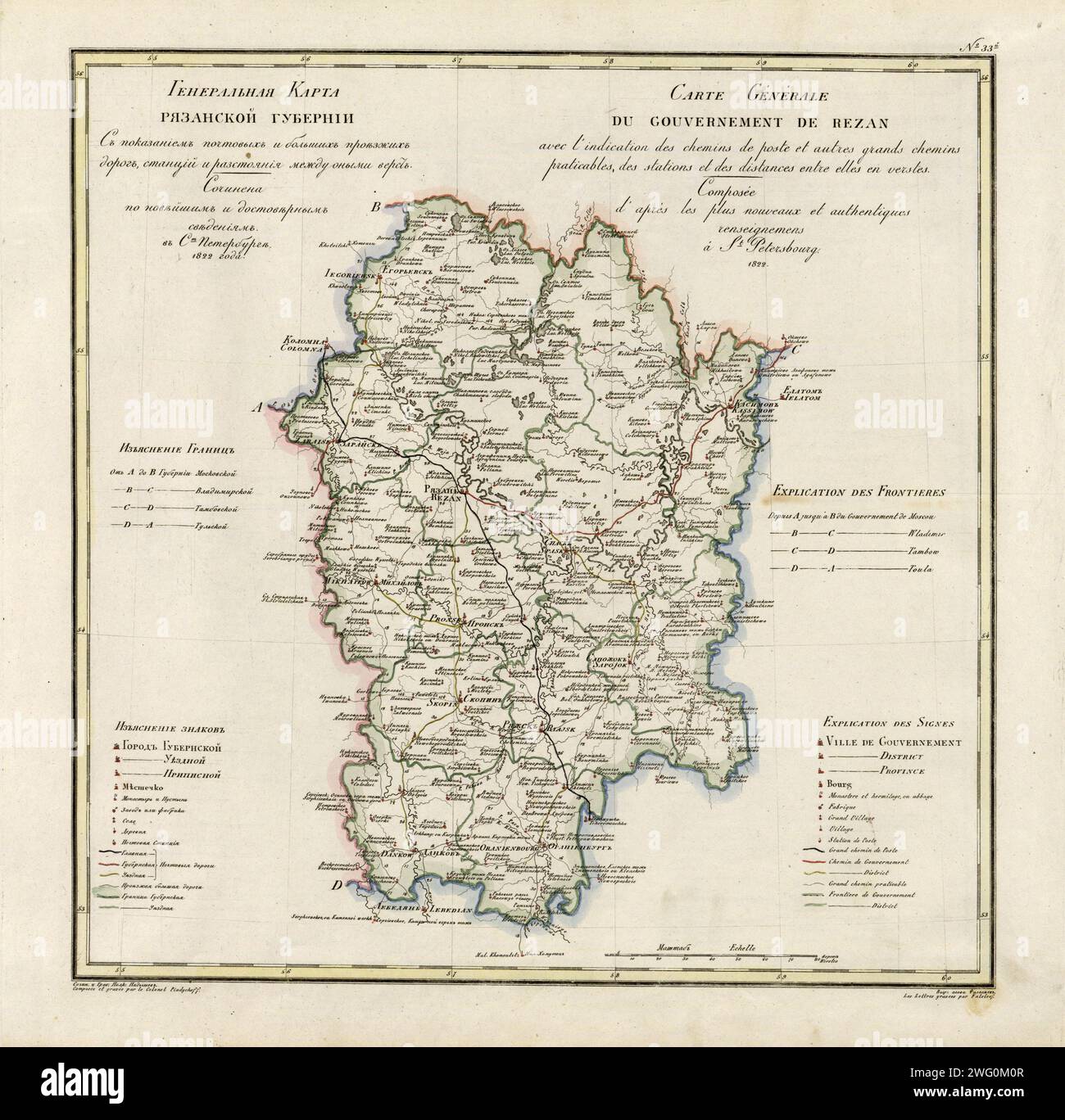 General Map of Ryazan Province: Showing Postal and Major Roads, Stations and the Distance in Versts between Them, 1822. This 1822 map of Ryazan Provinceis from a larger work,Geograficheskii atlas Rossiiskoi imperii, tsarstva Pol'skogo i velikogo kniazhestva Finliandskogo(Geographical atlas of the Russian Empire, the Kingdom of Poland, and the Grand Duchy of Finland), containing 60 maps of the Russian Empire. Compiled and engraved by Colonel V.P. Piadyshev, it reflects the detailed mapping carried out by Russian military cartographers in the first quarter of the 19th century. The map shows popu Stock Photohttps://www.alamy.com/image-license-details/?v=1https://www.alamy.com/general-map-of-ryazan-province-showing-postal-and-major-roads-stations-and-the-distance-in-versts-between-them-1822-this-1822-map-of-ryazan-provinceis-from-a-larger-workgeograficheskii-atlas-rossiiskoi-imperii-tsarstva-polskogo-i-velikogo-kniazhestva-finliandskogogeographical-atlas-of-the-russian-empire-the-kingdom-of-poland-and-the-grand-duchy-of-finland-containing-60-maps-of-the-russian-empire-compiled-and-engraved-by-colonel-vp-piadyshev-it-reflects-the-detailed-mapping-carried-out-by-russian-military-cartographers-in-the-first-quarter-of-the-19th-century-the-map-shows-popu-image595002711.html
RM2WG0M0R–General Map of Ryazan Province: Showing Postal and Major Roads, Stations and the Distance in Versts between Them, 1822. This 1822 map of Ryazan Provinceis from a larger work,Geograficheskii atlas Rossiiskoi imperii, tsarstva Pol'skogo i velikogo kniazhestva Finliandskogo(Geographical atlas of the Russian Empire, the Kingdom of Poland, and the Grand Duchy of Finland), containing 60 maps of the Russian Empire. Compiled and engraved by Colonel V.P. Piadyshev, it reflects the detailed mapping carried out by Russian military cartographers in the first quarter of the 19th century. The map shows popu
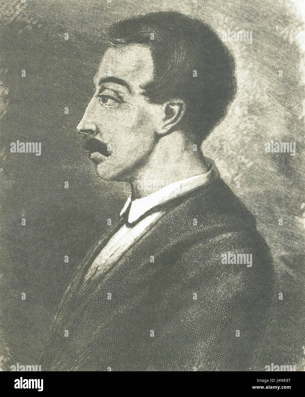 V. K. Kyukhelbeker, 1820s Stock Photohttps://www.alamy.com/image-license-details/?v=1https://www.alamy.com/stock-photo-v-k-kyukhelbeker-1820s-140701592.html
RMJ4WE8T–V. K. Kyukhelbeker, 1820s
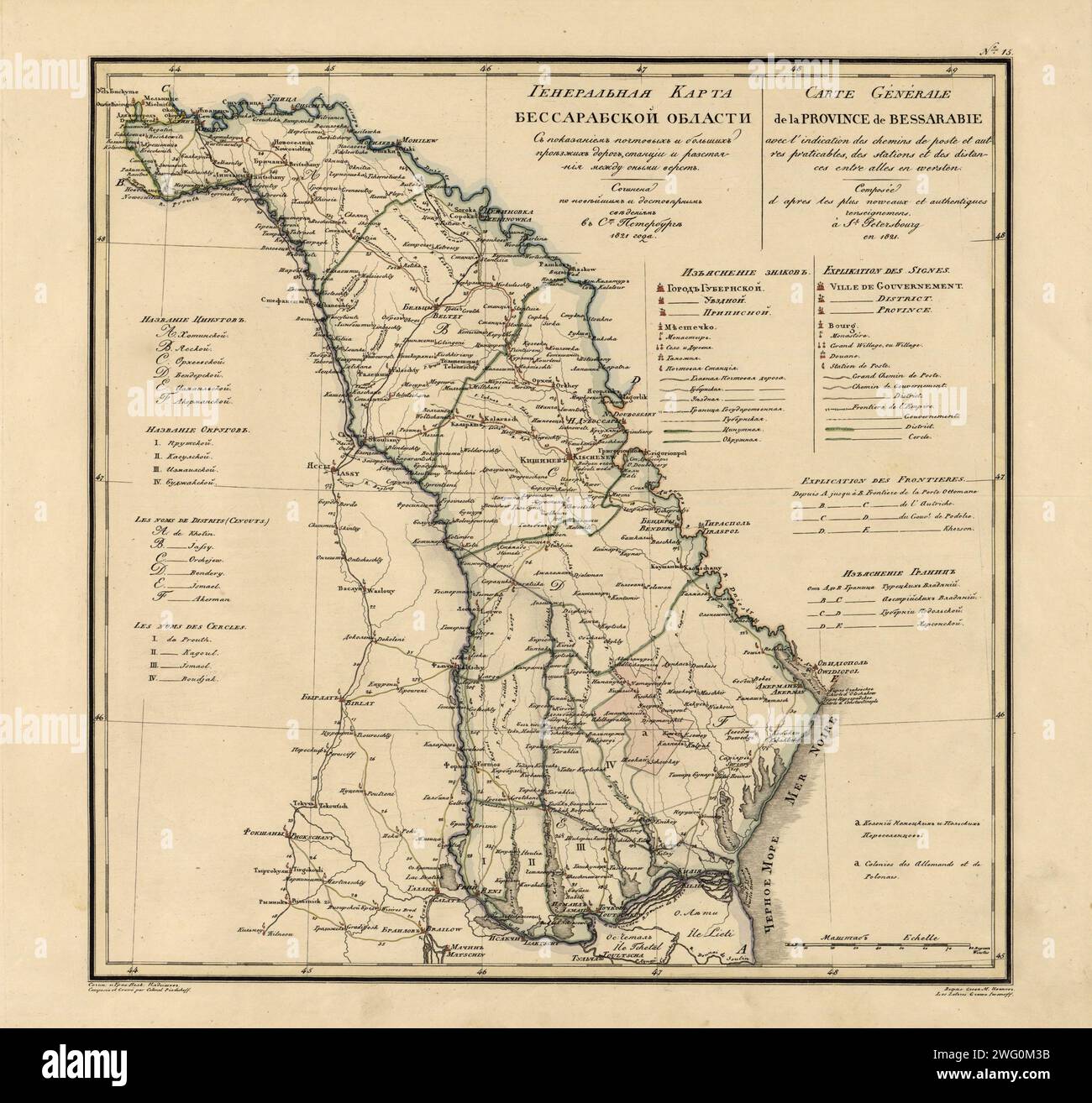 General Map of Bessarabia: Showing Postal and Major Roads, Stations and the Distance in Versts between Them, 1821. This 1821 map of Bessarabia is from a larger work, Geograficheskii atlas Rossiiskoi imperii, tsarstva Pol'skogo i velikogo kniazhestva Finliandskogo (Geographical atlas of the Russian Empire, the Kingdom of Poland, and the Grand Duchy of Finland), containing 60 maps of the Russian Empire. Compiled and engraved by Colonel V.P. Piadyshev, it reflects the detailed mapping carried out by Russian military cartographers in the first quarter of the 19th century. The map shows population Stock Photohttps://www.alamy.com/image-license-details/?v=1https://www.alamy.com/general-map-of-bessarabia-showing-postal-and-major-roads-stations-and-the-distance-in-versts-between-them-1821-this-1821-map-of-bessarabia-is-from-a-larger-work-geograficheskii-atlas-rossiiskoi-imperii-tsarstva-polskogo-i-velikogo-kniazhestva-finliandskogo-geographical-atlas-of-the-russian-empire-the-kingdom-of-poland-and-the-grand-duchy-of-finland-containing-60-maps-of-the-russian-empire-compiled-and-engraved-by-colonel-vp-piadyshev-it-reflects-the-detailed-mapping-carried-out-by-russian-military-cartographers-in-the-first-quarter-of-the-19th-century-the-map-shows-population-image595002783.html
RM2WG0M3B–General Map of Bessarabia: Showing Postal and Major Roads, Stations and the Distance in Versts between Them, 1821. This 1821 map of Bessarabia is from a larger work, Geograficheskii atlas Rossiiskoi imperii, tsarstva Pol'skogo i velikogo kniazhestva Finliandskogo (Geographical atlas of the Russian Empire, the Kingdom of Poland, and the Grand Duchy of Finland), containing 60 maps of the Russian Empire. Compiled and engraved by Colonel V.P. Piadyshev, it reflects the detailed mapping carried out by Russian military cartographers in the first quarter of the 19th century. The map shows population
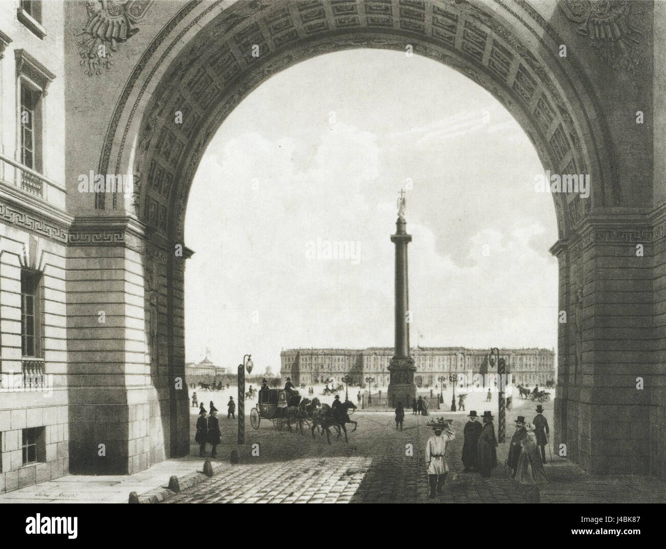 Peterburg, Palace Square, 1820s Stock Photohttps://www.alamy.com/image-license-details/?v=1https://www.alamy.com/stock-photo-peterburg-palace-square-1820s-140398167.html
RMJ4BK87–Peterburg, Palace Square, 1820s
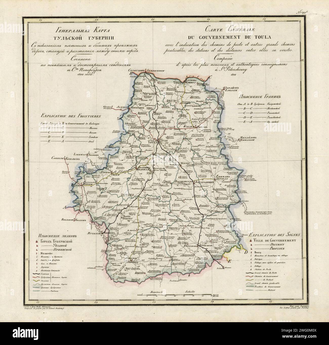 General Map of Tula Province: Showing Postal and Major Roads, Stations and the Distance in Versts between Them, 1822. This 1822 map of Tula Provinceis from a larger work,Geograficheskii atlas Rossiiskoi imperii, tsarstva Pol'skogo i velikogo kniazhestva Finliandskogo(Geographical atlas of the Russian Empire, the Kingdom of Poland, and the Grand Duchy of Finland), containing 60 maps of the Russian Empire. Compiled and engraved by Colonel V.P. Piadyshev, it reflects the detailed mapping carried out by Russian military cartographers in the first quarter of the 19th century. The map shows populati Stock Photohttps://www.alamy.com/image-license-details/?v=1https://www.alamy.com/general-map-of-tula-province-showing-postal-and-major-roads-stations-and-the-distance-in-versts-between-them-1822-this-1822-map-of-tula-provinceis-from-a-larger-workgeograficheskii-atlas-rossiiskoi-imperii-tsarstva-polskogo-i-velikogo-kniazhestva-finliandskogogeographical-atlas-of-the-russian-empire-the-kingdom-of-poland-and-the-grand-duchy-of-finland-containing-60-maps-of-the-russian-empire-compiled-and-engraved-by-colonel-vp-piadyshev-it-reflects-the-detailed-mapping-carried-out-by-russian-military-cartographers-in-the-first-quarter-of-the-19th-century-the-map-shows-populati-image595002714.html
RM2WG0M0X–General Map of Tula Province: Showing Postal and Major Roads, Stations and the Distance in Versts between Them, 1822. This 1822 map of Tula Provinceis from a larger work,Geograficheskii atlas Rossiiskoi imperii, tsarstva Pol'skogo i velikogo kniazhestva Finliandskogo(Geographical atlas of the Russian Empire, the Kingdom of Poland, and the Grand Duchy of Finland), containing 60 maps of the Russian Empire. Compiled and engraved by Colonel V.P. Piadyshev, it reflects the detailed mapping carried out by Russian military cartographers in the first quarter of the 19th century. The map shows populati
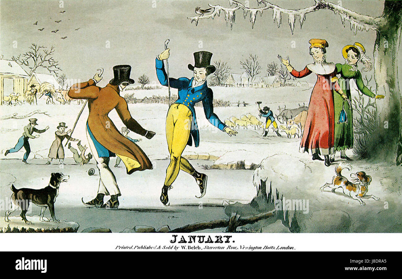 January scene skating early 1820s Stock Photohttps://www.alamy.com/image-license-details/?v=1https://www.alamy.com/stock-photo-january-scene-skating-early-1820s-142903885.html
RMJ8DRA5–January scene skating early 1820s
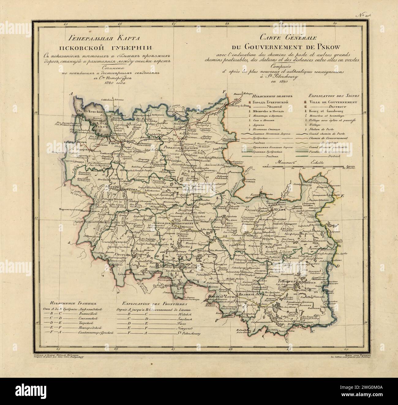 General Map of Pskov Province: Showing Postal and Major Roads, Stations and the Distance in Versts between Them, 1820. This 1820 map of Pskov Provinceis from a larger work,Geograficheskii atlas Rossiiskoi imperii, tsarstva Pol'skogo i velikogo kniazhestva Finliandskogo(Geographical atlas of the Russian Empire, the Kingdom of Poland, and the Grand Duchy of Finland), containing 60 maps of the Russian Empire. Compiled and engraved by Colonel V.P. Piadyshev, it reflects the detailed mapping carried out by Russian military cartographers in the first quarter of the 19th century. The map shows popula Stock Photohttps://www.alamy.com/image-license-details/?v=1https://www.alamy.com/general-map-of-pskov-province-showing-postal-and-major-roads-stations-and-the-distance-in-versts-between-them-1820-this-1820-map-of-pskov-provinceis-from-a-larger-workgeograficheskii-atlas-rossiiskoi-imperii-tsarstva-polskogo-i-velikogo-kniazhestva-finliandskogogeographical-atlas-of-the-russian-empire-the-kingdom-of-poland-and-the-grand-duchy-of-finland-containing-60-maps-of-the-russian-empire-compiled-and-engraved-by-colonel-vp-piadyshev-it-reflects-the-detailed-mapping-carried-out-by-russian-military-cartographers-in-the-first-quarter-of-the-19th-century-the-map-shows-popula-image595002698.html
RM2WG0M0A–General Map of Pskov Province: Showing Postal and Major Roads, Stations and the Distance in Versts between Them, 1820. This 1820 map of Pskov Provinceis from a larger work,Geograficheskii atlas Rossiiskoi imperii, tsarstva Pol'skogo i velikogo kniazhestva Finliandskogo(Geographical atlas of the Russian Empire, the Kingdom of Poland, and the Grand Duchy of Finland), containing 60 maps of the Russian Empire. Compiled and engraved by Colonel V.P. Piadyshev, it reflects the detailed mapping carried out by Russian military cartographers in the first quarter of the 19th century. The map shows popula
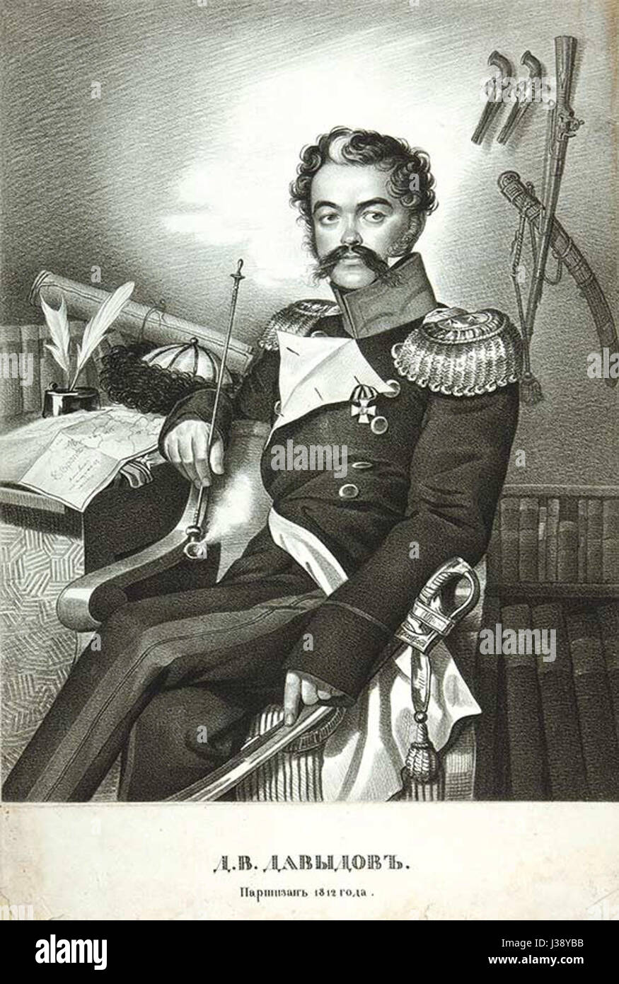 Denis Davydov by K.Gampeln (1820s) Stock Photohttps://www.alamy.com/image-license-details/?v=1https://www.alamy.com/stock-photo-denis-davydov-by-kgampeln-1820s-139724015.html
RMJ38YBB–Denis Davydov by K.Gampeln (1820s)
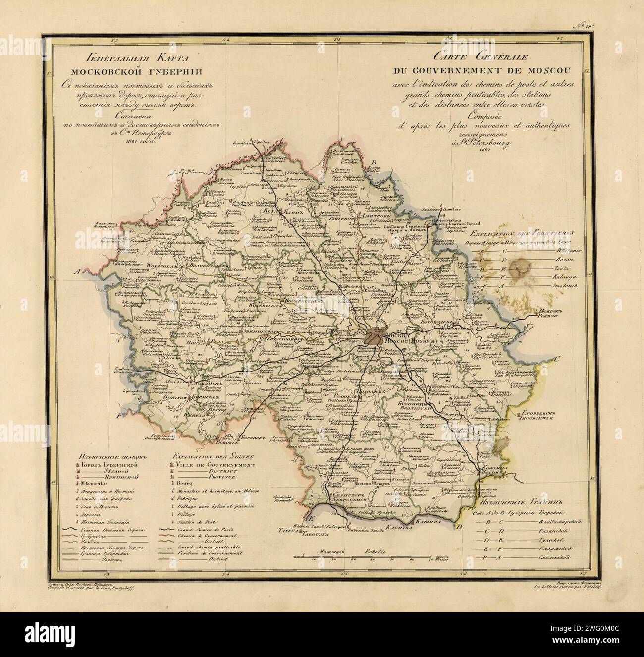 General Map of Moscow Province: Showing Postal and Major Roads, Stations and the Distance in Versts between Them, 1821. This 1821 map of Moscow Province is from a larger work,Geograficheskii atlas Rossiiskoi imperii, tsarstva Pol'skogo i velikogo kniazhestva Finliandskogo(Geographical atlas of the Russian Empire, the Kingdom of Poland, and the Grand Duchy of Finland), containing 60 maps of the Russian Empire. Compiled and engraved by Colonel V.P. Piadyshev, it reflects the detailed mapping carried out by Russian military cartographers in the first quarter of the 19th century. The map shows pop Stock Photohttps://www.alamy.com/image-license-details/?v=1https://www.alamy.com/general-map-of-moscow-province-showing-postal-and-major-roads-stations-and-the-distance-in-versts-between-them-1821-this-1821-map-of-moscow-province-is-from-a-larger-workgeograficheskii-atlas-rossiiskoi-imperii-tsarstva-polskogo-i-velikogo-kniazhestva-finliandskogogeographical-atlas-of-the-russian-empire-the-kingdom-of-poland-and-the-grand-duchy-of-finland-containing-60-maps-of-the-russian-empire-compiled-and-engraved-by-colonel-vp-piadyshev-it-reflects-the-detailed-mapping-carried-out-by-russian-military-cartographers-in-the-first-quarter-of-the-19th-century-the-map-shows-pop-image595002700.html
RM2WG0M0C–General Map of Moscow Province: Showing Postal and Major Roads, Stations and the Distance in Versts between Them, 1821. This 1821 map of Moscow Province is from a larger work,Geograficheskii atlas Rossiiskoi imperii, tsarstva Pol'skogo i velikogo kniazhestva Finliandskogo(Geographical atlas of the Russian Empire, the Kingdom of Poland, and the Grand Duchy of Finland), containing 60 maps of the Russian Empire. Compiled and engraved by Colonel V.P. Piadyshev, it reflects the detailed mapping carried out by Russian military cartographers in the first quarter of the 19th century. The map shows pop
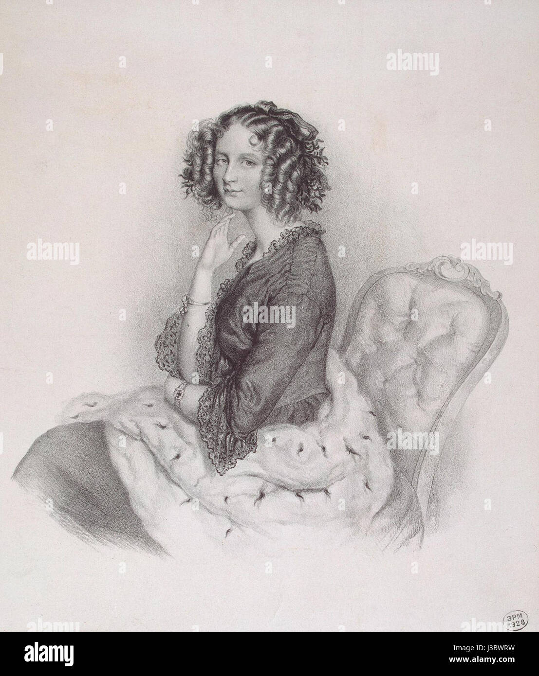 Engraving of Elena Pavlovna (1820s) 01 Stock Photohttps://www.alamy.com/image-license-details/?v=1https://www.alamy.com/stock-photo-engraving-of-elena-pavlovna-1820s-01-139788653.html
RMJ3BWRW–Engraving of Elena Pavlovna (1820s) 01
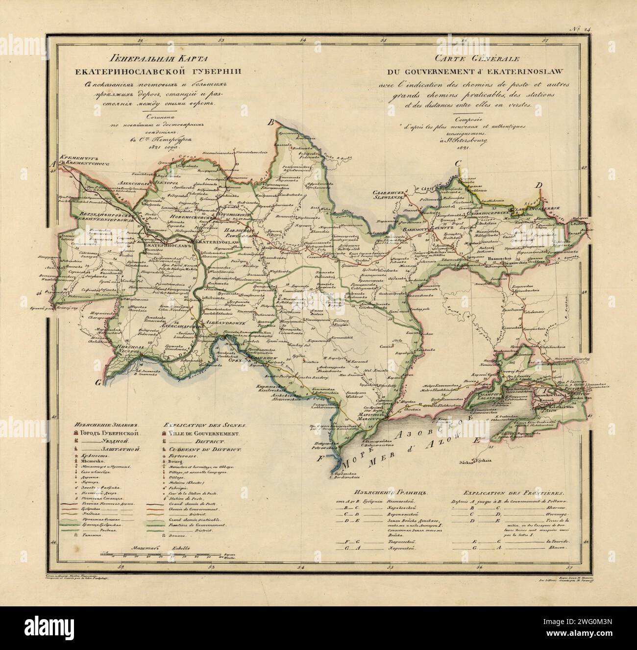 General Map of Ekaterinoslav Province: Showing Postal and Major Roads, Stations and the Distance in Versts between Them, 1821. This 1821 map of Ekaterinoslav Provinceis from a larger work,Geograficheskii atlas Rossiiskoi imperii, tsarstva Pol'skogo i velikogo kniazhestva Finliandskogo(Geographical atlas of the Russian Empire, the Kingdom of Poland, and the Grand Duchy of Finland), containing 60 maps of the Russian Empire. Compiled and engraved by Colonel V.P. Piadyshev, it reflects the detailed mapping carried out by Russian military cartographers in the first quarter of the 19th century. The Stock Photohttps://www.alamy.com/image-license-details/?v=1https://www.alamy.com/general-map-of-ekaterinoslav-province-showing-postal-and-major-roads-stations-and-the-distance-in-versts-between-them-1821-this-1821-map-of-ekaterinoslav-provinceis-from-a-larger-workgeograficheskii-atlas-rossiiskoi-imperii-tsarstva-polskogo-i-velikogo-kniazhestva-finliandskogogeographical-atlas-of-the-russian-empire-the-kingdom-of-poland-and-the-grand-duchy-of-finland-containing-60-maps-of-the-russian-empire-compiled-and-engraved-by-colonel-vp-piadyshev-it-reflects-the-detailed-mapping-carried-out-by-russian-military-cartographers-in-the-first-quarter-of-the-19th-century-the-image595002793.html
RM2WG0M3N–General Map of Ekaterinoslav Province: Showing Postal and Major Roads, Stations and the Distance in Versts between Them, 1821. This 1821 map of Ekaterinoslav Provinceis from a larger work,Geograficheskii atlas Rossiiskoi imperii, tsarstva Pol'skogo i velikogo kniazhestva Finliandskogo(Geographical atlas of the Russian Empire, the Kingdom of Poland, and the Grand Duchy of Finland), containing 60 maps of the Russian Empire. Compiled and engraved by Colonel V.P. Piadyshev, it reflects the detailed mapping carried out by Russian military cartographers in the first quarter of the 19th century. The
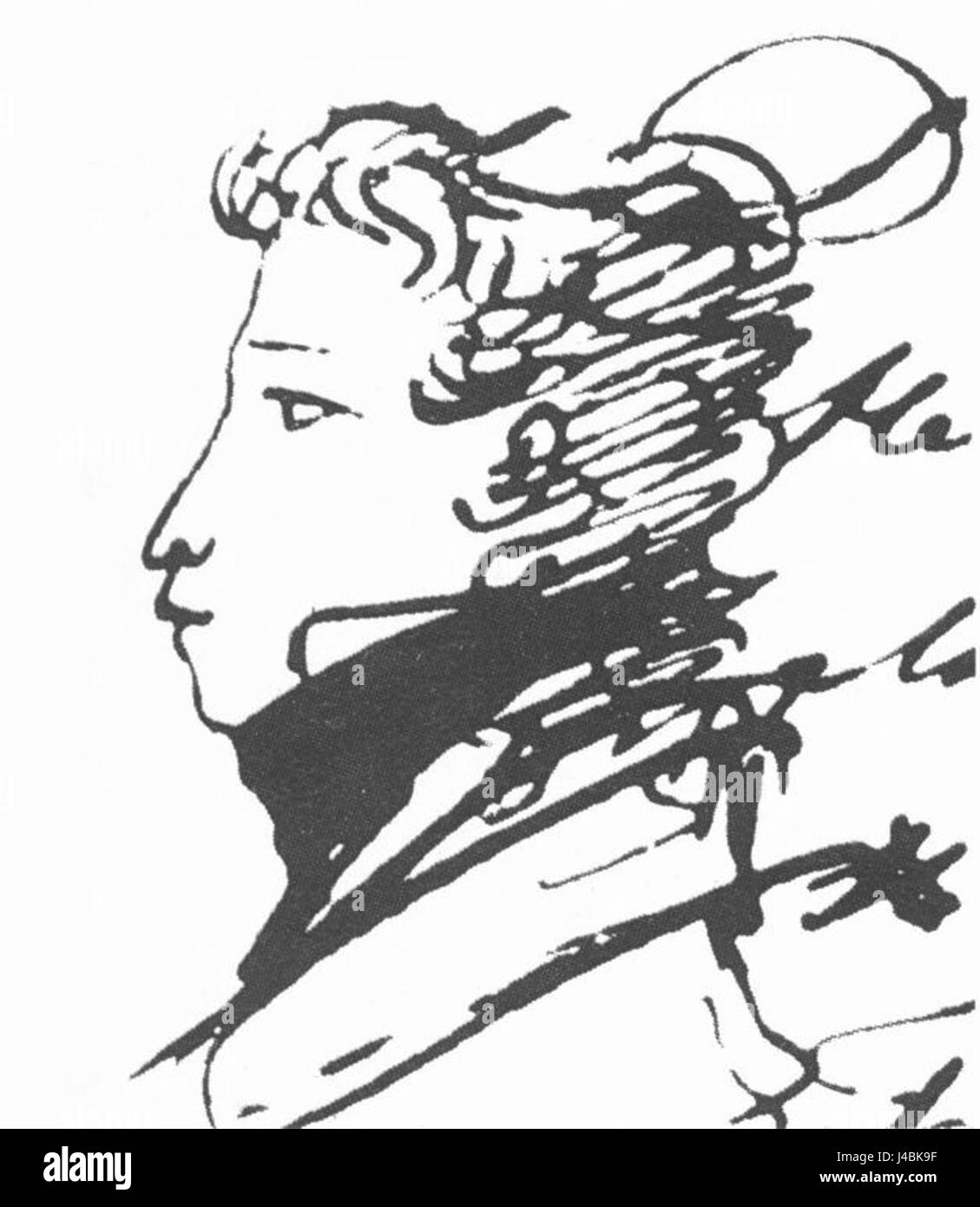 Pushkin Alexander, self portret, 1820s Stock Photohttps://www.alamy.com/image-license-details/?v=1https://www.alamy.com/stock-photo-pushkin-alexander-self-portret-1820s-140398203.html
RMJ4BK9F–Pushkin Alexander, self portret, 1820s
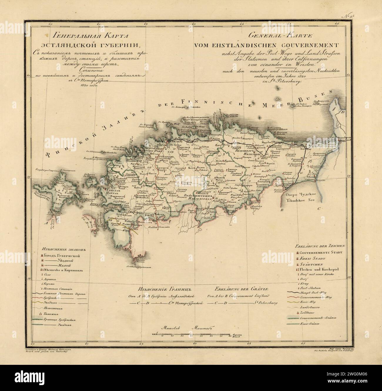 General Map of Estland Province: Showing Postal and Major Roads, Stations and the Distance in Versts between Them, 1820. This 1820 map of Estland Province is from a larger work,Geograficheskii atlas Rossiiskoi imperii, tsarstva Pol'skogo i velikogo kniazhestva Finliandskogo(Geographical atlas of the Russian Empire, the Kingdom of Poland, and the Grand Duchy of Finland), containing 60 maps of the Russian Empire. Compiled and engraved by Colonel V.P. Piadyshev, it reflects the detailed mapping carried out by Russian military cartographers in the first quarter of the 19th century. The map shows p Stock Photohttps://www.alamy.com/image-license-details/?v=1https://www.alamy.com/general-map-of-estland-province-showing-postal-and-major-roads-stations-and-the-distance-in-versts-between-them-1820-this-1820-map-of-estland-province-is-from-a-larger-workgeograficheskii-atlas-rossiiskoi-imperii-tsarstva-polskogo-i-velikogo-kniazhestva-finliandskogogeographical-atlas-of-the-russian-empire-the-kingdom-of-poland-and-the-grand-duchy-of-finland-containing-60-maps-of-the-russian-empire-compiled-and-engraved-by-colonel-vp-piadyshev-it-reflects-the-detailed-mapping-carried-out-by-russian-military-cartographers-in-the-first-quarter-of-the-19th-century-the-map-shows-p-image595002694.html
RM2WG0M06–General Map of Estland Province: Showing Postal and Major Roads, Stations and the Distance in Versts between Them, 1820. This 1820 map of Estland Province is from a larger work,Geograficheskii atlas Rossiiskoi imperii, tsarstva Pol'skogo i velikogo kniazhestva Finliandskogo(Geographical atlas of the Russian Empire, the Kingdom of Poland, and the Grand Duchy of Finland), containing 60 maps of the Russian Empire. Compiled and engraved by Colonel V.P. Piadyshev, it reflects the detailed mapping carried out by Russian military cartographers in the first quarter of the 19th century. The map shows p
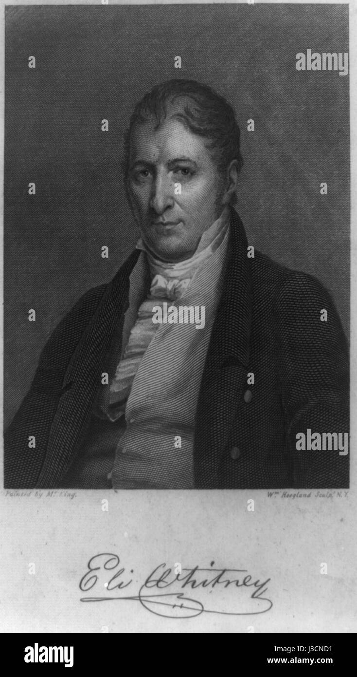 EliWhitney 1820s engr byWHoogland LC Stock Photohttps://www.alamy.com/image-license-details/?v=1https://www.alamy.com/stock-photo-eliwhitney-1820s-engr-bywhoogland-lc-139807165.html
RMJ3CND1–EliWhitney 1820s engr byWHoogland LC
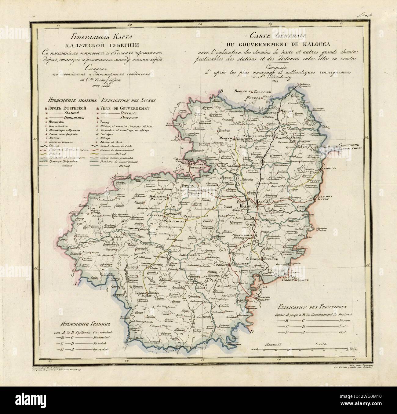 General Map of Kaluga Province: Showing Postal and Major Roads, Stations and the Distance in Versts between Them, 1822. This 1822 map of Kaluga Province is from a larger work, Geograficheskii atlas Rossiiskoi imperii, tsarstva Pol'skogo i velikogo kniazhestva Finliandskogo (Geographical atlas of the Russian Empire, the Kingdom of Poland, and the Grand Duchy of Finland), containing 60 maps of the Russian Empire. Compiled and engraved by Colonel V.P. Piadyshev, it reflects the detailed mapping carried out by Russian military cartographers in the first quarter of the 19th century. The map shows p Stock Photohttps://www.alamy.com/image-license-details/?v=1https://www.alamy.com/general-map-of-kaluga-province-showing-postal-and-major-roads-stations-and-the-distance-in-versts-between-them-1822-this-1822-map-of-kaluga-province-is-from-a-larger-work-geograficheskii-atlas-rossiiskoi-imperii-tsarstva-polskogo-i-velikogo-kniazhestva-finliandskogo-geographical-atlas-of-the-russian-empire-the-kingdom-of-poland-and-the-grand-duchy-of-finland-containing-60-maps-of-the-russian-empire-compiled-and-engraved-by-colonel-vp-piadyshev-it-reflects-the-detailed-mapping-carried-out-by-russian-military-cartographers-in-the-first-quarter-of-the-19th-century-the-map-shows-p-image595002716.html
RM2WG0M10–General Map of Kaluga Province: Showing Postal and Major Roads, Stations and the Distance in Versts between Them, 1822. This 1822 map of Kaluga Province is from a larger work, Geograficheskii atlas Rossiiskoi imperii, tsarstva Pol'skogo i velikogo kniazhestva Finliandskogo (Geographical atlas of the Russian Empire, the Kingdom of Poland, and the Grand Duchy of Finland), containing 60 maps of the Russian Empire. Compiled and engraved by Colonel V.P. Piadyshev, it reflects the detailed mapping carried out by Russian military cartographers in the first quarter of the 19th century. The map shows p
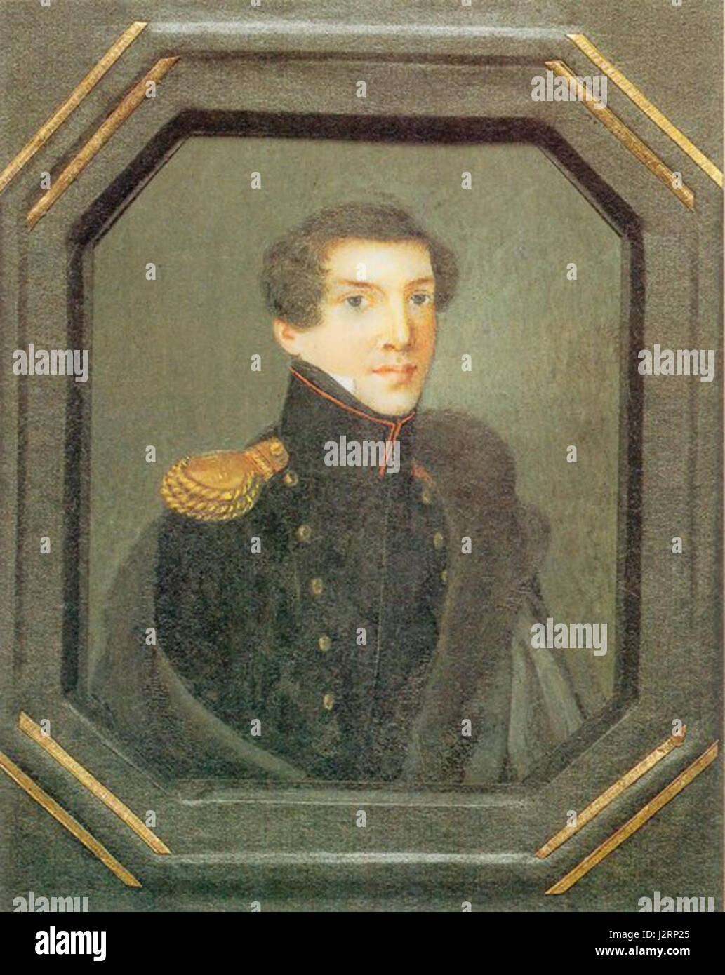 Prince Alexander Nikolaevich Vyazemsky, 1820s Stock Photohttps://www.alamy.com/image-license-details/?v=1https://www.alamy.com/stock-photo-prince-alexander-nikolaevich-vyazemsky-1820s-139434461.html
RMJ2RP25–Prince Alexander Nikolaevich Vyazemsky, 1820s
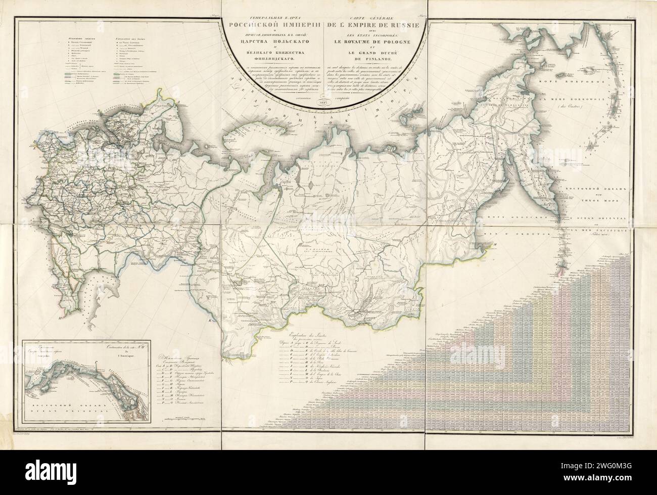 General Map of the Russian Empire and the Neighboring Polish Empire and Grand Duchy of Finland: With the Distance in Versts on Postal Roads between Provincial Cities; and in Boundary Provinces from the Provincial City to County Towns and Foreign Borders; with a Table of Distance in Versts between 73 Notable Cities, 1827. This 1827 map of the Russian Empire is from a larger work, Geograficheskii atlas Rossiiskoi imperii, tsarstva Pol'skogo i velikogo kniazhestva Finliandskogo (Geographical atlas of the Russian Empire, the Kingdom of Poland, and the Grand Duchy of Finland), containing 60 maps of Stock Photohttps://www.alamy.com/image-license-details/?v=1https://www.alamy.com/general-map-of-the-russian-empire-and-the-neighboring-polish-empire-and-grand-duchy-of-finland-with-the-distance-in-versts-on-postal-roads-between-provincial-cities-and-in-boundary-provinces-from-the-provincial-city-to-county-towns-and-foreign-borders-with-a-table-of-distance-in-versts-between-73-notable-cities-1827-this-1827-map-of-the-russian-empire-is-from-a-larger-work-geograficheskii-atlas-rossiiskoi-imperii-tsarstva-polskogo-i-velikogo-kniazhestva-finliandskogo-geographical-atlas-of-the-russian-empire-the-kingdom-of-poland-and-the-grand-duchy-of-finland-containing-60-maps-of-image595002788.html
RM2WG0M3G–General Map of the Russian Empire and the Neighboring Polish Empire and Grand Duchy of Finland: With the Distance in Versts on Postal Roads between Provincial Cities; and in Boundary Provinces from the Provincial City to County Towns and Foreign Borders; with a Table of Distance in Versts between 73 Notable Cities, 1827. This 1827 map of the Russian Empire is from a larger work, Geograficheskii atlas Rossiiskoi imperii, tsarstva Pol'skogo i velikogo kniazhestva Finliandskogo (Geographical atlas of the Russian Empire, the Kingdom of Poland, and the Grand Duchy of Finland), containing 60 maps of
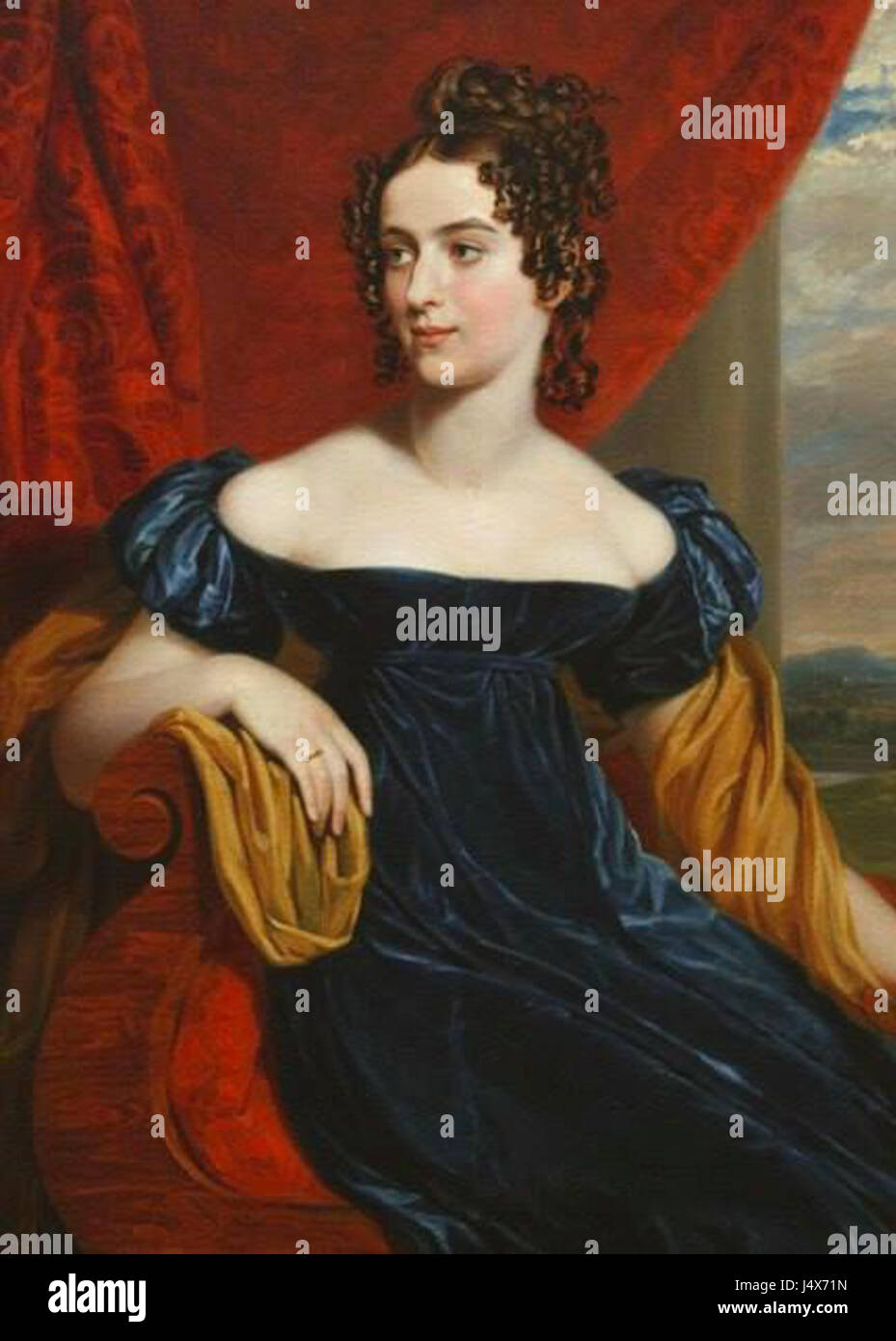 Unknown lady by G.Dawe (1820s, GIM) Stock Photohttps://www.alamy.com/image-license-details/?v=1https://www.alamy.com/stock-photo-unknown-lady-by-gdawe-1820s-gim-140717857.html
RMJ4X71N–Unknown lady by G.Dawe (1820s, GIM)
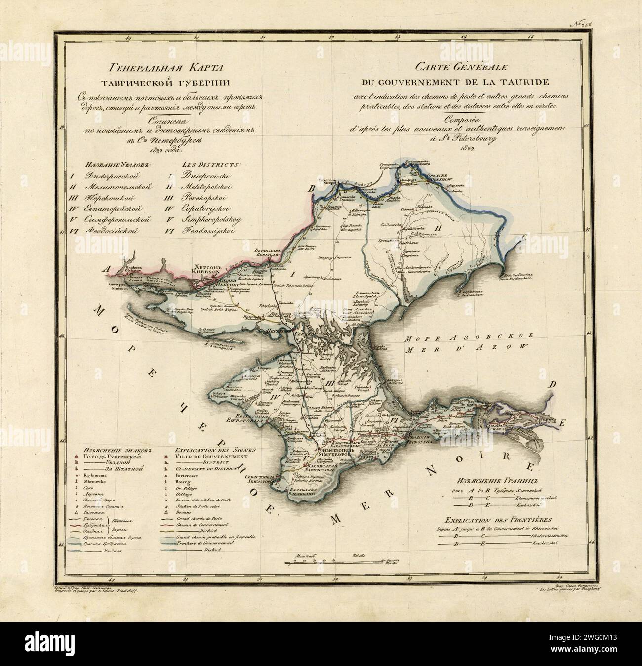 General Map of Taurida Province: Showing Postal and Major Roads, Stations and the Distance in Versts between Them, 1822. This 1822 map ofTaurida Provinceis from a larger work,Geograficheskii atlas Rossiiskoi imperii, tsarstva Pol'skogo i velikogo kniazhestva Finliandskogo(Geographical atlas of the Russian Empire, the Kingdom of Poland, and the Grand Duchy of Finland), containing 60 maps of the Russian Empire. Compiled and engraved by Colonel V.P. Piadyshev, it reflects the detailed mapping carried out by Russian military cartographers in the first quarter of the 19th century. The map shows pop Stock Photohttps://www.alamy.com/image-license-details/?v=1https://www.alamy.com/general-map-of-taurida-province-showing-postal-and-major-roads-stations-and-the-distance-in-versts-between-them-1822-this-1822-map-oftaurida-provinceis-from-a-larger-workgeograficheskii-atlas-rossiiskoi-imperii-tsarstva-polskogo-i-velikogo-kniazhestva-finliandskogogeographical-atlas-of-the-russian-empire-the-kingdom-of-poland-and-the-grand-duchy-of-finland-containing-60-maps-of-the-russian-empire-compiled-and-engraved-by-colonel-vp-piadyshev-it-reflects-the-detailed-mapping-carried-out-by-russian-military-cartographers-in-the-first-quarter-of-the-19th-century-the-map-shows-pop-image595002719.html
RM2WG0M13–General Map of Taurida Province: Showing Postal and Major Roads, Stations and the Distance in Versts between Them, 1822. This 1822 map ofTaurida Provinceis from a larger work,Geograficheskii atlas Rossiiskoi imperii, tsarstva Pol'skogo i velikogo kniazhestva Finliandskogo(Geographical atlas of the Russian Empire, the Kingdom of Poland, and the Grand Duchy of Finland), containing 60 maps of the Russian Empire. Compiled and engraved by Colonel V.P. Piadyshev, it reflects the detailed mapping carried out by Russian military cartographers in the first quarter of the 19th century. The map shows pop
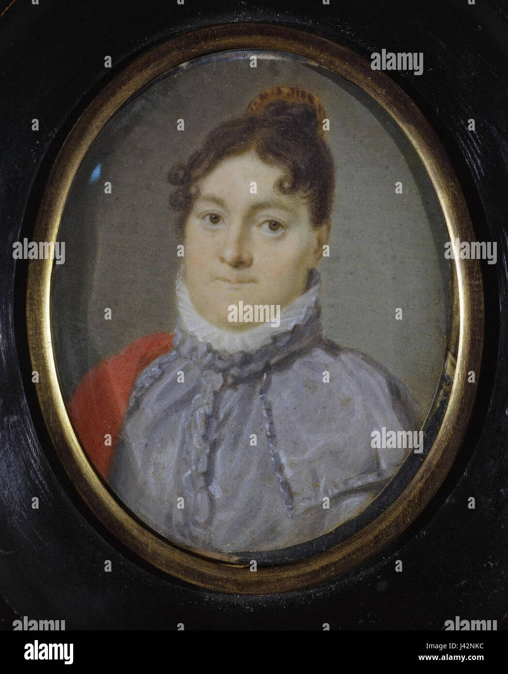 Maria Logginovna Manzey by anonim (1820s, Hermitage) Stock Photohttps://www.alamy.com/image-license-details/?v=1https://www.alamy.com/stock-photo-maria-logginovna-manzey-by-anonim-1820s-hermitage-140202480.html
RMJ42NKC–Maria Logginovna Manzey by anonim (1820s, Hermitage)
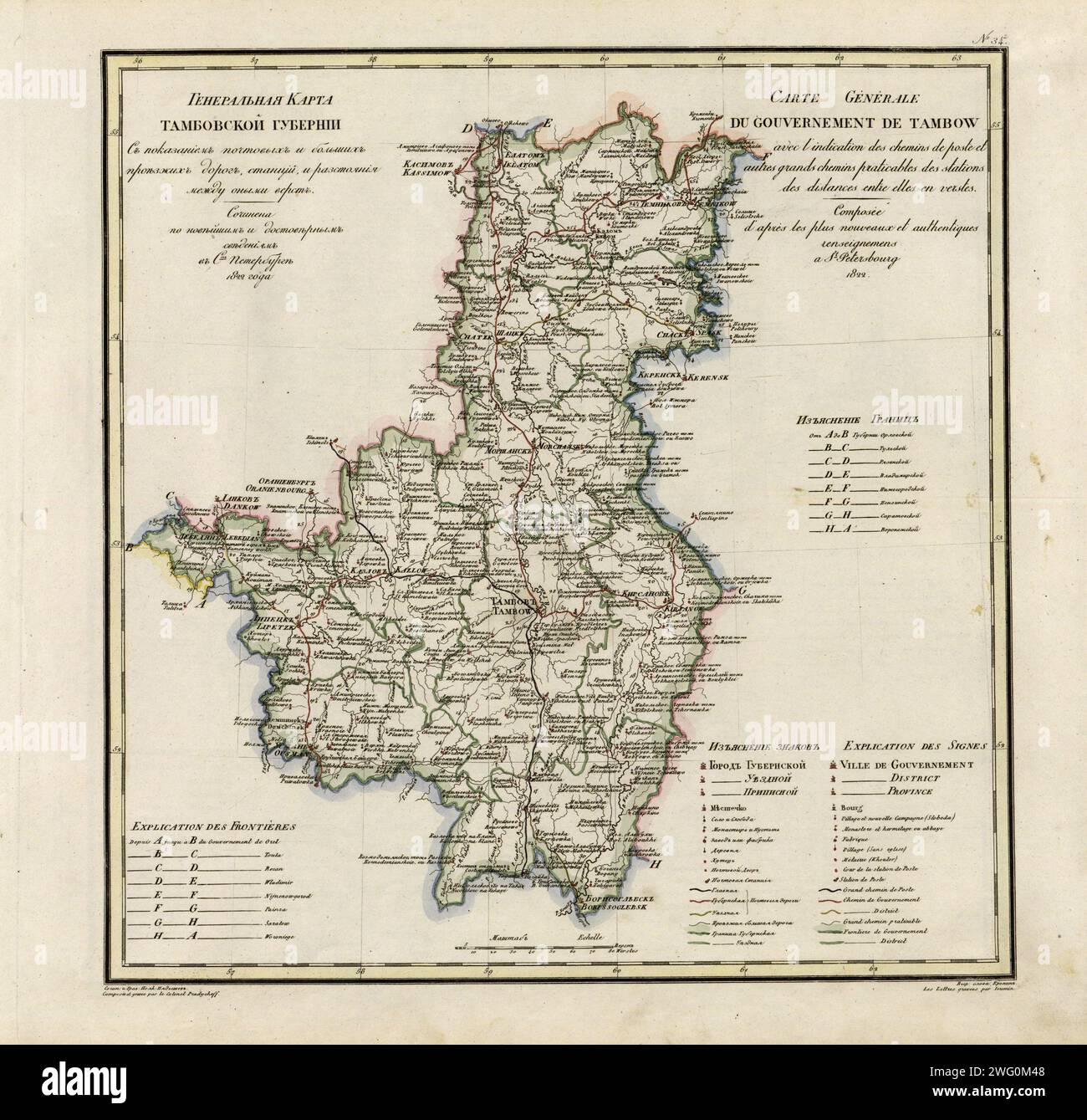 General Map of Tambov Province: Showing Postal and Major Roads, Stations and the Distance in Versts between Them, 1822. This 1822 map of Tambov Provinceis from a larger work,Geograficheskii atlas Rossiiskoi imperii, tsarstva Pol'skogo i velikogo kniazhestva Finliandskogo(Geographical atlas of the Russian Empire, the Kingdom of Poland, and the Grand Duchy of Finland), containing 60 maps of the Russian Empire. Compiled and engraved by Colonel V.P. Piadyshev, it reflects the detailed mapping carried out by Russian military cartographers in the first quarter of the 19th century. The map shows popu Stock Photohttps://www.alamy.com/image-license-details/?v=1https://www.alamy.com/general-map-of-tambov-province-showing-postal-and-major-roads-stations-and-the-distance-in-versts-between-them-1822-this-1822-map-of-tambov-provinceis-from-a-larger-workgeograficheskii-atlas-rossiiskoi-imperii-tsarstva-polskogo-i-velikogo-kniazhestva-finliandskogogeographical-atlas-of-the-russian-empire-the-kingdom-of-poland-and-the-grand-duchy-of-finland-containing-60-maps-of-the-russian-empire-compiled-and-engraved-by-colonel-vp-piadyshev-it-reflects-the-detailed-mapping-carried-out-by-russian-military-cartographers-in-the-first-quarter-of-the-19th-century-the-map-shows-popu-image595002808.html
RM2WG0M48–General Map of Tambov Province: Showing Postal and Major Roads, Stations and the Distance in Versts between Them, 1822. This 1822 map of Tambov Provinceis from a larger work,Geograficheskii atlas Rossiiskoi imperii, tsarstva Pol'skogo i velikogo kniazhestva Finliandskogo(Geographical atlas of the Russian Empire, the Kingdom of Poland, and the Grand Duchy of Finland), containing 60 maps of the Russian Empire. Compiled and engraved by Colonel V.P. Piadyshev, it reflects the detailed mapping carried out by Russian military cartographers in the first quarter of the 19th century. The map shows popu
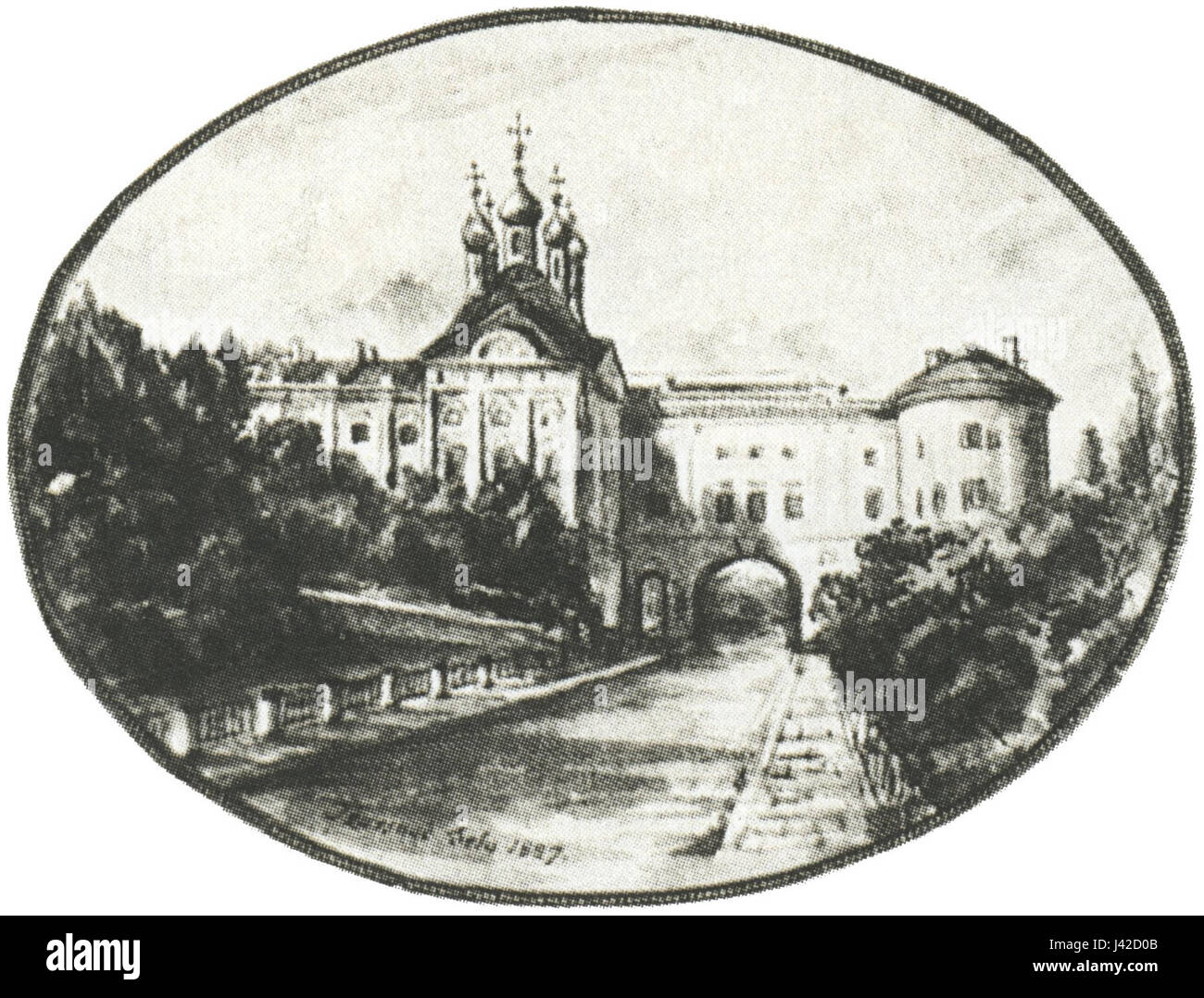 Lyceum in Tsarskoye Selo, Peterburg, 1820s Stock Photohttps://www.alamy.com/image-license-details/?v=1https://www.alamy.com/stock-photo-lyceum-in-tsarskoye-selo-peterburg-1820s-140195675.html
RMJ42D0B–Lyceum in Tsarskoye Selo, Peterburg, 1820s
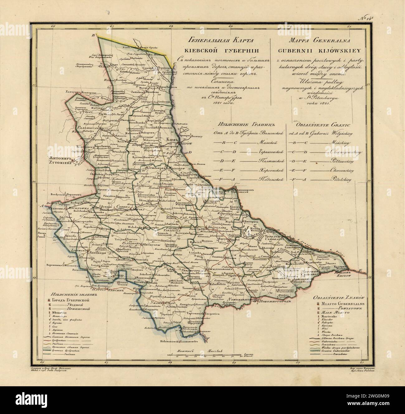 General Map of Kiev Province: Showing Postal and Major Roads, Stations and the Distance in Versts between Them, 1821. This 1821 map of Kiev Province is from a larger work,Geograficheskii atlas Rossiiskoi imperii, tsarstva Pol'skogo i velikogo kniazhestva Finliandskogo (Geographical atlas of the Russian Empire, the Kingdom of Poland, and the Grand Duchy of Finland), containing 60 maps of the Russian Empire. Compiled and engraved by Colonel V.P. Piadyshev, it reflects the detailed mapping carried out by Russian military cartographers in the first quarter of the 19th century. The map shows popula Stock Photohttps://www.alamy.com/image-license-details/?v=1https://www.alamy.com/general-map-of-kiev-province-showing-postal-and-major-roads-stations-and-the-distance-in-versts-between-them-1821-this-1821-map-of-kiev-province-is-from-a-larger-workgeograficheskii-atlas-rossiiskoi-imperii-tsarstva-polskogo-i-velikogo-kniazhestva-finliandskogo-geographical-atlas-of-the-russian-empire-the-kingdom-of-poland-and-the-grand-duchy-of-finland-containing-60-maps-of-the-russian-empire-compiled-and-engraved-by-colonel-vp-piadyshev-it-reflects-the-detailed-mapping-carried-out-by-russian-military-cartographers-in-the-first-quarter-of-the-19th-century-the-map-shows-popula-image595002697.html
RM2WG0M09–General Map of Kiev Province: Showing Postal and Major Roads, Stations and the Distance in Versts between Them, 1821. This 1821 map of Kiev Province is from a larger work,Geograficheskii atlas Rossiiskoi imperii, tsarstva Pol'skogo i velikogo kniazhestva Finliandskogo (Geographical atlas of the Russian Empire, the Kingdom of Poland, and the Grand Duchy of Finland), containing 60 maps of the Russian Empire. Compiled and engraved by Colonel V.P. Piadyshev, it reflects the detailed mapping carried out by Russian military cartographers in the first quarter of the 19th century. The map shows popula
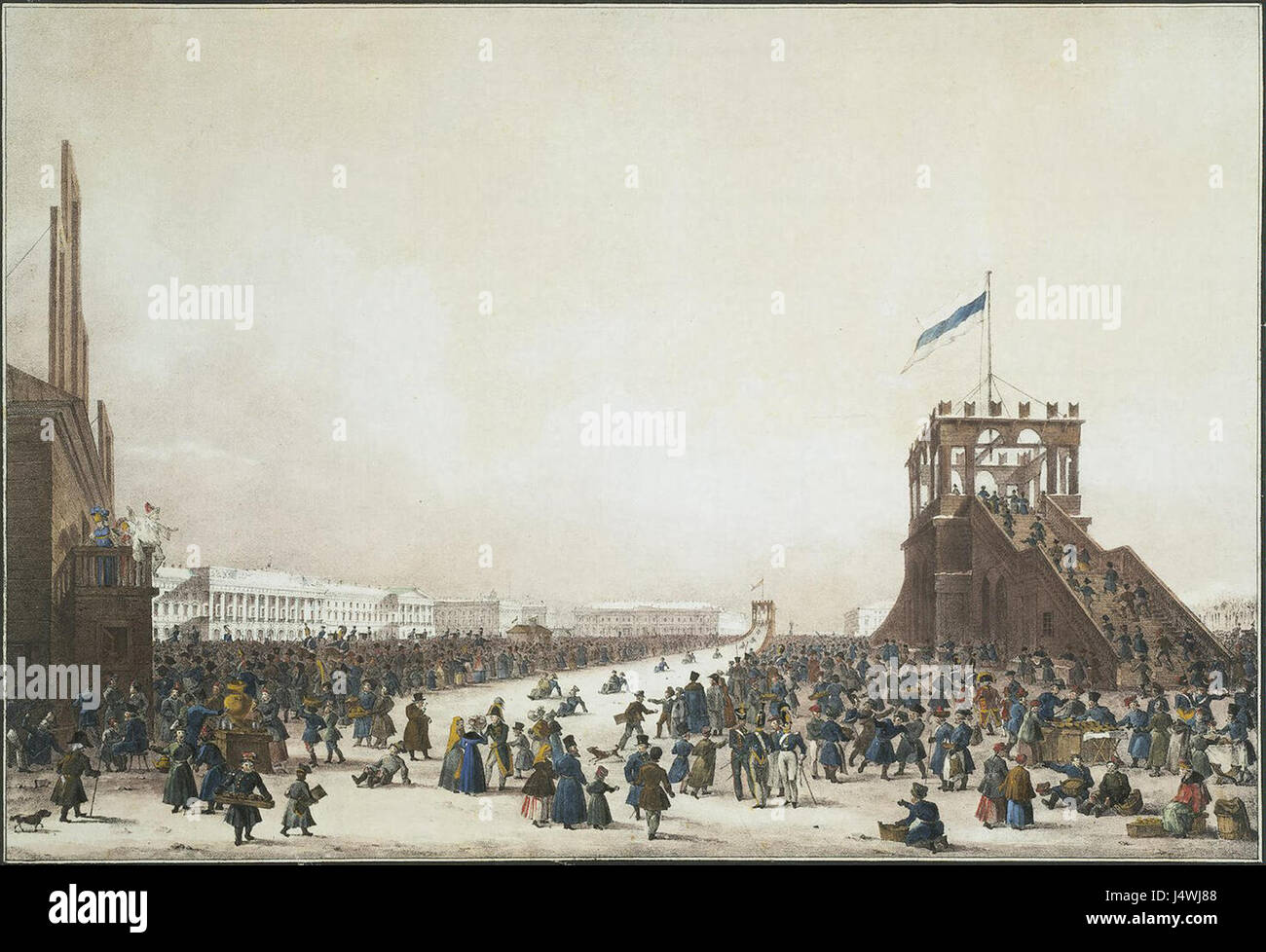 Waterslides on the Mars field place in 1820s Stock Photohttps://www.alamy.com/image-license-details/?v=1https://www.alamy.com/stock-photo-waterslides-on-the-mars-field-place-in-1820s-140704712.html
RMJ4WJ88–Waterslides on the Mars field place in 1820s
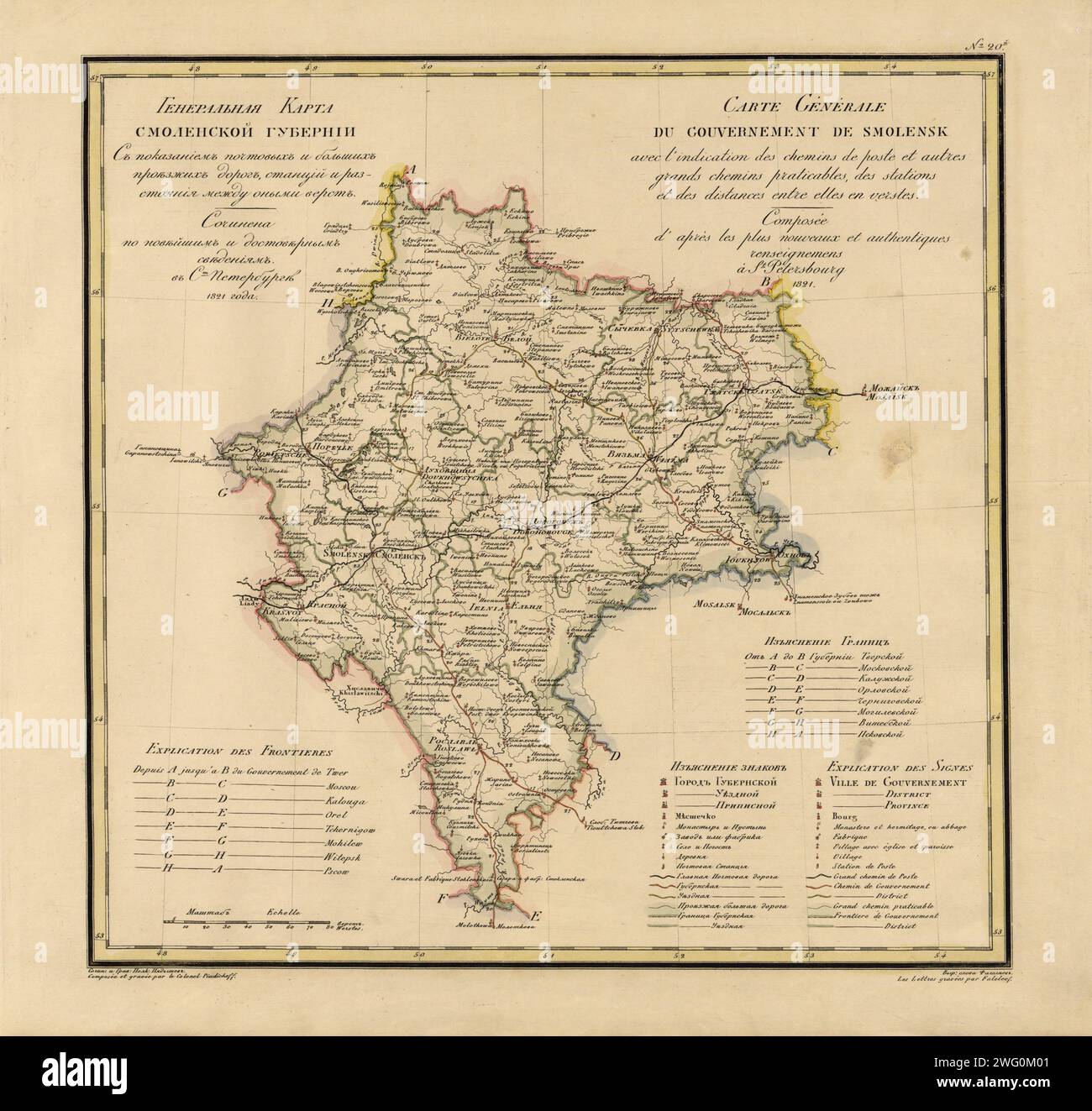 General Map of Moscow Province: Showing Postal and Major Roads, Stations and the Distance in Versts between Them, 1821. This 1821 map of Smolensk Provinceis from a larger work,Geograficheskii atlas Rossiiskoi imperii, tsarstva Pol'skogo i velikogo kniazhestva Finliandskogo(Geographical atlas of the Russian Empire, the Kingdom of Poland, and the Grand Duchy of Finland), containing 60 maps of the Russian Empire. Compiled and engraved by Colonel V.P. Piadyshev, it reflects the detailed mapping carried out by Russian military cartographers in the first quarter of the 19th century. The map shows po Stock Photohttps://www.alamy.com/image-license-details/?v=1https://www.alamy.com/general-map-of-moscow-province-showing-postal-and-major-roads-stations-and-the-distance-in-versts-between-them-1821-this-1821-map-of-smolensk-provinceis-from-a-larger-workgeograficheskii-atlas-rossiiskoi-imperii-tsarstva-polskogo-i-velikogo-kniazhestva-finliandskogogeographical-atlas-of-the-russian-empire-the-kingdom-of-poland-and-the-grand-duchy-of-finland-containing-60-maps-of-the-russian-empire-compiled-and-engraved-by-colonel-vp-piadyshev-it-reflects-the-detailed-mapping-carried-out-by-russian-military-cartographers-in-the-first-quarter-of-the-19th-century-the-map-shows-po-image595002689.html
RM2WG0M01–General Map of Moscow Province: Showing Postal and Major Roads, Stations and the Distance in Versts between Them, 1821. This 1821 map of Smolensk Provinceis from a larger work,Geograficheskii atlas Rossiiskoi imperii, tsarstva Pol'skogo i velikogo kniazhestva Finliandskogo(Geographical atlas of the Russian Empire, the Kingdom of Poland, and the Grand Duchy of Finland), containing 60 maps of the Russian Empire. Compiled and engraved by Colonel V.P. Piadyshev, it reflects the detailed mapping carried out by Russian military cartographers in the first quarter of the 19th century. The map shows po
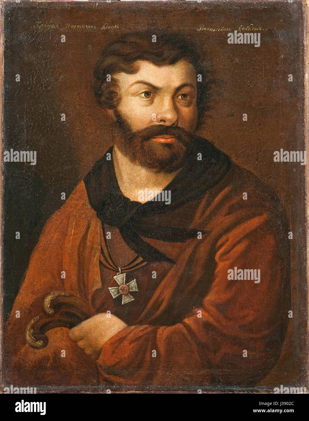 Denis Davydov by V.P.Langer (1820s, GIM) Stock Photohttps://www.alamy.com/image-license-details/?v=1https://www.alamy.com/stock-photo-denis-davydov-by-vplanger-1820s-gim-139724548.html
RMJ3902C–Denis Davydov by V.P.Langer (1820s, GIM)
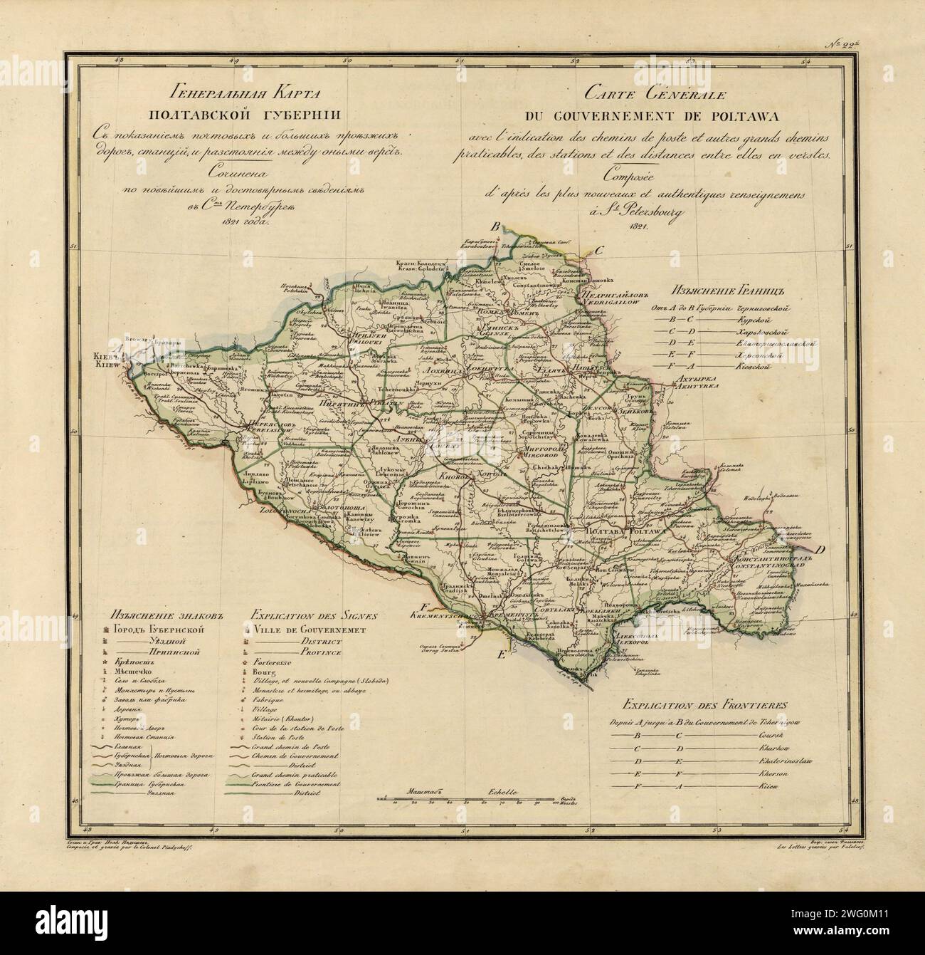 General Map of Poltava Province: Showing Postal and Major Roads, Stations and the Distance in Versts between Them, 1821. This 1821 map of Poltava Provinceis from a larger work,Geograficheskii atlas Rossiiskoi imperii, tsarstva Pol'skogo i velikogo kniazhestva Finliandskogo(Geographical atlas of the Russian Empire, the Kingdom of Poland, and the Grand Duchy of Finland), containing 60 maps of the Russian Empire. Compiled and engraved by Colonel V.P. Piadyshev, it reflects the detailed mapping carried out by Russian military cartographers in the first quarter of the 19th century. The map shows po Stock Photohttps://www.alamy.com/image-license-details/?v=1https://www.alamy.com/general-map-of-poltava-province-showing-postal-and-major-roads-stations-and-the-distance-in-versts-between-them-1821-this-1821-map-of-poltava-provinceis-from-a-larger-workgeograficheskii-atlas-rossiiskoi-imperii-tsarstva-polskogo-i-velikogo-kniazhestva-finliandskogogeographical-atlas-of-the-russian-empire-the-kingdom-of-poland-and-the-grand-duchy-of-finland-containing-60-maps-of-the-russian-empire-compiled-and-engraved-by-colonel-vp-piadyshev-it-reflects-the-detailed-mapping-carried-out-by-russian-military-cartographers-in-the-first-quarter-of-the-19th-century-the-map-shows-po-image595002717.html
RM2WG0M11–General Map of Poltava Province: Showing Postal and Major Roads, Stations and the Distance in Versts between Them, 1821. This 1821 map of Poltava Provinceis from a larger work,Geograficheskii atlas Rossiiskoi imperii, tsarstva Pol'skogo i velikogo kniazhestva Finliandskogo(Geographical atlas of the Russian Empire, the Kingdom of Poland, and the Grand Duchy of Finland), containing 60 maps of the Russian Empire. Compiled and engraved by Colonel V.P. Piadyshev, it reflects the detailed mapping carried out by Russian military cartographers in the first quarter of the 19th century. The map shows po
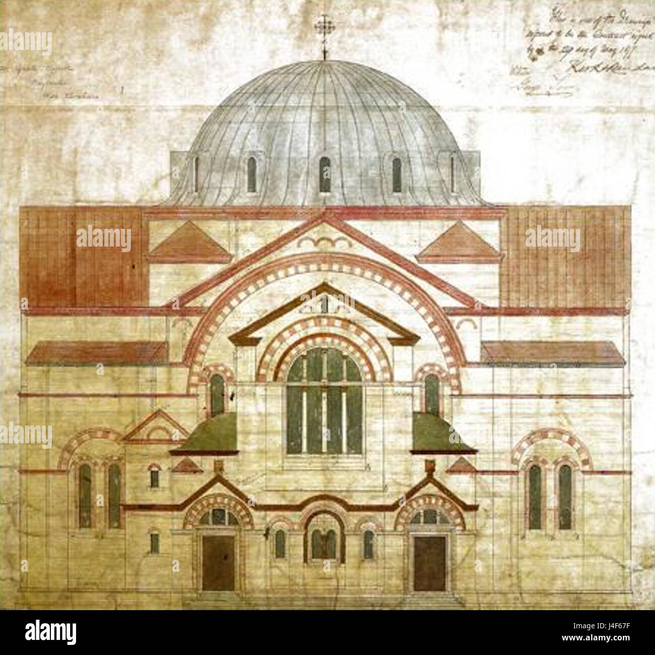 Architectural design Hagia Sophia orthodox cathedral London 1820s Stock Photohttps://www.alamy.com/image-license-details/?v=1https://www.alamy.com/stock-photo-architectural-design-hagia-sophia-orthodox-cathedral-london-1820s-140475763.html
RMJ4F67F–Architectural design Hagia Sophia orthodox cathedral London 1820s