Quick filters:
3 mile road sign Stock Photos and Images
 Pi symbol Mile Marker on Milestone Road, Nantucket, Massachusetts, USA. The pi sign milestone marks mile 3.14 Stock Photohttps://www.alamy.com/image-license-details/?v=1https://www.alamy.com/stock-photo-pi-symbol-mile-marker-on-milestone-road-nantucket-massachusetts-usa-33556602.html
RFBXGHP2–Pi symbol Mile Marker on Milestone Road, Nantucket, Massachusetts, USA. The pi sign milestone marks mile 3.14
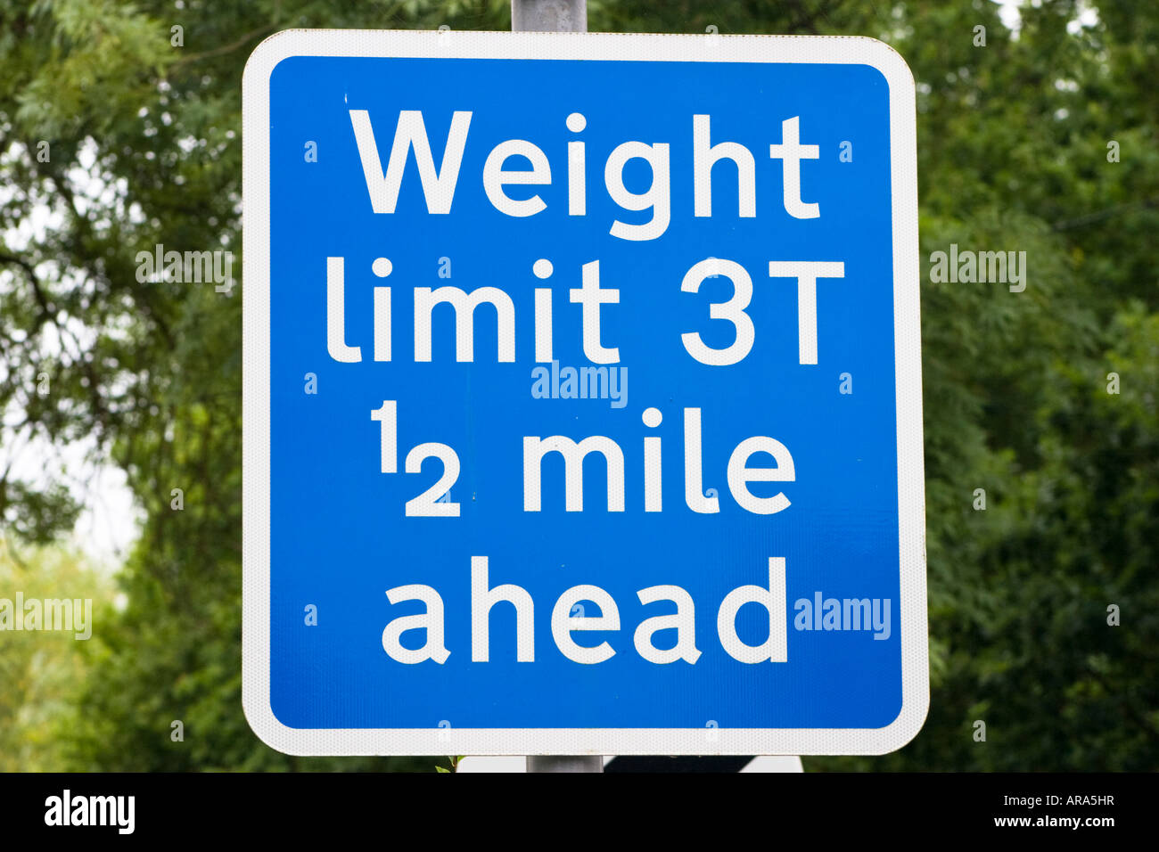 Square blue weight limit 3 tonnes half a mile ahead road sign Stock Photohttps://www.alamy.com/image-license-details/?v=1https://www.alamy.com/stock-photo-square-blue-weight-limit-3-tonnes-half-a-mile-ahead-road-sign-15989218.html
RFARA5HR–Square blue weight limit 3 tonnes half a mile ahead road sign
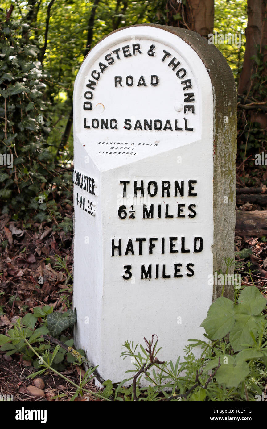 Old 19th century Milestone in Edenthorpe - Doncaster and Thorne Road - 4 miles to Doncaster - 3 miles to Hatfield - 6¼ miles to Thorne Stock Photohttps://www.alamy.com/image-license-details/?v=1https://www.alamy.com/old-19th-century-milestone-in-edenthorpe-doncaster-and-thorne-road-4-miles-to-doncaster-3-miles-to-hatfield-6-miles-to-thorne-image246191388.html
RMT8EYHG–Old 19th century Milestone in Edenthorpe - Doncaster and Thorne Road - 4 miles to Doncaster - 3 miles to Hatfield - 6¼ miles to Thorne
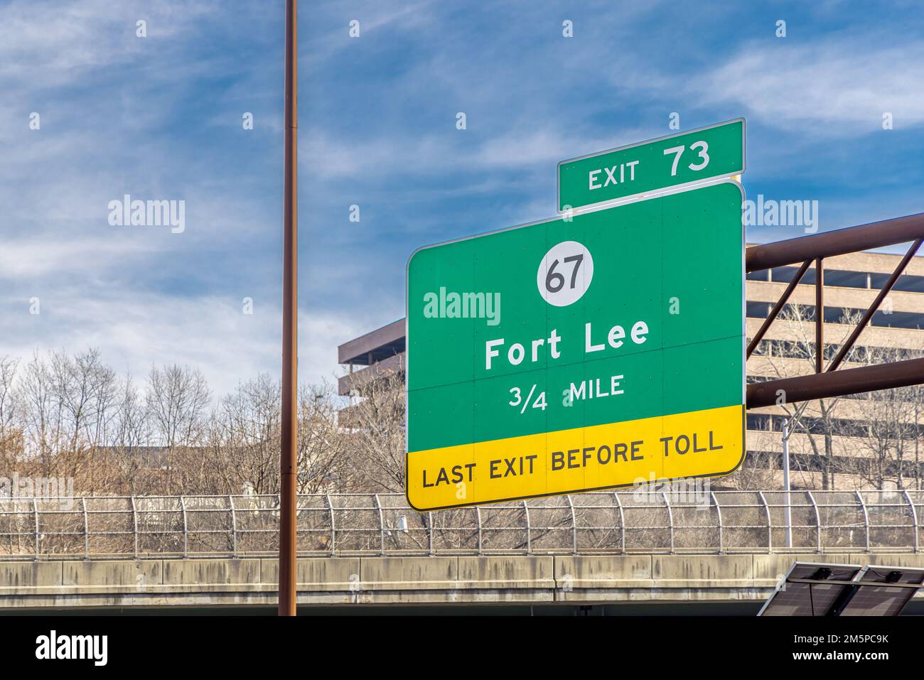 Large sign hanging over the road for exit 73 Stock Photohttps://www.alamy.com/image-license-details/?v=1https://www.alamy.com/large-sign-hanging-over-the-road-for-exit-73-image502666575.html
RF2M5PC9K–Large sign hanging over the road for exit 73
 Alaska Highway '3' mile marker, Dawson Creek, British Columbia, Canada. Stock Photohttps://www.alamy.com/image-license-details/?v=1https://www.alamy.com/stock-photo-alaska-highway-3-mile-marker-dawson-creek-british-columbia-canada-33040765.html
RMBWN3R9–Alaska Highway '3' mile marker, Dawson Creek, British Columbia, Canada.
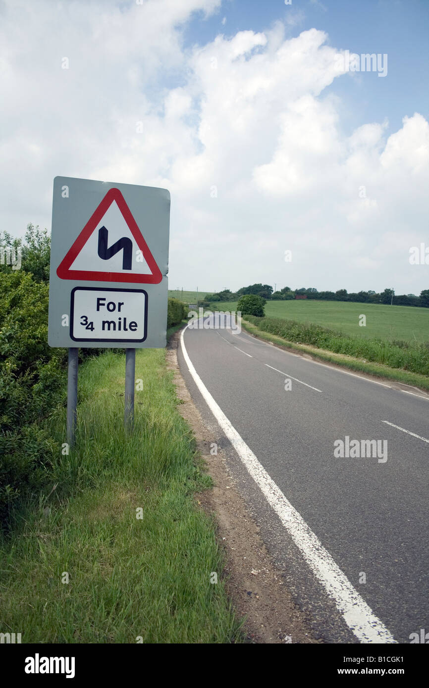 Road Sign- Windy Road for 3/4 Mile on country lane Stock Photohttps://www.alamy.com/image-license-details/?v=1https://www.alamy.com/stock-photo-road-sign-windy-road-for-34-mile-on-country-lane-18101525.html
RFB1CGK1–Road Sign- Windy Road for 3/4 Mile on country lane
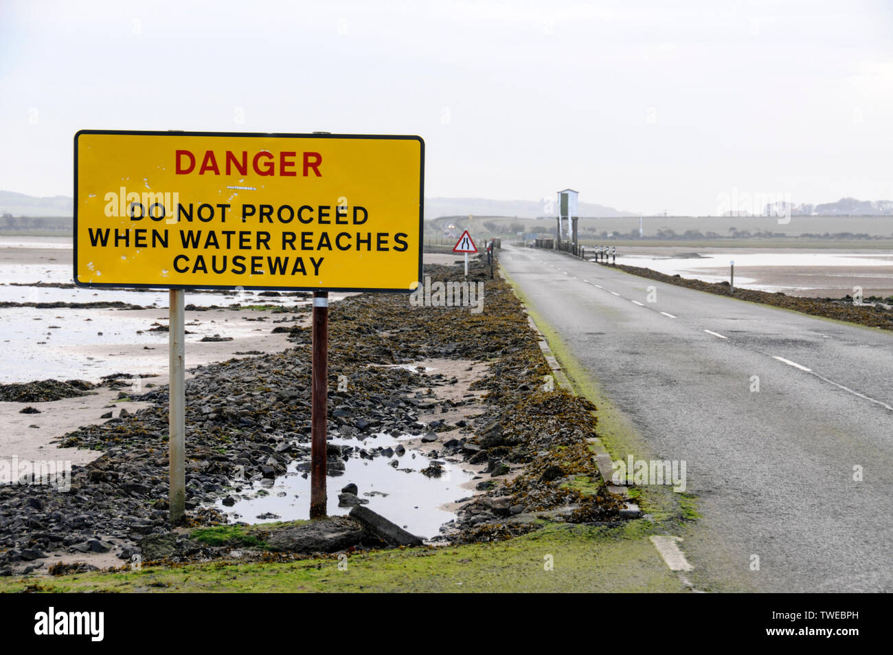 The Danger warning sign for tourist traffic crossing the 3-mile stretch of tarmac road at low tide connecting Lindisfarne Holy Island from the mainland Stock Photohttps://www.alamy.com/image-license-details/?v=1https://www.alamy.com/the-danger-warning-sign-for-tourist-traffic-crossing-the-3-mile-stretch-of-tarmac-road-at-low-tide-connecting-lindisfarne-holy-island-from-the-mainland-image256628137.html
RMTWEBPH–The Danger warning sign for tourist traffic crossing the 3-mile stretch of tarmac road at low tide connecting Lindisfarne Holy Island from the mainland
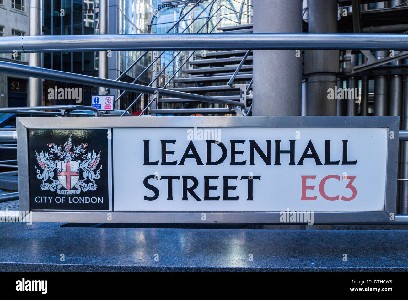 Leadenhall street road sign - City of London Stock Photohttps://www.alamy.com/image-license-details/?v=1https://www.alamy.com/leadenhall-street-road-sign-city-of-london-image66766143.html
RMDTHCW3–Leadenhall street road sign - City of London
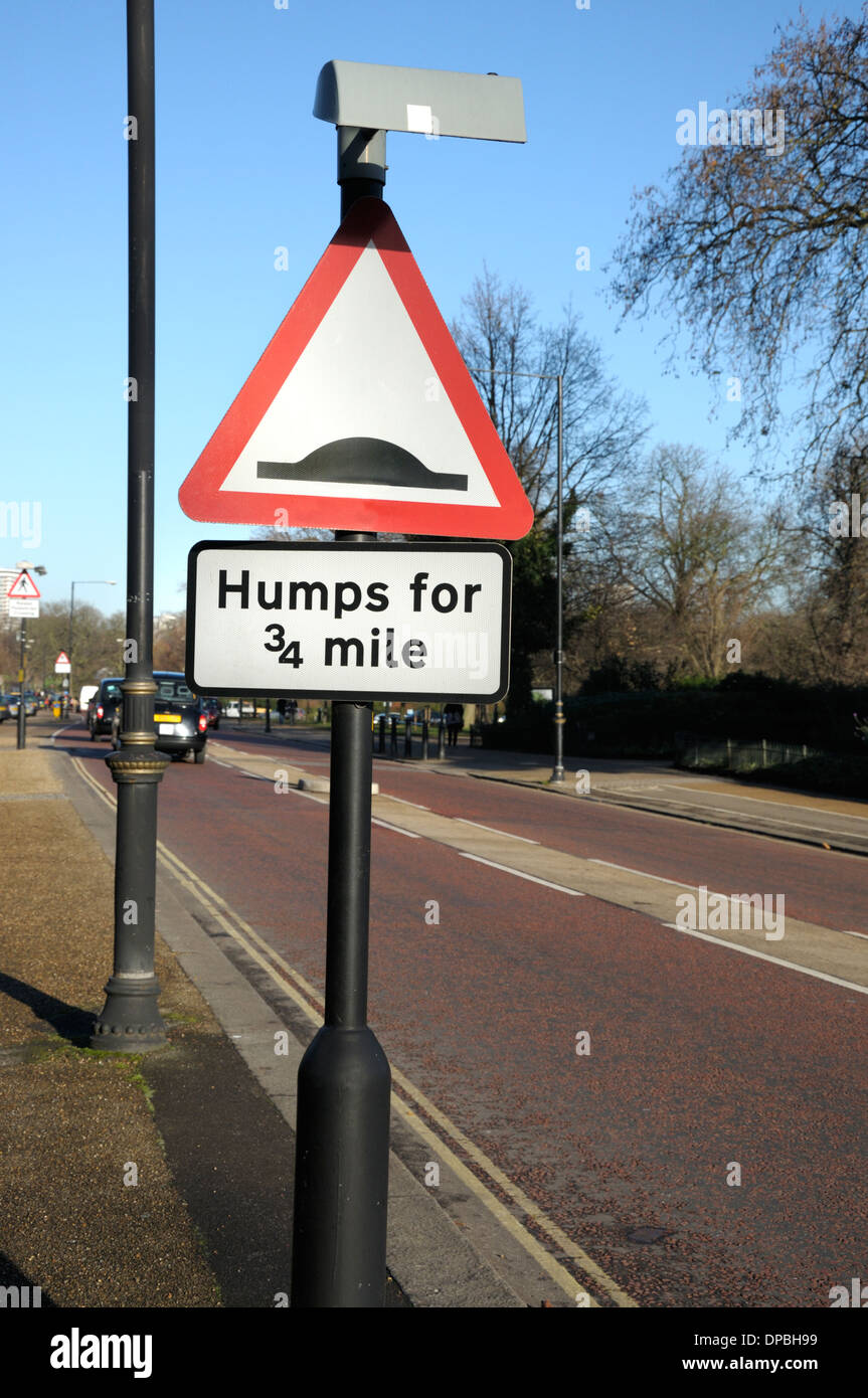 London, England, UK. 'Humps for 3/4 mile' sign in Kensington Gardens. Stock Photohttps://www.alamy.com/image-license-details/?v=1https://www.alamy.com/london-england-uk-humps-for-34-mile-sign-in-kensington-gardens-image65408597.html
RMDPBH99–London, England, UK. 'Humps for 3/4 mile' sign in Kensington Gardens.
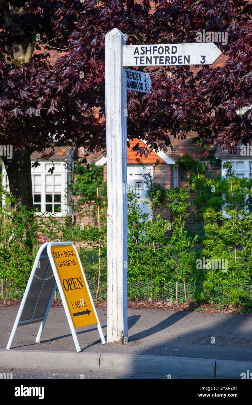 England, Kent, Rolvenden, Traditional wooden Road Sign Stock Photohttps://www.alamy.com/image-license-details/?v=1https://www.alamy.com/england-kent-rolvenden-traditional-wooden-road-sign-image626226520.html
RM2YAR28T–England, Kent, Rolvenden, Traditional wooden Road Sign
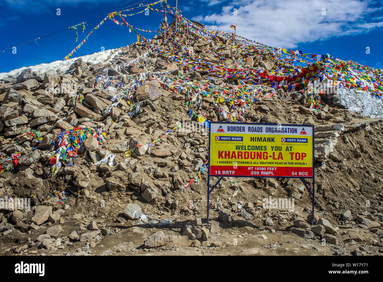 Ladakh, Jammu and Kashmir, India: Dated- May 3, 2019: A milestone at Khardungla Pass in Zanskar Range enroute Ladakh Stock Photohttps://www.alamy.com/image-license-details/?v=1https://www.alamy.com/ladakh-jammu-and-kashmir-india-dated-may-3-2019-a-milestone-at-khardungla-pass-in-zanskar-range-enroute-ladakh-image258945205.html
RFW17Y71–Ladakh, Jammu and Kashmir, India: Dated- May 3, 2019: A milestone at Khardungla Pass in Zanskar Range enroute Ladakh
 Deep snow after daylong snowfall the warning road sign on moorland single track lane in Nidderdale. Stock Photohttps://www.alamy.com/image-license-details/?v=1https://www.alamy.com/deep-snow-after-daylong-snowfall-the-warning-road-sign-on-moorland-single-track-lane-in-nidderdale-image397477924.html
RF2E2JK44–Deep snow after daylong snowfall the warning road sign on moorland single track lane in Nidderdale.
 Shoppers in Nanjing East Road. China's 3.4-mile long premier shopping street is a must-see metropolitan destination for fashion-shoppers. Stock Photohttps://www.alamy.com/image-license-details/?v=1https://www.alamy.com/stock-photo-shoppers-in-nanjing-east-road-chinas-34-mile-long-premier-shopping-146713916.html
RMJEKB2M–Shoppers in Nanjing East Road. China's 3.4-mile long premier shopping street is a must-see metropolitan destination for fashion-shoppers.
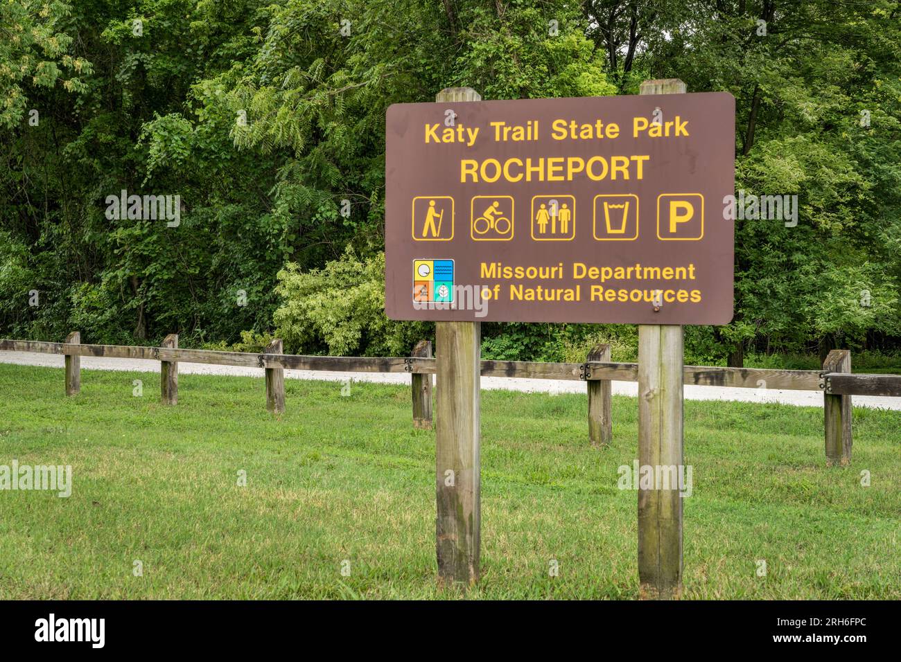 Rocheport, MO, USA - August 3, 2023: Welcome sign for Katy Trail State Park. The park is the nation's longest rails-to-trails project, 237 mile bike t Stock Photohttps://www.alamy.com/image-license-details/?v=1https://www.alamy.com/rocheport-mo-usa-august-3-2023-welcome-sign-for-katy-trail-state-park-the-park-is-the-nations-longest-rails-to-trails-project-237-mile-bike-t-image561325028.html
RF2RH6FPC–Rocheport, MO, USA - August 3, 2023: Welcome sign for Katy Trail State Park. The park is the nation's longest rails-to-trails project, 237 mile bike t
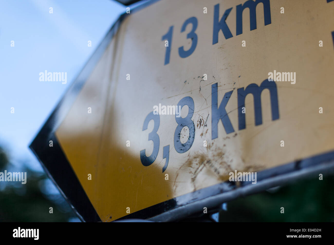 a worn and scratched road sign indicating the distance of 13 and 3,8 km Stock Photohttps://www.alamy.com/image-license-details/?v=1https://www.alamy.com/a-worn-and-scratched-road-sign-indicating-the-distance-of-13-and-38-image68939545.html
RFE04D2H–a worn and scratched road sign indicating the distance of 13 and 3,8 km
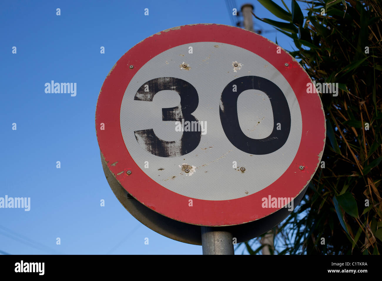 30 miles an hour speed limit sign Stock Photohttps://www.alamy.com/image-license-details/?v=1https://www.alamy.com/stock-photo-30-miles-an-hour-speed-limit-sign-35577790.html
RMC1TKRA–30 miles an hour speed limit sign
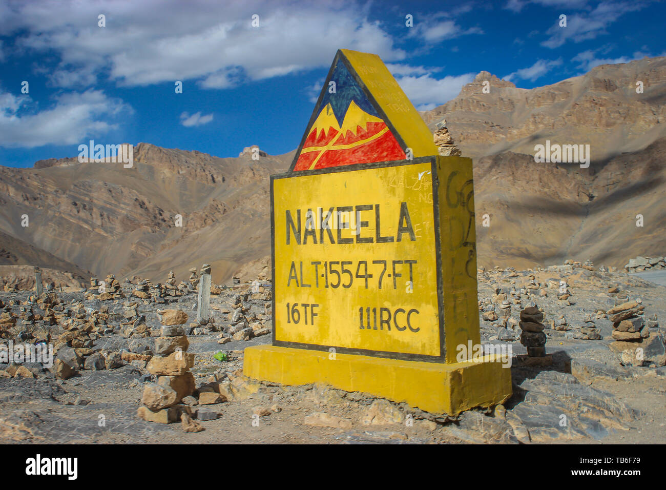 Ladakh, Jammu and Kashmir, India: Dated- May 3, 2019: A milestone at Nakeela Pass in Zanskar Range enroute Ladakh Stock Photohttps://www.alamy.com/image-license-details/?v=1https://www.alamy.com/ladakh-jammu-and-kashmir-india-dated-may-3-2019-a-milestone-at-nakeela-pass-in-zanskar-range-enroute-ladakh-image247850045.html
RFTB6F79–Ladakh, Jammu and Kashmir, India: Dated- May 3, 2019: A milestone at Nakeela Pass in Zanskar Range enroute Ladakh
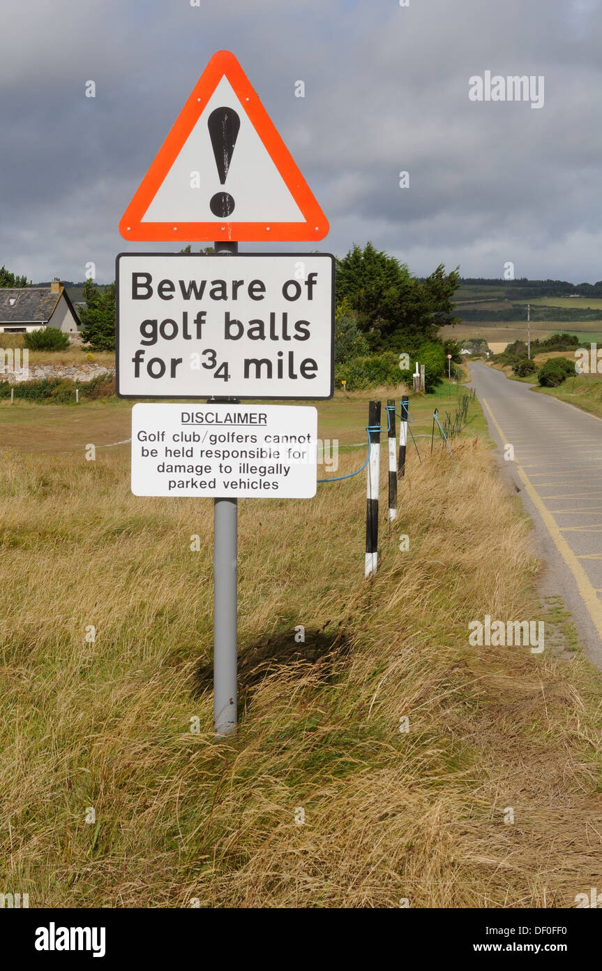 Road sign warning of golf balls for 3/4 mile. Scotland, UK Stock Photohttps://www.alamy.com/image-license-details/?v=1https://www.alamy.com/road-sign-warning-of-golf-balls-for-34-mile-scotland-uk-image60863124.html
RMDF0FF0–Road sign warning of golf balls for 3/4 mile. Scotland, UK
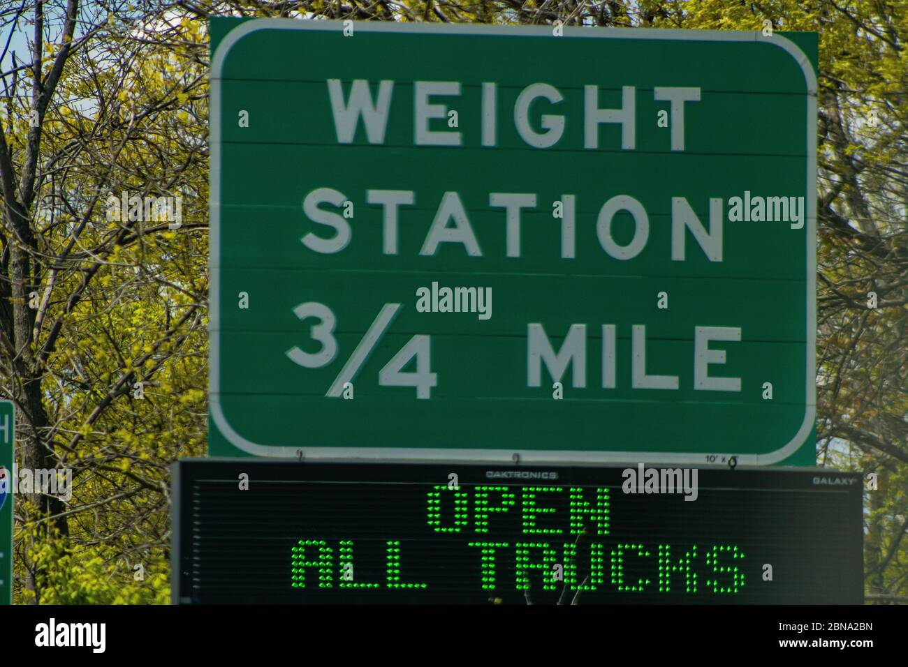 Truck Weighting in three fourths of a mile sign Stock Photohttps://www.alamy.com/image-license-details/?v=1https://www.alamy.com/truck-weighting-in-three-fourths-of-a-mile-sign-image357336553.html
RF2BNA2BN–Truck Weighting in three fourths of a mile sign
 SHANGHAI–NOV. 20, 2010. Nanjing Road in the morning on Nov. 20, 2010 in Shanghai. China's 3.4-mile premier shopping street is a must-see metropolitan Stock Photohttps://www.alamy.com/image-license-details/?v=1https://www.alamy.com/stock-photo-shanghainov-20-2010-nanjing-road-in-the-morning-on-nov-20-2010-in-146713990.html
RMJEKB5A–SHANGHAI–NOV. 20, 2010. Nanjing Road in the morning on Nov. 20, 2010 in Shanghai. China's 3.4-mile premier shopping street is a must-see metropolitan
 London, England, UK - July 3, 2009: Three pedestrians walk beneath a large London Underground roundel sign which casts a long shadow on the Number 1 P Stock Photohttps://www.alamy.com/image-license-details/?v=1https://www.alamy.com/stock-photo-london-england-uk-july-3-2009-three-pedestrians-walk-beneath-a-large-137689454.html
RFJ0088E–London, England, UK - July 3, 2009: Three pedestrians walk beneath a large London Underground roundel sign which casts a long shadow on the Number 1 P
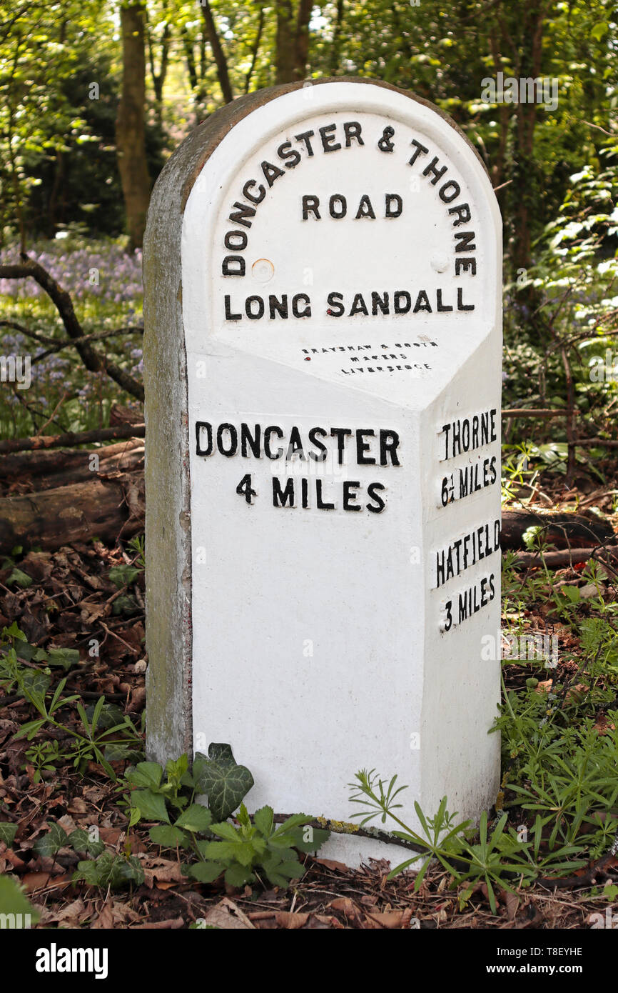 Old 19th century Milestone in Edenthorpe - Doncaster and Thorne Road - 4 miles to Doncaster - 3 miles to Hatfield - 6¼ miles to Thorne Stock Photohttps://www.alamy.com/image-license-details/?v=1https://www.alamy.com/old-19th-century-milestone-in-edenthorpe-doncaster-and-thorne-road-4-miles-to-doncaster-3-miles-to-hatfield-6-miles-to-thorne-image246191386.html
RMT8EYHE–Old 19th century Milestone in Edenthorpe - Doncaster and Thorne Road - 4 miles to Doncaster - 3 miles to Hatfield - 6¼ miles to Thorne
 White milepost showing distance to Hatfield Hertford and Ware Stock Photohttps://www.alamy.com/image-license-details/?v=1https://www.alamy.com/stock-photo-white-milepost-showing-distance-to-hatfield-hertford-and-ware-21615714.html
RMB74K1P–White milepost showing distance to Hatfield Hertford and Ware
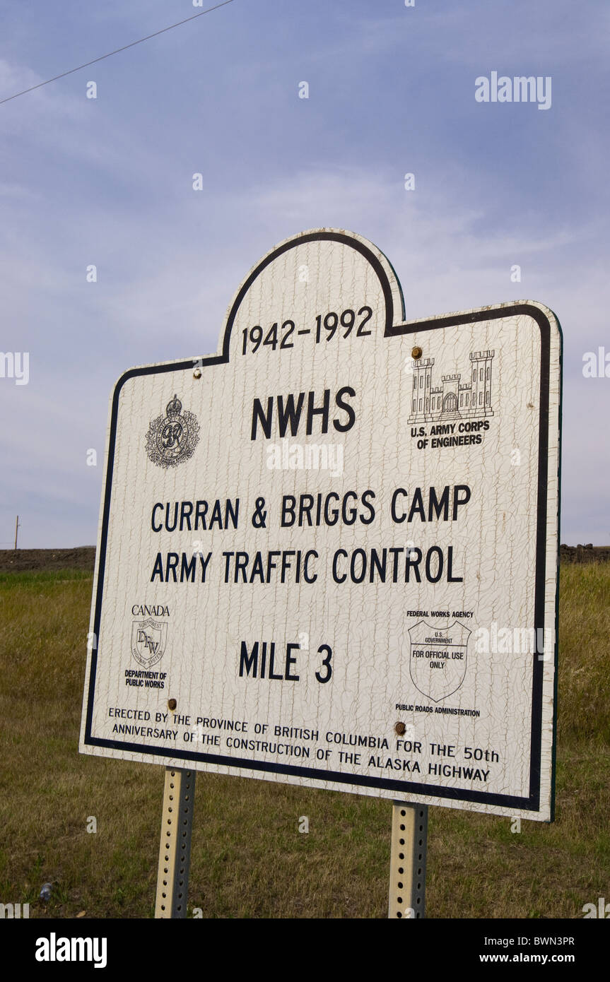 Curran & Briggs Camp Army Traffic Control at Alaska Highway '3'mile marker, Dawson Creek, British Columbia, Canada. Stock Photohttps://www.alamy.com/image-license-details/?v=1https://www.alamy.com/stock-photo-curran-briggs-camp-army-traffic-control-at-alaska-highway-3mile-marker-33040751.html
RMBWN3PR–Curran & Briggs Camp Army Traffic Control at Alaska Highway '3'mile marker, Dawson Creek, British Columbia, Canada.
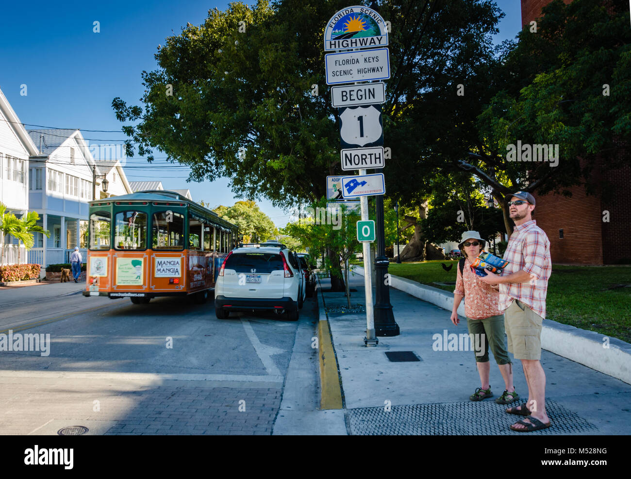 Tourists consult map at beginning point of U.S. Route 1. US 1 travels along the east coast of Florida, beginning in Key West running 2,369 miles (3,81 Stock Photohttps://www.alamy.com/image-license-details/?v=1https://www.alamy.com/stock-photo-tourists-consult-map-at-beginning-point-of-us-route-1-us-1-travels-175227740.html
RFM528NG–Tourists consult map at beginning point of U.S. Route 1. US 1 travels along the east coast of Florida, beginning in Key West running 2,369 miles (3,81
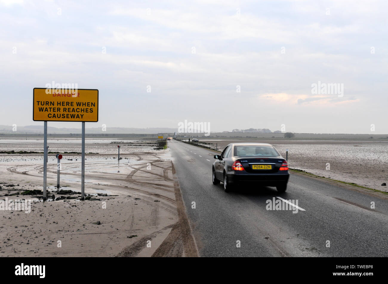 The Danger warning sign for tourist traffic crossing the 3-mile stretch of tarmac road at low tide connecting Lindisfarne Holy Island from the mainland Stock Photohttps://www.alamy.com/image-license-details/?v=1https://www.alamy.com/the-danger-warning-sign-for-tourist-traffic-crossing-the-3-mile-stretch-of-tarmac-road-at-low-tide-connecting-lindisfarne-holy-island-from-the-mainland-image256628128.html
RMTWEBP8–The Danger warning sign for tourist traffic crossing the 3-mile stretch of tarmac road at low tide connecting Lindisfarne Holy Island from the mainland
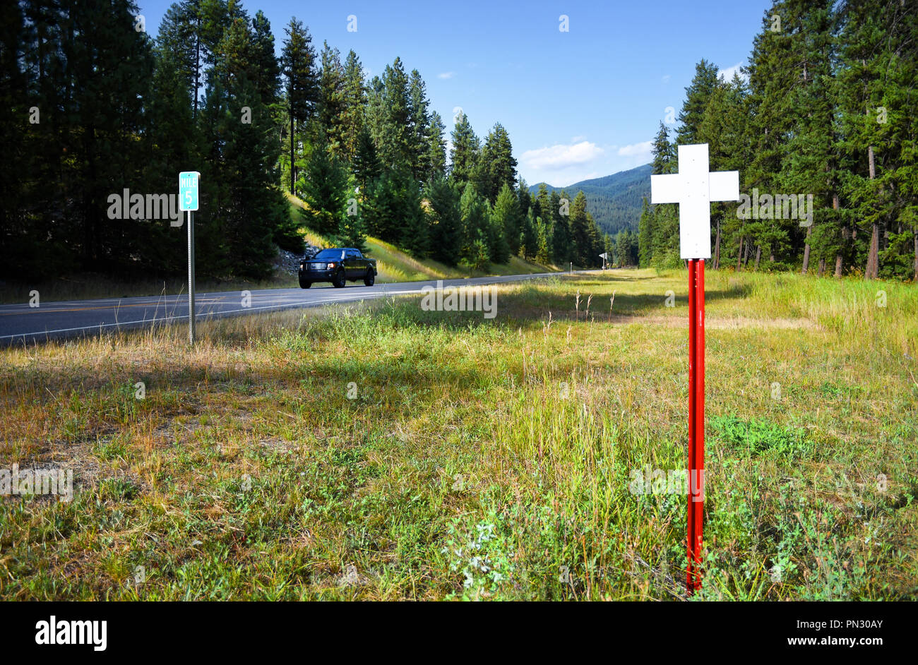 MONTANA HIGHWAY 135, MONTANA, USA: September 3, 2018: Pickup truck drives past a memorial cross representing a highway fatality Stock Photohttps://www.alamy.com/image-license-details/?v=1https://www.alamy.com/montana-highway-135-montana-usa-september-3-2018-pickup-truck-drives-past-a-memorial-cross-representing-a-highway-fatality-image219498355.html
RMPN30AY–MONTANA HIGHWAY 135, MONTANA, USA: September 3, 2018: Pickup truck drives past a memorial cross representing a highway fatality
 London, England, UK. 'Humps for 3/4 mile' sign in Kensington Gardens. Stock Photohttps://www.alamy.com/image-license-details/?v=1https://www.alamy.com/london-england-uk-humps-for-34-mile-sign-in-kensington-gardens-image65410095.html
RMDPBK6R–London, England, UK. 'Humps for 3/4 mile' sign in Kensington Gardens.
 Milestone 3 miles to Narberth.12 miles to Pembroke by roadside . Vertical Milestone 39594 Stock Photohttps://www.alamy.com/image-license-details/?v=1https://www.alamy.com/stock-photo-milestone-3-miles-to-narberth12-miles-to-pembroke-by-roadside-vertical-17904559.html
RMB13HCF–Milestone 3 miles to Narberth.12 miles to Pembroke by roadside . Vertical Milestone 39594
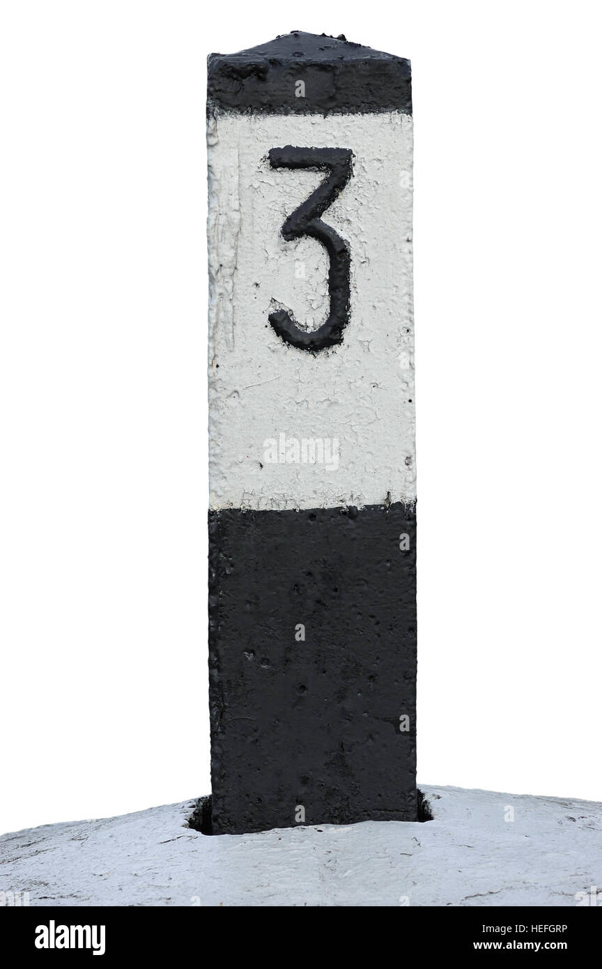 Railroad Route Rail Line Mile Marker In Black And White, Isolated Railway Number 3 Distance Kilometer Milestone Mark Close-up, Grunge Old Weathered Stock Photohttps://www.alamy.com/image-license-details/?v=1https://www.alamy.com/stock-photo-railroad-route-rail-line-mile-marker-in-black-and-white-isolated-railway-129420250.html
RFHEFGRP–Railroad Route Rail Line Mile Marker In Black And White, Isolated Railway Number 3 Distance Kilometer Milestone Mark Close-up, Grunge Old Weathered
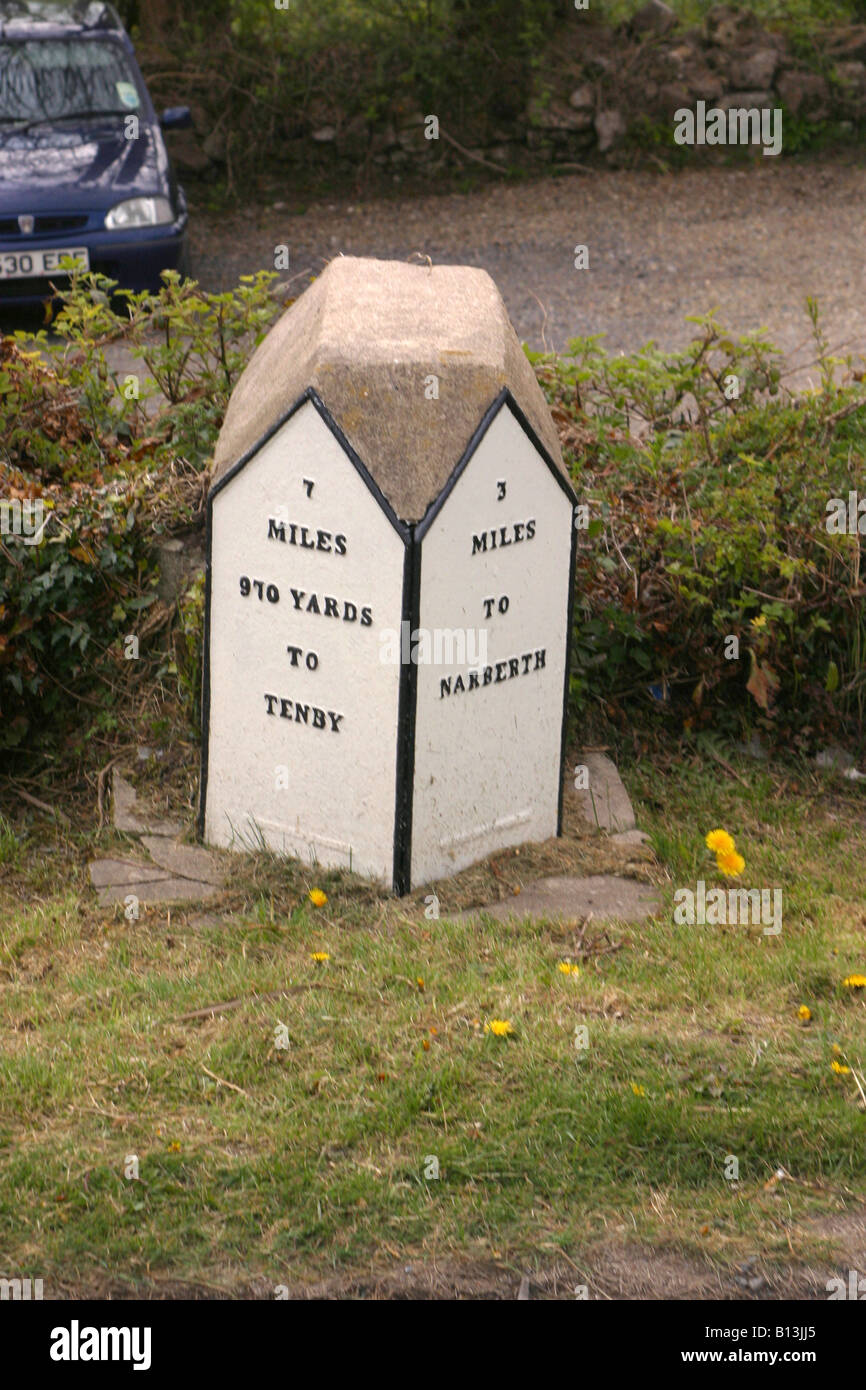 Milestone 7 miles to Tenby by roadside . 3 miles to Narberth.Vertical . Milestone 31939 Stock Photohttps://www.alamy.com/image-license-details/?v=1https://www.alamy.com/stock-photo-milestone-7-miles-to-tenby-by-roadside-3-miles-to-narberthvertical-17905501.html
RMB13JJ5–Milestone 7 miles to Tenby by roadside . 3 miles to Narberth.Vertical . Milestone 31939
 A truck branded for Boar’s Head delivering provisions to a market in Chelsea in New York on Tuesday, September 3, 2024. Boar’s Head has recalled approximately 7 million pounds of deli meats due to the presence of listeria in some of its products. (© Richard B. Levine) Stock Photohttps://www.alamy.com/image-license-details/?v=1https://www.alamy.com/a-truck-branded-for-boars-head-delivering-provisions-to-a-market-in-chelsea-in-new-york-on-tuesday-september-3-2024-boars-head-has-recalled-approximately-7-million-pounds-of-deli-meats-due-to-the-presence-of-listeria-in-some-of-its-products-richard-b-levine-image620197595.html
RM2Y10CA3–A truck branded for Boar’s Head delivering provisions to a market in Chelsea in New York on Tuesday, September 3, 2024. Boar’s Head has recalled approximately 7 million pounds of deli meats due to the presence of listeria in some of its products. (© Richard B. Levine)
 Milestone 6 miles to Haverfordwest by roadside . 3 miles to Narberth.12 miles to Pembroke. Vertical Milestone 39596 Stock Photohttps://www.alamy.com/image-license-details/?v=1https://www.alamy.com/stock-photo-milestone-6-miles-to-haverfordwest-by-roadside-3-miles-to-narberth12-17904581.html
RMB13HD9–Milestone 6 miles to Haverfordwest by roadside . 3 miles to Narberth.12 miles to Pembroke. Vertical Milestone 39596
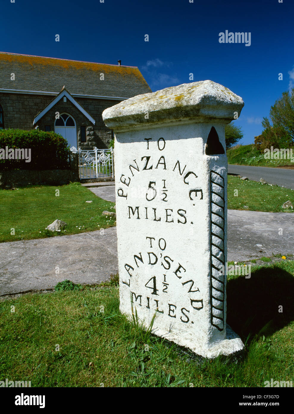 A three-sided milestone and converted chapel at a junction on the A30 road between Penzance and Land's End. Stock Photohttps://www.alamy.com/image-license-details/?v=1https://www.alamy.com/stock-photo-a-three-sided-milestone-and-converted-chapel-at-a-junction-on-the-43719185.html
RMCF3G7D–A three-sided milestone and converted chapel at a junction on the A30 road between Penzance and Land's End.
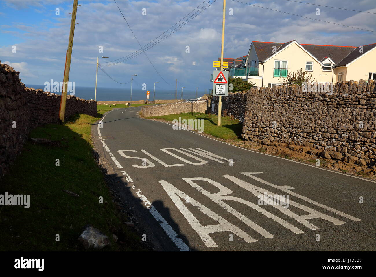 Roadway approaching a cattle grid with the sign artisticaly altered by a humourist which may make you remember this sign. Stock Photohttps://www.alamy.com/image-license-details/?v=1https://www.alamy.com/roadway-approaching-a-cattle-grid-with-the-sign-artisticaly-altered-image152724301.html
RMJTD5B9–Roadway approaching a cattle grid with the sign artisticaly altered by a humourist which may make you remember this sign.
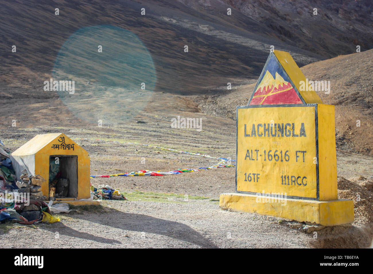 Ladakh, Jammu and Kashmir, India: Dated- May 3, 2019: A milestone at Lachungla Pass in Zanskar Range on Leh-Manali Highway Stock Photohttps://www.alamy.com/image-license-details/?v=1https://www.alamy.com/ladakh-jammu-and-kashmir-india-dated-may-3-2019-a-milestone-at-lachungla-pass-in-zanskar-range-on-leh-manali-highway-image247849822.html
RFTB6EYA–Ladakh, Jammu and Kashmir, India: Dated- May 3, 2019: A milestone at Lachungla Pass in Zanskar Range on Leh-Manali Highway
 Iron road marker Norbury Parish, Staffordshire, England Stock Photohttps://www.alamy.com/image-license-details/?v=1https://www.alamy.com/stock-photo-iron-road-marker-norbury-parish-staffordshire-england-25855660.html
RMBE1R4C–Iron road marker Norbury Parish, Staffordshire, England
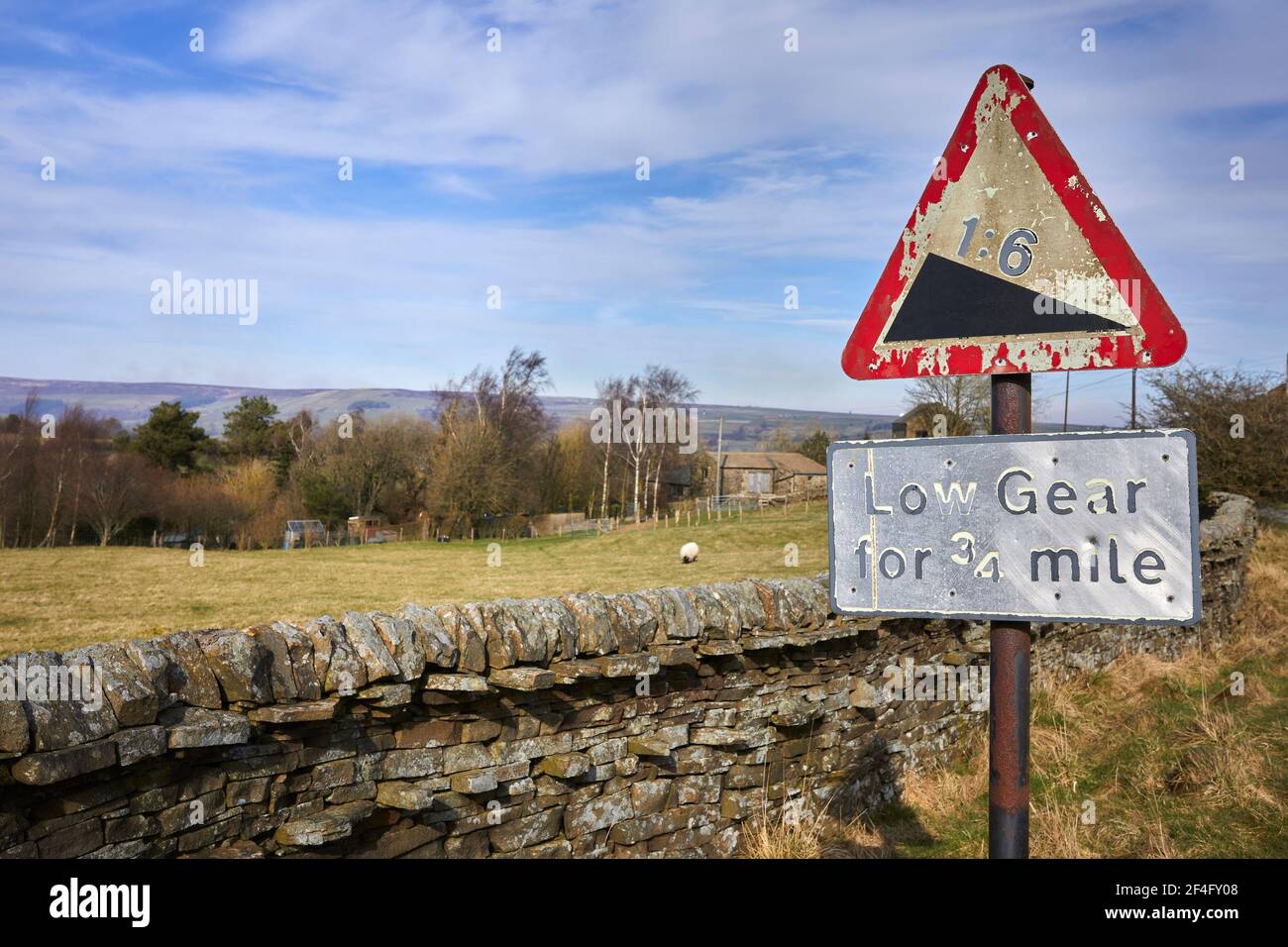 Weathered roadside warning sign for steep hill Stock Photohttps://www.alamy.com/image-license-details/?v=1https://www.alamy.com/weathered-roadside-warning-sign-for-steep-hill-image415857912.html
RF2F4FY08–Weathered roadside warning sign for steep hill
 SHANGHAI–NOV. 20, 2010. Nanjing Road in the morning on Nov. 20, 2010 in Shanghai. China's 3.4-mile premier shopping street is a must-see metropolitan Stock Photohttps://www.alamy.com/image-license-details/?v=1https://www.alamy.com/stock-photo-shanghainov-20-2010-nanjing-road-in-the-morning-on-nov-20-2010-in-146713991.html
RMJEKB5B–SHANGHAI–NOV. 20, 2010. Nanjing Road in the morning on Nov. 20, 2010 in Shanghai. China's 3.4-mile premier shopping street is a must-see metropolitan
 Seoul, South Korea, April 17, 2015: People walking down bustling Myeongdong pedestrian shopping street surrounded by commercialism of stores, signs an Stock Photohttps://www.alamy.com/image-license-details/?v=1https://www.alamy.com/seoul-south-korea-april-17-2015-people-walking-down-bustling-myeongdong-pedestrian-shopping-street-surrounded-by-commercialism-of-stores-signs-an-image619595430.html
RM2Y01086–Seoul, South Korea, April 17, 2015: People walking down bustling Myeongdong pedestrian shopping street surrounded by commercialism of stores, signs an
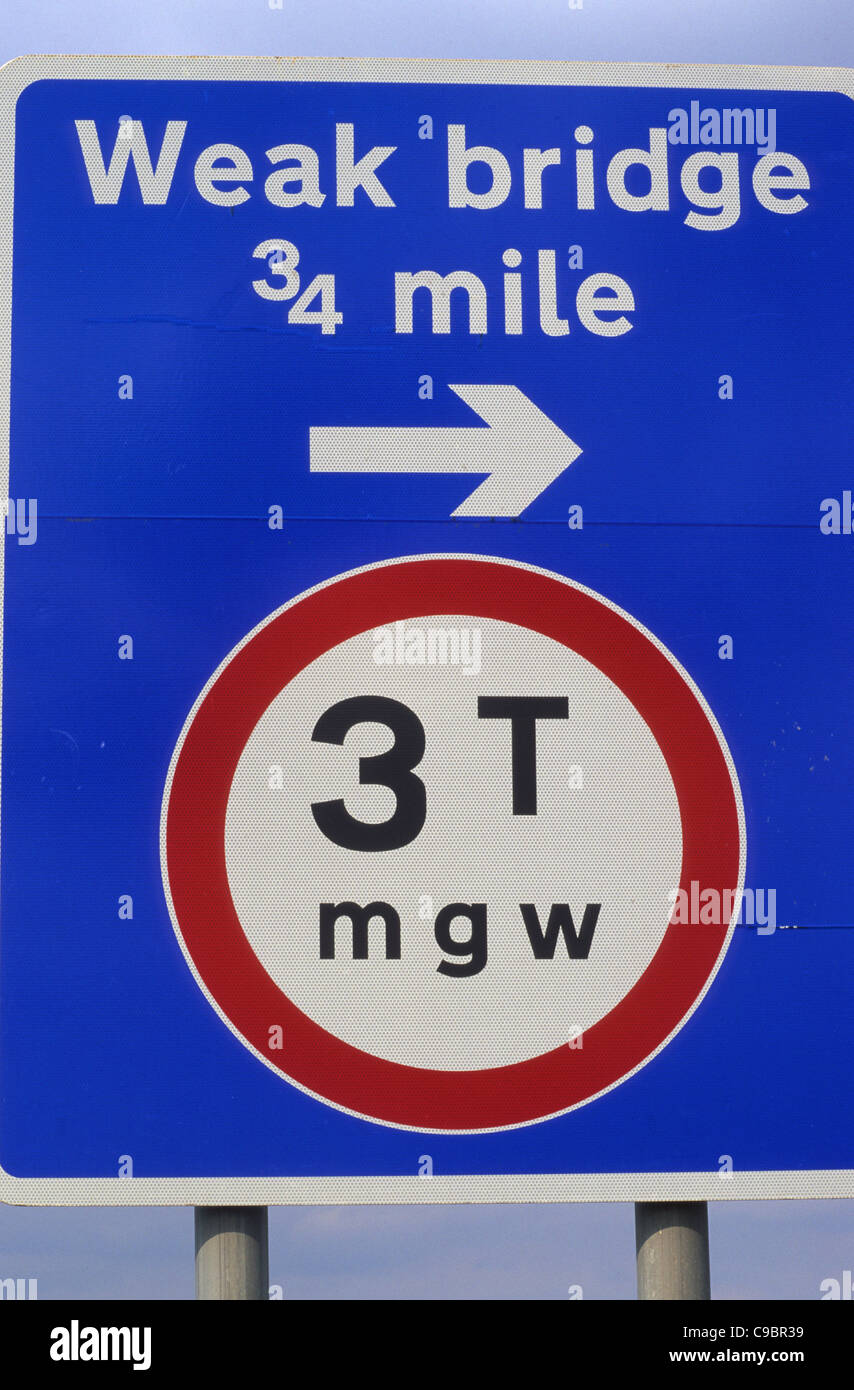 warning sign of weak bridge and weight restriction on road ahead leeds uk Stock Photohttps://www.alamy.com/image-license-details/?v=1https://www.alamy.com/stock-photo-warning-sign-of-weak-bridge-and-weight-restriction-on-road-ahead-leeds-40212237.html
RFC9BR39–warning sign of weak bridge and weight restriction on road ahead leeds uk
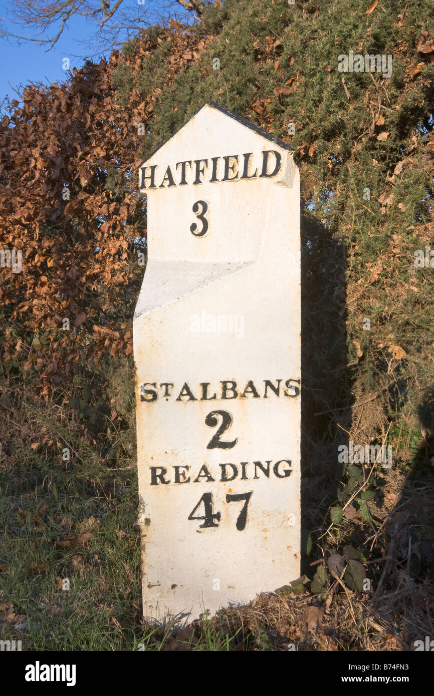 White milepost showing distance to Hatfield St Albans and Reading Stock Photohttps://www.alamy.com/image-license-details/?v=1https://www.alamy.com/stock-photo-white-milepost-showing-distance-to-hatfield-st-albans-and-reading-21613119.html
RMB74FN3–White milepost showing distance to Hatfield St Albans and Reading
 FISHER'S TAVERN Jackson's Tavern and Tollgate sites 3/10 mile South Irish Hill Road Corduroy until 1853 Renamed Newfield Road Stock Photohttps://www.alamy.com/image-license-details/?v=1https://www.alamy.com/stock-photo-fishers-tavern-jacksons-tavern-and-tollgate-sites-310-mile-south-irish-125172847.html
RMH7J36R–FISHER'S TAVERN Jackson's Tavern and Tollgate sites 3/10 mile South Irish Hill Road Corduroy until 1853 Renamed Newfield Road
 Geocacher checks GPS at beginning point of U.S. Route 1. US 1 travels along the east coast of Florida, beginning in Key West running 2,369 miles (3,81 Stock Photohttps://www.alamy.com/image-license-details/?v=1https://www.alamy.com/stock-photo-geocacher-checks-gps-at-beginning-point-of-us-route-1-us-1-travels-175176633.html
RFM4YYG9–Geocacher checks GPS at beginning point of U.S. Route 1. US 1 travels along the east coast of Florida, beginning in Key West running 2,369 miles (3,81
 The Danger warning sign for tourist traffic crossing the 3-mile stretch of tarmac road at low tide connecting Lindisfarne Holy Island from the mainland Stock Photohttps://www.alamy.com/image-license-details/?v=1https://www.alamy.com/the-danger-warning-sign-for-tourist-traffic-crossing-the-3-mile-stretch-of-tarmac-road-at-low-tide-connecting-lindisfarne-holy-island-from-the-mainland-image256628054.html
RMTWEBKJ–The Danger warning sign for tourist traffic crossing the 3-mile stretch of tarmac road at low tide connecting Lindisfarne Holy Island from the mainland
 Edinburgh/UK-24/3/18: Royal Mile and the Witchery Tour name signs on a wall of the building, Old Town of Edinburgh, Scotland Stock Photohttps://www.alamy.com/image-license-details/?v=1https://www.alamy.com/edinburghuk-24318-royal-mile-and-the-witchery-tour-name-signs-on-a-wall-of-the-building-old-town-of-edinburgh-scotland-image355556574.html
RF2BJD012–Edinburgh/UK-24/3/18: Royal Mile and the Witchery Tour name signs on a wall of the building, Old Town of Edinburgh, Scotland
 Old milestone showing distance to Adel (Addle) and Eccup West Yorkshire England UK Europe July Stock Photohttps://www.alamy.com/image-license-details/?v=1https://www.alamy.com/stock-photo-old-milestone-showing-distance-to-adel-addle-and-eccup-west-yorkshire-18946581.html
RMB2R2FH–Old milestone showing distance to Adel (Addle) and Eccup West Yorkshire England UK Europe July
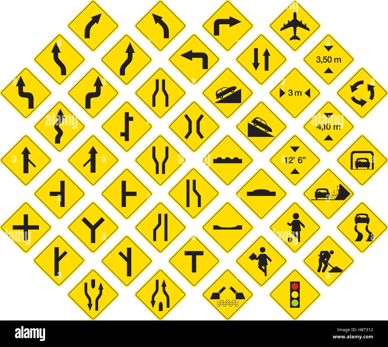 road signs in vector format pack 3 Stock Vectorhttps://www.alamy.com/image-license-details/?v=1https://www.alamy.com/stock-photo-road-signs-in-vector-format-pack-3-125919054.html
RFH8T312–road signs in vector format pack 3
 Railroad Route Rail Line Mile Marker In Black And White, Blank Empty Isolated Railway Distance Kilometer Milestone Mark Close-up Stock Photohttps://www.alamy.com/image-license-details/?v=1https://www.alamy.com/stock-photo-railroad-route-rail-line-mile-marker-in-black-and-white-blank-empty-125927160.html
RFH8TDAG–Railroad Route Rail Line Mile Marker In Black And White, Blank Empty Isolated Railway Distance Kilometer Milestone Mark Close-up
 Henry Bourne Joy & Lincoln Highway monuments commemorates America's first transcontinental automobile road and Henry Bourne Joy Stock Photohttps://www.alamy.com/image-license-details/?v=1https://www.alamy.com/stock-photo-henry-bourne-joy-lincoln-highway-monuments-commemorates-americas-first-28284085.html
RMBJ0CHW–Henry Bourne Joy & Lincoln Highway monuments commemorates America's first transcontinental automobile road and Henry Bourne Joy
 A truck branded for Boar’s Head delivering provisions to a market in Chelsea in New York on Tuesday, September 3, 2024. Boar’s Head has recalled approximately 7 million pounds of deli meats due to the presence of listeria in some of its products. (© Richard B. Levine) Stock Photohttps://www.alamy.com/image-license-details/?v=1https://www.alamy.com/a-truck-branded-for-boars-head-delivering-provisions-to-a-market-in-chelsea-in-new-york-on-tuesday-september-3-2024-boars-head-has-recalled-approximately-7-million-pounds-of-deli-meats-due-to-the-presence-of-listeria-in-some-of-its-products-richard-b-levine-image620197601.html
RM2Y10CA9–A truck branded for Boar’s Head delivering provisions to a market in Chelsea in New York on Tuesday, September 3, 2024. Boar’s Head has recalled approximately 7 million pounds of deli meats due to the presence of listeria in some of its products. (© Richard B. Levine)
 HOLLYWOOD FREEWAY NEAR VENTURA BEACH. (FROM THE DOCUMERICA-1 EXHIBITION. FOR OTHER IMAGES IN THIS ASSIGNMENT, SEE FICHE NUMBERS 1, 2, 3, 4, 5.); General notes: Road sign in view lists exits for Barham Blvd (¾ mile), Lankershim Blvd (2 miles), and Ventura Blvd (2¼ miles). Ventura Beach in the title was probably meant to be Ventura Blvd; there is no beach nearby. Location is the Cahuenga Pass, looking northward towards the Hollywood Split within the San Fernando Valley. Camera location34° 07′ 12.36″ N, 118° 20′ 18.96″ W View this and other nearby images on: OpenStreetMap - Google Earth 34.12010 Stock Photohttps://www.alamy.com/image-license-details/?v=1https://www.alamy.com/hollywood-freeway-near-ventura-beach-from-the-documerica-1-exhibition-for-other-images-in-this-assignment-see-fiche-numbers-1-2-3-4-5-general-notes-road-sign-in-view-lists-exits-for-barham-blvd-mile-lankershim-blvd-2-miles-and-ventura-blvd-2-miles-ventura-beach-in-the-title-was-probably-meant-to-be-ventura-blvd-there-is-no-beach-nearby-location-is-the-cahuenga-pass-looking-northward-towards-the-hollywood-split-within-the-san-fernando-valley-camera-location34071236n-118201896wview-this-and-other-nearby-images-on-openstreetmap-google-earth-3412010-image262511641.html
RMW72C7N–HOLLYWOOD FREEWAY NEAR VENTURA BEACH. (FROM THE DOCUMERICA-1 EXHIBITION. FOR OTHER IMAGES IN THIS ASSIGNMENT, SEE FICHE NUMBERS 1, 2, 3, 4, 5.); General notes: Road sign in view lists exits for Barham Blvd (¾ mile), Lankershim Blvd (2 miles), and Ventura Blvd (2¼ miles). Ventura Beach in the title was probably meant to be Ventura Blvd; there is no beach nearby. Location is the Cahuenga Pass, looking northward towards the Hollywood Split within the San Fernando Valley. Camera location34° 07′ 12.36″ N, 118° 20′ 18.96″ W View this and other nearby images on: OpenStreetMap - Google Earth 34.12010
 Ayrshire Road signs to South Ayrshire Carrick Vilages. Moving vehicle blurred passing old stone raod sign to Maybole, Ayrshire. Once common place Stock Photohttps://www.alamy.com/image-license-details/?v=1https://www.alamy.com/ayrshire-road-signs-to-south-ayrshire-carrick-vilages-moving-vehicle-blurred-passing-old-stone-raod-sign-to-maybole-ayrshire-once-common-place-image385178238.html
RF2DAJANJ–Ayrshire Road signs to South Ayrshire Carrick Vilages. Moving vehicle blurred passing old stone raod sign to Maybole, Ayrshire. Once common place
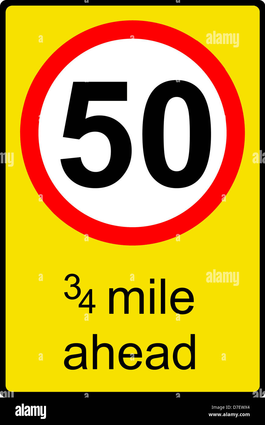 Temporary speed limit ahead sign Stock Photohttps://www.alamy.com/image-license-details/?v=1https://www.alamy.com/stock-photo-temporary-speed-limit-ahead-sign-56261356.html
RFD7EWX4–Temporary speed limit ahead sign
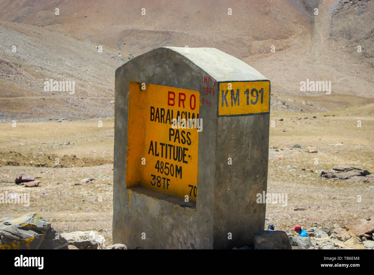 Ladakh, Jammu and Kashmir, India: Dated- May 3, 2019: A milestone at Baralacha Pass in Zanskar Range in Lahaul District of Himachal Pradesh enroute La Stock Photohttps://www.alamy.com/image-license-details/?v=1https://www.alamy.com/ladakh-jammu-and-kashmir-india-dated-may-3-2019-a-milestone-at-baralacha-pass-in-zanskar-range-in-lahaul-district-of-himachal-pradesh-enroute-la-image247849624.html
RFTB6EM8–Ladakh, Jammu and Kashmir, India: Dated- May 3, 2019: A milestone at Baralacha Pass in Zanskar Range in Lahaul District of Himachal Pradesh enroute La
 Ed Gormel (left), executive director of Spaceport Florida Authority, and Roy Bridges Jr., Center Director, get ready to sign a SERPL Real Property Use Permit Agreement between the two organizations to construct a three-mile roadway. It is the start of a construction project that includes the Space Experiment Research and Processing Laboratory (SERPL). The signing took place outdoors on S.R. 3 prior to a groundbreaking ceremony for the roadway. The road, to be known as Space Commerce Way, will serve the public by providing a 24-hour access route through KSC from S.R. 3 to the NASA Causeway and Stock Photohttps://www.alamy.com/image-license-details/?v=1https://www.alamy.com/ed-gormel-left-executive-director-of-spaceport-florida-authority-and-roy-bridges-jr-center-director-get-ready-to-sign-a-serpl-real-property-use-permit-agreement-between-the-two-organizations-to-construct-a-three-mile-roadway-it-is-the-start-of-a-construction-project-that-includes-the-space-experiment-research-and-processing-laboratory-serpl-the-signing-took-place-outdoors-on-sr-3-prior-to-a-groundbreaking-ceremony-for-the-roadway-the-road-to-be-known-as-space-commerce-way-will-serve-the-public-by-providing-a-24-hour-access-route-through-ksc-from-sr-3-to-the-nasa-causeway-and-image592364100.html
RM2WBMECM–Ed Gormel (left), executive director of Spaceport Florida Authority, and Roy Bridges Jr., Center Director, get ready to sign a SERPL Real Property Use Permit Agreement between the two organizations to construct a three-mile roadway. It is the start of a construction project that includes the Space Experiment Research and Processing Laboratory (SERPL). The signing took place outdoors on S.R. 3 prior to a groundbreaking ceremony for the roadway. The road, to be known as Space Commerce Way, will serve the public by providing a 24-hour access route through KSC from S.R. 3 to the NASA Causeway and
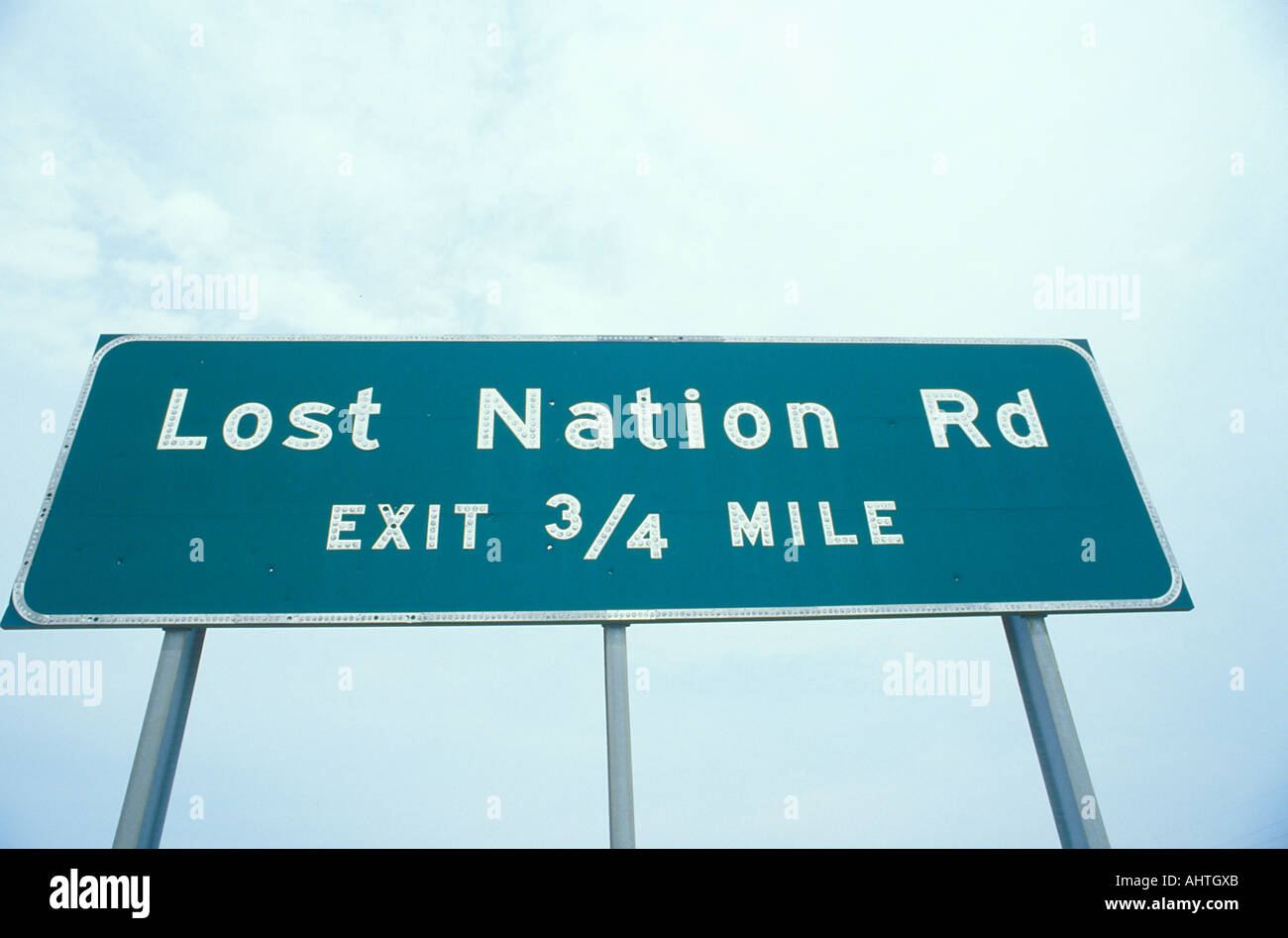 A sign that reads Lost Nation Rd Exit 3 4 mile Stock Photohttps://www.alamy.com/image-license-details/?v=1https://www.alamy.com/a-sign-that-reads-lost-nation-rd-exit-3-4-mile-image8310954.html
RFAHTGXB–A sign that reads Lost Nation Rd Exit 3 4 mile
 The Wheel and cycling trade review . We keep straight on over two bridges andturn to the left as the road forks over a good,level valley road. This is part of the old stageline from Burlington northward to Burlingtonand St. Albans, and several old mossy, time-stained mile stones are still to be seen on theright of the road. We bear to the left at thefork where sign reads Shaftsbury, 3 miles,cross tracks and run along under the hillsideover a poor bit of road to Shaftsbury station(4 miles—235 miles). Now over the tracks and up a long hillthrough to farm lands, then down through. a small settlem Stock Photohttps://www.alamy.com/image-license-details/?v=1https://www.alamy.com/the-wheel-and-cycling-trade-review-we-keep-straight-on-over-two-bridges-andturn-to-the-left-as-the-road-forks-over-a-goodlevel-valley-road-this-is-part-of-the-old-stageline-from-burlington-northward-to-burlingtonand-st-albans-and-several-old-mossy-time-stained-mile-stones-are-still-to-be-seen-on-theright-of-the-road-we-bear-to-the-left-at-thefork-where-sign-reads-shaftsbury-3-milescross-tracks-and-run-along-under-the-hillsideover-a-poor-bit-of-road-to-shaftsbury-station4-miles235-miles-now-over-the-tracks-and-up-a-long-hillthrough-to-farm-lands-then-down-through-a-small-settlem-image343159109.html
RM2AX86XD–The Wheel and cycling trade review . We keep straight on over two bridges andturn to the left as the road forks over a good,level valley road. This is part of the old stageline from Burlington northward to Burlingtonand St. Albans, and several old mossy, time-stained mile stones are still to be seen on theright of the road. We bear to the left at thefork where sign reads Shaftsbury, 3 miles,cross tracks and run along under the hillsideover a poor bit of road to Shaftsbury station(4 miles—235 miles). Now over the tracks and up a long hillthrough to farm lands, then down through. a small settlem
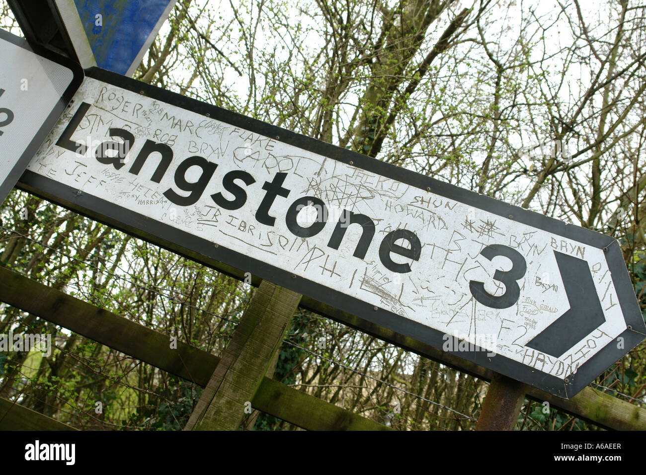 Magor near Newport South Wales GB UK 2007 Stock Photohttps://www.alamy.com/image-license-details/?v=1https://www.alamy.com/stock-photo-magor-near-newport-south-wales-gb-uk-2007-11513998.html
RFA6AEER–Magor near Newport South Wales GB UK 2007
 United States MUTCD road sign - Distance road marker. Stock Photohttps://www.alamy.com/image-license-details/?v=1https://www.alamy.com/stock-photo-united-states-mutcd-road-sign-distance-road-marker-135059684.html
RFHRME04–United States MUTCD road sign - Distance road marker.
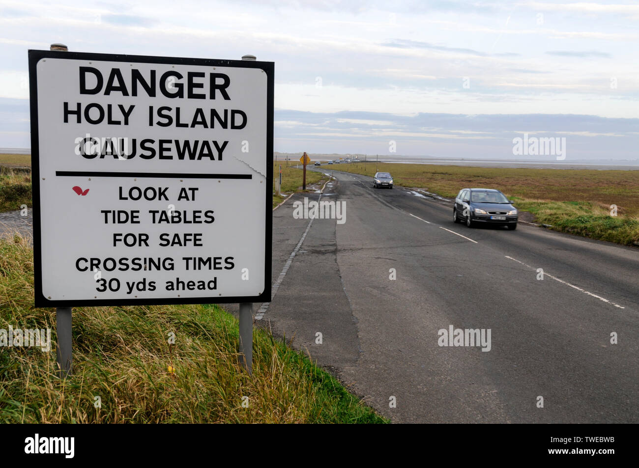 A road warning sign for visiting traffic crossing the 3 mile stretch of a narrow two way tarmac causeway at low tide connecting Lindistfarne Holy Isla Stock Photohttps://www.alamy.com/image-license-details/?v=1https://www.alamy.com/a-road-warning-sign-for-visiting-traffic-crossing-the-3-mile-stretch-of-a-narrow-two-way-tarmac-causeway-at-low-tide-connecting-lindistfarne-holy-isla-image256628215.html
RMTWEBWB–A road warning sign for visiting traffic crossing the 3 mile stretch of a narrow two way tarmac causeway at low tide connecting Lindistfarne Holy Isla
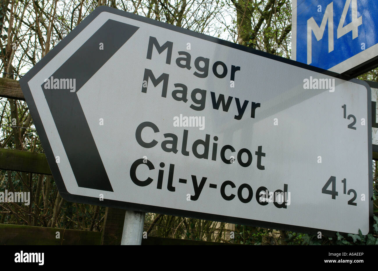 Magor near Newport South Wales GB UK 2007 Stock Photohttps://www.alamy.com/image-license-details/?v=1https://www.alamy.com/stock-photo-magor-near-newport-south-wales-gb-uk-2007-11513997.html
RFA6AEEP–Magor near Newport South Wales GB UK 2007
 United States MUTCD road sign - Sponsor Sign. Stock Photohttps://www.alamy.com/image-license-details/?v=1https://www.alamy.com/stock-photo-united-states-mutcd-road-sign-sponsor-sign-135059877.html
RFHRME71–United States MUTCD road sign - Sponsor Sign.
 Traffic crossing at low tide along the 3-mile Lindisfarne causeway on Lindisfarne Holy Island, a tidal island in Northumberland, Britain. The small ti Stock Photohttps://www.alamy.com/image-license-details/?v=1https://www.alamy.com/traffic-crossing-at-low-tide-along-the-3-mile-lindisfarne-causeway-on-lindisfarne-holy-island-a-tidal-island-in-northumberland-britain-the-small-ti-image256628058.html
RMTWEBKP–Traffic crossing at low tide along the 3-mile Lindisfarne causeway on Lindisfarne Holy Island, a tidal island in Northumberland, Britain. The small ti
 Magor near Newport South Wales GB UK 2007 Stock Photohttps://www.alamy.com/image-license-details/?v=1https://www.alamy.com/stock-photo-magor-near-newport-south-wales-gb-uk-2007-11513996.html
RFA6AEEN–Magor near Newport South Wales GB UK 2007
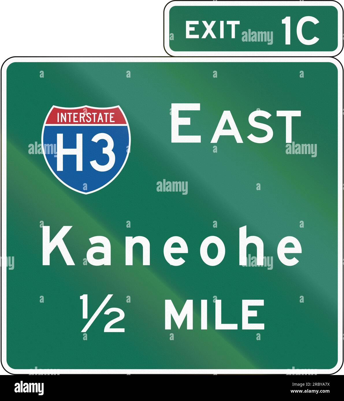 United States Interchange Advance Guide Signs, Hawaii Stock Photohttps://www.alamy.com/image-license-details/?v=1https://www.alamy.com/united-states-interchange-advance-guide-signs-hawaii-image558093758.html
RF2RBYA7X–United States Interchange Advance Guide Signs, Hawaii
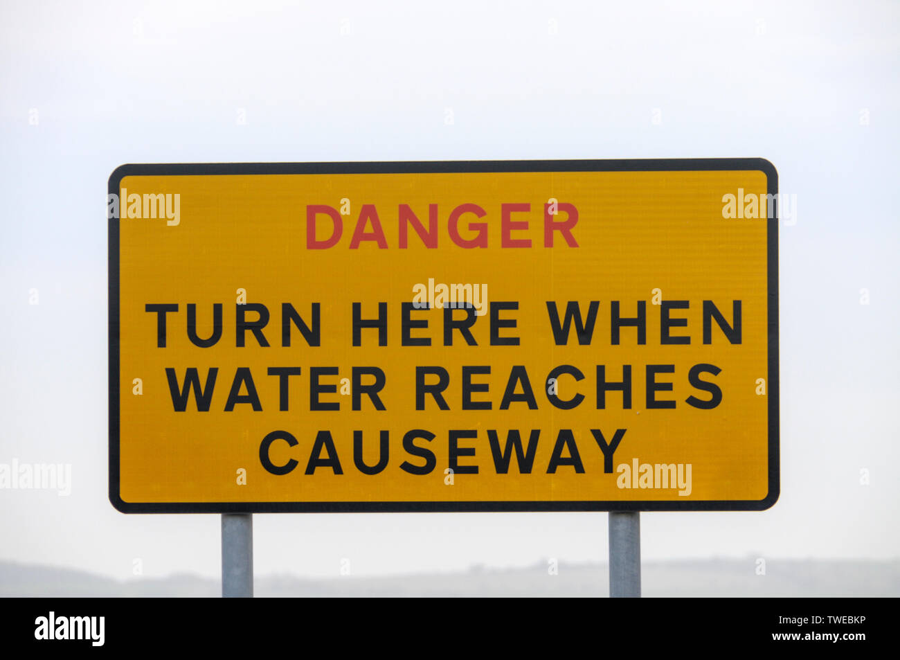
 The Danger warning sign for tourist traffic crossing the 3-mile stretch of tarmac road at low tide connecting Lindisfarne Holy Island from the mainland Stock Photohttps://www.alamy.com/image-license-details/?v=1https://www.alamy.com/the-danger-warning-sign-for-tourist-traffic-crossing-the-3-mile-stretch-of-tarmac-road-at-low-tide-connecting-lindisfarne-holy-island-from-the-mainland-image256628144.html
RMTWEBPT–The Danger warning sign for tourist traffic crossing the 3-mile stretch of tarmac road at low tide connecting Lindisfarne Holy Island from the mainland
