Stock Photos and Images
(2,029)Stock Photos and Images
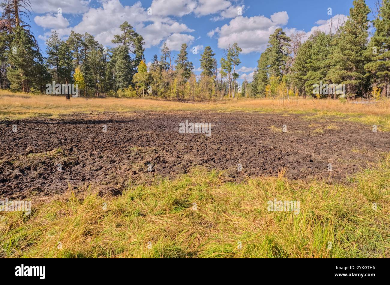 Greenland Lake at Grand Canyon North Rim Arizona, now reduced to a mud hole. This lake is actually a sinkhole that periodically dries out and refills Stock Photohttps://www.alamy.com/image-license-details/?v=1https://www.alamy.com/greenland-lake-at-grand-canyon-north-rim-arizona-now-reduced-to-a-mud-hole-this-lake-is-actually-a-sinkhole-that-periodically-dries-out-and-refills-image631622242.html
RF2YKGTH6–Greenland Lake at Grand Canyon North Rim Arizona, now reduced to a mud hole. This lake is actually a sinkhole that periodically dries out and refills
 The 24th switchback along the North Kaibab Trail at Grand Canyon North Rim Arizona. Stock Photohttps://www.alamy.com/image-license-details/?v=1https://www.alamy.com/the-24th-switchback-along-the-north-kaibab-trail-at-grand-canyon-north-rim-arizona-image631623679.html
RF2YKGXCF–The 24th switchback along the North Kaibab Trail at Grand Canyon North Rim Arizona.
 A fantasy photo-manipulation depicting a female Demon waiting for a condemned man to arrive in her hellish domain. The model used for this manipulatio Stock Photohttps://www.alamy.com/image-license-details/?v=1https://www.alamy.com/a-fantasy-photo-manipulation-depicting-a-female-demon-waiting-for-a-condemned-man-to-arrive-in-her-hellish-domain-the-model-used-for-this-manipulatio-image608633275.html
RF2XA5HXK–A fantasy photo-manipulation depicting a female Demon waiting for a condemned man to arrive in her hellish domain. The model used for this manipulatio
 Originally created in 2012, a fantasy digital painting depicting a reptilian girl having fun in a swimming pool with her pet lizard. Girl is fictional Stock Photohttps://www.alamy.com/image-license-details/?v=1https://www.alamy.com/originally-created-in-2012-a-fantasy-digital-painting-depicting-a-reptilian-girl-having-fun-in-a-swimming-pool-with-her-pet-lizard-girl-is-fictional-image608633374.html
RF2XA5J26–Originally created in 2012, a fantasy digital painting depicting a reptilian girl having fun in a swimming pool with her pet lizard. Girl is fictional
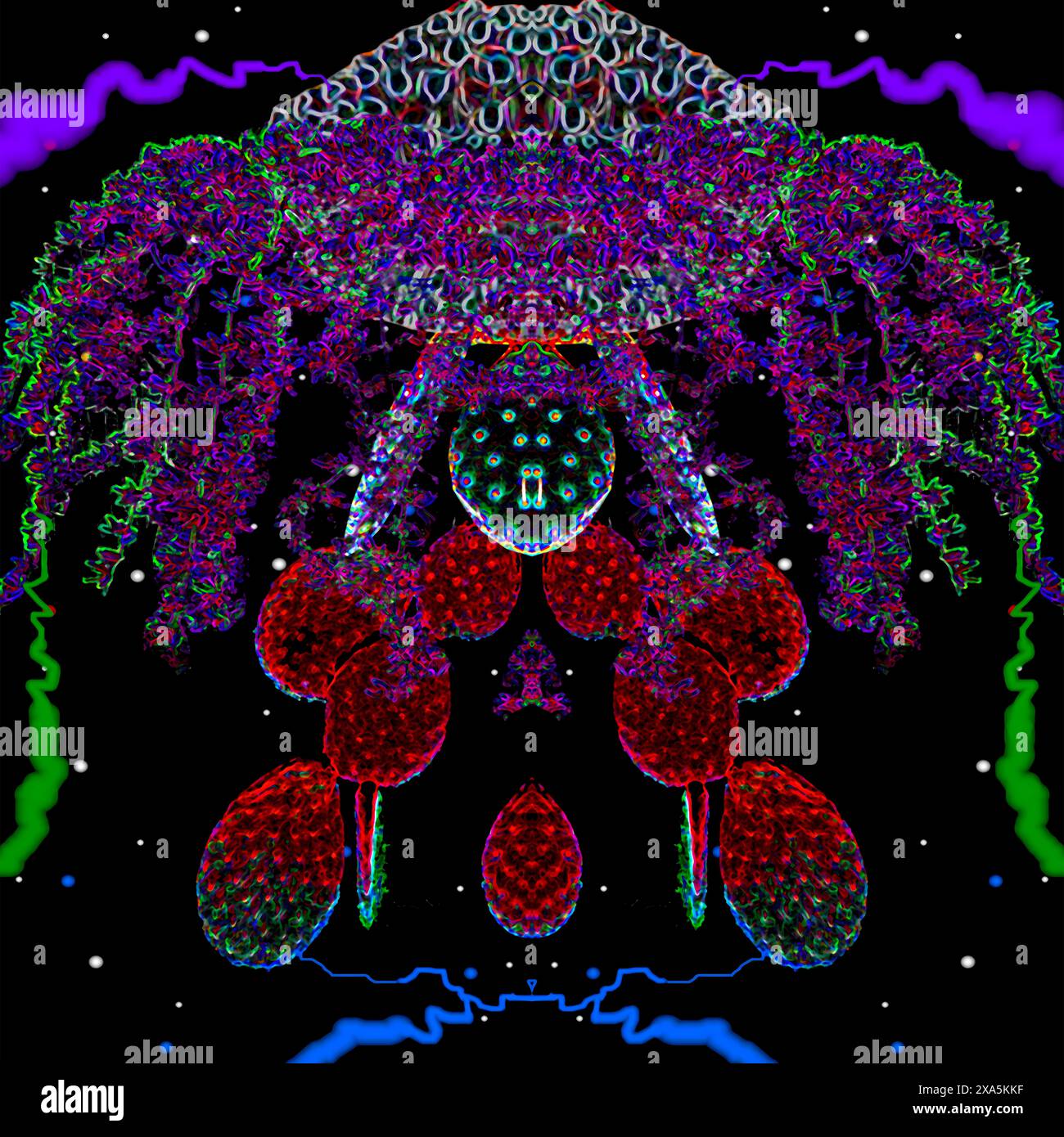 Originally created in 2005. Graphic illustration design depicting a Space Jellyfish. Not AI generated. Stock Photohttps://www.alamy.com/image-license-details/?v=1https://www.alamy.com/originally-created-in-2005-graphic-illustration-design-depicting-a-space-jellyfish-not-ai-generated-image608634643.html
RF2XA5KKF–Originally created in 2005. Graphic illustration design depicting a Space Jellyfish. Not AI generated.
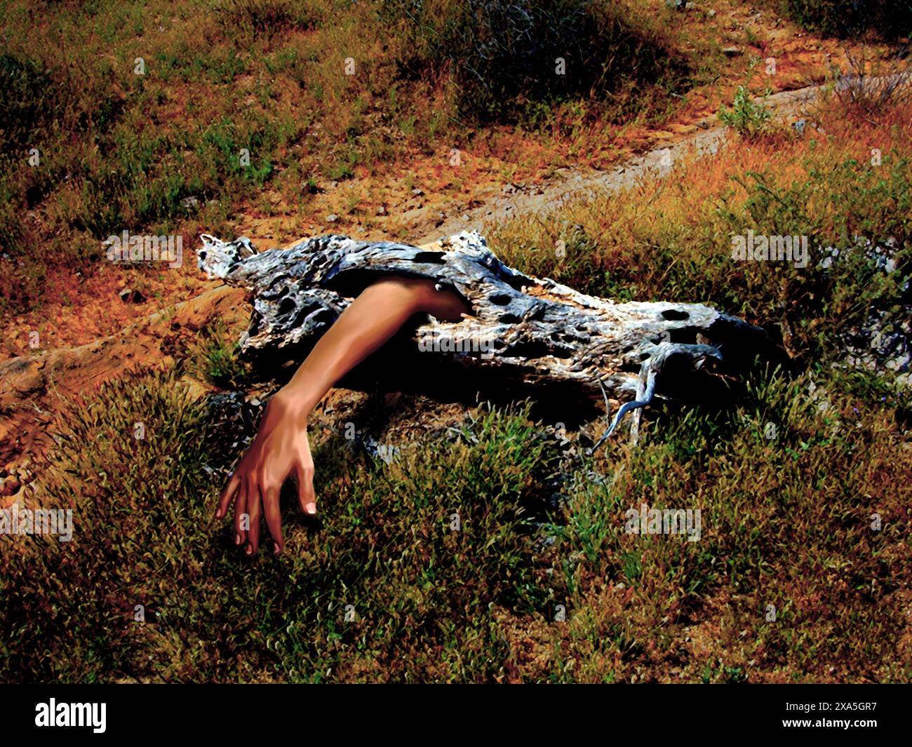 Originally created in 2005, a photo manipulation depicting an earthy tree monster devouring a human arm. NOT AI generated. Stock Photohttps://www.alamy.com/image-license-details/?v=1https://www.alamy.com/originally-created-in-2005-a-photo-manipulation-depicting-an-earthy-tree-monster-devouring-a-human-arm-not-ai-generated-image608632395.html
RF2XA5GR7–Originally created in 2005, a photo manipulation depicting an earthy tree monster devouring a human arm. NOT AI generated.
 Digital painting, originally created in 2007, depicting a Goddess that Praying Mantis might actually pray to. Insects depicted are from photos I own. Stock Photohttps://www.alamy.com/image-license-details/?v=1https://www.alamy.com/digital-painting-originally-created-in-2007-depicting-a-goddess-that-praying-mantis-might-actually-pray-to-insects-depicted-are-from-photos-i-own-image608632275.html
RF2XA5GJY–Digital painting, originally created in 2007, depicting a Goddess that Praying Mantis might actually pray to. Insects depicted are from photos I own.
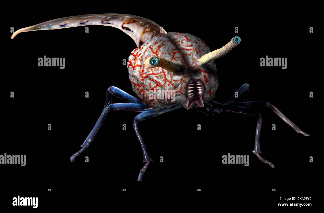 A brain eating creature inspired by an old Sci-Fi movie from the 1950s. Digitally painted in 2007 with black background. NOT AI generated. Stock Photohttps://www.alamy.com/image-license-details/?v=1https://www.alamy.com/a-brain-eating-creature-inspired-by-an-old-sci-fi-movie-from-the-1950s-digitally-painted-in-2007-with-black-background-not-ai-generated-image608631716.html
RF2XA5FY0–A brain eating creature inspired by an old Sci-Fi movie from the 1950s. Digitally painted in 2007 with black background. NOT AI generated.
 Metaphorical digital painting created in 2007 depicting a man's brain being washed under a kitchen faucet. I used myself as the model. NOT AI generate Stock Photohttps://www.alamy.com/image-license-details/?v=1https://www.alamy.com/metaphorical-digital-painting-created-in-2007-depicting-a-mans-brain-being-washed-under-a-kitchen-faucet-i-used-myself-as-the-model-not-ai-generate-image608631778.html
RF2XA5G16–Metaphorical digital painting created in 2007 depicting a man's brain being washed under a kitchen faucet. I used myself as the model. NOT AI generate
 Sci-Fi depiction of a monstrous celestial being about to swallow the Earth. Monster is digitally painted. The Image of the Earth and the galaxy in the Stock Photohttps://www.alamy.com/image-license-details/?v=1https://www.alamy.com/sci-fi-depiction-of-a-monstrous-celestial-being-about-to-swallow-the-earth-monster-is-digitally-painted-the-image-of-the-earth-and-the-galaxy-in-the-image607240212.html
RF2X7X52C–Sci-Fi depiction of a monstrous celestial being about to swallow the Earth. Monster is digitally painted. The Image of the Earth and the galaxy in the
 Billings Gap Overlook on Blue Mesa in Petrified Forest National Park Arizona near sunset. Stock Photohttps://www.alamy.com/image-license-details/?v=1https://www.alamy.com/billings-gap-overlook-on-blue-mesa-in-petrified-forest-national-park-arizona-near-sunset-image607242463.html
RF2X7X7XR–Billings Gap Overlook on Blue Mesa in Petrified Forest National Park Arizona near sunset.
 The Billings Gap Overlook on the east side of Blue Mesa in Petrified Forest National Park Arizona. Stock Photohttps://www.alamy.com/image-license-details/?v=1https://www.alamy.com/the-billings-gap-overlook-on-the-east-side-of-blue-mesa-in-petrified-forest-national-park-arizona-image607241357.html
RF2X7X6F9–The Billings Gap Overlook on the east side of Blue Mesa in Petrified Forest National Park Arizona.
 View from below the north cliffs of Blue Mesa in Petrified Forest National Park Arizona. Stock Photohttps://www.alamy.com/image-license-details/?v=1https://www.alamy.com/view-from-below-the-north-cliffs-of-blue-mesa-in-petrified-forest-national-park-arizona-image607241868.html
RF2X7X75G–View from below the north cliffs of Blue Mesa in Petrified Forest National Park Arizona.
 The northeast cliffs of the Billings Gap Overlook viewed from below Blue Mesa in Petrified Forest National Park Arizona. Stock Photohttps://www.alamy.com/image-license-details/?v=1https://www.alamy.com/the-northeast-cliffs-of-the-billings-gap-overlook-viewed-from-below-blue-mesa-in-petrified-forest-national-park-arizona-image607241460.html
RF2X7X6K0–The northeast cliffs of the Billings Gap Overlook viewed from below Blue Mesa in Petrified Forest National Park Arizona.
 North East Branch of Haystack Mesa in Petrified Forest National Park Arizona. Stock Photohttps://www.alamy.com/image-license-details/?v=1https://www.alamy.com/north-east-branch-of-haystack-mesa-in-petrified-forest-national-park-arizona-image607244749.html
RF2X7XATD–North East Branch of Haystack Mesa in Petrified Forest National Park Arizona.
 A small cave in a cliff in Goblin Garden west of Hamilili Point in Petrified Forest National Park Arizona. Stock Photohttps://www.alamy.com/image-license-details/?v=1https://www.alamy.com/a-small-cave-in-a-cliff-in-goblin-garden-west-of-hamilili-point-in-petrified-forest-national-park-arizona-image607244055.html
RF2X7X9YK–A small cave in a cliff in Goblin Garden west of Hamilili Point in Petrified Forest National Park Arizona.
 Anvil Hill on the right, Crystal Butte in the center, and Crystal Mesa on the left west of Hamilili Point in Petrified Forest National Park Arizona. Stock Photohttps://www.alamy.com/image-license-details/?v=1https://www.alamy.com/anvil-hill-on-the-right-crystal-butte-in-the-center-and-crystal-mesa-on-the-left-west-of-hamilili-point-in-petrified-forest-national-park-arizona-image607243254.html
RF2X7X8Y2–Anvil Hill on the right, Crystal Butte in the center, and Crystal Mesa on the left west of Hamilili Point in Petrified Forest National Park Arizona.
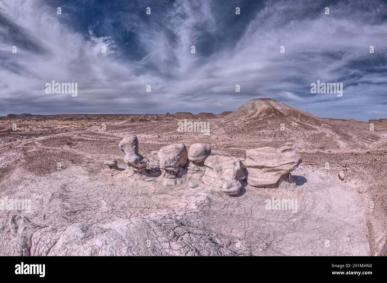 Soft sandstone that has been sculpted by high winds in Petrified Forest National Park Arizona. Stock Photohttps://www.alamy.com/image-license-details/?v=1https://www.alamy.com/soft-sandstone-that-has-been-sculpted-by-high-winds-in-petrified-forest-national-park-arizona-image603430492.html
RF2X1MHN0–Soft sandstone that has been sculpted by high winds in Petrified Forest National Park Arizona.
 Sandstone that has been eroded into forms that resemble clam shells on the south end of Petrified Forest National Park Arizona. Stock Photohttps://www.alamy.com/image-license-details/?v=1https://www.alamy.com/sandstone-that-has-been-eroded-into-forms-that-resemble-clam-shells-on-the-south-end-of-petrified-forest-national-park-arizona-image603431416.html
RF2X1MJX0–Sandstone that has been eroded into forms that resemble clam shells on the south end of Petrified Forest National Park Arizona.
 A rock island just off a mesa near Hamilili Point on the south end of Petrified Forest National Park Arizona. Stock Photohttps://www.alamy.com/image-license-details/?v=1https://www.alamy.com/a-rock-island-just-off-a-mesa-near-hamilili-point-on-the-south-end-of-petrified-forest-national-park-arizona-image601236432.html
RF2WX4K5M–A rock island just off a mesa near Hamilili Point on the south end of Petrified Forest National Park Arizona.
 A solitary rock hoodoo in the purple badlands near Hamilili Point on the south end of Petrified Forest National Park Arizona. Stock Photohttps://www.alamy.com/image-license-details/?v=1https://www.alamy.com/a-solitary-rock-hoodoo-in-the-purple-badlands-near-hamilili-point-on-the-south-end-of-petrified-forest-national-park-arizona-image601236772.html
RF2WX4KHT–A solitary rock hoodoo in the purple badlands near Hamilili Point on the south end of Petrified Forest National Park Arizona.
 Very large fossilized tree log along the Long Logs Trail in Petrified Forest National Park Arizona. Stock Photohttps://www.alamy.com/image-license-details/?v=1https://www.alamy.com/very-large-fossilized-tree-log-along-the-long-logs-trail-in-petrified-forest-national-park-arizona-image601237159.html
RF2WX4M3K–Very large fossilized tree log along the Long Logs Trail in Petrified Forest National Park Arizona.
 A dry waterfall near Hamilili Point on the south end of Petrified Forest National Park Arizona. Stock Photohttps://www.alamy.com/image-license-details/?v=1https://www.alamy.com/a-dry-waterfall-near-hamilili-point-on-the-south-end-of-petrified-forest-national-park-arizona-image607242686.html
RF2X7X86P–A dry waterfall near Hamilili Point on the south end of Petrified Forest National Park Arizona.
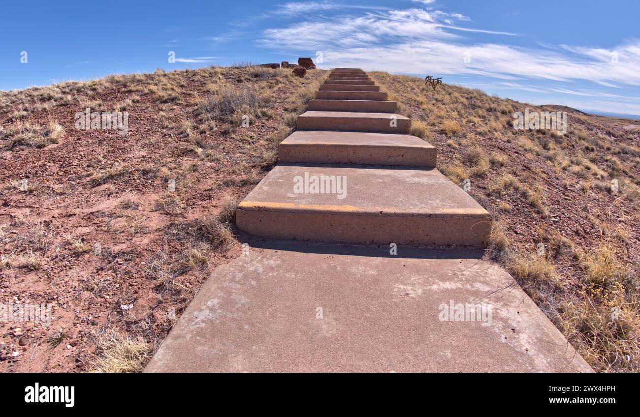 Steps along the Giant Logs Trail leading to a scenic overlook in Petrified Forest National Park Arizona. Stock Photohttps://www.alamy.com/image-license-details/?v=1https://www.alamy.com/steps-along-the-giant-logs-trail-leading-to-a-scenic-overlook-in-petrified-forest-national-park-arizona-image601235337.html
RF2WX4HPH–Steps along the Giant Logs Trail leading to a scenic overlook in Petrified Forest National Park Arizona.
 The cliffs of Waldron Canyon at Grand Canyon Arizona, southwest of Hermit Canyon in winter. Stock Photohttps://www.alamy.com/image-license-details/?v=1https://www.alamy.com/the-cliffs-of-waldron-canyon-at-grand-canyon-arizona-southwest-of-hermit-canyon-in-winter-image598900927.html
RF2WPA86R–The cliffs of Waldron Canyon at Grand Canyon Arizona, southwest of Hermit Canyon in winter.
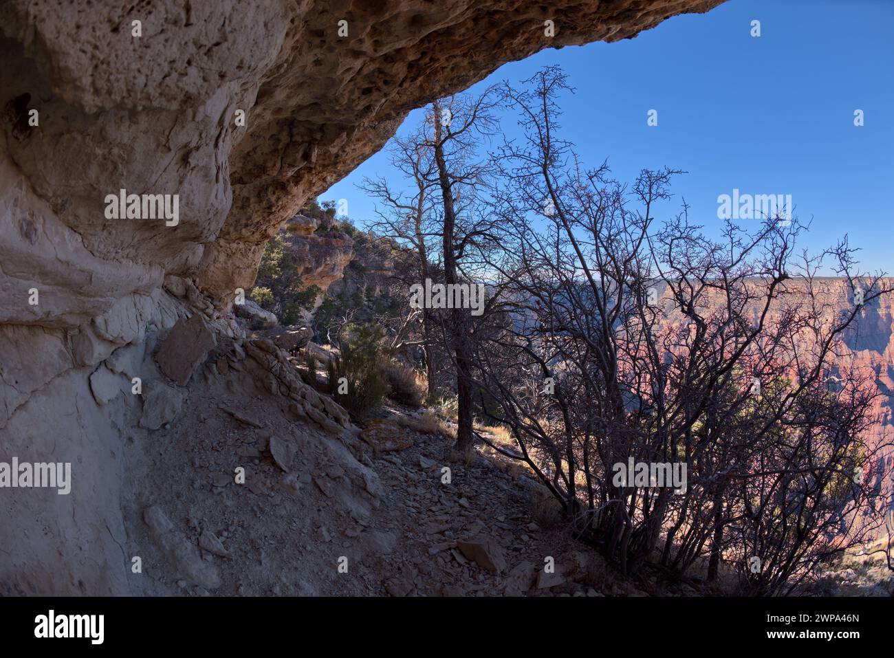 The sheer cliffs between Pima Point and Hermits Rest at Grand Canyon Arizona. Stock Photohttps://www.alamy.com/image-license-details/?v=1https://www.alamy.com/the-sheer-cliffs-between-pima-point-and-hermits-rest-at-grand-canyon-arizona-image598897789.html
RF2WPA46N–The sheer cliffs between Pima Point and Hermits Rest at Grand Canyon Arizona.
 Grand Canyon Arizona viewed from Pima Point at sundown. Stock Photohttps://www.alamy.com/image-license-details/?v=1https://www.alamy.com/grand-canyon-arizona-viewed-from-pima-point-at-sundown-image598899319.html
RF2WPA65B–Grand Canyon Arizona viewed from Pima Point at sundown.
 A female Elk that came out of the forest along the Greenway Trail that runs between Pima Point and Monument Creek Vista at Grand Canyon Arizona. Stock Photohttps://www.alamy.com/image-license-details/?v=1https://www.alamy.com/a-female-elk-that-came-out-of-the-forest-along-the-greenway-trail-that-runs-between-pima-point-and-monument-creek-vista-at-grand-canyon-arizona-image598899122.html
RF2WPA5XA–A female Elk that came out of the forest along the Greenway Trail that runs between Pima Point and Monument Creek Vista at Grand Canyon Arizona.
 A stone hoodoo and wavy sandstone at Ferry Swale in the Glen Canyon Recreation Area near Page Arizona. Stock Photohttps://www.alamy.com/image-license-details/?v=1https://www.alamy.com/a-stone-hoodoo-and-wavy-sandstone-at-ferry-swale-in-the-glen-canyon-recreation-area-near-page-arizona-image594277828.html
RF2WERKC4–A stone hoodoo and wavy sandstone at Ferry Swale in the Glen Canyon Recreation Area near Page Arizona.
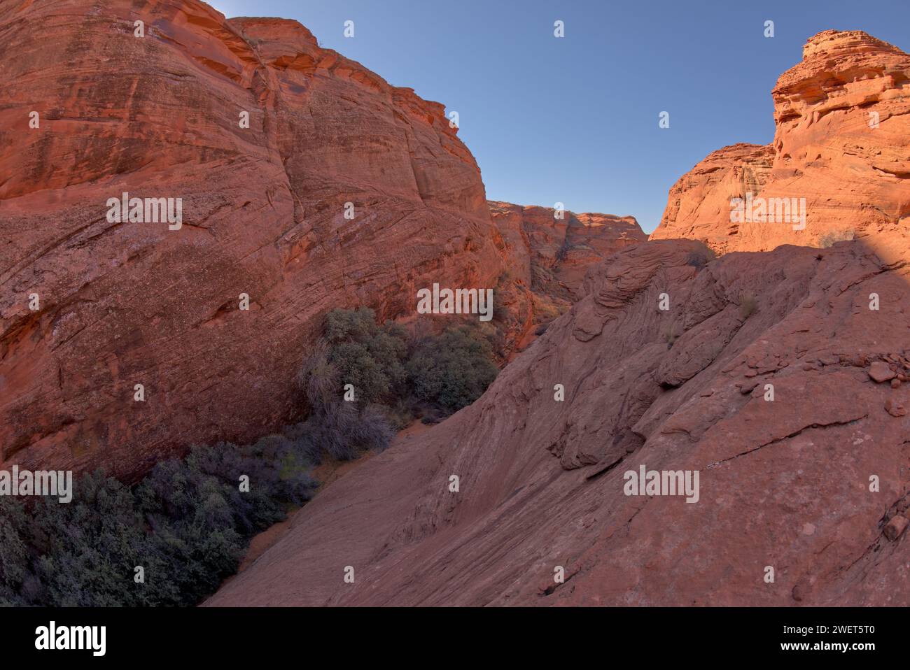 A narrowing of the spur canyon just north of the main overlook of Horseshoe Bend Arizona. Stock Photohttps://www.alamy.com/image-license-details/?v=1https://www.alamy.com/a-narrowing-of-the-spur-canyon-just-north-of-the-main-overlook-of-horseshoe-bend-arizona-image594289136.html
RF2WET5T0–A narrowing of the spur canyon just north of the main overlook of Horseshoe Bend Arizona.
 Three hoodoo formations along the path into the Spur Canyon north of Horseshoe Bend near Page Arizona. Stock Photohttps://www.alamy.com/image-license-details/?v=1https://www.alamy.com/three-hoodoo-formations-along-the-path-into-the-spur-canyon-north-of-horseshoe-bend-near-page-arizona-image594278667.html
RF2WERME3–Three hoodoo formations along the path into the Spur Canyon north of Horseshoe Bend near Page Arizona.
 A bend in the Colorado River between Horseshoe Bend and Glen Canyon Dam in Page Arizona. Stock Photohttps://www.alamy.com/image-license-details/?v=1https://www.alamy.com/a-bend-in-the-colorado-river-between-horseshoe-bend-and-glen-canyon-dam-in-page-arizona-image594278132.html
RF2WERKR0–A bend in the Colorado River between Horseshoe Bend and Glen Canyon Dam in Page Arizona.
 A wavy sandstone formation north of the Horseshoe Bend Overlook along the Colorado River in Page Arizona. Stock Photohttps://www.alamy.com/image-license-details/?v=1https://www.alamy.com/a-wavy-sandstone-formation-north-of-the-horseshoe-bend-overlook-along-the-colorado-river-in-page-arizona-image594278383.html
RF2WERM3Y–A wavy sandstone formation north of the Horseshoe Bend Overlook along the Colorado River in Page Arizona.
 Hoodoo formations along the path into the Spur Canyon north of Horseshoe Bend near Page Arizona. Stock Photohttps://www.alamy.com/image-license-details/?v=1https://www.alamy.com/hoodoo-formations-along-the-path-into-the-spur-canyon-north-of-horseshoe-bend-near-page-arizona-image594278872.html
RF2WERMNC–Hoodoo formations along the path into the Spur Canyon north of Horseshoe Bend near Page Arizona.
 The west rock ridge of the New Wave along the Beehive Trail in the Glen Canyon Recreation Area near Page Arizona. Stock Photohttps://www.alamy.com/image-license-details/?v=1https://www.alamy.com/the-west-rock-ridge-of-the-new-wave-along-the-beehive-trail-in-the-glen-canyon-recreation-area-near-page-arizona-image573749940.html
RF2T9CFW8–The west rock ridge of the New Wave along the Beehive Trail in the Glen Canyon Recreation Area near Page Arizona.
 An HDR composite photo of the Milky Way with the purplish glow of the Aurora Borealis viewed from Shoshone Point at Grand Canyon South Rim. The effect Stock Photohttps://www.alamy.com/image-license-details/?v=1https://www.alamy.com/an-hdr-composite-photo-of-the-milky-way-with-the-purplish-glow-of-the-aurora-borealis-viewed-from-shoshone-point-at-grand-canyon-south-rim-the-effect-image573748743.html
RF2T9CEAF–An HDR composite photo of the Milky Way with the purplish glow of the Aurora Borealis viewed from Shoshone Point at Grand Canyon South Rim. The effect
 A rock pillar off the cliffs of Grandview Point with an eye shaped hole at Grand Canyon South Rim Arizona. Stock Photohttps://www.alamy.com/image-license-details/?v=1https://www.alamy.com/a-rock-pillar-off-the-cliffs-of-grandview-point-with-an-eye-shaped-hole-at-grand-canyon-south-rim-arizona-image568710594.html
RF2T1704J–A rock pillar off the cliffs of Grandview Point with an eye shaped hole at Grand Canyon South Rim Arizona.
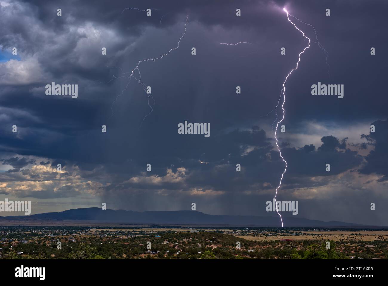 Lightning storm over Chino Valley Arizona during the 2023 Monsoon season. In the background is Mingus Mountain. This lightning strike was captured wit Stock Photohttps://www.alamy.com/image-license-details/?v=1https://www.alamy.com/lightning-storm-over-chino-valley-arizona-during-the-2023-monsoon-season-in-the-background-is-mingus-mountain-this-lightning-strike-was-captured-wit-image568709545.html
RF2T16XR5–Lightning storm over Chino Valley Arizona during the 2023 Monsoon season. In the background is Mingus Mountain. This lightning strike was captured wit
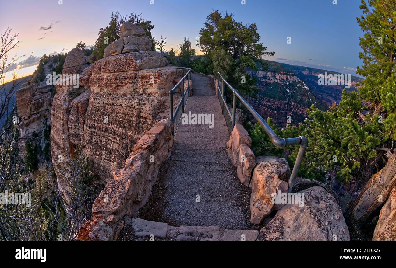 Bright Angel Point Bridge on Grand Canyon North Rim Arizona at twilight. Stock Photohttps://www.alamy.com/image-license-details/?v=1https://www.alamy.com/bright-angel-point-bridge-on-grand-canyon-north-rim-arizona-at-twilight-image568709651.html
RF2T16XXY–Bright Angel Point Bridge on Grand Canyon North Rim Arizona at twilight.
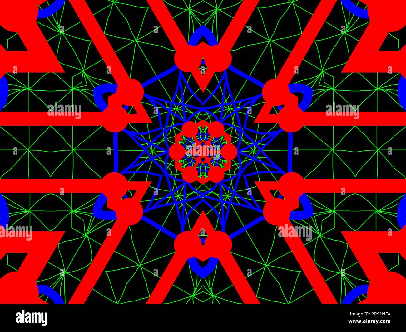 An abstract design depicting the concept of Quantum Entanglement. Stock Photohttps://www.alamy.com/image-license-details/?v=1https://www.alamy.com/an-abstract-design-depicting-the-concept-of-quantum-entanglement-image556302526.html
RF2R91NFA–An abstract design depicting the concept of Quantum Entanglement.
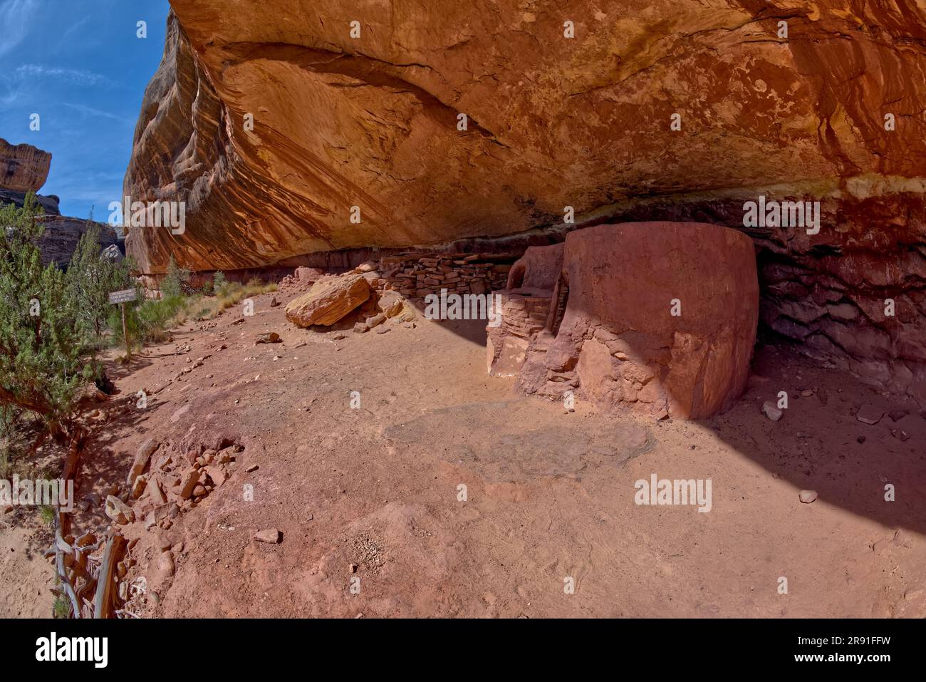 The Horse Collar Ruins located between the Sipapu Arch Bridge and the Kachina Arch Bridge at Natural Bridges National Monument Utah. Stock Photohttps://www.alamy.com/image-license-details/?v=1https://www.alamy.com/the-horse-collar-ruins-located-between-the-sipapu-arch-bridge-and-the-kachina-arch-bridge-at-natural-bridges-national-monument-utah-image556297837.html
RF2R91FFW–The Horse Collar Ruins located between the Sipapu Arch Bridge and the Kachina Arch Bridge at Natural Bridges National Monument Utah.
 The rock formation called Rooster Butte at Valley of the Gods. It is visible from the main road going thru the valley. Located northwest of Monument V Stock Photohttps://www.alamy.com/image-license-details/?v=1https://www.alamy.com/the-rock-formation-called-rooster-butte-at-valley-of-the-gods-it-is-visible-from-the-main-road-going-thru-the-valley-located-northwest-of-monument-v-image556302080.html
RF2R91MYC–The rock formation called Rooster Butte at Valley of the Gods. It is visible from the main road going thru the valley. Located northwest of Monument V
 The winding Utah road of Highway 261 up the Moki Dugway from Valley of the Gods below. Stock Photohttps://www.alamy.com/image-license-details/?v=1https://www.alamy.com/the-winding-utah-road-of-highway-261-up-the-moki-dugway-from-valley-of-the-gods-below-image556300782.html
RF2R91K92–The winding Utah road of Highway 261 up the Moki Dugway from Valley of the Gods below.
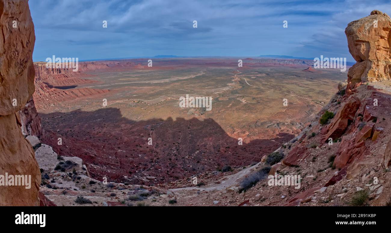 View of Valley of the Gods in Utah from the Moki Dugway, also called Utah State Route 261. Stock Photohttps://www.alamy.com/image-license-details/?v=1https://www.alamy.com/view-of-valley-of-the-gods-in-utah-from-the-moki-dugway-also-called-utah-state-route-261-image556300858.html
RF2R91KBP–View of Valley of the Gods in Utah from the Moki Dugway, also called Utah State Route 261.
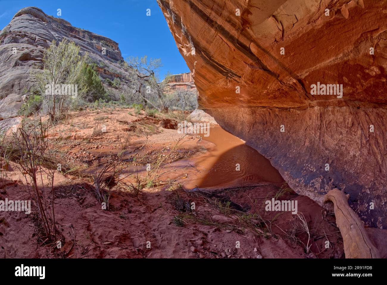 The muddy water of Deer Canyon Creek in Natural Bridges National Monument Utah. This is along the trail between Sipapu Bridge and the Horse Collar Rui Stock Photohttps://www.alamy.com/image-license-details/?v=1https://www.alamy.com/the-muddy-water-of-deer-canyon-creek-in-natural-bridges-national-monument-utah-this-is-along-the-trail-between-sipapu-bridge-and-the-horse-collar-rui-image556297767.html
RF2R91FDB–The muddy water of Deer Canyon Creek in Natural Bridges National Monument Utah. This is along the trail between Sipapu Bridge and the Horse Collar Rui
 The rock formation called Sitting Hen at Valley of the Gods. It is visible from the main road going thru the valley. Located northwest of Monument Val Stock Photohttps://www.alamy.com/image-license-details/?v=1https://www.alamy.com/the-rock-formation-called-sitting-hen-at-valley-of-the-gods-it-is-visible-from-the-main-road-going-thru-the-valley-located-northwest-of-monument-val-image556302278.html
RF2R91N6E–The rock formation called Sitting Hen at Valley of the Gods. It is visible from the main road going thru the valley. Located northwest of Monument Val
 Ancient Ruins near the Sipapu Bridge Overlook in Natural Bridges National Monument Utah. The word Sipapu is Hopi meaning Gateway of the Soul, so the r Stock Photohttps://www.alamy.com/image-license-details/?v=1https://www.alamy.com/ancient-ruins-near-the-sipapu-bridge-overlook-in-natural-bridges-national-monument-utah-the-word-sipapu-is-hopi-meaning-gateway-of-the-soul-so-the-r-image556297474.html
RF2R91F2X–Ancient Ruins near the Sipapu Bridge Overlook in Natural Bridges National Monument Utah. The word Sipapu is Hopi meaning Gateway of the Soul, so the r
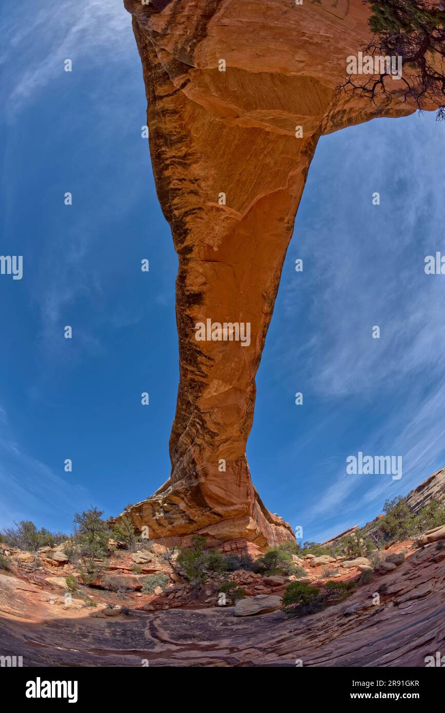 The Owachomo Bridge at Natural Bridges National Monument Utah. The name means Rock Mound in Hopi. Stock Photohttps://www.alamy.com/image-license-details/?v=1https://www.alamy.com/the-owachomo-bridge-at-natural-bridges-national-monument-utah-the-name-means-rock-mound-in-hopi-image556298731.html
RF2R91GKR–The Owachomo Bridge at Natural Bridges National Monument Utah. The name means Rock Mound in Hopi.
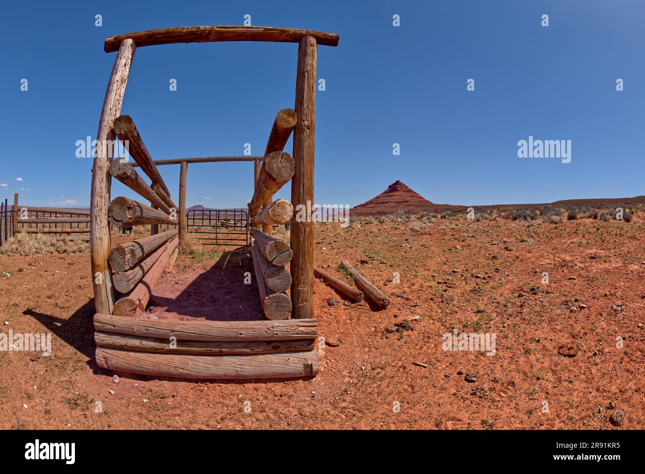 A cattle corral near Bell Butte in Valley of the Gods in Utah. Located northwest of Monument Valley and the town of Mexican Hat off of Highway 261 and Stock Photohttps://www.alamy.com/image-license-details/?v=1https://www.alamy.com/a-cattle-corral-near-bell-butte-in-valley-of-the-gods-in-utah-located-northwest-of-monument-valley-and-the-town-of-mexican-hat-off-of-highway-261-and-image556301177.html
RF2R91KR5–A cattle corral near Bell Butte in Valley of the Gods in Utah. Located northwest of Monument Valley and the town of Mexican Hat off of Highway 261 and
 View of Badger Canyon with the Vermilion Cliffs National Monument of Arizona in the background. This canyon joins the Colorado River. Stock Photohttps://www.alamy.com/image-license-details/?v=1https://www.alamy.com/view-of-badger-canyon-with-the-vermilion-cliffs-national-monument-of-arizona-in-the-background-this-canyon-joins-the-colorado-river-image550911378.html
RF2R0852A–View of Badger Canyon with the Vermilion Cliffs National Monument of Arizona in the background. This canyon joins the Colorado River.
 View from the backside of a slot canyon in the south fork of Soap Creek Canyon at Marble Canyon Arizona. Stock Photohttps://www.alamy.com/image-license-details/?v=1https://www.alamy.com/view-from-the-backside-of-a-slot-canyon-in-the-south-fork-of-soap-creek-canyon-at-marble-canyon-arizona-image550911104.html
RF2R084MG–View from the backside of a slot canyon in the south fork of Soap Creek Canyon at Marble Canyon Arizona.
 Banning Creek Waterfall below Lower Goldwater Lake at Goldwater Lakes Park in Prescott Arizona. Stock Photohttps://www.alamy.com/image-license-details/?v=1https://www.alamy.com/banning-creek-waterfall-below-lower-goldwater-lake-at-goldwater-lakes-park-in-prescott-arizona-image544607283.html
RF2PJ1043–Banning Creek Waterfall below Lower Goldwater Lake at Goldwater Lakes Park in Prescott Arizona.
 The Thumb Butte Recreation Area Parking Lot in the Prescott National Forest just west of Prescott Arizona, covered in winter snow and ice. Stock Photohttps://www.alamy.com/image-license-details/?v=1https://www.alamy.com/the-thumb-butte-recreation-area-parking-lot-in-the-prescott-national-forest-just-west-of-prescott-arizona-covered-in-winter-snow-and-ice-image542339598.html
RF2PE9KKA–The Thumb Butte Recreation Area Parking Lot in the Prescott National Forest just west of Prescott Arizona, covered in winter snow and ice.
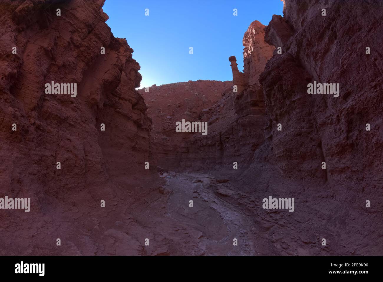 The narrows of Cathedral Canyon that follows Cathedral Wash toward the Vermilion Cliffs in Glen Canyon Recreation Area at Marble Canyon Arizona. Stock Photohttps://www.alamy.com/image-license-details/?v=1https://www.alamy.com/the-narrows-of-cathedral-canyon-that-follows-cathedral-wash-toward-the-vermilion-cliffs-in-glen-canyon-recreation-area-at-marble-canyon-arizona-image542339308.html
RF2PE9K90–The narrows of Cathedral Canyon that follows Cathedral Wash toward the Vermilion Cliffs in Glen Canyon Recreation Area at Marble Canyon Arizona.
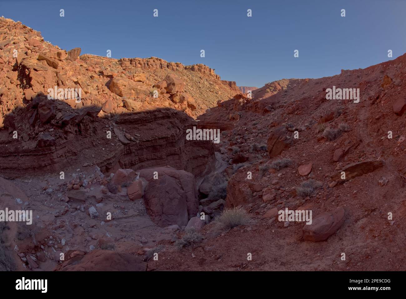 Narrow slot canyon, filled with giant boulders, that leads to the dry waterfall pit below Johnson Point which is below the Vermilion Cliffs at Marble Stock Photohttps://www.alamy.com/image-license-details/?v=1https://www.alamy.com/narrow-slot-canyon-filled-with-giant-boulders-that-leads-to-the-dry-waterfall-pit-below-johnson-point-which-is-below-the-vermilion-cliffs-at-marble-image542333948.html
RF2PE9CDG–Narrow slot canyon, filled with giant boulders, that leads to the dry waterfall pit below Johnson Point which is below the Vermilion Cliffs at Marble
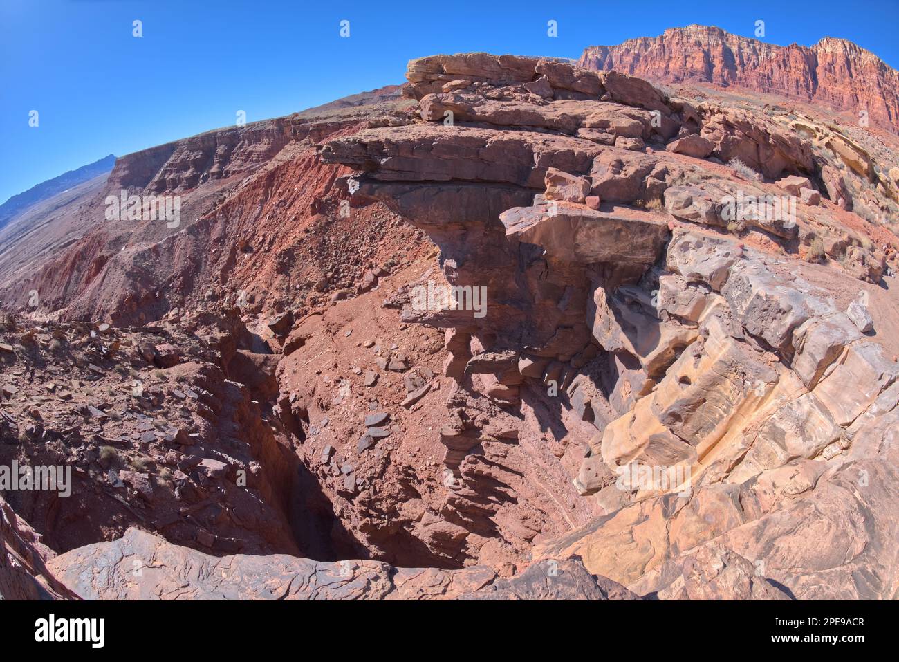 View from the cliff of a dry waterfall on the south side of Johnson Point below Vermilion Cliffs at Glen Canyon Recreation Area Arizona. Stock Photohttps://www.alamy.com/image-license-details/?v=1https://www.alamy.com/view-from-the-cliff-of-a-dry-waterfall-on-the-south-side-of-johnson-point-below-vermilion-cliffs-at-glen-canyon-recreation-area-arizona-image542332359.html
RF2PE9ACR–View from the cliff of a dry waterfall on the south side of Johnson Point below Vermilion Cliffs at Glen Canyon Recreation Area Arizona.
 The orchard at the Historic Lonely Dell Ranch in its winter sleep in the Glen Canyon Recreation Area near Lee's Ferry Arizona. Stock Photohttps://www.alamy.com/image-license-details/?v=1https://www.alamy.com/the-orchard-at-the-historic-lonely-dell-ranch-in-its-winter-sleep-in-the-glen-canyon-recreation-area-near-lees-ferry-arizona-image542335582.html
RF2PE9EFX–The orchard at the Historic Lonely Dell Ranch in its winter sleep in the Glen Canyon Recreation Area near Lee's Ferry Arizona.
 View of the Blue Forest from the lower part of Blue Mesa in Petrified Forest National Park Arizona. Stock Photohttps://www.alamy.com/image-license-details/?v=1https://www.alamy.com/view-of-the-blue-forest-from-the-lower-part-of-blue-mesa-in-petrified-forest-national-park-arizona-image515502707.html
RF2MXK4XY–View of the Blue Forest from the lower part of Blue Mesa in Petrified Forest National Park Arizona.
 A marshy watering hole in Petrified Forest National Park Arizona called Tiponi Flats. Stock Photohttps://www.alamy.com/image-license-details/?v=1https://www.alamy.com/a-marshy-watering-hole-in-petrified-forest-national-park-arizona-called-tiponi-flats-image498990703.html
RF2KYPYMF–A marshy watering hole in Petrified Forest National Park Arizona called Tiponi Flats.
 Fisheye closeup view of the northwestern spire of the Cockscomb Butte in Sedona Arizona. Stock Photohttps://www.alamy.com/image-license-details/?v=1https://www.alamy.com/fisheye-closeup-view-of-the-northwestern-spire-of-the-cockscomb-butte-in-sedona-arizona-image485658023.html
RF2K63HNB–Fisheye closeup view of the northwestern spire of the Cockscomb Butte in Sedona Arizona.
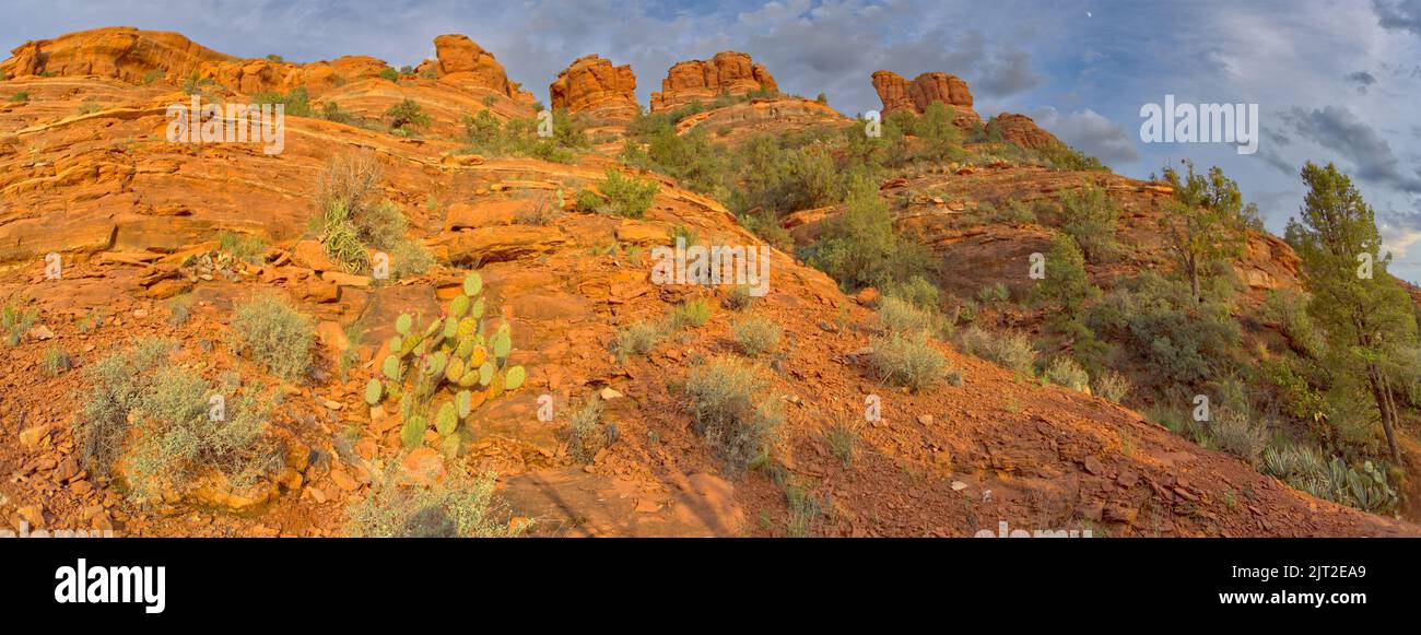 The west side of Cockscomb Butte in Sedona Arizona viewed from the Ground Control Trail near sundown. Stock Photohttps://www.alamy.com/image-license-details/?v=1https://www.alamy.com/the-west-side-of-cockscomb-butte-in-sedona-arizona-viewed-from-the-ground-control-trail-near-sundown-image479486849.html
RF2JT2EA9–The west side of Cockscomb Butte in Sedona Arizona viewed from the Ground Control Trail near sundown.
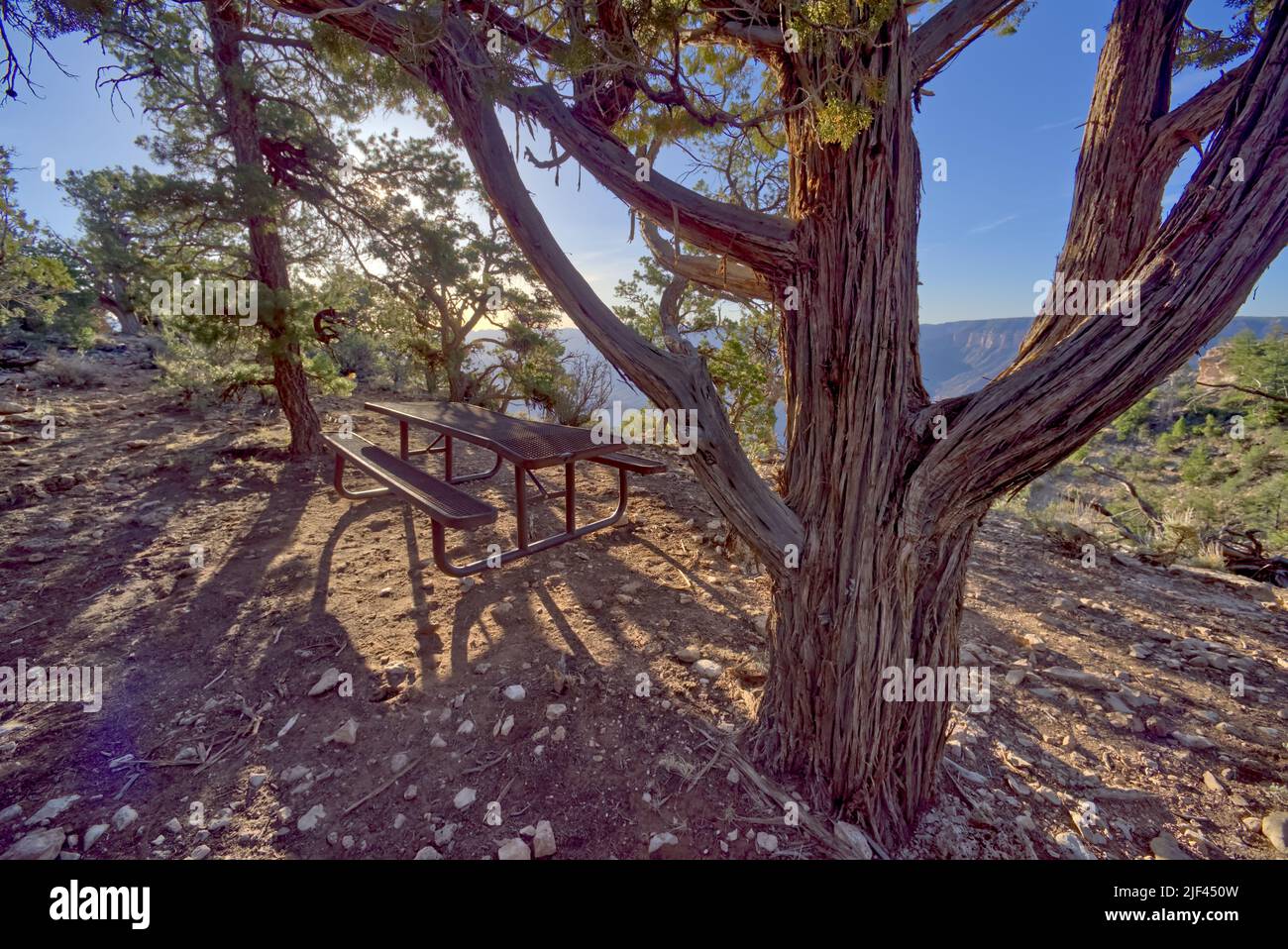 A lone picnic table just east of Shoshone Point at Grand Canyon Arizona. Public Park, no property release needed. Stock Photohttps://www.alamy.com/image-license-details/?v=1https://www.alamy.com/a-lone-picnic-table-just-east-of-shoshone-point-at-grand-canyon-arizona-public-park-no-property-release-needed-image473991529.html
RF2JF450W–A lone picnic table just east of Shoshone Point at Grand Canyon Arizona. Public Park, no property release needed.
 View of Fain Lake from the South Shore facing west. Located in Prescott Valley Arizona. Stock Photohttps://www.alamy.com/image-license-details/?v=1https://www.alamy.com/view-of-fain-lake-from-the-south-shore-facing-west-located-in-prescott-valley-arizona-image460012486.html
RF2HMBAHA–View of Fain Lake from the South Shore facing west. Located in Prescott Valley Arizona.
 View from below Fain Lake Dam in Prescott Valley Arizona. Open to public, no property release needed. Stock Photohttps://www.alamy.com/image-license-details/?v=1https://www.alamy.com/view-from-below-fain-lake-dam-in-prescott-valley-arizona-open-to-public-no-property-release-needed-image460013311.html
RF2HMBBJR–View from below Fain Lake Dam in Prescott Valley Arizona. Open to public, no property release needed.
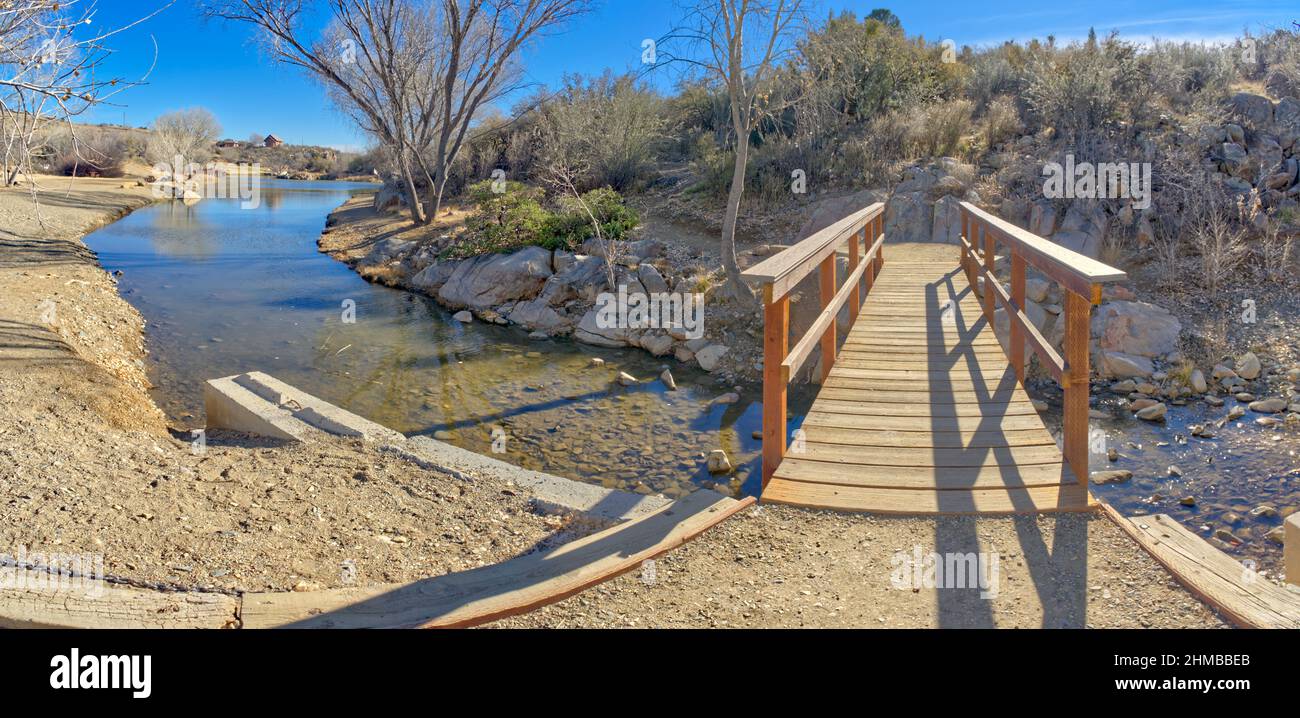 Lynx Creek crossing bridge at Fain Lake in Prescott Valley Arizona. Stock Photohttps://www.alamy.com/image-license-details/?v=1https://www.alamy.com/lynx-creek-crossing-bridge-at-fain-lake-in-prescott-valley-arizona-image460013187.html
RF2HMBBEB–Lynx Creek crossing bridge at Fain Lake in Prescott Valley Arizona.
 Granite cliffs along the East Bay Trail of Willow Lake in Prescott Arizona. The Dam that created the lake is right of center. Birds can be seen flying Stock Photohttps://www.alamy.com/image-license-details/?v=1https://www.alamy.com/granite-cliffs-along-the-east-bay-trail-of-willow-lake-in-prescott-arizona-the-dam-that-created-the-lake-is-right-of-center-birds-can-be-seen-flying-image460077294.html
RF2HME97X–Granite cliffs along the East Bay Trail of Willow Lake in Prescott Arizona. The Dam that created the lake is right of center. Birds can be seen flying
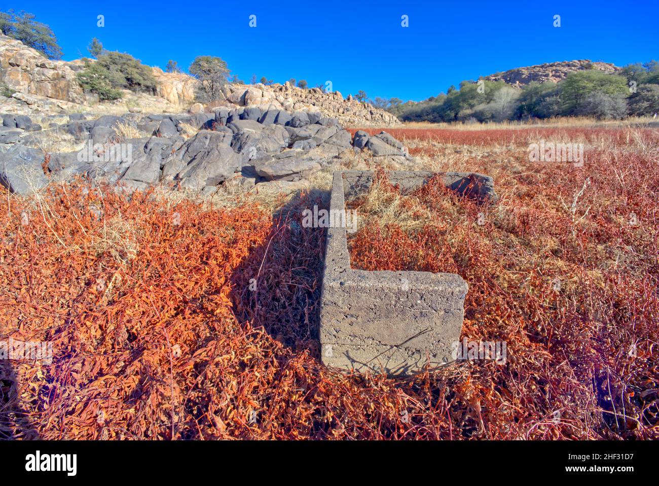 Old ruins in the marshland of Willow Lake Prescott Arizona. Stock Photohttps://www.alamy.com/image-license-details/?v=1https://www.alamy.com/old-ruins-in-the-marshland-of-willow-lake-prescott-arizona-image456756419.html
RF2HF31D7–Old ruins in the marshland of Willow Lake Prescott Arizona.
 Tunnel under Lee's Ferry Road in Glen Canyon Recreation Area Arizona. This tunnel leads to the Lower Cathedral Wash which leads to the Colorado River. Stock Photohttps://www.alamy.com/image-license-details/?v=1https://www.alamy.com/tunnel-under-lees-ferry-road-in-glen-canyon-recreation-area-arizona-this-tunnel-leads-to-the-lower-cathedral-wash-which-leads-to-the-colorado-river-image453564783.html
RF2H9WJE7–Tunnel under Lee's Ferry Road in Glen Canyon Recreation Area Arizona. This tunnel leads to the Lower Cathedral Wash which leads to the Colorado River.
 Upper Cathedral Wash in Glen Canyon Recreation Area Arizona. This path leads to the Vermilion Cliffs. Stock Photohttps://www.alamy.com/image-license-details/?v=1https://www.alamy.com/upper-cathedral-wash-in-glen-canyon-recreation-area-arizona-this-path-leads-to-the-vermilion-cliffs-image456754672.html
RF2HF2Y6T–Upper Cathedral Wash in Glen Canyon Recreation Area Arizona. This path leads to the Vermilion Cliffs.
 Upper Cathedral Wash in Glen Canyon Recreation Area Arizona. This path leads to the Vermilion Cliffs. Stock Photohttps://www.alamy.com/image-license-details/?v=1https://www.alamy.com/upper-cathedral-wash-in-glen-canyon-recreation-area-arizona-this-path-leads-to-the-vermilion-cliffs-image456754744.html
RF2HF2Y9C–Upper Cathedral Wash in Glen Canyon Recreation Area Arizona. This path leads to the Vermilion Cliffs.
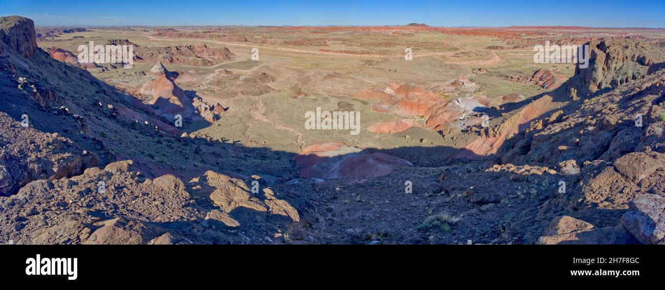 View of a valley below the overlook of Pintado Point in Petrified Forest National Park Arizona. Stock Photohttps://www.alamy.com/image-license-details/?v=1https://www.alamy.com/view-of-a-valley-below-the-overlook-of-pintado-point-in-petrified-forest-national-park-arizona-image452108172.html
RF2H7F8GC–View of a valley below the overlook of Pintado Point in Petrified Forest National Park Arizona.
 View from Whipple Point in Petrified Forest National Park Arizona. Stock Photohttps://www.alamy.com/image-license-details/?v=1https://www.alamy.com/view-from-whipple-point-in-petrified-forest-national-park-arizona-image452109065.html
RF2H7F9M9–View from Whipple Point in Petrified Forest National Park Arizona.
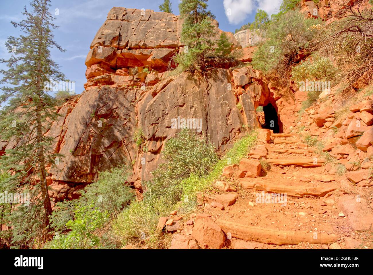 View from below the Supai Tunnel along the North Kaibab Trail at Grand Canyon North Rim Arizona. Stock Photohttps://www.alamy.com/image-license-details/?v=1https://www.alamy.com/view-from-below-the-supai-tunnel-along-the-north-kaibab-trail-at-grand-canyon-north-rim-arizona-image440983867.html
RF2GHCFBR–View from below the Supai Tunnel along the North Kaibab Trail at Grand Canyon North Rim Arizona.
 Panorama from the cliff of the Wedding Site at Cape Royal Grand Canyon North Rim Arizona. Stock Photohttps://www.alamy.com/image-license-details/?v=1https://www.alamy.com/panorama-from-the-cliff-of-the-wedding-site-at-cape-royal-grand-canyon-north-rim-arizona-image440981350.html
RF2GHCC5X–Panorama from the cliff of the Wedding Site at Cape Royal Grand Canyon North Rim Arizona.
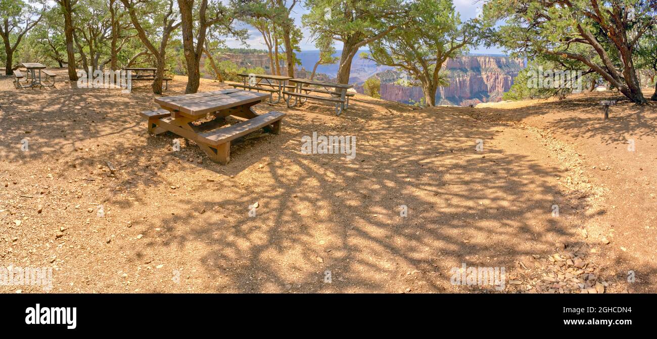 Picnic tables near the Wedding Site at Cape Royal on the North Rim of Grand Canyon Arizona. Stock Photohttps://www.alamy.com/image-license-details/?v=1https://www.alamy.com/picnic-tables-near-the-wedding-site-at-cape-royal-on-the-north-rim-of-grand-canyon-arizona-image440982560.html
RF2GHCDN4–Picnic tables near the Wedding Site at Cape Royal on the North Rim of Grand Canyon Arizona.
 Flat slabs of agate and sandstone that resemble tabletops in an area of Petrified Forest National Park Arizona called the Flat Tops. Stock Photohttps://www.alamy.com/image-license-details/?v=1https://www.alamy.com/flat-slabs-of-agate-and-sandstone-that-resemble-tabletops-in-an-area-of-petrified-forest-national-park-arizona-called-the-flat-tops-image438325904.html
RF2GD3D4G–Flat slabs of agate and sandstone that resemble tabletops in an area of Petrified Forest National Park Arizona called the Flat Tops.
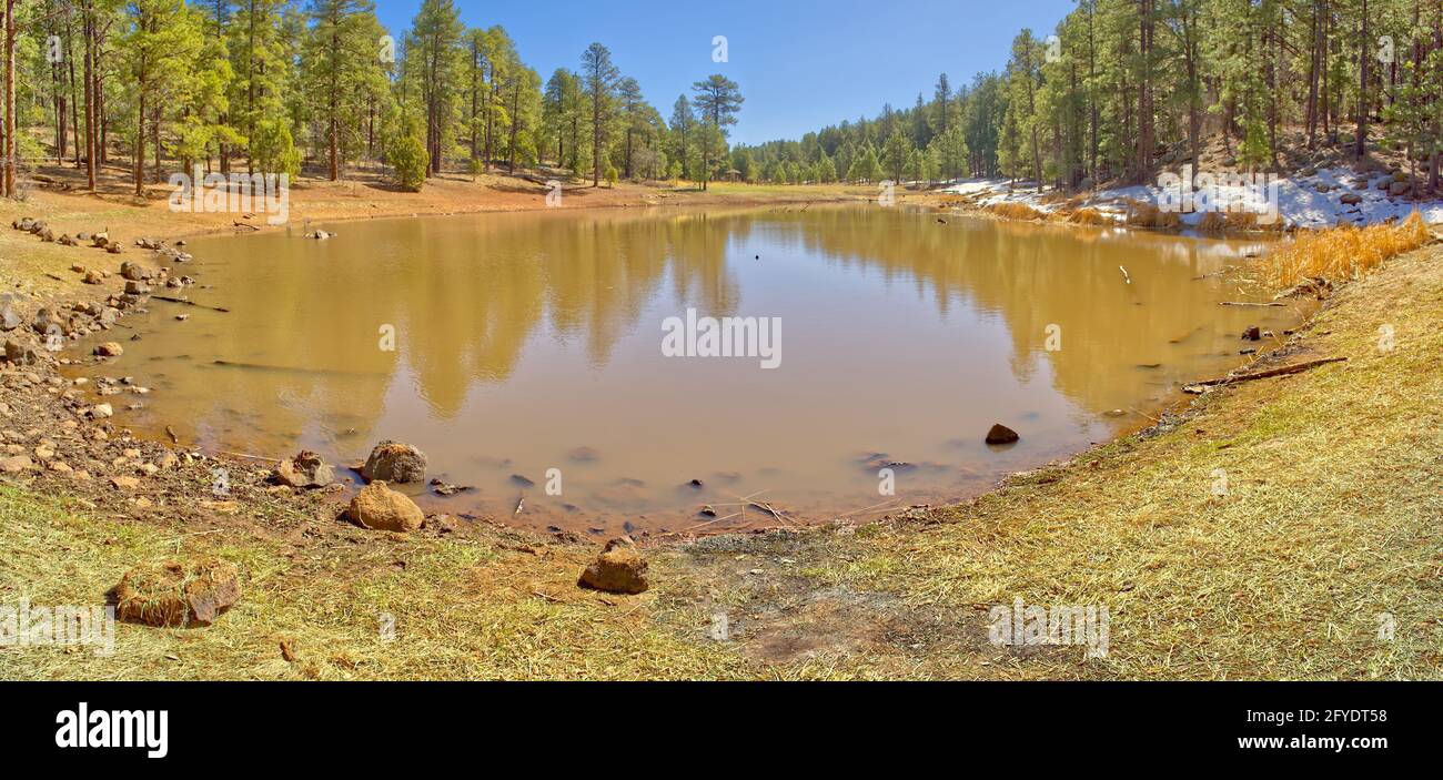 A tiny lake in the Mingus Mountain Recreation Area near Jerome Arizona. Stock Photohttps://www.alamy.com/image-license-details/?v=1https://www.alamy.com/a-tiny-lake-in-the-mingus-mountain-recreation-area-near-jerome-arizona-image429948884.html
RF2FYDT58–A tiny lake in the Mingus Mountain Recreation Area near Jerome Arizona.
 Snow covered amphitheater at Kaibab Lake in winter. Located near Williams Arizona. Stock Photohttps://www.alamy.com/image-license-details/?v=1https://www.alamy.com/snow-covered-amphitheater-at-kaibab-lake-in-winter-located-near-williams-arizona-image443692270.html
RF2GNRX0E–Snow covered amphitheater at Kaibab Lake in winter. Located near Williams Arizona.
 A clump of snow covered Marsh Grass on the north side of Kaibab Lake in winter. Located in the Kaibab National Forest near Williams Arizona. Stock Photohttps://www.alamy.com/image-license-details/?v=1https://www.alamy.com/a-clump-of-snow-covered-marsh-grass-on-the-north-side-of-kaibab-lake-in-winter-located-in-the-kaibab-national-forest-near-williams-arizona-image429948659.html
RF2FYDRW7–A clump of snow covered Marsh Grass on the north side of Kaibab Lake in winter. Located in the Kaibab National Forest near Williams Arizona.
 An overhead view of an Echinocereus Nicholii, Hedgehog Cactus, covered in snow after an overnight snow storm in Chino Valley Arizona. Stock Photohttps://www.alamy.com/image-license-details/?v=1https://www.alamy.com/an-overhead-view-of-an-echinocereus-nicholii-hedgehog-cactus-covered-in-snow-after-an-overnight-snow-storm-in-chino-valley-arizona-image416820274.html
RF2F63PEA–An overhead view of an Echinocereus Nicholii, Hedgehog Cactus, covered in snow after an overnight snow storm in Chino Valley Arizona.
 View from the north side of the Pendley Arch north of Sedona Arizona. The arch is in the Coconino National Forest just outside of Slide Rock State Par Stock Photohttps://www.alamy.com/image-license-details/?v=1https://www.alamy.com/view-from-the-north-side-of-the-pendley-arch-north-of-sedona-arizona-the-arch-is-in-the-coconino-national-forest-just-outside-of-slide-rock-state-par-image429949176.html
RF2FYDTFM–View from the north side of the Pendley Arch north of Sedona Arizona. The arch is in the Coconino National Forest just outside of Slide Rock State Par
 The Onyx Bridge in Petrified Forest National Park Arizona. It is one of the few petrified trees in the Park that is still nearly intact. Stock Photohttps://www.alamy.com/image-license-details/?v=1https://www.alamy.com/the-onyx-bridge-in-petrified-forest-national-park-arizona-it-is-one-of-the-few-petrified-trees-in-the-park-that-is-still-nearly-intact-image416820952.html
RF2F63RAG–The Onyx Bridge in Petrified Forest National Park Arizona. It is one of the few petrified trees in the Park that is still nearly intact.
 The Onyx Bridge in Petrified Forest National Park Arizona. It is one of the few petrified trees in the Park that is still nearly intact. Stock Photohttps://www.alamy.com/image-license-details/?v=1https://www.alamy.com/the-onyx-bridge-in-petrified-forest-national-park-arizona-it-is-one-of-the-few-petrified-trees-in-the-park-that-is-still-nearly-intact-image416821229.html
RF2F63RMD–The Onyx Bridge in Petrified Forest National Park Arizona. It is one of the few petrified trees in the Park that is still nearly intact.
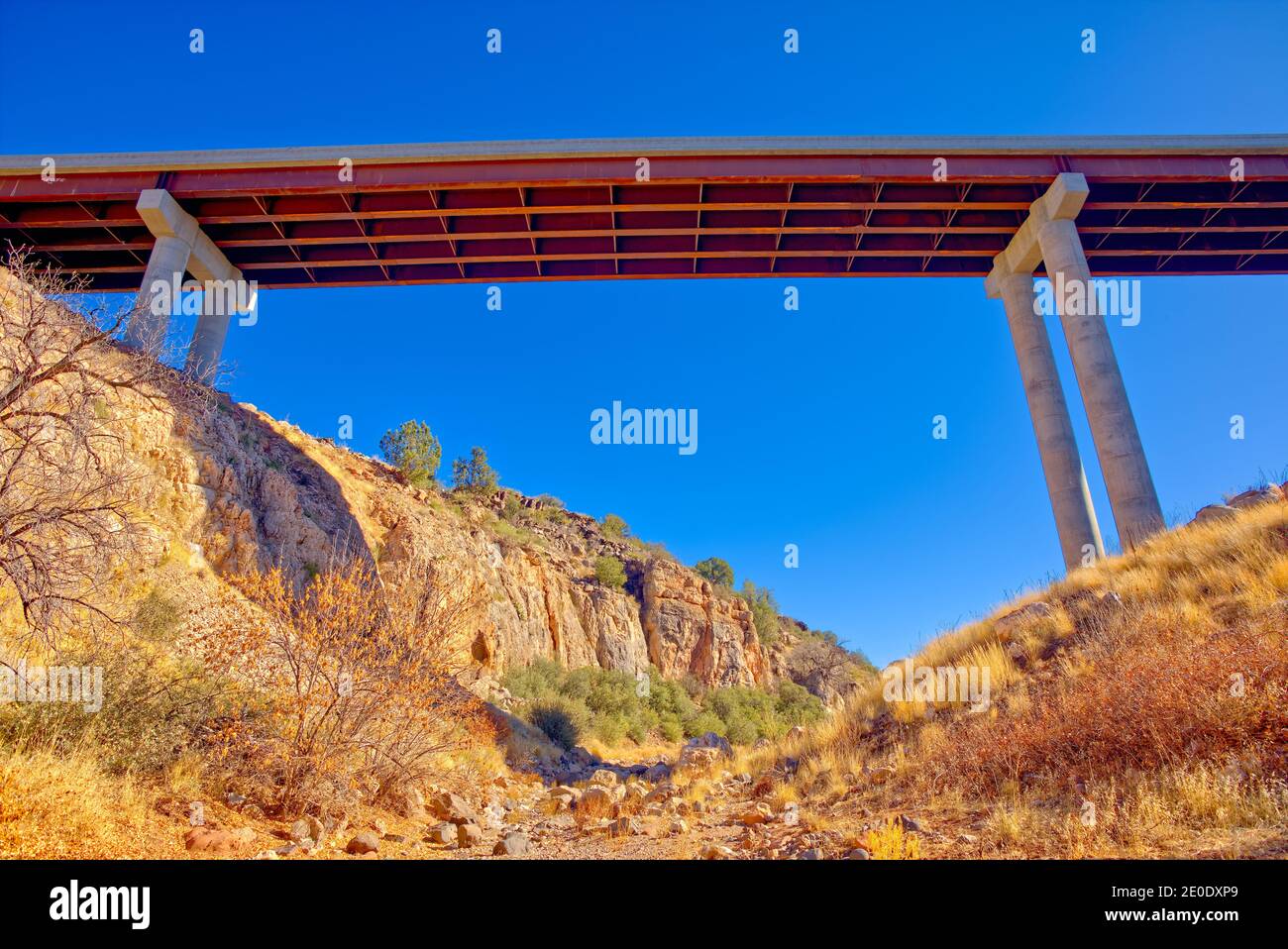 State Route 89 bridge over Hell Canyon near Drake Arizona. Located in the Prescott National Forest. Stock Photohttps://www.alamy.com/image-license-details/?v=1https://www.alamy.com/state-route-89-bridge-over-hell-canyon-near-drake-arizona-located-in-the-prescott-national-forest-image396144849.html
RF2E0DXP9–State Route 89 bridge over Hell Canyon near Drake Arizona. Located in the Prescott National Forest.
 An inactive rock quarry in MC Canyon near Drake Arizona. The quarry is located in the Prescott National Forest. Stock Photohttps://www.alamy.com/image-license-details/?v=1https://www.alamy.com/an-inactive-rock-quarry-in-mc-canyon-near-drake-arizona-the-quarry-is-located-in-the-prescott-national-forest-image396145400.html
RF2E0DYE0–An inactive rock quarry in MC Canyon near Drake Arizona. The quarry is located in the Prescott National Forest.
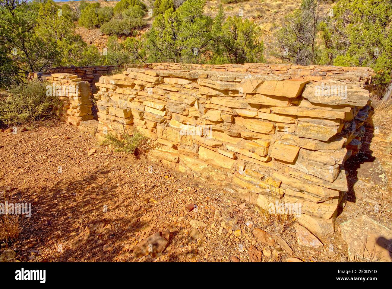 Old pioneer ruins near the end of MC Canyon east of Drake Arizona. The ruins could be over 100 years old. Located in the Prescott National Forest. Stock Photohttps://www.alamy.com/image-license-details/?v=1https://www.alamy.com/old-pioneer-ruins-near-the-end-of-mc-canyon-east-of-drake-arizona-the-ruins-could-be-over-100-years-old-located-in-the-prescott-national-forest-image396145133.html
RF2E0DY4D–Old pioneer ruins near the end of MC Canyon east of Drake Arizona. The ruins could be over 100 years old. Located in the Prescott National Forest.
 Shallow pond in the Sunflower Flat Wildlife Preserve near Williams Arizona. Stock Photohttps://www.alamy.com/image-license-details/?v=1https://www.alamy.com/shallow-pond-in-the-sunflower-flat-wildlife-preserve-near-williams-arizona-image446625813.html
RF2GXHFNW–Shallow pond in the Sunflower Flat Wildlife Preserve near Williams Arizona.
 The blocky cliffs of Sycamore Falls in the Kaibab National Forest near Williams Arizona. The waterfalls at this time of year are dry and inactive. Stock Photohttps://www.alamy.com/image-license-details/?v=1https://www.alamy.com/the-blocky-cliffs-of-sycamore-falls-in-the-kaibab-national-forest-near-williams-arizona-the-waterfalls-at-this-time-of-year-are-dry-and-inactive-image446626133.html
RF2GXHG59–The blocky cliffs of Sycamore Falls in the Kaibab National Forest near Williams Arizona. The waterfalls at this time of year are dry and inactive.
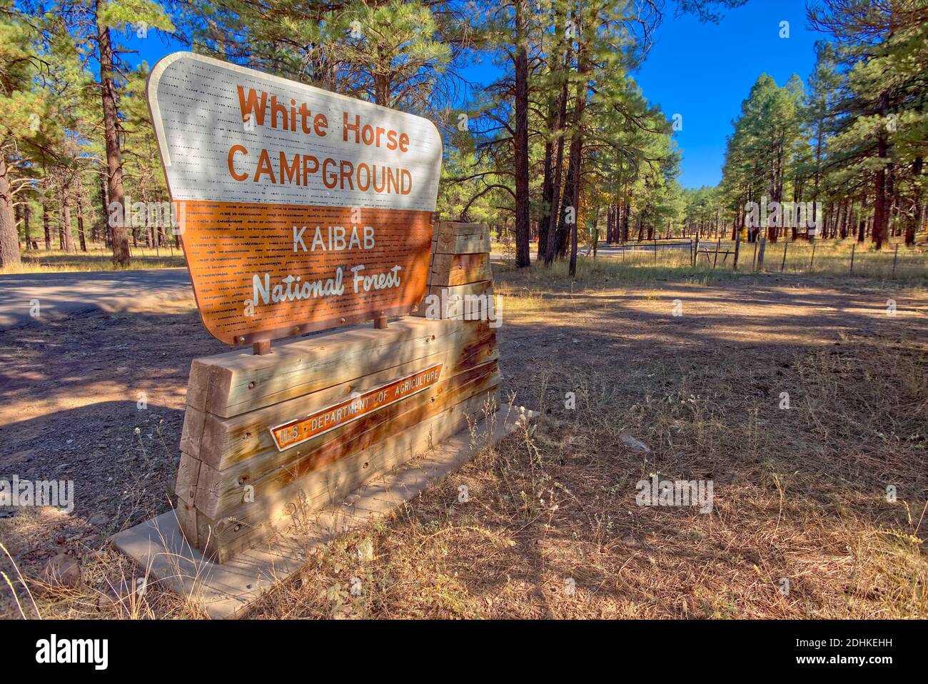 The Entrance Sign for the White Horse Lake Campground in the Kaibab National Forest near Williams Arizona. Public land, no property release needed. Stock Photohttps://www.alamy.com/image-license-details/?v=1https://www.alamy.com/the-entrance-sign-for-the-white-horse-lake-campground-in-the-kaibab-national-forest-near-williams-arizona-public-land-no-property-release-needed-image389505805.html
RF2DHKEHH–The Entrance Sign for the White Horse Lake Campground in the Kaibab National Forest near Williams Arizona. Public land, no property release needed.
 View of the swampy muddy wetland on the east side of White Horse Lake in northern Arizona. Located in the Kaibab National Forest. Stock Photohttps://www.alamy.com/image-license-details/?v=1https://www.alamy.com/view-of-the-swampy-muddy-wetland-on-the-east-side-of-white-horse-lake-in-northern-arizona-located-in-the-kaibab-national-forest-image389506658.html
RF2DHKFM2–View of the swampy muddy wetland on the east side of White Horse Lake in northern Arizona. Located in the Kaibab National Forest.
 Closeup of Driftwood on the northeast shore of Dogtown Lake near Williams Arizona. Stock Photohttps://www.alamy.com/image-license-details/?v=1https://www.alamy.com/closeup-of-driftwood-on-the-northeast-shore-of-dogtown-lake-near-williams-arizona-image391700805.html
RF2DN7EAD–Closeup of Driftwood on the northeast shore of Dogtown Lake near Williams Arizona.
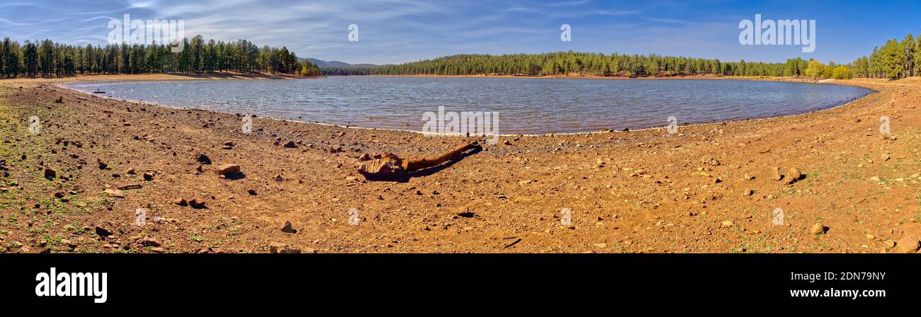 Panorama of Dogtown Lake in Williams Arizona from its southeast section. Stock Photohttps://www.alamy.com/image-license-details/?v=1https://www.alamy.com/panorama-of-dogtown-lake-in-williams-arizona-from-its-southeast-section-image391697207.html
RF2DN79NY–Panorama of Dogtown Lake in Williams Arizona from its southeast section.
 Large boulders lining the shoreline of a lagoon on the southwest side of Dogtown Lake near Williams Arizona. This lagoon is part of Dogtown Wash that Stock Photohttps://www.alamy.com/image-license-details/?v=1https://www.alamy.com/large-boulders-lining-the-shoreline-of-a-lagoon-on-the-southwest-side-of-dogtown-lake-near-williams-arizona-this-lagoon-is-part-of-dogtown-wash-that-image391703238.html
RF2DN7HDA–Large boulders lining the shoreline of a lagoon on the southwest side of Dogtown Lake near Williams Arizona. This lagoon is part of Dogtown Wash that
 Bill Williams Mountain in northern Arizona viewed from its west side off of the Bill Williams Loop Road. Taken near sundown. Stock Photohttps://www.alamy.com/image-license-details/?v=1https://www.alamy.com/bill-williams-mountain-in-northern-arizona-viewed-from-its-west-side-off-of-the-bill-williams-loop-road-taken-near-sundown-image388545827.html
RF2DG3P4K–Bill Williams Mountain in northern Arizona viewed from its west side off of the Bill Williams Loop Road. Taken near sundown.
 The scenic Bill Williams Mountain Road in northern Arizona closed off by the National Forest Service due to high wildfire danger. Stock Photohttps://www.alamy.com/image-license-details/?v=1https://www.alamy.com/the-scenic-bill-williams-mountain-road-in-northern-arizona-closed-off-by-the-national-forest-service-due-to-high-wildfire-danger-image388544209.html
RF2DG3M2W–The scenic Bill Williams Mountain Road in northern Arizona closed off by the National Forest Service due to high wildfire danger.
 The McLellan Reservoir near Williams Arizona. Built in 1937. Stock Photohttps://www.alamy.com/image-license-details/?v=1https://www.alamy.com/the-mclellan-reservoir-near-williams-arizona-built-in-1937-image391708539.html
RF2DN7T6K–The McLellan Reservoir near Williams Arizona. Built in 1937.
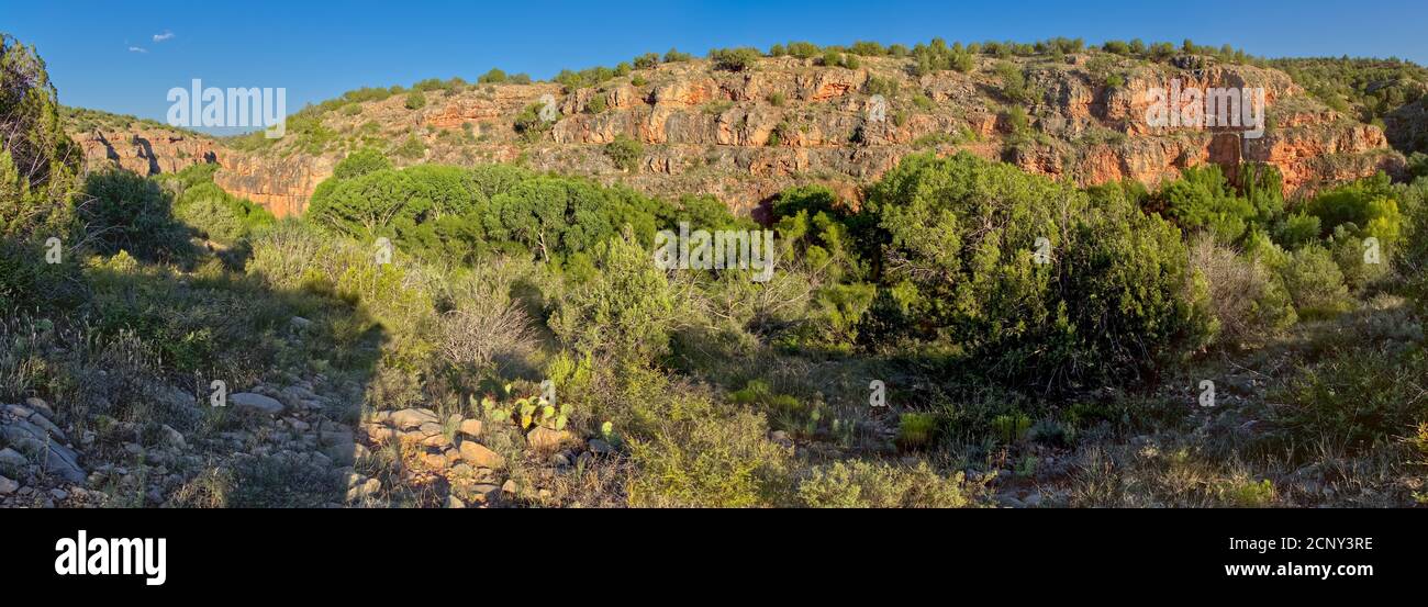 Panorama of the Verde River Canyon Walls viewed from the Bear Siding Recreation Area in the Prescott National Forest near Perkinsville AZ. Stock Photohttps://www.alamy.com/image-license-details/?v=1https://www.alamy.com/panorama-of-the-verde-river-canyon-walls-viewed-from-the-bear-siding-recreation-area-in-the-prescott-national-forest-near-perkinsville-az-image374921218.html
RF2CNY3RE–Panorama of the Verde River Canyon Walls viewed from the Bear Siding Recreation Area in the Prescott National Forest near Perkinsville AZ.
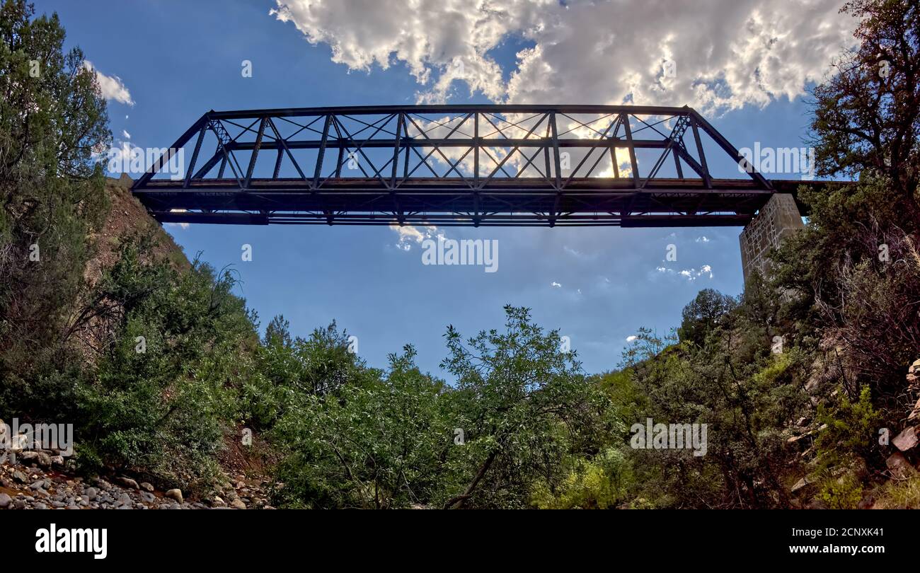 View from below an old railroad trestle bridge spanning Bear Canyon near Perkinsville Arizona in the Prescott National Forest. Stock Photohttps://www.alamy.com/image-license-details/?v=1https://www.alamy.com/view-from-below-an-old-railroad-trestle-bridge-spanning-bear-canyon-near-perkinsville-arizona-in-the-prescott-national-forest-image374911265.html
RF2CNXK41–View from below an old railroad trestle bridge spanning Bear Canyon near Perkinsville Arizona in the Prescott National Forest.
 A section of the Verde River near Perkinsville AZ called Bear Siding. It is east of where Bear Canyon meets the Verde River in the Prescott National F Stock Photohttps://www.alamy.com/image-license-details/?v=1https://www.alamy.com/a-section-of-the-verde-river-near-perkinsville-az-called-bear-siding-it-is-east-of-where-bear-canyon-meets-the-verde-river-in-the-prescott-national-f-image374917179.html
RF2CNXXK7–A section of the Verde River near Perkinsville AZ called Bear Siding. It is east of where Bear Canyon meets the Verde River in the Prescott National F
 A toxic pond that formed from rain running off of mine tailings at an abandoned copper mine in the Prescott National Forest near Perkinsville AZ. Stock Photohttps://www.alamy.com/image-license-details/?v=1https://www.alamy.com/a-toxic-pond-that-formed-from-rain-running-off-of-mine-tailings-at-an-abandoned-copper-mine-in-the-prescott-national-forest-near-perkinsville-az-image441583766.html
RF2GJBTGP–A toxic pond that formed from rain running off of mine tailings at an abandoned copper mine in the Prescott National Forest near Perkinsville AZ.