Lincoln county washington map Stock Photos and Images
(72)See lincoln county washington map stock video clipsQuick filters:
Page 1 of 1
Lincoln county washington map Stock Photos and Images
 Map of Lincoln County in Washington DC state on white background. single County map highlighted by black colour on WASHINGTON map. UNITED STATES, US Stock Photohttps://www.alamy.com/licenses-and-pricing/?v=1https://www.alamy.com/map-of-lincoln-county-in-washington-dc-state-on-white-background-single-county-map-highlighted-by-black-colour-on-washington-map-united-states-us-image567434891.html
RF2RY4TYR–Map of Lincoln County in Washington DC state on white background. single County map highlighted by black colour on WASHINGTON map. UNITED STATES, US
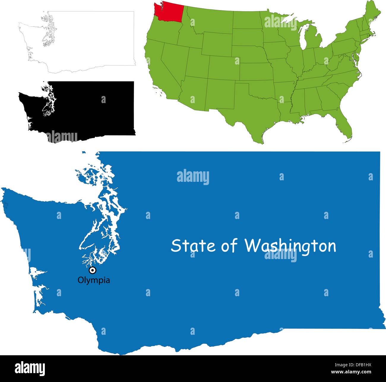 Washington map Stock Photohttps://www.alamy.com/licenses-and-pricing/?v=1https://www.alamy.com/washington-map-image61093702.html
RFDFB1HX–Washington map
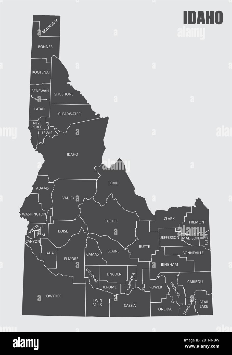 Idaho State counties map Stock Vectorhttps://www.alamy.com/licenses-and-pricing/?v=1https://www.alamy.com/idaho-state-counties-map-image359436893.html
RF2BTNNBW–Idaho State counties map
 Black highlighted location map of the Lincoln County inside gray administrative map of the Federal State of Wyoming, USA Stock Vectorhttps://www.alamy.com/licenses-and-pricing/?v=1https://www.alamy.com/black-highlighted-location-map-of-the-lincoln-county-inside-gray-administrative-map-of-the-federal-state-of-wyoming-usa-image455339017.html
RF2HCPDFN–Black highlighted location map of the Lincoln County inside gray administrative map of the Federal State of Wyoming, USA
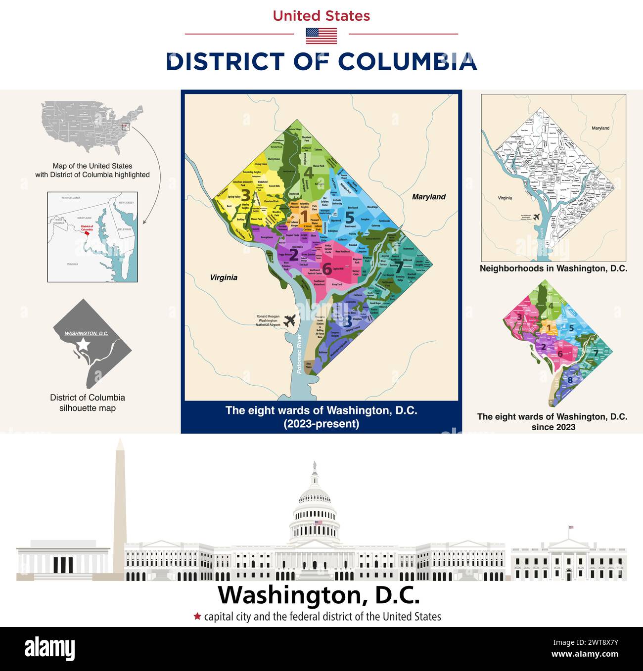 Map of wards and neighborhoods in District of Columbia. City skyline of Washinton, D. C. Stock Vectorhttps://www.alamy.com/licenses-and-pricing/?v=1https://www.alamy.com/map-of-wards-and-neighborhoods-in-district-of-columbia-city-skyline-of-washinton-d-c-image600100479.html
RF2WT8X7Y–Map of wards and neighborhoods in District of Columbia. City skyline of Washinton, D. C.
 Nebraska Map. Political map of Nebraska with boundaries in Outline. Stock Vectorhttps://www.alamy.com/licenses-and-pricing/?v=1https://www.alamy.com/nebraska-map-political-map-of-nebraska-with-boundaries-in-outline-image471183192.html
RF2JAG6Y4–Nebraska Map. Political map of Nebraska with boundaries in Outline.
 Black highlighted location map of the Lincoln County inside gray administrative map of the Federal State of Washington, USA Stock Vectorhttps://www.alamy.com/licenses-and-pricing/?v=1https://www.alamy.com/black-highlighted-location-map-of-the-lincoln-county-inside-gray-administrative-map-of-the-federal-state-of-washington-usa-image455131386.html
RF2HCD0MA–Black highlighted location map of the Lincoln County inside gray administrative map of the Federal State of Washington, USA
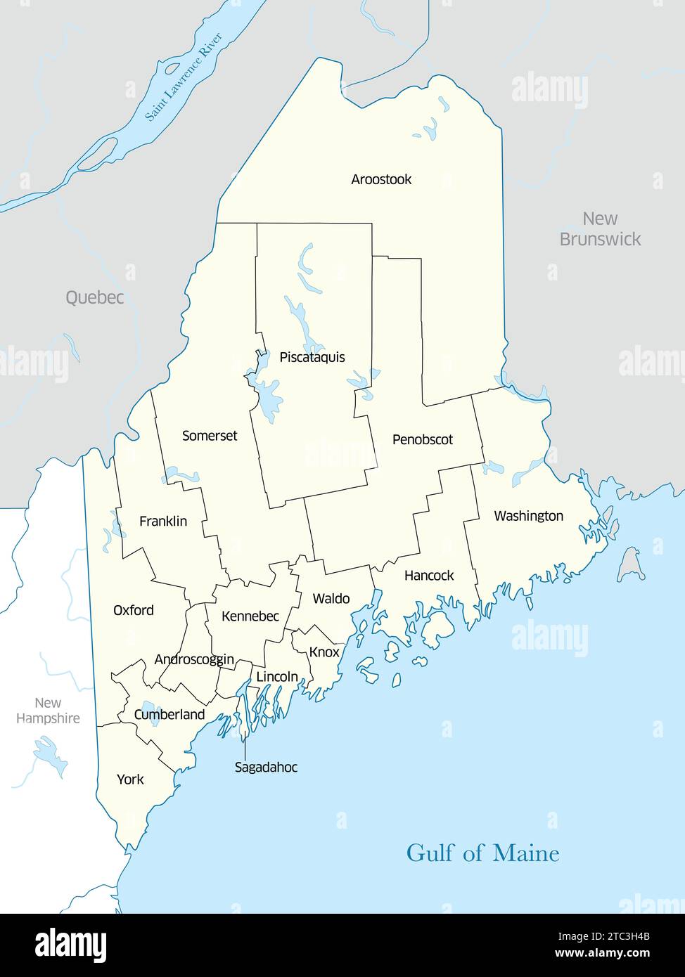 Political map of the counties that make up the state of Maine in the United States Stock Photohttps://www.alamy.com/licenses-and-pricing/?v=1https://www.alamy.com/political-map-of-the-counties-that-make-up-the-state-of-maine-in-the-united-states-image575397323.html
RF2TC3H4B–Political map of the counties that make up the state of Maine in the United States
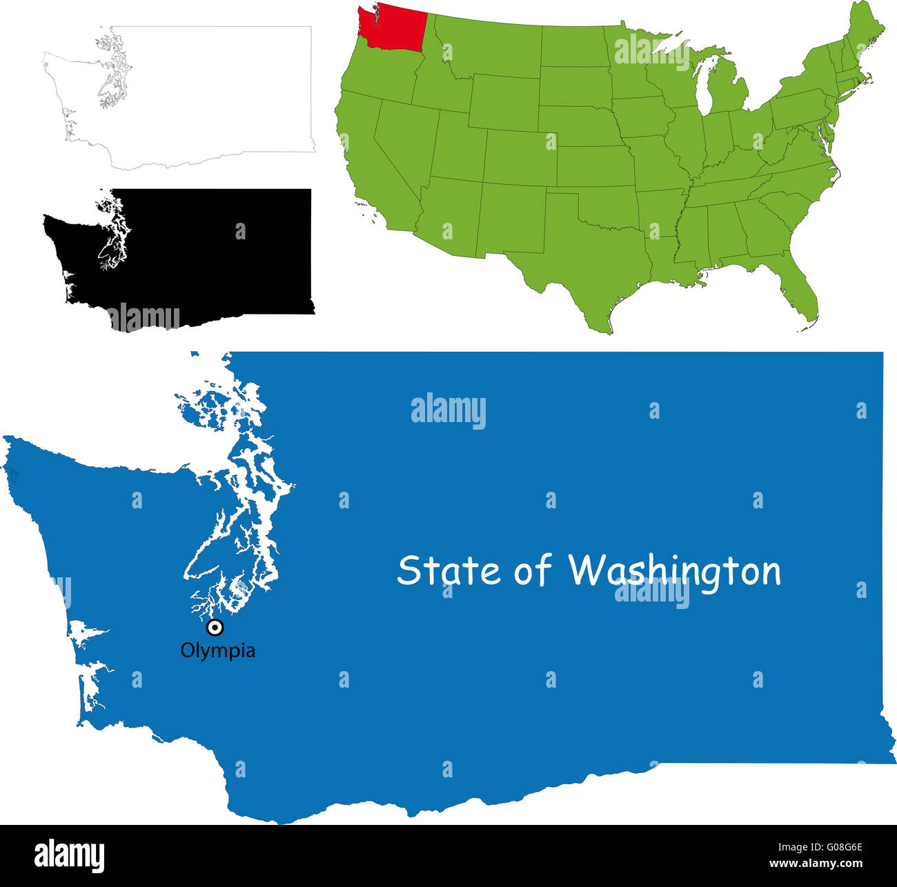 Washington map Stock Photohttps://www.alamy.com/licenses-and-pricing/?v=1https://www.alamy.com/stock-photo-washington-map-103450550.html
RMG08G6E–Washington map
 Black highlighted location map of the Lincoln County inside gray administrative map of the Federal State of Wisconsin, USA Stock Vectorhttps://www.alamy.com/licenses-and-pricing/?v=1https://www.alamy.com/black-highlighted-location-map-of-the-lincoln-county-inside-gray-administrative-map-of-the-federal-state-of-wisconsin-usa-image455317210.html
RF2HCNDMX–Black highlighted location map of the Lincoln County inside gray administrative map of the Federal State of Wisconsin, USA
 Sanborn Fire Insurance Map from Davenport, Lincoln County, Washington. Stock Photohttps://www.alamy.com/licenses-and-pricing/?v=1https://www.alamy.com/sanborn-fire-insurance-map-from-davenport-lincoln-county-washington-image456359034.html
RM2HECXGX–Sanborn Fire Insurance Map from Davenport, Lincoln County, Washington.
 Black highlighted location map of the Lincoln County inside gray administrative map of the Federal State of West Virginia, USA Stock Vectorhttps://www.alamy.com/licenses-and-pricing/?v=1https://www.alamy.com/black-highlighted-location-map-of-the-lincoln-county-inside-gray-administrative-map-of-the-federal-state-of-west-virginia-usa-image455233392.html
RF2HCHJRC–Black highlighted location map of the Lincoln County inside gray administrative map of the Federal State of West Virginia, USA
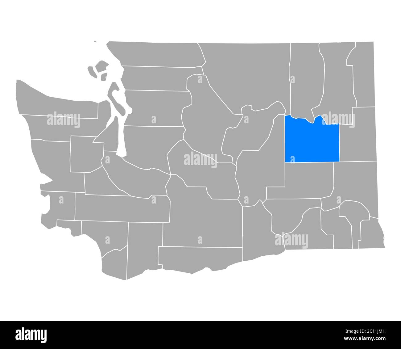 Map of Lincoln in Washington Stock Photohttps://www.alamy.com/licenses-and-pricing/?v=1https://www.alamy.com/map-of-lincoln-in-washington-image362069025.html
RF2C11JMH–Map of Lincoln in Washington
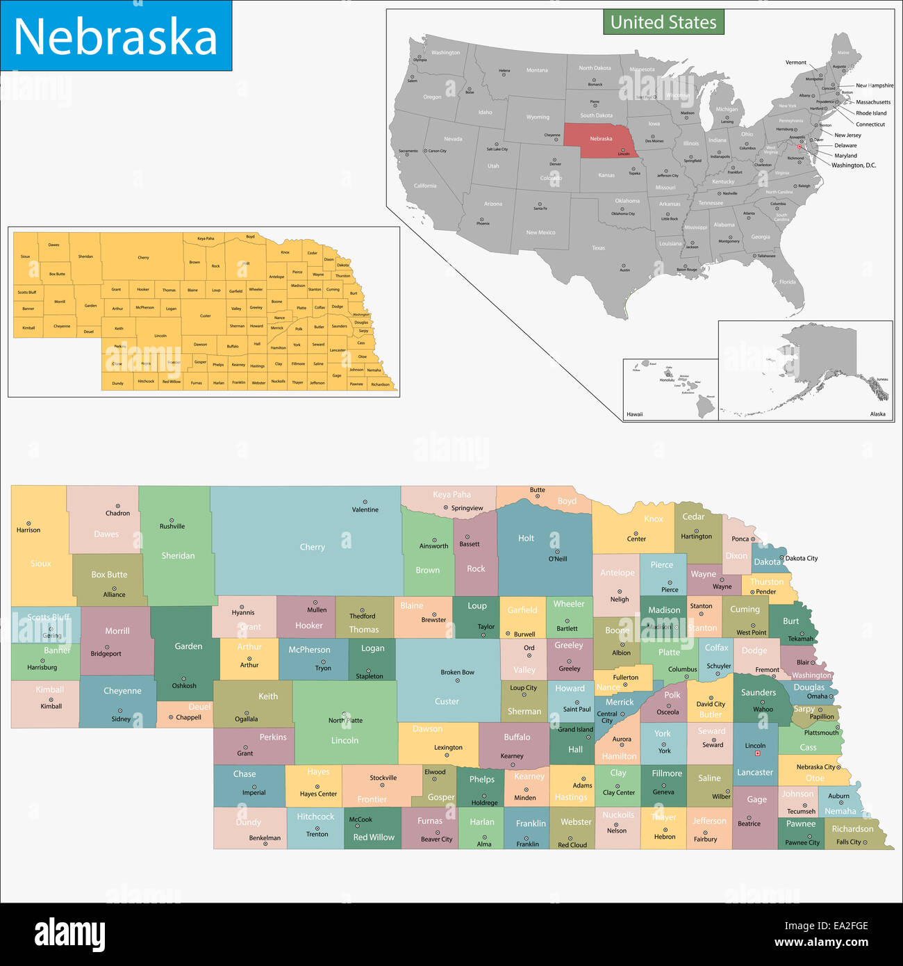 Nebraska map Stock Photohttps://www.alamy.com/licenses-and-pricing/?v=1https://www.alamy.com/stock-photo-nebraska-map-75044158.html
RFEA2FGE–Nebraska map
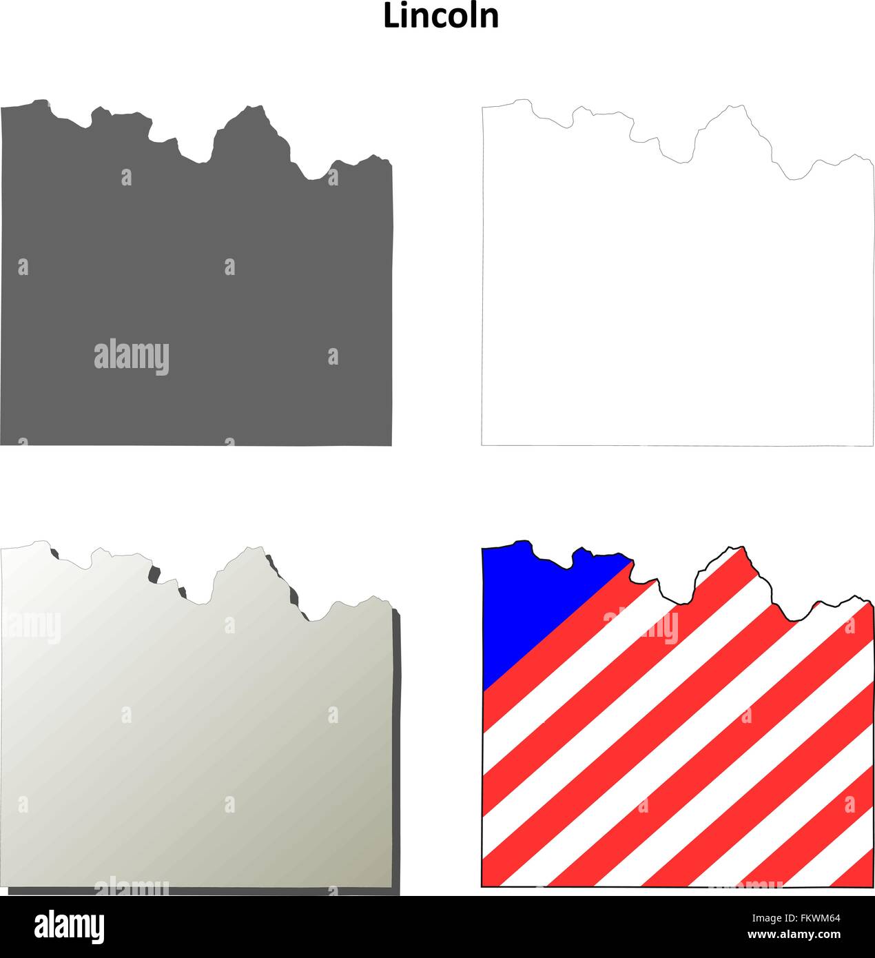 Lincoln County, Washington outline map set Stock Vectorhttps://www.alamy.com/licenses-and-pricing/?v=1https://www.alamy.com/stock-photo-lincoln-county-washington-outline-map-set-98294956.html
RFFKWM64–Lincoln County, Washington outline map set
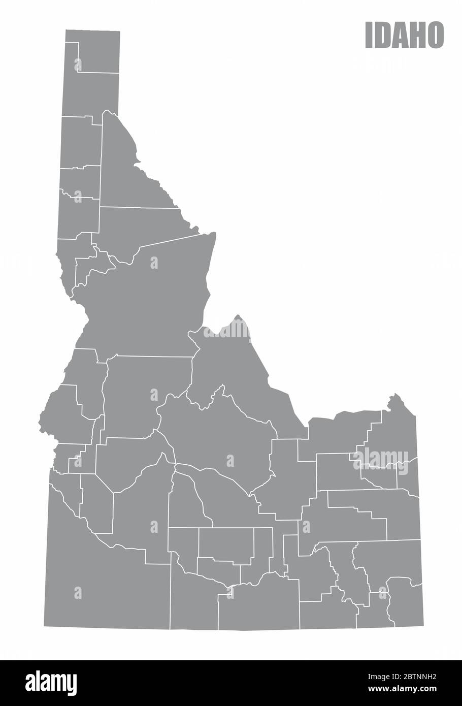 Idaho State counties map Stock Vectorhttps://www.alamy.com/licenses-and-pricing/?v=1https://www.alamy.com/idaho-state-counties-map-image359437038.html
RF2BTNNH2–Idaho State counties map
 . The Waltham suburban directory for Weston, Wayland, Cochituate and Lincoln : containing an alphabetical list of the inhabitants and business firms, streets, town offices, societies, churches and other miscellaneous matter, also buyers' guides and a street map of West, Middlesex County . THE ULO COMPANYII Columbus Ave.. ^ Si>lern. Mass. Write: 12 WASHINGTON SQUARE, SALEM, MASS, S6e WALTHAM SUBURBAN DIRECTORY FOR WESTON, WAYLAND, COCHITUATE AND LINCOLN CONTAINING AN ALPHABETIOAL LIST OF THE INHABITANTS AND BUSINESS FIRMS, STREETS, TOWN OFFICIALS, SOCIETIES, CHURCHES AND OTHER mSCELLANEOUS M Stock Photohttps://www.alamy.com/licenses-and-pricing/?v=1https://www.alamy.com/the-waltham-suburban-directory-for-weston-wayland-cochituate-and-lincoln-containing-an-alphabetical-list-of-the-inhabitants-and-business-firms-streets-town-offices-societies-churches-and-other-miscellaneous-matter-also-buyers-guides-and-a-street-map-of-west-middlesex-county-the-ulo-companyii-columbus-ave-sigtlern-mass-write-12-washington-square-salem-mass-s6e-waltham-suburban-directory-for-weston-wayland-cochituate-and-lincoln-containing-an-alphabetioal-list-of-the-inhabitants-and-business-firms-streets-town-officials-societies-churches-and-other-mscellaneous-m-image376126255.html
RM2CRX0TF–. The Waltham suburban directory for Weston, Wayland, Cochituate and Lincoln : containing an alphabetical list of the inhabitants and business firms, streets, town offices, societies, churches and other miscellaneous matter, also buyers' guides and a street map of West, Middlesex County . THE ULO COMPANYII Columbus Ave.. ^ Si>lern. Mass. Write: 12 WASHINGTON SQUARE, SALEM, MASS, S6e WALTHAM SUBURBAN DIRECTORY FOR WESTON, WAYLAND, COCHITUATE AND LINCOLN CONTAINING AN ALPHABETIOAL LIST OF THE INHABITANTS AND BUSINESS FIRMS, STREETS, TOWN OFFICIALS, SOCIETIES, CHURCHES AND OTHER mSCELLANEOUS M
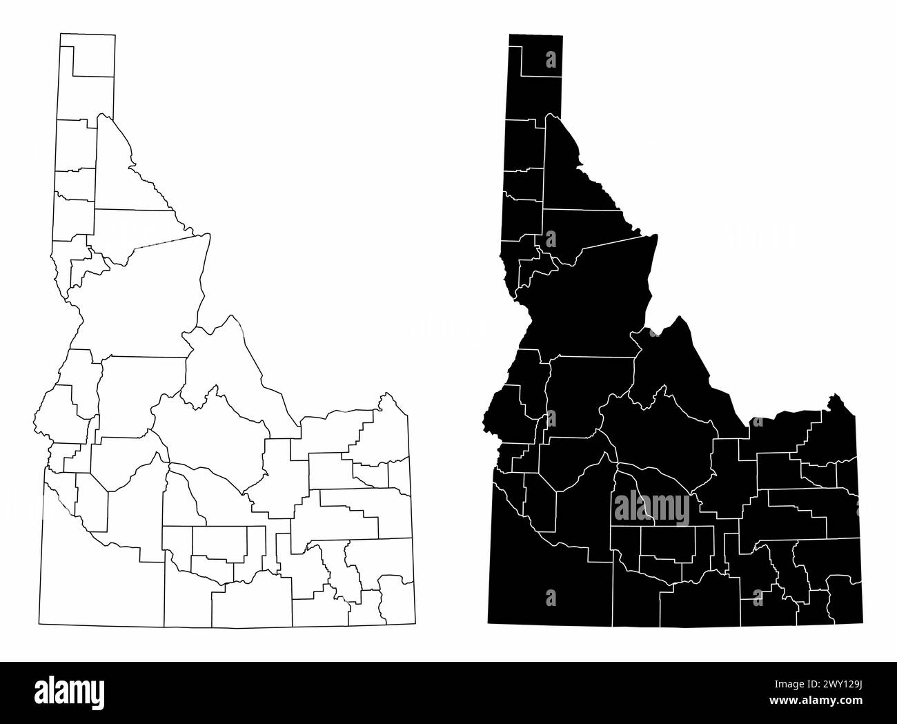 The black and white administrative maps of Idaho State, USA Stock Vectorhttps://www.alamy.com/licenses-and-pricing/?v=1https://www.alamy.com/the-black-and-white-administrative-maps-of-idaho-state-usa-image601772014.html
RF2WY129J–The black and white administrative maps of Idaho State, USA
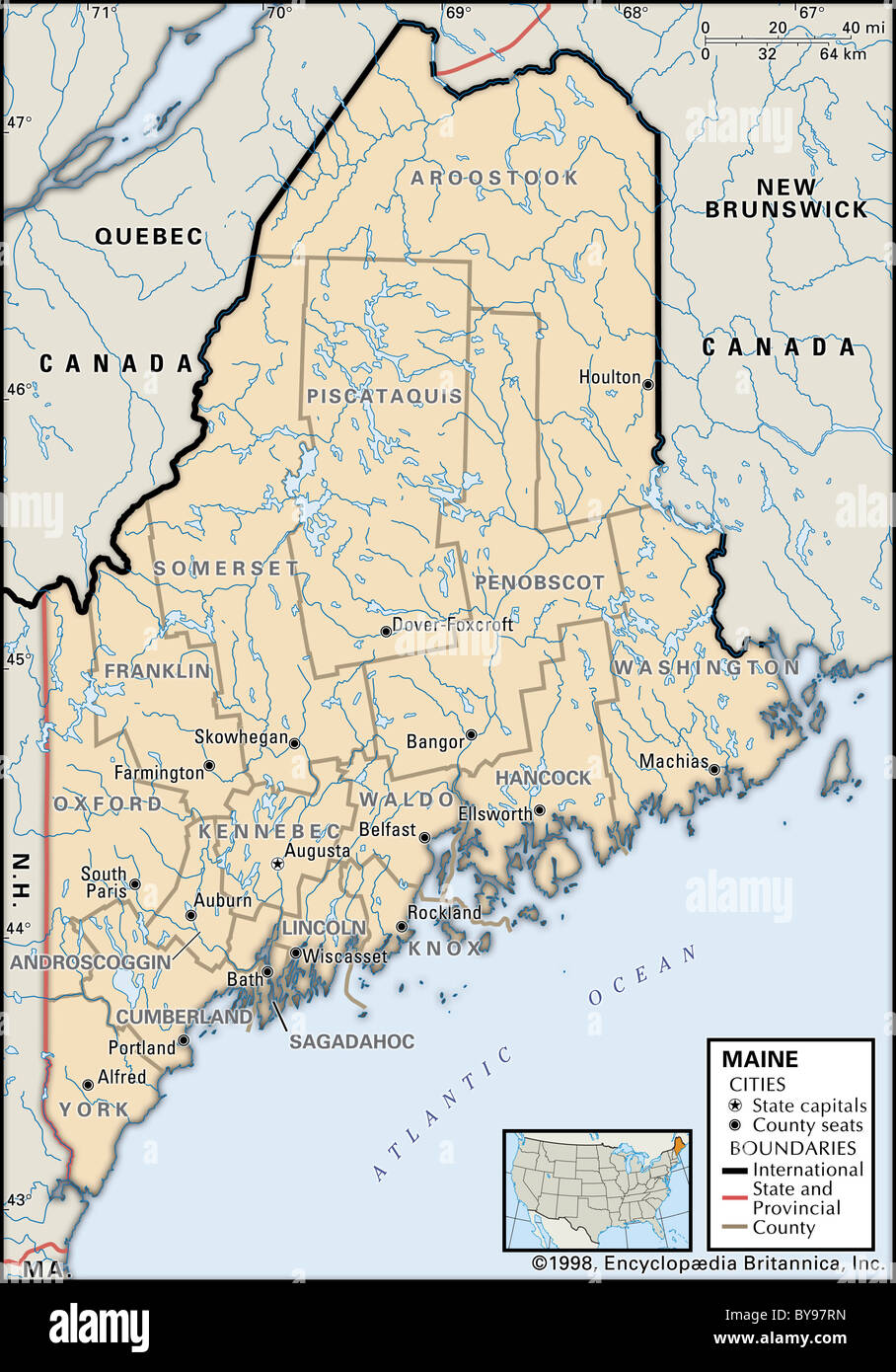 Political map of Maine Stock Photohttps://www.alamy.com/licenses-and-pricing/?v=1https://www.alamy.com/stock-photo-political-map-of-maine-34009801.html
RMBY97RN–Political map of Maine
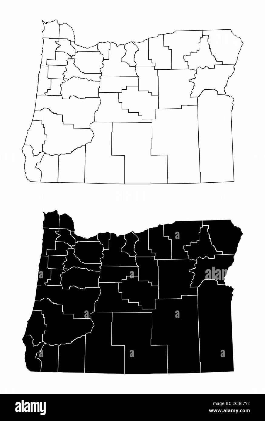 Oregon County Maps Stock Vectorhttps://www.alamy.com/licenses-and-pricing/?v=1https://www.alamy.com/oregon-county-maps-image364014310.html
RF2C467Y2–Oregon County Maps
 Map of Lincoln in Washington Stock Photohttps://www.alamy.com/licenses-and-pricing/?v=1https://www.alamy.com/map-of-lincoln-in-washington-image385770388.html
RF2DBHA1T–Map of Lincoln in Washington
 Lincoln County, State of Washington (U.S. county, United States of America, USA, U.S., US) map vector illustration, scribble sketch Lincoln map Stock Vectorhttps://www.alamy.com/licenses-and-pricing/?v=1https://www.alamy.com/lincoln-county-state-of-washington-us-county-united-states-of-america-usa-us-us-map-vector-illustration-scribble-sketch-lincoln-map-image432355111.html
RF2G3BD9Y–Lincoln County, State of Washington (U.S. county, United States of America, USA, U.S., US) map vector illustration, scribble sketch Lincoln map
 Lincoln, Washington, map 1950, 1:62500, United States of America by Timeless Maps, data U.S. Geological Survey Stock Photohttps://www.alamy.com/licenses-and-pricing/?v=1https://www.alamy.com/lincoln-washington-map-1950-162500-united-states-of-america-by-timeless-maps-data-us-geological-survey-image414290059.html
RM2F20F5F–Lincoln, Washington, map 1950, 1:62500, United States of America by Timeless Maps, data U.S. Geological Survey
 Nebraska Map. Political map of Nebraska with boundaries in white color. Stock Vectorhttps://www.alamy.com/licenses-and-pricing/?v=1https://www.alamy.com/nebraska-map-political-map-of-nebraska-with-boundaries-in-white-color-image471183015.html
RF2JAG6MR–Nebraska Map. Political map of Nebraska with boundaries in white color.
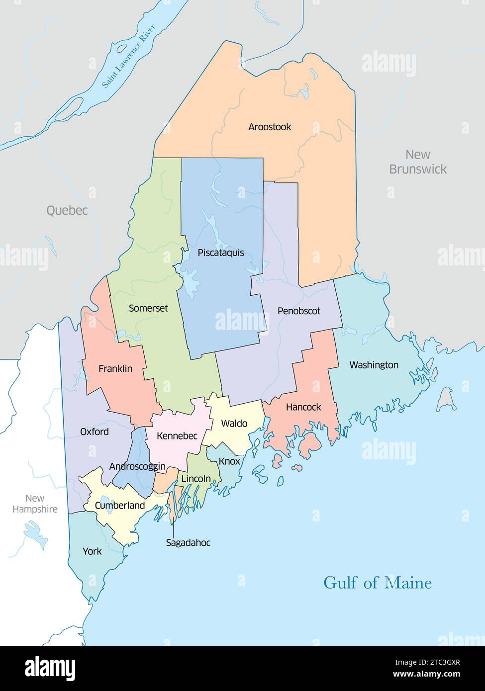 Multi-colored map displaying the many counties that make up the state of Maine in the United States. Stock Photohttps://www.alamy.com/licenses-and-pricing/?v=1https://www.alamy.com/multi-colored-map-displaying-the-many-counties-that-make-up-the-state-of-maine-in-the-united-states-image575397167.html
RF2TC3GXR–Multi-colored map displaying the many counties that make up the state of Maine in the United States.
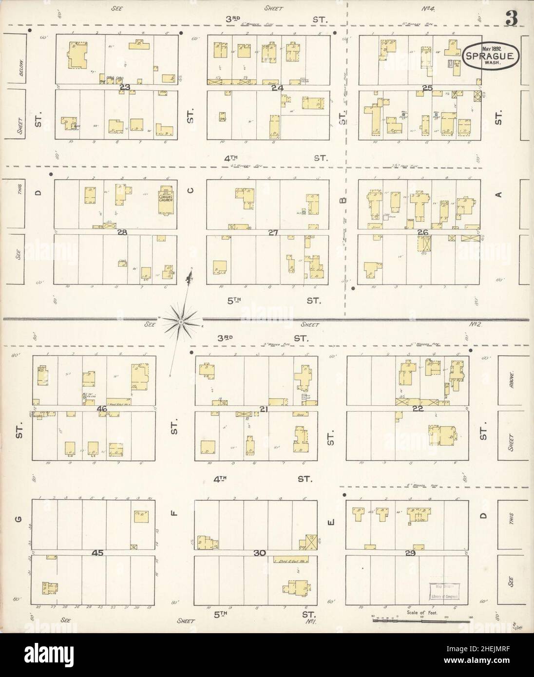 Sanborn Fire Insurance Map from Sprague, Lincoln County, Washington. Stock Photohttps://www.alamy.com/licenses-and-pricing/?v=1https://www.alamy.com/sanborn-fire-insurance-map-from-sprague-lincoln-county-washington-image456486227.html
RM2HEJMRF–Sanborn Fire Insurance Map from Sprague, Lincoln County, Washington.
 Map of Lincoln in Washington Stock Photohttps://www.alamy.com/licenses-and-pricing/?v=1https://www.alamy.com/map-of-lincoln-in-washington-image363873531.html
RF2C3YTB7–Map of Lincoln in Washington
 . Waltham suburban directory containing gerenal directories of the residents, business directories, town officers, etc. of Weston, Wayland, Cochituate and Lincoln, Mass. and a select business directory of Waltham, with a street map of Weston and a township map of Middlesex County . UBLISHING CO.60 WASHINGTON STREET,SALEM, MASS. Copyright 1911 by The Henry M. Meek Publishing Co. 18 CONTENTS. Boston, Mass., November 9, 1908.To Whom it May Concern:— This is to certify that I have sold my interest and good-willin the Waltham Surburban Directory to The Henry M. MeekPublishing Company of Salem, Mass Stock Photohttps://www.alamy.com/licenses-and-pricing/?v=1https://www.alamy.com/waltham-suburban-directory-containing-gerenal-directories-of-the-residents-business-directories-town-officers-etc-of-weston-wayland-cochituate-and-lincoln-mass-and-a-select-business-directory-of-waltham-with-a-street-map-of-weston-and-a-township-map-of-middlesex-county-ublishing-co60-washington-streetsalem-mass-copyright-1911-by-the-henry-m-meek-publishing-co-18-contents-boston-mass-november-9-1908to-whom-it-may-concern-this-is-to-certify-that-i-have-sold-my-interest-and-good-willin-the-waltham-surburban-directory-to-the-henry-m-meekpublishing-company-of-salem-mass-image376125178.html
RM2CRWYE2–. Waltham suburban directory containing gerenal directories of the residents, business directories, town officers, etc. of Weston, Wayland, Cochituate and Lincoln, Mass. and a select business directory of Waltham, with a street map of Weston and a township map of Middlesex County . UBLISHING CO.60 WASHINGTON STREET,SALEM, MASS. Copyright 1911 by The Henry M. Meek Publishing Co. 18 CONTENTS. Boston, Mass., November 9, 1908.To Whom it May Concern:— This is to certify that I have sold my interest and good-willin the Waltham Surburban Directory to The Henry M. MeekPublishing Company of Salem, Mass
 Map of Lincoln in Washington Stock Photohttps://www.alamy.com/licenses-and-pricing/?v=1https://www.alamy.com/map-of-lincoln-in-washington-image385773832.html
RF2DBHECT–Map of Lincoln in Washington
 Lincoln County, State of Washington (U.S. county, United States of America, USA, U.S., US) map vector illustration, scribble sketch Lincoln map Stock Vectorhttps://www.alamy.com/licenses-and-pricing/?v=1https://www.alamy.com/lincoln-county-state-of-washington-us-county-united-states-of-america-usa-us-us-map-vector-illustration-scribble-sketch-lincoln-map-image418999631.html
RF2F9K28F–Lincoln County, State of Washington (U.S. county, United States of America, USA, U.S., US) map vector illustration, scribble sketch Lincoln map
 Lincoln, Washington, map 1985, 1:24000, United States of America by Timeless Maps, data U.S. Geological Survey Stock Photohttps://www.alamy.com/licenses-and-pricing/?v=1https://www.alamy.com/lincoln-washington-map-1985-124000-united-states-of-america-by-timeless-maps-data-us-geological-survey-image407025710.html
RM2EJ5HCE–Lincoln, Washington, map 1985, 1:24000, United States of America by Timeless Maps, data U.S. Geological Survey
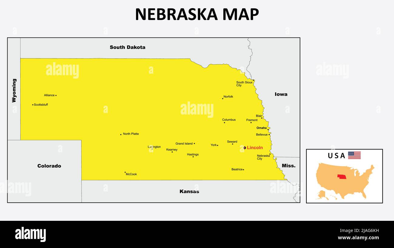 Nebraska Map. State and district map of Nebraska. Political map of Nebraska with the major district Stock Vectorhttps://www.alamy.com/licenses-and-pricing/?v=1https://www.alamy.com/nebraska-map-state-and-district-map-of-nebraska-political-map-of-nebraska-with-the-major-district-image471182981.html
RF2JAG6KH–Nebraska Map. State and district map of Nebraska. Political map of Nebraska with the major district
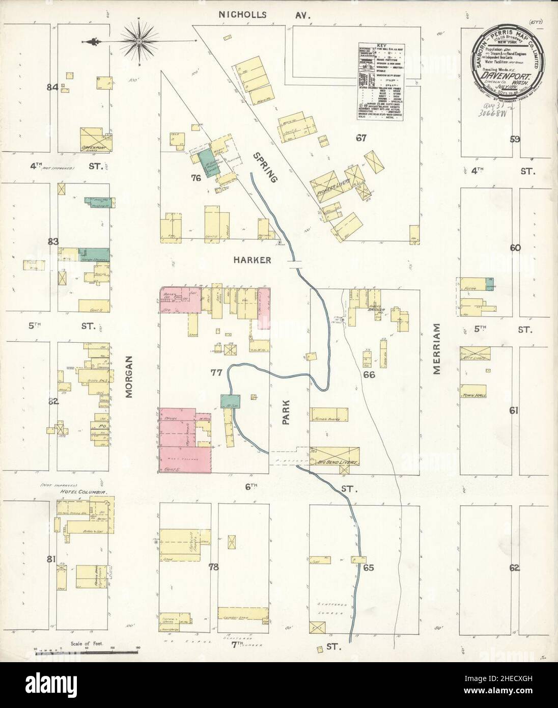 Sanborn Fire Insurance Map from Davenport, Lincoln County, Washington. Stock Photohttps://www.alamy.com/licenses-and-pricing/?v=1https://www.alamy.com/sanborn-fire-insurance-map-from-davenport-lincoln-county-washington-image456359025.html
RM2HECXGH–Sanborn Fire Insurance Map from Davenport, Lincoln County, Washington.
 Map of Lincoln in Washington Stock Photohttps://www.alamy.com/licenses-and-pricing/?v=1https://www.alamy.com/map-of-lincoln-in-washington-image359720429.html
RF2BW6K25–Map of Lincoln in Washington
 . The Waltham suburban directory for Weston, Wayland, Cochituate and Lincoln : containing an alphabetical list of the inhabitants and business firms, streets, town offices, societies, churches and other miscellaneous matter, also buyers' guides and a street map of West, Middlesex County . Free Information Library MAINTAINED BY The Henry M. Meek Publishing Co. 12 Washington Sq., (West) Salem, Mas3« Telephone 650 10. Charles L. Reade Funeral Undertaker Established 1873 REGISTERED EMBALMER Automobile Hearse and Equipment 22 Common Street Telephone WALTHAM J. EDWARD COOLIDGE GEORGE H. STRAUCH COOL Stock Photohttps://www.alamy.com/licenses-and-pricing/?v=1https://www.alamy.com/the-waltham-suburban-directory-for-weston-wayland-cochituate-and-lincoln-containing-an-alphabetical-list-of-the-inhabitants-and-business-firms-streets-town-offices-societies-churches-and-other-miscellaneous-matter-also-buyers-guides-and-a-street-map-of-west-middlesex-county-free-information-library-maintained-by-the-henry-m-meek-publishing-co-12-washington-sq-west-salem-mas3-telephone-650-10-charles-l-reade-funeral-undertaker-established-1873-registered-embalmer-automobile-hearse-and-equipment-22-common-street-telephone-waltham-j-edward-coolidge-george-h-strauch-cool-image374606244.html
RM2CNCP2C–. The Waltham suburban directory for Weston, Wayland, Cochituate and Lincoln : containing an alphabetical list of the inhabitants and business firms, streets, town offices, societies, churches and other miscellaneous matter, also buyers' guides and a street map of West, Middlesex County . Free Information Library MAINTAINED BY The Henry M. Meek Publishing Co. 12 Washington Sq., (West) Salem, Mas3« Telephone 650 10. Charles L. Reade Funeral Undertaker Established 1873 REGISTERED EMBALMER Automobile Hearse and Equipment 22 Common Street Telephone WALTHAM J. EDWARD COOLIDGE GEORGE H. STRAUCH COOL
 Map of Lincoln in Washington Stock Photohttps://www.alamy.com/licenses-and-pricing/?v=1https://www.alamy.com/map-of-lincoln-in-washington-image443962186.html
RF2GP868A–Map of Lincoln in Washington
 Lincoln County, State of Washington (U.S. county, United States of America, USA, U.S., US) map vector illustration, scribble sketch Lincoln map Stock Vectorhttps://www.alamy.com/licenses-and-pricing/?v=1https://www.alamy.com/lincoln-county-state-of-washington-us-county-united-states-of-america-usa-us-us-map-vector-illustration-scribble-sketch-lincoln-map-image398495587.html
RF2E49157–Lincoln County, State of Washington (U.S. county, United States of America, USA, U.S., US) map vector illustration, scribble sketch Lincoln map
 Lincoln, Washington, map 1948, 1:62500, United States of America by Timeless Maps, data U.S. Geological Survey Stock Photohttps://www.alamy.com/licenses-and-pricing/?v=1https://www.alamy.com/lincoln-washington-map-1948-162500-united-states-of-america-by-timeless-maps-data-us-geological-survey-image414290062.html
RM2F20F5J–Lincoln, Washington, map 1948, 1:62500, United States of America by Timeless Maps, data U.S. Geological Survey
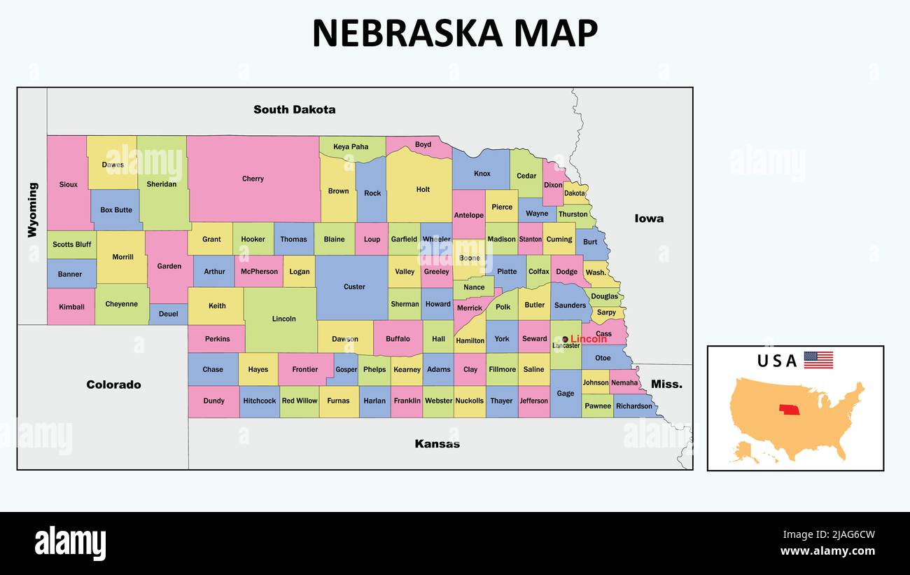 Nebraska Map. State and district map of Nebraska. Political map of Nebraska with neighboring countries and borders. Stock Vectorhttps://www.alamy.com/licenses-and-pricing/?v=1https://www.alamy.com/nebraska-map-state-and-district-map-of-nebraska-political-map-of-nebraska-with-neighboring-countries-and-borders-image471182793.html
RF2JAG6CW–Nebraska Map. State and district map of Nebraska. Political map of Nebraska with neighboring countries and borders.
 Sanborn Fire Insurance Map from Sprague, Lincoln County, Washington. Stock Photohttps://www.alamy.com/licenses-and-pricing/?v=1https://www.alamy.com/sanborn-fire-insurance-map-from-sprague-lincoln-county-washington-image456486243.html
RM2HEJMT3–Sanborn Fire Insurance Map from Sprague, Lincoln County, Washington.
 . The Waltham suburban directory for Weston, Wayland, Cochituate and Lincoln : containing an alphabetical list of the inhabitants and business firms, streets, town offices, societies, churches and other miscellaneous matter, also buyers' guides and a street map of West, Middlesex County . HENRY M. MEEK PUBLISHING CO. 12 Washington Square, Salem, Mass.Price - - $4.00 Copynght 1919 by Alice R, Meek Waltham Coal Co. Beaver Brook Coal Telephone 116 Office : 633 Main Street, Waltham 3iQBSeQQQeQBQQQQQQSBSBSQSBSE3esraSQQQSQQQE3e YOU Could Not Stand theStrain of Working NIGHT and DAY FOR 365 DAYS But Stock Photohttps://www.alamy.com/licenses-and-pricing/?v=1https://www.alamy.com/the-waltham-suburban-directory-for-weston-wayland-cochituate-and-lincoln-containing-an-alphabetical-list-of-the-inhabitants-and-business-firms-streets-town-offices-societies-churches-and-other-miscellaneous-matter-also-buyers-guides-and-a-street-map-of-west-middlesex-county-henry-m-meek-publishing-co-12-washington-square-salem-massprice-400-copynght-1919-by-alice-r-meek-waltham-coal-co-beaver-brook-coal-telephone-116-office-633-main-street-waltham-3iqbseqqqeqbqqqqqqsbsbsqsbse3esrasqqqsqqqe3e-you-could-not-stand-thestrain-of-working-night-and-day-for-365-days-but-image374606264.html
RM2CNCP34–. The Waltham suburban directory for Weston, Wayland, Cochituate and Lincoln : containing an alphabetical list of the inhabitants and business firms, streets, town offices, societies, churches and other miscellaneous matter, also buyers' guides and a street map of West, Middlesex County . HENRY M. MEEK PUBLISHING CO. 12 Washington Square, Salem, Mass.Price - - $4.00 Copynght 1919 by Alice R, Meek Waltham Coal Co. Beaver Brook Coal Telephone 116 Office : 633 Main Street, Waltham 3iQBSeQQQeQBQQQQQQSBSBSQSBSE3esraSQQQSQQQE3e YOU Could Not Stand theStrain of Working NIGHT and DAY FOR 365 DAYS But
 Lincoln, Washington, map 1948, 1:62500, United States of America by Timeless Maps, data U.S. Geological Survey Stock Photohttps://www.alamy.com/licenses-and-pricing/?v=1https://www.alamy.com/lincoln-washington-map-1948-162500-united-states-of-america-by-timeless-maps-data-us-geological-survey-image414290057.html
RM2F20F5D–Lincoln, Washington, map 1948, 1:62500, United States of America by Timeless Maps, data U.S. Geological Survey
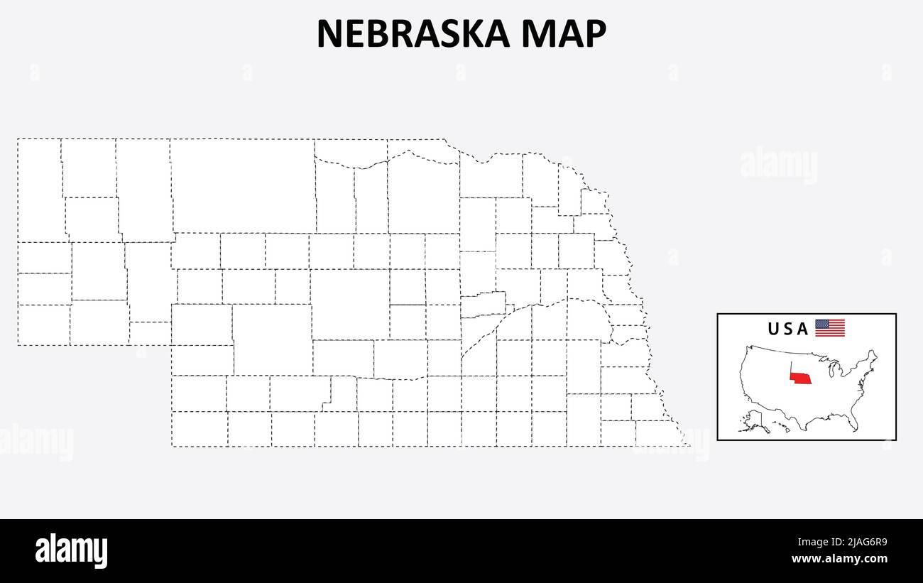 Nebraska Map. State and district map of Nebraska. Political map of Nebraska with outline and black and white design. Stock Vectorhttps://www.alamy.com/licenses-and-pricing/?v=1https://www.alamy.com/nebraska-map-state-and-district-map-of-nebraska-political-map-of-nebraska-with-outline-and-black-and-white-design-image471183085.html
RF2JAG6R9–Nebraska Map. State and district map of Nebraska. Political map of Nebraska with outline and black and white design.
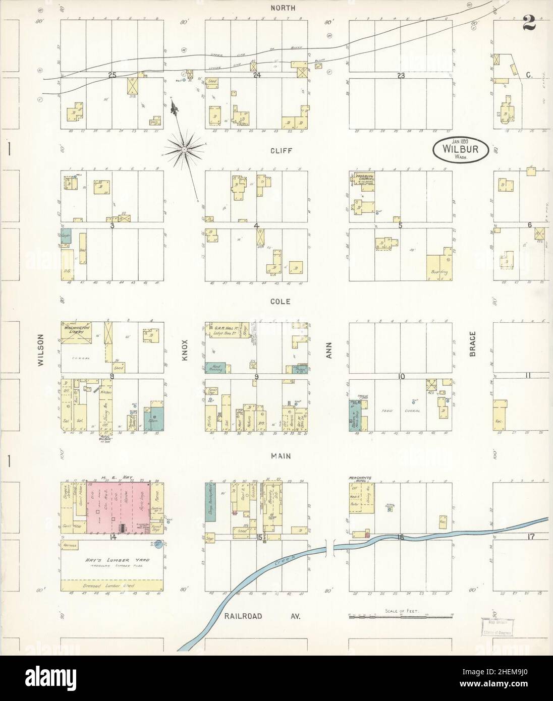 Sanborn Fire Insurance Map from Wilbur, Lincoln County, Washington. Stock Photohttps://www.alamy.com/licenses-and-pricing/?v=1https://www.alamy.com/sanborn-fire-insurance-map-from-wilbur-lincoln-county-washington-image456521352.html
RM2HEM9J0–Sanborn Fire Insurance Map from Wilbur, Lincoln County, Washington.
 . P.J. Hannifan & Co.'s new commercial railroad and county map of New Yort State and gazetteer .. . t three electorals for Lincoln, and four for Douglas. The inaugurationof Abraham Lincoln, as President, and Hannibal Hamlin, as Vice-Presi-dent of the United States, took place at Washington, D. C, March 4, 1861, notwithstanding fears of violence. Republican National Convention, held at Baltimore, June 7, 1864,nominated Abraham Lincoln, of Illinois, for President, and AndrewJohnson, of Tennessee, for Vice-President. It took a decided stand andopposed any compromise upon the question of the rebel Stock Photohttps://www.alamy.com/licenses-and-pricing/?v=1https://www.alamy.com/pj-hannifan-cos-new-commercial-railroad-and-county-map-of-new-yort-state-and-gazetteer-t-three-electorals-for-lincoln-and-four-for-douglas-the-inaugurationof-abraham-lincoln-as-president-and-hannibal-hamlin-as-vice-presi-dent-of-the-united-states-took-place-at-washington-d-c-march-4-1861-notwithstanding-fears-of-violence-republican-national-convention-held-at-baltimore-june-7-1864nominated-abraham-lincoln-of-illinois-for-president-and-andrewjohnson-of-tennessee-for-vice-president-it-took-a-decided-stand-andopposed-any-compromise-upon-the-question-of-the-rebel-image375441418.html
RM2CPPRA2–. P.J. Hannifan & Co.'s new commercial railroad and county map of New Yort State and gazetteer .. . t three electorals for Lincoln, and four for Douglas. The inaugurationof Abraham Lincoln, as President, and Hannibal Hamlin, as Vice-Presi-dent of the United States, took place at Washington, D. C, March 4, 1861, notwithstanding fears of violence. Republican National Convention, held at Baltimore, June 7, 1864,nominated Abraham Lincoln, of Illinois, for President, and AndrewJohnson, of Tennessee, for Vice-President. It took a decided stand andopposed any compromise upon the question of the rebel
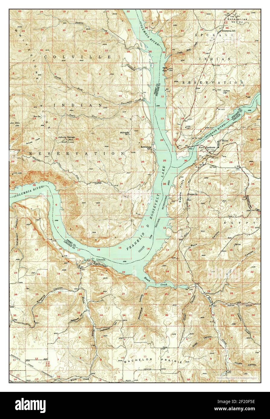 Lincoln, Washington, map 1950, 1:62500, United States of America by Timeless Maps, data U.S. Geological Survey Stock Photohttps://www.alamy.com/licenses-and-pricing/?v=1https://www.alamy.com/lincoln-washington-map-1950-162500-united-states-of-america-by-timeless-maps-data-us-geological-survey-image414290058.html
RM2F20F5E–Lincoln, Washington, map 1950, 1:62500, United States of America by Timeless Maps, data U.S. Geological Survey
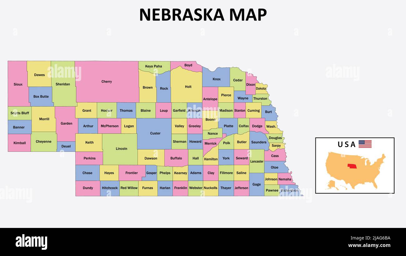 Nebraska Map. District map of Nebraska in 2020. District map of Nebraska in color with capital. Stock Vectorhttps://www.alamy.com/licenses-and-pricing/?v=1https://www.alamy.com/nebraska-map-district-map-of-nebraska-in-2020-district-map-of-nebraska-in-color-with-capital-image471182750.html
RF2JAG6BA–Nebraska Map. District map of Nebraska in 2020. District map of Nebraska in color with capital.
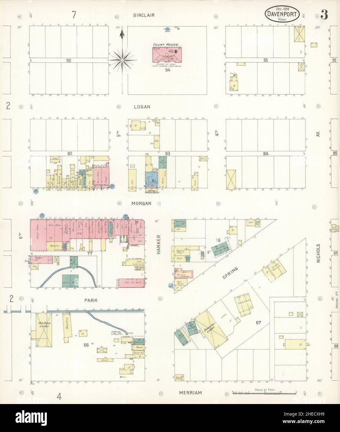 Sanborn Fire Insurance Map from Davenport, Lincoln County, Washington. Stock Photohttps://www.alamy.com/licenses-and-pricing/?v=1https://www.alamy.com/sanborn-fire-insurance-map-from-davenport-lincoln-county-washington-image456359045.html
RM2HECXH9–Sanborn Fire Insurance Map from Davenport, Lincoln County, Washington.
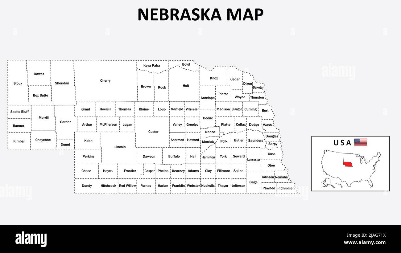 Nebraska Map. State and district map of Nebraska. Administrative map of Nebraska with district and capital in white color. Stock Vectorhttps://www.alamy.com/licenses-and-pricing/?v=1https://www.alamy.com/nebraska-map-state-and-district-map-of-nebraska-administrative-map-of-nebraska-with-district-and-capital-in-white-color-image471183270.html
RF2JAG71X–Nebraska Map. State and district map of Nebraska. Administrative map of Nebraska with district and capital in white color.
 Sanborn Fire Insurance Map from Sprague, Lincoln County, Washington. Stock Photohttps://www.alamy.com/licenses-and-pricing/?v=1https://www.alamy.com/sanborn-fire-insurance-map-from-sprague-lincoln-county-washington-image456486231.html
RM2HEJMRK–Sanborn Fire Insurance Map from Sprague, Lincoln County, Washington.
 Sanborn Fire Insurance Map from Davenport, Lincoln County, Washington. Stock Photohttps://www.alamy.com/licenses-and-pricing/?v=1https://www.alamy.com/sanborn-fire-insurance-map-from-davenport-lincoln-county-washington-image456359009.html
RM2HECXG1–Sanborn Fire Insurance Map from Davenport, Lincoln County, Washington.
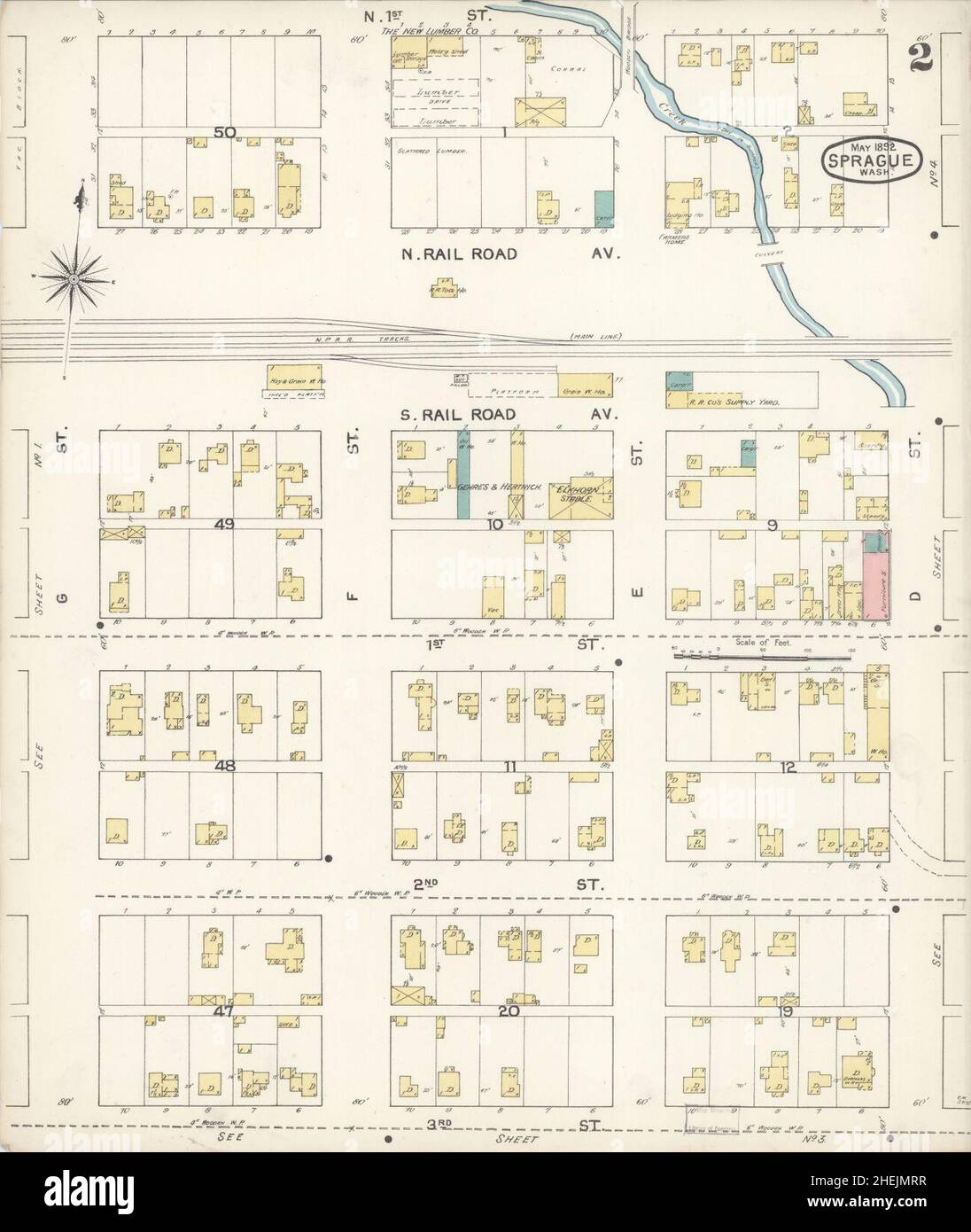 Sanborn Fire Insurance Map from Sprague, Lincoln County, Washington. Stock Photohttps://www.alamy.com/licenses-and-pricing/?v=1https://www.alamy.com/sanborn-fire-insurance-map-from-sprague-lincoln-county-washington-image456486235.html
RM2HEJMRR–Sanborn Fire Insurance Map from Sprague, Lincoln County, Washington.
 Sanborn Fire Insurance Map from Davenport, Lincoln County, Washington. Stock Photohttps://www.alamy.com/licenses-and-pricing/?v=1https://www.alamy.com/sanborn-fire-insurance-map-from-davenport-lincoln-county-washington-image456359011.html
RM2HECXG3–Sanborn Fire Insurance Map from Davenport, Lincoln County, Washington.
 Sanborn Fire Insurance Map from Sprague, Lincoln County, Washington. Stock Photohttps://www.alamy.com/licenses-and-pricing/?v=1https://www.alamy.com/sanborn-fire-insurance-map-from-sprague-lincoln-county-washington-image456486222.html
RM2HEJMRA–Sanborn Fire Insurance Map from Sprague, Lincoln County, Washington.
 Sanborn Fire Insurance Map from Davenport, Lincoln County, Washington. Stock Photohttps://www.alamy.com/licenses-and-pricing/?v=1https://www.alamy.com/sanborn-fire-insurance-map-from-davenport-lincoln-county-washington-image456359039.html
RM2HECXH3–Sanborn Fire Insurance Map from Davenport, Lincoln County, Washington.
 Sanborn Fire Insurance Map from Sprague, Lincoln County, Washington. Stock Photohttps://www.alamy.com/licenses-and-pricing/?v=1https://www.alamy.com/sanborn-fire-insurance-map-from-sprague-lincoln-county-washington-image456486241.html
RM2HEJMT1–Sanborn Fire Insurance Map from Sprague, Lincoln County, Washington.
 Sanborn Fire Insurance Map from Davenport, Lincoln County, Washington. Stock Photohttps://www.alamy.com/licenses-and-pricing/?v=1https://www.alamy.com/sanborn-fire-insurance-map-from-davenport-lincoln-county-washington-image456359033.html
RM2HECXGW–Sanborn Fire Insurance Map from Davenport, Lincoln County, Washington.
 Sanborn Fire Insurance Map from Sprague, Lincoln County, Washington. Stock Photohttps://www.alamy.com/licenses-and-pricing/?v=1https://www.alamy.com/sanborn-fire-insurance-map-from-sprague-lincoln-county-washington-image456486225.html
RM2HEJMRD–Sanborn Fire Insurance Map from Sprague, Lincoln County, Washington.
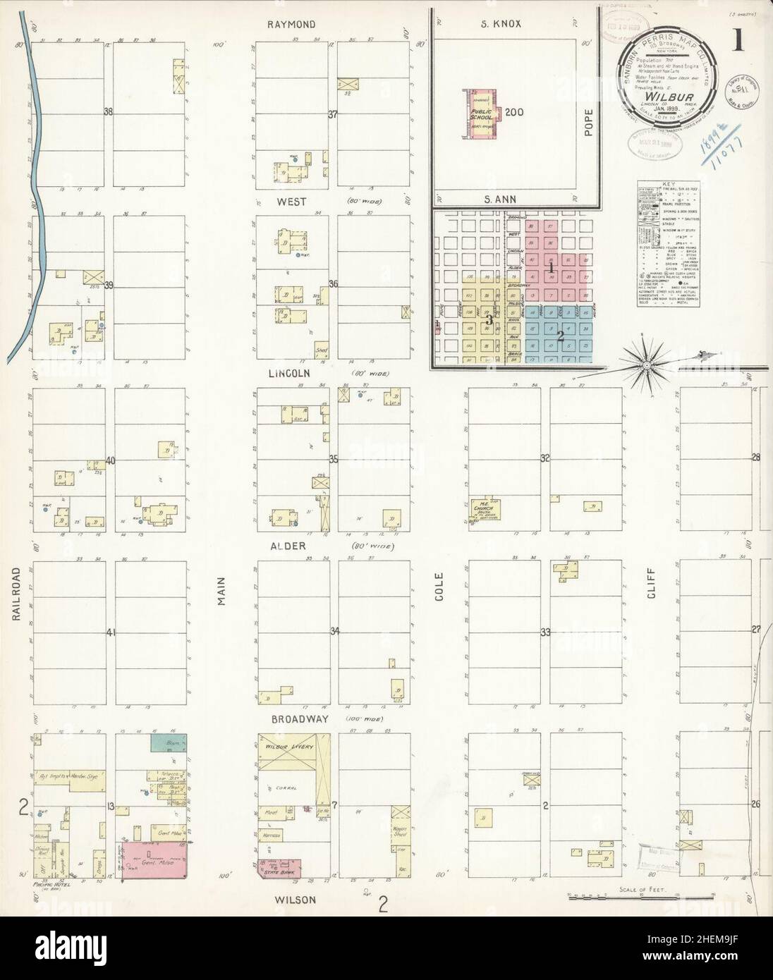 Sanborn Fire Insurance Map from Wilbur, Lincoln County, Washington. Stock Photohttps://www.alamy.com/licenses-and-pricing/?v=1https://www.alamy.com/sanborn-fire-insurance-map-from-wilbur-lincoln-county-washington-image456521367.html
RM2HEM9JF–Sanborn Fire Insurance Map from Wilbur, Lincoln County, Washington.
 Sanborn Fire Insurance Map from Sprague, Lincoln County, Washington. Stock Photohttps://www.alamy.com/licenses-and-pricing/?v=1https://www.alamy.com/sanborn-fire-insurance-map-from-sprague-lincoln-county-washington-image456486230.html
RM2HEJMRJ–Sanborn Fire Insurance Map from Sprague, Lincoln County, Washington.
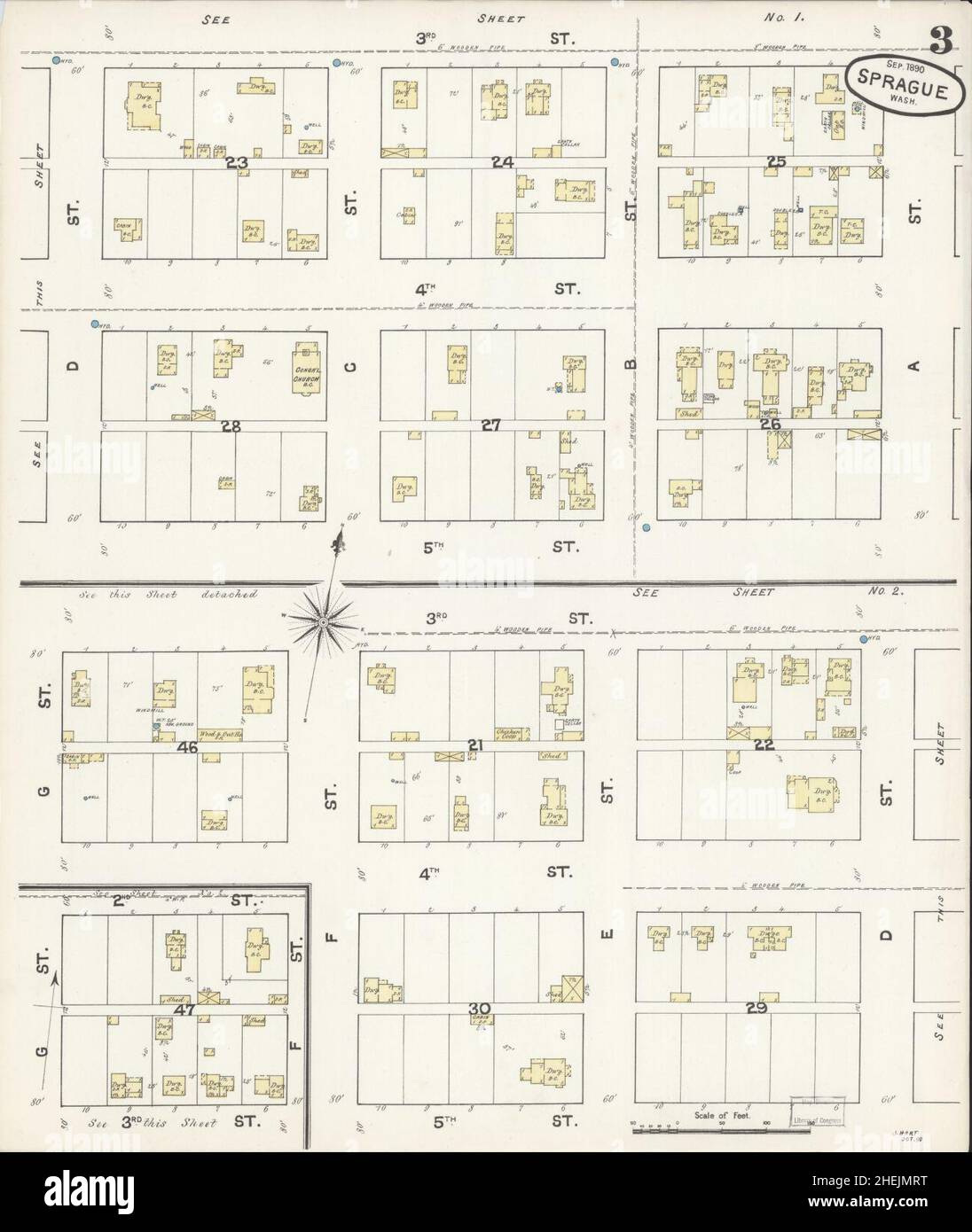 Sanborn Fire Insurance Map from Sprague, Lincoln County, Washington. Stock Photohttps://www.alamy.com/licenses-and-pricing/?v=1https://www.alamy.com/sanborn-fire-insurance-map-from-sprague-lincoln-county-washington-image456486236.html
RM2HEJMRT–Sanborn Fire Insurance Map from Sprague, Lincoln County, Washington.
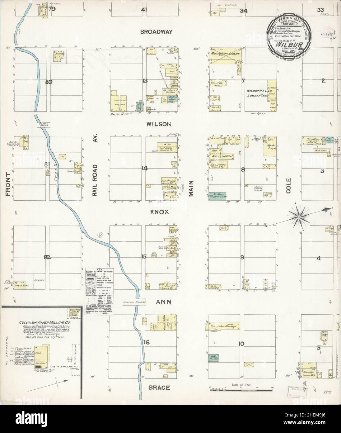 Sanborn Fire Insurance Map from Wilbur, Lincoln County, Washington. Stock Photohttps://www.alamy.com/licenses-and-pricing/?v=1https://www.alamy.com/sanborn-fire-insurance-map-from-wilbur-lincoln-county-washington-image456521358.html
RM2HEM9J6–Sanborn Fire Insurance Map from Wilbur, Lincoln County, Washington.
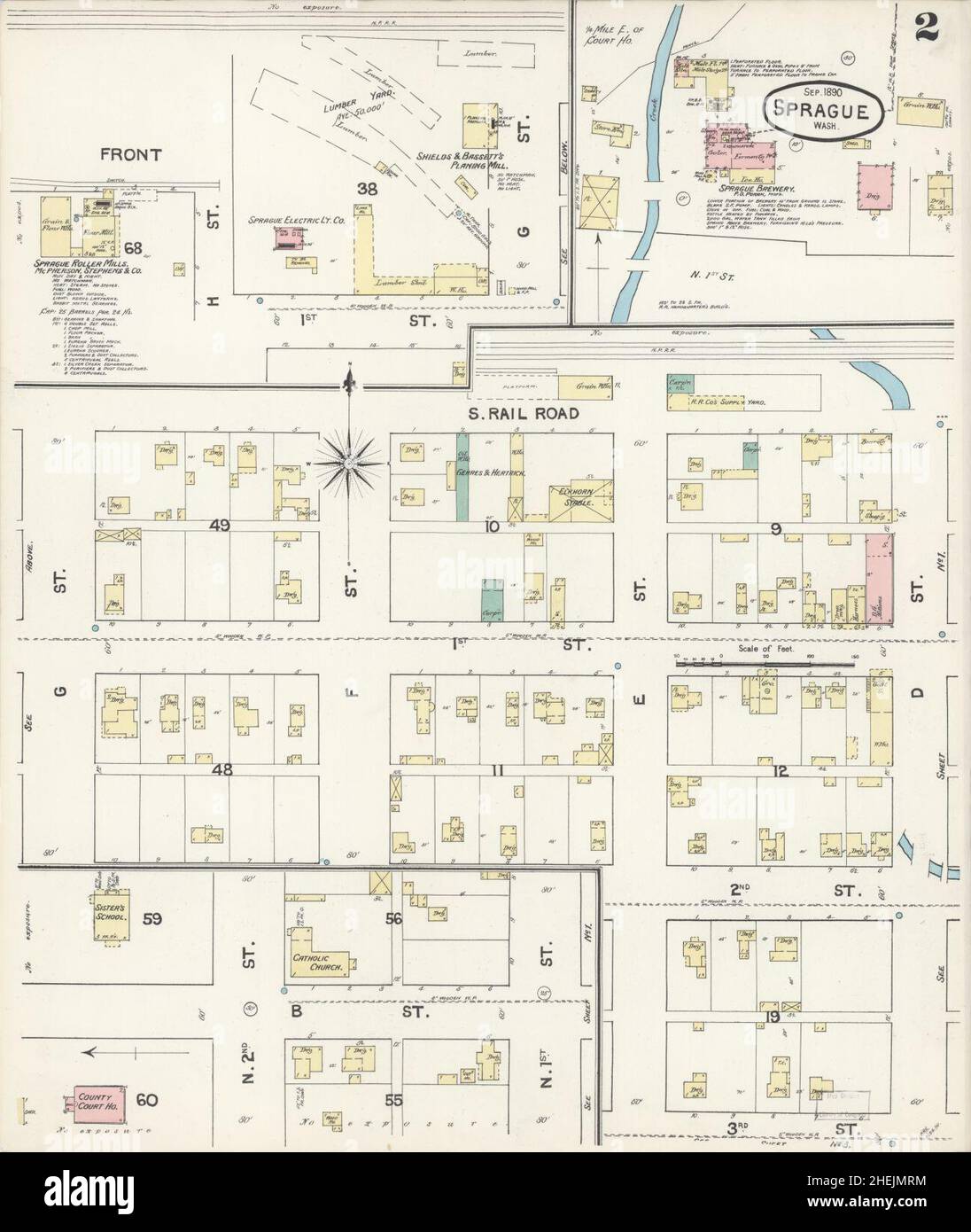 Sanborn Fire Insurance Map from Sprague, Lincoln County, Washington. Stock Photohttps://www.alamy.com/licenses-and-pricing/?v=1https://www.alamy.com/sanborn-fire-insurance-map-from-sprague-lincoln-county-washington-image456486232.html
RM2HEJMRM–Sanborn Fire Insurance Map from Sprague, Lincoln County, Washington.
 Sanborn Fire Insurance Map from Davenport, Lincoln County, Washington. Stock Photohttps://www.alamy.com/licenses-and-pricing/?v=1https://www.alamy.com/sanborn-fire-insurance-map-from-davenport-lincoln-county-washington-image456359022.html
RM2HECXGE–Sanborn Fire Insurance Map from Davenport, Lincoln County, Washington.
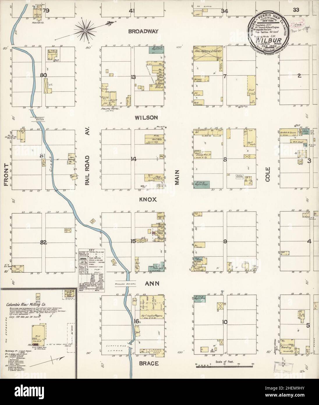 Sanborn Fire Insurance Map from Wilbur, Lincoln County, Washington. Stock Photohttps://www.alamy.com/licenses-and-pricing/?v=1https://www.alamy.com/sanborn-fire-insurance-map-from-wilbur-lincoln-county-washington-image456521351.html
RM2HEM9HY–Sanborn Fire Insurance Map from Wilbur, Lincoln County, Washington.
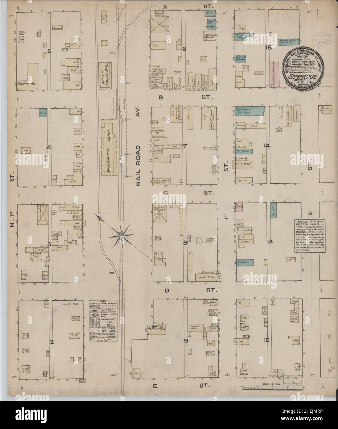 Sanborn Fire Insurance Map from Sprague, Lincoln County, Washington. Stock Photohttps://www.alamy.com/licenses-and-pricing/?v=1https://www.alamy.com/sanborn-fire-insurance-map-from-sprague-lincoln-county-washington-image456486234.html
RM2HEJMRP–Sanborn Fire Insurance Map from Sprague, Lincoln County, Washington.
 Sanborn Fire Insurance Map from Davenport, Lincoln County, Washington. Stock Photohttps://www.alamy.com/licenses-and-pricing/?v=1https://www.alamy.com/sanborn-fire-insurance-map-from-davenport-lincoln-county-washington-image456359043.html
RM2HECXH7–Sanborn Fire Insurance Map from Davenport, Lincoln County, Washington.
 Sanborn Fire Insurance Map from Sprague, Lincoln County, Washington. Stock Photohttps://www.alamy.com/licenses-and-pricing/?v=1https://www.alamy.com/sanborn-fire-insurance-map-from-sprague-lincoln-county-washington-image456486239.html
RM2HEJMRY–Sanborn Fire Insurance Map from Sprague, Lincoln County, Washington.
 Sanborn Fire Insurance Map from Davenport, Lincoln County, Washington. Stock Photohttps://www.alamy.com/licenses-and-pricing/?v=1https://www.alamy.com/sanborn-fire-insurance-map-from-davenport-lincoln-county-washington-image456359038.html
RM2HECXH2–Sanborn Fire Insurance Map from Davenport, Lincoln County, Washington.
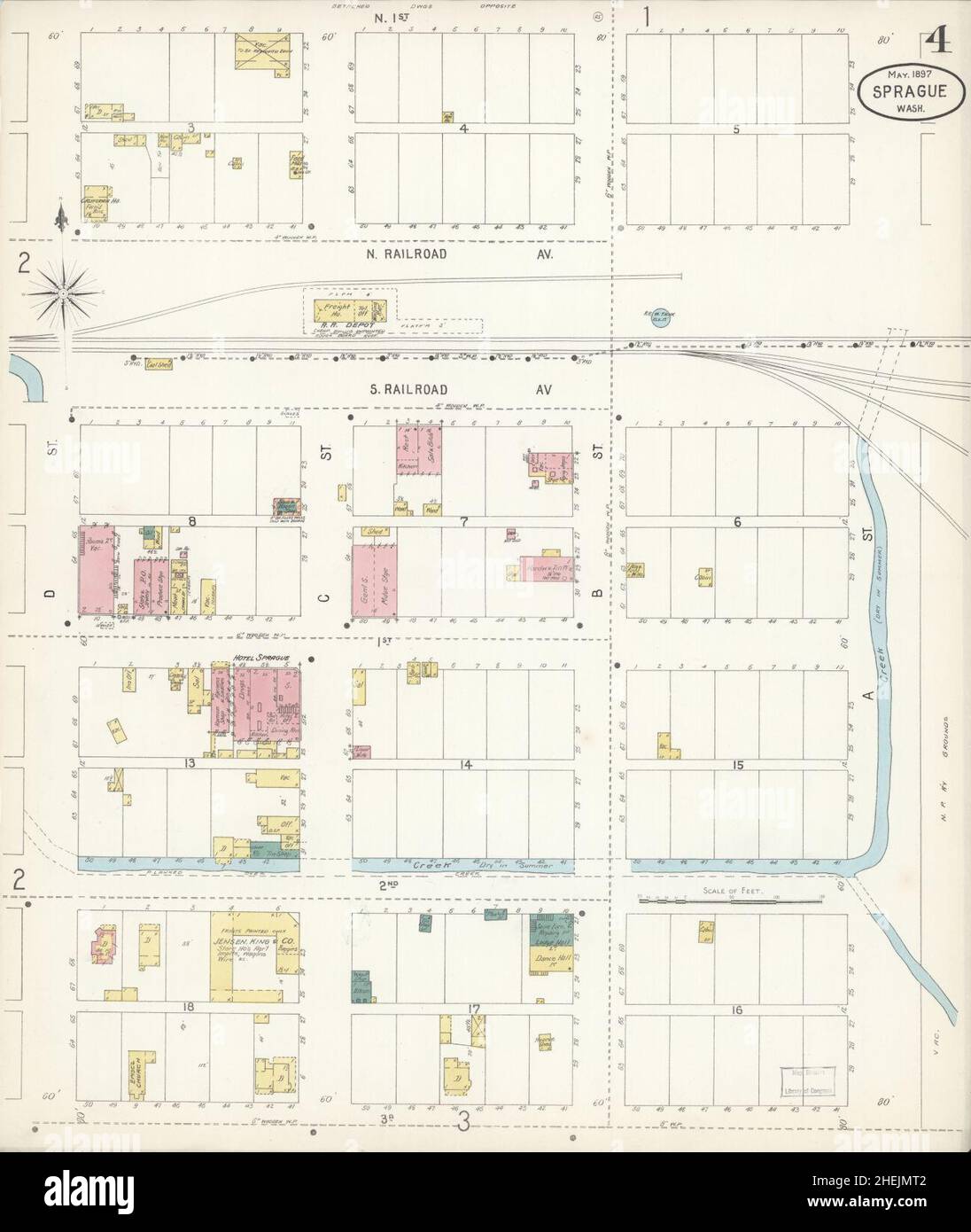 Sanborn Fire Insurance Map from Sprague, Lincoln County, Washington. Stock Photohttps://www.alamy.com/licenses-and-pricing/?v=1https://www.alamy.com/sanborn-fire-insurance-map-from-sprague-lincoln-county-washington-image456486242.html
RM2HEJMT2–Sanborn Fire Insurance Map from Sprague, Lincoln County, Washington.
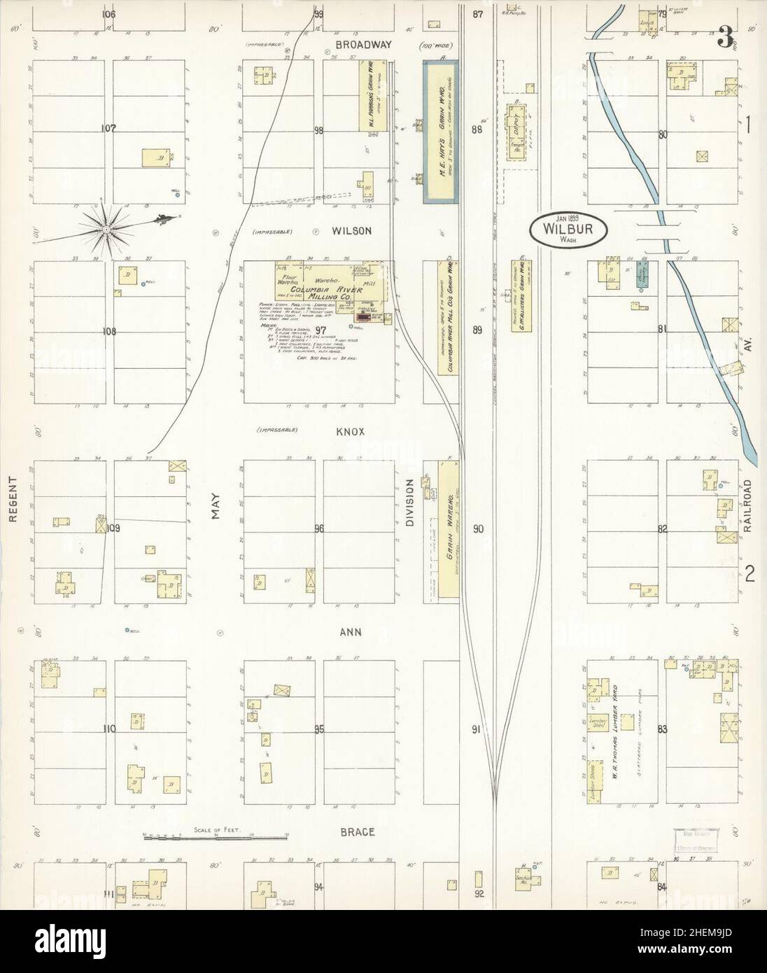 Sanborn Fire Insurance Map from Wilbur, Lincoln County, Washington. Stock Photohttps://www.alamy.com/licenses-and-pricing/?v=1https://www.alamy.com/sanborn-fire-insurance-map-from-wilbur-lincoln-county-washington-image456521365.html
RM2HEM9JD–Sanborn Fire Insurance Map from Wilbur, Lincoln County, Washington.
 Sanborn Fire Insurance Map from Sprague, Lincoln County, Washington. Stock Photohttps://www.alamy.com/licenses-and-pricing/?v=1https://www.alamy.com/sanborn-fire-insurance-map-from-sprague-lincoln-county-washington-image456486226.html
RM2HEJMRE–Sanborn Fire Insurance Map from Sprague, Lincoln County, Washington.
Search Results for Lincoln county washington map Stock Photos and Images (72)
Page 1 of 1