Quick filters:
A z road atlas Stock Photos and Images
 Metal ring binding on a local street guide. EDITORIAL ONLY Stock Photohttps://www.alamy.com/image-license-details/?v=1https://www.alamy.com/stock-photo-metal-ring-binding-on-a-local-street-guide-editorial-only-34993459.html
RMC0X2EB–Metal ring binding on a local street guide. EDITORIAL ONLY
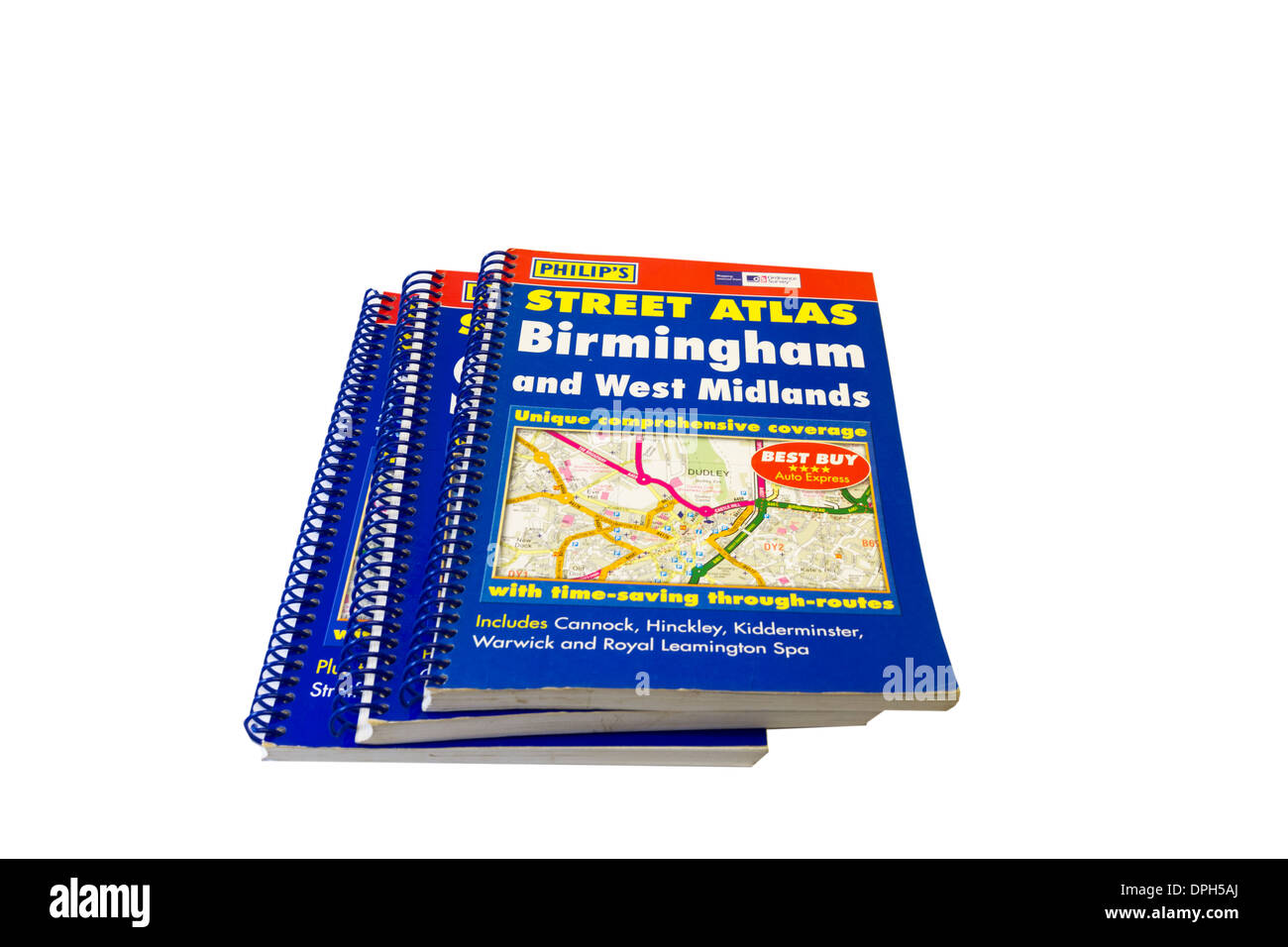 A to Z street maps for major towns in the UK Stock Photohttps://www.alamy.com/image-license-details/?v=1https://www.alamy.com/a-to-z-street-maps-for-major-towns-in-the-uk-image65530938.html
RMDPH5AJ–A to Z street maps for major towns in the UK
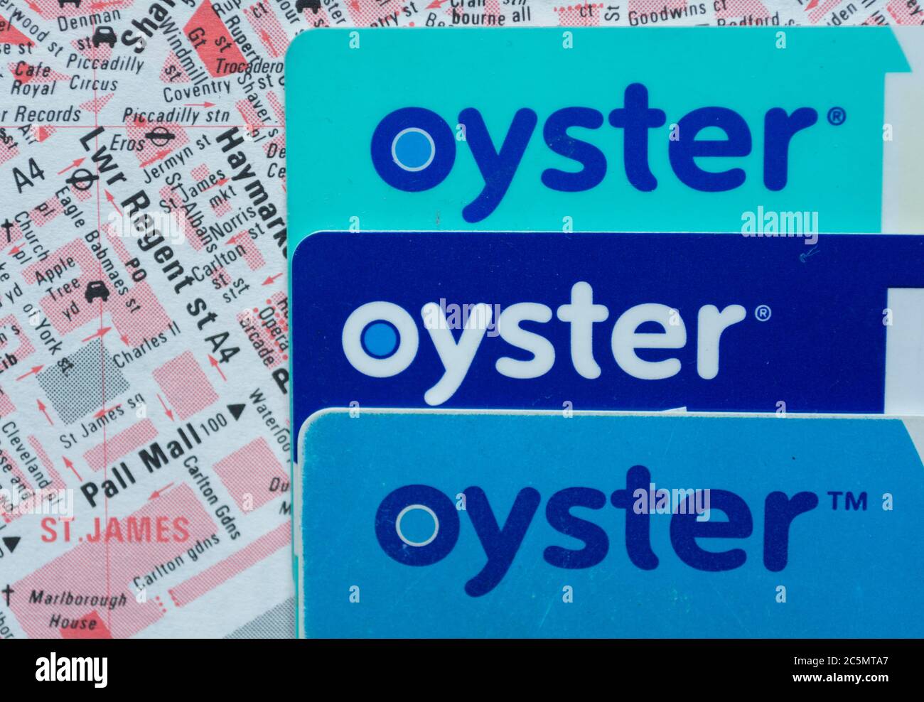 Closeup of Transport for London (TFL) Oyster Cards sitting on top of a London A-Z street finder Stock Photohttps://www.alamy.com/image-license-details/?v=1https://www.alamy.com/closeup-of-transport-for-london-tfl-oyster-cards-sitting-on-top-of-a-london-a-z-street-finder-image364949151.html
RM2C5MTA7–Closeup of Transport for London (TFL) Oyster Cards sitting on top of a London A-Z street finder
 road arrow sign on Mull, Scotland Stock Photohttps://www.alamy.com/image-license-details/?v=1https://www.alamy.com/road-arrow-sign-on-mull-scotland-image62076985.html
RFDGYRR5–road arrow sign on Mull, Scotland
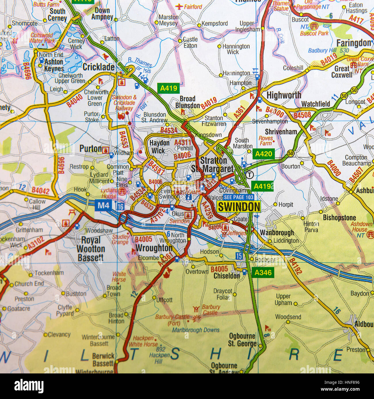 Map of Swindon and surrounding areas. Stock Photohttps://www.alamy.com/image-license-details/?v=1https://www.alamy.com/stock-photo-map-of-swindon-and-surrounding-areas-133716162.html
RMHNF896–Map of Swindon and surrounding areas.
 A to Z London UK Stock Photohttps://www.alamy.com/image-license-details/?v=1https://www.alamy.com/stock-photo-a-to-z-london-uk-13623990.html
RMAEAP7K–A to Z London UK
 Close-up of a pin marking the location of the seaside town of Penzance in Cornwall, on a map of the United Kingdom. Stock Photohttps://www.alamy.com/image-license-details/?v=1https://www.alamy.com/close-up-of-a-pin-marking-the-location-of-the-seaside-town-of-penzance-in-cornwall-on-a-map-of-the-united-kingdom-image340640938.html
RF2AP5EYP–Close-up of a pin marking the location of the seaside town of Penzance in Cornwall, on a map of the United Kingdom.
 Collins Road Atlas of Britain hans inside BABS cafe. Retford, Nottinghamshire. Stock Photohttps://www.alamy.com/image-license-details/?v=1https://www.alamy.com/collins-road-atlas-of-britain-hans-inside-babs-cafe-retford-nottinghamshire-image386269247.html
RF2DCC2A7–Collins Road Atlas of Britain hans inside BABS cafe. Retford, Nottinghamshire.
 Nuova Z.A.I., Provincia di Verona, IT, Italy, Veneto, N 45 13' 40'', N 11 14' 29'', map, Cartascapes Map published in 2024. Explore Cartascapes, a map revealing Earth's diverse landscapes, cultures, and ecosystems. Journey through time and space, discovering the interconnectedness of our planet's past, present, and future. Stock Photohttps://www.alamy.com/image-license-details/?v=1https://www.alamy.com/nuova-zai-provincia-di-verona-it-italy-veneto-n-45-13-40-n-11-14-29-map-cartascapes-map-published-in-2024-explore-cartascapes-a-map-revealing-earths-diverse-landscapes-cultures-and-ecosystems-journey-through-time-and-space-discovering-the-interconnectedness-of-our-planets-past-present-and-future-image614634931.html
RM2XKY13F–Nuova Z.A.I., Provincia di Verona, IT, Italy, Veneto, N 45 13' 40'', N 11 14' 29'', map, Cartascapes Map published in 2024. Explore Cartascapes, a map revealing Earth's diverse landscapes, cultures, and ecosystems. Journey through time and space, discovering the interconnectedness of our planet's past, present, and future.
 Man lost in the dark as he doesn’t have satellite navigation Stock Photohttps://www.alamy.com/image-license-details/?v=1https://www.alamy.com/stock-photo-man-lost-in-the-dark-as-he-doesnt-have-satellite-navigation-15608458.html
RMANWMBR–Man lost in the dark as he doesn’t have satellite navigation
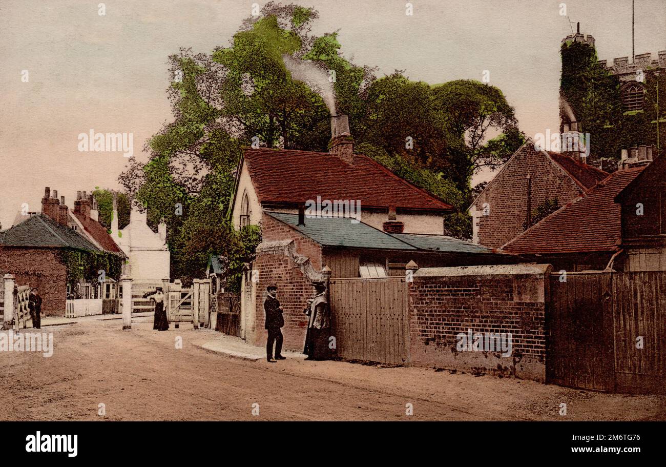 Barnet church rd and hadley gate 1907 Stock Photohttps://www.alamy.com/image-license-details/?v=1https://www.alamy.com/barnet-church-rd-and-hadley-gate-1907-image503328202.html
RM2M6TG76–Barnet church rd and hadley gate 1907
![. The Bulletin of zoological nomenclature. Animals. Bulletin of Zoological Nomenclature 60(2) June 2003 123 Weitschat, W. & Wichard, W. 2002. Atlas of plants ami aninuils in Baltic Amber. 256 pp. Friedrich Pfeil, Munich. Wilson, E.O. 1971. The insect societies, x, [I], 548 pp. Harvard University Press, Cambridge, U.S.A. Acknowledgement of receipt of this application was published in BZN 59: 161. Comments on this case are invited for publication (subject to editing) in the Bulletin: they should be sent to the Executive Secretary, I.C.Z.N., c/o The Natural History Museum, Cromwell Road, Lond Stock Photo . The Bulletin of zoological nomenclature. Animals. Bulletin of Zoological Nomenclature 60(2) June 2003 123 Weitschat, W. & Wichard, W. 2002. Atlas of plants ami aninuils in Baltic Amber. 256 pp. Friedrich Pfeil, Munich. Wilson, E.O. 1971. The insect societies, x, [I], 548 pp. Harvard University Press, Cambridge, U.S.A. Acknowledgement of receipt of this application was published in BZN 59: 161. Comments on this case are invited for publication (subject to editing) in the Bulletin: they should be sent to the Executive Secretary, I.C.Z.N., c/o The Natural History Museum, Cromwell Road, Lond Stock Photo](https://c8.alamy.com/comp/RGB4FC/the-bulletin-of-zoological-nomenclature-animals-bulletin-of-zoological-nomenclature-602-june-2003-123-weitschat-w-amp-wichard-w-2002-atlas-of-plants-ami-aninuils-in-baltic-amber-256-pp-friedrich-pfeil-munich-wilson-eo-1971-the-insect-societies-x-i-548-pp-harvard-university-press-cambridge-usa-acknowledgement-of-receipt-of-this-application-was-published-in-bzn-59-161-comments-on-this-case-are-invited-for-publication-subject-to-editing-in-the-bulletin-they-should-be-sent-to-the-executive-secretary-iczn-co-the-natural-history-museum-cromwell-road-lond-RGB4FC.jpg) . The Bulletin of zoological nomenclature. Animals. Bulletin of Zoological Nomenclature 60(2) June 2003 123 Weitschat, W. & Wichard, W. 2002. Atlas of plants ami aninuils in Baltic Amber. 256 pp. Friedrich Pfeil, Munich. Wilson, E.O. 1971. The insect societies, x, [I], 548 pp. Harvard University Press, Cambridge, U.S.A. Acknowledgement of receipt of this application was published in BZN 59: 161. Comments on this case are invited for publication (subject to editing) in the Bulletin: they should be sent to the Executive Secretary, I.C.Z.N., c/o The Natural History Museum, Cromwell Road, Lond Stock Photohttps://www.alamy.com/image-license-details/?v=1https://www.alamy.com/the-bulletin-of-zoological-nomenclature-animals-bulletin-of-zoological-nomenclature-602-june-2003-123-weitschat-w-amp-wichard-w-2002-atlas-of-plants-ami-aninuils-in-baltic-amber-256-pp-friedrich-pfeil-munich-wilson-eo-1971-the-insect-societies-x-i-548-pp-harvard-university-press-cambridge-usa-acknowledgement-of-receipt-of-this-application-was-published-in-bzn-59-161-comments-on-this-case-are-invited-for-publication-subject-to-editing-in-the-bulletin-they-should-be-sent-to-the-executive-secretary-iczn-co-the-natural-history-museum-cromwell-road-lond-image233814320.html
. The Bulletin of zoological nomenclature. Animals. Bulletin of Zoological Nomenclature 60(2) June 2003 123 Weitschat, W. & Wichard, W. 2002. Atlas of plants ami aninuils in Baltic Amber. 256 pp. Friedrich Pfeil, Munich. Wilson, E.O. 1971. The insect societies, x, [I], 548 pp. Harvard University Press, Cambridge, U.S.A. Acknowledgement of receipt of this application was published in BZN 59: 161. Comments on this case are invited for publication (subject to editing) in the Bulletin: they should be sent to the Executive Secretary, I.C.Z.N., c/o The Natural History Museum, Cromwell Road, Lond Stock Photohttps://www.alamy.com/image-license-details/?v=1https://www.alamy.com/the-bulletin-of-zoological-nomenclature-animals-bulletin-of-zoological-nomenclature-602-june-2003-123-weitschat-w-amp-wichard-w-2002-atlas-of-plants-ami-aninuils-in-baltic-amber-256-pp-friedrich-pfeil-munich-wilson-eo-1971-the-insect-societies-x-i-548-pp-harvard-university-press-cambridge-usa-acknowledgement-of-receipt-of-this-application-was-published-in-bzn-59-161-comments-on-this-case-are-invited-for-publication-subject-to-editing-in-the-bulletin-they-should-be-sent-to-the-executive-secretary-iczn-co-the-natural-history-museum-cromwell-road-lond-image233814320.htmlRMRGB4FC–. The Bulletin of zoological nomenclature. Animals. Bulletin of Zoological Nomenclature 60(2) June 2003 123 Weitschat, W. & Wichard, W. 2002. Atlas of plants ami aninuils in Baltic Amber. 256 pp. Friedrich Pfeil, Munich. Wilson, E.O. 1971. The insect societies, x, [I], 548 pp. Harvard University Press, Cambridge, U.S.A. Acknowledgement of receipt of this application was published in BZN 59: 161. Comments on this case are invited for publication (subject to editing) in the Bulletin: they should be sent to the Executive Secretary, I.C.Z.N., c/o The Natural History Museum, Cromwell Road, Lond
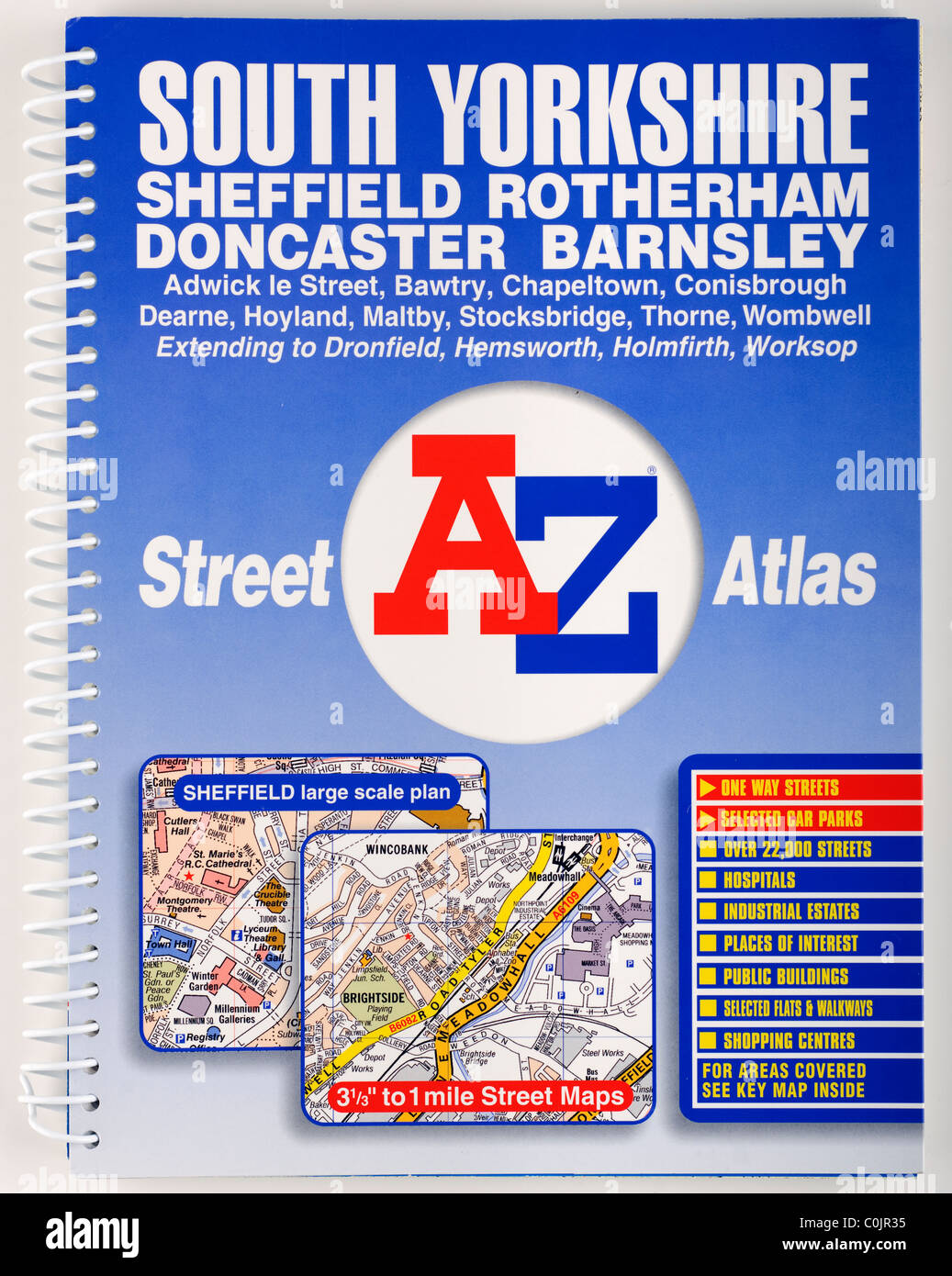 Wire ring bound Street Atlas of South Yorkshire. EDITORIAL ONLY Stock Photohttps://www.alamy.com/image-license-details/?v=1https://www.alamy.com/stock-photo-wire-ring-bound-street-atlas-of-south-yorkshire-editorial-only-34833993.html
RMC0JR35–Wire ring bound Street Atlas of South Yorkshire. EDITORIAL ONLY
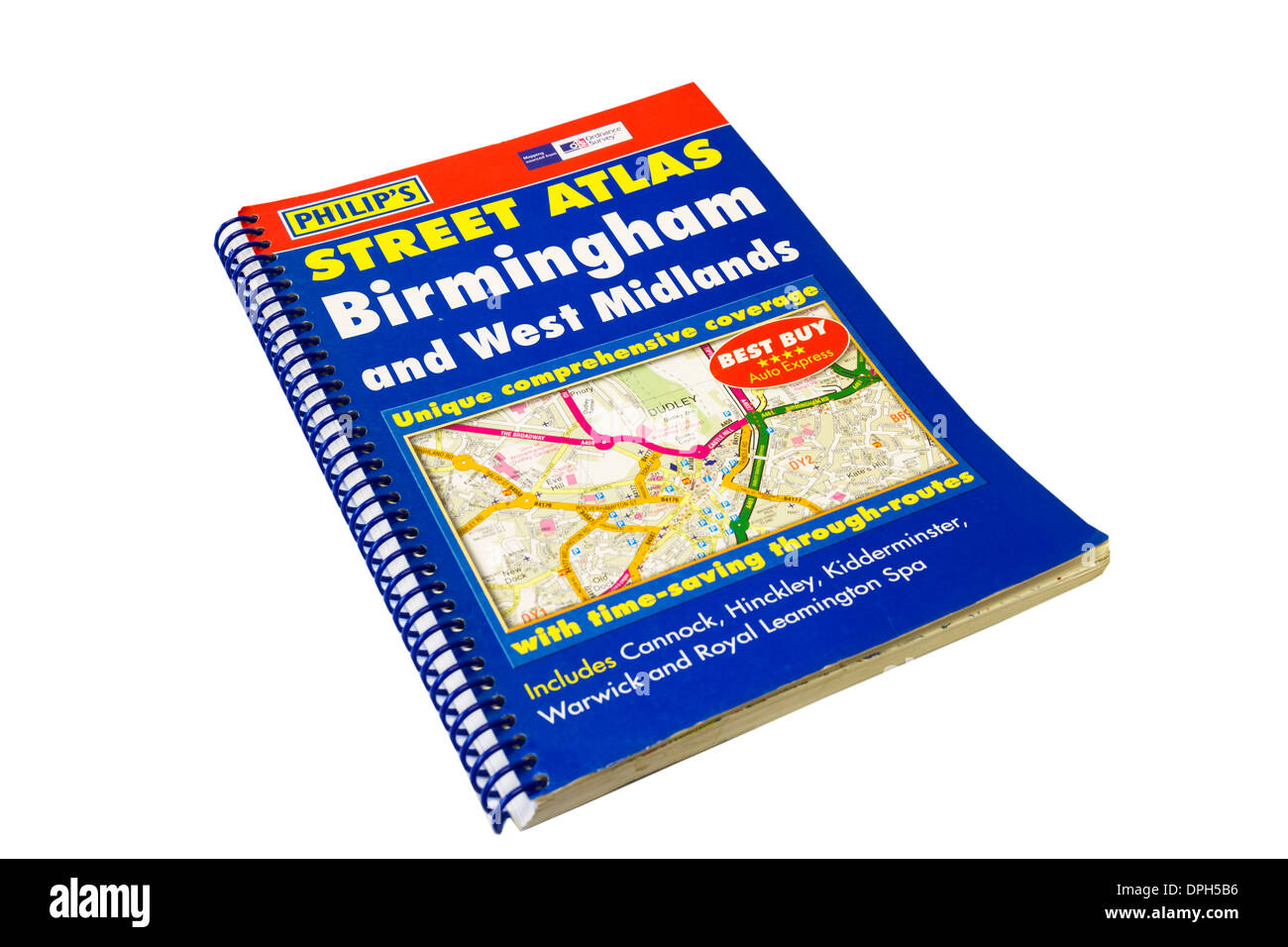 A to Z street maps for major towns in the UK Stock Photohttps://www.alamy.com/image-license-details/?v=1https://www.alamy.com/a-to-z-street-maps-for-major-towns-in-the-uk-image65530954.html
RMDPH5B6–A to Z street maps for major towns in the UK
 Close-up of a pin marking the location of the seaside town of Newlyn in Cornwall, on a map of the United Kingdom. Stock Photohttps://www.alamy.com/image-license-details/?v=1https://www.alamy.com/close-up-of-a-pin-marking-the-location-of-the-seaside-town-of-newlyn-in-cornwall-on-a-map-of-the-united-kingdom-image340640847.html
RF2AP5ETF–Close-up of a pin marking the location of the seaside town of Newlyn in Cornwall, on a map of the United Kingdom.
 Nuova Z. A. di Piazzola sul Brenta, Provincia di Padova, IT, Italy, Veneto, N 45 31' 27'', N 11 47' 17'', map, Cartascapes Map published in 2024. Explore Cartascapes, a map revealing Earth's diverse landscapes, cultures, and ecosystems. Journey through time and space, discovering the interconnectedness of our planet's past, present, and future. Stock Photohttps://www.alamy.com/image-license-details/?v=1https://www.alamy.com/nuova-z-a-di-piazzola-sul-brenta-provincia-di-padova-it-italy-veneto-n-45-31-27-n-11-47-17-map-cartascapes-map-published-in-2024-explore-cartascapes-a-map-revealing-earths-diverse-landscapes-cultures-and-ecosystems-journey-through-time-and-space-discovering-the-interconnectedness-of-our-planets-past-present-and-future-image614593961.html
RM2XKW4T9–Nuova Z. A. di Piazzola sul Brenta, Provincia di Padova, IT, Italy, Veneto, N 45 31' 27'', N 11 47' 17'', map, Cartascapes Map published in 2024. Explore Cartascapes, a map revealing Earth's diverse landscapes, cultures, and ecosystems. Journey through time and space, discovering the interconnectedness of our planet's past, present, and future.
 Man lost in the dark as he doesn’t have satellite navigation Stock Photohttps://www.alamy.com/image-license-details/?v=1https://www.alamy.com/stock-photo-man-lost-in-the-dark-as-he-doesnt-have-satellite-navigation-15608460.html
RMANWMBW–Man lost in the dark as he doesn’t have satellite navigation
 A to Z street maps for major towns in the UK Stock Photohttps://www.alamy.com/image-license-details/?v=1https://www.alamy.com/a-to-z-street-maps-for-major-towns-in-the-uk-image65530925.html
RMDPH5A5–A to Z street maps for major towns in the UK
 Close-up of a pin marking the location of the seaside town of Newlyn in Cornwall, on a map of the United Kingdom. Stock Photohttps://www.alamy.com/image-license-details/?v=1https://www.alamy.com/close-up-of-a-pin-marking-the-location-of-the-seaside-town-of-newlyn-in-cornwall-on-a-map-of-the-united-kingdom-image340640850.html
RF2AP5ETJ–Close-up of a pin marking the location of the seaside town of Newlyn in Cornwall, on a map of the United Kingdom.
 Z.Ind. Testore, Torino, IT, Italy, Piedmont, N 45 9' 59'', N 7 59' 12'', map, Cartascapes Map published in 2024. Explore Cartascapes, a map revealing Earth's diverse landscapes, cultures, and ecosystems. Journey through time and space, discovering the interconnectedness of our planet's past, present, and future. Stock Photohttps://www.alamy.com/image-license-details/?v=1https://www.alamy.com/zind-testore-torino-it-italy-piedmont-n-45-9-59-n-7-59-12-map-cartascapes-map-published-in-2024-explore-cartascapes-a-map-revealing-earths-diverse-landscapes-cultures-and-ecosystems-journey-through-time-and-space-discovering-the-interconnectedness-of-our-planets-past-present-and-future-image614714094.html
RM2XM2J2P–Z.Ind. Testore, Torino, IT, Italy, Piedmont, N 45 9' 59'', N 7 59' 12'', map, Cartascapes Map published in 2024. Explore Cartascapes, a map revealing Earth's diverse landscapes, cultures, and ecosystems. Journey through time and space, discovering the interconnectedness of our planet's past, present, and future.
 A to Z street maps for major towns in the UK Stock Photohttps://www.alamy.com/image-license-details/?v=1https://www.alamy.com/a-to-z-street-maps-for-major-towns-in-the-uk-image65530931.html
RMDPH5AB–A to Z street maps for major towns in the UK
 Close-up of a pin marking the location of the seaside town of Penzance in Cornwall, on a map of the United Kingdom. Stock Photohttps://www.alamy.com/image-license-details/?v=1https://www.alamy.com/close-up-of-a-pin-marking-the-location-of-the-seaside-town-of-penzance-in-cornwall-on-a-map-of-the-united-kingdom-image340640948.html
RF2AP5F04–Close-up of a pin marking the location of the seaside town of Penzance in Cornwall, on a map of the United Kingdom.
 Centro Multimateriale Z.I., Bari, IT, Italy, Apulia, N 41 7' 7'', N 16 48' 55'', map, Cartascapes Map published in 2024. Explore Cartascapes, a map revealing Earth's diverse landscapes, cultures, and ecosystems. Journey through time and space, discovering the interconnectedness of our planet's past, present, and future. Stock Photohttps://www.alamy.com/image-license-details/?v=1https://www.alamy.com/centro-multimateriale-zi-bari-it-italy-apulia-n-41-7-7-n-16-48-55-map-cartascapes-map-published-in-2024-explore-cartascapes-a-map-revealing-earths-diverse-landscapes-cultures-and-ecosystems-journey-through-time-and-space-discovering-the-interconnectedness-of-our-planets-past-present-and-future-image614661512.html
RM2XM070T–Centro Multimateriale Z.I., Bari, IT, Italy, Apulia, N 41 7' 7'', N 16 48' 55'', map, Cartascapes Map published in 2024. Explore Cartascapes, a map revealing Earth's diverse landscapes, cultures, and ecosystems. Journey through time and space, discovering the interconnectedness of our planet's past, present, and future.
 Close-up of a pin marking the location of the seaside town of Penzance in Cornwall, on a map of the United Kingdom. Stock Photohttps://www.alamy.com/image-license-details/?v=1https://www.alamy.com/close-up-of-a-pin-marking-the-location-of-the-seaside-town-of-penzance-in-cornwall-on-a-map-of-the-united-kingdom-image340640941.html
RF2AP5EYW–Close-up of a pin marking the location of the seaside town of Penzance in Cornwall, on a map of the United Kingdom.
 Z Kingsley Grant, Duval County, US, United States, Florida, N 30 14' 30'', S 81 37' 19'', map, Cartascapes Map published in 2024. Explore Cartascapes, a map revealing Earth's diverse landscapes, cultures, and ecosystems. Journey through time and space, discovering the interconnectedness of our planet's past, present, and future. Stock Photohttps://www.alamy.com/image-license-details/?v=1https://www.alamy.com/z-kingsley-grant-duval-county-us-united-states-florida-n-30-14-30-s-81-37-19-map-cartascapes-map-published-in-2024-explore-cartascapes-a-map-revealing-earths-diverse-landscapes-cultures-and-ecosystems-journey-through-time-and-space-discovering-the-interconnectedness-of-our-planets-past-present-and-future-image633785906.html
RM2YR3CAX–Z Kingsley Grant, Duval County, US, United States, Florida, N 30 14' 30'', S 81 37' 19'', map, Cartascapes Map published in 2024. Explore Cartascapes, a map revealing Earth's diverse landscapes, cultures, and ecosystems. Journey through time and space, discovering the interconnectedness of our planet's past, present, and future.
 Close-up of a pin marking the location of the seaside town of Newlyn in Cornwall, on a map of the United Kingdom. Stock Photohttps://www.alamy.com/image-license-details/?v=1https://www.alamy.com/close-up-of-a-pin-marking-the-location-of-the-seaside-town-of-newlyn-in-cornwall-on-a-map-of-the-united-kingdom-image340640846.html
RF2AP5ETE–Close-up of a pin marking the location of the seaside town of Newlyn in Cornwall, on a map of the United Kingdom.
 B Z Corner, Klickitat County, US, United States, Washington, N 45 51' 0'', S 121 30' 32'', map, Cartascapes Map published in 2024. Explore Cartascapes, a map revealing Earth's diverse landscapes, cultures, and ecosystems. Journey through time and space, discovering the interconnectedness of our planet's past, present, and future. Stock Photohttps://www.alamy.com/image-license-details/?v=1https://www.alamy.com/b-z-corner-klickitat-county-us-united-states-washington-n-45-51-0-s-121-30-32-map-cartascapes-map-published-in-2024-explore-cartascapes-a-map-revealing-earths-diverse-landscapes-cultures-and-ecosystems-journey-through-time-and-space-discovering-the-interconnectedness-of-our-planets-past-present-and-future-image620782285.html
RM2Y1Y23W–B Z Corner, Klickitat County, US, United States, Washington, N 45 51' 0'', S 121 30' 32'', map, Cartascapes Map published in 2024. Explore Cartascapes, a map revealing Earth's diverse landscapes, cultures, and ecosystems. Journey through time and space, discovering the interconnectedness of our planet's past, present, and future.
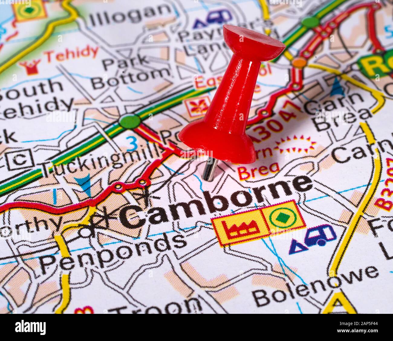 Close-up of a pin marking the location of the town of Camborne in Cornwall, on a map of the United Kingdom. Stock Photohttps://www.alamy.com/image-license-details/?v=1https://www.alamy.com/close-up-of-a-pin-marking-the-location-of-the-town-of-camborne-in-cornwall-on-a-map-of-the-united-kingdom-image340641060.html
RF2AP5F44–Close-up of a pin marking the location of the town of Camborne in Cornwall, on a map of the United Kingdom.
 Z.I. Fiamm, Provincia di Verona, IT, Italy, Veneto, N 45 19' 13'', N 11 18' 52'', map, Cartascapes Map published in 2024. Explore Cartascapes, a map revealing Earth's diverse landscapes, cultures, and ecosystems. Journey through time and space, discovering the interconnectedness of our planet's past, present, and future. Stock Photohttps://www.alamy.com/image-license-details/?v=1https://www.alamy.com/zi-fiamm-provincia-di-verona-it-italy-veneto-n-45-19-13-n-11-18-52-map-cartascapes-map-published-in-2024-explore-cartascapes-a-map-revealing-earths-diverse-landscapes-cultures-and-ecosystems-journey-through-time-and-space-discovering-the-interconnectedness-of-our-planets-past-present-and-future-image614649237.html
RM2XKYKAD–Z.I. Fiamm, Provincia di Verona, IT, Italy, Veneto, N 45 19' 13'', N 11 18' 52'', map, Cartascapes Map published in 2024. Explore Cartascapes, a map revealing Earth's diverse landscapes, cultures, and ecosystems. Journey through time and space, discovering the interconnectedness of our planet's past, present, and future.
 Close-up of a pin marking the location of the town of Porthleven in Cornwall, on a map of the United Kingdom. Stock Photohttps://www.alamy.com/image-license-details/?v=1https://www.alamy.com/close-up-of-a-pin-marking-the-location-of-the-town-of-porthleven-in-cornwall-on-a-map-of-the-united-kingdom-image340641042.html
RF2AP5F3E–Close-up of a pin marking the location of the town of Porthleven in Cornwall, on a map of the United Kingdom.
 Zona Industriale S.P.Z., Provincia di Treviso, IT, Italy, Veneto, N 45 35' 18'', N 12 17' 59'', map, Cartascapes Map published in 2024. Explore Cartascapes, a map revealing Earth's diverse landscapes, cultures, and ecosystems. Journey through time and space, discovering the interconnectedness of our planet's past, present, and future. Stock Photohttps://www.alamy.com/image-license-details/?v=1https://www.alamy.com/zona-industriale-spz-provincia-di-treviso-it-italy-veneto-n-45-35-18-n-12-17-59-map-cartascapes-map-published-in-2024-explore-cartascapes-a-map-revealing-earths-diverse-landscapes-cultures-and-ecosystems-journey-through-time-and-space-discovering-the-interconnectedness-of-our-planets-past-present-and-future-image614634036.html
RM2XKXYYG–Zona Industriale S.P.Z., Provincia di Treviso, IT, Italy, Veneto, N 45 35' 18'', N 12 17' 59'', map, Cartascapes Map published in 2024. Explore Cartascapes, a map revealing Earth's diverse landscapes, cultures, and ecosystems. Journey through time and space, discovering the interconnectedness of our planet's past, present, and future.
 Close-up of a pin marking the location of the town of Porthleven in Cornwall, on a map of the United Kingdom. Stock Photohttps://www.alamy.com/image-license-details/?v=1https://www.alamy.com/close-up-of-a-pin-marking-the-location-of-the-town-of-porthleven-in-cornwall-on-a-map-of-the-united-kingdom-image340640991.html
RF2AP5F1K–Close-up of a pin marking the location of the town of Porthleven in Cornwall, on a map of the United Kingdom.
 Zona Industriale d'Interesse Regionale (Z.I.R.), Provincia di Sassari, IT, Italy, Sardinia, N 40 37' 1'', N 8 56' 25'', map, Cartascapes Map published in 2024. Explore Cartascapes, a map revealing Earth's diverse landscapes, cultures, and ecosystems. Journey through time and space, discovering the interconnectedness of our planet's past, present, and future. Stock Photohttps://www.alamy.com/image-license-details/?v=1https://www.alamy.com/zona-industriale-dinteresse-regionale-zir-provincia-di-sassari-it-italy-sardinia-n-40-37-1-n-8-56-25-map-cartascapes-map-published-in-2024-explore-cartascapes-a-map-revealing-earths-diverse-landscapes-cultures-and-ecosystems-journey-through-time-and-space-discovering-the-interconnectedness-of-our-planets-past-present-and-future-image614517317.html
RM2XKNK31–Zona Industriale d'Interesse Regionale (Z.I.R.), Provincia di Sassari, IT, Italy, Sardinia, N 40 37' 1'', N 8 56' 25'', map, Cartascapes Map published in 2024. Explore Cartascapes, a map revealing Earth's diverse landscapes, cultures, and ecosystems. Journey through time and space, discovering the interconnectedness of our planet's past, present, and future.
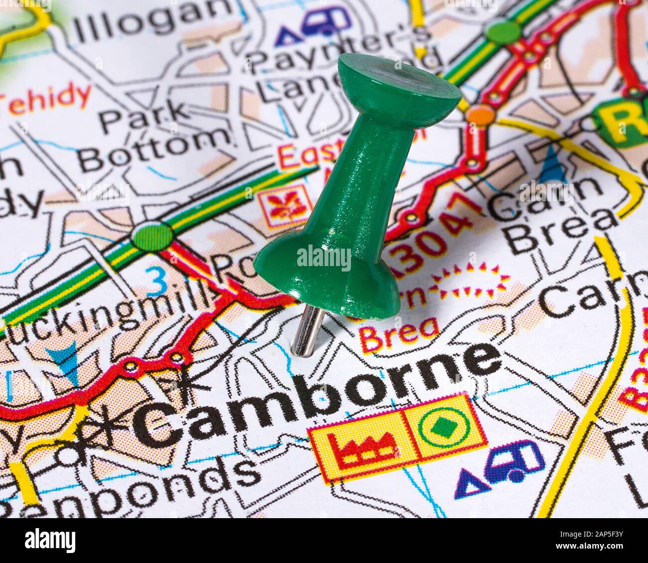 Close-up of a pin marking the location of the town of Camborne in Cornwall, on a map of the United Kingdom. Stock Photohttps://www.alamy.com/image-license-details/?v=1https://www.alamy.com/close-up-of-a-pin-marking-the-location-of-the-town-of-camborne-in-cornwall-on-a-map-of-the-united-kingdom-image340641055.html
RF2AP5F3Y–Close-up of a pin marking the location of the town of Camborne in Cornwall, on a map of the United Kingdom.
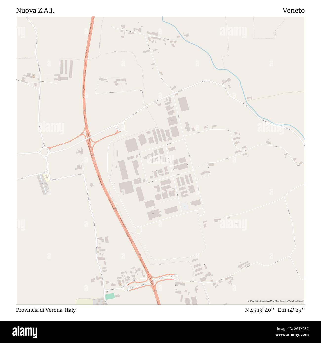 Nuova Z.A.I., Provincia di Verona, Italy, Veneto, N 45 13' 40'', E 11 14' 29'', map, Timeless Map published in 2021. Travelers, explorers and adventurers like Florence Nightingale, David Livingstone, Ernest Shackleton, Lewis and Clark and Sherlock Holmes relied on maps to plan travels to the world's most remote corners, Timeless Maps is mapping most locations on the globe, showing the achievement of great dreams Stock Photohttps://www.alamy.com/image-license-details/?v=1https://www.alamy.com/nuova-zai-provincia-di-verona-italy-veneto-n-45-13-40-e-11-14-29-map-timeless-map-published-in-2021-travelers-explorers-and-adventurers-like-florence-nightingale-david-livingstone-ernest-shackleton-lewis-and-clark-and-sherlock-holmes-relied-on-maps-to-plan-travels-to-the-worlds-most-remote-corners-timeless-maps-is-mapping-most-locations-on-the-globe-showing-the-achievement-of-great-dreams-image445581792.html
RM2GTX03C–Nuova Z.A.I., Provincia di Verona, Italy, Veneto, N 45 13' 40'', E 11 14' 29'', map, Timeless Map published in 2021. Travelers, explorers and adventurers like Florence Nightingale, David Livingstone, Ernest Shackleton, Lewis and Clark and Sherlock Holmes relied on maps to plan travels to the world's most remote corners, Timeless Maps is mapping most locations on the globe, showing the achievement of great dreams
 Close-up of a pin marking the location of the town of Porthleven in Cornwall, on a map of the United Kingdom. Stock Photohttps://www.alamy.com/image-license-details/?v=1https://www.alamy.com/close-up-of-a-pin-marking-the-location-of-the-town-of-porthleven-in-cornwall-on-a-map-of-the-united-kingdom-image340641022.html
RF2AP5F2P–Close-up of a pin marking the location of the town of Porthleven in Cornwall, on a map of the United Kingdom.
 Nuova Z. A. di Piazzola sul Brenta, Padua, Italy, Veneto, N 45 31' 27'', E 11 47' 17'', map, Timeless Map published in 2021. Travelers, explorers and adventurers like Florence Nightingale, David Livingstone, Ernest Shackleton, Lewis and Clark and Sherlock Holmes relied on maps to plan travels to the world's most remote corners, Timeless Maps is mapping most locations on the globe, showing the achievement of great dreams Stock Photohttps://www.alamy.com/image-license-details/?v=1https://www.alamy.com/nuova-z-a-di-piazzola-sul-brenta-padua-italy-veneto-n-45-31-27-e-11-47-17-map-timeless-map-published-in-2021-travelers-explorers-and-adventurers-like-florence-nightingale-david-livingstone-ernest-shackleton-lewis-and-clark-and-sherlock-holmes-relied-on-maps-to-plan-travels-to-the-worlds-most-remote-corners-timeless-maps-is-mapping-most-locations-on-the-globe-showing-the-achievement-of-great-dreams-image445738807.html
RM2GW54B3–Nuova Z. A. di Piazzola sul Brenta, Padua, Italy, Veneto, N 45 31' 27'', E 11 47' 17'', map, Timeless Map published in 2021. Travelers, explorers and adventurers like Florence Nightingale, David Livingstone, Ernest Shackleton, Lewis and Clark and Sherlock Holmes relied on maps to plan travels to the world's most remote corners, Timeless Maps is mapping most locations on the globe, showing the achievement of great dreams
 Close-up of a map pin marking the location of St. Just in Penwith, Cornwall on a map of the United Kingdom. Stock Photohttps://www.alamy.com/image-license-details/?v=1https://www.alamy.com/close-up-of-a-map-pin-marking-the-location-of-st-just-in-penwith-cornwall-on-a-map-of-the-united-kingdom-image340640843.html
RF2AP5ETB–Close-up of a map pin marking the location of St. Just in Penwith, Cornwall on a map of the United Kingdom.
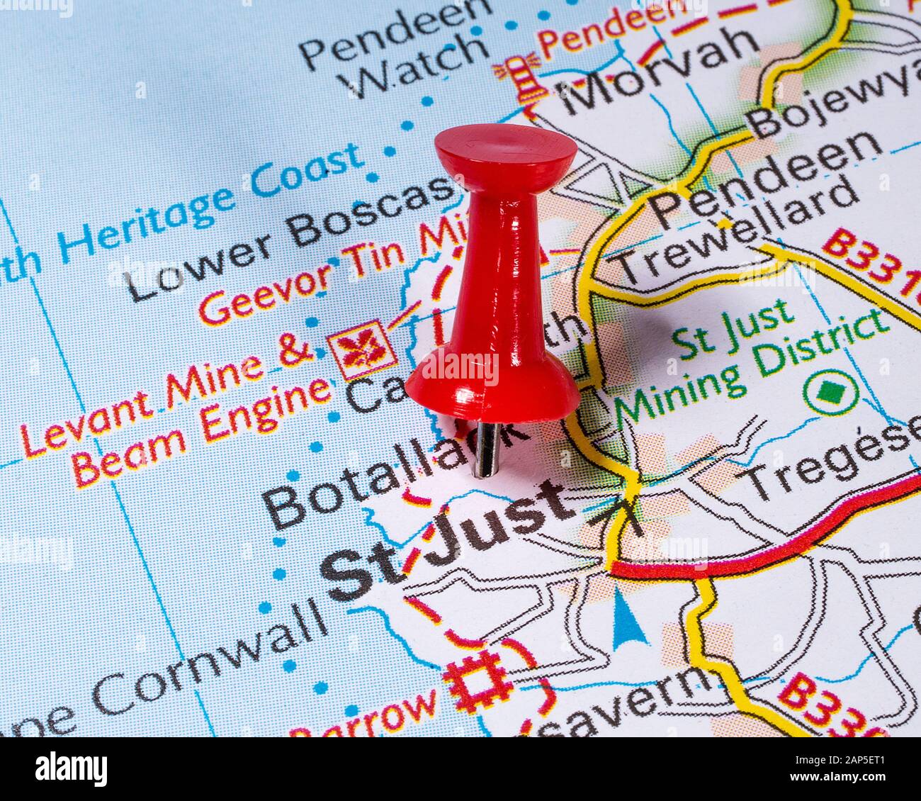 Close-up of a map pin marking the location of St. Just in Penwith, Cornwall on a map of the United Kingdom. Stock Photohttps://www.alamy.com/image-license-details/?v=1https://www.alamy.com/close-up-of-a-map-pin-marking-the-location-of-st-just-in-penwith-cornwall-on-a-map-of-the-united-kingdom-image340640833.html
RF2AP5ET1–Close-up of a map pin marking the location of St. Just in Penwith, Cornwall on a map of the United Kingdom.
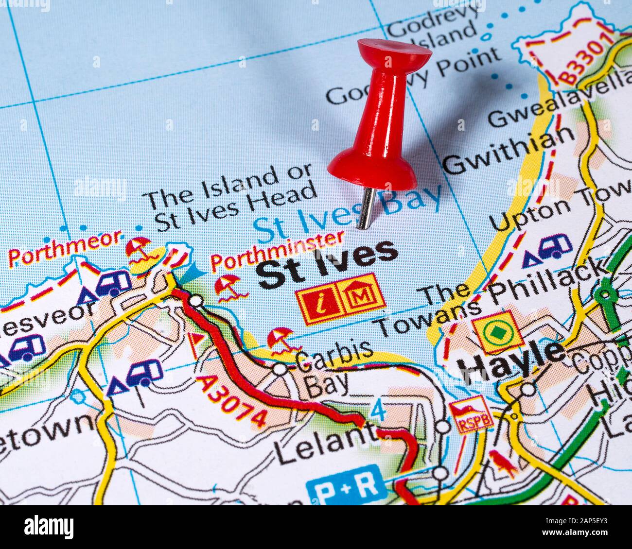 Close-up of a pin marking the location of the seaside town of St. Ives in Cornwall, on a map of the United Kingdom. Stock Photohttps://www.alamy.com/image-license-details/?v=1https://www.alamy.com/close-up-of-a-pin-marking-the-location-of-the-seaside-town-of-st-ives-in-cornwall-on-a-map-of-the-united-kingdom-image340640919.html
RF2AP5EY3–Close-up of a pin marking the location of the seaside town of St. Ives in Cornwall, on a map of the United Kingdom.
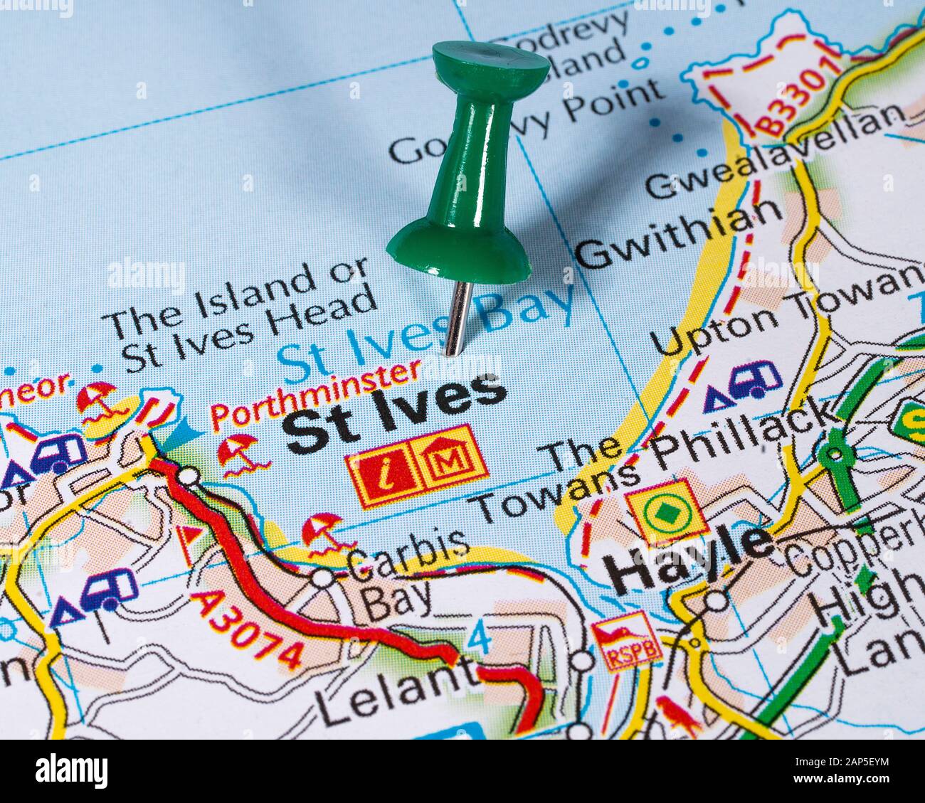 Close-up of a pin marking the location of the seaside town of St. Ives in Cornwall, on a map of the United Kingdom. Stock Photohttps://www.alamy.com/image-license-details/?v=1https://www.alamy.com/close-up-of-a-pin-marking-the-location-of-the-seaside-town-of-st-ives-in-cornwall-on-a-map-of-the-united-kingdom-image340640936.html
RF2AP5EYM–Close-up of a pin marking the location of the seaside town of St. Ives in Cornwall, on a map of the United Kingdom.