A6120 road Stock Photos and Images
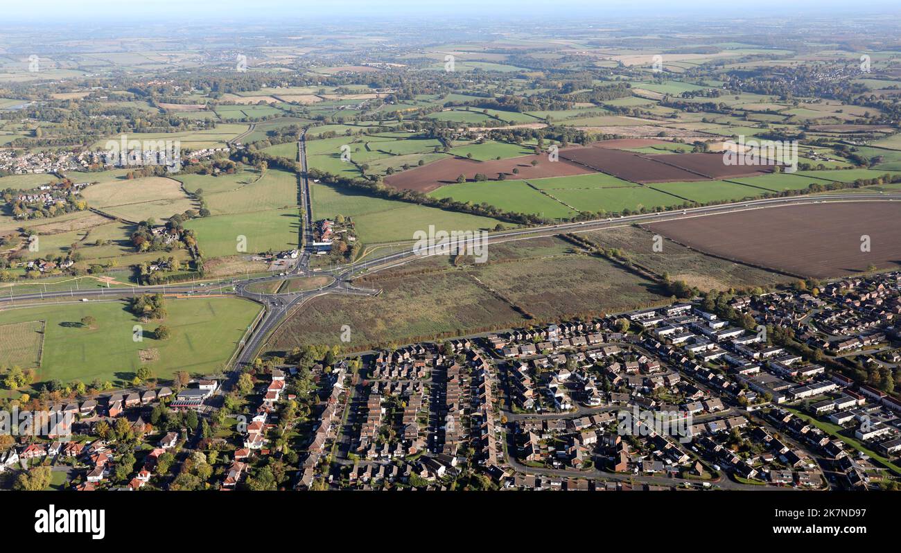 aerial view of part of the new A6120 Leeds Outer Ring Road at Redhall, near Shadwell on the North side of Leeds, where it cross the Wetherby Road Stock Photohttps://www.alamy.com/image-license-details/?v=1https://www.alamy.com/aerial-view-of-part-of-the-new-a6120-leeds-outer-ring-road-at-redhall-near-shadwell-on-the-north-side-of-leeds-where-it-cross-the-wetherby-road-image486664339.html
RM2K7ND97–aerial view of part of the new A6120 Leeds Outer Ring Road at Redhall, near Shadwell on the North side of Leeds, where it cross the Wetherby Road
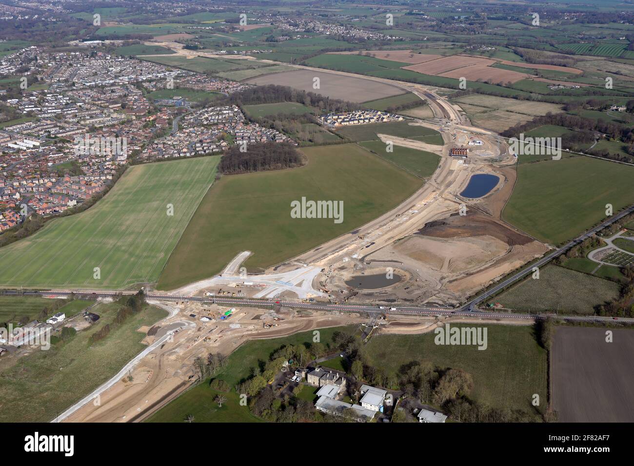 aerial view of the new Leeds Orbital Route, the A6120 outer ring road, where a new junction on the A64 is being constructed Stock Photohttps://www.alamy.com/image-license-details/?v=1https://www.alamy.com/aerial-view-of-the-new-leeds-orbital-route-the-a6120-outer-ring-road-where-a-new-junction-on-the-a64-is-being-constructed-image418018251.html
RM2F82AF7–aerial view of the new Leeds Orbital Route, the A6120 outer ring road, where a new junction on the A64 is being constructed
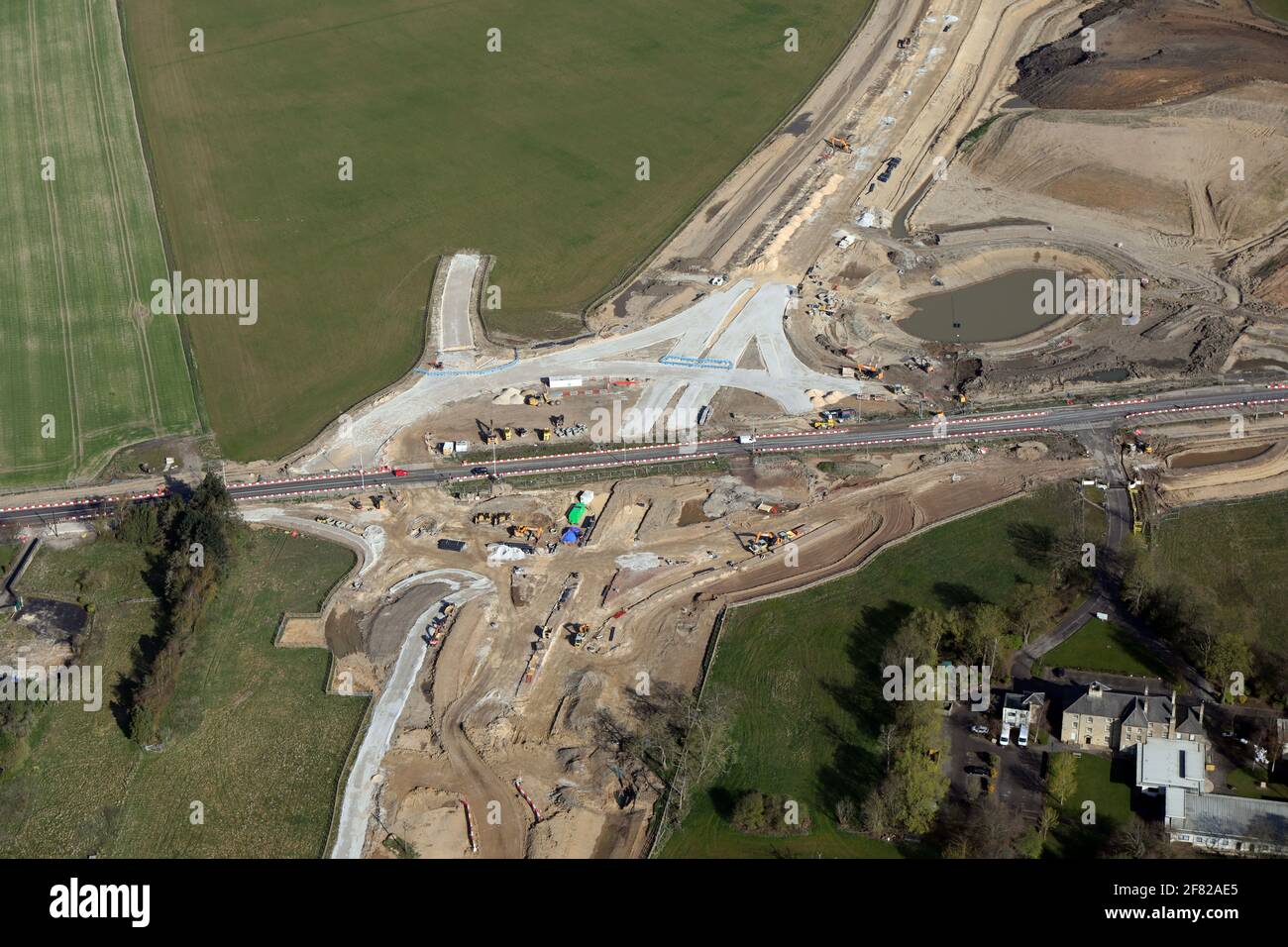 aerial view of the new Leeds Orbital Route, the A6120 outer ring road, where a new junction on the A64 is being constructed Stock Photohttps://www.alamy.com/image-license-details/?v=1https://www.alamy.com/aerial-view-of-the-new-leeds-orbital-route-the-a6120-outer-ring-road-where-a-new-junction-on-the-a64-is-being-constructed-image418018221.html
RM2F82AE5–aerial view of the new Leeds Orbital Route, the A6120 outer ring road, where a new junction on the A64 is being constructed
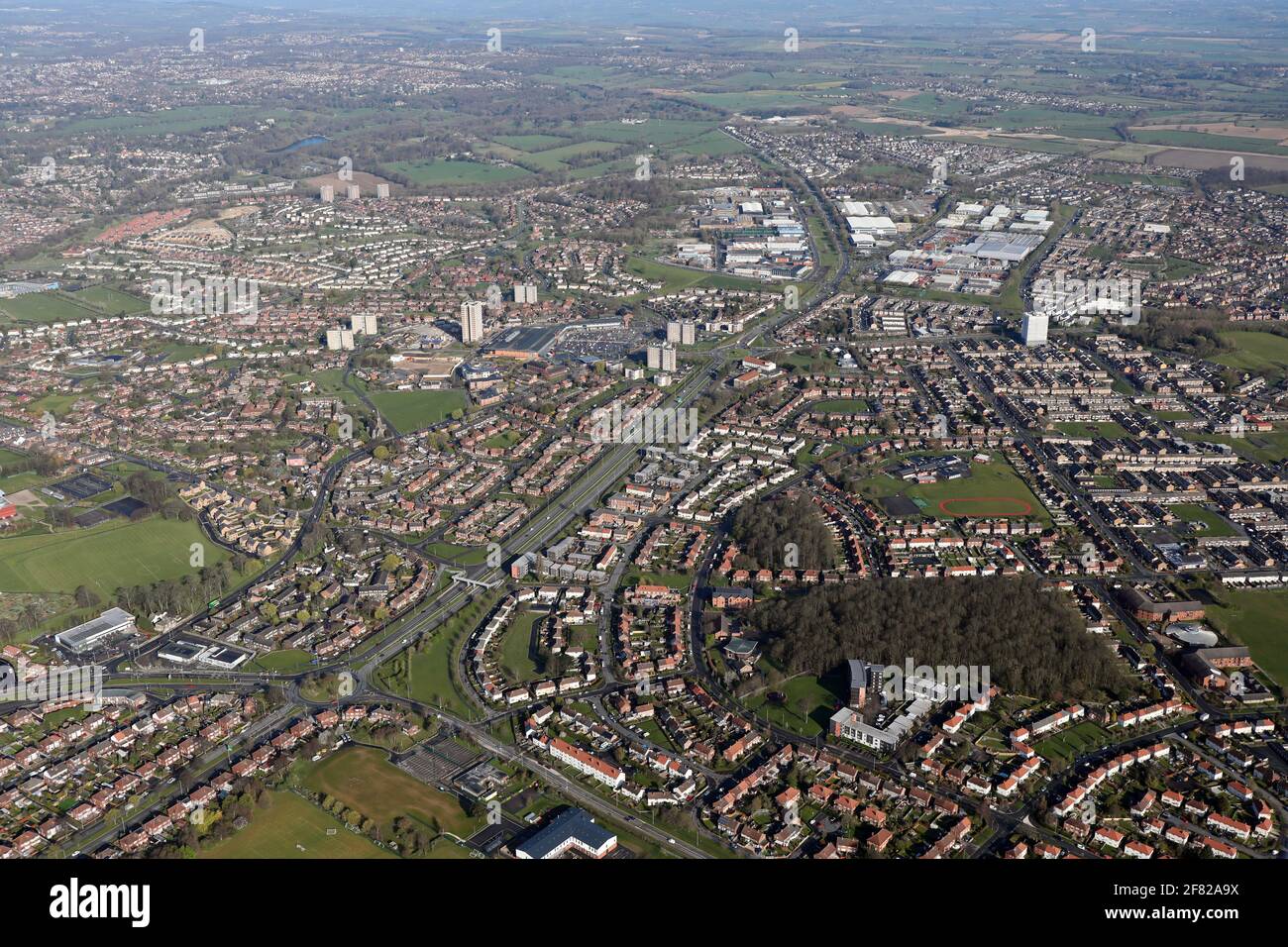 aerial view looking North of the A6120 (& A64) ring road on the east side of Leeds, West Yorkshire Stock Photohttps://www.alamy.com/image-license-details/?v=1https://www.alamy.com/aerial-view-looking-north-of-the-a6120-a64-ring-road-on-the-east-side-of-leeds-west-yorkshire-image418018102.html
RM2F82A9X–aerial view looking North of the A6120 (& A64) ring road on the east side of Leeds, West Yorkshire
 aerial view of the A647 & A6120 roundabout junction & office blocks in Farsley, Pudsey, Leeds looking towards Bradford, West Yorkshire Stock Photohttps://www.alamy.com/image-license-details/?v=1https://www.alamy.com/aerial-view-of-the-a647-a6120-roundabout-junction-office-blocks-in-farsley-pudsey-leeds-looking-towards-bradford-west-yorkshire-image418018211.html
RM2F82ADR–aerial view of the A647 & A6120 roundabout junction & office blocks in Farsley, Pudsey, Leeds looking towards Bradford, West Yorkshire
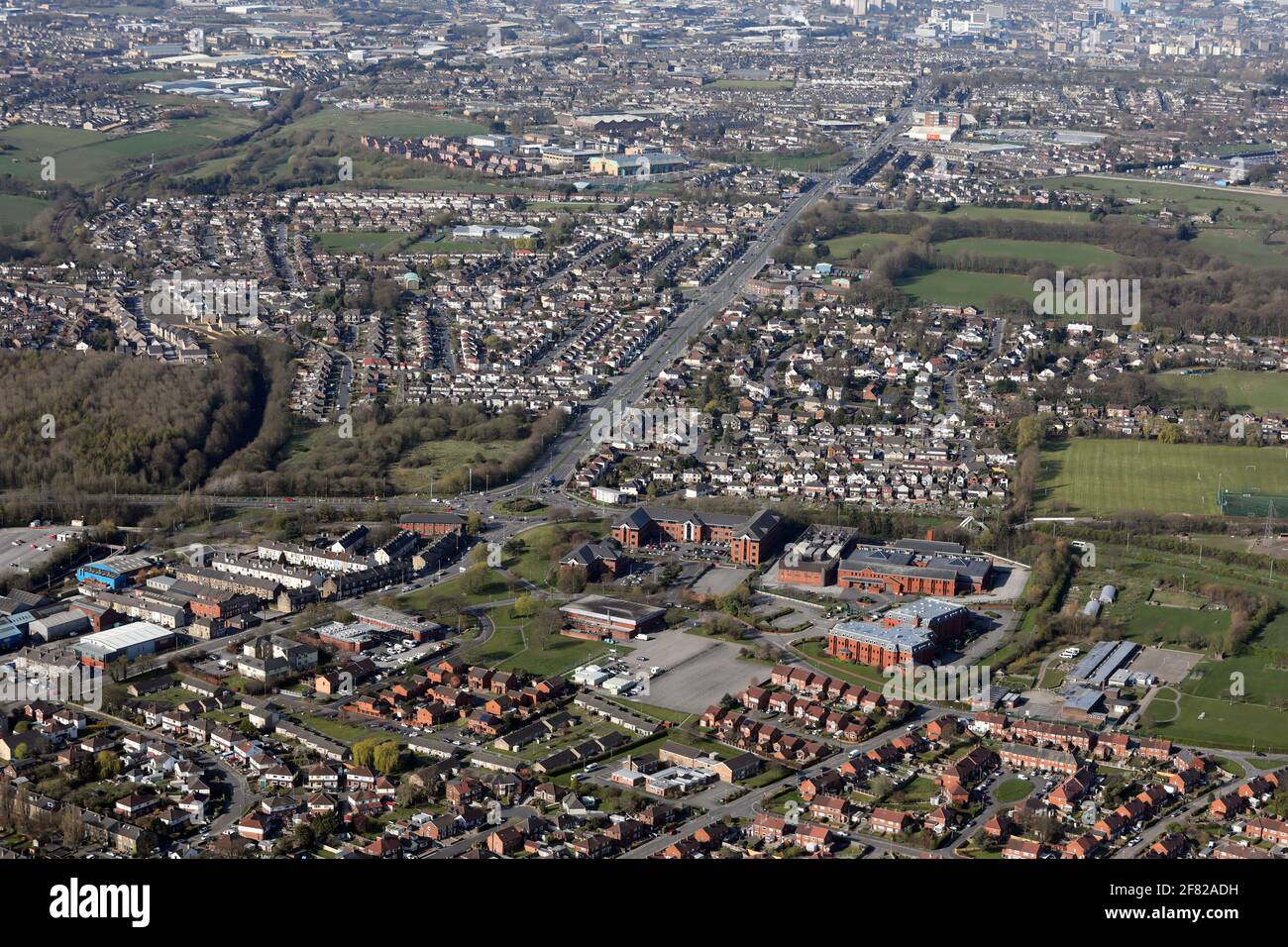 aerial view of the A647 & A6120 roundabout junction & office blocks in Farsley, Pudsey, Leeds looking towards Bradford, West Yorkshire Stock Photohttps://www.alamy.com/image-license-details/?v=1https://www.alamy.com/aerial-view-of-the-a647-a6120-roundabout-junction-office-blocks-in-farsley-pudsey-leeds-looking-towards-bradford-west-yorkshire-image418018205.html
RM2F82ADH–aerial view of the A647 & A6120 roundabout junction & office blocks in Farsley, Pudsey, Leeds looking towards Bradford, West Yorkshire
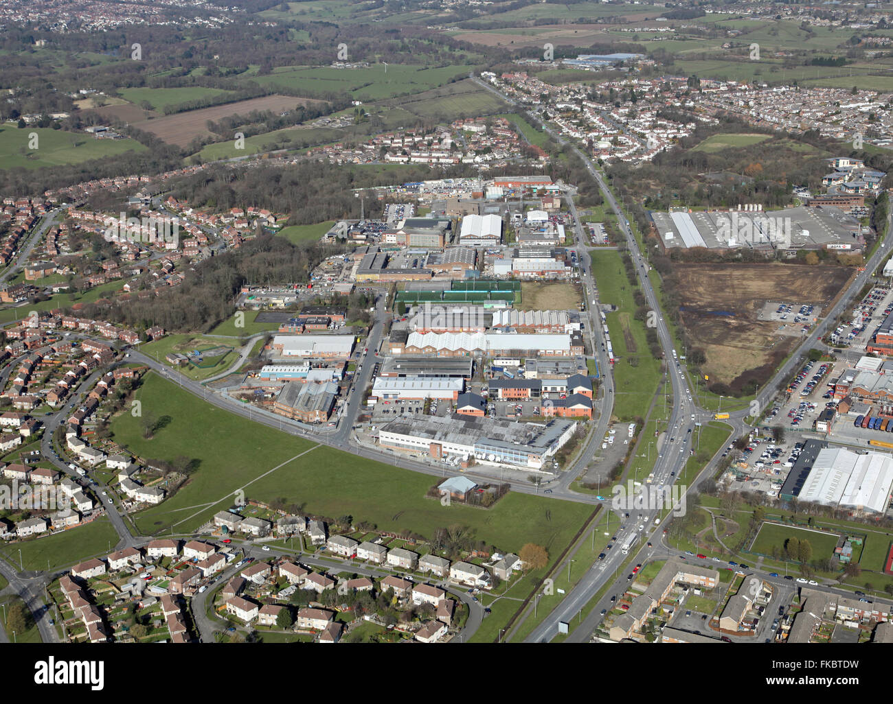 aerial view of Coal Road and Limewood Approach with the Leeds Ring Road A6120, UK Stock Photohttps://www.alamy.com/image-license-details/?v=1https://www.alamy.com/stock-photo-aerial-view-of-coal-road-and-limewood-approach-with-the-leeds-ring-97990981.html
RMFKBTDW–aerial view of Coal Road and Limewood Approach with the Leeds Ring Road A6120, UK
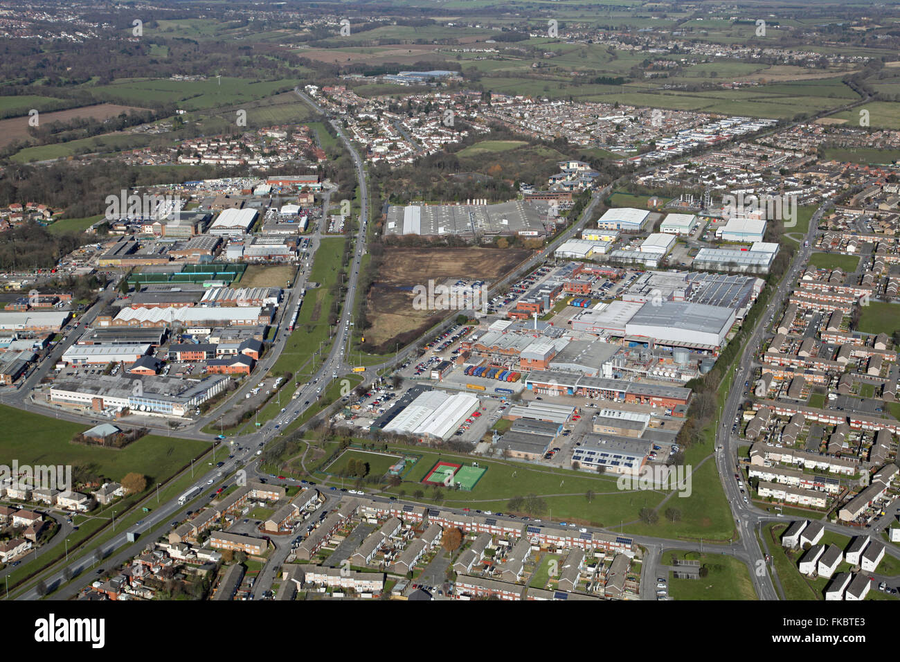 aerial view of Coal Road and Limewood Approach with the Leeds Ring Road A6120, UK Stock Photohttps://www.alamy.com/image-license-details/?v=1https://www.alamy.com/stock-photo-aerial-view-of-coal-road-and-limewood-approach-with-the-leeds-ring-97990987.html
RMFKBTE3–aerial view of Coal Road and Limewood Approach with the Leeds Ring Road A6120, UK
 aerial view of Coal Road and Limewood Approach with the A64 and the Leeds Ring Road A6120, UK Stock Photohttps://www.alamy.com/image-license-details/?v=1https://www.alamy.com/stock-photo-aerial-view-of-coal-road-and-limewood-approach-with-the-a64-and-the-97990995.html
RMFKBTEB–aerial view of Coal Road and Limewood Approach with the A64 and the Leeds Ring Road A6120, UK
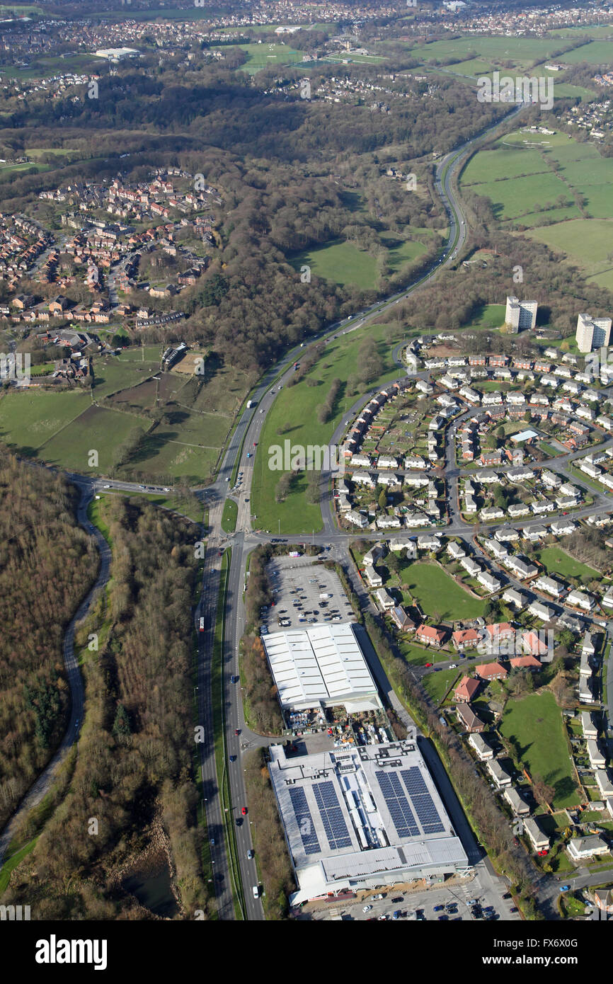 aerial view of the Leeds northern outer ring road A6120, showing a Sainsbury's and Homebase stores, UK Stock Photohttps://www.alamy.com/image-license-details/?v=1https://www.alamy.com/stock-photo-aerial-view-of-the-leeds-northern-outer-ring-road-a6120-showing-a-102185008.html
RMFX6X0G–aerial view of the Leeds northern outer ring road A6120, showing a Sainsbury's and Homebase stores, UK
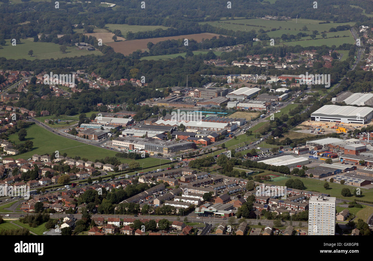 aerial view of Industrial and business units on the A6120 ring road & Coal Road, near Leeds, UK Stock Photohttps://www.alamy.com/image-license-details/?v=1https://www.alamy.com/stock-photo-aerial-view-of-industrial-and-business-units-on-the-a6120-ring-road-119432048.html
RMGX8GP8–aerial view of Industrial and business units on the A6120 ring road & Coal Road, near Leeds, UK
 aerial view of Industrial and business units on the A6120 ring road & Coal Road, near Leeds, UK Stock Photohttps://www.alamy.com/image-license-details/?v=1https://www.alamy.com/stock-photo-aerial-view-of-industrial-and-business-units-on-the-a6120-ring-road-119432045.html
RMGX8GP5–aerial view of Industrial and business units on the A6120 ring road & Coal Road, near Leeds, UK
 aerial view of Industrial and business units on the A6120 ring road & Coal Road, near Leeds, UK Stock Photohttps://www.alamy.com/image-license-details/?v=1https://www.alamy.com/stock-photo-aerial-view-of-industrial-and-business-units-on-the-a6120-ring-road-119432051.html
RMGX8GPB–aerial view of Industrial and business units on the A6120 ring road & Coal Road, near Leeds, UK
 aerial view from the east looking west of land bounded by the new A6120 East Leeds Orbital Road at Redhall, Leeds 14 Stock Photohttps://www.alamy.com/image-license-details/?v=1https://www.alamy.com/aerial-view-from-the-east-looking-west-of-land-bounded-by-the-new-a6120-east-leeds-orbital-road-at-redhall-leeds-14-image558323095.html
RM2RC9PPF–aerial view from the east looking west of land bounded by the new A6120 East Leeds Orbital Road at Redhall, Leeds 14
 aerial view of Seacroft industrial estate, Coal Road, Leeds Stock Photohttps://www.alamy.com/image-license-details/?v=1https://www.alamy.com/aerial-view-of-seacroft-industrial-estate-coal-road-leeds-image184020255.html
RMMKARKY–aerial view of Seacroft industrial estate, Coal Road, Leeds
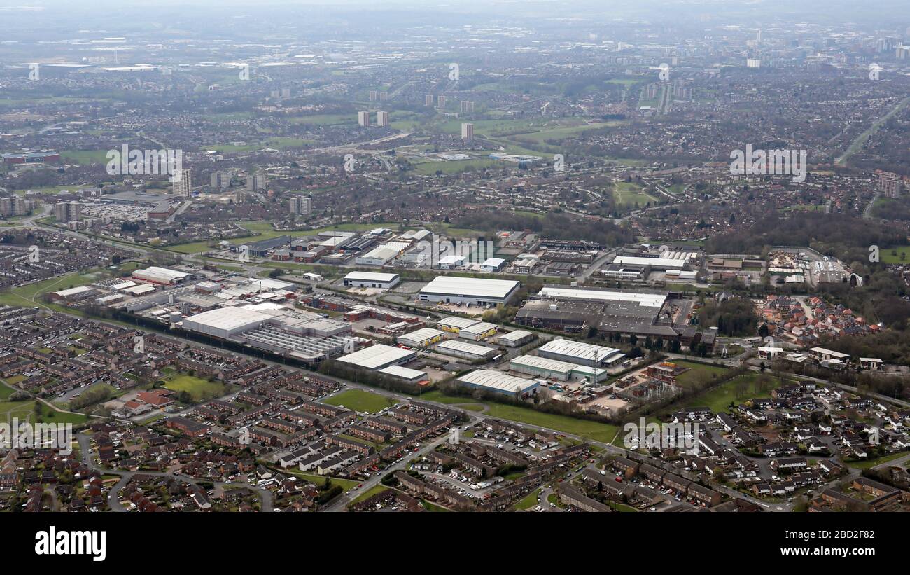 aerial view of Victoria Industrial Park, The Courtyards and business on Coal Road and Limewood Approach, East Leeds, LS14 Stock Photohttps://www.alamy.com/image-license-details/?v=1https://www.alamy.com/aerial-view-of-victoria-industrial-park-the-courtyards-and-business-on-coal-road-and-limewood-approach-east-leeds-ls14-image352253778.html
RM2BD2F82–aerial view of Victoria Industrial Park, The Courtyards and business on Coal Road and Limewood Approach, East Leeds, LS14
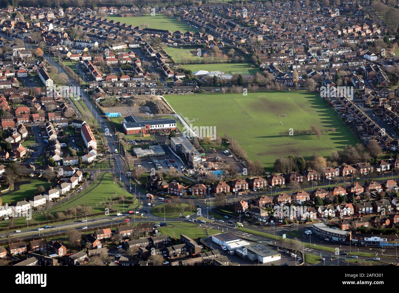 aerial view of Crossgates & Stanks showing the A64 A6120 roundabout on the ring road, Leeds Stock Photohttps://www.alamy.com/image-license-details/?v=1https://www.alamy.com/aerial-view-of-crossgates-stanks-showing-the-a64-a6120-roundabout-on-the-ring-road-leeds-image336789937.html
RM2AFX301–aerial view of Crossgates & Stanks showing the A64 A6120 roundabout on the ring road, Leeds
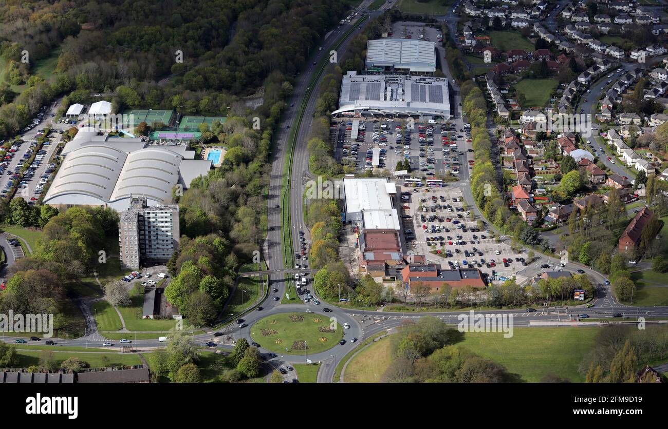 aerial view of Moor Allerton District Centre and David Lloyd Leeds,at the roundabout junction of the A6120 and King Lane, Moortown, Leeds Stock Photohttps://www.alamy.com/image-license-details/?v=1https://www.alamy.com/aerial-view-of-moor-allerton-district-centre-and-david-lloyd-leedsat-the-roundabout-junction-of-the-a6120-and-king-lane-moortown-leeds-image425549749.html
RM2FM9D19–aerial view of Moor Allerton District Centre and David Lloyd Leeds,at the roundabout junction of the A6120 and King Lane, Moortown, Leeds
 aerial view of Crossgates in Leeds, UK Stock Photohttps://www.alamy.com/image-license-details/?v=1https://www.alamy.com/stock-photo-aerial-view-of-crossgates-in-leeds-uk-149047337.html
RMJJDKB5–aerial view of Crossgates in Leeds, UK
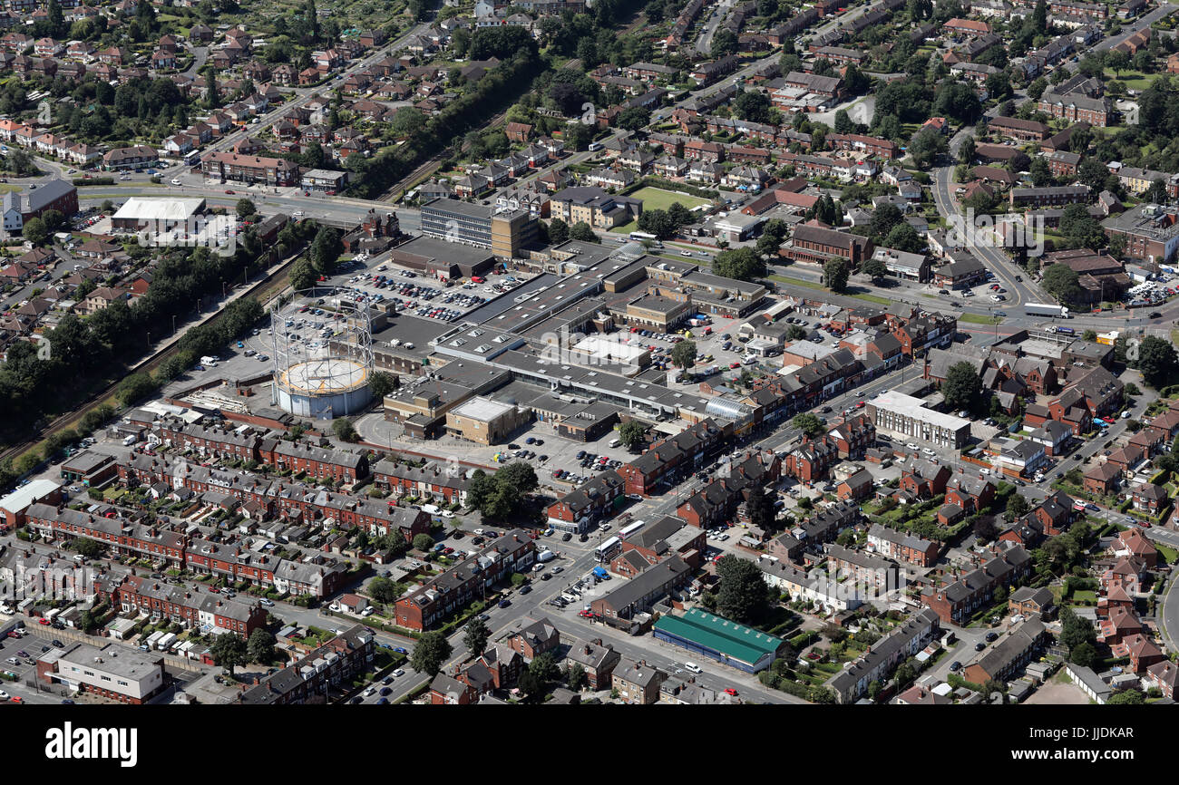 aerial view of Crossgates in Leeds, UK Stock Photohttps://www.alamy.com/image-license-details/?v=1https://www.alamy.com/stock-photo-aerial-view-of-crossgates-in-leeds-uk-149047327.html
RMJJDKAR–aerial view of Crossgates in Leeds, UK
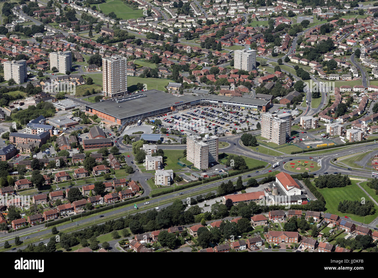 aerial view of Seacroft Shopping Centre in Leeds 14, UK Stock Photohttps://www.alamy.com/image-license-details/?v=1https://www.alamy.com/stock-photo-aerial-view-of-seacroft-shopping-centre-in-leeds-14-uk-149047455.html
RMJJDKFB–aerial view of Seacroft Shopping Centre in Leeds 14, UK
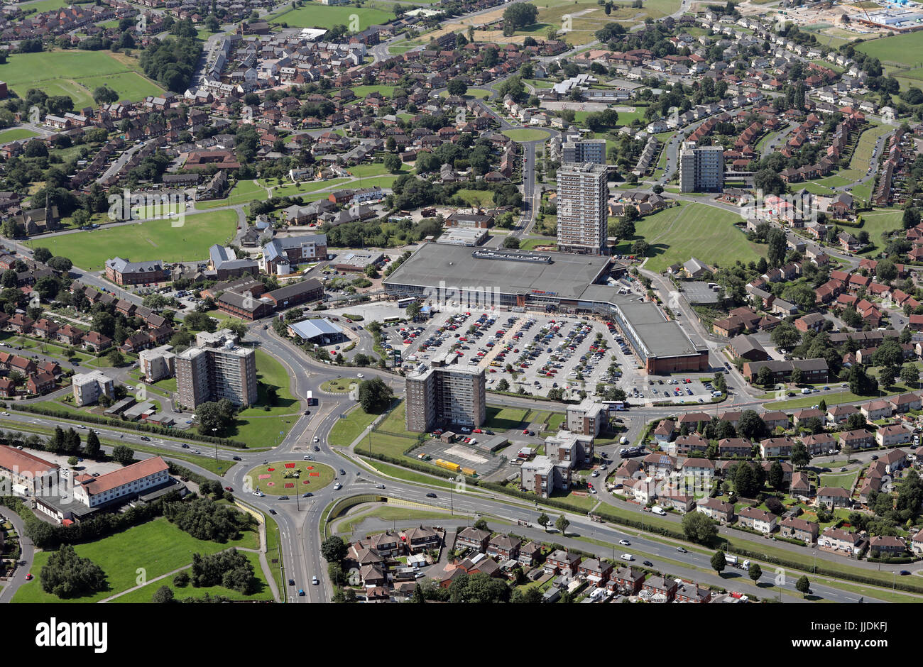 aerial view of Seacroft Shopping Centre in Leeds 14, UK Stock Photohttps://www.alamy.com/image-license-details/?v=1https://www.alamy.com/stock-photo-aerial-view-of-seacroft-shopping-centre-in-leeds-14-uk-149047462.html
RMJJDKFJ–aerial view of Seacroft Shopping Centre in Leeds 14, UK
 aerial view of the Moor Allerton Centre on Leeds northern ring road, Moortown Stock Photohttps://www.alamy.com/image-license-details/?v=1https://www.alamy.com/aerial-view-of-the-moor-allerton-centre-on-leeds-northern-ring-road-moortown-image179892472.html
RMMCJPK4–aerial view of the Moor Allerton Centre on Leeds northern ring road, Moortown
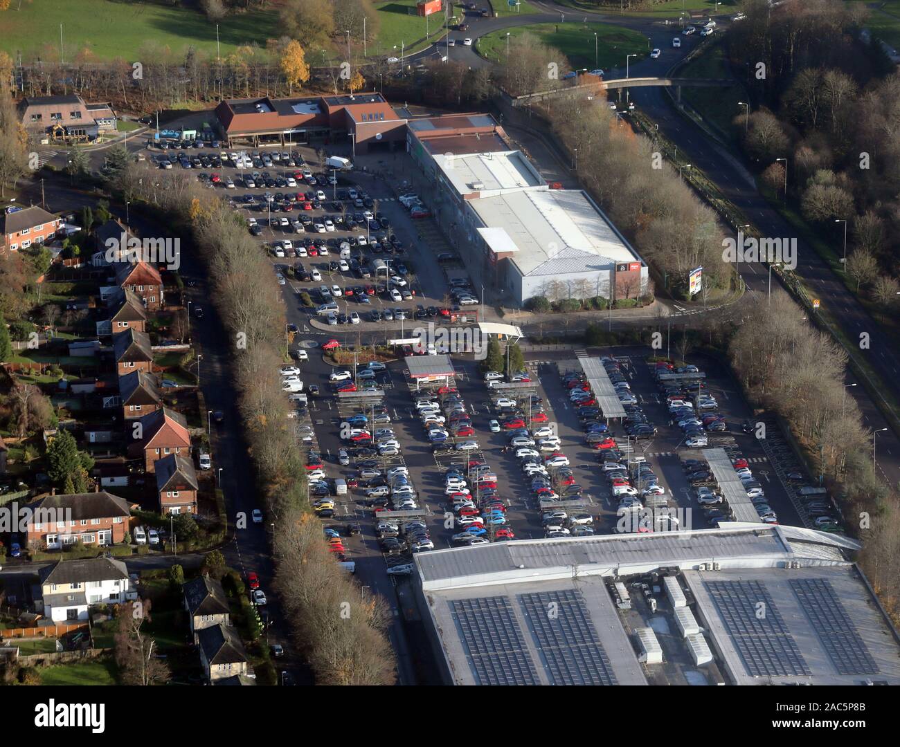 aerial view of the Moor Allerton Centre, Leeds LS17, West Yorkshire Stock Photohttps://www.alamy.com/image-license-details/?v=1https://www.alamy.com/aerial-view-of-the-moor-allerton-centre-leeds-ls17-west-yorkshire-image334500107.html
RM2AC5P8B–aerial view of the Moor Allerton Centre, Leeds LS17, West Yorkshire
 aerial view of the Moor Allerton Centre, Leeds Stock Photohttps://www.alamy.com/image-license-details/?v=1https://www.alamy.com/aerial-view-of-the-moor-allerton-centre-leeds-image437278745.html
RM2GBBNE1–aerial view of the Moor Allerton Centre, Leeds
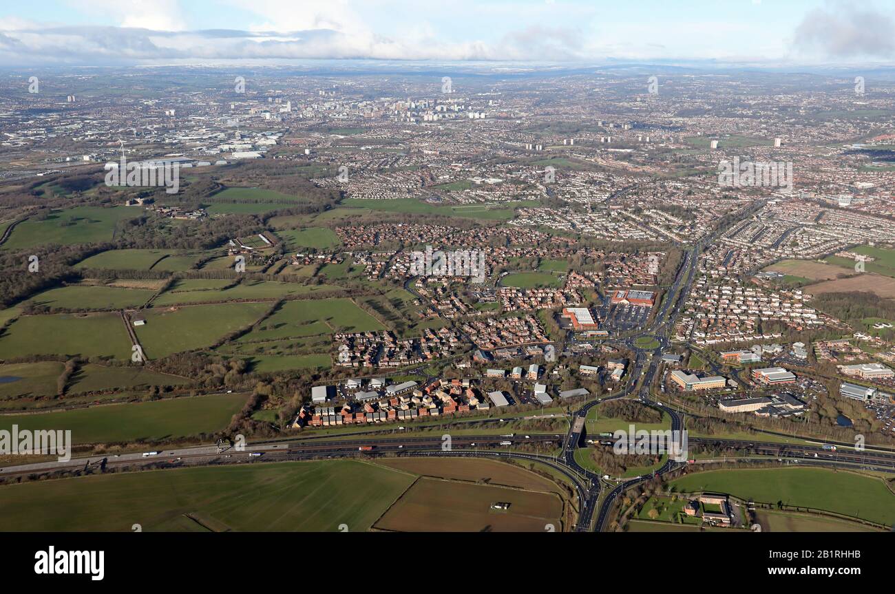 aerial view of Colton looking west from junction 46 of the M1 motorway towards Leeds city centre Stock Photohttps://www.alamy.com/image-license-details/?v=1https://www.alamy.com/aerial-view-of-colton-looking-west-from-junction-46-of-the-m1-motorway-towards-leeds-city-centre-image345340727.html
RM2B1RHHB–aerial view of Colton looking west from junction 46 of the M1 motorway towards Leeds city centre
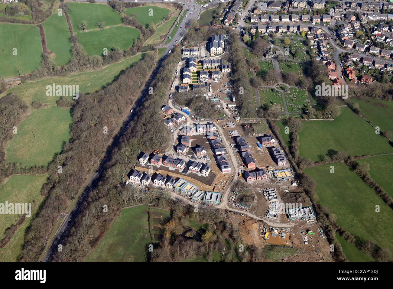 aerial view of new housing being built by Stonewater Homes near Horsforth Cemetery, Leeds Stock Photohttps://www.alamy.com/image-license-details/?v=1https://www.alamy.com/aerial-view-of-new-housing-being-built-by-stonewater-homes-near-horsforth-cemetery-leeds-image598698846.html
RM2WP12DJ–aerial view of new housing being built by Stonewater Homes near Horsforth Cemetery, Leeds
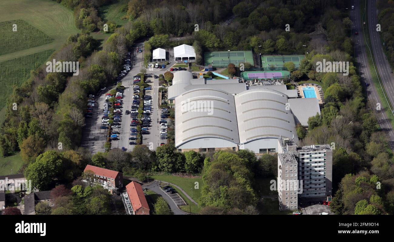 aerial view of David Lloyd Leeds Gym Stock Photohttps://www.alamy.com/image-license-details/?v=1https://www.alamy.com/aerial-view-of-david-lloyd-leeds-gym-image425549744.html
RM2FM9D14–aerial view of David Lloyd Leeds Gym
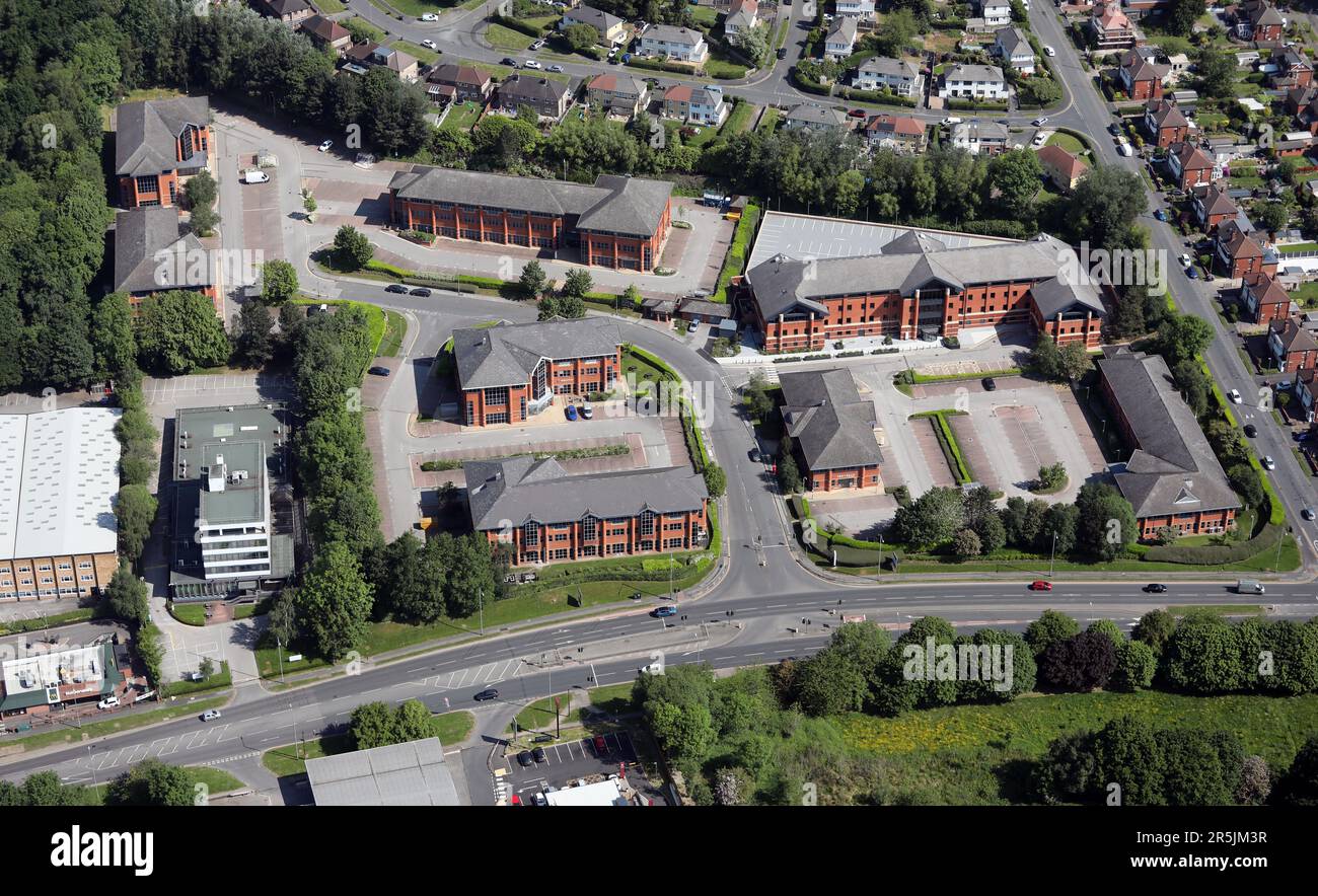 aerial view of Lawnswood Business Park, Horsforth, Leeds, West Yorkshire Stock Photohttps://www.alamy.com/image-license-details/?v=1https://www.alamy.com/aerial-view-of-lawnswood-business-park-horsforth-leeds-west-yorkshire-image554215979.html
RM2R5JM3R–aerial view of Lawnswood Business Park, Horsforth, Leeds, West Yorkshire