Administrative divisions of greece Stock Vectors & Vector Art
(69)See administrative divisions of greece stock video clipsAdministrative divisions of greece Stock Vectors & Vector Art
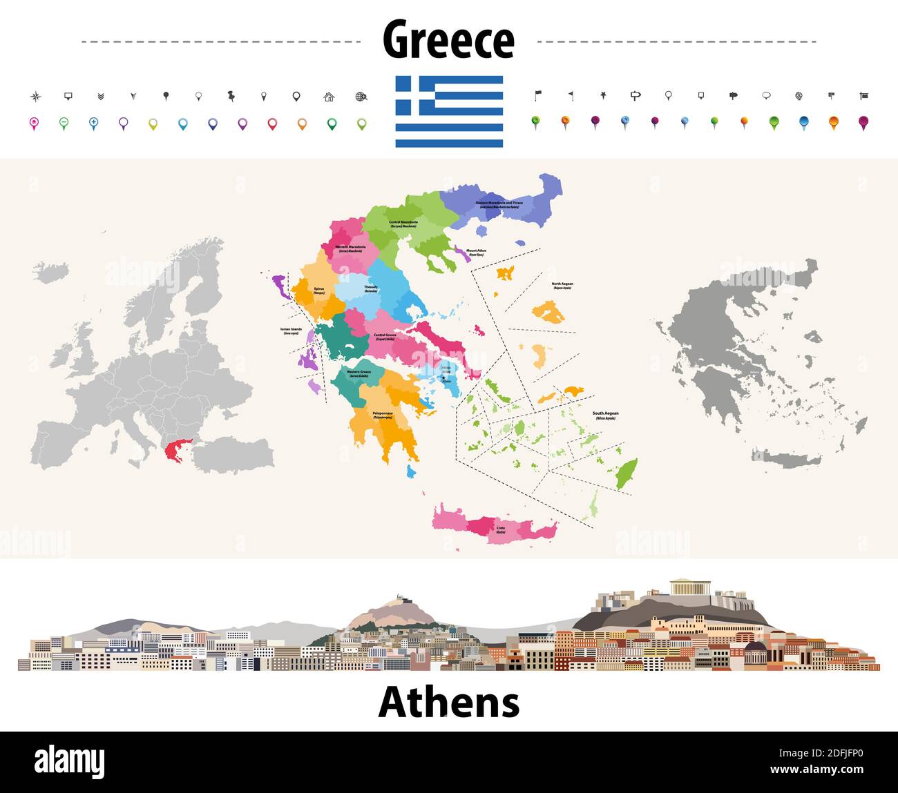 Greece administrative divisions map. Flag of Greece. Athens cityscape. Vector illustration Stock Vectorhttps://www.alamy.com/image-license-details/?v=1https://www.alamy.com/greece-administrative-divisions-map-flag-of-greece-athens-cityscape-vector-illustration-image388255448.html
RF2DFJFP0–Greece administrative divisions map. Flag of Greece. Athens cityscape. Vector illustration
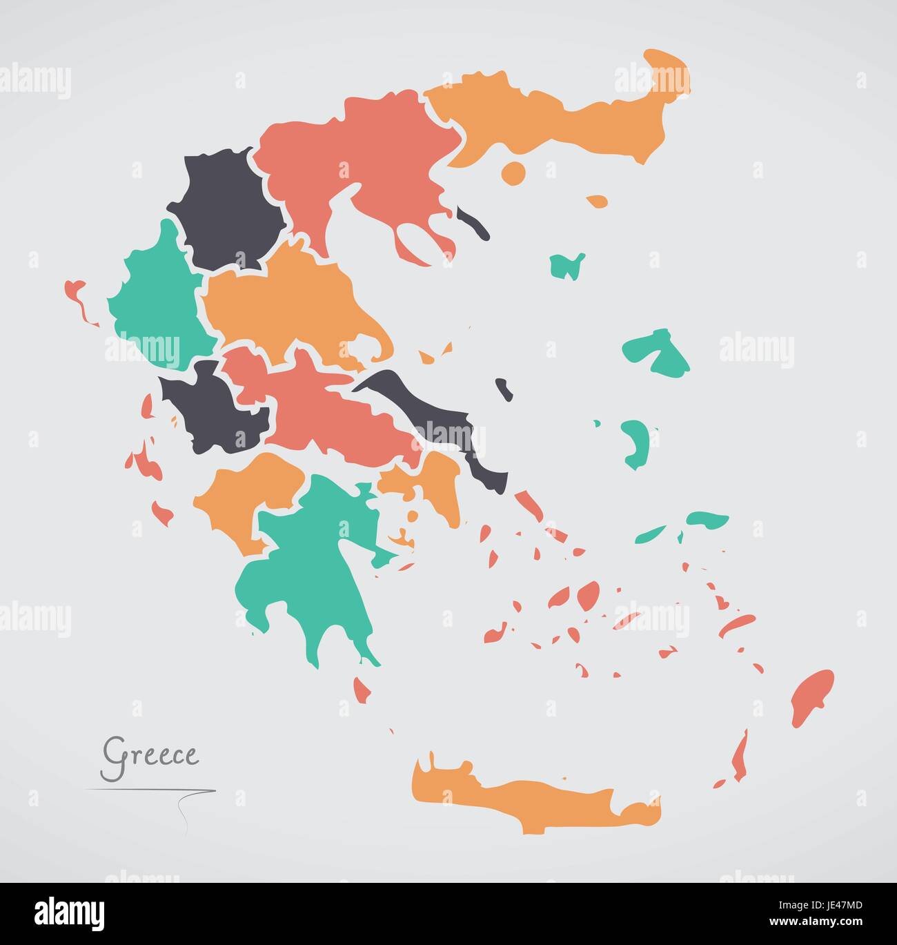 Greece Map with states and modern round shapes Stock Vectorhttps://www.alamy.com/image-license-details/?v=1https://www.alamy.com/stock-photo-greece-map-with-states-and-modern-round-shapes-146381997.html
RFJE47MD–Greece Map with states and modern round shapes
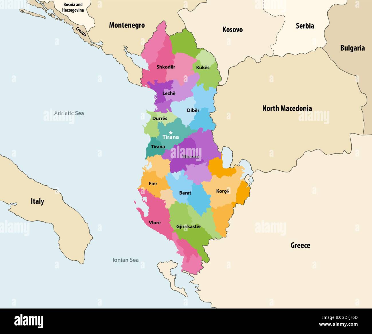 Albania administrative divisions (distrcts) of colored by counties vector map with neighbouring countries and territories Stock Vectorhttps://www.alamy.com/image-license-details/?v=1https://www.alamy.com/albania-administrative-divisions-distrcts-of-colored-by-counties-vector-map-with-neighbouring-countries-and-territories-image388254985.html
RF2DFJF5D–Albania administrative divisions (distrcts) of colored by counties vector map with neighbouring countries and territories
 Greece Map black white Stock Vectorhttps://www.alamy.com/image-license-details/?v=1https://www.alamy.com/stock-photo-greece-map-black-white-127536687.html
RFHBDP9K–Greece Map black white
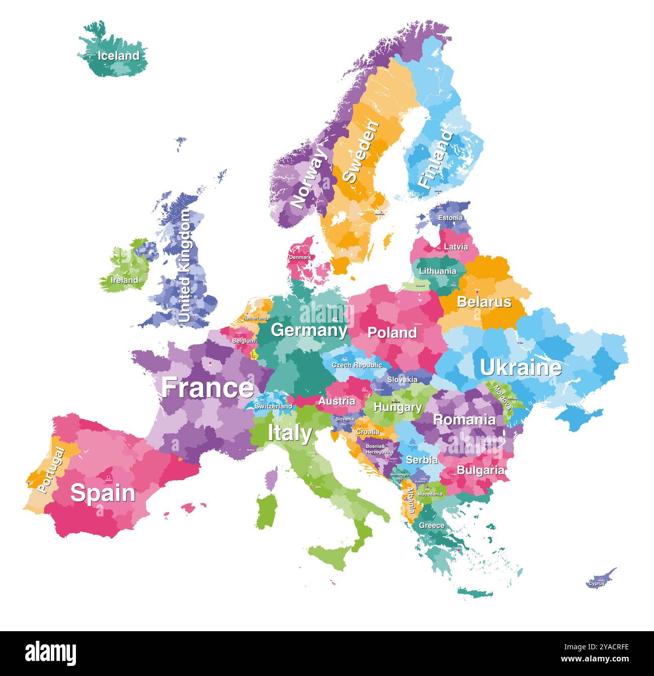 Europe detailed colored map with administrative divisions borders. Vector illustration Stock Vectorhttps://www.alamy.com/image-license-details/?v=1https://www.alamy.com/europe-detailed-colored-map-with-administrative-divisions-borders-vector-illustration-image626001698.html
RF2YACRFE–Europe detailed colored map with administrative divisions borders. Vector illustration
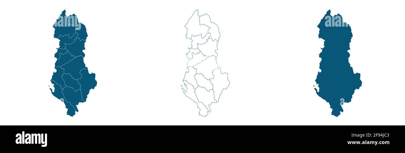 Albania map. Stylized vector map illustration with cities, administrative divisions Stock Vectorhttps://www.alamy.com/image-license-details/?v=1https://www.alamy.com/albania-map-stylized-vector-map-illustration-with-cities-administrative-divisions-image418682995.html
RF2F94JC3–Albania map. Stylized vector map illustration with cities, administrative divisions
RF2H69EXB–Greece map, individual regions with names, Infographics and icons vector
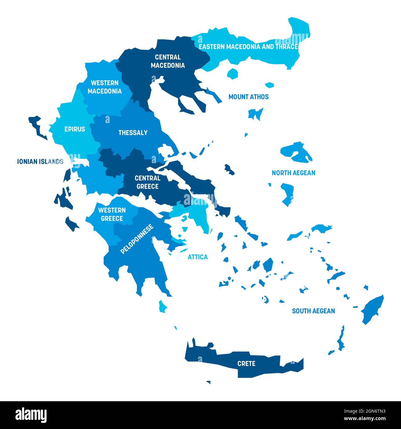 Blue political map of Greece. Administrative divisions - decentralized administrations. Simple flat vector map with labels. Stock Vectorhttps://www.alamy.com/image-license-details/?v=1https://www.alamy.com/blue-political-map-of-greece-administrative-divisions-decentralized-administrations-simple-flat-vector-map-with-labels-image443318095.html
RF2GN6TN3–Blue political map of Greece. Administrative divisions - decentralized administrations. Simple flat vector map with labels.
 Europe map, Infographics flat design colors snow white, with names of individual states vector Stock Vectorhttps://www.alamy.com/image-license-details/?v=1https://www.alamy.com/europe-map-infographics-flat-design-colors-snow-white-with-names-of-individual-states-vector-image389834381.html
RF2DJ6DMD–Europe map, Infographics flat design colors snow white, with names of individual states vector
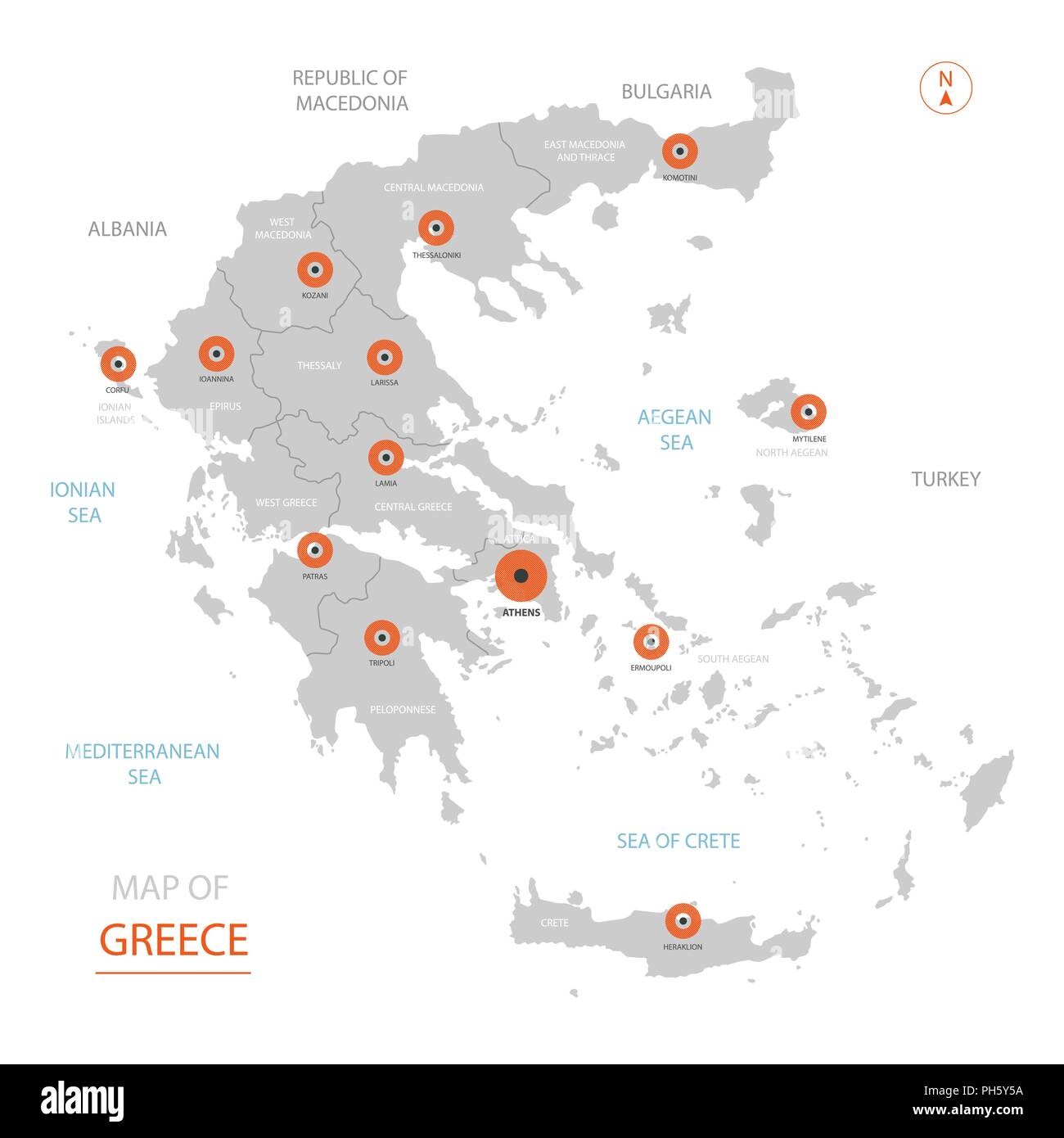 Stylized vector Greece map showing big cities, capital Athens, administrative divisions and country borders Stock Vectorhttps://www.alamy.com/image-license-details/?v=1https://www.alamy.com/stylized-vector-greece-map-showing-big-cities-capital-athens-administrative-divisions-and-country-borders-image217104646.html
RFPH5Y5A–Stylized vector Greece map showing big cities, capital Athens, administrative divisions and country borders
 Greece Map black white Stock Vectorhttps://www.alamy.com/image-license-details/?v=1https://www.alamy.com/stock-photo-greece-map-black-white-127537778.html
RFHBDRMJ–Greece Map black white
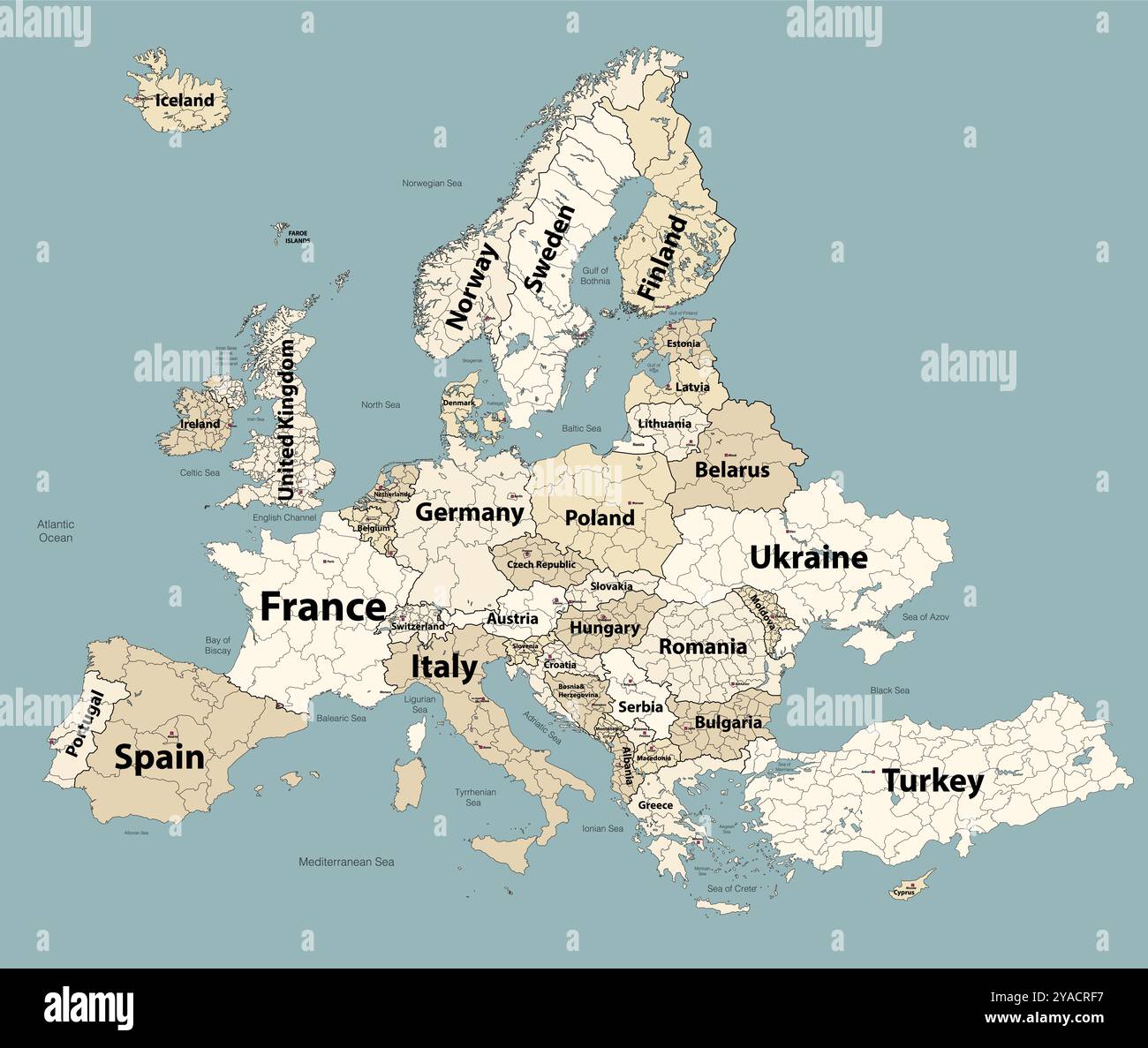 Europe map with administrative divisions borders. Soft beige color palette. Vector illustration Stock Vectorhttps://www.alamy.com/image-license-details/?v=1https://www.alamy.com/europe-map-with-administrative-divisions-borders-soft-beige-color-palette-vector-illustration-image626001691.html
RF2YACRF7–Europe map with administrative divisions borders. Soft beige color palette. Vector illustration
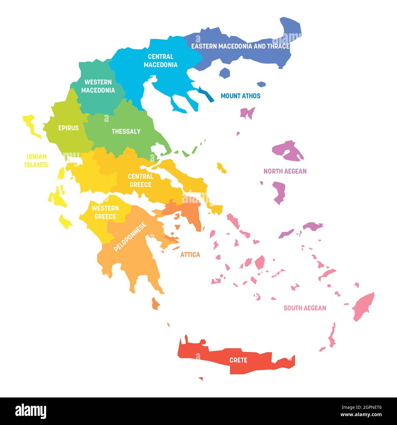 Colorful political map of Greece. Administrative divisions - decentralized administrations. Simple flat vector map with labels. Stock Vectorhttps://www.alamy.com/image-license-details/?v=1https://www.alamy.com/colorful-political-map-of-greece-administrative-divisions-decentralized-administrations-simple-flat-vector-map-with-labels-image444254278.html
RF2GPNET6–Colorful political map of Greece. Administrative divisions - decentralized administrations. Simple flat vector map with labels.
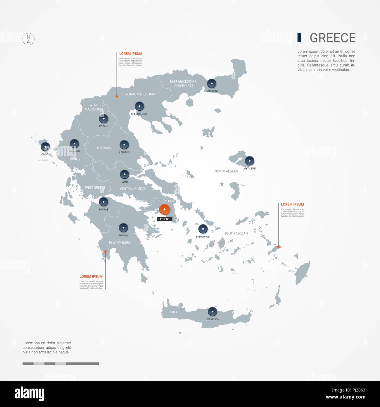 Greece map with borders, cities, capital and administrative divisions. Infographic vector map. Editable layers clearly labeled. Stock Vectorhttps://www.alamy.com/image-license-details/?v=1https://www.alamy.com/greece-map-with-borders-cities-capital-and-administrative-divisions-infographic-vector-map-editable-layers-clearly-labeled-image217632299.html
RFPJ2063–Greece map with borders, cities, capital and administrative divisions. Infographic vector map. Editable layers clearly labeled.
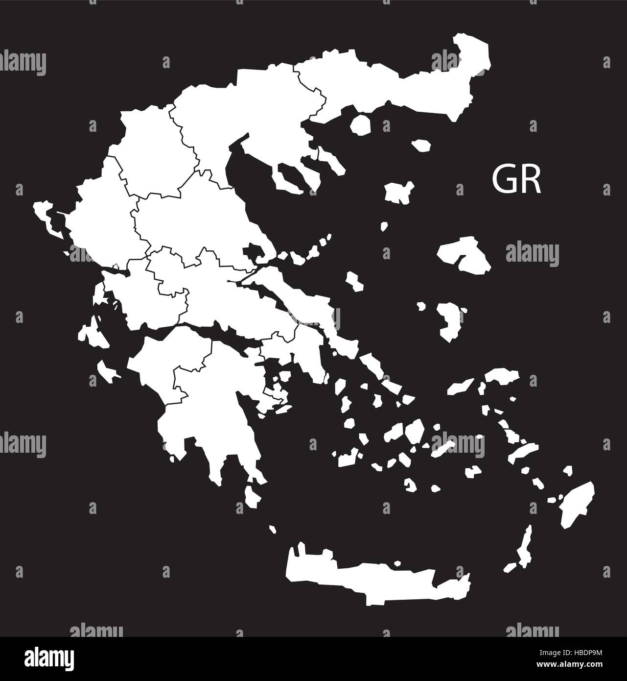 Greece regions Map black white Stock Vectorhttps://www.alamy.com/image-license-details/?v=1https://www.alamy.com/stock-photo-greece-regions-map-black-white-127536688.html
RFHBDP9M–Greece regions Map black white
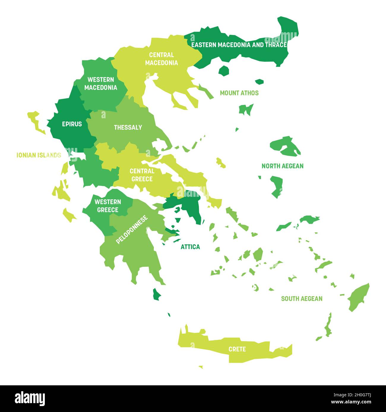 Green political map of Greece. Administrative divisions - decentralized administrations. Simple flat vector map with labels. Stock Vectorhttps://www.alamy.com/image-license-details/?v=1https://www.alamy.com/green-political-map-of-greece-administrative-divisions-decentralized-administrations-simple-flat-vector-map-with-labels-image447826978.html
RF2H0G7TJ–Green political map of Greece. Administrative divisions - decentralized administrations. Simple flat vector map with labels.
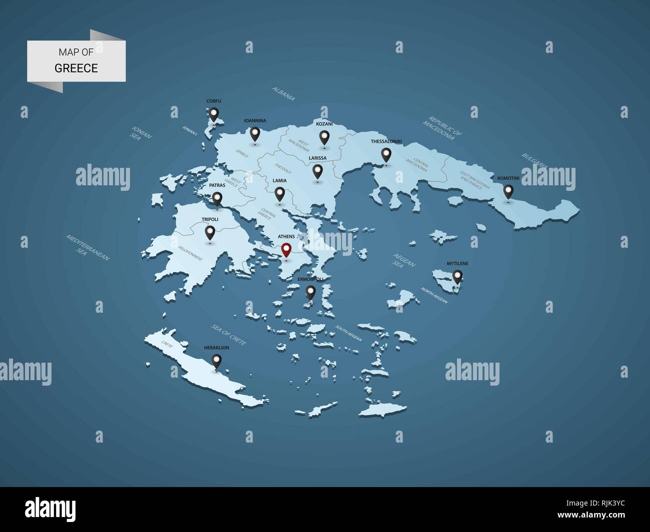 Isometric 3D Greece map, vector illustration with cities, borders, capital, administrative divisions and pointer marks; gradient blue background. Co Stock Vectorhttps://www.alamy.com/image-license-details/?v=1https://www.alamy.com/isometric-3d-greece-map-vector-illustration-with-cities-borders-capital-administrative-divisions-and-pointer-marks-gradient-blue-background-co-image235218800.html
RFRJK3YC–Isometric 3D Greece map, vector illustration with cities, borders, capital, administrative divisions and pointer marks; gradient blue background. Co
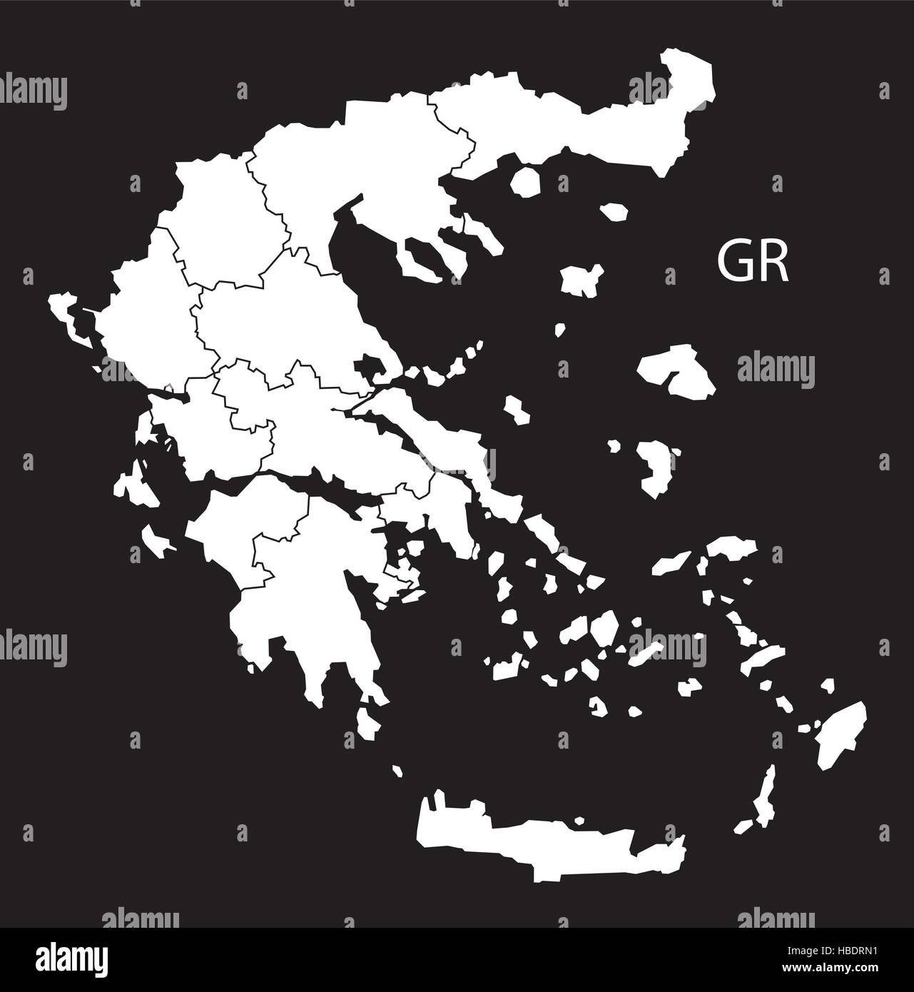 Greece regions Map black white Stock Vectorhttps://www.alamy.com/image-license-details/?v=1https://www.alamy.com/stock-photo-greece-regions-map-black-white-127537789.html
RFHBDRN1–Greece regions Map black white
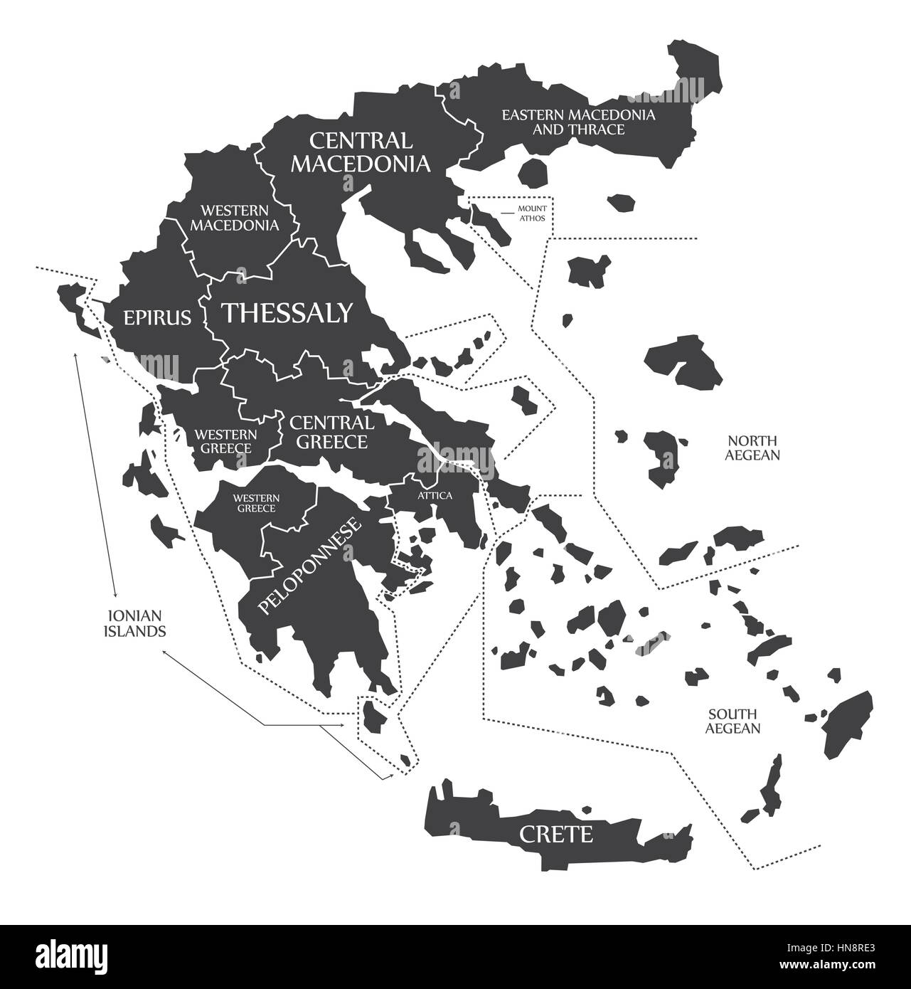 Greece Map labelled black illustration Stock Vectorhttps://www.alamy.com/image-license-details/?v=1https://www.alamy.com/stock-photo-greece-map-labelled-black-illustration-133574395.html
RFHN8RE3–Greece Map labelled black illustration
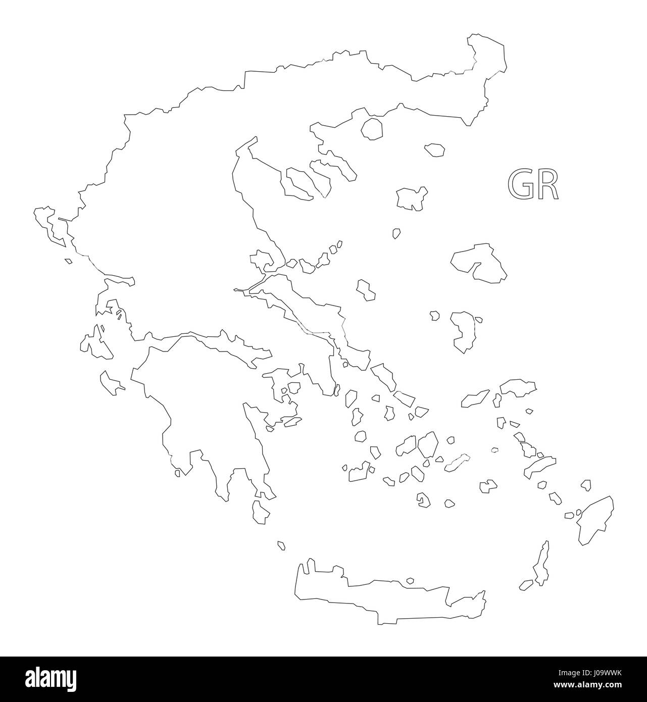 Greece outline silhouette map illustration Stock Vectorhttps://www.alamy.com/image-license-details/?v=1https://www.alamy.com/stock-photo-greece-outline-silhouette-map-illustration-137900831.html
RFJ09WWK–Greece outline silhouette map illustration
 Grey political map of Greece. Administrative divisions - decentralized administrations. Simple flat vector map with labels. Stock Vectorhttps://www.alamy.com/image-license-details/?v=1https://www.alamy.com/grey-political-map-of-greece-administrative-divisions-decentralized-administrations-simple-flat-vector-map-with-labels-image444813375.html
RF2GRJYYY–Grey political map of Greece. Administrative divisions - decentralized administrations. Simple flat vector map with labels.
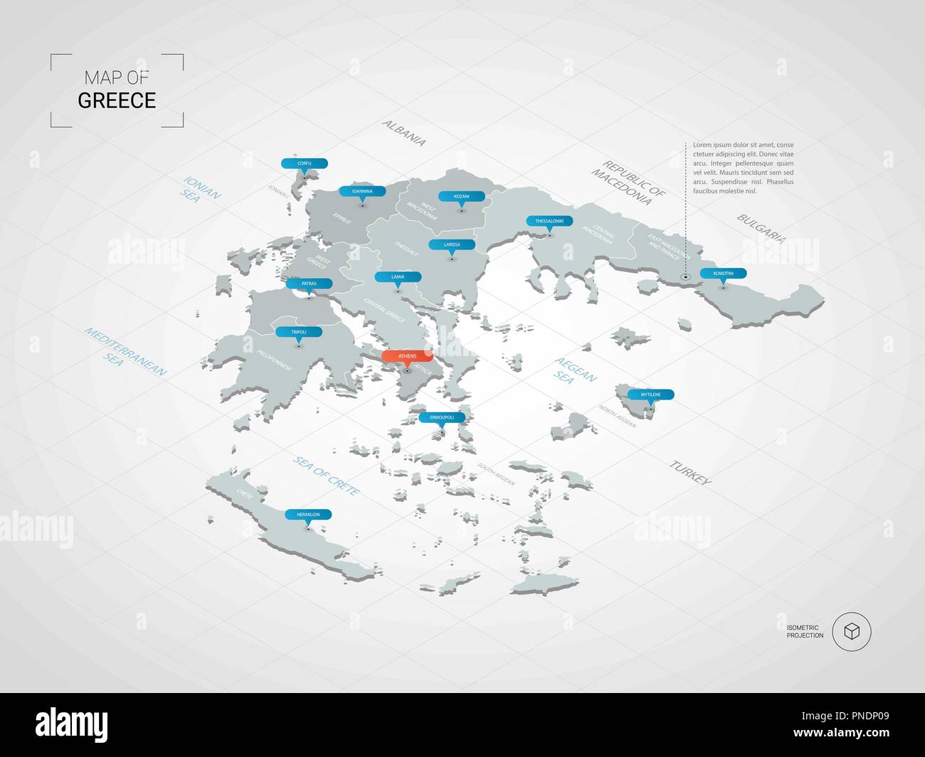 Isometric 3D Greece map. Stylized vector map illustration with cities, borders, capital, administrative divisions and pointer marks; gradient backgro Stock Vectorhttps://www.alamy.com/image-license-details/?v=1https://www.alamy.com/isometric-3d-greece-map-stylized-vector-map-illustration-with-cities-borders-capital-administrative-divisions-and-pointer-marks-gradient-backgro-image219734825.html
RFPNDP09–Isometric 3D Greece map. Stylized vector map illustration with cities, borders, capital, administrative divisions and pointer marks; gradient backgro
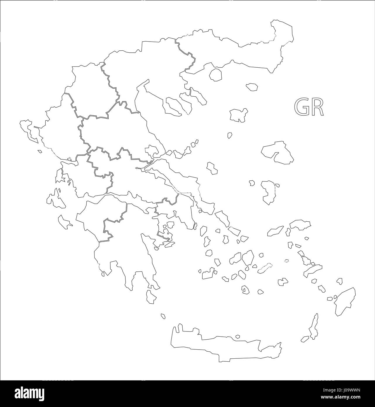 Greece outline silhouette map illustration with regions Stock Vectorhttps://www.alamy.com/image-license-details/?v=1https://www.alamy.com/stock-photo-greece-outline-silhouette-map-illustration-with-regions-137900833.html
RFJ09WWN–Greece outline silhouette map illustration with regions
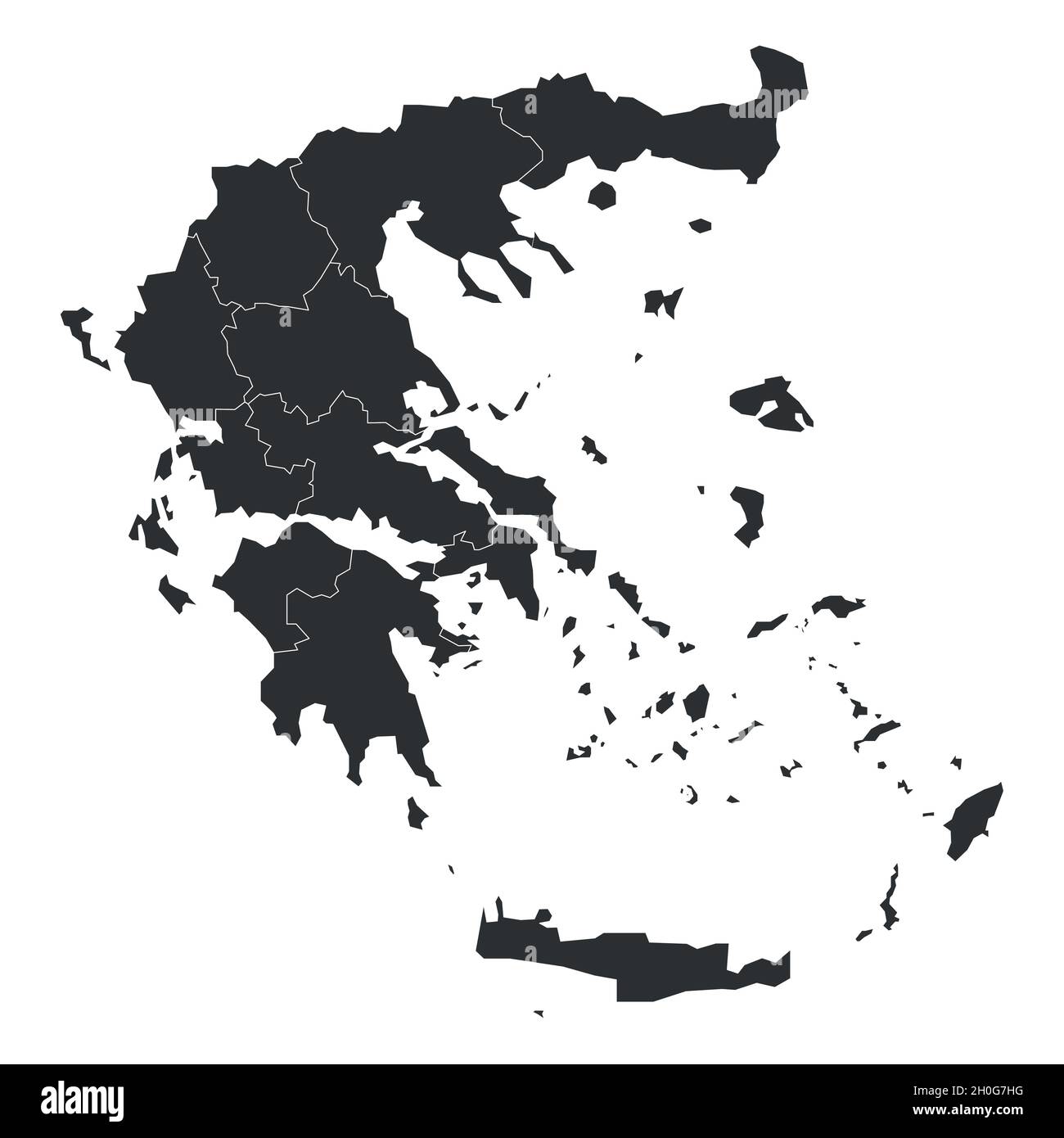 Grey political map of Greece. Administrative divisions - decentralized administrations. Simple flat blank vector map with labels. Stock Vectorhttps://www.alamy.com/image-license-details/?v=1https://www.alamy.com/grey-political-map-of-greece-administrative-divisions-decentralized-administrations-simple-flat-blank-vector-map-with-labels-image447826780.html
RF2H0G7HG–Grey political map of Greece. Administrative divisions - decentralized administrations. Simple flat blank vector map with labels.
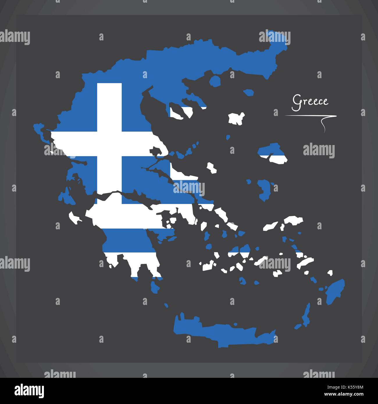 Greece map with Greek national flag illustration Stock Vectorhttps://www.alamy.com/image-license-details/?v=1https://www.alamy.com/greece-map-with-greek-national-flag-illustration-image158097764.html
RFK55Y8M–Greece map with Greek national flag illustration
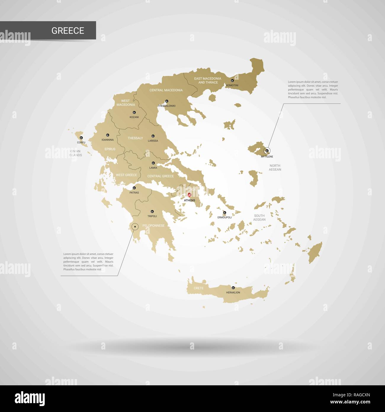 Stylized vector Greece map. Infographic 3d gold map illustration with cities, borders, capital, administrative divisions and pointer marks, shadow; g Stock Vectorhttps://www.alamy.com/image-license-details/?v=1https://www.alamy.com/stylized-vector-greece-map-infographic-3d-gold-map-illustration-with-cities-borders-capital-administrative-divisions-and-pointer-marks-shadow-g-image230242733.html
RFRAGCXN–Stylized vector Greece map. Infographic 3d gold map illustration with cities, borders, capital, administrative divisions and pointer marks, shadow; g
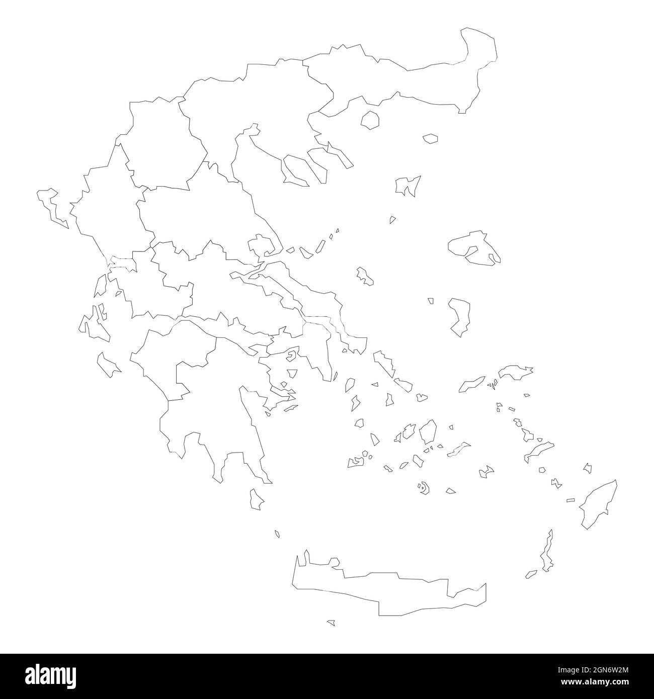 Political map of Greece. Administrative divisions - decentralized administrations. Simple flat blank black outline vector map Stock Vectorhttps://www.alamy.com/image-license-details/?v=1https://www.alamy.com/political-map-of-greece-administrative-divisions-decentralized-administrations-simple-flat-blank-black-outline-vector-map-image443318364.html
RF2GN6W2M–Political map of Greece. Administrative divisions - decentralized administrations. Simple flat blank black outline vector map
 Ipeiros map of Greece with Greek national flag illustration Stock Vectorhttps://www.alamy.com/image-license-details/?v=1https://www.alamy.com/ipeiros-map-of-greece-with-greek-national-flag-illustration-image158097836.html
RFK55YB8–Ipeiros map of Greece with Greek national flag illustration
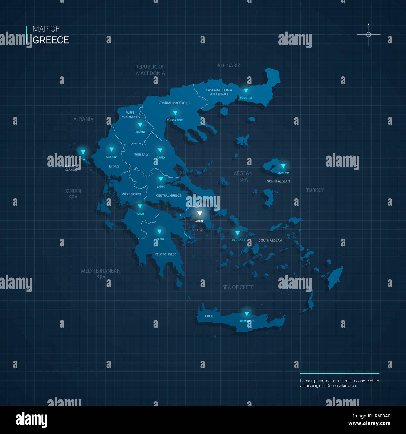 Vector Greece map illustration with blue neon lightpoints - triangle on dark blue gradient background. Administrative divisions Stock Vectorhttps://www.alamy.com/image-license-details/?v=1https://www.alamy.com/vector-greece-map-illustration-with-blue-neon-lightpoints-triangle-on-dark-blue-gradient-background-administrative-divisions-image228990230.html
RFR8FBAE–Vector Greece map illustration with blue neon lightpoints - triangle on dark blue gradient background. Administrative divisions
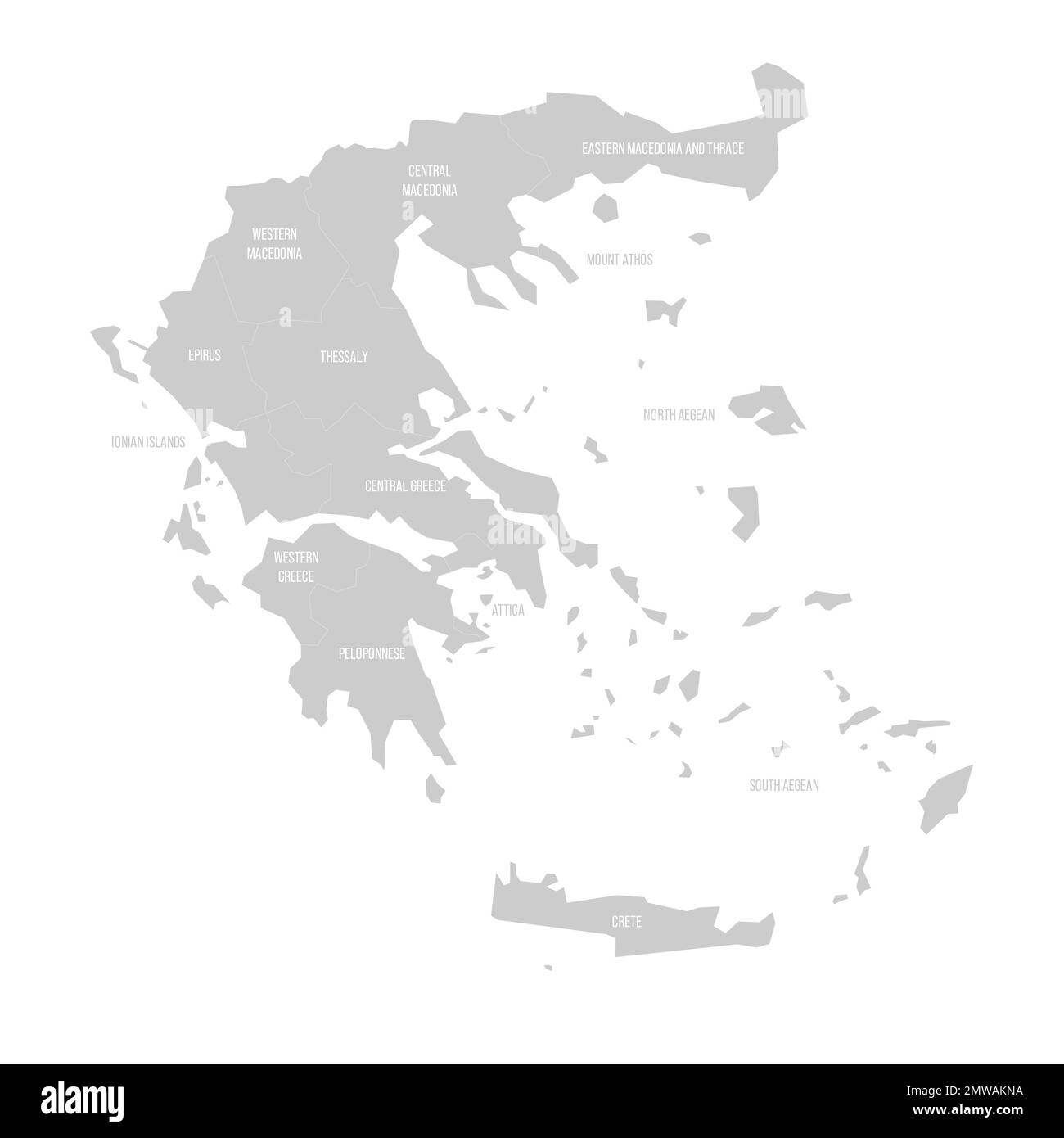 Greece political map of administrative divisions Stock Vectorhttps://www.alamy.com/image-license-details/?v=1https://www.alamy.com/greece-political-map-of-administrative-divisions-image514702086.html
RF2MWAKNA–Greece political map of administrative divisions
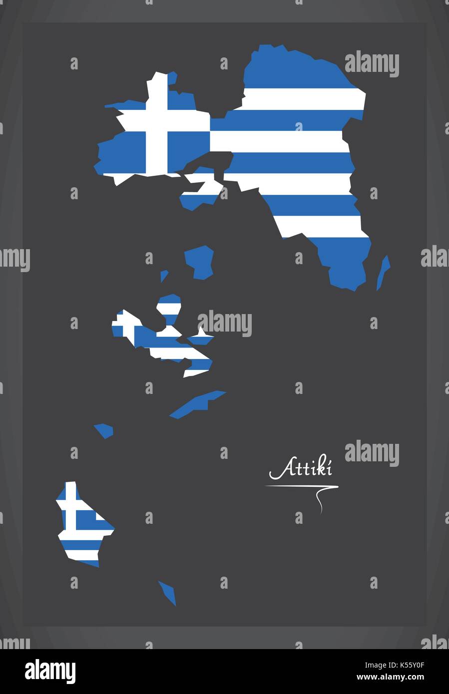 Attiki map of Greece with Greek national flag illustration Stock Vectorhttps://www.alamy.com/image-license-details/?v=1https://www.alamy.com/attiki-map-of-greece-with-greek-national-flag-illustration-image158097535.html
RFK55Y0F–Attiki map of Greece with Greek national flag illustration
 Greece political map of administrative divisions Stock Vectorhttps://www.alamy.com/image-license-details/?v=1https://www.alamy.com/greece-political-map-of-administrative-divisions-image515209641.html
RF2MX5R49–Greece political map of administrative divisions
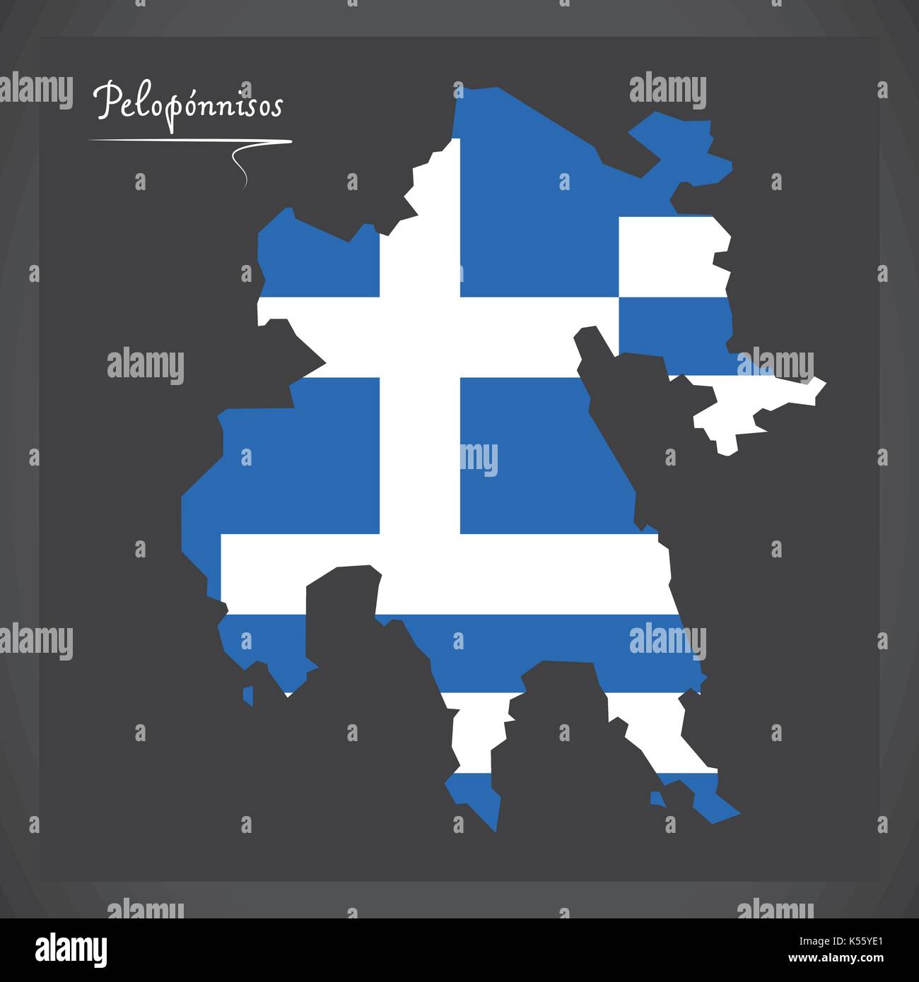 Peloponnisos map of Greece with Greek national flag illustration Stock Vectorhttps://www.alamy.com/image-license-details/?v=1https://www.alamy.com/peloponnisos-map-of-greece-with-greek-national-flag-illustration-image158097913.html
RFK55YE1–Peloponnisos map of Greece with Greek national flag illustration
 Greece political map of administrative divisions Stock Vectorhttps://www.alamy.com/image-license-details/?v=1https://www.alamy.com/greece-political-map-of-administrative-divisions-image515259246.html
RF2MX82BX–Greece political map of administrative divisions
 Kriti map of Greece with Greek national flag illustration Stock Vectorhttps://www.alamy.com/image-license-details/?v=1https://www.alamy.com/kriti-map-of-greece-with-greek-national-flag-illustration-image158097874.html
RFK55YCJ–Kriti map of Greece with Greek national flag illustration
 Greece political map of administrative divisions Stock Vectorhttps://www.alamy.com/image-license-details/?v=1https://www.alamy.com/greece-political-map-of-administrative-divisions-image513146633.html
RF2MPRRND–Greece political map of administrative divisions
 Thessalia map of Greece with Greek national flag illustration Stock Vectorhttps://www.alamy.com/image-license-details/?v=1https://www.alamy.com/thessalia-map-of-greece-with-greek-national-flag-illustration-image158097434.html
RFK55XTX–Thessalia map of Greece with Greek national flag illustration
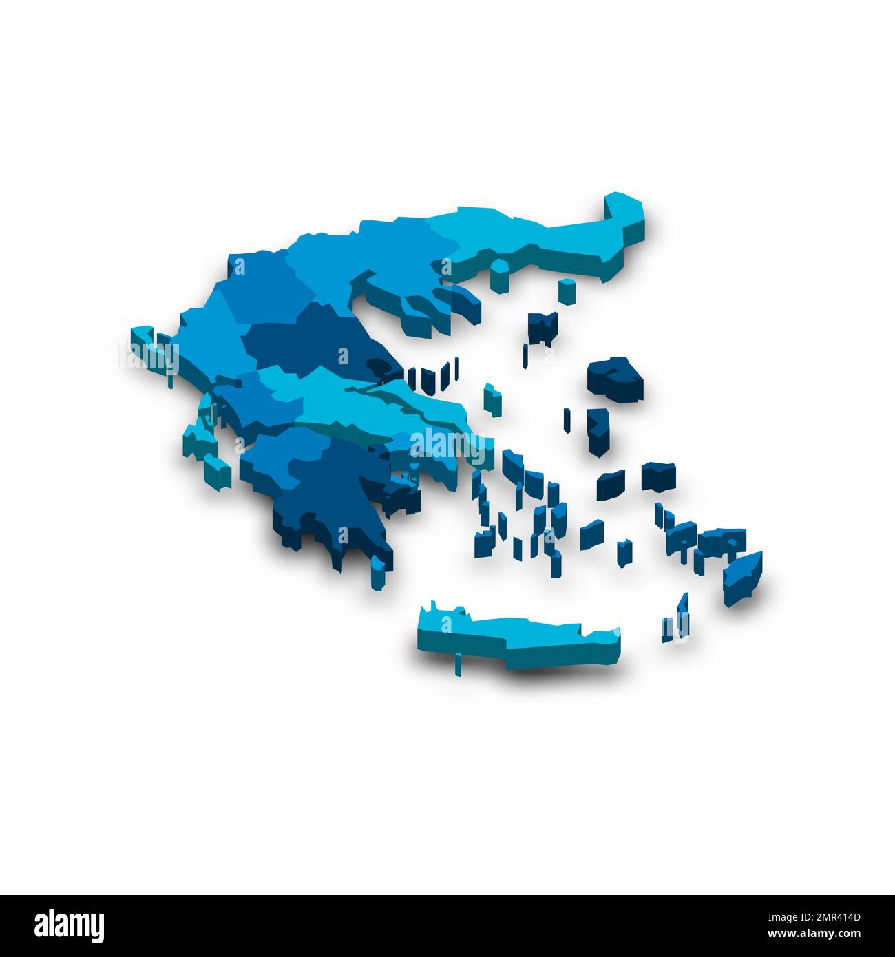 Greece political map of administrative divisions Stock Vectorhttps://www.alamy.com/image-license-details/?v=1https://www.alamy.com/greece-political-map-of-administrative-divisions-image513326477.html
RF2MR414D–Greece political map of administrative divisions
 Agio Oros map of Greece with Greek national flag illustration Stock Vectorhttps://www.alamy.com/image-license-details/?v=1https://www.alamy.com/agio-oros-map-of-greece-with-greek-national-flag-illustration-image158097449.html
RFK55XWD–Agio Oros map of Greece with Greek national flag illustration
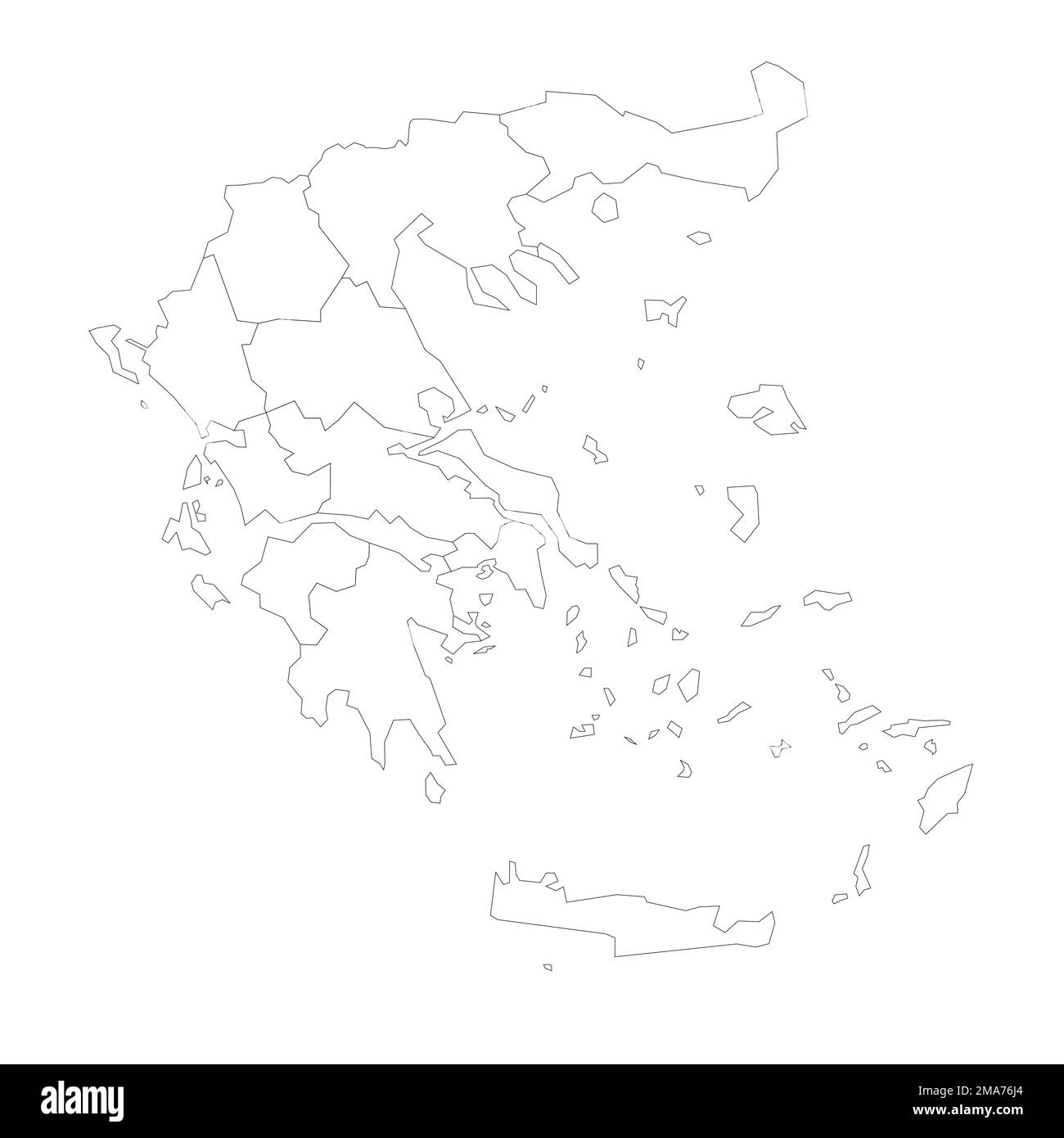 Greece political map of administrative divisions Stock Vectorhttps://www.alamy.com/image-license-details/?v=1https://www.alamy.com/greece-political-map-of-administrative-divisions-image505406108.html
RF2MA76J4–Greece political map of administrative divisions
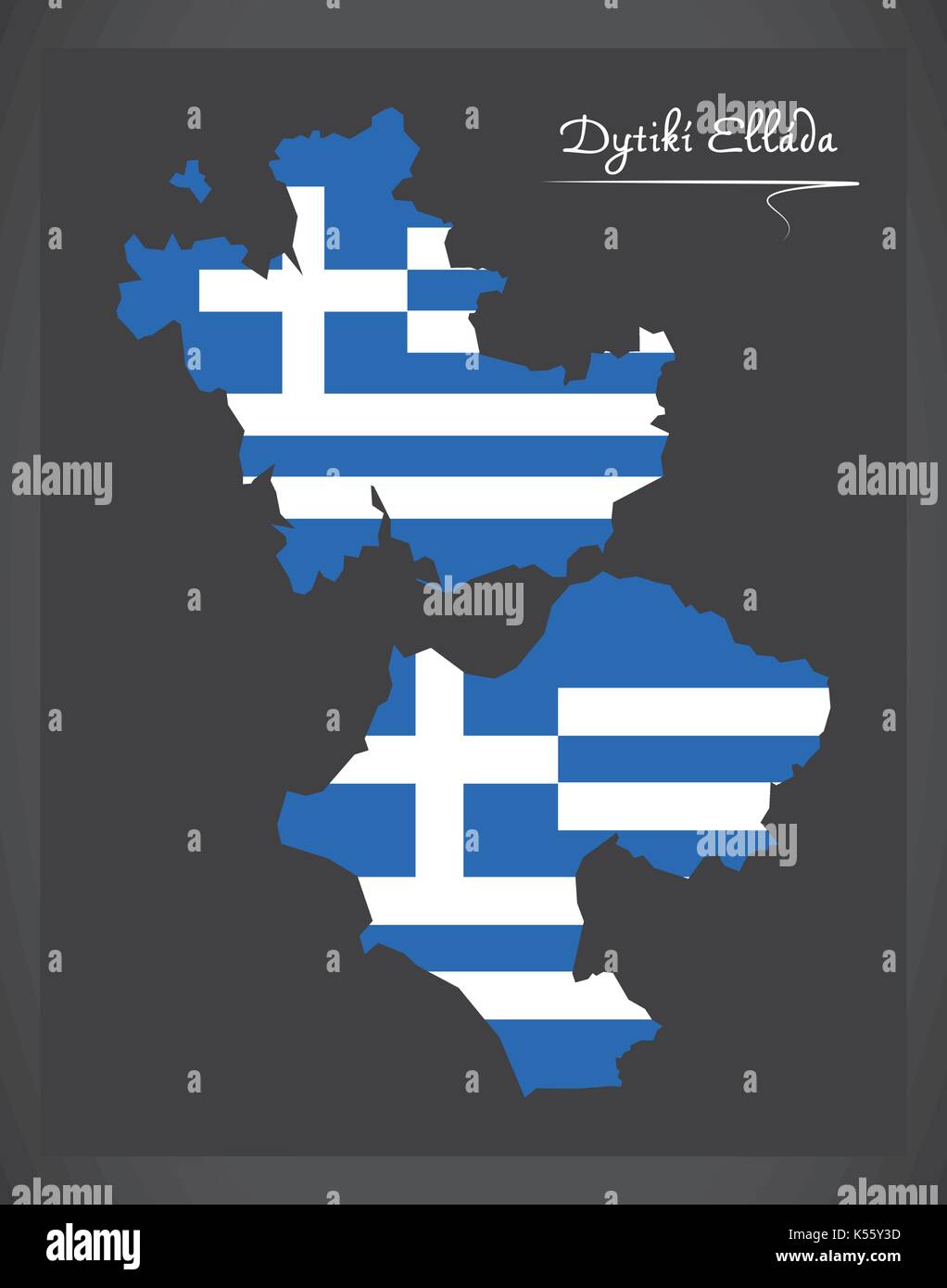 Dytiki Ellada map of Greece with Greek national flag illustration Stock Vectorhttps://www.alamy.com/image-license-details/?v=1https://www.alamy.com/dytiki-ellada-map-of-greece-with-greek-national-flag-illustration-image158097617.html
RFK55Y3D–Dytiki Ellada map of Greece with Greek national flag illustration
 Greece political map of administrative divisions - decentralized administrations and autonomous monastic state of Mount Athos. Map with labels. Stock Vectorhttps://www.alamy.com/image-license-details/?v=1https://www.alamy.com/greece-political-map-of-administrative-divisions-decentralized-administrations-and-autonomous-monastic-state-of-mount-athos-map-with-labels-image529375509.html
RF2NN73T5–Greece political map of administrative divisions - decentralized administrations and autonomous monastic state of Mount Athos. Map with labels.
 Dytiki Makedonia map of Greece with Greek national flag illustration Stock Vectorhttps://www.alamy.com/image-license-details/?v=1https://www.alamy.com/dytiki-makedonia-map-of-greece-with-greek-national-flag-illustration-image158097699.html
RFK55Y6B–Dytiki Makedonia map of Greece with Greek national flag illustration
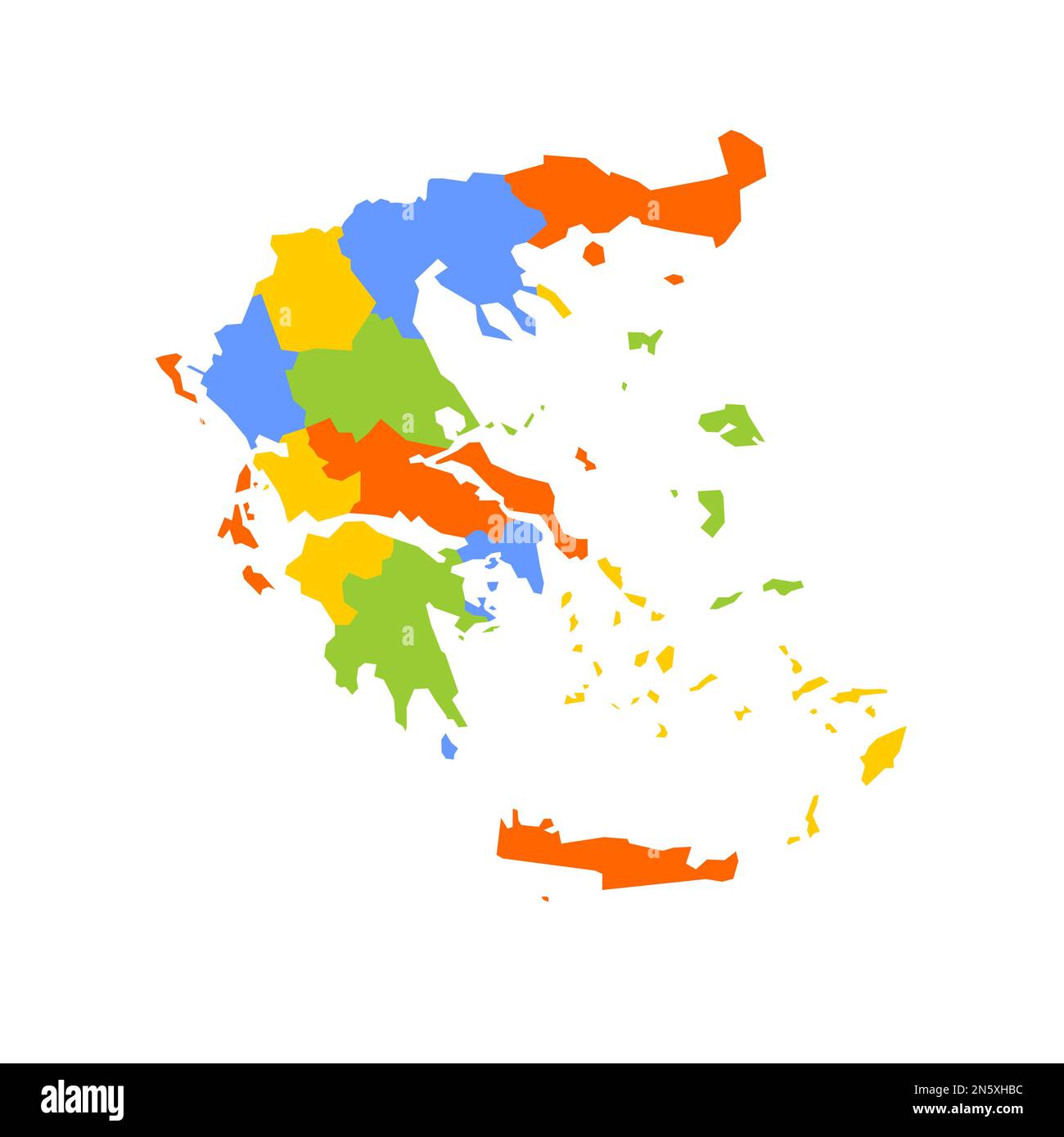 Greece political map of administrative divisions - decentralized administrations and autonomous monastic state of Mount Athos. Blank colorful vector map. Stock Vectorhttps://www.alamy.com/image-license-details/?v=1https://www.alamy.com/greece-political-map-of-administrative-divisions-decentralized-administrations-and-autonomous-monastic-state-of-mount-athos-blank-colorful-vector-map-image519968720.html
RF2N5XHBC–Greece political map of administrative divisions - decentralized administrations and autonomous monastic state of Mount Athos. Blank colorful vector map.
 Voreio Aigaio map of Greece with Greek national flag illustration Stock Vectorhttps://www.alamy.com/image-license-details/?v=1https://www.alamy.com/voreio-aigaio-map-of-greece-with-greek-national-flag-illustration-image158097438.html
RFK55XW2–Voreio Aigaio map of Greece with Greek national flag illustration
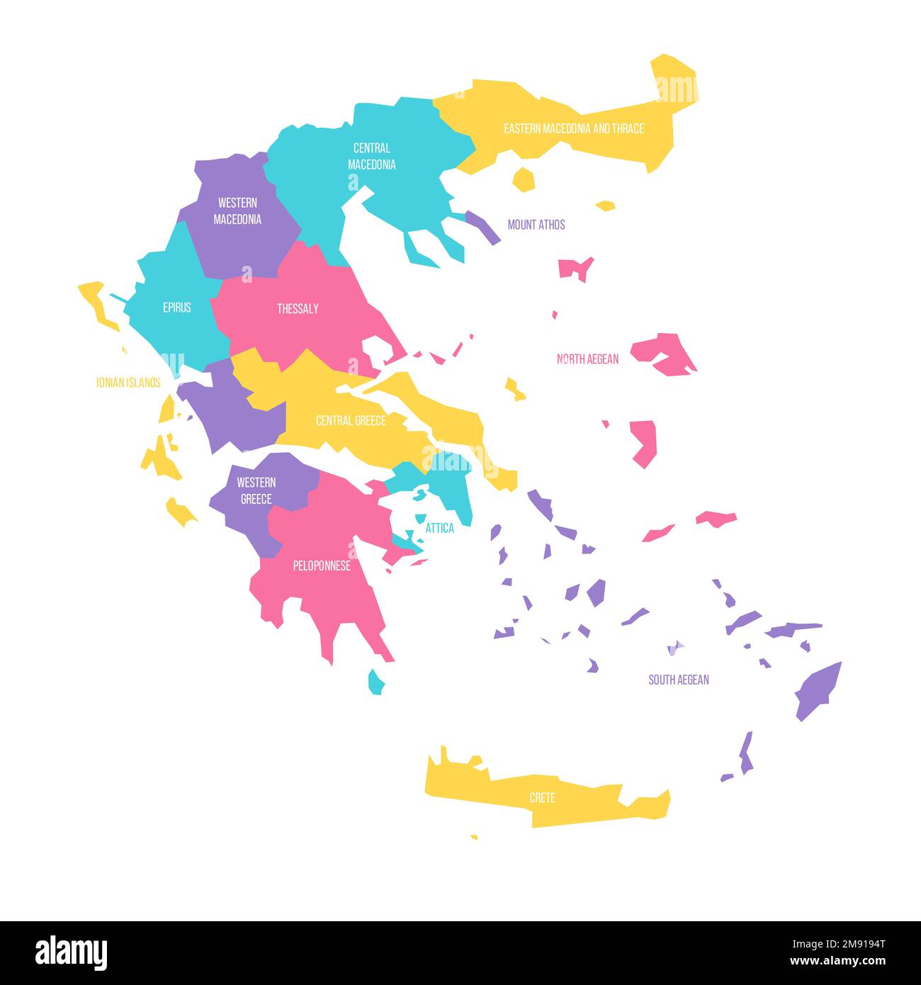 Greece political map of administrative divisions - decentralized administrations and autonomous monastic state of Mount Athos. Colorful vector map with labels. Stock Vectorhttps://www.alamy.com/image-license-details/?v=1https://www.alamy.com/greece-political-map-of-administrative-divisions-decentralized-administrations-and-autonomous-monastic-state-of-mount-athos-colorful-vector-map-with-labels-image504661720.html
RF2M9194T–Greece political map of administrative divisions - decentralized administrations and autonomous monastic state of Mount Athos. Colorful vector map with labels.
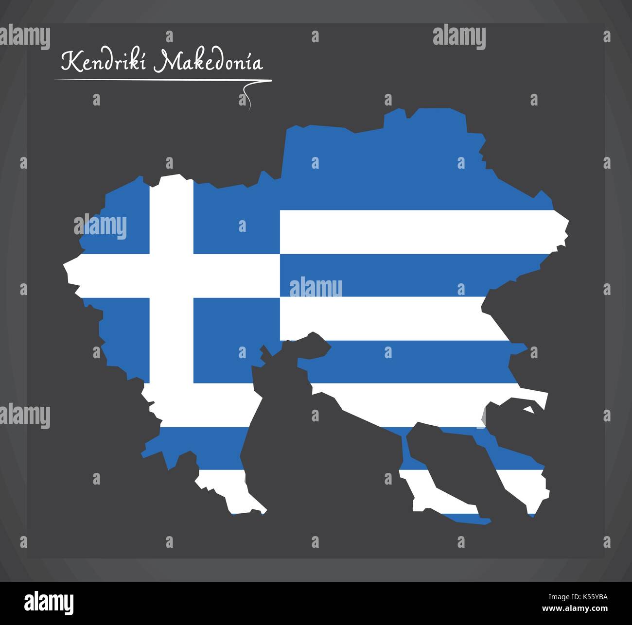 Kendriki Makedonia map of Greece with Greek national flag illustration Stock Vectorhttps://www.alamy.com/image-license-details/?v=1https://www.alamy.com/kendriki-makedonia-map-of-greece-with-greek-national-flag-illustration-image158097838.html
RFK55YBA–Kendriki Makedonia map of Greece with Greek national flag illustration
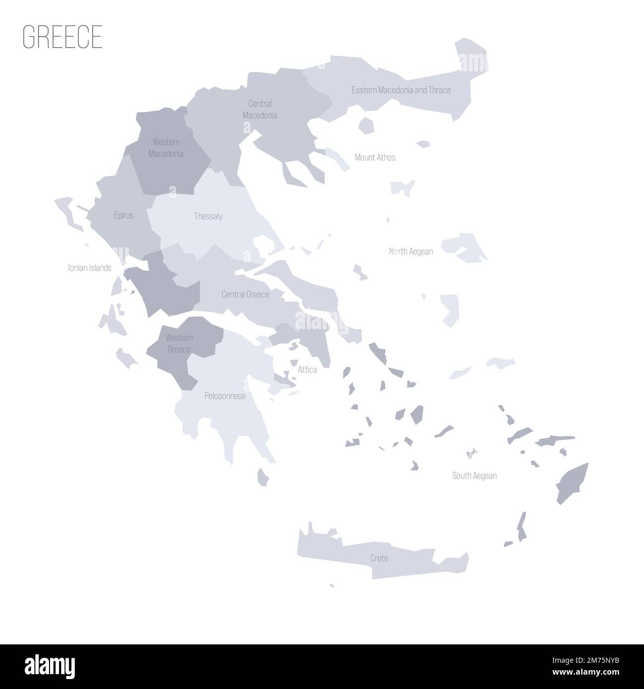 Greece political map of administrative divisions - decentralized administrations and autonomous monastic state of Mount Athos. Grey vector map with labels. Stock Vectorhttps://www.alamy.com/image-license-details/?v=1https://www.alamy.com/greece-political-map-of-administrative-divisions-decentralized-administrations-and-autonomous-monastic-state-of-mount-athos-grey-vector-map-with-labels-image503530255.html
RF2M75NYB–Greece political map of administrative divisions - decentralized administrations and autonomous monastic state of Mount Athos. Grey vector map with labels.
 Sterea Ellada map of Greece with Greek national flag illustration Stock Vectorhttps://www.alamy.com/image-license-details/?v=1https://www.alamy.com/sterea-ellada-map-of-greece-with-greek-national-flag-illustration-image158097428.html
RFK55XTM–Sterea Ellada map of Greece with Greek national flag illustration
 Greece political map of administrative divisions - decentralized administrations and autonomous monastic state of Mount Athos. 3D map in shades of orange color. Stock Vectorhttps://www.alamy.com/image-license-details/?v=1https://www.alamy.com/greece-political-map-of-administrative-divisions-decentralized-administrations-and-autonomous-monastic-state-of-mount-athos-3d-map-in-shades-of-orange-color-image526915408.html
RF2NH71YC–Greece political map of administrative divisions - decentralized administrations and autonomous monastic state of Mount Athos. 3D map in shades of orange color.
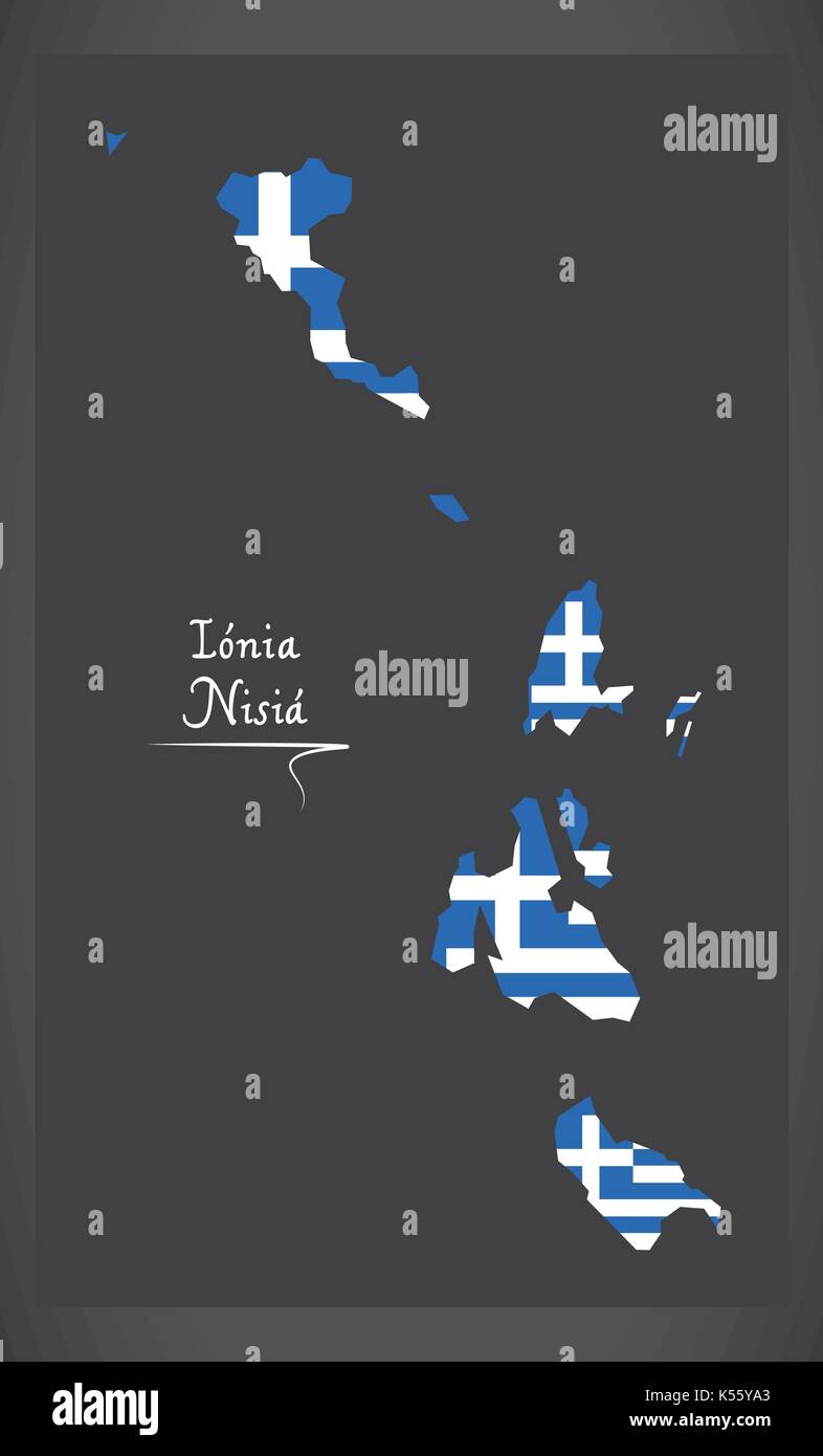 Ionia Nisia map of Greece with Greek national flag illustration Stock Vectorhttps://www.alamy.com/image-license-details/?v=1https://www.alamy.com/ionia-nisia-map-of-greece-with-greek-national-flag-illustration-image158097803.html
RFK55YA3–Ionia Nisia map of Greece with Greek national flag illustration
 Greece political map of administrative divisions - decentralized administrations and autonomous monastic state of Mount Athos. Blank black map and country name title. Stock Vectorhttps://www.alamy.com/image-license-details/?v=1https://www.alamy.com/greece-political-map-of-administrative-divisions-decentralized-administrations-and-autonomous-monastic-state-of-mount-athos-blank-black-map-and-country-name-title-image530432847.html
RF2NPY8E7–Greece political map of administrative divisions - decentralized administrations and autonomous monastic state of Mount Athos. Blank black map and country name title.
 Anatoliki Makedonia kai Thraki map of Greece with Greek national flag illustration Stock Vectorhttps://www.alamy.com/image-license-details/?v=1https://www.alamy.com/anatoliki-makedonia-kai-thraki-map-of-greece-with-greek-national-flag-image158097487.html
RFK55XXR–Anatoliki Makedonia kai Thraki map of Greece with Greek national flag illustration
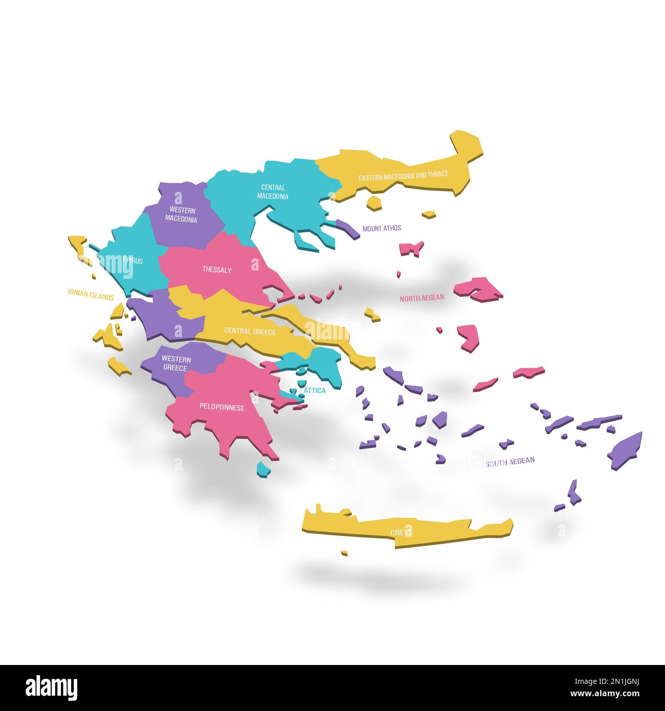 Greece political map of administrative divisions - decentralized administrations and autonomous monastic state of Mount Athos. 3D colorful vector map with name labels. Stock Vectorhttps://www.alamy.com/image-license-details/?v=1https://www.alamy.com/greece-political-map-of-administrative-divisions-decentralized-administrations-and-autonomous-monastic-state-of-mount-athos-3d-colorful-vector-map-with-name-labels-image517333982.html
RF2N1JGNJ–Greece political map of administrative divisions - decentralized administrations and autonomous monastic state of Mount Athos. 3D colorful vector map with name labels.
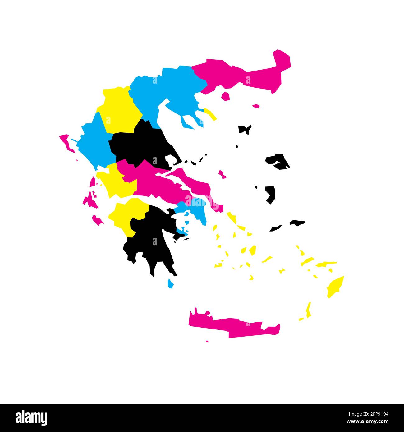 Greece political map of administrative divisions - decentralized administrations and autonomous monastic state of Mount Athos. Blank vector map in CMYK colors. Stock Vectorhttps://www.alamy.com/image-license-details/?v=1https://www.alamy.com/greece-political-map-of-administrative-divisions-decentralized-administrations-and-autonomous-monastic-state-of-mount-athos-blank-vector-map-in-cmyk-colors-image547254992.html
RF2PP9H94–Greece political map of administrative divisions - decentralized administrations and autonomous monastic state of Mount Athos. Blank vector map in CMYK colors.
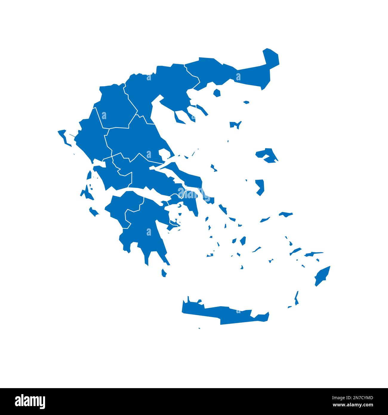 Greece political map of administrative divisions - decentralized administrations and autonomous monastic state of Mount Athos. Solid blue blank vector map with white borders. Stock Vectorhttps://www.alamy.com/image-license-details/?v=1https://www.alamy.com/greece-political-map-of-administrative-divisions-decentralized-administrations-and-autonomous-monastic-state-of-mount-athos-solid-blue-blank-vector-map-with-white-borders-image520898797.html
RF2N7CYMD–Greece political map of administrative divisions - decentralized administrations and autonomous monastic state of Mount Athos. Solid blue blank vector map with white borders.
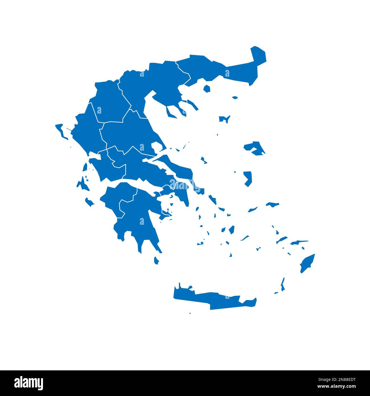 Greece political map of administrative divisions - decentralized administrations and autonomous monastic state of Mount Athos. Solid blue blank vector map with white borders. Stock Vectorhttps://www.alamy.com/image-license-details/?v=1https://www.alamy.com/greece-political-map-of-administrative-divisions-decentralized-administrations-and-autonomous-monastic-state-of-mount-athos-solid-blue-blank-vector-map-with-white-borders-image521415268.html
RF2N88EDT–Greece political map of administrative divisions - decentralized administrations and autonomous monastic state of Mount Athos. Solid blue blank vector map with white borders.
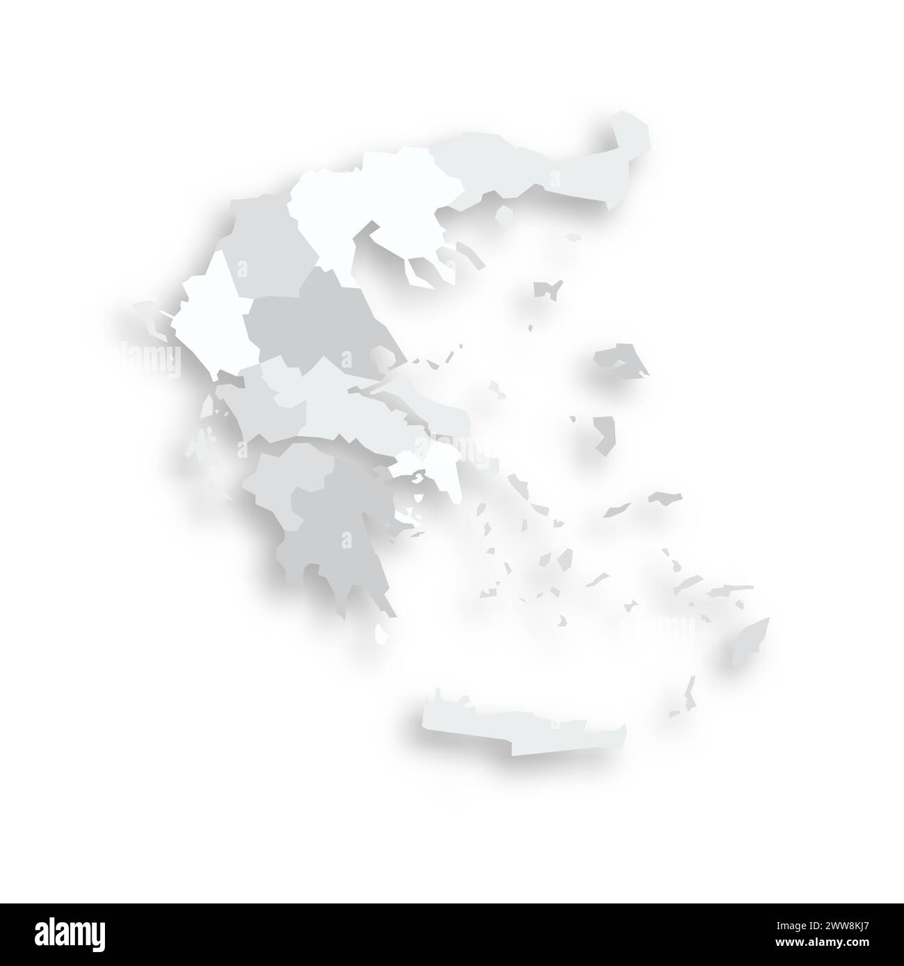 Greece political map of administrative divisions - decentralized administrations and autonomous monastic state of Mount Athos. Grey blank flat vector map with dropped shadow. Stock Vectorhttps://www.alamy.com/image-license-details/?v=1https://www.alamy.com/greece-political-map-of-administrative-divisions-decentralized-administrations-and-autonomous-monastic-state-of-mount-athos-grey-blank-flat-vector-map-with-dropped-shadow-image600709935.html
RF2WW8KJ7–Greece political map of administrative divisions - decentralized administrations and autonomous monastic state of Mount Athos. Grey blank flat vector map with dropped shadow.
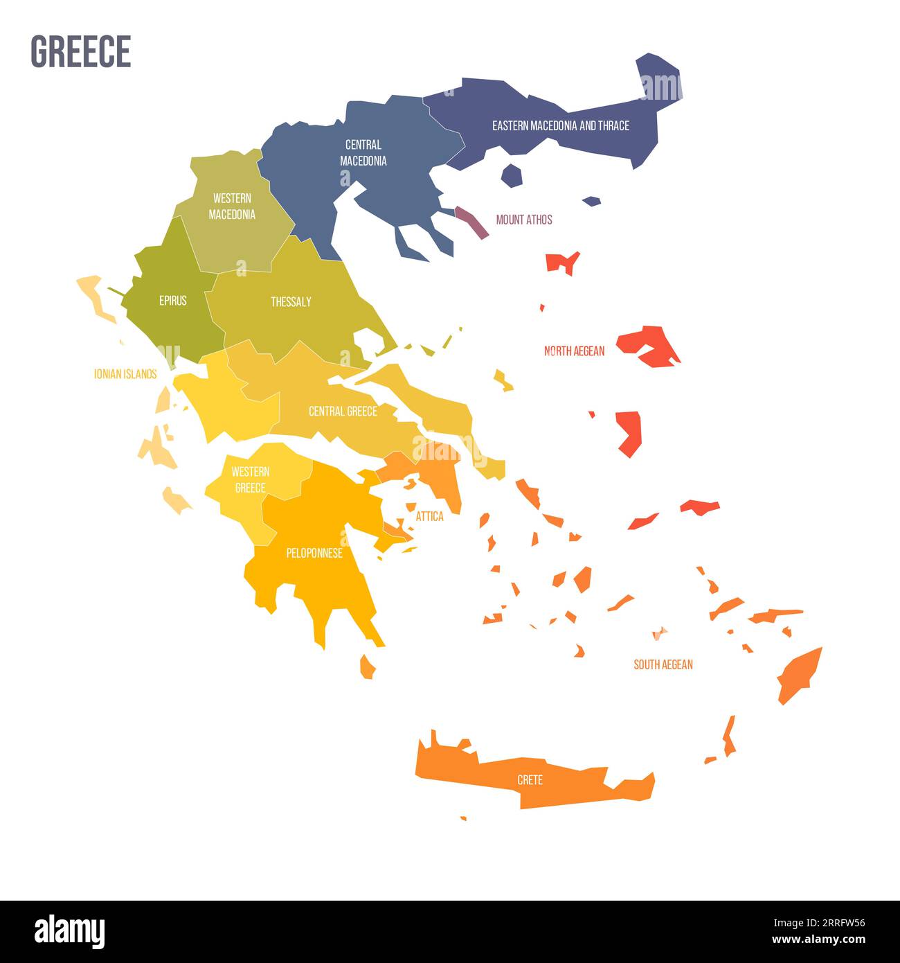 Greece political map of administrative divisions - decentralized administrations and autonomous monastic state of Mount Athos. Colorful spectrum political map with labels and country name. Stock Vectorhttps://www.alamy.com/image-license-details/?v=1https://www.alamy.com/greece-political-map-of-administrative-divisions-decentralized-administrations-and-autonomous-monastic-state-of-mount-athos-colorful-spectrum-political-map-with-labels-and-country-name-image565217890.html
RF2RRFW56–Greece political map of administrative divisions - decentralized administrations and autonomous monastic state of Mount Athos. Colorful spectrum political map with labels and country name.
 Greece political map of administrative divisions - decentralized administrations and autonomous monastic state of Mount Athos. 3D isometric blank vector map in shades of grey. Stock Vectorhttps://www.alamy.com/image-license-details/?v=1https://www.alamy.com/greece-political-map-of-administrative-divisions-decentralized-administrations-and-autonomous-monastic-state-of-mount-athos-3d-isometric-blank-vector-map-in-shades-of-grey-image531495450.html
RF2NTKKTA–Greece political map of administrative divisions - decentralized administrations and autonomous monastic state of Mount Athos. 3D isometric blank vector map in shades of grey.
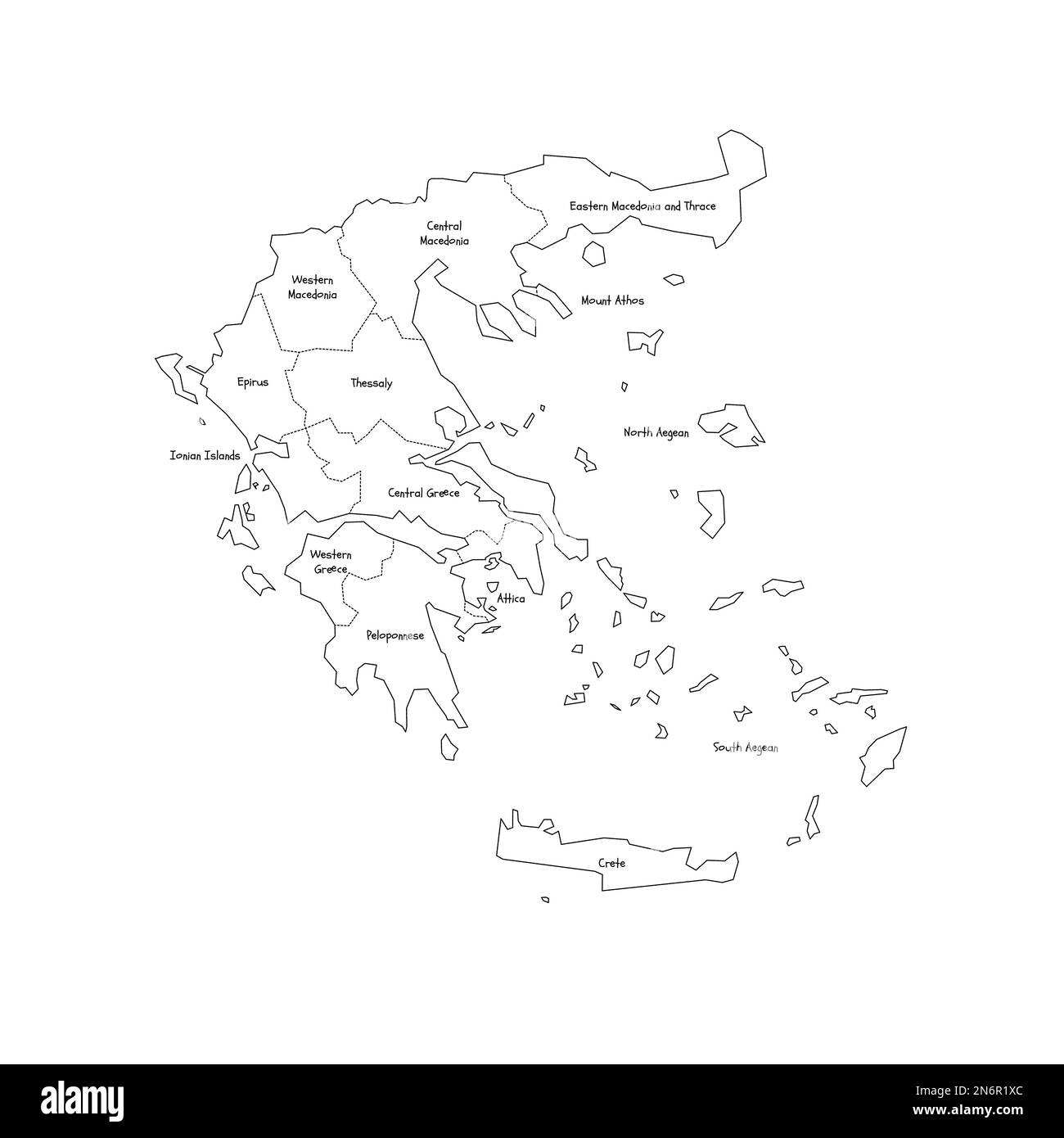 Greece political map of administrative divisions - decentralized administrations and autonomous monastic state of Mount Athos. Handdrawn doodle style map with black outline borders and name labels. Stock Vectorhttps://www.alamy.com/image-license-details/?v=1https://www.alamy.com/greece-political-map-of-administrative-divisions-decentralized-administrations-and-autonomous-monastic-state-of-mount-athos-handdrawn-doodle-style-map-with-black-outline-borders-and-name-labels-image520505396.html
RF2N6R1XC–Greece political map of administrative divisions - decentralized administrations and autonomous monastic state of Mount Athos. Handdrawn doodle style map with black outline borders and name labels.
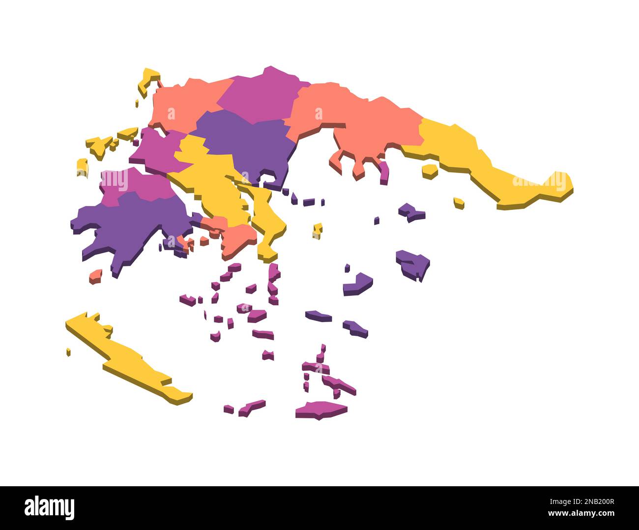 Greece political map of administrative divisions - decentralized administrations and autonomous monastic state of Mount Athos. Isometric 3D blank vector map in four colors scheme. Stock Vectorhttps://www.alamy.com/image-license-details/?v=1https://www.alamy.com/greece-political-map-of-administrative-divisions-decentralized-administrations-and-autonomous-monastic-state-of-mount-athos-isometric-3d-blank-vector-map-in-four-colors-scheme-image523116183.html
RF2NB200R–Greece political map of administrative divisions - decentralized administrations and autonomous monastic state of Mount Athos. Isometric 3D blank vector map in four colors scheme.
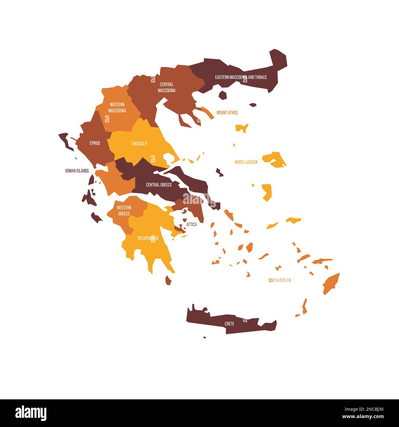 Greece political map of administrative divisions - decentralized administrations and autonomous monastic state of Mount Athos. Flat vector map with name labels. Brown - orange color scheme. Stock Vectorhttps://www.alamy.com/image-license-details/?v=1https://www.alamy.com/greece-political-map-of-administrative-divisions-decentralized-administrations-and-autonomous-monastic-state-of-mount-athos-flat-vector-map-with-name-labels-brown-orange-color-scheme-image523942586.html
RF2NCBJ36–Greece political map of administrative divisions - decentralized administrations and autonomous monastic state of Mount Athos. Flat vector map with name labels. Brown - orange color scheme.
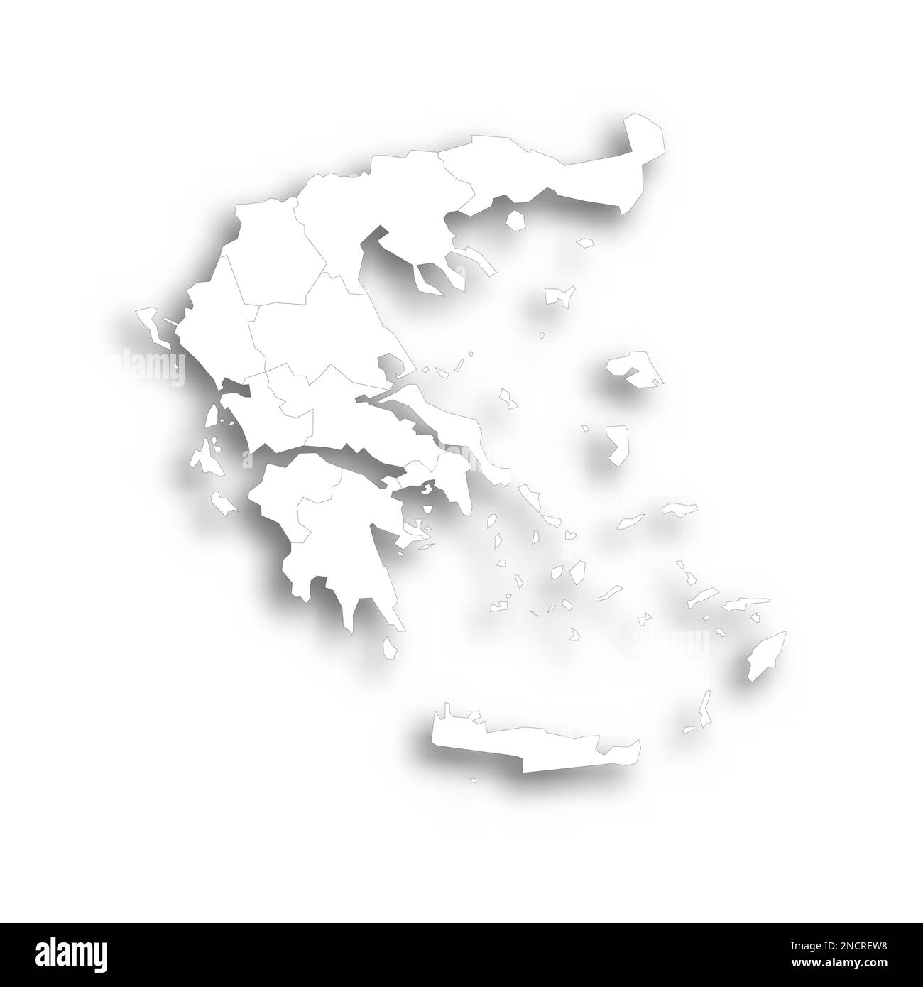 Greece political map of administrative divisions - decentralized administrations and autonomous monastic state of Mount Athos. Flat white blank map with thin black outline and dropped shadow. Stock Vectorhttps://www.alamy.com/image-license-details/?v=1https://www.alamy.com/greece-political-map-of-administrative-divisions-decentralized-administrations-and-autonomous-monastic-state-of-mount-athos-flat-white-blank-map-with-thin-black-outline-and-dropped-shadow-image524203492.html
RF2NCREW8–Greece political map of administrative divisions - decentralized administrations and autonomous monastic state of Mount Athos. Flat white blank map with thin black outline and dropped shadow.
 Greece political map of administrative divisions - decentralized administrations and autonomous monastic state of Mount Athos. Colorful 3D vector map with country province names and dropped shadow. Stock Vectorhttps://www.alamy.com/image-license-details/?v=1https://www.alamy.com/greece-political-map-of-administrative-divisions-decentralized-administrations-and-autonomous-monastic-state-of-mount-athos-colorful-3d-vector-map-with-country-province-names-and-dropped-shadow-image556349195.html
RF2R93W23–Greece political map of administrative divisions - decentralized administrations and autonomous monastic state of Mount Athos. Colorful 3D vector map with country province names and dropped shadow.
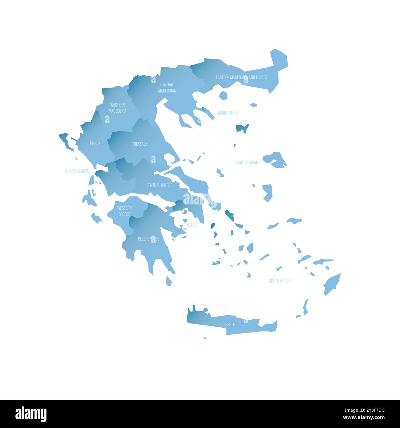 Greece political map of administrative divisions - decentralized administrations and autonomous monastic state of Mount Athos. Shaded vector map with 3D-like blue gradient and name labels Stock Vectorhttps://www.alamy.com/image-license-details/?v=1https://www.alamy.com/greece-political-map-of-administrative-divisions-decentralized-administrations-and-autonomous-monastic-state-of-mount-athos-shaded-vector-map-with-3d-like-blue-gradient-and-name-labels-image619908396.html
RF2Y0F7DG–Greece political map of administrative divisions - decentralized administrations and autonomous monastic state of Mount Athos. Shaded vector map with 3D-like blue gradient and name labels
 Greece political map of administrative divisions - decentralized administrations and autonomous monastic state of Mount Athos. Colorful 3D vector map with dropped shadow and country name labels. Stock Vectorhttps://www.alamy.com/image-license-details/?v=1https://www.alamy.com/greece-political-map-of-administrative-divisions-decentralized-administrations-and-autonomous-monastic-state-of-mount-athos-colorful-3d-vector-map-with-dropped-shadow-and-country-name-labels-image520766636.html
RF2N76Y4C–Greece political map of administrative divisions - decentralized administrations and autonomous monastic state of Mount Athos. Colorful 3D vector map with dropped shadow and country name labels.
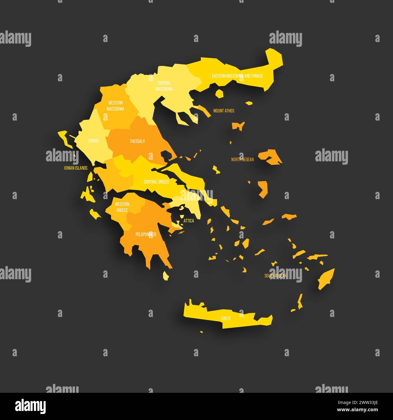 Greece political map of administrative divisions - decentralized administrations and autonomous monastic state of Mount Athos. Yellow shade flat vector map with name labels and dropped shadow isolated on dark grey background. Stock Vectorhttps://www.alamy.com/image-license-details/?v=1https://www.alamy.com/greece-political-map-of-administrative-divisions-decentralized-administrations-and-autonomous-monastic-state-of-mount-athos-yellow-shade-flat-vector-map-with-name-labels-and-dropped-shadow-isolated-on-dark-grey-background-image600587638.html
RF2WW33JE–Greece political map of administrative divisions - decentralized administrations and autonomous monastic state of Mount Athos. Yellow shade flat vector map with name labels and dropped shadow isolated on dark grey background.
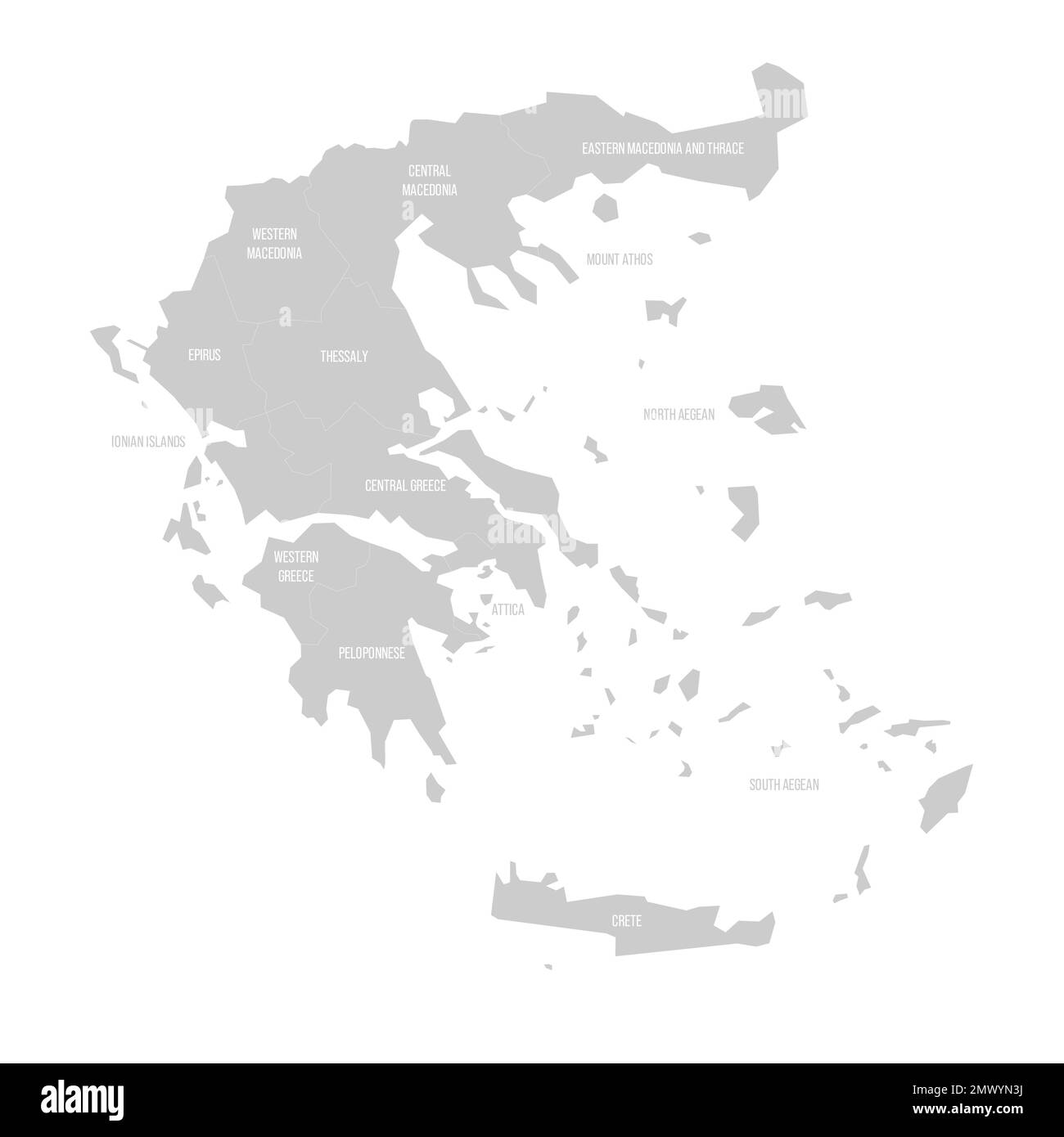 Greece political map of administrative divisions - decentralized administrations and autonomous monastic state of Mount Athos. Solid light gray map wi Stock Vectorhttps://www.alamy.com/image-license-details/?v=1https://www.alamy.com/greece-political-map-of-administrative-divisions-decentralized-administrations-and-autonomous-monastic-state-of-mount-athos-solid-light-gray-map-wi-image515076342.html
RF2MWYN3J–Greece political map of administrative divisions - decentralized administrations and autonomous monastic state of Mount Athos. Solid light gray map wi