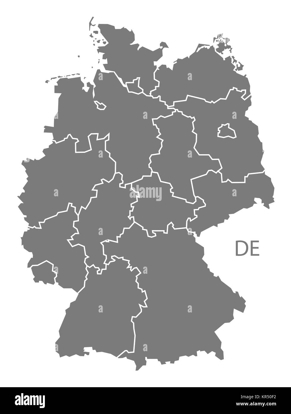
Administrative map germany division Stock Photos and Images
(6,214)See administrative map germany division stock video clipsQuick filters:
Administrative map germany division Stock Photos and Images
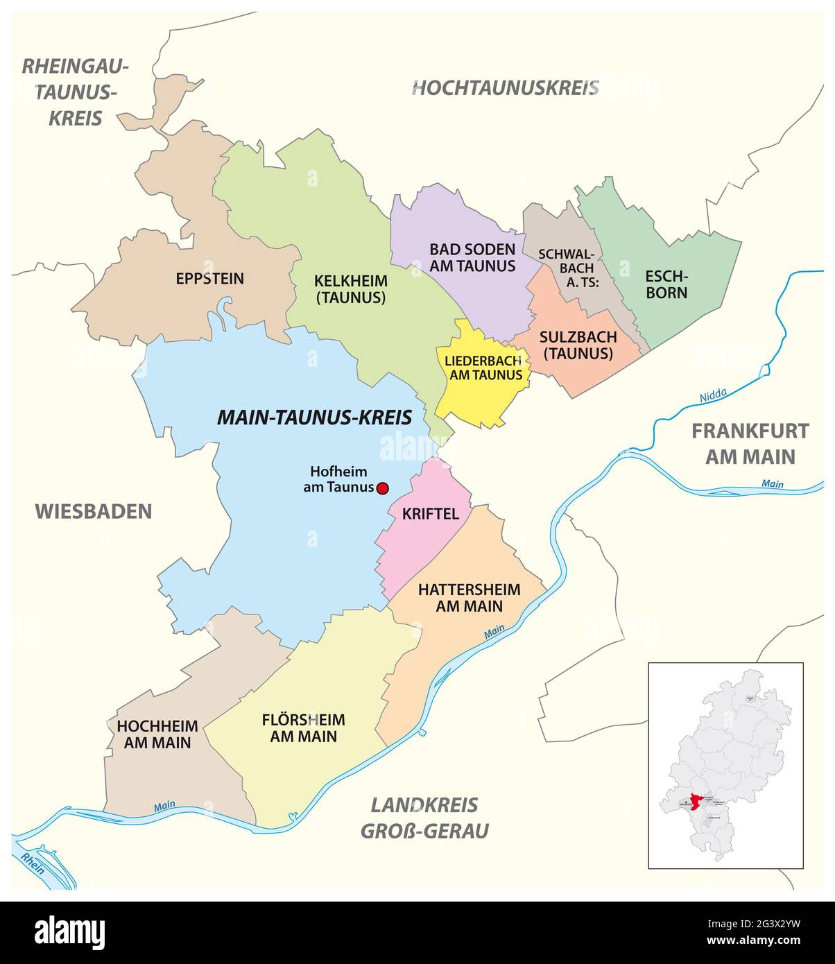 Vector administrative district map Main-Taunus-Kreis, Hesse, Germany Stock Photohttps://www.alamy.com/image-license-details/?v=1https://www.alamy.com/vector-administrative-district-map-main-taunus-kreis-hesse-germany-image432676269.html
RF2G3X2YW–Vector administrative district map Main-Taunus-Kreis, Hesse, Germany
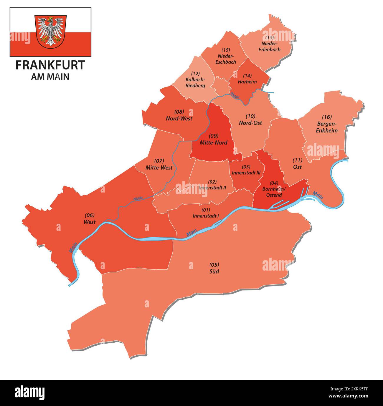 administrative vector map of Frankfurt with all districts Stock Photohttps://www.alamy.com/image-license-details/?v=1https://www.alamy.com/administrative-vector-map-of-frankfurt-with-all-districts-image616921670.html
RF2XRK5TP–administrative vector map of Frankfurt with all districts
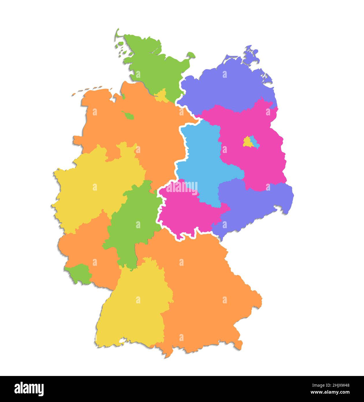 Germany map divided on West and East map, administrative division, color map isolated on white background, blank Stock Photohttps://www.alamy.com/image-license-details/?v=1https://www.alamy.com/germany-map-divided-on-west-and-east-map-administrative-division-color-map-isolated-on-white-background-blank-image459123848.html
RF2HJXW48–Germany map divided on West and East map, administrative division, color map isolated on white background, blank
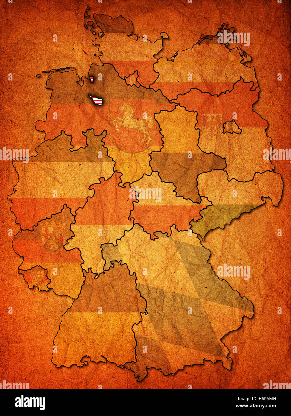 political colour vintage germany german federal republic flag rust bremen land state region scratch province geography old Stock Photohttps://www.alamy.com/image-license-details/?v=1https://www.alamy.com/stock-photo-political-colour-vintage-germany-german-federal-republic-flag-rust-124651873.html
RFH6PAMH–political colour vintage germany german federal republic flag rust bremen land state region scratch province geography old
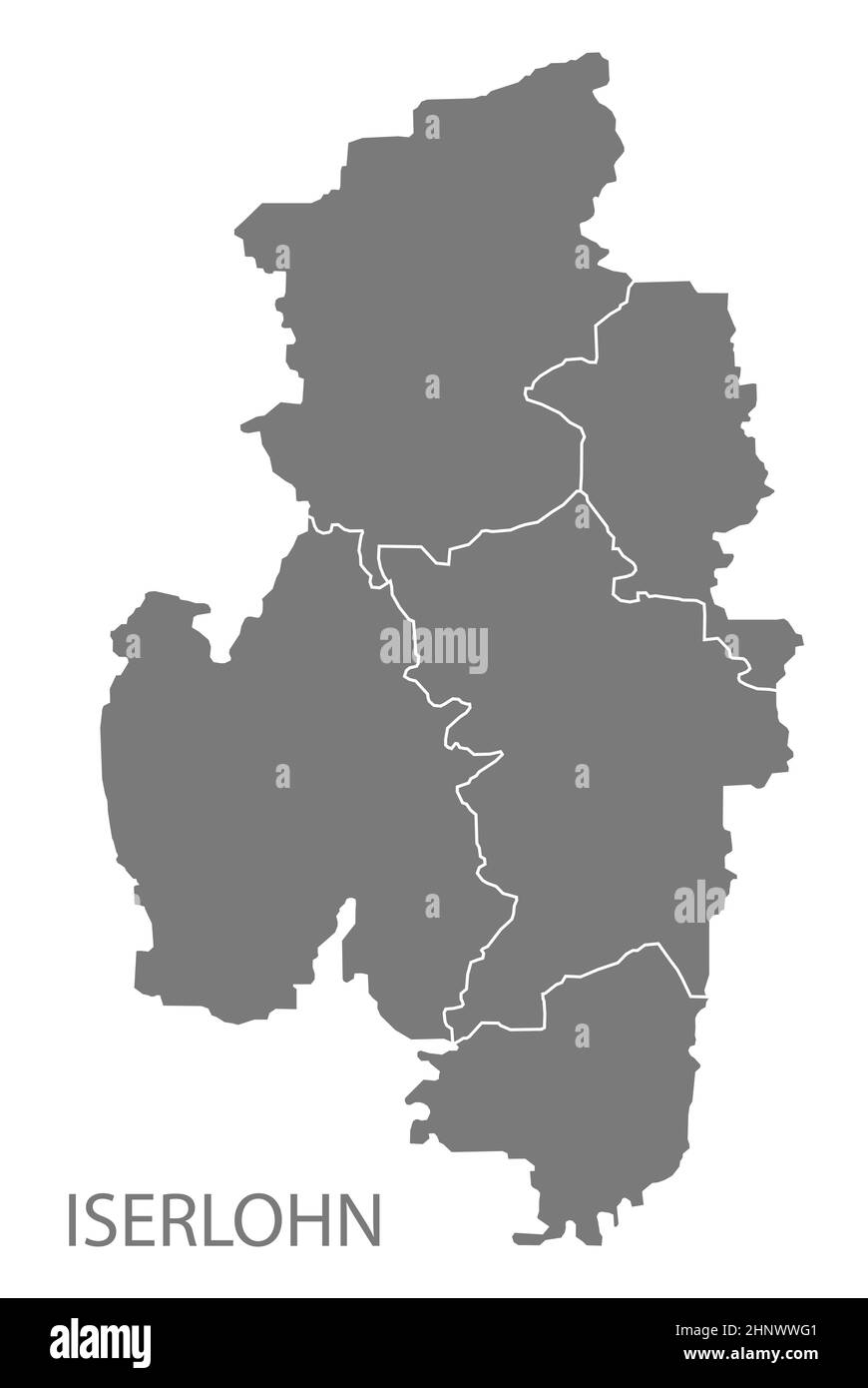 Modern City Map - Iserlohn city of Germany with districts grey DE Stock Photohttps://www.alamy.com/image-license-details/?v=1https://www.alamy.com/modern-city-map-iserlohn-city-of-germany-with-districts-grey-de-image460946193.html
RF2HNWWG1–Modern City Map - Iserlohn city of Germany with districts grey DE
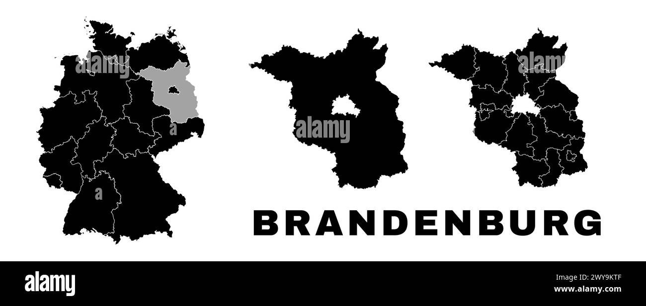 Brandenburg map, German state. Germany administrative division, regions and boroughs, amt and municipalities. Stock Vectorhttps://www.alamy.com/image-license-details/?v=1https://www.alamy.com/brandenburg-map-german-state-germany-administrative-division-regions-and-boroughs-amt-and-municipalities-image601961375.html
RF2WY9KTF–Brandenburg map, German state. Germany administrative division, regions and boroughs, amt and municipalities.
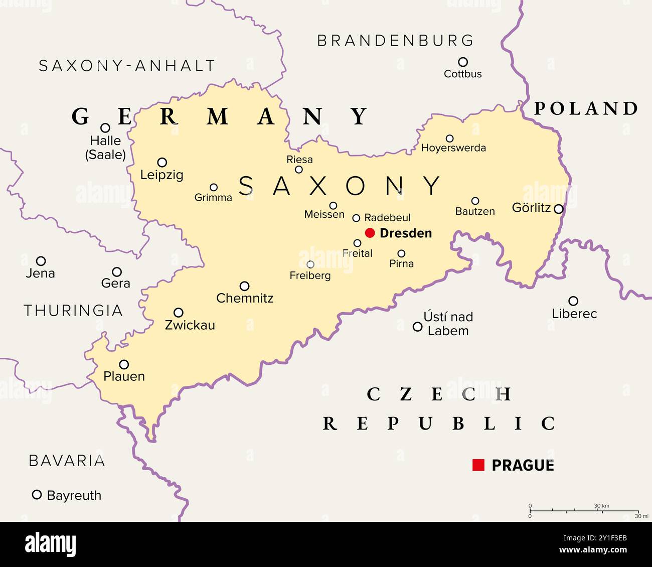 Saxony, a state in Germany, political map with capital Dresden, borders, and largest cities. Officially the Free State of Saxony. Stock Photohttps://www.alamy.com/image-license-details/?v=1https://www.alamy.com/saxony-a-state-in-germany-political-map-with-capital-dresden-borders-and-largest-cities-officially-the-free-state-of-saxony-image620519939.html
RF2Y1F3EB–Saxony, a state in Germany, political map with capital Dresden, borders, and largest cities. Officially the Free State of Saxony.
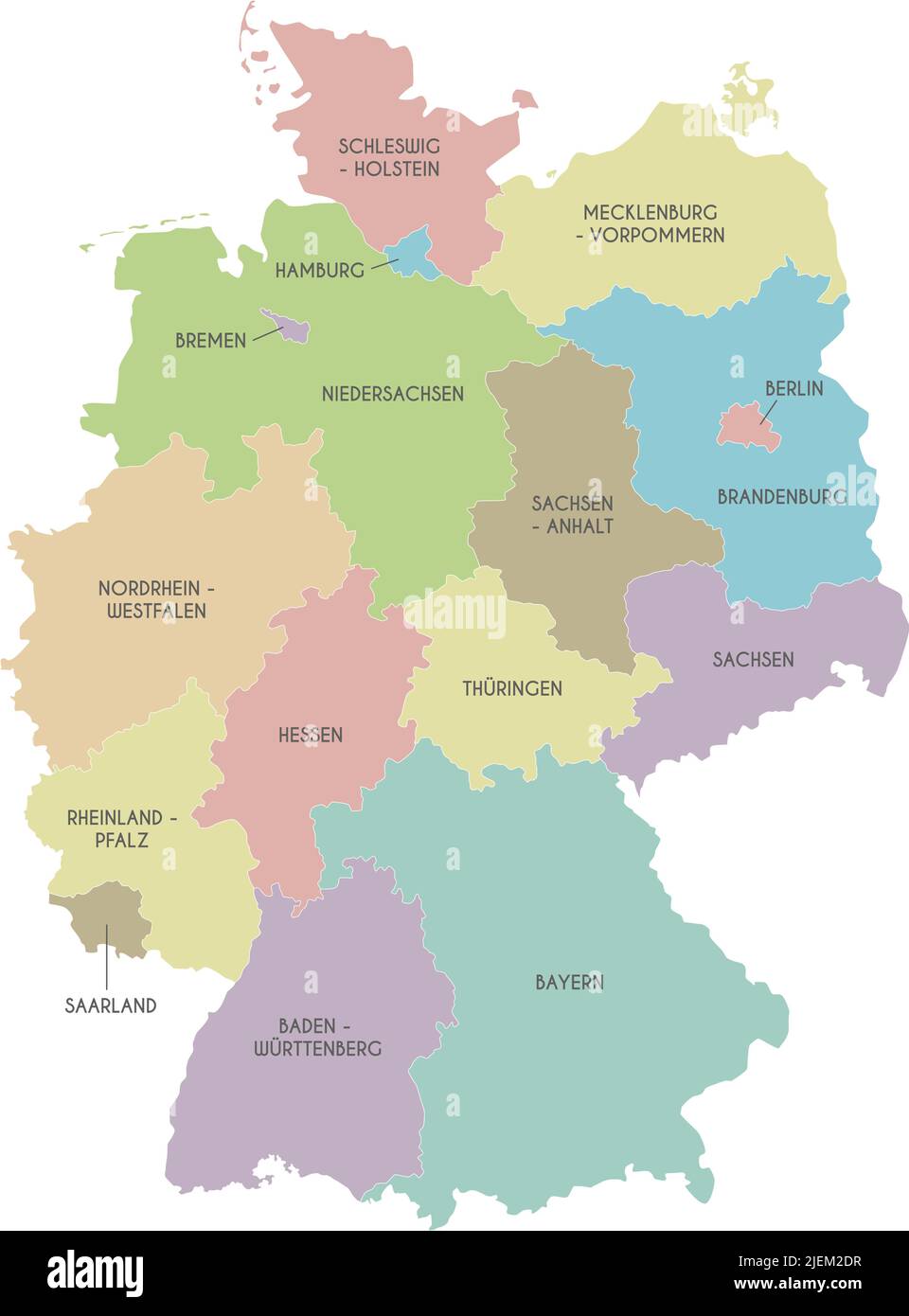 Vector map of Germany with federated states or regions and administrative divisions. Editable and clearly labeled layers. Stock Vectorhttps://www.alamy.com/image-license-details/?v=1https://www.alamy.com/vector-map-of-germany-with-federated-states-or-regions-and-administrative-divisions-editable-and-clearly-labeled-layers-image473726115.html
RF2JEM2DR–Vector map of Germany with federated states or regions and administrative divisions. Editable and clearly labeled layers.
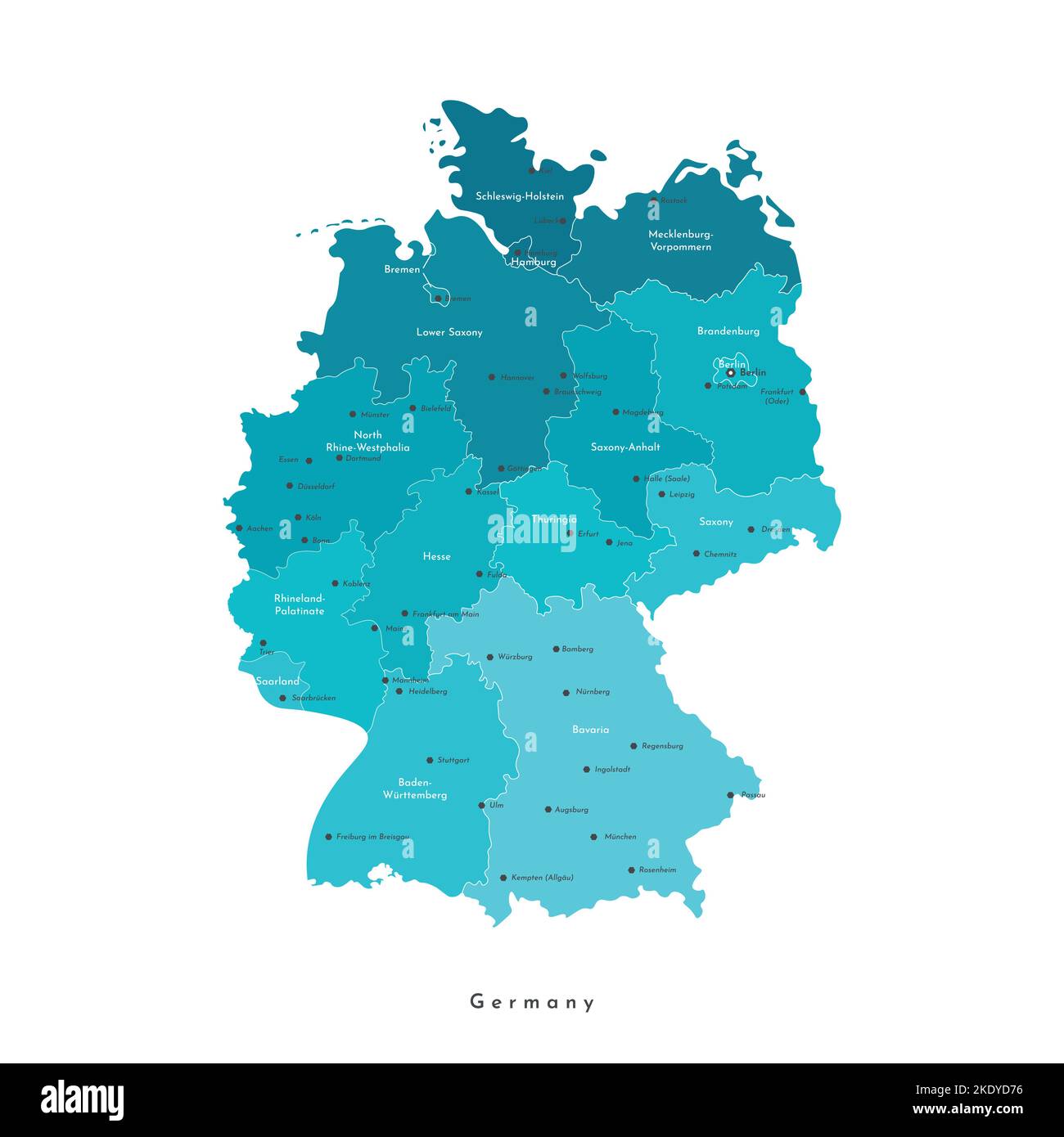 Vector isolated illustration. Simplified administrative map of Germany. Blue shapes of regions. Names of deutsch cities and provinces. White backgroun Stock Vectorhttps://www.alamy.com/image-license-details/?v=1https://www.alamy.com/vector-isolated-illustration-simplified-administrative-map-of-germany-blue-shapes-of-regions-names-of-deutsch-cities-and-provinces-white-backgroun-image490483930.html
RF2KDYD76–Vector isolated illustration. Simplified administrative map of Germany. Blue shapes of regions. Names of deutsch cities and provinces. White backgroun
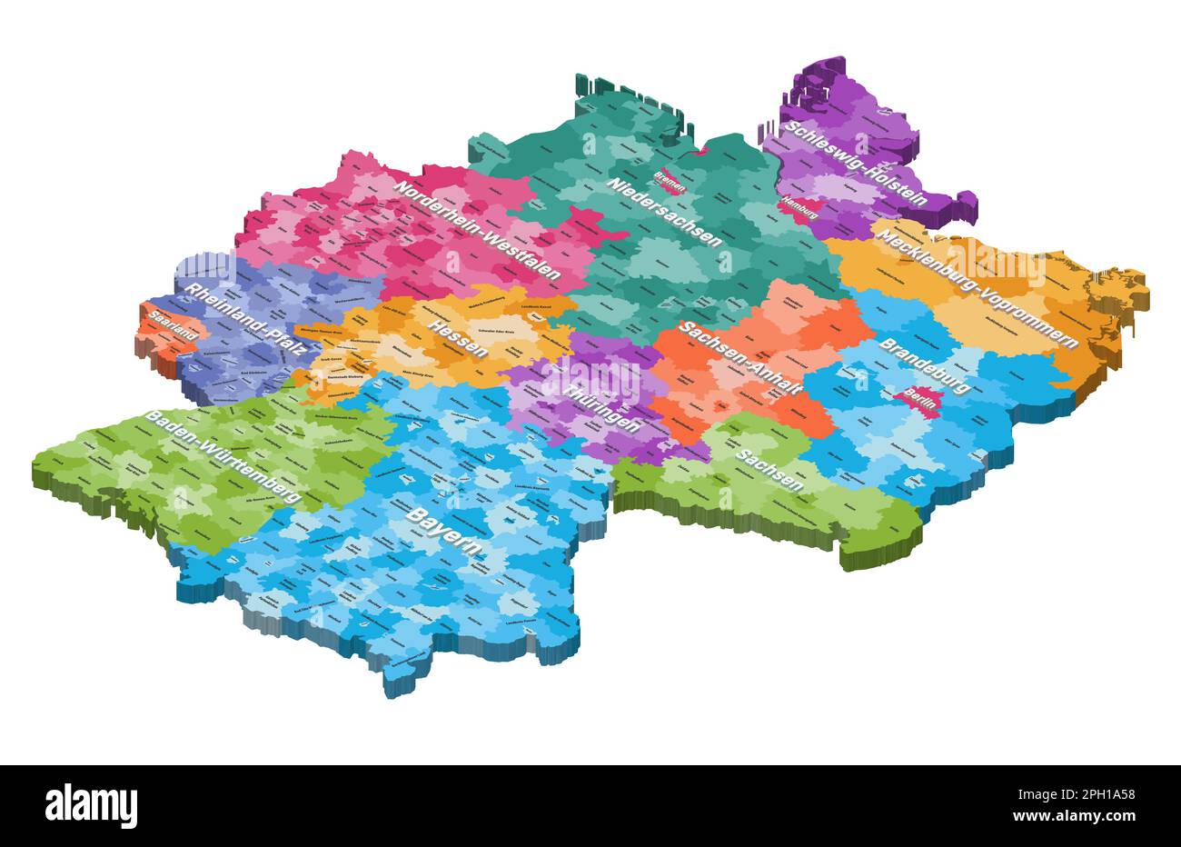 Germany isometric map colored by states and administrative districts, with inscriptions Stock Vectorhttps://www.alamy.com/image-license-details/?v=1https://www.alamy.com/germany-isometric-map-colored-by-states-and-administrative-districts-with-inscriptions-image544000500.html
RF2PH1A58–Germany isometric map colored by states and administrative districts, with inscriptions
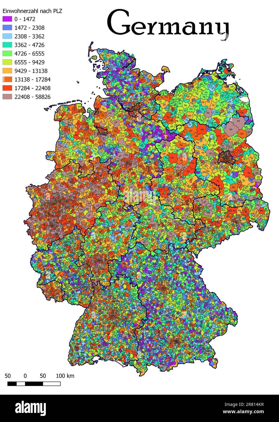 Germany map population by postal code map Stock Photohttps://www.alamy.com/image-license-details/?v=1https://www.alamy.com/germany-map-population-by-postal-code-map-image555674667.html
RF2R814KR–Germany map population by postal code map
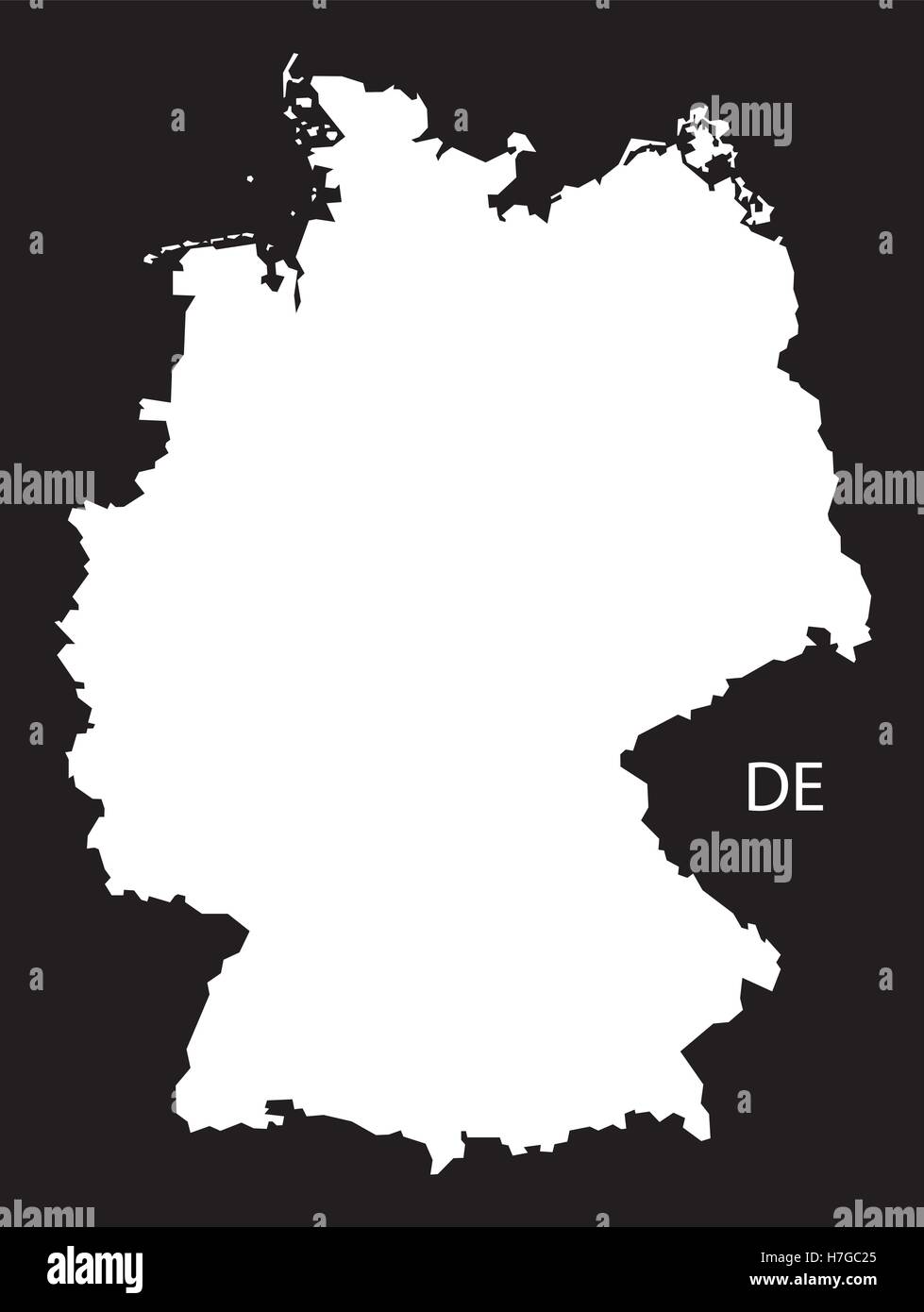 Germany Map black white Stock Vectorhttps://www.alamy.com/image-license-details/?v=1https://www.alamy.com/stock-photo-germany-map-black-white-125135869.html
RFH7GC25–Germany Map black white
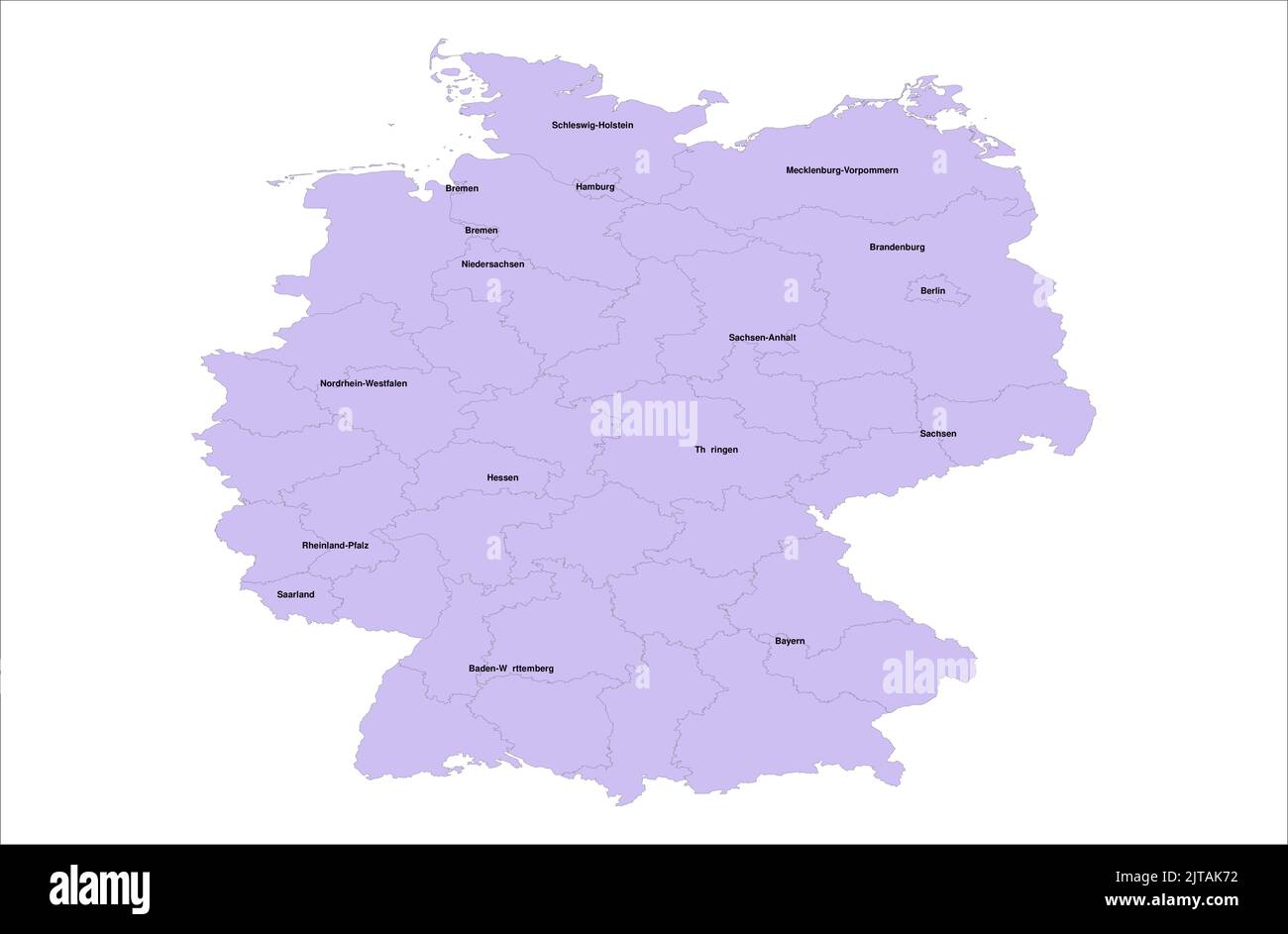 Germany Vector Map illustration with its districts on white background Stock Vectorhttps://www.alamy.com/image-license-details/?v=1https://www.alamy.com/germany-vector-map-illustration-with-its-districts-on-white-background-image479666294.html
RF2JTAK72–Germany Vector Map illustration with its districts on white background
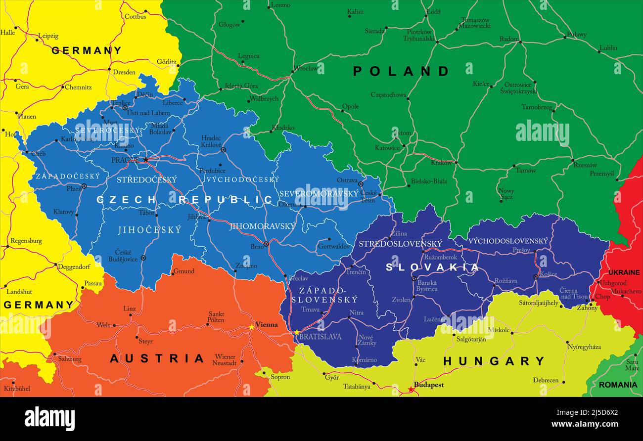 Highly detailed vector map of Czech and Slovak Republics with administrative regions, main cities and roads. Stock Vectorhttps://www.alamy.com/image-license-details/?v=1https://www.alamy.com/highly-detailed-vector-map-of-czech-and-slovak-republics-with-administrative-regions-main-cities-and-roads-image468044026.html
RF2J5D6X2–Highly detailed vector map of Czech and Slovak Republics with administrative regions, main cities and roads.
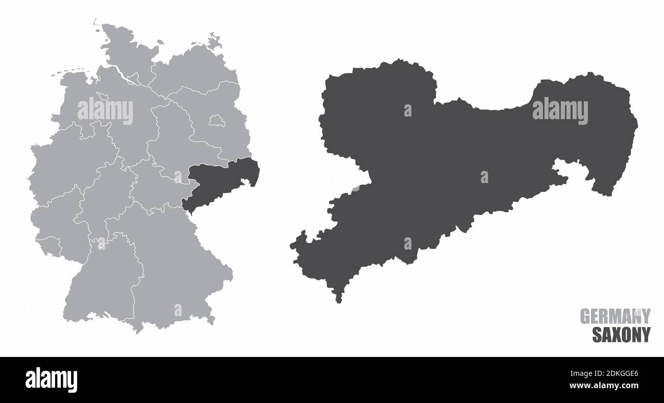 Saxony silhouette map Stock Vectorhttps://www.alamy.com/image-license-details/?v=1https://www.alamy.com/saxony-silhouette-map-image390670734.html
RF2DKGGE6–Saxony silhouette map
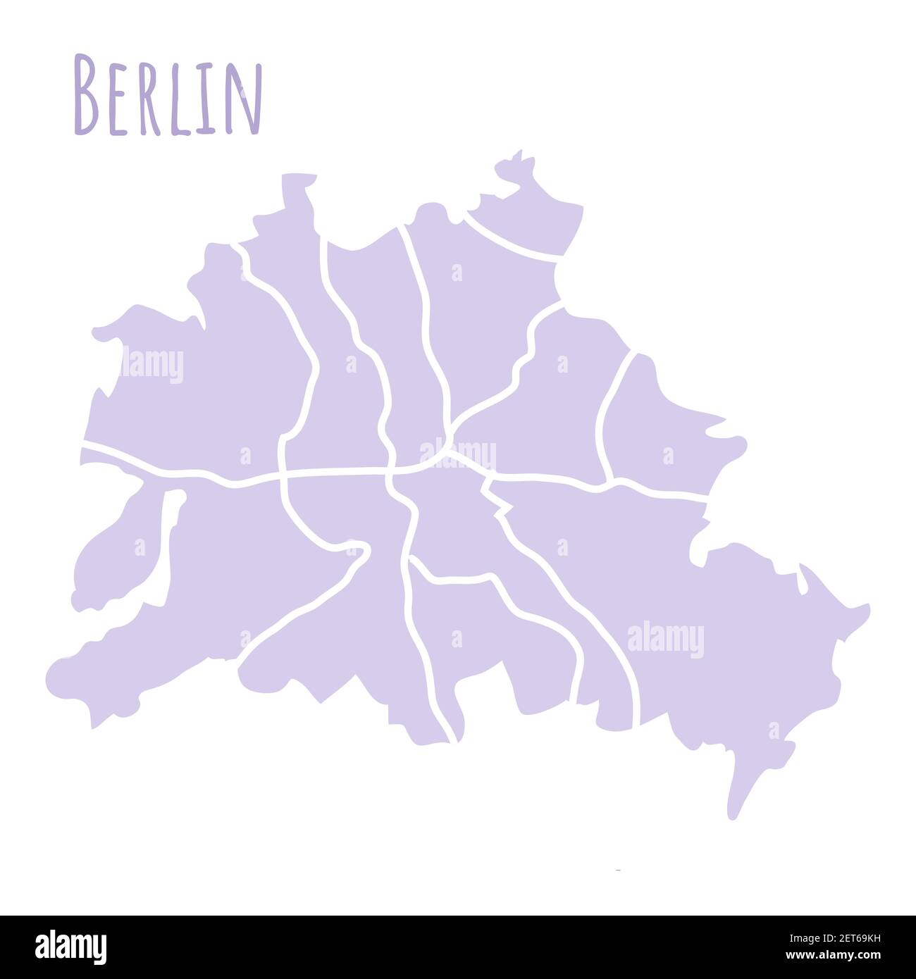 Berlin Germany map silhouette administrative division, vector isolated on white background. boundary with streets. High detailed illustration. Capital Stock Vectorhttps://www.alamy.com/image-license-details/?v=1https://www.alamy.com/berlin-germany-map-silhouette-administrative-division-vector-isolated-on-white-background-boundary-with-streets-high-detailed-illustration-capital-image410729525.html
RF2ET69KH–Berlin Germany map silhouette administrative division, vector isolated on white background. boundary with streets. High detailed illustration. Capital
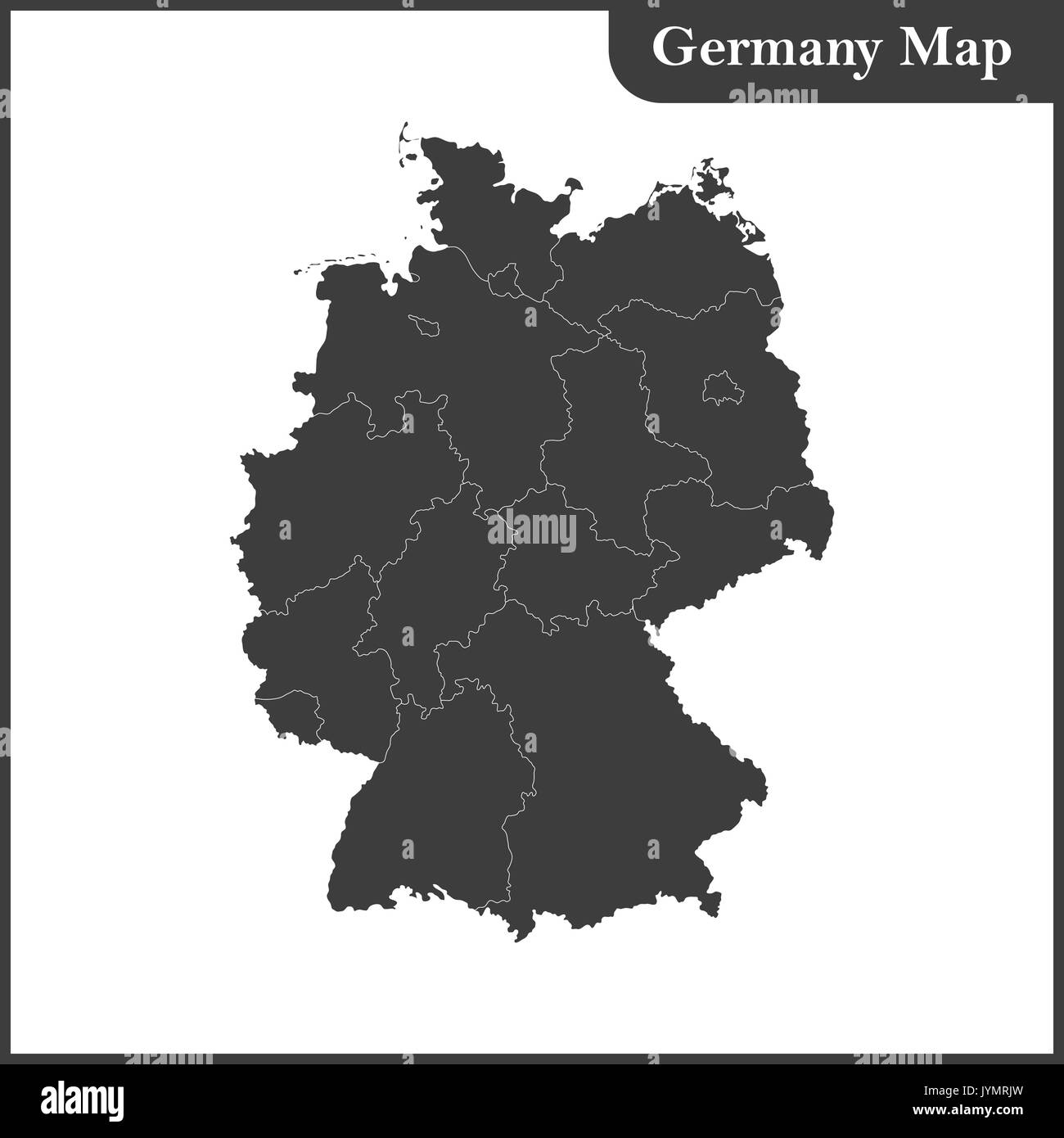 The detailed map of the Germany with regions Stock Vectorhttps://www.alamy.com/image-license-details/?v=1https://www.alamy.com/the-detailed-map-of-the-germany-with-regions-image154736257.html
RFJYMRJW–The detailed map of the Germany with regions
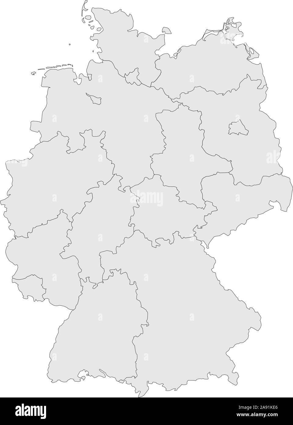 Germany provinces map with boundaries vector illustration. Light gray color. Stock Vectorhttps://www.alamy.com/image-license-details/?v=1https://www.alamy.com/germany-provinces-map-with-boundaries-vector-illustration-light-gray-color-image332566142.html
RF2A91KE6–Germany provinces map with boundaries vector illustration. Light gray color.
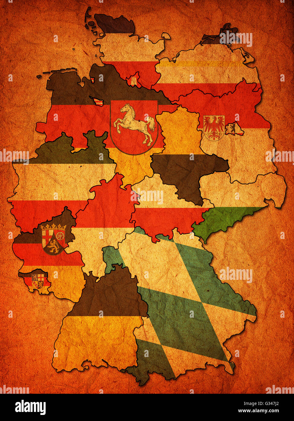 old administration map of german provinces (states) Stock Photohttps://www.alamy.com/image-license-details/?v=1https://www.alamy.com/stock-photo-old-administration-map-of-german-provinces-states-105199978.html
RFG347J2–old administration map of german provinces (states)
RF2XXTMH9–map of Austria icon linear vector graphics sign or symbol set for web app ui
 Administrative vector map of the state of Mecklenburg Western Pomerania, Germany Stock Vectorhttps://www.alamy.com/image-license-details/?v=1https://www.alamy.com/administrative-vector-map-of-the-state-of-mecklenburg-western-pomerania-germany-image452531806.html
RF2H86GX6–Administrative vector map of the state of Mecklenburg Western Pomerania, Germany
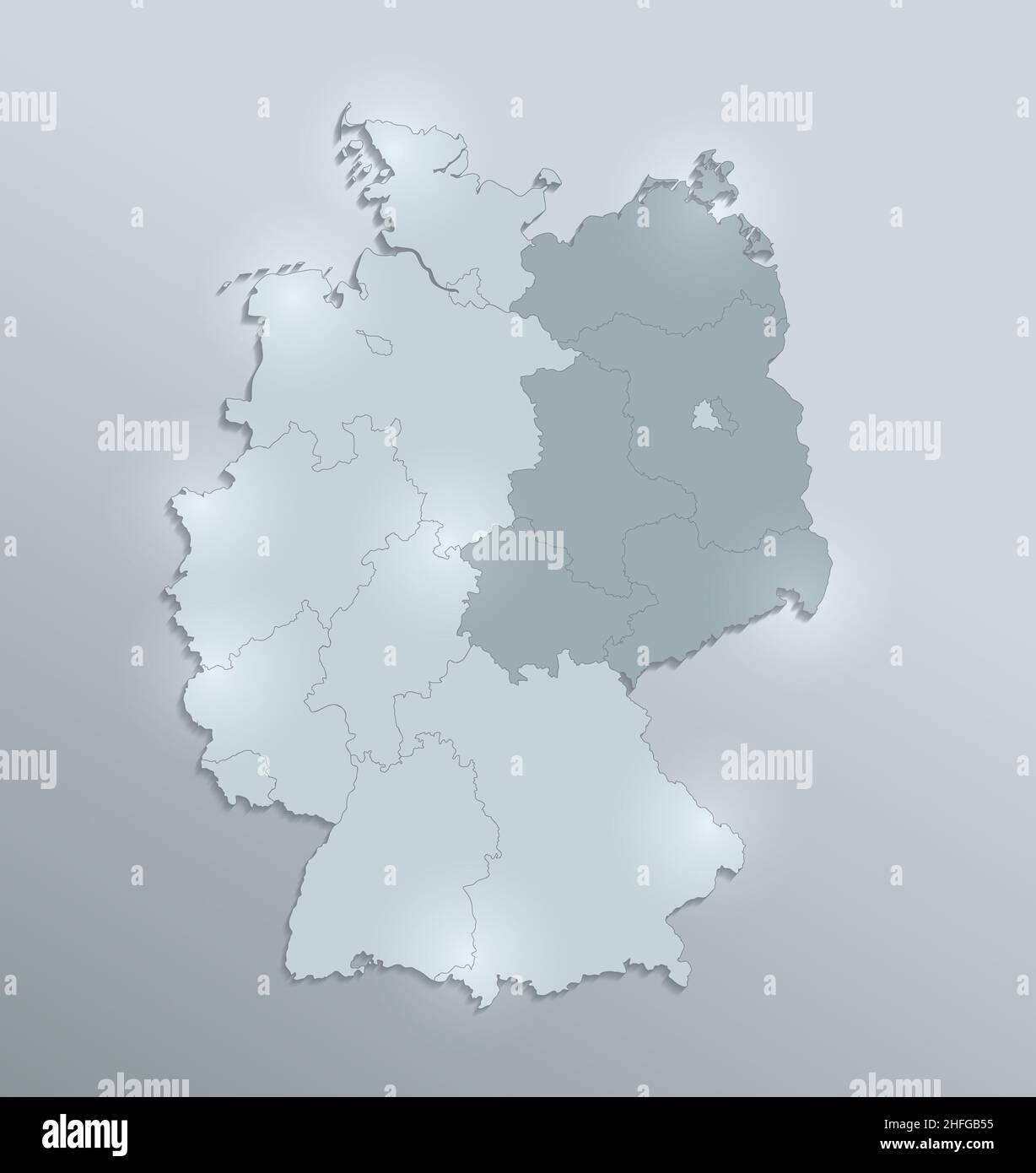 Germany map divided on West and East Germany with regions, design glass card 3D, blank Stock Photohttps://www.alamy.com/image-license-details/?v=1https://www.alamy.com/germany-map-divided-on-west-and-east-germany-with-regions-design-glass-card-3d-blank-image457049409.html
RF2HFGB55–Germany map divided on West and East Germany with regions, design glass card 3D, blank
 signs symbols Stock Photohttps://www.alamy.com/image-license-details/?v=1https://www.alamy.com/stock-photo-signs-symbols-124650838.html
RFH6P9BJ–signs symbols
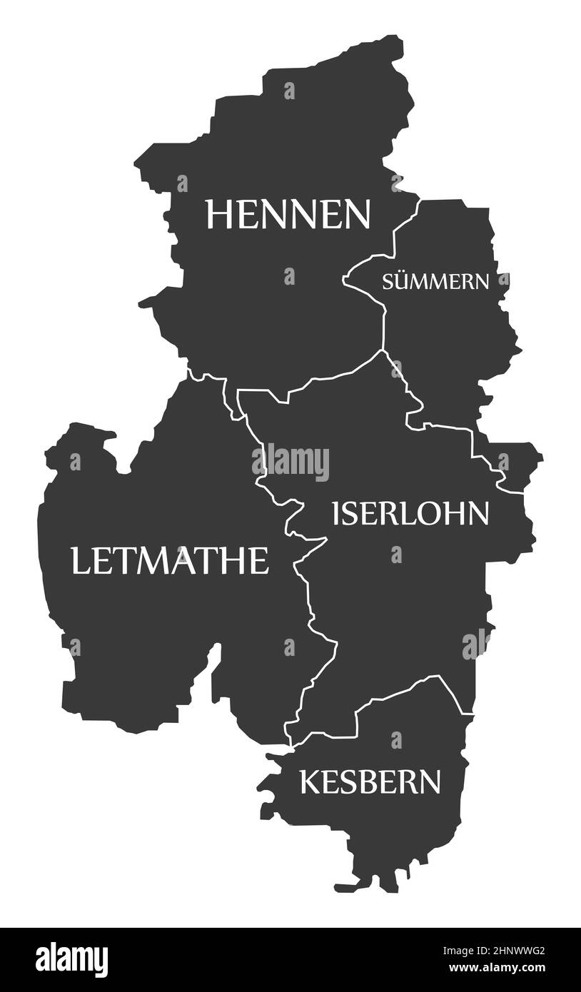 Iserlohn City Map Germany DE labelled black illustration Stock Photohttps://www.alamy.com/image-license-details/?v=1https://www.alamy.com/iserlohn-city-map-germany-de-labelled-black-illustration-image460946194.html
RF2HNWWG2–Iserlohn City Map Germany DE labelled black illustration
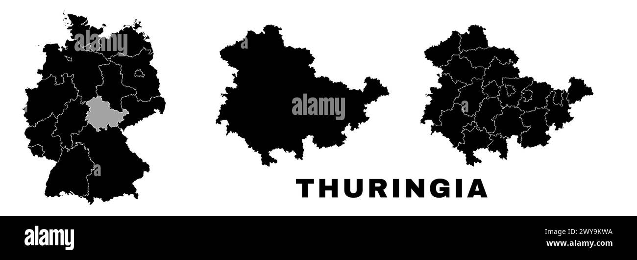 Thuringia map, German state. Germany administrative division, regions and boroughs, amt and municipalities. Stock Vectorhttps://www.alamy.com/image-license-details/?v=1https://www.alamy.com/thuringia-map-german-state-germany-administrative-division-regions-and-boroughs-amt-and-municipalities-image601961398.html
RF2WY9KWA–Thuringia map, German state. Germany administrative division, regions and boroughs, amt and municipalities.
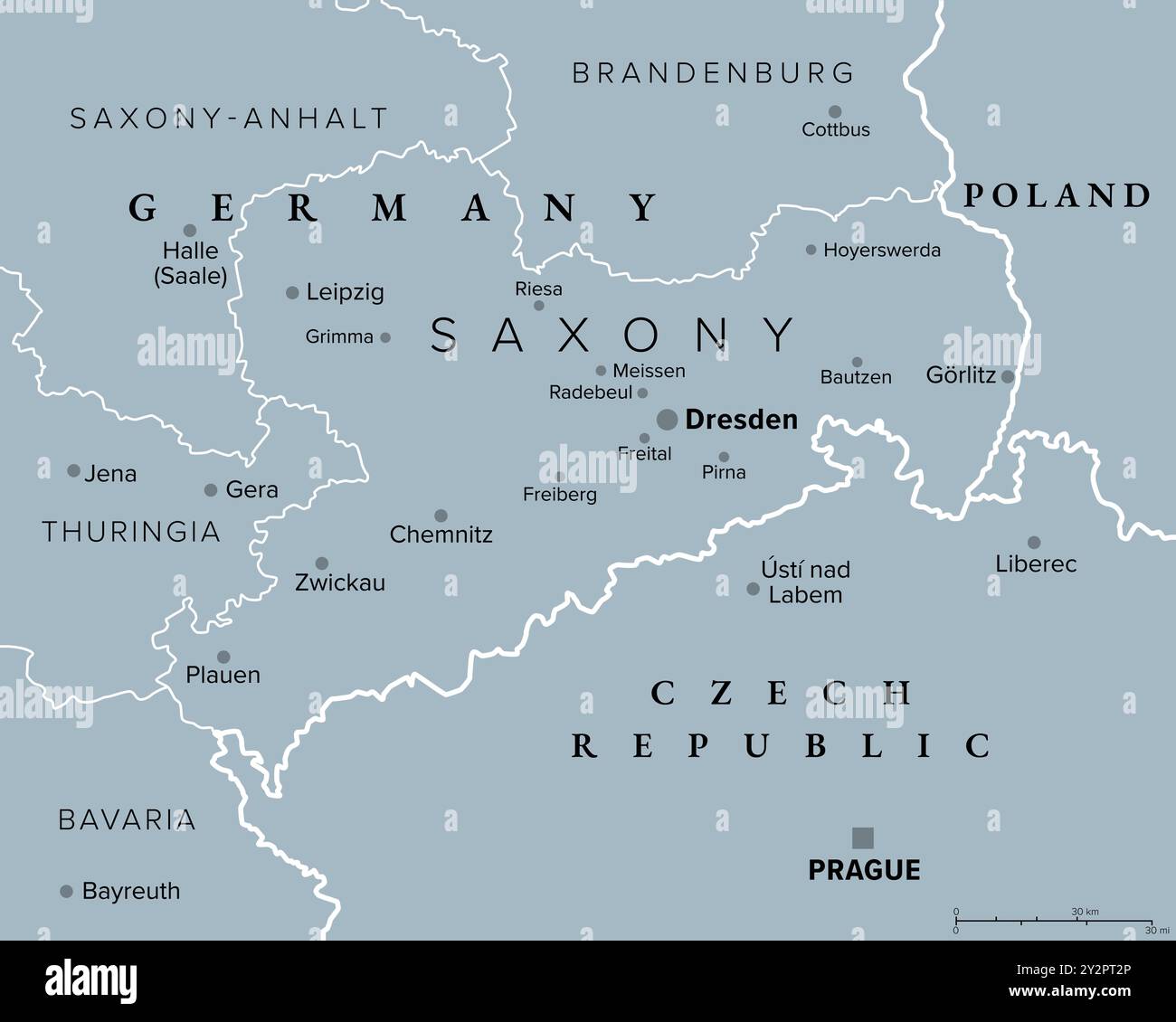 Saxony, a state in Germany, gray political map with capital Dresden, borders, and largest cities. Officially the Free State of Saxony. Stock Photohttps://www.alamy.com/image-license-details/?v=1https://www.alamy.com/saxony-a-state-in-germany-gray-political-map-with-capital-dresden-borders-and-largest-cities-officially-the-free-state-of-saxony-image621304398.html
RF2Y2PT2P–Saxony, a state in Germany, gray political map with capital Dresden, borders, and largest cities. Officially the Free State of Saxony.
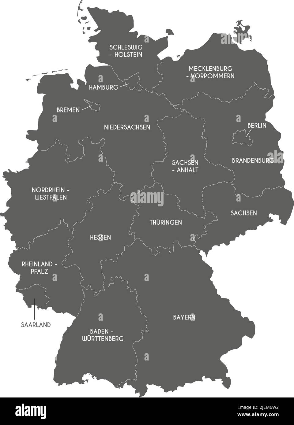 Vector map of Germany with federated states or regions and administrative divisions. Editable and clearly labeled layers. Stock Vectorhttps://www.alamy.com/image-license-details/?v=1https://www.alamy.com/vector-map-of-germany-with-federated-states-or-regions-and-administrative-divisions-editable-and-clearly-labeled-layers-image473729566.html
RF2JEM6W2–Vector map of Germany with federated states or regions and administrative divisions. Editable and clearly labeled layers.
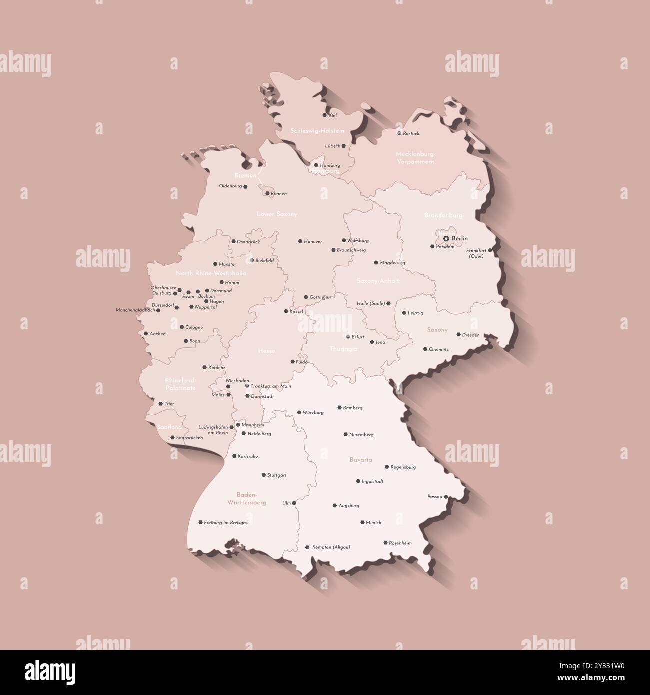 Vector isolated illustration. Simplified administrative map of Germany. Beige shapes of regions. Names of deutsch cities and provinces. Brown backgrou Stock Vectorhttps://www.alamy.com/image-license-details/?v=1https://www.alamy.com/vector-isolated-illustration-simplified-administrative-map-of-germany-beige-shapes-of-regions-names-of-deutsch-cities-and-provinces-brown-backgrou-image621484556.html
RF2Y331W0–Vector isolated illustration. Simplified administrative map of Germany. Beige shapes of regions. Names of deutsch cities and provinces. Brown backgrou
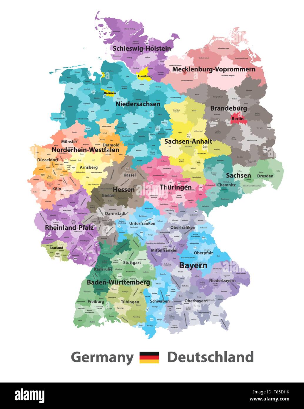 Germany high detailed vector map (colored by states and administrative districts Stock Vectorhttps://www.alamy.com/image-license-details/?v=1https://www.alamy.com/germany-high-detailed-vector-map-colored-by-states-and-administrative-districts-image245982847.html
RFT85DHK–Germany high detailed vector map (colored by states and administrative districts
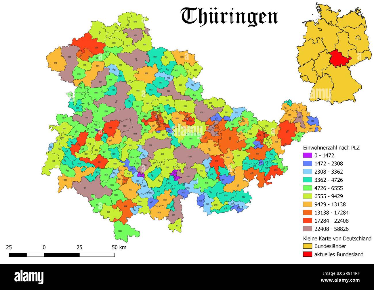 Federal state Thüringen population by postal code map with Germany map Stock Photohttps://www.alamy.com/image-license-details/?v=1https://www.alamy.com/federal-state-thringen-population-by-postal-code-map-with-germany-map-image555674771.html
RF2R814RF–Federal state Thüringen population by postal code map with Germany map
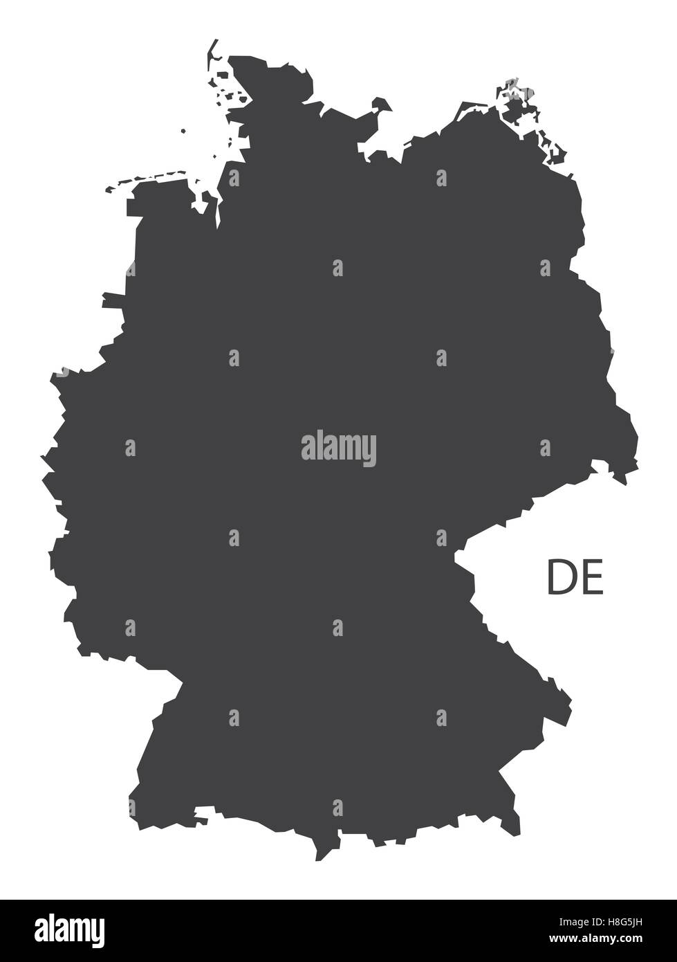 Germany Map black edition Stock Vectorhttps://www.alamy.com/image-license-details/?v=1https://www.alamy.com/stock-photo-germany-map-black-edition-125745497.html
RFH8G5JH–Germany Map black edition
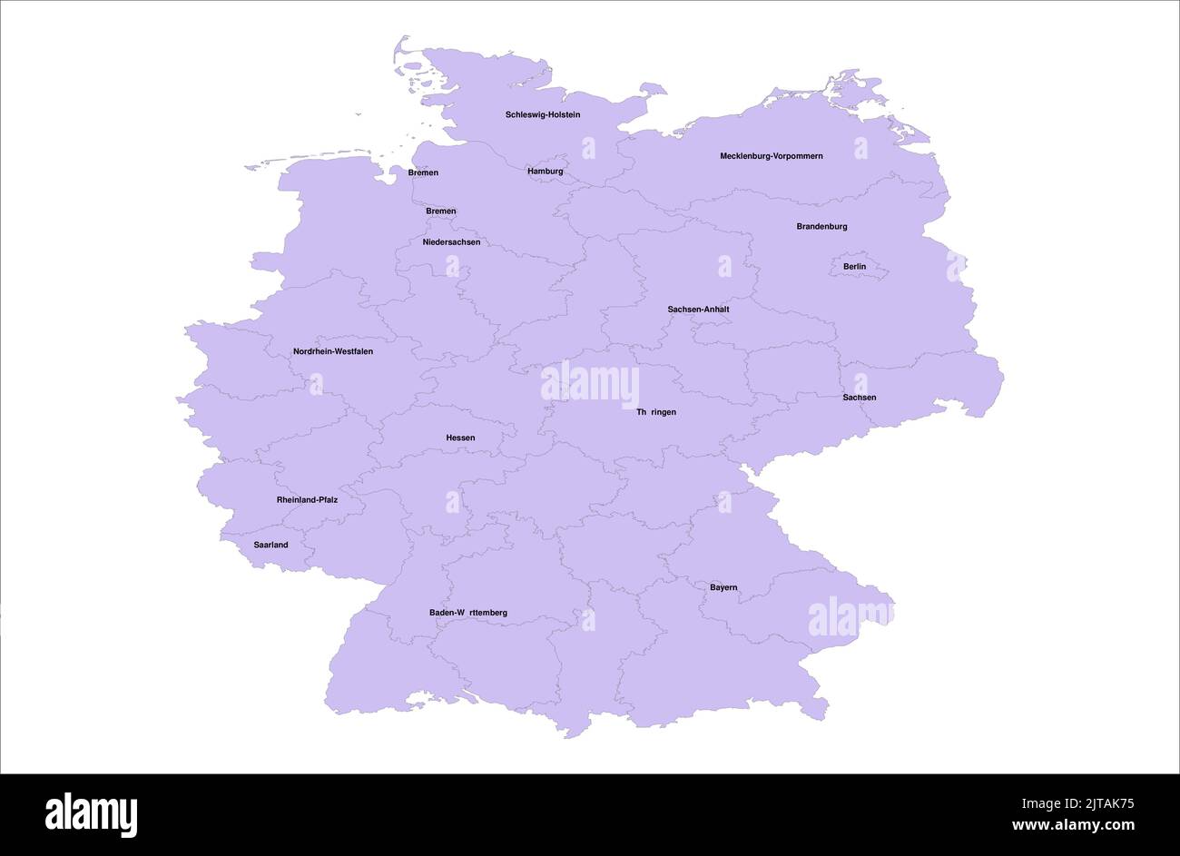 Germany Vector Map illustration with its districts on white background Stock Vectorhttps://www.alamy.com/image-license-details/?v=1https://www.alamy.com/germany-vector-map-illustration-with-its-districts-on-white-background-image479666297.html
RF2JTAK75–Germany Vector Map illustration with its districts on white background
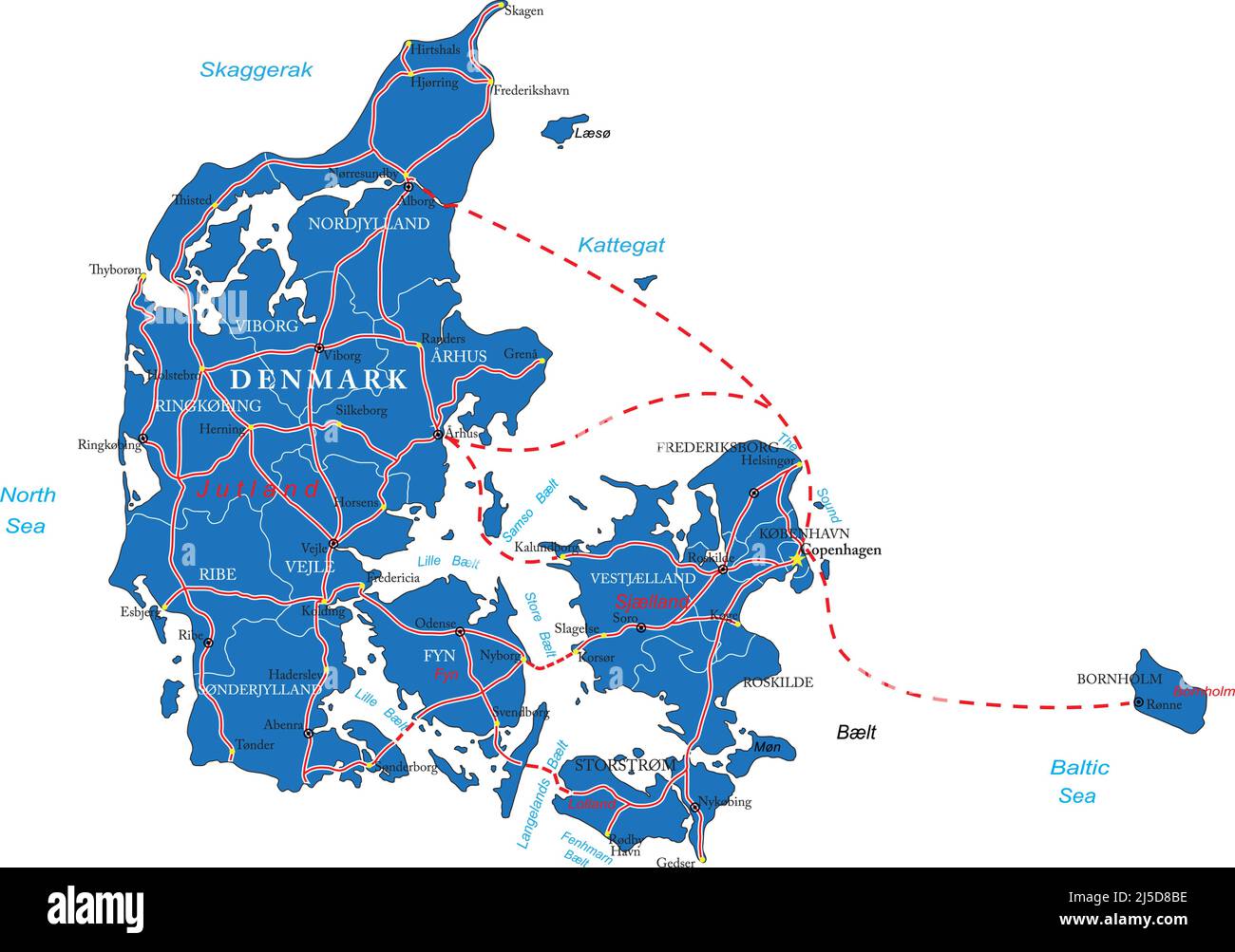 Highly detailed vector map of Denmark with administrative regions,main cities and roads. Stock Vectorhttps://www.alamy.com/image-license-details/?v=1https://www.alamy.com/highly-detailed-vector-map-of-denmark-with-administrative-regionsmain-cities-and-roads-image468045186.html
RF2J5D8BE–Highly detailed vector map of Denmark with administrative regions,main cities and roads.
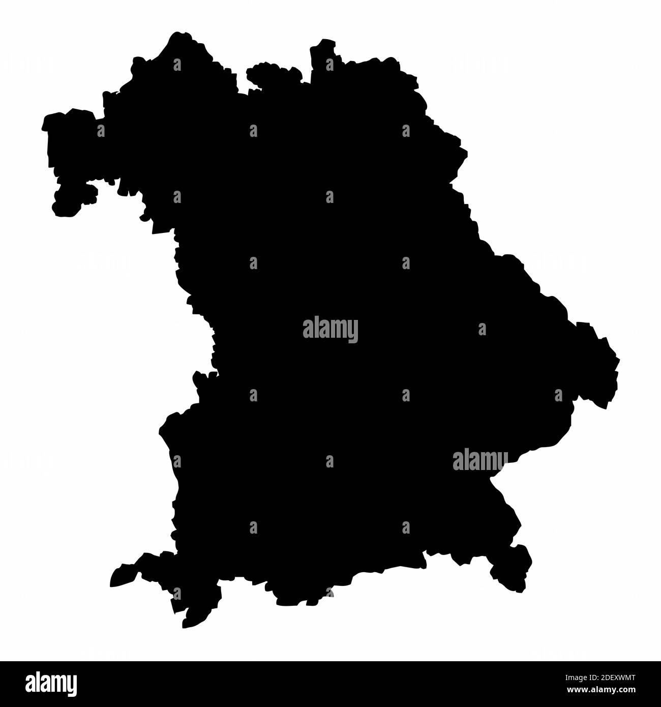 Bavaria silhouette map Stock Vectorhttps://www.alamy.com/image-license-details/?v=1https://www.alamy.com/bavaria-silhouette-map-image387824216.html
RF2DEXWMT–Bavaria silhouette map
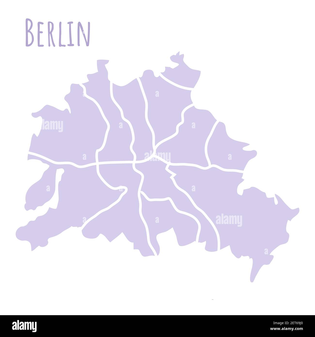 Berlin Germany map silhouette administrative division, vector isolated on white background. boundary with streets. High detailed illustration. Capital Stock Vectorhttps://www.alamy.com/image-license-details/?v=1https://www.alamy.com/berlin-germany-map-silhouette-administrative-division-vector-isolated-on-white-background-boundary-with-streets-high-detailed-illustration-capital-image410729480.html
RF2ET69J0–Berlin Germany map silhouette administrative division, vector isolated on white background. boundary with streets. High detailed illustration. Capital
 The detailed map of the Germany with National Flag Stock Vectorhttps://www.alamy.com/image-license-details/?v=1https://www.alamy.com/stock-image-the-detailed-map-of-the-germany-with-national-flag-167486483.html
RFKMDJM3–The detailed map of the Germany with National Flag
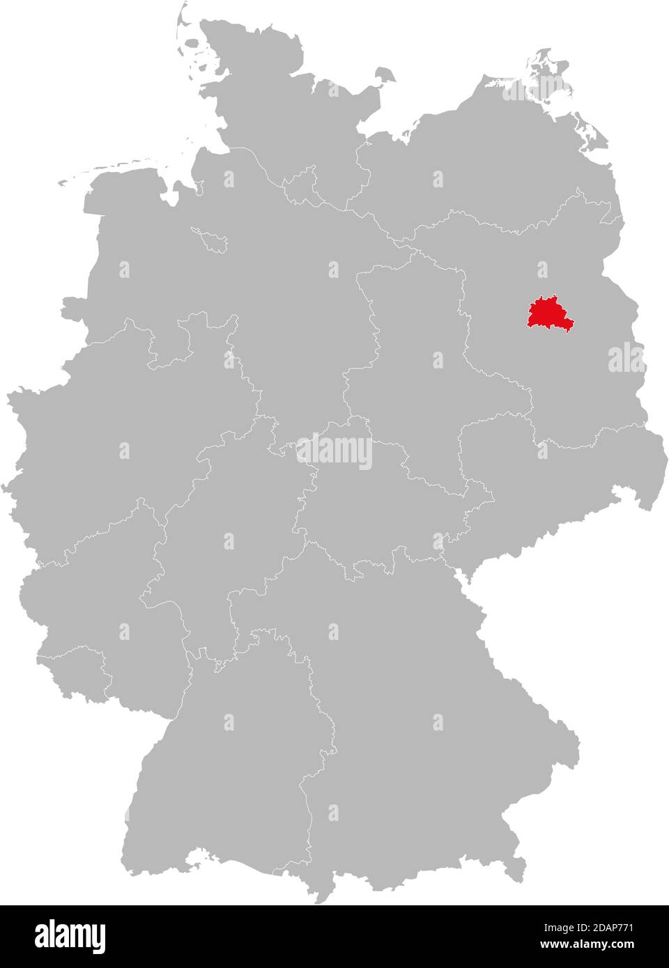 Berlin state isolated on Germany map. Business concepts and backgrounds. Stock Vectorhttps://www.alamy.com/image-license-details/?v=1https://www.alamy.com/berlin-state-isolated-on-germany-map-business-concepts-and-backgrounds-image385263285.html
RF2DAP771–Berlin state isolated on Germany map. Business concepts and backgrounds.
 german flag on old administration map of german provinces Stock Photohttps://www.alamy.com/image-license-details/?v=1https://www.alamy.com/stock-photo-german-flag-on-old-administration-map-of-german-provinces-83951483.html
RFETG8Y7–german flag on old administration map of german provinces
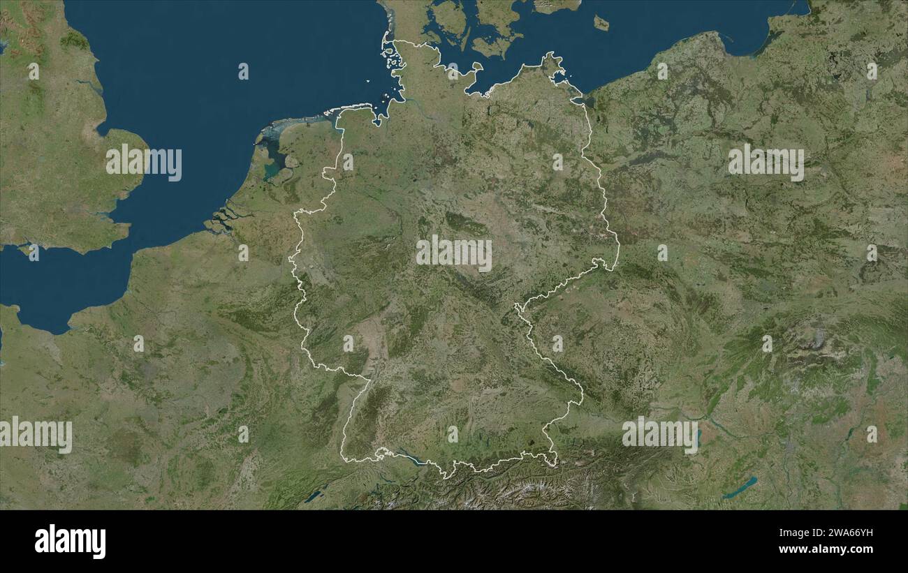 Germany outlined on a high resolution satellite map Stock Photohttps://www.alamy.com/image-license-details/?v=1https://www.alamy.com/germany-outlined-on-a-high-resolution-satellite-map-image591436261.html
RF2WA66YH–Germany outlined on a high resolution satellite map
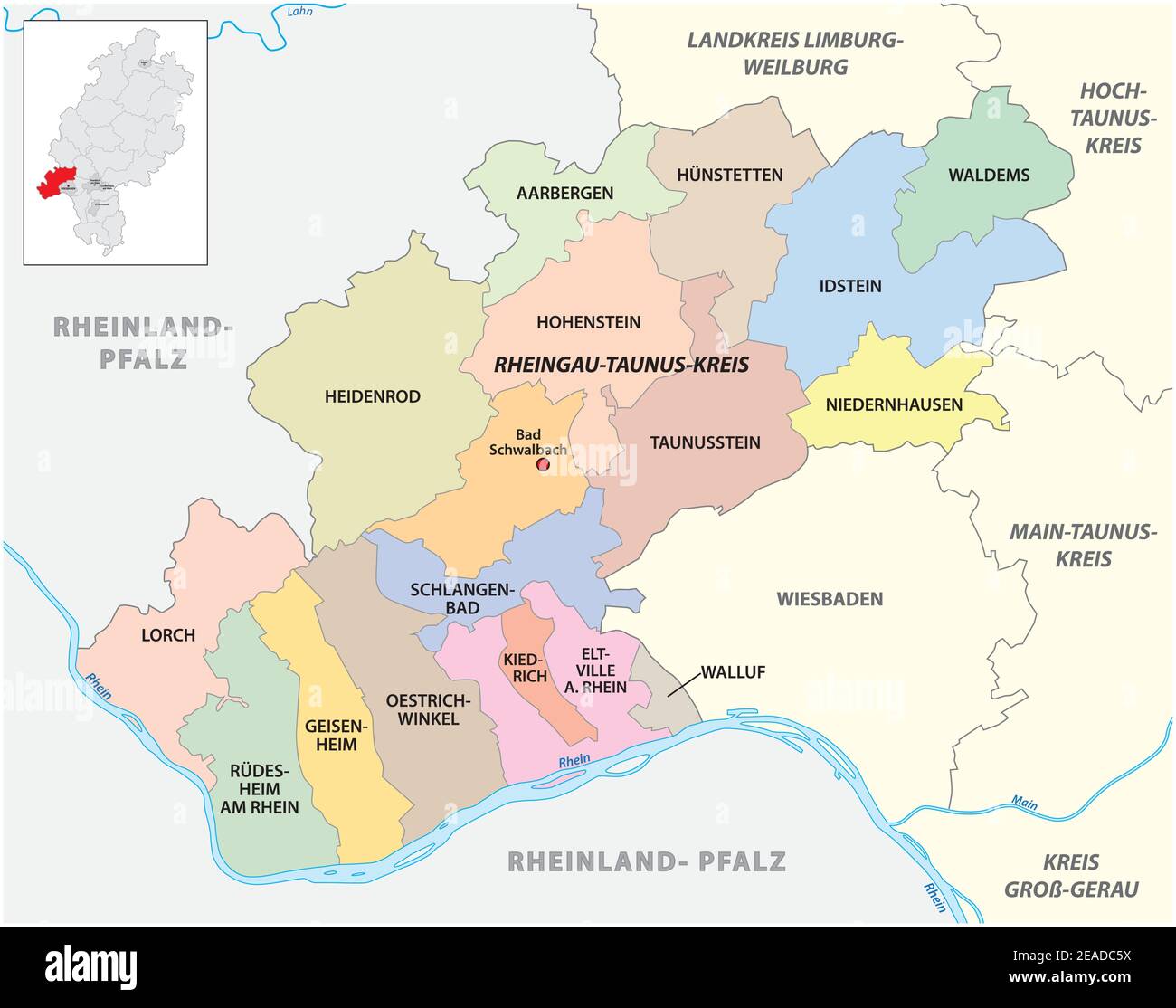 Vector administrative district map Rheingau-Taunus-Kreis, Hesse, Germany Stock Vectorhttps://www.alamy.com/image-license-details/?v=1https://www.alamy.com/vector-administrative-district-map-rheingau-taunus-kreis-hesse-germany-image402279974.html
RF2EADC5X–Vector administrative district map Rheingau-Taunus-Kreis, Hesse, Germany
 Infographics of Europe map, individual states blank Stock Photohttps://www.alamy.com/image-license-details/?v=1https://www.alamy.com/infographics-of-europe-map-individual-states-blank-image347321855.html
RF2B51TFY–Infographics of Europe map, individual states blank
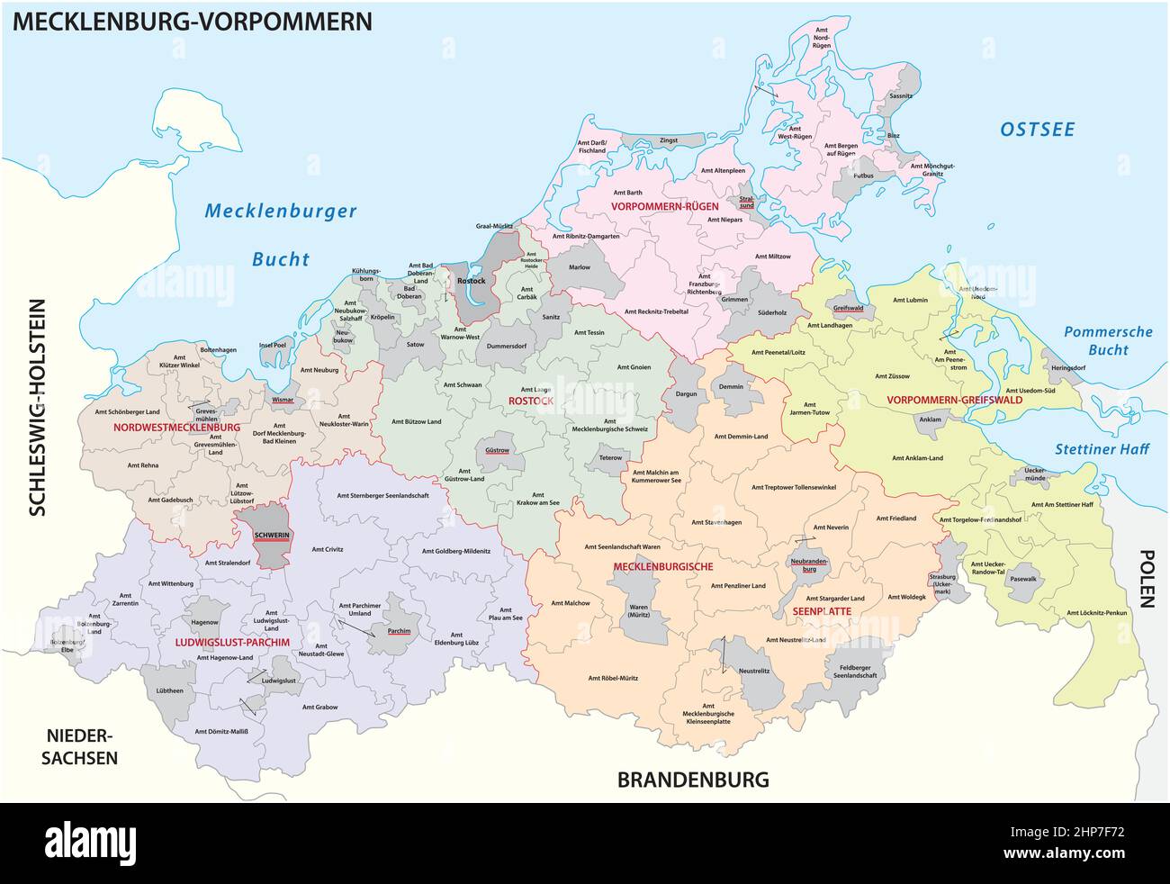 Administrative vector map of the state of Mecklenburg Western Pomerania, Germany Stock Vectorhttps://www.alamy.com/image-license-details/?v=1https://www.alamy.com/administrative-vector-map-of-the-state-of-mecklenburg-western-pomerania-germany-image461157622.html
RF2HP7F72–Administrative vector map of the state of Mecklenburg Western Pomerania, Germany
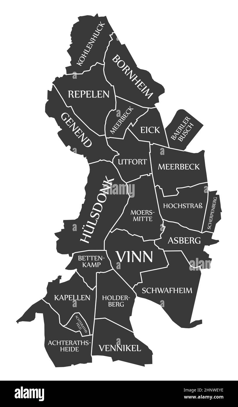 Moers City Map Germany DE labelled black illustration Stock Photohttps://www.alamy.com/image-license-details/?v=1https://www.alamy.com/moers-city-map-germany-de-labelled-black-illustration-image460937890.html
RF2HNWEYE–Moers City Map Germany DE labelled black illustration
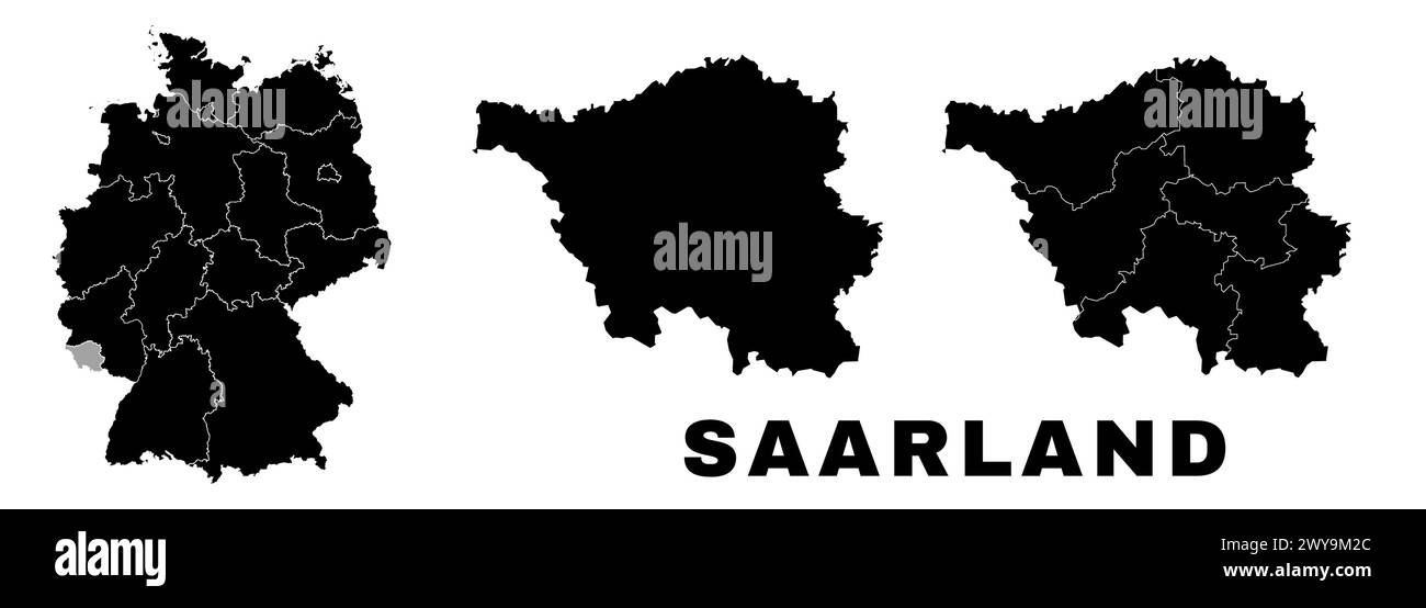 Saarland map, German state. Germany administrative division, regions and boroughs, amt and municipalities. Stock Vectorhttps://www.alamy.com/image-license-details/?v=1https://www.alamy.com/saarland-map-german-state-germany-administrative-division-regions-and-boroughs-amt-and-municipalities-image601961540.html
RF2WY9M2C–Saarland map, German state. Germany administrative division, regions and boroughs, amt and municipalities.
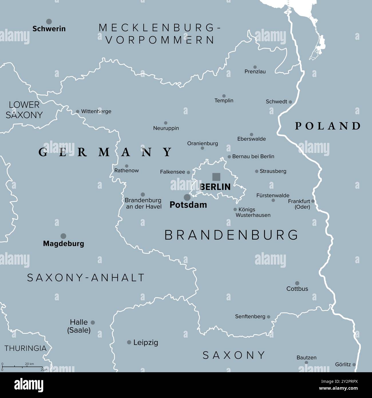 Brandenburg, a state in northeastern Germany, gray political map with capital and largest city Potsdam, borders and largest cities. Stock Photohttps://www.alamy.com/image-license-details/?v=1https://www.alamy.com/brandenburg-a-state-in-northeastern-germany-gray-political-map-with-capital-and-largest-city-potsdam-borders-and-largest-cities-image621304178.html
RF2Y2PRPX–Brandenburg, a state in northeastern Germany, gray political map with capital and largest city Potsdam, borders and largest cities.
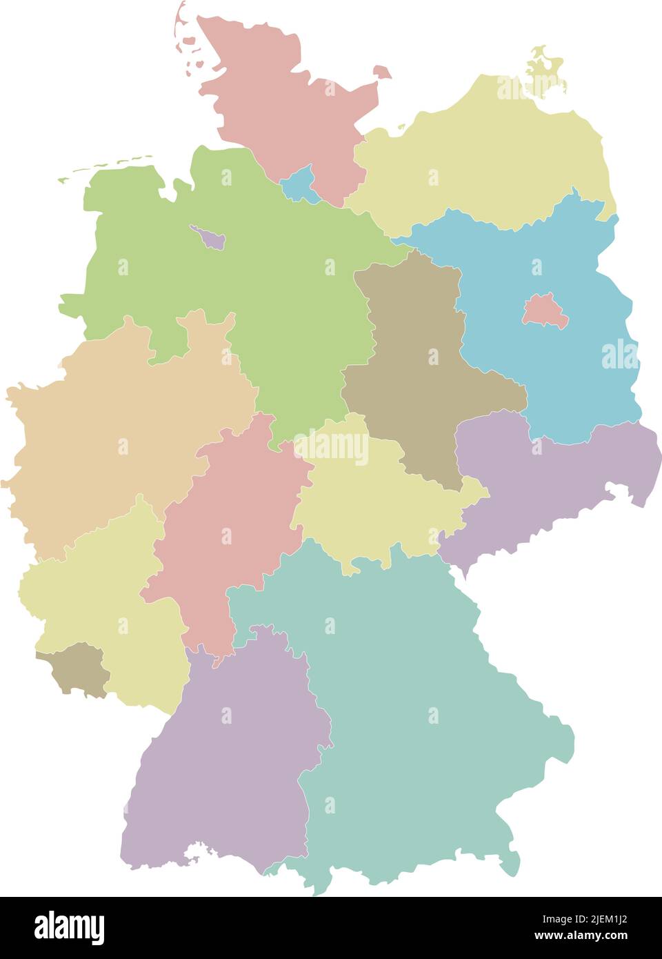 Vector blank map of Germany with federated states or regions and administrative divisions. Editable and clearly labeled layers. Stock Vectorhttps://www.alamy.com/image-license-details/?v=1https://www.alamy.com/vector-blank-map-of-germany-with-federated-states-or-regions-and-administrative-divisions-editable-and-clearly-labeled-layers-image473725450.html
RF2JEM1J2–Vector blank map of Germany with federated states or regions and administrative divisions. Editable and clearly labeled layers.
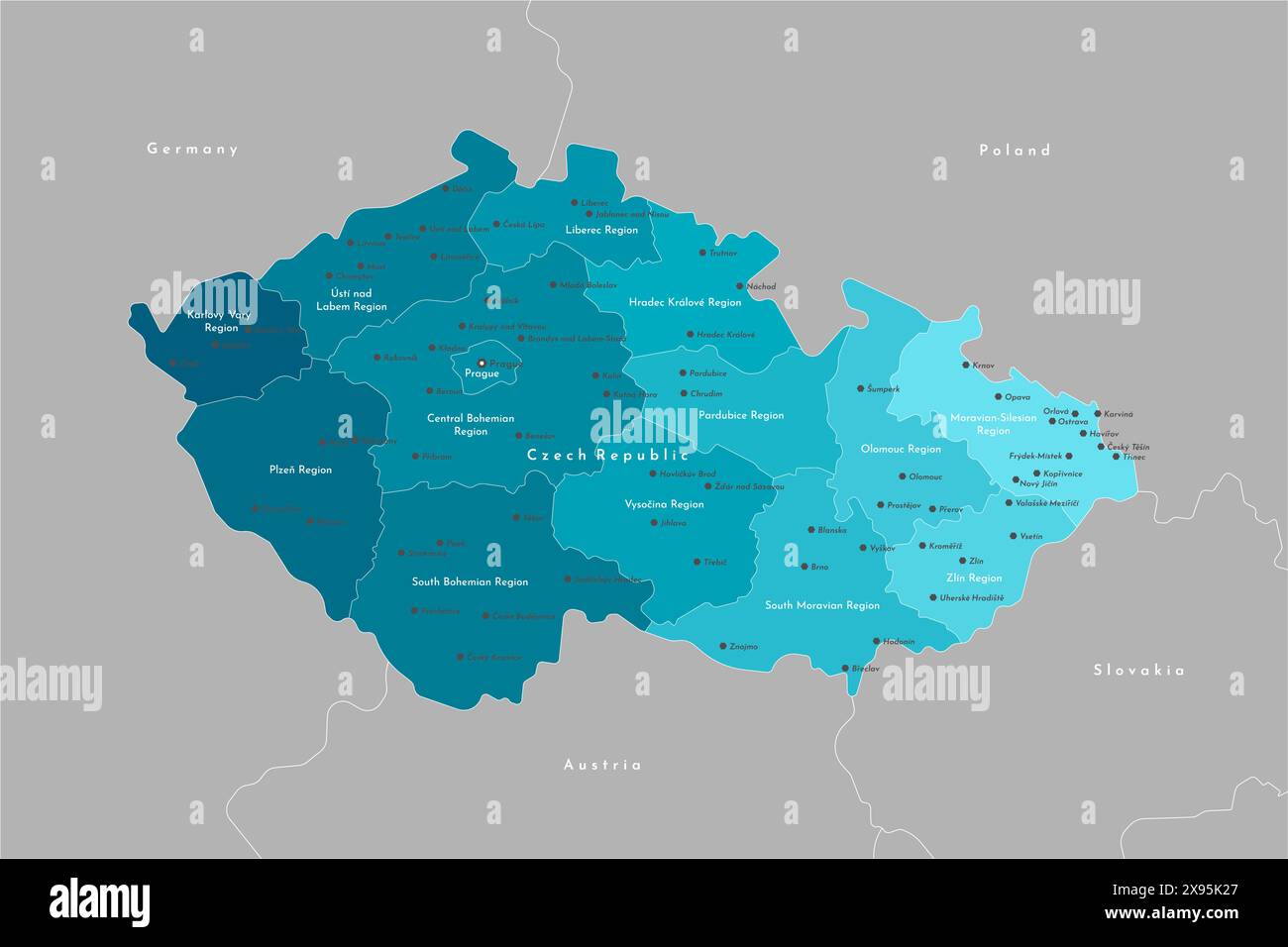 Vector modern illustration. Simplified administrative map of Czech Republic. Border with nearest states Austria, Germany and etc. Blue shapes of regio Stock Vectorhttps://www.alamy.com/image-license-details/?v=1https://www.alamy.com/vector-modern-illustration-simplified-administrative-map-of-czech-republic-border-with-nearest-states-austria-germany-and-etc-blue-shapes-of-regio-image608019503.html
RF2X95K27–Vector modern illustration. Simplified administrative map of Czech Republic. Border with nearest states Austria, Germany and etc. Blue shapes of regio
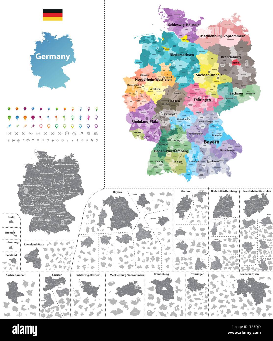 Germany high detailed vector map (colored by states and administrative districts Stock Vectorhttps://www.alamy.com/image-license-details/?v=1https://www.alamy.com/germany-high-detailed-vector-map-colored-by-states-and-administrative-districts-image245982865.html
RFT85DJ9–Germany high detailed vector map (colored by states and administrative districts
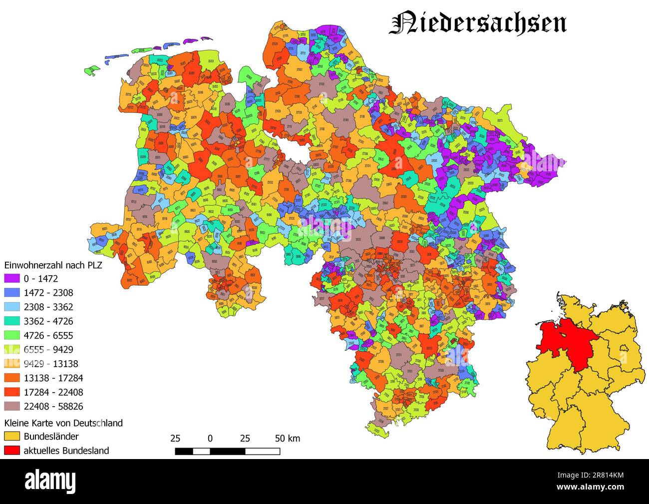 Federal state Niedersachsen population by postal code map with Germany map Stock Photohttps://www.alamy.com/image-license-details/?v=1https://www.alamy.com/federal-state-niedersachsen-population-by-postal-code-map-with-germany-map-image555674664.html
RF2R814KM–Federal state Niedersachsen population by postal code map with Germany map
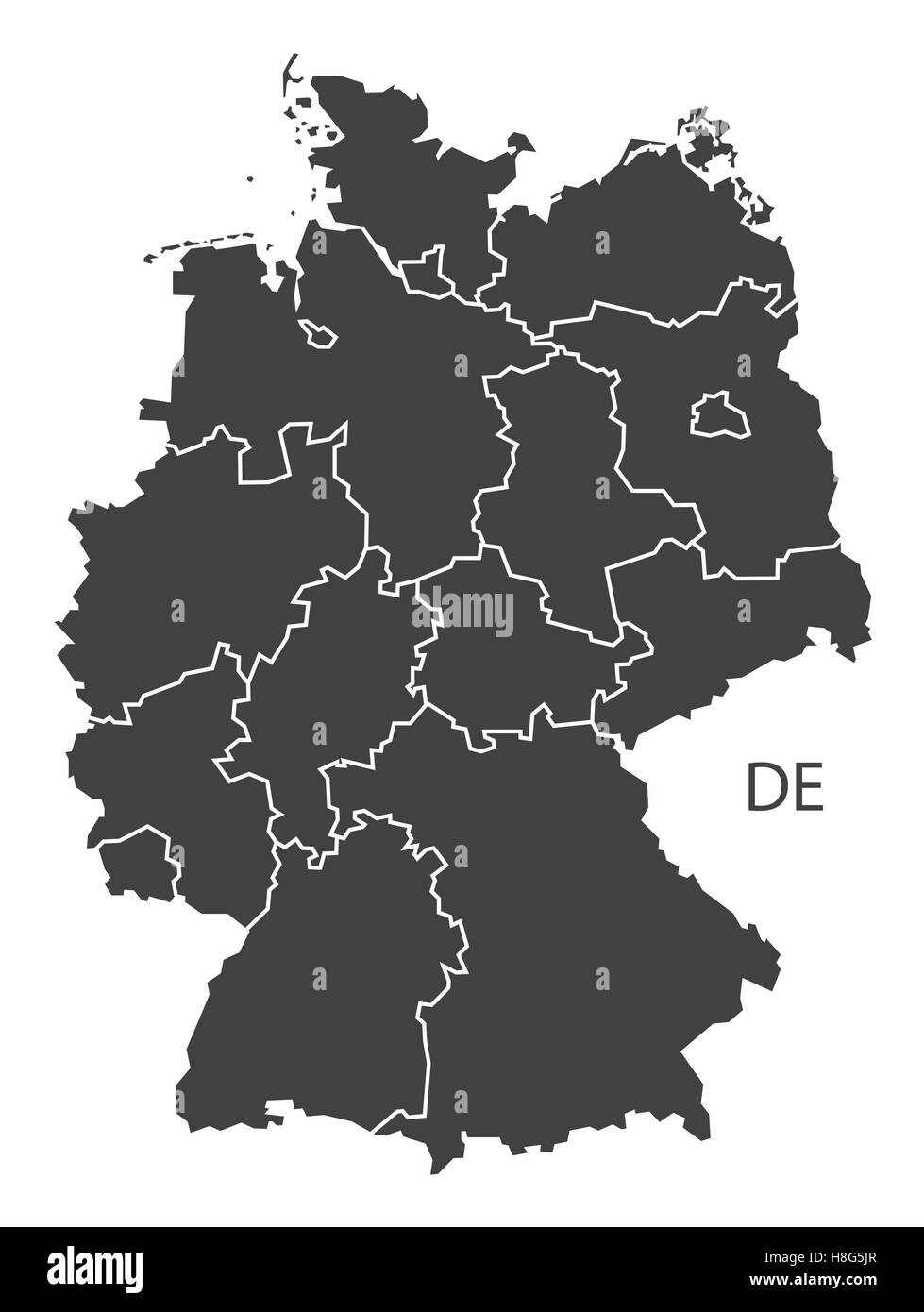 Germany Map black edition Stock Vectorhttps://www.alamy.com/image-license-details/?v=1https://www.alamy.com/stock-photo-germany-map-black-edition-125745503.html
RFH8G5JR–Germany Map black edition
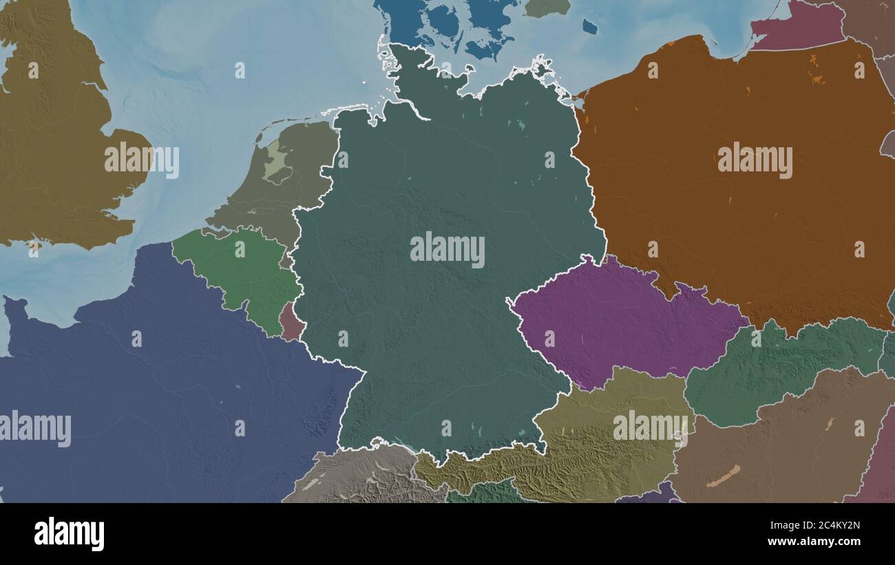 Outlined shape of the Germany area. Colored and bumped map of the administrative division with surface waters. 3D rendering Stock Photohttps://www.alamy.com/image-license-details/?v=1https://www.alamy.com/outlined-shape-of-the-germany-area-colored-and-bumped-map-of-the-administrative-division-with-surface-waters-3d-rendering-image364314685.html
RF2C4KY2N–Outlined shape of the Germany area. Colored and bumped map of the administrative division with surface waters. 3D rendering
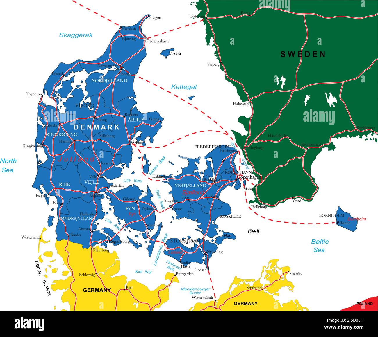 Highly detailed vector map of Denmark with administrative regions,main cities and roads. Stock Vectorhttps://www.alamy.com/image-license-details/?v=1https://www.alamy.com/highly-detailed-vector-map-of-denmark-with-administrative-regionsmain-cities-and-roads-image468045049.html
RF2J5D86H–Highly detailed vector map of Denmark with administrative regions,main cities and roads.
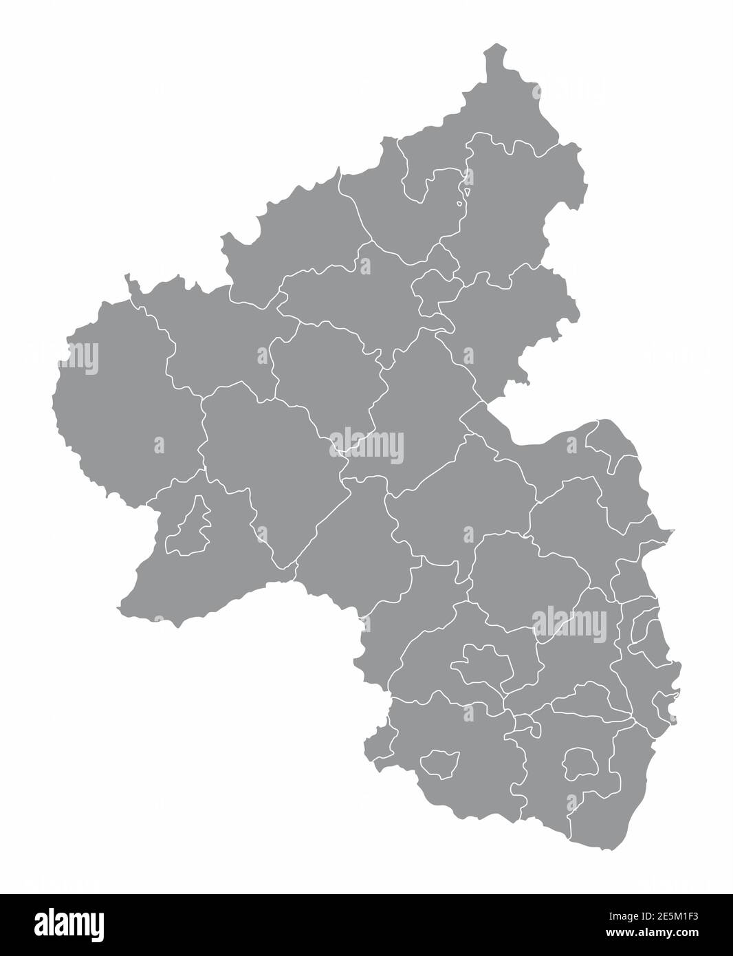 Rhineland-Palatinate districts map Stock Vectorhttps://www.alamy.com/image-license-details/?v=1https://www.alamy.com/rhineland-palatinate-districts-map-image399351991.html
RF2E5M1F3–Rhineland-Palatinate districts map
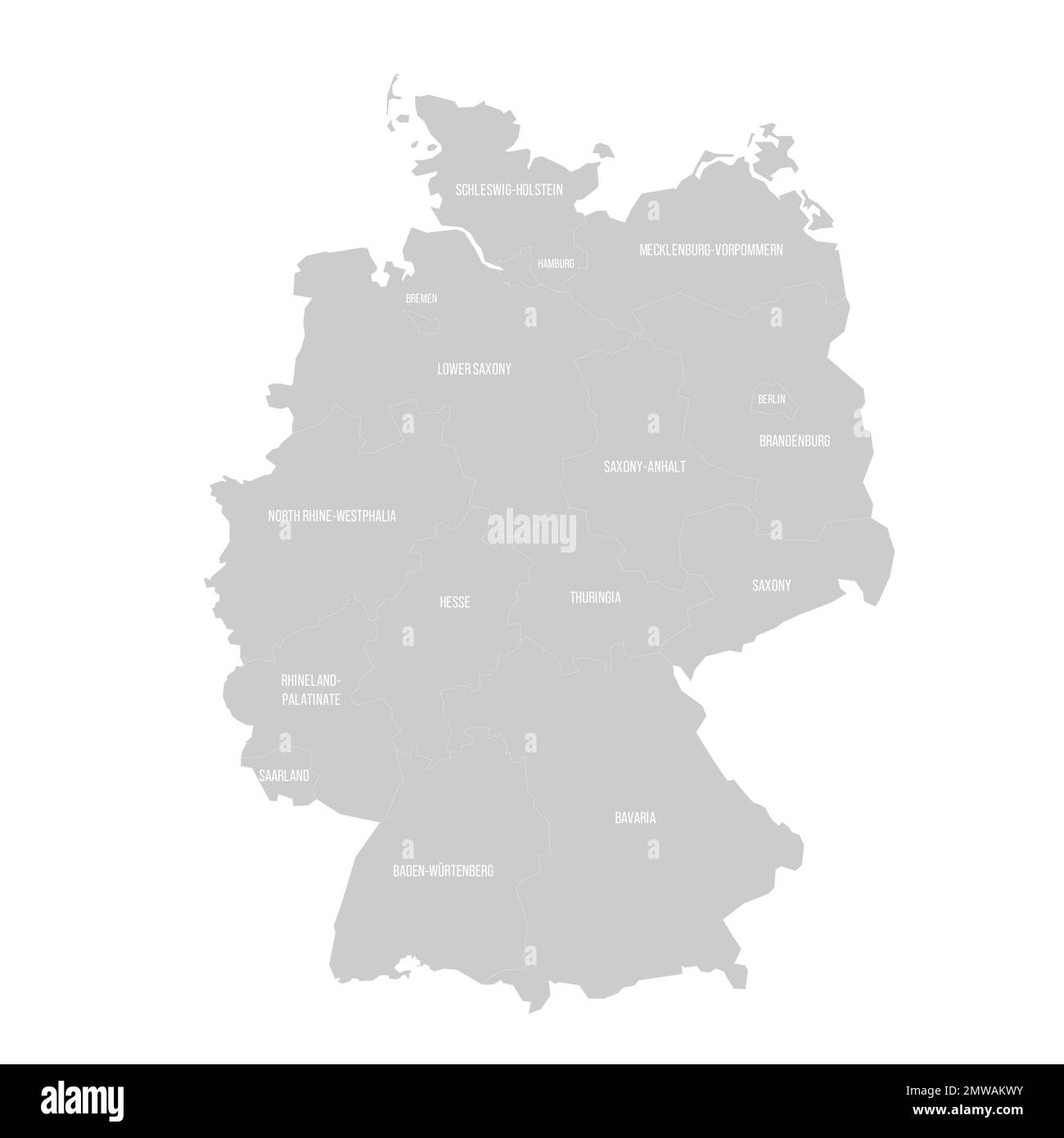 Germany political map of administrative divisions Stock Vectorhttps://www.alamy.com/image-license-details/?v=1https://www.alamy.com/germany-political-map-of-administrative-divisions-image514702215.html
RF2MWAKWY–Germany political map of administrative divisions
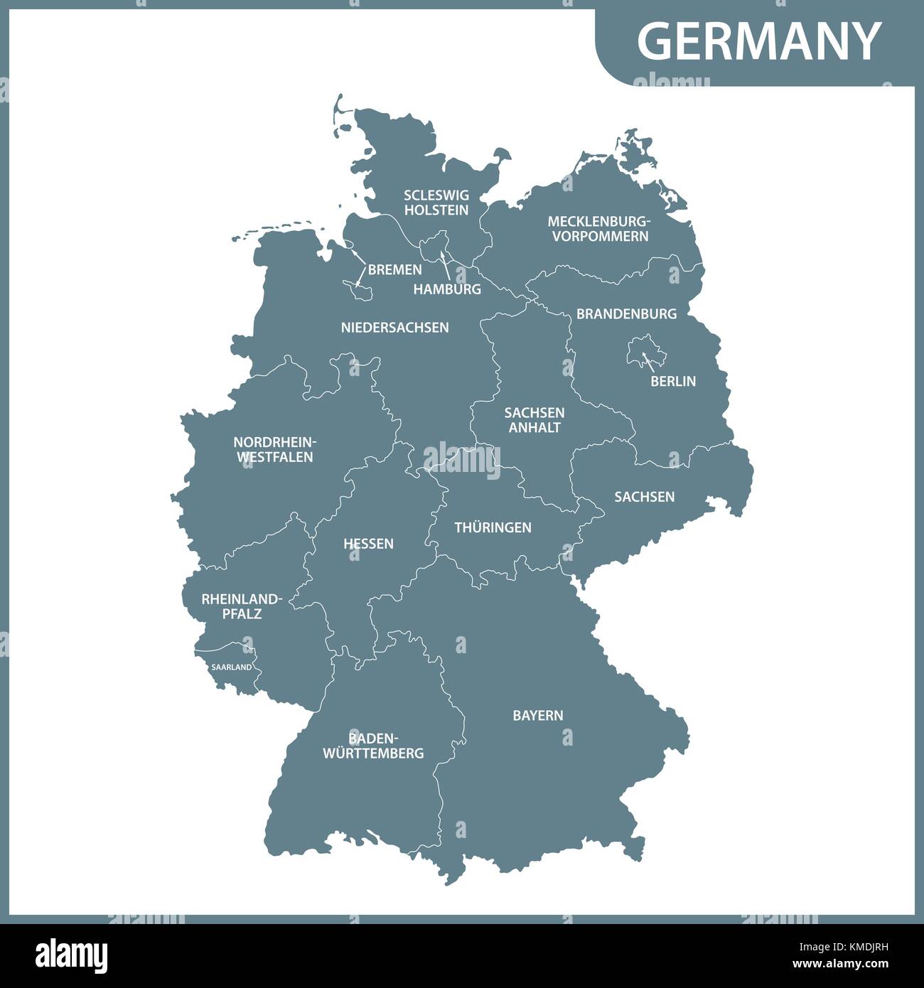 The detailed map of the Germany with regions Stock Vectorhttps://www.alamy.com/image-license-details/?v=1https://www.alamy.com/stock-image-the-detailed-map-of-the-germany-with-regions-167486581.html
RFKMDJRH–The detailed map of the Germany with regions
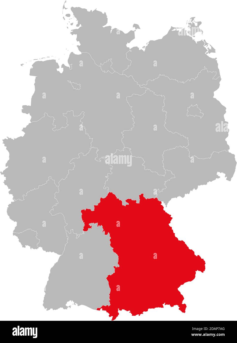 Bavaria state isolated on Germany map. Business concepts and backgrounds. Stock Vectorhttps://www.alamy.com/image-license-details/?v=1https://www.alamy.com/bavaria-state-isolated-on-germany-map-business-concepts-and-backgrounds-image385263384.html
RF2DAP7AG–Bavaria state isolated on Germany map. Business concepts and backgrounds.
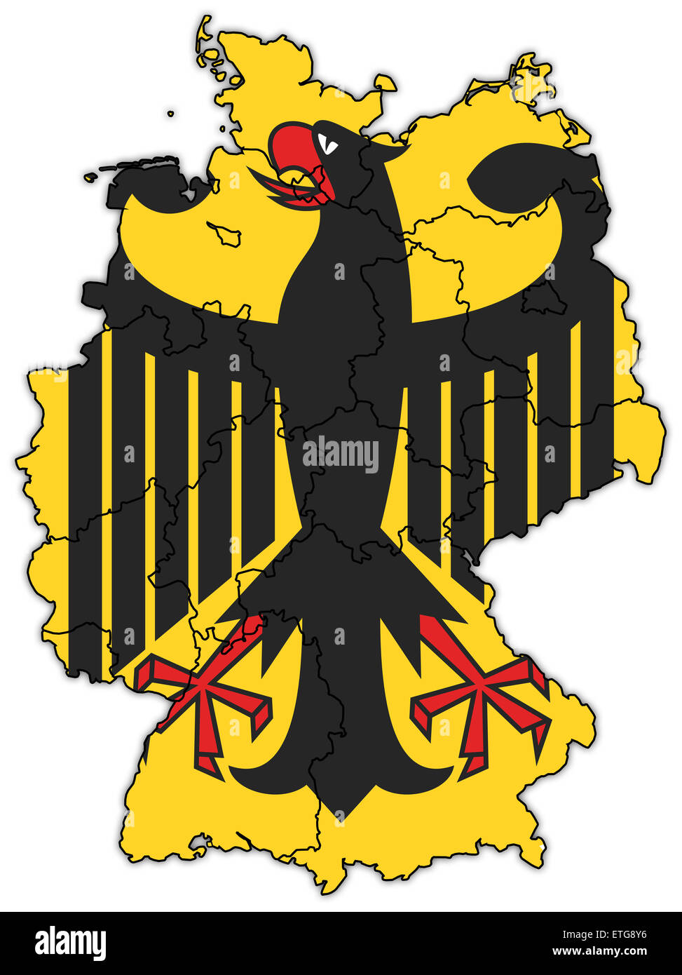 german flag on old administration map of german provinces Stock Photohttps://www.alamy.com/image-license-details/?v=1https://www.alamy.com/stock-photo-german-flag-on-old-administration-map-of-german-provinces-83951482.html
RFETG8Y6–german flag on old administration map of german provinces
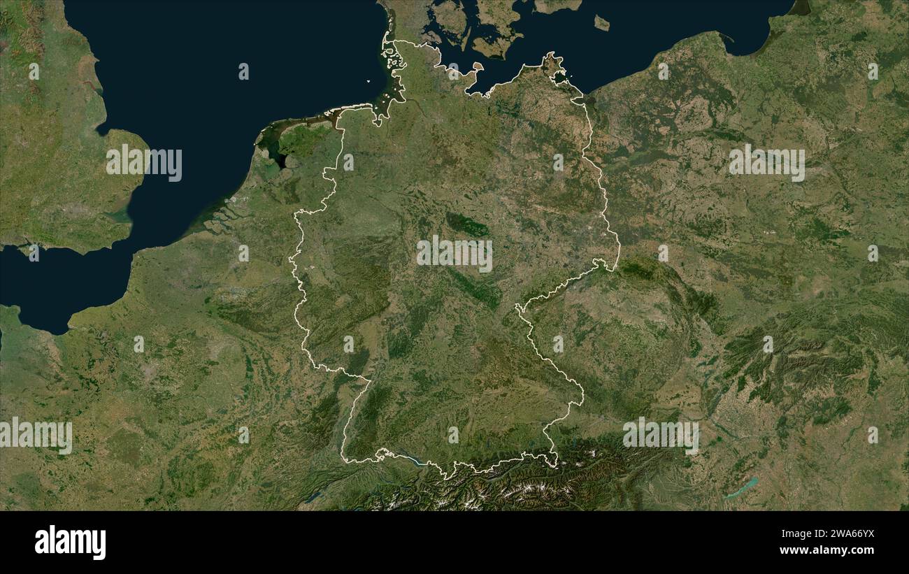 Germany outlined on a low resolution satellite map Stock Photohttps://www.alamy.com/image-license-details/?v=1https://www.alamy.com/germany-outlined-on-a-low-resolution-satellite-map-image591436270.html
RF2WA66YX–Germany outlined on a low resolution satellite map
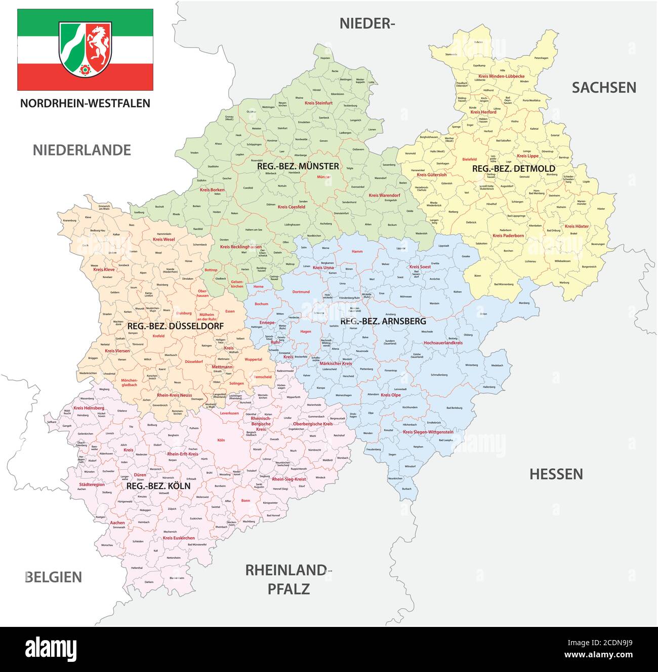 administrative vector map of the state of North Rhine-Westphalia with flag in German language, Germany Stock Vectorhttps://www.alamy.com/image-license-details/?v=1https://www.alamy.com/administrative-vector-map-of-the-state-of-north-rhine-westphalia-with-flag-in-german-language-germany-image369876817.html
RF2CDN9J9–administrative vector map of the state of North Rhine-Westphalia with flag in German language, Germany
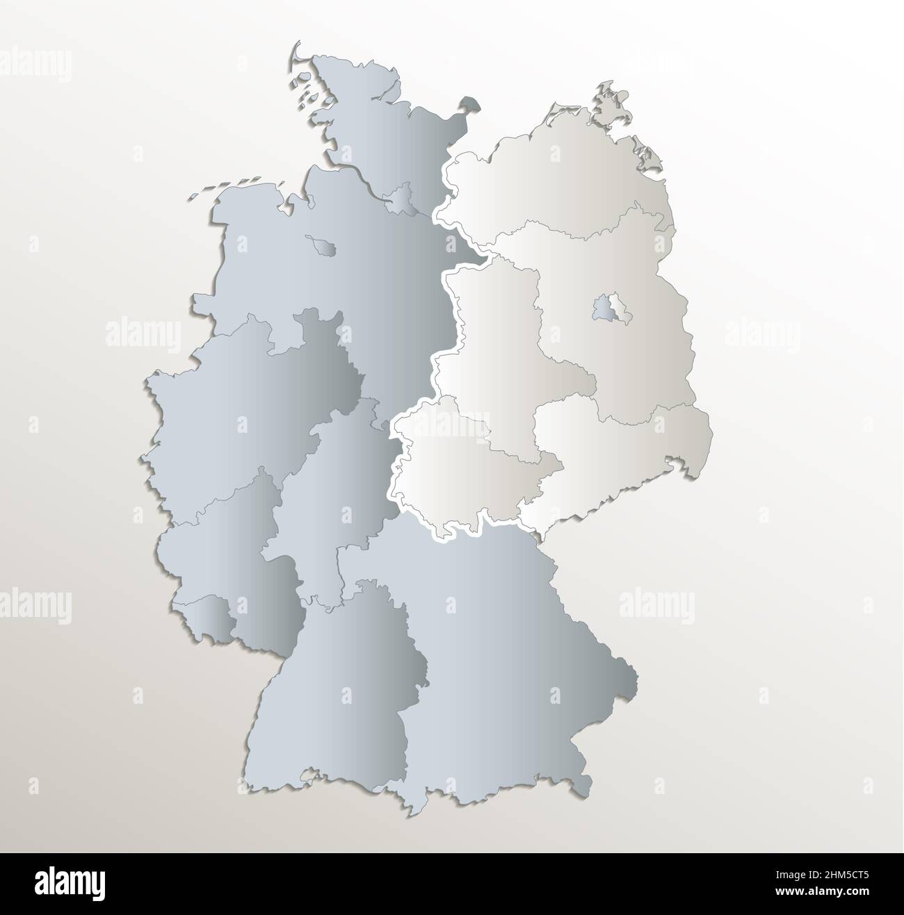 Germany map divided on West and East map, administrative division, white blue card paper 3D, blank Stock Photohttps://www.alamy.com/image-license-details/?v=1https://www.alamy.com/germany-map-divided-on-west-and-east-map-administrative-division-white-blue-card-paper-3d-blank-image459882533.html
RF2HM5CT5–Germany map divided on West and East map, administrative division, white blue card paper 3D, blank
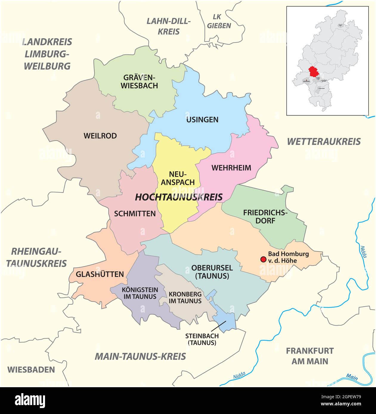 Vector administrative district map Hochtaunuskreis, Hesse, Germany Stock Vectorhttps://www.alamy.com/image-license-details/?v=1https://www.alamy.com/vector-administrative-district-map-hochtaunuskreis-hesse-germany-image444108765.html
RF2GPEW79–Vector administrative district map Hochtaunuskreis, Hesse, Germany
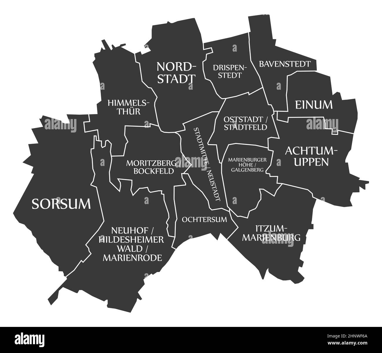 Hildesheim City Map Germany DE labelled black illustration Stock Photohttps://www.alamy.com/image-license-details/?v=1https://www.alamy.com/hildesheim-city-map-germany-de-labelled-black-illustration-image460938082.html
RF2HNWF6A–Hildesheim City Map Germany DE labelled black illustration
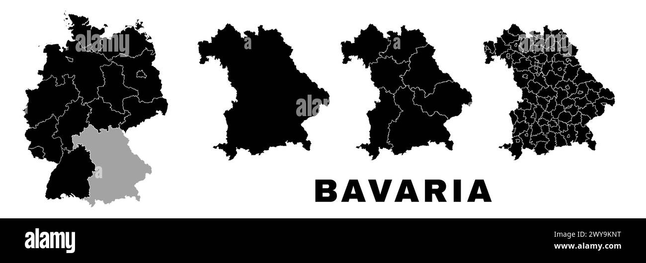 Bavaria map, German state. Germany administrative division, regions and boroughs, amt and municipalities. Stock Vectorhttps://www.alamy.com/image-license-details/?v=1https://www.alamy.com/bavaria-map-german-state-germany-administrative-division-regions-and-boroughs-amt-and-municipalities-image601961300.html
RF2WY9KNT–Bavaria map, German state. Germany administrative division, regions and boroughs, amt and municipalities.
 Germany, a country in Central Europe with capital Berlin, political map. The Federal Republic of Germany, with its 16 constituent states. Stock Photohttps://www.alamy.com/image-license-details/?v=1https://www.alamy.com/germany-a-country-in-central-europe-with-capital-berlin-political-map-the-federal-republic-of-germany-with-its-16-constituent-states-image620913026.html
RF2Y250W6–Germany, a country in Central Europe with capital Berlin, political map. The Federal Republic of Germany, with its 16 constituent states.
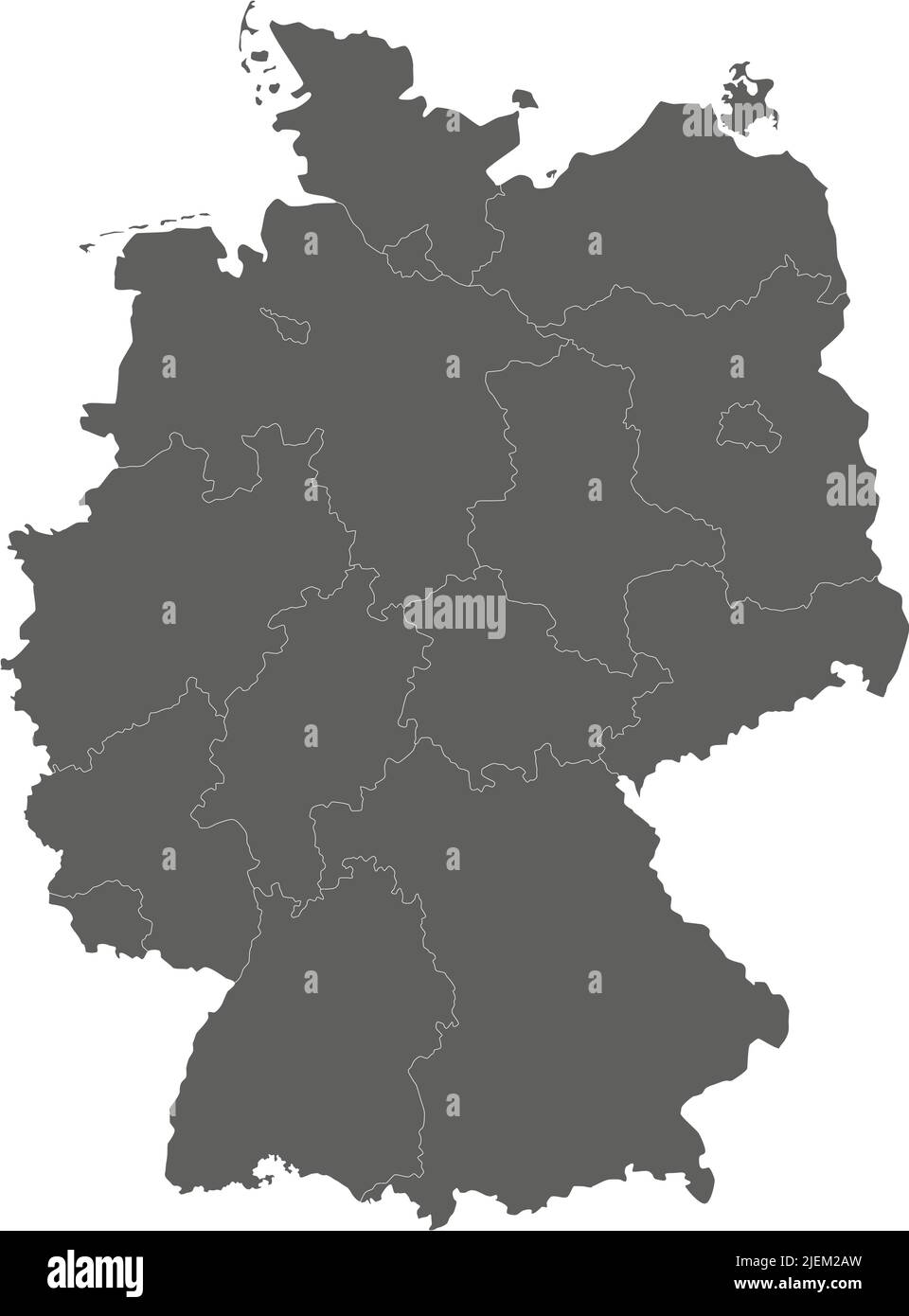 Vector blank map of Germany with federated states or regions and administrative divisions. Editable and clearly labeled layers. Stock Vectorhttps://www.alamy.com/image-license-details/?v=1https://www.alamy.com/vector-blank-map-of-germany-with-federated-states-or-regions-and-administrative-divisions-editable-and-clearly-labeled-layers-image473726033.html
RF2JEM2AW–Vector blank map of Germany with federated states or regions and administrative divisions. Editable and clearly labeled layers.
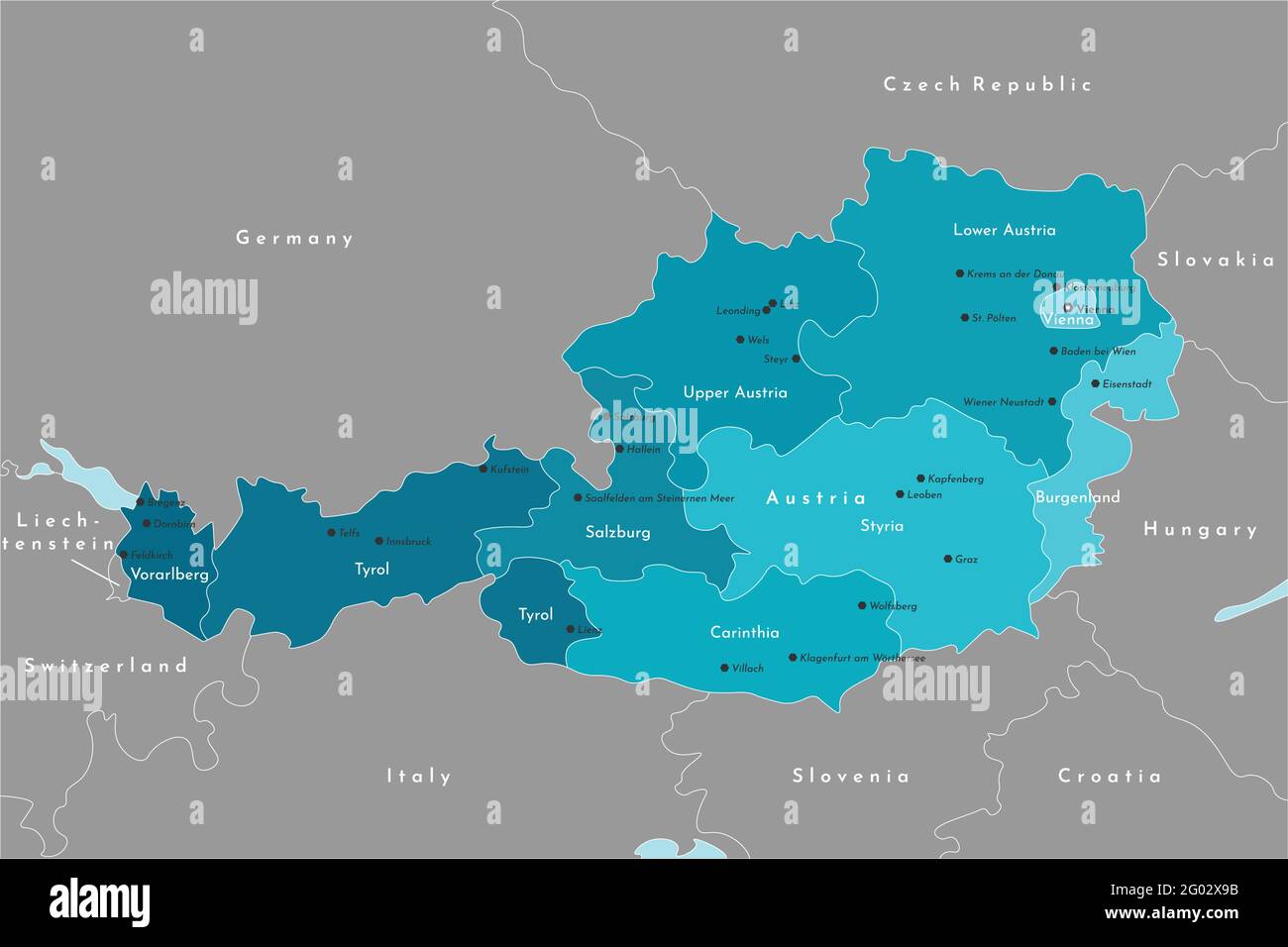 Vector modern illustration. Simplified administrative map of Austria. It is bordered by Germany, Czech Republic, Italy, Switzerland and etc. Names of Stock Vectorhttps://www.alamy.com/image-license-details/?v=1https://www.alamy.com/vector-modern-illustration-simplified-administrative-map-of-austria-it-is-bordered-by-germany-czech-republic-italy-switzerland-and-etc-names-of-image430323751.html
RF2G02X9B–Vector modern illustration. Simplified administrative map of Austria. It is bordered by Germany, Czech Republic, Italy, Switzerland and etc. Names of
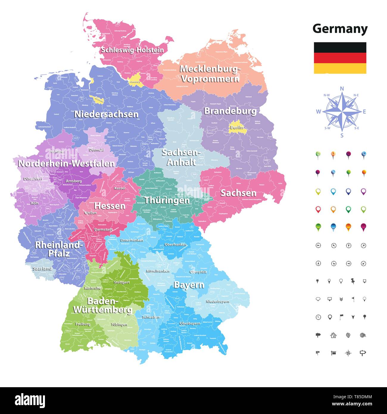 Germany high detailed vector map (colored by states and administrative districts Stock Vectorhttps://www.alamy.com/image-license-details/?v=1https://www.alamy.com/germany-high-detailed-vector-map-colored-by-states-and-administrative-districts-image245982932.html
RFT85DMM–Germany high detailed vector map (colored by states and administrative districts
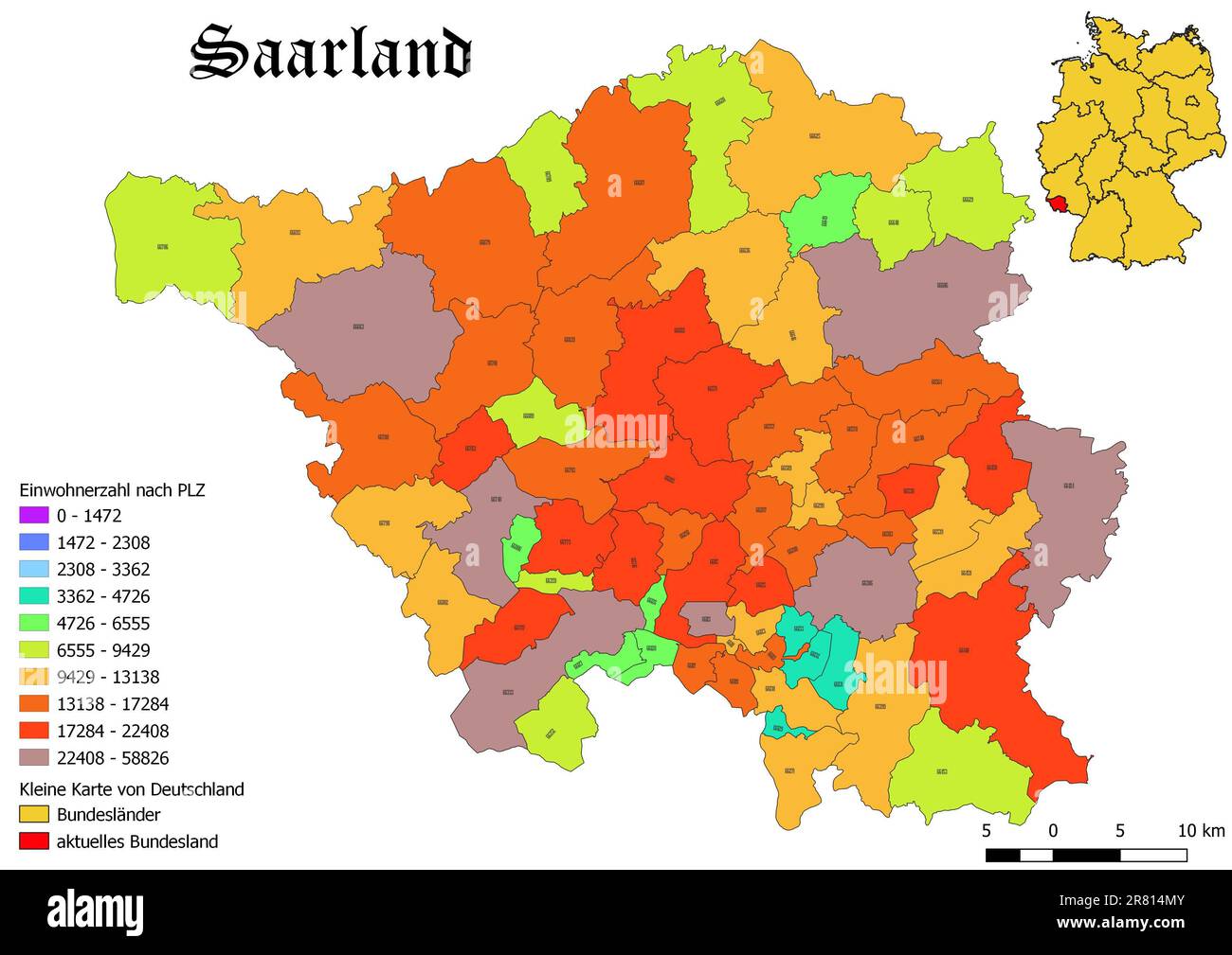 Federal state Saarland population by postal code map with Germany map Stock Photohttps://www.alamy.com/image-license-details/?v=1https://www.alamy.com/federal-state-saarland-population-by-postal-code-map-with-germany-map-image555674699.html
RF2R814MY–Federal state Saarland population by postal code map with Germany map
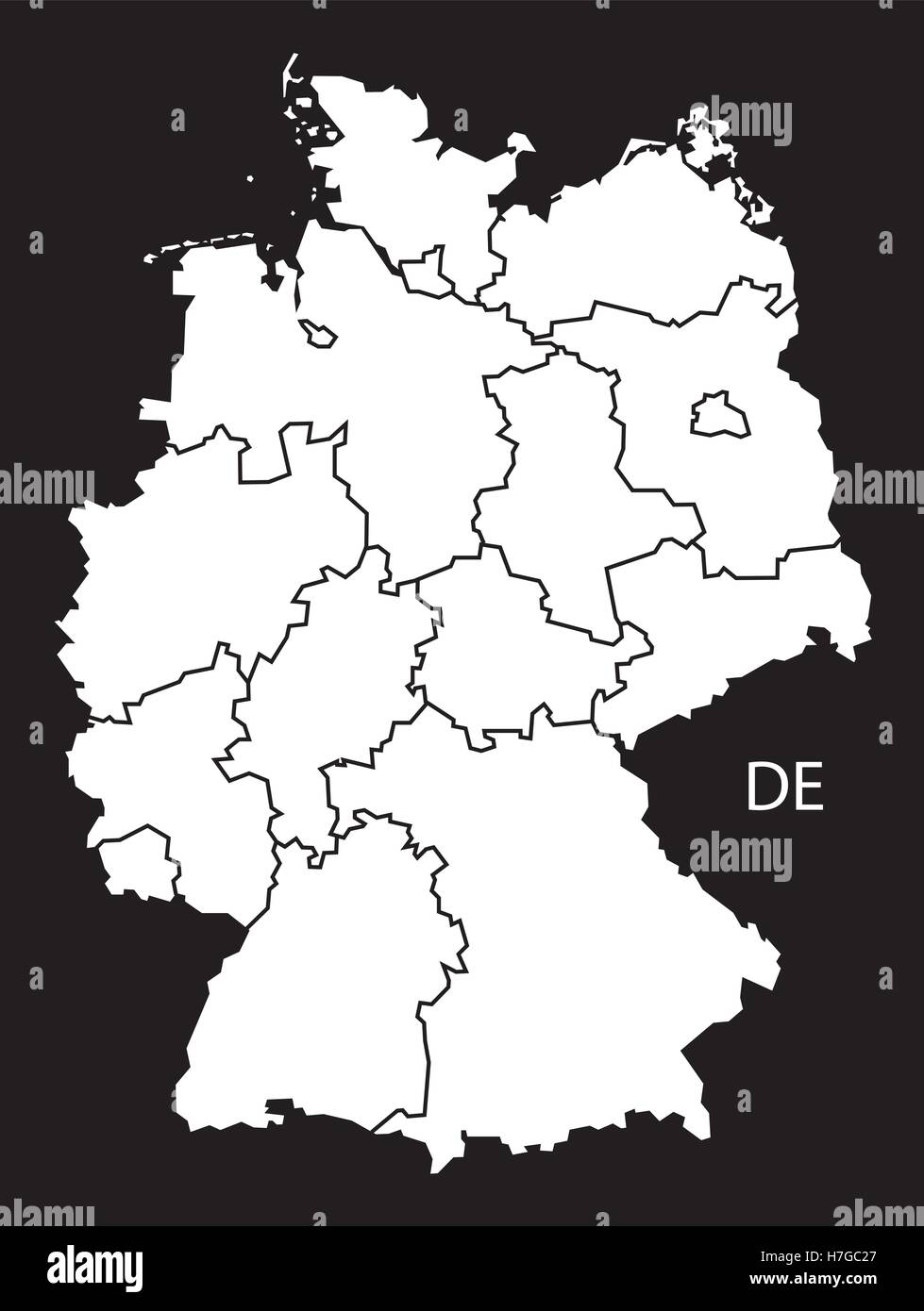 Germany with states Map black white Stock Vectorhttps://www.alamy.com/image-license-details/?v=1https://www.alamy.com/stock-photo-germany-with-states-map-black-white-125135871.html
RFH7GC27–Germany with states Map black white
 Zoom in on Niedersachsen (state of Germany) extruded. Oblique perspective. Colored and bumped map of the administrative division with surface waters. Stock Photohttps://www.alamy.com/image-license-details/?v=1https://www.alamy.com/zoom-in-on-niedersachsen-state-of-germany-extruded-oblique-perspective-colored-and-bumped-map-of-the-administrative-division-with-surface-waters-image364314458.html
RF2C4KXPJ–Zoom in on Niedersachsen (state of Germany) extruded. Oblique perspective. Colored and bumped map of the administrative division with surface waters.
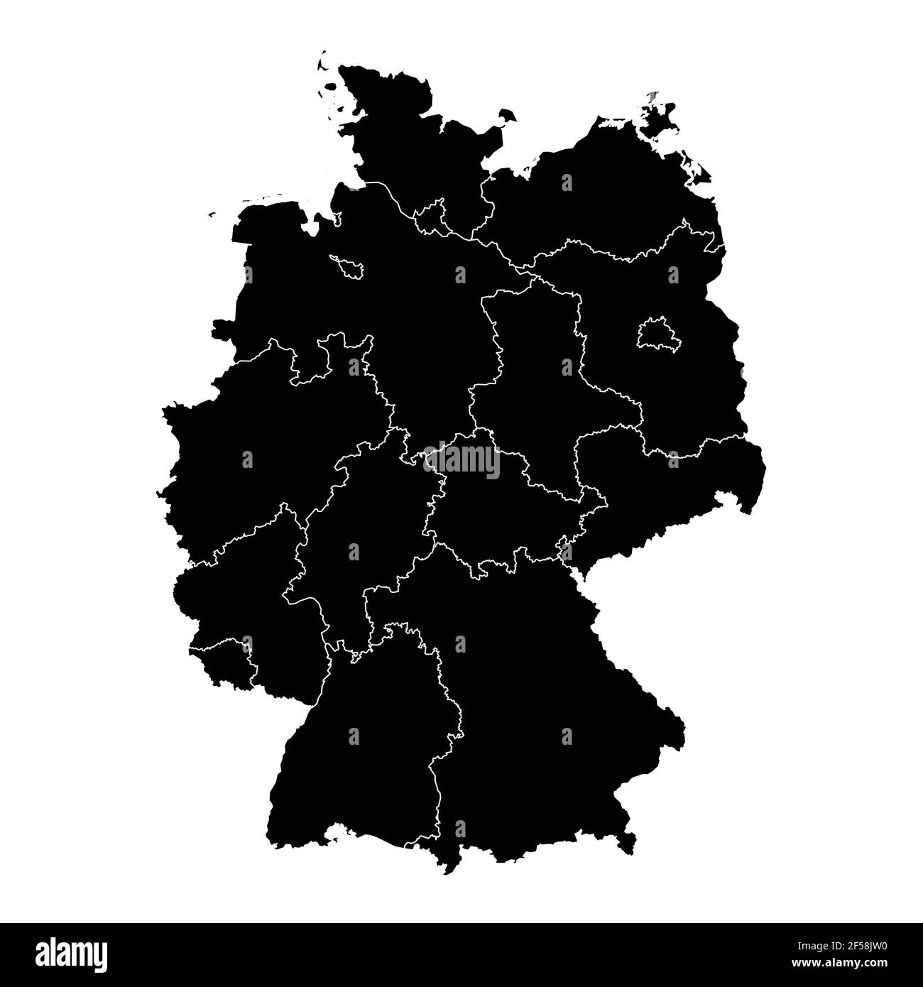 Germany country map vector with regional areas Stock Vectorhttps://www.alamy.com/image-license-details/?v=1https://www.alamy.com/germany-country-map-vector-with-regional-areas-image416312540.html
RF2F58JW0–Germany country map vector with regional areas
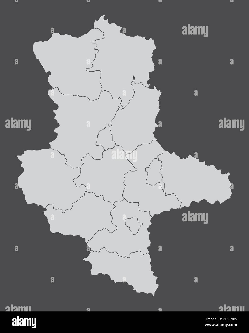 Saxony-Anhalt districts map Stock Vectorhttps://www.alamy.com/image-license-details/?v=1https://www.alamy.com/saxony-anhalt-districts-map-image398928213.html
RF2E50N05–Saxony-Anhalt districts map
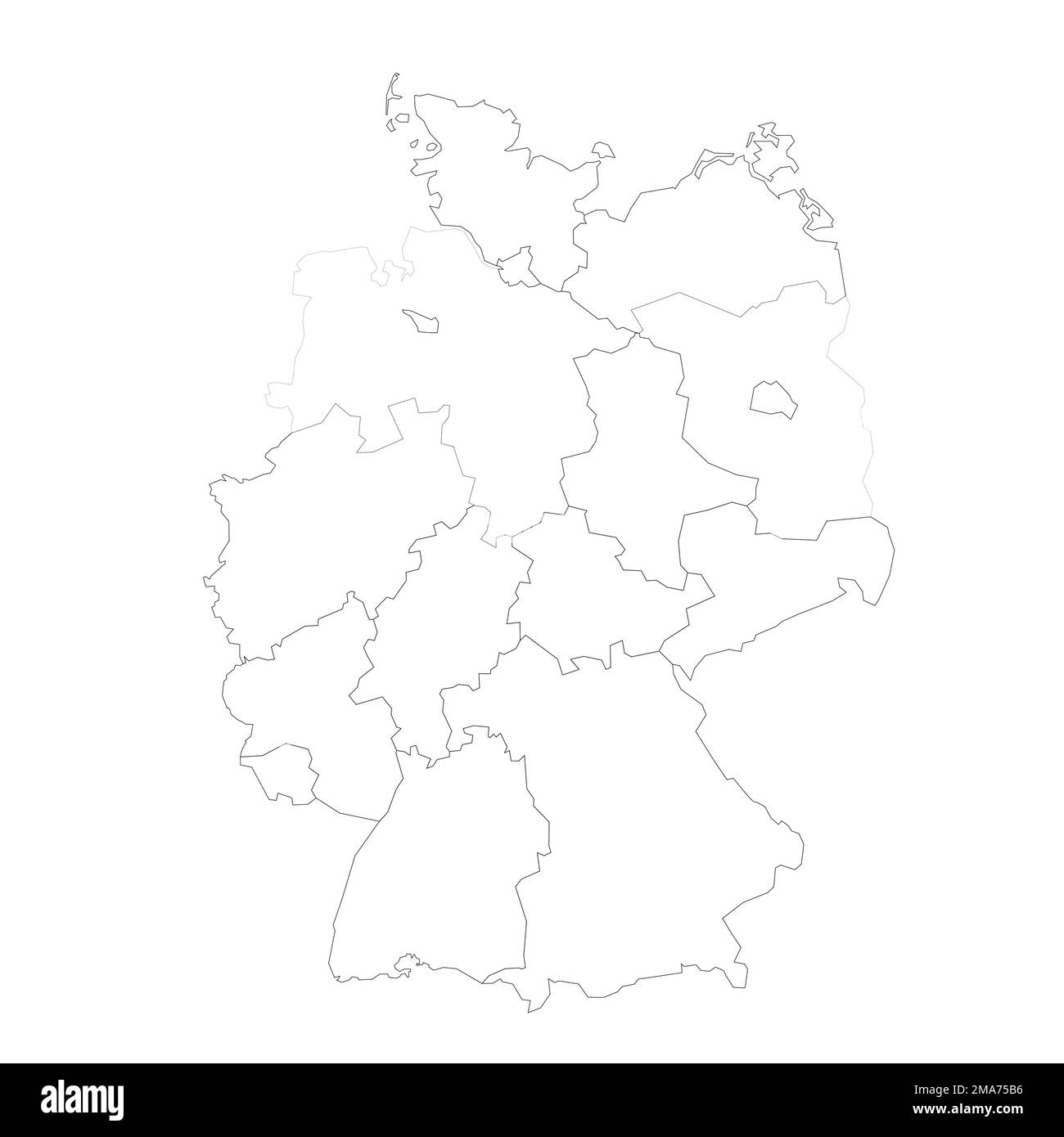 Germany political map of administrative divisions Stock Vectorhttps://www.alamy.com/image-license-details/?v=1https://www.alamy.com/germany-political-map-of-administrative-divisions-image505405130.html
RF2MA75B6–Germany political map of administrative divisions
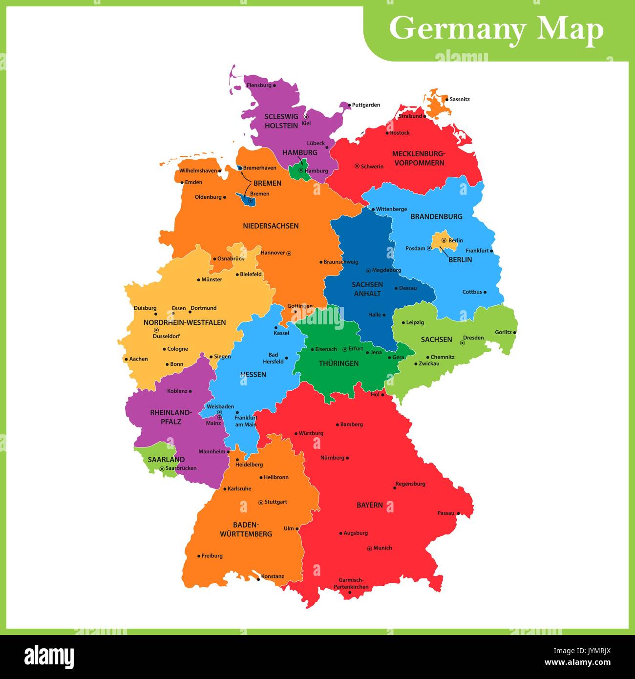 The detailed map of the Germany with regions or states and cities, capitals Stock Vectorhttps://www.alamy.com/image-license-details/?v=1https://www.alamy.com/the-detailed-map-of-the-germany-with-regions-or-states-and-cities-image154736258.html
RFJYMRJX–The detailed map of the Germany with regions or states and cities, capitals
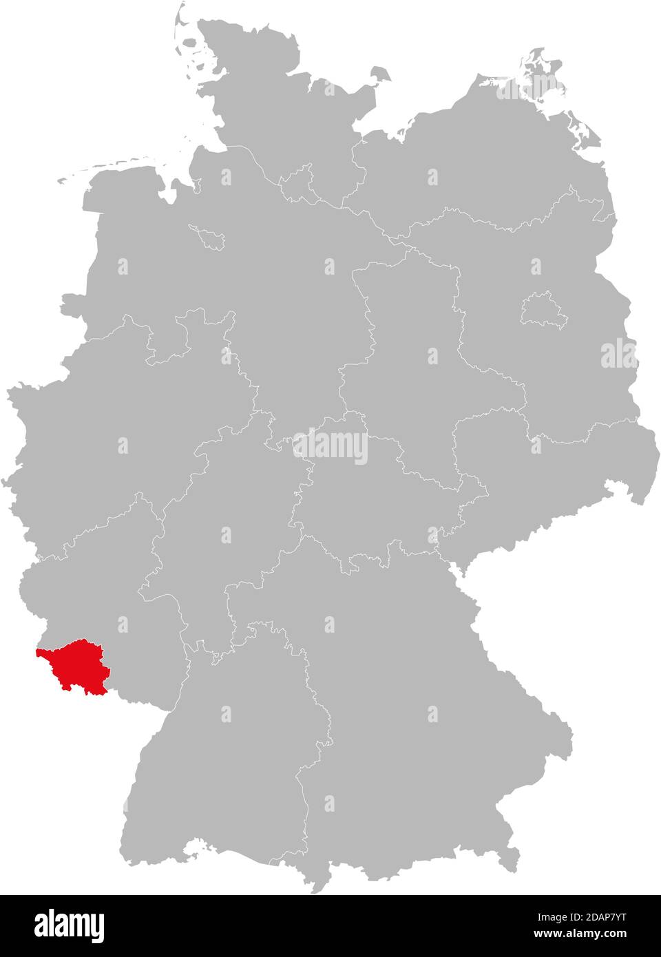 Saarland state isolated on Germany map. Business concepts and backgrounds. Stock Vectorhttps://www.alamy.com/image-license-details/?v=1https://www.alamy.com/saarland-state-isolated-on-germany-map-business-concepts-and-backgrounds-image385263868.html
RF2DAP7YT–Saarland state isolated on Germany map. Business concepts and backgrounds.
 german flag on old administration map of german provinces Stock Photohttps://www.alamy.com/image-license-details/?v=1https://www.alamy.com/stock-photo-german-flag-on-old-administration-map-of-german-provinces-83951486.html
RFETG8YA–german flag on old administration map of german provinces
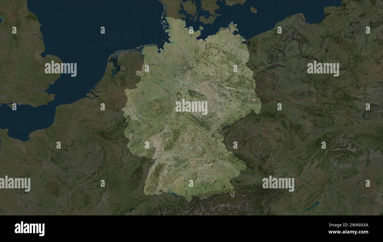 Germany highlighted on a high resolution satellite map Stock Photohttps://www.alamy.com/image-license-details/?v=1https://www.alamy.com/germany-highlighted-on-a-high-resolution-satellite-map-image591436226.html
RF2WA66XA–Germany highlighted on a high resolution satellite map
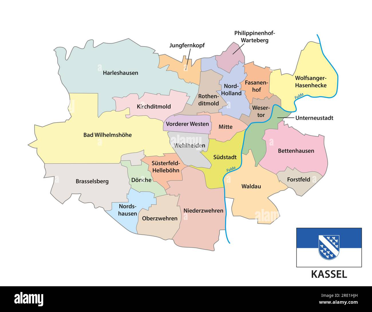 Administrative vector map of the North Hesse city of Kassel, Germany Stock Photohttps://www.alamy.com/image-license-details/?v=1https://www.alamy.com/administrative-vector-map-of-the-north-hesse-city-of-kassel-germany-image559372761.html
RF2RE1HJH–Administrative vector map of the North Hesse city of Kassel, Germany
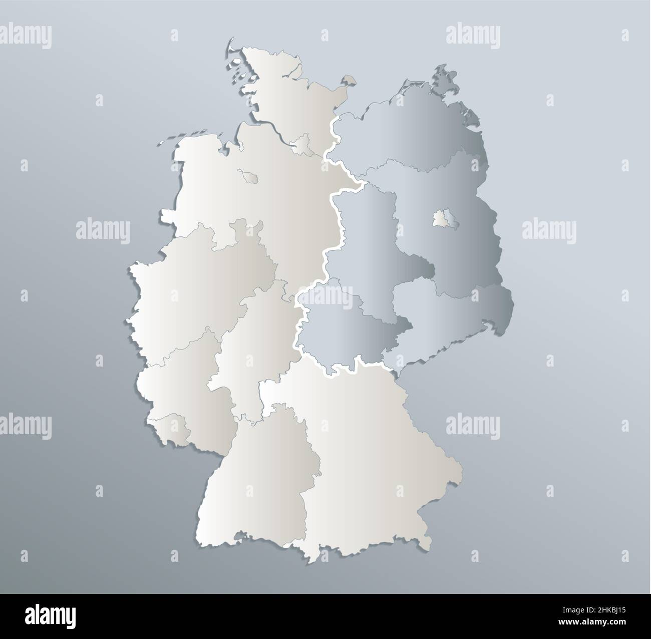 Germany map divided on West and East map, administrative division, blue white card paper 3D, blank Stock Photohttps://www.alamy.com/image-license-details/?v=1https://www.alamy.com/germany-map-divided-on-west-and-east-map-administrative-division-blue-white-card-paper-3d-blank-image459403649.html
RF2HKBJ15–Germany map divided on West and East map, administrative division, blue white card paper 3D, blank
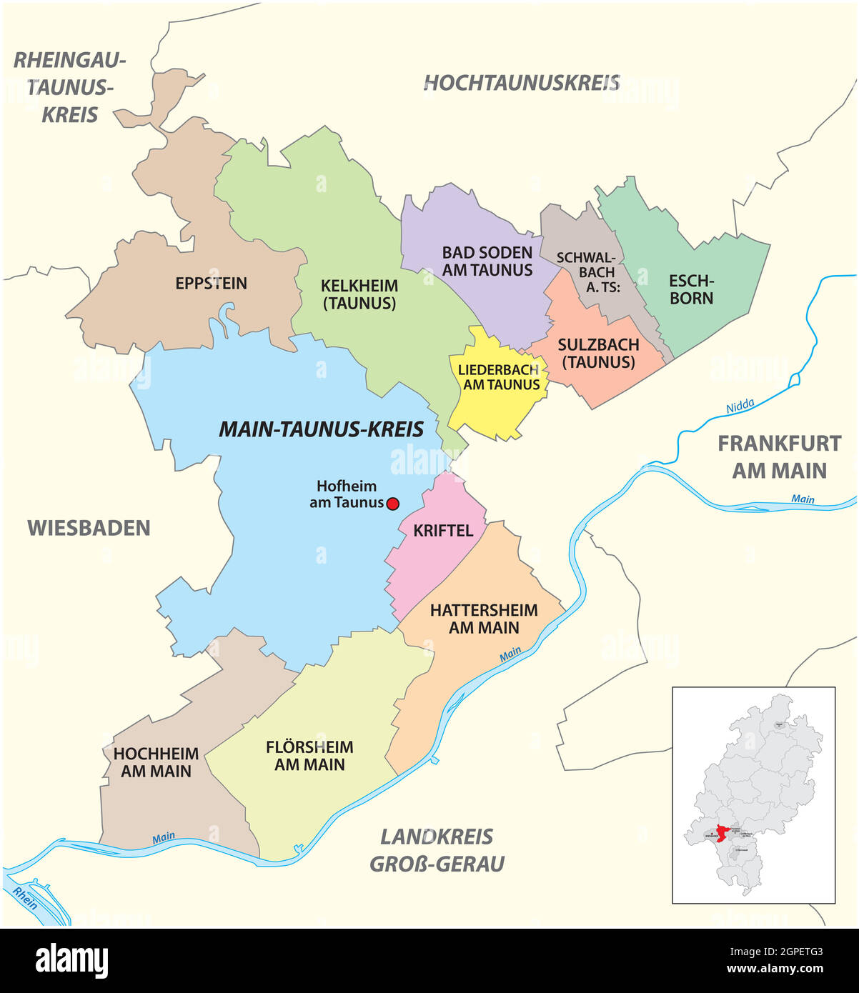 Vector administrative district map Main-Taunus-Kreis, Hesse, Germany Stock Vectorhttps://www.alamy.com/image-license-details/?v=1https://www.alamy.com/vector-administrative-district-map-main-taunus-kreis-hesse-germany-image444108227.html
RF2GPETG3–Vector administrative district map Main-Taunus-Kreis, Hesse, Germany
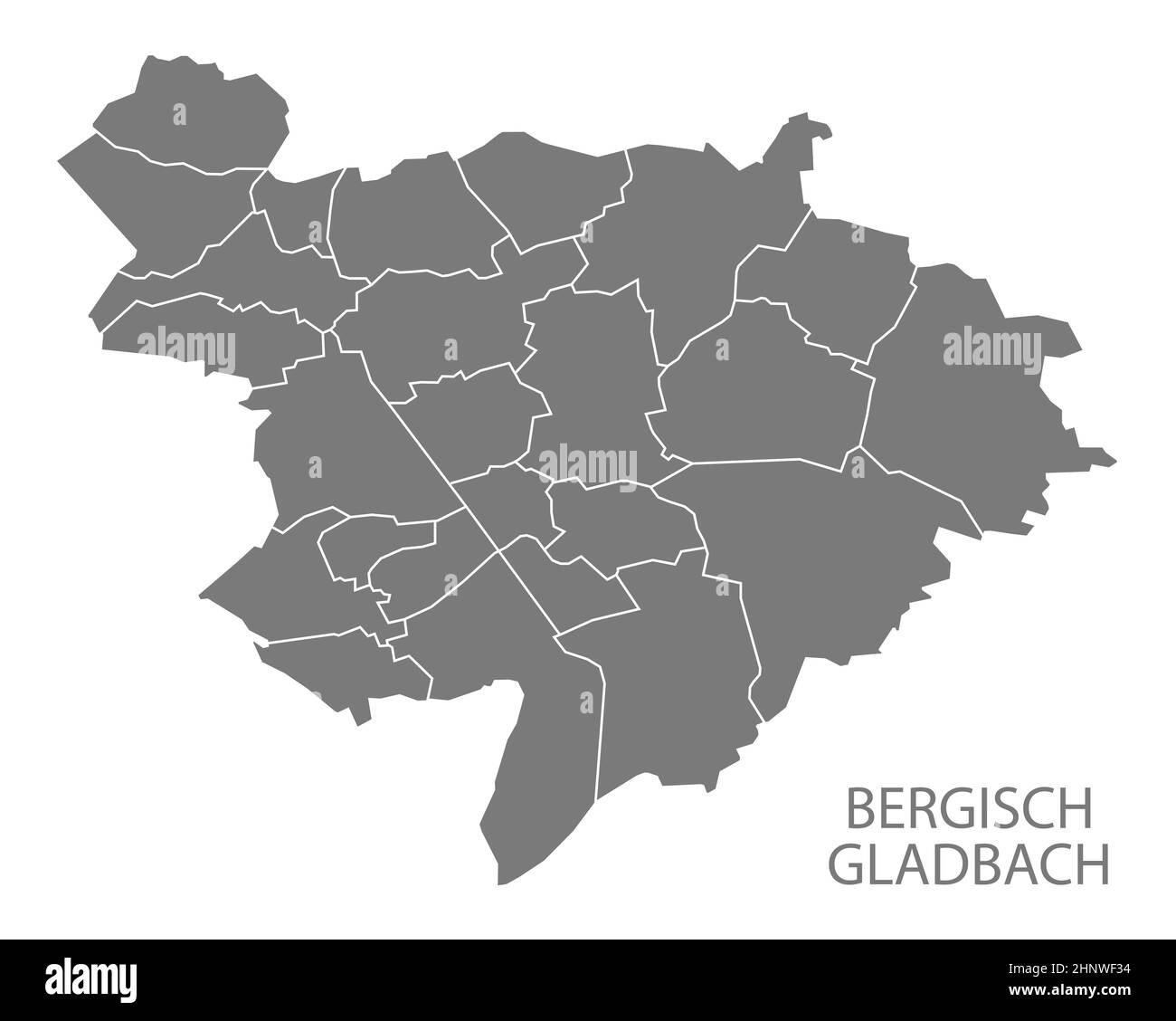 Modern City Map - Bergisch Gladbach city of Germany with districts grey DE Stock Photohttps://www.alamy.com/image-license-details/?v=1https://www.alamy.com/modern-city-map-bergisch-gladbach-city-of-germany-with-districts-grey-de-image460937992.html
RF2HNWF34–Modern City Map - Bergisch Gladbach city of Germany with districts grey DE
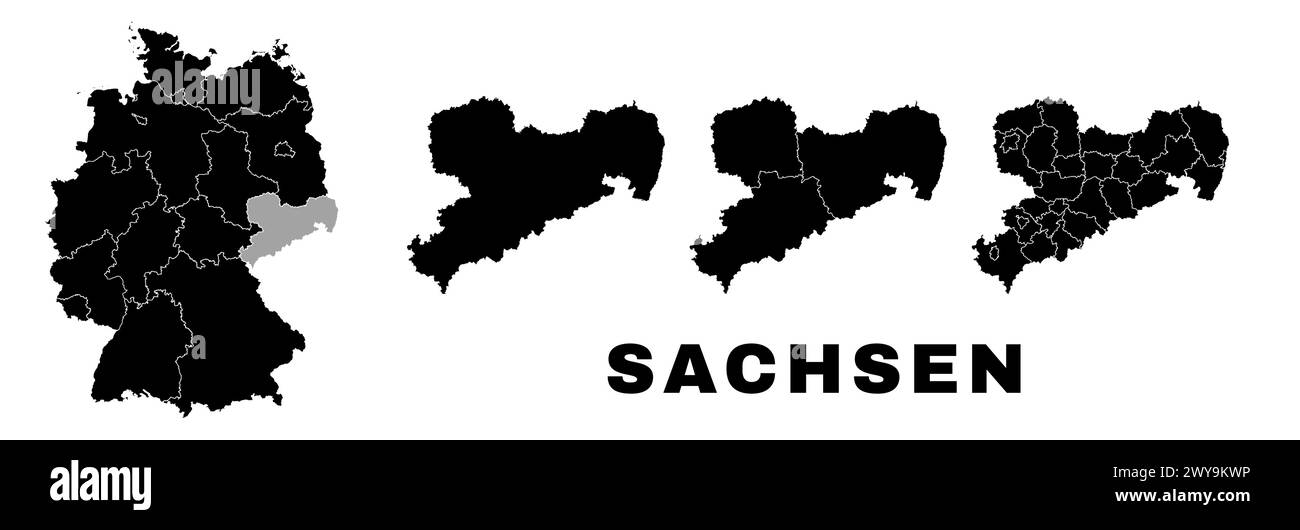 Saxony map, German state. Germany administrative division, regions and boroughs, amt and municipalities. Stock Vectorhttps://www.alamy.com/image-license-details/?v=1https://www.alamy.com/saxony-map-german-state-germany-administrative-division-regions-and-boroughs-amt-and-municipalities-image601961410.html
RF2WY9KWP–Saxony map, German state. Germany administrative division, regions and boroughs, amt and municipalities.
 Germany, a country in Central Europe with capital Berlin, gray political map. Federal Republic of Germany with its 16 constituent states. Stock Photohttps://www.alamy.com/image-license-details/?v=1https://www.alamy.com/germany-a-country-in-central-europe-with-capital-berlin-gray-political-map-federal-republic-of-germany-with-its-16-constituent-states-image621315901.html
RF2Y2RANH–Germany, a country in Central Europe with capital Berlin, gray political map. Federal Republic of Germany with its 16 constituent states.
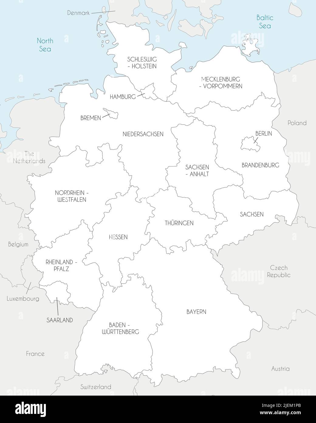 Vector map of Germany with federated states or regions and administrative divisions, and neighbouring countries. Editable and clearly labeled layers. Stock Vectorhttps://www.alamy.com/image-license-details/?v=1https://www.alamy.com/vector-map-of-germany-with-federated-states-or-regions-and-administrative-divisions-and-neighbouring-countries-editable-and-clearly-labeled-layers-image473725571.html
RF2JEM1PB–Vector map of Germany with federated states or regions and administrative divisions, and neighbouring countries. Editable and clearly labeled layers.
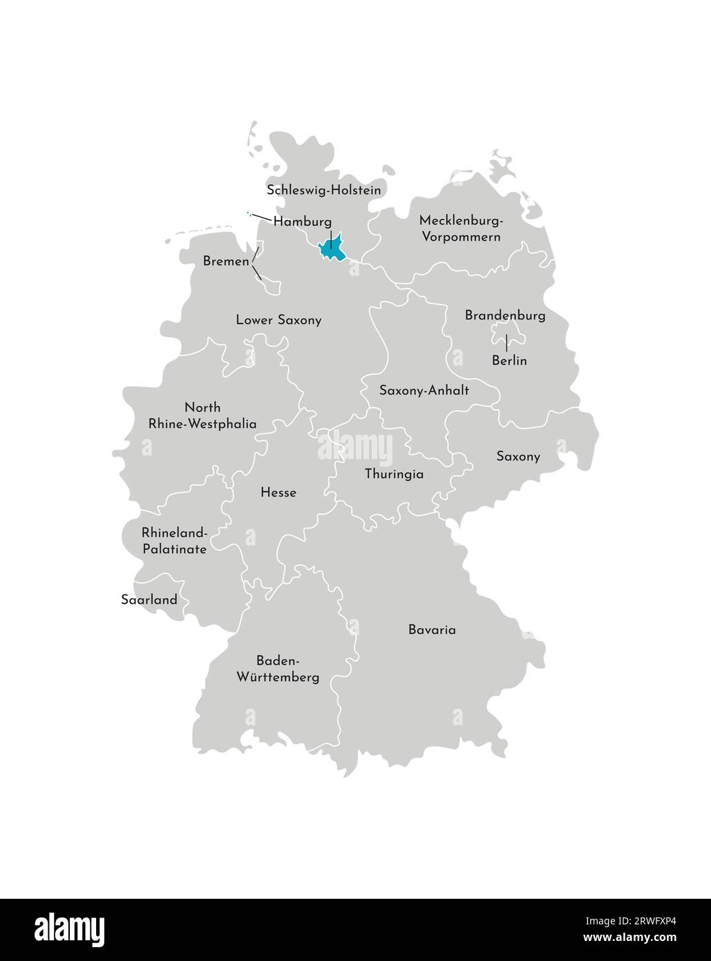 Vector isolated illustration of simplified administrative map of Germany. Blue silhouette of Hamburg (state). Grey silhouettes. White outline Stock Vectorhttps://www.alamy.com/image-license-details/?v=1https://www.alamy.com/vector-isolated-illustration-of-simplified-administrative-map-of-germany-blue-silhouette-of-hamburg-state-grey-silhouettes-white-outline-image566448460.html
RF2RWFXP4–Vector isolated illustration of simplified administrative map of Germany. Blue silhouette of Hamburg (state). Grey silhouettes. White outline
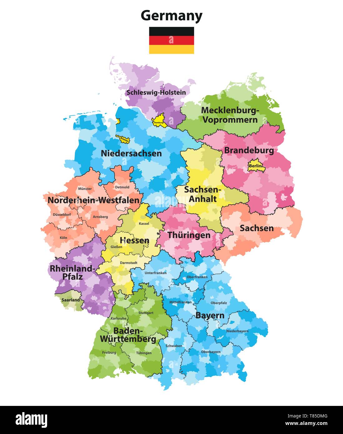 Germany high detailed vector map (colored by states and administrative districts Stock Vectorhttps://www.alamy.com/image-license-details/?v=1https://www.alamy.com/germany-high-detailed-vector-map-colored-by-states-and-administrative-districts-image245982928.html
RFT85DMG–Germany high detailed vector map (colored by states and administrative districts
 Federal state Sachsen population by postal code map with Germany map Stock Photohttps://www.alamy.com/image-license-details/?v=1https://www.alamy.com/federal-state-sachsen-population-by-postal-code-map-with-germany-map-image555674703.html
RF2R814N3–Federal state Sachsen population by postal code map with Germany map
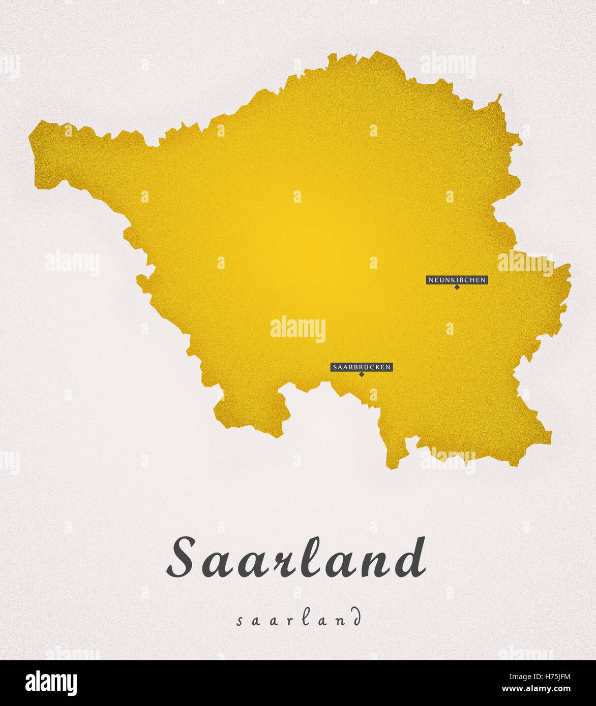 Saarland Germany DE Art Map Stock Photohttps://www.alamy.com/image-license-details/?v=1https://www.alamy.com/stock-photo-saarland-germany-de-art-map-124899480.html
RFH75JFM–Saarland Germany DE Art Map
 Zoom in on Niedersachsen (state of Germany) outlined. Oblique perspective. Colored and bumped map of the administrative division with surface waters. Stock Photohttps://www.alamy.com/image-license-details/?v=1https://www.alamy.com/zoom-in-on-niedersachsen-state-of-germany-outlined-oblique-perspective-colored-and-bumped-map-of-the-administrative-division-with-surface-waters-image364314439.html
RF2C4KXNY–Zoom in on Niedersachsen (state of Germany) outlined. Oblique perspective. Colored and bumped map of the administrative division with surface waters.
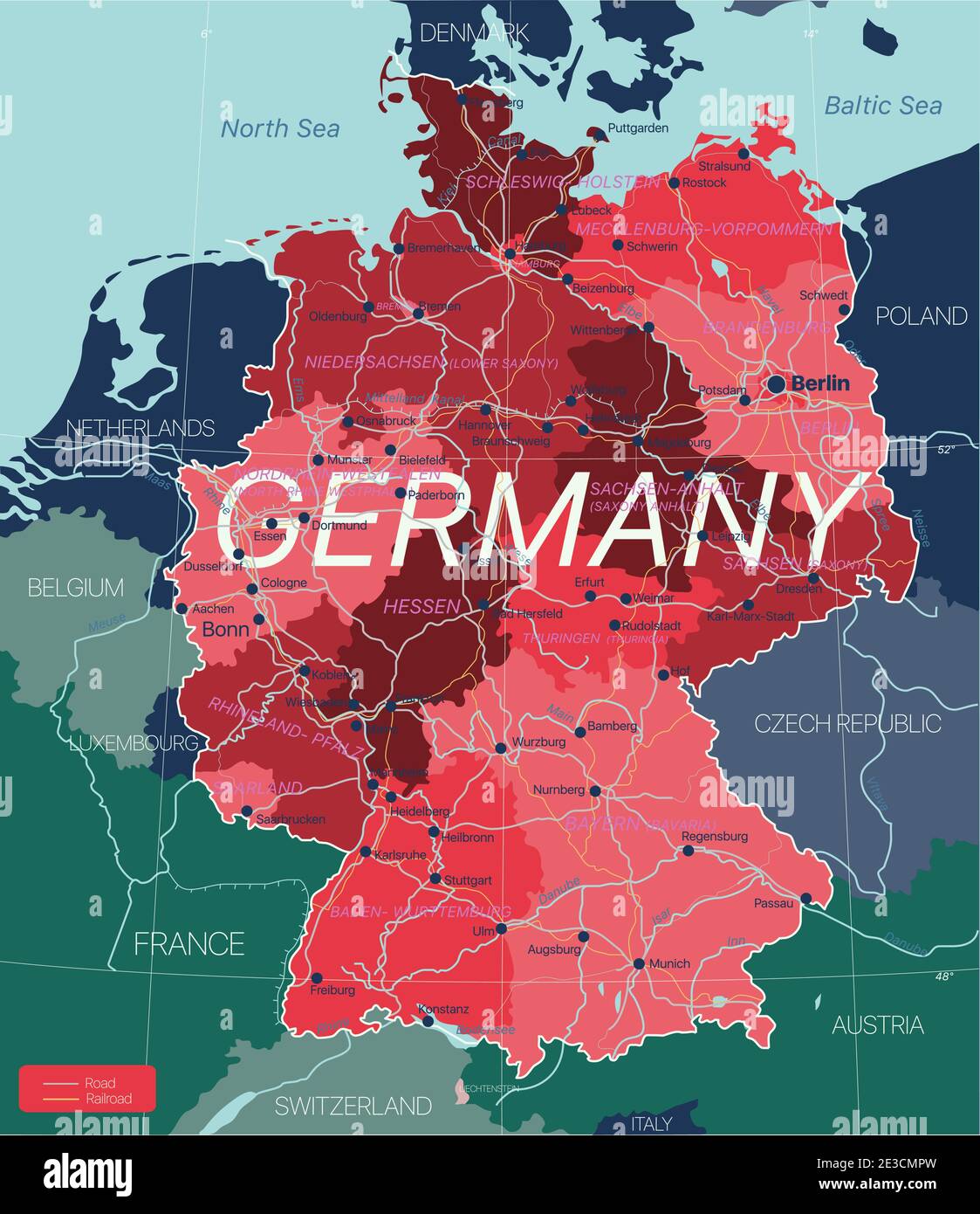 Germany country detailed editable map with regions cities and towns, roads and railways, geographic sites. Vector EPS-10 file Stock Vectorhttps://www.alamy.com/image-license-details/?v=1https://www.alamy.com/germany-country-detailed-editable-map-with-regions-cities-and-towns-roads-and-railways-geographic-sites-vector-eps-10-file-image397962177.html
RF2E3CMPW–Germany country detailed editable map with regions cities and towns, roads and railways, geographic sites. Vector EPS-10 file
 The administrative map of Upper Palatinate region, Germany Stock Vectorhttps://www.alamy.com/image-license-details/?v=1https://www.alamy.com/the-administrative-map-of-upper-palatinate-region-germany-image603599451.html
RF2X20977–The administrative map of Upper Palatinate region, Germany
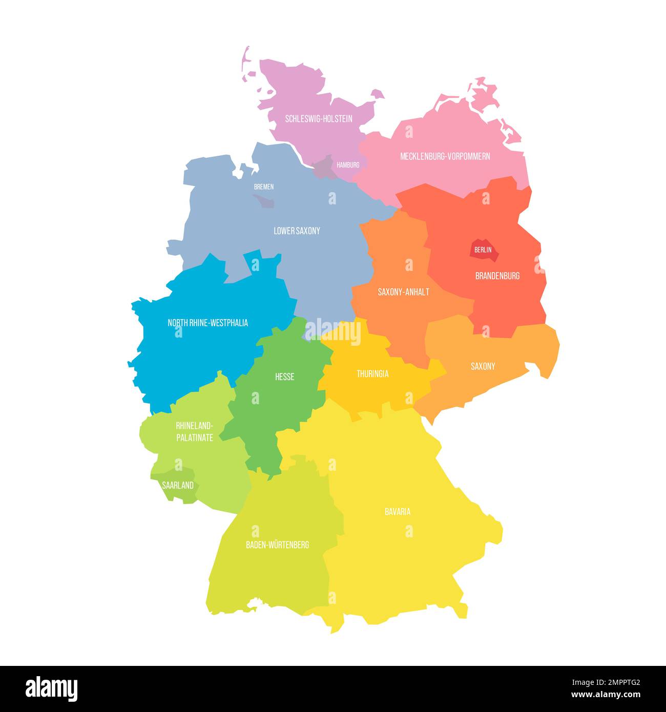 Germany political map of administrative divisions Stock Vectorhttps://www.alamy.com/image-license-details/?v=1https://www.alamy.com/germany-political-map-of-administrative-divisions-image513125314.html
RF2MPPTG2–Germany political map of administrative divisions
 The detailed map of the Germany with regions or states and cities, capitals. Stock Vectorhttps://www.alamy.com/image-license-details/?v=1https://www.alamy.com/the-detailed-map-of-the-germany-with-regions-or-states-and-cities-image154736229.html
RFJYMRHW–The detailed map of the Germany with regions or states and cities, capitals.
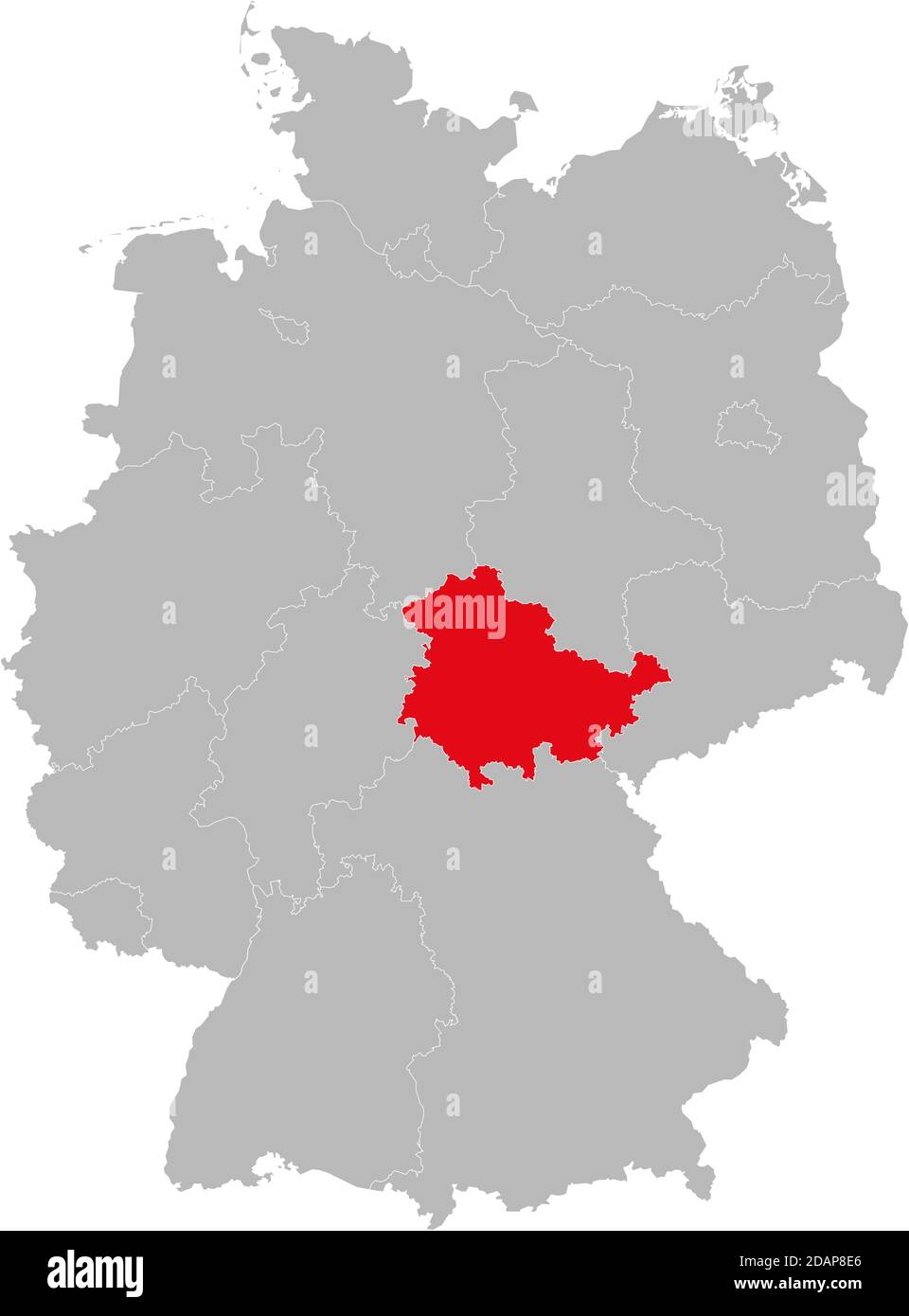 Thuringia state isolated on Germany map. Business concepts and backgrounds. Stock Vectorhttps://www.alamy.com/image-license-details/?v=1https://www.alamy.com/thuringia-state-isolated-on-germany-map-business-concepts-and-backgrounds-image385264270.html
RF2DAP8E6–Thuringia state isolated on Germany map. Business concepts and backgrounds.
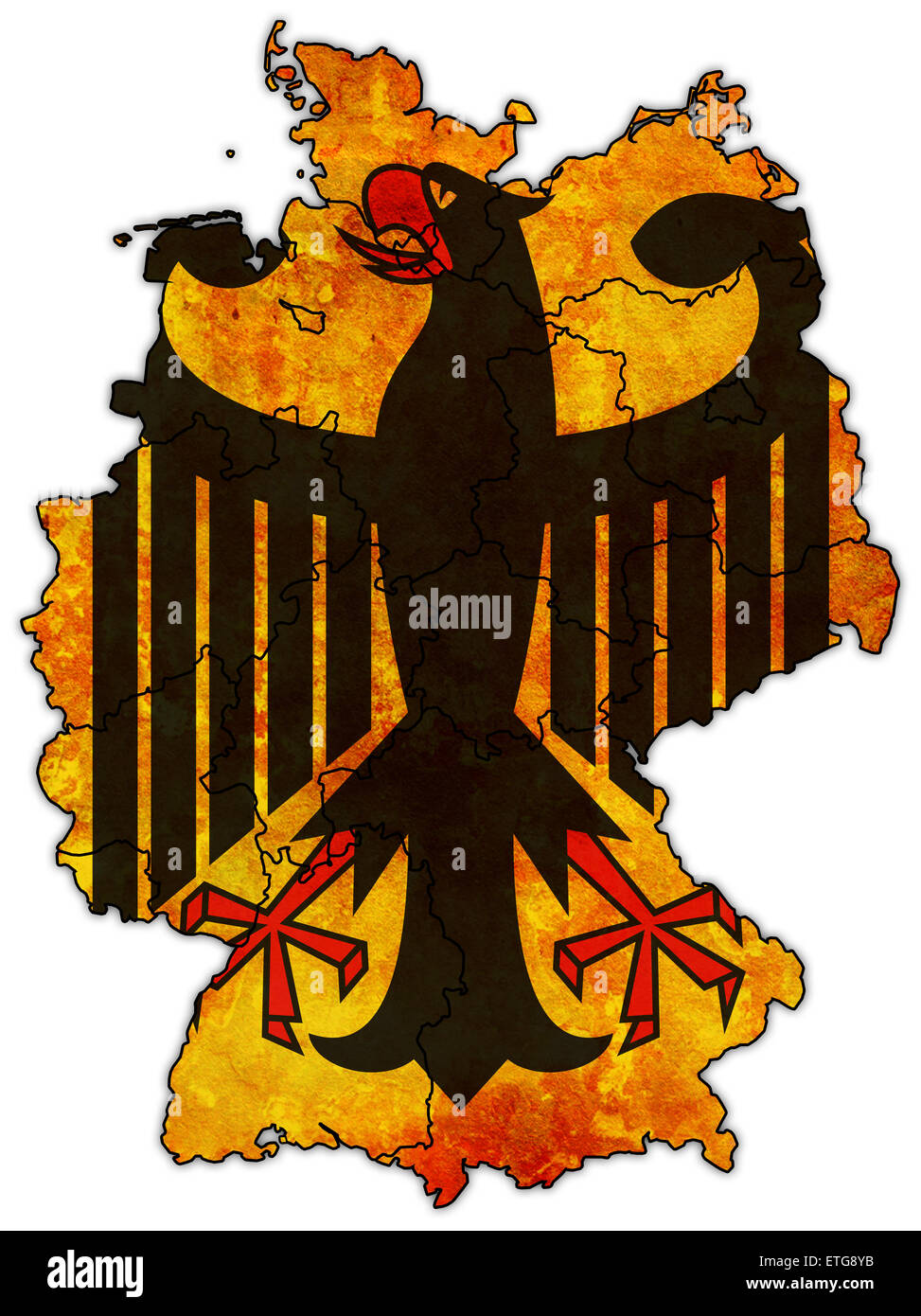 german flag on old administration map of german provinces Stock Photohttps://www.alamy.com/image-license-details/?v=1https://www.alamy.com/stock-photo-german-flag-on-old-administration-map-of-german-provinces-83951487.html
RFETG8YB–german flag on old administration map of german provinces
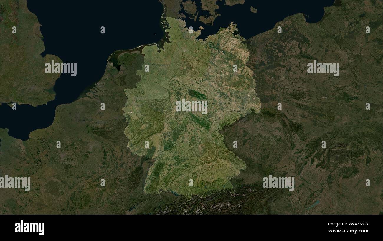 Germany highlighted on a low resolution satellite map Stock Photohttps://www.alamy.com/image-license-details/?v=1https://www.alamy.com/germany-highlighted-on-a-low-resolution-satellite-map-image591436269.html
RF2WA66YW–Germany highlighted on a low resolution satellite map
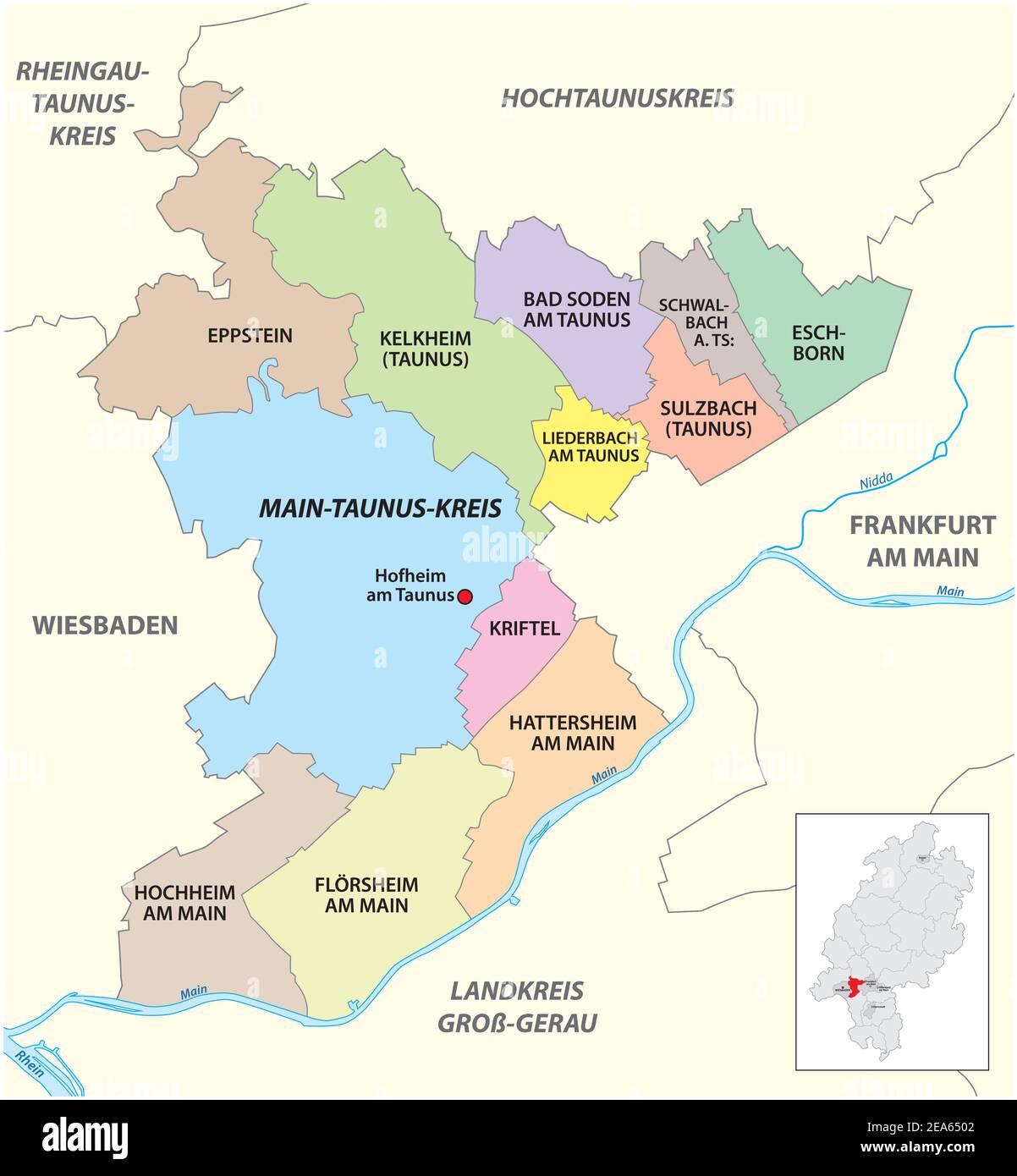 Vector administrative district map Main-Taunus-Kreis, Hesse, Germany Stock Vectorhttps://www.alamy.com/image-license-details/?v=1https://www.alamy.com/vector-administrative-district-map-main-taunus-kreis-hesse-germany-image402120658.html
RF2EA6502–Vector administrative district map Main-Taunus-Kreis, Hesse, Germany
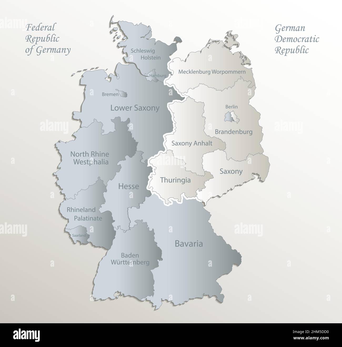 Germany map divided on West and East map, administrative division with names, white blue card paper 3D vector Stock Vectorhttps://www.alamy.com/image-license-details/?v=1https://www.alamy.com/germany-map-divided-on-west-and-east-map-administrative-division-with-names-white-blue-card-paper-3d-vector-image459883004.html
RF2HM5DD0–Germany map divided on West and East map, administrative division with names, white blue card paper 3D vector
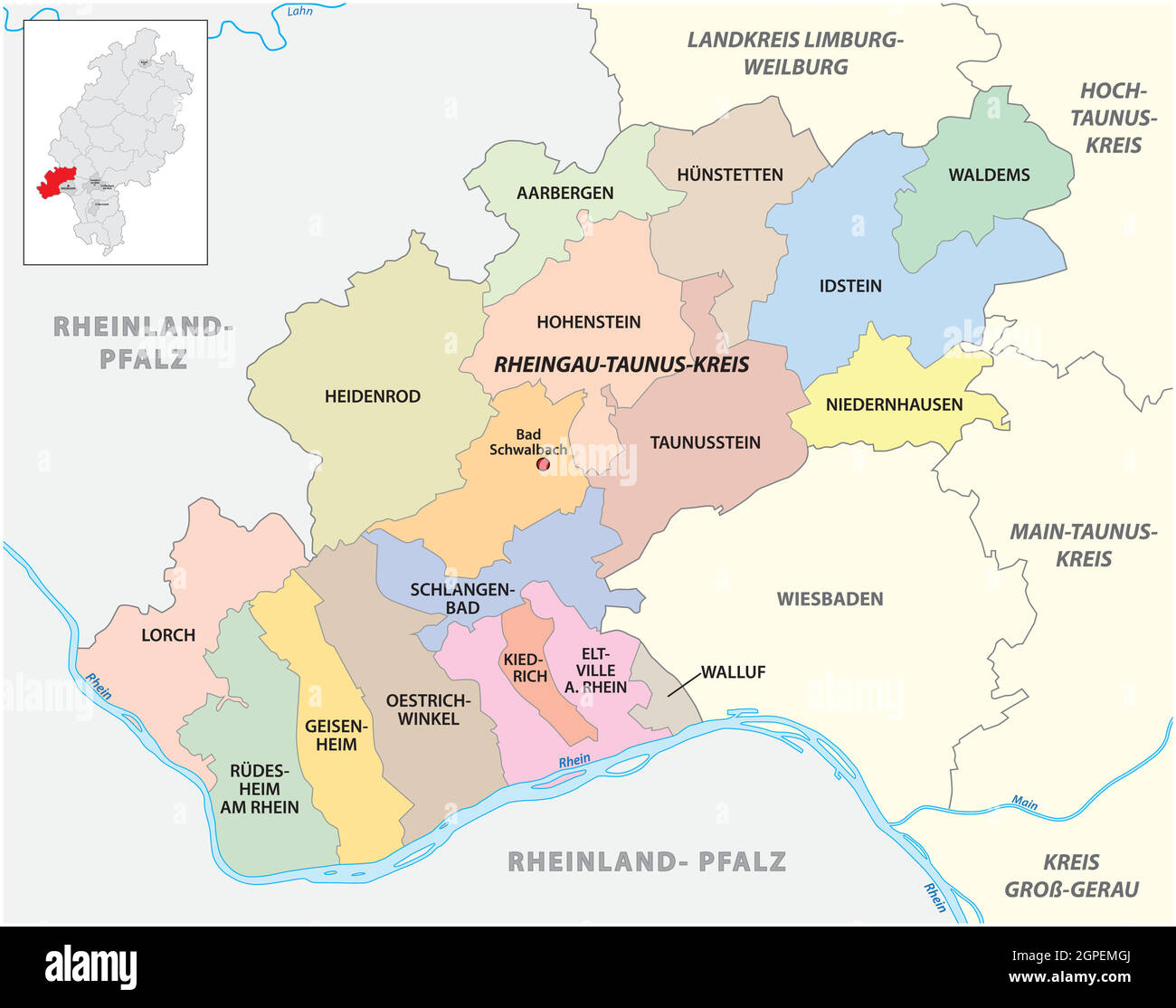 Vector administrative district map Rheingau-Taunus-Kreis, Hesse, Germany Stock Vectorhttps://www.alamy.com/image-license-details/?v=1https://www.alamy.com/vector-administrative-district-map-rheingau-taunus-kreis-hesse-germany-image444105106.html
RF2GPEMGJ–Vector administrative district map Rheingau-Taunus-Kreis, Hesse, Germany
