Quick filters:
Adriatic map Stock Photos and Images
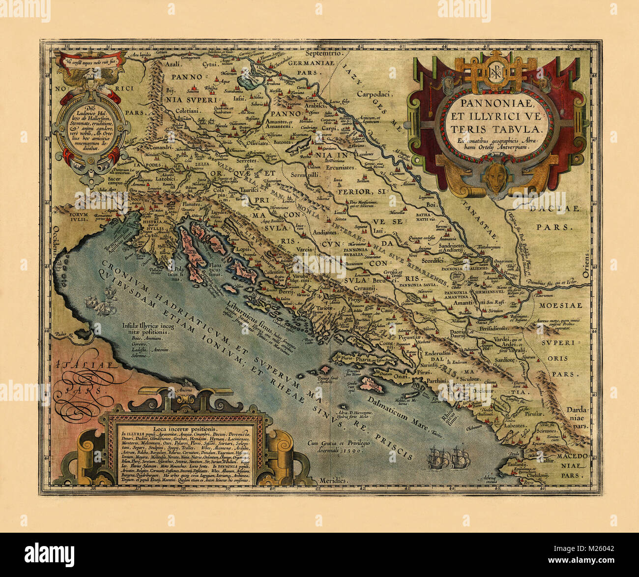 Historical map of the Adriatic Sea circa 1590. Stock Photohttps://www.alamy.com/image-license-details/?v=1https://www.alamy.com/stock-photo-historical-map-of-the-adriatic-sea-circa-1590-173464818.html
RFM26042–Historical map of the Adriatic Sea circa 1590.
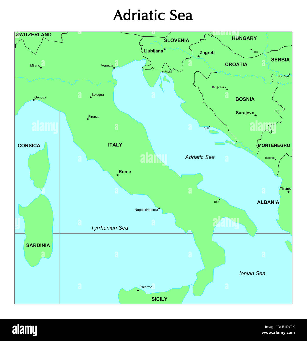 Adriatic Sea map Stock Photohttps://www.alamy.com/image-license-details/?v=1https://www.alamy.com/stock-photo-adriatic-sea-map-18131839.html
RFB1DY9K–Adriatic Sea map
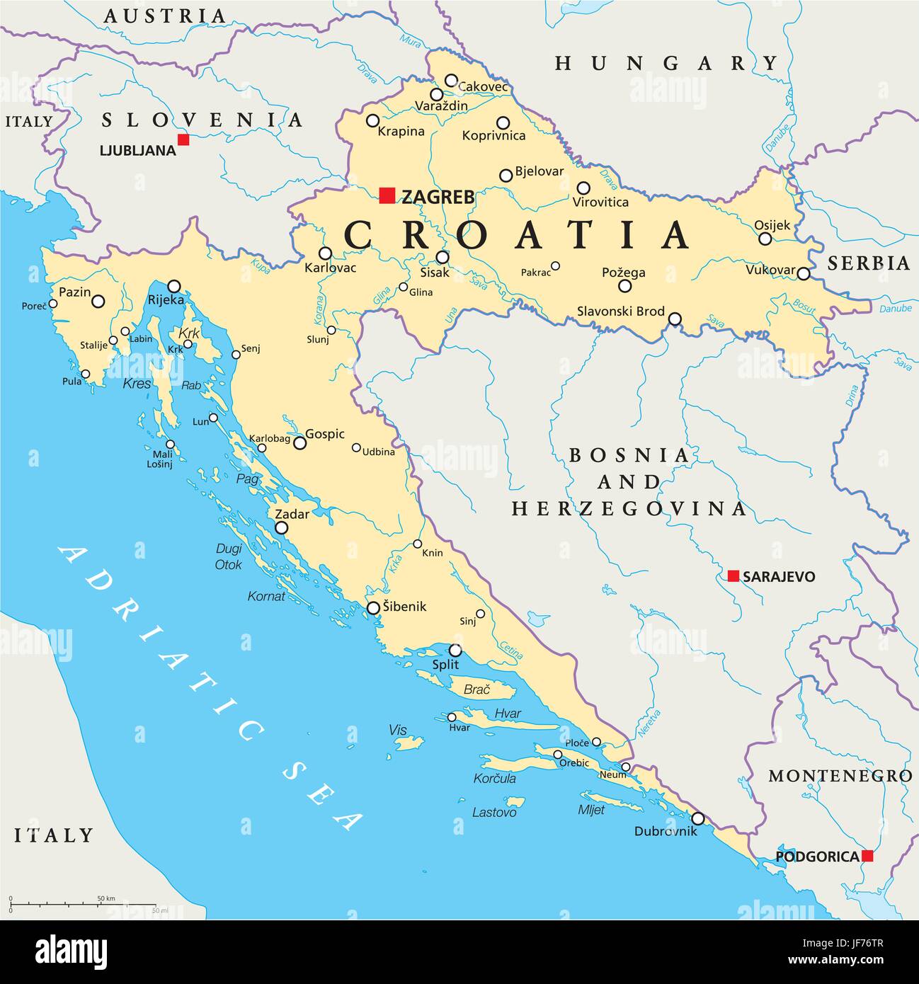 croatia, map, atlas, map of the world, split, europe, danube, adriatic sea, Stock Vectorhttps://www.alamy.com/image-license-details/?v=1https://www.alamy.com/stock-photo-croatia-map-atlas-map-of-the-world-split-europe-danube-adriatic-sea-147061847.html
RFJF76TR–croatia, map, atlas, map of the world, split, europe, danube, adriatic sea,
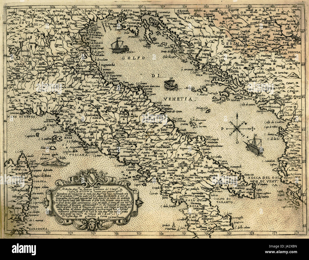 Map of Italy and the eastern coast of the Adriatic Sea Camocio Giovanni Francesco 1574 Stock Photohttps://www.alamy.com/image-license-details/?v=1https://www.alamy.com/stock-photo-map-of-italy-and-the-eastern-coast-of-the-adriatic-sea-camocio-giovanni-140206185.html
RMJ42XBN–Map of Italy and the eastern coast of the Adriatic Sea Camocio Giovanni Francesco 1574
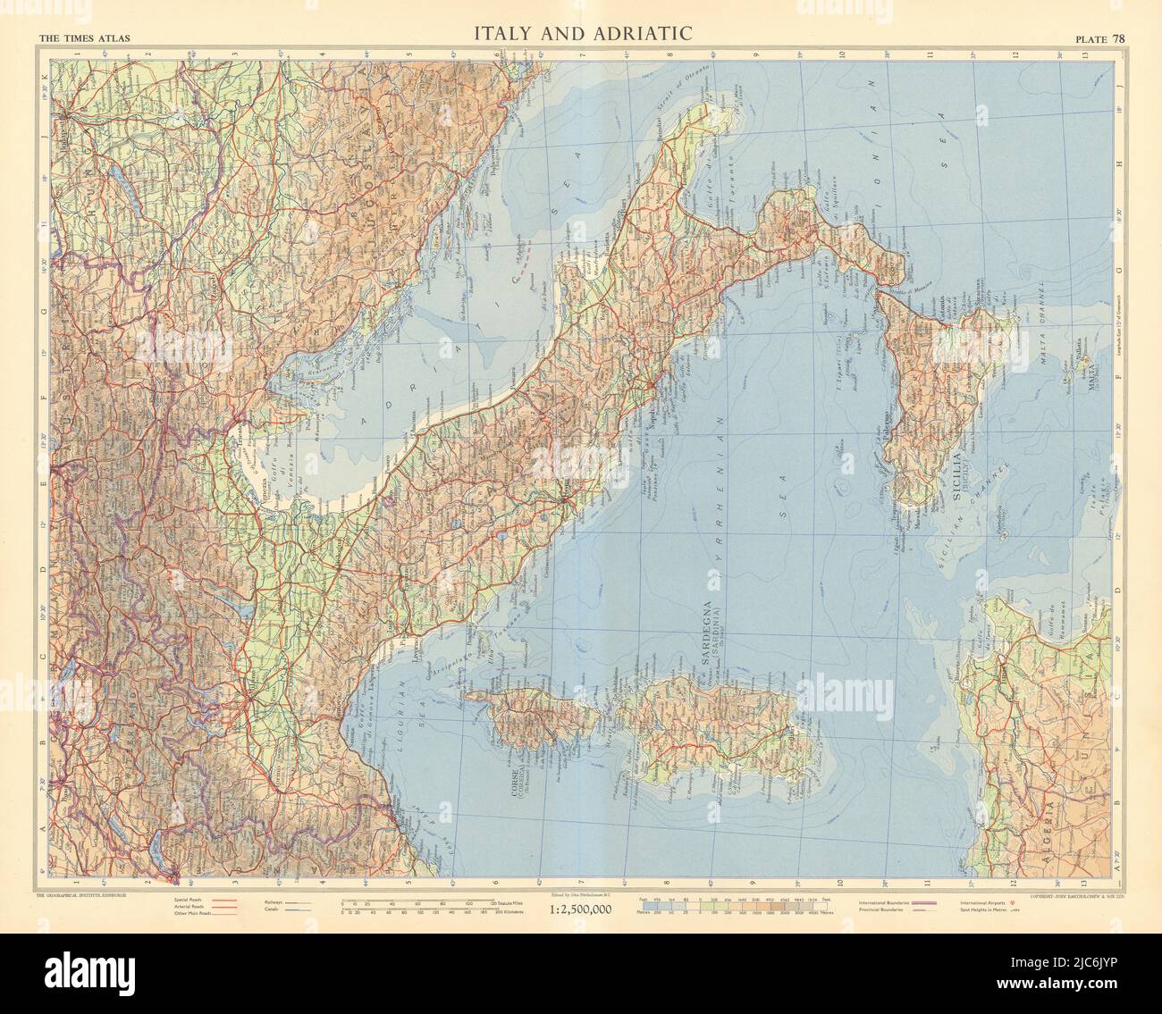 Italy and the Adriatic. Road network. Autostrade. TIMES 1956 old vintage map Stock Photohttps://www.alamy.com/image-license-details/?v=1https://www.alamy.com/italy-and-the-adriatic-road-network-autostrade-times-1956-old-vintage-map-image472202410.html
RF2JC6JYP–Italy and the Adriatic. Road network. Autostrade. TIMES 1956 old vintage map
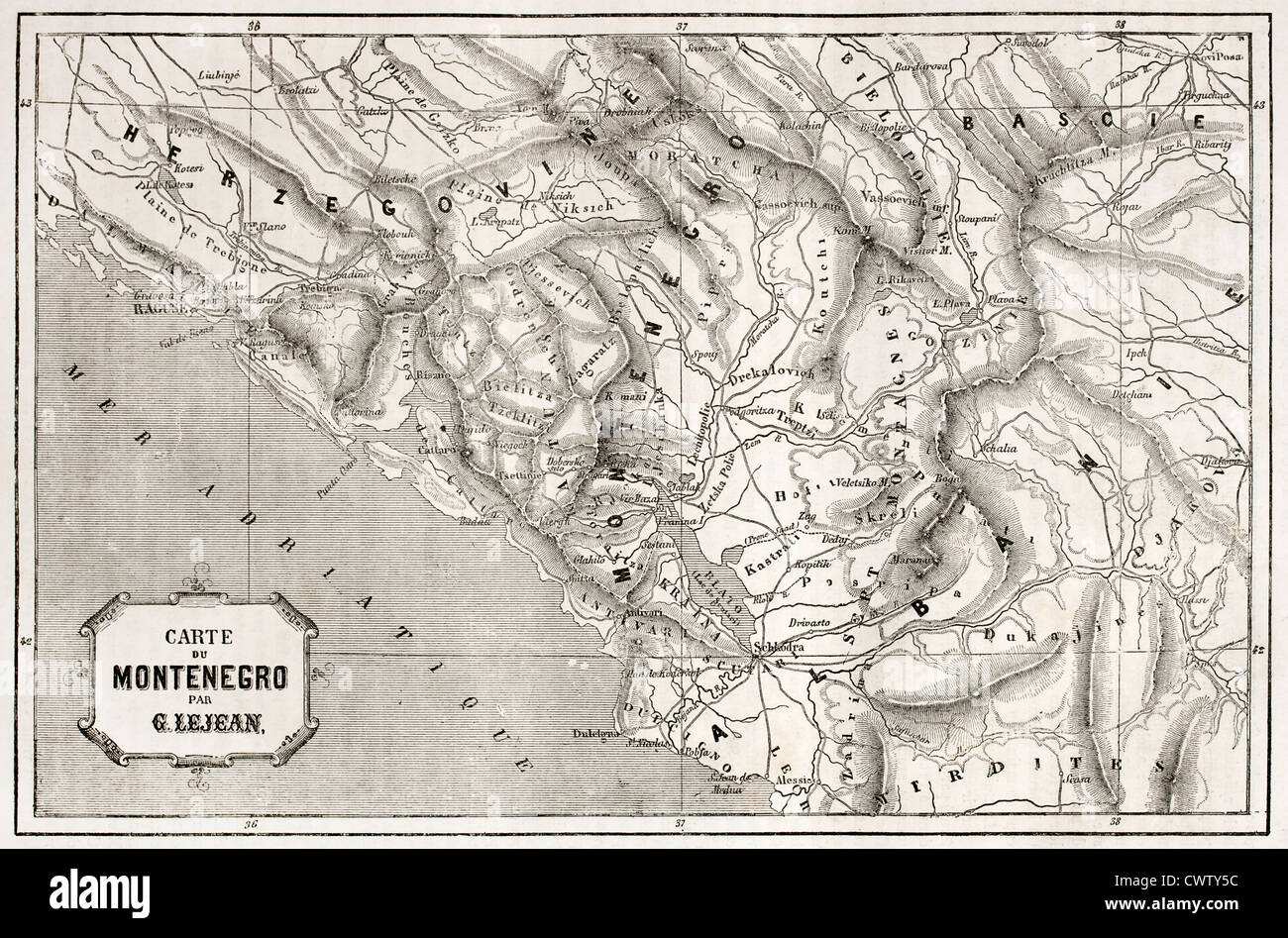 Old map of Montenegro Stock Photohttps://www.alamy.com/image-license-details/?v=1https://www.alamy.com/stock-photo-old-map-of-montenegro-50335304.html
RFCWTY5C–Old map of Montenegro
 N/A. English: Map of the Adriatic Sea, from the tenth sheet of the 1318 atlas of Genoese cartographer Pietro Vesconte, held (MS 594) by the Österreichische Nationalbibliothek in Vienna, Austria . 1318. Pietro Vesconte 63 Adriatic map in Vesconte 1318 atlas Stock Photohttps://www.alamy.com/image-license-details/?v=1https://www.alamy.com/na-english-map-of-the-adriatic-sea-from-the-tenth-sheet-of-the-1318-atlas-of-genoese-cartographer-pietro-vesconte-held-ms-594-by-the-sterreichische-nationalbibliothek-in-vienna-austria-1318-pietro-vesconte-63-adriatic-map-in-vesconte-1318-atlas-image210158547.html
RMP5WFAB–N/A. English: Map of the Adriatic Sea, from the tenth sheet of the 1318 atlas of Genoese cartographer Pietro Vesconte, held (MS 594) by the Österreichische Nationalbibliothek in Vienna, Austria . 1318. Pietro Vesconte 63 Adriatic map in Vesconte 1318 atlas
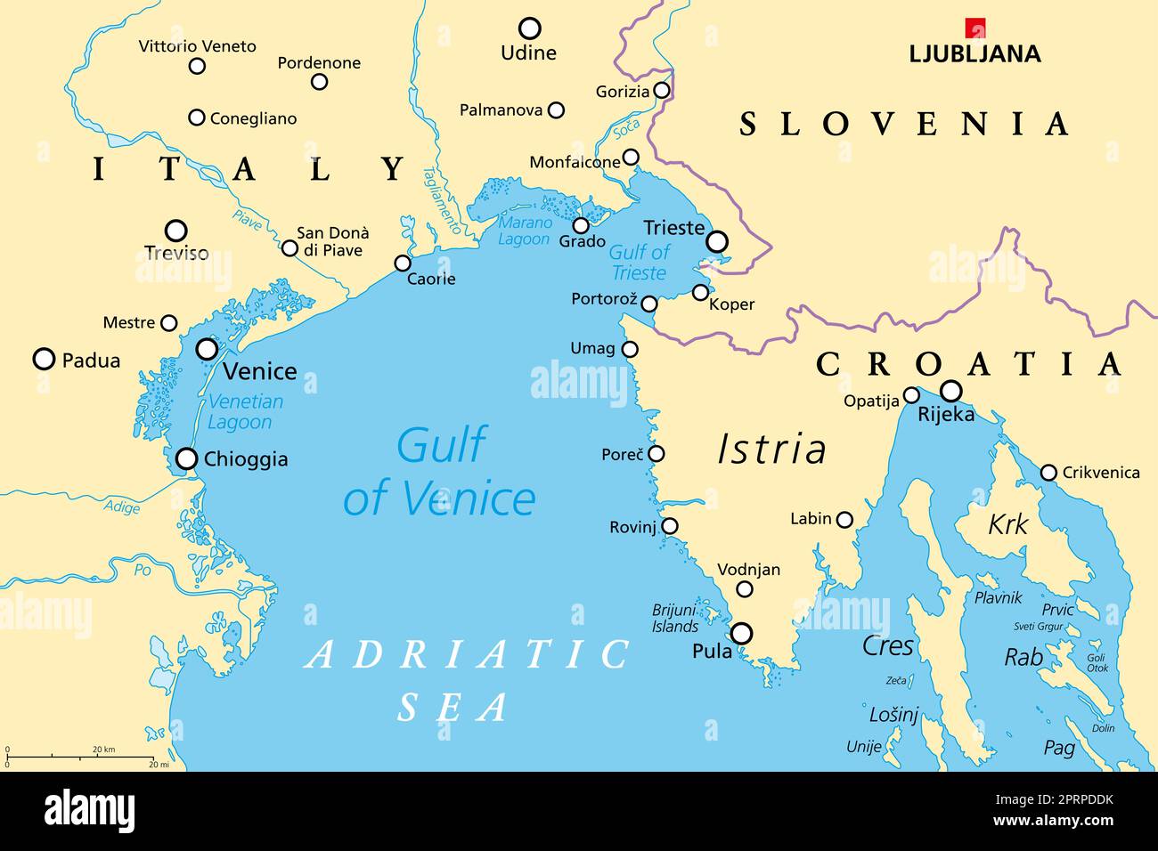 Gulf of Venice, political map. Limited by the Po Delta in Italy and the Istrian Peninsula in Croatia, also bordered by Slovenia. Adriatic Sea. Stock Photohttps://www.alamy.com/image-license-details/?v=1https://www.alamy.com/gulf-of-venice-political-map-limited-by-the-po-delta-in-italy-and-the-istrian-peninsula-in-croatia-also-bordered-by-slovenia-adriatic-sea-image548152015.html
RF2PRPDDK–Gulf of Venice, political map. Limited by the Po Delta in Italy and the Istrian Peninsula in Croatia, also bordered by Slovenia. Adriatic Sea.
 Adriatic map in Vesconte 1318 atlas. Stock Photohttps://www.alamy.com/image-license-details/?v=1https://www.alamy.com/adriatic-map-in-vesconte-1318-atlas-image213988649.html
RMPC40KN–Adriatic map in Vesconte 1318 atlas.
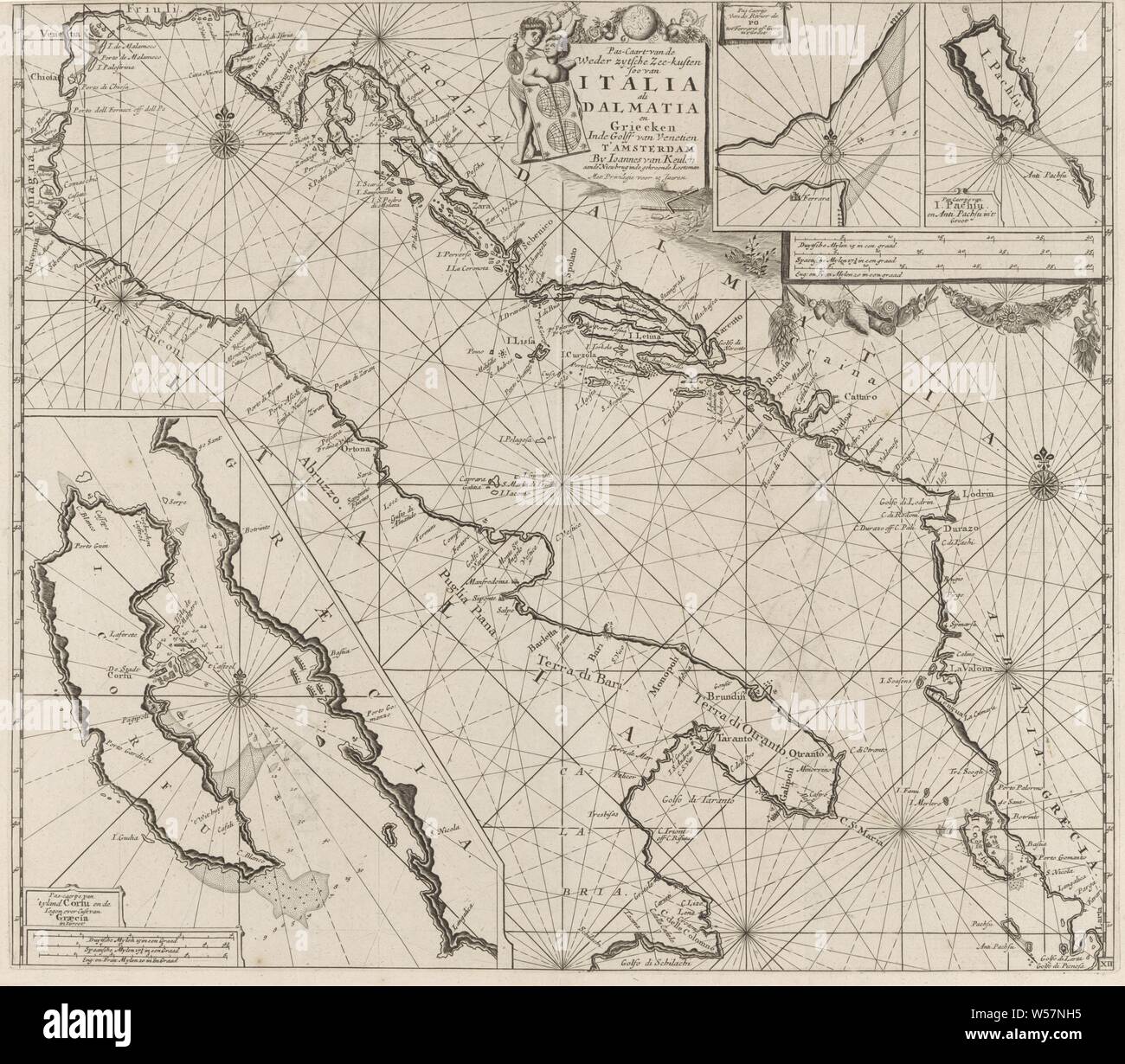 Map of the coasts of the Adriatic Sea Pas-Caart of the Weder zytsche Sea coasts of Soo from Italia as Dalmatia and Griecken In the Golff of Venetien (title on object), Map from the coasts of the Adriatic Sea, three betting cards, bottom left one from Corfu and top right one from the mouth of the river Po and one from the Ionian island of Paxoi. With five compass roses, the North is above. At the top center two putti with a nautical chart with the title and address of the publisher. Top right and bottom left the scale, shown in German, Spanish and English or French miles, maps, atlases, cupids Stock Photohttps://www.alamy.com/image-license-details/?v=1https://www.alamy.com/map-of-the-coasts-of-the-adriatic-sea-pas-caart-of-the-weder-zytsche-sea-coasts-of-soo-from-italia-as-dalmatia-and-griecken-in-the-golff-of-venetien-title-on-object-map-from-the-coasts-of-the-adriatic-sea-three-betting-cards-bottom-left-one-from-corfu-and-top-right-one-from-the-mouth-of-the-river-po-and-one-from-the-ionian-island-of-paxoi-with-five-compass-roses-the-north-is-above-at-the-top-center-two-putti-with-a-nautical-chart-with-the-title-and-address-of-the-publisher-top-right-and-bottom-left-the-scale-shown-in-german-spanish-and-english-or-french-miles-maps-atlases-cupids-image261399409.html
RMW57NH5–Map of the coasts of the Adriatic Sea Pas-Caart of the Weder zytsche Sea coasts of Soo from Italia as Dalmatia and Griecken In the Golff of Venetien (title on object), Map from the coasts of the Adriatic Sea, three betting cards, bottom left one from Corfu and top right one from the mouth of the river Po and one from the Ionian island of Paxoi. With five compass roses, the North is above. At the top center two putti with a nautical chart with the title and address of the publisher. Top right and bottom left the scale, shown in German, Spanish and English or French miles, maps, atlases, cupids
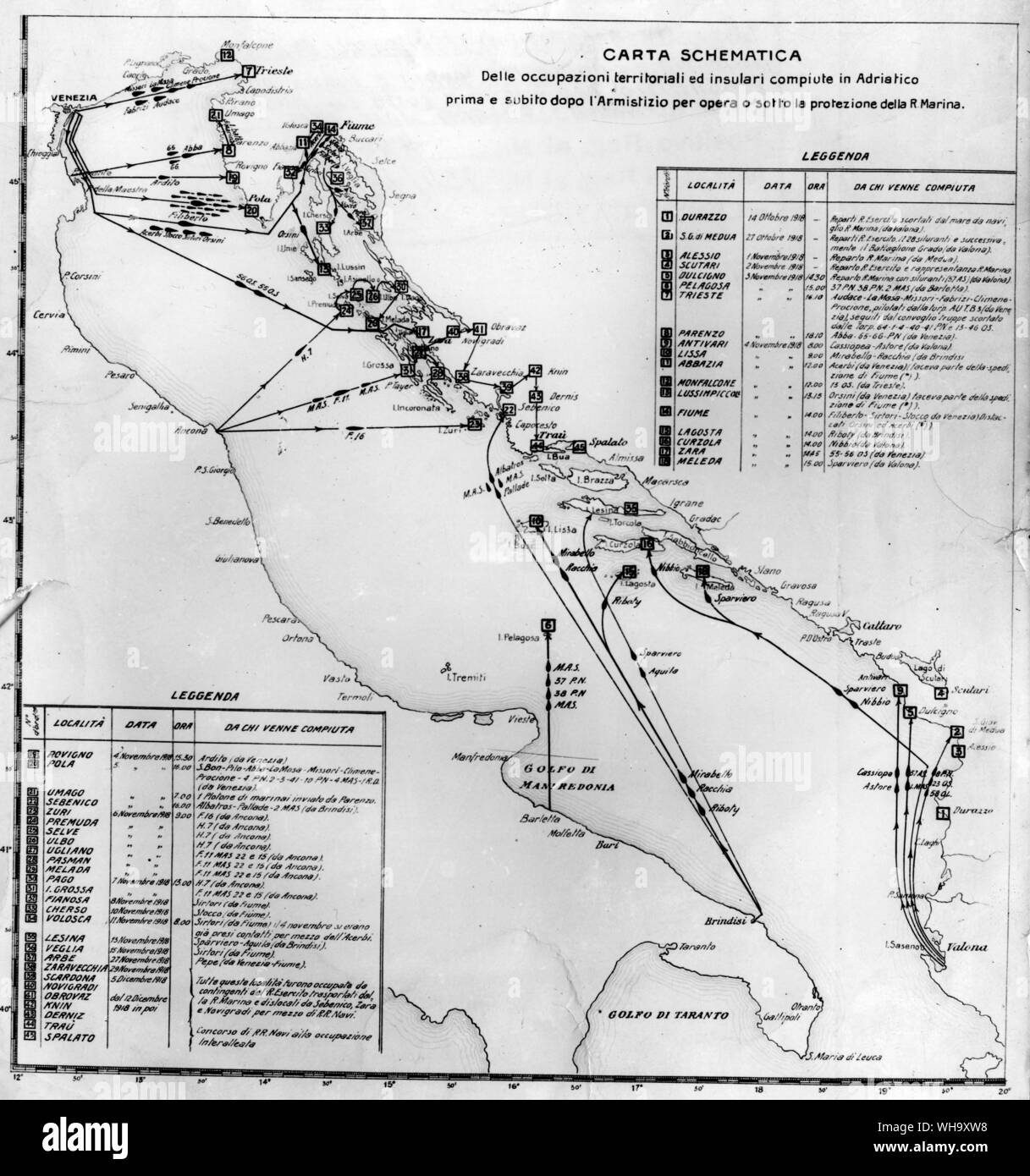 WW1: Map of the occupation of the Adriatic Sea. 1915. Stock Photohttps://www.alamy.com/image-license-details/?v=1https://www.alamy.com/ww1-map-of-the-occupation-of-the-adriatic-sea-1915-image268823332.html
RMWH9XW8–WW1: Map of the occupation of the Adriatic Sea. 1915.
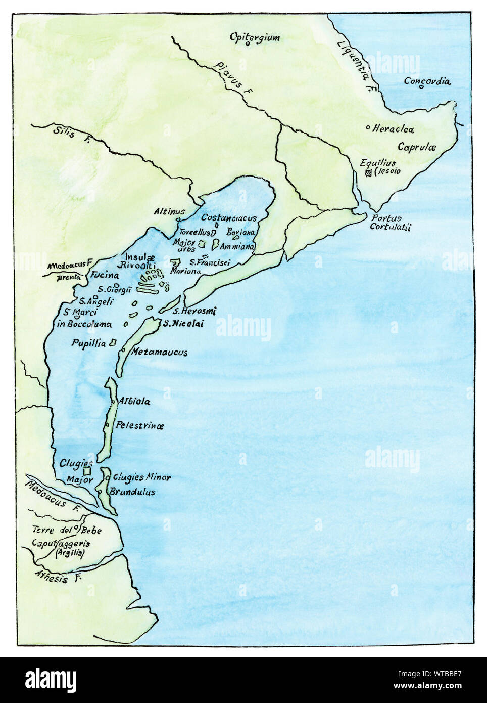 Map showing the lagoons of Venice, circa 1890. Hand-colored woodcut Stock Photohttps://www.alamy.com/image-license-details/?v=1https://www.alamy.com/map-showing-the-lagoons-of-venice-circa-1890-hand-colored-woodcut-image273157759.html
RMWTBBE7–Map showing the lagoons of Venice, circa 1890. Hand-colored woodcut
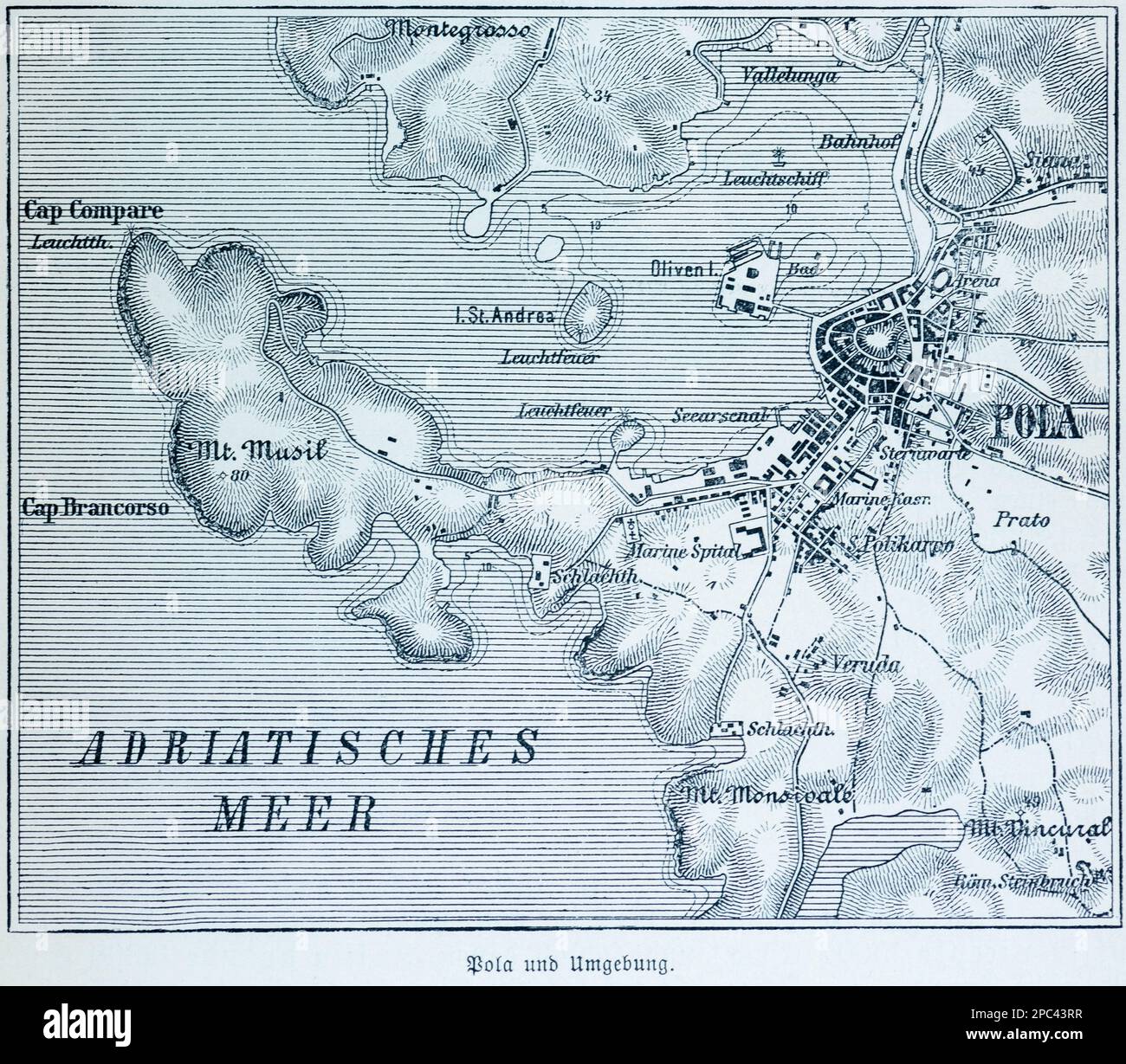 City map of Pola, today Pula and its surroundings, Pula, Adriatic Sea, Croatia, Southern Europe Stock Photohttps://www.alamy.com/image-license-details/?v=1https://www.alamy.com/city-map-of-pola-today-pula-and-its-surroundings-pula-adriatic-sea-croatia-southern-europe-image540988107.html
RM2PC43RR–City map of Pola, today Pula and its surroundings, Pula, Adriatic Sea, Croatia, Southern Europe
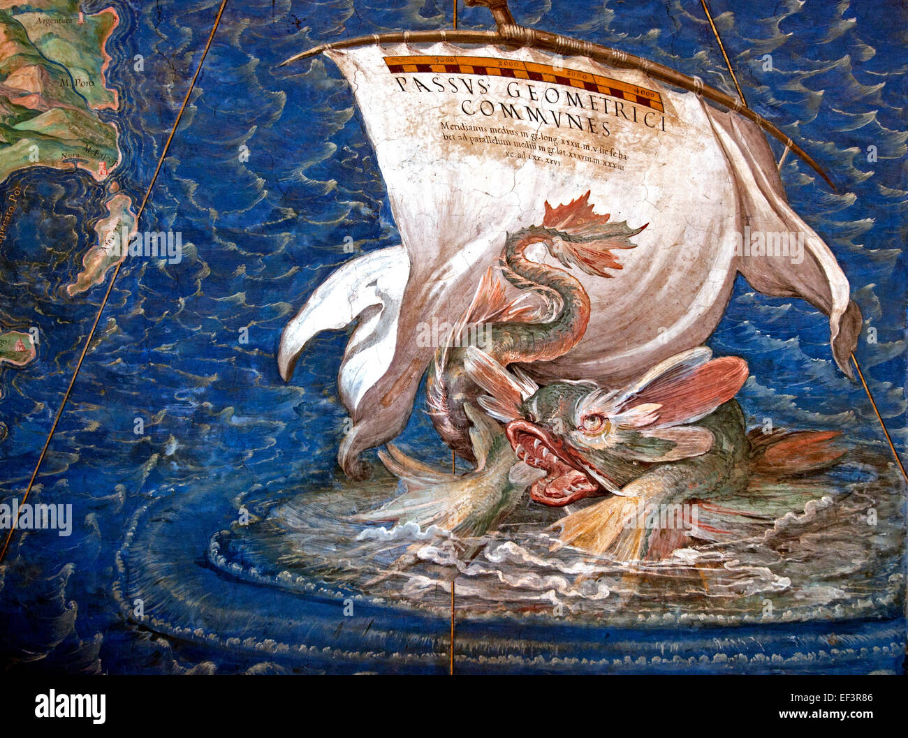 A galleon in the Adriatic, detail from the 'Galleria delle Carte Geografiche', 1580-83 Danti, Egnazio (1536-86) Vatican Rome Italy Geographic maps Stock Photohttps://www.alamy.com/image-license-details/?v=1https://www.alamy.com/stock-photo-a-galleon-in-the-adriatic-detail-from-the-galleria-delle-carte-geografiche-78145430.html
RMEF3R86–A galleon in the Adriatic, detail from the 'Galleria delle Carte Geografiche', 1580-83 Danti, Egnazio (1536-86) Vatican Rome Italy Geographic maps
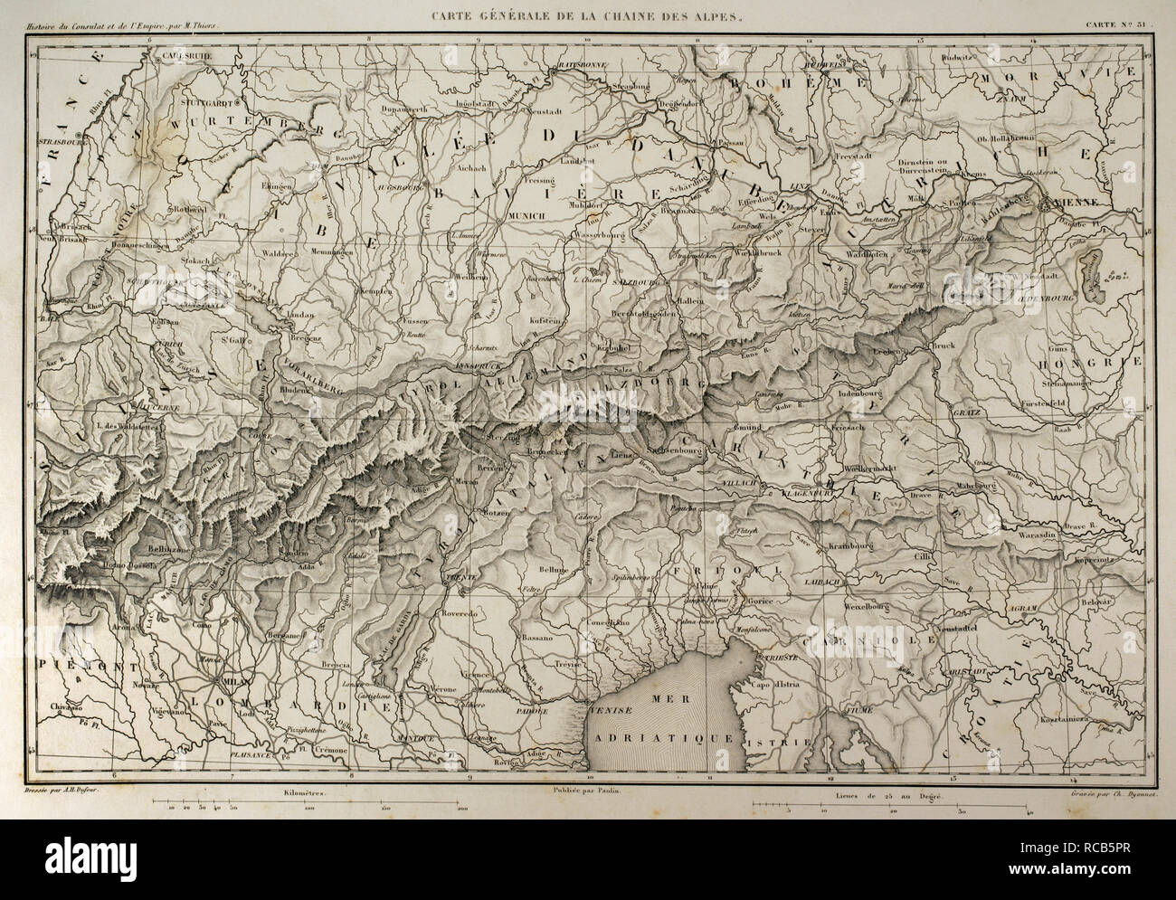 Map of mountain range of the Alps. Atlas de l'Histoire du Consulat et de l'Empire. History of the Consulate and the Empire of France under Napoleon by Marie Joseph Louis Adolphe Thiers (1797-1877). Drawings by Dufour, engravings by Dyonnet. Edited in Paris, 1864. Stock Photohttps://www.alamy.com/image-license-details/?v=1https://www.alamy.com/map-of-mountain-range-of-the-alps-atlas-de-lhistoire-du-consulat-et-de-lempire-history-of-the-consulate-and-the-empire-of-france-under-napoleon-by-marie-joseph-louis-adolphe-thiers-1797-1877-drawings-by-dufour-engravings-by-dyonnet-edited-in-paris-1864-image231356687.html
RMRCB5PR–Map of mountain range of the Alps. Atlas de l'Histoire du Consulat et de l'Empire. History of the Consulate and the Empire of France under Napoleon by Marie Joseph Louis Adolphe Thiers (1797-1877). Drawings by Dufour, engravings by Dyonnet. Edited in Paris, 1864.
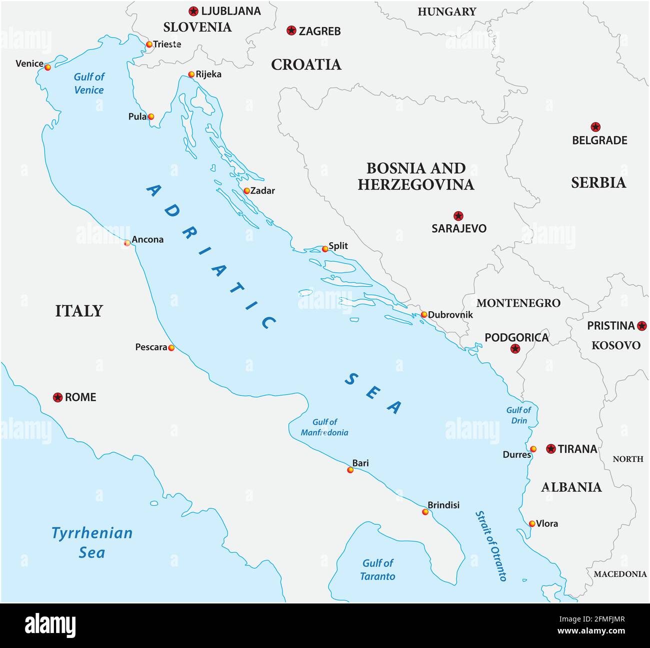 vector map of the adriatic sea with its neighboring countries Stock Vectorhttps://www.alamy.com/image-license-details/?v=1https://www.alamy.com/vector-map-of-the-adriatic-sea-with-its-neighboring-countries-image425685927.html
RF2FMFJMR–vector map of the adriatic sea with its neighboring countries
 Contour map of the Eastern Theatre of Italian campaign, WW1 Stock Photohttps://www.alamy.com/image-license-details/?v=1https://www.alamy.com/contour-map-of-the-eastern-theatre-of-italian-campaign-ww1-image155552324.html
RMK120G4–Contour map of the Eastern Theatre of Italian campaign, WW1
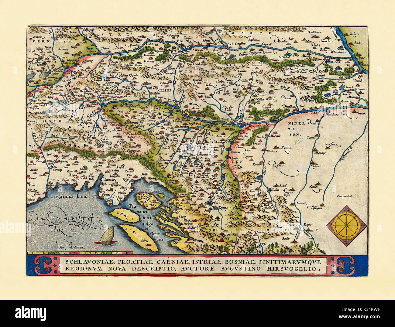 Old map of Slovenia. Excellent state of preservation realized in ancient style. All the graphic composition is inside a frame. By Ortelius, Theatrum Orbis Terrarum, Antwerp, 1570 Stock Photohttps://www.alamy.com/image-license-details/?v=1https://www.alamy.com/old-map-of-slovenia-excellent-state-of-preservation-realized-in-ancient-image156840699.html
RFK34KWF–Old map of Slovenia. Excellent state of preservation realized in ancient style. All the graphic composition is inside a frame. By Ortelius, Theatrum Orbis Terrarum, Antwerp, 1570
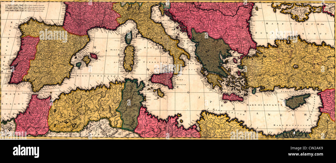 Map of the Mediterranean Sea with Italy, France, Algeria, Egypt, Spain and the Adriatic Sea, circa 1695 Stock Photohttps://www.alamy.com/image-license-details/?v=1https://www.alamy.com/stock-photo-map-of-the-mediterranean-sea-with-italy-france-algeria-egypt-spain-49839421.html
RMCW2AK9–Map of the Mediterranean Sea with Italy, France, Algeria, Egypt, Spain and the Adriatic Sea, circa 1695
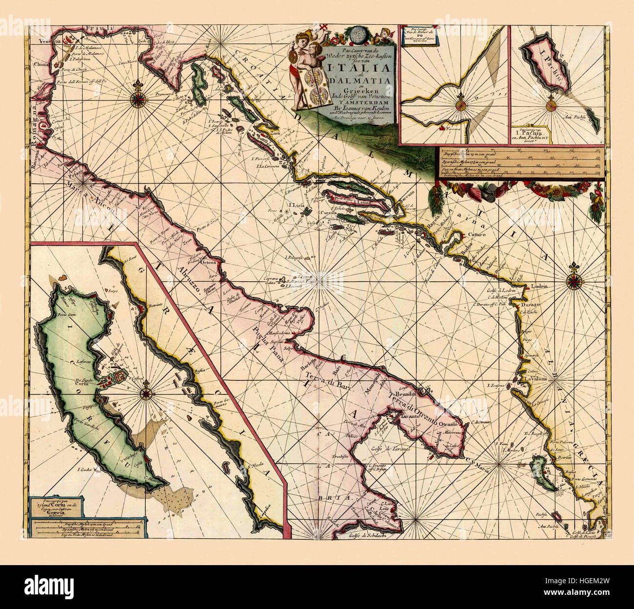 Map Of The Adriatic Sea 1700 Stock Photohttps://www.alamy.com/image-license-details/?v=1https://www.alamy.com/stock-photo-map-of-the-adriatic-sea-1700-130630161.html
RFHGEM2W–Map Of The Adriatic Sea 1700
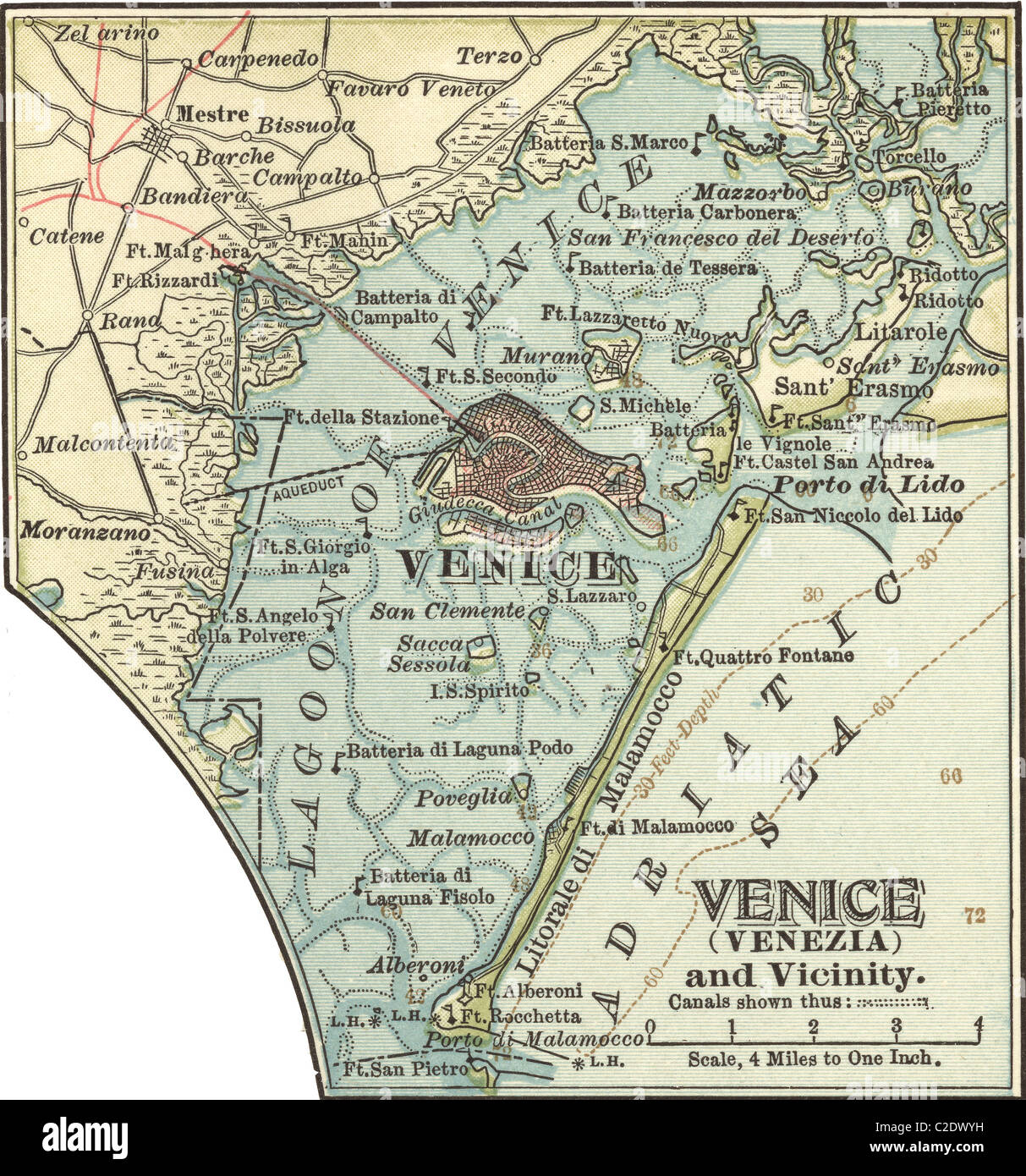 Map of Venice Stock Photohttps://www.alamy.com/image-license-details/?v=1https://www.alamy.com/stock-photo-map-of-venice-35955797.html
RMC2DWYH–Map of Venice
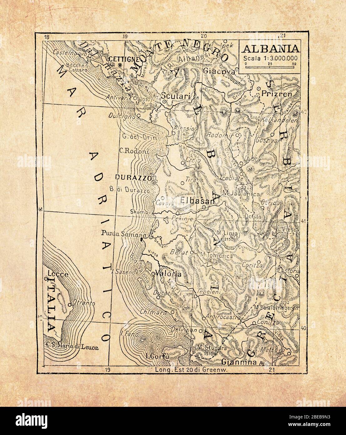 Ancient map of Albania country in Southeast Europe on the Adriatic and Ionian Sea with geographical Italian names and descriptions Stock Photohttps://www.alamy.com/image-license-details/?v=1https://www.alamy.com/ancient-map-of-albania-country-in-southeast-europe-on-the-adriatic-and-ionian-sea-with-geographical-italian-names-and-descriptions-image353061663.html
RF2BEB9N3–Ancient map of Albania country in Southeast Europe on the Adriatic and Ionian Sea with geographical Italian names and descriptions
 Adriatic map in Vesconte 1318 atlas Stock Photohttps://www.alamy.com/image-license-details/?v=1https://www.alamy.com/stock-photo-adriatic-map-in-vesconte-1318-atlas-142470313.html
RMJ7P29D–Adriatic map in Vesconte 1318 atlas
 Depths of the Adriatic. Dalmatia Italy. Sketch map 1886 old antique chart Stock Photohttps://www.alamy.com/image-license-details/?v=1https://www.alamy.com/depths-of-the-adriatic-dalmatia-italy-sketch-map-1886-old-antique-chart-image260889013.html
RFW4CEGN–Depths of the Adriatic. Dalmatia Italy. Sketch map 1886 old antique chart
 ISMAR - Adriatic 'Acqua Alta' platform, Provincia di Venezia, IT, Italy, Veneto, N 45 18' 1'', N 12 30' 0'', map, Cartascapes Map published in 2024. Explore Cartascapes, a map revealing Earth's diverse landscapes, cultures, and ecosystems. Journey through time and space, discovering the interconnectedness of our planet's past, present, and future. Stock Photohttps://www.alamy.com/image-license-details/?v=1https://www.alamy.com/ismar-adriatic-acqua-alta-platform-provincia-di-venezia-it-italy-veneto-n-45-18-1-n-12-30-0-map-cartascapes-map-published-in-2024-explore-cartascapes-a-map-revealing-earths-diverse-landscapes-cultures-and-ecosystems-journey-through-time-and-space-discovering-the-interconnectedness-of-our-planets-past-present-and-future-image614461913.html
RM2XKK4C9–ISMAR - Adriatic 'Acqua Alta' platform, Provincia di Venezia, IT, Italy, Veneto, N 45 18' 1'', N 12 30' 0'', map, Cartascapes Map published in 2024. Explore Cartascapes, a map revealing Earth's diverse landscapes, cultures, and ecosystems. Journey through time and space, discovering the interconnectedness of our planet's past, present, and future.
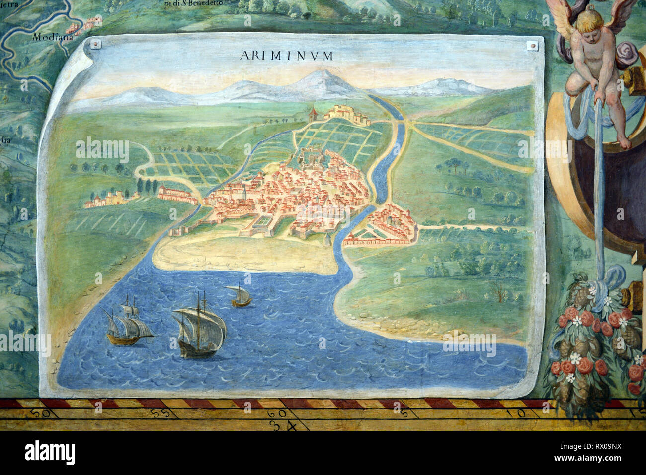 Town Plan or Old Map of Rimini, Italy. Fresco or Wall Painting in Gallery of Maps (1580-83) based on Drawings by Ignazio Danti Vatican Museums Stock Photohttps://www.alamy.com/image-license-details/?v=1https://www.alamy.com/town-plan-or-old-map-of-rimini-italy-fresco-or-wall-painting-in-gallery-of-maps-1580-83-based-on-drawings-by-ignazio-danti-vatican-museums-image239723510.html
RMRX09NX–Town Plan or Old Map of Rimini, Italy. Fresco or Wall Painting in Gallery of Maps (1580-83) based on Drawings by Ignazio Danti Vatican Museums
 Gulf of Venice, gray political map. Bay of water in the northern Adriatic Sea limited by Venetian Lagoon in Italy, and Istrian Peninsula in Croatia. Stock Photohttps://www.alamy.com/image-license-details/?v=1https://www.alamy.com/gulf-of-venice-gray-political-map-bay-of-water-in-the-northern-adriatic-sea-limited-by-venetian-lagoon-in-italy-and-istrian-peninsula-in-croatia-image552053156.html
RF2R245C4–Gulf of Venice, gray political map. Bay of water in the northern Adriatic Sea limited by Venetian Lagoon in Italy, and Istrian Peninsula in Croatia.
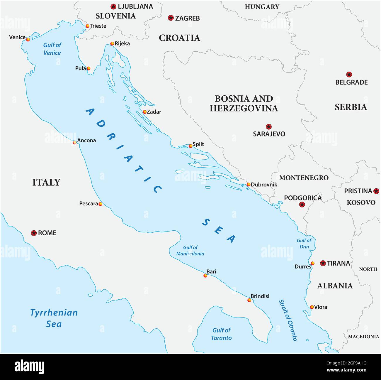 vector map of the adriatic sea with its neighboring countries Stock Vectorhttps://www.alamy.com/image-license-details/?v=1https://www.alamy.com/vector-map-of-the-adriatic-sea-with-its-neighboring-countries-image443855820.html
RF2GP3AHG–vector map of the adriatic sea with its neighboring countries
 Map of the coasts of the Adriatic Sea, Pas-Map of the Western Sea coasts of Italy, Dalmatia and Greece In the Gulf of Venice (title on object), Map of the coasts of the Adriatic Sea, three inset maps; bottom left one of Corfu and top right one of the mouth of the river Po and one of the Ionian Island of Paxoi. With five compass roses, North is up. Top center two putti with a nautical chart near the title and the address of the publisher. Top right and bottom left the scale, shown in German, Spanish and English or French miles., print maker : anonymous Stock Photohttps://www.alamy.com/image-license-details/?v=1https://www.alamy.com/map-of-the-coasts-of-the-adriatic-sea-pas-map-of-the-western-sea-coasts-of-italy-dalmatia-and-greece-in-the-gulf-of-venice-title-on-object-map-of-the-coasts-of-the-adriatic-sea-three-inset-maps-bottom-left-one-of-corfu-and-top-right-one-of-the-mouth-of-the-river-po-and-one-of-the-ionian-island-of-paxoi-with-five-compass-roses-north-is-up-top-center-two-putti-with-a-nautical-chart-near-the-title-and-the-address-of-the-publisher-top-right-and-bottom-left-the-scale-shown-in-german-spanish-and-english-or-french-miles-print-maker-anonymous-image599445830.html
RM2WR737J–Map of the coasts of the Adriatic Sea, Pas-Map of the Western Sea coasts of Italy, Dalmatia and Greece In the Gulf of Venice (title on object), Map of the coasts of the Adriatic Sea, three inset maps; bottom left one of Corfu and top right one of the mouth of the river Po and one of the Ionian Island of Paxoi. With five compass roses, North is up. Top center two putti with a nautical chart near the title and the address of the publisher. Top right and bottom left the scale, shown in German, Spanish and English or French miles., print maker : anonymous
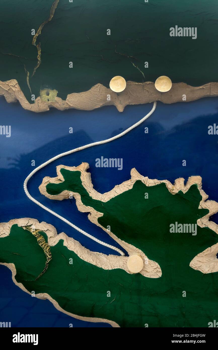 Europe, Mediterranean, Adriatic, Croatia, Hvar, Stari Grad, Map, representation, ferry connection Stock Photohttps://www.alamy.com/image-license-details/?v=1https://www.alamy.com/europe-mediterranean-adriatic-croatia-hvar-stari-grad-map-representation-ferry-connection-image347073353.html
RM2B4JFGW–Europe, Mediterranean, Adriatic, Croatia, Hvar, Stari Grad, Map, representation, ferry connection
 City of Trieste, Adriatic Sea, Lloyd Arsenal, Italy, city map and surroundings, districts, lighthouse, coast, cartography, hatchings, railway line Stock Photohttps://www.alamy.com/image-license-details/?v=1https://www.alamy.com/city-of-trieste-adriatic-sea-lloyd-arsenal-italy-city-map-and-surroundings-districts-lighthouse-coast-cartography-hatchings-railway-line-image505972244.html
RM2MB50N8–City of Trieste, Adriatic Sea, Lloyd Arsenal, Italy, city map and surroundings, districts, lighthouse, coast, cartography, hatchings, railway line
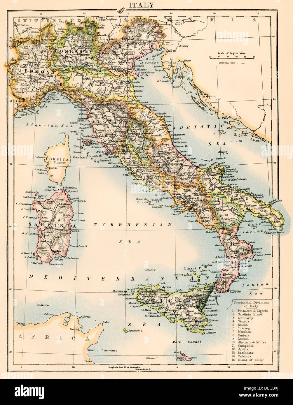 Map of Italy, 1870s. Color lithograph Stock Photohttps://www.alamy.com/image-license-details/?v=1https://www.alamy.com/map-of-italy-1870s-color-lithograph-image60596890.html
RMDEGBXJ–Map of Italy, 1870s. Color lithograph
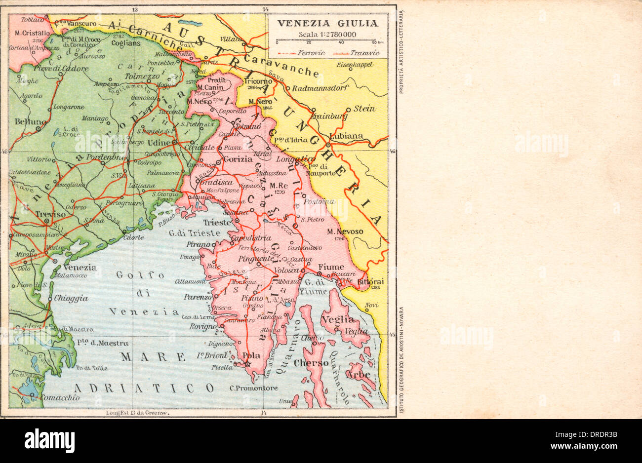 Italy - Venice - Map of the local region Stock Photohttps://www.alamy.com/image-license-details/?v=1https://www.alamy.com/italy-venice-map-of-the-local-region-image66071695.html
RMDRDR3B–Italy - Venice - Map of the local region
 Map of Italian Peninsula, Islands of Corsica and Sardinia and Adriatic coast. Engraving. 16th century. Stock Photohttps://www.alamy.com/image-license-details/?v=1https://www.alamy.com/stock-photo-map-of-italian-peninsula-islands-of-corsica-and-sardinia-and-adriatic-82417147.html
RMEP2BWF–Map of Italian Peninsula, Islands of Corsica and Sardinia and Adriatic coast. Engraving. 16th century.
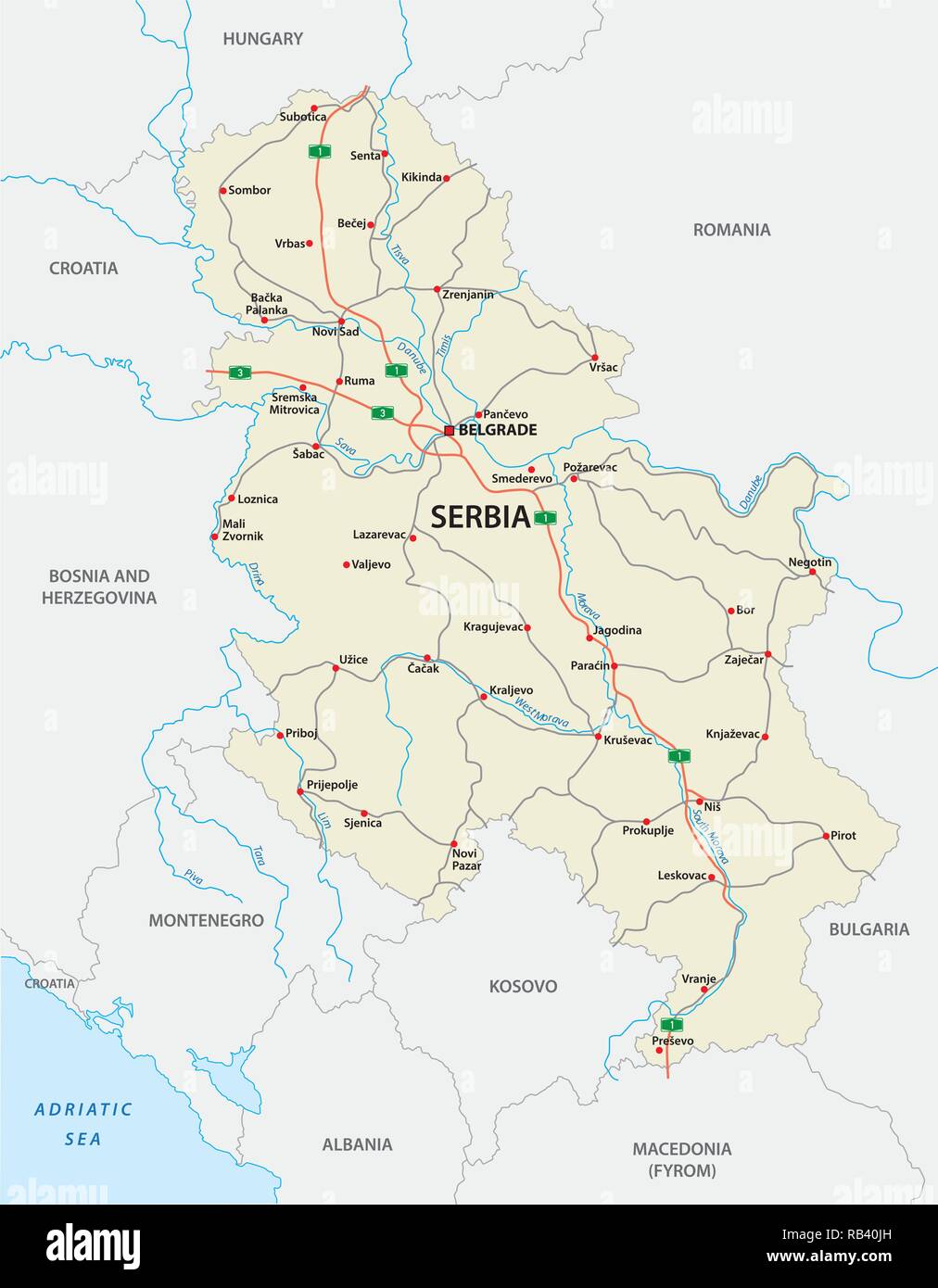 detailed Serbia road vector map with labeling Stock Vectorhttps://www.alamy.com/image-license-details/?v=1https://www.alamy.com/detailed-serbia-road-vector-map-with-labeling-image230584329.html
RFRB40JH–detailed Serbia road vector map with labeling
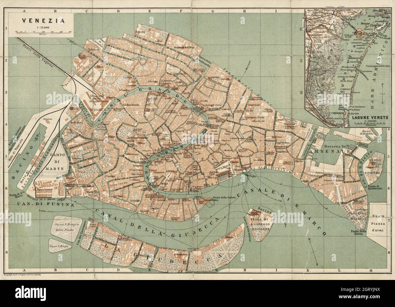 Venezia – Map of Venice by Wagner & Debes. 1886. Stock Photohttps://www.alamy.com/image-license-details/?v=1https://www.alamy.com/venezia-map-of-venice-by-wagner-debes-1886-image445003718.html
RM2GRYJNX–Venezia – Map of Venice by Wagner & Debes. 1886.
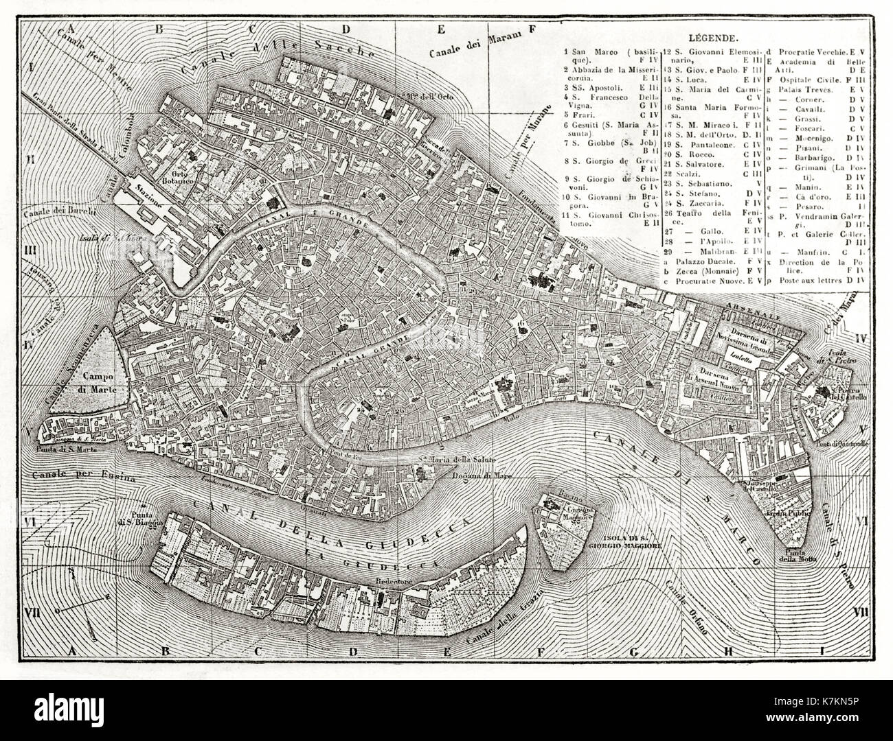 Old map of Venice, Italy. By Dufour, publ. on Le Tour du Monde, Paris, 1862 Stock Photohttps://www.alamy.com/image-license-details/?v=1https://www.alamy.com/old-map-of-venice-italy-by-dufour-publ-on-le-tour-du-monde-paris-1862-image159629618.html
RFK7KN5P–Old map of Venice, Italy. By Dufour, publ. on Le Tour du Monde, Paris, 1862
 Arbe Island in the Adriatic Sea on a colored elevation map Stock Photohttps://www.alamy.com/image-license-details/?v=1https://www.alamy.com/arbe-island-in-the-adriatic-sea-on-a-colored-elevation-map-image619516386.html
RF2XYWBD6–Arbe Island in the Adriatic Sea on a colored elevation map
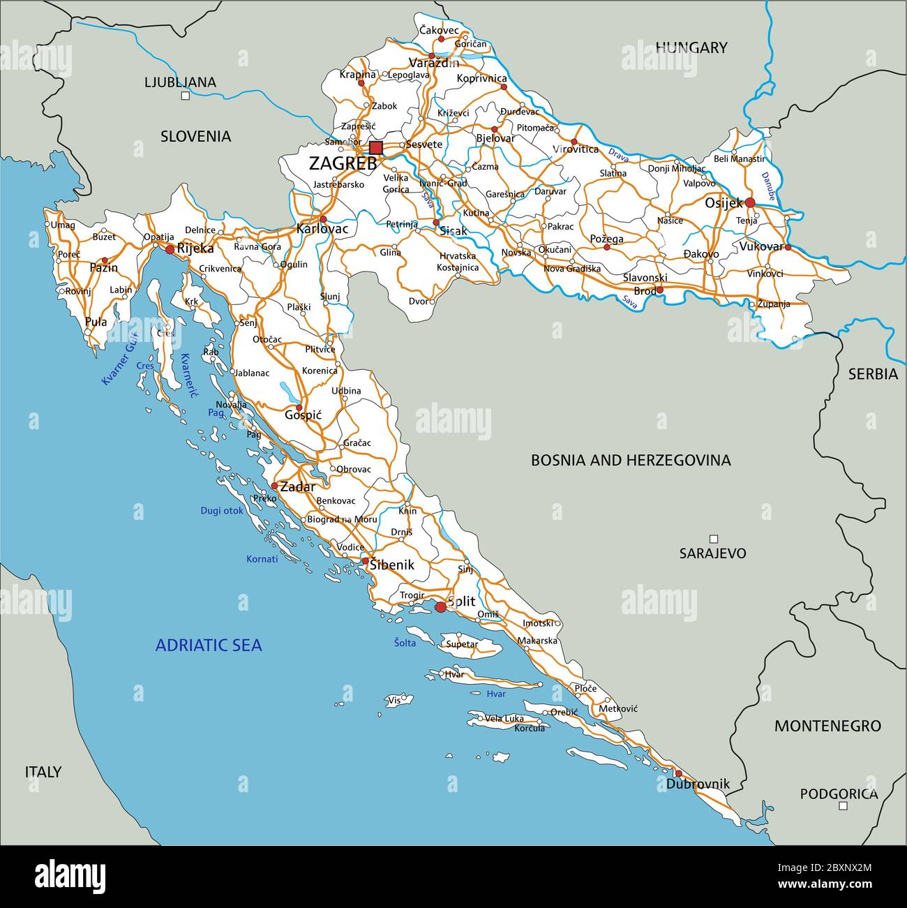 High detailed Croatia road map with labeling. Stock Vectorhttps://www.alamy.com/image-license-details/?v=1https://www.alamy.com/high-detailed-croatia-road-map-with-labeling-image360669868.html
RF2BXNX2M–High detailed Croatia road map with labeling.
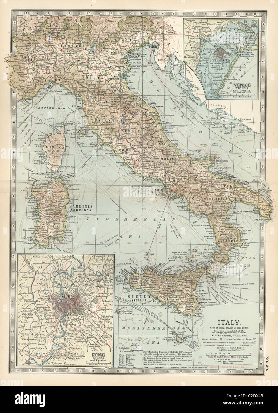 Map of Italy Stock Photohttps://www.alamy.com/image-license-details/?v=1https://www.alamy.com/stock-photo-map-of-italy-35955925.html
RMC2DX45–Map of Italy
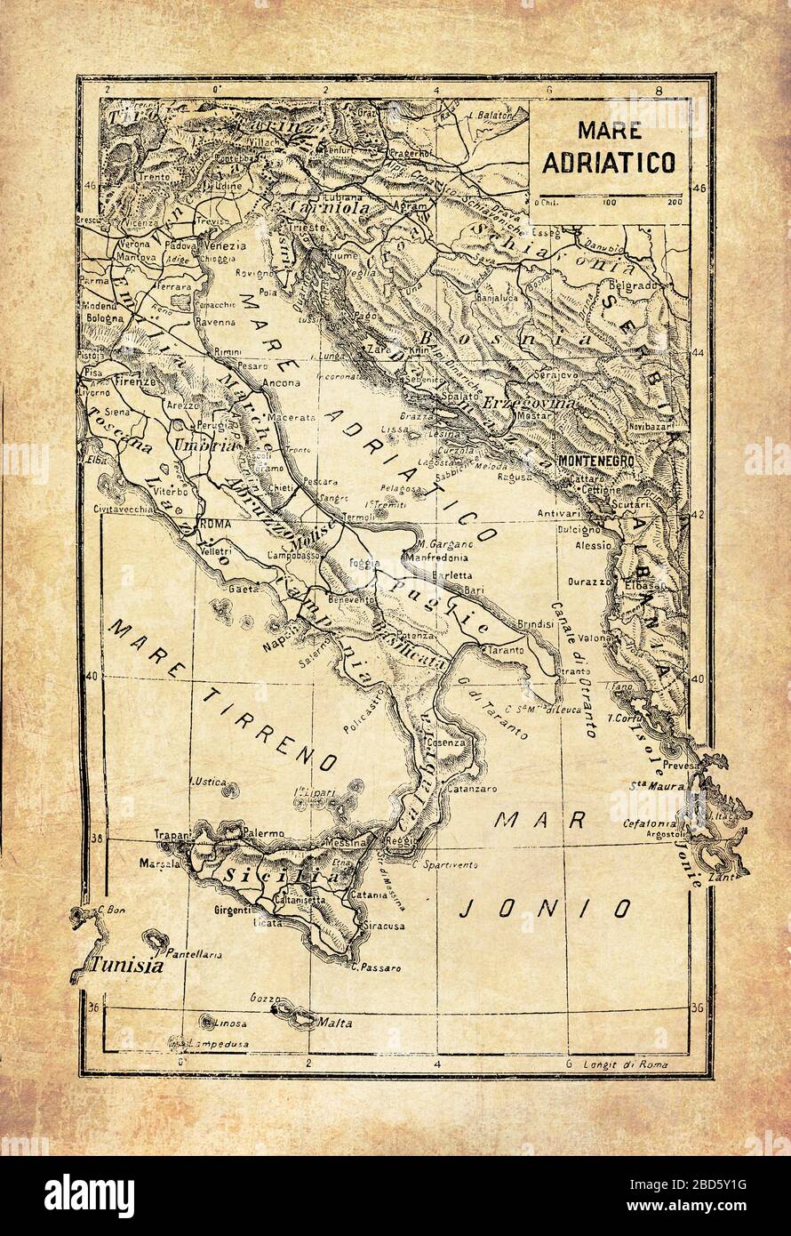 Ancient map of Adriatic,Jonian and Tyrrhenian seas, as part of the Mediterranean near the coasts of Italy and Sicily with geographical Italian names and descriptions Stock Photohttps://www.alamy.com/image-license-details/?v=1https://www.alamy.com/ancient-map-of-adriaticjonian-and-tyrrhenian-seas-as-part-of-the-mediterranean-near-the-coasts-of-italy-and-sicily-with-geographical-italian-names-and-descriptions-image352328860.html
RF2BD5Y1G–Ancient map of Adriatic,Jonian and Tyrrhenian seas, as part of the Mediterranean near the coasts of Italy and Sicily with geographical Italian names and descriptions
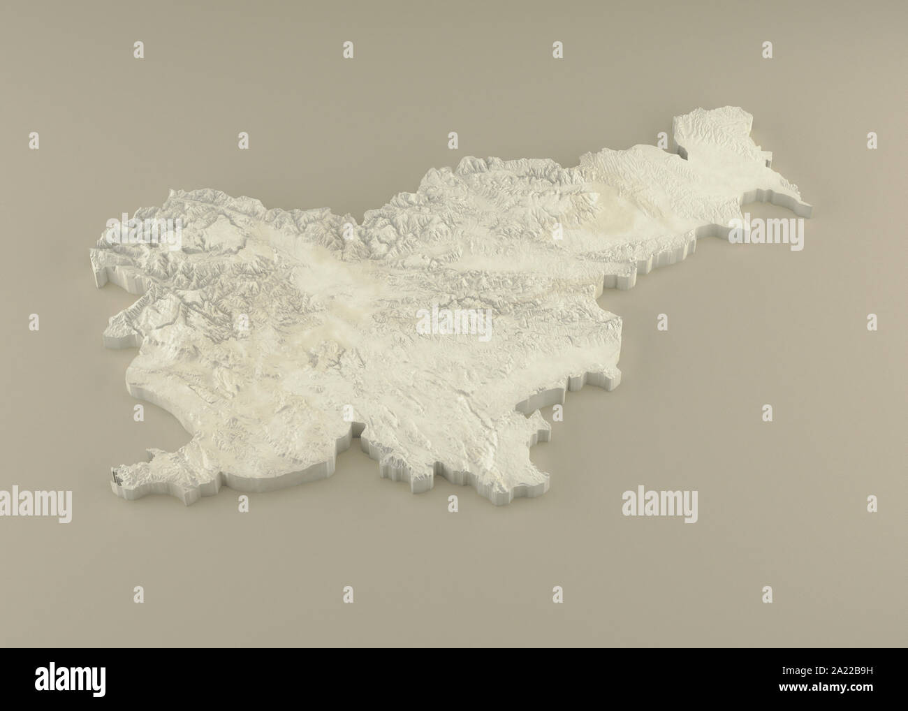 Extruded 3D political Map of Slovenia with relief as marble sculpture on a light beige background Stock Photohttps://www.alamy.com/image-license-details/?v=1https://www.alamy.com/extruded-3d-political-map-of-slovenia-with-relief-as-marble-sculpture-on-a-light-beige-background-image328279101.html
RF2A22B9H–Extruded 3D political Map of Slovenia with relief as marble sculpture on a light beige background
 Grecian Archipelago & Mediterranean Shores. Aegean islands. HUGHES 1859 map Stock Photohttps://www.alamy.com/image-license-details/?v=1https://www.alamy.com/grecian-archipelago-mediterranean-shores-aegean-islands-hughes-1859-map-image538947449.html
RF2P8R4Y5–Grecian Archipelago & Mediterranean Shores. Aegean islands. HUGHES 1859 map
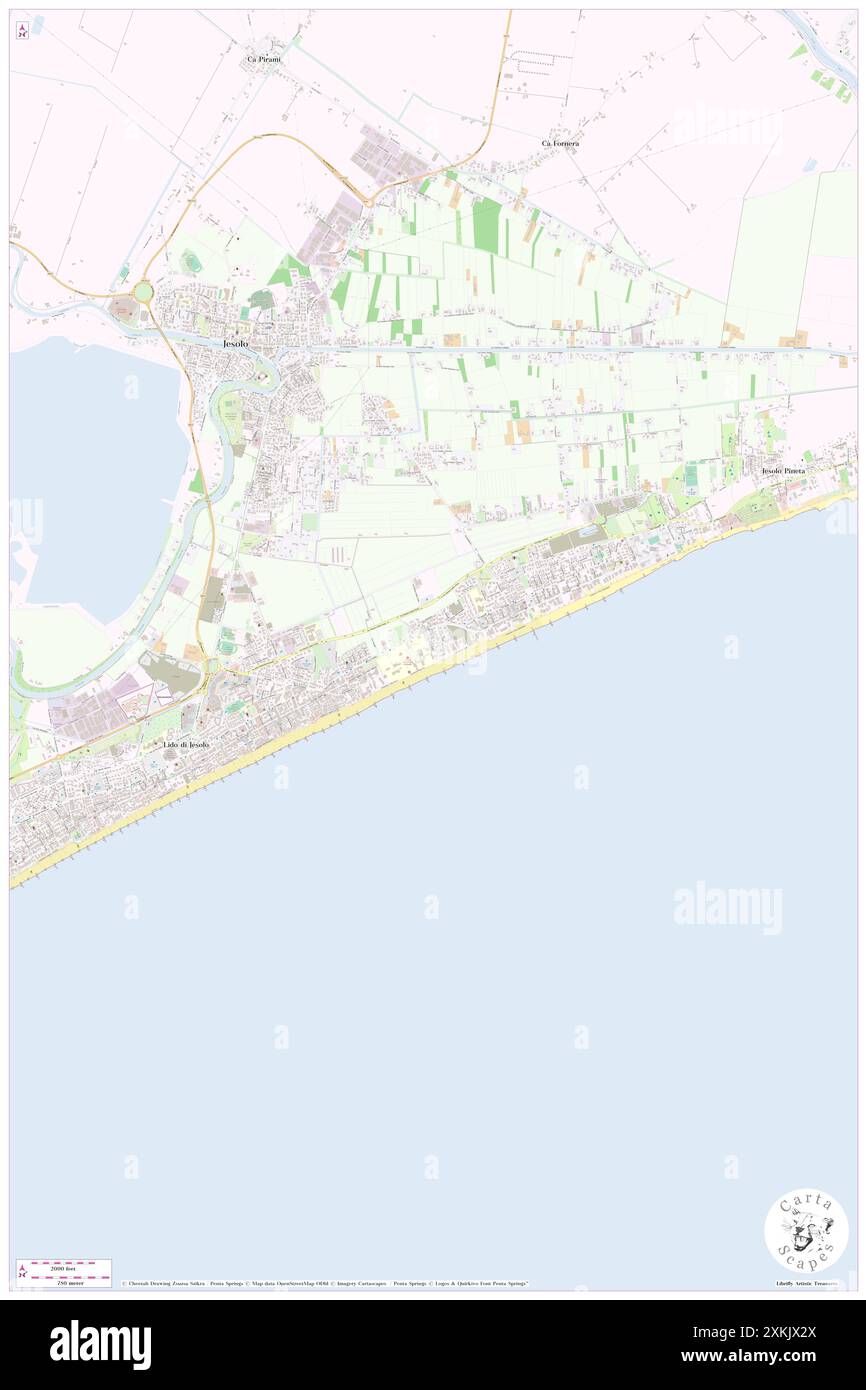 Hotel Adriatic Lido Di Jesolo, Provincia di Venezia, IT, Italy, Veneto, N 45 30' 40'', N 12 39' 42'', map, Cartascapes Map published in 2024. Explore Cartascapes, a map revealing Earth's diverse landscapes, cultures, and ecosystems. Journey through time and space, discovering the interconnectedness of our planet's past, present, and future. Stock Photohttps://www.alamy.com/image-license-details/?v=1https://www.alamy.com/hotel-adriatic-lido-di-jesolo-provincia-di-venezia-it-italy-veneto-n-45-30-40-n-12-39-42-map-cartascapes-map-published-in-2024-explore-cartascapes-a-map-revealing-earths-diverse-landscapes-cultures-and-ecosystems-journey-through-time-and-space-discovering-the-interconnectedness-of-our-planets-past-present-and-future-image614456946.html
RM2XKJX2X–Hotel Adriatic Lido Di Jesolo, Provincia di Venezia, IT, Italy, Veneto, N 45 30' 40'', N 12 39' 42'', map, Cartascapes Map published in 2024. Explore Cartascapes, a map revealing Earth's diverse landscapes, cultures, and ecosystems. Journey through time and space, discovering the interconnectedness of our planet's past, present, and future.
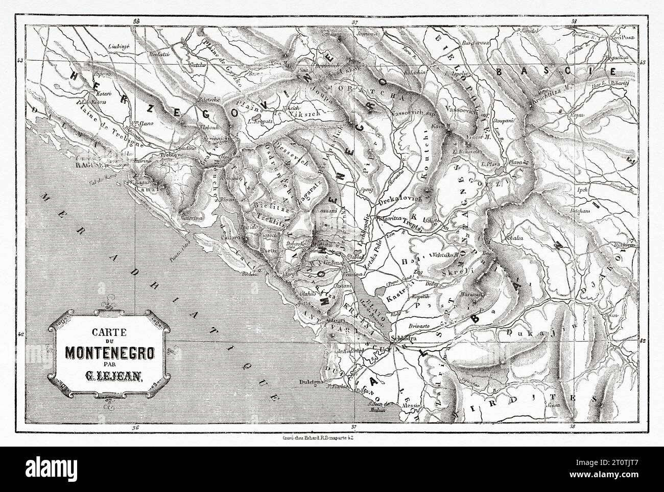 Old map of Montenegro. Europe. Trip to Albania and Montenegro in 1858 by French explorer Guillaume Lejean. Old 19th century engraving from Le Tour du Monde 1860 Stock Photohttps://www.alamy.com/image-license-details/?v=1https://www.alamy.com/old-map-of-montenegro-europe-trip-to-albania-and-montenegro-in-1858-by-french-explorer-guillaume-lejean-old-19th-century-engraving-from-le-tour-du-monde-1860-image568483783.html
RM2T0TJT7–Old map of Montenegro. Europe. Trip to Albania and Montenegro in 1858 by French explorer Guillaume Lejean. Old 19th century engraving from Le Tour du Monde 1860
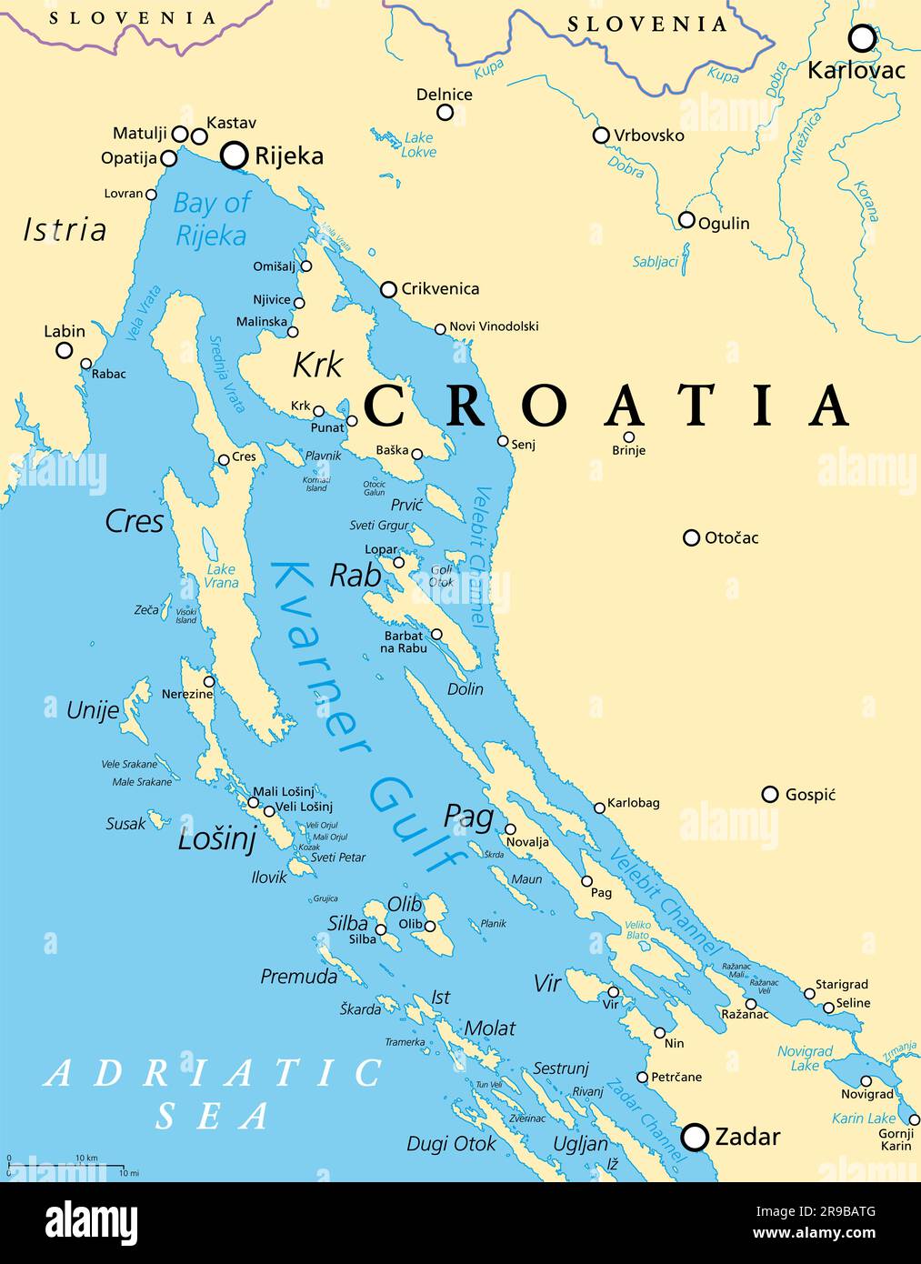 Kvarner Gulf, part of internal waters of Croatia, political map. Also known as Kvarner Bay, in the northern Adriatic Sea. Stock Photohttps://www.alamy.com/image-license-details/?v=1https://www.alamy.com/kvarner-gulf-part-of-internal-waters-of-croatia-political-map-also-known-as-kvarner-bay-in-the-northern-adriatic-sea-image556513680.html
RF2R9BATG–Kvarner Gulf, part of internal waters of Croatia, political map. Also known as Kvarner Bay, in the northern Adriatic Sea.
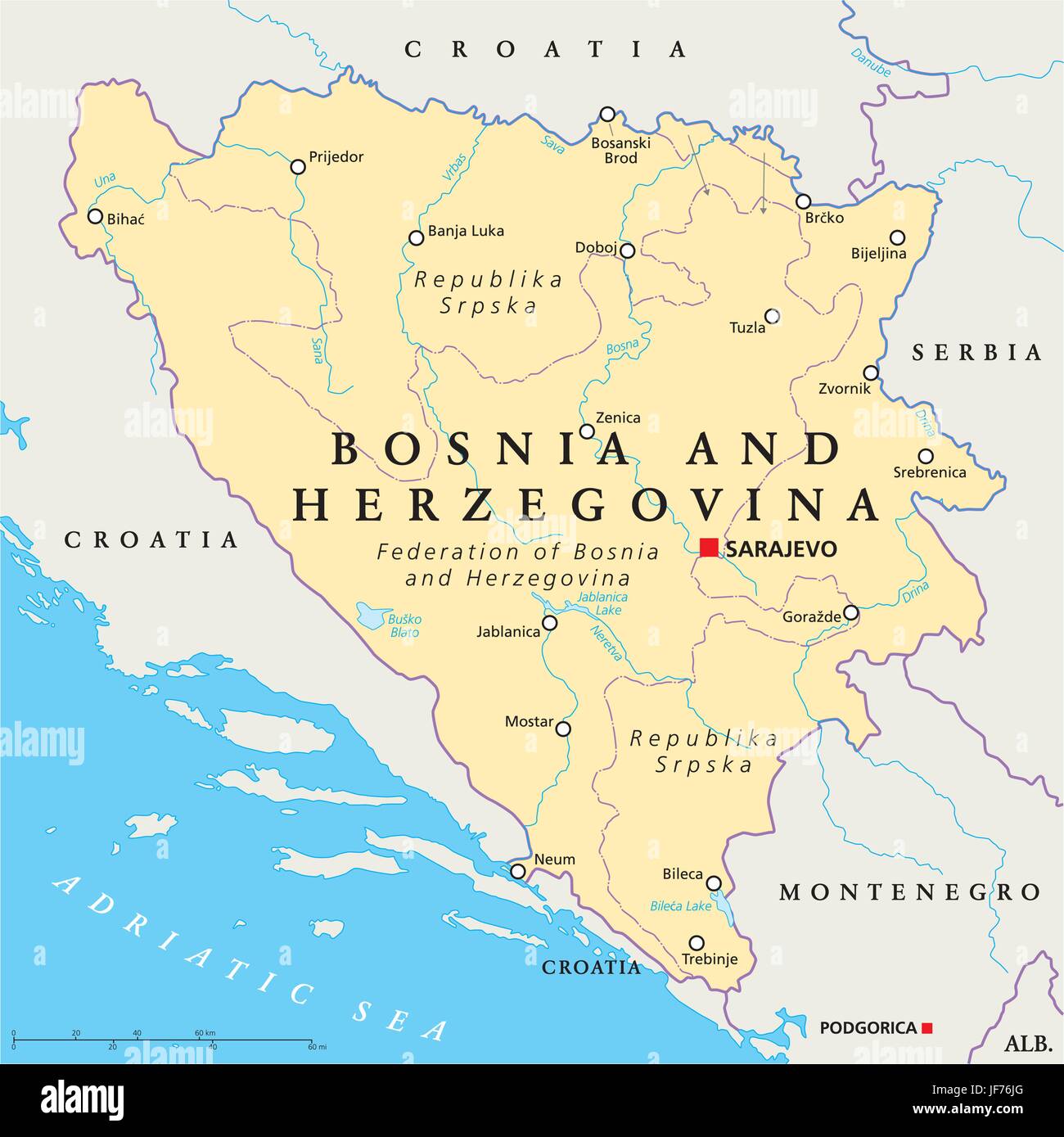 bosnia, map, atlas, map of the world, travel, europe, adriatic sea, croatia, Stock Vectorhttps://www.alamy.com/image-license-details/?v=1https://www.alamy.com/stock-photo-bosnia-map-atlas-map-of-the-world-travel-europe-adriatic-sea-croatia-147061672.html
RFJF76JG–bosnia, map, atlas, map of the world, travel, europe, adriatic sea, croatia,
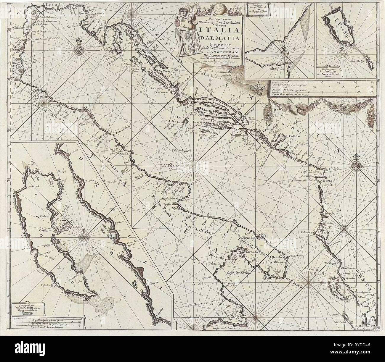 Map of the coasts of the Adriatic, print maker: Anonymous, 1682 - 1803 Stock Photohttps://www.alamy.com/image-license-details/?v=1https://www.alamy.com/map-of-the-coasts-of-the-adriatic-print-maker-anonymous-1682-1803-image240626182.html
RMRYDD46–Map of the coasts of the Adriatic, print maker: Anonymous, 1682 - 1803
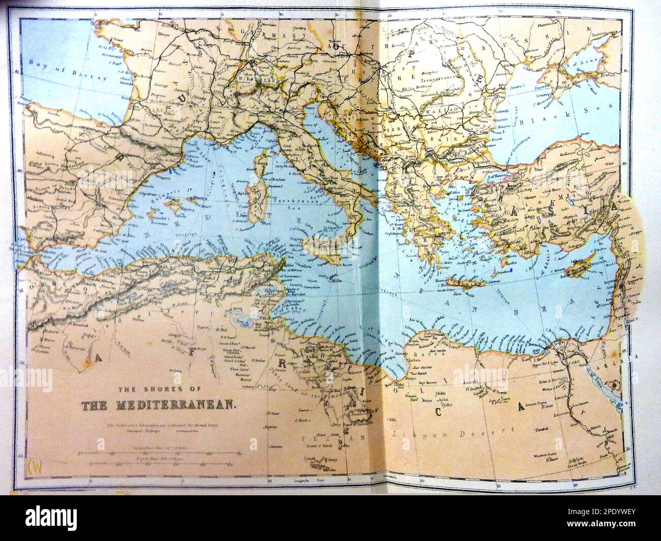 A late 19th century coloured map of the Mediterranean region. Stock Photohttps://www.alamy.com/image-license-details/?v=1https://www.alamy.com/a-late-19th-century-coloured-map-of-the-mediterranean-region-image542124659.html
RM2PDYWEY–A late 19th century coloured map of the Mediterranean region.
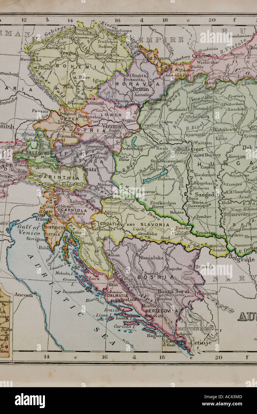 a 100 year old map of the adriatic showing old boundaries Stock Photohttps://www.alamy.com/image-license-details/?v=1https://www.alamy.com/a-100-year-old-map-of-the-adriatic-showing-old-boundaries-image7448204.html
RMAC43MD–a 100 year old map of the adriatic showing old boundaries
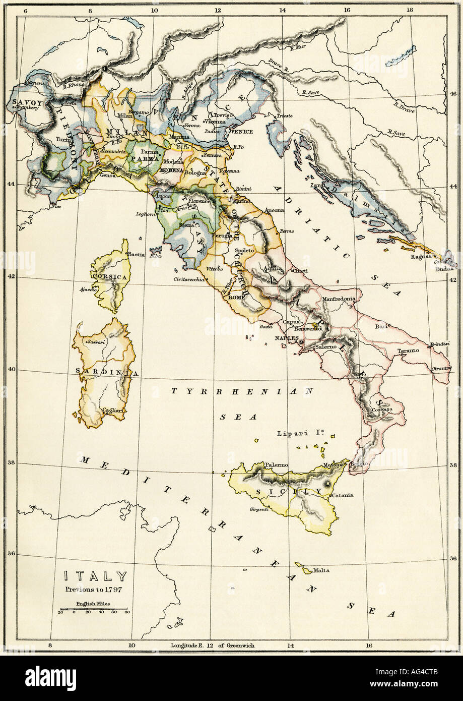 Map of Italy showing political divisions before 1797. Color lithograph Stock Photohttps://www.alamy.com/image-license-details/?v=1https://www.alamy.com/map-of-italy-showing-political-divisions-before-1797-color-lithograph-image8052106.html
RMAG4CTB–Map of Italy showing political divisions before 1797. Color lithograph
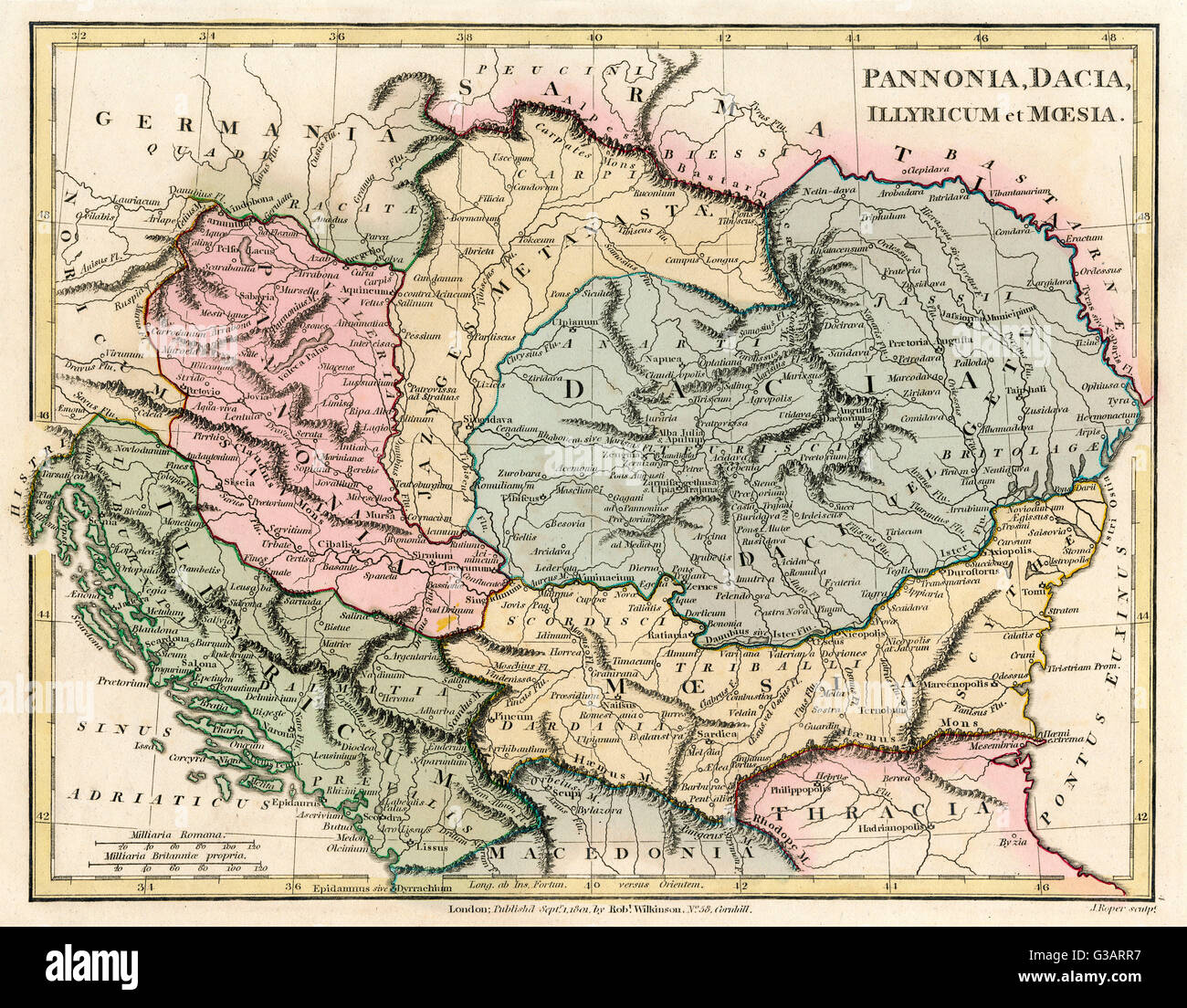 Map of the Dacian Empire and Roman provinces Stock Photohttps://www.alamy.com/image-license-details/?v=1https://www.alamy.com/stock-photo-map-of-the-dacian-empire-and-roman-provinces-105344379.html
RMG3ARR7–Map of the Dacian Empire and Roman provinces
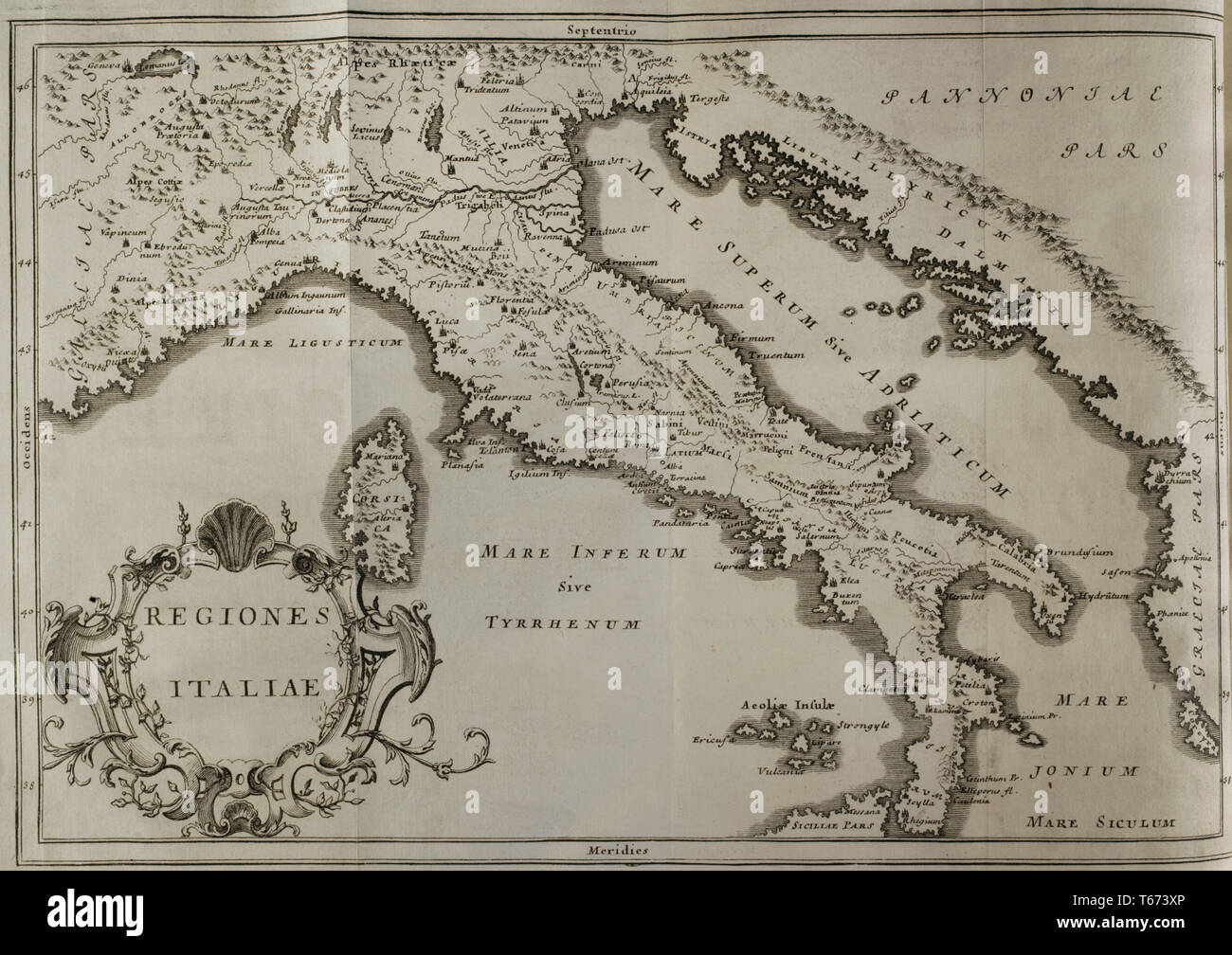 History by Polybius. Volume IV. French edition translated from Greek by Dom Vincent Thuillier. Comments of Military Science enriched with critical and historical notes by M. De Folard. Paris, chez Pierre Gandouin, Julien-Michel Gandouin, Pierre-Francois Giffart and Nicolas-Pierre Armand, 1728. Map of Italy. Stock Photohttps://www.alamy.com/image-license-details/?v=1https://www.alamy.com/history-by-polybius-volume-iv-french-edition-translated-from-greek-by-dom-vincent-thuillier-comments-of-military-science-enriched-with-critical-and-historical-notes-by-m-de-folard-paris-chez-pierre-gandouin-julien-michel-gandouin-pierre-francois-giffart-and-nicolas-pierre-armand-1728-map-of-italy-image244789854.html
RMT673XP–History by Polybius. Volume IV. French edition translated from Greek by Dom Vincent Thuillier. Comments of Military Science enriched with critical and historical notes by M. De Folard. Paris, chez Pierre Gandouin, Julien-Michel Gandouin, Pierre-Francois Giffart and Nicolas-Pierre Armand, 1728. Map of Italy.
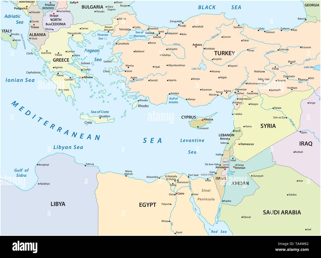 country map of the eastern mediterranean sea Stock Vectorhttps://www.alamy.com/image-license-details/?v=1https://www.alamy.com/country-map-of-the-eastern-mediterranean-sea-image247199290.html
RFTA4W62–country map of the eastern mediterranean sea
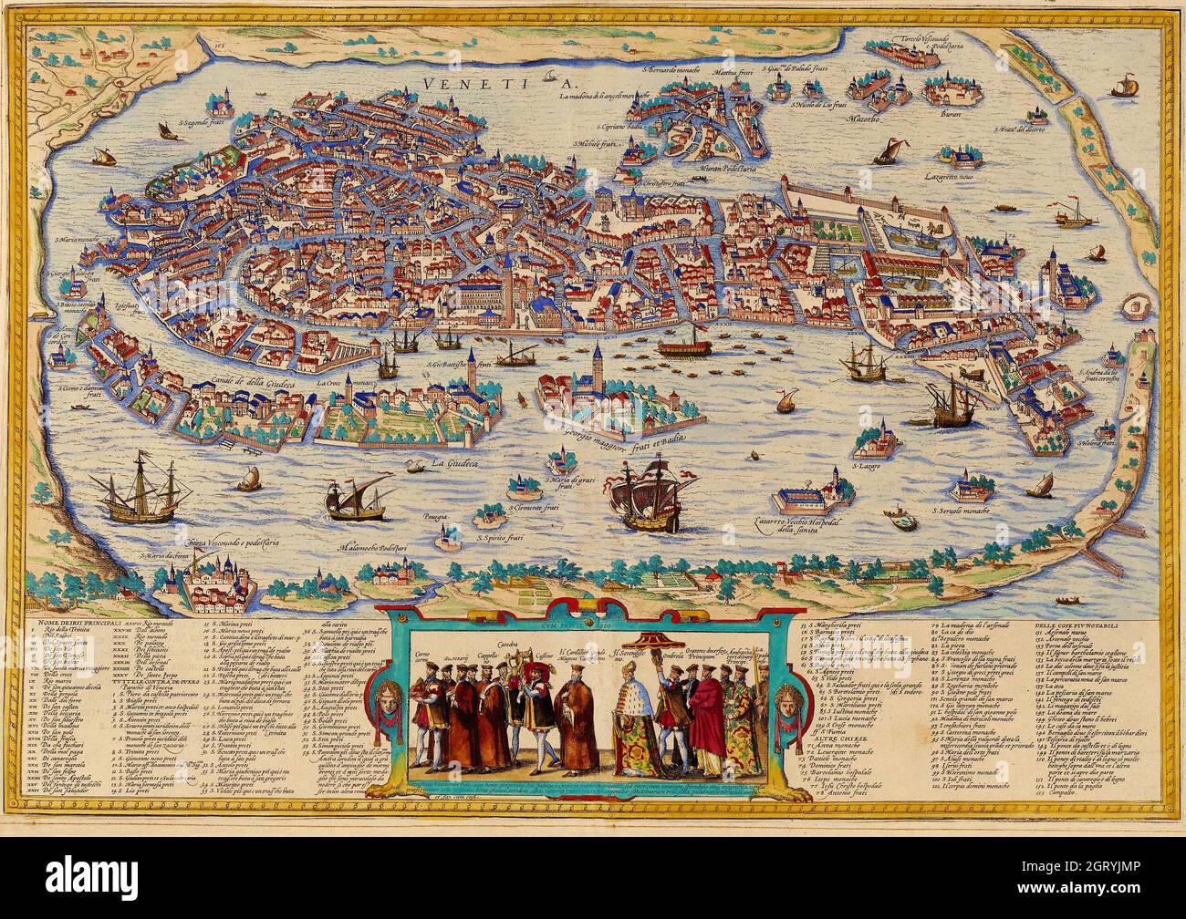 Map of Venice, 1572 by Braun and Hogenberg. Engraving by Bolognino Zaltieri, 1565. Stock Photohttps://www.alamy.com/image-license-details/?v=1https://www.alamy.com/map-of-venice-1572-by-braun-and-hogenberg-engraving-by-bolognino-zaltieri-1565-image445003686.html
RM2GRYJMP–Map of Venice, 1572 by Braun and Hogenberg. Engraving by Bolognino Zaltieri, 1565.
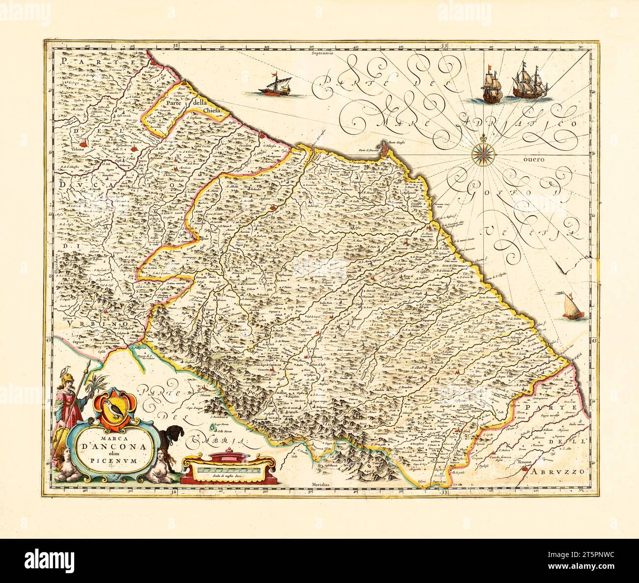 Old map of Marche region, Italy. By Blaeu, publ. ca. 1662 Stock Photohttps://www.alamy.com/image-license-details/?v=1https://www.alamy.com/old-map-of-marche-region-italy-by-blaeu-publ-ca-1662-image571515544.html
RF2T5PNWC–Old map of Marche region, Italy. By Blaeu, publ. ca. 1662
 Arbe Island in the Adriatic Sea on a topographic, OSM Humanitarian style map Stock Photohttps://www.alamy.com/image-license-details/?v=1https://www.alamy.com/arbe-island-in-the-adriatic-sea-on-a-topographic-osm-humanitarian-style-map-image619526260.html
RF2XYWT1T–Arbe Island in the Adriatic Sea on a topographic, OSM Humanitarian style map
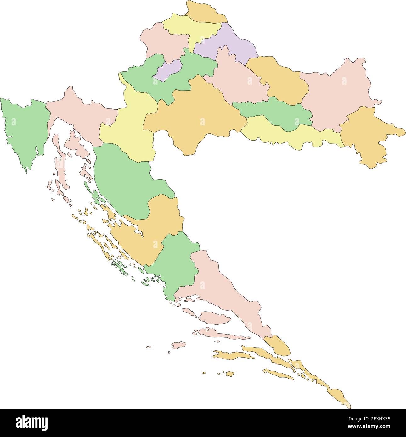 Croatia - Highly detailed editable political map. Stock Vectorhttps://www.alamy.com/image-license-details/?v=1https://www.alamy.com/croatia-highly-detailed-editable-political-map-image360669859.html
RF2BXNX2B–Croatia - Highly detailed editable political map.
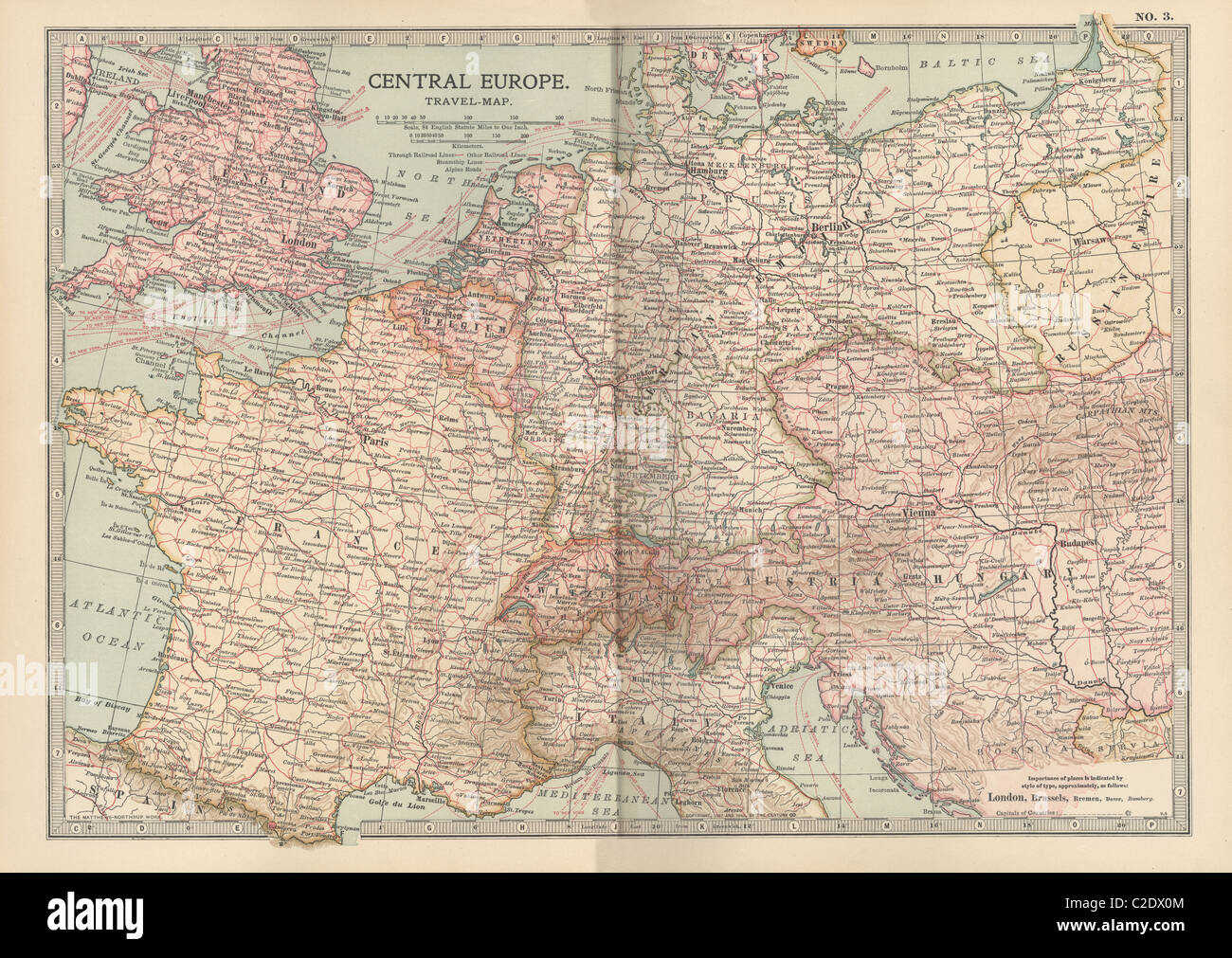 Map of Central Europe Stock Photohttps://www.alamy.com/image-license-details/?v=1https://www.alamy.com/stock-photo-map-of-central-europe-35955828.html
RMC2DX0M–Map of Central Europe
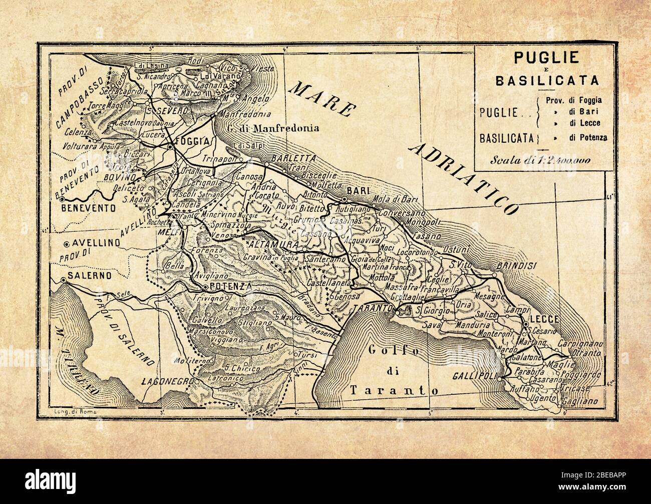 Ancient map of Apulia and Basilicata regions of the Southern part of Italy facing the Adriatic and the Jonian seas with geographical Italian names and descriptions Stock Photohttps://www.alamy.com/image-license-details/?v=1https://www.alamy.com/ancient-map-of-apulia-and-basilicata-regions-of-the-southern-part-of-italy-facing-the-adriatic-and-the-jonian-seas-with-geographical-italian-names-and-descriptions-image353062494.html
RF2BEBAPP–Ancient map of Apulia and Basilicata regions of the Southern part of Italy facing the Adriatic and the Jonian seas with geographical Italian names and descriptions
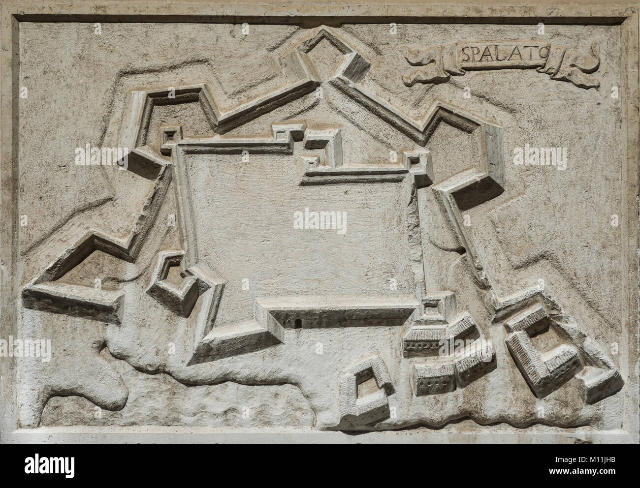 Ancient map of Split city in Croatia, an old venetian fortress on Adriatic Sea, from a stone relief on Santa Maria del Giglio Church in Venice, comple Stock Photohttps://www.alamy.com/image-license-details/?v=1https://www.alamy.com/stock-photo-ancient-map-of-split-city-in-croatia-an-old-venetian-fortress-on-adriatic-172754887.html
RFM11JHB–Ancient map of Split city in Croatia, an old venetian fortress on Adriatic Sea, from a stone relief on Santa Maria del Giglio Church in Venice, comple
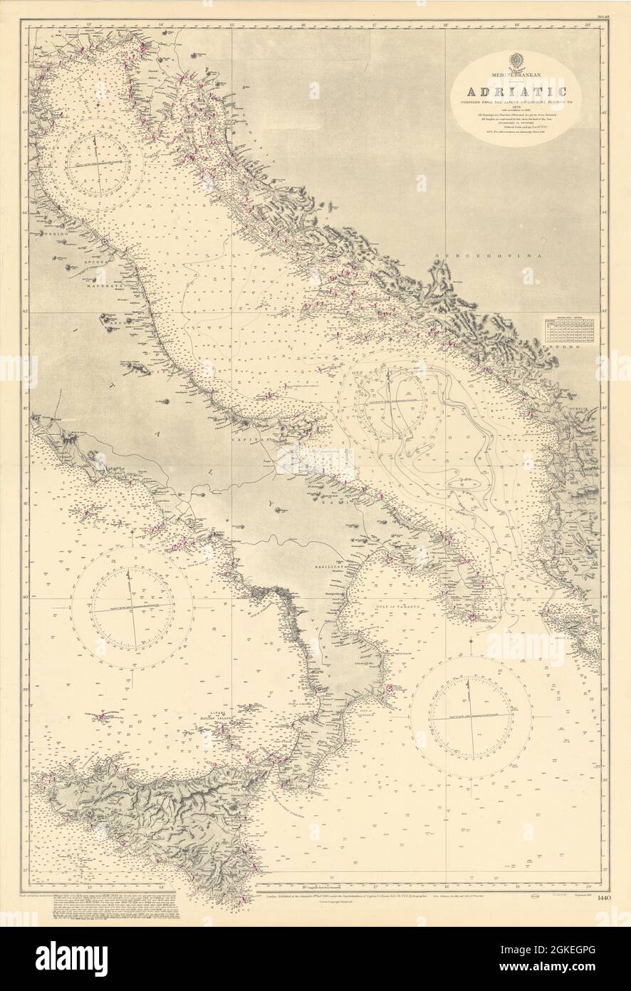 Mediterranean Adriatic Italy Croatia. ADMIRALTY sea chart 1880 (1949) old map Stock Photohttps://www.alamy.com/image-license-details/?v=1https://www.alamy.com/mediterranean-adriatic-italy-croatia-admiralty-sea-chart-1880-1949-old-map-image442258168.html
RF2GKEGPG–Mediterranean Adriatic Italy Croatia. ADMIRALTY sea chart 1880 (1949) old map
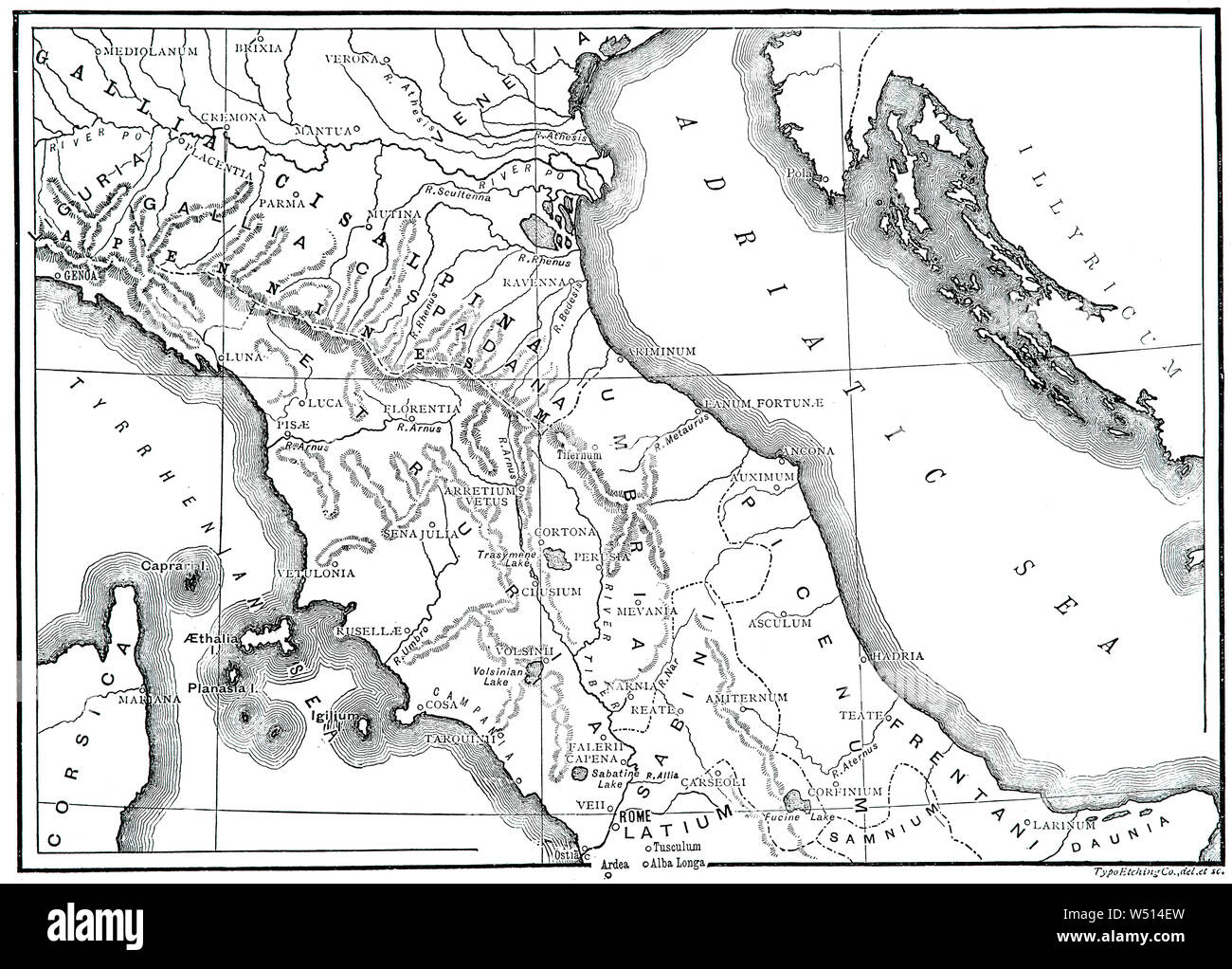 A 19th Century map of Ancient Northern and central Italia (Latin and Italian name for the Italian Peninsula), illustrating the homeland of the Romans and metropole of Rome's empire in classical antiquity. Rome was an Italian city-state that changed its form of government from kingdom to republic and when the consolidation of Italy into a single entity occurred during the Roman expansion in the peninsula, when Rome formed a permanent association with most of the local tribes and cities. Stock Photohttps://www.alamy.com/image-license-details/?v=1https://www.alamy.com/a-19th-century-map-of-ancient-northern-and-central-italia-latin-and-italian-name-for-the-italian-peninsula-illustrating-the-homeland-of-the-romans-and-metropole-of-romes-empire-in-classical-antiquity-rome-was-an-italian-city-state-that-changed-its-form-of-government-from-kingdom-to-republic-and-when-the-consolidation-of-italy-into-a-single-entity-occurred-during-the-roman-expansion-in-the-peninsula-when-rome-formed-a-permanent-association-with-most-of-the-local-tribes-and-cities-image261254305.html
RMW514EW–A 19th Century map of Ancient Northern and central Italia (Latin and Italian name for the Italian Peninsula), illustrating the homeland of the Romans and metropole of Rome's empire in classical antiquity. Rome was an Italian city-state that changed its form of government from kingdom to republic and when the consolidation of Italy into a single entity occurred during the Roman expansion in the peninsula, when Rome formed a permanent association with most of the local tribes and cities.
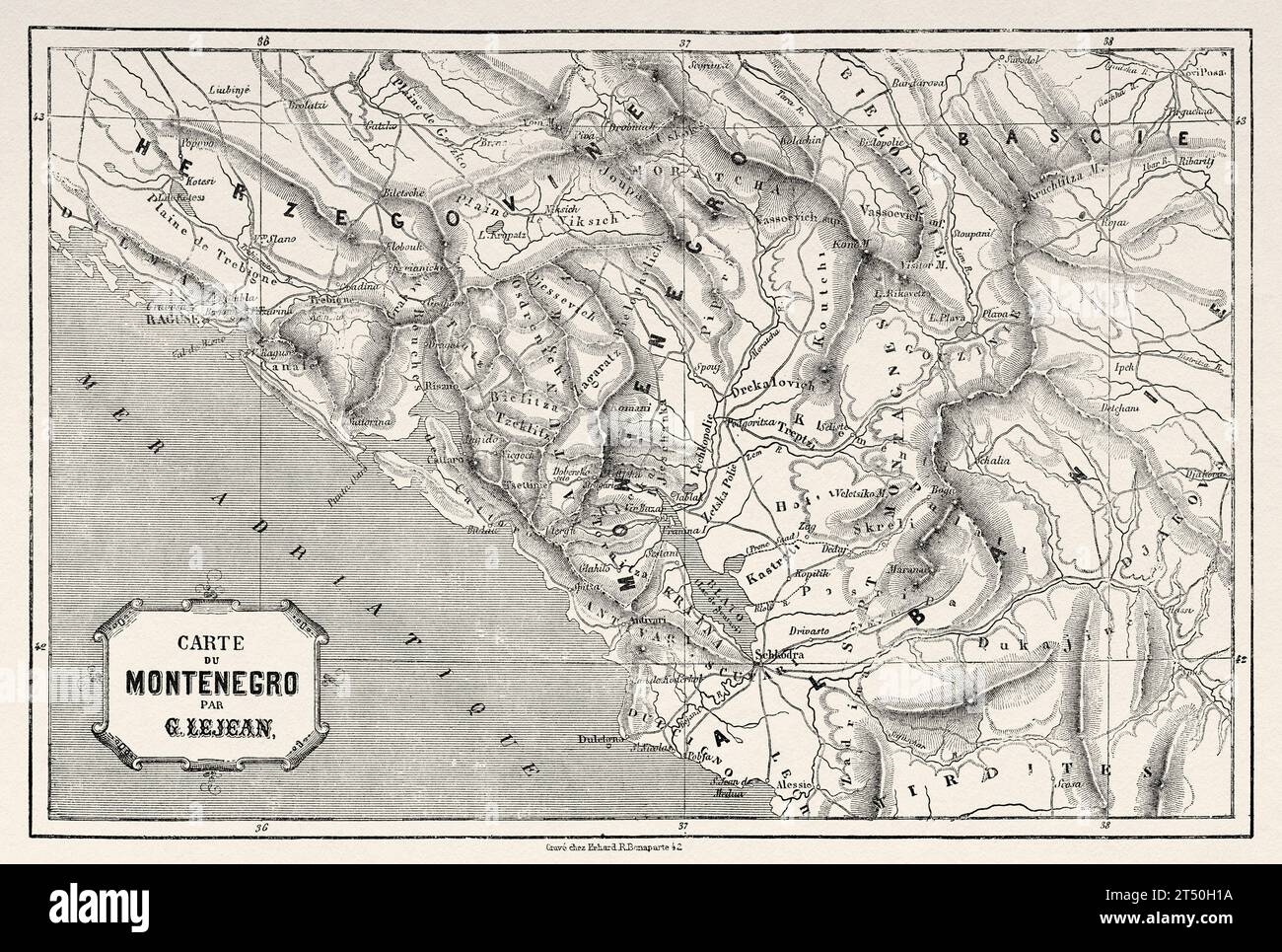 Old map of Montenegro. Europe. Trip to Albania and Montenegro in 1858 by French explorer Guillaume Lejean. Old 19th century engraving from Le Tour du Monde 1860 Stock Photohttps://www.alamy.com/image-license-details/?v=1https://www.alamy.com/old-map-of-montenegro-europe-trip-to-albania-and-montenegro-in-1858-by-french-explorer-guillaume-lejean-old-19th-century-engraving-from-le-tour-du-monde-1860-image571028790.html
RM2T50H1A–Old map of Montenegro. Europe. Trip to Albania and Montenegro in 1858 by French explorer Guillaume Lejean. Old 19th century engraving from Le Tour du Monde 1860
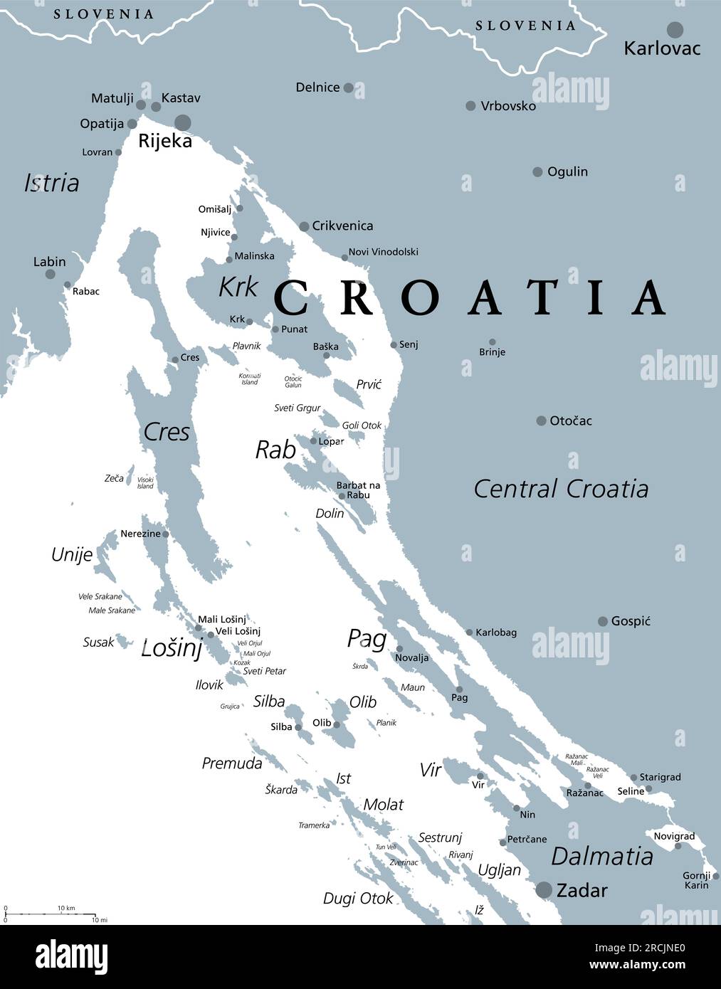 Kvarner Gulf, part of internal waters of Croatia, gray political map. The Kvarner Bay in the northern Adriatic Sea between Istria and Central Croatia. Stock Photohttps://www.alamy.com/image-license-details/?v=1https://www.alamy.com/kvarner-gulf-part-of-internal-waters-of-croatia-gray-political-map-the-kvarner-bay-in-the-northern-adriatic-sea-between-istria-and-central-croatia-image558519640.html
RF2RCJNE0–Kvarner Gulf, part of internal waters of Croatia, gray political map. The Kvarner Bay in the northern Adriatic Sea between Istria and Central Croatia.
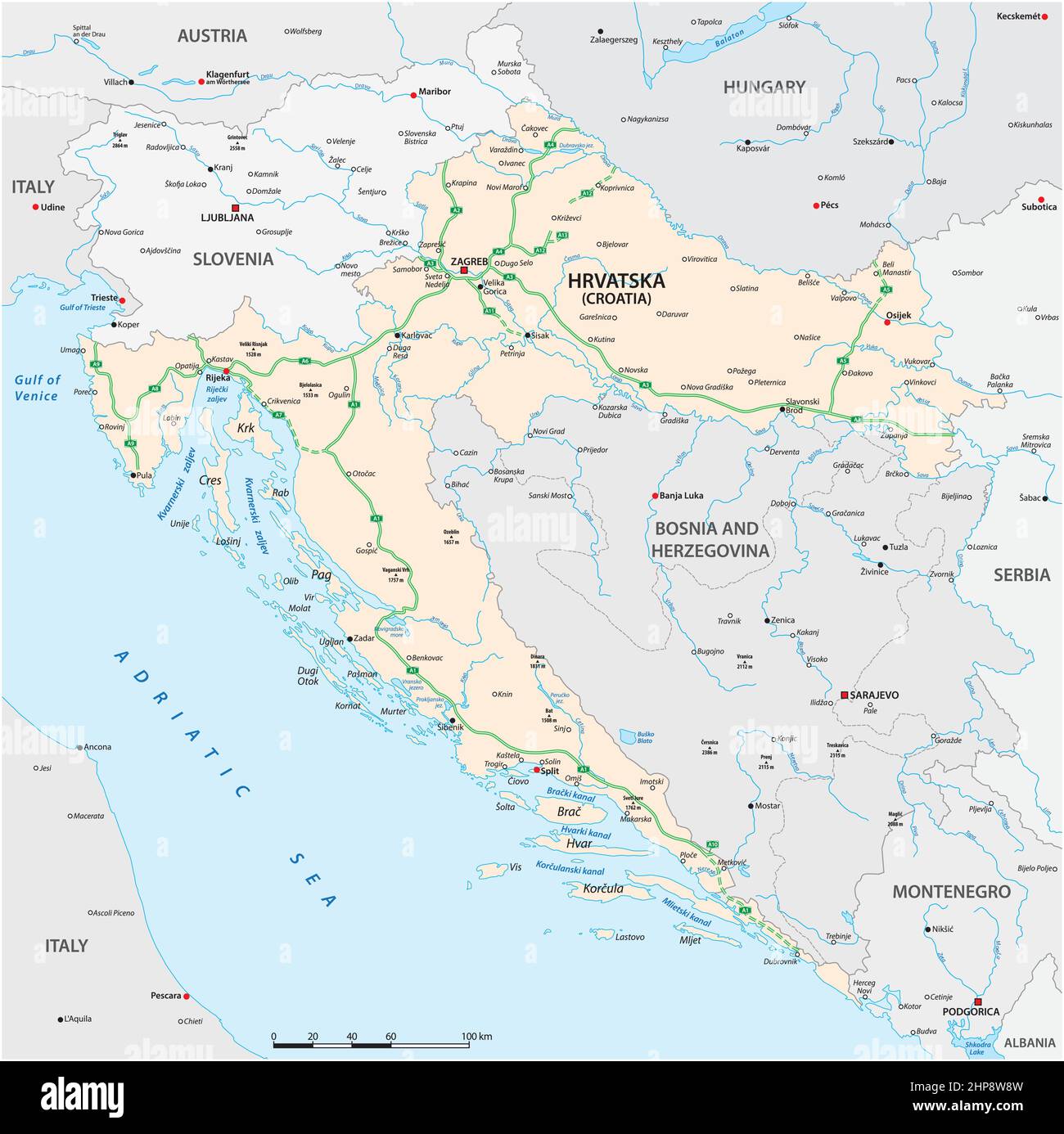 vector map of highways and main cities of Croatia Stock Vectorhttps://www.alamy.com/image-license-details/?v=1https://www.alamy.com/vector-map-of-highways-and-main-cities-of-croatia-image461187465.html
RF2HP8W8W–vector map of highways and main cities of Croatia
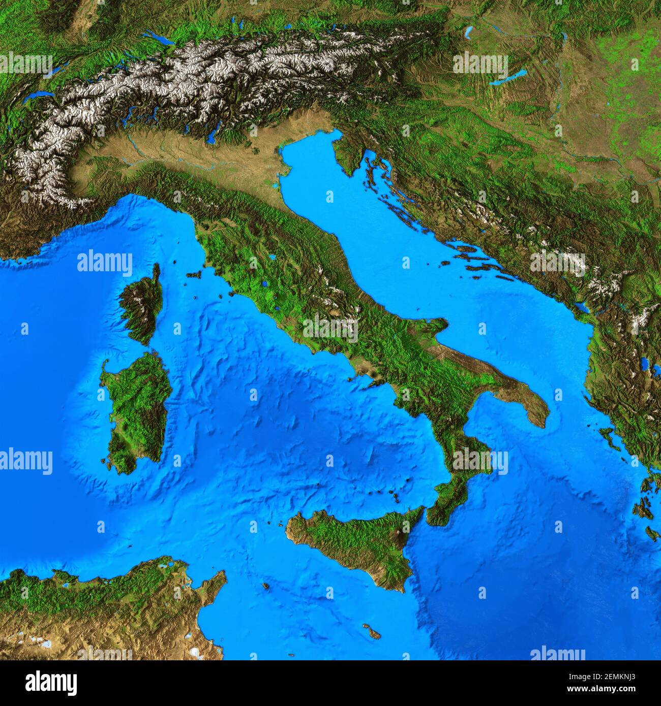 Physical map of Italy and Italian region. Detailed flat view of the Planet Earth and its landforms - Elements furnished by NASA Stock Photohttps://www.alamy.com/image-license-details/?v=1https://www.alamy.com/physical-map-of-italy-and-italian-region-detailed-flat-view-of-the-planet-earth-and-its-landforms-elements-furnished-by-nasa-image408565643.html
RF2EMKNJ3–Physical map of Italy and Italian region. Detailed flat view of the Planet Earth and its landforms - Elements furnished by NASA
 Vintage travel poster - Anonymous artist - FROM LONDON TO ITALY - South Italian Railway Adriatic Lines Stock Photohttps://www.alamy.com/image-license-details/?v=1https://www.alamy.com/vintage-travel-poster-anonymous-artist-from-london-to-italy-south-italian-railway-adriatic-lines-image465617578.html
RF2J1EKY6–Vintage travel poster - Anonymous artist - FROM LONDON TO ITALY - South Italian Railway Adriatic Lines
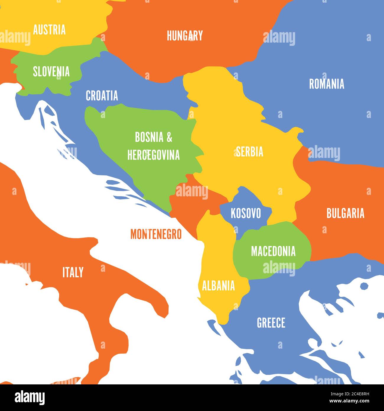 Political map of Balkans - States of Balkan Peninsula. Colorful vector illustration. Stock Vectorhttps://www.alamy.com/image-license-details/?v=1https://www.alamy.com/political-map-of-balkans-states-of-balkan-peninsula-colorful-vector-illustration-image364190613.html
RF2C4E8RH–Political map of Balkans - States of Balkan Peninsula. Colorful vector illustration.
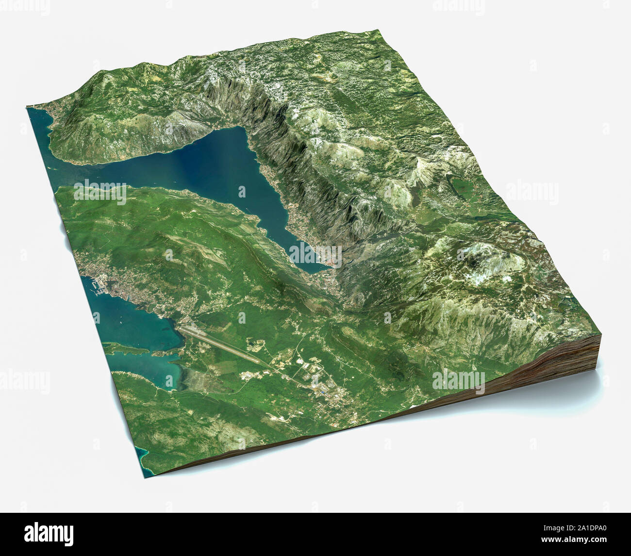 Satellite view of the largest fjord in the Mediterranean. The Bay of Kotor, Boka. 3d render. Section of the fjord. Map Stock Photohttps://www.alamy.com/image-license-details/?v=1https://www.alamy.com/satellite-view-of-the-largest-fjord-in-the-mediterranean-the-bay-of-kotor-boka-3d-render-section-of-the-fjord-map-image327914552.html
RF2A1DPA0–Satellite view of the largest fjord in the Mediterranean. The Bay of Kotor, Boka. 3d render. Section of the fjord. Map
 Map of Yugoslavia by G. H. Davis Stock Photohttps://www.alamy.com/image-license-details/?v=1https://www.alamy.com/map-of-yugoslavia-by-g-h-davis-image501431789.html
RM2M3P5A5–Map of Yugoslavia by G. H. Davis
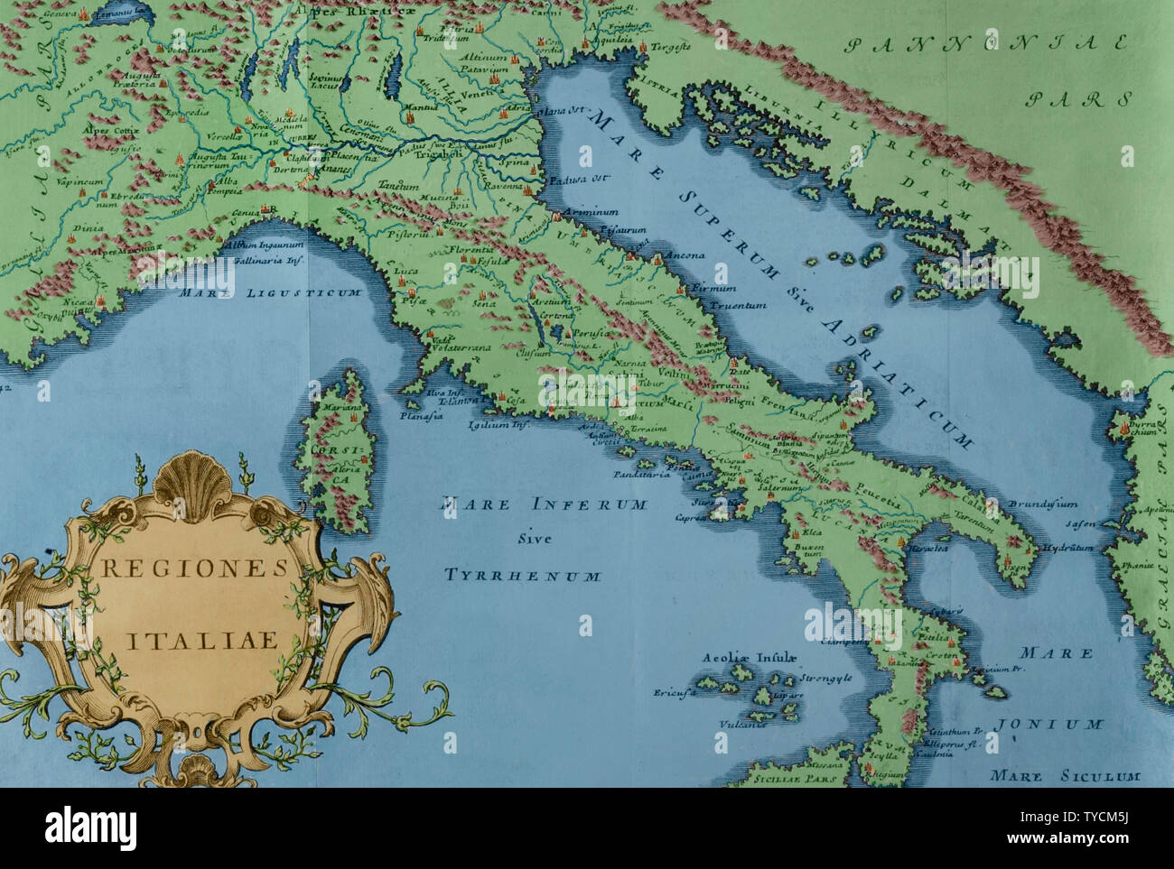 History by Polybius. Volume IV. French edition translated from Greek by Dom Vincent Thuillier. Comments of Military Science enriched with critical and historical notes by M. De Folard. Paris, chez Pierre Gandouin, Julien-Michel Gandouin, Pierre-Francois Giffart and Nicolas-Pierre Armand, 1728. Map of Italy. Later colouration. Stock Photohttps://www.alamy.com/image-license-details/?v=1https://www.alamy.com/history-by-polybius-volume-iv-french-edition-translated-from-greek-by-dom-vincent-thuillier-comments-of-military-science-enriched-with-critical-and-historical-notes-by-m-de-folard-paris-chez-pierre-gandouin-julien-michel-gandouin-pierre-francois-giffart-and-nicolas-pierre-armand-1728-map-of-italy-later-colouration-image257820126.html
RMTYCM5J–History by Polybius. Volume IV. French edition translated from Greek by Dom Vincent Thuillier. Comments of Military Science enriched with critical and historical notes by M. De Folard. Paris, chez Pierre Gandouin, Julien-Michel Gandouin, Pierre-Francois Giffart and Nicolas-Pierre Armand, 1728. Map of Italy. Later colouration.
 croatia vector map Stock Vectorhttps://www.alamy.com/image-license-details/?v=1https://www.alamy.com/stock-image-croatia-vector-map-167574606.html
RFKMHK3A–croatia vector map
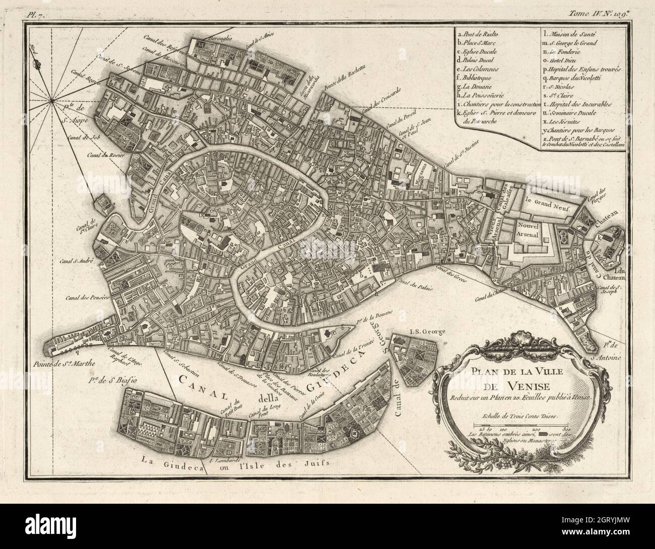 Map of Venice, 1764 by Bellin, Jacques Nicolas, 1703-1772. Plan de la ville de Venise : reduit sur un plan en 20. feuilles publié à Venise. Stock Photohttps://www.alamy.com/image-license-details/?v=1https://www.alamy.com/map-of-venice-1764-by-bellin-jacques-nicolas-1703-1772-plan-de-la-ville-de-venise-reduit-sur-un-plan-en-20-feuilles-publi-venise-image445003689.html
RM2GRYJMW–Map of Venice, 1764 by Bellin, Jacques Nicolas, 1703-1772. Plan de la ville de Venise : reduit sur un plan en 20. feuilles publié à Venise.
 3d illustration of Montenegro Map 3d inner extrude map Sea Depth with inner shadow. for web and print Stock Photohttps://www.alamy.com/image-license-details/?v=1https://www.alamy.com/3d-illustration-of-montenegro-map-3d-inner-extrude-map-sea-depth-with-inner-shadow-for-web-and-print-image475656396.html
RF2JHT0GC–3d illustration of Montenegro Map 3d inner extrude map Sea Depth with inner shadow. for web and print
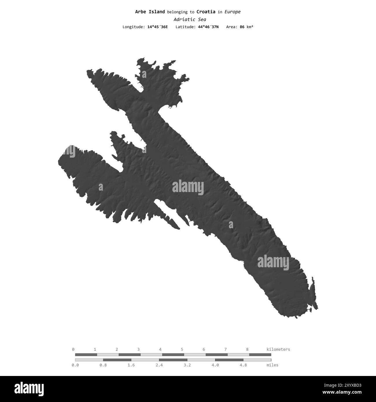 Arbe Island in the Adriatic Sea, belonging to Croatia, isolated on a bilevel elevation map, with distance scale Stock Photohttps://www.alamy.com/image-license-details/?v=1https://www.alamy.com/arbe-island-in-the-adriatic-sea-belonging-to-croatia-isolated-on-a-bilevel-elevation-map-with-distance-scale-image619538335.html
RF2XYXBD3–Arbe Island in the Adriatic Sea, belonging to Croatia, isolated on a bilevel elevation map, with distance scale
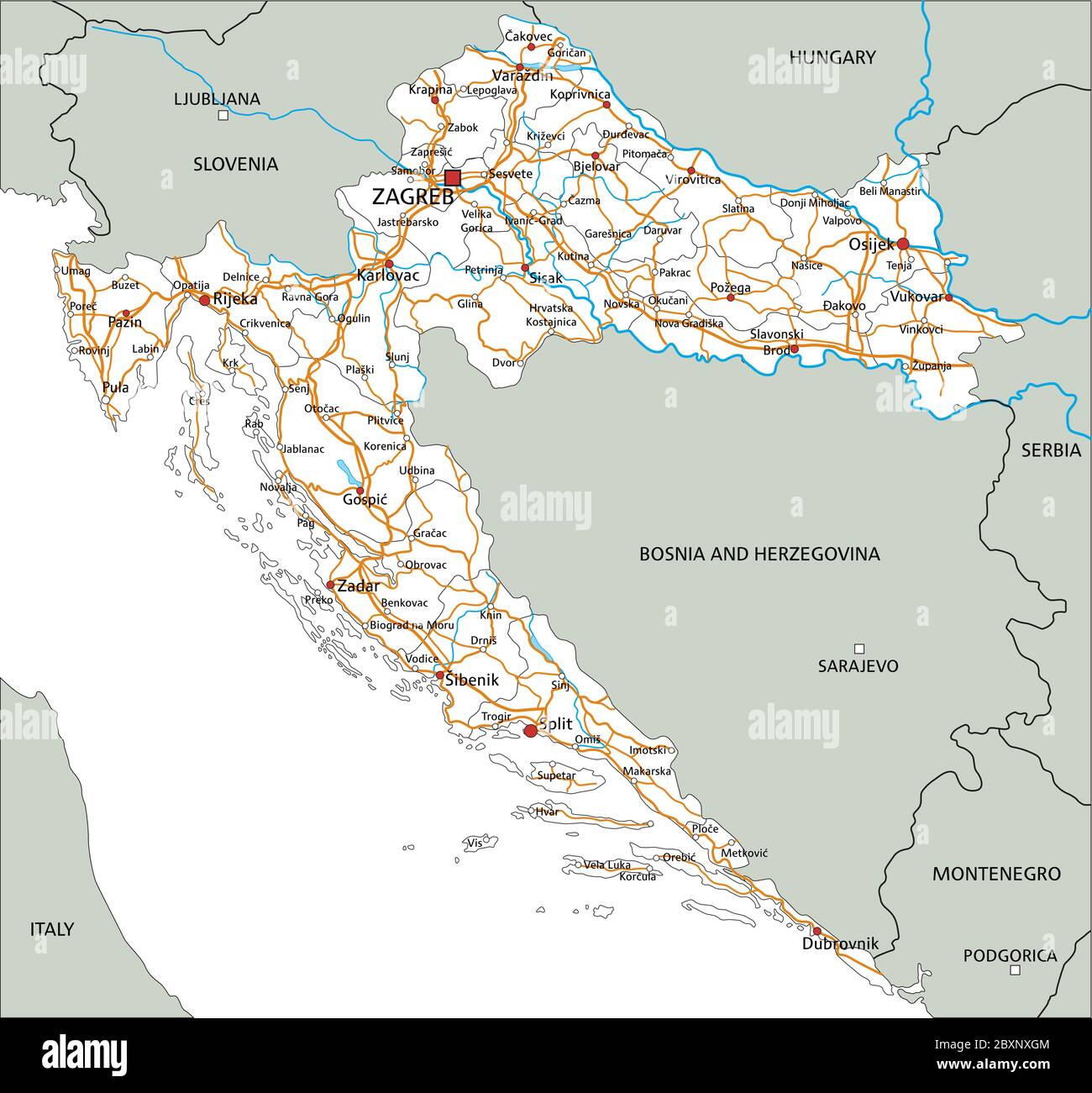 High detailed Croatia road map with labeling. Stock Vectorhttps://www.alamy.com/image-license-details/?v=1https://www.alamy.com/high-detailed-croatia-road-map-with-labeling-image360670260.html
RF2BXNXGM–High detailed Croatia road map with labeling.
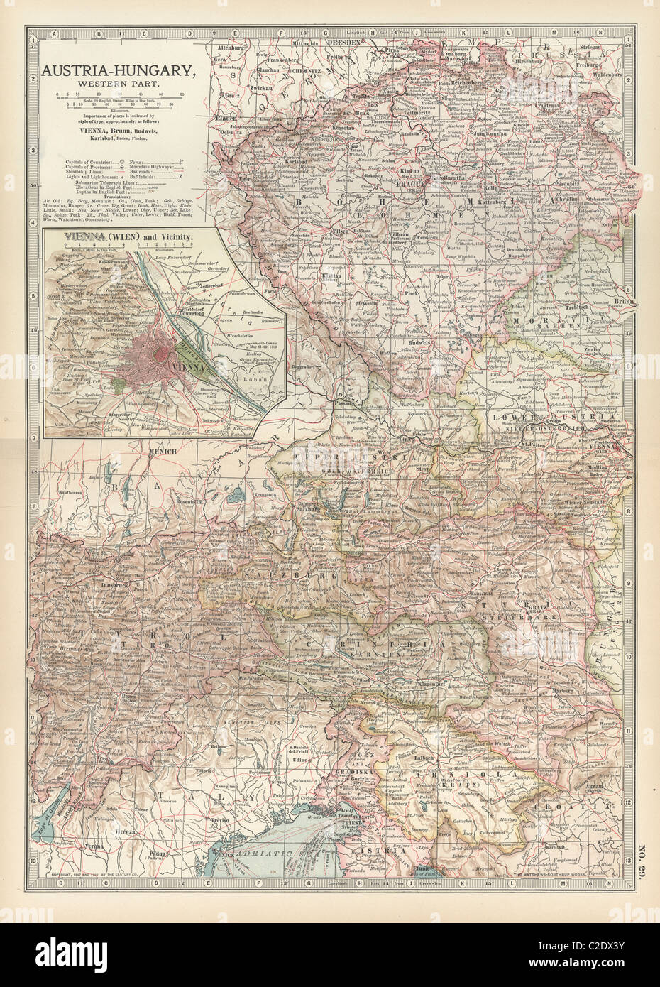 Map of Austria with Vienna Stock Photohttps://www.alamy.com/image-license-details/?v=1https://www.alamy.com/stock-photo-map-of-austria-with-vienna-35955919.html
RMC2DX3Y–Map of Austria with Vienna
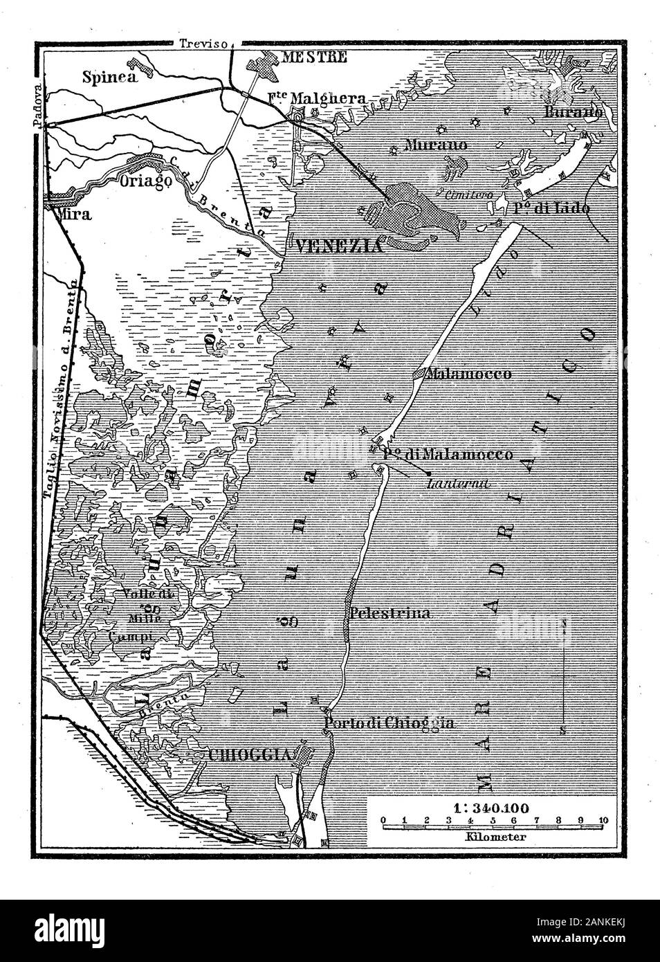 Ancient map of the Venetian lagoon with the view of the arch of external islands protecting Venice from the open sea from Burano to Chioggia Stock Photohttps://www.alamy.com/image-license-details/?v=1https://www.alamy.com/ancient-map-of-the-venetian-lagoon-with-the-view-of-the-arch-of-external-islands-protecting-venice-from-the-open-sea-from-burano-to-chioggia-image340333382.html
RF2ANKEKJ–Ancient map of the Venetian lagoon with the view of the arch of external islands protecting Venice from the open sea from Burano to Chioggia
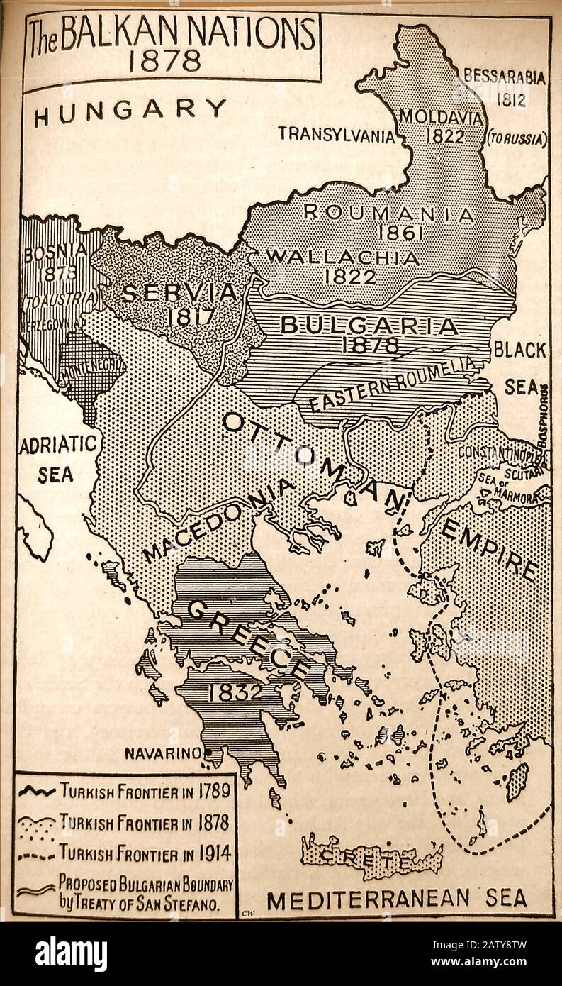 An historic map of the Balkans region in 1878 with dates of each nation. Stock Photohttps://www.alamy.com/image-license-details/?v=1https://www.alamy.com/an-historic-map-of-the-balkans-region-in-1878-with-dates-of-each-nation-image342348409.html
RM2ATY8TW–An historic map of the Balkans region in 1878 with dates of each nation.
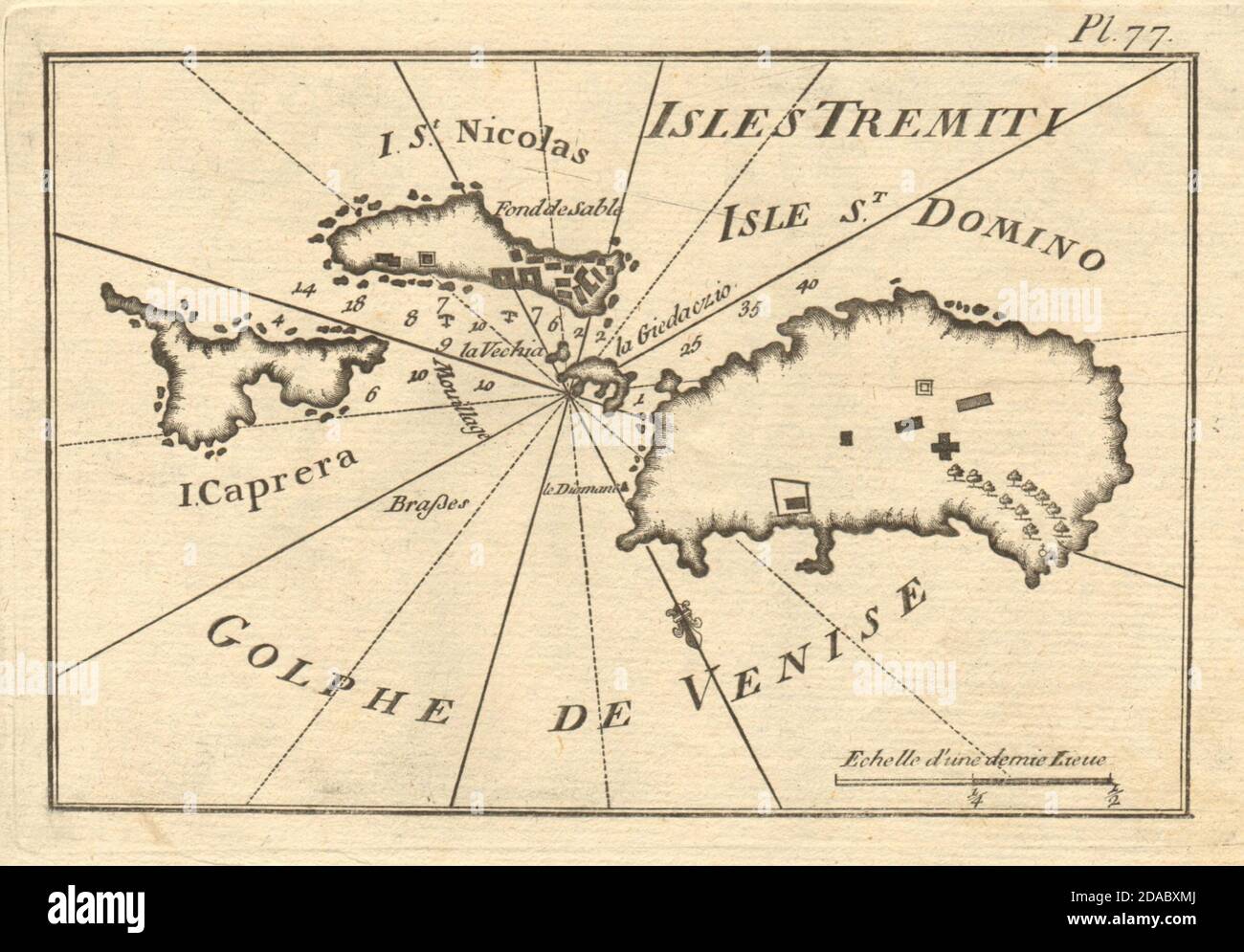 Isole/Iles Tremiti. San Domino San Nicola Capraia. Adriatic Italy. ROUX 1804 map Stock Photohttps://www.alamy.com/image-license-details/?v=1https://www.alamy.com/isoleiles-tremiti-san-domino-san-nicola-capraia-adriatic-italy-roux-1804-map-image385037090.html
RF2DABXMJ–Isole/Iles Tremiti. San Domino San Nicola Capraia. Adriatic Italy. ROUX 1804 map
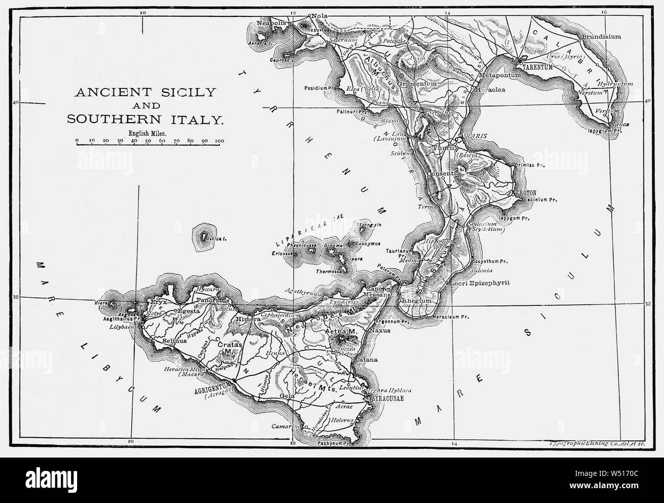 A 19th Century map of Ancient Sicily and Southern Italia (Latin and Italian name for the Italian Peninsula), illustrating the homeland of the Romans and metropole of Rome's empire in classical antiquity. Rome was an Italian city-state that changed its form of government from kingdom to republic and when the consolidation of Italy into a single entity occurred during the Roman expansion in the peninsula, when Rome formed a permanent association with most of the local tribes and cities. Stock Photohttps://www.alamy.com/image-license-details/?v=1https://www.alamy.com/a-19th-century-map-of-ancient-sicily-and-southern-italia-latin-and-italian-name-for-the-italian-peninsula-illustrating-the-homeland-of-the-romans-and-metropole-of-romes-empire-in-classical-antiquity-rome-was-an-italian-city-state-that-changed-its-form-of-government-from-kingdom-to-republic-and-when-the-consolidation-of-italy-into-a-single-entity-occurred-during-the-roman-expansion-in-the-peninsula-when-rome-formed-a-permanent-association-with-most-of-the-local-tribes-and-cities-image261256252.html
RMW5170C–A 19th Century map of Ancient Sicily and Southern Italia (Latin and Italian name for the Italian Peninsula), illustrating the homeland of the Romans and metropole of Rome's empire in classical antiquity. Rome was an Italian city-state that changed its form of government from kingdom to republic and when the consolidation of Italy into a single entity occurred during the Roman expansion in the peninsula, when Rome formed a permanent association with most of the local tribes and cities.
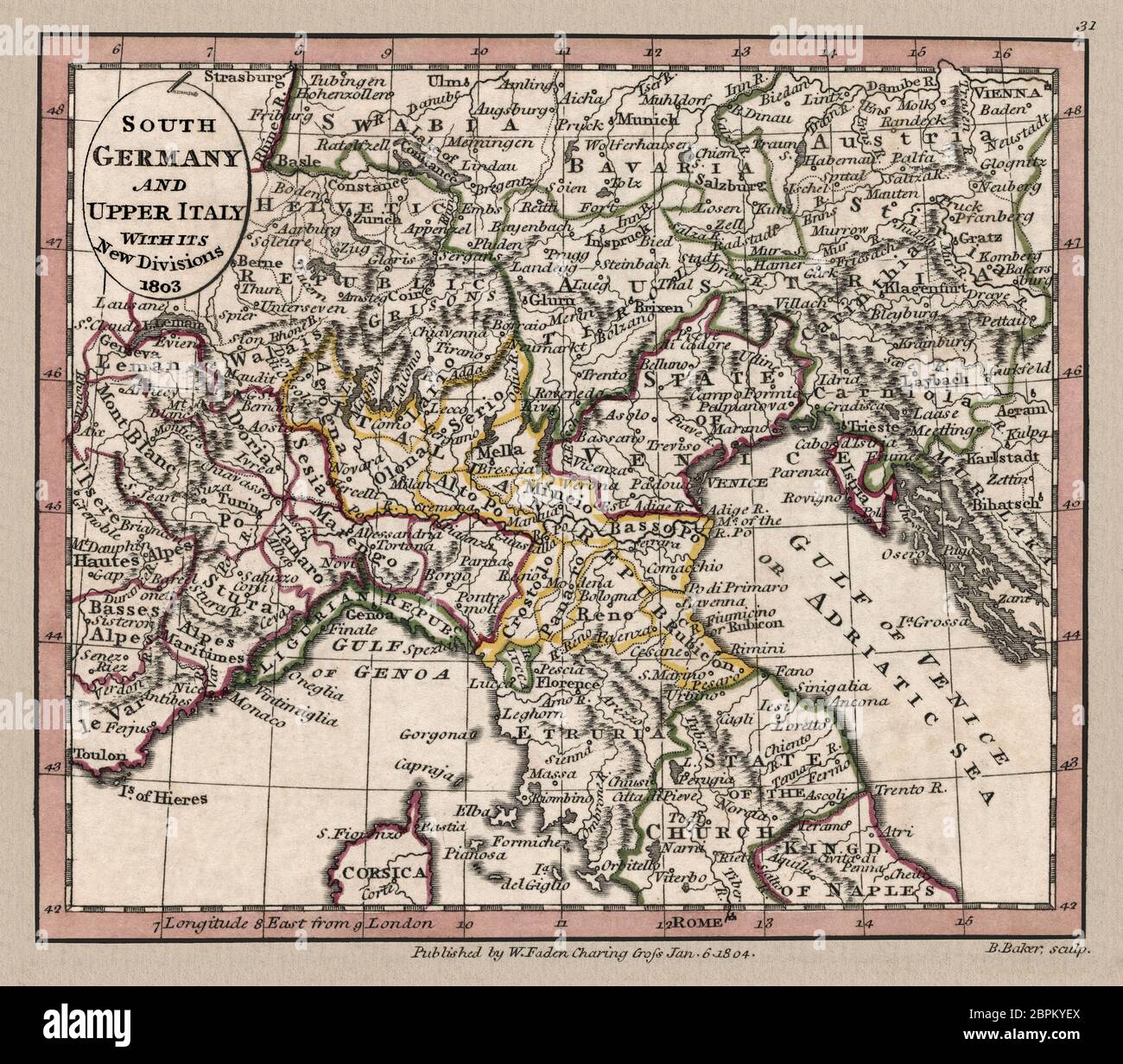 'South Germany and Upper Italy with its new divisions, 1803.' Map shows geographic divisions circa 1803, This is a beautifully detailed historic map reproduction. Original from a British atlas published by famed cartographer William Faden. Stock Photohttps://www.alamy.com/image-license-details/?v=1https://www.alamy.com/south-germany-and-upper-italy-with-its-new-divisions-1803-map-shows-geographic-divisions-circa-1803-this-is-a-beautifully-detailed-historic-map-reproduction-original-from-a-british-atlas-published-by-famed-cartographer-william-faden-image358168466.html
RM2BPKYEX–'South Germany and Upper Italy with its new divisions, 1803.' Map shows geographic divisions circa 1803, This is a beautifully detailed historic map reproduction. Original from a British atlas published by famed cartographer William Faden.
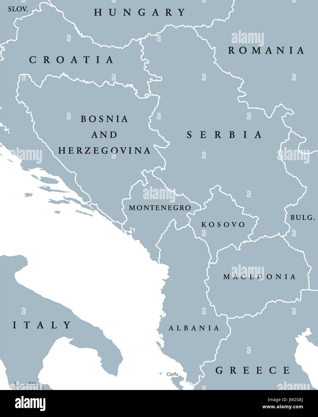 Central Balkan political map with borders. Southeastern countries on the Balkan Peninsula in Europe from Croatia to Greece. Gray illustration. Stock Photohttps://www.alamy.com/image-license-details/?v=1https://www.alamy.com/central-balkan-political-map-with-borders-southeastern-countries-on-image150032922.html
RFJM2GEJ–Central Balkan political map with borders. Southeastern countries on the Balkan Peninsula in Europe from Croatia to Greece. Gray illustration.
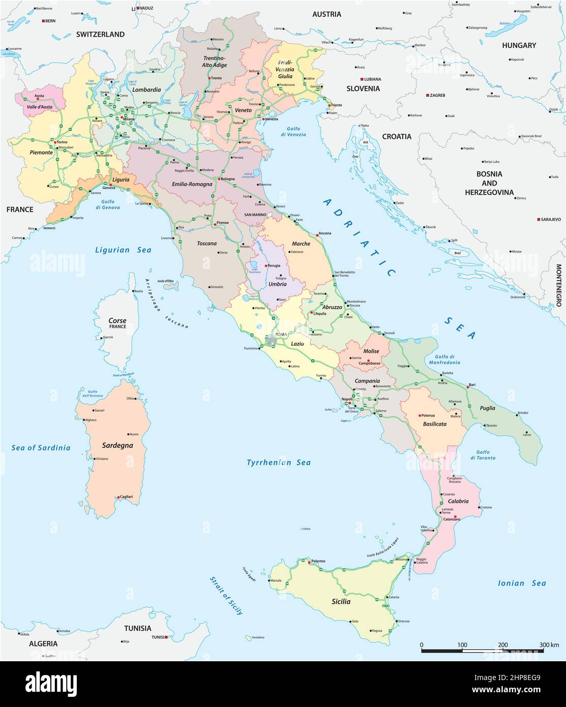 Vector map of the Italian national highway system Stock Vectorhttps://www.alamy.com/image-license-details/?v=1https://www.alamy.com/vector-map-of-the-italian-national-highway-system-image461179049.html
RF2HP8EG9–Vector map of the Italian national highway system
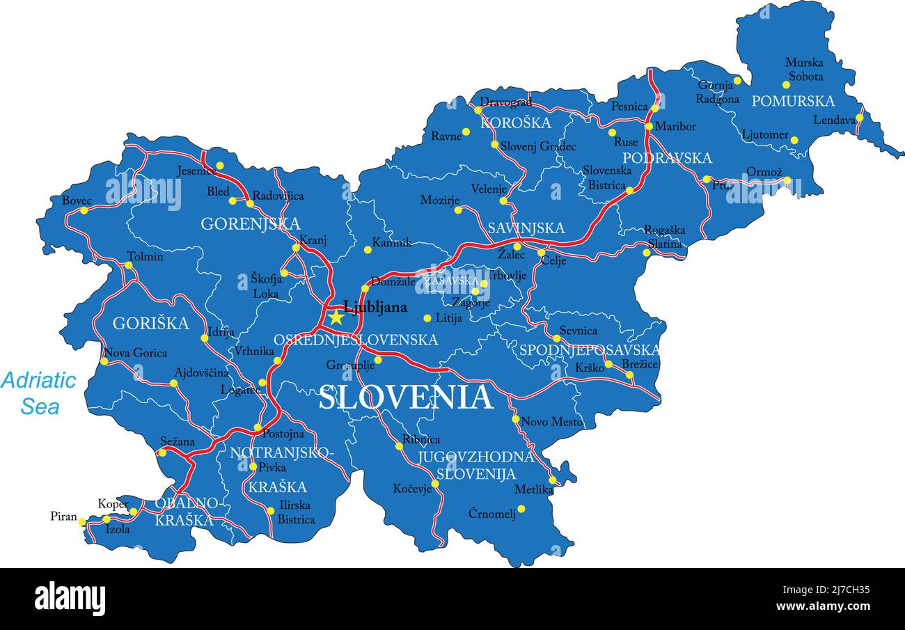 Highly detailed vector map of Slovenia with administrative regions, main cities and roads. Stock Vectorhttps://www.alamy.com/image-license-details/?v=1https://www.alamy.com/highly-detailed-vector-map-of-slovenia-with-administrative-regions-main-cities-and-roads-image469259369.html
RF2J7CH35–Highly detailed vector map of Slovenia with administrative regions, main cities and roads.
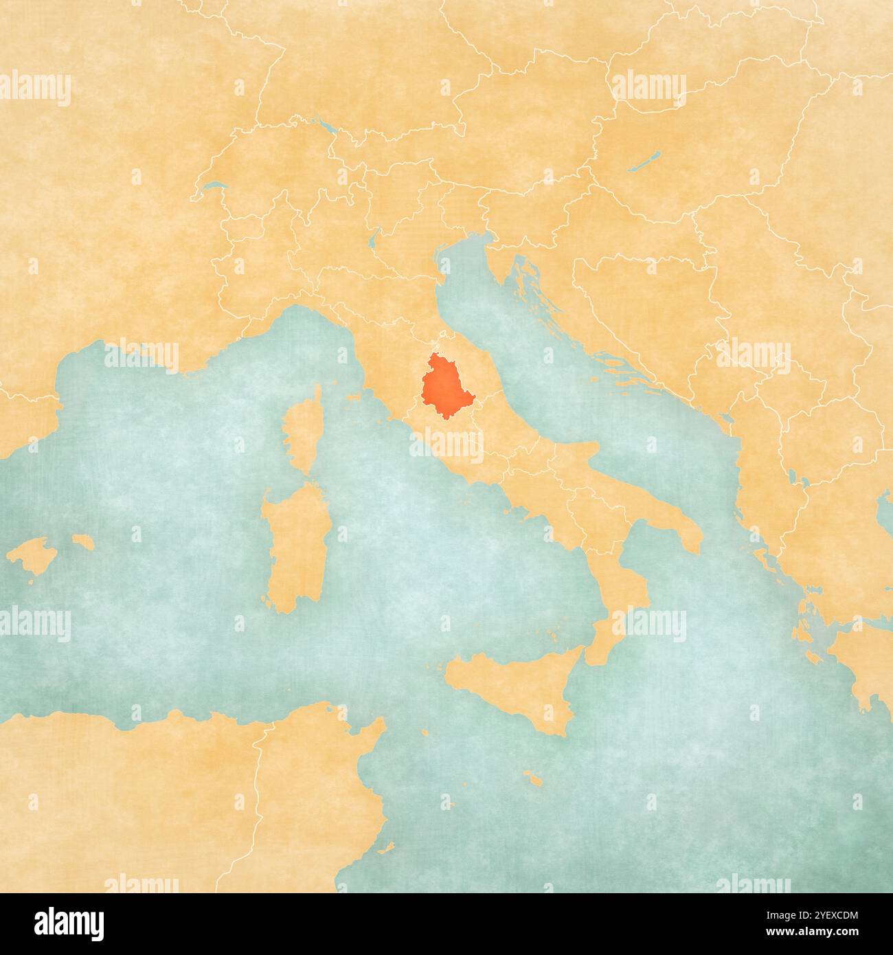 Umbria on the map of Italy in soft grunge and vintage style, like old paper with watercolor painting. Stock Photohttps://www.alamy.com/image-license-details/?v=1https://www.alamy.com/umbria-on-the-map-of-italy-in-soft-grunge-and-vintage-style-like-old-paper-with-watercolor-painting-image628758976.html
RF2YEXCDM–Umbria on the map of Italy in soft grunge and vintage style, like old paper with watercolor painting.
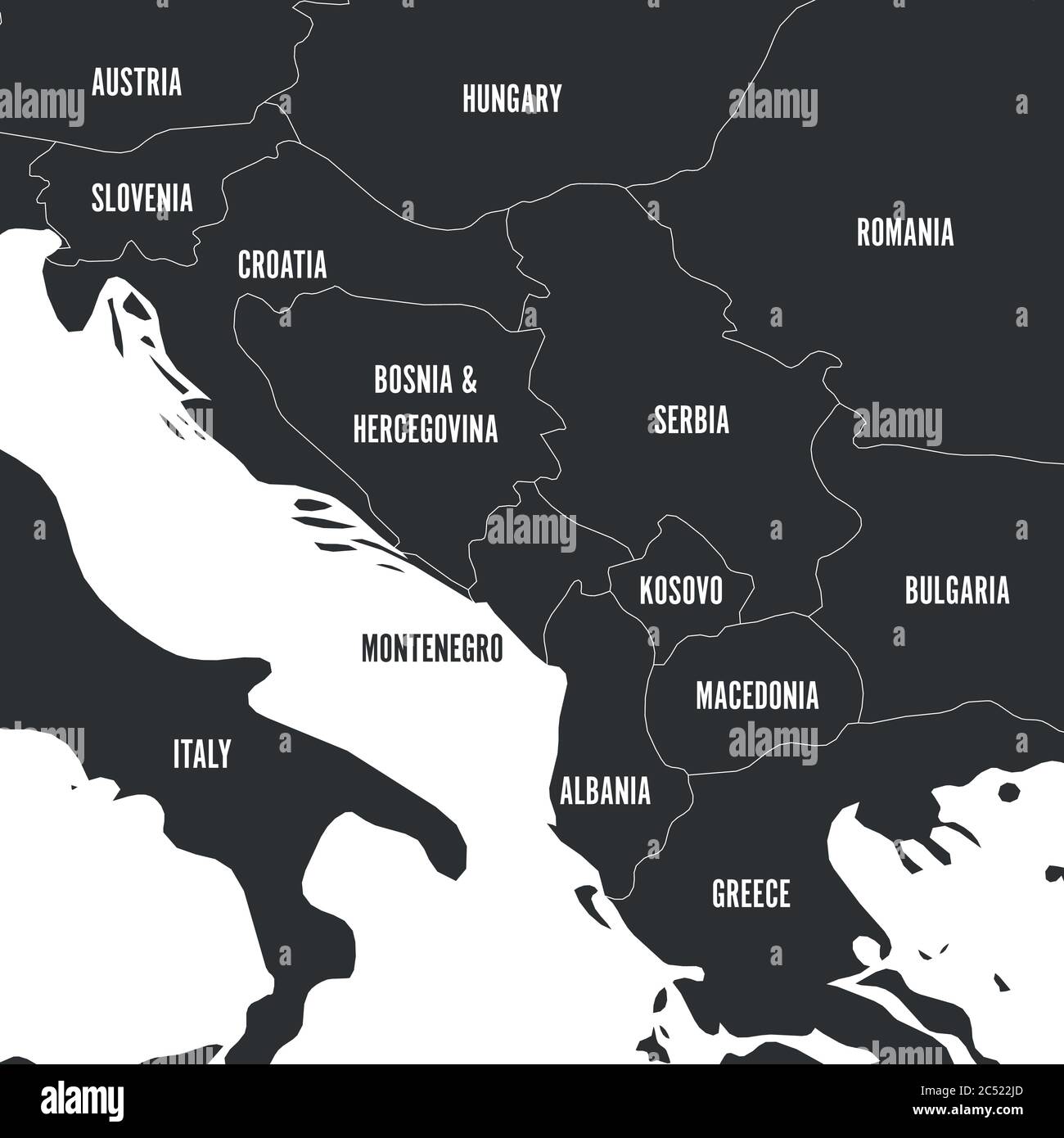 Political map of Balkans - States of Balkan Peninsula in grey. Vector illustration. Stock Vectorhttps://www.alamy.com/image-license-details/?v=1https://www.alamy.com/political-map-of-balkans-states-of-balkan-peninsula-in-grey-vector-illustration-image364536997.html
RF2C522JD–Political map of Balkans - States of Balkan Peninsula in grey. Vector illustration.
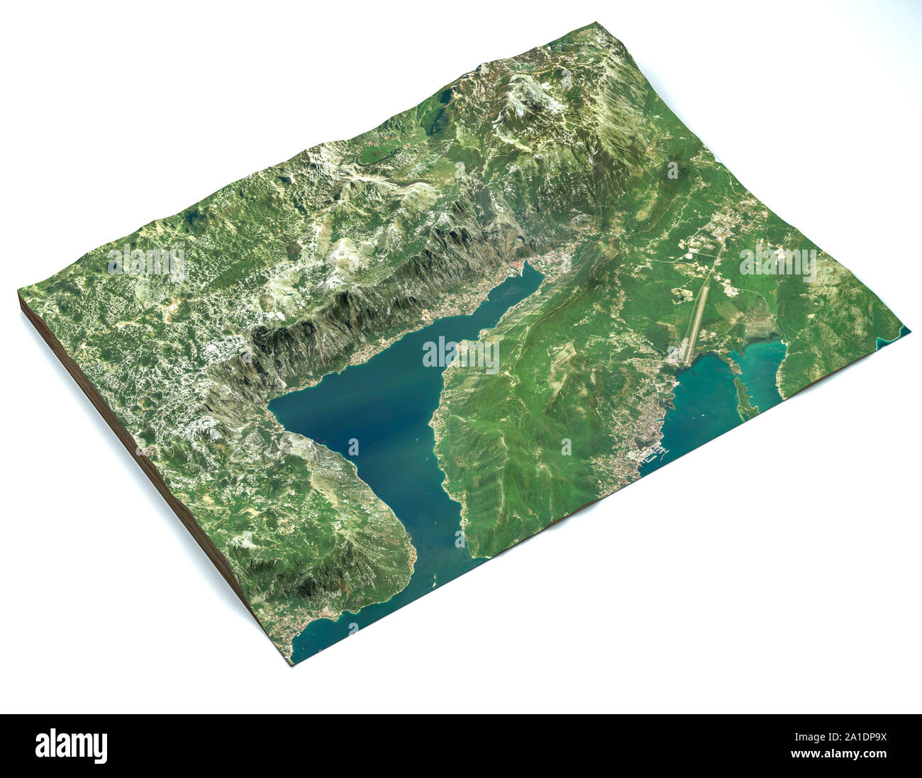 Satellite view of the largest fjord in the Mediterranean. The Bay of Kotor, Boka. 3d render. Section of the fjord. Map Stock Photohttps://www.alamy.com/image-license-details/?v=1https://www.alamy.com/satellite-view-of-the-largest-fjord-in-the-mediterranean-the-bay-of-kotor-boka-3d-render-section-of-the-fjord-map-image327914550.html
RF2A1DP9X–Satellite view of the largest fjord in the Mediterranean. The Bay of Kotor, Boka. 3d render. Section of the fjord. Map
RF2S08GEP–Pixelated world map icons in 8-bit style, featuring over 190 countries. Perfect for digital art, educational projects, and themed designs.
 Dubrovnik. Map of the city before the earthquake of 1667. Croatia. Stock Photohttps://www.alamy.com/image-license-details/?v=1https://www.alamy.com/stock-photo-dubrovnik-map-of-the-city-before-the-earthquake-of-1667-croatia-27234841.html
RMBG8J8W–Dubrovnik. Map of the city before the earthquake of 1667. Croatia.
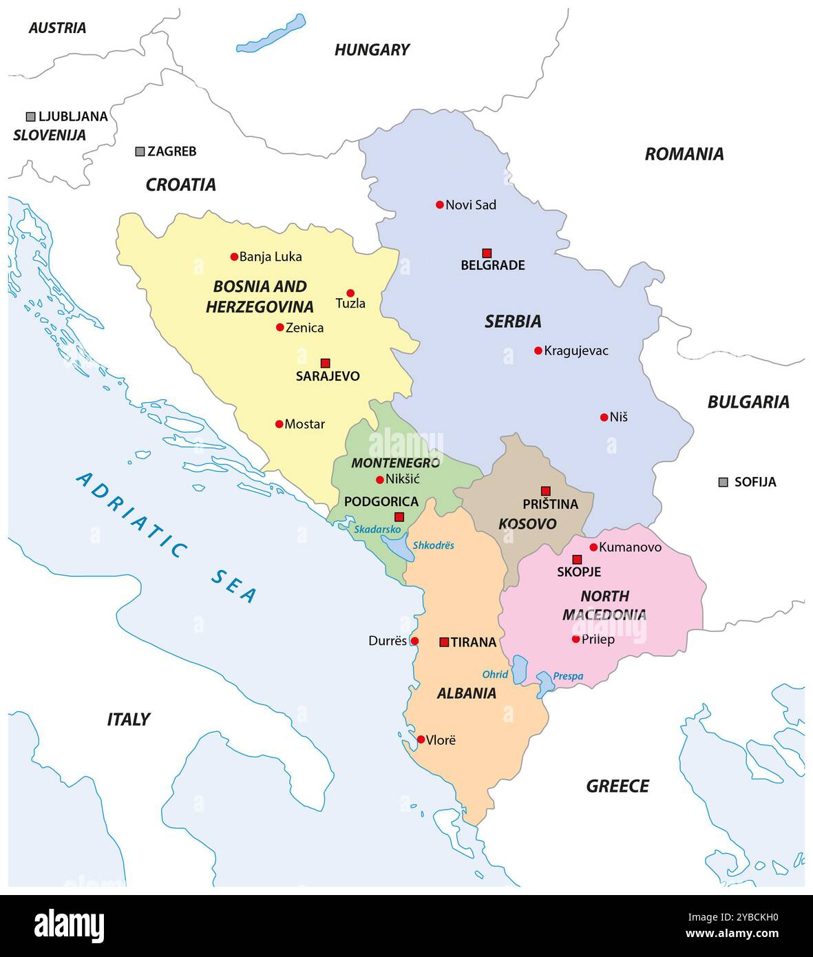 Map of the Western Balkan states Stock Photohttps://www.alamy.com/image-license-details/?v=1https://www.alamy.com/map-of-the-western-balkan-states-image626613260.html
RF2YBCKH0–Map of the Western Balkan states
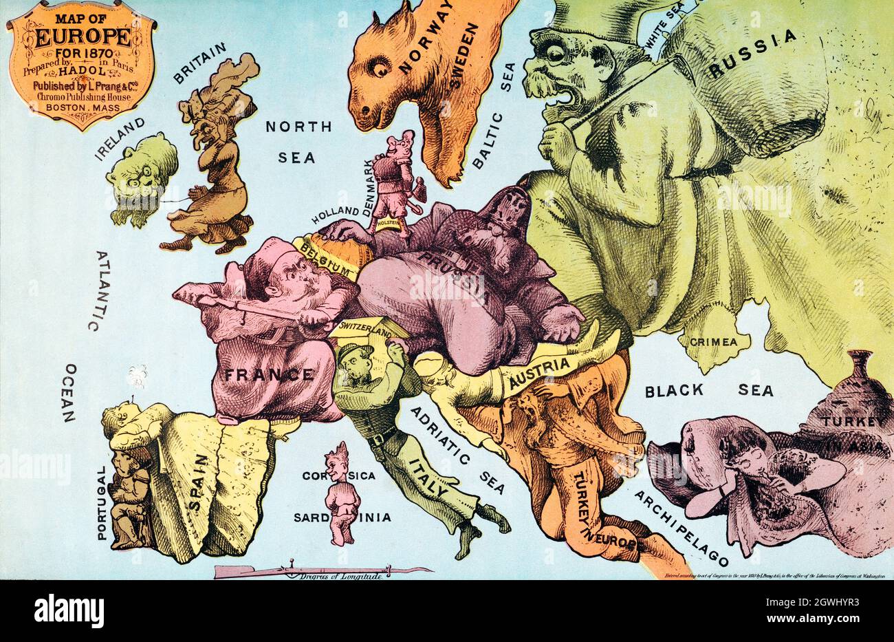 War Map of Europe: As seen through French eyes by Paul Hadol. Satirical map. Stock Photohttps://www.alamy.com/image-license-details/?v=1https://www.alamy.com/war-map-of-europe-as-seen-through-french-eyes-by-paul-hadol-satirical-map-image446020599.html
RF2GWHYR3–War Map of Europe: As seen through French eyes by Paul Hadol. Satirical map.
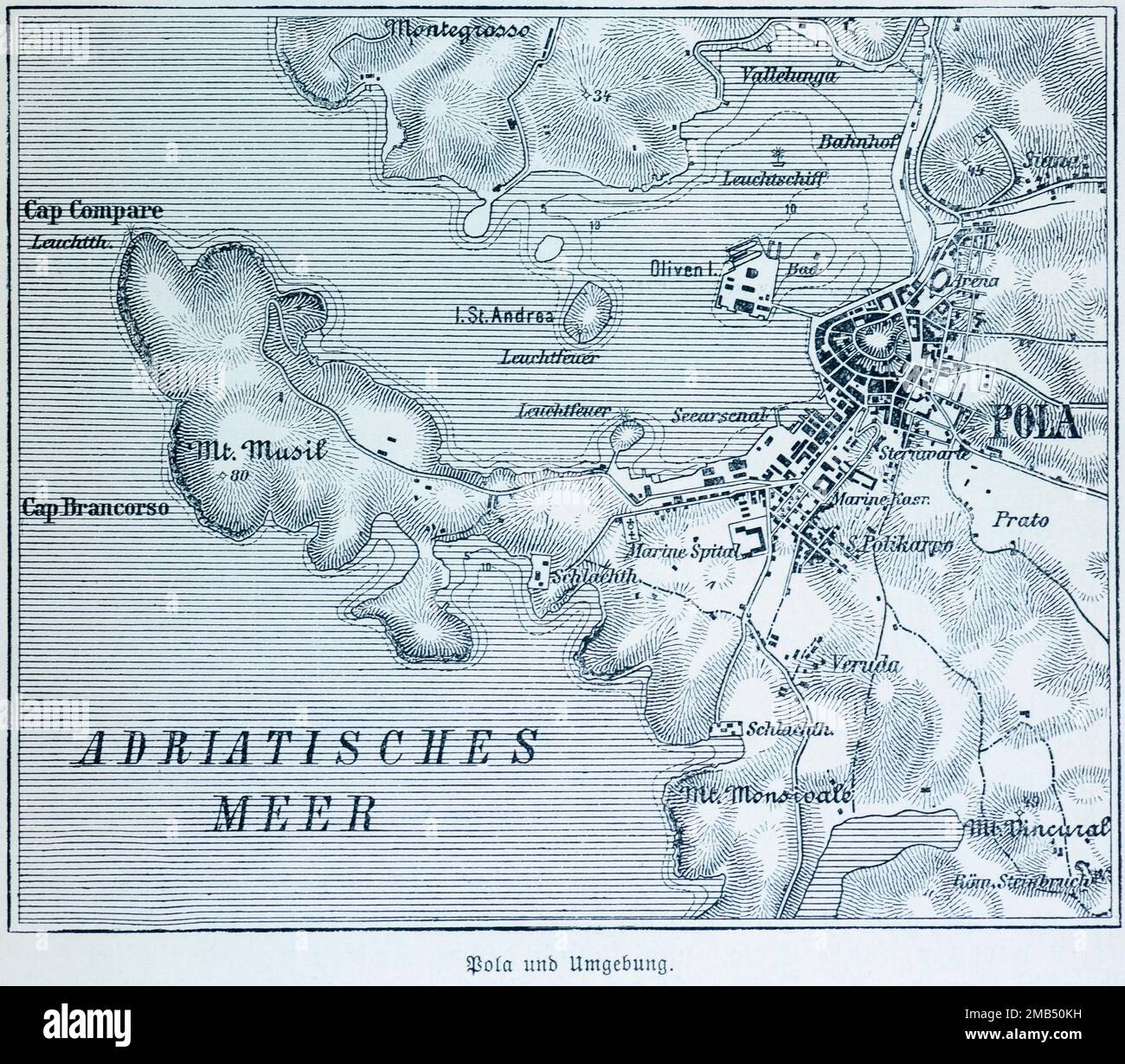 City of Pula, Pola, Croatia, city map and surroundings, districts, bay, cape, Adriatic Sea, olive island, naval hospital, slaughterhouse Stock Photohttps://www.alamy.com/image-license-details/?v=1https://www.alamy.com/city-of-pula-pola-croatia-city-map-and-surroundings-districts-bay-cape-adriatic-sea-olive-island-naval-hospital-slaughterhouse-image505972197.html
RM2MB50KH–City of Pula, Pola, Croatia, city map and surroundings, districts, bay, cape, Adriatic Sea, olive island, naval hospital, slaughterhouse
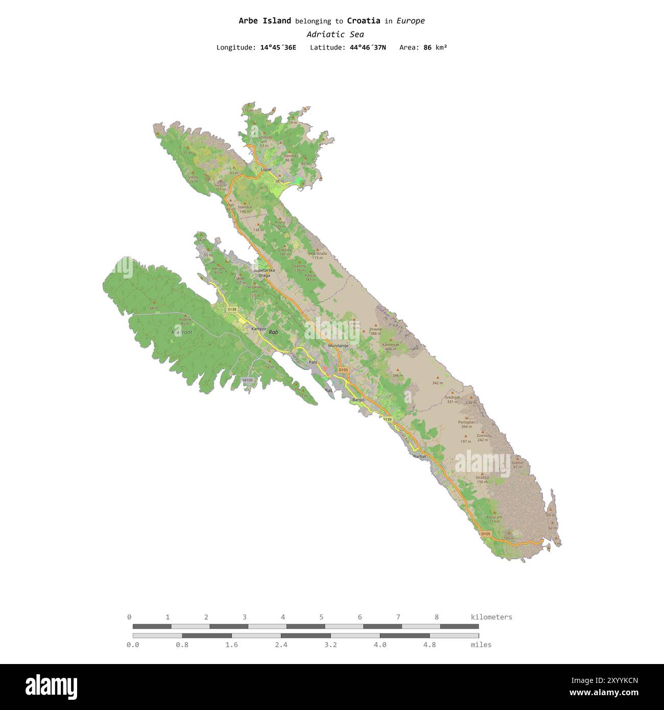 Arbe Island in the Adriatic Sea, belonging to Croatia, isolated on a topographic, OSM standard style map, with distance scale Stock Photohttps://www.alamy.com/image-license-details/?v=1https://www.alamy.com/arbe-island-in-the-adriatic-sea-belonging-to-croatia-isolated-on-a-topographic-osm-standard-style-map-with-distance-scale-image619566549.html
RF2XYYKCN–Arbe Island in the Adriatic Sea, belonging to Croatia, isolated on a topographic, OSM standard style map, with distance scale
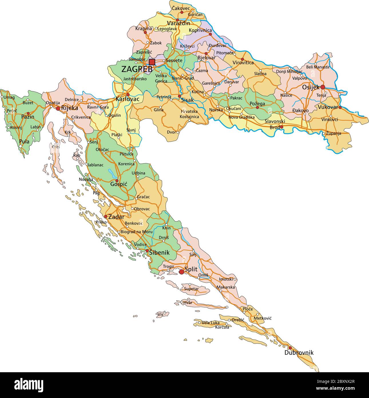 Croatia - Highly detailed editable political map with labeling. Stock Vectorhttps://www.alamy.com/image-license-details/?v=1https://www.alamy.com/croatia-highly-detailed-editable-political-map-with-labeling-image360669871.html
RF2BXNX2R–Croatia - Highly detailed editable political map with labeling.
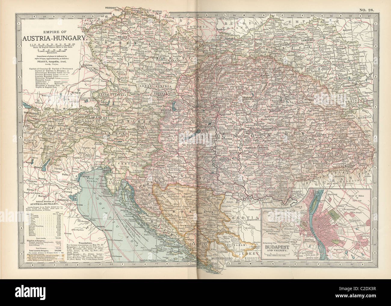 Map of the Empire of Austria-Hungary Stock Photohttps://www.alamy.com/image-license-details/?v=1https://www.alamy.com/stock-photo-map-of-the-empire-of-austria-hungary-35955915.html
RMC2DX3R–Map of the Empire of Austria-Hungary
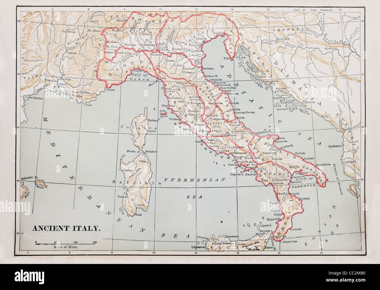 map of ancient Italy from 1896 book Stock Photohttps://www.alamy.com/image-license-details/?v=1https://www.alamy.com/stock-photo-map-of-ancient-italy-from-1896-book-41856500.html
RFCC2MB0–map of ancient Italy from 1896 book
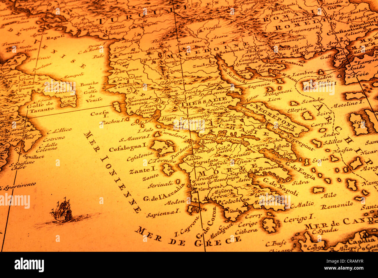 Ancient map of Greece, Macedonia and Southern Italy. Map is from 1680 and is out of copyright. Stock Photohttps://www.alamy.com/image-license-details/?v=1https://www.alamy.com/stock-photo-ancient-map-of-greece-macedonia-and-southern-italy-map-is-from-1680-48793803.html
RFCRAMYR–Ancient map of Greece, Macedonia and Southern Italy. Map is from 1680 and is out of copyright.
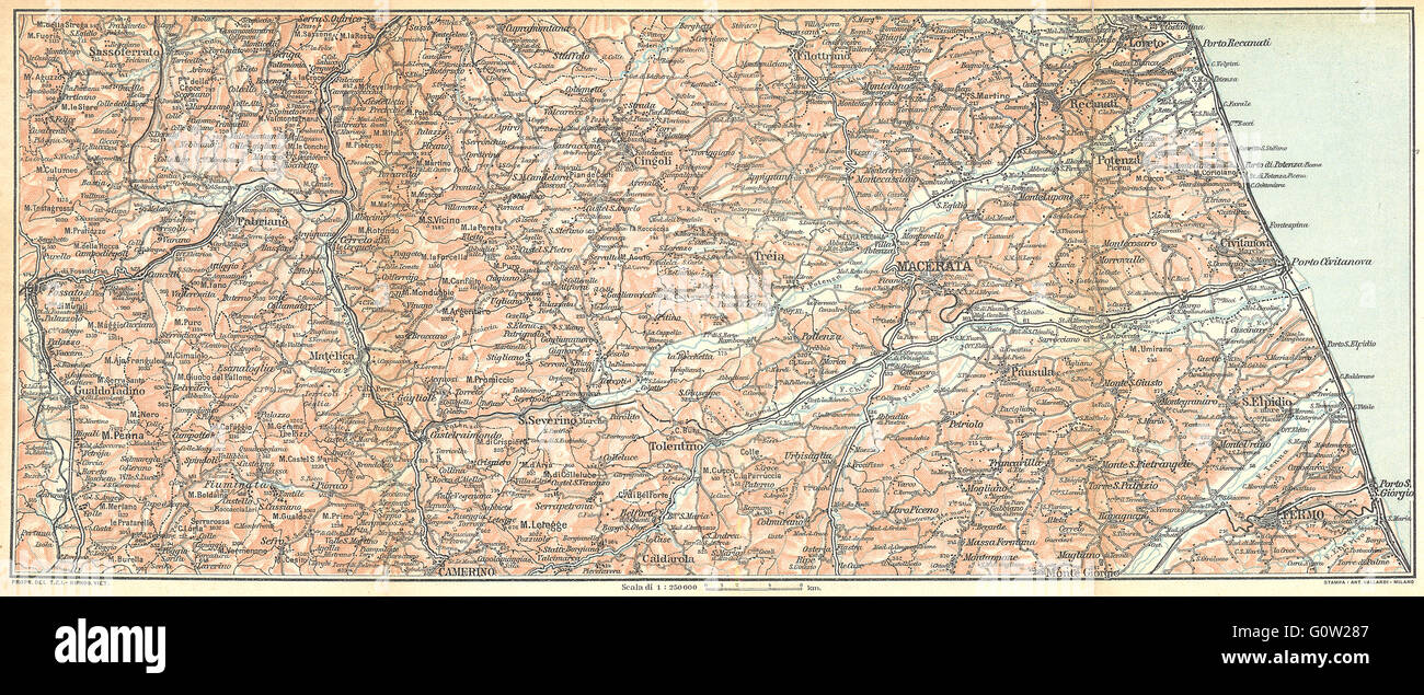 ITALY: Appennines Adriatic; Fabriano, Macecerata, Loreto, Fermo, 1924 old map Stock Photohttps://www.alamy.com/image-license-details/?v=1https://www.alamy.com/stock-photo-italy-appennines-adriatic-fabriano-macecerata-loreto-fermo-1924-old-103812807.html
RFG0W287–ITALY: Appennines Adriatic; Fabriano, Macecerata, Loreto, Fermo, 1924 old map