Aerial photograph of river estuary Stock Photos and Images
(1,000)See aerial photograph of river estuary stock video clipsQuick filters:
Aerial photograph of river estuary Stock Photos and Images
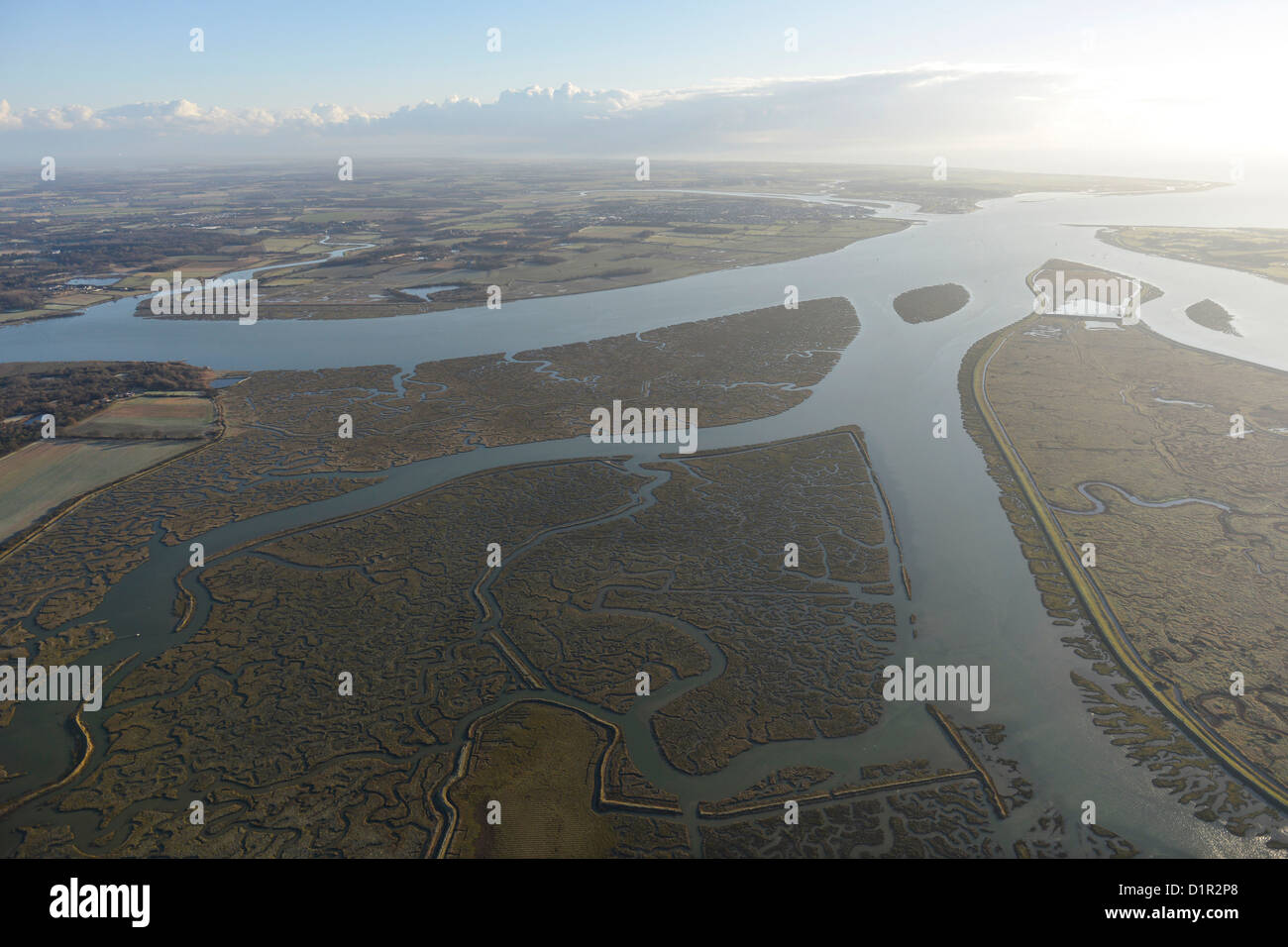 Aerial Photograph showing River estuary and tidal creeks Stock Photohttps://www.alamy.com/image-license-details/?v=1https://www.alamy.com/stock-photo-aerial-photograph-showing-river-estuary-and-tidal-creeks-52752848.html
RFD1R2P8–Aerial Photograph showing River estuary and tidal creeks
 An aerial photograph of the Fylde area and the river Wyre and Estuary, looking towards Fleetwood, North West England, UK Stock Photohttps://www.alamy.com/image-license-details/?v=1https://www.alamy.com/an-aerial-photograph-of-the-fylde-area-and-the-river-wyre-and-estuary-looking-towards-fleetwood-north-west-england-uk-image572686288.html
RF2T7M35M–An aerial photograph of the Fylde area and the river Wyre and Estuary, looking towards Fleetwood, North West England, UK
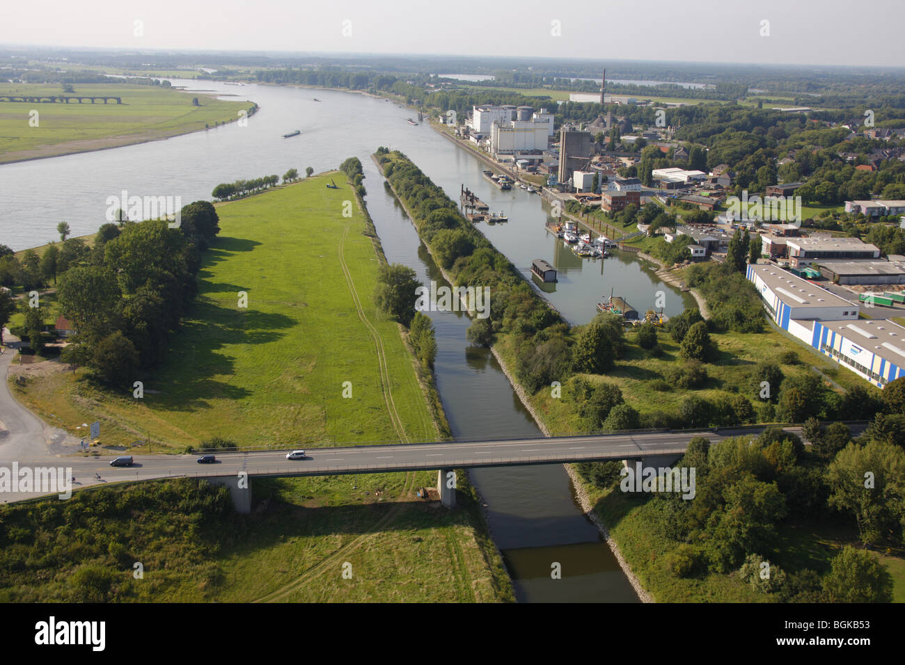 Aerial photo, Lippe river estuary, Wesel, Huenxe, Rhine river, port, North Rhine-Westphalia, Ruhr, Germany Europe Stock Photohttps://www.alamy.com/image-license-details/?v=1https://www.alamy.com/stock-photo-aerial-photo-lippe-river-estuary-wesel-huenxe-rhine-river-port-north-27470719.html
RMBGKB53–Aerial photo, Lippe river estuary, Wesel, Huenxe, Rhine river, port, North Rhine-Westphalia, Ruhr, Germany Europe
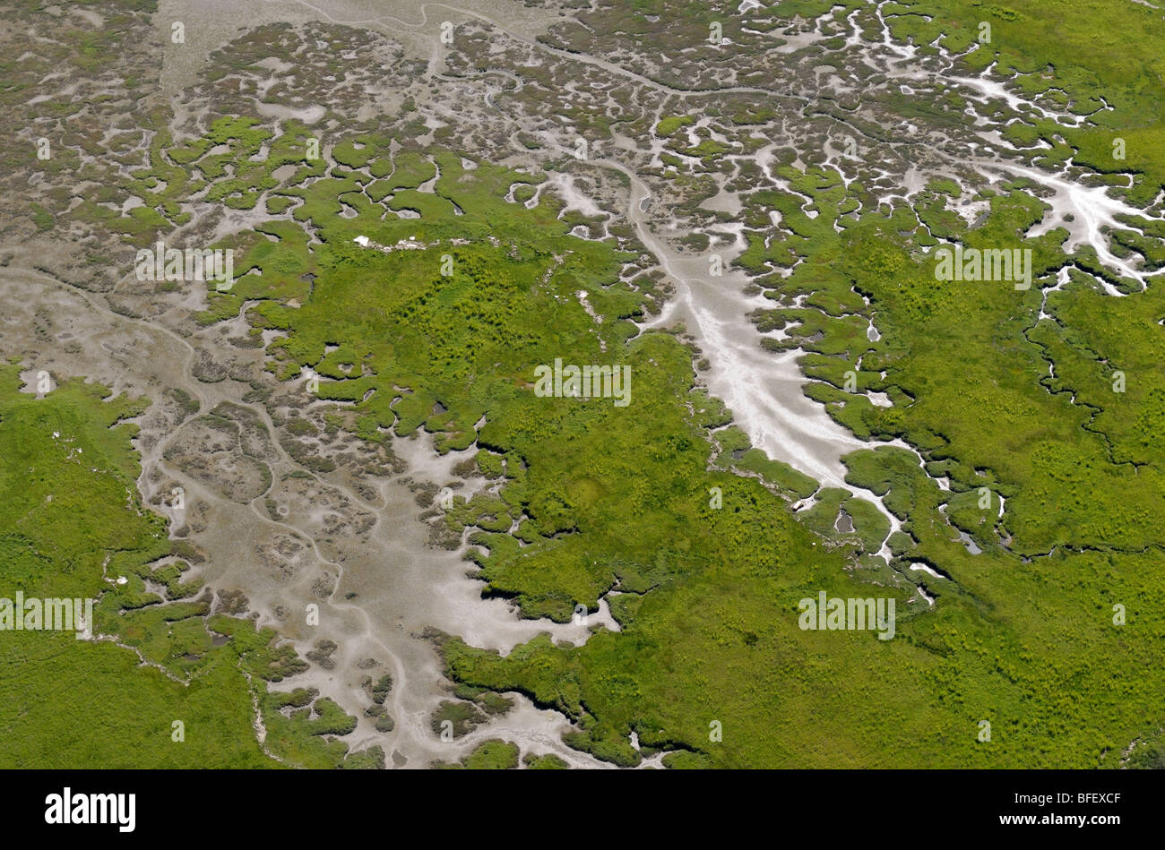 Aerial photograph of the Chemainus River Estuary, Vancouver Island, British Columbia, Canada. Stock Photohttps://www.alamy.com/image-license-details/?v=1https://www.alamy.com/stock-photo-aerial-photograph-of-the-chemainus-river-estuary-vancouver-island-26758271.html
RMBFEXCF–Aerial photograph of the Chemainus River Estuary, Vancouver Island, British Columbia, Canada.
 Aerial photograph, Rheinbogen near Wesel, Lippe river, Lippe estuary, DeltaPort GmbH & Co. KG, Fusternberg, Wesel, Ruhr area, Lower Rhine, North Rhine Stock Photohttps://www.alamy.com/image-license-details/?v=1https://www.alamy.com/aerial-photograph-rheinbogen-near-wesel-lippe-river-lippe-estuary-deltaport-gmbh-co-kg-fusternberg-wesel-ruhr-area-lower-rhine-north-rhine-image223901830.html
RMR07H1X–Aerial photograph, Rheinbogen near Wesel, Lippe river, Lippe estuary, DeltaPort GmbH & Co. KG, Fusternberg, Wesel, Ruhr area, Lower Rhine, North Rhine
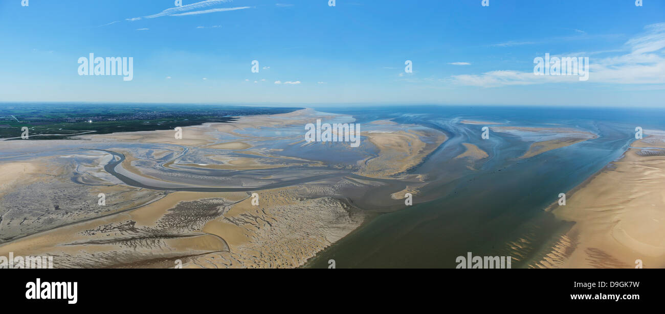 Aerial panorama of the Ribble Estuary Stock Photohttps://www.alamy.com/image-license-details/?v=1https://www.alamy.com/stock-photo-aerial-panorama-of-the-ribble-estuary-57529357.html
RFD9GK7W–Aerial panorama of the Ribble Estuary
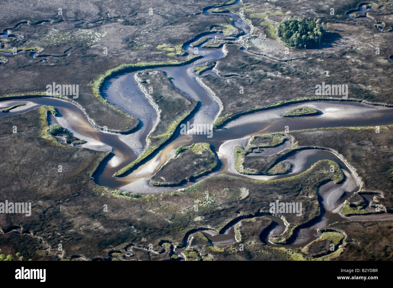 Aerial photograph of Crystal River in northwestern Florida; one of the few undeveloped areas in the state and a manatee refuge. Stock Photohttps://www.alamy.com/image-license-details/?v=1https://www.alamy.com/stock-photo-aerial-photograph-of-crystal-river-in-northwestern-florida-one-of-19042907.html
RMB2YDBR–Aerial photograph of Crystal River in northwestern Florida; one of the few undeveloped areas in the state and a manatee refuge.
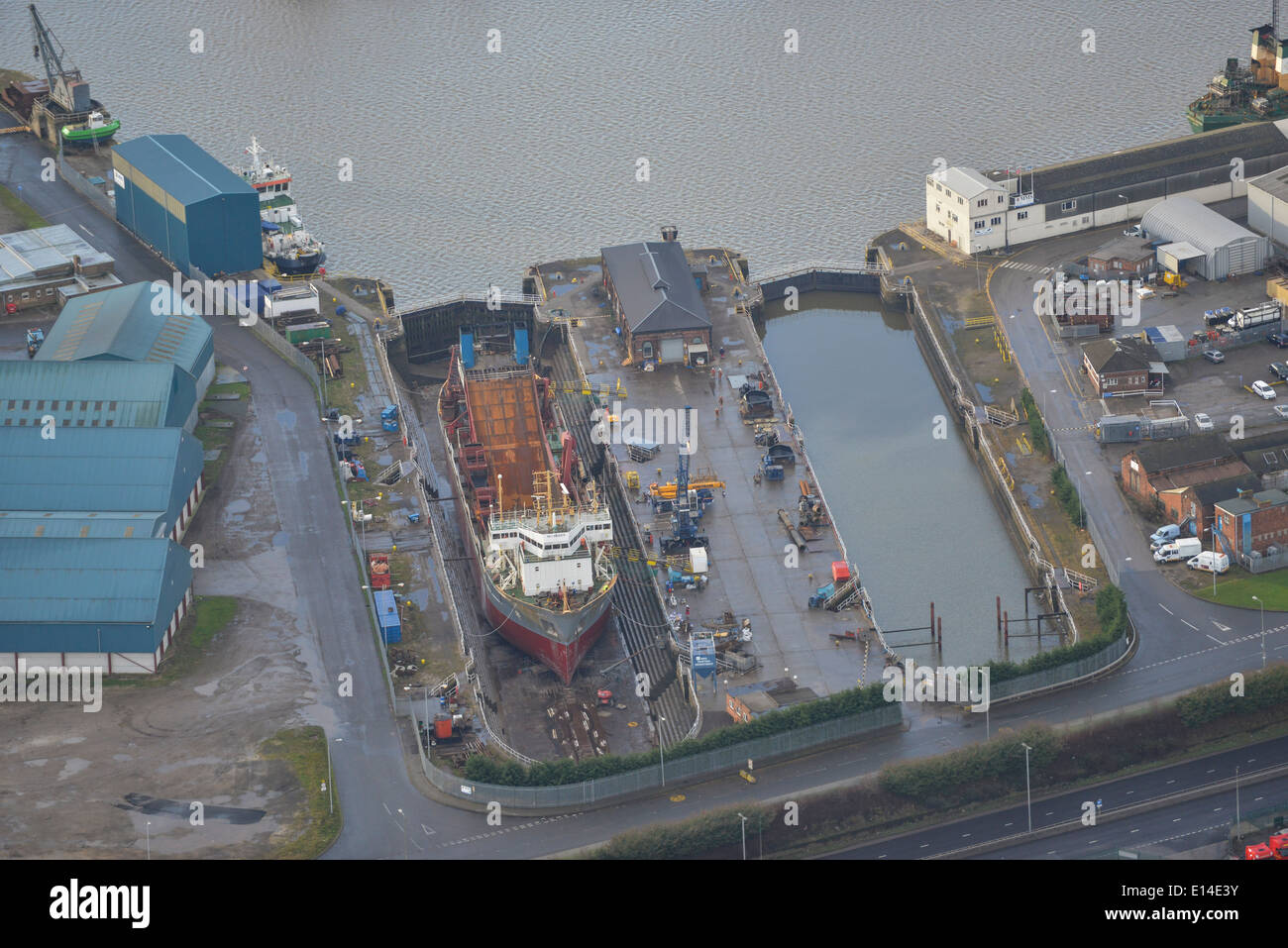 Aerial photograph of Alexandra Dock, Hull. Stock Photohttps://www.alamy.com/image-license-details/?v=1https://www.alamy.com/aerial-photograph-of-alexandra-dock-hull-image69555023.html
RFE14E3Y–Aerial photograph of Alexandra Dock, Hull.
 Aerial photograph of the Gamtoos River Estuary and distant Baviaanskloof Mountains on the horizon. Stock Photohttps://www.alamy.com/image-license-details/?v=1https://www.alamy.com/aerial-photograph-of-the-gamtoos-river-estuary-and-distant-baviaanskloof-mountains-on-the-horizon-image575200560.html
RM2TBPJ54–Aerial photograph of the Gamtoos River Estuary and distant Baviaanskloof Mountains on the horizon.
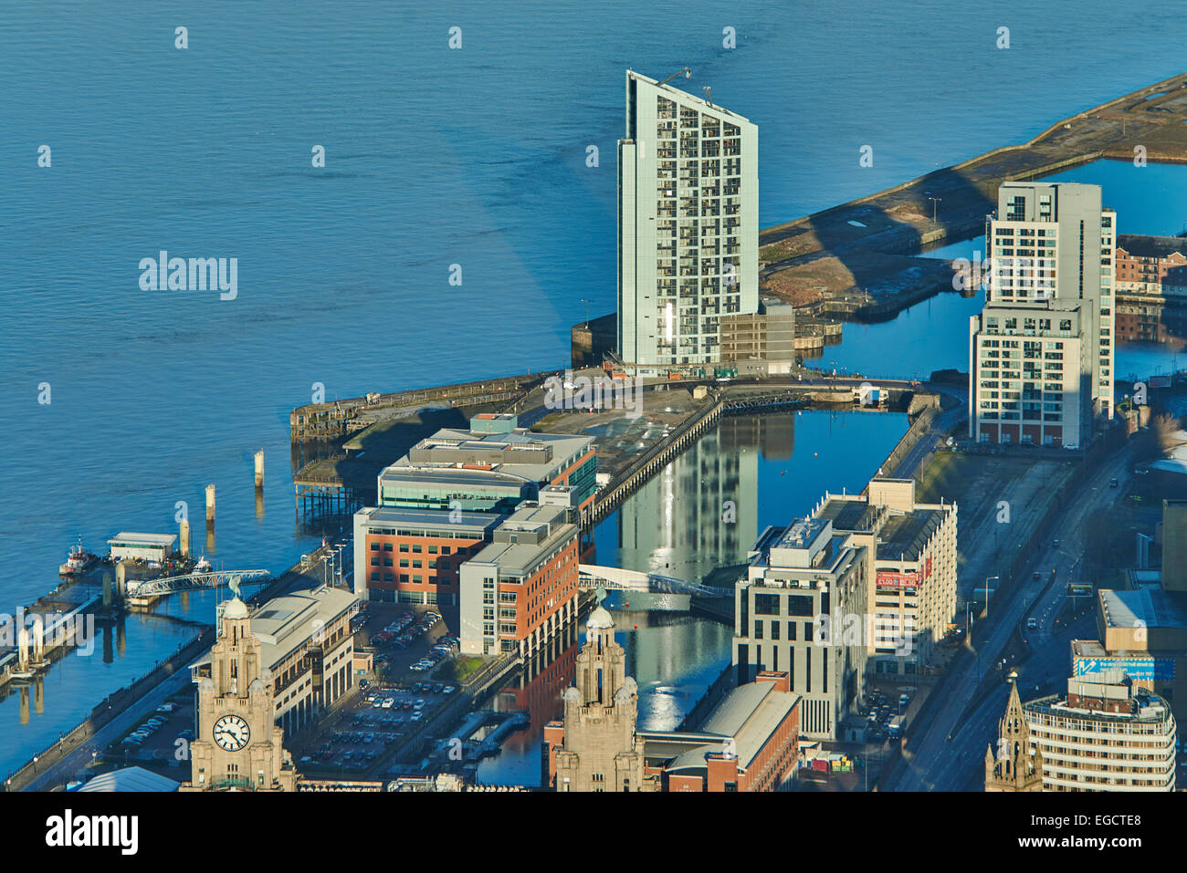 Aerial photograph of Princes Dock and neighbouring buildings, Liverpool Stock Photohttps://www.alamy.com/image-license-details/?v=1https://www.alamy.com/stock-photo-aerial-photograph-of-princes-dock-and-neighbouring-buildings-liverpool-78958608.html
RMEGCTE8–Aerial photograph of Princes Dock and neighbouring buildings, Liverpool
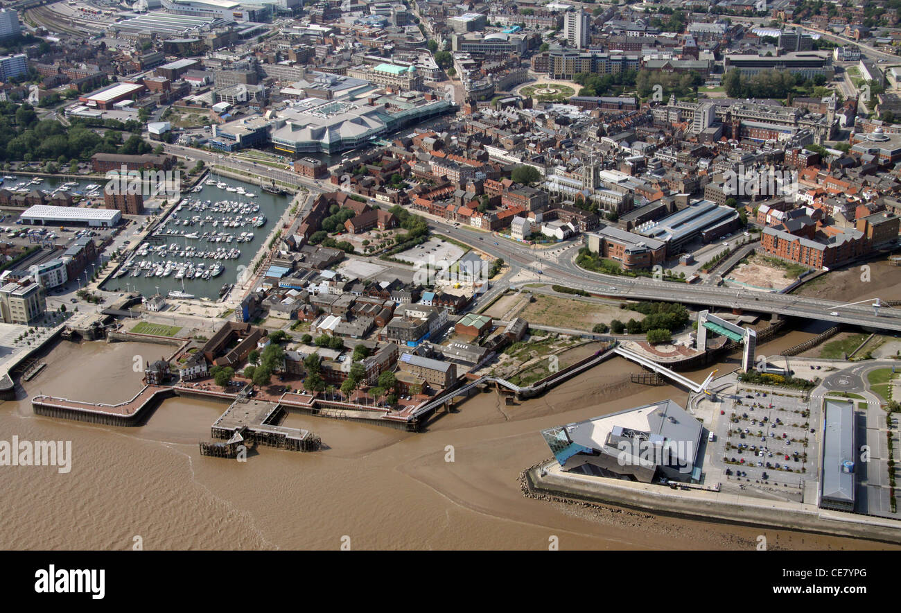 Aerial photograph of Hull from over the Humber Estuary showing The Deep and Hull Marina plus the city centre Stock Photohttps://www.alamy.com/image-license-details/?v=1https://www.alamy.com/stock-photo-aerial-photograph-of-hull-from-over-the-humber-estuary-showing-the-43201384.html
RMCE7YPG–Aerial photograph of Hull from over the Humber Estuary showing The Deep and Hull Marina plus the city centre
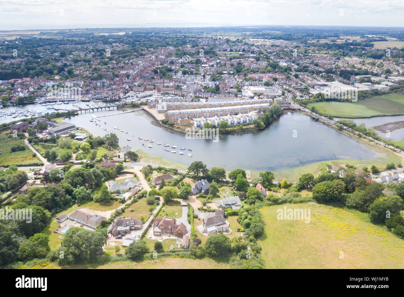 Lymington estuary from the air Stock Photohttps://www.alamy.com/image-license-details/?v=1https://www.alamy.com/lymington-estuary-from-the-air-image269257727.html
RFWJ1MYB–Lymington estuary from the air
 Waiwera River and Waiwera, North Auckland, North Island, New Zealand - aerial Stock Photohttps://www.alamy.com/image-license-details/?v=1https://www.alamy.com/stock-photo-waiwera-river-and-waiwera-north-auckland-north-island-new-zealand-86797677.html
RMF15Y91–Waiwera River and Waiwera, North Auckland, North Island, New Zealand - aerial
 Aerial view of the River Urr estuary, at Palnackie with Kippford in the distance, Kirkcudbrightshire, Dumfries & Galloway, Scotland. Stock Photohttps://www.alamy.com/image-license-details/?v=1https://www.alamy.com/aerial-view-of-the-river-urr-estuary-at-palnackie-with-kippford-in-the-distance-kirkcudbrightshire-dumfries-galloway-scotland-image367149484.html
RM2C992WG–Aerial view of the River Urr estuary, at Palnackie with Kippford in the distance, Kirkcudbrightshire, Dumfries & Galloway, Scotland.
 Aerial view, Emscher river estuary, Rhine river, flood, floodplain, reconstruction, Dinslaken, Ruhrgebiet region Stock Photohttps://www.alamy.com/image-license-details/?v=1https://www.alamy.com/stock-photo-aerial-view-emscher-river-estuary-rhine-river-flood-floodplain-reconstruction-34031830.html
RMBYA7XE–Aerial view, Emscher river estuary, Rhine river, flood, floodplain, reconstruction, Dinslaken, Ruhrgebiet region
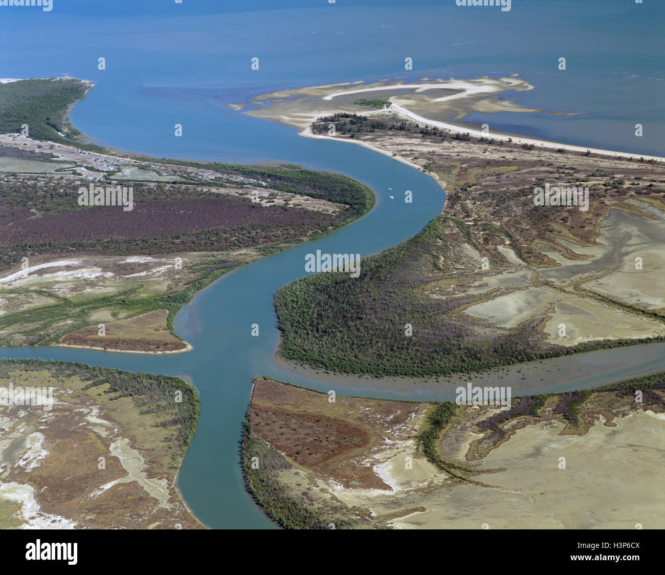 Tidal river flowing into the Gulf of Carpentaria, Stock Photohttps://www.alamy.com/image-license-details/?v=1https://www.alamy.com/stock-photo-tidal-river-flowing-into-the-gulf-of-carpentaria-122804554.html
RMH3P6CX–Tidal river flowing into the Gulf of Carpentaria,
 Aerial view, estuary of the Emscher river into the Rhine river, Dinslaken, Ruhrgebiet region, North Rhine-Westphalia Stock Photohttps://www.alamy.com/image-license-details/?v=1https://www.alamy.com/stock-photo-aerial-view-estuary-of-the-emscher-river-into-the-rhine-river-dinslaken-35080185.html
RMC1213N–Aerial view, estuary of the Emscher river into the Rhine river, Dinslaken, Ruhrgebiet region, North Rhine-Westphalia
 Aerial photograph of the estuary at Goldstream Provincial Park, Vancouver Island, British Columbia, Canada. Stock Photohttps://www.alamy.com/image-license-details/?v=1https://www.alamy.com/stock-photo-aerial-photograph-of-the-estuary-at-goldstream-provincial-park-vancouver-26758164.html
RMBFEX8M–Aerial photograph of the estuary at Goldstream Provincial Park, Vancouver Island, British Columbia, Canada.
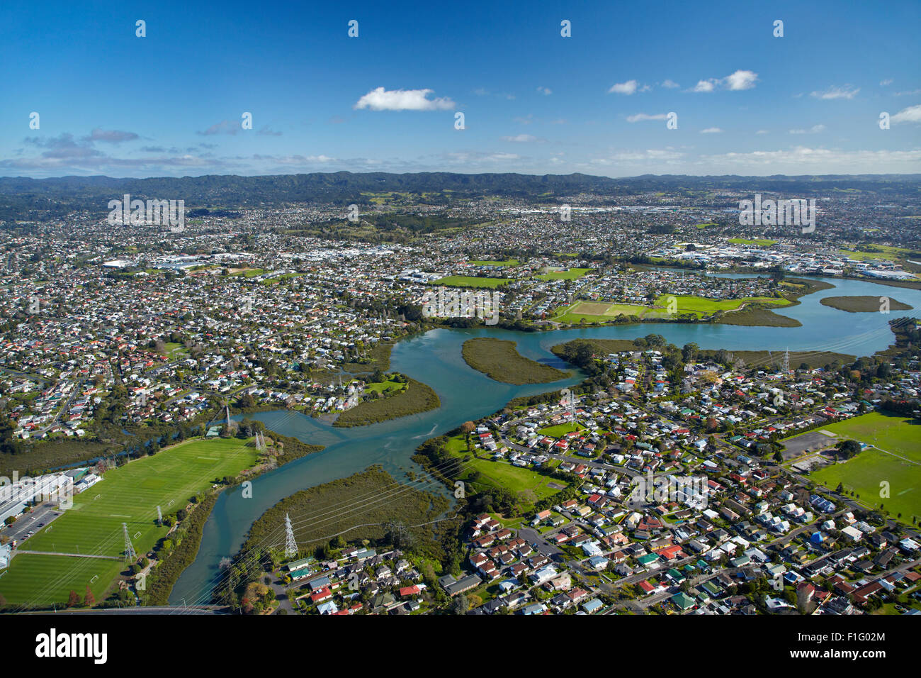 Whau River, Avondale, Auckland, North Island, New Zealand - aerial Stock Photohttps://www.alamy.com/image-license-details/?v=1https://www.alamy.com/stock-photo-whau-river-avondale-auckland-north-island-new-zealand-aerial-87017804.html
RMF1G02M–Whau River, Avondale, Auckland, North Island, New Zealand - aerial
 Aerial view of tidal flats at the mouth of the Skagit River, near La Conner, Washington, USA Stock Photohttps://www.alamy.com/image-license-details/?v=1https://www.alamy.com/aerial-view-of-tidal-flats-at-the-mouth-of-the-skagit-river-near-la-conner-washington-usa-image628662180.html
RM2YEP10M–Aerial view of tidal flats at the mouth of the Skagit River, near La Conner, Washington, USA
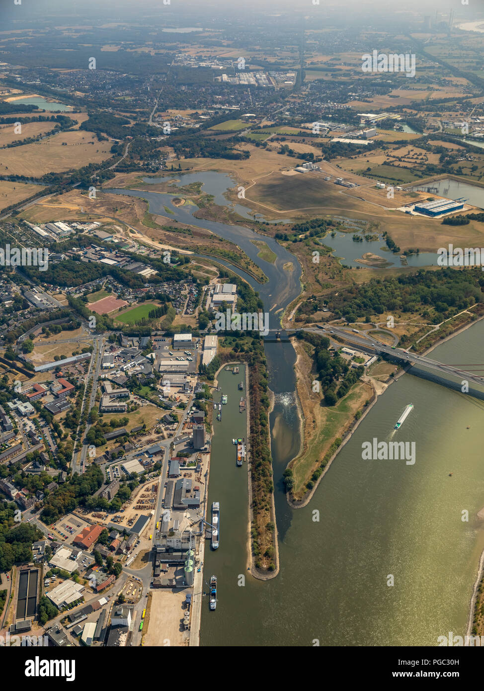 Neue Lippedelta, Lippemündung, River Lippe, Rhine river, Lippeverband, Wesel, Ruhr Area, Nordrhein-Westfalen, Germany, DEU, Europa, aerial photograph, Stock Photohttps://www.alamy.com/image-license-details/?v=1https://www.alamy.com/neue-lippedelta-lippemndung-river-lippe-rhine-river-lippeverband-wesel-ruhr-area-nordrhein-westfalen-germany-deu-europa-aerial-photograph-image216624705.html
RMPGC30H–Neue Lippedelta, Lippemündung, River Lippe, Rhine river, Lippeverband, Wesel, Ruhr Area, Nordrhein-Westfalen, Germany, DEU, Europa, aerial photograph,
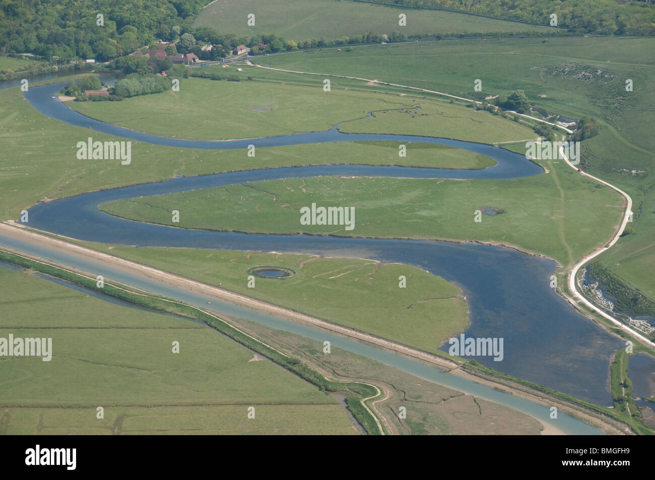 aerial photograph of Cuckmere haven, east Sussex, England Stock Photohttps://www.alamy.com/image-license-details/?v=1https://www.alamy.com/stock-photo-aerial-photograph-of-cuckmere-haven-east-sussex-england-29866965.html
RMBMGFH9–aerial photograph of Cuckmere haven, east Sussex, England
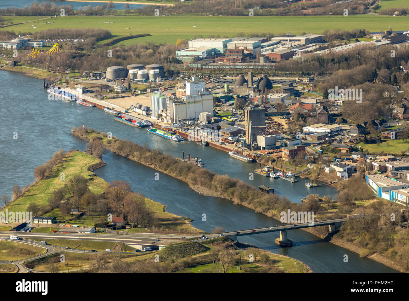 New Lippe estuary delta, reconstruction Lippeverband, Lippe River in Wesel in NRW. Wesel, Rhineland, Hanseatic City, Lower Rhine, North Rhine-Westphal Stock Photohttps://www.alamy.com/image-license-details/?v=1https://www.alamy.com/new-lippe-estuary-delta-reconstruction-lippeverband-lippe-river-in-wesel-in-nrw-wesel-rhineland-hanseatic-city-lower-rhine-north-rhine-westphal-image217414664.html
RMPHM2HC–New Lippe estuary delta, reconstruction Lippeverband, Lippe River in Wesel in NRW. Wesel, Rhineland, Hanseatic City, Lower Rhine, North Rhine-Westphal
 Estuary along Puget Sound Stock Photohttps://www.alamy.com/image-license-details/?v=1https://www.alamy.com/stock-photo-estuary-along-puget-sound-53457245.html
RMD2Y579–Estuary along Puget Sound
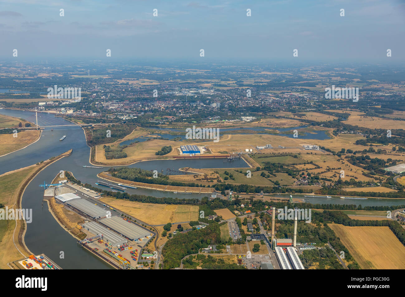 Neue Lippedelta, Lippemündung, River Lippe, Rhine river, Lippeverband, Wesel, Ruhr Area, Nordrhein-Westfalen, Germany, DEU, Europa, aerial photograph, Stock Photohttps://www.alamy.com/image-license-details/?v=1https://www.alamy.com/neue-lippedelta-lippemndung-river-lippe-rhine-river-lippeverband-wesel-ruhr-area-nordrhein-westfalen-germany-deu-europa-aerial-photograph-image216624704.html
RMPGC30G–Neue Lippedelta, Lippemündung, River Lippe, Rhine river, Lippeverband, Wesel, Ruhr Area, Nordrhein-Westfalen, Germany, DEU, Europa, aerial photograph,
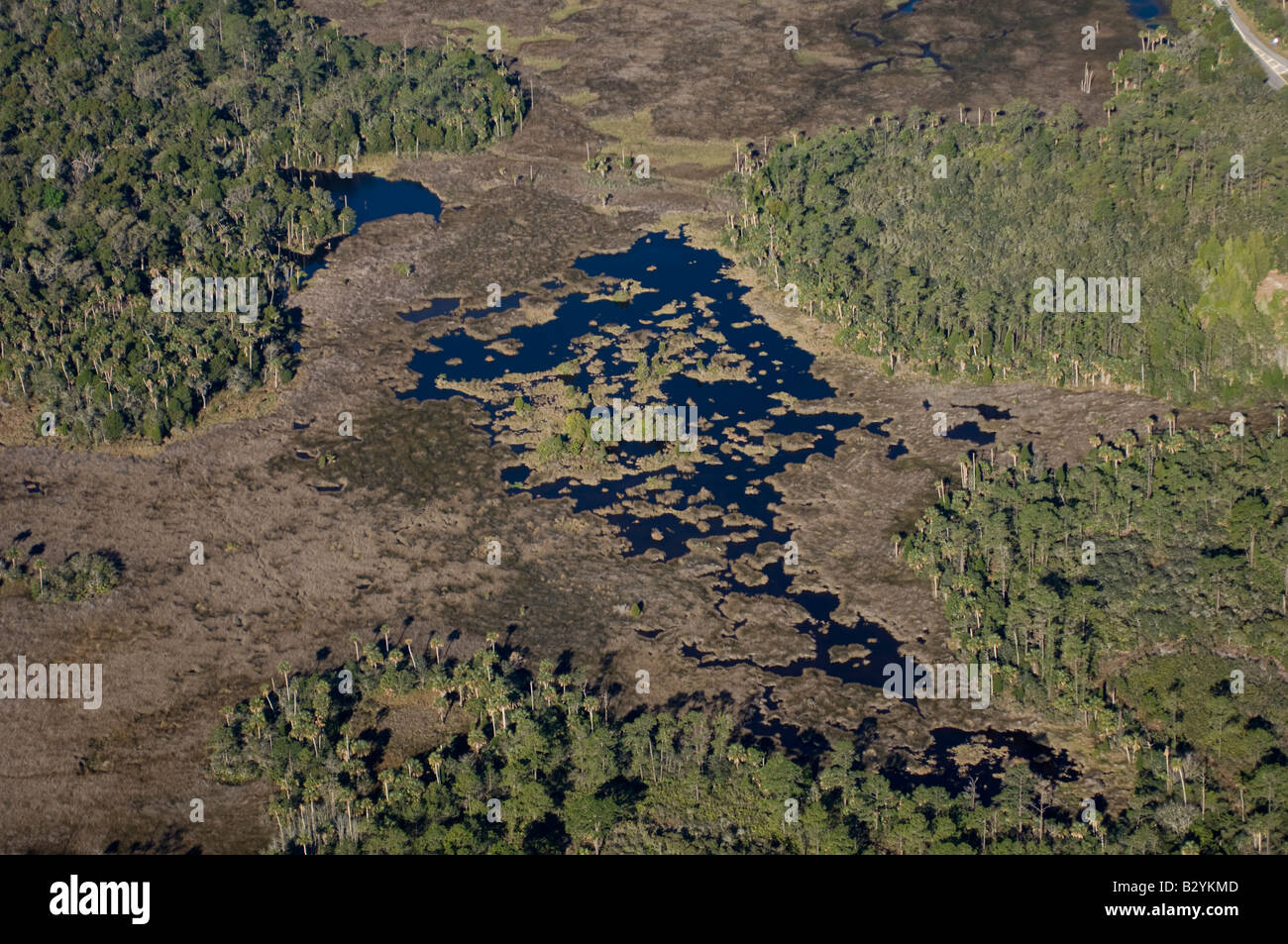 Aerial photograph of Crystal River in northwestern Florida; one of the few undeveloped areas in the state and a manatee refuge. Stock Photohttps://www.alamy.com/image-license-details/?v=1https://www.alamy.com/stock-photo-aerial-photograph-of-crystal-river-in-northwestern-florida-one-of-19047853.html
RMB2YKMD–Aerial photograph of Crystal River in northwestern Florida; one of the few undeveloped areas in the state and a manatee refuge.
 Tidal flats at the mouth of the Samish River in Skagit County, Washington, USA Stock Photohttps://www.alamy.com/image-license-details/?v=1https://www.alamy.com/tidal-flats-at-the-mouth-of-the-samish-river-in-skagit-county-washington-usa-image625051572.html
RM2Y8WFJC–Tidal flats at the mouth of the Samish River in Skagit County, Washington, USA
 Ncera River Mouth, Eastern Cape Province. Stock Photohttps://www.alamy.com/image-license-details/?v=1https://www.alamy.com/ncera-river-mouth-eastern-cape-province-image572020133.html
RM2T6HNED–Ncera River Mouth, Eastern Cape Province.
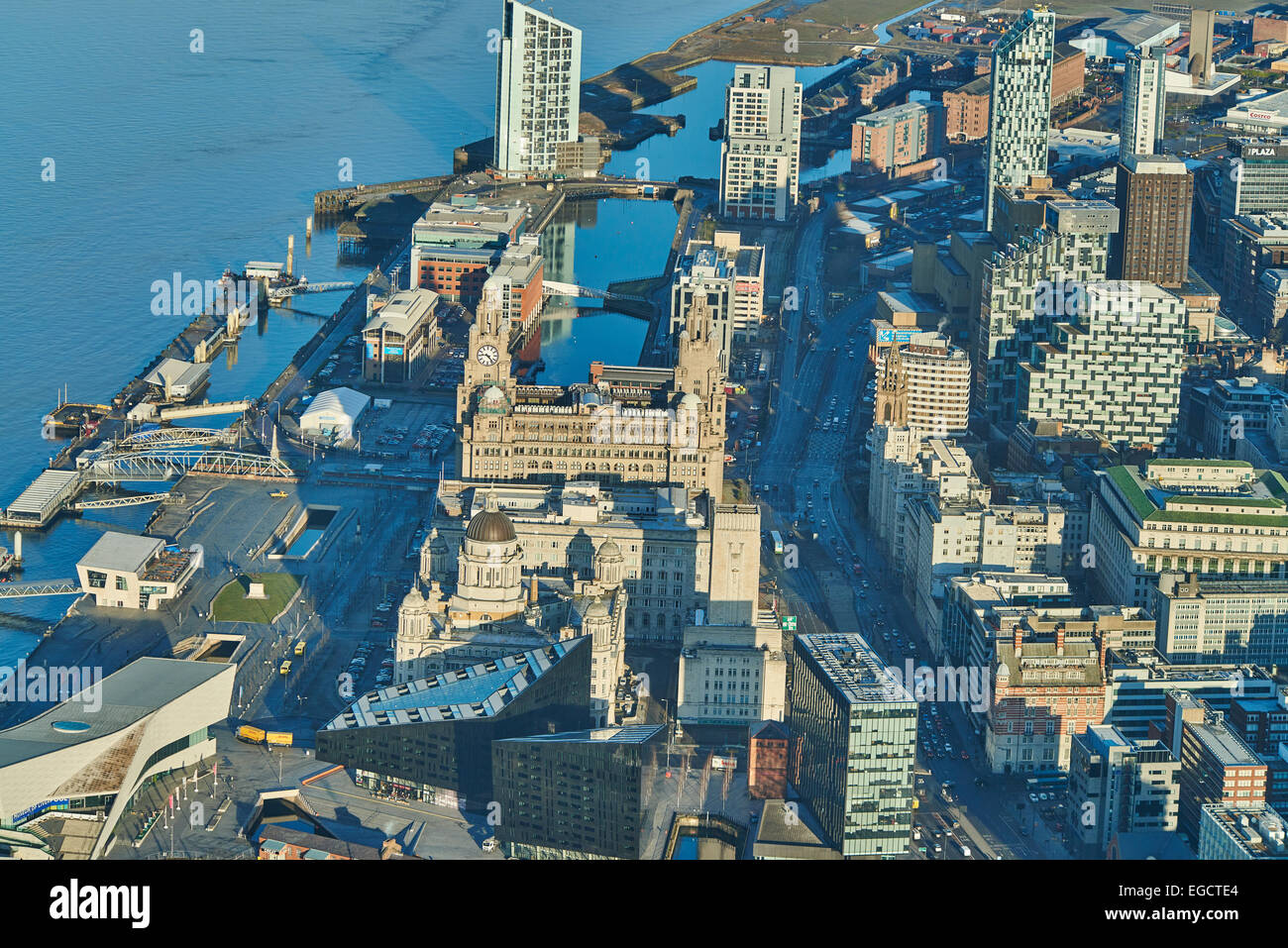 Aerial photograph of Princes Dock and neighbouring buildings, Liverpool Stock Photohttps://www.alamy.com/image-license-details/?v=1https://www.alamy.com/stock-photo-aerial-photograph-of-princes-dock-and-neighbouring-buildings-liverpool-78958604.html
RMEGCTE4–Aerial photograph of Princes Dock and neighbouring buildings, Liverpool
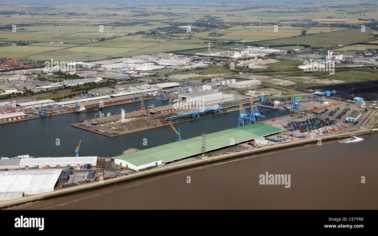 Aerial Photograph of King George Dock & Queen Elizabeth Docks, Hull, East Yorkshire Stock Photohttps://www.alamy.com/image-license-details/?v=1https://www.alamy.com/stock-photo-aerial-photograph-of-king-george-dock-queen-elizabeth-docks-hull-east-43201404.html
RMCE7YR8–Aerial Photograph of King George Dock & Queen Elizabeth Docks, Hull, East Yorkshire
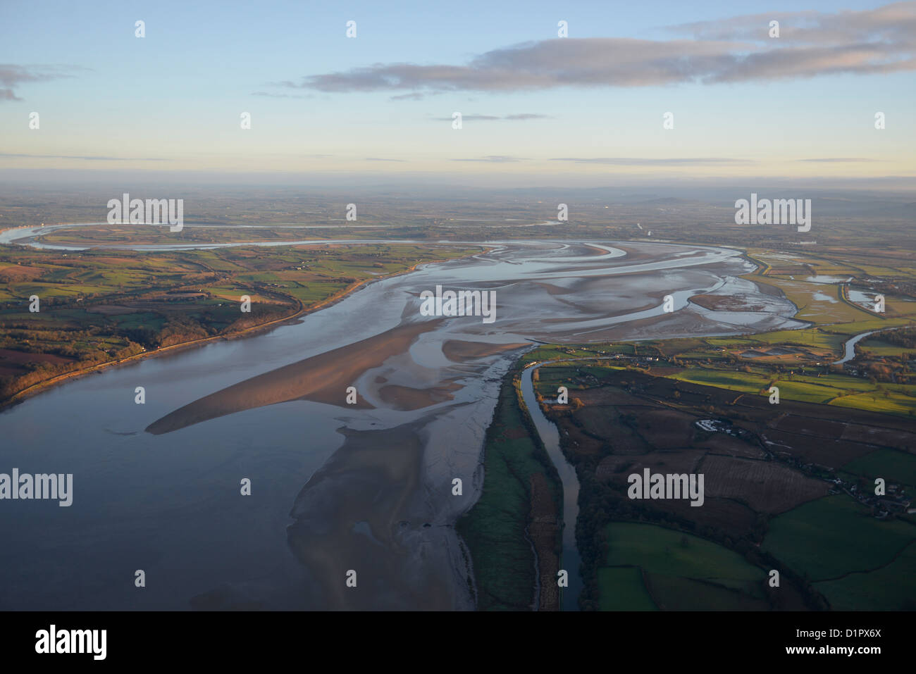 Aerial photograph of the River Severn Stock Photohttps://www.alamy.com/image-license-details/?v=1https://www.alamy.com/stock-photo-aerial-photograph-of-the-river-severn-52749282.html
RFD1PX6X–Aerial photograph of the River Severn
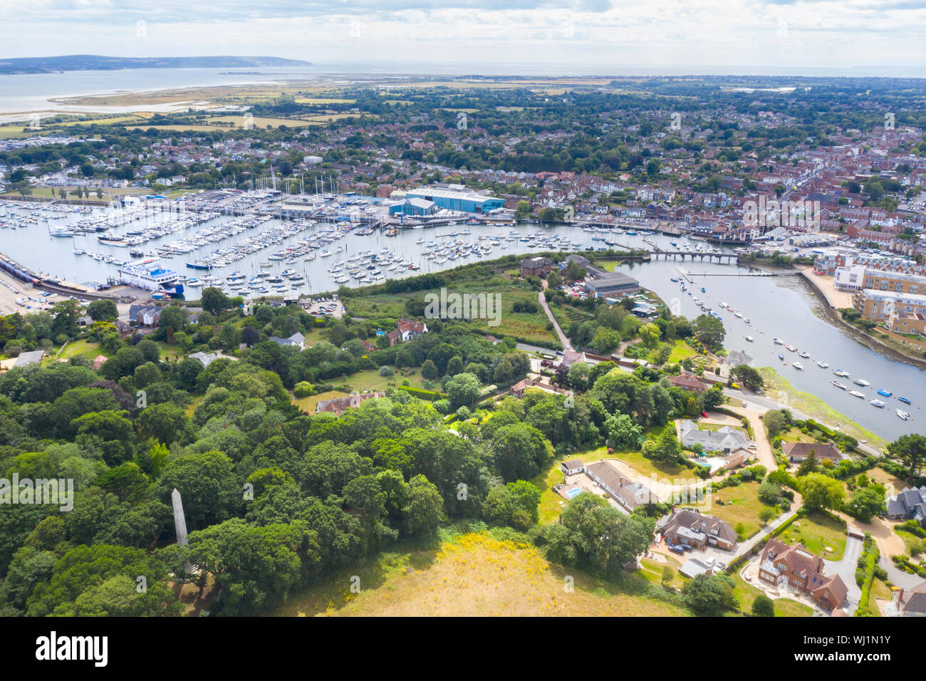 Lymington estuary from the air Stock Photohttps://www.alamy.com/image-license-details/?v=1https://www.alamy.com/lymington-estuary-from-the-air-image269257799.html
RFWJ1N1Y–Lymington estuary from the air
 Aerial view of the River Urr estuary, at Palnackie with Kippford in the distance, Kirkcudbrightshire, Dumfries & Galloway, Scotland. Stock Photohttps://www.alamy.com/image-license-details/?v=1https://www.alamy.com/aerial-view-of-the-river-urr-estuary-at-palnackie-with-kippford-in-the-distance-kirkcudbrightshire-dumfries-galloway-scotland-image367149453.html
RM2C992TD–Aerial view of the River Urr estuary, at Palnackie with Kippford in the distance, Kirkcudbrightshire, Dumfries & Galloway, Scotland.
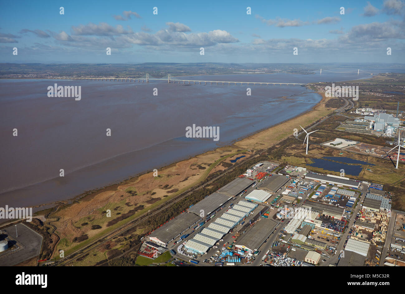 An aerial view of the Severn Estuary and bridges taken from Avonmouth, Bristol Stock Photohttps://www.alamy.com/image-license-details/?v=1https://www.alamy.com/stock-photo-an-aerial-view-of-the-severn-estuary-and-bridges-taken-from-avonmouth-175442815.html
RMM5C32R–An aerial view of the Severn Estuary and bridges taken from Avonmouth, Bristol
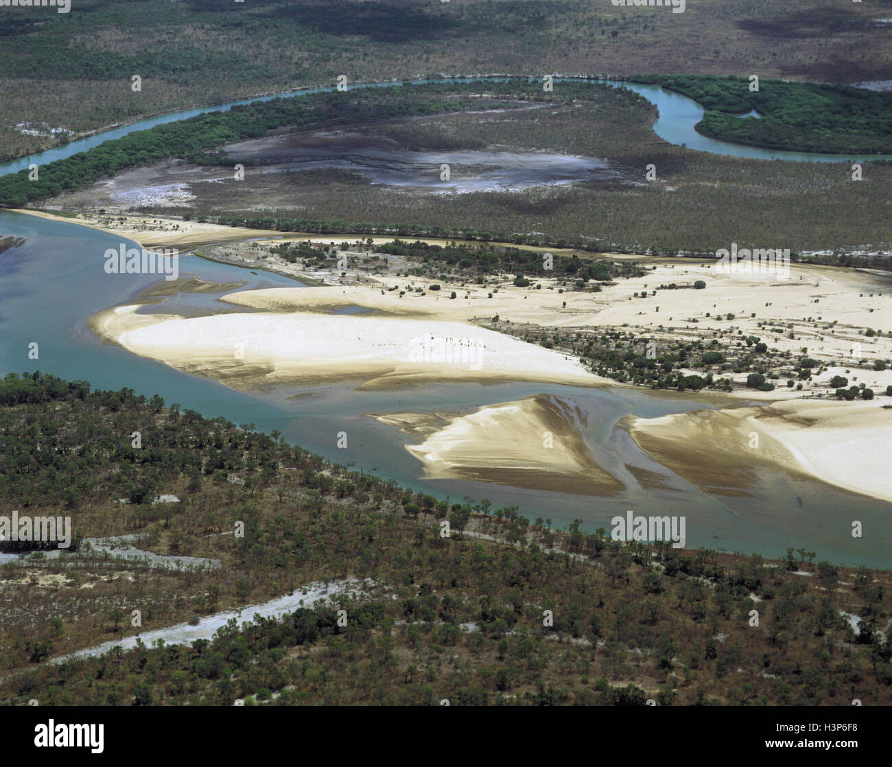 Mitchell River South Arm, Gulf of Carpentaria, Stock Photohttps://www.alamy.com/image-license-details/?v=1https://www.alamy.com/stock-photo-mitchell-river-south-arm-gulf-of-carpentaria-122804620.html
RMH3P6F8–Mitchell River South Arm, Gulf of Carpentaria,
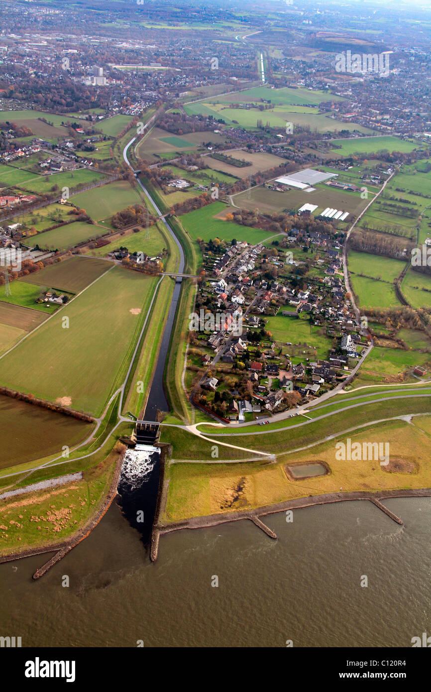 Aerial view, estuary of the Emscher river into the Rhine river, Dinslaken, Ruhrgebiet region, North Rhine-Westphalia Stock Photohttps://www.alamy.com/image-license-details/?v=1https://www.alamy.com/stock-photo-aerial-view-estuary-of-the-emscher-river-into-the-rhine-river-dinslaken-35079944.html
RMC120R4–Aerial view, estuary of the Emscher river into the Rhine river, Dinslaken, Ruhrgebiet region, North Rhine-Westphalia
 Aerial photograph of the estuary at Goldstream Provincial Park, Vancouver Island, British Columbia, Canada. Stock Photohttps://www.alamy.com/image-license-details/?v=1https://www.alamy.com/stock-photo-aerial-photograph-of-the-estuary-at-goldstream-provincial-park-vancouver-26758161.html
RMBFEX8H–Aerial photograph of the estuary at Goldstream Provincial Park, Vancouver Island, British Columbia, Canada.
 Aerial view, Emscher river estuary, Rhine river, flood, Dinslaken, Ruhrgebiet region, North Rhine-Westphalia, Germany, Europe Stock Photohttps://www.alamy.com/image-license-details/?v=1https://www.alamy.com/stock-photo-aerial-view-emscher-river-estuary-rhine-river-flood-dinslaken-ruhrgebiet-34031828.html
RMBYA7XC–Aerial view, Emscher river estuary, Rhine river, flood, Dinslaken, Ruhrgebiet region, North Rhine-Westphalia, Germany, Europe
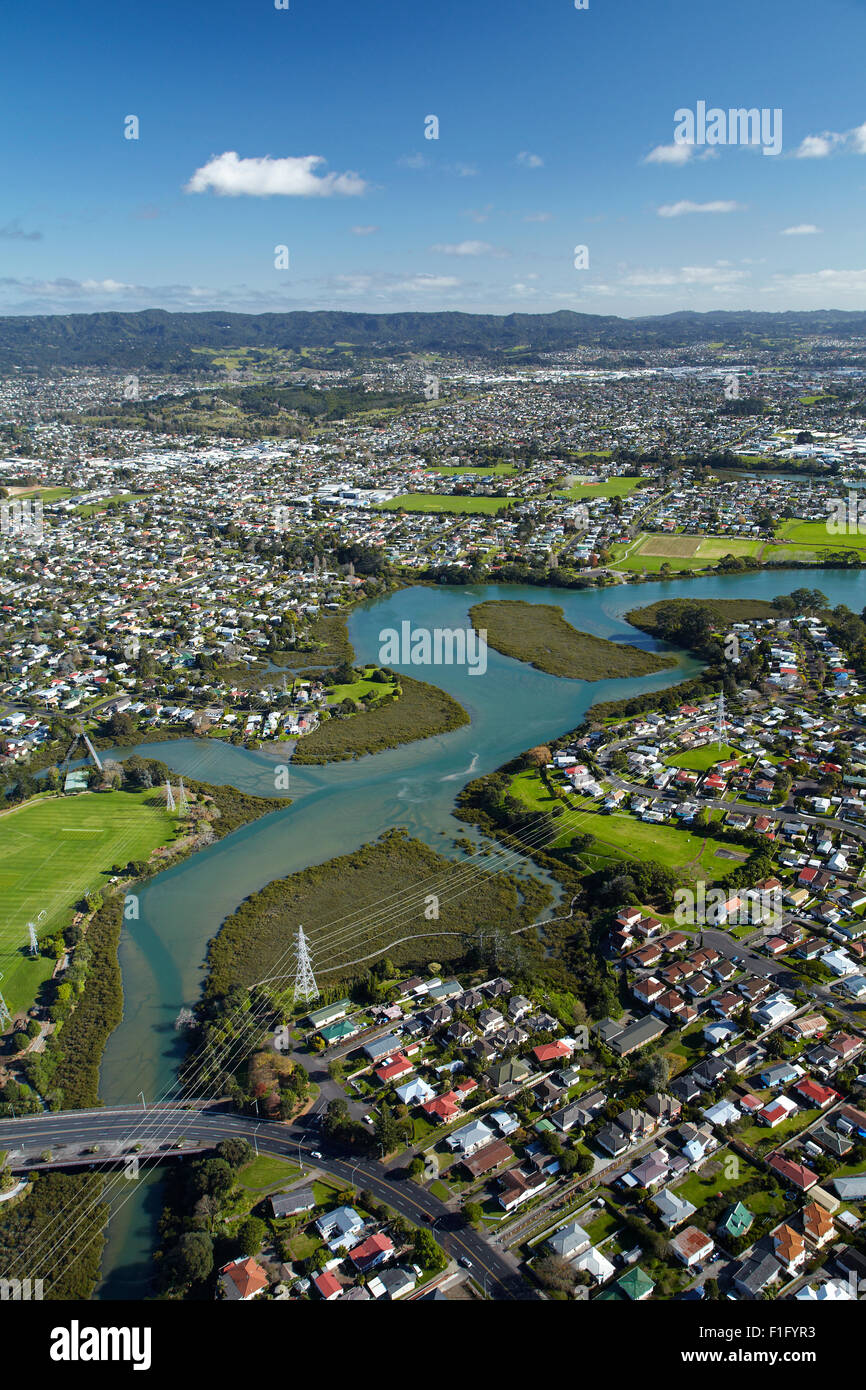 Whau River, Avondale, Auckland, North Island, New Zealand - aerial Stock Photohttps://www.alamy.com/image-license-details/?v=1https://www.alamy.com/stock-photo-whau-river-avondale-auckland-north-island-new-zealand-aerial-87017591.html
RMF1FYR3–Whau River, Avondale, Auckland, North Island, New Zealand - aerial
 Saint Jouan des Guerets (Brittany, north western France): aerial view of the River Rance, natural landscape in the Rance estuary Stock Photohttps://www.alamy.com/image-license-details/?v=1https://www.alamy.com/saint-jouan-des-guerets-brittany-north-western-france-aerial-view-of-the-river-rance-natural-landscape-in-the-rance-estuary-image447604512.html
RM2H0643C–Saint Jouan des Guerets (Brittany, north western France): aerial view of the River Rance, natural landscape in the Rance estuary
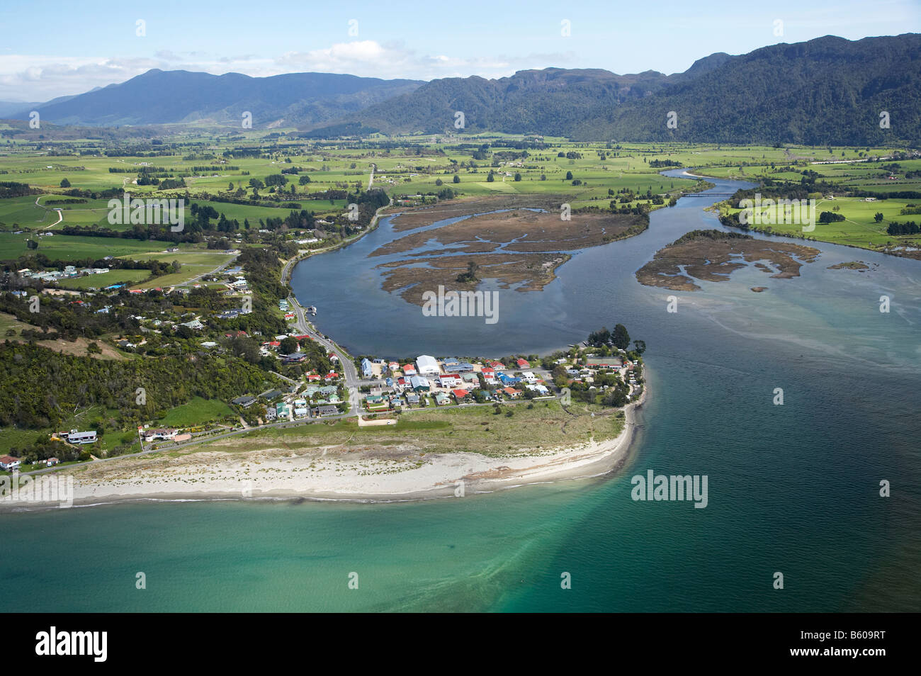 Collingwood and Aorere River Estuary Golden Bay Nelson Region South Island New Zealand aerial Stock Photohttps://www.alamy.com/image-license-details/?v=1https://www.alamy.com/stock-photo-collingwood-and-aorere-river-estuary-golden-bay-nelson-region-south-20906028.html
RMB609RT–Collingwood and Aorere River Estuary Golden Bay Nelson Region South Island New Zealand aerial
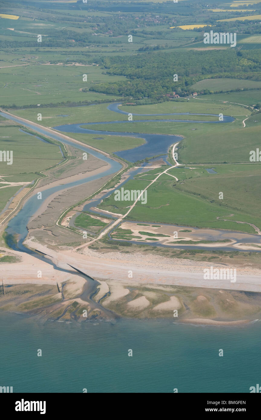 aerial photograph of Cuckmere haven, east Sussex, England Stock Photohttps://www.alamy.com/image-license-details/?v=1https://www.alamy.com/stock-photo-aerial-photograph-of-cuckmere-haven-east-sussex-england-29866893.html
RMBMGFEN–aerial photograph of Cuckmere haven, east Sussex, England
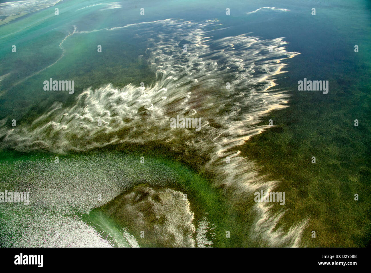 Estuary along Puget Sound Stock Photohttps://www.alamy.com/image-license-details/?v=1https://www.alamy.com/stock-photo-estuary-along-puget-sound-53457275.html
RMD2Y58B–Estuary along Puget Sound
 Neue Lippedelta, Lippemündung, River Lippe, Rhine river, Lippeverband, Wesel, Ruhr Area, Nordrhein-Westfalen, Germany, DEU, Europa, aerial photograph, Stock Photohttps://www.alamy.com/image-license-details/?v=1https://www.alamy.com/neue-lippedelta-lippemndung-river-lippe-rhine-river-lippeverband-wesel-ruhr-area-nordrhein-westfalen-germany-deu-europa-aerial-photograph-image216624709.html
RMPGC30N–Neue Lippedelta, Lippemündung, River Lippe, Rhine river, Lippeverband, Wesel, Ruhr Area, Nordrhein-Westfalen, Germany, DEU, Europa, aerial photograph,
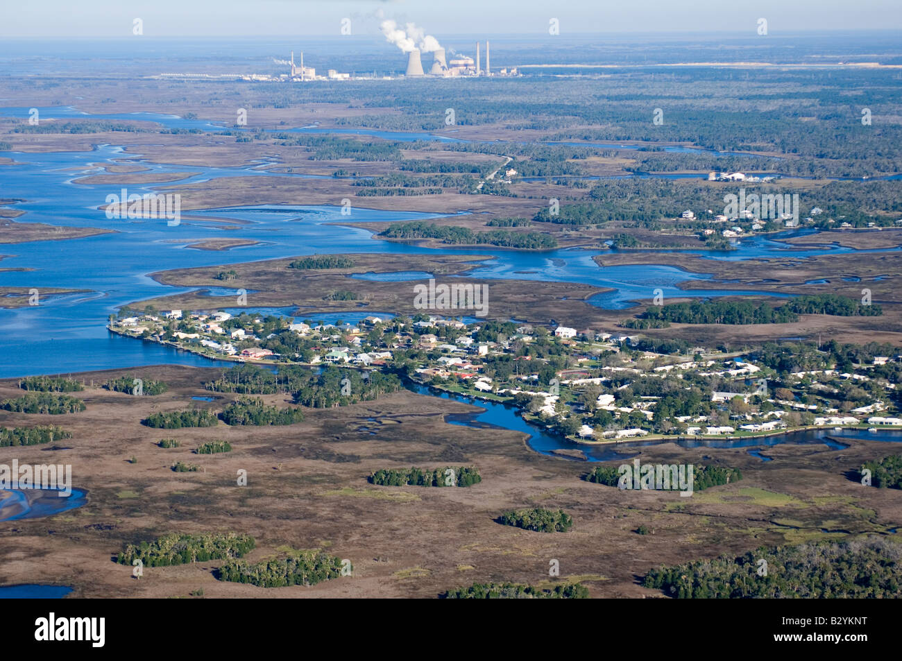 Aerial photograph of Crystal River in northwestern Florida; one of the few undeveloped areas in the state and a manatee refuge. Stock Photohttps://www.alamy.com/image-license-details/?v=1https://www.alamy.com/stock-photo-aerial-photograph-of-crystal-river-in-northwestern-florida-one-of-19047892.html
RMB2YKNT–Aerial photograph of Crystal River in northwestern Florida; one of the few undeveloped areas in the state and a manatee refuge.
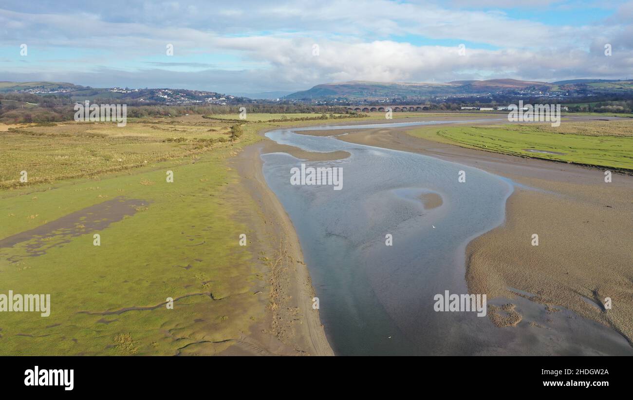 Aerial Photograph of Llangennech Marshland and River Loughor. Stock Photohttps://www.alamy.com/image-license-details/?v=1https://www.alamy.com/aerial-photograph-of-llangennech-marshland-and-river-loughor-image455830994.html
RM2HDGW2A–Aerial Photograph of Llangennech Marshland and River Loughor.
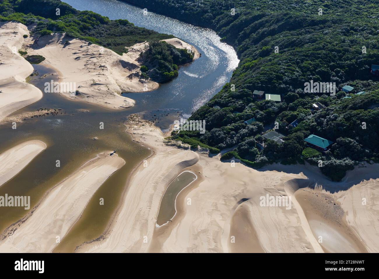 Aerial landscape photograph of a Eastern Cape Estuary and small coastal village. Stock Photohttps://www.alamy.com/image-license-details/?v=1https://www.alamy.com/aerial-landscape-photograph-of-a-eastern-cape-estuary-and-small-coastal-village-image569364260.html
RM2T28NWT–Aerial landscape photograph of a Eastern Cape Estuary and small coastal village.
 Aerial photographs of Aberdovey & the Dovey River. Taken with a Drone by Professional Operators Stock Photohttps://www.alamy.com/image-license-details/?v=1https://www.alamy.com/stock-photo-aerial-photographs-of-aberdovey-the-dovey-river-taken-with-a-drone-138120893.html
RMJ0KXH1–Aerial photographs of Aberdovey & the Dovey River. Taken with a Drone by Professional Operators
 Abstract aerial photograph of Gonubie River mouth and estuary. Stock Photohttps://www.alamy.com/image-license-details/?v=1https://www.alamy.com/abstract-aerial-photograph-of-gonubie-river-mouth-and-estuary-image575925869.html
RM2TCYK91–Abstract aerial photograph of Gonubie River mouth and estuary.
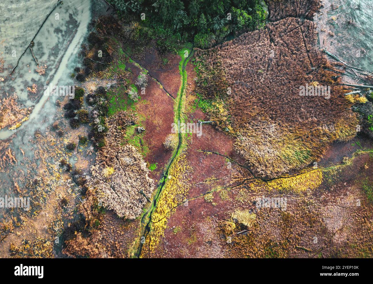 Aerial view of tidal flats at the mouth of the Skagit River, near La Conner, Washington, USA Stock Photohttps://www.alamy.com/image-license-details/?v=1https://www.alamy.com/aerial-view-of-tidal-flats-at-the-mouth-of-the-skagit-river-near-la-conner-washington-usa-image628662179.html
RM2YEP10K–Aerial view of tidal flats at the mouth of the Skagit River, near La Conner, Washington, USA
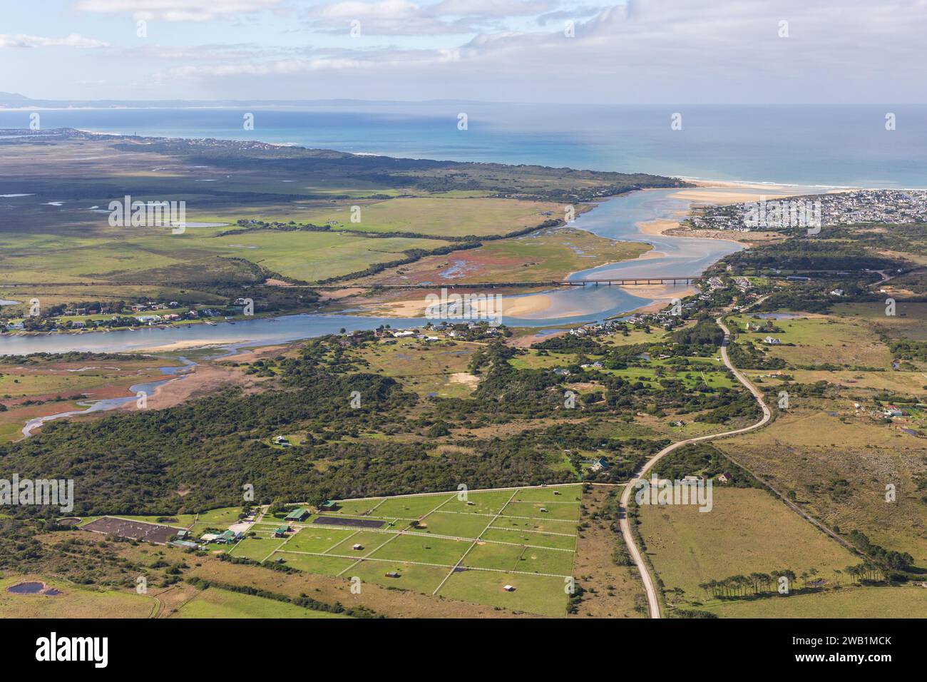 Aerial photograph of The Krom river flowing into the Indian Ocean, St Francis Bay South Africa. Stock Photohttps://www.alamy.com/image-license-details/?v=1https://www.alamy.com/aerial-photograph-of-the-krom-river-flowing-into-the-indian-ocean-st-francis-bay-south-africa-image591951715.html
RM2WB1MCK–Aerial photograph of The Krom river flowing into the Indian Ocean, St Francis Bay South Africa.
 Lymington estuary from the air Stock Photohttps://www.alamy.com/image-license-details/?v=1https://www.alamy.com/lymington-estuary-from-the-air-image269257853.html
RFWJ1N3W–Lymington estuary from the air
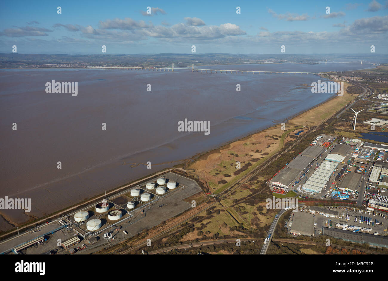 An aerial view of the Severn Estuary and bridges taken from Avonmouth, Bristol Stock Photohttps://www.alamy.com/image-license-details/?v=1https://www.alamy.com/stock-photo-an-aerial-view-of-the-severn-estuary-and-bridges-taken-from-avonmouth-175442814.html
RMM5C32P–An aerial view of the Severn Estuary and bridges taken from Avonmouth, Bristol
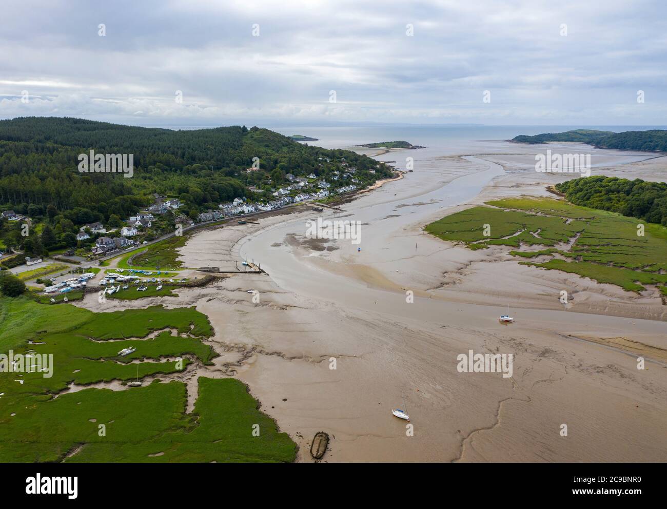 Aerial view of Kippford and the River Urr estuary at low tide, Kirkcudbrightshire, Dumfries and Galloway, Scotland. Stock Photohttps://www.alamy.com/image-license-details/?v=1https://www.alamy.com/aerial-view-of-kippford-and-the-river-urr-estuary-at-low-tide-kirkcudbrightshire-dumfries-and-galloway-scotland-image367208212.html
RM2C9BNR0–Aerial view of Kippford and the River Urr estuary at low tide, Kirkcudbrightshire, Dumfries and Galloway, Scotland.
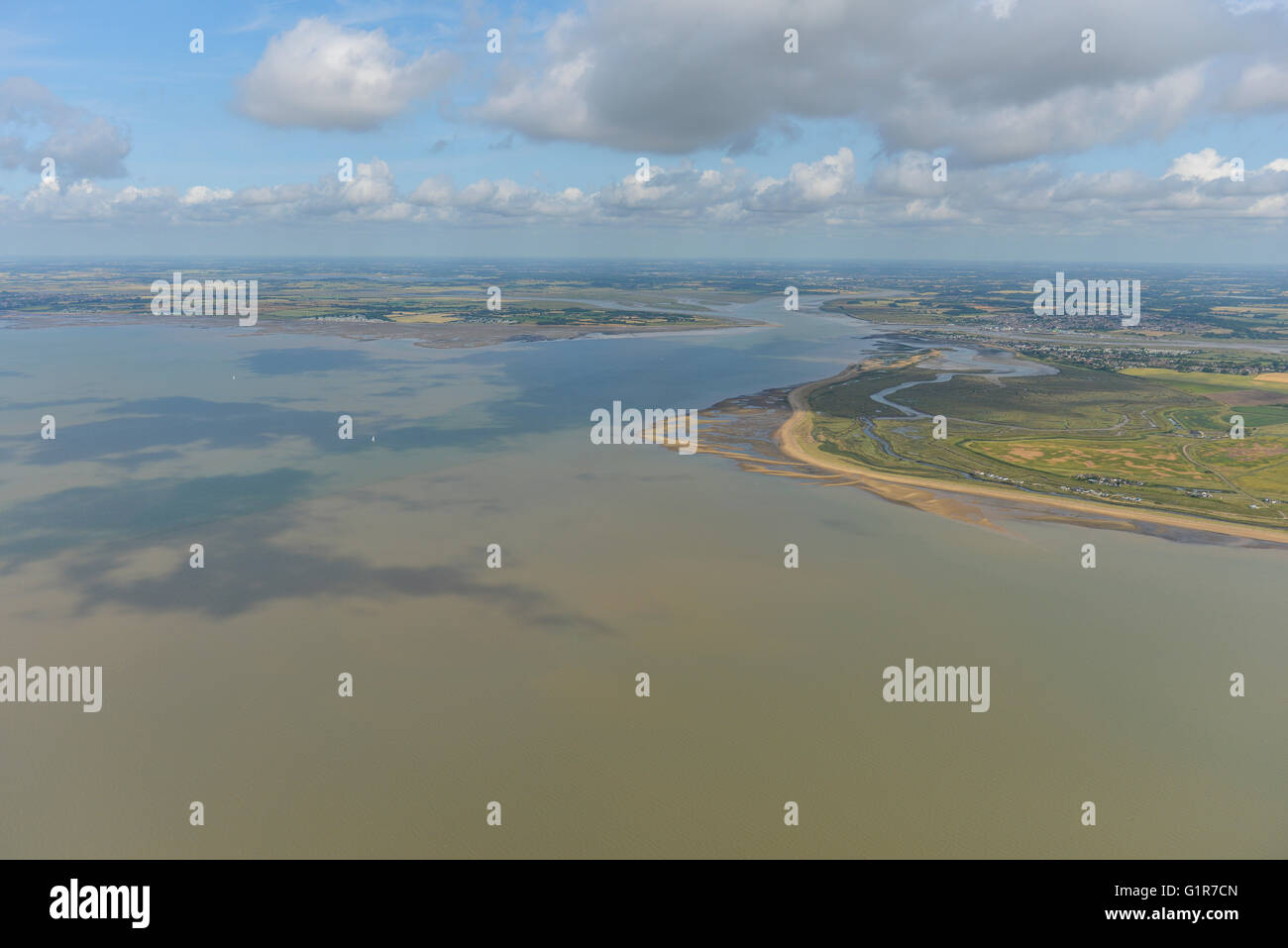 An aerial view of the River Blackwater Estuary, Essex Stock Photohttps://www.alamy.com/image-license-details/?v=1https://www.alamy.com/stock-photo-an-aerial-view-of-the-river-blackwater-estuary-essex-104387605.html
RMG1R7CN–An aerial view of the River Blackwater Estuary, Essex
 Aerial photograph of Cowichan Bay's estuary, Vancouver Island, British Columbia, Canada. Stock Photohttps://www.alamy.com/image-license-details/?v=1https://www.alamy.com/stock-photo-aerial-photograph-of-cowichan-bays-estuary-vancouver-island-british-26758227.html
RMBFEXAY–Aerial photograph of Cowichan Bay's estuary, Vancouver Island, British Columbia, Canada.
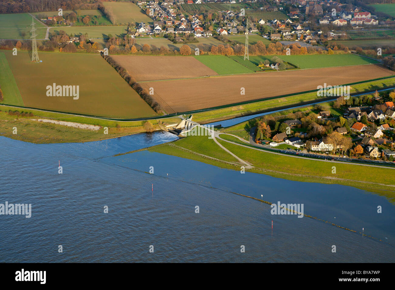 Aerial view, Emscher river estuary, Rhine river, flood, Dinslaken, Ruhrgebiet region, North Rhine-Westphalia, Germany, Europe Stock Photohttps://www.alamy.com/image-license-details/?v=1https://www.alamy.com/stock-photo-aerial-view-emscher-river-estuary-rhine-river-flood-dinslaken-ruhrgebiet-34031810.html
RMBYA7WP–Aerial view, Emscher river estuary, Rhine river, flood, Dinslaken, Ruhrgebiet region, North Rhine-Westphalia, Germany, Europe
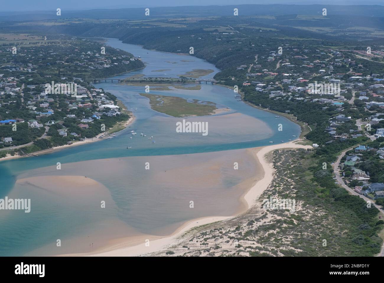 Aerial photograph of Kenton on Sea and Bushmans River. Stock Photohttps://www.alamy.com/image-license-details/?v=1https://www.alamy.com/aerial-photograph-of-kenton-on-sea-and-bushmans-river-image523411783.html
RM2NBFD1Y–Aerial photograph of Kenton on Sea and Bushmans River.
 Saint Jouan des Guerets (Brittany, north western France): aerial view of the River Rance, natural landscape in the Rance estuary Stock Photohttps://www.alamy.com/image-license-details/?v=1https://www.alamy.com/saint-jouan-des-guerets-brittany-north-western-france-aerial-view-of-the-river-rance-natural-landscape-in-the-rance-estuary-image447604510.html
RM2H0643A–Saint Jouan des Guerets (Brittany, north western France): aerial view of the River Rance, natural landscape in the Rance estuary
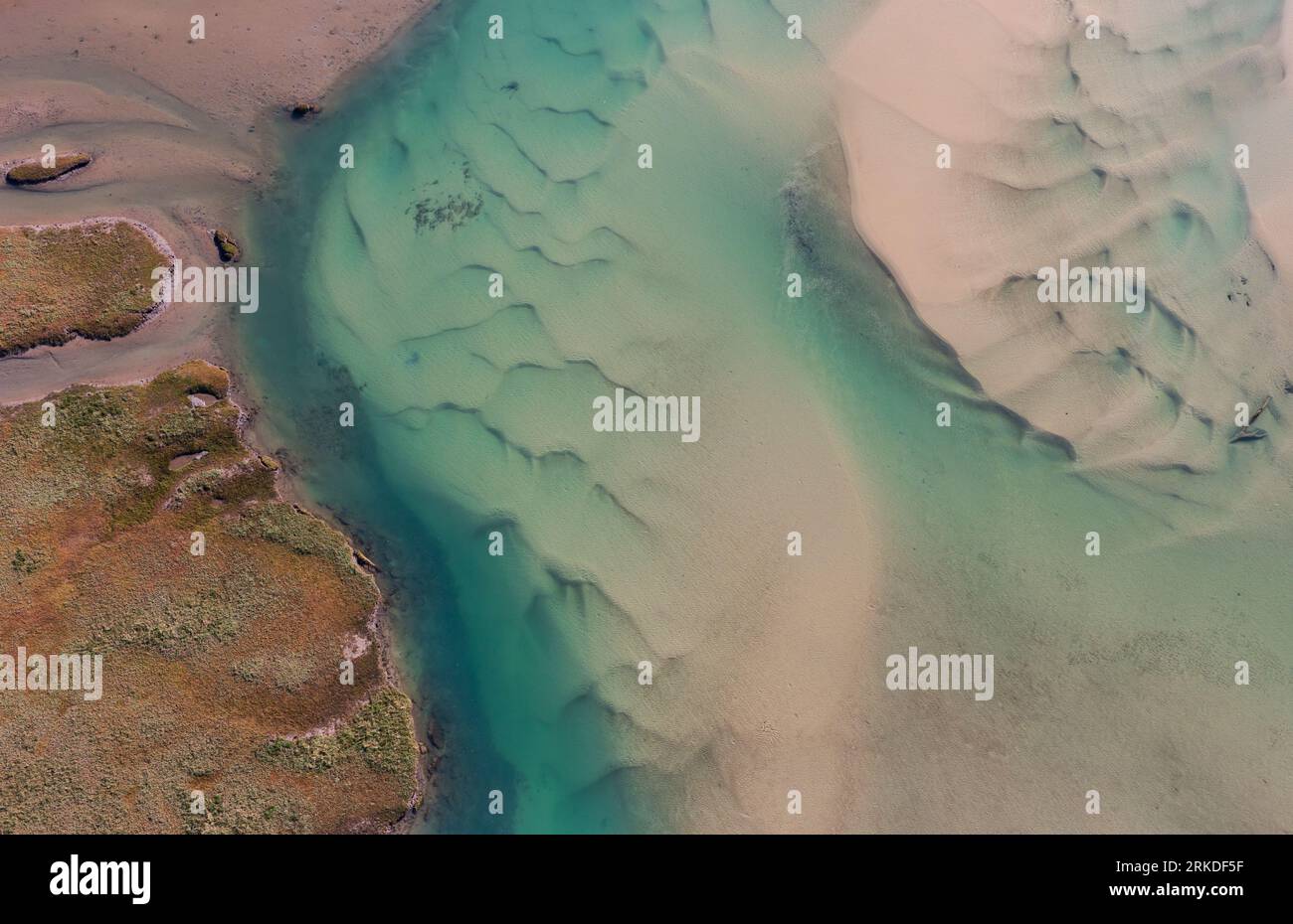 Abstract aerial photograph of Gonubie River mouth and estuary. Stock Photohttps://www.alamy.com/image-license-details/?v=1https://www.alamy.com/abstract-aerial-photograph-of-gonubie-river-mouth-and-estuary-image562707531.html
RM2RKDF5F–Abstract aerial photograph of Gonubie River mouth and estuary.
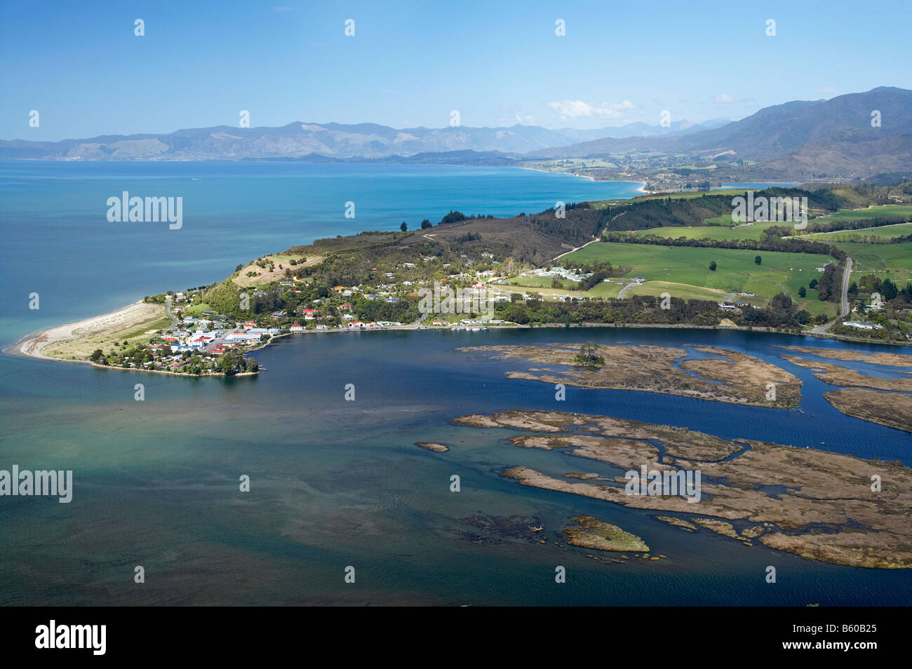 Collingwood and Aorere River Estuary Golden Bay Nelson Region South Island New Zealand aerial Stock Photohttps://www.alamy.com/image-license-details/?v=1https://www.alamy.com/stock-photo-collingwood-and-aorere-river-estuary-golden-bay-nelson-region-south-20906989.html
RMB60B25–Collingwood and Aorere River Estuary Golden Bay Nelson Region South Island New Zealand aerial
 aerial photograph of Cuckmere haven, east Sussex, England Stock Photohttps://www.alamy.com/image-license-details/?v=1https://www.alamy.com/stock-photo-aerial-photograph-of-cuckmere-haven-east-sussex-england-29867376.html
RMBMGG40–aerial photograph of Cuckmere haven, east Sussex, England
 Okura River and Okura, Auckland, North Island, New Zealand - aerial Stock Photohttps://www.alamy.com/image-license-details/?v=1https://www.alamy.com/stock-photo-okura-river-and-okura-auckland-north-island-new-zealand-aerial-87160671.html
RMF1PE93–Okura River and Okura, Auckland, North Island, New Zealand - aerial
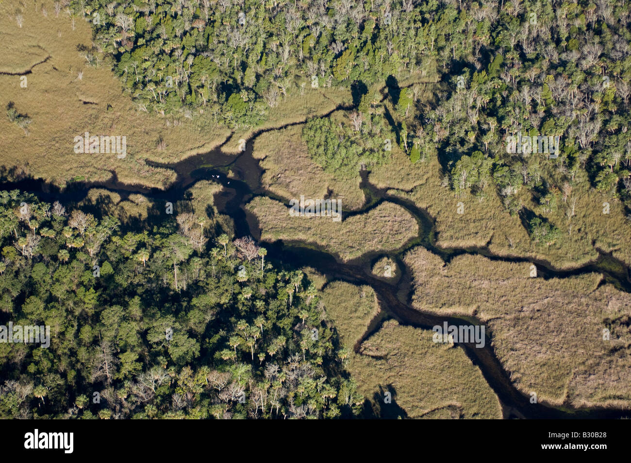 Aerial photograph of Crystal River in northwestern Florida; one of the few undeveloped areas in the state and a manatee refuge. Stock Photohttps://www.alamy.com/image-license-details/?v=1https://www.alamy.com/stock-photo-aerial-photograph-of-crystal-river-in-northwestern-florida-one-of-19063024.html
RMB30B28–Aerial photograph of Crystal River in northwestern Florida; one of the few undeveloped areas in the state and a manatee refuge.
 Neue Lippedelta, Lippemündung, River Lippe, Rhine river, Lippeverband, Wesel, Ruhr Area, Nordrhein-Westfalen, Germany, DEU, Europa, aerial photograph, Stock Photohttps://www.alamy.com/image-license-details/?v=1https://www.alamy.com/neue-lippedelta-lippemndung-river-lippe-rhine-river-lippeverband-wesel-ruhr-area-nordrhein-westfalen-germany-deu-europa-aerial-photograph-image216624710.html
RMPGC30P–Neue Lippedelta, Lippemündung, River Lippe, Rhine river, Lippeverband, Wesel, Ruhr Area, Nordrhein-Westfalen, Germany, DEU, Europa, aerial photograph,
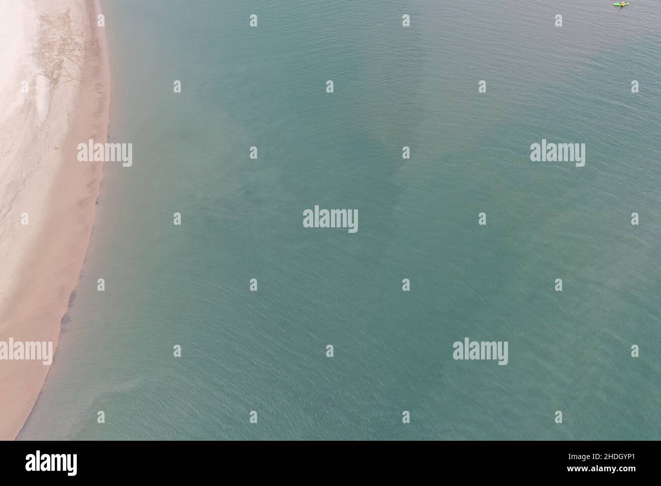 Aerial Photograph of Llangennech Marshland and River Loughor. Stock Photohttps://www.alamy.com/image-license-details/?v=1https://www.alamy.com/aerial-photograph-of-llangennech-marshland-and-river-loughor-image455833113.html
RM2HDGYP1–Aerial Photograph of Llangennech Marshland and River Loughor.
 Aerial photographs of Aberdovey & the Dovey River. Taken with a Drone by Professional Operators Stock Photohttps://www.alamy.com/image-license-details/?v=1https://www.alamy.com/stock-photo-aerial-photographs-of-aberdovey-the-dovey-river-taken-with-a-drone-138120898.html
RMJ0KXH6–Aerial photographs of Aberdovey & the Dovey River. Taken with a Drone by Professional Operators
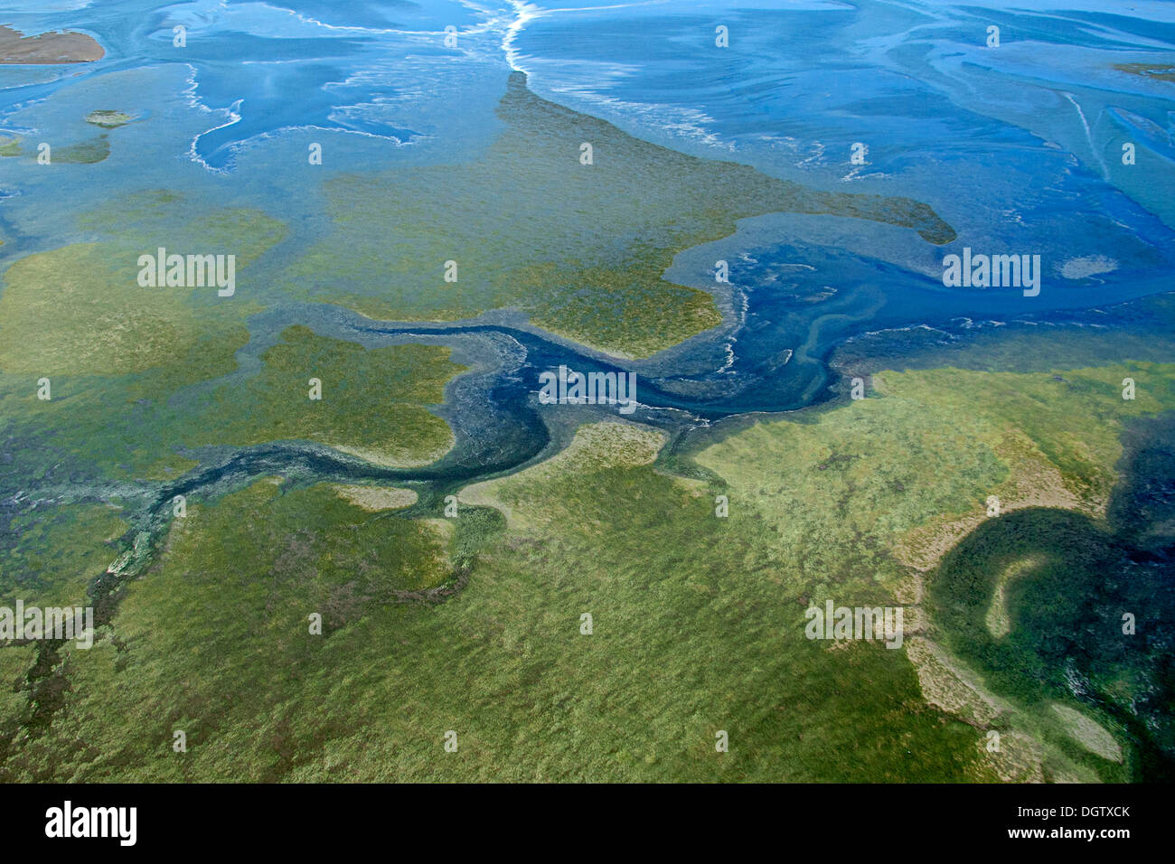 Estuary along Puget Sound Stock Photohttps://www.alamy.com/image-license-details/?v=1https://www.alamy.com/estuary-along-puget-sound-image62013187.html
RMDGTXCK–Estuary along Puget Sound
 Aerial view of tidal flats at the mouth of the Skagit River, near La Conner, Washington, USA Stock Photohttps://www.alamy.com/image-license-details/?v=1https://www.alamy.com/aerial-view-of-tidal-flats-at-the-mouth-of-the-skagit-river-near-la-conner-washington-usa-image628662154.html
RM2YEP0YP–Aerial view of tidal flats at the mouth of the Skagit River, near La Conner, Washington, USA
 Saint-Nazaire (north-western France): aerial view of the cable-stayed bridge of Saint-Nazaire, on the Loire estuary Stock Photohttps://www.alamy.com/image-license-details/?v=1https://www.alamy.com/saint-nazaire-north-western-france-aerial-view-of-the-cable-stayed-bridge-of-saint-nazaire-on-the-loire-estuary-image386691846.html
RM2DD39B2–Saint-Nazaire (north-western France): aerial view of the cable-stayed bridge of Saint-Nazaire, on the Loire estuary
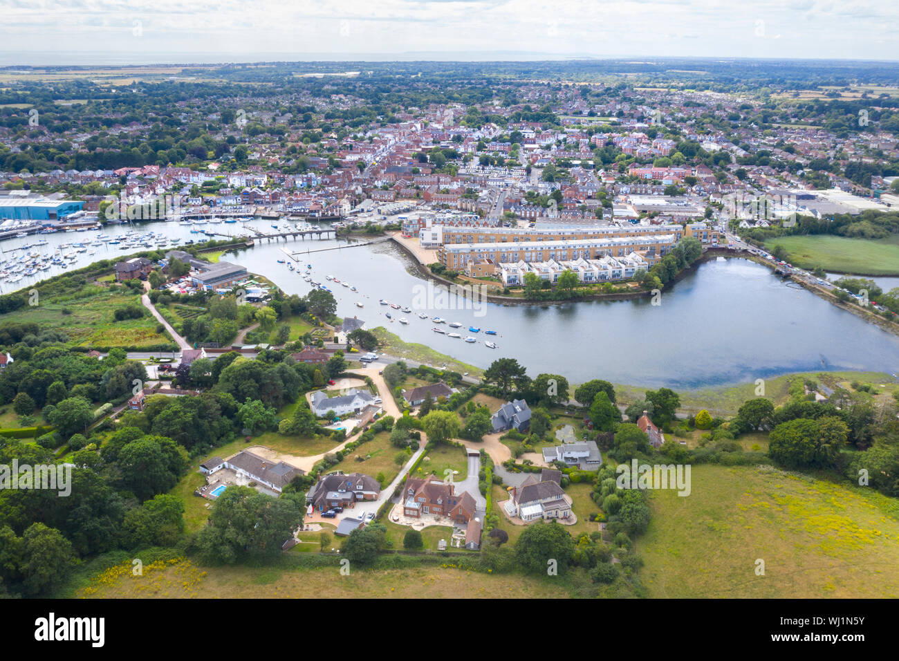 Lymington estuary from the air Stock Photohttps://www.alamy.com/image-license-details/?v=1https://www.alamy.com/lymington-estuary-from-the-air-image269257911.html
RFWJ1N5Y–Lymington estuary from the air
 Vjosa, Fluß, Fluss, Wildfluß, Wildfluss Vjosa, Vjosë, Aoos, Mündungsbrereich, Mündung, Flussdelta, Flußdelta, Mündet ins Mittelmeer, Ästuar, Nationalp Stock Photohttps://www.alamy.com/image-license-details/?v=1https://www.alamy.com/vjosa-flu-fluss-wildflu-wildfluss-vjosa-vjos-aoos-mndungsbrereich-mndung-flussdelta-fludelta-mndet-ins-mittelmeer-stuar-nationalp-image594107894.html
RM2WEFXK2–Vjosa, Fluß, Fluss, Wildfluß, Wildfluss Vjosa, Vjosë, Aoos, Mündungsbrereich, Mündung, Flussdelta, Flußdelta, Mündet ins Mittelmeer, Ästuar, Nationalp
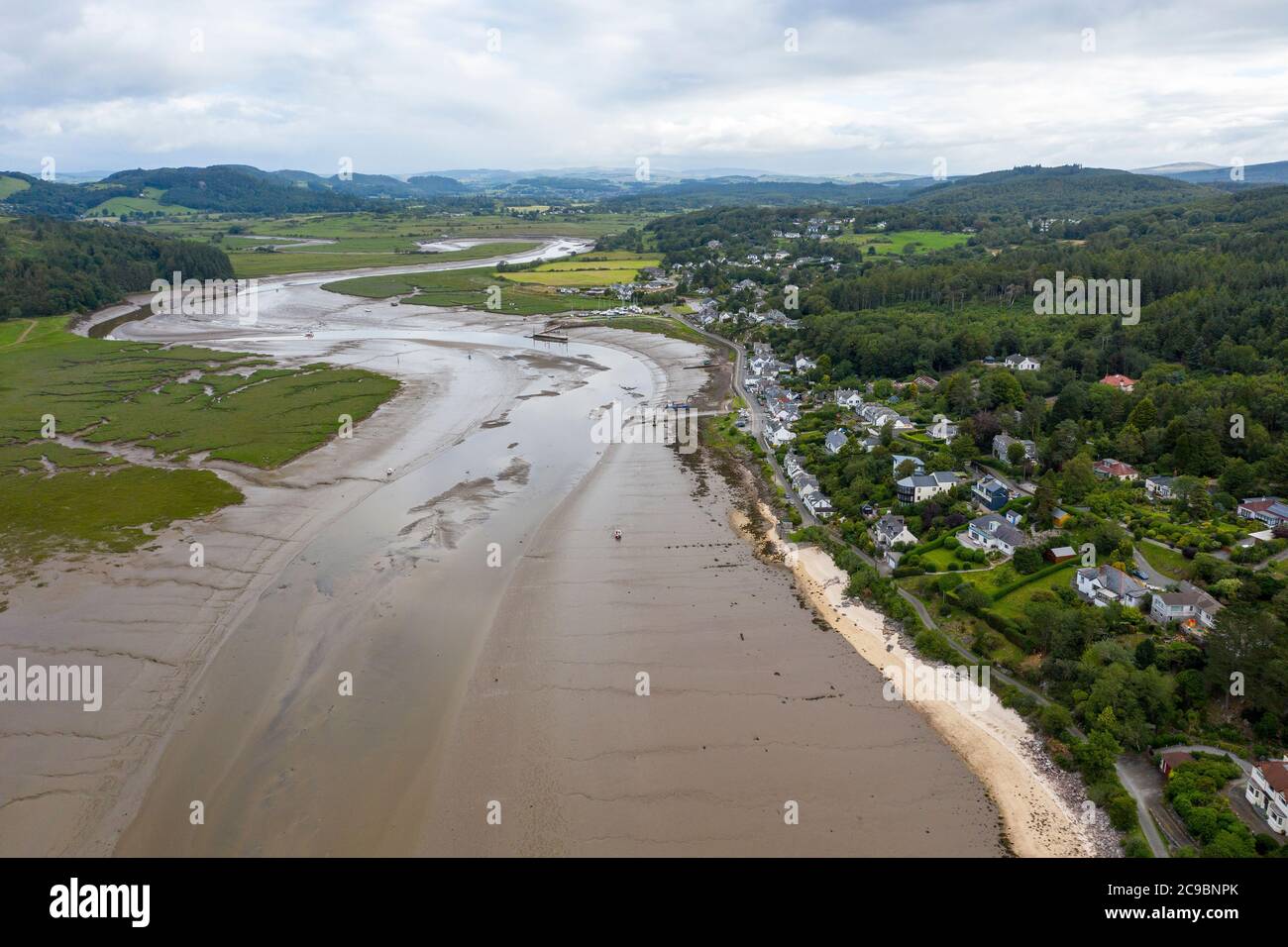 Aerial view of Kippford and the River Urr estuary at low tide, Kirkcudbrightshire, Dumfries and Galloway, Scotland. Stock Photohttps://www.alamy.com/image-license-details/?v=1https://www.alamy.com/aerial-view-of-kippford-and-the-river-urr-estuary-at-low-tide-kirkcudbrightshire-dumfries-and-galloway-scotland-image367208203.html
RM2C9BNPK–Aerial view of Kippford and the River Urr estuary at low tide, Kirkcudbrightshire, Dumfries and Galloway, Scotland.
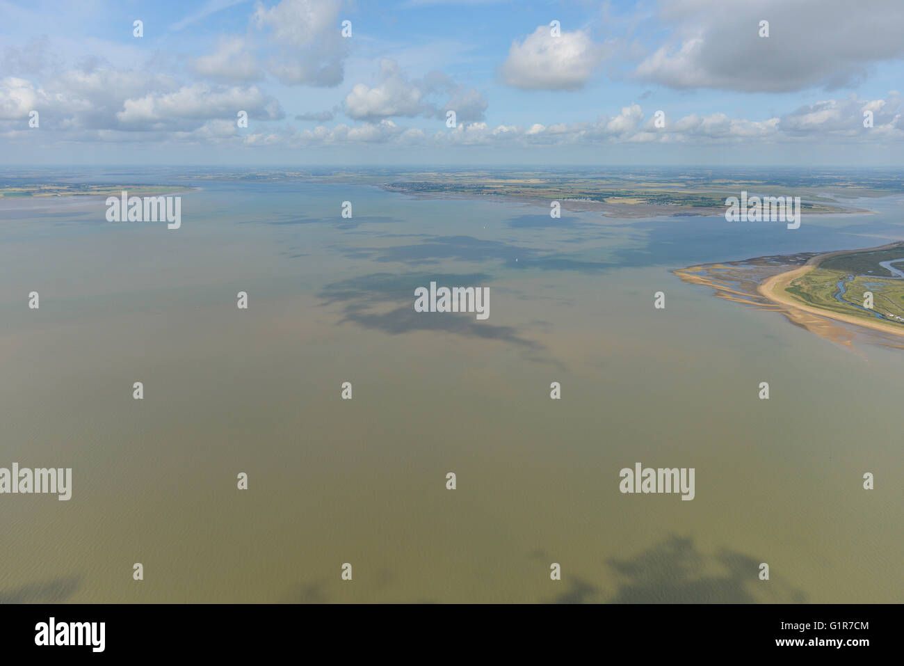 An aerial view of the River Blackwater Estuary, Essex Stock Photohttps://www.alamy.com/image-license-details/?v=1https://www.alamy.com/stock-photo-an-aerial-view-of-the-river-blackwater-estuary-essex-104387604.html
RMG1R7CM–An aerial view of the River Blackwater Estuary, Essex
 Le Verdon sur Mer (south western France): aerial view of the Lighthouse of Cordouan at the mouth of the Gironde estuary Stock Photohttps://www.alamy.com/image-license-details/?v=1https://www.alamy.com/le-verdon-sur-mer-south-western-france-aerial-view-of-the-lighthouse-of-cordouan-at-the-mouth-of-the-gironde-estuary-image439233652.html
RM2GEGR04–Le Verdon sur Mer (south western France): aerial view of the Lighthouse of Cordouan at the mouth of the Gironde estuary
 Aerial view, Emscher river estuary, Rhine river, flood, Dinslaken, Ruhrgebiet region, North Rhine-Westphalia, Germany, Europe Stock Photohttps://www.alamy.com/image-license-details/?v=1https://www.alamy.com/stock-photo-aerial-view-emscher-river-estuary-rhine-river-flood-dinslaken-ruhrgebiet-34031839.html
RMBYA7XR–Aerial view, Emscher river estuary, Rhine river, flood, Dinslaken, Ruhrgebiet region, North Rhine-Westphalia, Germany, Europe
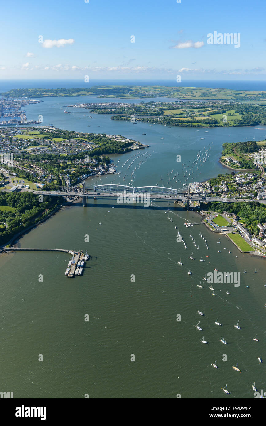 An aerial view of the Tamar Estuary with the road and railway bridges visible Stock Photohttps://www.alamy.com/image-license-details/?v=1https://www.alamy.com/stock-photo-an-aerial-view-of-the-tamar-estuary-with-the-road-and-railway-bridges-101723658.html
RMFWDWFP–An aerial view of the Tamar Estuary with the road and railway bridges visible
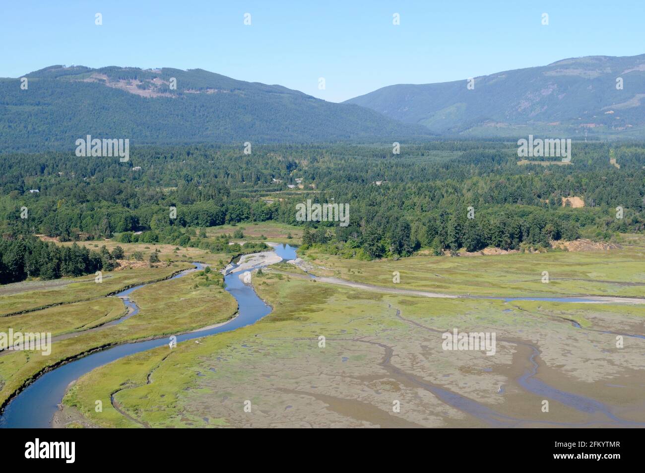 Aerial photograph of the Chemainus River Estuary, Chemainus Valley, Vancouver Island, British Columbia, Canada. Stock Photohttps://www.alamy.com/image-license-details/?v=1https://www.alamy.com/aerial-photograph-of-the-chemainus-river-estuary-chemainus-valley-vancouver-island-british-columbia-canada-image425339399.html
RM2FKYTMR–Aerial photograph of the Chemainus River Estuary, Chemainus Valley, Vancouver Island, British Columbia, Canada.
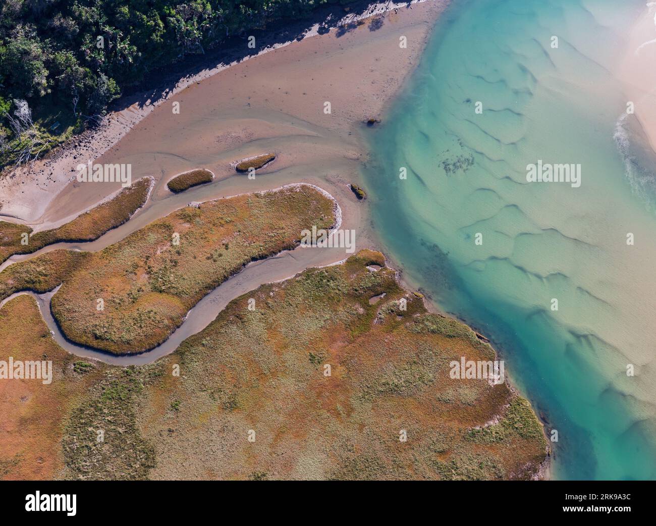 Abstract aerial photograph of Gonubie River mouth and estuary. Stock Photohttps://www.alamy.com/image-license-details/?v=1https://www.alamy.com/abstract-aerial-photograph-of-gonubie-river-mouth-and-estuary-image562615744.html
RM2RK9A3C–Abstract aerial photograph of Gonubie River mouth and estuary.
 Aerial Photograph of the Naval town of Dartmouth, the river Dart and the village of Kingswear in the background Stock Photohttps://www.alamy.com/image-license-details/?v=1https://www.alamy.com/aerial-photograph-of-the-naval-town-of-dartmouth-the-river-dart-and-the-village-of-kingswear-in-the-background-image485839277.html
RF2K6BTXN–Aerial Photograph of the Naval town of Dartmouth, the river Dart and the village of Kingswear in the background
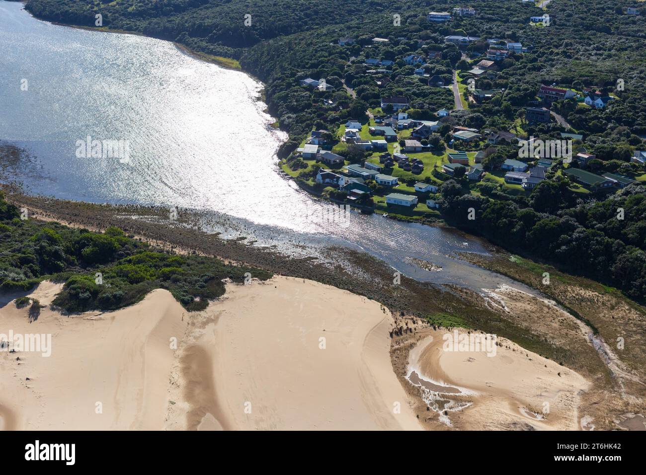 Begha Mouth Beach is situated within a nature reserve, Eastern Cape Province of South Africa. Stock Photohttps://www.alamy.com/image-license-details/?v=1https://www.alamy.com/begha-mouth-beach-is-situated-within-a-nature-reserve-eastern-cape-province-of-south-africa-image572018274.html
RM2T6HK42–Begha Mouth Beach is situated within a nature reserve, Eastern Cape Province of South Africa.
 Okura River and Okura, Auckland, North Island, New Zealand - aerial Stock Photohttps://www.alamy.com/image-license-details/?v=1https://www.alamy.com/stock-photo-okura-river-and-okura-auckland-north-island-new-zealand-aerial-87160668.html
RMF1PE90–Okura River and Okura, Auckland, North Island, New Zealand - aerial
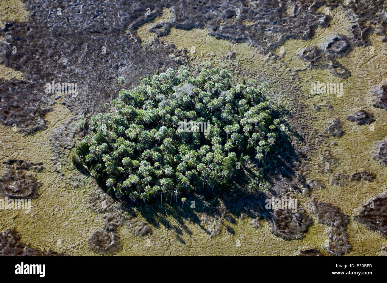 Aerial photograph of Crystal River in northwestern Florida; one of the few undeveloped areas in the state and a manatee refuge. Stock Photohttps://www.alamy.com/image-license-details/?v=1https://www.alamy.com/stock-photo-aerial-photograph-of-crystal-river-in-northwestern-florida-one-of-19063365.html
RMB30BED–Aerial photograph of Crystal River in northwestern Florida; one of the few undeveloped areas in the state and a manatee refuge.
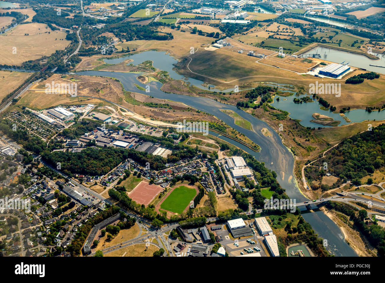 Neue Lippedelta, Lippemündung, River Lippe, Rhine river, Lippeverband, Wesel, Ruhr Area, Nordrhein-Westfalen, Germany, DEU, Europa, aerial photograph, Stock Photohttps://www.alamy.com/image-license-details/?v=1https://www.alamy.com/neue-lippedelta-lippemndung-river-lippe-rhine-river-lippeverband-wesel-ruhr-area-nordrhein-westfalen-germany-deu-europa-aerial-photograph-image216624706.html
RMPGC30J–Neue Lippedelta, Lippemündung, River Lippe, Rhine river, Lippeverband, Wesel, Ruhr Area, Nordrhein-Westfalen, Germany, DEU, Europa, aerial photograph,
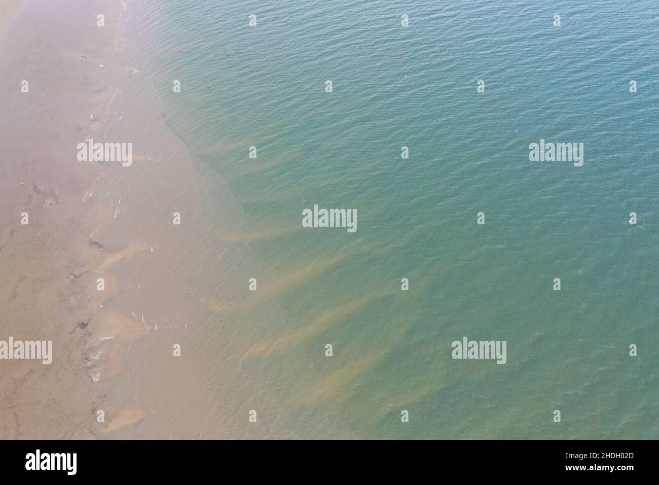 Aerial Photograph of Llangennech Marshland and River Loughor. Stock Photohttps://www.alamy.com/image-license-details/?v=1https://www.alamy.com/aerial-photograph-of-llangennech-marshland-and-river-loughor-image455833349.html
RM2HDH02D–Aerial Photograph of Llangennech Marshland and River Loughor.
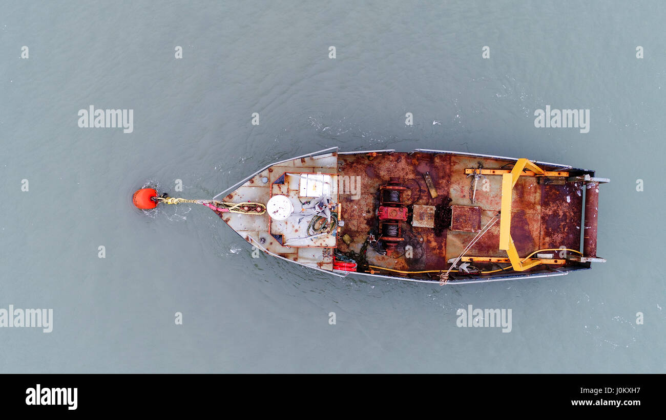 Aerial photographs of Aberdovey & the Dovey River. Taken with a Drone by Professional Operators Stock Photohttps://www.alamy.com/image-license-details/?v=1https://www.alamy.com/stock-photo-aerial-photographs-of-aberdovey-the-dovey-river-taken-with-a-drone-138120899.html
RMJ0KXH7–Aerial photographs of Aberdovey & the Dovey River. Taken with a Drone by Professional Operators
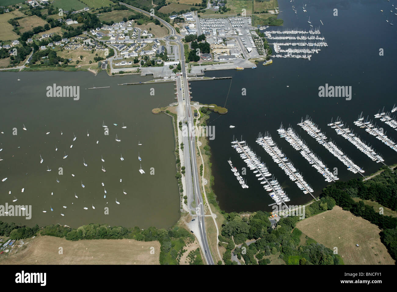 Aerial view of the Arzal Dam Stock Photohttps://www.alamy.com/image-license-details/?v=1https://www.alamy.com/stock-photo-aerial-view-of-the-arzal-dam-30394085.html
RMBNCFY1–Aerial view of the Arzal Dam
 A photograph taken from the air looking at the river Dart from Dartmouth. Stock Photohttps://www.alamy.com/image-license-details/?v=1https://www.alamy.com/a-photograph-taken-from-the-air-looking-at-the-river-dart-from-dartmouth-image177770188.html
RFM963K8–A photograph taken from the air looking at the river Dart from Dartmouth.
 Le Verdon sur Mer (south western France): aerial view of the Lighthouse of Cordouan at the mouth of the Gironde estuary Stock Photohttps://www.alamy.com/image-license-details/?v=1https://www.alamy.com/le-verdon-sur-mer-south-western-france-aerial-view-of-the-lighthouse-of-cordouan-at-the-mouth-of-the-gironde-estuary-image439233650.html
RM2GEGR02–Le Verdon sur Mer (south western France): aerial view of the Lighthouse of Cordouan at the mouth of the Gironde estuary
 Lymington estuary from the air Stock Photohttps://www.alamy.com/image-license-details/?v=1https://www.alamy.com/lymington-estuary-from-the-air-image269257369.html
RFWJ1MEH–Lymington estuary from the air
 Vjosa, Fluß, Fluss, Wildfluß, Wildfluss Vjosa, Vjosë, Aoos, Mündungsbrereich, Mündung, Flussdelta, Flußdelta, Mündet ins Mittelmeer, Ästuar, Nationalp Stock Photohttps://www.alamy.com/image-license-details/?v=1https://www.alamy.com/vjosa-flu-fluss-wildflu-wildfluss-vjosa-vjos-aoos-mndungsbrereich-mndung-flussdelta-fludelta-mndet-ins-mittelmeer-stuar-nationalp-image594107942.html
RM2WEFXMP–Vjosa, Fluß, Fluss, Wildfluß, Wildfluss Vjosa, Vjosë, Aoos, Mündungsbrereich, Mündung, Flussdelta, Flußdelta, Mündet ins Mittelmeer, Ästuar, Nationalp
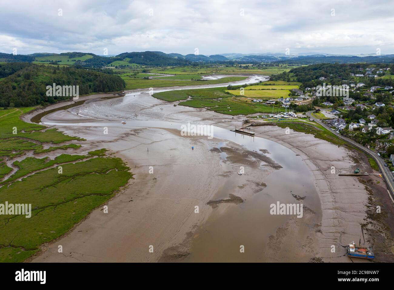 Aerial view of Kippford and the River Urr estuary at low tide, Kirkcudbrightshire, Dumfries and Galloway, Scotland. Stock Photohttps://www.alamy.com/image-license-details/?v=1https://www.alamy.com/aerial-view-of-kippford-and-the-river-urr-estuary-at-low-tide-kirkcudbrightshire-dumfries-and-galloway-scotland-image367208275.html
RM2C9BNW7–Aerial view of Kippford and the River Urr estuary at low tide, Kirkcudbrightshire, Dumfries and Galloway, Scotland.
 Tidal flats Skagit County Stock Photohttps://www.alamy.com/image-license-details/?v=1https://www.alamy.com/stock-photo-tidal-flats-skagit-county-124801207.html
RMH7155Y–Tidal flats Skagit County
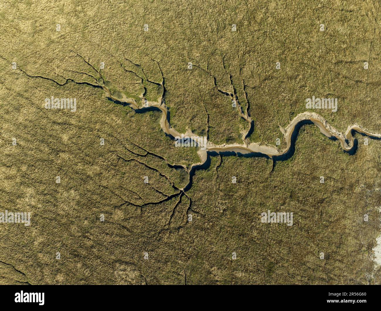 Estuary Channel in Lancashire 3 Stock Photohttps://www.alamy.com/image-license-details/?v=1https://www.alamy.com/estuary-channel-in-lancashire-3-image553949480.html
RF2R56G60–Estuary Channel in Lancashire 3
 Aerial view, river Lippe estuary, Rhine river, Rhine bridge, running off flood, Wesel, Ruhrgebiet region, North Rhine-Westphalia Stock Photohttps://www.alamy.com/image-license-details/?v=1https://www.alamy.com/stock-photo-aerial-view-river-lippe-estuary-rhine-river-rhine-bridge-running-off-34032446.html
RMBYA8ME–Aerial view, river Lippe estuary, Rhine river, Rhine bridge, running off flood, Wesel, Ruhrgebiet region, North Rhine-Westphalia
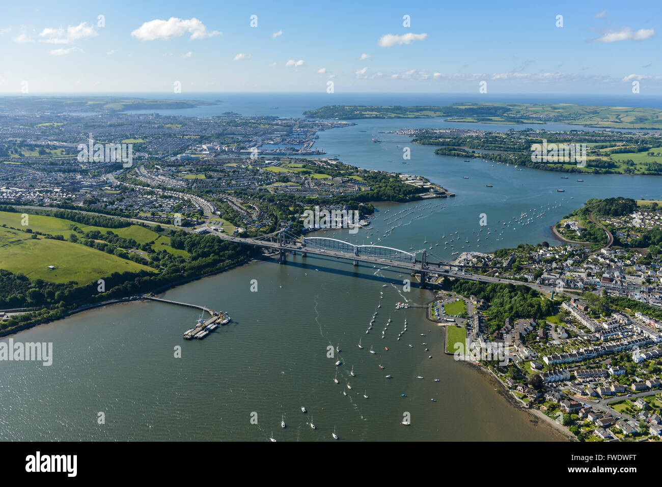 An aerial view of the Tamar Estuary with the road and railway bridges visible Stock Photohttps://www.alamy.com/image-license-details/?v=1https://www.alamy.com/stock-photo-an-aerial-view-of-the-tamar-estuary-with-the-road-and-railway-bridges-101723660.html
RMFWDWFT–An aerial view of the Tamar Estuary with the road and railway bridges visible
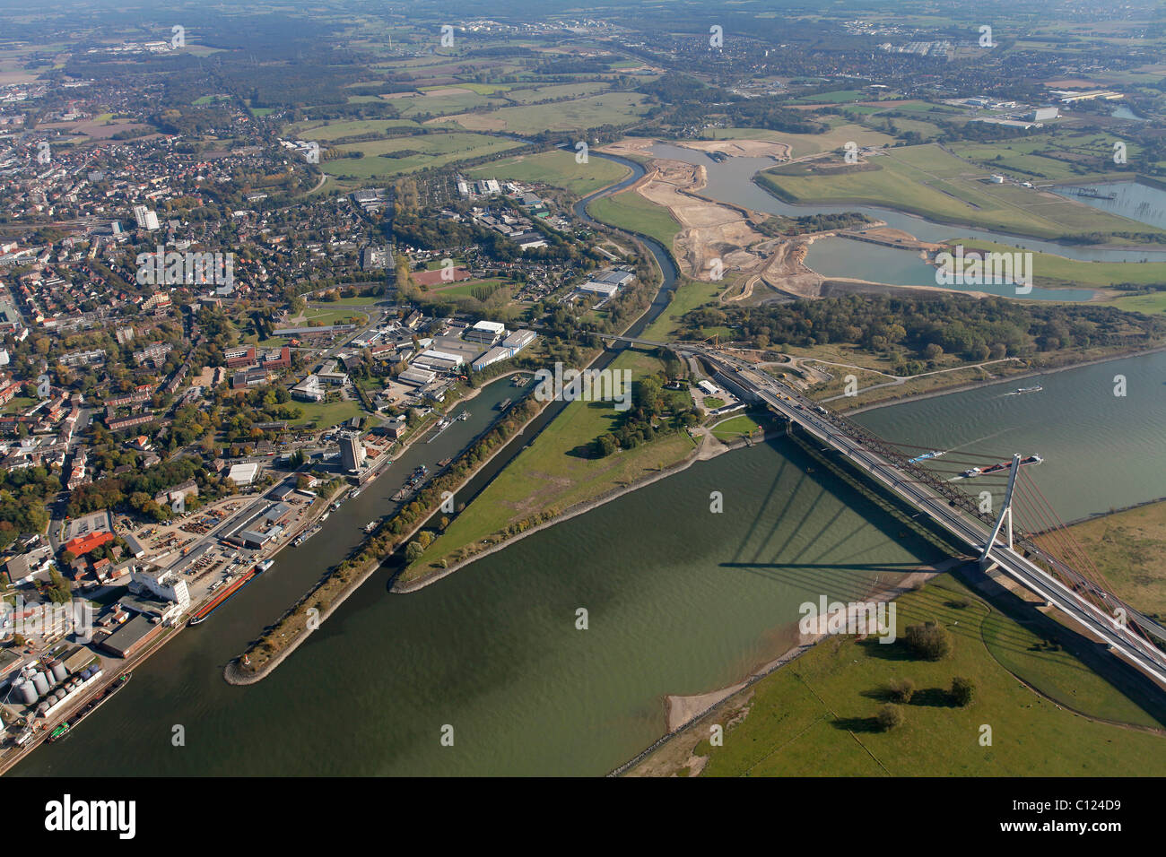 Aerial view, Buederich, Wesel, estuary of the Lippe and the Wesel-Datteln Canal into the Rhine river, North Rhine-Westphalia Stock Photohttps://www.alamy.com/image-license-details/?v=1https://www.alamy.com/stock-photo-aerial-view-buederich-wesel-estuary-of-the-lippe-and-the-wesel-datteln-35082805.html
RMC124D9–Aerial view, Buederich, Wesel, estuary of the Lippe and the Wesel-Datteln Canal into the Rhine river, North Rhine-Westphalia
 Abstract aerial photograph of the Chemainus River Estuary, Vancouver Island, British Columbia, Canada. Stock Photohttps://www.alamy.com/image-license-details/?v=1https://www.alamy.com/abstract-aerial-photograph-of-the-chemainus-river-estuary-vancouver-island-british-columbia-canada-image425507124.html
RM2FM7EK0–Abstract aerial photograph of the Chemainus River Estuary, Vancouver Island, British Columbia, Canada.
 Estuary and settlement, aerial photo between Madang and Goroka, Papua New Guinea, Melanesia Stock Photohttps://www.alamy.com/image-license-details/?v=1https://www.alamy.com/stock-photo-estuary-and-settlement-aerial-photo-between-madang-and-goroka-papua-18702704.html
RMB2BYDM–Estuary and settlement, aerial photo between Madang and Goroka, Papua New Guinea, Melanesia
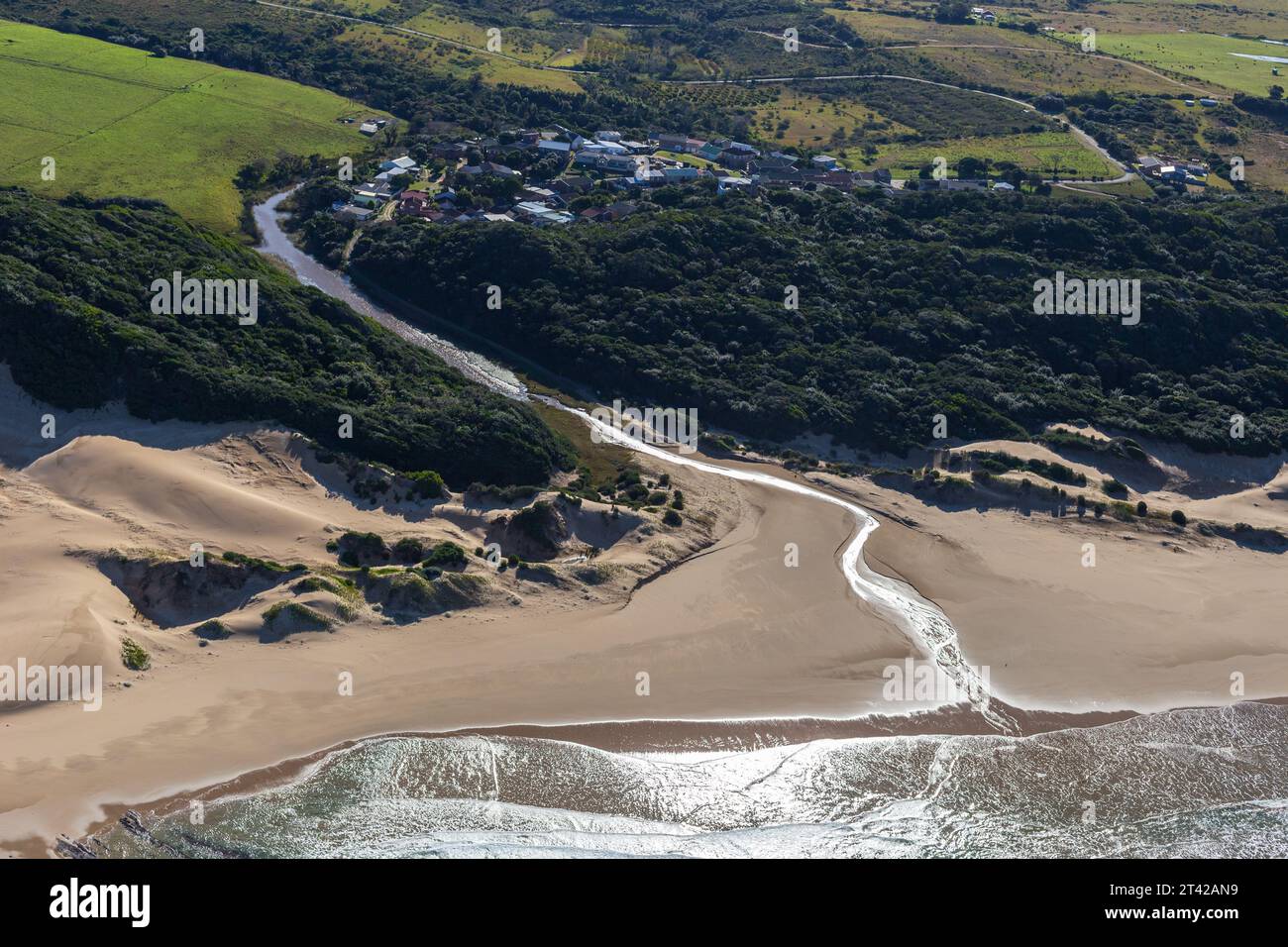 Aerial landscape photograph of Cosy Corner, a small coastal village on the Eastern Cape Coastline near East London. Stock Photohttps://www.alamy.com/image-license-details/?v=1https://www.alamy.com/aerial-landscape-photograph-of-cosy-corner-a-small-coastal-village-on-the-eastern-cape-coastline-near-east-london-image570453109.html
RM2T42AN9–Aerial landscape photograph of Cosy Corner, a small coastal village on the Eastern Cape Coastline near East London.