Aerial rainforest river Stock Photos and Images
(10,687)See aerial rainforest river stock video clipsQuick filters:
Aerial rainforest river Stock Photos and Images
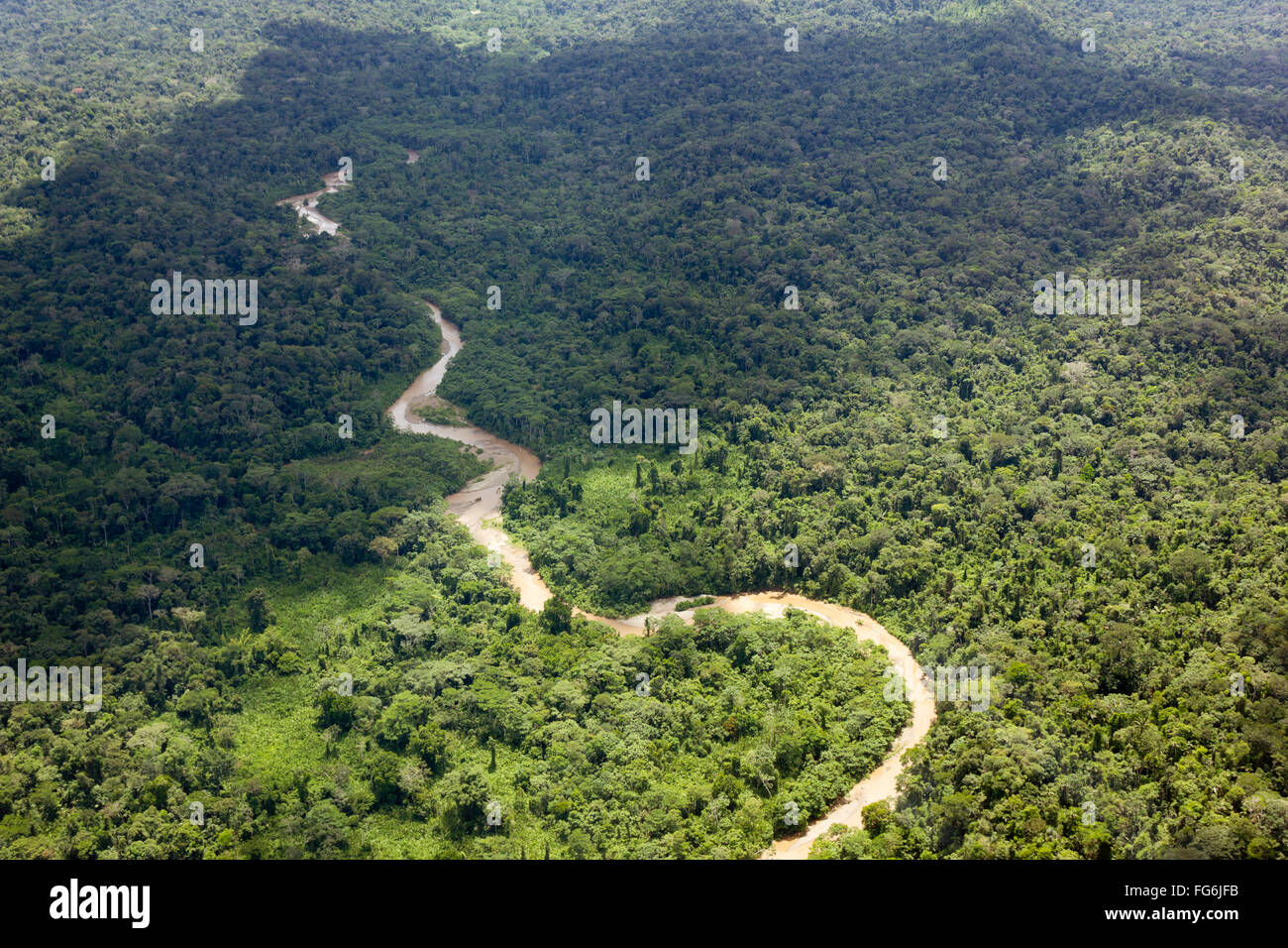 Aerial view of a river running through lowland Amazonian rainforest in Pastaza Province, Ecuador Stock Photohttps://www.alamy.com/image-license-details/?v=1https://www.alamy.com/stock-photo-aerial-view-of-a-river-running-through-lowland-amazonian-rainforest-96032591.html
RMFG6JFB–Aerial view of a river running through lowland Amazonian rainforest in Pastaza Province, Ecuador
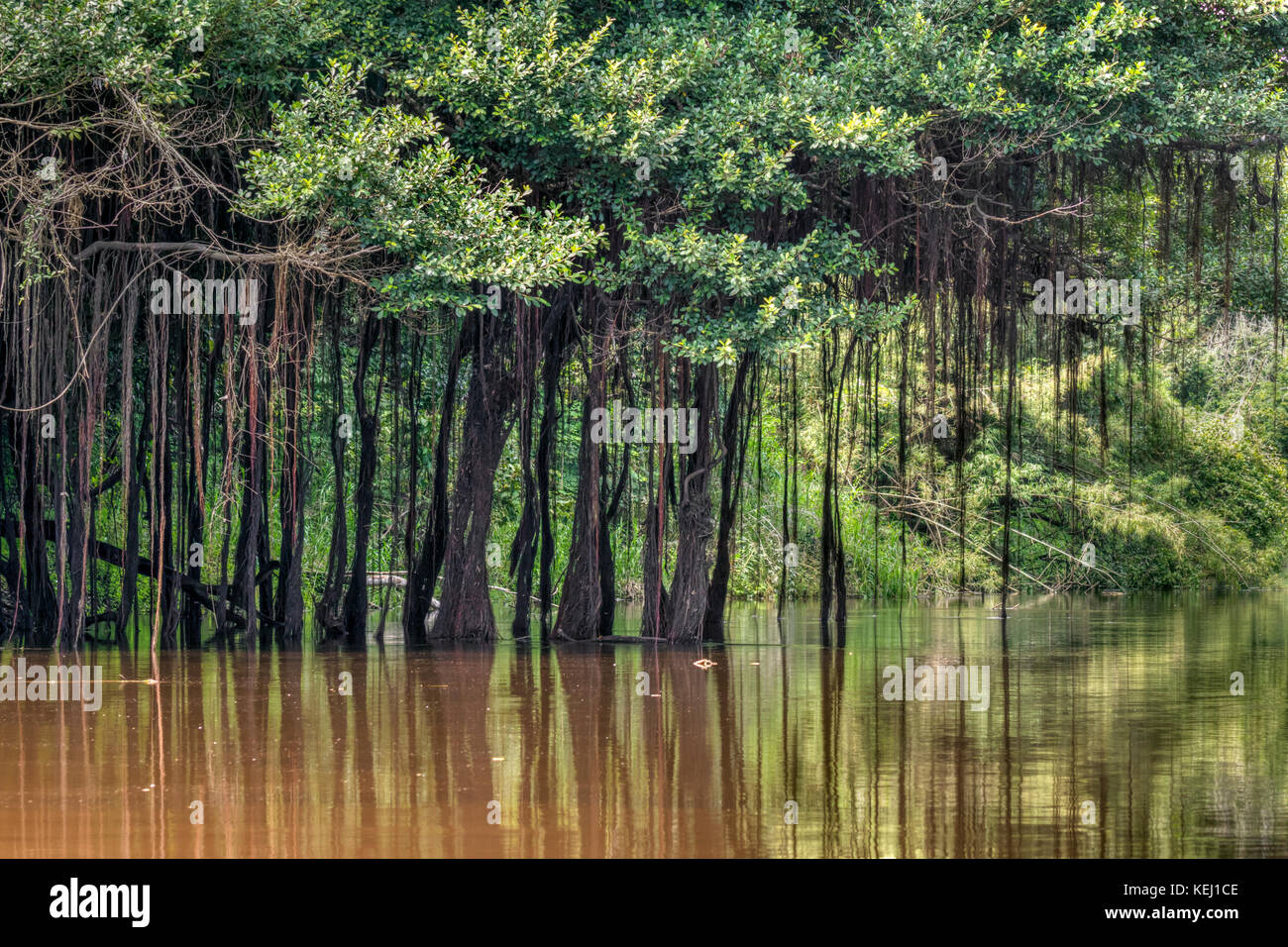 Amazon rainforest with aerial roots hanging from trees, Pacaya Samiria National Reserve, Yanayacu River, Peru Stock Photohttps://www.alamy.com/image-license-details/?v=1https://www.alamy.com/stock-image-amazon-rainforest-with-aerial-roots-hanging-from-trees-pacaya-samiria-163894766.html
RFKEJ1CE–Amazon rainforest with aerial roots hanging from trees, Pacaya Samiria National Reserve, Yanayacu River, Peru
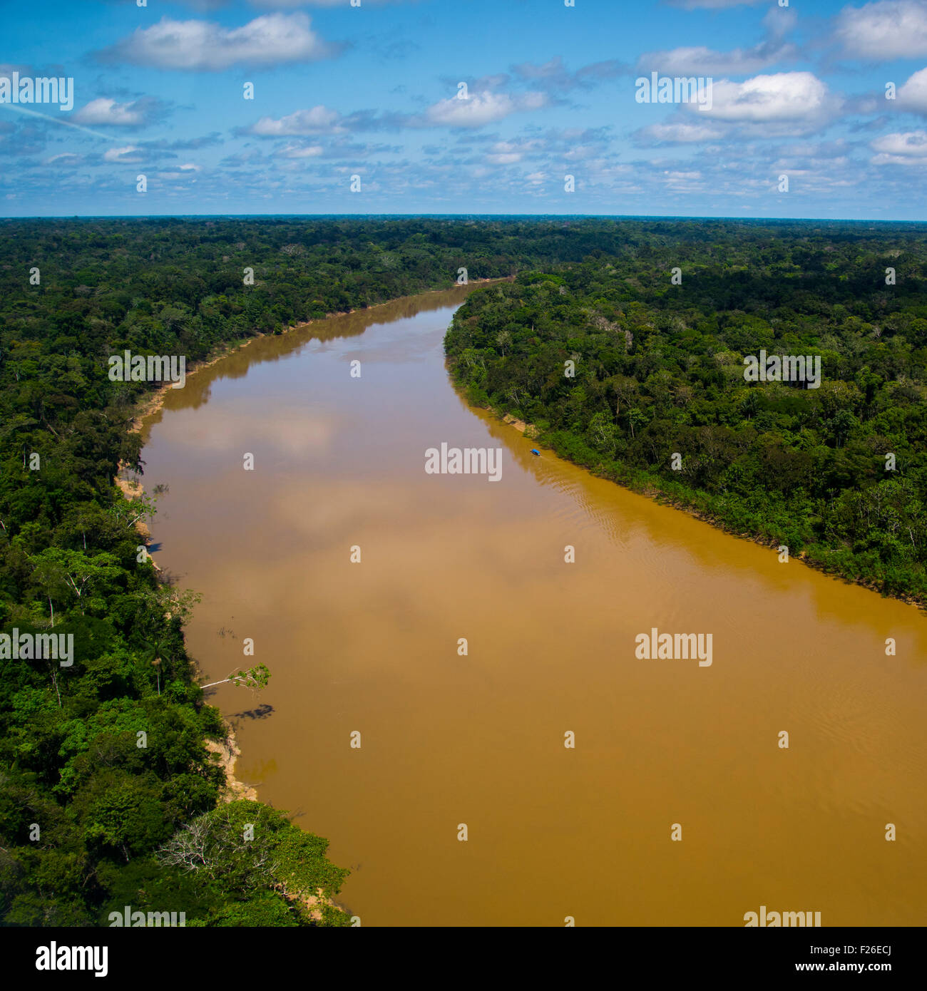 Rainforest aerial, Yavari River and forest Stock Photohttps://www.alamy.com/image-license-details/?v=1https://www.alamy.com/stock-photo-rainforest-aerial-yavari-river-and-forest-87424194.html
RFF26ECJ–Rainforest aerial, Yavari River and forest
 River in rainforest Stock Photohttps://www.alamy.com/image-license-details/?v=1https://www.alamy.com/stock-photo-river-in-rainforest-87075717.html
RFF1JHY1–River in rainforest
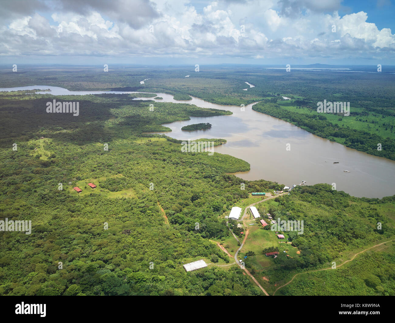 River in central america aerial drone view Stock Photohttps://www.alamy.com/image-license-details/?v=1https://www.alamy.com/stock-image-river-in-central-america-aerial-drone-view-160367014.html
RFK8W9NA–River in central america aerial drone view
 Rainforest Aerial Tram takes passengers over the Breakfast River Gorge Dominica West Indies Stock Photohttps://www.alamy.com/image-license-details/?v=1https://www.alamy.com/stock-photo-rainforest-aerial-tram-takes-passengers-over-the-breakfast-river-gorge-18734950.html
RMB2DCHA–Rainforest Aerial Tram takes passengers over the Breakfast River Gorge Dominica West Indies
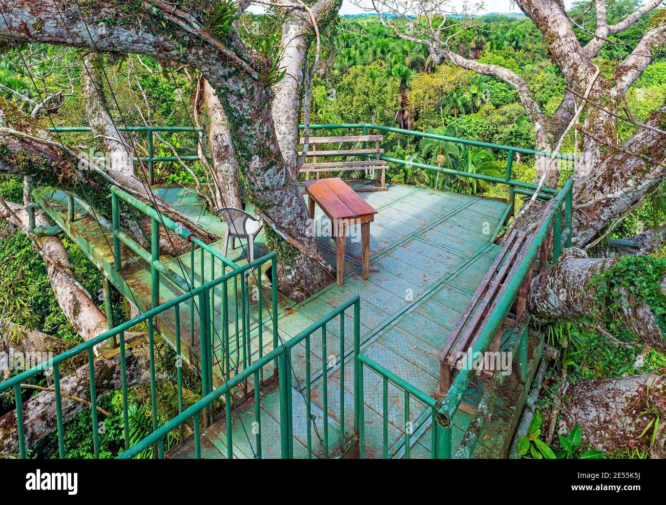 Bird watching observation platform in the Amazon rainforest, Yasuni national park, Ecuador. Stock Photohttps://www.alamy.com/image-license-details/?v=1https://www.alamy.com/bird-watching-observation-platform-in-the-amazon-rainforest-yasuni-national-park-ecuador-image399036558.html
RF2E55K5J–Bird watching observation platform in the Amazon rainforest, Yasuni national park, Ecuador.
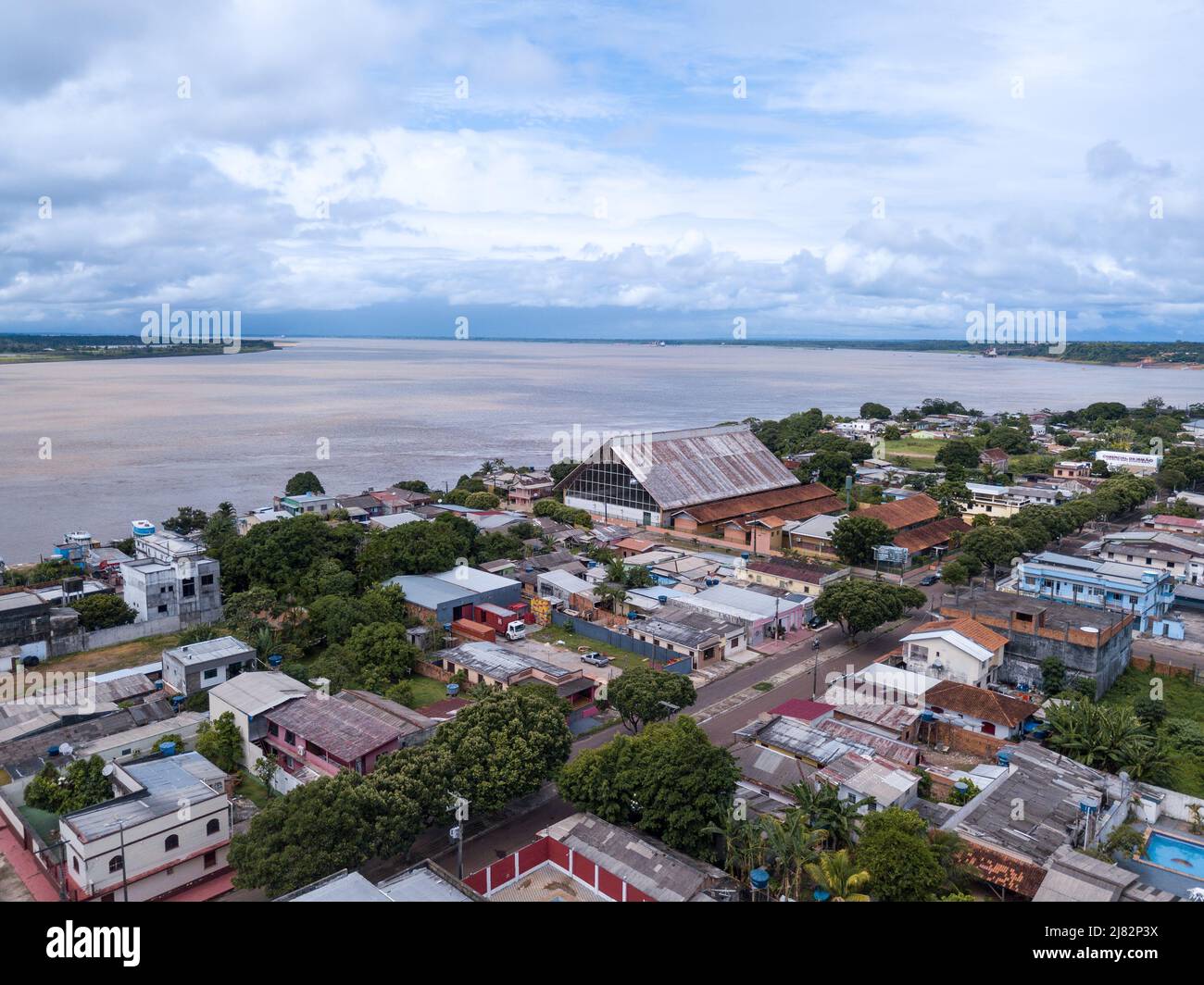 Beautiful drone aerial view of Amazonas river and Itacoatiara city skyline in the Amazon rainforest, Brazil. Environment, ecology, cityscape concept. Stock Photohttps://www.alamy.com/image-license-details/?v=1https://www.alamy.com/beautiful-drone-aerial-view-of-amazonas-river-and-itacoatiara-city-skyline-in-the-amazon-rainforest-brazil-environment-ecology-cityscape-concept-image469658446.html
RF2J82P3X–Beautiful drone aerial view of Amazonas river and Itacoatiara city skyline in the Amazon rainforest, Brazil. Environment, ecology, cityscape concept.
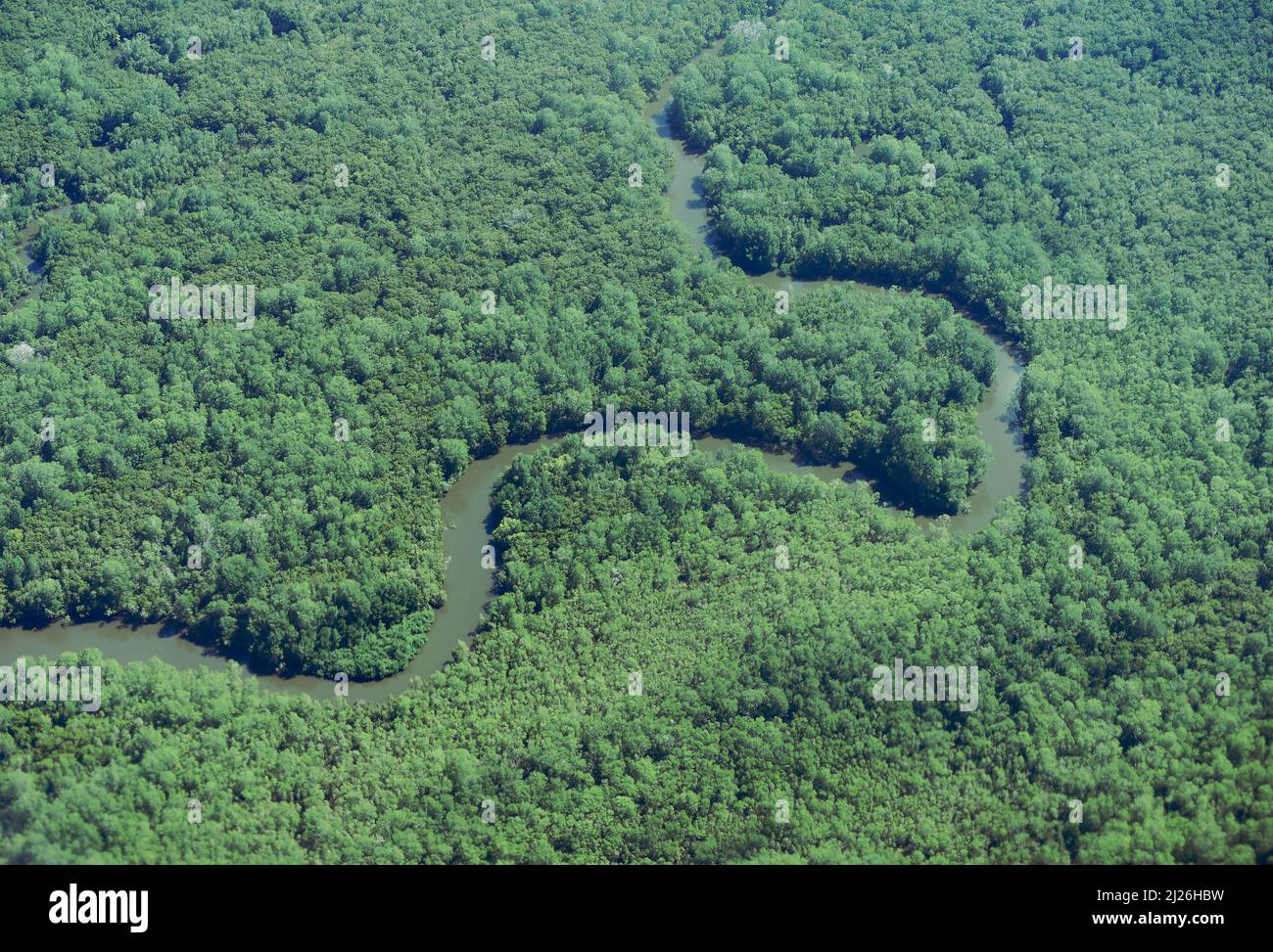 Aerial view of Panama Rainforest with wild river Stock Photohttps://www.alamy.com/image-license-details/?v=1https://www.alamy.com/aerial-view-of-panama-rainforest-with-wild-river-image466054621.html
RF2J26HBW–Aerial view of Panama Rainforest with wild river
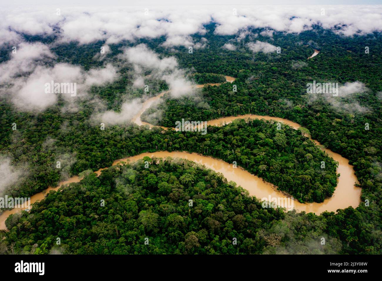 Aerial Drone shot of Ecuadorian Amazon Rainforest Stock Photohttps://www.alamy.com/image-license-details/?v=1https://www.alamy.com/aerial-drone-shot-of-ecuadorian-amazon-rainforest-image467116857.html
RM2J3Y08W–Aerial Drone shot of Ecuadorian Amazon Rainforest
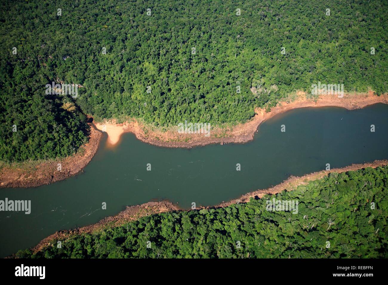 Aerial photo of the Rio Iguacu river in the Brazilian rainforest, Parana, Brazil, South America Stock Photohttps://www.alamy.com/image-license-details/?v=1https://www.alamy.com/aerial-photo-of-the-rio-iguacu-river-in-the-brazilian-rainforest-parana-brazil-south-america-image232593641.html
RMREBFFN–Aerial photo of the Rio Iguacu river in the Brazilian rainforest, Parana, Brazil, South America
 Rainforest aerial, Potaro river, Guyana, South America. Stock Photohttps://www.alamy.com/image-license-details/?v=1https://www.alamy.com/stock-photo-rainforest-aerial-potaro-river-guyana-south-america-33278192.html
RMBX3XJT–Rainforest aerial, Potaro river, Guyana, South America.
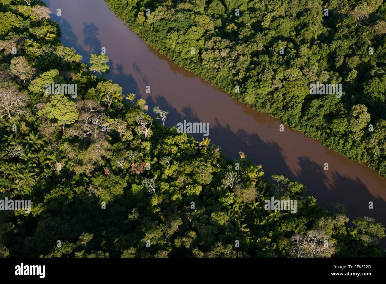 Aquidauana River passing through the forest in South Pantanal, Brazil Stock Photohttps://www.alamy.com/image-license-details/?v=1https://www.alamy.com/aquidauana-river-passing-through-the-forest-in-south-pantanal-brazil-image425058213.html
RM2FKF22D–Aquidauana River passing through the forest in South Pantanal, Brazil
 Aerial drone view of a long, brown winding river through tropical rainforest (Kinabatangan River, Borneo) Stock Photohttps://www.alamy.com/image-license-details/?v=1https://www.alamy.com/aerial-drone-view-of-a-long-brown-winding-river-through-tropical-rainforest-kinabatangan-river-borneo-image262215738.html
RFW6GXRP–Aerial drone view of a long, brown winding river through tropical rainforest (Kinabatangan River, Borneo)
 Kaieteur Falls, Potaro River, Kaieteur Falls National Park, Guyana Stock Photohttps://www.alamy.com/image-license-details/?v=1https://www.alamy.com/stock-photo-kaieteur-falls-potaro-river-kaieteur-falls-national-park-guyana-101895551.html
RMFWNMPR–Kaieteur Falls, Potaro River, Kaieteur Falls National Park, Guyana
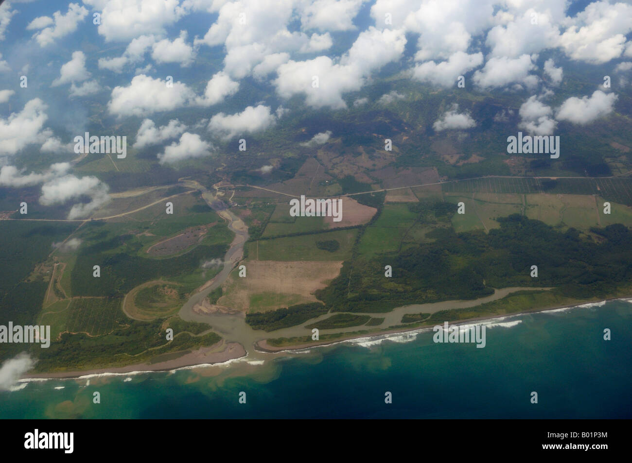 Aerial view of mouth of the Rio Savegre river emptying into the Pacific Ocean Costa Rica Stock Photohttps://www.alamy.com/image-license-details/?v=1https://www.alamy.com/stock-photo-aerial-view-of-mouth-of-the-rio-savegre-river-emptying-into-the-pacific-17249672.html
RFB01P3M–Aerial view of mouth of the Rio Savegre river emptying into the Pacific Ocean Costa Rica
 An aerial view of the Gardner Canal of the Pacific Ocean, and the mouth of the Kemano RIver, Kitlope, Great Bear Rainforest, British Columbia, Canada Stock Photohttps://www.alamy.com/image-license-details/?v=1https://www.alamy.com/an-aerial-view-of-the-gardner-canal-of-the-pacific-ocean-and-the-mouth-of-the-kemano-river-kitlope-great-bear-rainforest-british-columbia-canada-image355157919.html
RM2BHPRFB–An aerial view of the Gardner Canal of the Pacific Ocean, and the mouth of the Kemano RIver, Kitlope, Great Bear Rainforest, British Columbia, Canada
 Rainforest and river meander, Mulu, Malaysia Stock Photohttps://www.alamy.com/image-license-details/?v=1https://www.alamy.com/rainforest-and-river-meander-mulu-malaysia-image637740219.html
RM2S1FG4B–Rainforest and river meander, Mulu, Malaysia
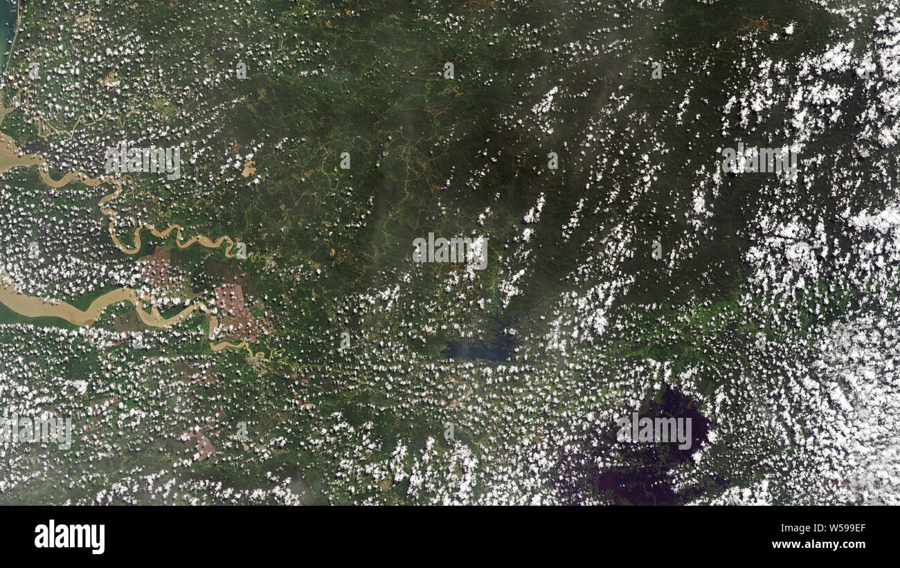 Aerial of the Sarawak River Delta on the island of Borneo in East Malaysia Stock Photohttps://www.alamy.com/image-license-details/?v=1https://www.alamy.com/aerial-of-the-sarawak-river-delta-on-the-island-of-borneo-in-east-malaysia-image261433831.html
RMW599EF–Aerial of the Sarawak River Delta on the island of Borneo in East Malaysia
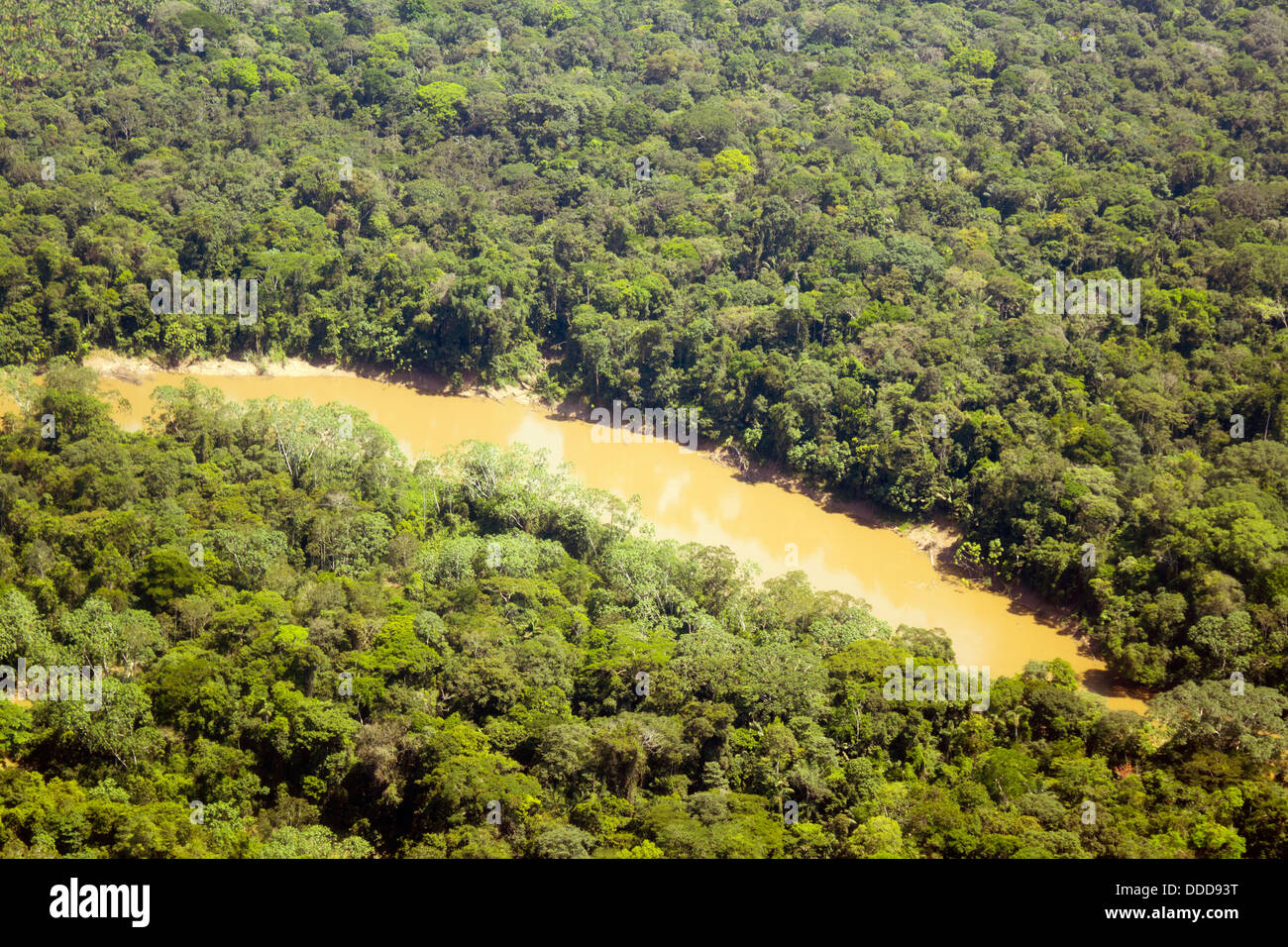 The Cononaco river in the Ecuadorian Amazon from the air Stock Photohttps://www.alamy.com/image-license-details/?v=1https://www.alamy.com/stock-photo-the-cononaco-river-in-the-ecuadorian-amazon-from-the-air-59914172.html
RFDDD93T–The Cononaco river in the Ecuadorian Amazon from the air
 Aerial photo of rainforest and coast near Sirena Ranger Station. River Claro in foreground and River Sirena in background. Stock Photohttps://www.alamy.com/image-license-details/?v=1https://www.alamy.com/stock-photo-aerial-photo-of-rainforest-and-coast-near-sirena-ranger-station-river-75359108.html
RMEAGW8M–Aerial photo of rainforest and coast near Sirena Ranger Station. River Claro in foreground and River Sirena in background.
 Rainforest aerial, Yavari River and primary forest, Amazon Region, Peru Stock Photohttps://www.alamy.com/image-license-details/?v=1https://www.alamy.com/stock-photo-rainforest-aerial-yavari-river-and-primary-forest-amazon-region-peru-87423116.html
RFF26D24–Rainforest aerial, Yavari River and primary forest, Amazon Region, Peru
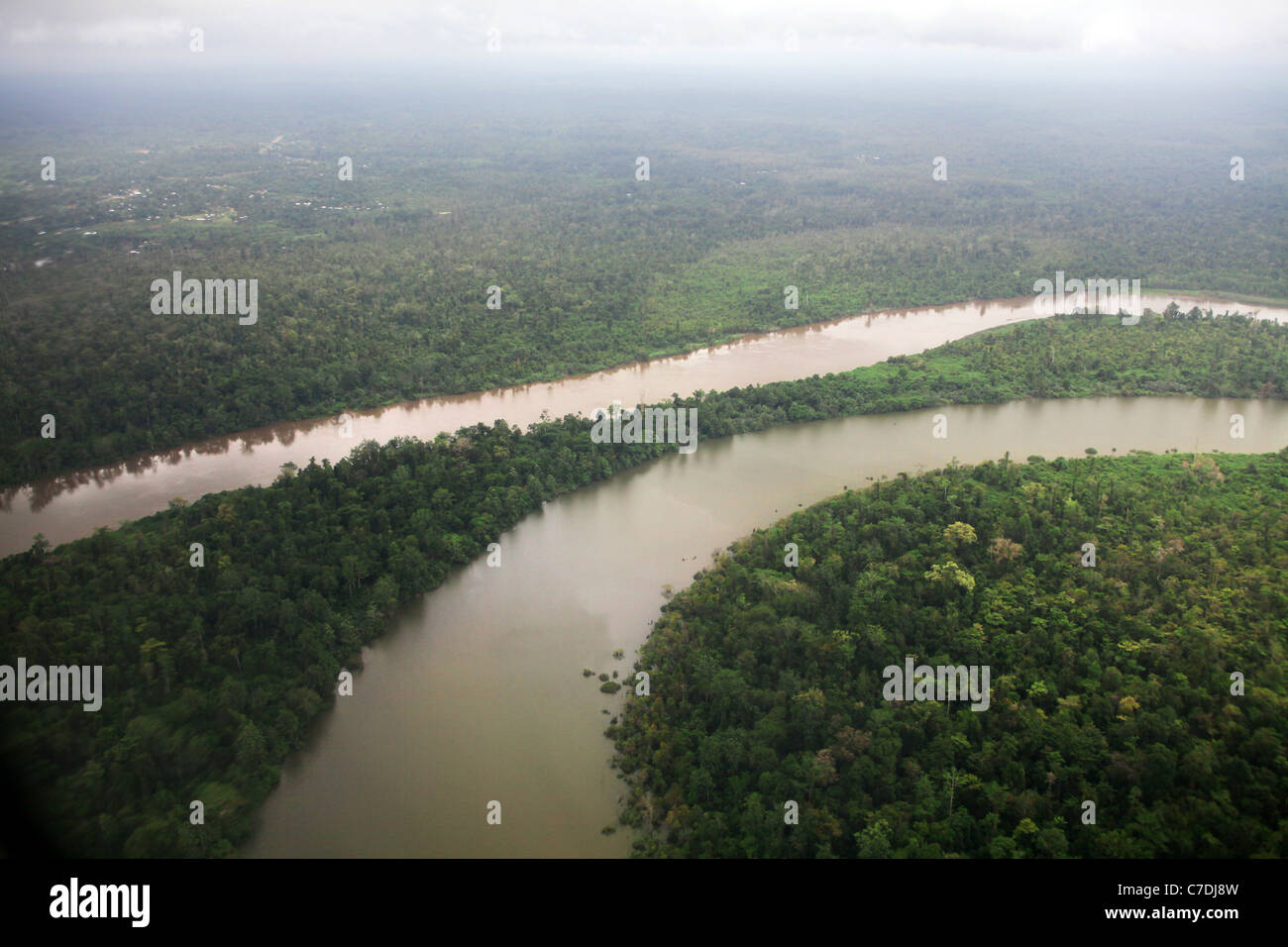 Fly River, Rainforest, Western Province, Papua New Guinea Stock Photohttps://www.alamy.com/image-license-details/?v=1https://www.alamy.com/stock-photo-fly-river-rainforest-western-province-papua-new-guinea-39023065.html
RMC7DJ8W–Fly River, Rainforest, Western Province, Papua New Guinea
 An aerial view of the mouth of the Daintree River, Queensland Stock Photohttps://www.alamy.com/image-license-details/?v=1https://www.alamy.com/an-aerial-view-of-the-mouth-of-the-daintree-river-queensland-image178981265.html
RMMB58C1–An aerial view of the mouth of the Daintree River, Queensland
 Rainforest Aerial Tram takes passengers over the Breakfast River Gorge Dominica West Indies Stock Photohttps://www.alamy.com/image-license-details/?v=1https://www.alamy.com/stock-photo-rainforest-aerial-tram-takes-passengers-over-the-breakfast-river-gorge-18734504.html
RMB2DC1C–Rainforest Aerial Tram takes passengers over the Breakfast River Gorge Dominica West Indies
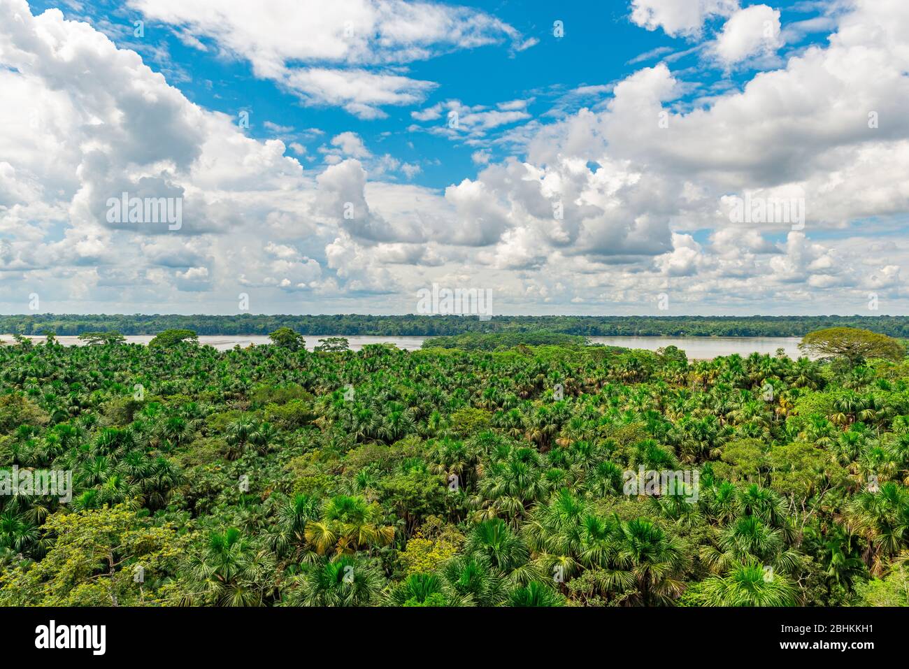 Aerial view of the Amazon Rainforest and the Napo River, Yasuni national park, Ecuador. Stock Photohttps://www.alamy.com/image-license-details/?v=1https://www.alamy.com/aerial-view-of-the-amazon-rainforest-and-the-napo-river-yasuni-national-park-ecuador-image355088973.html
RF2BHKKH1–Aerial view of the Amazon Rainforest and the Napo River, Yasuni national park, Ecuador.
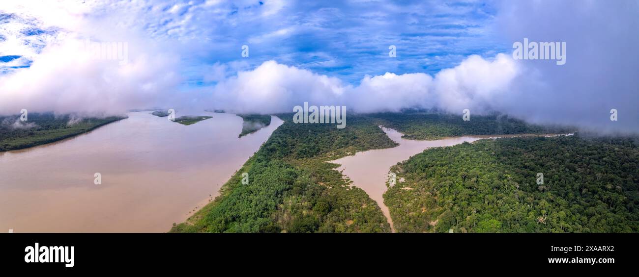 Beautiful aerial view of Amazon rainforest, the largest tropical forest in the world. Madeira river water and forest trees landscape at summer dusk. Stock Photohttps://www.alamy.com/image-license-details/?v=1https://www.alamy.com/beautiful-aerial-view-of-amazon-rainforest-the-largest-tropical-forest-in-the-world-madeira-river-water-and-forest-trees-landscape-at-summer-dusk-image608747722.html
RF2XAARX2–Beautiful aerial view of Amazon rainforest, the largest tropical forest in the world. Madeira river water and forest trees landscape at summer dusk.
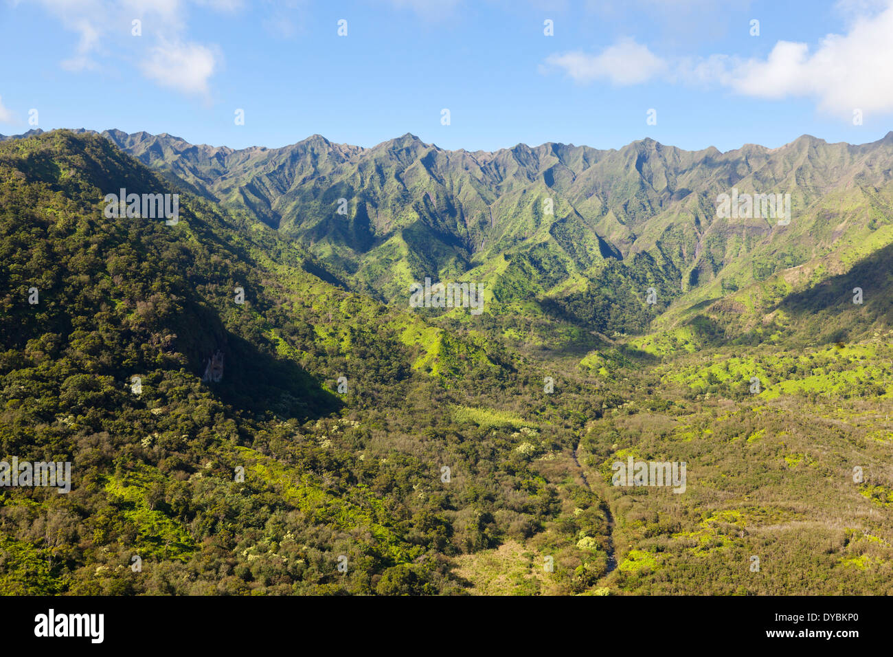 Stunning green rainforest landscape in the center of Kauai, Hawaii. Aerial shot from helicopter. Stock Photohttps://www.alamy.com/image-license-details/?v=1https://www.alamy.com/stunning-green-rainforest-landscape-in-the-center-of-kauai-hawaii-image68483800.html
RMDYBKP0–Stunning green rainforest landscape in the center of Kauai, Hawaii. Aerial shot from helicopter.
 Aerial view of Tiputini River and surrounding rainforest. Yasuni National Park, Amazon Rainforest, Ecuador, South America Stock Photohttps://www.alamy.com/image-license-details/?v=1https://www.alamy.com/aerial-view-of-tiputini-river-and-surrounding-rainforest-yasuni-national-park-amazon-rainforest-ecuador-south-america-image263057134.html
RMW7Y81J–Aerial view of Tiputini River and surrounding rainforest. Yasuni National Park, Amazon Rainforest, Ecuador, South America
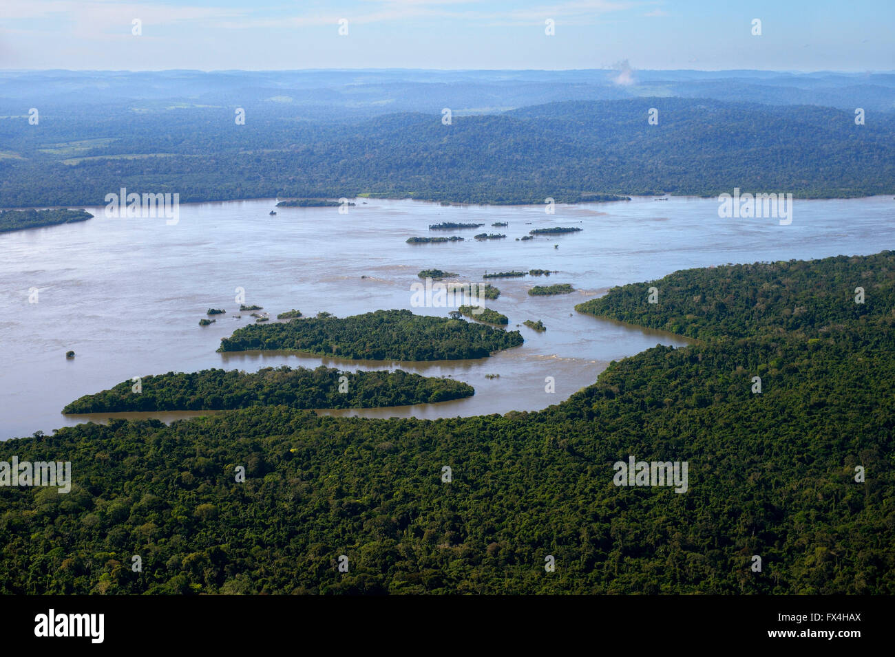 Aerial view, river Rio Tapajos and Amazon rainforest, Itaituba, Pará state, Brazil Stock Photohttps://www.alamy.com/image-license-details/?v=1https://www.alamy.com/stock-photo-aerial-view-river-rio-tapajos-and-amazon-rainforest-itaituba-par-state-102134338.html
RFFX4HAX–Aerial view, river Rio Tapajos and Amazon rainforest, Itaituba, Pará state, Brazil
 LOWLAND RIVER and rainforest, near Georgetown, Guyana, South America. Stock Photohttps://www.alamy.com/image-license-details/?v=1https://www.alamy.com/lowland-river-and-rainforest-near-georgetown-guyana-south-america-image331247006.html
RM2A6WGX6–LOWLAND RIVER and rainforest, near Georgetown, Guyana, South America.
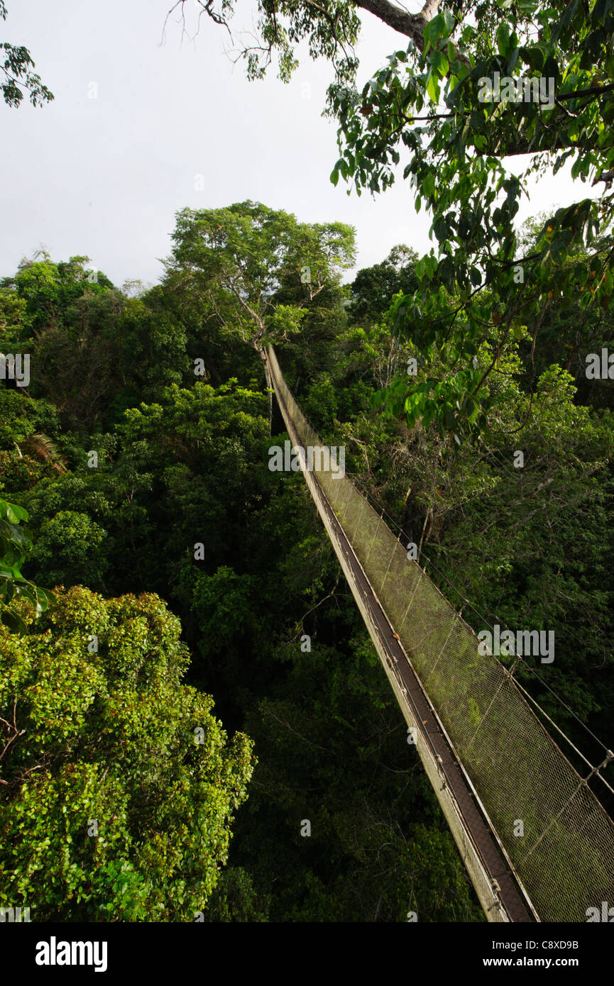 Aerial walkway through Rainforest canopy Exploramo Lodge Iquitos Region River Amazon Peru Stock Photohttps://www.alamy.com/image-license-details/?v=1https://www.alamy.com/stock-photo-aerial-walkway-through-rainforest-canopy-exploramo-lodge-iquitos-region-39919191.html
RMC8XD9B–Aerial walkway through Rainforest canopy Exploramo Lodge Iquitos Region River Amazon Peru
 Aerial drone view of a long, brown winding river through tropical rainforest (Kinabatangan River, Borneo) Stock Photohttps://www.alamy.com/image-license-details/?v=1https://www.alamy.com/aerial-drone-view-of-a-long-brown-winding-river-through-tropical-rainforest-kinabatangan-river-borneo-image262215749.html
RFW6GXT5–Aerial drone view of a long, brown winding river through tropical rainforest (Kinabatangan River, Borneo)
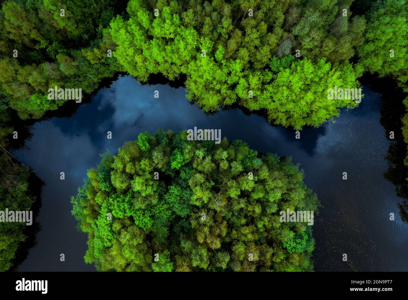 Aerial view of lush green rainforest canopy with tree covered islands surrounded by river water in a tropical Amazon or Thailand environment Stock Photohttps://www.alamy.com/image-license-details/?v=1https://www.alamy.com/aerial-view-of-lush-green-rainforest-canopy-with-tree-covered-islands-surrounded-by-river-water-in-a-tropical-amazon-or-thailand-environment-image443382471.html
RF2GN9PT7–Aerial view of lush green rainforest canopy with tree covered islands surrounded by river water in a tropical Amazon or Thailand environment
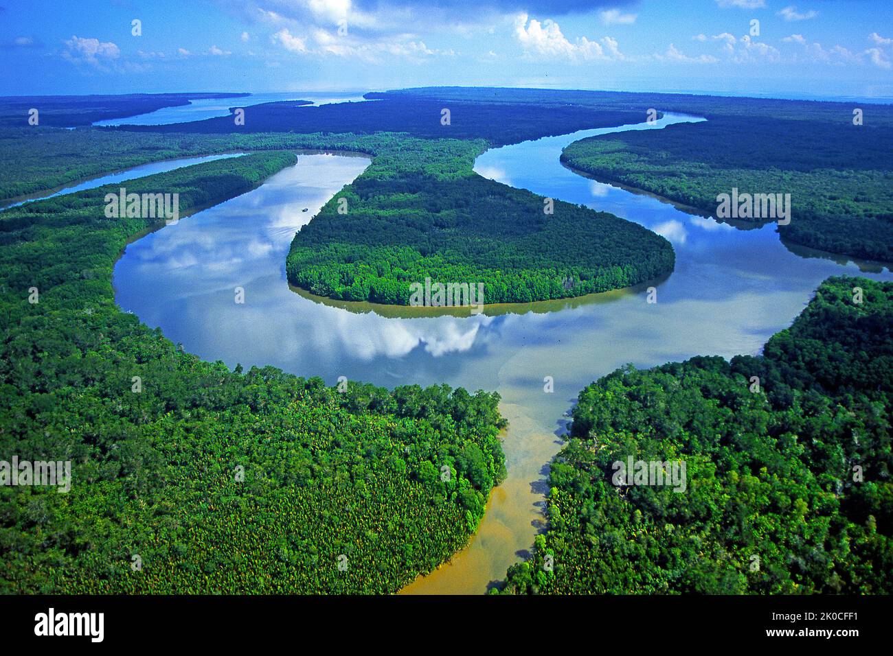 River at rain forest, Borneo, Kalimatan, Malaysia, Asia Stock Photohttps://www.alamy.com/image-license-details/?v=1https://www.alamy.com/river-at-rain-forest-borneo-kalimatan-malaysia-asia-image482165909.html
RM2K0CFF1–River at rain forest, Borneo, Kalimatan, Malaysia, Asia
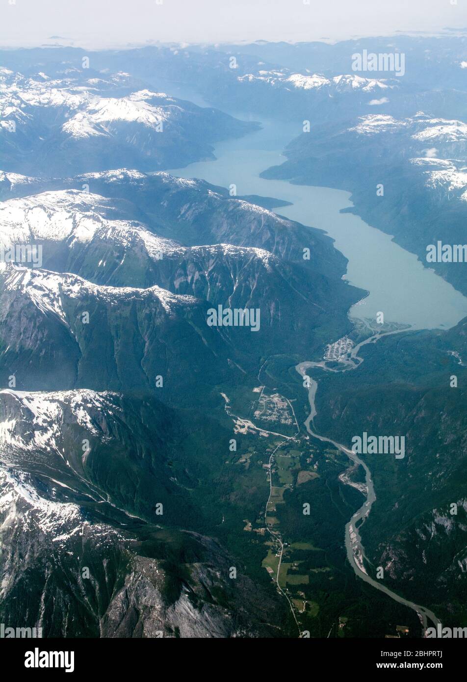 An aerial view of the lower Bella Coola River and Valley and the Pacific Ocean, in the Great Bear Rainforest, British Columbia coast, Canada. Stock Photohttps://www.alamy.com/image-license-details/?v=1https://www.alamy.com/an-aerial-view-of-the-lower-bella-coola-river-and-valley-and-the-pacific-ocean-in-the-great-bear-rainforest-british-columbia-coast-canada-image355158178.html
RM2BHPRTJ–An aerial view of the lower Bella Coola River and Valley and the Pacific Ocean, in the Great Bear Rainforest, British Columbia coast, Canada.
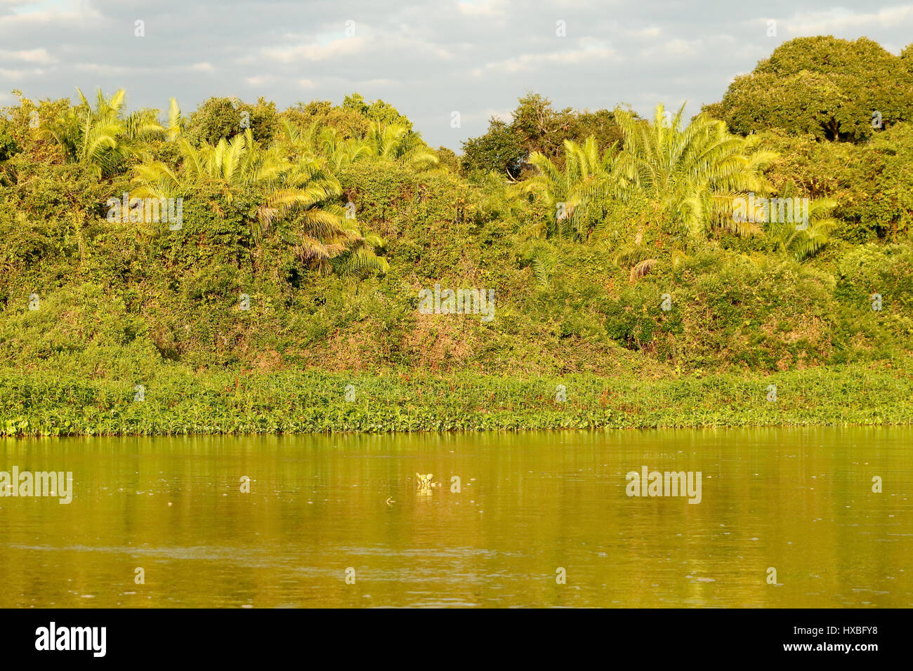 Sunrise on the banks of the Cuiaba River the Cuiaba River in the Pantanal region, Mato Grosso, Brazil, South America. Hanging aerial tree roots make Stock Photohttps://www.alamy.com/image-license-details/?v=1https://www.alamy.com/stock-photo-sunrise-on-the-banks-of-the-cuiaba-river-the-cuiaba-river-in-the-pantanal-136707628.html
RFHXBFY8–Sunrise on the banks of the Cuiaba River the Cuiaba River in the Pantanal region, Mato Grosso, Brazil, South America. Hanging aerial tree roots make
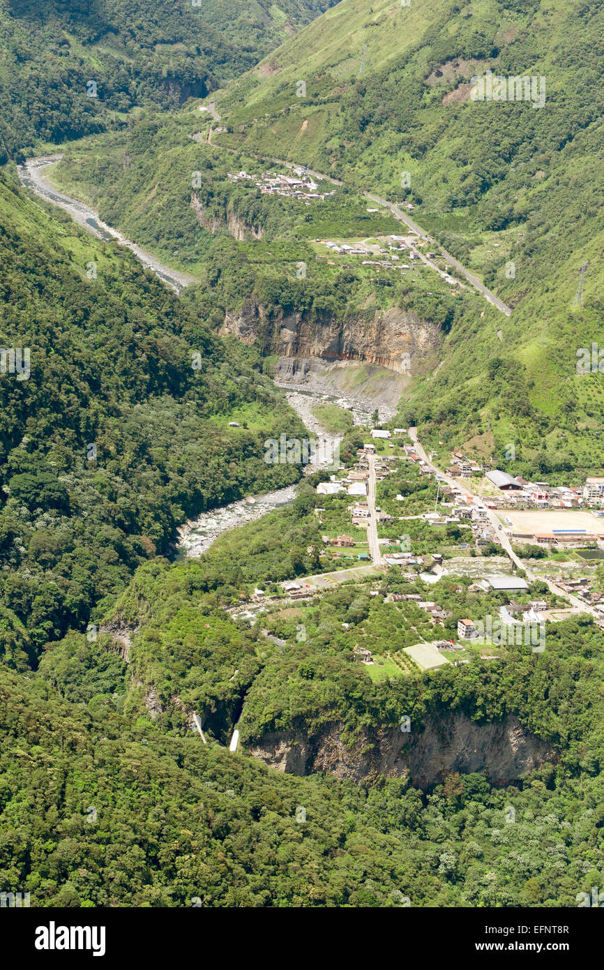 Rio Verde Village In Ecuadorian Andes Aerial Shot Stock Photohttps://www.alamy.com/image-license-details/?v=1https://www.alamy.com/stock-photo-rio-verde-village-in-ecuadorian-andes-aerial-shot-78541367.html
RFEFNT8R–Rio Verde Village In Ecuadorian Andes Aerial Shot
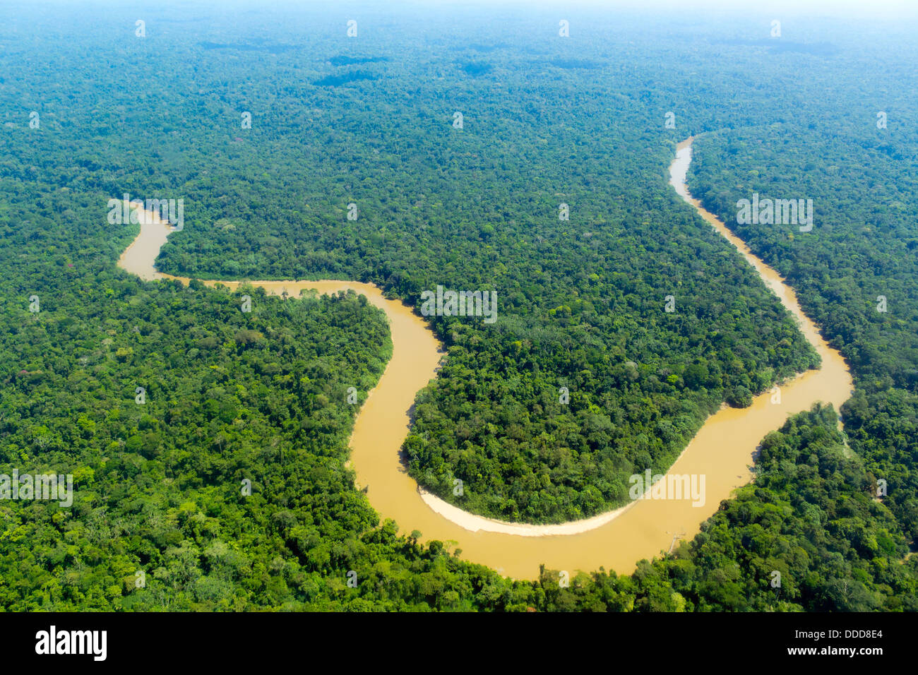 The Cononaco river in the Ecuadorian Amazon from the air Stock Photohttps://www.alamy.com/image-license-details/?v=1https://www.alamy.com/stock-photo-the-cononaco-river-in-the-ecuadorian-amazon-from-the-air-59913676.html
RFDDD8E4–The Cononaco river in the Ecuadorian Amazon from the air
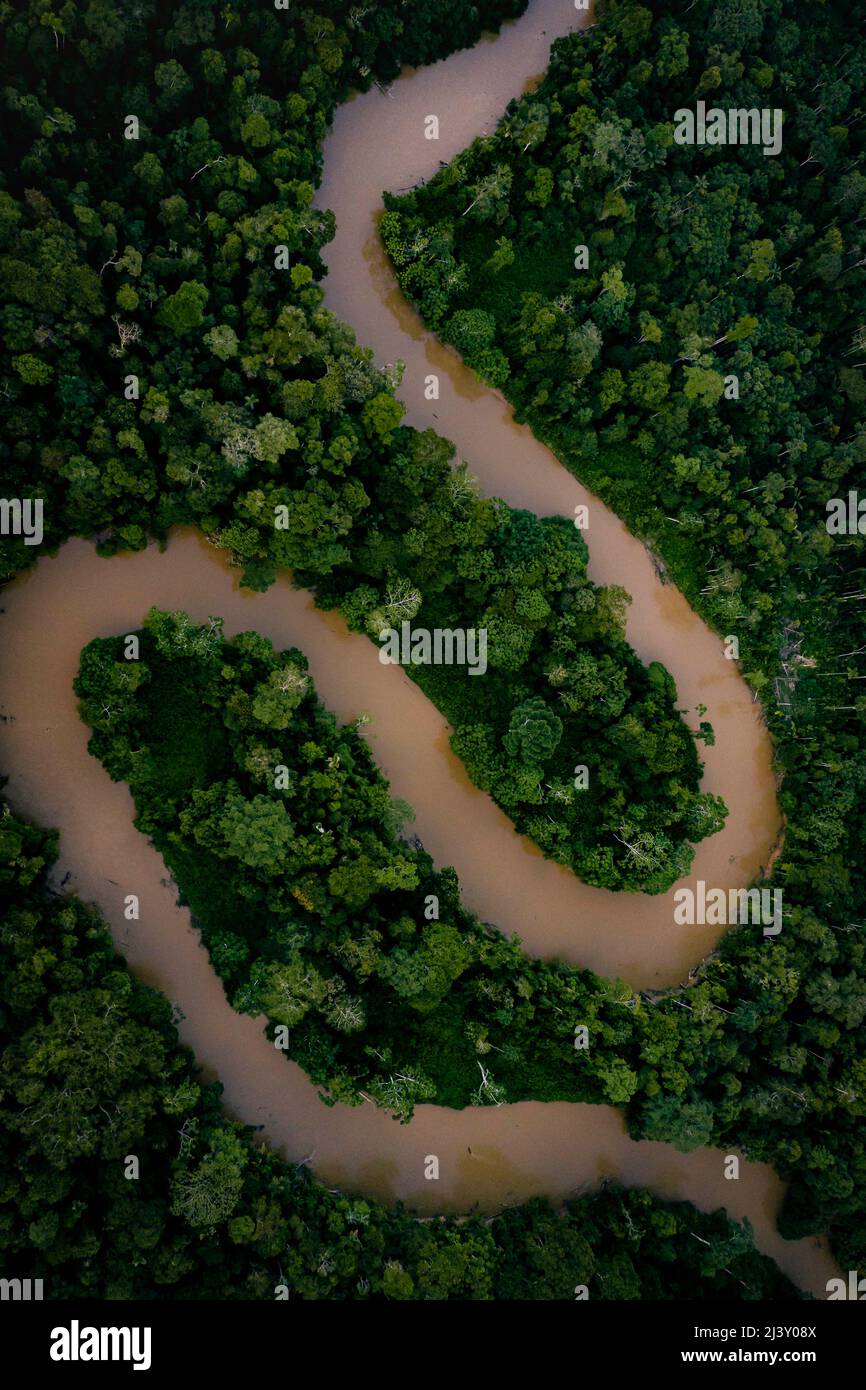 Aerial Drone shot of Ecuadorian Amazon Rainforest Stock Photohttps://www.alamy.com/image-license-details/?v=1https://www.alamy.com/aerial-drone-shot-of-ecuadorian-amazon-rainforest-image467116858.html
RM2J3Y08X–Aerial Drone shot of Ecuadorian Amazon Rainforest
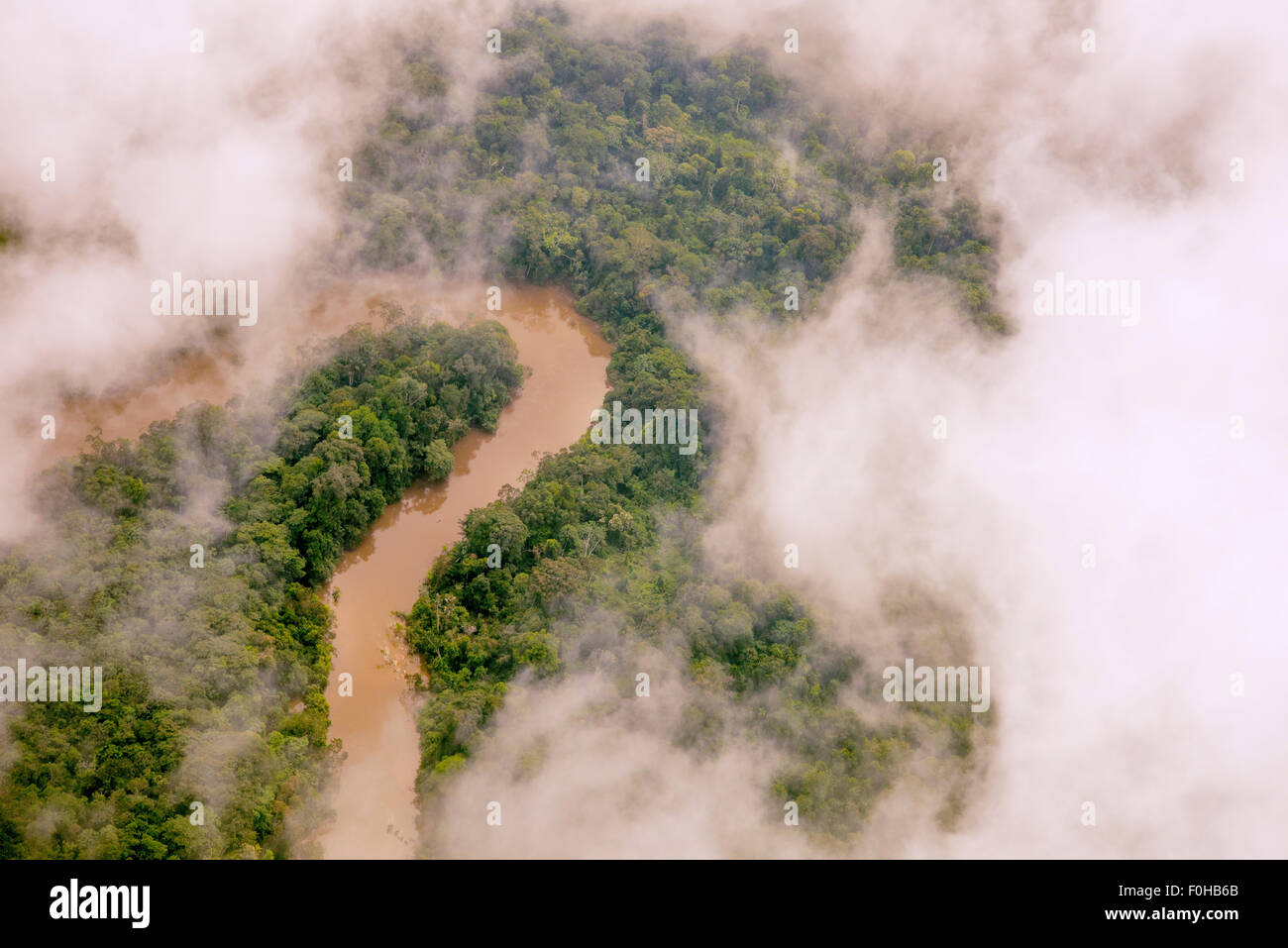 Amazon Rainforest aerial, Manati River, near Iquitos, Peru Stock Photohttps://www.alamy.com/image-license-details/?v=1https://www.alamy.com/stock-photo-amazon-rainforest-aerial-manati-river-near-iquitos-peru-86433827.html
RFF0HB6B–Amazon Rainforest aerial, Manati River, near Iquitos, Peru
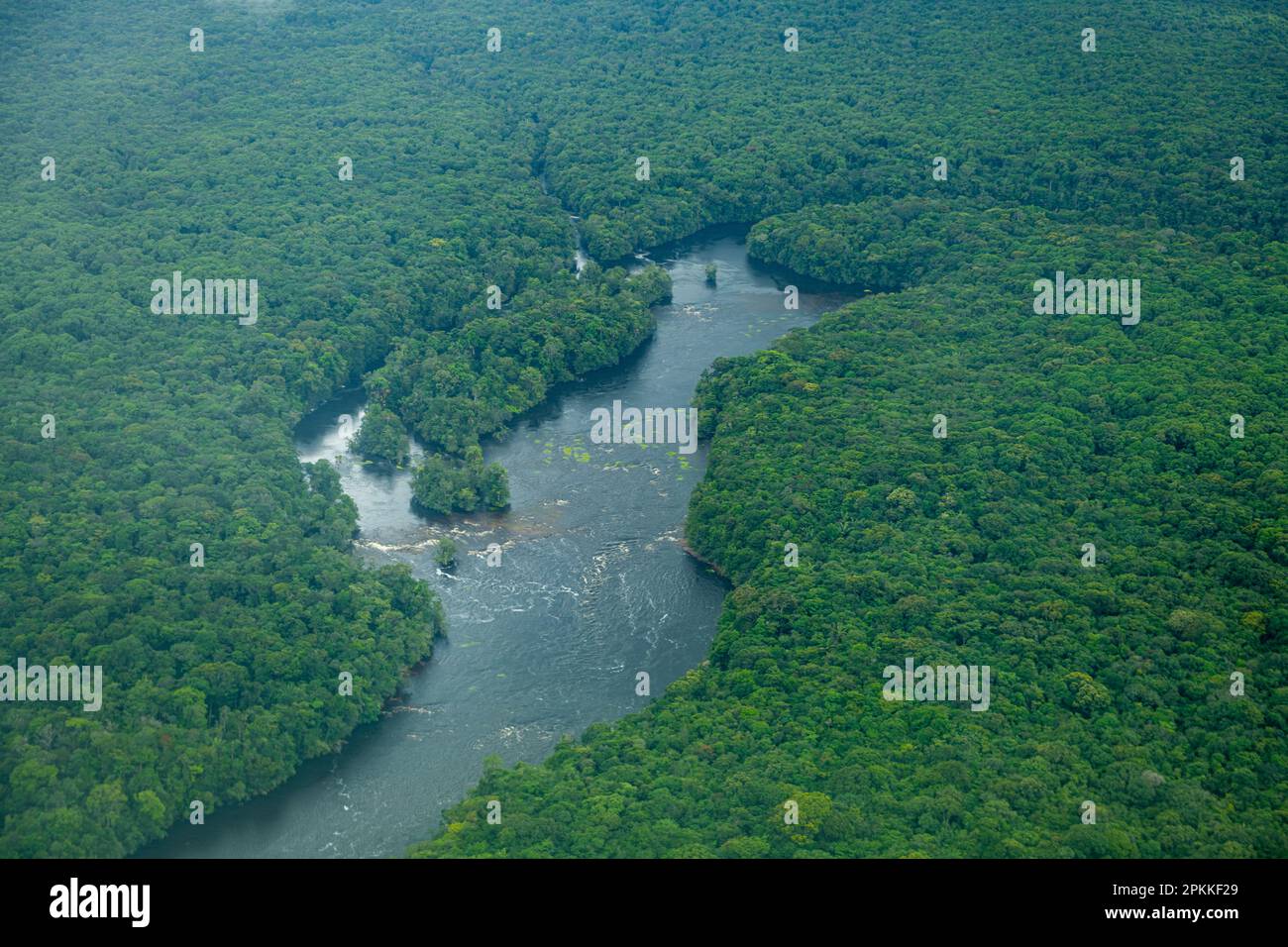 Aerial of the Potaro River, Guyana, South America Stock Photohttps://www.alamy.com/image-license-details/?v=1https://www.alamy.com/aerial-of-the-potaro-river-guyana-south-america-image545628785.html
RF2PKKF29–Aerial of the Potaro River, Guyana, South America
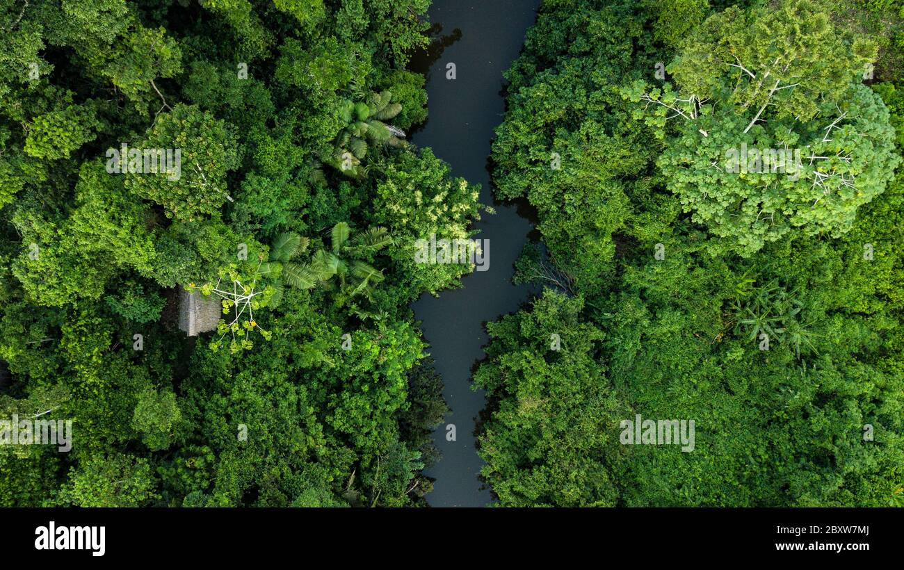 Aerial photo of Amazon rain forest jungle with the river view in Peru Stock Photohttps://www.alamy.com/image-license-details/?v=1https://www.alamy.com/aerial-photo-of-amazon-rain-forest-jungle-with-the-river-view-in-peru-image360743282.html
RF2BXW7MJ–Aerial photo of Amazon rain forest jungle with the river view in Peru
 Breakfast River Gorge cuts through the rainforest in Southern Dominica West Indies Stock Photohttps://www.alamy.com/image-license-details/?v=1https://www.alamy.com/stock-photo-breakfast-river-gorge-cuts-through-the-rainforest-in-southern-dominica-18734432.html
RMB2DBXT–Breakfast River Gorge cuts through the rainforest in Southern Dominica West Indies
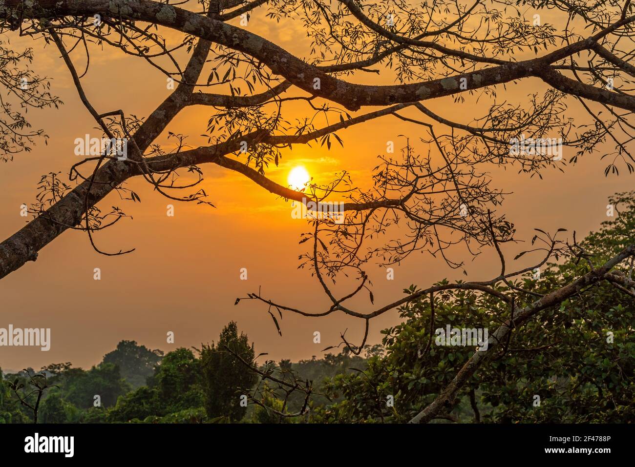 Aerial Amazon rainforest sunset, Yasuni national park, Ecuador. Stock Photohttps://www.alamy.com/image-license-details/?v=1https://www.alamy.com/aerial-amazon-rainforest-sunset-yasuni-national-park-ecuador-image415667638.html
RF2F4788P–Aerial Amazon rainforest sunset, Yasuni national park, Ecuador.
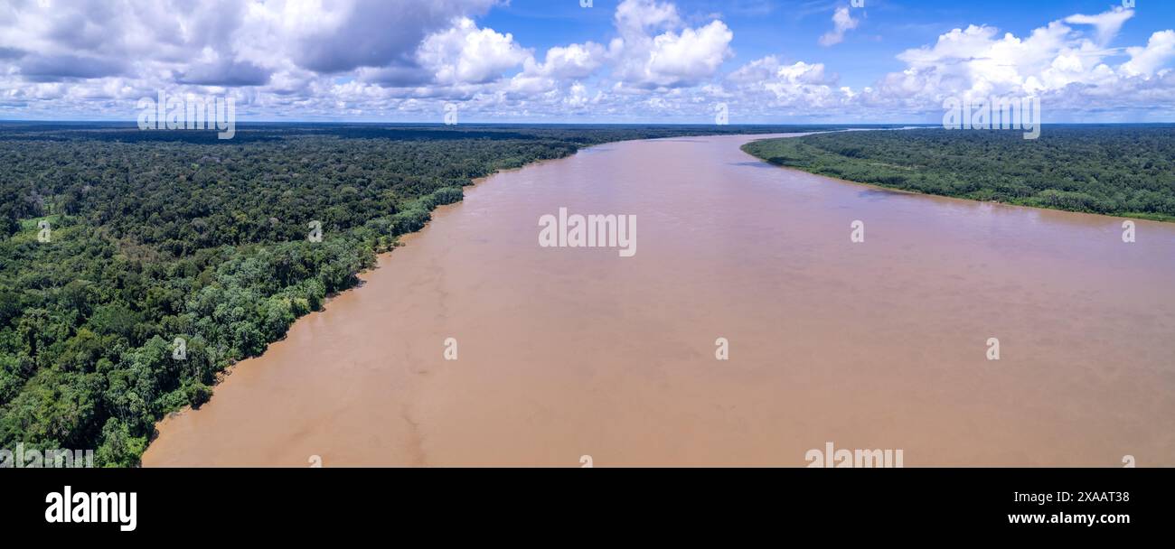 Beautiful aerial view of Amazon rainforest, the largest tropical forest in the world. Madeira river water and forest trees landscape at summer dusk. Stock Photohttps://www.alamy.com/image-license-details/?v=1https://www.alamy.com/beautiful-aerial-view-of-amazon-rainforest-the-largest-tropical-forest-in-the-world-madeira-river-water-and-forest-trees-landscape-at-summer-dusk-image608747868.html
RF2XAAT38–Beautiful aerial view of Amazon rainforest, the largest tropical forest in the world. Madeira river water and forest trees landscape at summer dusk.
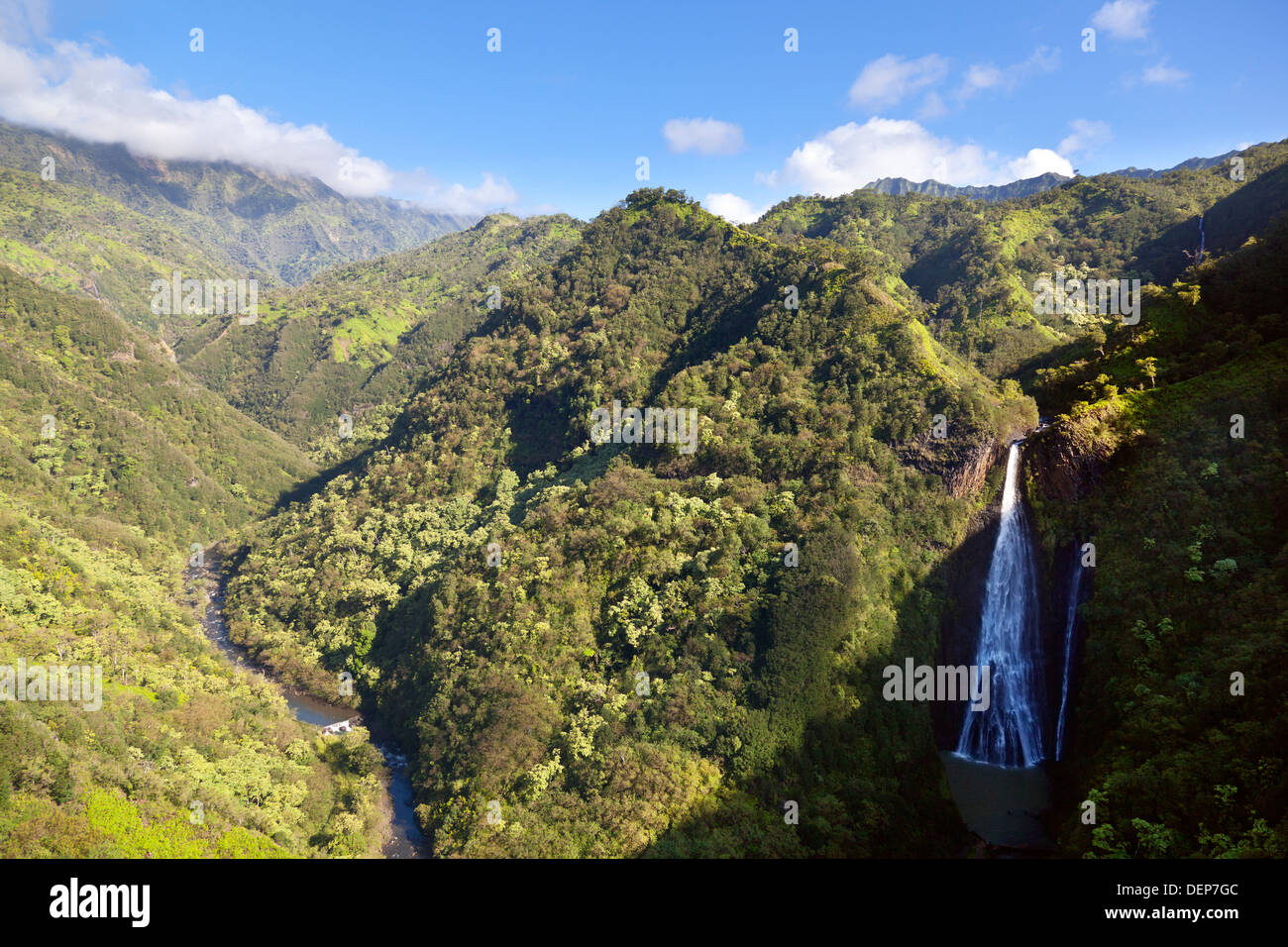 Stunning green rainforest landscape in the center of Kauai, Hawaii. Aerial shot from helicopter. Stock Photohttps://www.alamy.com/image-license-details/?v=1https://www.alamy.com/stunning-green-rainforest-landscape-in-the-center-of-kauai-hawaii-image60725180.html
RMDEP7GC–Stunning green rainforest landscape in the center of Kauai, Hawaii. Aerial shot from helicopter.
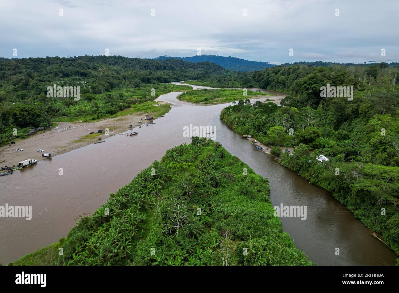 Beautiful aerial view of Bananito River in the Costa Rica Rainforest the Talamanca Region Stock Photohttps://www.alamy.com/image-license-details/?v=1https://www.alamy.com/beautiful-aerial-view-of-bananito-river-in-the-costa-rica-rainforest-the-talamanca-region-image560338446.html
RF2RFHHBA–Beautiful aerial view of Bananito River in the Costa Rica Rainforest the Talamanca Region
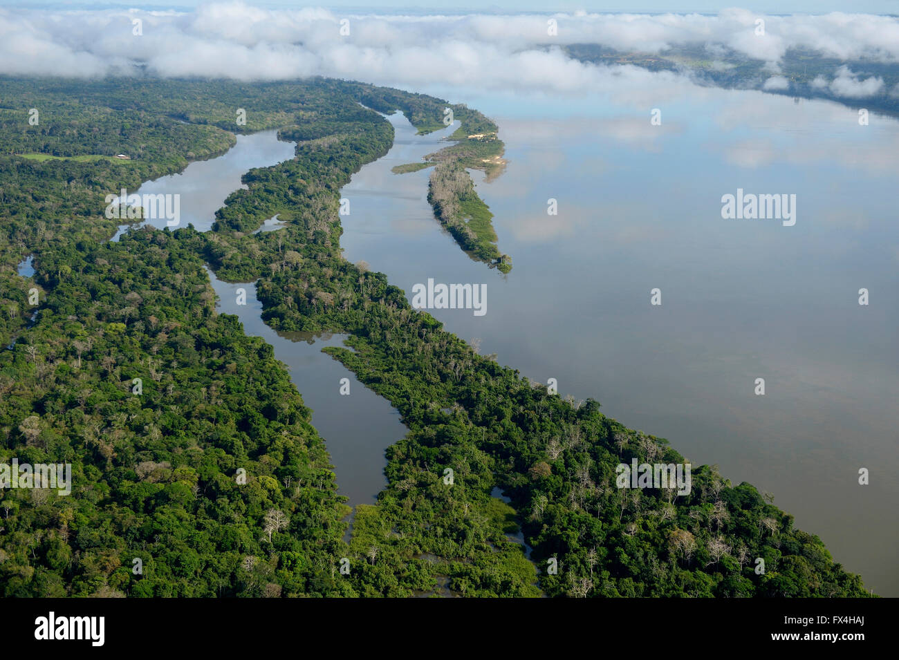 Aerial view, river Rio Tapajos by the Amazon rainforest, Itaituba, Pará state, Brazil Stock Photohttps://www.alamy.com/image-license-details/?v=1https://www.alamy.com/stock-photo-aerial-view-river-rio-tapajos-by-the-amazon-rainforest-itaituba-par-102134330.html
RFFX4HAJ–Aerial view, river Rio Tapajos by the Amazon rainforest, Itaituba, Pará state, Brazil
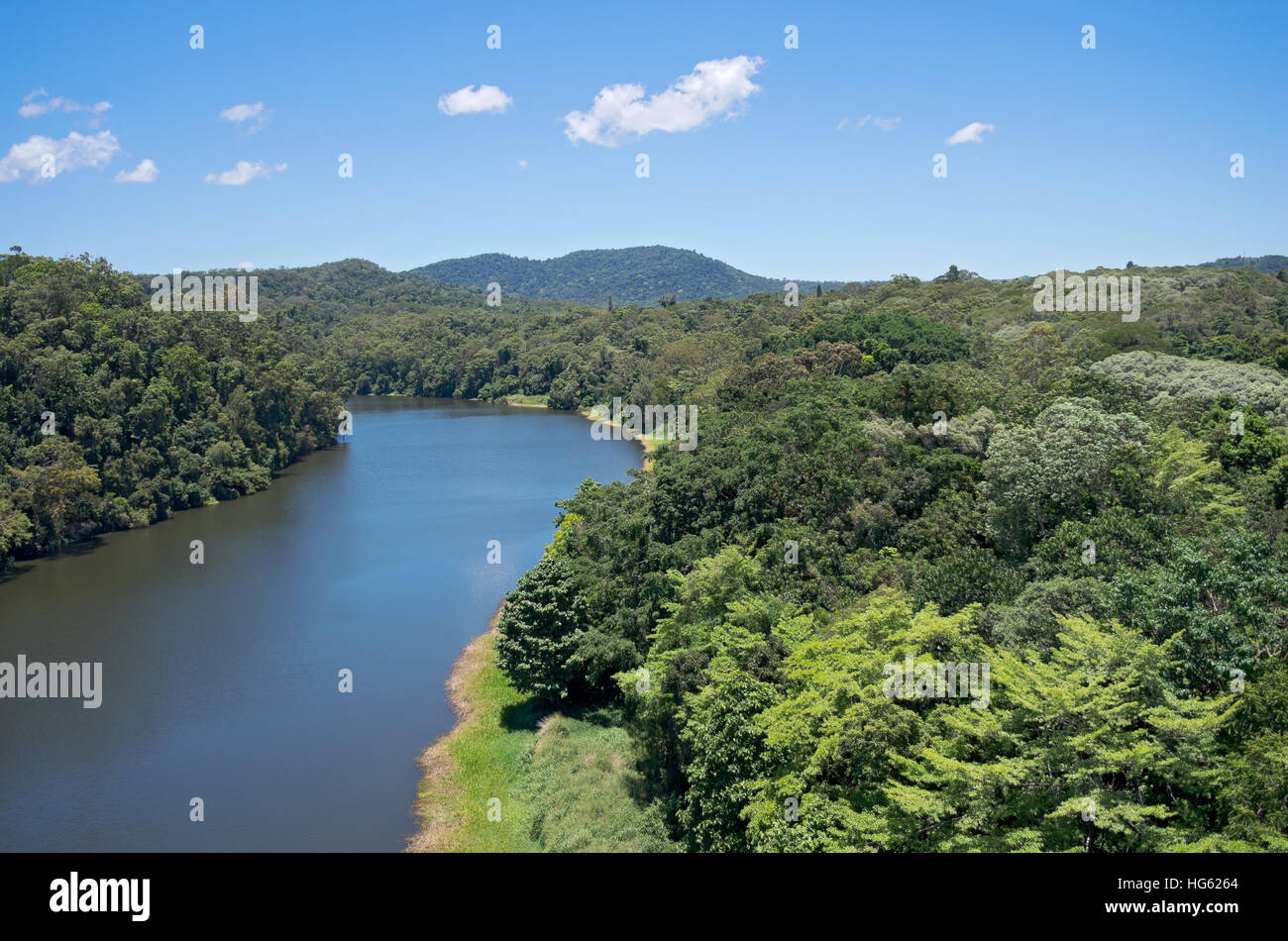 barron river flowing through rainforest of barron gorge national park near cairns of queensland australia Stock Photohttps://www.alamy.com/image-license-details/?v=1https://www.alamy.com/stock-photo-barron-river-flowing-through-rainforest-of-barron-gorge-national-park-130440524.html
RFHG6264–barron river flowing through rainforest of barron gorge national park near cairns of queensland australia
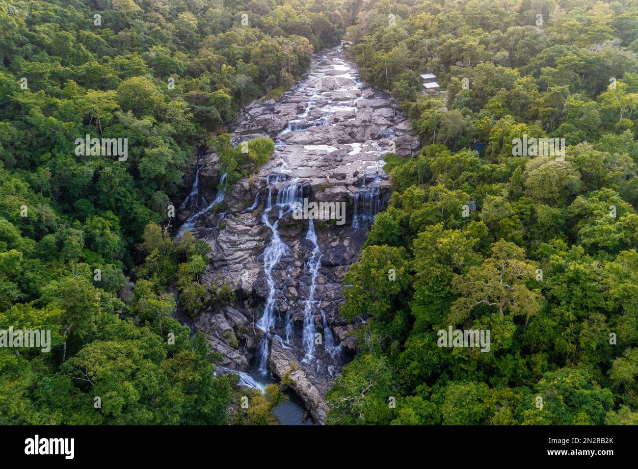 Aerial view of River and waterfall in the jungle, Moyo Hulu, Sumbawa Island, Indonesia Stock Photohttps://www.alamy.com/image-license-details/?v=1https://www.alamy.com/aerial-view-of-river-and-waterfall-in-the-jungle-moyo-hulu-sumbawa-island-indonesia-image518053947.html
RF2N2RB2K–Aerial view of River and waterfall in the jungle, Moyo Hulu, Sumbawa Island, Indonesia
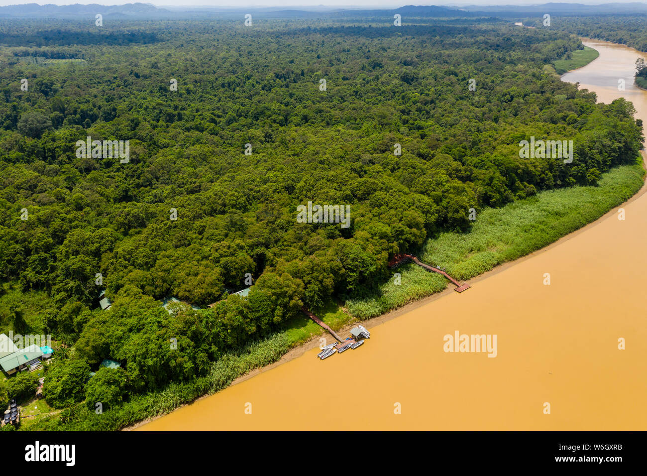 Aerial drone view of a long, brown winding river through tropical rainforest (Kinabatangan River, Borneo) Stock Photohttps://www.alamy.com/image-license-details/?v=1https://www.alamy.com/aerial-drone-view-of-a-long-brown-winding-river-through-tropical-rainforest-kinabatangan-river-borneo-image262215727.html
RFW6GXRB–Aerial drone view of a long, brown winding river through tropical rainforest (Kinabatangan River, Borneo)
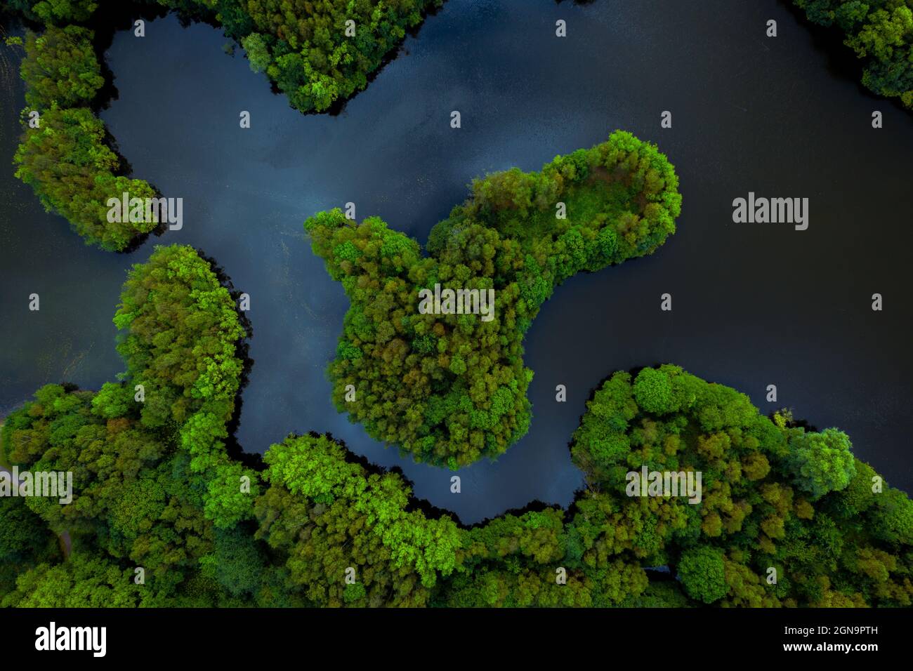 Aerial view of lush green rainforest canopy with tree covered islands surrounded by river water in a tropical Amazon or Thailand environment Stock Photohttps://www.alamy.com/image-license-details/?v=1https://www.alamy.com/aerial-view-of-lush-green-rainforest-canopy-with-tree-covered-islands-surrounded-by-river-water-in-a-tropical-amazon-or-thailand-environment-image443382481.html
RF2GN9PTH–Aerial view of lush green rainforest canopy with tree covered islands surrounded by river water in a tropical Amazon or Thailand environment
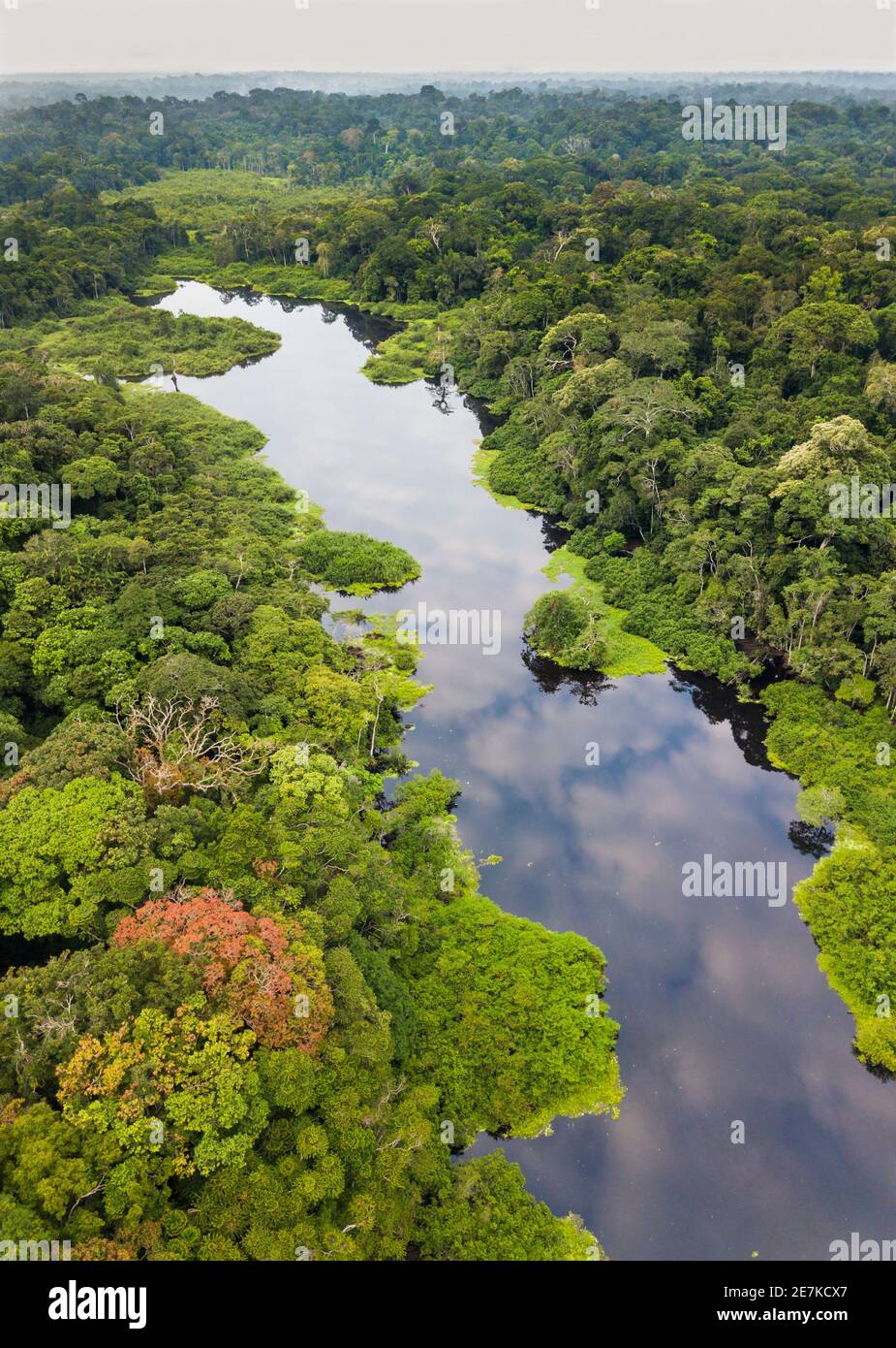 Aerial view of Congo basin rainforest and river, Akaka, Loango National Park, Gabon. Stock Photohttps://www.alamy.com/image-license-details/?v=1https://www.alamy.com/aerial-view-of-congo-basin-rainforest-and-river-akaka-loango-national-park-gabon-image400568287.html
RM2E7KCX7–Aerial view of Congo basin rainforest and river, Akaka, Loango National Park, Gabon.
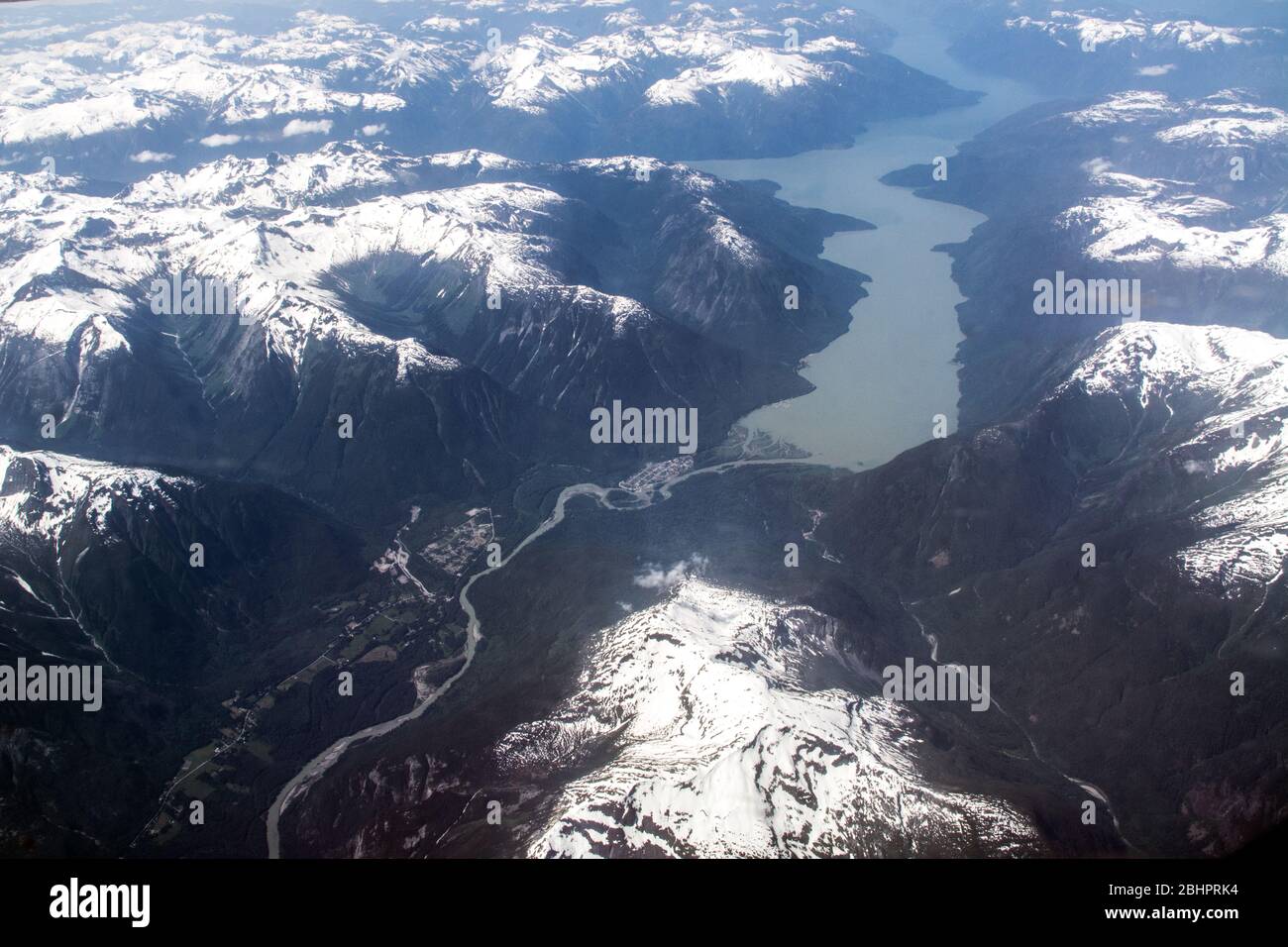 An aerial view of the lower Bella Coola River and Valley and the Pacific Ocean, in the Great Bear Rainforest, British Columbia coast, Canada. Stock Photohttps://www.alamy.com/image-license-details/?v=1https://www.alamy.com/an-aerial-view-of-the-lower-bella-coola-river-and-valley-and-the-pacific-ocean-in-the-great-bear-rainforest-british-columbia-coast-canada-image355158024.html
RM2BHPRK4–An aerial view of the lower Bella Coola River and Valley and the Pacific Ocean, in the Great Bear Rainforest, British Columbia coast, Canada.
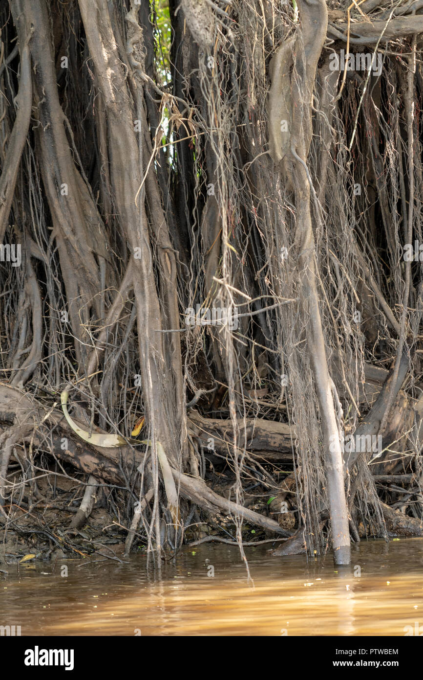 Pacaya Samiria Reserve, Peru, South America. Aerial tree roots going into the river. Stock Photohttps://www.alamy.com/image-license-details/?v=1https://www.alamy.com/pacaya-samiria-reserve-peru-south-america-aerial-tree-roots-going-into-the-river-image221833996.html
RFPTWBEM–Pacaya Samiria Reserve, Peru, South America. Aerial tree roots going into the river.
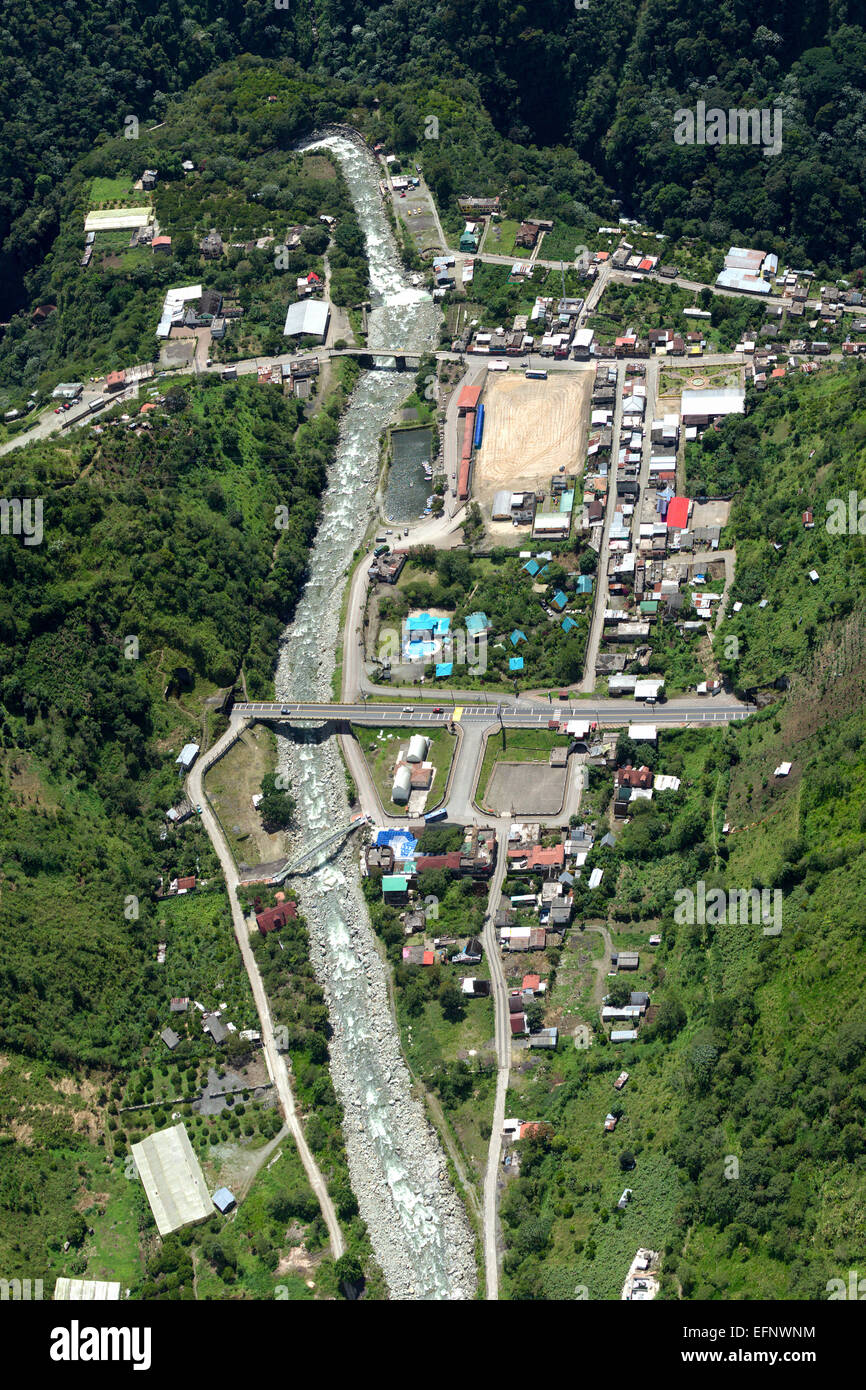 Rio Verde Village In Ecuadorian Andes Aerial Shot Stock Photohttps://www.alamy.com/image-license-details/?v=1https://www.alamy.com/stock-photo-rio-verde-village-in-ecuadorian-andes-aerial-shot-78542512.html
RFEFNWNM–Rio Verde Village In Ecuadorian Andes Aerial Shot
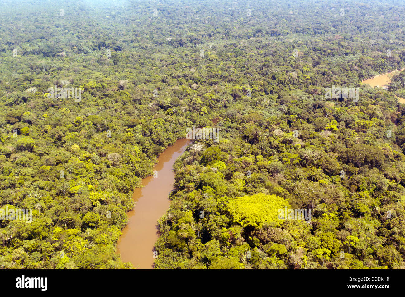 Aerial view of Rio Cononaco in the Ecuadorian Amazon with a huge emergent Ceibo tree in the foreground Stock Photohttps://www.alamy.com/image-license-details/?v=1https://www.alamy.com/stock-photo-aerial-view-of-rio-cononaco-in-the-ecuadorian-amazon-with-a-huge-emergent-59922403.html
RFDDDKHR–Aerial view of Rio Cononaco in the Ecuadorian Amazon with a huge emergent Ceibo tree in the foreground
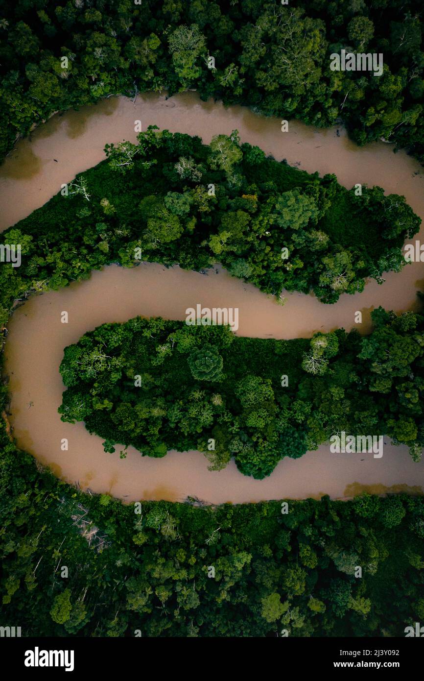 Aerial Drone shot of Ecuadorian Amazon Rainforest Stock Photohttps://www.alamy.com/image-license-details/?v=1https://www.alamy.com/aerial-drone-shot-of-ecuadorian-amazon-rainforest-image467116862.html
RM2J3Y092–Aerial Drone shot of Ecuadorian Amazon Rainforest
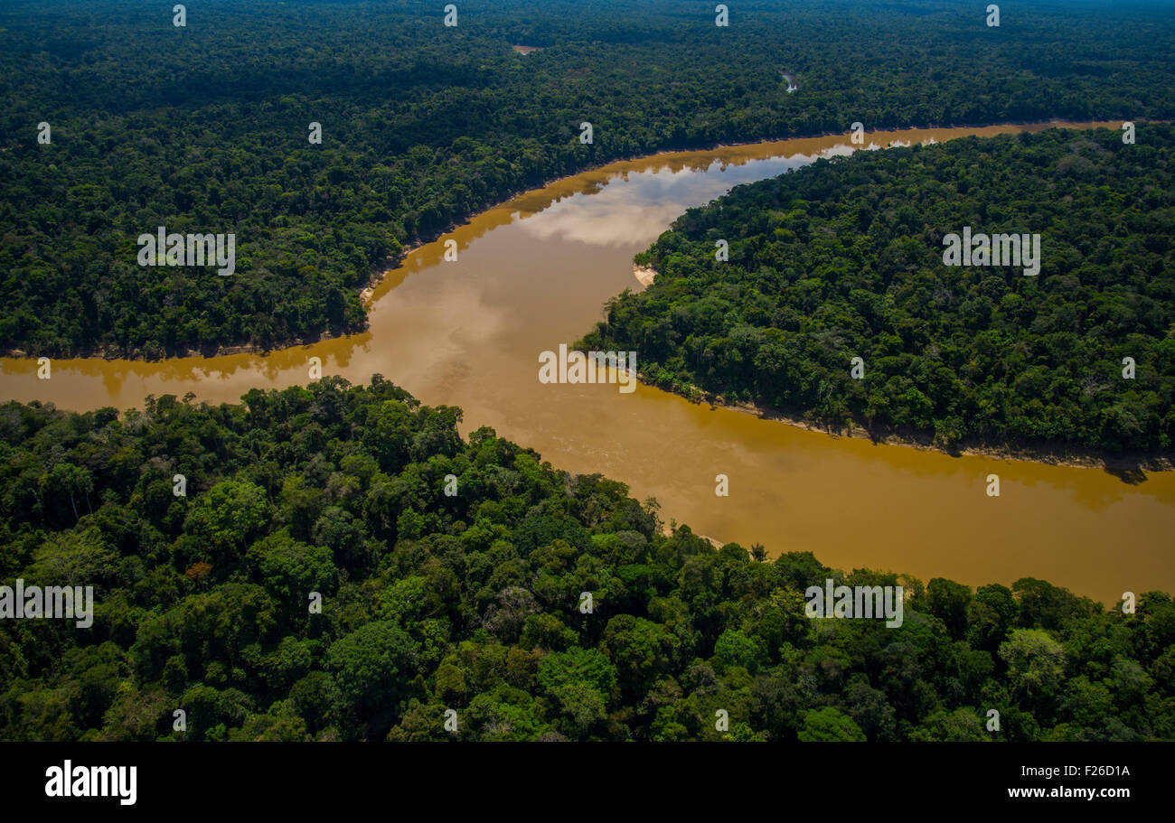 Rainforest aerial, Mouth of the Yavari-Mirin River entering Yavari River and primary forest, Amazon Region, Peru Stock Photohttps://www.alamy.com/image-license-details/?v=1https://www.alamy.com/stock-photo-rainforest-aerial-mouth-of-the-yavari-mirin-river-entering-yavari-87423094.html
RMF26D1A–Rainforest aerial, Mouth of the Yavari-Mirin River entering Yavari River and primary forest, Amazon Region, Peru
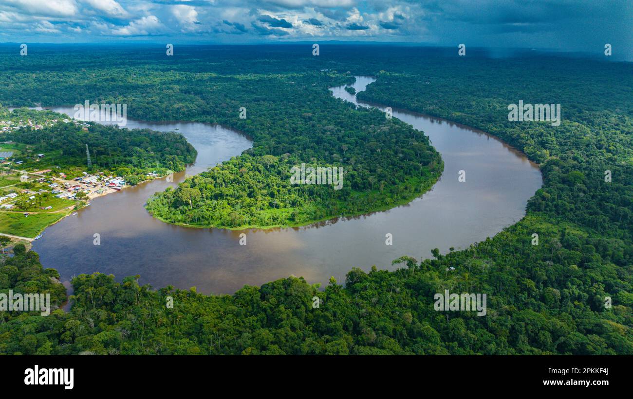 Aerial of the Suriname River at Pokigron, Suriname, South America Stock Photohttps://www.alamy.com/image-license-details/?v=1https://www.alamy.com/aerial-of-the-suriname-river-at-pokigron-suriname-south-america-image545628850.html
RF2PKKF4J–Aerial of the Suriname River at Pokigron, Suriname, South America
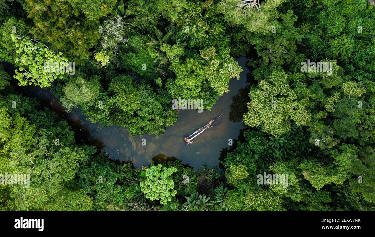 Aerial photo of Amazon rain forest jungle with the river view in Peru Stock Photohttps://www.alamy.com/image-license-details/?v=1https://www.alamy.com/aerial-photo-of-amazon-rain-forest-jungle-with-the-river-view-in-peru-image360743311.html
RF2BXW7NK–Aerial photo of Amazon rain forest jungle with the river view in Peru
 Breakfast River Gorge cuts through the rainforest in Southern Dominica West Indies Stock Photohttps://www.alamy.com/image-license-details/?v=1https://www.alamy.com/stock-photo-breakfast-river-gorge-cuts-through-the-rainforest-in-southern-dominica-18734358.html
RMB2DBT6–Breakfast River Gorge cuts through the rainforest in Southern Dominica West Indies
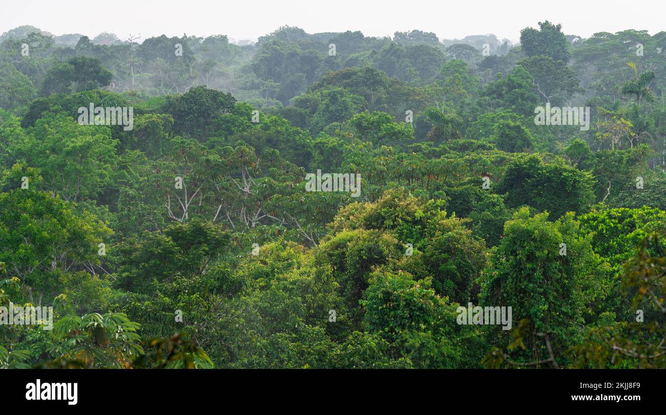 Aerial landscape panorama of Amazon rainforest trees, Yasuni national park, Ecuador. Stock Photohttps://www.alamy.com/image-license-details/?v=1https://www.alamy.com/aerial-landscape-panorama-of-amazon-rainforest-trees-yasuni-national-park-ecuador-image493355949.html
RF2KJJ8F9–Aerial landscape panorama of Amazon rainforest trees, Yasuni national park, Ecuador.
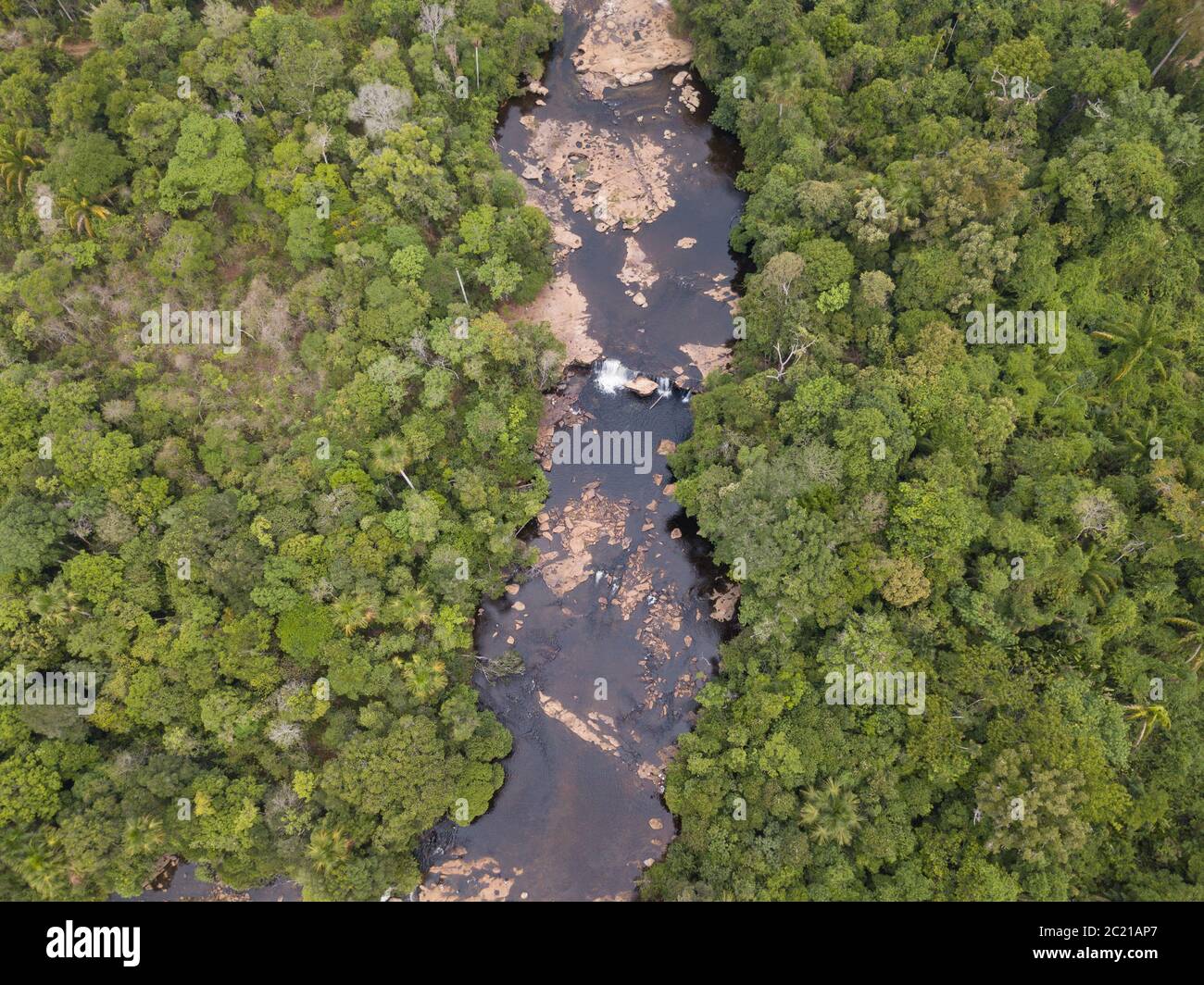 Beautiful drone aerial view over Curua River waterfalls and forest trees in the Serra do Cachimbo in the Amazon rainforest, Para, Brazil. Stock Photohttps://www.alamy.com/image-license-details/?v=1https://www.alamy.com/beautiful-drone-aerial-view-over-curua-river-waterfalls-and-forest-trees-in-the-serra-do-cachimbo-in-the-amazon-rainforest-para-brazil-image362677455.html
RF2C21AP7–Beautiful drone aerial view over Curua River waterfalls and forest trees in the Serra do Cachimbo in the Amazon rainforest, Para, Brazil.
 Aerial image of the Lower Mazaruni River with islands of tropical rain forest, Hororabo, near Bartica, Guyana, South America Stock Photohttps://www.alamy.com/image-license-details/?v=1https://www.alamy.com/stock-photo-aerial-image-of-the-lower-mazaruni-river-with-islands-of-tropical-31576581.html
RMBRAC71–Aerial image of the Lower Mazaruni River with islands of tropical rain forest, Hororabo, near Bartica, Guyana, South America
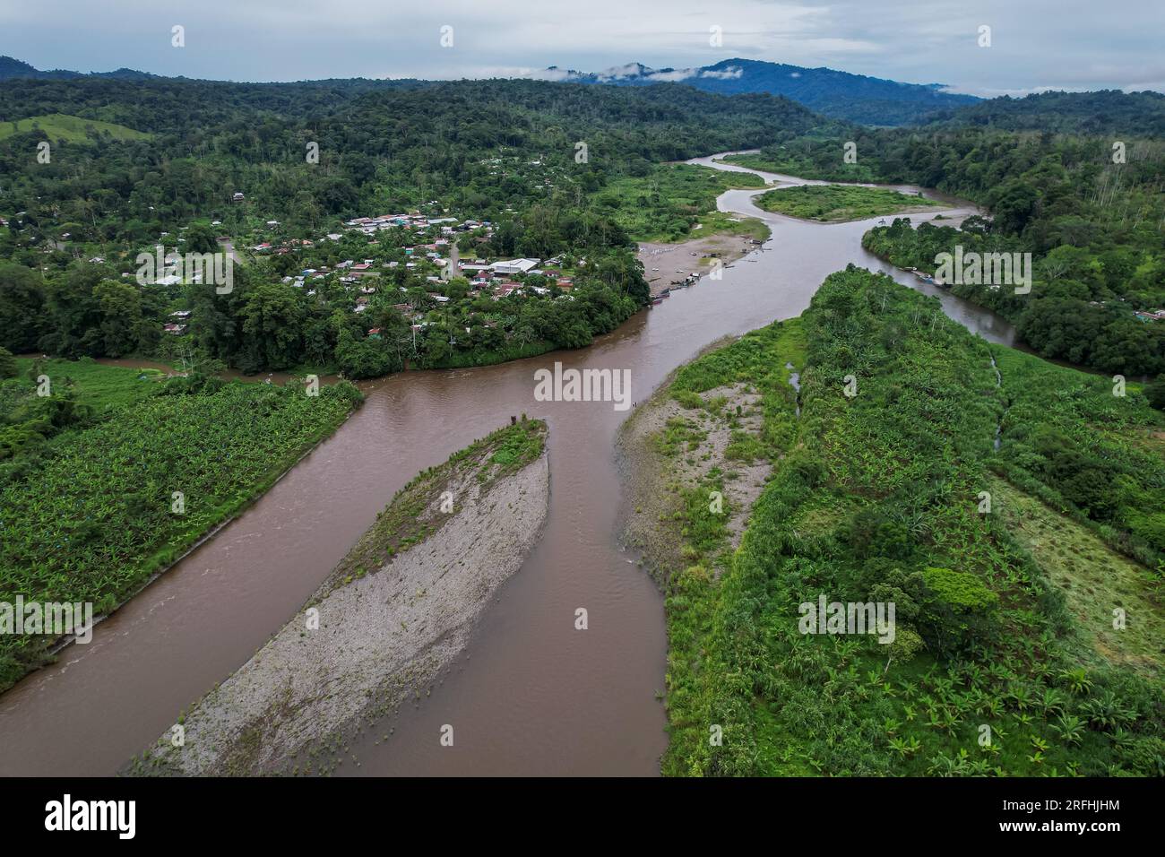 Beautiful aerial view of Bananito River in the Costa Rica Rainforest the Talamanca Region Stock Photohttps://www.alamy.com/image-license-details/?v=1https://www.alamy.com/beautiful-aerial-view-of-bananito-river-in-the-costa-rica-rainforest-the-talamanca-region-image560339408.html
RF2RFHJHM–Beautiful aerial view of Bananito River in the Costa Rica Rainforest the Talamanca Region
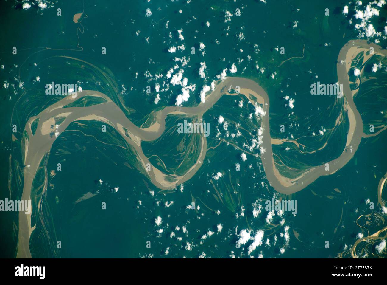 BRAZIL - 29 October 2023 - A portion of the Amazon River in northwestern Brazil is pictured from the International Space Station as it orbited 260 mil Stock Photohttps://www.alamy.com/image-license-details/?v=1https://www.alamy.com/brazil-29-october-2023-a-portion-of-the-amazon-river-in-northwestern-brazil-is-pictured-from-the-international-space-station-as-it-orbited-260-mil-image572554631.html
RM2T7E37K–BRAZIL - 29 October 2023 - A portion of the Amazon River in northwestern Brazil is pictured from the International Space Station as it orbited 260 mil
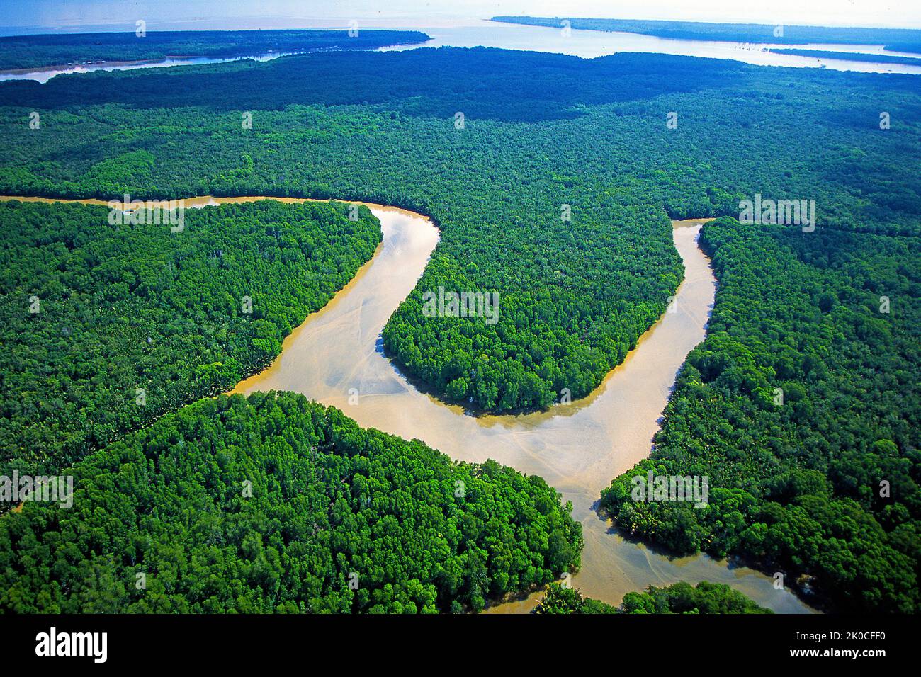 River at rain forest, Kalimatan, Borneo, Malaysia, Asia Stock Photohttps://www.alamy.com/image-license-details/?v=1https://www.alamy.com/river-at-rain-forest-kalimatan-borneo-malaysia-asia-image482165908.html
RM2K0CFF0–River at rain forest, Kalimatan, Borneo, Malaysia, Asia
 Rainforest and River Chagres, Teleferico Aerial Tram, Soberania National Park, Canalera de Gamboa, Panama City, Panama Province, Republic of Panama Stock Photohttps://www.alamy.com/image-license-details/?v=1https://www.alamy.com/rainforest-and-river-chagres-teleferico-aerial-tram-soberania-national-park-canalera-de-gamboa-panama-city-panama-province-republic-of-panama-image595342360.html
RM2WGG574–Rainforest and River Chagres, Teleferico Aerial Tram, Soberania National Park, Canalera de Gamboa, Panama City, Panama Province, Republic of Panama
 Aerial drone view of a long, brown winding river through tropical rainforest (Kinabatangan River, Borneo) Stock Photohttps://www.alamy.com/image-license-details/?v=1https://www.alamy.com/aerial-drone-view-of-a-long-brown-winding-river-through-tropical-rainforest-kinabatangan-river-borneo-image262215667.html
RFW6GXN7–Aerial drone view of a long, brown winding river through tropical rainforest (Kinabatangan River, Borneo)
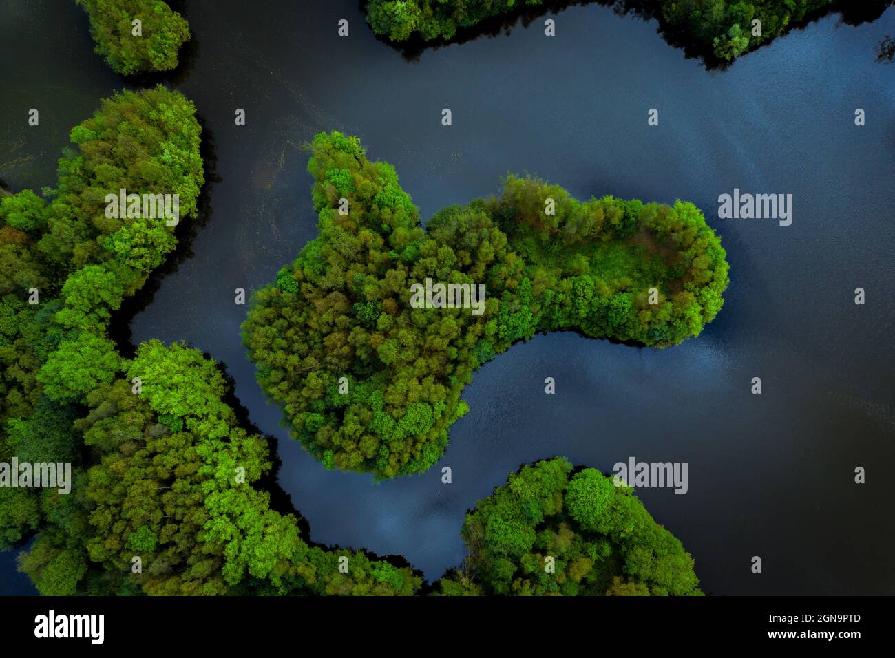 Aerial view of lush green rainforest canopy with tree covered islands surrounded by river water in a tropical Amazon or Thailand environment Stock Photohttps://www.alamy.com/image-license-details/?v=1https://www.alamy.com/aerial-view-of-lush-green-rainforest-canopy-with-tree-covered-islands-surrounded-by-river-water-in-a-tropical-amazon-or-thailand-environment-image443382477.html
RF2GN9PTD–Aerial view of lush green rainforest canopy with tree covered islands surrounded by river water in a tropical Amazon or Thailand environment
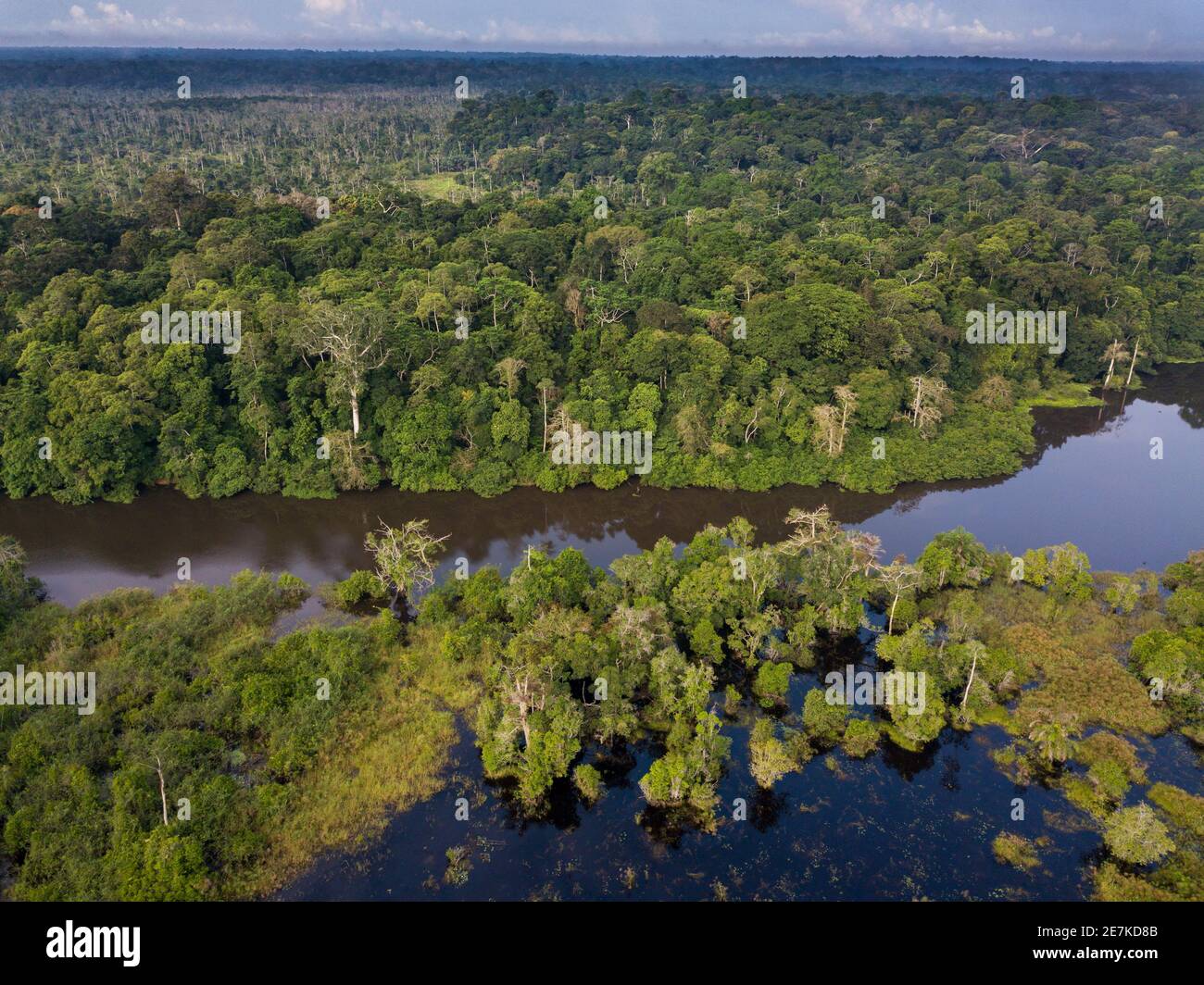 Aerial view of Congo rainforest along Rembo Ngowe river, Akaka, Loango National Park, Gabon. Stock Photohttps://www.alamy.com/image-license-details/?v=1https://www.alamy.com/aerial-view-of-congo-rainforest-along-rembo-ngowe-river-akaka-loango-national-park-gabon-image400568571.html
RM2E7KD8B–Aerial view of Congo rainforest along Rembo Ngowe river, Akaka, Loango National Park, Gabon.
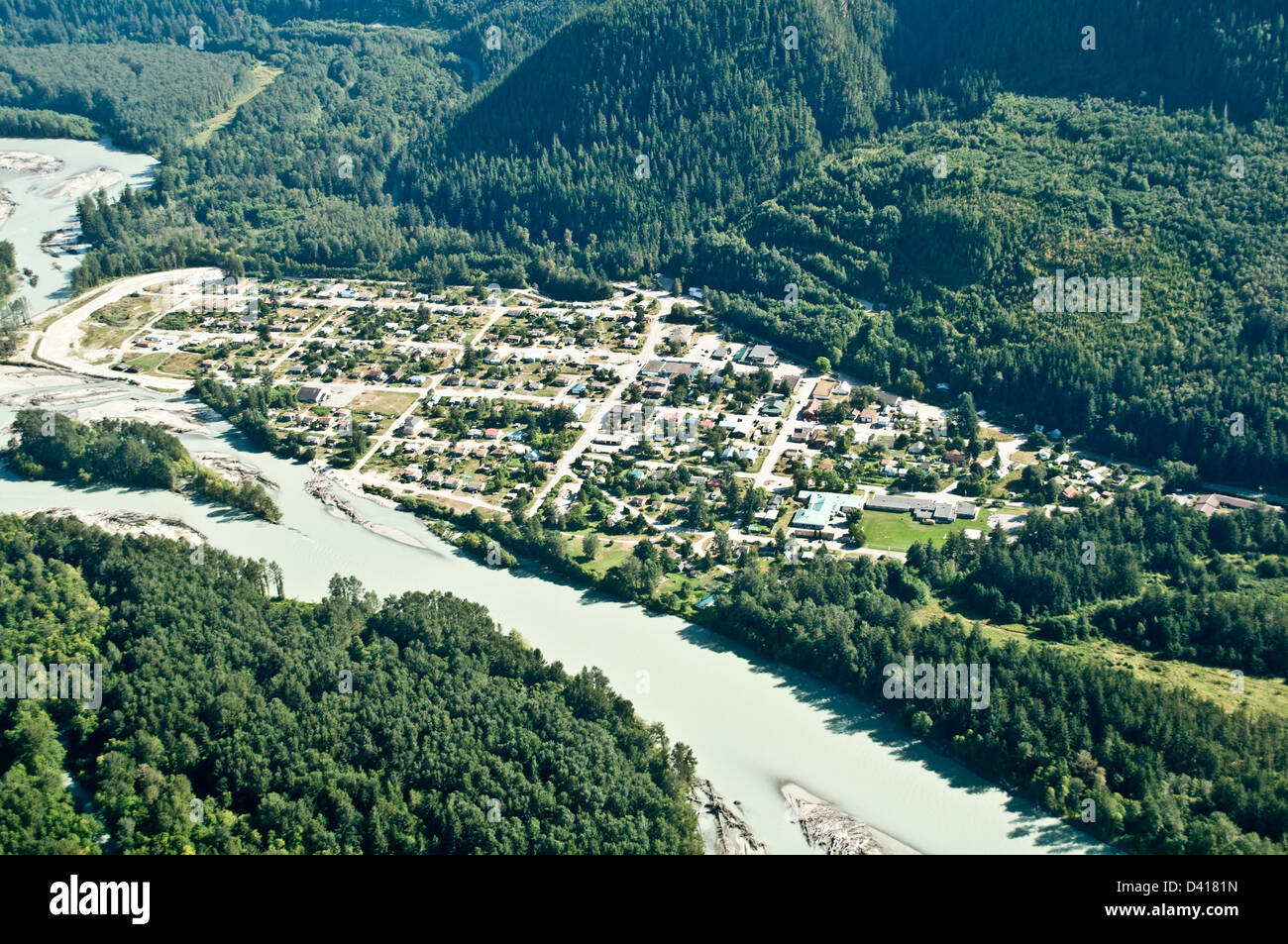 An aerial view of the Nuxalk First Nation community of Bella Coola, in the Great Bear Rainforest, central coast, British Columbia, Canada. Stock Photohttps://www.alamy.com/image-license-details/?v=1https://www.alamy.com/stock-photo-an-aerial-view-of-the-nuxalk-first-nation-community-of-bella-coola-54118001.html
RMD4181N–An aerial view of the Nuxalk First Nation community of Bella Coola, in the Great Bear Rainforest, central coast, British Columbia, Canada.
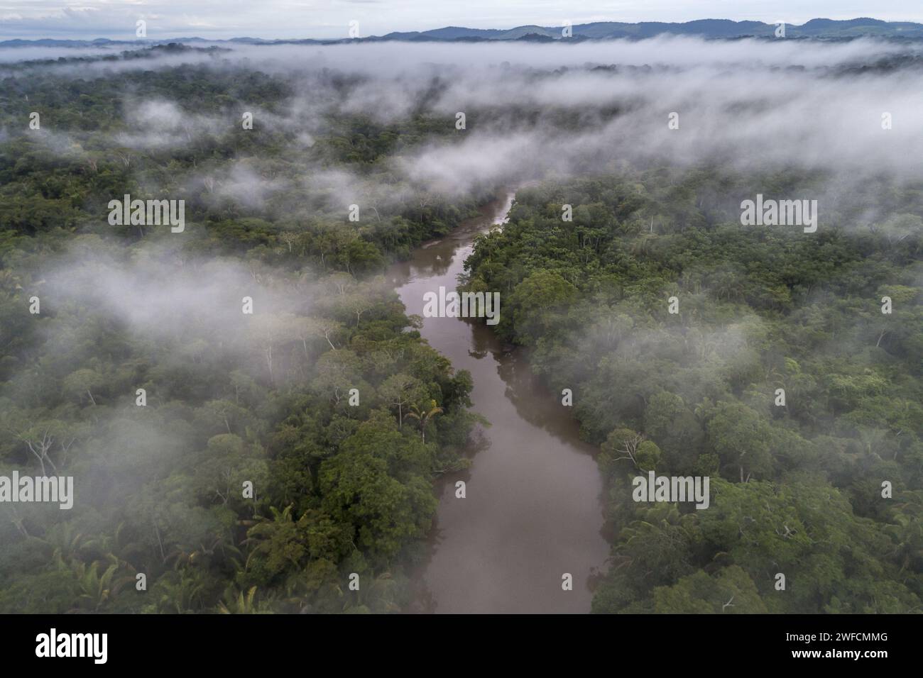 Drone view of Jamari River in the Amazon rainforest in Uru-eu-wau-wau indigenous land - Stock Photohttps://www.alamy.com/image-license-details/?v=1https://www.alamy.com/drone-view-of-jamari-river-in-the-amazon-rainforest-in-uru-eu-wau-wau-indigenous-land-image594652032.html
RM2WFCMMG–Drone view of Jamari River in the Amazon rainforest in Uru-eu-wau-wau indigenous land -
 Rio Verde Village In Ecuadorian Andes Aerial Shot Stock Photohttps://www.alamy.com/image-license-details/?v=1https://www.alamy.com/stock-photo-rio-verde-village-in-ecuadorian-andes-aerial-shot-78541909.html
RFEFNW05–Rio Verde Village In Ecuadorian Andes Aerial Shot
 A waterfall in the middle of primary Atlantic Rainforest of Southern São Paulo State, SE Brazil Stock Photohttps://www.alamy.com/image-license-details/?v=1https://www.alamy.com/a-waterfall-in-the-middle-of-primary-atlantic-rainforest-of-southern-so-paulo-state-se-brazil-image411237928.html
RM2EW1E4T–A waterfall in the middle of primary Atlantic Rainforest of Southern São Paulo State, SE Brazil
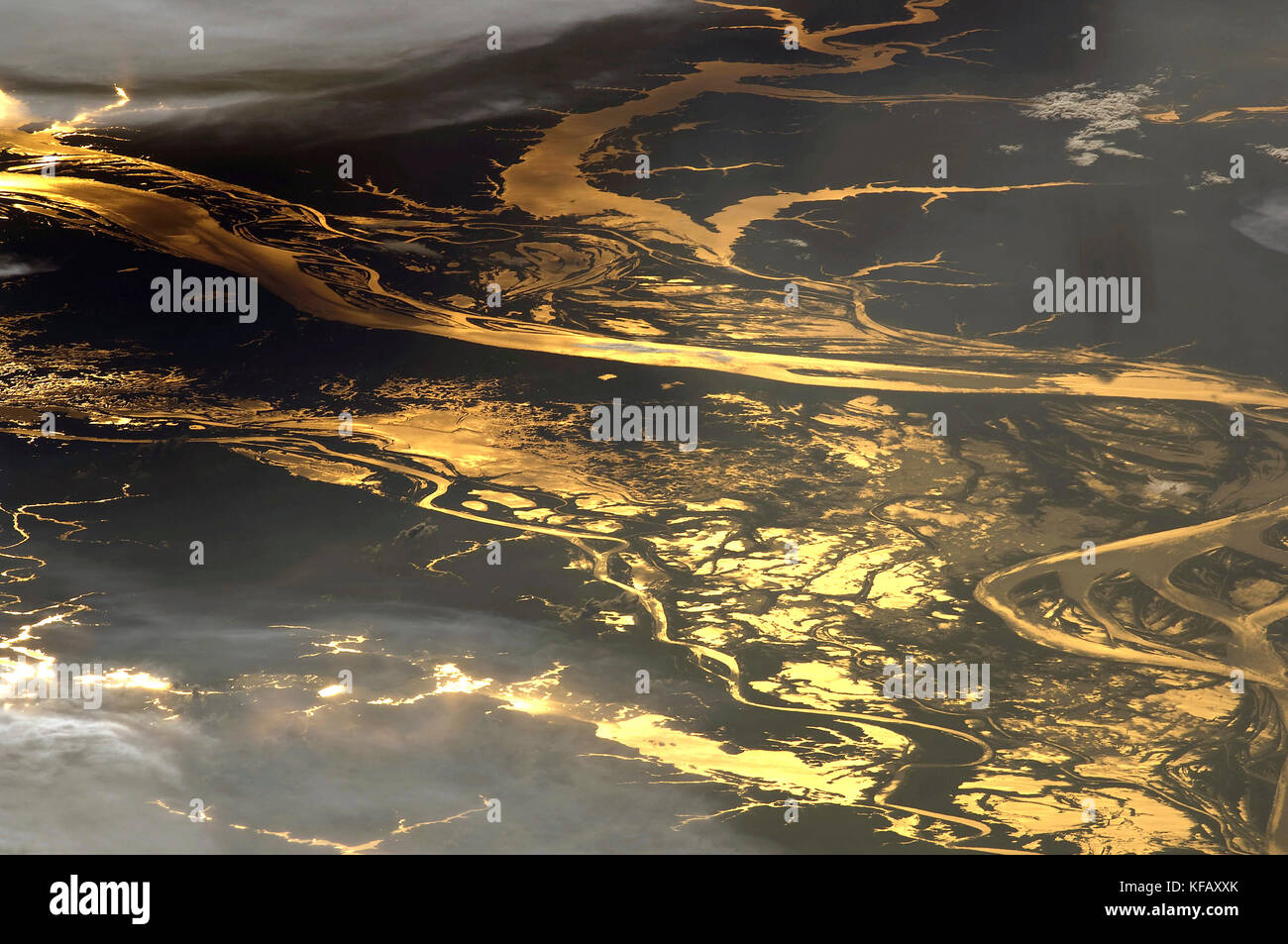 Amazon River The setting sun glints off the Amazon River and numerous lakes in its floodplain in this astronaut photograph/NASA. Stock Photohttps://www.alamy.com/image-license-details/?v=1https://www.alamy.com/stock-image-amazon-river-the-setting-sun-glints-off-the-amazon-river-and-numerous-164353803.html
RFKFAXXK–Amazon River The setting sun glints off the Amazon River and numerous lakes in its floodplain in this astronaut photograph/NASA.
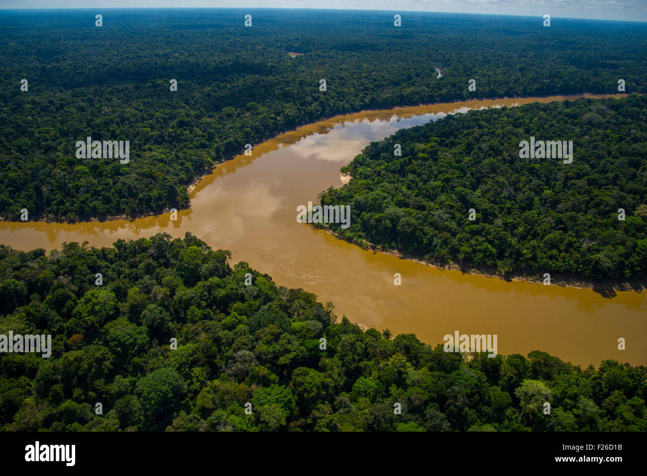 Rainforest aerial, Mouth of the Yavari-Mirin River entering Yavari River and primary forest, Amazon Region, Peru Stock Photohttps://www.alamy.com/image-license-details/?v=1https://www.alamy.com/stock-photo-rainforest-aerial-mouth-of-the-yavari-mirin-river-entering-yavari-87423095.html
RMF26D1B–Rainforest aerial, Mouth of the Yavari-Mirin River entering Yavari River and primary forest, Amazon Region, Peru
 Aerial of the Suriname River at Pokigron, Suriname, South America Stock Photohttps://www.alamy.com/image-license-details/?v=1https://www.alamy.com/aerial-of-the-suriname-river-at-pokigron-suriname-south-america-image545628786.html
RF2PKKF2A–Aerial of the Suriname River at Pokigron, Suriname, South America
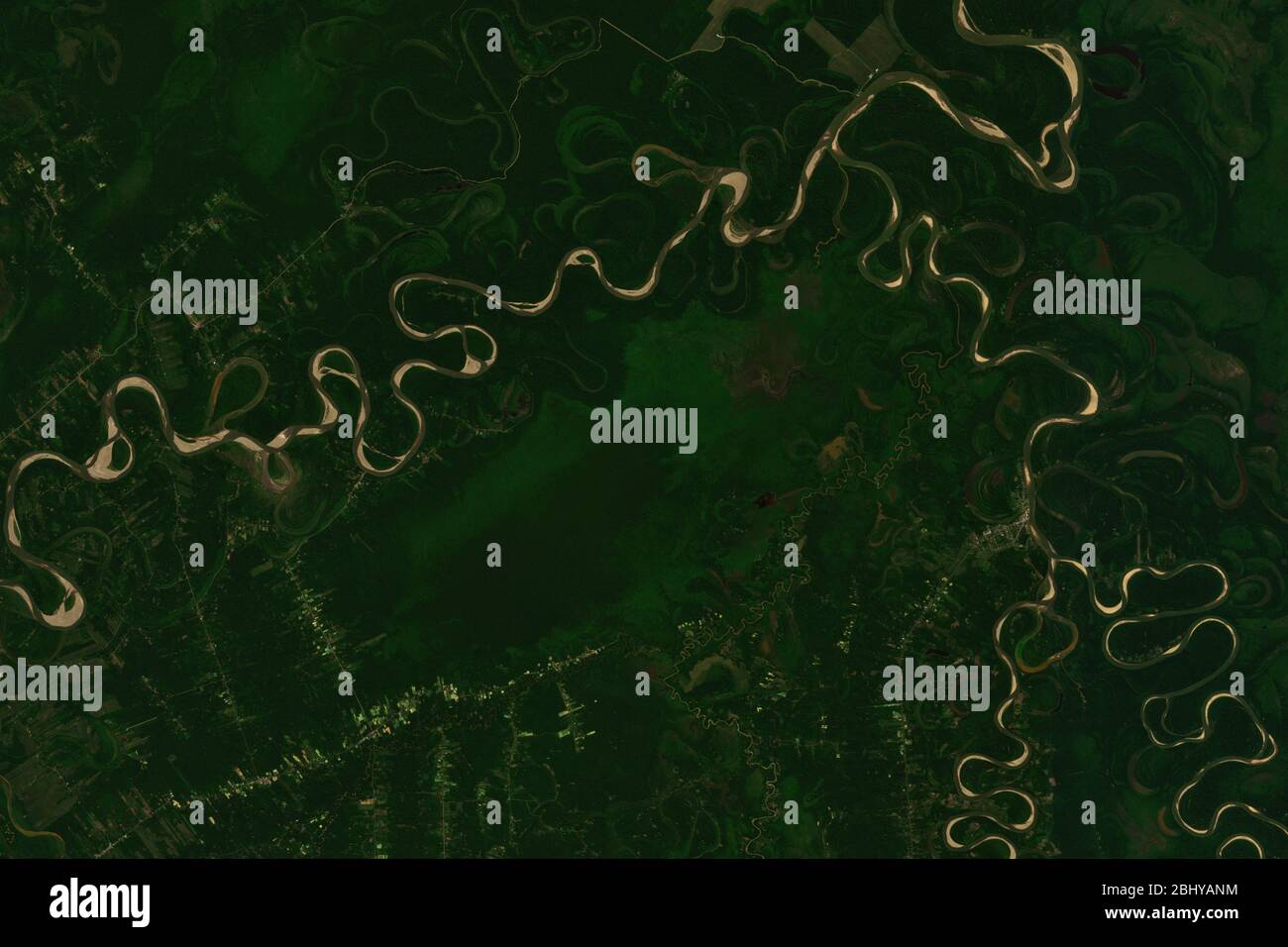 High resolution satellite image of swampy landscape around Mamore River in Bolivia- contains modified Copernicus Sentinel Data (2020) Stock Photohttps://www.alamy.com/image-license-details/?v=1https://www.alamy.com/high-resolution-satellite-image-of-swampy-landscape-around-mamore-river-in-bolivia-contains-modified-copernicus-sentinel-data-2020-image355257664.html
RF2BHYANM–High resolution satellite image of swampy landscape around Mamore River in Bolivia- contains modified Copernicus Sentinel Data (2020)
 Breakfast River Gorge cuts through the rainforest in Southern Dominica West Indies Stock Photohttps://www.alamy.com/image-license-details/?v=1https://www.alamy.com/stock-photo-breakfast-river-gorge-cuts-through-the-rainforest-in-southern-dominica-18734216.html
RMB2DBK4–Breakfast River Gorge cuts through the rainforest in Southern Dominica West Indies
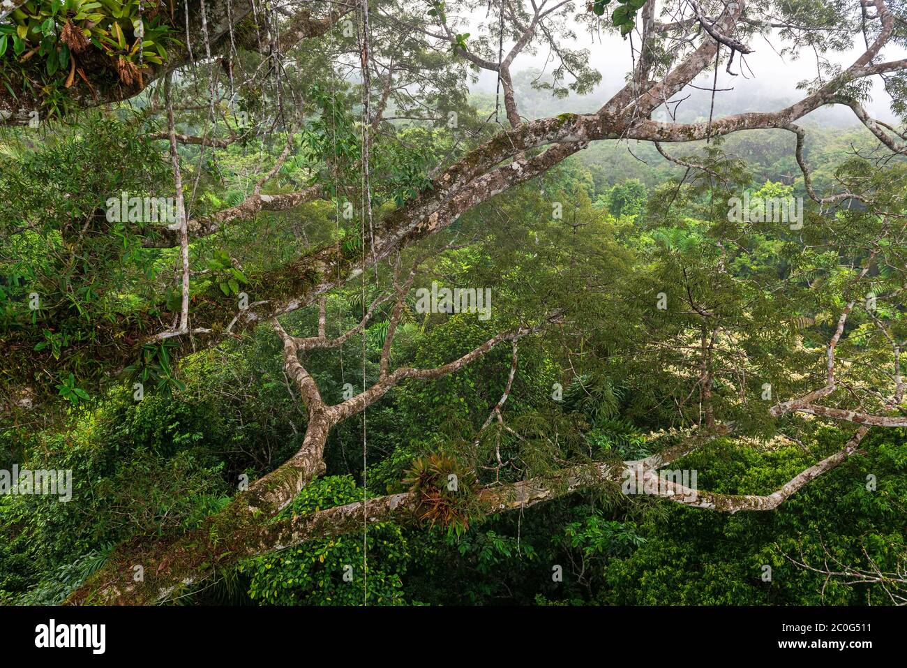 Aerial landscape of the Amazon Rainforest seen from inside a Ceiba tree with many Bromelia on the branches, Yasuni national park, Ecuador. Stock Photohttps://www.alamy.com/image-license-details/?v=1https://www.alamy.com/aerial-landscape-of-the-amazon-rainforest-seen-from-inside-a-ceiba-tree-with-many-bromelia-on-the-branches-yasuni-national-park-ecuador-image361772909.html
RF2C0G511–Aerial landscape of the Amazon Rainforest seen from inside a Ceiba tree with many Bromelia on the branches, Yasuni national park, Ecuador.
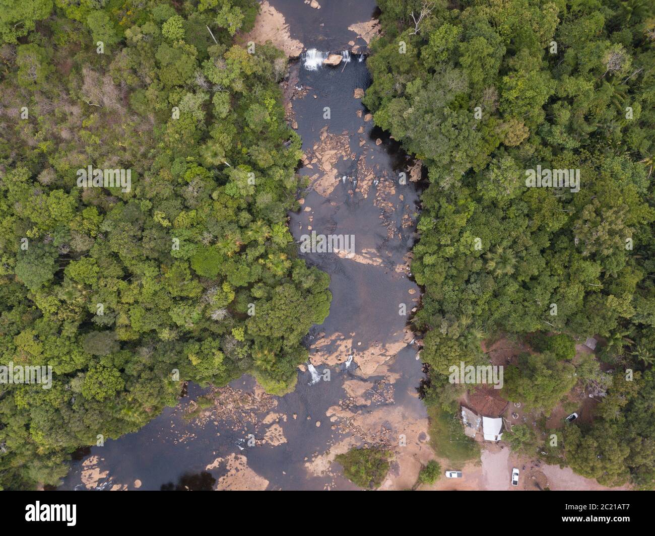 Beautiful drone aerial view over Curua River waterfalls and forest trees in the Serra do Cachimbo in the Amazon rainforest, Para, Brazil. co2 Stock Photohttps://www.alamy.com/image-license-details/?v=1https://www.alamy.com/beautiful-drone-aerial-view-over-curua-river-waterfalls-and-forest-trees-in-the-serra-do-cachimbo-in-the-amazon-rainforest-para-brazil-co2-image362677511.html
RF2C21AT7–Beautiful drone aerial view over Curua River waterfalls and forest trees in the Serra do Cachimbo in the Amazon rainforest, Para, Brazil. co2
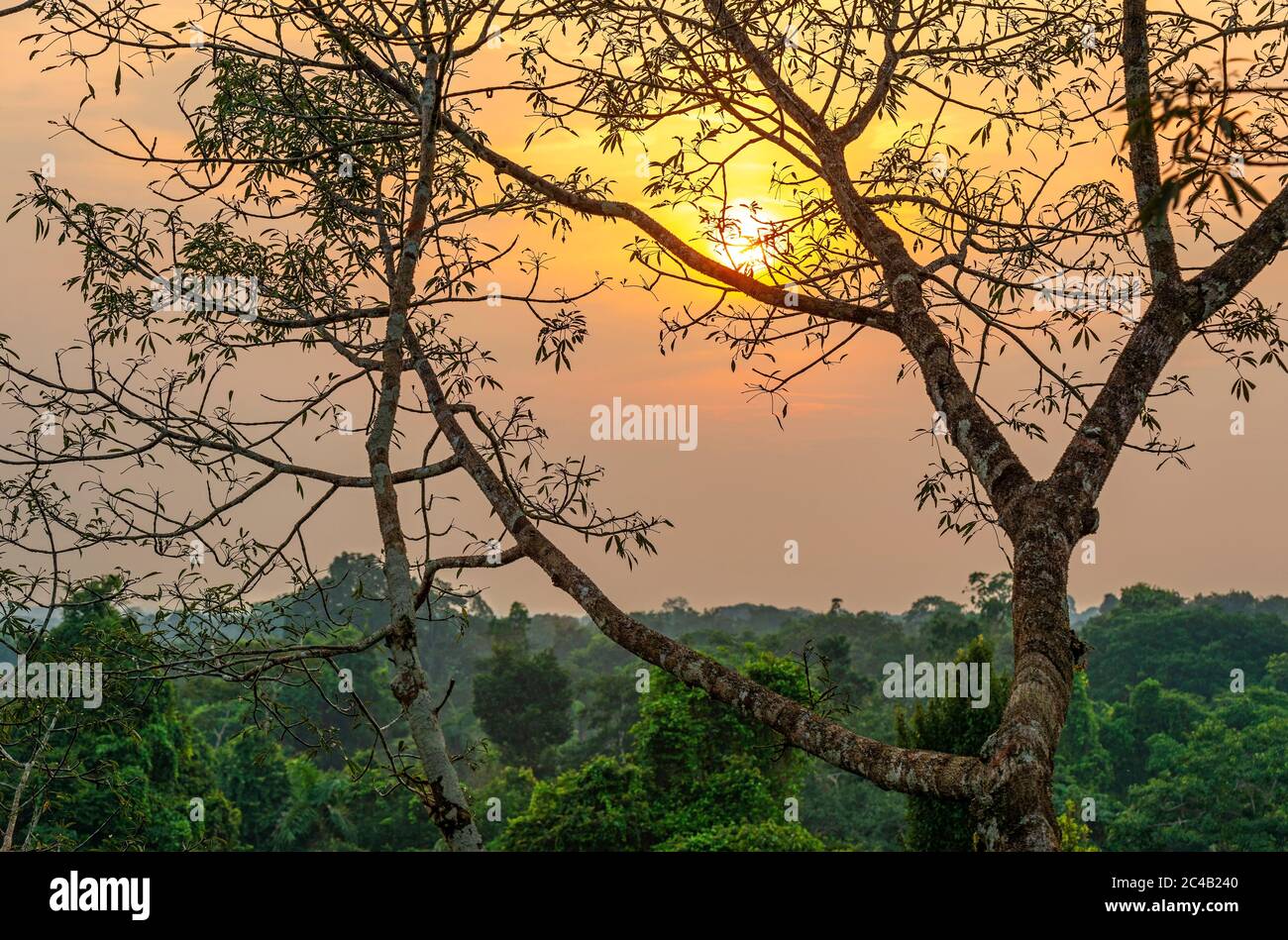 Aerial Amazon Rainforest landscape at sunset comprising the countries Brazil, Peru, Ecuador, Suriname, (French) Guyana, Bolivia, Venezuela, Colombia. Stock Photohttps://www.alamy.com/image-license-details/?v=1https://www.alamy.com/aerial-amazon-rainforest-landscape-at-sunset-comprising-the-countries-brazil-peru-ecuador-suriname-french-guyana-bolivia-venezuela-colombia-image364119504.html
RF2C4B240–Aerial Amazon Rainforest landscape at sunset comprising the countries Brazil, Peru, Ecuador, Suriname, (French) Guyana, Bolivia, Venezuela, Colombia.
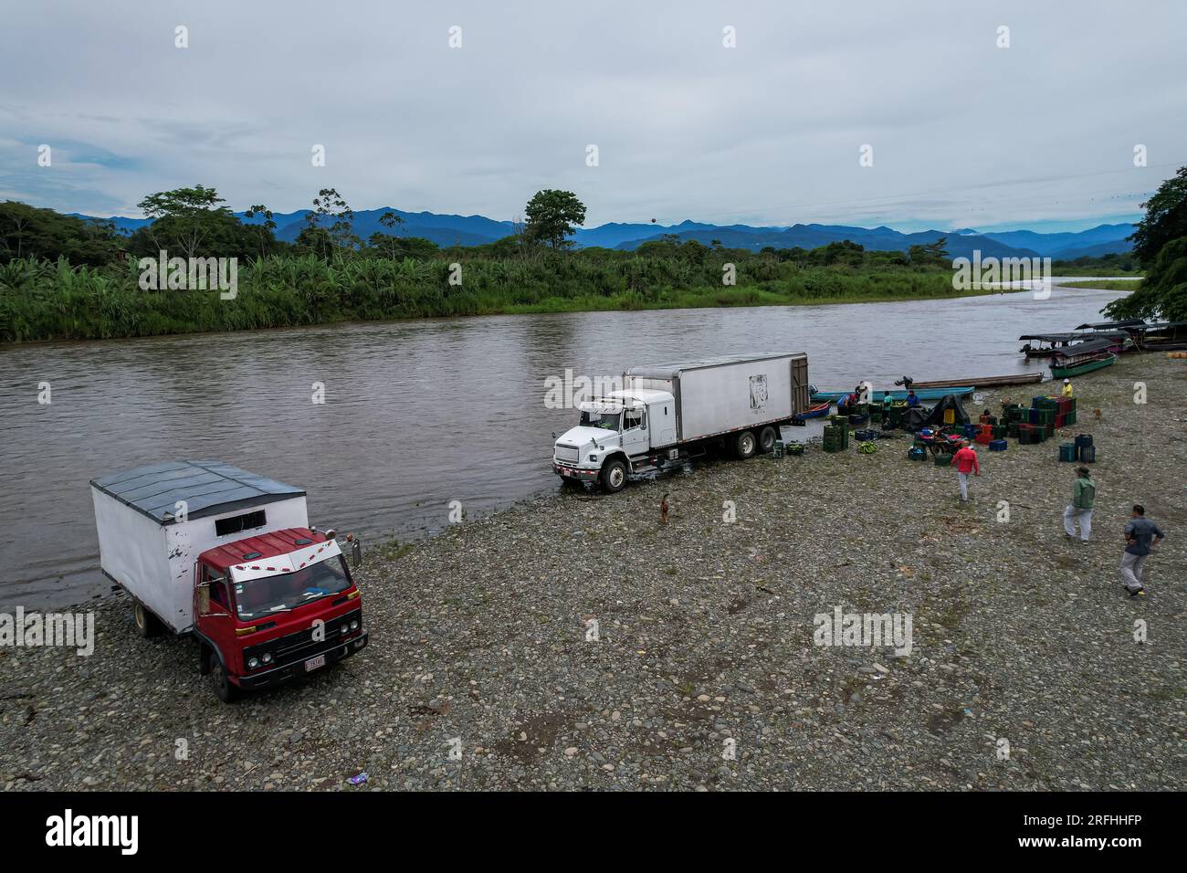 Beautiful aerial view of Bananito River in the Costa Rica Rainforest the Talamanca Region Stock Photohttps://www.alamy.com/image-license-details/?v=1https://www.alamy.com/beautiful-aerial-view-of-bananito-river-in-the-costa-rica-rainforest-the-talamanca-region-image560338570.html
RF2RFHHFP–Beautiful aerial view of Bananito River in the Costa Rica Rainforest the Talamanca Region
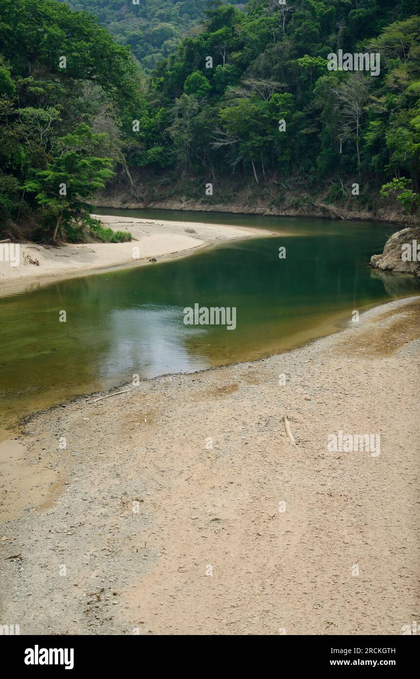 Aerial shot of river in dry season, Soberania national park, Panama - stock photo Stock Photohttps://www.alamy.com/image-license-details/?v=1https://www.alamy.com/aerial-shot-of-river-in-dry-season-soberania-national-park-panama-stock-photo-image558537969.html
RF2RCKGTH–Aerial shot of river in dry season, Soberania national park, Panama - stock photo
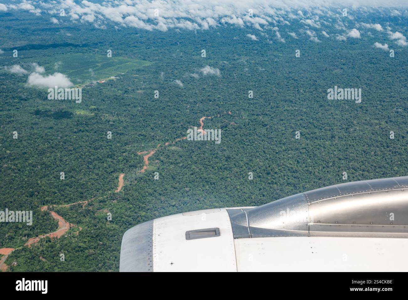 Amazon rainforest with river in Orellana Province seen from aeroplane window above, Ecuador, South America Stock Photohttps://www.alamy.com/image-license-details/?v=1https://www.alamy.com/amazon-rainforest-with-river-in-orellana-province-seen-from-aeroplane-window-above-ecuador-south-america-image639520882.html
RM2S4CKBE–Amazon rainforest with river in Orellana Province seen from aeroplane window above, Ecuador, South America
 Stunning green rainforest landscape in the center of Kauai, Hawaii. Aerial shot from helicopter. Stock Photohttps://www.alamy.com/image-license-details/?v=1https://www.alamy.com/stunning-green-rainforest-landscape-in-the-center-of-kauai-hawaii-image62864406.html
RMDJ7M5A–Stunning green rainforest landscape in the center of Kauai, Hawaii. Aerial shot from helicopter.
 Aerial drone view of a long, brown winding river through tropical rainforest (Kinabatangan River, Borneo) Stock Photohttps://www.alamy.com/image-license-details/?v=1https://www.alamy.com/aerial-drone-view-of-a-long-brown-winding-river-through-tropical-rainforest-kinabatangan-river-borneo-image262215654.html
RFW6GXMP–Aerial drone view of a long, brown winding river through tropical rainforest (Kinabatangan River, Borneo)
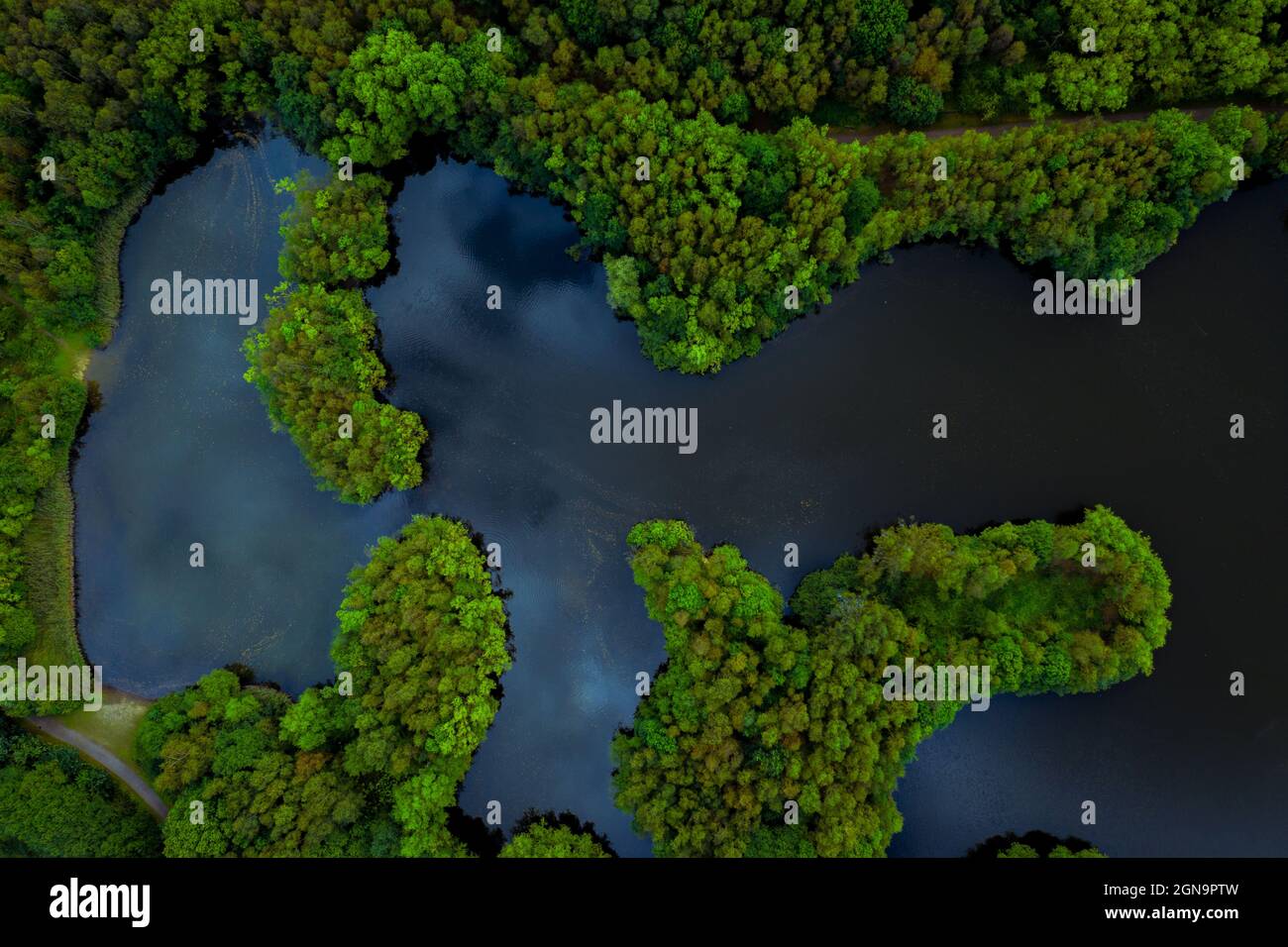 Aerial view of lush green rainforest canopy with tree covered islands surrounded by river water in a tropical Amazon or Thailand environment Stock Photohttps://www.alamy.com/image-license-details/?v=1https://www.alamy.com/aerial-view-of-lush-green-rainforest-canopy-with-tree-covered-islands-surrounded-by-river-water-in-a-tropical-amazon-or-thailand-environment-image443382489.html
RF2GN9PTW–Aerial view of lush green rainforest canopy with tree covered islands surrounded by river water in a tropical Amazon or Thailand environment
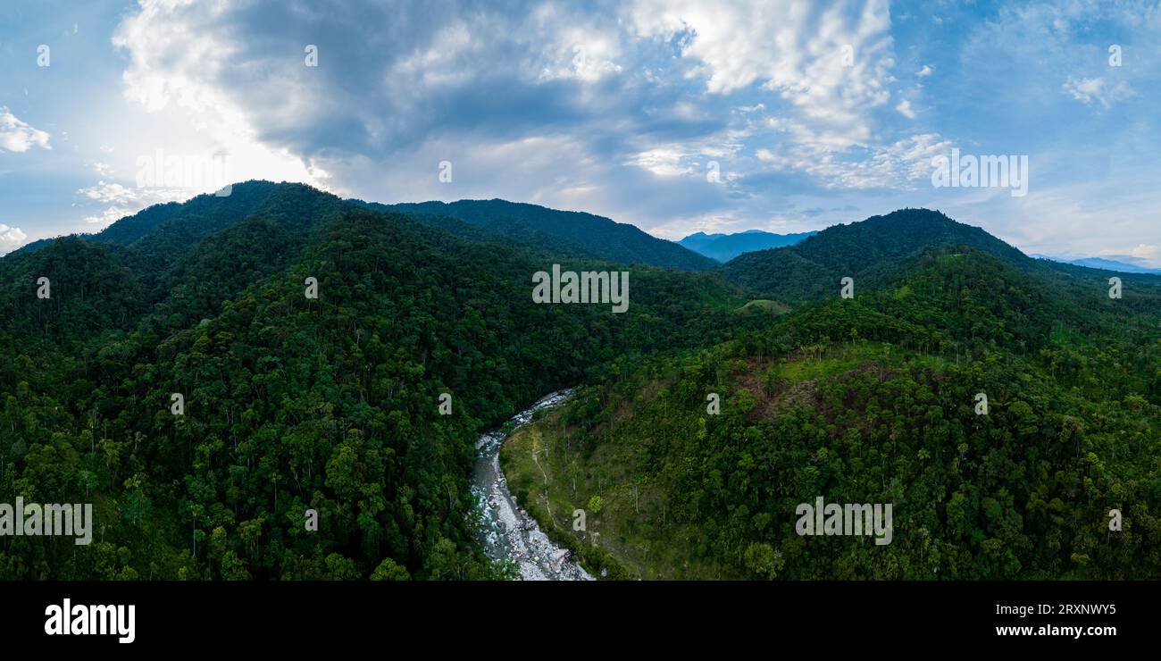 Aerial view of river flowing between green forested hills, Napo Province, Ecuador Stock Photohttps://www.alamy.com/image-license-details/?v=1https://www.alamy.com/aerial-view-of-river-flowing-between-green-forested-hills-napo-province-ecuador-image567194185.html
RM2RXNWY5–Aerial view of river flowing between green forested hills, Napo Province, Ecuador
 An aerial view of the mouth and estuary of the Kilbella and Chuckwalla Rivers in the Pacific Ocean, Great Bear Rainforest, British Columbia, Canada Stock Photohttps://www.alamy.com/image-license-details/?v=1https://www.alamy.com/an-aerial-view-of-the-mouth-and-estuary-of-the-kilbella-and-chuckwalla-rivers-in-the-pacific-ocean-great-bear-rainforest-british-columbia-canada-image359684102.html
RF2BW50MP–An aerial view of the mouth and estuary of the Kilbella and Chuckwalla Rivers in the Pacific Ocean, Great Bear Rainforest, British Columbia, Canada
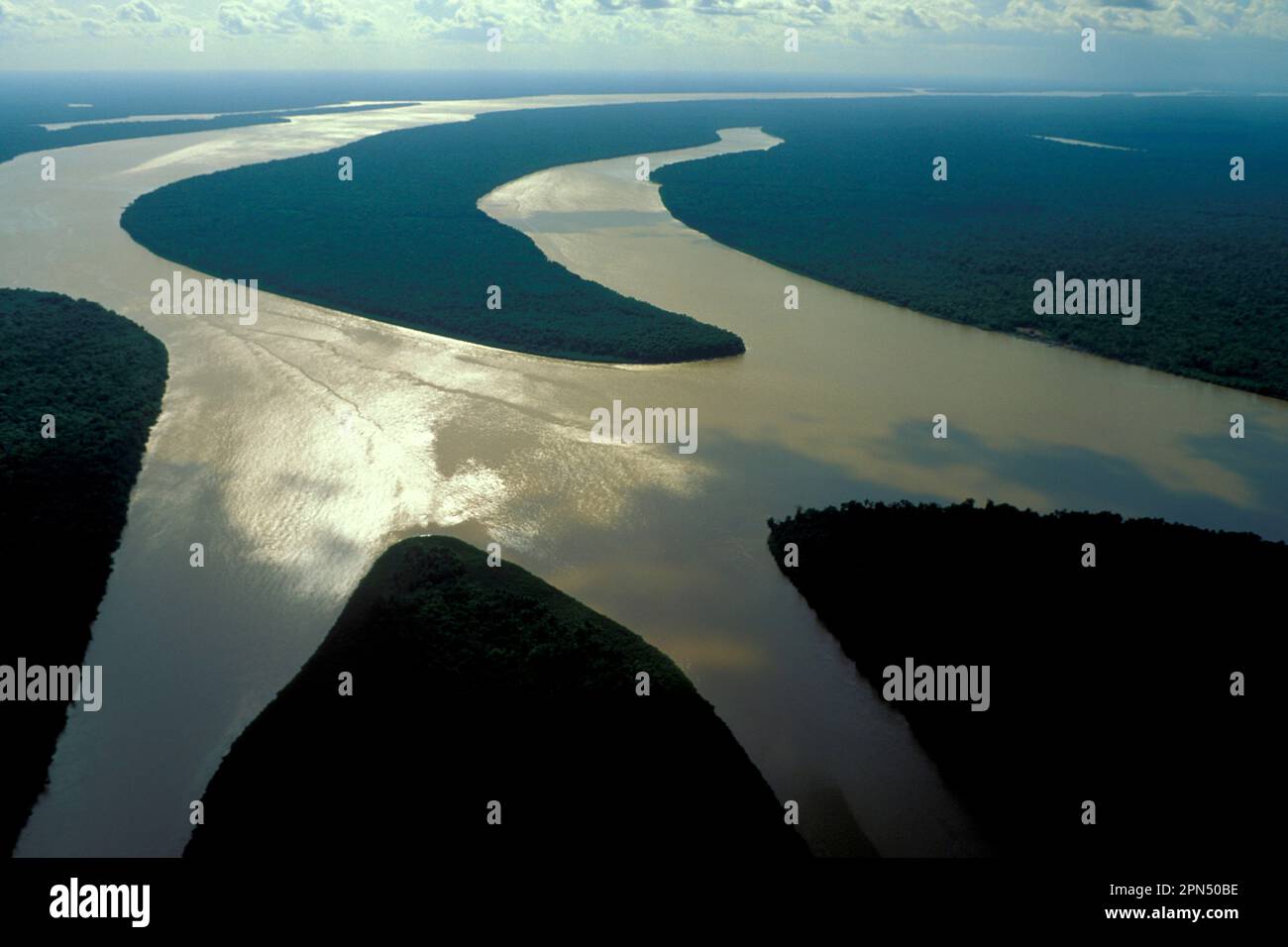 Aerial view of islands in Amazon estuary near Marajó Island, Pará, Brazil, in late afternoon. Stock Photohttps://www.alamy.com/image-license-details/?v=1https://www.alamy.com/aerial-view-of-islands-in-amazon-estuary-near-maraj-island-par-brazil-in-late-afternoon-image546539266.html
RM2PN50BE–Aerial view of islands in Amazon estuary near Marajó Island, Pará, Brazil, in late afternoon.
 Rio Verde Village In Ecuadorian Andes Aerial Shot Stock Photohttps://www.alamy.com/image-license-details/?v=1https://www.alamy.com/stock-photo-rio-verde-village-in-ecuadorian-andes-aerial-shot-78541884.html
RFEFNTY8–Rio Verde Village In Ecuadorian Andes Aerial Shot
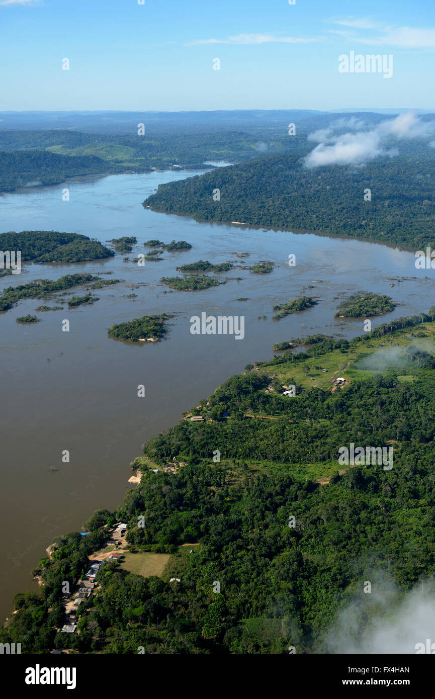 Aerial view, fishing village Periquito, river Rio Tapajos in the Amazon rainforest, planned dam Sao Luiz do Tapajós, Itaituba Stock Photohttps://www.alamy.com/image-license-details/?v=1https://www.alamy.com/stock-photo-aerial-view-fishing-village-periquito-river-rio-tapajos-in-the-amazon-102134333.html
RFFX4HAN–Aerial view, fishing village Periquito, river Rio Tapajos in the Amazon rainforest, planned dam Sao Luiz do Tapajós, Itaituba
 Fox Glacier, New Zealand: Aerial drone view of the bridge over the Karangarua river near Fox glacier in New Zealand south island wild west coast. Stock Photohttps://www.alamy.com/image-license-details/?v=1https://www.alamy.com/fox-glacier-new-zealand-aerial-drone-view-of-the-bridge-over-the-karangarua-river-near-fox-glacier-in-new-zealand-south-island-wild-west-coast-image612663979.html
RF2XGN74B–Fox Glacier, New Zealand: Aerial drone view of the bridge over the Karangarua river near Fox glacier in New Zealand south island wild west coast.
 Rainforest aerial, Yavari-Mirin River (rear) and Yavari River (front) and primary forest, Amazon Region, Peru Stock Photohttps://www.alamy.com/image-license-details/?v=1https://www.alamy.com/stock-photo-rainforest-aerial-yavari-mirin-river-rear-and-yavari-river-front-and-87423082.html
RMF26D0X–Rainforest aerial, Yavari-Mirin River (rear) and Yavari River (front) and primary forest, Amazon Region, Peru
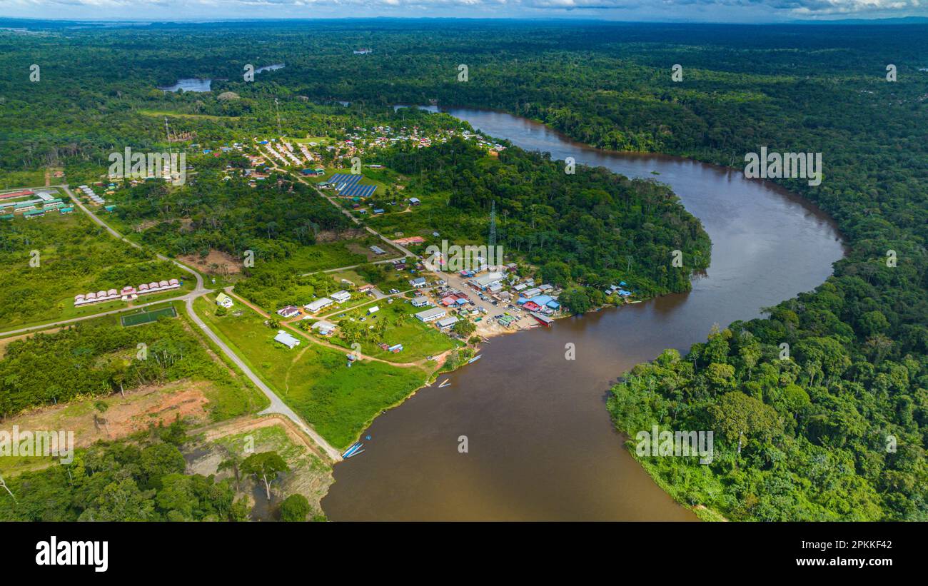 Aerial of the Suriname River at Pokigron, Suriname, South America Stock Photohttps://www.alamy.com/image-license-details/?v=1https://www.alamy.com/aerial-of-the-suriname-river-at-pokigron-suriname-south-america-image545628834.html
RF2PKKF42–Aerial of the Suriname River at Pokigron, Suriname, South America
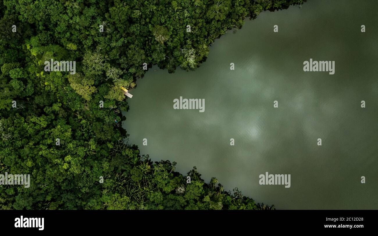 Aerial view on a lake surrounded by tropical amazon rainforest with a yellow boat and pier. Blue Laguna in San Martin region, Peru. Stock Photohttps://www.alamy.com/image-license-details/?v=1https://www.alamy.com/aerial-view-on-a-lake-surrounded-by-tropical-amazon-rainforest-with-a-yellow-boat-and-pier-blue-laguna-in-san-martin-region-peru-image362086544.html
RF2C12D28–Aerial view on a lake surrounded by tropical amazon rainforest with a yellow boat and pier. Blue Laguna in San Martin region, Peru.