Aerial trenches world war i Stock Photos and Images
(368)See aerial trenches world war i stock video clipsQuick filters:
Aerial trenches world war i Stock Photos and Images
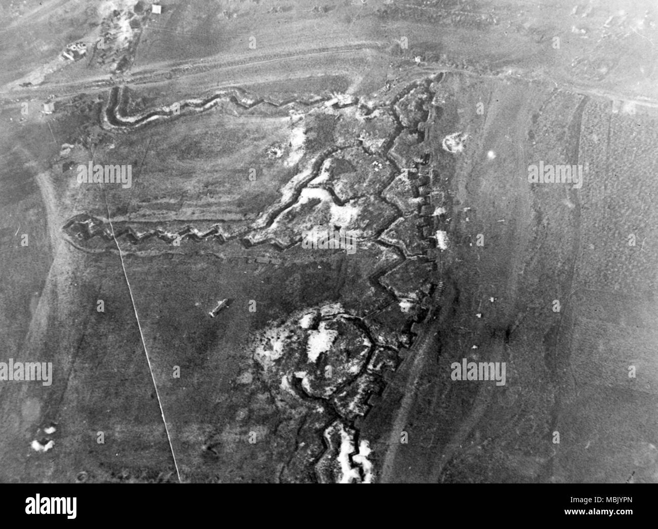 Somme River Trenching Zig Zags Across Battlefield Stock Photohttps://www.alamy.com/image-license-details/?v=1https://www.alamy.com/somme-river-trenching-zig-zags-across-battlefield-image179281837.html
RMMBJYPN–Somme River Trenching Zig Zags Across Battlefield
 Photographing the Enemy's trenches - Aerial photography in World War I, circa 1916 Stock Photohttps://www.alamy.com/image-license-details/?v=1https://www.alamy.com/stock-photo-photographing-the-enemys-trenches-aerial-photography-in-world-war-80301387.html
RMEJJ16K–Photographing the Enemy's trenches - Aerial photography in World War I, circa 1916
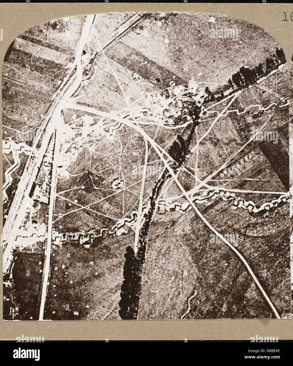 WORLD WAR I AERIAL VIEW Stock Photohttps://www.alamy.com/image-license-details/?v=1https://www.alamy.com/stock-photo-world-war-i-aerial-view-56800926.html
RMD8BE4E–WORLD WAR I AERIAL VIEW
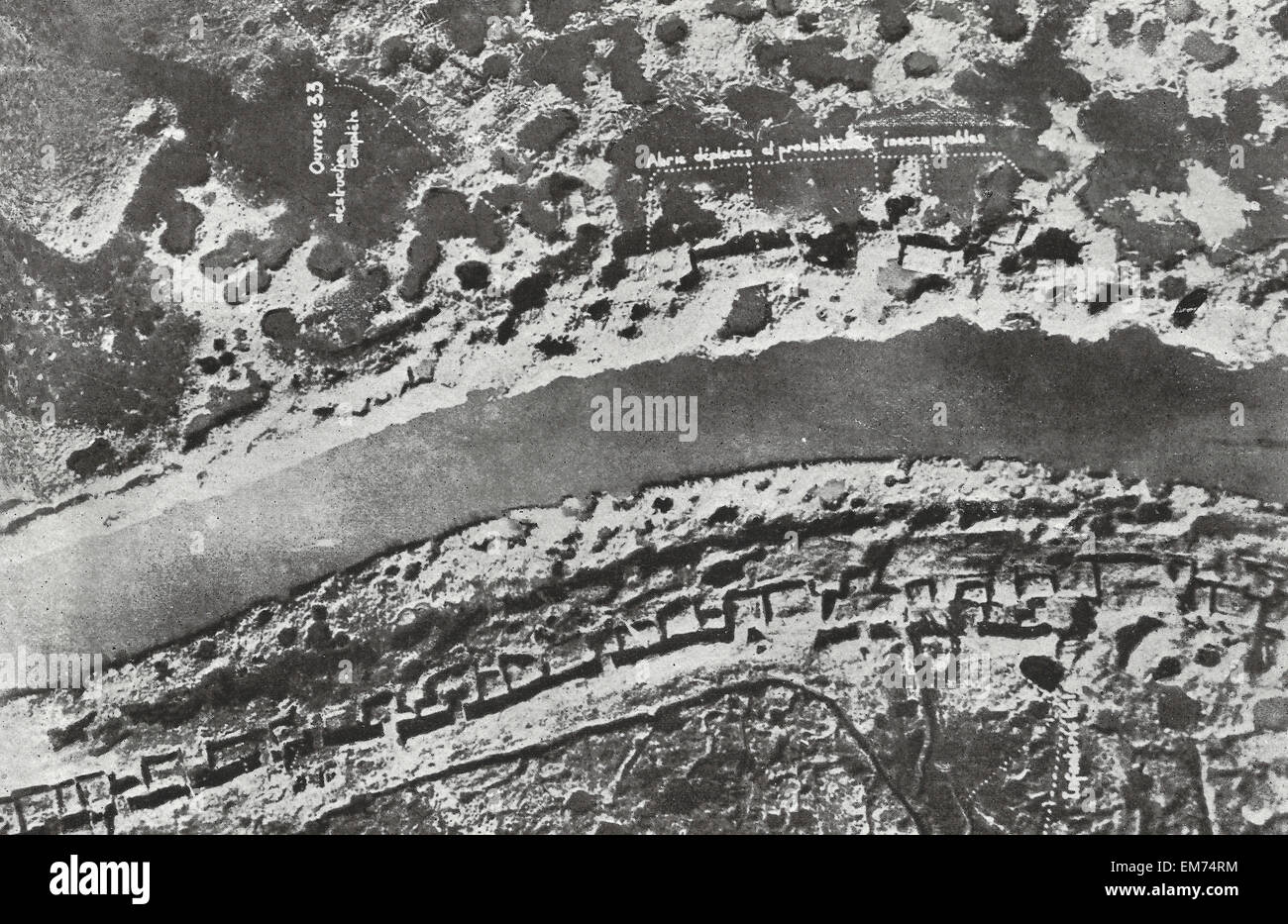 Airplane view of Bombarded German trenches during World War I Stock Photohttps://www.alamy.com/image-license-details/?v=1https://www.alamy.com/stock-photo-airplane-view-of-bombarded-german-trenches-during-world-war-i-81292056.html
RMEM74RM–Airplane view of Bombarded German trenches during World War I
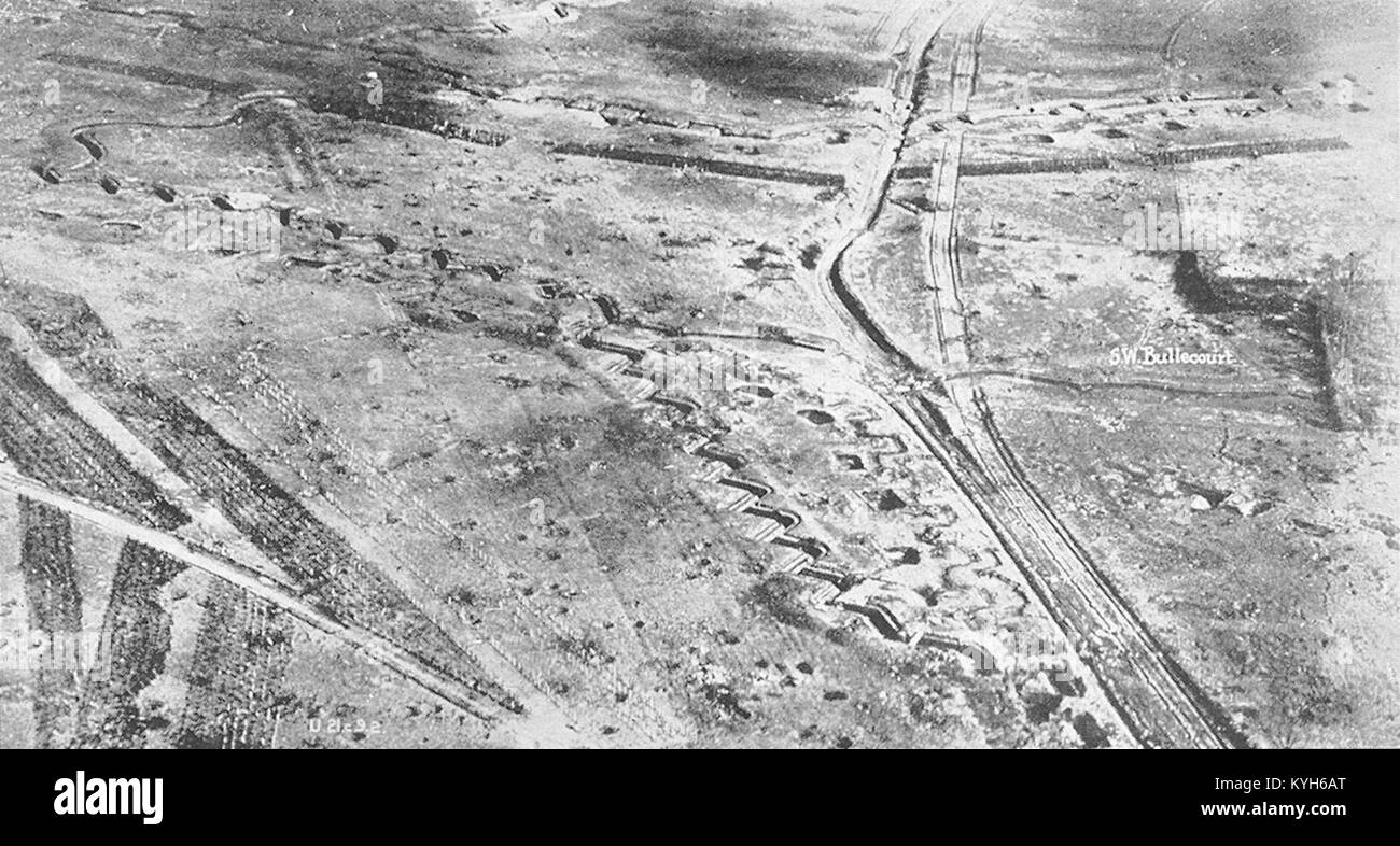 The Hindenberg line at Bullecourt at end of the War, Hindenburg Line, German defensive position of World War I Stock Photohttps://www.alamy.com/image-license-details/?v=1https://www.alamy.com/stock-photo-the-hindenberg-line-at-bullecourt-at-end-of-the-war-hindenburg-line-171867216.html
RMKYH6AT–The Hindenberg line at Bullecourt at end of the War, Hindenburg Line, German defensive position of World War I
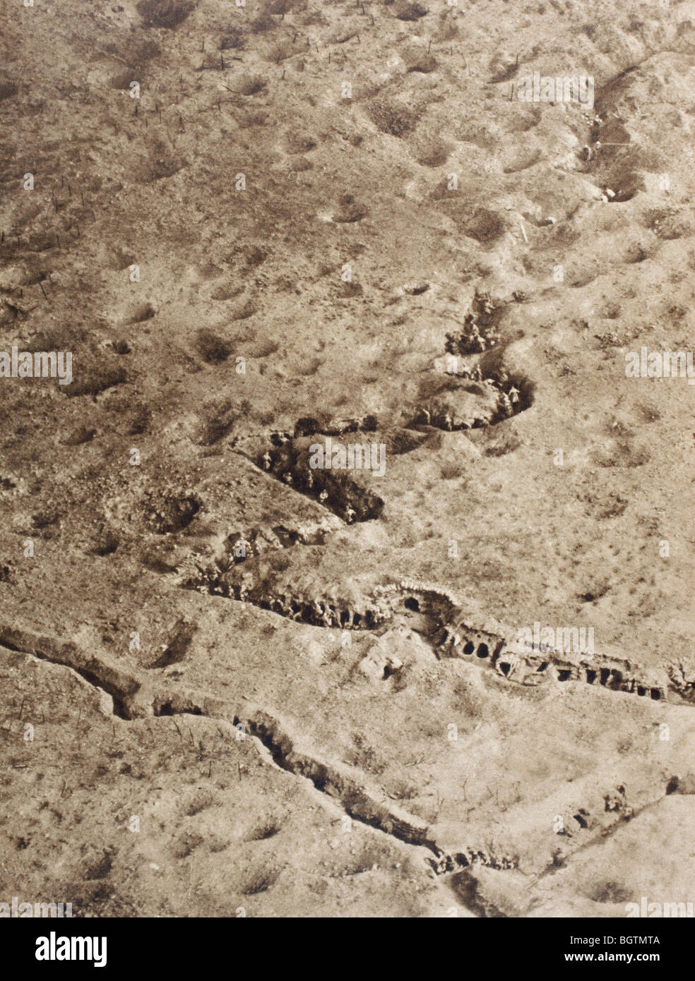 Aerial view of trenches on the Somme battlefield during the First World War. Stock Photohttps://www.alamy.com/image-license-details/?v=1https://www.alamy.com/stock-photo-aerial-view-of-trenches-on-the-somme-battlefield-during-the-first-27588074.html
RMBGTMTA–Aerial view of trenches on the Somme battlefield during the First World War.
RMHT260Y–World War I practice trenches, Beacon Hill, near Bulford, Salisbury Plain, Wiltshire, 2007. Artist: Historic England Staff Photographer.
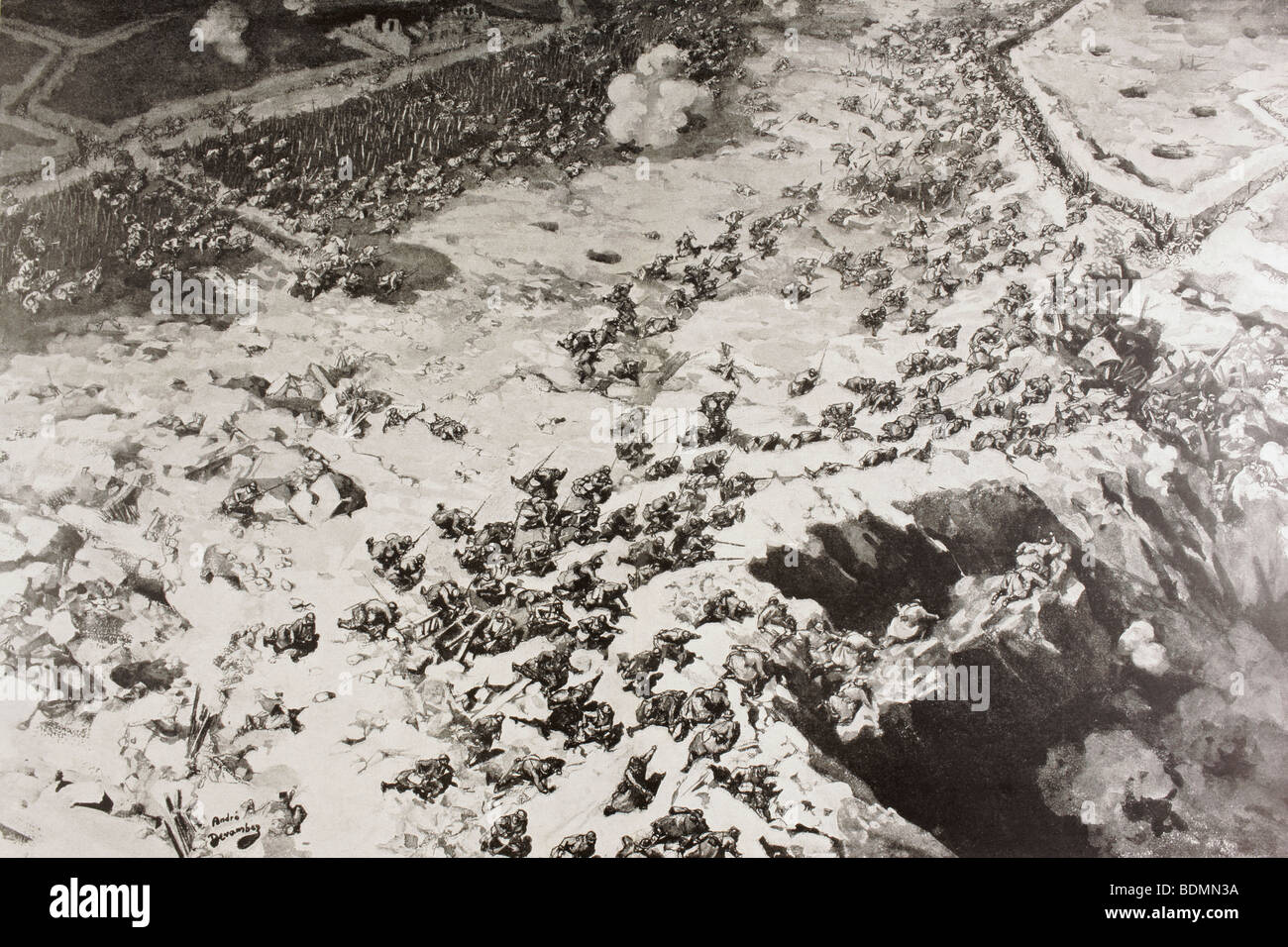 Aerial view of waves of French troops assault German trenches in First World War. Stock Photohttps://www.alamy.com/image-license-details/?v=1https://www.alamy.com/stock-photo-aerial-view-of-waves-of-french-troops-assault-german-trenches-in-first-25656494.html
RMBDMN3A–Aerial view of waves of French troops assault German trenches in First World War.
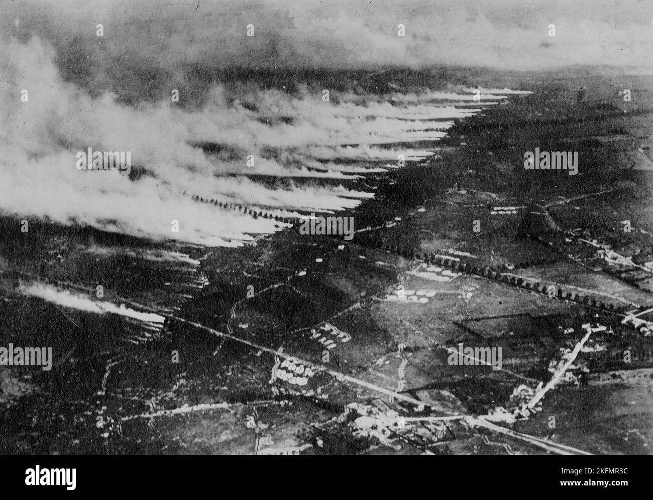 WESTERN FRONT, FRANCE - circa 1915 - Aerial photograph of a gas attack on the Somme battlefield using metal canisters of liquid gas. When the canister Stock Photohttps://www.alamy.com/image-license-details/?v=1https://www.alamy.com/western-front-france-circa-1915-aerial-photograph-of-a-gas-attack-on-the-somme-battlefield-using-metal-canisters-of-liquid-gas-when-the-canister-image491567312.html
RM2KFMR3C–WESTERN FRONT, FRANCE - circa 1915 - Aerial photograph of a gas attack on the Somme battlefield using metal canisters of liquid gas. When the canister
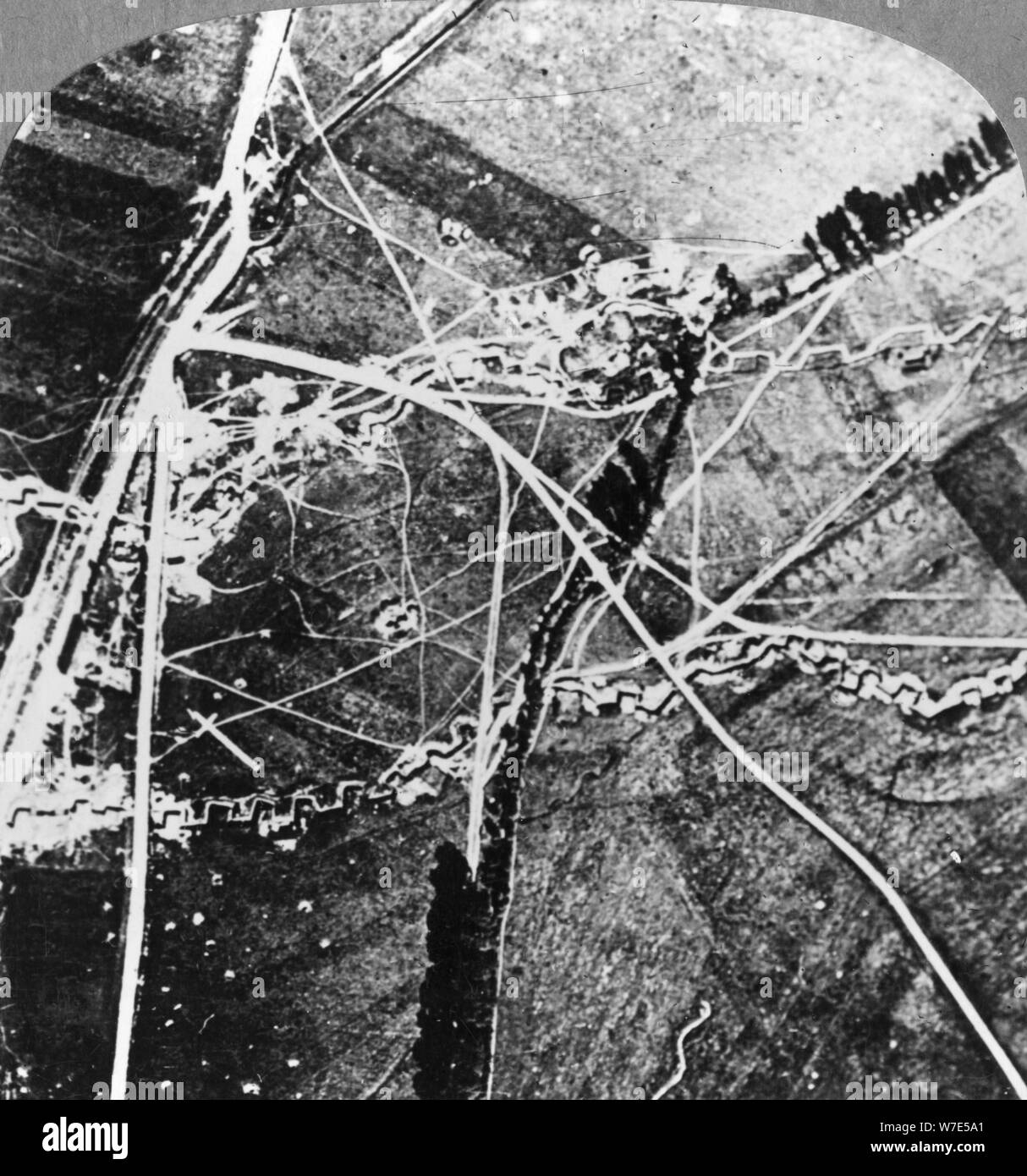 The Hindenburg Line from 8000 feet, France, World War I, c1916-c1918. Artist: Realistic Travels Publishers Stock Photohttps://www.alamy.com/image-license-details/?v=1https://www.alamy.com/the-hindenburg-line-from-8000-feet-france-world-war-i-c1916-c1918-artist-realistic-travels-publishers-image262769641.html
RMW7E5A1–The Hindenburg Line from 8000 feet, France, World War I, c1916-c1918. Artist: Realistic Travels Publishers
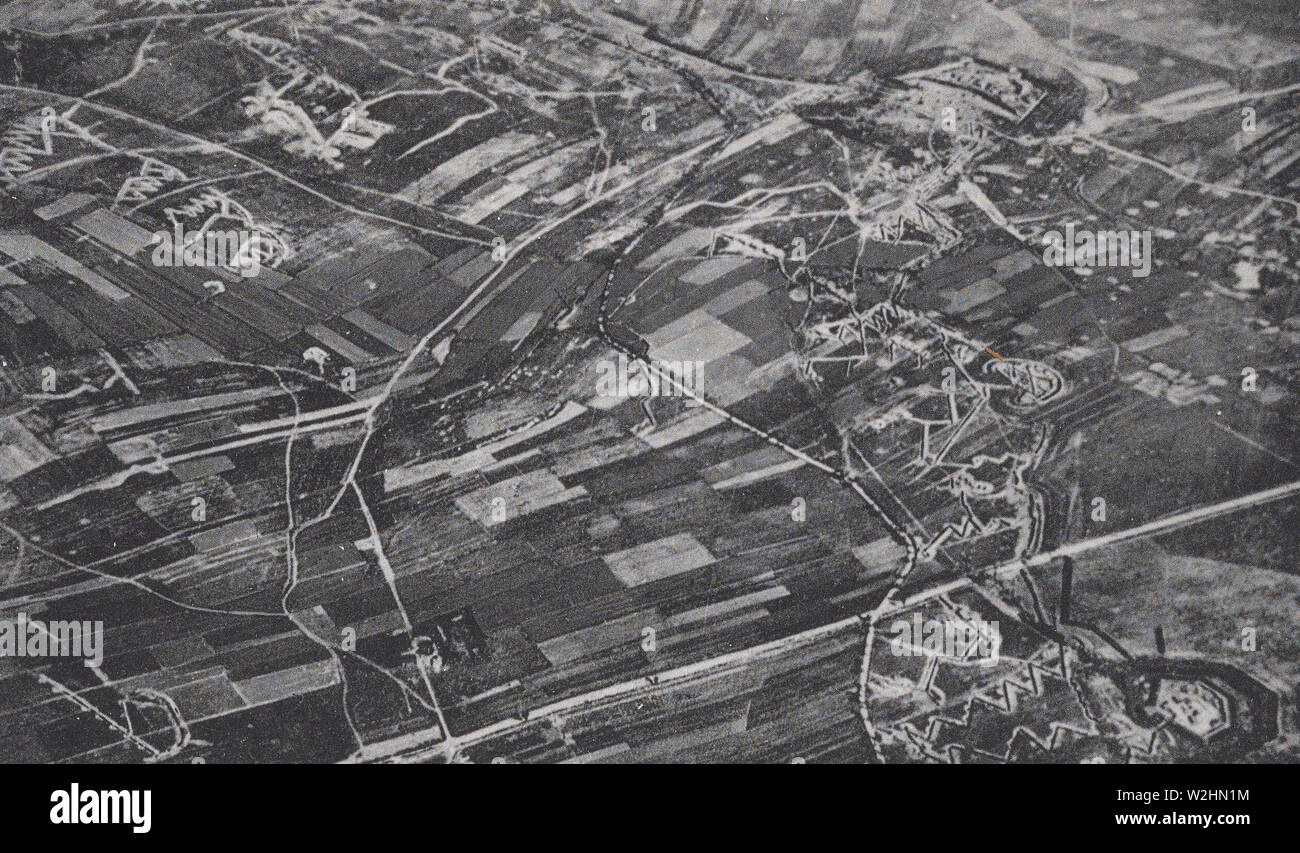 Aerial view of French and German trenches during World War I (WW I trenches) ca. 1916-1918 Stock Photohttps://www.alamy.com/image-license-details/?v=1https://www.alamy.com/aerial-view-of-french-and-german-trenches-during-world-war-i-ww-i-trenches-ca-1916-1918-image259774528.html
RMW2HN1M–Aerial view of French and German trenches during World War I (WW I trenches) ca. 1916-1918
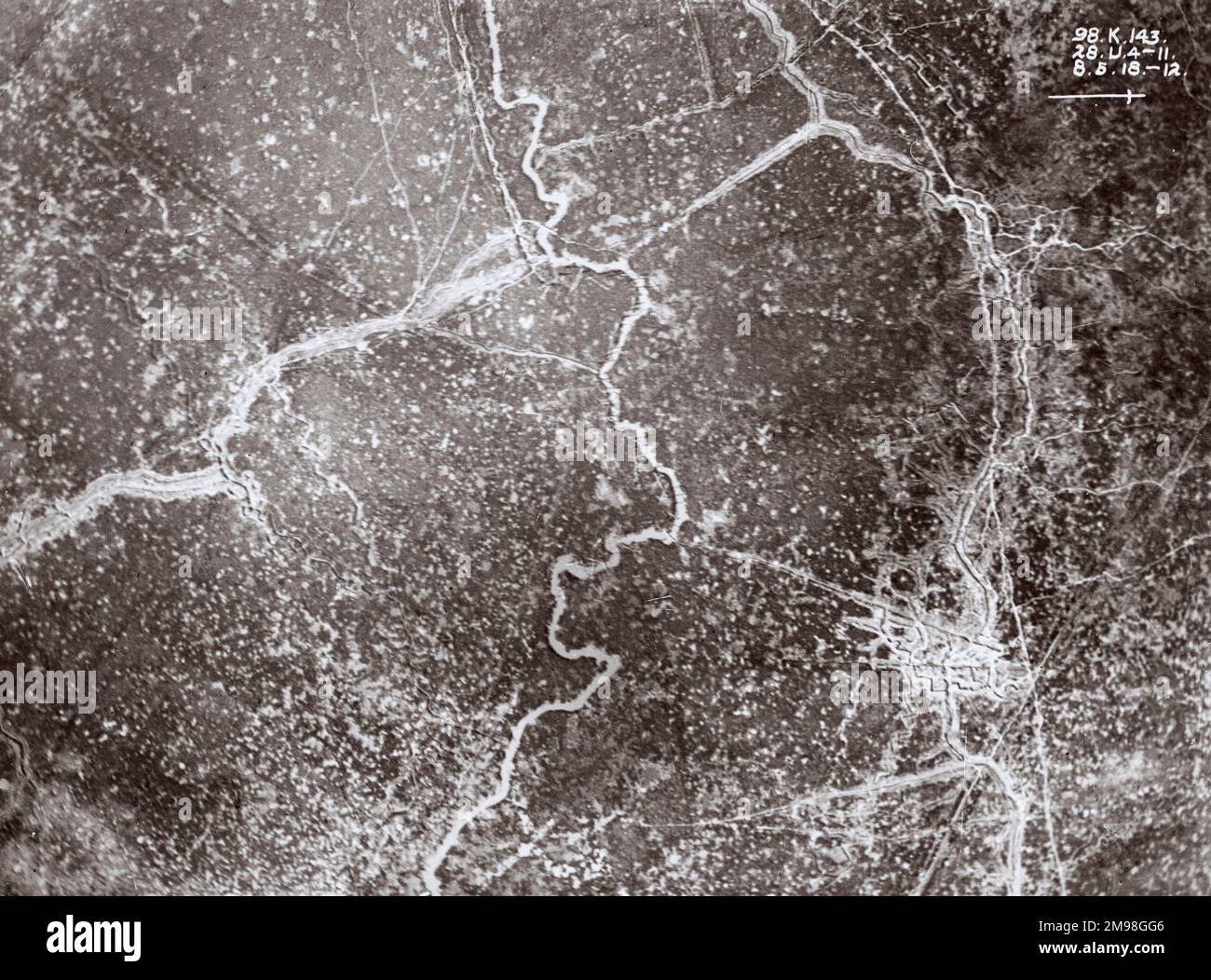 Aerial view of front line trenches near Kemmel and Wulvergem, West Flanders, Belgium, on 8 May 1918. Stock Photohttps://www.alamy.com/image-license-details/?v=1https://www.alamy.com/aerial-view-of-front-line-trenches-near-kemmel-and-wulvergem-west-flanders-belgium-on-8-may-1918-image504821190.html
RM2M98GG6–Aerial view of front line trenches near Kemmel and Wulvergem, West Flanders, Belgium, on 8 May 1918.
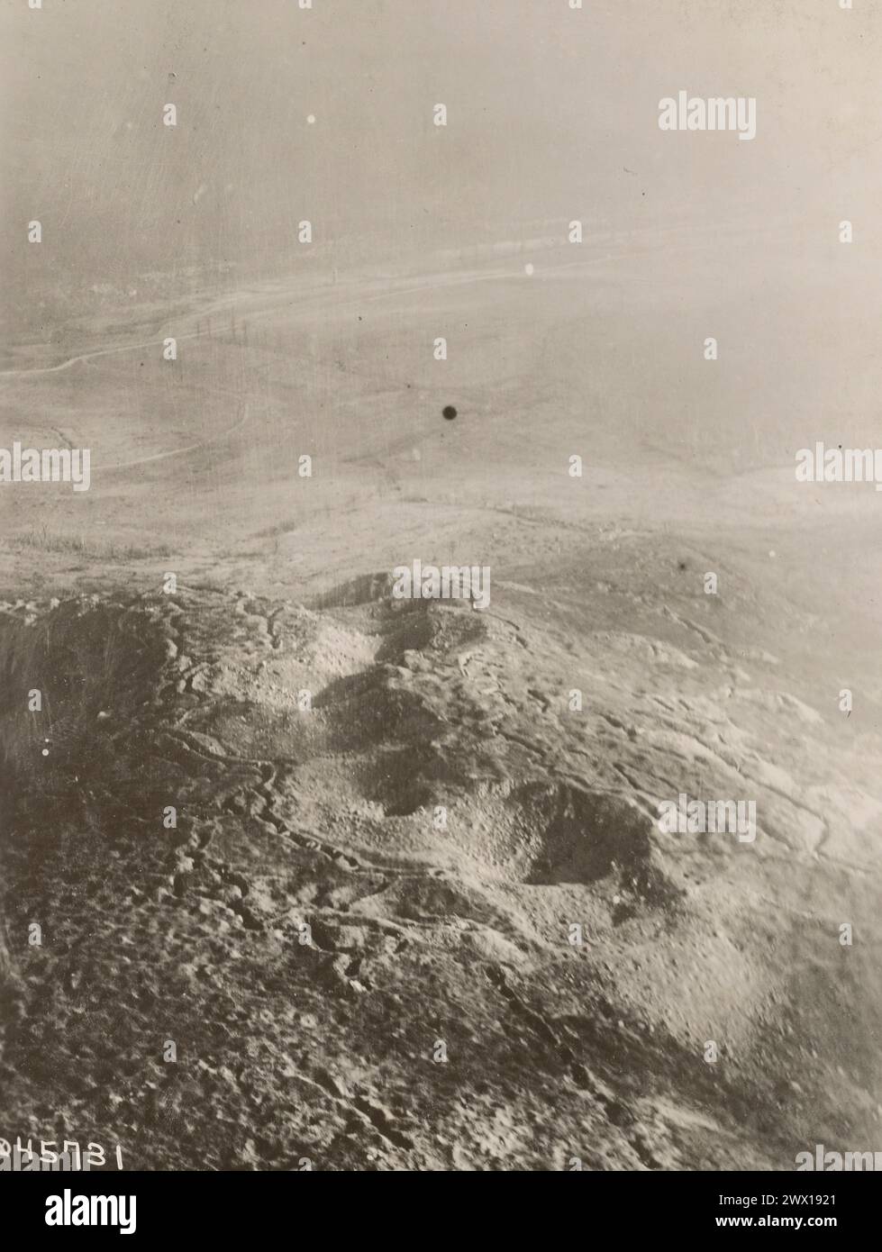 Aerial view of trenches in France during World War I ca. 1916-1918 Stock Photohttps://www.alamy.com/image-license-details/?v=1https://www.alamy.com/aerial-view-of-trenches-in-france-during-world-war-i-ca-1916-1918-image601162633.html
RM2WX1921–Aerial view of trenches in France during World War I ca. 1916-1918
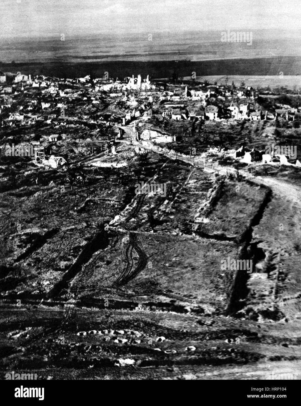 WWI, Deserted Trenches, 1918 Stock Photohttps://www.alamy.com/image-license-details/?v=1https://www.alamy.com/stock-photo-wwi-deserted-trenches-1918-135093396.html
RMHRP104–WWI, Deserted Trenches, 1918
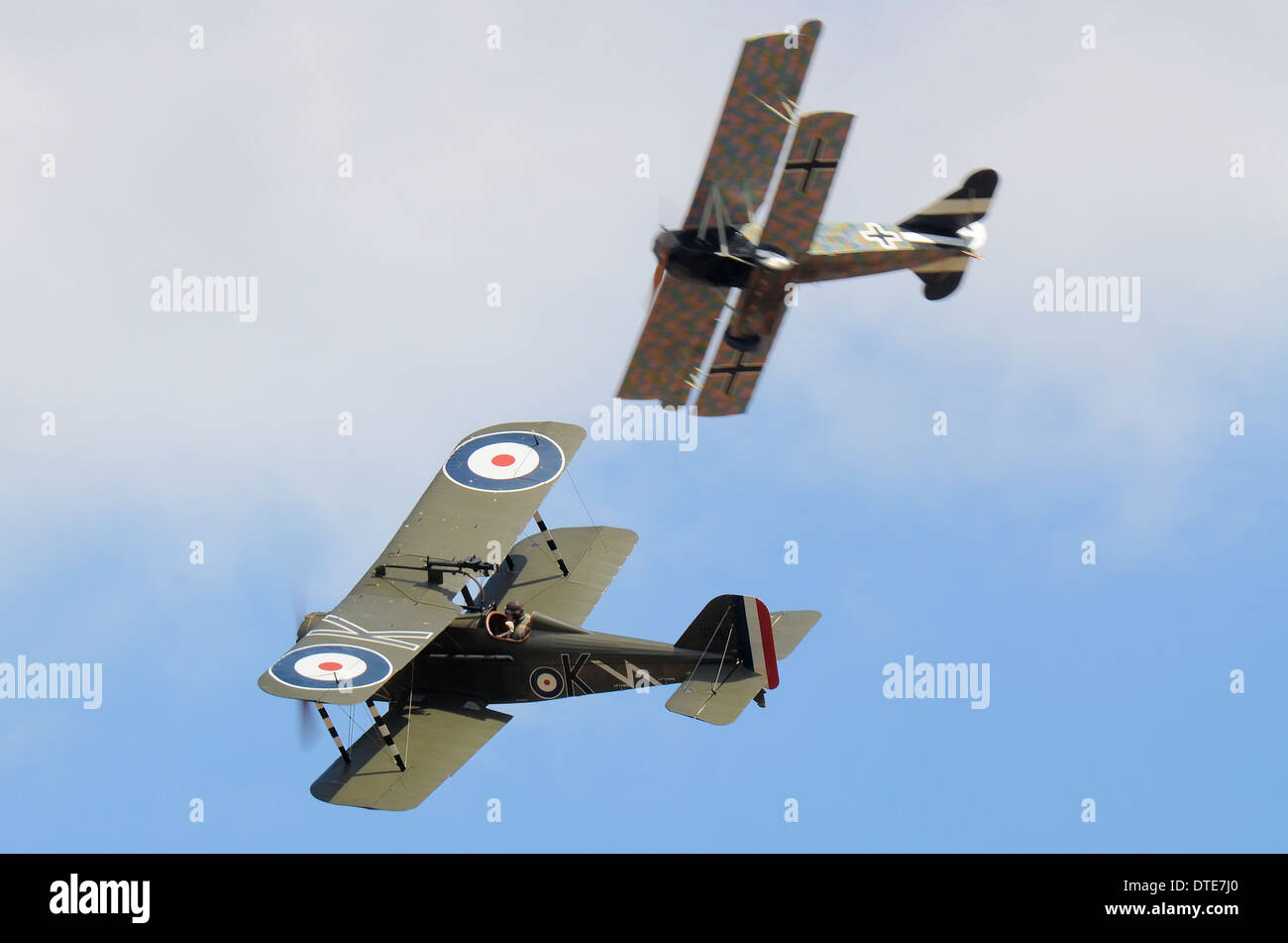 Two replica aircraft dogfight as if over the trenches of World War I - the Great War. One German, one British Royal Flying Corps Stock Photohttps://www.alamy.com/image-license-details/?v=1https://www.alamy.com/two-replica-aircraft-dogfight-as-if-over-the-trenches-of-world-war-image66696168.html
RMDTE7J0–Two replica aircraft dogfight as if over the trenches of World War I - the Great War. One German, one British Royal Flying Corps
 NIGHT VIEW FROM ABOVE THE AISNE from the book The story of the great war; the complete historical records of events to date DIPLOMATIC AND STATE PAPERS by Reynolds, Francis Joseph, 1867-1937; Churchill, Allen Leon; Miller, Francis Trevelyan, 1877-1959; Wood, Leonard, 1860-1927; Knight, Austin Melvin, 1854-1927; Palmer, Frederick, 1873-1958; Simonds, Frank Herbert, 1878-; Ruhl, Arthur Brown, 1876- Published 1920 Stock Photohttps://www.alamy.com/image-license-details/?v=1https://www.alamy.com/night-view-from-above-the-aisne-from-the-book-the-story-of-the-great-war-the-complete-historical-records-of-events-to-date-diplomatic-and-state-papers-by-reynolds-francis-joseph-1867-1937-churchill-allen-leon-miller-francis-trevelyan-1877-1959-wood-leonard-1860-1927-knight-austin-melvin-1854-1927-palmer-frederick-1873-1958-simonds-frank-herbert-1878-ruhl-arthur-brown-1876-published-1920-image480021572.html
RF2JTXTBG–NIGHT VIEW FROM ABOVE THE AISNE from the book The story of the great war; the complete historical records of events to date DIPLOMATIC AND STATE PAPERS by Reynolds, Francis Joseph, 1867-1937; Churchill, Allen Leon; Miller, Francis Trevelyan, 1877-1959; Wood, Leonard, 1860-1927; Knight, Austin Melvin, 1854-1927; Palmer, Frederick, 1873-1958; Simonds, Frank Herbert, 1878-; Ruhl, Arthur Brown, 1876- Published 1920
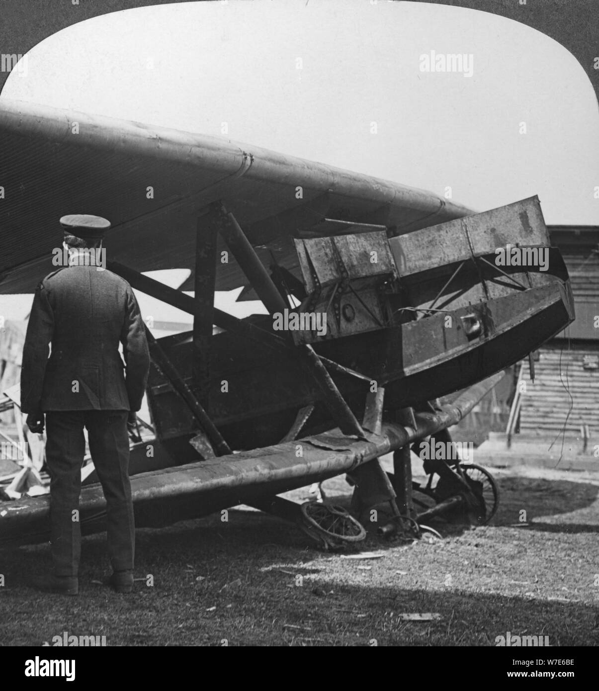 'Armour plated German plane used to attack the Allied trenches', World War I, c1914-c1918. Artist: Realistic Travels Publishers Stock Photohttps://www.alamy.com/image-license-details/?v=1https://www.alamy.com/armour-plated-german-plane-used-to-attack-the-allied-trenches-world-war-i-c1914-c1918-artist-realistic-travels-publishers-image262770466.html
RMW7E6BE–'Armour plated German plane used to attack the Allied trenches', World War I, c1914-c1918. Artist: Realistic Travels Publishers
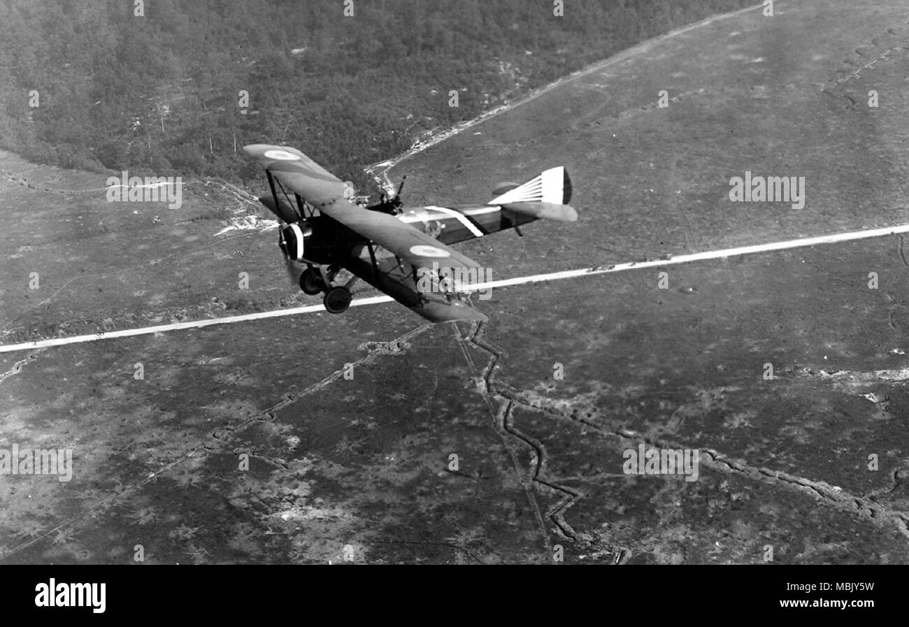 Flying French over Zig zag Trenches Stock Photohttps://www.alamy.com/image-license-details/?v=1https://www.alamy.com/flying-french-over-zig-zag-trenches-image179281365.html
RMMBJY5W–Flying French over Zig zag Trenches
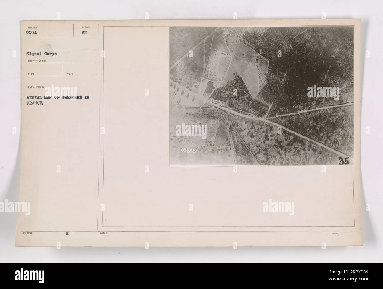 Aerial photograph depicting trenches in France during World War I. The image, bearing the ID code 111-SC-8531, was taken and issued by the Signal Corps. The photographer, RECO, documented this scene for military purposes. The photograph serves as an arrial map showing the layout of trenches in France. Stock Photohttps://www.alamy.com/image-license-details/?v=1https://www.alamy.com/aerial-photograph-depicting-trenches-in-france-during-world-war-i-the-image-bearing-the-id-code-111-sc-8531-was-taken-and-issued-by-the-signal-corps-the-photographer-reco-documented-this-scene-for-military-purposes-the-photograph-serves-as-an-arrial-map-showing-the-layout-of-trenches-in-france-image558074169.html
RM2RBXD89–Aerial photograph depicting trenches in France during World War I. The image, bearing the ID code 111-SC-8531, was taken and issued by the Signal Corps. The photographer, RECO, documented this scene for military purposes. The photograph serves as an arrial map showing the layout of trenches in France.
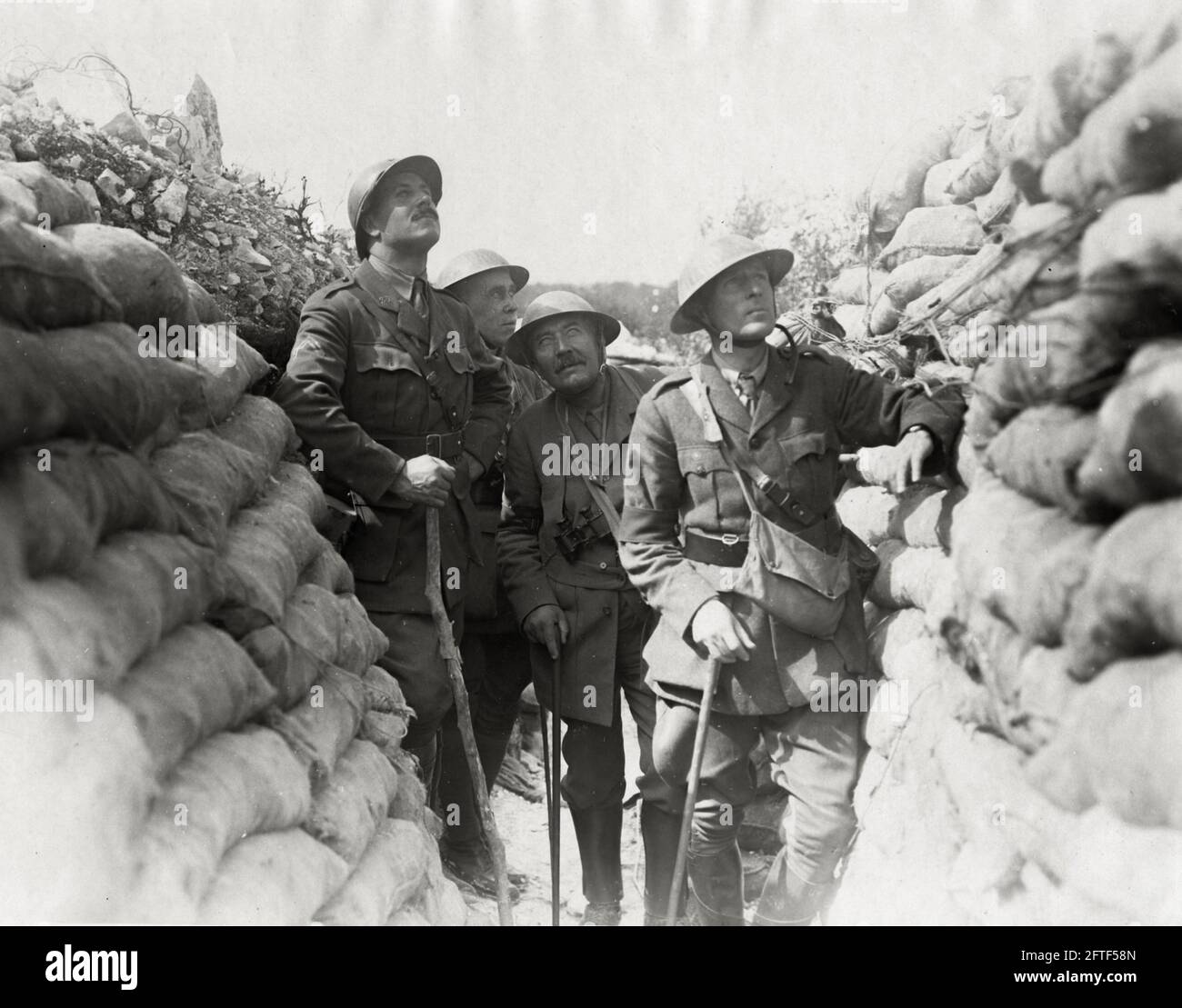 World War One, WWI, Western Front - War correspondents watching aerial combat, France Stock Photohttps://www.alamy.com/image-license-details/?v=1https://www.alamy.com/world-war-one-wwi-western-front-war-correspondents-watching-aerial-combat-france-image428134021.html
RM2FTF58N–World War One, WWI, Western Front - War correspondents watching aerial combat, France
 The image depicts the Church of Reherry, a village where soldiers found respite from the trenches during World War I. Despite the ongoing war, the village remained untouched and possessed natural beauty. The presence of army mules, trucks, and occasional aerial scouting visits served as a reminder of the war happening just a few miles away. Drawn by Capt. J. Andre Smith. This photograph is not meant for public use and is intended for official purposes only. Related image: 14340 F. (50 words) Stock Photohttps://www.alamy.com/image-license-details/?v=1https://www.alamy.com/the-image-depicts-the-church-of-reherry-a-village-where-soldiers-found-respite-from-the-trenches-during-world-war-i-despite-the-ongoing-war-the-village-remained-untouched-and-possessed-natural-beauty-the-presence-of-army-mules-trucks-and-occasional-aerial-scouting-visits-served-as-a-reminder-of-the-war-happening-just-a-few-miles-away-drawn-by-capt-j-andre-smith-this-photograph-is-not-meant-for-public-use-and-is-intended-for-official-purposes-only-related-image-14340-f-50-words-image558546877.html
RM2RCM06N–The image depicts the Church of Reherry, a village where soldiers found respite from the trenches during World War I. Despite the ongoing war, the village remained untouched and possessed natural beauty. The presence of army mules, trucks, and occasional aerial scouting visits served as a reminder of the war happening just a few miles away. Drawn by Capt. J. Andre Smith. This photograph is not meant for public use and is intended for official purposes only. Related image: 14340 F. (50 words)
 Members of Queen Mary's Army Auxiliary Corps wear steel helmets while in trenches constructed for shelter in the event of an aerial attack at Rouen, France, on 18 June 1918. Stock Photohttps://www.alamy.com/image-license-details/?v=1https://www.alamy.com/members-of-queen-marys-army-auxiliary-corps-wear-steel-helmets-while-in-trenches-constructed-for-shelter-in-the-event-of-an-aerial-attack-at-rouen-france-on-18-june-1918-image463758771.html
RM2HXE117–Members of Queen Mary's Army Auxiliary Corps wear steel helmets while in trenches constructed for shelter in the event of an aerial attack at Rouen, France, on 18 June 1918.
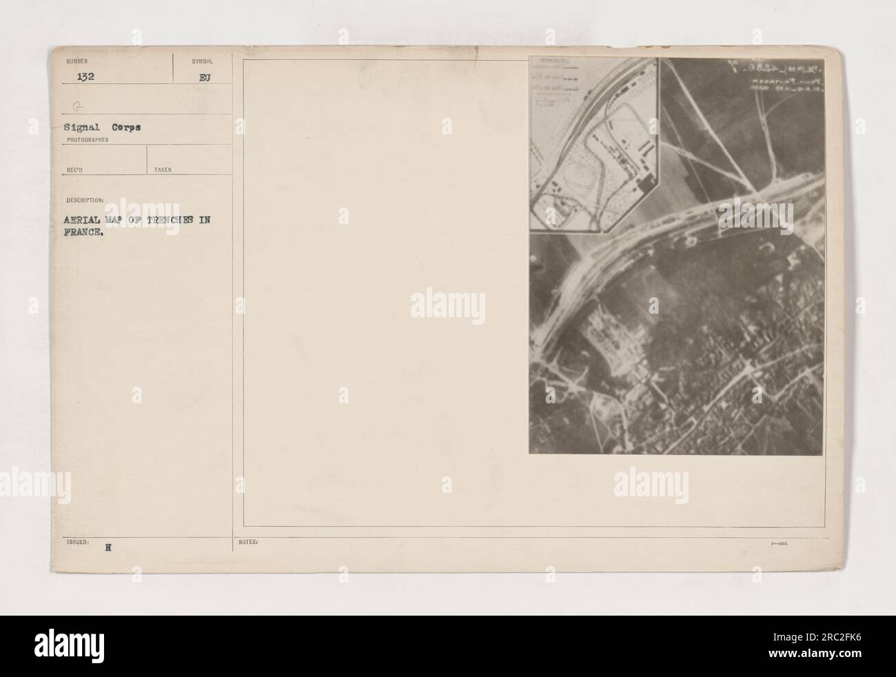 This photograph, labeled as 111-SC-132, shows an aerial map of trenches in France, specifically in Pont Faverger. It is a part of the Signal Corps collection and was taken by a photographer. The description mentions that it was taken during World War I and is an issued photograph. The symbol 'BU' is not further clarified. Stock Photohttps://www.alamy.com/image-license-details/?v=1https://www.alamy.com/this-photograph-labeled-as-111-sc-132-shows-an-aerial-map-of-trenches-in-france-specifically-in-pont-faverger-it-is-a-part-of-the-signal-corps-collection-and-was-taken-by-a-photographer-the-description-mentions-that-it-was-taken-during-world-war-i-and-is-an-issued-photograph-the-symbol-bu-is-not-further-clarified-image558163850.html
RM2RC2FK6–This photograph, labeled as 111-SC-132, shows an aerial map of trenches in France, specifically in Pont Faverger. It is a part of the Signal Corps collection and was taken by a photographer. The description mentions that it was taken during World War I and is an issued photograph. The symbol 'BU' is not further clarified.
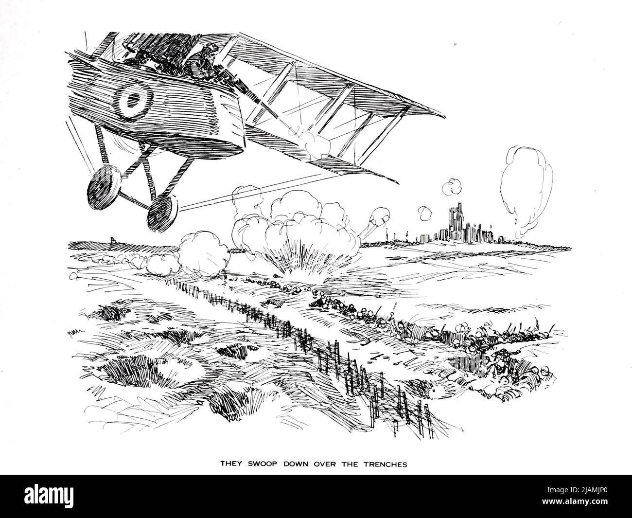 THEY SWOOP DOWN OVER THE TRENCHES From the ' Aviation book ' by Haywood Leslie Davis, Publication date 1918 Publisher New York, McLoughlin brothers, inc. Stock Photohttps://www.alamy.com/image-license-details/?v=1https://www.alamy.com/they-swoop-down-over-the-trenches-from-the-aviation-book-by-haywood-leslie-davis-publication-date-1918-publisher-new-york-mcloughlin-brothers-inc-image471280264.html
RF2JAMJP0–THEY SWOOP DOWN OVER THE TRENCHES From the ' Aviation book ' by Haywood Leslie Davis, Publication date 1918 Publisher New York, McLoughlin brothers, inc.
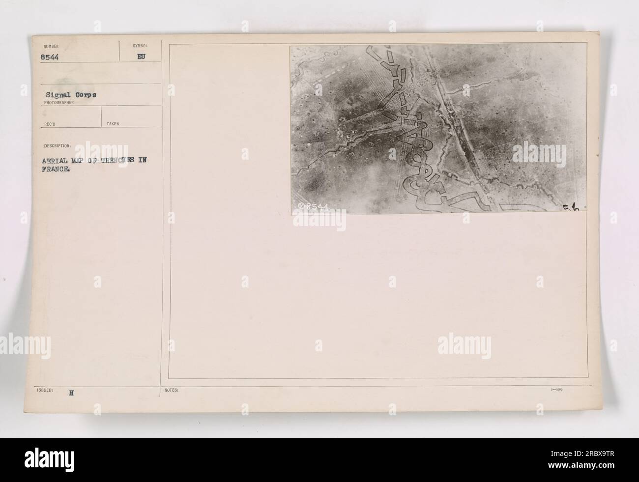 Aerial photograph showing trenches in France during World War I, taken by photographer H. Syrdol. It is a detailed aerial map of the trench system in France. This image was captured by the Signal Corps and is part of the collection numbered 111-SC-8544. Stock Photohttps://www.alamy.com/image-license-details/?v=1https://www.alamy.com/aerial-photograph-showing-trenches-in-france-during-world-war-i-taken-by-photographer-h-syrdol-it-is-a-detailed-aerial-map-of-the-trench-system-in-france-this-image-was-captured-by-the-signal-corps-and-is-part-of-the-collection-numbered-111-sc-8544-image558071495.html
RM2RBX9TR–Aerial photograph showing trenches in France during World War I, taken by photographer H. Syrdol. It is a detailed aerial map of the trench system in France. This image was captured by the Signal Corps and is part of the collection numbered 111-SC-8544.
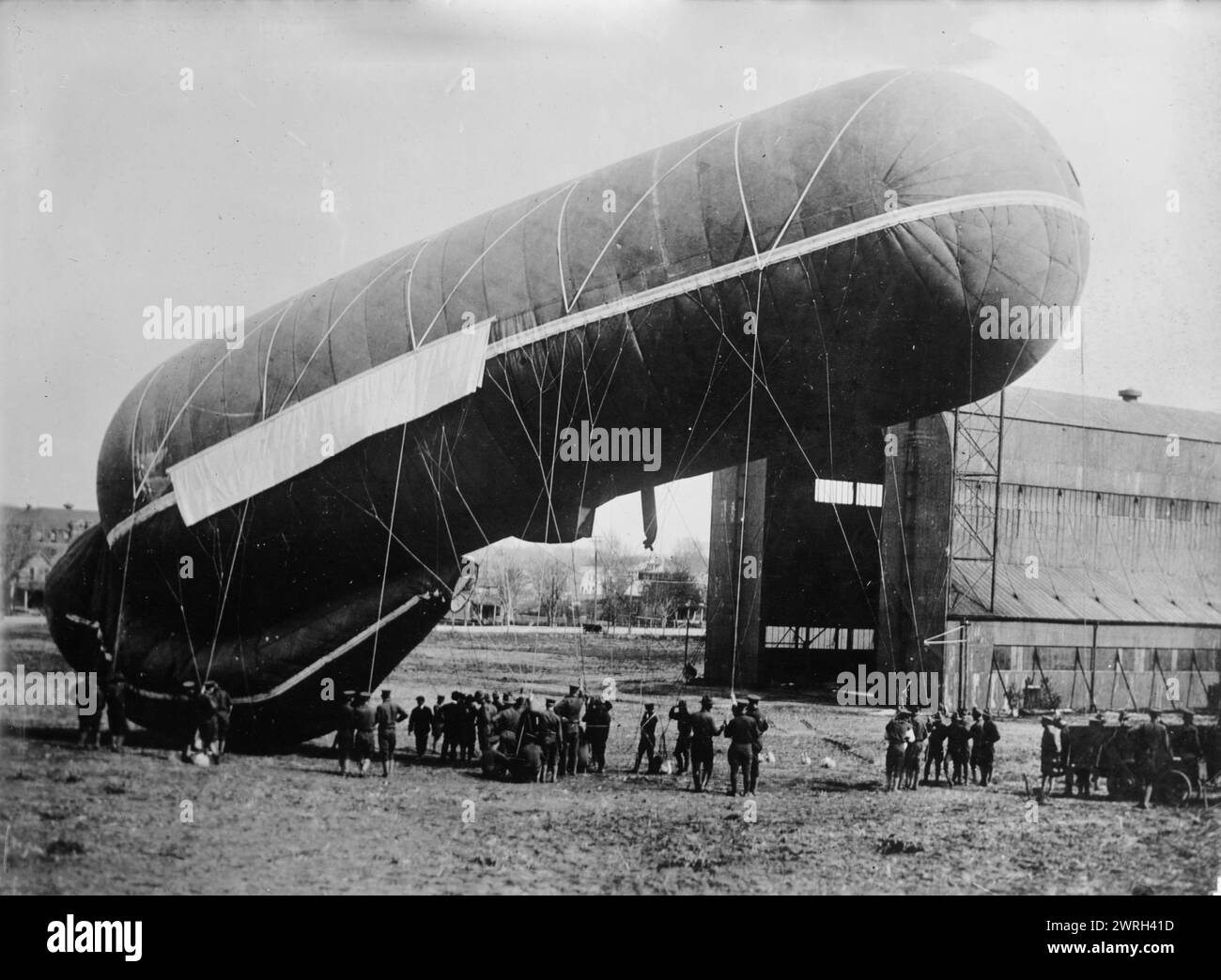 Observation balloon, U.S.A., 9 Dec 1917 (date created or published later). An observation balloon ready to be launched over German trenches in Europe in World War I. Stock Photohttps://www.alamy.com/image-license-details/?v=1https://www.alamy.com/observation-balloon-usa-9-dec-1917-date-created-or-published-later-an-observation-balloon-ready-to-be-launched-over-german-trenches-in-europe-in-world-war-i-image599665961.html
RM2WRH41D–Observation balloon, U.S.A., 9 Dec 1917 (date created or published later). An observation balloon ready to be launched over German trenches in Europe in World War I.
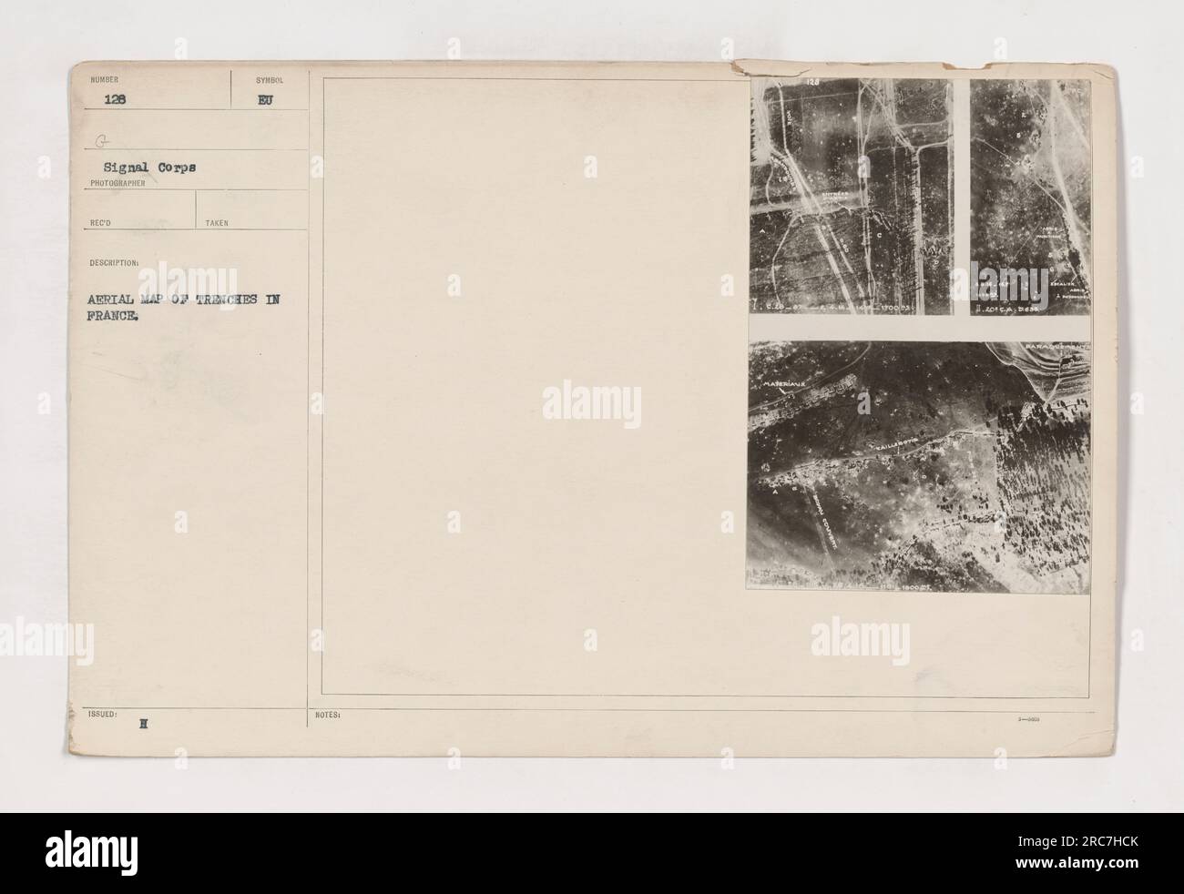 Aerial map showing the trench system in France during World War I. This map was taken and issued by the 128th G Signal Corps. It provides a detailed description of the trenches and includes handwritten notes on it. Stock Photohttps://www.alamy.com/image-license-details/?v=1https://www.alamy.com/aerial-map-showing-the-trench-system-in-france-during-world-war-i-this-map-was-taken-and-issued-by-the-128th-g-signal-corps-it-provides-a-detailed-description-of-the-trenches-and-includes-handwritten-notes-on-it-image558274995.html
RM2RC7HCK–Aerial map showing the trench system in France during World War I. This map was taken and issued by the 128th G Signal Corps. It provides a detailed description of the trenches and includes handwritten notes on it.
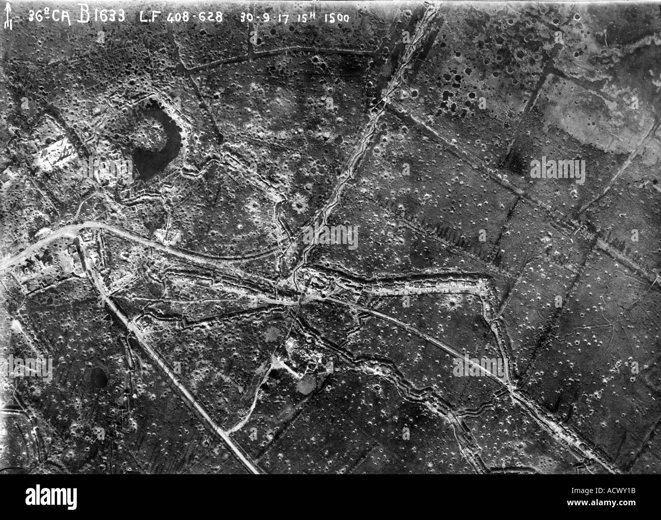 WWI Aerial view of area near Ypres on 30 September 1917 showing trenches roads ruined buildings and shell holes Stock Photohttps://www.alamy.com/image-license-details/?v=1https://www.alamy.com/wwi-aerial-view-of-area-near-ypres-on-30-september-1917-showing-trenches-image4323098.html
RMACWY1B–WWI Aerial view of area near Ypres on 30 September 1917 showing trenches roads ruined buildings and shell holes
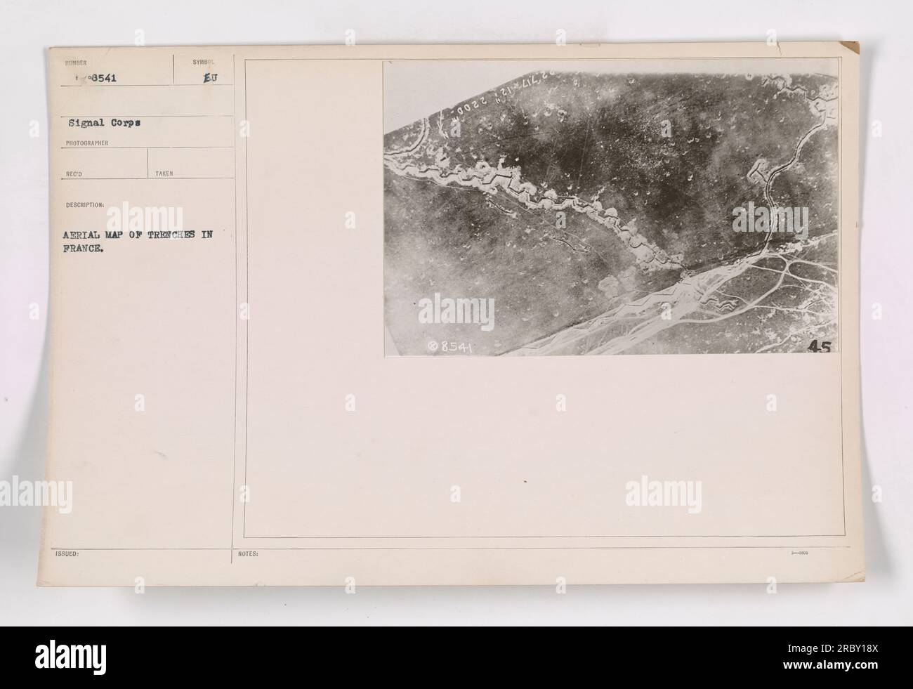 An aerial photograph showing a map of trenches in France during World War I. This image, taken by the Signal Corps, provides a bird's eye view of the intricate network of trenches used by the military. The photograph is labeled as '111-SC-8541' and has the description 'Aerial view of trenches in France.' The photographer is unknown. Stock Photohttps://www.alamy.com/image-license-details/?v=1https://www.alamy.com/an-aerial-photograph-showing-a-map-of-trenches-in-france-during-world-war-i-this-image-taken-by-the-signal-corps-provides-a-birds-eye-view-of-the-intricate-network-of-trenches-used-by-the-military-the-photograph-is-labeled-as-111-sc-8541-and-has-the-description-aerial-view-of-trenches-in-france-the-photographer-is-unknown-image558086730.html
RM2RBY18X–An aerial photograph showing a map of trenches in France during World War I. This image, taken by the Signal Corps, provides a bird's eye view of the intricate network of trenches used by the military. The photograph is labeled as '111-SC-8541' and has the description 'Aerial view of trenches in France.' The photographer is unknown.
 From the bird-man's point of view. Aeroplane pictures of the battle line by land and sea. Images from the First World War. The Graphic. London, August 14, 1915. Top photograph : 'The battle line in France : a peep through the clouds at the German trenches in the Champagne country.' Bottom photograph : 'The battle line in the Dardanelles: A view from mid-air of one the forts bombarded by the allied fleet.'. Source: Colindale,. Language: English. Stock Photohttps://www.alamy.com/image-license-details/?v=1https://www.alamy.com/from-the-bird-mans-point-of-view-aeroplane-pictures-of-the-battle-line-by-land-and-sea-images-from-the-first-world-war-the-graphic-london-august-14-1915-top-photograph-the-battle-line-in-france-a-peep-through-the-clouds-at-the-german-trenches-in-the-champagne-country-bottom-photograph-the-battle-line-in-the-dardanelles-a-view-from-mid-air-of-one-the-forts-bombarded-by-the-allied-fleet-source-colindale-language-english-image226794914.html
RMR4YB6A–From the bird-man's point of view. Aeroplane pictures of the battle line by land and sea. Images from the First World War. The Graphic. London, August 14, 1915. Top photograph : 'The battle line in France : a peep through the clouds at the German trenches in the Champagne country.' Bottom photograph : 'The battle line in the Dardanelles: A view from mid-air of one the forts bombarded by the allied fleet.'. Source: Colindale,. Language: English.
 Oblique aerial view of the Neuve Eglise area of West Flanders, Belgium, on 21 August 1918, an area of German front line trenches. German soldiers are visible in the foreground trench. Stock Photohttps://www.alamy.com/image-license-details/?v=1https://www.alamy.com/oblique-aerial-view-of-the-neuve-eglise-area-of-west-flanders-belgium-on-21-august-1918-an-area-of-german-front-line-trenches-german-soldiers-are-visible-in-the-foreground-trench-image504821173.html
RM2M98GFH–Oblique aerial view of the Neuve Eglise area of West Flanders, Belgium, on 21 August 1918, an area of German front line trenches. German soldiers are visible in the foreground trench.
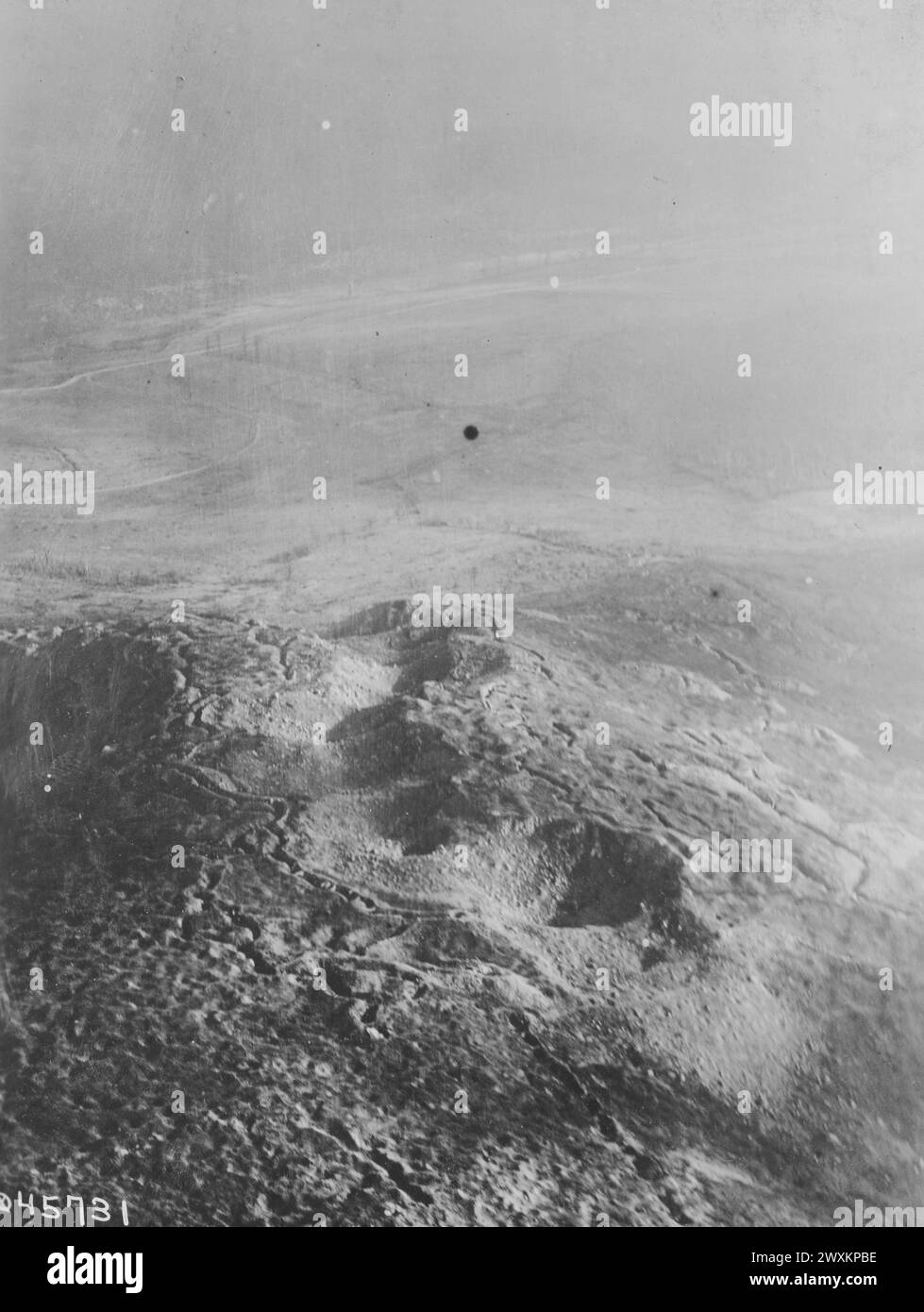 Aerial view of trenches in France during World War I ca. 1916-1918 Stock Photohttps://www.alamy.com/image-license-details/?v=1https://www.alamy.com/aerial-view-of-trenches-in-france-during-world-war-i-ca-1916-1918-image601568226.html
RM2WXKPBE–Aerial view of trenches in France during World War I ca. 1916-1918
 France Pas de Calais Neuville Saint Vaast Vimy Memorial man walking in the reconstructed trenches on the Canadian side (aerial Stock Photohttps://www.alamy.com/image-license-details/?v=1https://www.alamy.com/stock-photo-france-pas-de-calais-neuville-saint-vaast-vimy-memorial-man-walking-70396571.html
RME2ERF7–France Pas de Calais Neuville Saint Vaast Vimy Memorial man walking in the reconstructed trenches on the Canadian side (aerial
 Aerial photograph of trenches in France ca. 1916-1918 Stock Photohttps://www.alamy.com/image-license-details/?v=1https://www.alamy.com/aerial-photograph-of-trenches-in-france-ca-1916-1918-image259731675.html
RMW2FPB7–Aerial photograph of trenches in France ca. 1916-1918
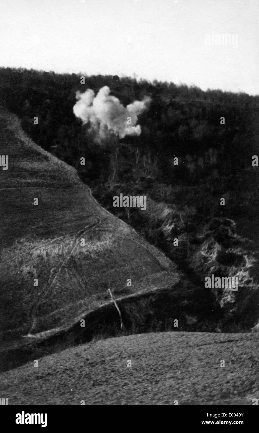 Detonating mine at the Eastern front, 1915 Stock Photohttps://www.alamy.com/image-license-details/?v=1https://www.alamy.com/detonating-mine-at-the-eastern-front-1915-image68844887.html
RME0049Y–Detonating mine at the Eastern front, 1915
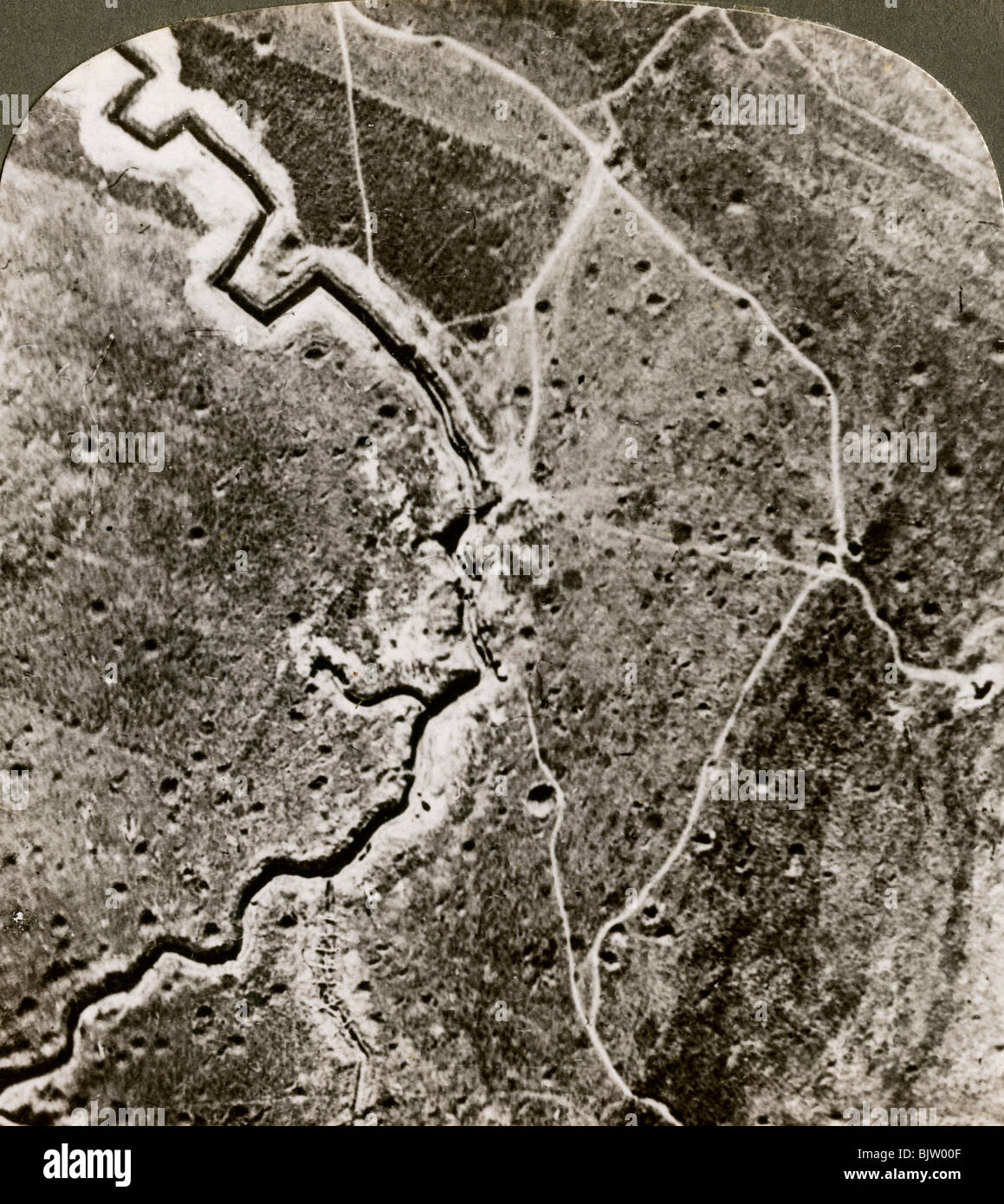 Aerial photograph of the German lines, World War I, 1914-1918.Artist: Realistic Travels Publishers Stock Photohttps://www.alamy.com/image-license-details/?v=1https://www.alamy.com/stock-photo-aerial-photograph-of-the-german-lines-world-war-i-1914-1918artist-28822991.html
RMBJW00F–Aerial photograph of the German lines, World War I, 1914-1918.Artist: Realistic Travels Publishers
 American aircrafts at the Western Front, 1918 Stock Photohttps://www.alamy.com/image-license-details/?v=1https://www.alamy.com/stock-photo-american-aircrafts-at-the-western-front-1918-37035294.html
RMC472W2–American aircrafts at the Western Front, 1918
 Aeroplane supplying ammunition to the British front line, World War I, 1914-1918 (1926). Artist: Joseph Simpson Stock Photohttps://www.alamy.com/image-license-details/?v=1https://www.alamy.com/stock-photo-aeroplane-supplying-ammunition-to-the-british-front-line-world-war-11059602.html
RMA4J64K–Aeroplane supplying ammunition to the British front line, World War I, 1914-1918 (1926). Artist: Joseph Simpson
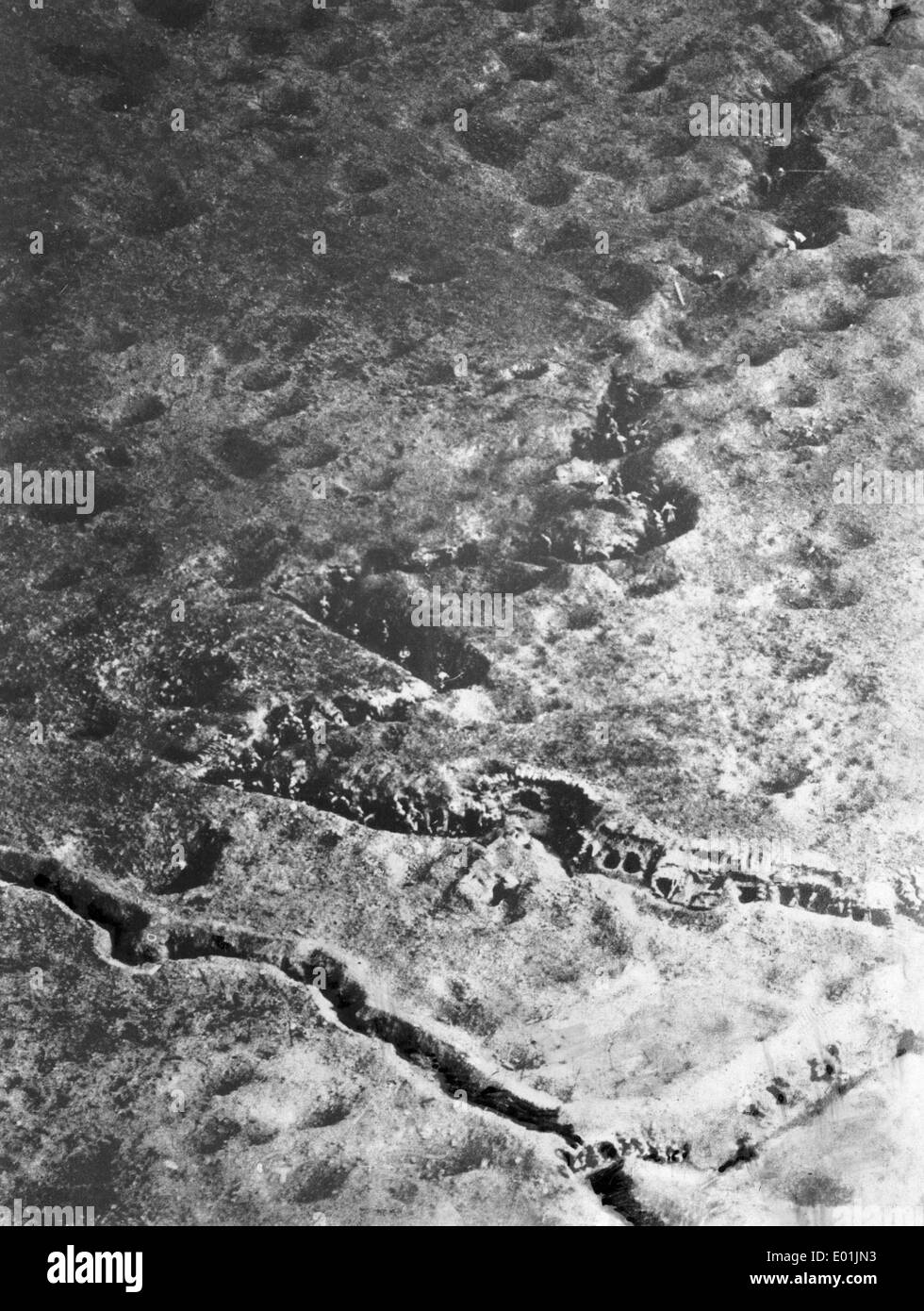 Battlefield at the Somme, 1916 Stock Photohttps://www.alamy.com/image-license-details/?v=1https://www.alamy.com/battlefield-at-the-somme-1916-image68878127.html
RME01JN3–Battlefield at the Somme, 1916
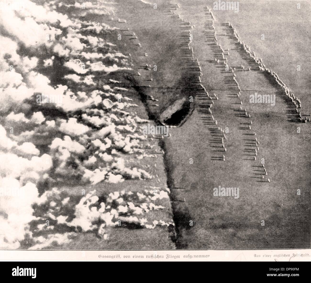 From the Berliner Illustrirte Zeitung in 1916, the caption reading: 'Gas attack, photographed out of a Russian aircraft. Published in a British magazine.' Fotoarchiv für Zeitgeschichte Stock Photohttps://www.alamy.com/image-license-details/?v=1https://www.alamy.com/from-the-berliner-illustrirte-zeitung-in-1916-the-caption-reading-image65351544.html
RMDP90FM–From the Berliner Illustrirte Zeitung in 1916, the caption reading: 'Gas attack, photographed out of a Russian aircraft. Published in a British magazine.' Fotoarchiv für Zeitgeschichte
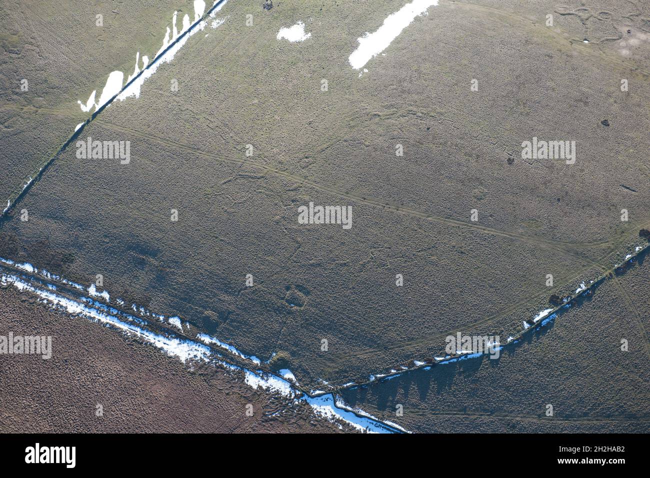 Practice trenches, Redmires First World War Training Area, Hallam Moors, Sheffield, 2015. Stock Photohttps://www.alamy.com/image-license-details/?v=1https://www.alamy.com/practice-trenches-redmires-first-world-war-training-area-hallam-moors-sheffield-2015-image449080214.html
RM2H2HAB2–Practice trenches, Redmires First World War Training Area, Hallam Moors, Sheffield, 2015.
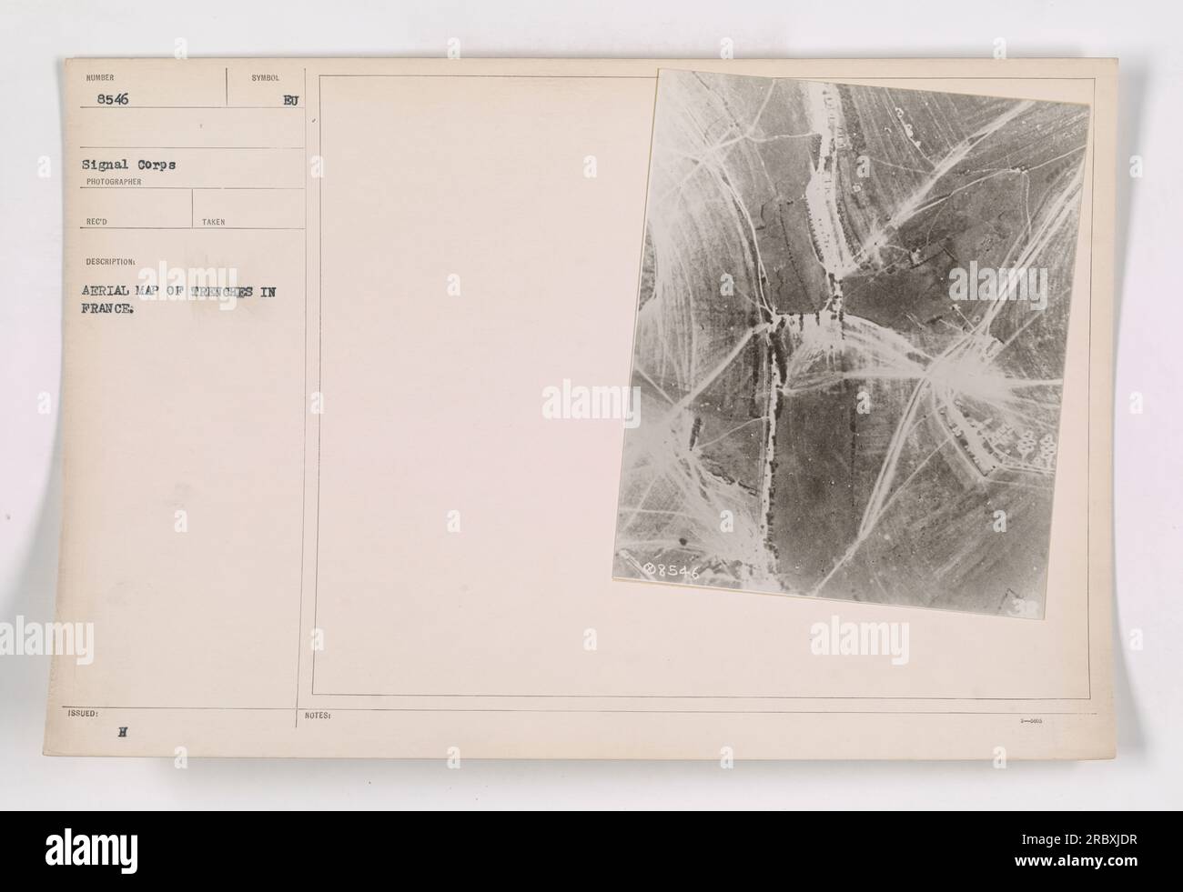 Aerial photograph taken by H.J. Arrial, signal corps photographer, depicting a map of trenches in France during World War I. The image, numbered 8546, highlights the complex network of trenches that were used by American and allied forces during the war. (50 words) Stock Photohttps://www.alamy.com/image-license-details/?v=1https://www.alamy.com/aerial-photograph-taken-by-hj-arrial-signal-corps-photographer-depicting-a-map-of-trenches-in-france-during-world-war-i-the-image-numbered-8546-highlights-the-complex-network-of-trenches-that-were-used-by-american-and-allied-forces-during-the-war-50-words-image558078243.html
RM2RBXJDR–Aerial photograph taken by H.J. Arrial, signal corps photographer, depicting a map of trenches in France during World War I. The image, numbered 8546, highlights the complex network of trenches that were used by American and allied forces during the war. (50 words)
!['A Royal Flying Corps aeroplane flying over enemy trenches in France'. The Work and Training of the Royal Flying Corps. [With illustrations.]. London : Illustrated London News, [1918]. Source: 9081.h.13 page 43. Stock Photo 'A Royal Flying Corps aeroplane flying over enemy trenches in France'. The Work and Training of the Royal Flying Corps. [With illustrations.]. London : Illustrated London News, [1918]. Source: 9081.h.13 page 43. Stock Photo](https://c8.alamy.com/comp/R56MG5/a-royal-flying-corps-aeroplane-flying-over-enemy-trenches-in-france-the-work-and-training-of-the-royal-flying-corps-with-illustrations-london-illustrated-london-news-1918-source-9081h13-page-43-R56MG5.jpg) 'A Royal Flying Corps aeroplane flying over enemy trenches in France'. The Work and Training of the Royal Flying Corps. [With illustrations.]. London : Illustrated London News, [1918]. Source: 9081.h.13 page 43. Stock Photohttps://www.alamy.com/image-license-details/?v=1https://www.alamy.com/a-royal-flying-corps-aeroplane-flying-over-enemy-trenches-in-france-the-work-and-training-of-the-royal-flying-corps-with-illustrations-london-illustrated-london-news-1918-source-9081h13-page-43-image226955909.html
'A Royal Flying Corps aeroplane flying over enemy trenches in France'. The Work and Training of the Royal Flying Corps. [With illustrations.]. London : Illustrated London News, [1918]. Source: 9081.h.13 page 43. Stock Photohttps://www.alamy.com/image-license-details/?v=1https://www.alamy.com/a-royal-flying-corps-aeroplane-flying-over-enemy-trenches-in-france-the-work-and-training-of-the-royal-flying-corps-with-illustrations-london-illustrated-london-news-1918-source-9081h13-page-43-image226955909.htmlRMR56MG5–'A Royal Flying Corps aeroplane flying over enemy trenches in France'. The Work and Training of the Royal Flying Corps. [With illustrations.]. London : Illustrated London News, [1918]. Source: 9081.h.13 page 43.
 Caption: 'Aerial photograph showing paths and trenches in a German-occupied sector during World War I. The white lines indicate footpaths, used for movement during the day, while the darker lines indicate communicating trenches and roads. These paths were crucial for the transport of supplies and reinforcements, and were important targets for artillery fire.' Stock Photohttps://www.alamy.com/image-license-details/?v=1https://www.alamy.com/caption-aerial-photograph-showing-paths-and-trenches-in-a-german-occupied-sector-during-world-war-i-the-white-lines-indicate-footpaths-used-for-movement-during-the-day-while-the-darker-lines-indicate-communicating-trenches-and-roads-these-paths-were-crucial-for-the-transport-of-supplies-and-reinforcements-and-were-important-targets-for-artillery-fire-image558251985.html
RM2RC6G2W–Caption: 'Aerial photograph showing paths and trenches in a German-occupied sector during World War I. The white lines indicate footpaths, used for movement during the day, while the darker lines indicate communicating trenches and roads. These paths were crucial for the transport of supplies and reinforcements, and were important targets for artillery fire.'
 Oblique aerial view of a shelled area between Bailleul, Nord, Northern France, and Neuve Eglise, West Flanders, Belgium, on 21 August 1918. It was an area of German front line trenches. Stock Photohttps://www.alamy.com/image-license-details/?v=1https://www.alamy.com/oblique-aerial-view-of-a-shelled-area-between-bailleul-nord-northern-france-and-neuve-eglise-west-flanders-belgium-on-21-august-1918-it-was-an-area-of-german-front-line-trenches-image504821165.html
RM2M98GF9–Oblique aerial view of a shelled area between Bailleul, Nord, Northern France, and Neuve Eglise, West Flanders, Belgium, on 21 August 1918. It was an area of German front line trenches.
 This photograph shows an aerial view of trenches in France during World War I. It was captured by the Signal Corps and issued by the Bureau of Aerial Maps. The image provides a detailed insight into the layout and organization of the trenches in the war-stricken region. Stock Photohttps://www.alamy.com/image-license-details/?v=1https://www.alamy.com/this-photograph-shows-an-aerial-view-of-trenches-in-france-during-world-war-i-it-was-captured-by-the-signal-corps-and-issued-by-the-bureau-of-aerial-maps-the-image-provides-a-detailed-insight-into-the-layout-and-organization-of-the-trenches-in-the-war-stricken-region-image558065900.html
RM2RBX2N0–This photograph shows an aerial view of trenches in France during World War I. It was captured by the Signal Corps and issued by the Bureau of Aerial Maps. The image provides a detailed insight into the layout and organization of the trenches in the war-stricken region.
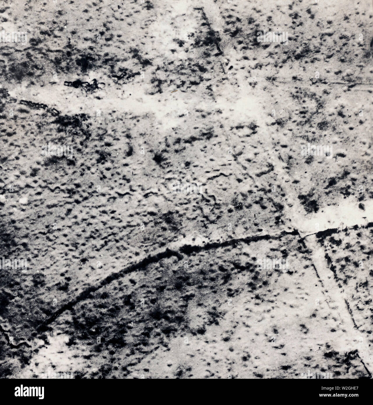 Aerial map of trenches in France ca. 1916-1918 Stock Photohttps://www.alamy.com/image-license-details/?v=1https://www.alamy.com/aerial-map-of-trenches-in-france-ca-1916-1918-image259749791.html
RMW2GHE7–Aerial map of trenches in France ca. 1916-1918
 Aerial photograph showing French trails at Ferme le Priez during World War I. The photograph notes the importance of the plateau for military actions, the sensitivity of the nearby port, and frequent use of the plate technique. It also mentions the presence of trenches, temporary shelters, and battery placements in the area. Stock Photohttps://www.alamy.com/image-license-details/?v=1https://www.alamy.com/aerial-photograph-showing-french-trails-at-ferme-le-priez-during-world-war-i-the-photograph-notes-the-importance-of-the-plateau-for-military-actions-the-sensitivity-of-the-nearby-port-and-frequent-use-of-the-plate-technique-it-also-mentions-the-presence-of-trenches-temporary-shelters-and-battery-placements-in-the-area-image558452626.html
RM2RCFM0J–Aerial photograph showing French trails at Ferme le Priez during World War I. The photograph notes the importance of the plateau for military actions, the sensitivity of the nearby port, and frequent use of the plate technique. It also mentions the presence of trenches, temporary shelters, and battery placements in the area.
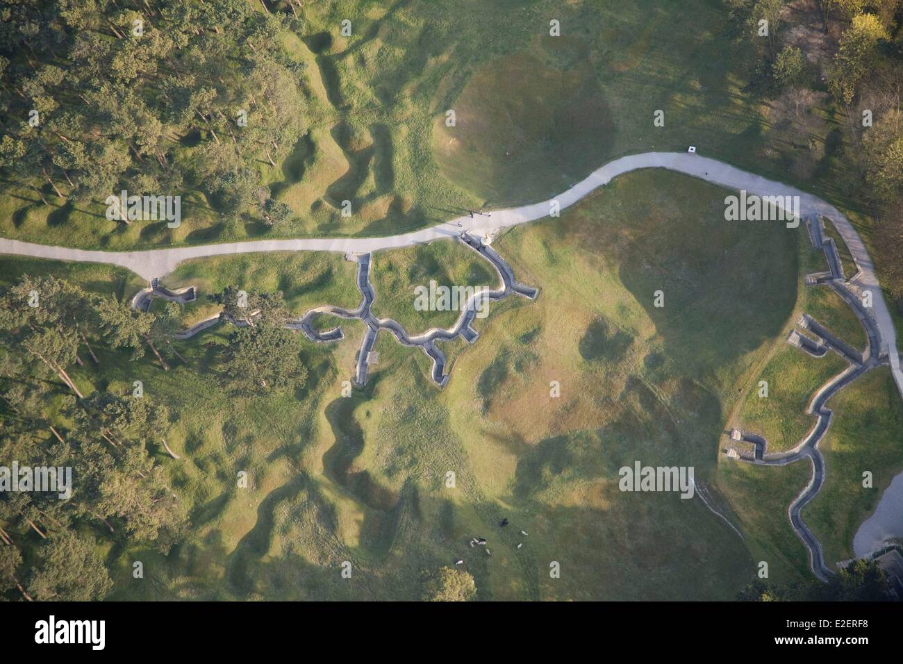 France Pas de Calais Neuville Saint Vaast Vimy Memorial man walking in the reconstructed trenches on the Canadian side (aerial Stock Photohttps://www.alamy.com/image-license-details/?v=1https://www.alamy.com/stock-photo-france-pas-de-calais-neuville-saint-vaast-vimy-memorial-man-walking-70396572.html
RME2ERF8–France Pas de Calais Neuville Saint Vaast Vimy Memorial man walking in the reconstructed trenches on the Canadian side (aerial
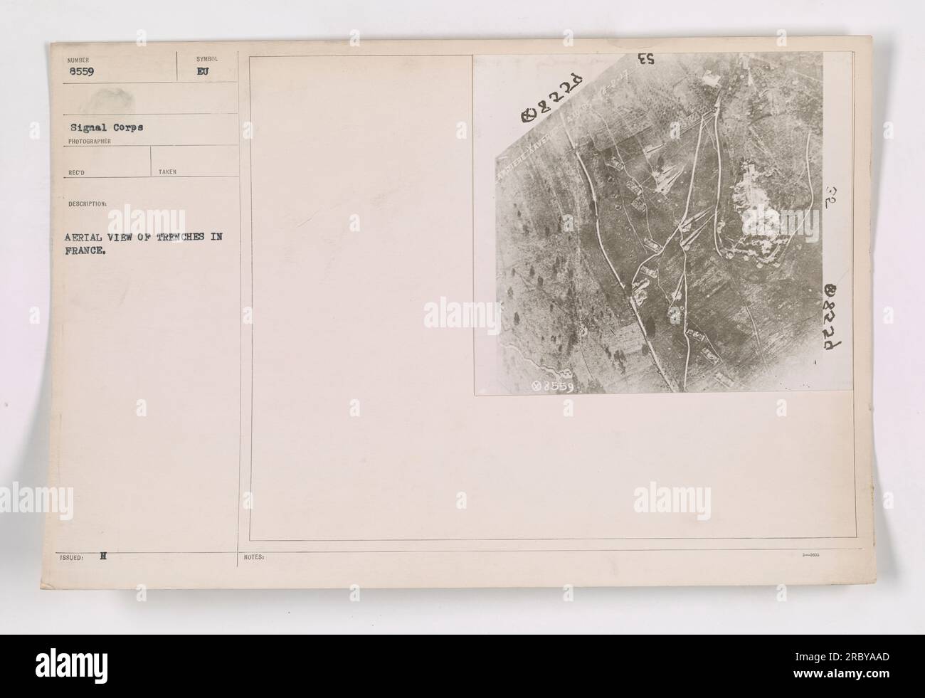 Aerial view of trenches in France during World War I, captured by Signal Corps Photographer Rood. The image is numbered 8559 and is part of the collection titled 'Photographs of American Military Activities during World War I.' The map provides a detailed layout and arrangement of the trenches in France. Stock Photohttps://www.alamy.com/image-license-details/?v=1https://www.alamy.com/aerial-view-of-trenches-in-france-during-world-war-i-captured-by-signal-corps-photographer-rood-the-image-is-numbered-8559-and-is-part-of-the-collection-titled-photographs-of-american-military-activities-during-world-war-i-the-map-provides-a-detailed-layout-and-arrangement-of-the-trenches-in-france-image558093829.html
RM2RBYAAD–Aerial view of trenches in France during World War I, captured by Signal Corps Photographer Rood. The image is numbered 8559 and is part of the collection titled 'Photographs of American Military Activities during World War I.' The map provides a detailed layout and arrangement of the trenches in France.
 The Trench Presser by Heath Robinson Stock Photohttps://www.alamy.com/image-license-details/?v=1https://www.alamy.com/stock-photo-the-trench-presser-by-heath-robinson-105339734.html
RMG3AHWA–The Trench Presser by Heath Robinson
 Aerial view of the trench system in Bois Guillaume during World War I. This photograph, numbered 1636 and taken in 1918, showcases the complex network of trenches that were used by the military. The image was captured by a photographer from the Signal Corps and was registered on March 10, 1921. Stock Photohttps://www.alamy.com/image-license-details/?v=1https://www.alamy.com/aerial-view-of-the-trench-system-in-bois-guillaume-during-world-war-i-this-photograph-numbered-1636-and-taken-in-1918-showcases-the-complex-network-of-trenches-that-were-used-by-the-military-the-image-was-captured-by-a-photographer-from-the-signal-corps-and-was-registered-on-march-10-1921-image558336372.html
RM2RCABMM–Aerial view of the trench system in Bois Guillaume during World War I. This photograph, numbered 1636 and taken in 1918, showcases the complex network of trenches that were used by the military. The image was captured by a photographer from the Signal Corps and was registered on March 10, 1921.
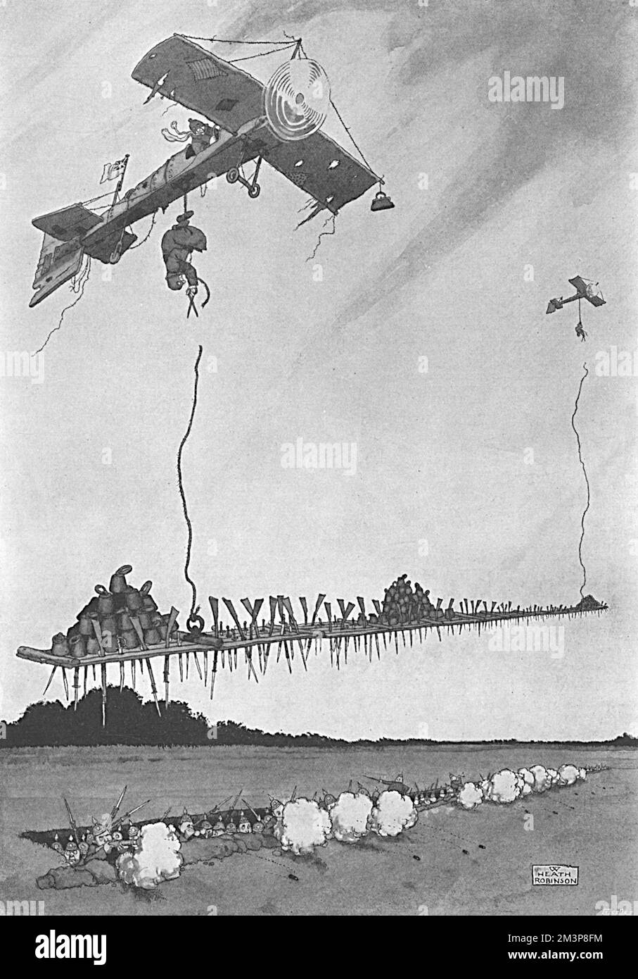 Patent Applied For, Heath Robinson WW1 cartoon Stock Photohttps://www.alamy.com/image-license-details/?v=1https://www.alamy.com/patent-applied-for-heath-robinson-ww1-cartoon-image501434296.html
RM2M3P8FM–Patent Applied For, Heath Robinson WW1 cartoon
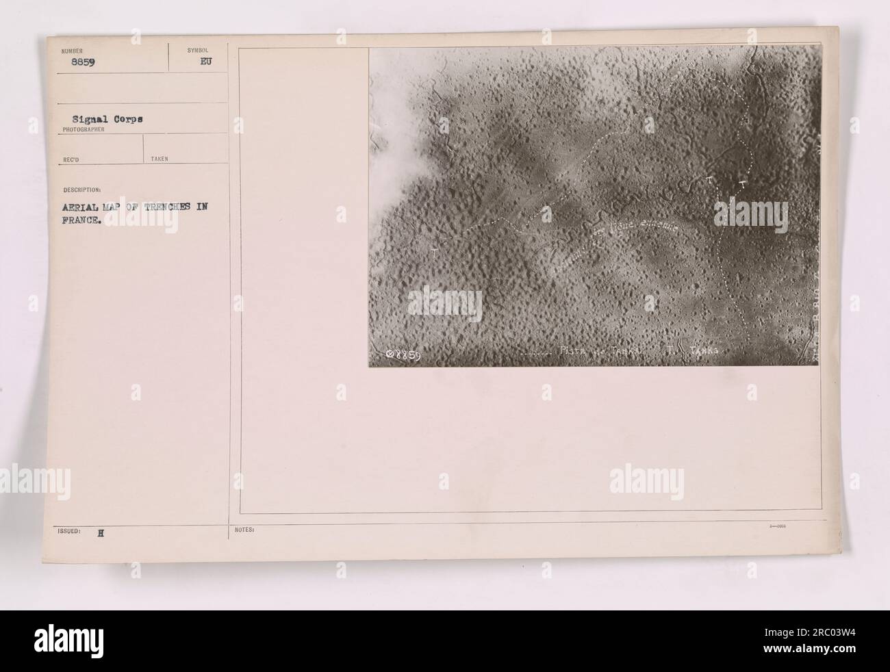 Aerial map displaying the intricate network of trenches in France during World War One. The map, labeled NIMEN 8859, was taken by the Signal Corps and showcases the extensive trench system. This map is an essential tool for understanding the challenging conditions faced by soldiers on the frontlines. Stock Photohttps://www.alamy.com/image-license-details/?v=1https://www.alamy.com/aerial-map-displaying-the-intricate-network-of-trenches-in-france-during-world-war-one-the-map-labeled-nimen-8859-was-taken-by-the-signal-corps-and-showcases-the-extensive-trench-system-this-map-is-an-essential-tool-for-understanding-the-challenging-conditions-faced-by-soldiers-on-the-frontlines-image558110704.html
RM2RC03W4–Aerial map displaying the intricate network of trenches in France during World War One. The map, labeled NIMEN 8859, was taken by the Signal Corps and showcases the extensive trench system. This map is an essential tool for understanding the challenging conditions faced by soldiers on the frontlines.
 Air cavalry, attacking the infantry, 1918, (1926). Artist: Maurice Busset Stock Photohttps://www.alamy.com/image-license-details/?v=1https://www.alamy.com/stock-photo-air-cavalry-attacking-the-infantry-1918-1926-artist-maurice-busset-11059604.html
RMA4J64N–Air cavalry, attacking the infantry, 1918, (1926). Artist: Maurice Busset
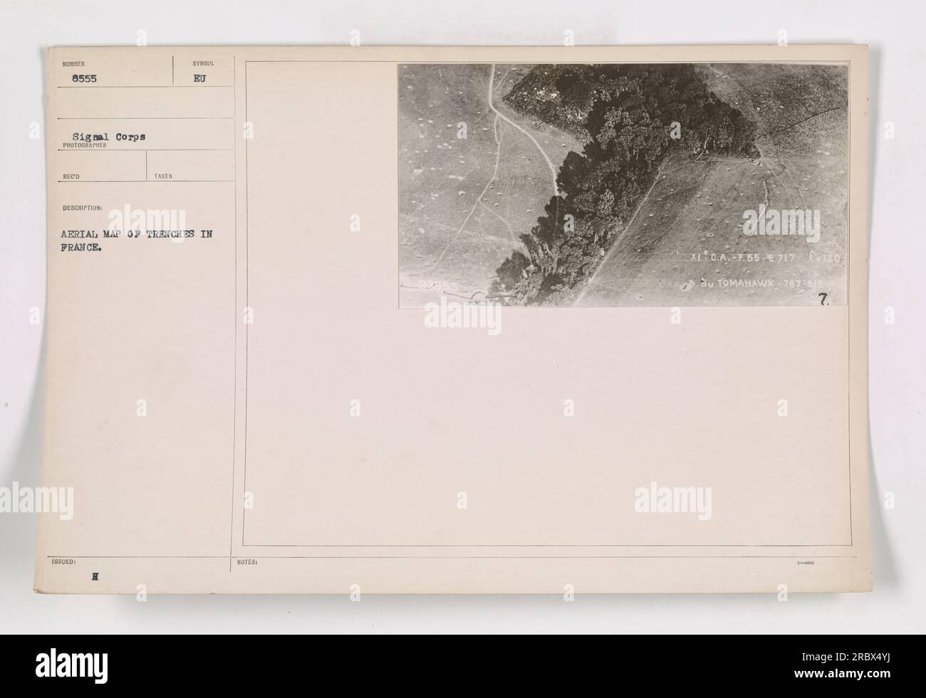 Aerial map showing trenches in France, taken by the Signal Corps during World War One. The map is labeled HOTES XI C.A.-2.55 €717 E-120 du TOMAHAWK-787-519-7. Stock Photohttps://www.alamy.com/image-license-details/?v=1https://www.alamy.com/aerial-map-showing-trenches-in-france-taken-by-the-signal-corps-during-world-war-one-the-map-is-labeled-hotes-xi-ca-255-717-e-120-du-tomahawk-787-519-7-image558067654.html
RM2RBX4YJ–Aerial map showing trenches in France, taken by the Signal Corps during World War One. The map is labeled HOTES XI C.A.-2.55 €717 E-120 du TOMAHAWK-787-519-7.
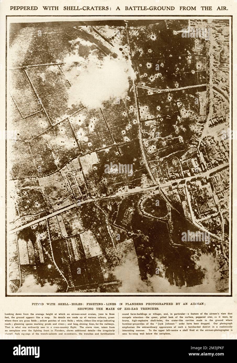 Battle-ground from the air 1915 Stock Photohttps://www.alamy.com/image-license-details/?v=1https://www.alamy.com/battle-ground-from-the-air-1915-image501357571.html
RM2M3JPKF–Battle-ground from the air 1915
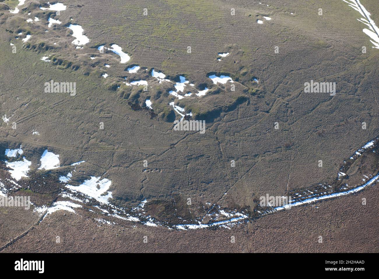 Practice trenches, Redmires First World War Training Area, Hallam Moors, Sheffield, 2015. Stock Photohttps://www.alamy.com/image-license-details/?v=1https://www.alamy.com/practice-trenches-redmires-first-world-war-training-area-hallam-moors-sheffield-2015-image449080197.html
RM2H2HAAD–Practice trenches, Redmires First World War Training Area, Hallam Moors, Sheffield, 2015.
 'How The Weather Hindered the Advance', (1919). Creator: Unknown. Stock Photohttps://www.alamy.com/image-license-details/?v=1https://www.alamy.com/how-the-weather-hindered-the-advance-1919-creator-unknown-image246382380.html
RMT8RK6M–'How The Weather Hindered the Advance', (1919). Creator: Unknown.
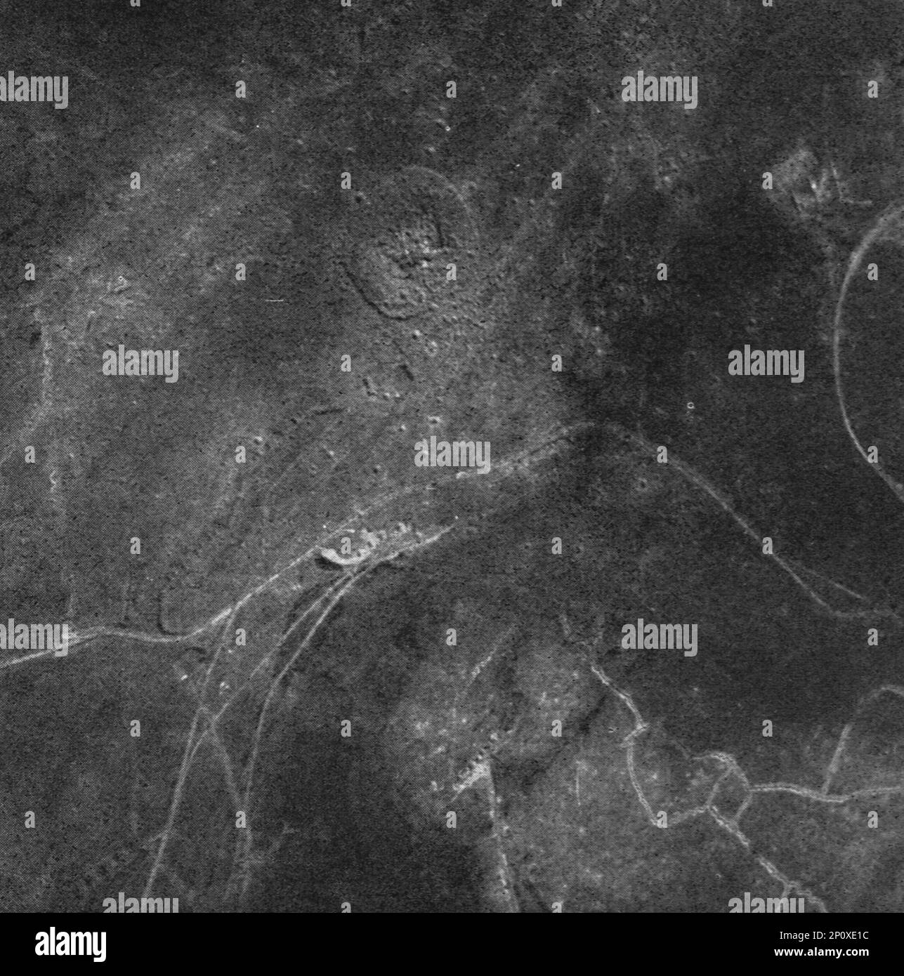 'Thiaumont; L'ouvrage de Thiaumont photographie le 31 mars', 1916. From "Collection de la Guerre IV. L'Illustration Tome CXLVIII. La Guerre Juillet, Aout, Septembre, Octobre, Novembre, Decembre 1916". Stock Photohttps://www.alamy.com/image-license-details/?v=1https://www.alamy.com/thiaumont-louvrage-de-thiaumont-photographie-le-31-mars-1916-from-quotcollection-de-la-guerre-iv-lillustration-tome-cxlviii-la-guerre-juillet-aout-septembre-octobre-novembre-decembre-1916quot-image534103176.html
RM2P0XE1C–'Thiaumont; L'ouvrage de Thiaumont photographie le 31 mars', 1916. From "Collection de la Guerre IV. L'Illustration Tome CXLVIII. La Guerre Juillet, Aout, Septembre, Octobre, Novembre, Decembre 1916".
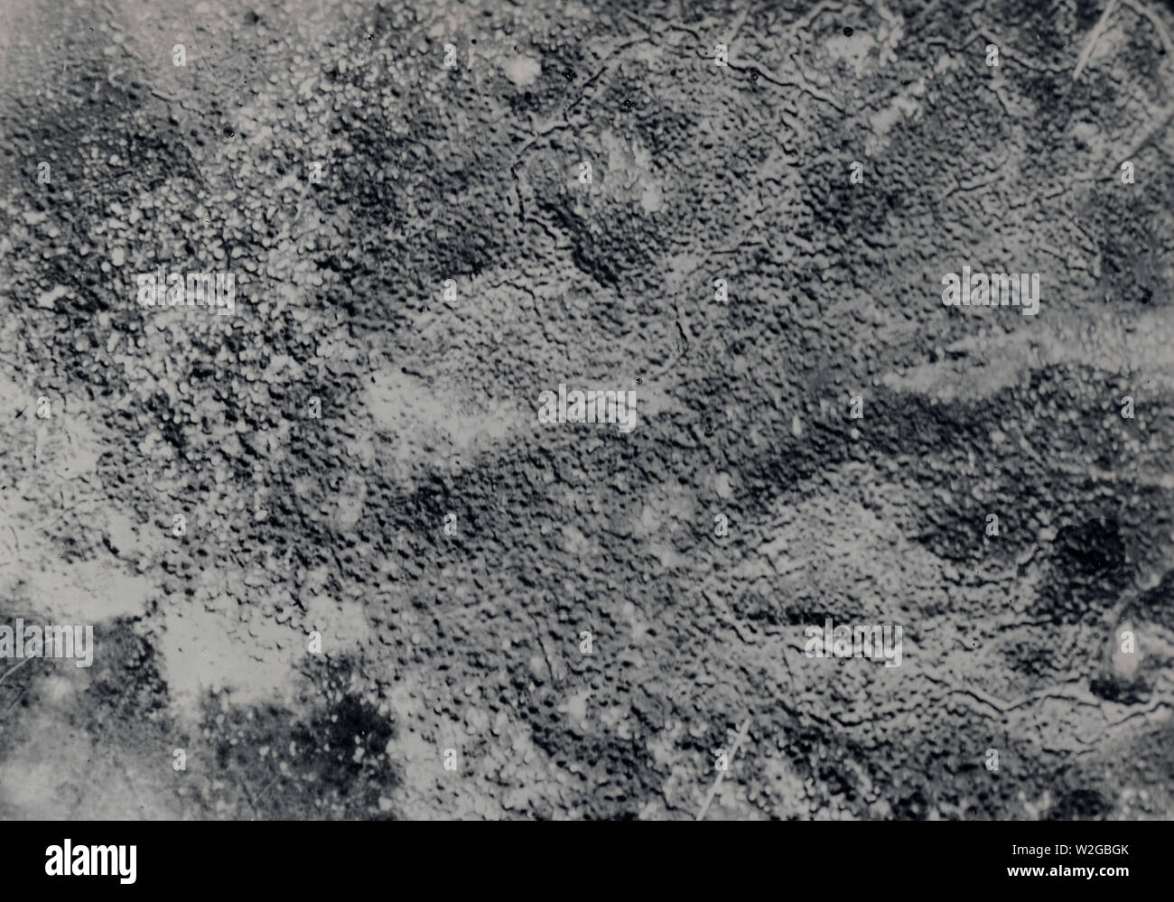 Aerial map of trenches in France ca. 1916-1918 Stock Photohttps://www.alamy.com/image-license-details/?v=1https://www.alamy.com/aerial-map-of-trenches-in-france-ca-1916-1918-image259745155.html
RMW2GBGK–Aerial map of trenches in France ca. 1916-1918
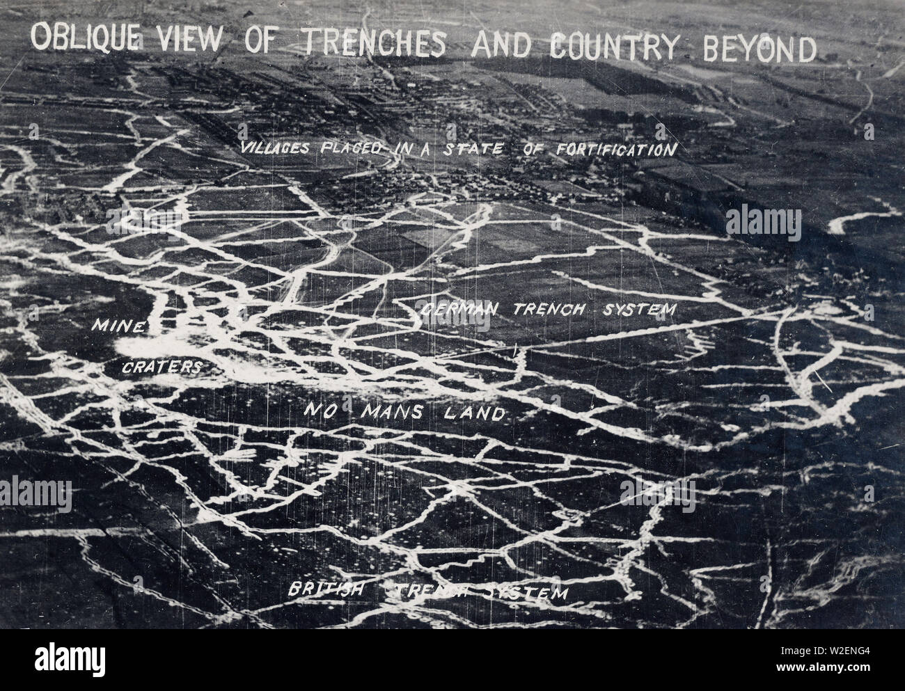 Signal Corps aerial photo showing WW I trench system ca. 1917-1918 Stock Photohttps://www.alamy.com/image-license-details/?v=1https://www.alamy.com/signal-corps-aerial-photo-showing-ww-i-trench-system-ca-1917-1918-image259709076.html
RMW2ENG4–Signal Corps aerial photo showing WW I trench system ca. 1917-1918
 France Pas de Calais Neuville Saint Vaast Vimy Memorial man walking in the reconstructed trenches on the Canadian side (aerial Stock Photohttps://www.alamy.com/image-license-details/?v=1https://www.alamy.com/stock-photo-france-pas-de-calais-neuville-saint-vaast-vimy-memorial-man-walking-70396570.html
RME2ERF6–France Pas de Calais Neuville Saint Vaast Vimy Memorial man walking in the reconstructed trenches on the Canadian side (aerial
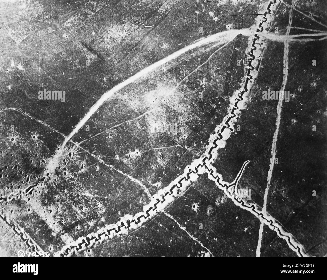 Aerial photograph of an unidentified trench system during WW I ca. 1918 Stock Photohttps://www.alamy.com/image-license-details/?v=1https://www.alamy.com/aerial-photograph-of-an-unidentified-trench-system-during-ww-i-ca-1918-image259751641.html
RMW2GKT9–Aerial photograph of an unidentified trench system during WW I ca. 1918
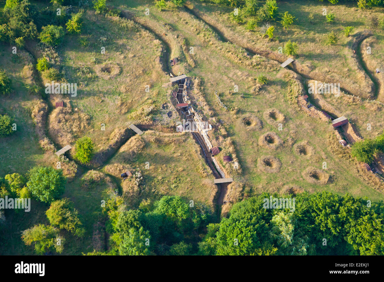 France, Pas de Calais, Ablain Saint Nazaire, old trenches on Colinne notre-dame-de-Lorette (aerial view) Stock Photohttps://www.alamy.com/image-license-details/?v=1https://www.alamy.com/stock-photo-france-pas-de-calais-ablain-saint-nazaire-old-trenches-on-colinne-70393513.html
RME2EKJ1–France, Pas de Calais, Ablain Saint Nazaire, old trenches on Colinne notre-dame-de-Lorette (aerial view)
 Aerial photograph showing trenches in France during World War One. The trenches form a strategic map of the area. The photograph was issued by the Signal Corps and is part of a series of photographs documenting American military activities during the war. The German symbol 'H' and the code '@8532' are included in the notes. Stock Photohttps://www.alamy.com/image-license-details/?v=1https://www.alamy.com/aerial-photograph-showing-trenches-in-france-during-world-war-one-the-trenches-form-a-strategic-map-of-the-area-the-photograph-was-issued-by-the-signal-corps-and-is-part-of-a-series-of-photographs-documenting-american-military-activities-during-the-war-the-german-symbol-h-and-the-code-@8532-are-included-in-the-notes-image558073106.html
RM2RBXBXA–Aerial photograph showing trenches in France during World War One. The trenches form a strategic map of the area. The photograph was issued by the Signal Corps and is part of a series of photographs documenting American military activities during the war. The German symbol 'H' and the code '@8532' are included in the notes.
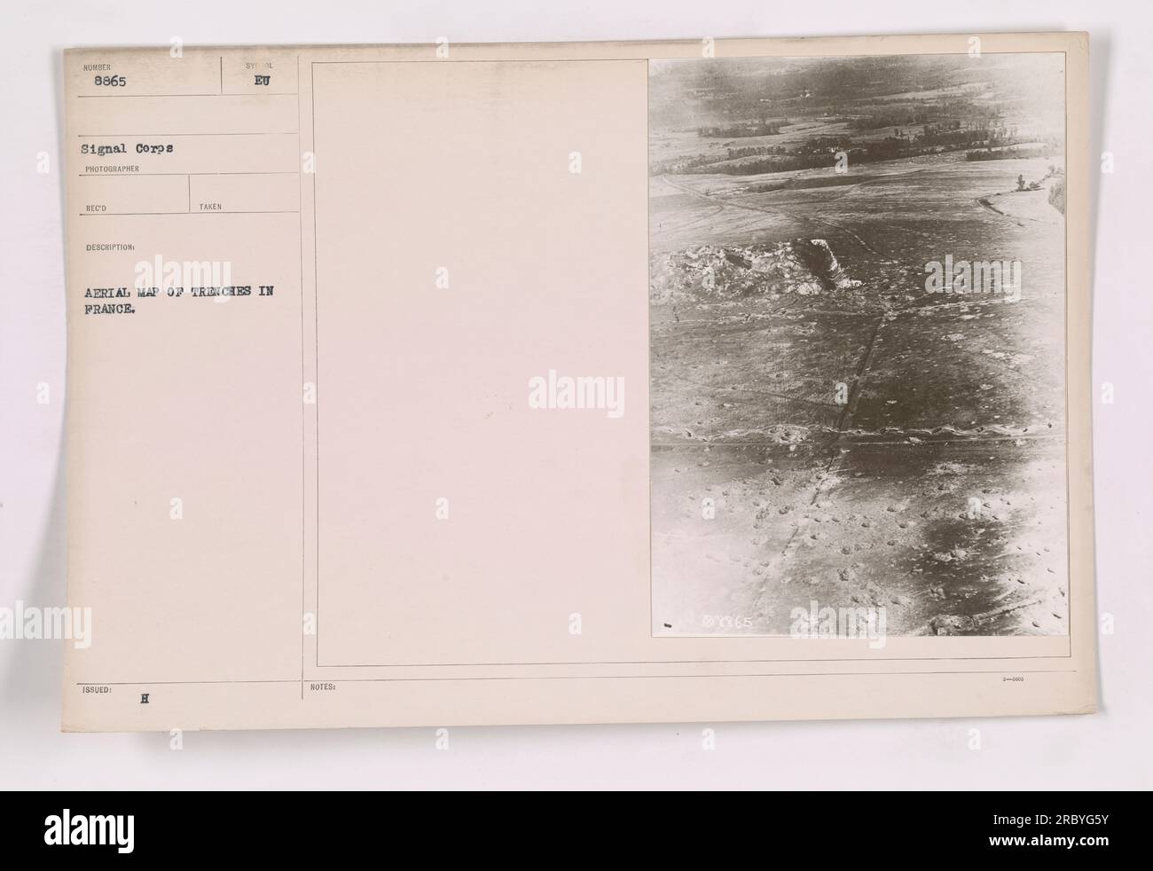 Aerial photograph showing a detailed map of trenches in France during World War One. The photograph, numbered 8865, was taken by a photographer from the Signal Corps. This informative image provides crucial information about the layout and positioning of military activities in the region. Stock Photohttps://www.alamy.com/image-license-details/?v=1https://www.alamy.com/aerial-photograph-showing-a-detailed-map-of-trenches-in-france-during-world-war-one-the-photograph-numbered-8865-was-taken-by-a-photographer-from-the-signal-corps-this-informative-image-provides-crucial-information-about-the-layout-and-positioning-of-military-activities-in-the-region-image558098407.html
RM2RBYG5Y–Aerial photograph showing a detailed map of trenches in France during World War One. The photograph, numbered 8865, was taken by a photographer from the Signal Corps. This informative image provides crucial information about the layout and positioning of military activities in the region.
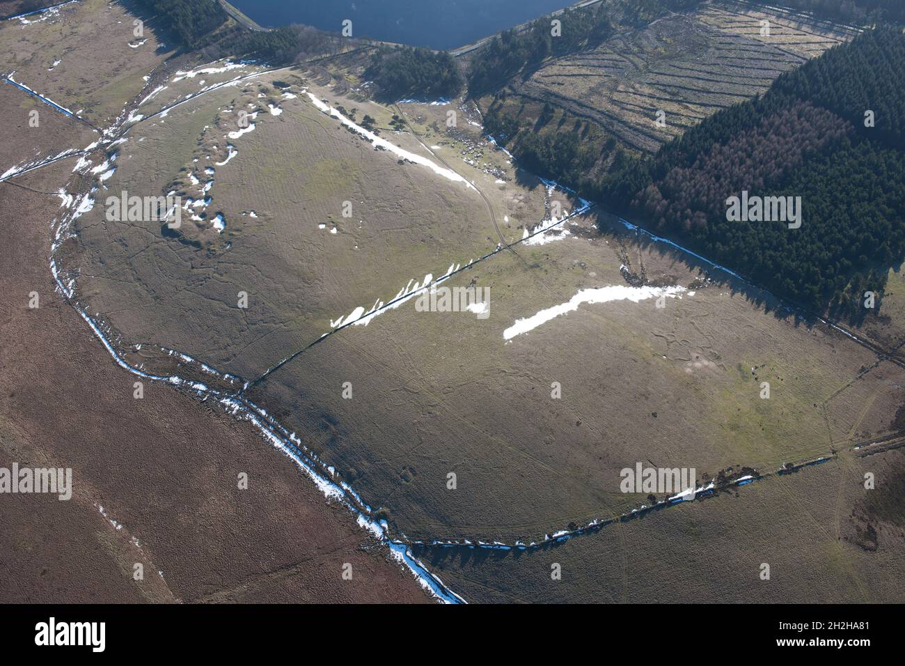 Redmires First World War Training Area, Hallam Moors, Sheffield, 2015. Stock Photohttps://www.alamy.com/image-license-details/?v=1https://www.alamy.com/redmires-first-world-war-training-area-hallam-moors-sheffield-2015-image449080129.html
RM2H2HA81–Redmires First World War Training Area, Hallam Moors, Sheffield, 2015.
 Aerial photograph showing trenches in France during World War One. This image, taken by the Signal Corps, is numbered 111-SC-8533. The trenches indicate the defensive positions dug by the military during the war. The photograph provides an overview and mapping of the area for military strategy purposes. Stock Photohttps://www.alamy.com/image-license-details/?v=1https://www.alamy.com/aerial-photograph-showing-trenches-in-france-during-world-war-one-this-image-taken-by-the-signal-corps-is-numbered-111-sc-8533-the-trenches-indicate-the-defensive-positions-dug-by-the-military-during-the-war-the-photograph-provides-an-overview-and-mapping-of-the-area-for-military-strategy-purposes-image558074343.html
RM2RBXDEF–Aerial photograph showing trenches in France during World War One. This image, taken by the Signal Corps, is numbered 111-SC-8533. The trenches indicate the defensive positions dug by the military during the war. The photograph provides an overview and mapping of the area for military strategy purposes.
 'Thiaumont; L'ouvrage de Thiaumont photographie le 12 aout', 1916. From "Collection de la Guerre IV. L'Illustration Tome CXLVIII. La Guerre Juillet, Aout, Septembre, Octobre, Novembre, Decembre 1916". Stock Photohttps://www.alamy.com/image-license-details/?v=1https://www.alamy.com/thiaumont-louvrage-de-thiaumont-photographie-le-12-aout-1916-from-quotcollection-de-la-guerre-iv-lillustration-tome-cxlviii-la-guerre-juillet-aout-septembre-octobre-novembre-decembre-1916quot-image534103144.html
RM2P0XE08–'Thiaumont; L'ouvrage de Thiaumont photographie le 12 aout', 1916. From "Collection de la Guerre IV. L'Illustration Tome CXLVIII. La Guerre Juillet, Aout, Septembre, Octobre, Novembre, Decembre 1916".
 Aerial photograph taken at an unknown location in France during World War One. The photo depicts a series of trenches, identified as 'Tranchee Guillaume,' running obliquely across the landscape. The image is number 111-SC-976 and was taken by photographer NEOD. It is part of a collection of aerial photographs documenting American military activities during the war. Stock Photohttps://www.alamy.com/image-license-details/?v=1https://www.alamy.com/aerial-photograph-taken-at-an-unknown-location-in-france-during-world-war-one-the-photo-depicts-a-series-of-trenches-identified-as-tranchee-guillaume-running-obliquely-across-the-landscape-the-image-is-number-111-sc-976-and-was-taken-by-photographer-neod-it-is-part-of-a-collection-of-aerial-photographs-documenting-american-military-activities-during-the-war-image558349862.html
RM2RCB0XE–Aerial photograph taken at an unknown location in France during World War One. The photo depicts a series of trenches, identified as 'Tranchee Guillaume,' running obliquely across the landscape. The image is number 111-SC-976 and was taken by photographer NEOD. It is part of a collection of aerial photographs documenting American military activities during the war.
 An aerial view of trenches in France during World War I. The photograph, taken by the Signal Corps, shows the intricate network of trenches dug by the American military. The image provides a glimpse into the challenging and complex warfare tactics employed during the war. Stock Photohttps://www.alamy.com/image-license-details/?v=1https://www.alamy.com/an-aerial-view-of-trenches-in-france-during-world-war-i-the-photograph-taken-by-the-signal-corps-shows-the-intricate-network-of-trenches-dug-by-the-american-military-the-image-provides-a-glimpse-into-the-challenging-and-complex-warfare-tactics-employed-during-the-war-image558378568.html
RM2RCC9FM–An aerial view of trenches in France during World War I. The photograph, taken by the Signal Corps, shows the intricate network of trenches dug by the American military. The image provides a glimpse into the challenging and complex warfare tactics employed during the war.
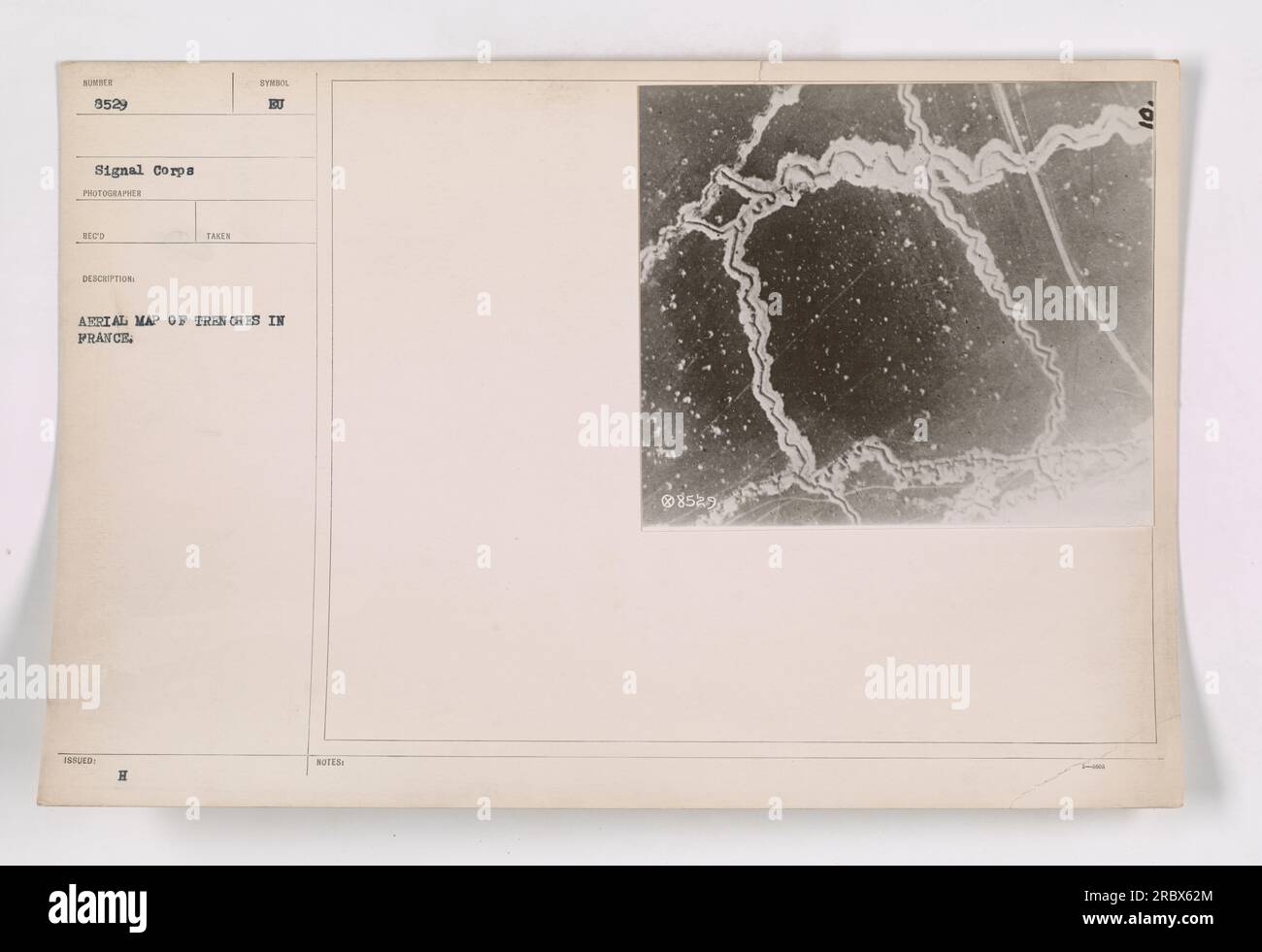 'Aerial photograph showing a map of trenches in France during World War One. The image, captured by photographer Reco, is marked with the letter 'H' and accompanied by the notes 'EU'. This photograph, labeled as 8529, was taken by the Signal Corps.' Stock Photohttps://www.alamy.com/image-license-details/?v=1https://www.alamy.com/aerial-photograph-showing-a-map-of-trenches-in-france-during-world-war-one-the-image-captured-by-photographer-reco-is-marked-with-the-letter-h-and-accompanied-by-the-notes-eu-this-photograph-labeled-as-8529-was-taken-by-the-signal-corps-image558068524.html
RM2RBX62M–'Aerial photograph showing a map of trenches in France during World War One. The image, captured by photographer Reco, is marked with the letter 'H' and accompanied by the notes 'EU'. This photograph, labeled as 8529, was taken by the Signal Corps.'
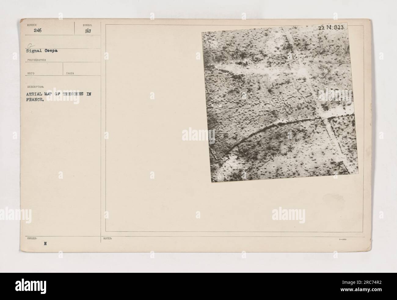 Aerial map showing trenches in France during World War One. Photograph taken by the 246 Signal Company. The map is detailed with symbols, with a note indicating a specific position with N:823 as the coordinates. Stock Photohttps://www.alamy.com/image-license-details/?v=1https://www.alamy.com/aerial-map-showing-trenches-in-france-during-world-war-one-photograph-taken-by-the-246-signal-company-the-map-is-detailed-with-symbols-with-a-note-indicating-a-specific-position-with-n823-as-the-coordinates-image558265094.html
RM2RC74R2–Aerial map showing trenches in France during World War One. Photograph taken by the 246 Signal Company. The map is detailed with symbols, with a note indicating a specific position with N:823 as the coordinates.
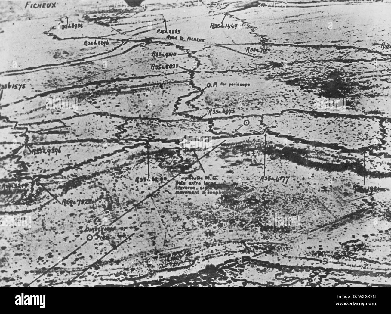 Aerial photograph of an unidentified trench system during WW I ca. 1918 Stock Photohttps://www.alamy.com/image-license-details/?v=1https://www.alamy.com/aerial-photograph-of-an-unidentified-trench-system-during-ww-i-ca-1918-image259751177.html
RMW2GK7N–Aerial photograph of an unidentified trench system during WW I ca. 1918
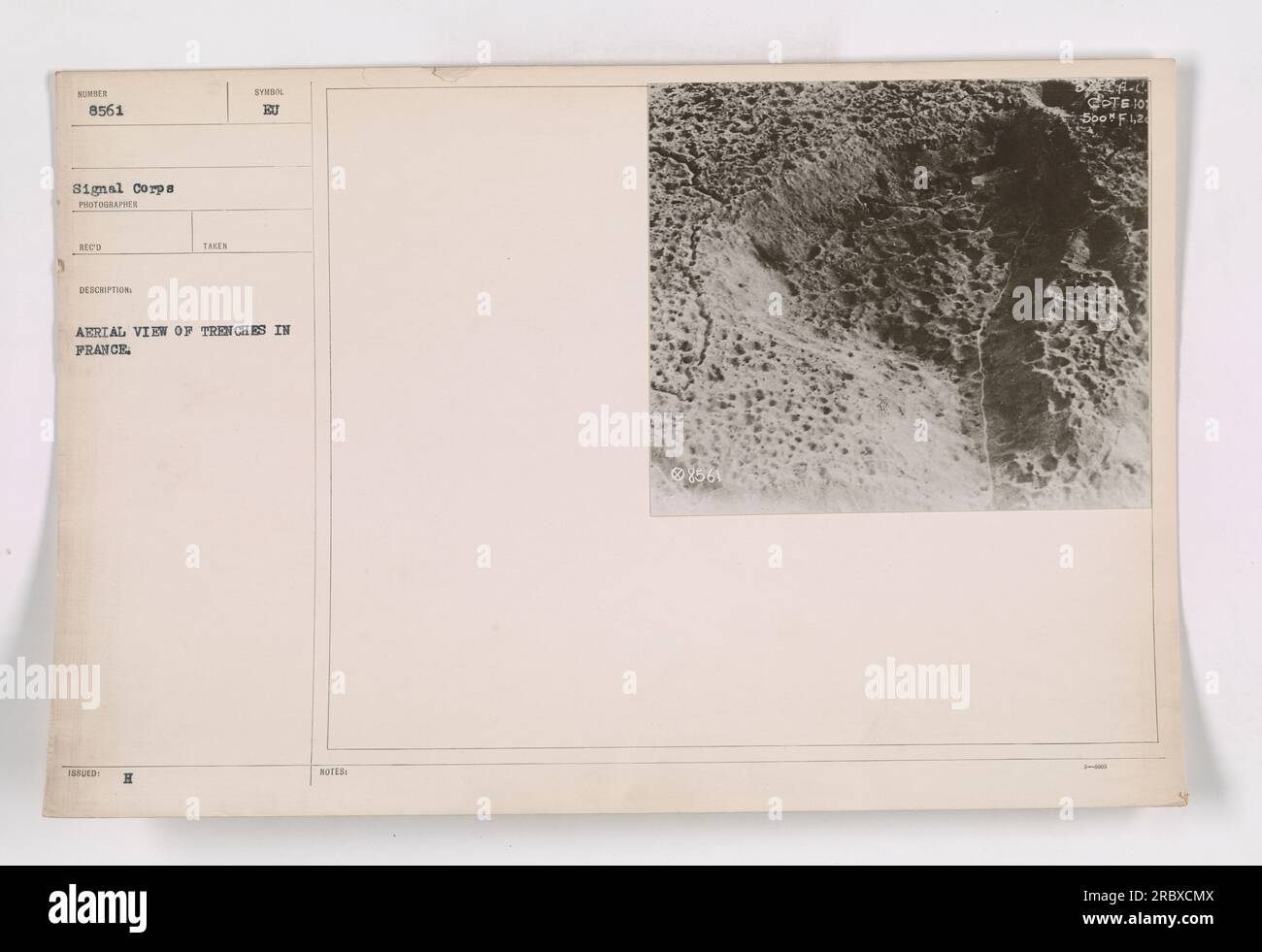 Aerial view of trenches in France during World War I as captured in photograph 111-SC-8561. The photograph, taken by the Signal Corps photographer, provides a detailed map of the trenches. It was taken in French territory, with the photographer stationed at an elevated position. The image is part of the WUNDER collection. Stock Photohttps://www.alamy.com/image-license-details/?v=1https://www.alamy.com/aerial-view-of-trenches-in-france-during-world-war-i-as-captured-in-photograph-111-sc-8561-the-photograph-taken-by-the-signal-corps-photographer-provides-a-detailed-map-of-the-trenches-it-was-taken-in-french-territory-with-the-photographer-stationed-at-an-elevated-position-the-image-is-part-of-the-wunder-collection-image558073738.html
RM2RBXCMX–Aerial view of trenches in France during World War I as captured in photograph 111-SC-8561. The photograph, taken by the Signal Corps photographer, provides a detailed map of the trenches. It was taken in French territory, with the photographer stationed at an elevated position. The image is part of the WUNDER collection.
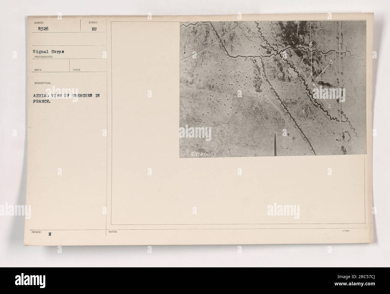 Aerial view of trenches in France, taken during World War I. The photograph shows a network of trenches that were used for military activities. Stock Photohttps://www.alamy.com/image-license-details/?v=1https://www.alamy.com/aerial-view-of-trenches-in-france-taken-during-world-war-i-the-photograph-shows-a-network-of-trenches-that-were-used-for-military-activities-image558223250.html
RM2RC57CJ–Aerial view of trenches in France, taken during World War I. The photograph shows a network of trenches that were used for military activities.
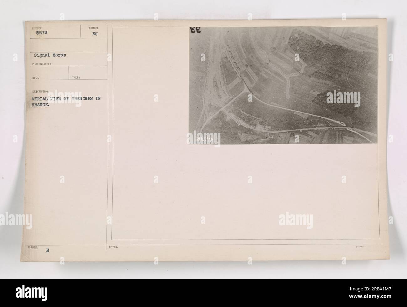 Aerial view of trenches in France during World War I. The photo, captured by the Signal Corps, shows a series of trenches carved into the landscape. The image is identified as BER 8572 with the corresponding H symbol notes and EE 8572. Stock Photohttps://www.alamy.com/image-license-details/?v=1https://www.alamy.com/aerial-view-of-trenches-in-france-during-world-war-i-the-photo-captured-by-the-signal-corps-shows-a-series-of-trenches-carved-into-the-landscape-the-image-is-identified-as-ber-8572-with-the-corresponding-h-symbol-notes-and-ee-8572-image558065095.html
RM2RBX1M7–Aerial view of trenches in France during World War I. The photo, captured by the Signal Corps, shows a series of trenches carved into the landscape. The image is identified as BER 8572 with the corresponding H symbol notes and EE 8572.
 Aerial view of trenches in France during World War I. The photograph, taken by the Signal Corps, shows the intricate network of trenches used by soldiers for cover and protection. The photo is labeled as 111-SC-8854 and was issued under the symbol EU. Stock Photohttps://www.alamy.com/image-license-details/?v=1https://www.alamy.com/aerial-view-of-trenches-in-france-during-world-war-i-the-photograph-taken-by-the-signal-corps-shows-the-intricate-network-of-trenches-used-by-soldiers-for-cover-and-protection-the-photo-is-labeled-as-111-sc-8854-and-was-issued-under-the-symbol-eu-image558081636.html
RM2RBXPR0–Aerial view of trenches in France during World War I. The photograph, taken by the Signal Corps, shows the intricate network of trenches used by soldiers for cover and protection. The photo is labeled as 111-SC-8854 and was issued under the symbol EU.
 Image captures soldiers in built-up trenches in Langres, Hte Marne, France during World War I. The photograph specifically displays various types of revetments used in the trenches. Catalog ID: 111-SC-33525. Taken on 20th November 1918. Released by A.E.F. Censor on 7th January 1919. Stock Photohttps://www.alamy.com/image-license-details/?v=1https://www.alamy.com/image-captures-soldiers-in-built-up-trenches-in-langres-hte-marne-france-during-world-war-i-the-photograph-specifically-displays-various-types-of-revetments-used-in-the-trenches-catalog-id-111-sc-33525-taken-on-20th-november-1918-released-by-aef-censor-on-7th-january-1919-image558438218.html
RM2RCF1J2–Image captures soldiers in built-up trenches in Langres, Hte Marne, France during World War I. The photograph specifically displays various types of revetments used in the trenches. Catalog ID: 111-SC-33525. Taken on 20th November 1918. Released by A.E.F. Censor on 7th January 1919.
 'Thiaumont; Deux aspects du champ de bataille de Thiaumont photographie de 800 metres d'altitude: Thiaumont, Douaumont et Vaux. Le 1er juillet', 1916. From "Collection de la Guerre IV. L'Illustration Tome CXLVIII. La Guerre Juillet, Aout, Septembre, Octobre, Novembre, Decembre 1916". Stock Photohttps://www.alamy.com/image-license-details/?v=1https://www.alamy.com/thiaumont-deux-aspects-du-champ-de-bataille-de-thiaumont-photographie-de-800-metres-daltitude-thiaumont-douaumont-et-vaux-le-1er-juillet-1916-from-quotcollection-de-la-guerre-iv-lillustration-tome-cxlviii-la-guerre-juillet-aout-septembre-octobre-novembre-decembre-1916quot-image534103148.html
RM2P0XE0C–'Thiaumont; Deux aspects du champ de bataille de Thiaumont photographie de 800 metres d'altitude: Thiaumont, Douaumont et Vaux. Le 1er juillet', 1916. From "Collection de la Guerre IV. L'Illustration Tome CXLVIII. La Guerre Juillet, Aout, Septembre, Octobre, Novembre, Decembre 1916".
 American troops capturing St. Mihiel salient during World War I. The image shows a hillside heavily tunneled by the Germans, resembling cliff dwellings, from where the attack was launched. Defensive trenches can be seen halfway up the hill. Photo taken on October 14, 1918, by the Signal Corps. Issued by A.E.P. censor on October 19, 1918. Stock Photohttps://www.alamy.com/image-license-details/?v=1https://www.alamy.com/american-troops-capturing-st-mihiel-salient-during-world-war-i-the-image-shows-a-hillside-heavily-tunneled-by-the-germans-resembling-cliff-dwellings-from-where-the-attack-was-launched-defensive-trenches-can-be-seen-halfway-up-the-hill-photo-taken-on-october-14-1918-by-the-signal-corps-issued-by-aep-censor-on-october-19-1918-image558254093.html
RM2RC6JP5–American troops capturing St. Mihiel salient during World War I. The image shows a hillside heavily tunneled by the Germans, resembling cliff dwellings, from where the attack was launched. Defensive trenches can be seen halfway up the hill. Photo taken on October 14, 1918, by the Signal Corps. Issued by A.E.P. censor on October 19, 1918.
 Aerial photograph of an ammunition dump near Brocourt, Meuse, France, taken on October 1, 1918. The image shows rows of different types of shells used by the American Artillery during World War I. This photograph is not intended for public distribution and is for official use only. Stock Photohttps://www.alamy.com/image-license-details/?v=1https://www.alamy.com/aerial-photograph-of-an-ammunition-dump-near-brocourt-meuse-france-taken-on-october-1-1918-the-image-shows-rows-of-different-types-of-shells-used-by-the-american-artillery-during-world-war-i-this-photograph-is-not-intended-for-public-distribution-and-is-for-official-use-only-image558518009.html
RM2RCJKBN–Aerial photograph of an ammunition dump near Brocourt, Meuse, France, taken on October 1, 1918. The image shows rows of different types of shells used by the American Artillery during World War I. This photograph is not intended for public distribution and is for official use only.
 Soldiers from the U.S. Signal Corps erecting telegraph lines during World War I. The photograph was taken by Walter M. Boyden, 2nd Lieutenant of the A.S.A.P. (Aero Squad Aerial Park). The soldier's uniform bears the symbol of the Signal Corps. Stock Photohttps://www.alamy.com/image-license-details/?v=1https://www.alamy.com/soldiers-from-the-us-signal-corps-erecting-telegraph-lines-during-world-war-i-the-photograph-was-taken-by-walter-m-boyden-2nd-lieutenant-of-the-asap-aero-squad-aerial-park-the-soldiers-uniform-bears-the-symbol-of-the-signal-corps-image558089425.html
RM2RBY4N5–Soldiers from the U.S. Signal Corps erecting telegraph lines during World War I. The photograph was taken by Walter M. Boyden, 2nd Lieutenant of the A.S.A.P. (Aero Squad Aerial Park). The soldier's uniform bears the symbol of the Signal Corps.
 A damaged Taube aircraft, which was used by German aviators for reconnaissance and attacks on the Allied trenches during World War I, is displayed as a war trophy in a French city. This particular aircraft met its demise as a result of an encounter with a skilled French Ace. Stock Photohttps://www.alamy.com/image-license-details/?v=1https://www.alamy.com/a-damaged-taube-aircraft-which-was-used-by-german-aviators-for-reconnaissance-and-attacks-on-the-allied-trenches-during-world-war-i-is-displayed-as-a-war-trophy-in-a-french-city-this-particular-aircraft-met-its-demise-as-a-result-of-an-encounter-with-a-skilled-french-ace-image558250117.html
RM2RC6DM5–A damaged Taube aircraft, which was used by German aviators for reconnaissance and attacks on the Allied trenches during World War I, is displayed as a war trophy in a French city. This particular aircraft met its demise as a result of an encounter with a skilled French Ace.
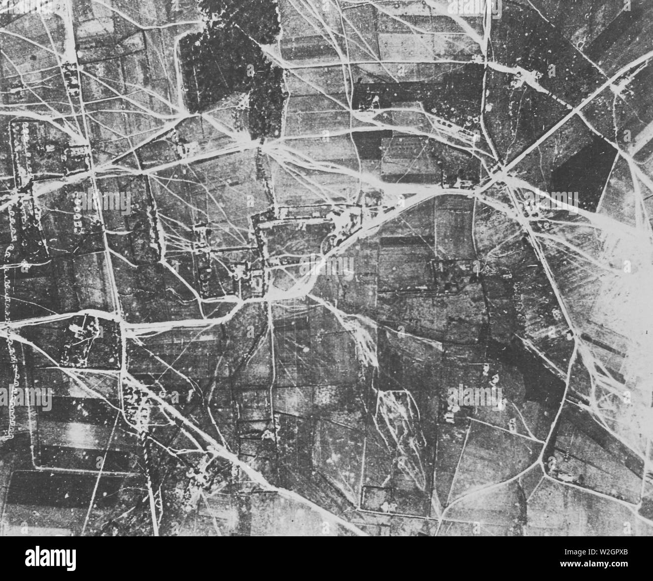 Aerial photograph of an unidentified trench system during WW I ca. 1918 Stock Photohttps://www.alamy.com/image-license-details/?v=1https://www.alamy.com/aerial-photograph-of-an-unidentified-trench-system-during-ww-i-ca-1918-image259754051.html
RMW2GPXB–Aerial photograph of an unidentified trench system during WW I ca. 1918
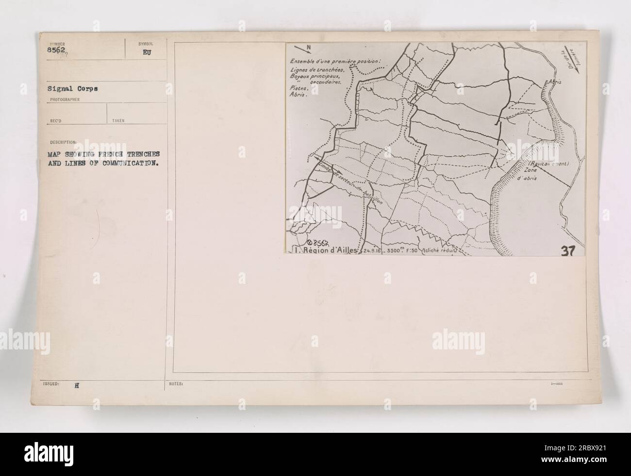 A photograph showing a detailed map of French trenches and lines of communication during World War I. The map depicts the layout of trenches, main and secondary communication lines, and shelters in the Ailles region. This image was likely taken by a Signal Corps photographer and received the description mentioned above. Stock Photohttps://www.alamy.com/image-license-details/?v=1https://www.alamy.com/a-photograph-showing-a-detailed-map-of-french-trenches-and-lines-of-communication-during-world-war-i-the-map-depicts-the-layout-of-trenches-main-and-secondary-communication-lines-and-shelters-in-the-ailles-region-this-image-was-likely-taken-by-a-signal-corps-photographer-and-received-the-description-mentioned-above-image558070857.html
RM2RBX921–A photograph showing a detailed map of French trenches and lines of communication during World War I. The map depicts the layout of trenches, main and secondary communication lines, and shelters in the Ailles region. This image was likely taken by a Signal Corps photographer and received the description mentioned above.
 This photograph, taken in the Moselle Valley, shows the town of Pont-À-Mousson. The image depicts the American and German front lines during World War I, with the German first line trenches marked by a row of Poplar trees. Several German villages, including Montrichard, Morroy, Vandieres, Champey, and Pagney sur Moselle, are visible from this position. Moreover, the road to Metz and the town of Meta can be seen under clear conditions. This image was released by the A.E.F. censor, but the specific date is unknown. Stock Photohttps://www.alamy.com/image-license-details/?v=1https://www.alamy.com/this-photograph-taken-in-the-moselle-valley-shows-the-town-of-pont-mousson-the-image-depicts-the-american-and-german-front-lines-during-world-war-i-with-the-german-first-line-trenches-marked-by-a-row-of-poplar-trees-several-german-villages-including-montrichard-morroy-vandieres-champey-and-pagney-sur-moselle-are-visible-from-this-position-moreover-the-road-to-metz-and-the-town-of-meta-can-be-seen-under-clear-conditions-this-image-was-released-by-the-aef-censor-but-the-specific-date-is-unknown-image558149132.html
RM2RC1TWG–This photograph, taken in the Moselle Valley, shows the town of Pont-À-Mousson. The image depicts the American and German front lines during World War I, with the German first line trenches marked by a row of Poplar trees. Several German villages, including Montrichard, Morroy, Vandieres, Champey, and Pagney sur Moselle, are visible from this position. Moreover, the road to Metz and the town of Meta can be seen under clear conditions. This image was released by the A.E.F. censor, but the specific date is unknown.
 Aerial photograph from World War I showing an unidentified location with terrain. Image number 893, taken by photographer Bee in 1919 and issued with the code symbol KU. The photo is an example of aerial photography capturing the terrain. Notes indicate that it is number 89 in a series. Stock Photohttps://www.alamy.com/image-license-details/?v=1https://www.alamy.com/aerial-photograph-from-world-war-i-showing-an-unidentified-location-with-terrain-image-number-893-taken-by-photographer-bee-in-1919-and-issued-with-the-code-symbol-ku-the-photo-is-an-example-of-aerial-photography-capturing-the-terrain-notes-indicate-that-it-is-number-89-in-a-series-image558349864.html
RM2RCB0XG–Aerial photograph from World War I showing an unidentified location with terrain. Image number 893, taken by photographer Bee in 1919 and issued with the code symbol KU. The photo is an example of aerial photography capturing the terrain. Notes indicate that it is number 89 in a series.
 'Thiaumont; Deux aspects du champ de bataille de Thiaumont photographie de 800 metres d'altitude: la crete de Thiaumont le 1er juillet', 1916. From "Collection de la Guerre IV. L'Illustration Tome CXLVIII. La Guerre Juillet, Aout, Septembre, Octobre, Novembre, Decembre 1916". Stock Photohttps://www.alamy.com/image-license-details/?v=1https://www.alamy.com/thiaumont-deux-aspects-du-champ-de-bataille-de-thiaumont-photographie-de-800-metres-daltitude-la-crete-de-thiaumont-le-1er-juillet-1916-from-quotcollection-de-la-guerre-iv-lillustration-tome-cxlviii-la-guerre-juillet-aout-septembre-octobre-novembre-decembre-1916quot-image534103159.html
RM2P0XE0R–'Thiaumont; Deux aspects du champ de bataille de Thiaumont photographie de 800 metres d'altitude: la crete de Thiaumont le 1er juillet', 1916. From "Collection de la Guerre IV. L'Illustration Tome CXLVIII. La Guerre Juillet, Aout, Septembre, Octobre, Novembre, Decembre 1916".
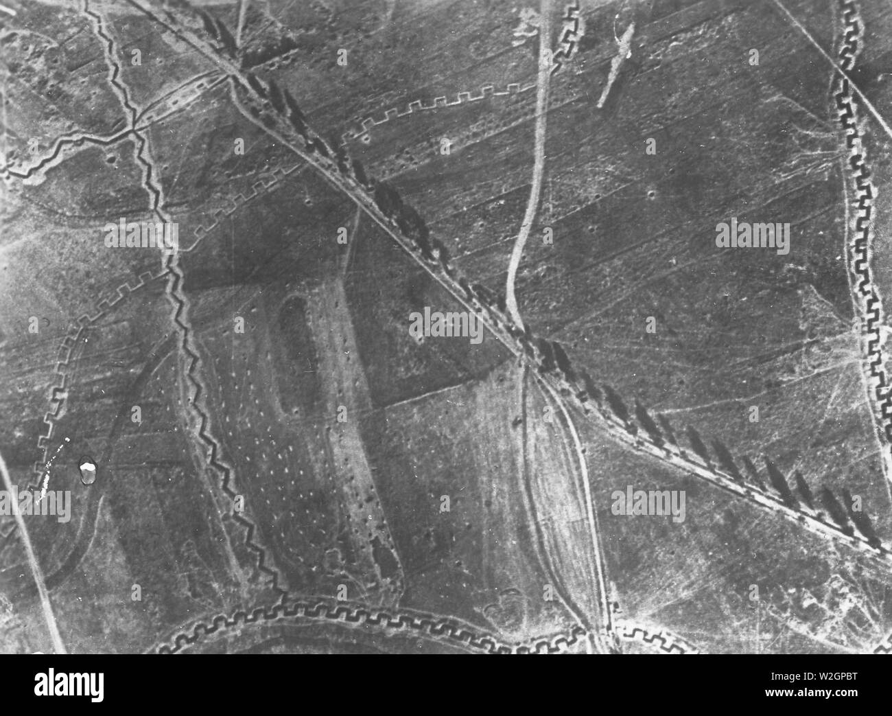 Aerial photograph of an unidentified trench system during WW I ca. 1918 Stock Photohttps://www.alamy.com/image-license-details/?v=1https://www.alamy.com/aerial-photograph-of-an-unidentified-trench-system-during-ww-i-ca-1918-image259753644.html
RMW2GPBT–Aerial photograph of an unidentified trench system during WW I ca. 1918
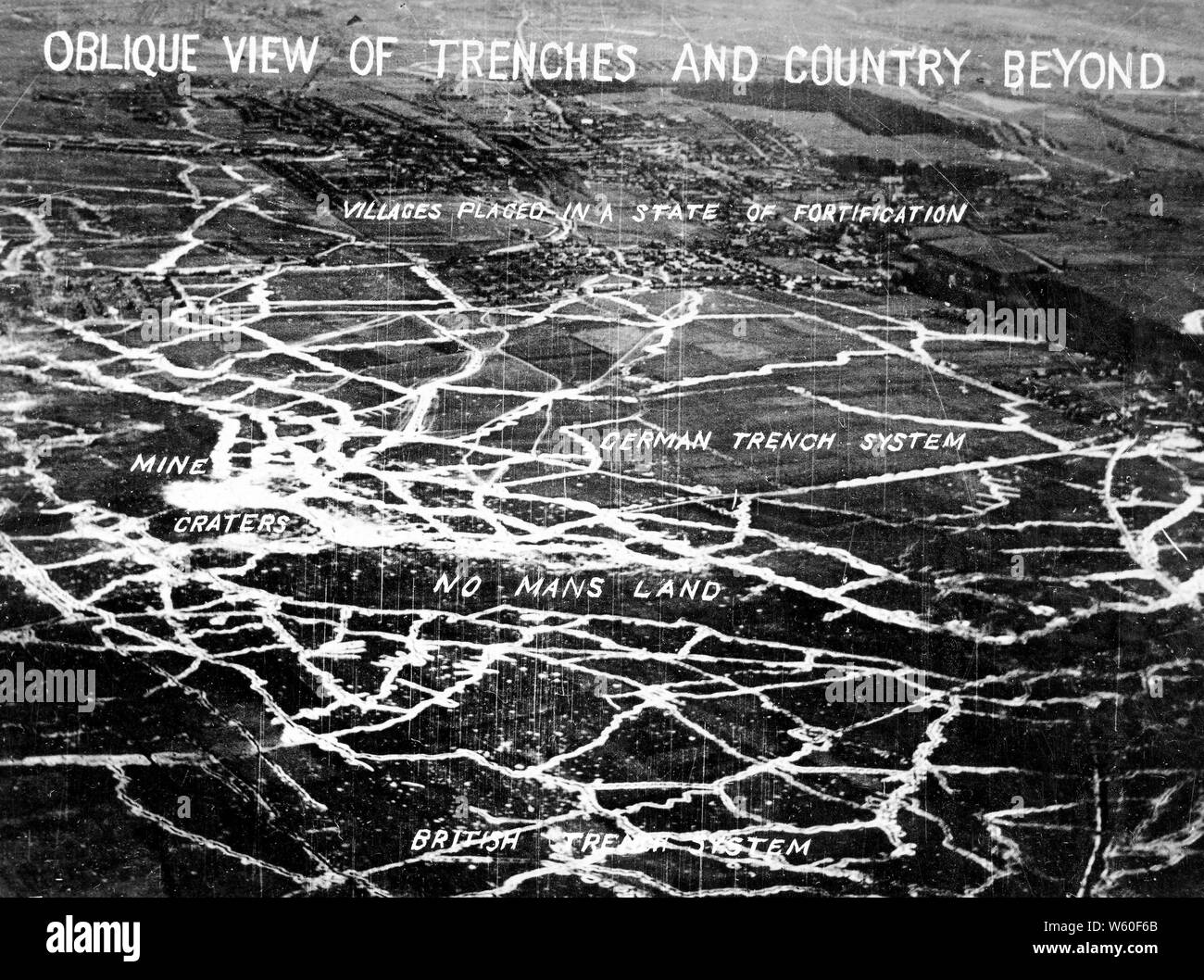 Signal Corps aerial photo showing WW I trench system ca. 1917-1918 Stock Photohttps://www.alamy.com/image-license-details/?v=1https://www.alamy.com/signal-corps-aerial-photo-showing-ww-i-trench-system-ca-1917-1918-image261855395.html
RMW60F6B–Signal Corps aerial photo showing WW I trench system ca. 1917-1918
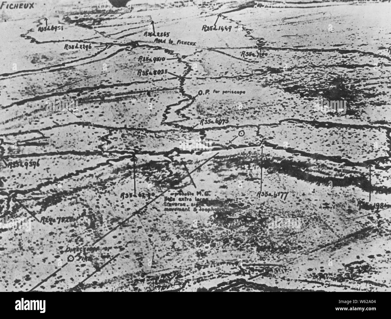 Aerial photograph of an unidentified trench system during WW I ca. 1918 Stock Photohttps://www.alamy.com/image-license-details/?v=1https://www.alamy.com/aerial-photograph-of-an-unidentified-trench-system-during-ww-i-ca-1918-image261895204.html
RMW62A04–Aerial photograph of an unidentified trench system during WW I ca. 1918
 Aerial photograph of an unidentified location during World War I. The photograph, labeled as MURBER 973, shows a bird's-eye view of the area. The photographer, described as RECO, marked the photograph with symbols and tags denoting important features or locations. The overall image appears to capture the strategic nature of the military activities taking place. Stock Photohttps://www.alamy.com/image-license-details/?v=1https://www.alamy.com/aerial-photograph-of-an-unidentified-location-during-world-war-i-the-photograph-labeled-as-murber-973-shows-a-birds-eye-view-of-the-area-the-photographer-described-as-reco-marked-the-photograph-with-symbols-and-tags-denoting-important-features-or-locations-the-overall-image-appears-to-capture-the-strategic-nature-of-the-military-activities-taking-place-image558295938.html
RM2RC8G4J–Aerial photograph of an unidentified location during World War I. The photograph, labeled as MURBER 973, shows a bird's-eye view of the area. The photographer, described as RECO, marked the photograph with symbols and tags denoting important features or locations. The overall image appears to capture the strategic nature of the military activities taking place.
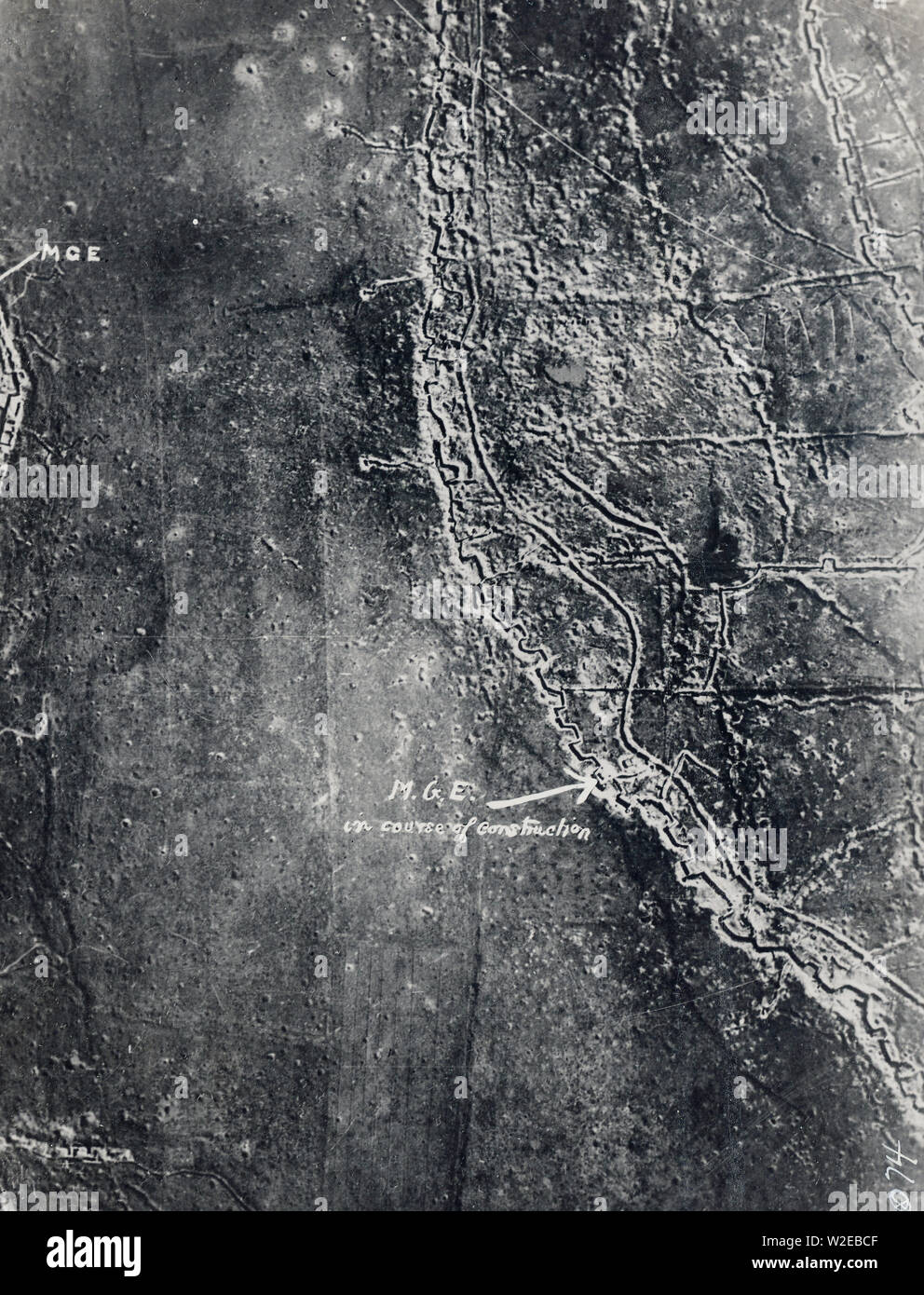 Signal Corps aerial photo showing trench system and machine gun emplacement Stock Photohttps://www.alamy.com/image-license-details/?v=1https://www.alamy.com/signal-corps-aerial-photo-showing-trench-system-and-machine-gun-emplacement-image259701135.html
RMW2EBCF–Signal Corps aerial photo showing trench system and machine gun emplacement
 'La bataille de la Somme vue d'un aeroplane, a 200 metres de hauteur; Pendant l'attaque de Vermandovillers, le 17 septembre, a 15 heurs : arrivee de renforts par les boyaux allemands en terrain deja conquis.', 1916. From "Collection de la Guerre IV. L'Illustration Tome CXLVII. La Guerre Juillet, Aout, Septembre, Octobre, Novembre, Decembre 1916". Stock Photohttps://www.alamy.com/image-license-details/?v=1https://www.alamy.com/la-bataille-de-la-somme-vue-dun-aeroplane-a-200-metres-de-hauteur-pendant-lattaque-de-vermandovillers-le-17-septembre-a-15-heurs-arrivee-de-renforts-par-les-boyaux-allemands-en-terrain-deja-conquis-1916-from-quotcollection-de-la-guerre-iv-lillustration-tome-cxlvii-la-guerre-juillet-aout-septembre-octobre-novembre-decembre-1916quot-image534120068.html
RM2P0Y7GM–'La bataille de la Somme vue d'un aeroplane, a 200 metres de hauteur; Pendant l'attaque de Vermandovillers, le 17 septembre, a 15 heurs : arrivee de renforts par les boyaux allemands en terrain deja conquis.', 1916. From "Collection de la Guerre IV. L'Illustration Tome CXLVII. La Guerre Juillet, Aout, Septembre, Octobre, Novembre, Decembre 1916".
 Aerial photograph taken in 1919, depicting an unidentified location during World War I. The photograph captures the area's terrain, allowing for strategic analysis. The image carries the symbol EU, representing an issued photograph of aerial photography focusing on the terrain. Additional notes indicate the number 888. Stock Photohttps://www.alamy.com/image-license-details/?v=1https://www.alamy.com/aerial-photograph-taken-in-1919-depicting-an-unidentified-location-during-world-war-i-the-photograph-captures-the-areas-terrain-allowing-for-strategic-analysis-the-image-carries-the-symbol-eu-representing-an-issued-photograph-of-aerial-photography-focusing-on-the-terrain-additional-notes-indicate-the-number-888-image558301373.html
RM2RC8R2N–Aerial photograph taken in 1919, depicting an unidentified location during World War I. The photograph captures the area's terrain, allowing for strategic analysis. The image carries the symbol EU, representing an issued photograph of aerial photography focusing on the terrain. Additional notes indicate the number 888.
 Soldiers man an observation post in the trenches at Aisnetal, France during World War I. The photograph was taken on May 12, 1919, by photographer Reco. This image provides a glimpse into the military activities and defensive strategies used during the war. Stock Photohttps://www.alamy.com/image-license-details/?v=1https://www.alamy.com/soldiers-man-an-observation-post-in-the-trenches-at-aisnetal-france-during-world-war-i-the-photograph-was-taken-on-may-12-1919-by-photographer-reco-this-image-provides-a-glimpse-into-the-military-activities-and-defensive-strategies-used-during-the-war-image558560695.html
RM2RCMHT7–Soldiers man an observation post in the trenches at Aisnetal, France during World War I. The photograph was taken on May 12, 1919, by photographer Reco. This image provides a glimpse into the military activities and defensive strategies used during the war.
 Aerial photograph showing a map of trenches in France during World War One. This photo, taken by Signal Corps Photographer Beco, is assigned the number 111-SC-8543. The photo is labeled as an aerial view and provides an overview of the trenches. Stock Photohttps://www.alamy.com/image-license-details/?v=1https://www.alamy.com/aerial-photograph-showing-a-map-of-trenches-in-france-during-world-war-one-this-photo-taken-by-signal-corps-photographer-beco-is-assigned-the-number-111-sc-8543-the-photo-is-labeled-as-an-aerial-view-and-provides-an-overview-of-the-trenches-image558073109.html
RM2RBXBXD–Aerial photograph showing a map of trenches in France during World War One. This photo, taken by Signal Corps Photographer Beco, is assigned the number 111-SC-8543. The photo is labeled as an aerial view and provides an overview of the trenches.
 'L'offensive de la Somme; la preparation d'une bataille: L'attaque du 1er juillet 1916 observee d'un aeroplane; Tranchees de depart garnies de troupes, avec passerelles pour le passage des reserves', 1916. From "Collection de la Guerre IV. L'Illustration Tome CXLVIII. La Guerre Juillet, Aout, Septembre, Octobre, Novembre, Decembre 1916". Stock Photohttps://www.alamy.com/image-license-details/?v=1https://www.alamy.com/loffensive-de-la-somme-la-preparation-dune-bataille-lattaque-du-1er-juillet-1916-observee-dun-aeroplane-tranchees-de-depart-garnies-de-troupes-avec-passerelles-pour-le-passage-des-reserves-1916-from-quotcollection-de-la-guerre-iv-lillustration-tome-cxlviii-la-guerre-juillet-aout-septembre-octobre-novembre-decembre-1916quot-image534098714.html
RM2P0X8A2–'L'offensive de la Somme; la preparation d'une bataille: L'attaque du 1er juillet 1916 observee d'un aeroplane; Tranchees de depart garnies de troupes, avec passerelles pour le passage des reserves', 1916. From "Collection de la Guerre IV. L'Illustration Tome CXLVIII. La Guerre Juillet, Aout, Septembre, Octobre, Novembre, Decembre 1916".