Quick filters:
Aerial view baltimore Stock Photos and Images
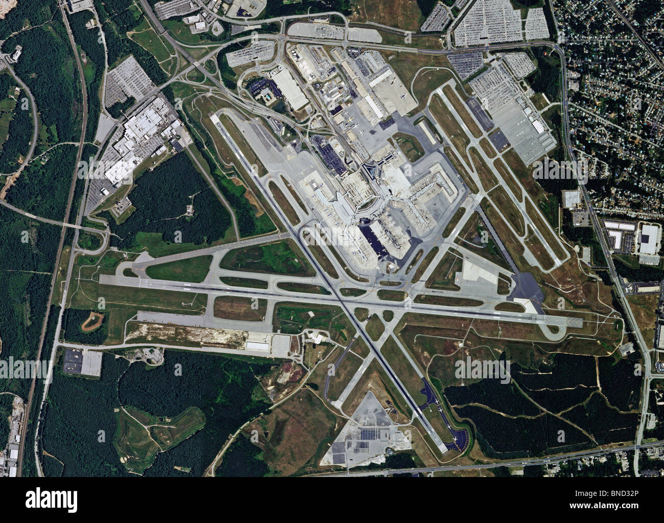 aerial map view above Baltimore Washington International Thurgood Marshall Airport BWI Maryland Stock Photohttps://www.alamy.com/image-license-details/?v=1https://www.alamy.com/stock-photo-aerial-map-view-above-baltimore-washington-international-thurgood-30405950.html
RFBND32P–aerial map view above Baltimore Washington International Thurgood Marshall Airport BWI Maryland
 The City of Baltimore. Bird's-eye view of Baltimore, Maryland from above the harbor c. 1880 Stock Photohttps://www.alamy.com/image-license-details/?v=1https://www.alamy.com/stock-photo-the-city-of-baltimore-birds-eye-view-of-baltimore-maryland-from-above-83183169.html
RMER98YD–The City of Baltimore. Bird's-eye view of Baltimore, Maryland from above the harbor c. 1880
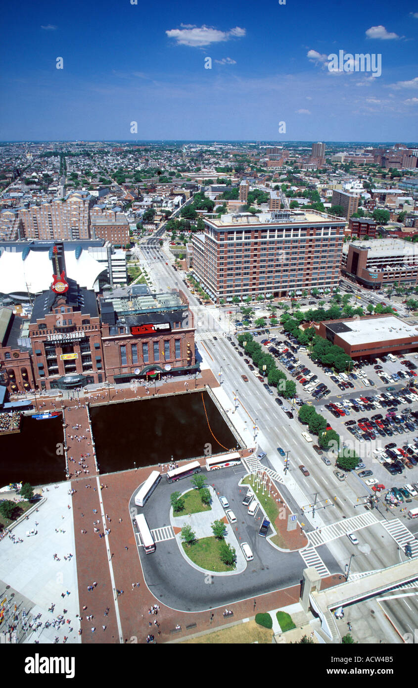 Aerial view of Baltimore Maryland Stock Photohttps://www.alamy.com/image-license-details/?v=1https://www.alamy.com/aerial-view-of-baltimore-maryland-image2462900.html
RFACW4B5–Aerial view of Baltimore Maryland
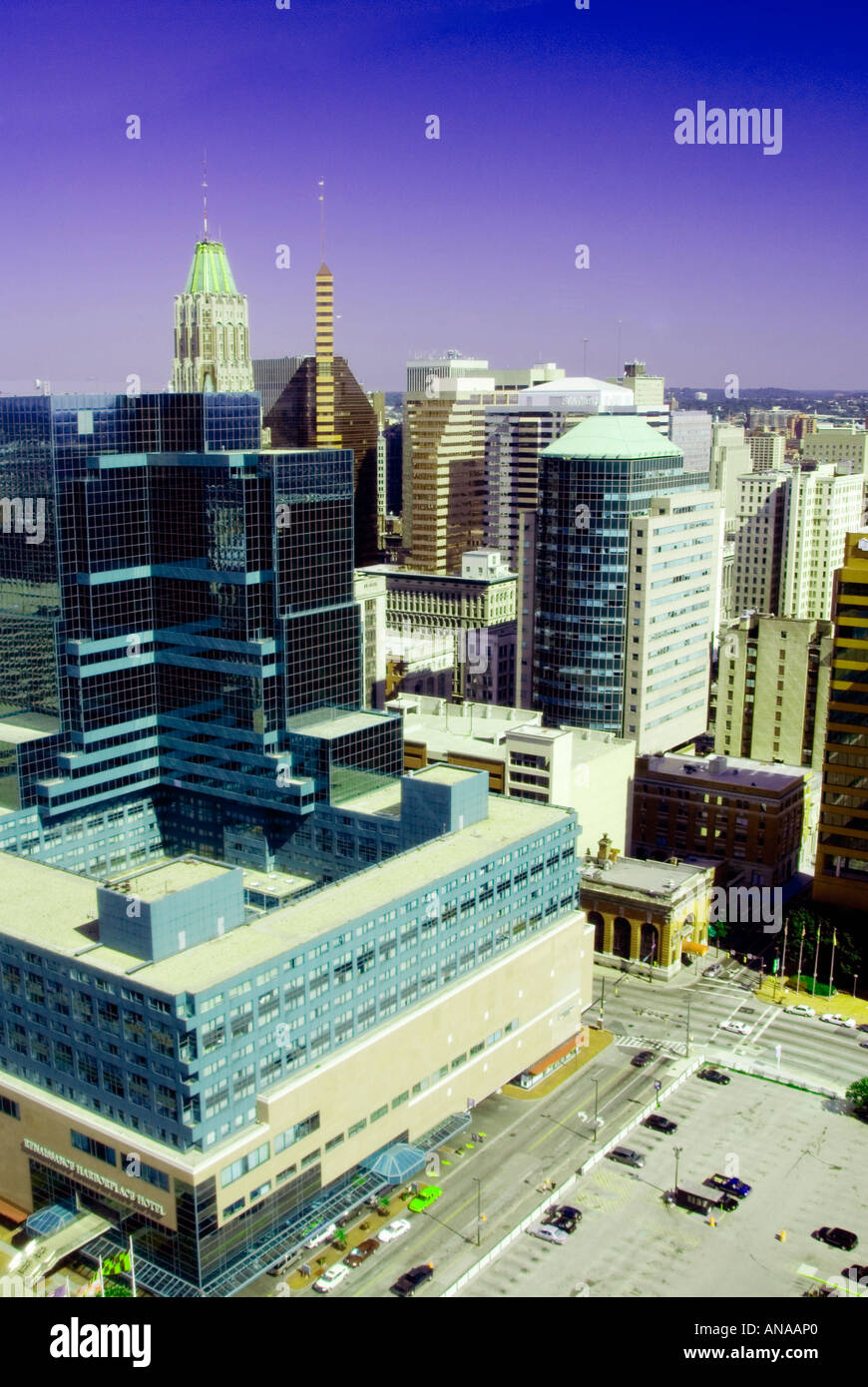 Aerial view of Baltimore Maryland Stock Photohttps://www.alamy.com/image-license-details/?v=1https://www.alamy.com/aerial-view-of-baltimore-maryland-image8836575.html
RMANAAP0–Aerial view of Baltimore Maryland
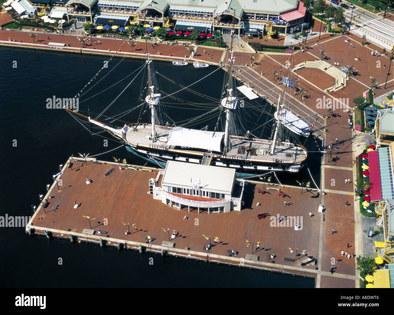 Aerial View of Baltimore Inner harbor from WTC Baltimore Maryland USA Stock Photohttps://www.alamy.com/image-license-details/?v=1https://www.alamy.com/aerial-view-of-baltimore-inner-harbor-from-wtc-baltimore-maryland-image6898757.html
RMA8DWT6–Aerial View of Baltimore Inner harbor from WTC Baltimore Maryland USA
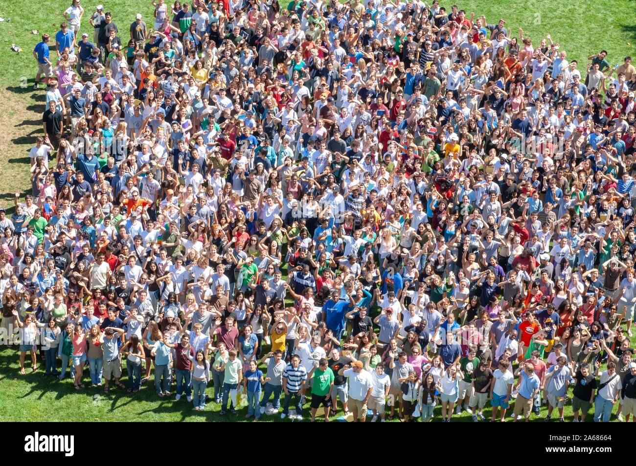 Bird's-eye view of a crowd, standing close together in a grassy area on a sunny day during a college orientation week event, and looking up toward the camera, at the Johns Hopkins University, Baltimore, Maryland, September 4, 2006. From the Homewood Photography Collection. () Stock Photohttps://www.alamy.com/image-license-details/?v=1https://www.alamy.com/birds-eye-view-of-a-crowd-standing-close-together-in-a-grassy-area-on-a-sunny-day-during-a-college-orientation-week-event-and-looking-up-toward-the-camera-at-the-johns-hopkins-university-baltimore-maryland-september-4-2006-from-the-homewood-photography-collection-image330865420.html
RM2A68664–Bird's-eye view of a crowd, standing close together in a grassy area on a sunny day during a college orientation week event, and looking up toward the camera, at the Johns Hopkins University, Baltimore, Maryland, September 4, 2006. From the Homewood Photography Collection. ()
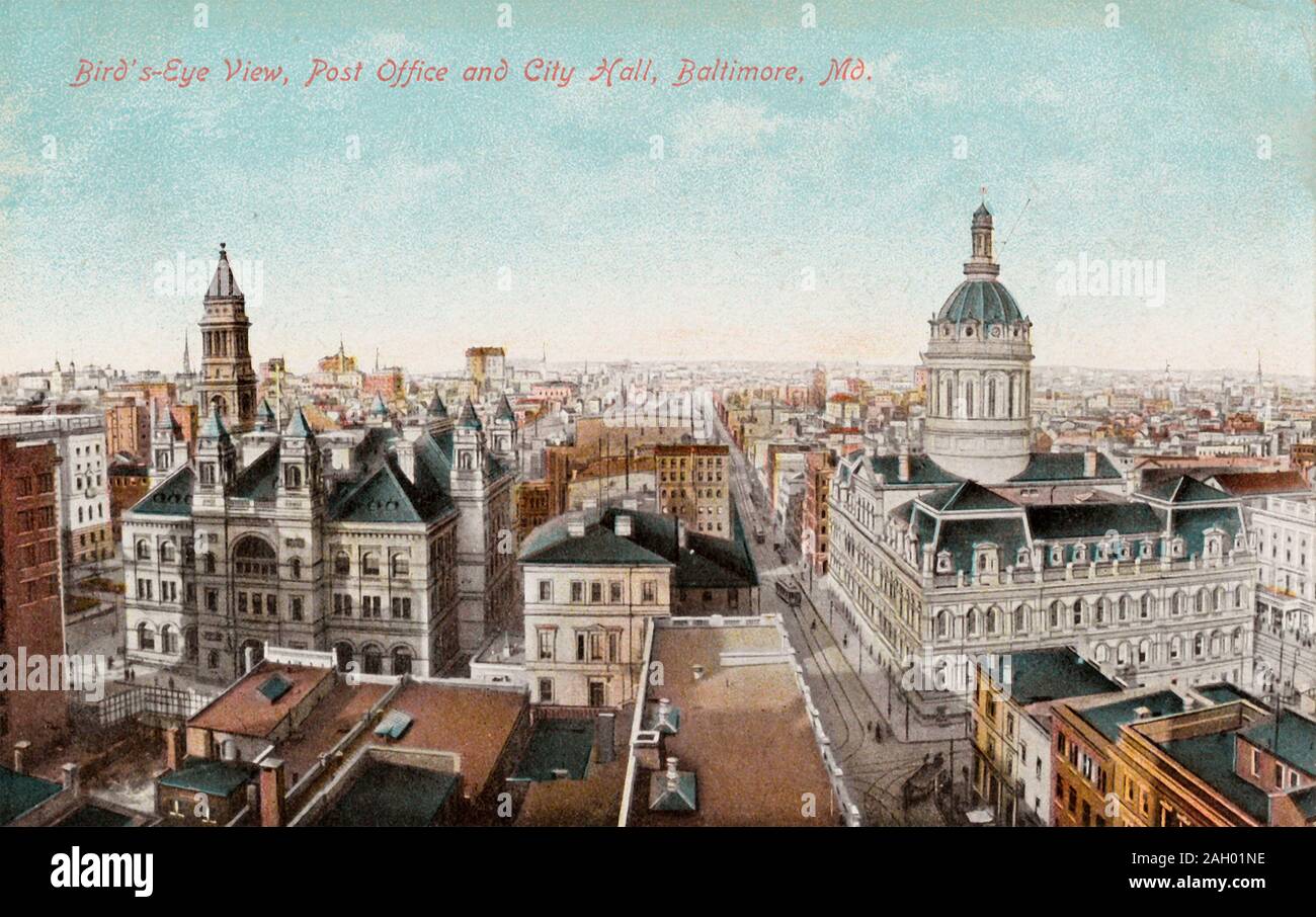 An aerial view of the Post Office and City Hall in downtown Baltimore, Maryland, circa 1907-1914. Stock Photohttps://www.alamy.com/image-license-details/?v=1https://www.alamy.com/an-aerial-view-of-the-post-office-and-city-hall-in-downtown-baltimore-maryland-circa-1907-1914-image337447530.html
RM2AH01NE–An aerial view of the Post Office and City Hall in downtown Baltimore, Maryland, circa 1907-1914.
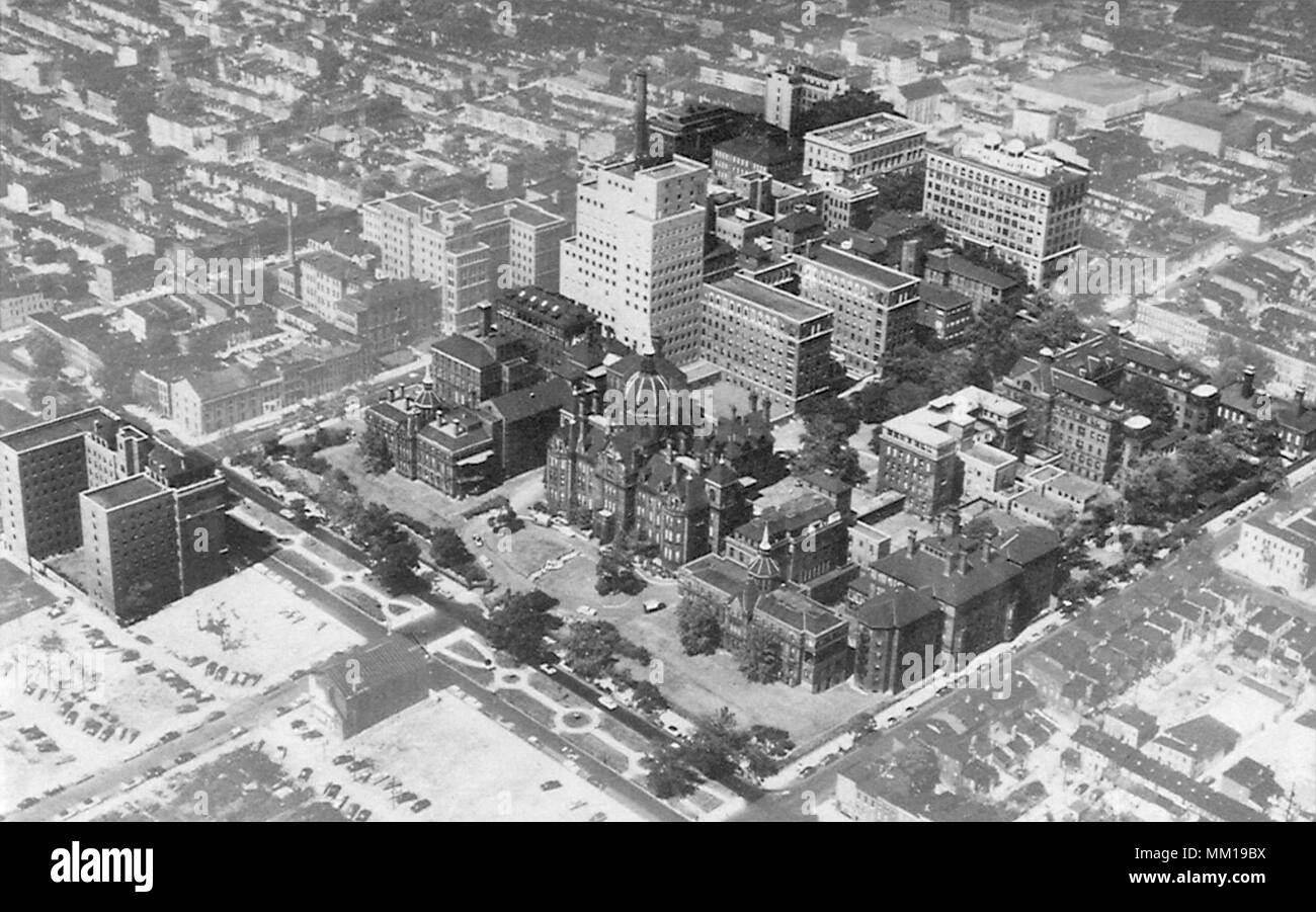 Aerial View of Johns Hopkins Medical Institutions. Baltimore Stock Photohttps://www.alamy.com/image-license-details/?v=1https://www.alamy.com/aerial-view-of-johns-hopkins-medical-institutions-baltimore-image184426142.html
RMMM19BX–Aerial View of Johns Hopkins Medical Institutions. Baltimore
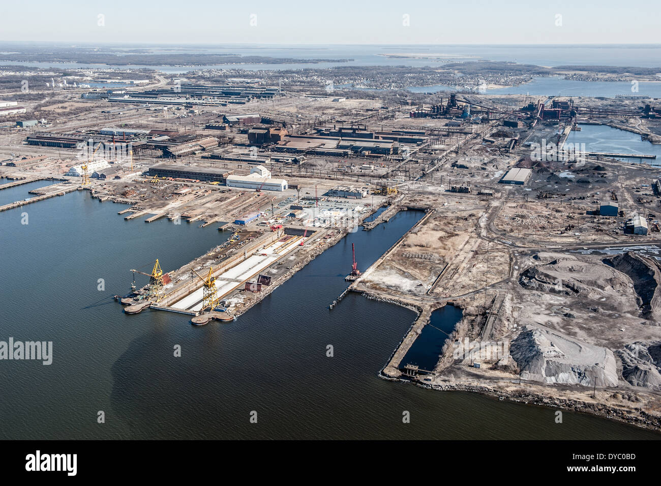 View of industry and commerce at the port of Baltimore from the sky Stock Photohttps://www.alamy.com/image-license-details/?v=1https://www.alamy.com/view-of-industry-and-commerce-at-the-port-of-baltimore-from-the-sky-image68490561.html
RMDYC0BD–View of industry and commerce at the port of Baltimore from the sky
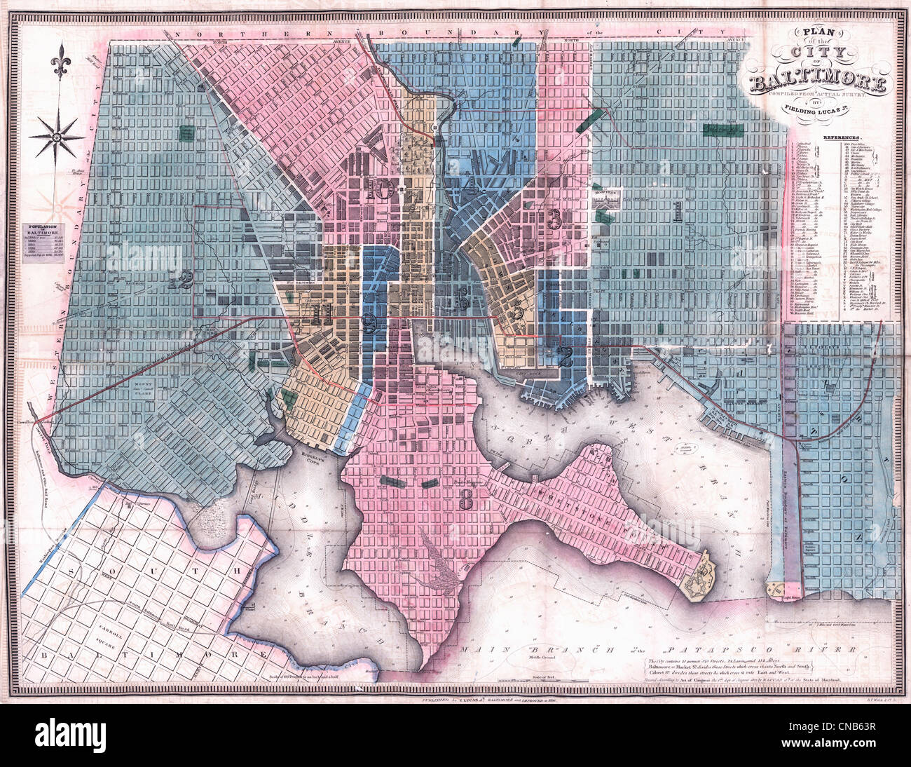 Plan of the city of Baltimore compiled from actual survey by Fielding Lucas, Jr., circa 1836 Stock Photohttps://www.alamy.com/image-license-details/?v=1https://www.alamy.com/stock-photo-plan-of-the-city-of-baltimore-compiled-from-actual-survey-by-fielding-47574795.html
RMCNB63R–Plan of the city of Baltimore compiled from actual survey by Fielding Lucas, Jr., circa 1836
 aerial shot of Baltimore, Md Stock Photohttps://www.alamy.com/image-license-details/?v=1https://www.alamy.com/aerial-shot-of-baltimore-md-image5566140.html
RMAYAPBD–aerial shot of Baltimore, Md
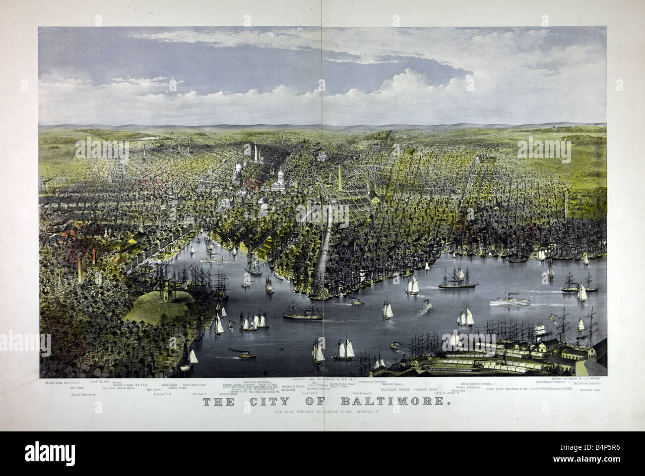 Aerial view of the City of Baltimore, c1880 Stock Photohttps://www.alamy.com/image-license-details/?v=1https://www.alamy.com/stock-photo-aerial-view-of-the-city-of-baltimore-c1880-20156506.html
RMB4P5R6–Aerial view of the City of Baltimore, c1880
 AJ13504, Baltimore, MD, Maryland Stock Photohttps://www.alamy.com/image-license-details/?v=1https://www.alamy.com/aj13504-baltimore-md-maryland-image700097.html
RMAAAEC1–AJ13504, Baltimore, MD, Maryland
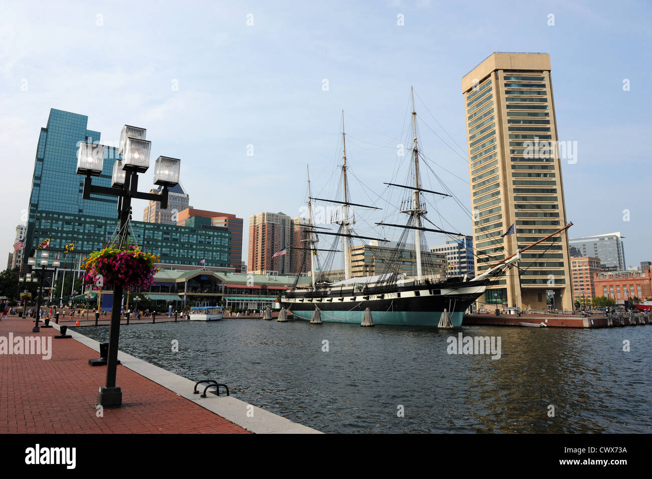 View of Baltimore Harbor with USS Constellation Ship and office buildings Stock Photohttps://www.alamy.com/image-license-details/?v=1https://www.alamy.com/stock-photo-view-of-baltimore-harbor-with-uss-constellation-ship-and-office-buildings-50363470.html
RFCWX73A–View of Baltimore Harbor with USS Constellation Ship and office buildings
 An aerial top view of a road and buildings near the shore in Baltimore Stock Photohttps://www.alamy.com/image-license-details/?v=1https://www.alamy.com/an-aerial-top-view-of-a-road-and-buildings-near-the-shore-in-baltimore-image523087615.html
RF2NB0KGF–An aerial top view of a road and buildings near the shore in Baltimore
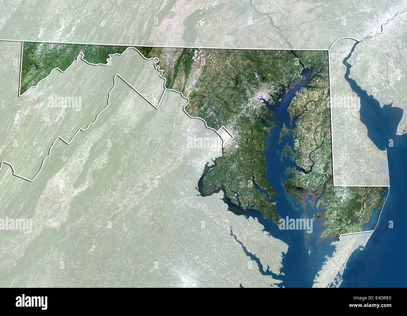 State of Maryland, United States, True Colour Satellite Image Stock Photohttps://www.alamy.com/image-license-details/?v=1https://www.alamy.com/stock-photo-state-of-maryland-united-states-true-colour-satellite-image-71603896.html
RME4DRE0–State of Maryland, United States, True Colour Satellite Image
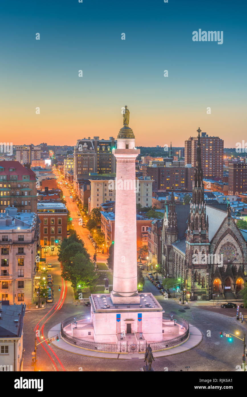 Baltimore, Maryland, USA cityscape at Mt. Vernon and the Washington Monument. Stock Photohttps://www.alamy.com/image-license-details/?v=1https://www.alamy.com/baltimore-maryland-usa-cityscape-at-mt-vernon-and-the-washington-monument-image235220665.html
RFRJK6A1–Baltimore, Maryland, USA cityscape at Mt. Vernon and the Washington Monument.
 United States and the State of Maryland, True Colour Satellite Image Stock Photohttps://www.alamy.com/image-license-details/?v=1https://www.alamy.com/stock-photo-united-states-and-the-state-of-maryland-true-colour-satellite-image-71608942.html
RME4E1X6–United States and the State of Maryland, True Colour Satellite Image
 View of Mount Vernon, in Baltimore, Maryland. Stock Photohttps://www.alamy.com/image-license-details/?v=1https://www.alamy.com/stock-photo-view-of-mount-vernon-in-baltimore-maryland-102016904.html
RMFWY7GT–View of Mount Vernon, in Baltimore, Maryland.
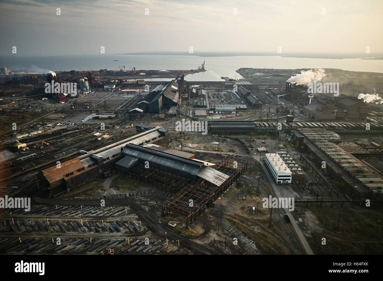 USA, Maryland, Aerial photograph of the old Sparrows Point steel mill in Baltimore Stock Photohttps://www.alamy.com/image-license-details/?v=1https://www.alamy.com/stock-photo-usa-maryland-aerial-photograph-of-the-old-sparrows-point-steel-mill-124260827.html
RFH64FXK–USA, Maryland, Aerial photograph of the old Sparrows Point steel mill in Baltimore
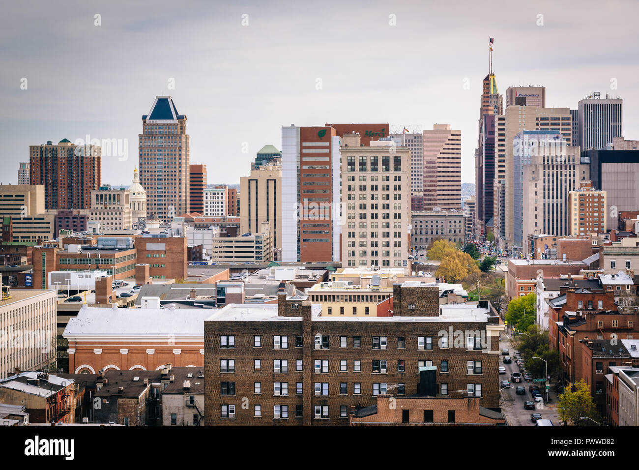 View of buildings in downtown Baltimore, Maryland. Stock Photohttps://www.alamy.com/image-license-details/?v=1https://www.alamy.com/stock-photo-view-of-buildings-in-downtown-baltimore-maryland-101977458.html
RMFWWD82–View of buildings in downtown Baltimore, Maryland.
RF2M6ME89–Drone aerial of Baltimore Beacon, a white tower at the entrance of the harbour. Baltimore Ireland landmark.
 Baltimore, Maryland, United States of America – September 7, 2016. View over Baltimore, MD, from the Washington Monument. View northward, with Washing Stock Photohttps://www.alamy.com/image-license-details/?v=1https://www.alamy.com/baltimore-maryland-united-states-of-america-september-7-2016-view-over-baltimore-md-from-the-washington-monument-view-northward-with-washing-image453009647.html
RF2H90ABY–Baltimore, Maryland, United States of America – September 7, 2016. View over Baltimore, MD, from the Washington Monument. View northward, with Washing
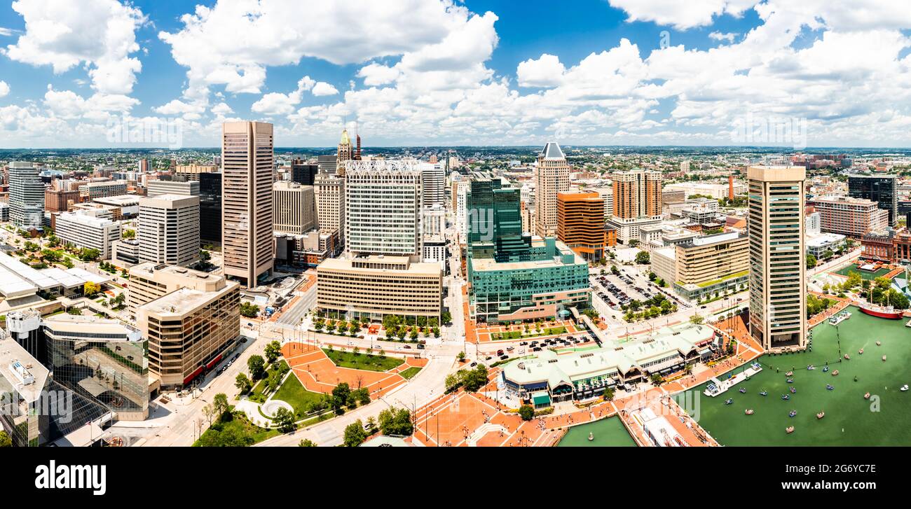 Aerial panorama of Baltimore skyline Stock Photohttps://www.alamy.com/image-license-details/?v=1https://www.alamy.com/aerial-panorama-of-baltimore-skyline-image434549458.html
RF2G6YC7E–Aerial panorama of Baltimore skyline
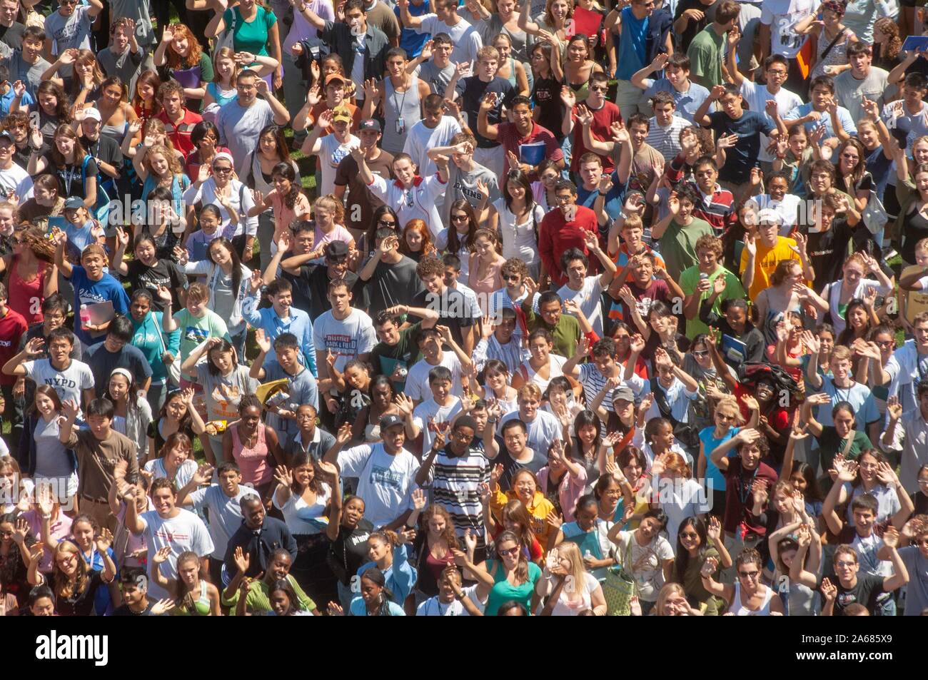 Bird's-eye view, on a sunny day, of a crowd of freshman students standing close together and waving at the camera during a college orientation week event, at the Johns Hopkins University, Baltimore, Maryland, September 4, 2006. From the Homewood Photography Collection. () Stock Photohttps://www.alamy.com/image-license-details/?v=1https://www.alamy.com/birds-eye-view-on-a-sunny-day-of-a-crowd-of-freshman-students-standing-close-together-and-waving-at-the-camera-during-a-college-orientation-week-event-at-the-johns-hopkins-university-baltimore-maryland-september-4-2006-from-the-homewood-photography-collection-image330865201.html
RM2A685X9–Bird's-eye view, on a sunny day, of a crowd of freshman students standing close together and waving at the camera during a college orientation week event, at the Johns Hopkins University, Baltimore, Maryland, September 4, 2006. From the Homewood Photography Collection. ()
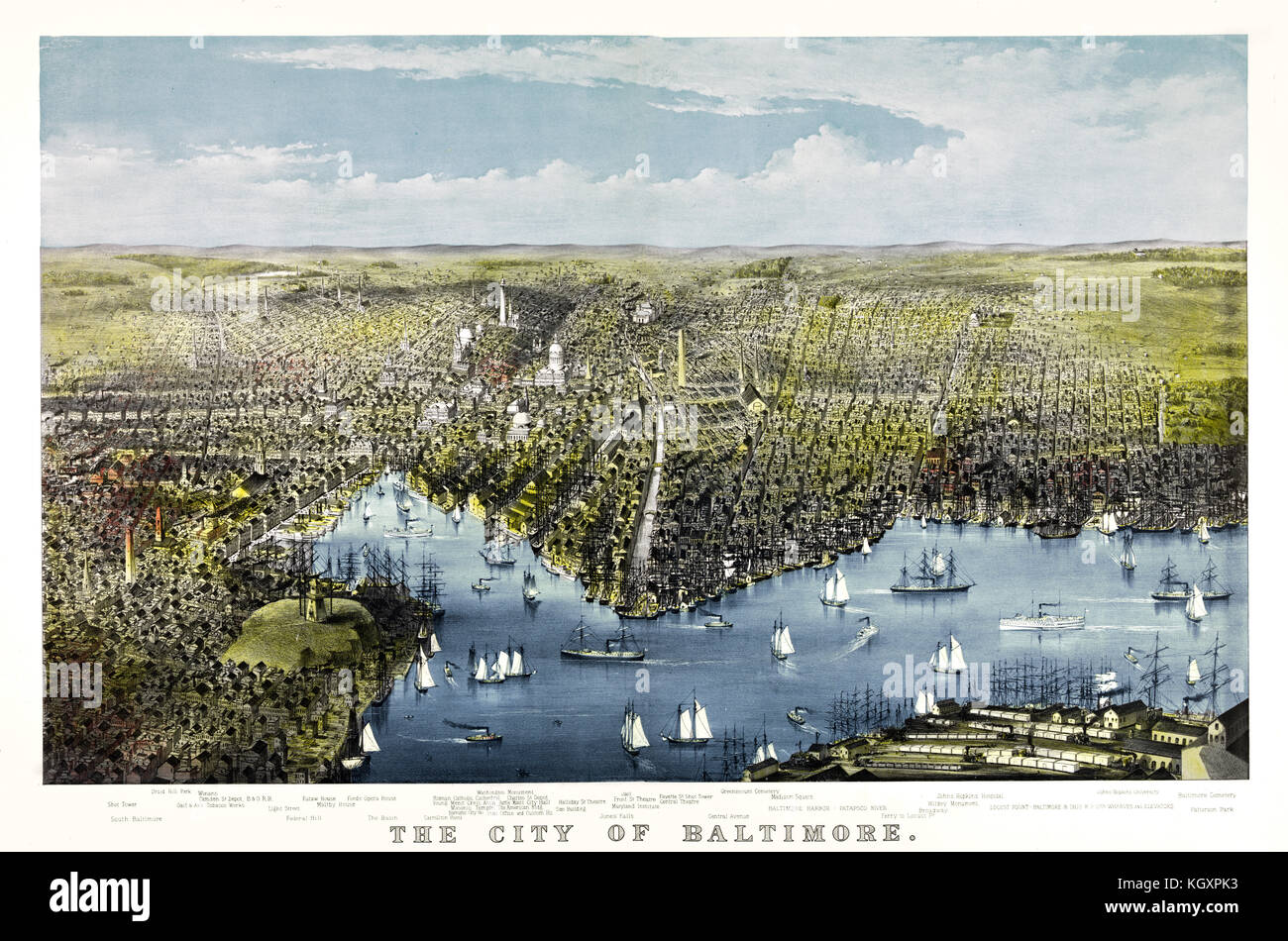 Old bird's-eye view of Baltimore, Maryland. By Parsons, publ. in New York ca. 1880 Stock Photohttps://www.alamy.com/image-license-details/?v=1https://www.alamy.com/stock-image-old-birds-eye-view-of-baltimore-maryland-by-parsons-publ-in-new-york-165316343.html
RFKGXPK3–Old bird's-eye view of Baltimore, Maryland. By Parsons, publ. in New York ca. 1880
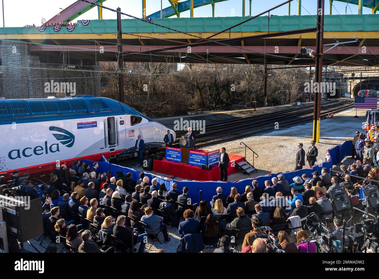 Baltimore, United States of America. 30 January, 2023. U.S President Joe Biden delivers remarks during an event announcing the replacement of the 150-year-old Baltimore and Potomac Tunnel at the Falls Road Amtrak maintenance building, January 30, 2023 in Baltimore, Maryland. Credit: Adam Schultz/White House Photo/Alamy Live News Stock Photohttps://www.alamy.com/image-license-details/?v=1https://www.alamy.com/baltimore-united-states-of-america-30-january-2023-us-president-joe-biden-delivers-remarks-during-an-event-announcing-the-replacement-of-the-150-year-old-baltimore-and-potomac-tunnel-at-the-falls-road-amtrak-maintenance-building-january-30-2023-in-baltimore-maryland-credit-adam-schultzwhite-house-photoalamy-live-news-image514697486.html
RM2MWADW2–Baltimore, United States of America. 30 January, 2023. U.S President Joe Biden delivers remarks during an event announcing the replacement of the 150-year-old Baltimore and Potomac Tunnel at the Falls Road Amtrak maintenance building, January 30, 2023 in Baltimore, Maryland. Credit: Adam Schultz/White House Photo/Alamy Live News
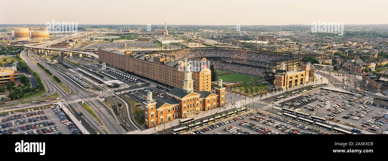 Aerial view of a baseball stadium in a city, Oriole Park at Camden Yards, Baltimore, Maryland, USA Stock Photohttps://www.alamy.com/image-license-details/?v=1https://www.alamy.com/aerial-view-of-a-baseball-stadium-in-a-city-oriole-park-at-camden-yards-baltimore-maryland-usa-image343306107.html
RM2AXEXCB–Aerial view of a baseball stadium in a city, Oriole Park at Camden Yards, Baltimore, Maryland, USA
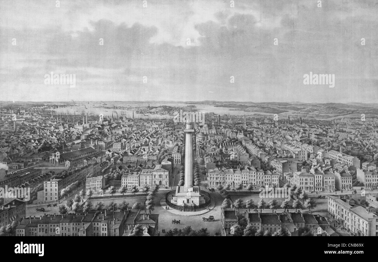 The city of Baltimore City, Maryland in 1880 : View from Washington Monument looking south Stock Photohttps://www.alamy.com/image-license-details/?v=1https://www.alamy.com/stock-photo-the-city-of-baltimore-city-maryland-in-1880-view-from-washington-monument-47574966.html
RMCNB69X–The city of Baltimore City, Maryland in 1880 : View from Washington Monument looking south
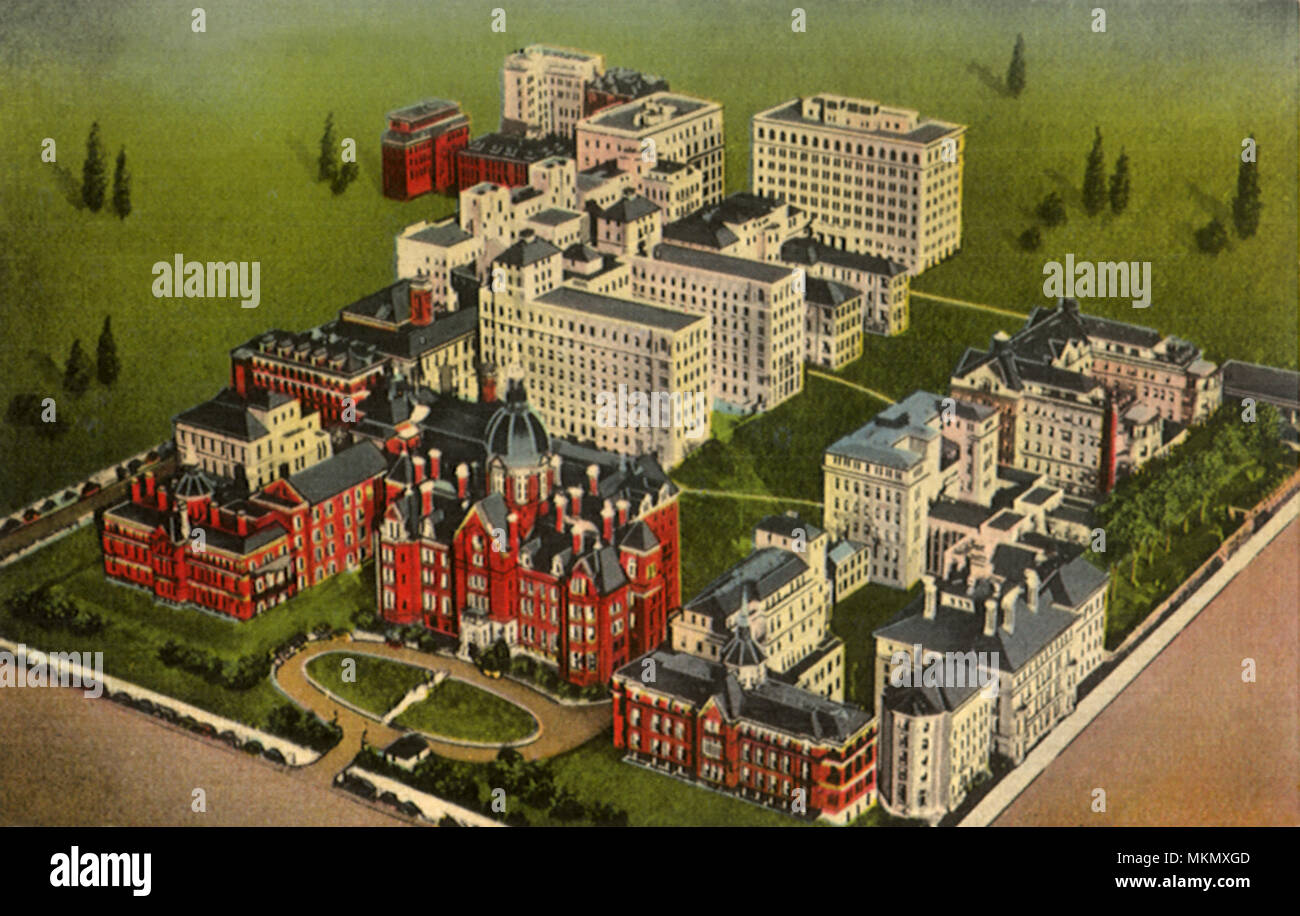 Johns Hopkins Hospital. Baltimore. Stock Photohttps://www.alamy.com/image-license-details/?v=1https://www.alamy.com/johns-hopkins-hospital-baltimore-image184242029.html
RMMKMXGD–Johns Hopkins Hospital. Baltimore.
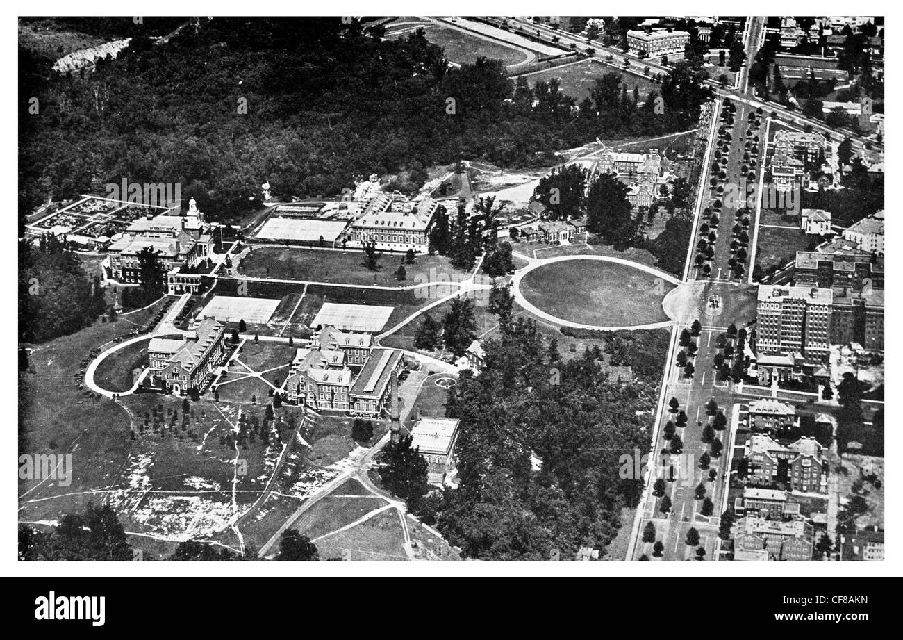 1927 Johns Hopkins University Baltimore aerial view USA Stock Photohttps://www.alamy.com/image-license-details/?v=1https://www.alamy.com/stock-photo-1927-johns-hopkins-university-baltimore-aerial-view-usa-43824585.html
RFCF8AKN–1927 Johns Hopkins University Baltimore aerial view USA
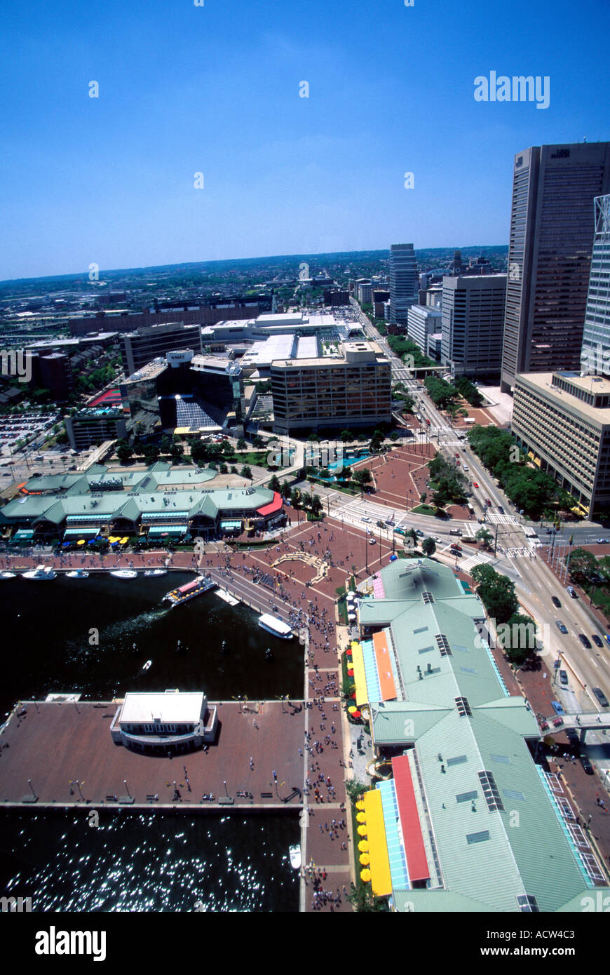 Aerial view of Baltimore Inner Harbor Baltimore Maryland USA Stock Photohttps://www.alamy.com/image-license-details/?v=1https://www.alamy.com/aerial-view-of-baltimore-inner-harbor-baltimore-maryland-usa-image2462914.html
RFACW4C3–Aerial view of Baltimore Inner Harbor Baltimore Maryland USA
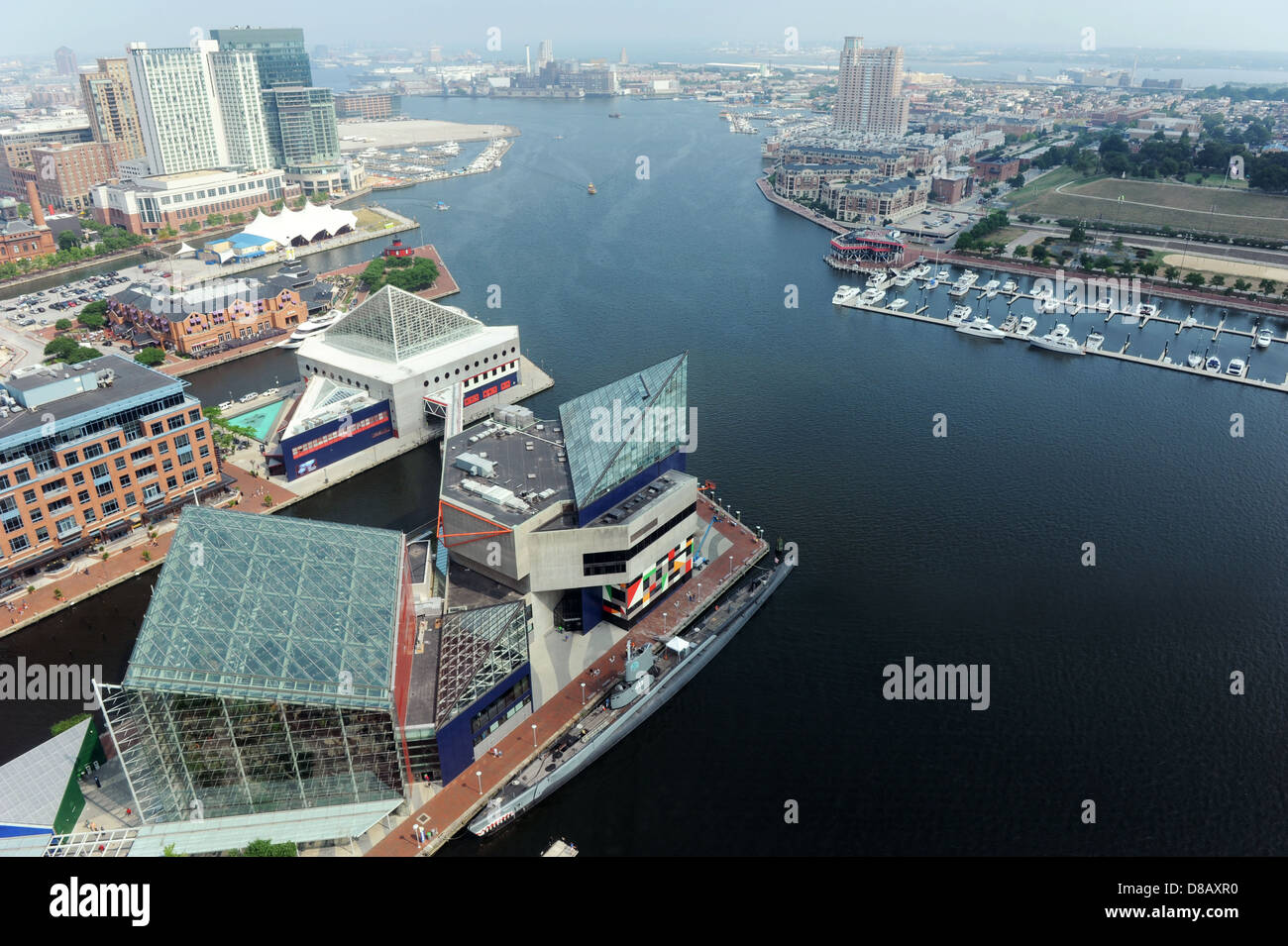 Aerial view of Baltimore Harbor on a sunny day Stock Photohttps://www.alamy.com/image-license-details/?v=1https://www.alamy.com/stock-photo-aerial-view-of-baltimore-harbor-on-a-sunny-day-56788900.html
RFD8AXR0–Aerial view of Baltimore Harbor on a sunny day
 An aerial view of the modern skyline of Baltimore near the water Stock Photohttps://www.alamy.com/image-license-details/?v=1https://www.alamy.com/an-aerial-view-of-the-modern-skyline-of-baltimore-near-the-water-image523087613.html
RF2NB0KGD–An aerial view of the modern skyline of Baltimore near the water
RF2JJHBR2–Drone aerial of Baltimore Beacon, a white tower at the entrance of the harbour. Baltimore Ireland landmark.
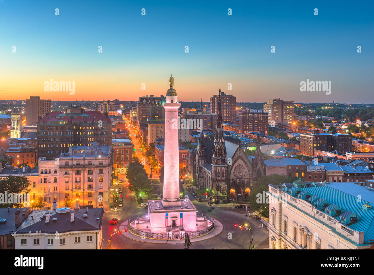 Baltimore, Maryland, USA cityscape at Mt. Vernon and the Washington Monument. Stock Photohttps://www.alamy.com/image-license-details/?v=1https://www.alamy.com/baltimore-maryland-usa-cityscape-at-mt-vernon-and-the-washington-monument-image235195115.html
RFRJJ1NF–Baltimore, Maryland, USA cityscape at Mt. Vernon and the Washington Monument.
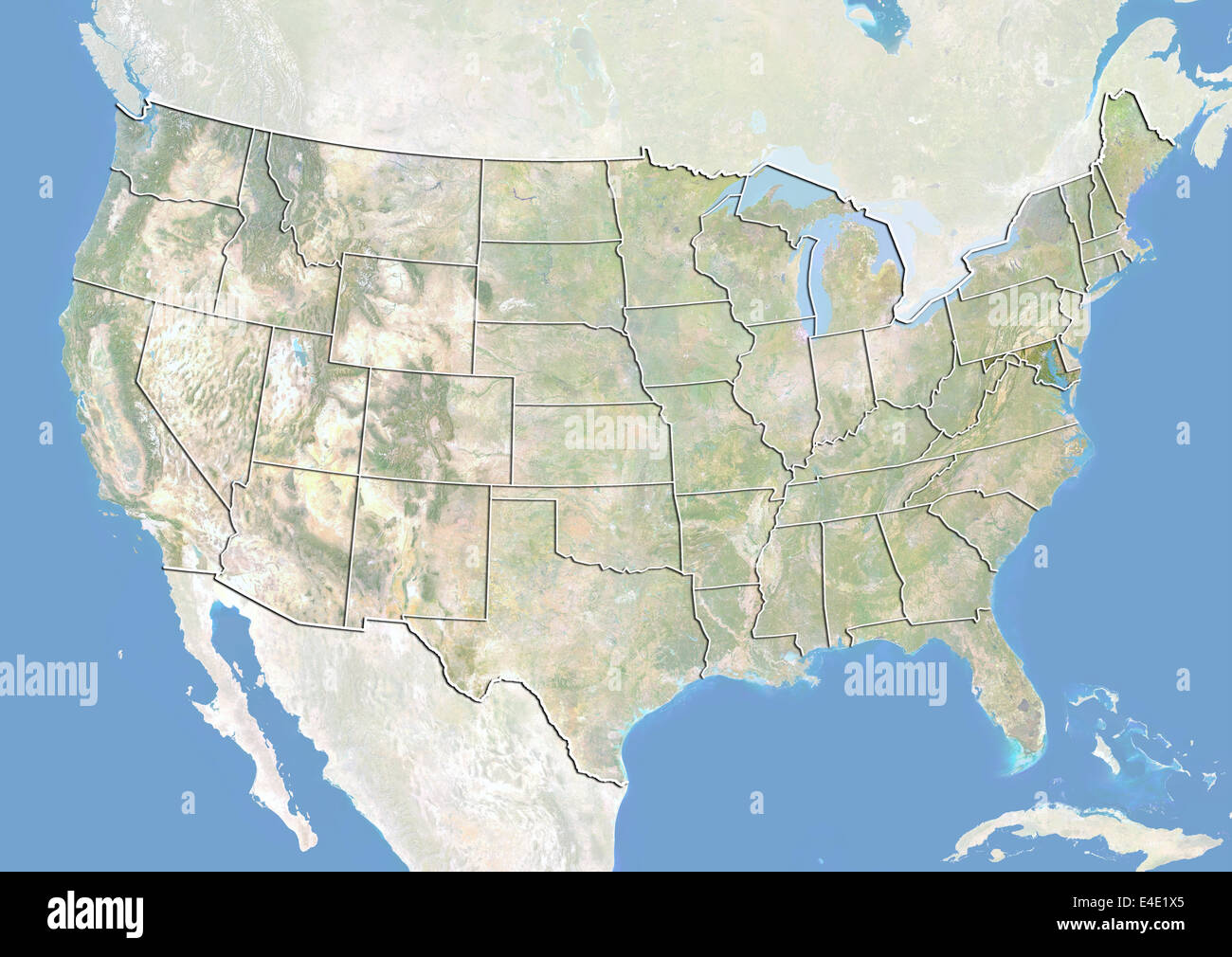 United States and the State of Maryland, Satellite Image With Bump Effect Stock Photohttps://www.alamy.com/image-license-details/?v=1https://www.alamy.com/stock-photo-united-states-and-the-state-of-maryland-satellite-image-with-bump-71608941.html
RME4E1X5–United States and the State of Maryland, Satellite Image With Bump Effect
 Aerial view over the downtown metro city center area of Baltimore Maryland Stock Photohttps://www.alamy.com/image-license-details/?v=1https://www.alamy.com/aerial-view-over-the-downtown-metro-city-center-area-of-baltimore-maryland-image628686085.html
RF2YER3ED–Aerial view over the downtown metro city center area of Baltimore Maryland
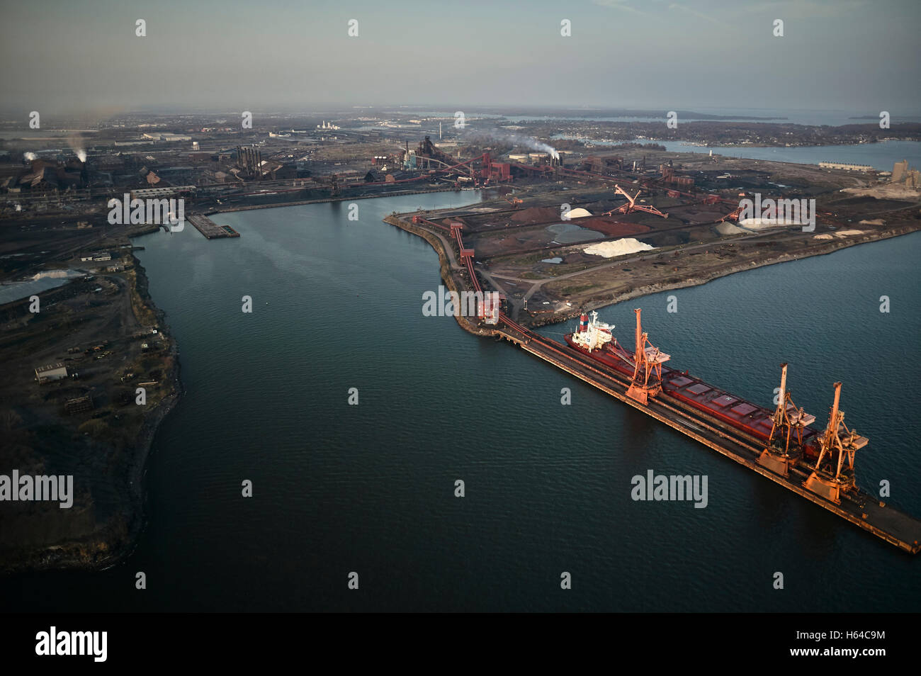 USA, Maryland, Aerial photograph of the old Sparrows Point steel mill and boat works in Baltimore Stock Photohttps://www.alamy.com/image-license-details/?v=1https://www.alamy.com/stock-photo-usa-maryland-aerial-photograph-of-the-old-sparrows-point-steel-mill-124258000.html
RFH64C9M–USA, Maryland, Aerial photograph of the old Sparrows Point steel mill and boat works in Baltimore
 View of buildings in Mount Vernon, Baltimore, Maryland. Stock Photohttps://www.alamy.com/image-license-details/?v=1https://www.alamy.com/stock-photo-view-of-buildings-in-mount-vernon-baltimore-maryland-101979338.html
RMFWWFK6–View of buildings in Mount Vernon, Baltimore, Maryland.
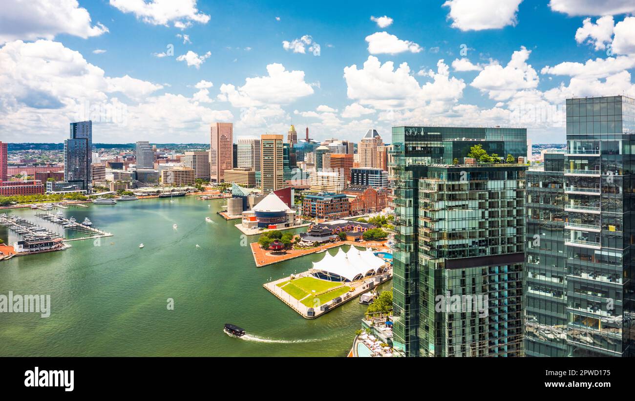 Aerial view of Baltimore skyline Stock Photohttps://www.alamy.com/image-license-details/?v=1https://www.alamy.com/aerial-view-of-baltimore-skyline-image549174169.html
RF2PWD175–Aerial view of Baltimore skyline
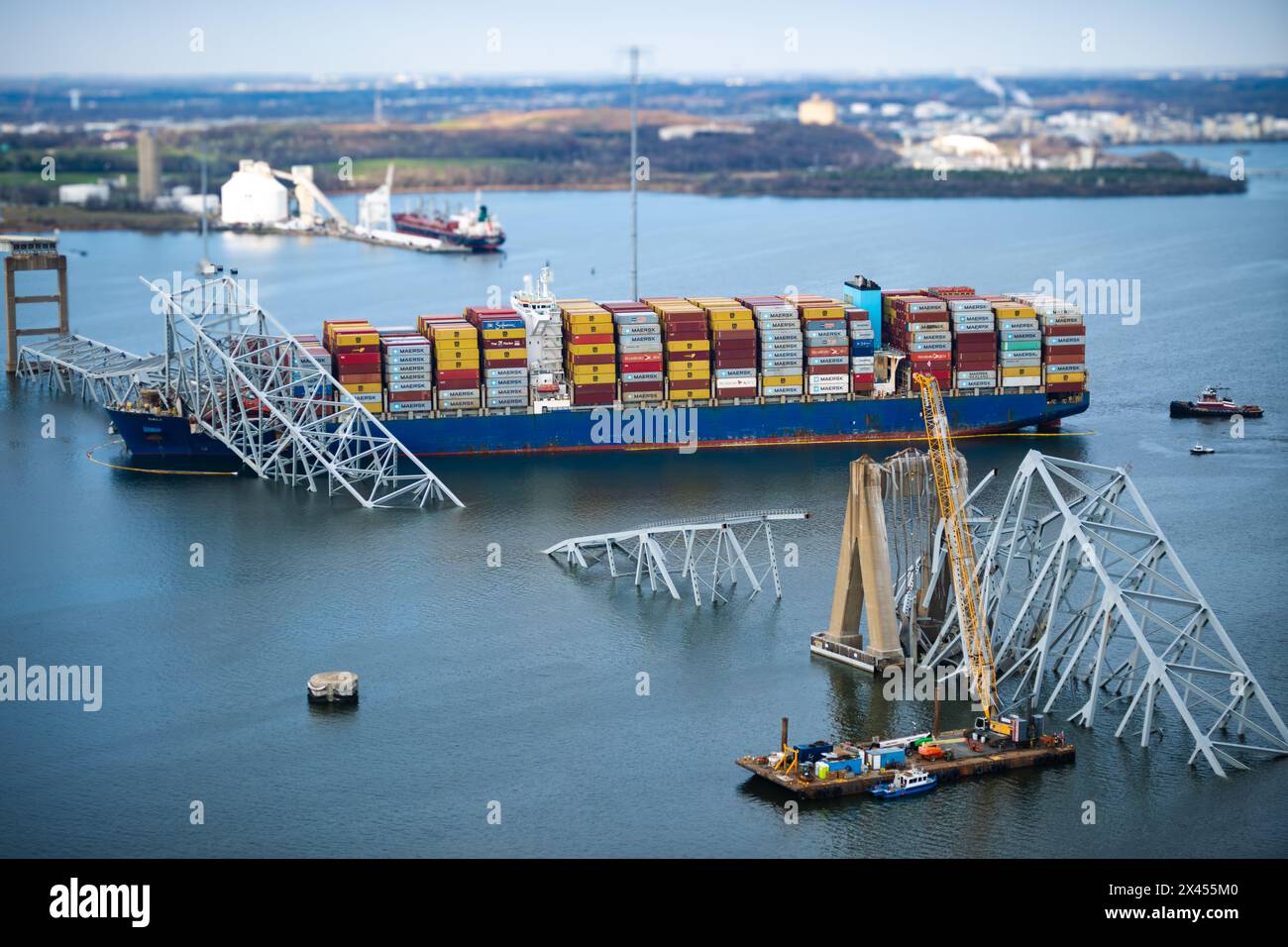 Dundalk, United States of America. 29 March, 2024. View from a Coast Guard MH-60 Jayhawk helicopter of the entangled cargo carrier MV Dali encased in the steel trusses of the collapsed Francis Scott Key Bridge blocking the Fort McHenry channel, March 29, 2024, near Dundalk, Maryland. The bridge was struck by the 984-foot container ship on March 26th and collapsed killing six workers. Credit: PO1 Brandon Giles/US Coast Guard/Alamy Live News Stock Photohttps://www.alamy.com/image-license-details/?v=1https://www.alamy.com/dundalk-united-states-of-america-29-march-2024-view-from-a-coast-guard-mh-60-jayhawk-helicopter-of-the-entangled-cargo-carrier-mv-dali-encased-in-the-steel-trusses-of-the-collapsed-francis-scott-key-bridge-blocking-the-fort-mchenry-channel-march-29-2024-near-dundalk-maryland-the-bridge-was-struck-by-the-984-foot-container-ship-on-march-26th-and-collapsed-killing-six-workers-credit-po1-brandon-gilesus-coast-guardalamy-live-news-image604935744.html
RM2X455M0–Dundalk, United States of America. 29 March, 2024. View from a Coast Guard MH-60 Jayhawk helicopter of the entangled cargo carrier MV Dali encased in the steel trusses of the collapsed Francis Scott Key Bridge blocking the Fort McHenry channel, March 29, 2024, near Dundalk, Maryland. The bridge was struck by the 984-foot container ship on March 26th and collapsed killing six workers. Credit: PO1 Brandon Giles/US Coast Guard/Alamy Live News
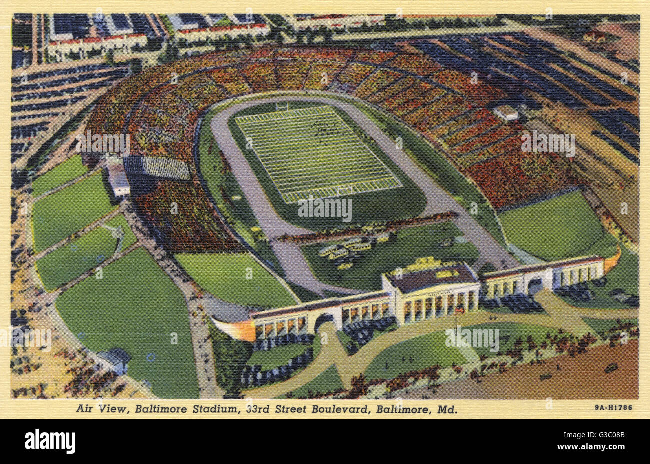 Municipal Stadium, Baltimore, Maryland, USA Stock Photohttps://www.alamy.com/image-license-details/?v=1https://www.alamy.com/stock-photo-municipal-stadium-baltimore-maryland-usa-105369835.html
RMG3C08B–Municipal Stadium, Baltimore, Maryland, USA
 Bird's-eye view, on a sunny day, of a crowd of freshman students standing close together and waving at the camera during a college orientation week event, at the Johns Hopkins University, Baltimore, Maryland, September 4, 2006. From the Homewood Photography Collection. () Stock Photohttps://www.alamy.com/image-license-details/?v=1https://www.alamy.com/birds-eye-view-on-a-sunny-day-of-a-crowd-of-freshman-students-standing-close-together-and-waving-at-the-camera-during-a-college-orientation-week-event-at-the-johns-hopkins-university-baltimore-maryland-september-4-2006-from-the-homewood-photography-collection-image330865235.html
RM2A685YF–Bird's-eye view, on a sunny day, of a crowd of freshman students standing close together and waving at the camera during a college orientation week event, at the Johns Hopkins University, Baltimore, Maryland, September 4, 2006. From the Homewood Photography Collection. ()
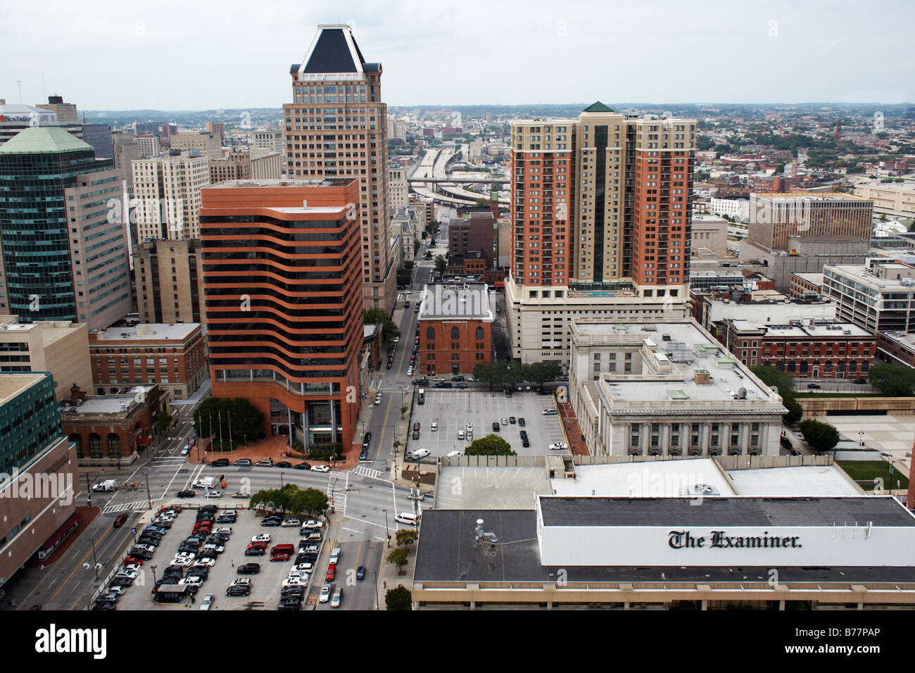 View facing north from the Top of the World 27th floor World Trade Center Baltimore Maryland Stock Photohttps://www.alamy.com/image-license-details/?v=1https://www.alamy.com/stock-photo-view-facing-north-from-the-top-of-the-world-27th-floor-world-trade-21684174.html
RMB77PAP–View facing north from the Top of the World 27th floor World Trade Center Baltimore Maryland
 Aerial view over the downtown metro city center area of Baltimore Maryland Stock Photohttps://www.alamy.com/image-license-details/?v=1https://www.alamy.com/aerial-view-over-the-downtown-metro-city-center-area-of-baltimore-maryland-image328408008.html
RF2A287NC–Aerial view over the downtown metro city center area of Baltimore Maryland
 Cityscape of the Inner Harbor in Baltimore includes the USCG Lightship Chesapeake ship and the National Aquarium. Stock Photohttps://www.alamy.com/image-license-details/?v=1https://www.alamy.com/cityscape-of-the-inner-harbor-in-baltimore-includes-the-uscg-lightship-chesapeake-ship-and-the-national-aquarium-image640792451.html
RF2S6EH8K–Cityscape of the Inner Harbor in Baltimore includes the USCG Lightship Chesapeake ship and the National Aquarium.
 The city of Baltimore City, Maryland in 1880 : View from Washington Monument looking south Stock Photohttps://www.alamy.com/image-license-details/?v=1https://www.alamy.com/stock-photo-the-city-of-baltimore-city-maryland-in-1880-view-from-washington-monument-47574884.html
RMCNB670–The city of Baltimore City, Maryland in 1880 : View from Washington Monument looking south
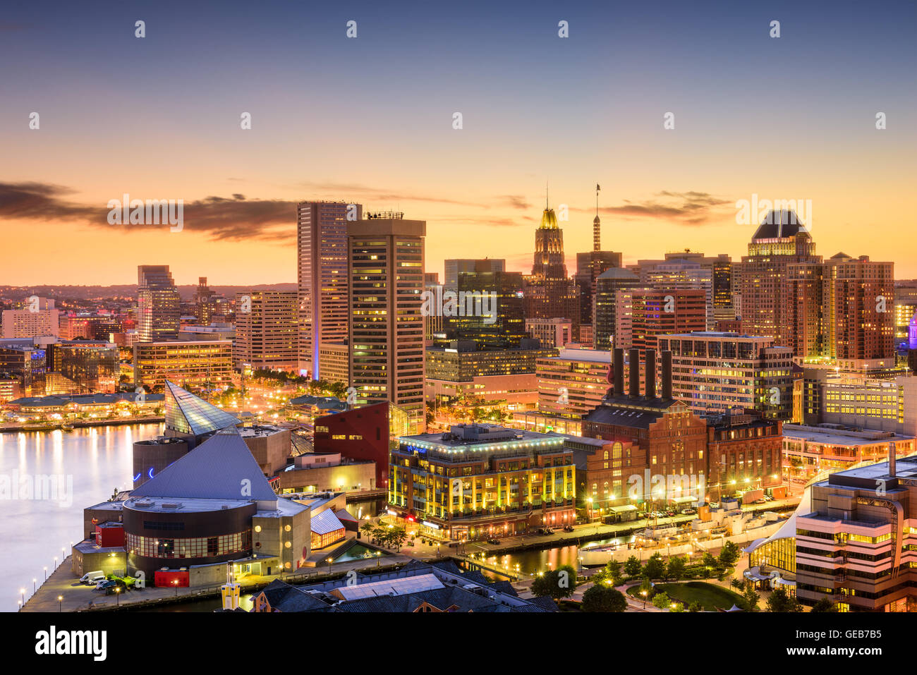 Baltimore, Maryland, USA downtown skyline. Stock Photohttps://www.alamy.com/image-license-details/?v=1https://www.alamy.com/stock-photo-baltimore-maryland-usa-downtown-skyline-112114665.html
RFGEB7B5–Baltimore, Maryland, USA downtown skyline.
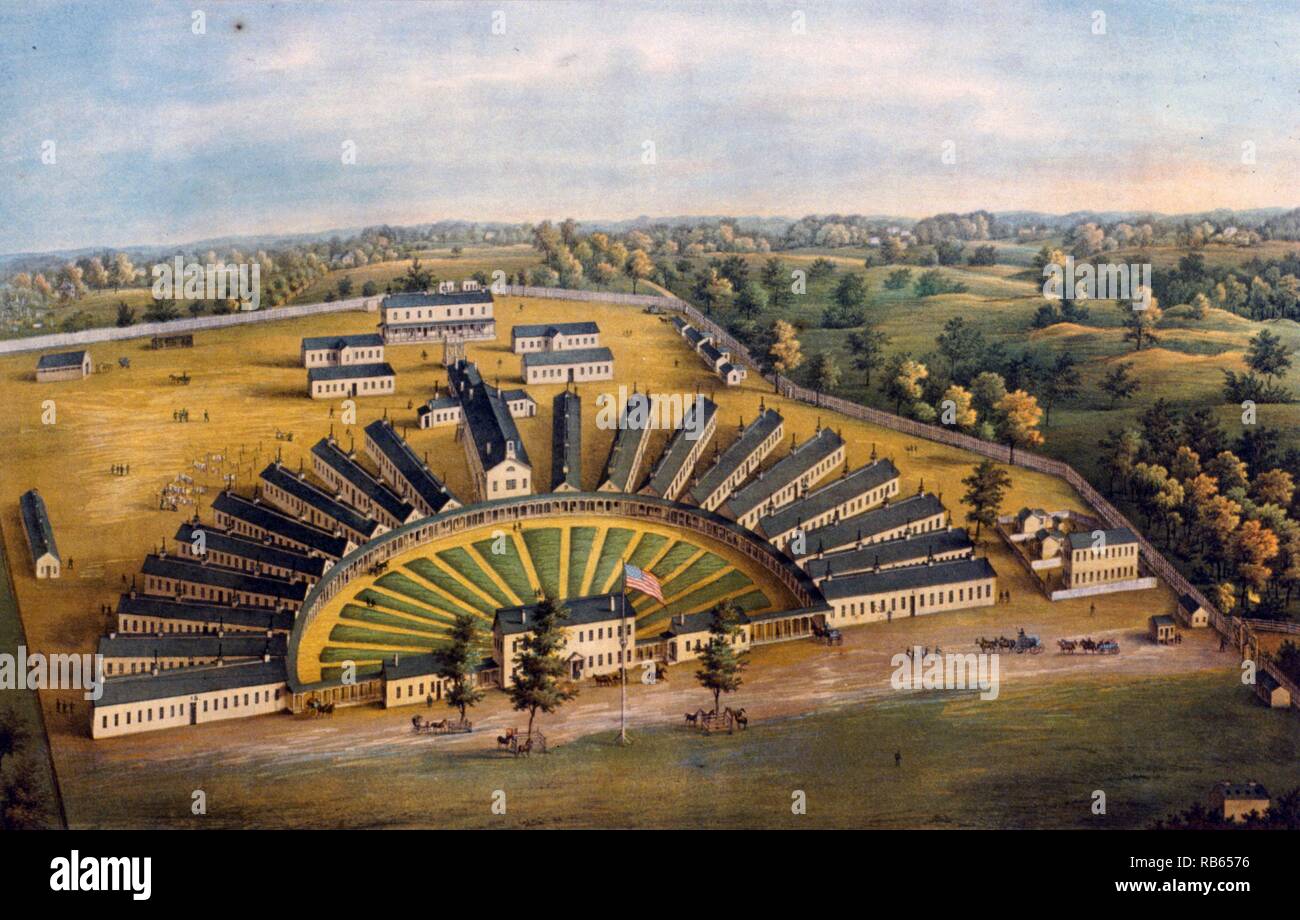 Hicks U.S. Genl. Hospital, Baltimore, Md. during the American Civil War. Stock Photohttps://www.alamy.com/image-license-details/?v=1https://www.alamy.com/hicks-us-genl-hospital-baltimore-md-during-the-american-civil-war-image230631834.html
RMRB6576–Hicks U.S. Genl. Hospital, Baltimore, Md. during the American Civil War.
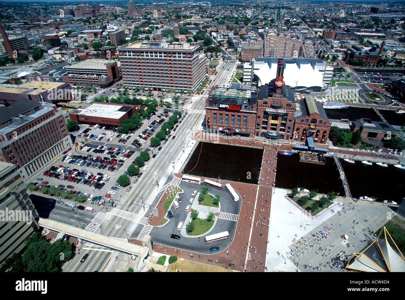 Aerial view of Baltimore Maryland Stock Photohttps://www.alamy.com/image-license-details/?v=1https://www.alamy.com/aerial-view-of-baltimore-maryland-image2462931.html
RFACW4D4–Aerial view of Baltimore Maryland
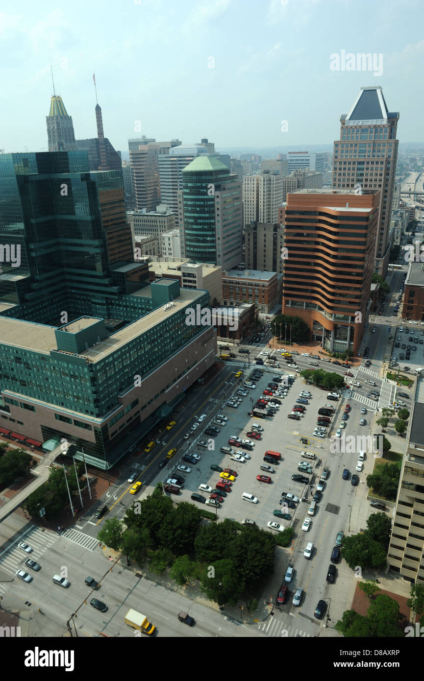 Aerial view of Downtown Baltimore on a sunny day Stock Photohttps://www.alamy.com/image-license-details/?v=1https://www.alamy.com/stock-photo-aerial-view-of-downtown-baltimore-on-a-sunny-day-56788922.html
RFD8AXRP–Aerial view of Downtown Baltimore on a sunny day
 An aerial view of the Baltimore skyline near the shore at sunset Stock Photohttps://www.alamy.com/image-license-details/?v=1https://www.alamy.com/an-aerial-view-of-the-baltimore-skyline-near-the-shore-at-sunset-image523086025.html
RF2NB0HFN–An aerial view of the Baltimore skyline near the shore at sunset
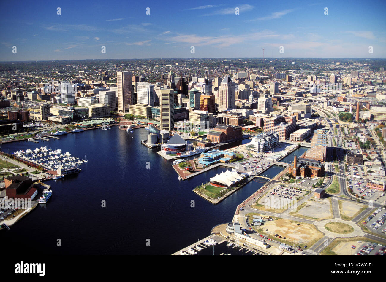 United States, Maryland, Baltimore (aerial view) Stock Photohttps://www.alamy.com/image-license-details/?v=1https://www.alamy.com/united-states-maryland-baltimore-aerial-view-image6810925.html
RMA7WGJE–United States, Maryland, Baltimore (aerial view)
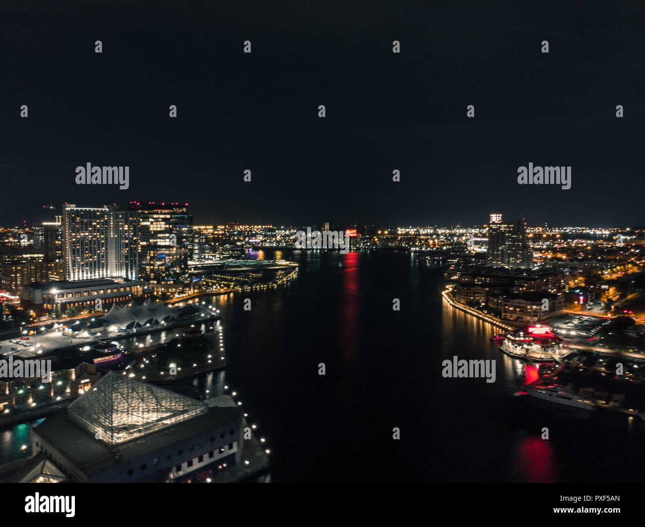 Aerial view of the Baltimore Inner Harbor at night. Stock Photohttps://www.alamy.com/image-license-details/?v=1https://www.alamy.com/aerial-view-of-the-baltimore-inner-harbor-at-night-image222838973.html
RFPXF5AN–Aerial view of the Baltimore Inner Harbor at night.
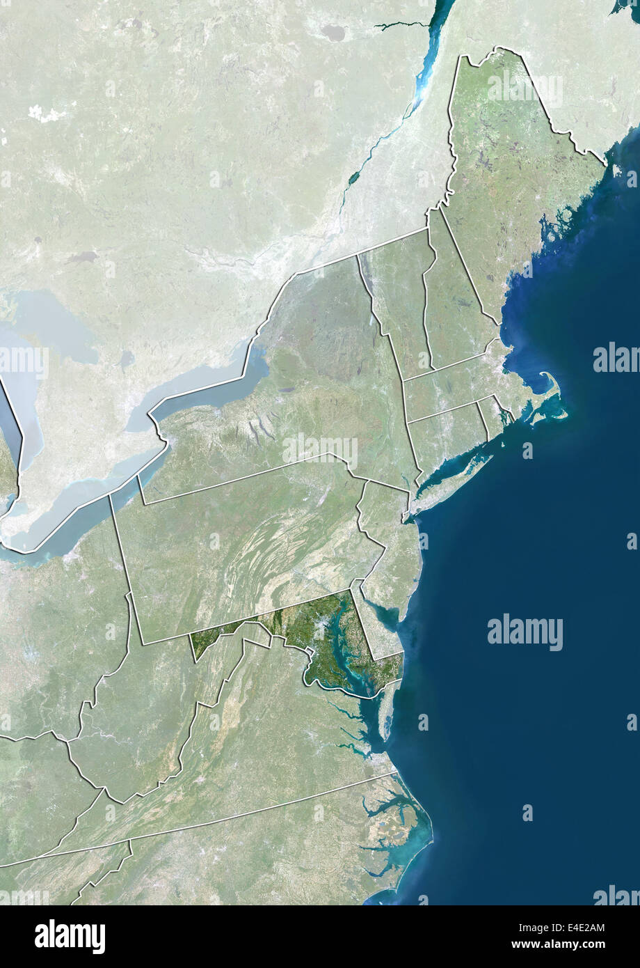 State of Maryland and Northeastern United States, True Colour Satellite Image Stock Photohttps://www.alamy.com/image-license-details/?v=1https://www.alamy.com/stock-photo-state-of-maryland-and-northeastern-united-states-true-colour-satellite-71609292.html
RME4E2AM–State of Maryland and Northeastern United States, True Colour Satellite Image
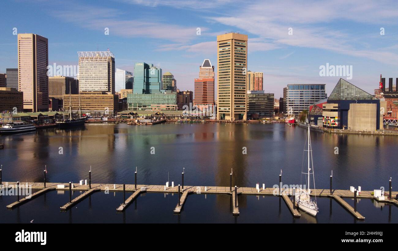 An aerial view of Baltimore harbor, December 2021. Stock Photohttps://www.alamy.com/image-license-details/?v=1https://www.alamy.com/an-aerial-view-of-baltimore-harbor-december-2021-image458137194.html
RF2HH9XJJ–An aerial view of Baltimore harbor, December 2021.
 State of Maryland, United States, Relief Map Stock Photohttps://www.alamy.com/image-license-details/?v=1https://www.alamy.com/stock-photo-state-of-maryland-united-states-relief-map-71603894.html
RME4DRDX–State of Maryland, United States, Relief Map
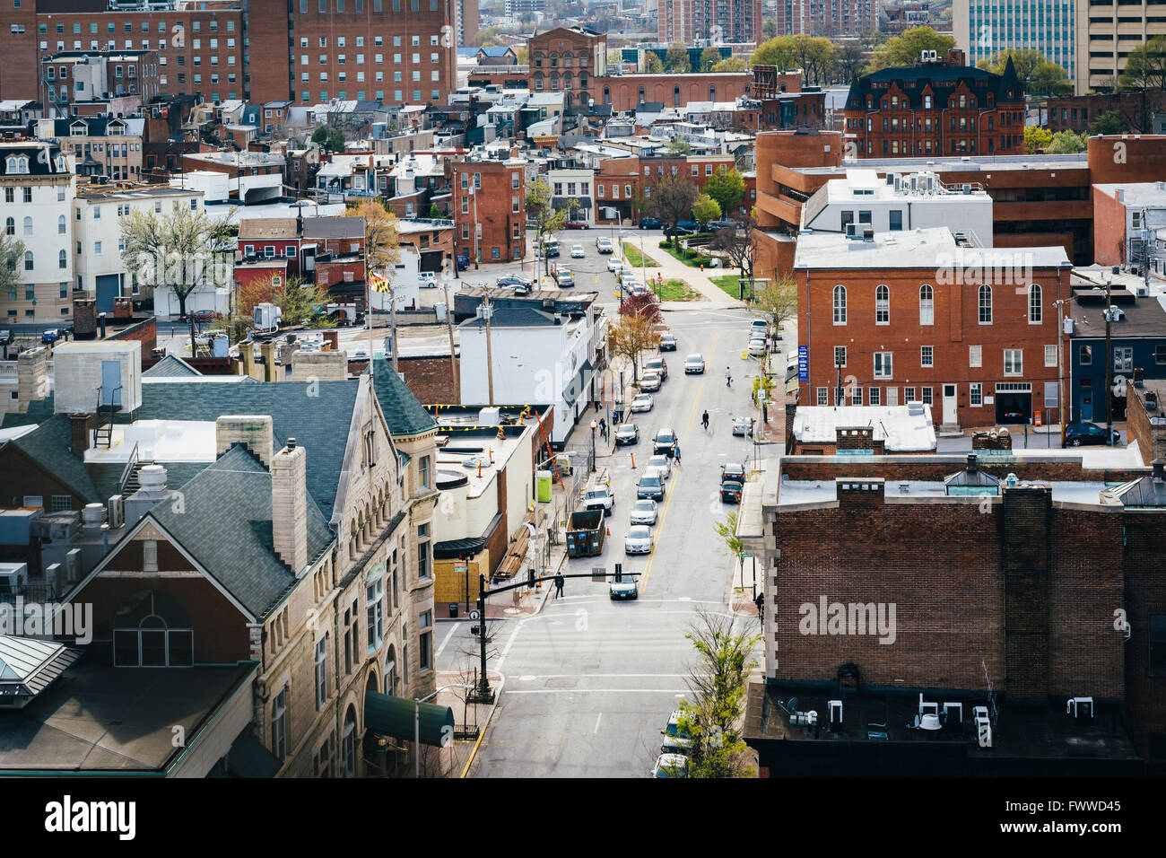 View of Eager Street, in Mount Vernon, Baltimore, Maryland. Stock Photohttps://www.alamy.com/image-license-details/?v=1https://www.alamy.com/stock-photo-view-of-eager-street-in-mount-vernon-baltimore-maryland-101977349.html
RMFWWD45–View of Eager Street, in Mount Vernon, Baltimore, Maryland.
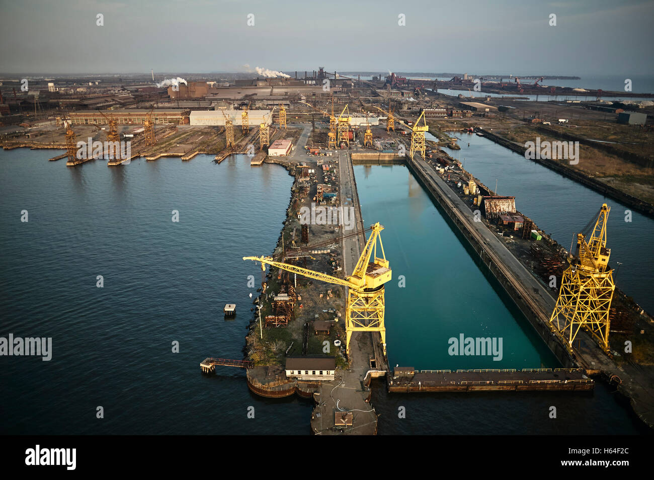 USA, Maryland, Aerial photograph of the old Sparrows Point steel mill and boat works in Baltimore Stock Photohttps://www.alamy.com/image-license-details/?v=1https://www.alamy.com/stock-photo-usa-maryland-aerial-photograph-of-the-old-sparrows-point-steel-mill-124260148.html
RFH64F2C–USA, Maryland, Aerial photograph of the old Sparrows Point steel mill and boat works in Baltimore
 Row houses churches parks and businesses exist in the expansive city of Baltimore Stock Photohttps://www.alamy.com/image-license-details/?v=1https://www.alamy.com/row-houses-churches-parks-and-businesses-exist-in-the-expansive-city-of-baltimore-image329949672.html
RF2A4PE4T–Row houses churches parks and businesses exist in the expansive city of Baltimore
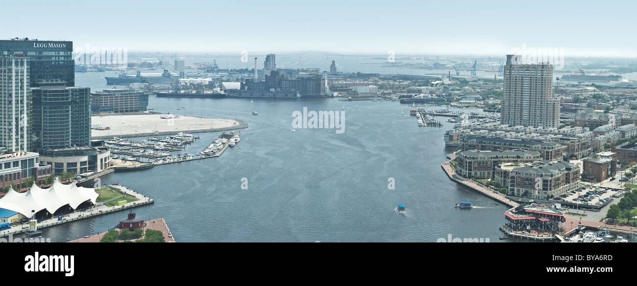 Panorama View of the Inner Harbor of Baltimore Stock Photohttps://www.alamy.com/image-license-details/?v=1https://www.alamy.com/stock-photo-panorama-view-of-the-inner-harbor-of-baltimore-34030961.html
RFBYA6RD–Panorama View of the Inner Harbor of Baltimore
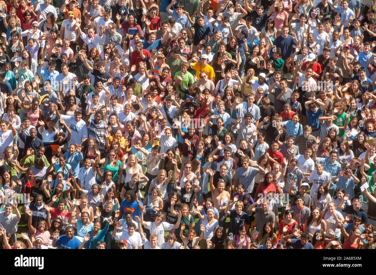 Bird's-eye view, on a sunny day, of a crowd of freshman students standing close together and waving at the camera during a college orientation week event, at the Johns Hopkins University, Baltimore, Maryland, September 4, 2006. From the Homewood Photography Collection. () Stock Photohttps://www.alamy.com/image-license-details/?v=1https://www.alamy.com/birds-eye-view-on-a-sunny-day-of-a-crowd-of-freshman-students-standing-close-together-and-waving-at-the-camera-during-a-college-orientation-week-event-at-the-johns-hopkins-university-baltimore-maryland-september-4-2006-from-the-homewood-photography-collection-image330865212.html
RM2A685XM–Bird's-eye view, on a sunny day, of a crowd of freshman students standing close together and waving at the camera during a college orientation week event, at the Johns Hopkins University, Baltimore, Maryland, September 4, 2006. From the Homewood Photography Collection. ()
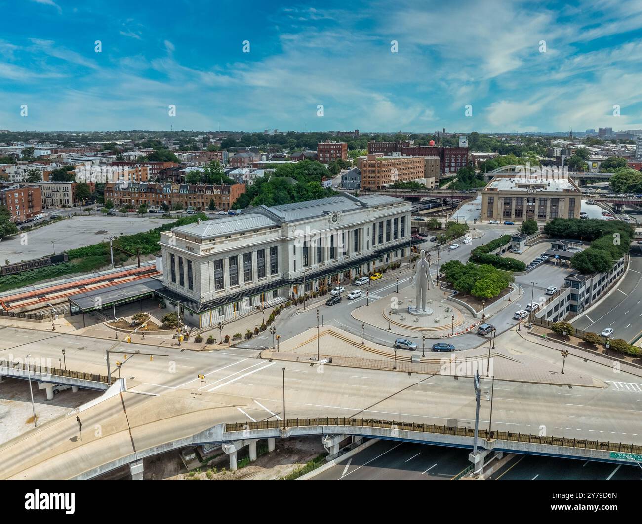 Aerial view of Penn Station Baltimore, classic East Coast rail station for commuter and passenger trains with cloudy sky background Stock Photohttps://www.alamy.com/image-license-details/?v=1https://www.alamy.com/aerial-view-of-penn-station-baltimore-classic-east-coast-rail-station-for-commuter-and-passenger-trains-with-cloudy-sky-background-image624083789.html
RF2Y79D6N–Aerial view of Penn Station Baltimore, classic East Coast rail station for commuter and passenger trains with cloudy sky background
 Baltimore, Maryland, United States of America – September 7, 2016. View over downtown Baltimore, MD, from the Washington Monument. View southward, tow Stock Photohttps://www.alamy.com/image-license-details/?v=1https://www.alamy.com/baltimore-maryland-united-states-of-america-september-7-2016-view-over-downtown-baltimore-md-from-the-washington-monument-view-southward-tow-image453009658.html
RF2H90ACA–Baltimore, Maryland, United States of America – September 7, 2016. View over downtown Baltimore, MD, from the Washington Monument. View southward, tow
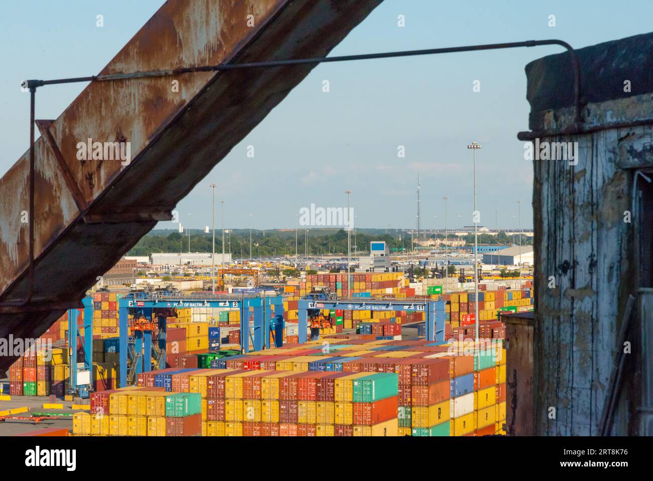 Containers in the Port of Baltimore, MD Stock Photohttps://www.alamy.com/image-license-details/?v=1https://www.alamy.com/containers-in-the-port-of-baltimore-md-image565674234.html
RF2RT8K76–Containers in the Port of Baltimore, MD
 Birds eye view of the city of Baltimore Stock Photohttps://www.alamy.com/image-license-details/?v=1https://www.alamy.com/stock-photo-birds-eye-view-of-the-city-of-baltimore-25817931.html
RMBE030Y–Birds eye view of the city of Baltimore
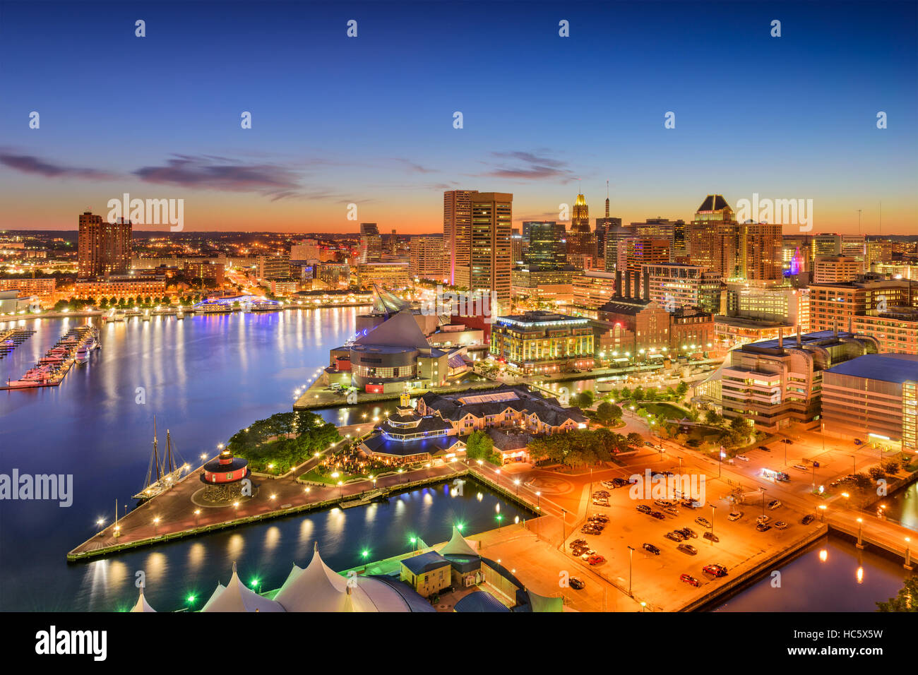 Baltimore, Maryland, USA inner harbor and downtown skyline at twilight. Stock Photohttps://www.alamy.com/image-license-details/?v=1https://www.alamy.com/stock-photo-baltimore-maryland-usa-inner-harbor-and-downtown-skyline-at-twilight-127978757.html
RFHC5X5W–Baltimore, Maryland, USA inner harbor and downtown skyline at twilight.
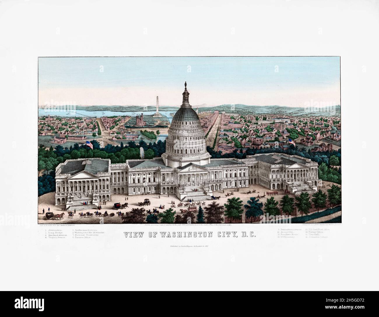 View of Washington City, D.C. / lith. by E. Sachse & Co. 104 S. Charles St. Baltimore. Bird's-eye view print. 1862. U.S. Capitol in the foreground. Stock Photohttps://www.alamy.com/image-license-details/?v=1https://www.alamy.com/view-of-washington-city-dc-lith-by-e-sachse-co-104-s-charles-st-baltimore-birds-eye-view-print-1862-us-capitol-in-the-foreground-image450904470.html
RM2H5GD72–View of Washington City, D.C. / lith. by E. Sachse & Co. 104 S. Charles St. Baltimore. Bird's-eye view print. 1862. U.S. Capitol in the foreground.
 Aerial view of Baltimore Maryland Stock Photohttps://www.alamy.com/image-license-details/?v=1https://www.alamy.com/aerial-view-of-baltimore-maryland-image2462825.html
RFACW46A–Aerial view of Baltimore Maryland
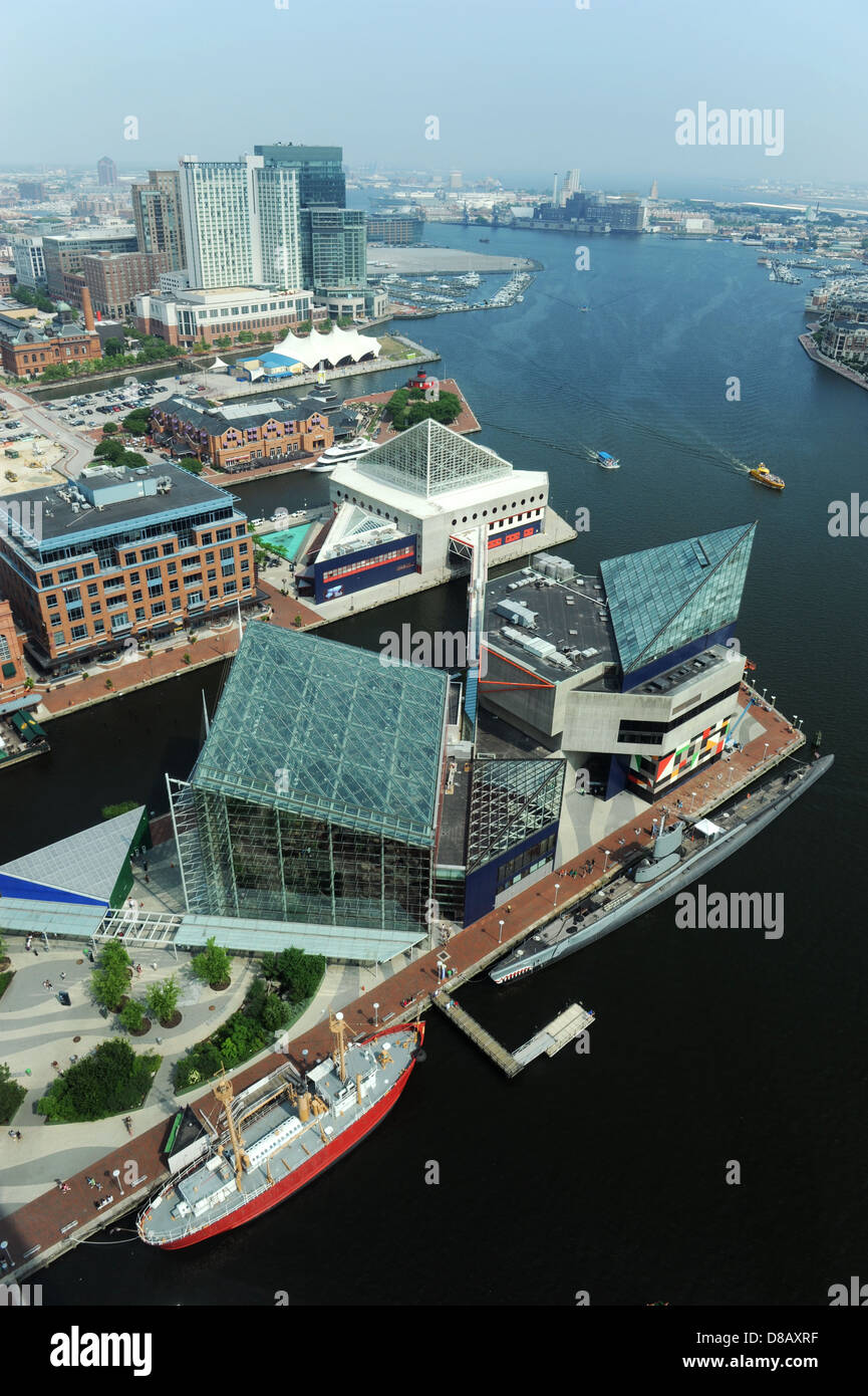 Aerial view of Baltimore Harbor on a sunny day Stock Photohttps://www.alamy.com/image-license-details/?v=1https://www.alamy.com/stock-photo-aerial-view-of-baltimore-harbor-on-a-sunny-day-56788915.html
RFD8AXRF–Aerial view of Baltimore Harbor on a sunny day
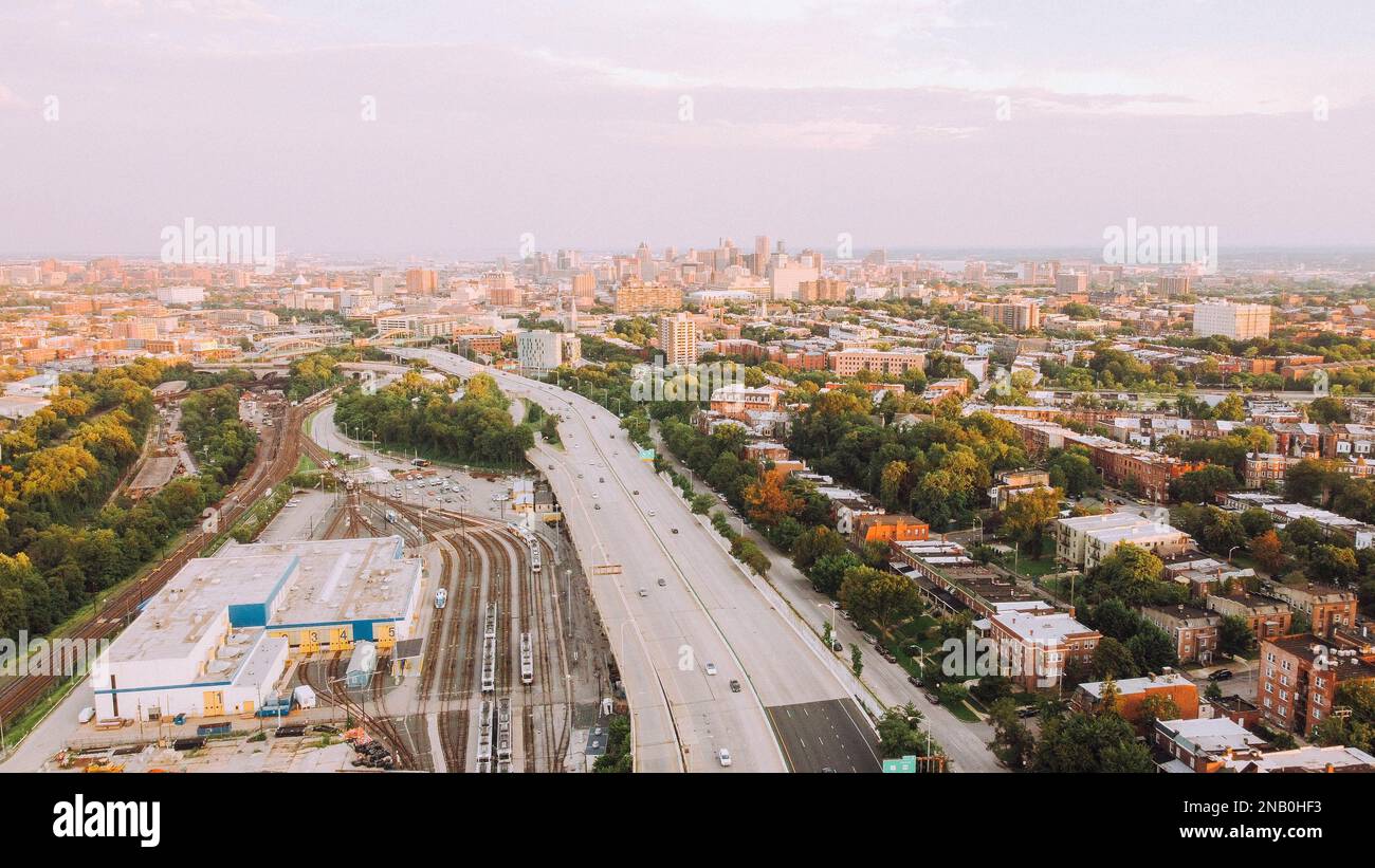 An aerial view of buildings and roads in downtown Baltimore City Stock Photohttps://www.alamy.com/image-license-details/?v=1https://www.alamy.com/an-aerial-view-of-buildings-and-roads-in-downtown-baltimore-city-image523086007.html
RF2NB0HF3–An aerial view of buildings and roads in downtown Baltimore City
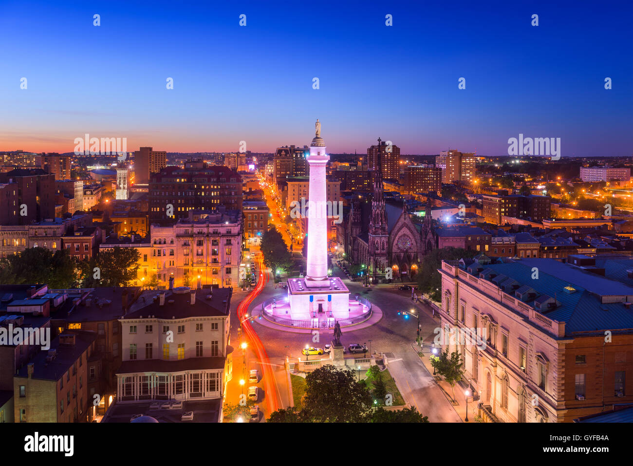 Baltimore, Maryland, USA cityscape at Mt. Vernon and the Washington Monument. Stock Photohttps://www.alamy.com/image-license-details/?v=1https://www.alamy.com/stock-photo-baltimore-maryland-usa-cityscape-at-mt-vernon-and-the-washington-monument-120195946.html
RFGYFB4A–Baltimore, Maryland, USA cityscape at Mt. Vernon and the Washington Monument.
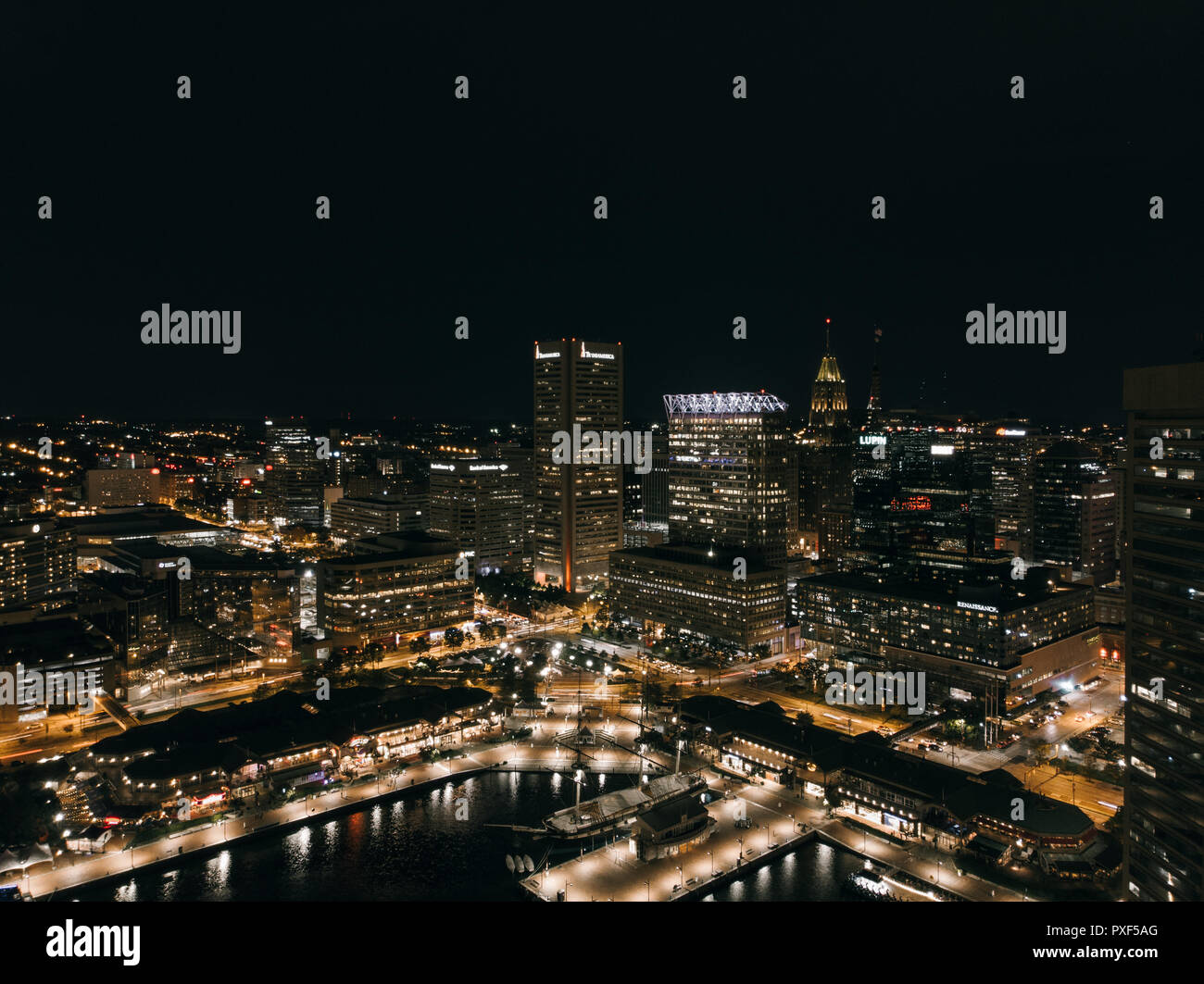 Aerial view of the Baltimore Inner Harbor at night. Stock Photohttps://www.alamy.com/image-license-details/?v=1https://www.alamy.com/aerial-view-of-the-baltimore-inner-harbor-at-night-image222838968.html
RFPXF5AG–Aerial view of the Baltimore Inner Harbor at night.
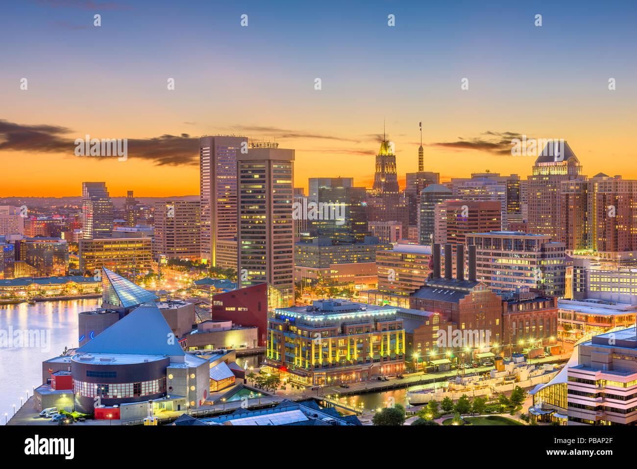 Baltimore, Maryland, USA skyline of the Inner Harbor at twilight. Stock Photohttps://www.alamy.com/image-license-details/?v=1https://www.alamy.com/baltimore-maryland-usa-skyline-of-the-inner-harbor-at-twilight-image213522471.html
RFPBAP2F–Baltimore, Maryland, USA skyline of the Inner Harbor at twilight.
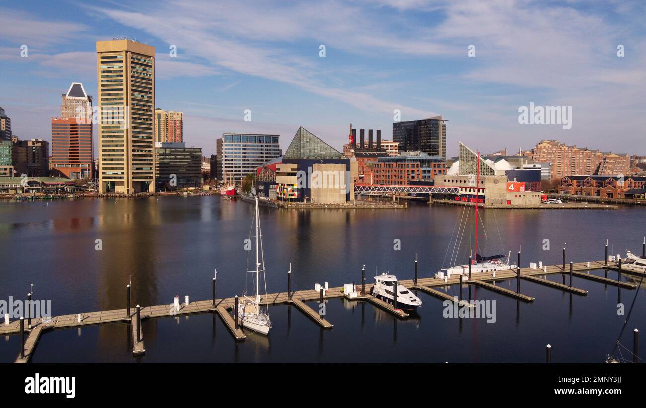 Baltimore, Maryland, USA, December 23rd 2021. A drone aerial view of Baltimore harbor. Stock Photohttps://www.alamy.com/image-license-details/?v=1https://www.alamy.com/baltimore-maryland-usa-december-23rd-2021-a-drone-aerial-view-of-baltimore-harbor-image512604026.html
RF2MNY3JJ–Baltimore, Maryland, USA, December 23rd 2021. A drone aerial view of Baltimore harbor.
 State of Maryland, United States, Relief Map Stock Photohttps://www.alamy.com/image-license-details/?v=1https://www.alamy.com/stock-photo-state-of-maryland-united-states-relief-map-71603895.html
RME4DRDY–State of Maryland, United States, Relief Map
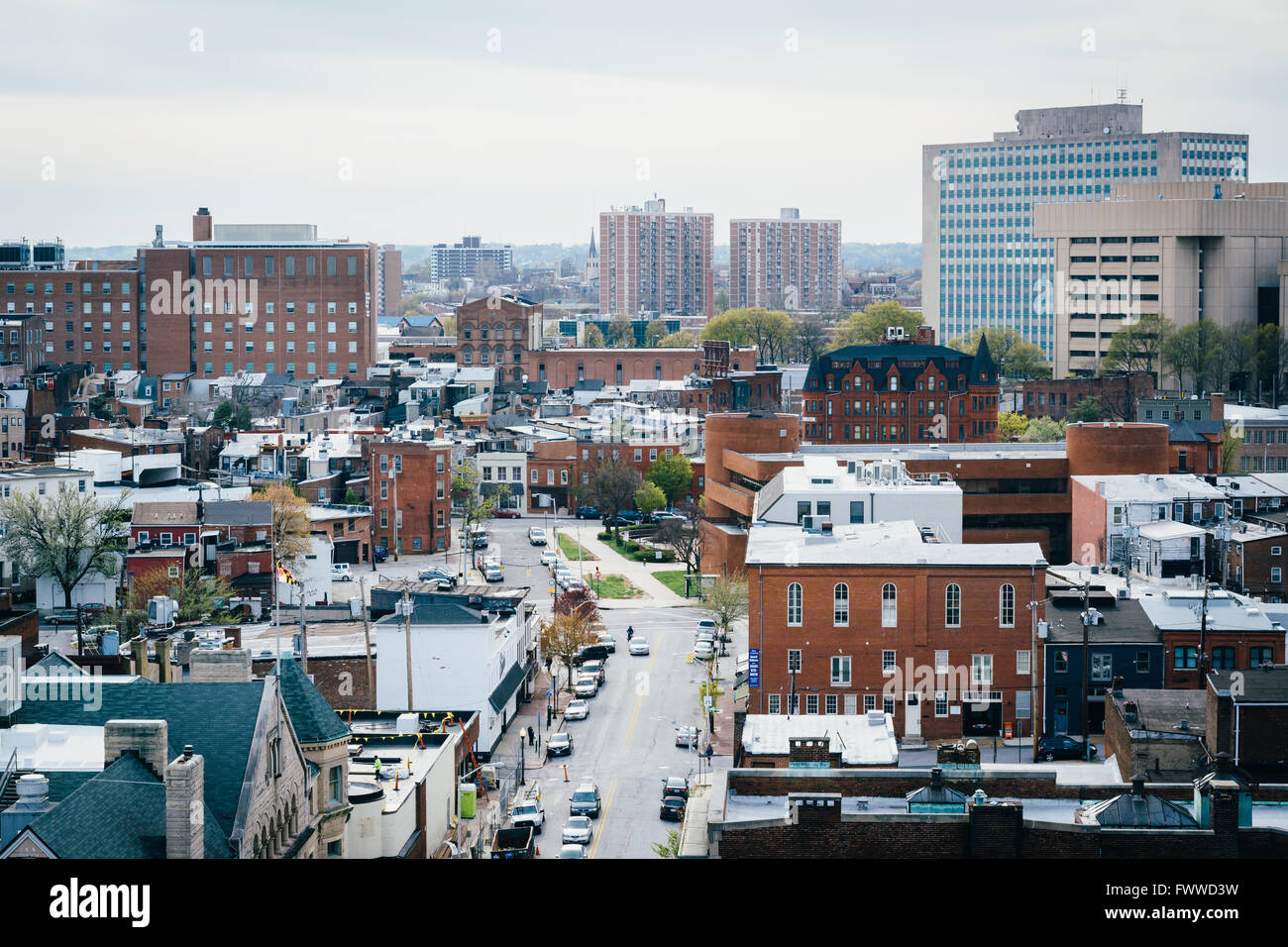 View of Eager Street, in Mount Vernon, Baltimore, Maryland. Stock Photohttps://www.alamy.com/image-license-details/?v=1https://www.alamy.com/stock-photo-view-of-eager-street-in-mount-vernon-baltimore-maryland-101977341.html
RMFWWD3W–View of Eager Street, in Mount Vernon, Baltimore, Maryland.
 State of Maryland and Northeastern United States, Relief Map Stock Photohttps://www.alamy.com/image-license-details/?v=1https://www.alamy.com/stock-photo-state-of-maryland-and-northeastern-united-states-relief-map-71609291.html
RME4E2AK–State of Maryland and Northeastern United States, Relief Map
 USA, Maryland, Aerial photograph of cars lined up for shipment from the Port of Baltimore Stock Photohttps://www.alamy.com/image-license-details/?v=1https://www.alamy.com/usa-maryland-aerial-photograph-of-cars-lined-up-for-shipment-from-the-port-of-baltimore-image382321375.html
RF2D606PR–USA, Maryland, Aerial photograph of cars lined up for shipment from the Port of Baltimore
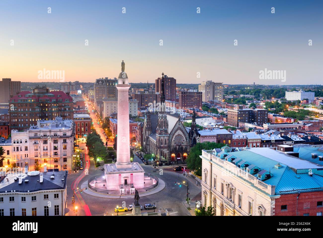 Baltimore, Maryland, USA cityscape at Mt. Vernon and the Washington Monument. Stock Photohttps://www.alamy.com/image-license-details/?v=1https://www.alamy.com/baltimore-maryland-usa-cityscape-at-mt-vernon-and-the-washington-monument-image640536027.html
RF2S62X6K–Baltimore, Maryland, USA cityscape at Mt. Vernon and the Washington Monument.
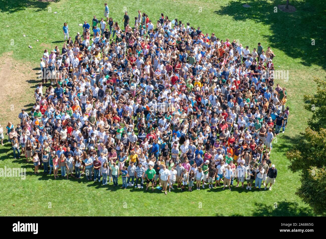 Bird's-eye view, of a crowd of freshman students during a college orientation week event, standing close together in a grassy area on a sunny day, at the Johns Hopkins University, Baltimore, Maryland, September 4, 2006. From the Homewood Photography Collection. () Stock Photohttps://www.alamy.com/image-license-details/?v=1https://www.alamy.com/birds-eye-view-of-a-crowd-of-freshman-students-during-a-college-orientation-week-event-standing-close-together-in-a-grassy-area-on-a-sunny-day-at-the-johns-hopkins-university-baltimore-maryland-september-4-2006-from-the-homewood-photography-collection-image330865404.html
RM2A6865G–Bird's-eye view, of a crowd of freshman students during a college orientation week event, standing close together in a grassy area on a sunny day, at the Johns Hopkins University, Baltimore, Maryland, September 4, 2006. From the Homewood Photography Collection. ()
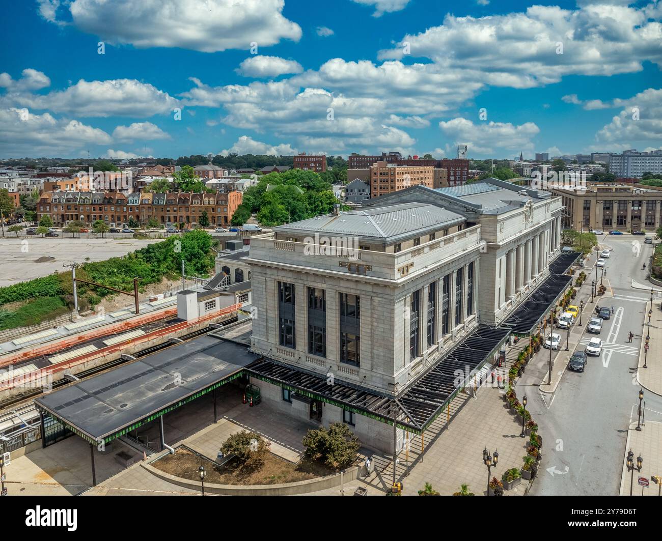 Aerial view of Penn Station Baltimore, classic East Coast rail station for commuter and passenger trains with cloudy sky background Stock Photohttps://www.alamy.com/image-license-details/?v=1https://www.alamy.com/aerial-view-of-penn-station-baltimore-classic-east-coast-rail-station-for-commuter-and-passenger-trains-with-cloudy-sky-background-image624083792.html
RF2Y79D6T–Aerial view of Penn Station Baltimore, classic East Coast rail station for commuter and passenger trains with cloudy sky background
 Aerial view of the Northwell Shopping Center and the row homes and construction that surround it, Baltimore, Maryland, 1951. Stock Photohttps://www.alamy.com/image-license-details/?v=1https://www.alamy.com/aerial-view-of-the-northwell-shopping-center-and-the-row-homes-and-image155075986.html
RMK08902–Aerial view of the Northwell Shopping Center and the row homes and construction that surround it, Baltimore, Maryland, 1951.
 Aerial view historic Fort McHenry in Baltimore protecting the entrance of city from the ocean, site of the epic battle in 1812, Star Spangled Banner Stock Photohttps://www.alamy.com/image-license-details/?v=1https://www.alamy.com/aerial-view-historic-fort-mchenry-in-baltimore-protecting-the-entrance-of-city-from-the-ocean-site-of-the-epic-battle-in-1812-star-spangled-banner-image384125079.html
RF2D8XBCR–Aerial view historic Fort McHenry in Baltimore protecting the entrance of city from the ocean, site of the epic battle in 1812, Star Spangled Banner
 Landscape shot, aerial view of a neighborhood with intersecting roads, a variety of large and small trees lining the road, one large two-story white house clearly depicted, Roland Park/Guilford, United States, 1910. This image is from a series documenting the construction and sale of homes in the Roland Park/Guilford neighborhood of Baltimore, a streetcar suburb and one of the first planned communities in the United States. Stock Photohttps://www.alamy.com/image-license-details/?v=1https://www.alamy.com/landscape-shot-aerial-view-of-a-neighborhood-with-intersecting-roads-image155026314.html
RMK061J2–Landscape shot, aerial view of a neighborhood with intersecting roads, a variety of large and small trees lining the road, one large two-story white house clearly depicted, Roland Park/Guilford, United States, 1910. This image is from a series documenting the construction and sale of homes in the Roland Park/Guilford neighborhood of Baltimore, a streetcar suburb and one of the first planned communities in the United States.
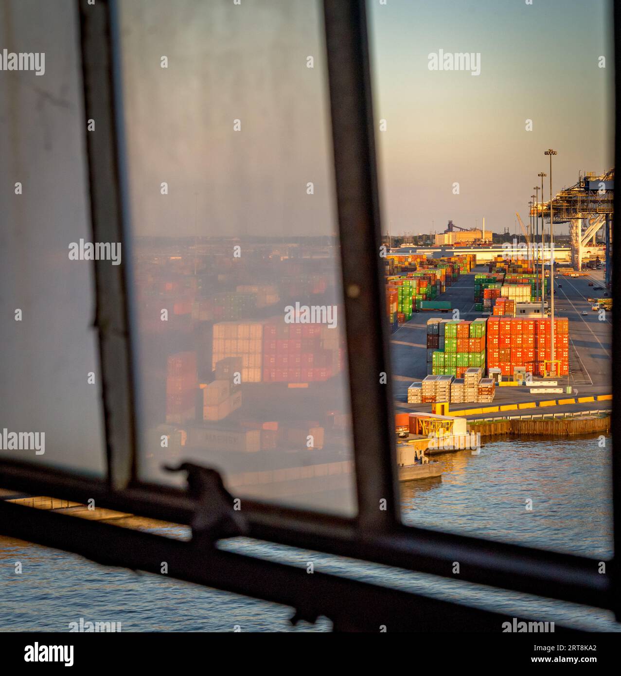 Containers in the Port of Baltimore, MD Stock Photohttps://www.alamy.com/image-license-details/?v=1https://www.alamy.com/containers-in-the-port-of-baltimore-md-image565674314.html
RF2RT8KA2–Containers in the Port of Baltimore, MD
 AJ2253, Maryland, MD, Mid-Atlantic Stock Photohttps://www.alamy.com/image-license-details/?v=1https://www.alamy.com/aj2253-maryland-md-mid-atlantic-image465274.html
RMA7197A–AJ2253, Maryland, MD, Mid-Atlantic
 Aerial view of Baltimore Maryland Stock Photohttps://www.alamy.com/image-license-details/?v=1https://www.alamy.com/aerial-view-of-baltimore-maryland-image2462822.html
RFACW467–Aerial view of Baltimore Maryland
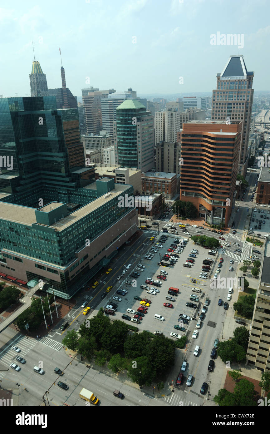 Aerial view of Downtown Baltimore on a sunny day Stock Photohttps://www.alamy.com/image-license-details/?v=1https://www.alamy.com/stock-photo-aerial-view-of-downtown-baltimore-on-a-sunny-day-50363446.html
RFCWX72E–Aerial view of Downtown Baltimore on a sunny day
 An aerial view of buildings near the water in Baltimore city Stock Photohttps://www.alamy.com/image-license-details/?v=1https://www.alamy.com/an-aerial-view-of-buildings-near-the-water-in-baltimore-city-image523086027.html
RF2NB0HFR–An aerial view of buildings near the water in Baltimore city
 Aerial View Over Baltimore Downtown City Skyline Inner Harbor Stock Photohttps://www.alamy.com/image-license-details/?v=1https://www.alamy.com/aerial-view-over-baltimore-downtown-city-skyline-inner-harbor-image414059785.html
RF2F1J1DD–Aerial View Over Baltimore Downtown City Skyline Inner Harbor
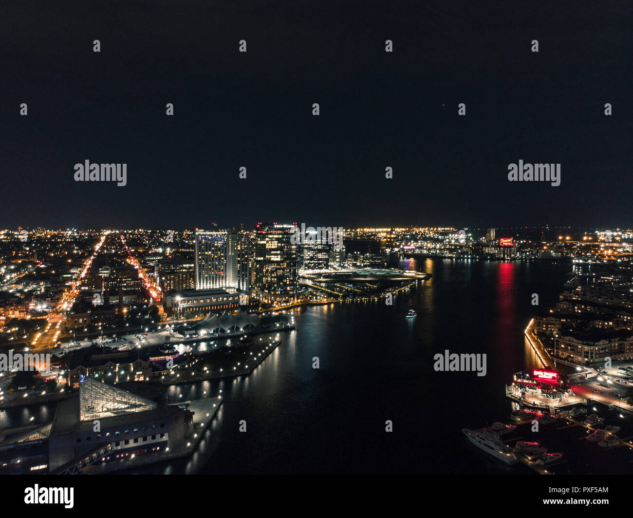 Aerial view of the Baltimore Inner Harbor at night. Stock Photohttps://www.alamy.com/image-license-details/?v=1https://www.alamy.com/aerial-view-of-the-baltimore-inner-harbor-at-night-image222838972.html
RFPXF5AM–Aerial view of the Baltimore Inner Harbor at night.
 Aerial View Over Baltimore Downtown City Skyline Inner Harbor Stock Photohttps://www.alamy.com/image-license-details/?v=1https://www.alamy.com/aerial-view-over-baltimore-downtown-city-skyline-inner-harbor-image414059722.html
RF2F1J1B6–Aerial View Over Baltimore Downtown City Skyline Inner Harbor
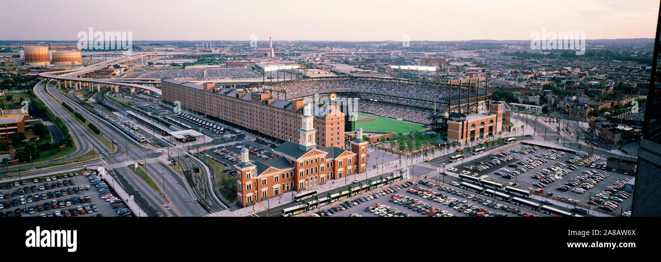 Aerial view of a baseball field, Baltimore, Maryland, USA Stock Photohttps://www.alamy.com/image-license-details/?v=1https://www.alamy.com/aerial-view-of-a-baseball-field-baltimore-maryland-usa-image332153554.html
RM2A8AW6X–Aerial view of a baseball field, Baltimore, Maryland, USA
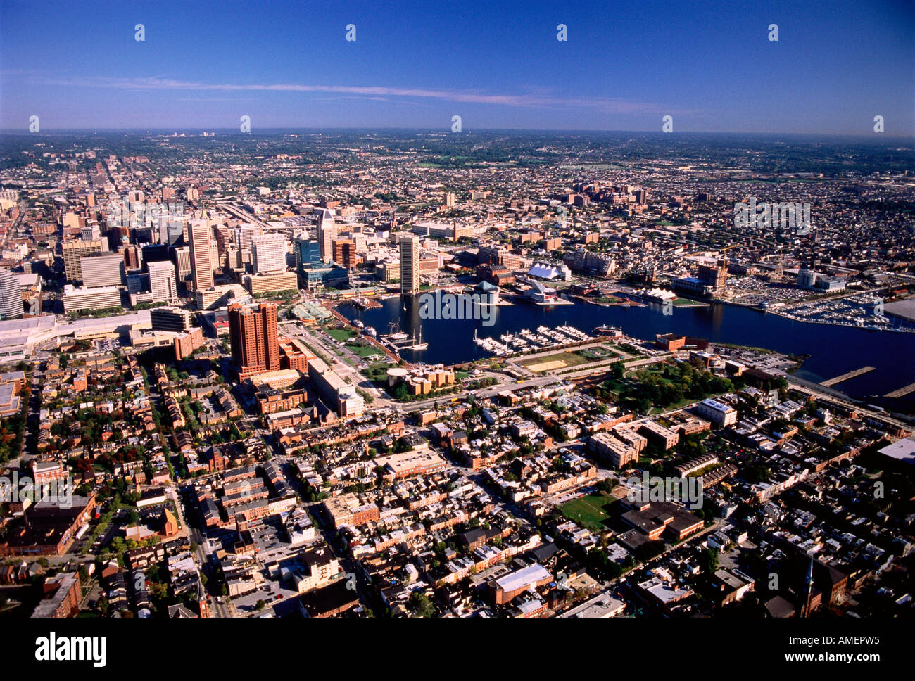 Aerial View of Baltimore Harbor Maryland, USA Stock Photohttps://www.alamy.com/image-license-details/?v=1https://www.alamy.com/aerial-view-of-baltimore-harbor-maryland-usa-image8709908.html
RFAMEPW5–Aerial View of Baltimore Harbor Maryland, USA
 View of buildings in downtown at night, in Baltimore, Maryland. Stock Photohttps://www.alamy.com/image-license-details/?v=1https://www.alamy.com/stock-photo-view-of-buildings-in-downtown-at-night-in-baltimore-maryland-101977466.html
RMFWWD8A–View of buildings in downtown at night, in Baltimore, Maryland.
 United States and the State of Maryland, Relief Map Stock Photohttps://www.alamy.com/image-license-details/?v=1https://www.alamy.com/stock-photo-united-states-and-the-state-of-maryland-relief-map-71608940.html
RME4E1X4–United States and the State of Maryland, Relief Map
 USA, Maryland, Aerial photograph of Fort McHenry in Baltimore Stock Photohttps://www.alamy.com/image-license-details/?v=1https://www.alamy.com/stock-photo-usa-maryland-aerial-photograph-of-fort-mchenry-in-baltimore-124214811.html
RFH62D77–USA, Maryland, Aerial photograph of Fort McHenry in Baltimore
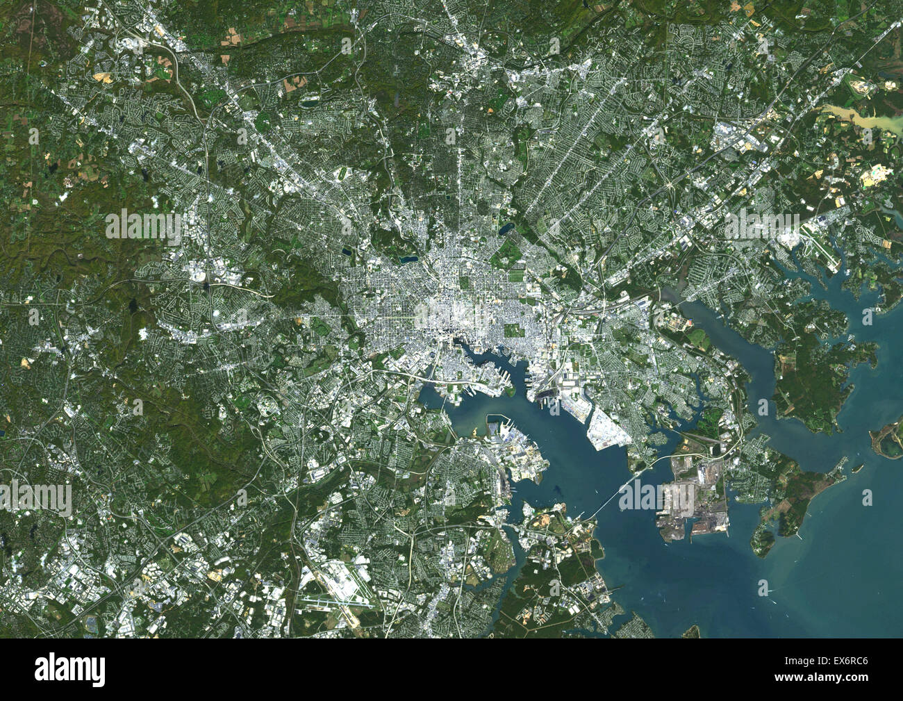 Colour satellite image of Baltimore, Maryland, USA. Image taken on October 17, 2014 with Landsat 8 data. Stock Photohttps://www.alamy.com/image-license-details/?v=1https://www.alamy.com/stock-photo-colour-satellite-image-of-baltimore-maryland-usa-image-taken-on-october-84972614.html
RMEX6RC6–Colour satellite image of Baltimore, Maryland, USA. Image taken on October 17, 2014 with Landsat 8 data.