Quick filters:
Afghanistan map focus Stock Photos and Images
 The map of Afghanistan Stock Photohttps://www.alamy.com/image-license-details/?v=1https://www.alamy.com/stock-photo-the-map-of-afghanistan-25306315.html
RMBD4PCY–The map of Afghanistan
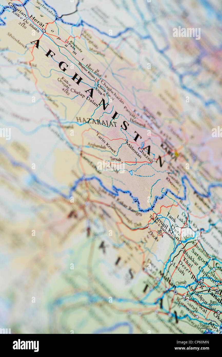 Map of Afghanistan Stock Photohttps://www.alamy.com/image-license-details/?v=1https://www.alamy.com/stock-photo-map-of-afghanistan-48075461.html
RMCP60MN–Map of Afghanistan
 Close-up of a red pushpin on a map of Afghanistan Stock Photohttps://www.alamy.com/image-license-details/?v=1https://www.alamy.com/stock-photo-close-up-of-a-red-pushpin-on-a-map-of-afghanistan-84580367.html
RFEWGY3B–Close-up of a red pushpin on a map of Afghanistan
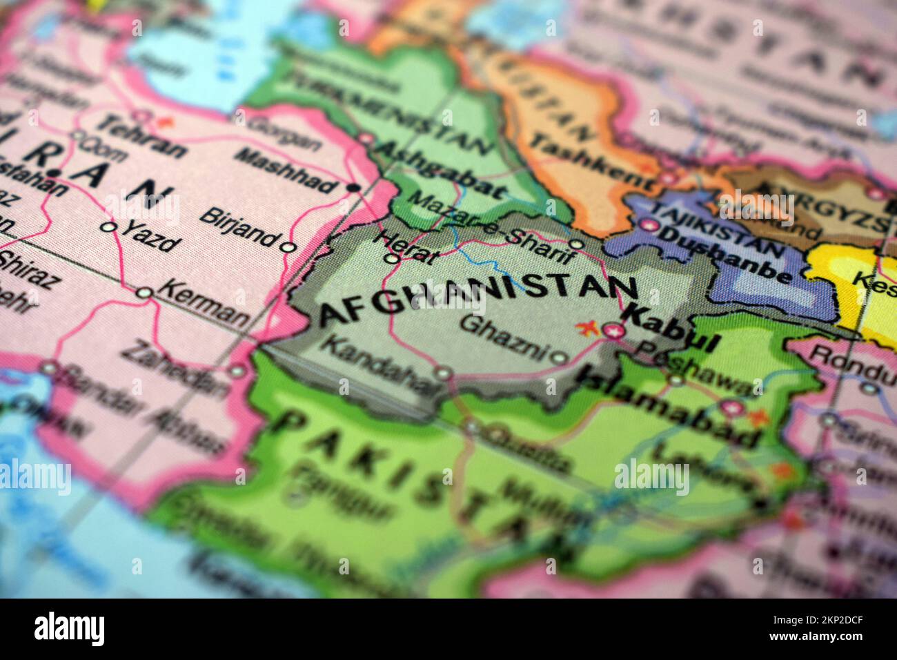 Afghanistan Travel Concept Country Name On The Political World Map Very Macro Close-Up View Stock Photograph Stock Photohttps://www.alamy.com/image-license-details/?v=1https://www.alamy.com/afghanistan-travel-concept-country-name-on-the-political-world-map-very-macro-close-up-view-stock-photograph-image495467183.html
RF2KP2DCF–Afghanistan Travel Concept Country Name On The Political World Map Very Macro Close-Up View Stock Photograph
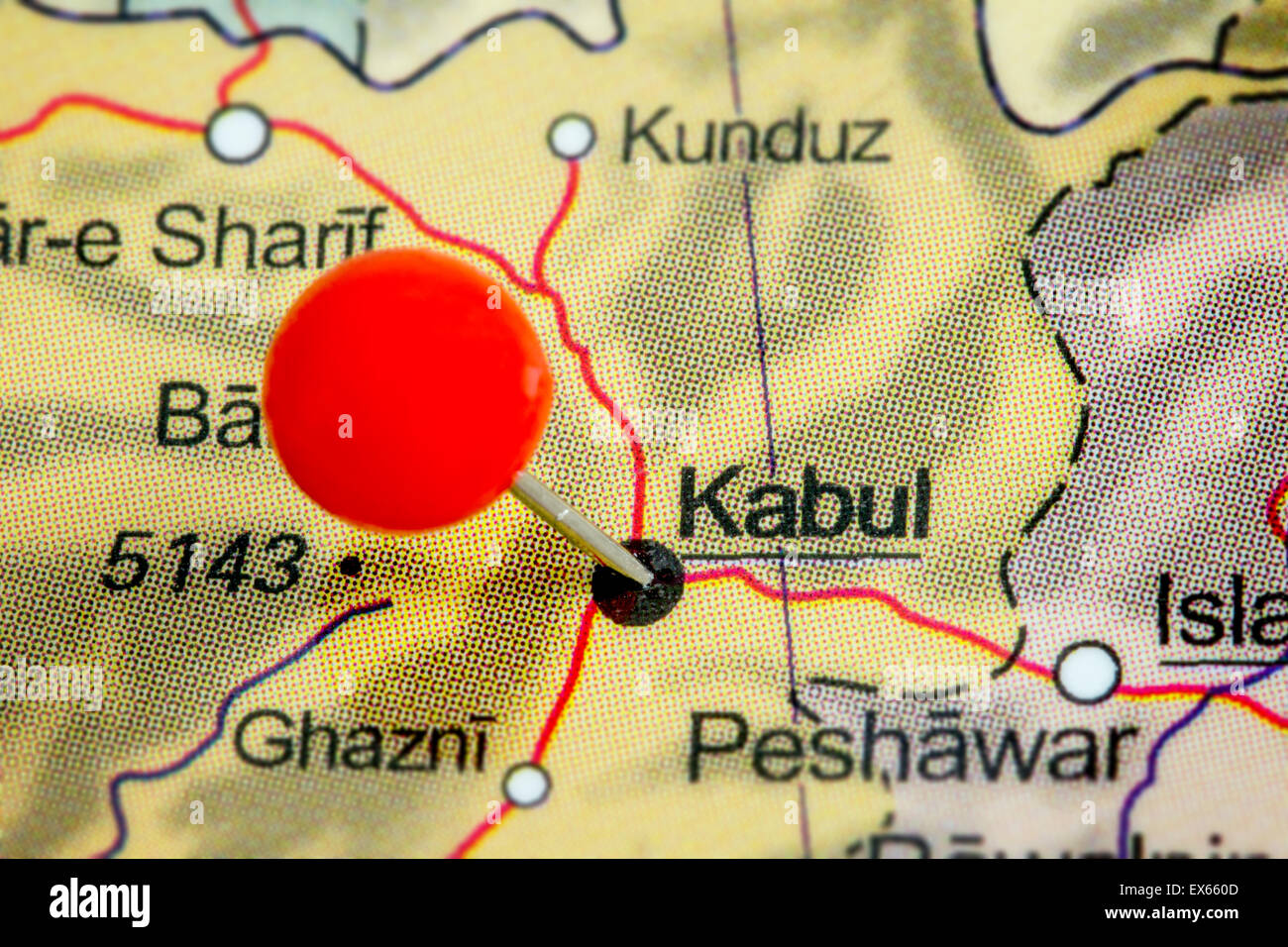 Close-up of a red pushpin on a map of Kabul, Afghanistan Stock Photohttps://www.alamy.com/image-license-details/?v=1https://www.alamy.com/stock-photo-close-up-of-a-red-pushpin-on-a-map-of-kabul-afghanistan-84958957.html
RFEX660D–Close-up of a red pushpin on a map of Kabul, Afghanistan
 Afghanistan, crisis region, illuminated old globe, map section Stock Photohttps://www.alamy.com/image-license-details/?v=1https://www.alamy.com/afghanistan-crisis-region-illuminated-old-globe-map-section-image61877864.html
RMDGJNRM–Afghanistan, crisis region, illuminated old globe, map section
 Ostersund, Sweden - Sep 7, 2021: Afganistan on Google Maps under a magnifying glass. Afganistan is a landlocked country at the crossroads of Central a Stock Photohttps://www.alamy.com/image-license-details/?v=1https://www.alamy.com/ostersund-sweden-sep-7-2021-afganistan-on-google-maps-under-a-magnifying-glass-afganistan-is-a-landlocked-country-at-the-crossroads-of-central-a-image453433229.html
RF2H9KJKW–Ostersund, Sweden - Sep 7, 2021: Afganistan on Google Maps under a magnifying glass. Afganistan is a landlocked country at the crossroads of Central a
 Map Afghanistan and Pakistan close-up macro image. Selective focus Stock Photohttps://www.alamy.com/image-license-details/?v=1https://www.alamy.com/stock-photo-map-afghanistan-and-pakistan-close-up-macro-image-selective-focus-137020810.html
RFHXWRCA–Map Afghanistan and Pakistan close-up macro image. Selective focus
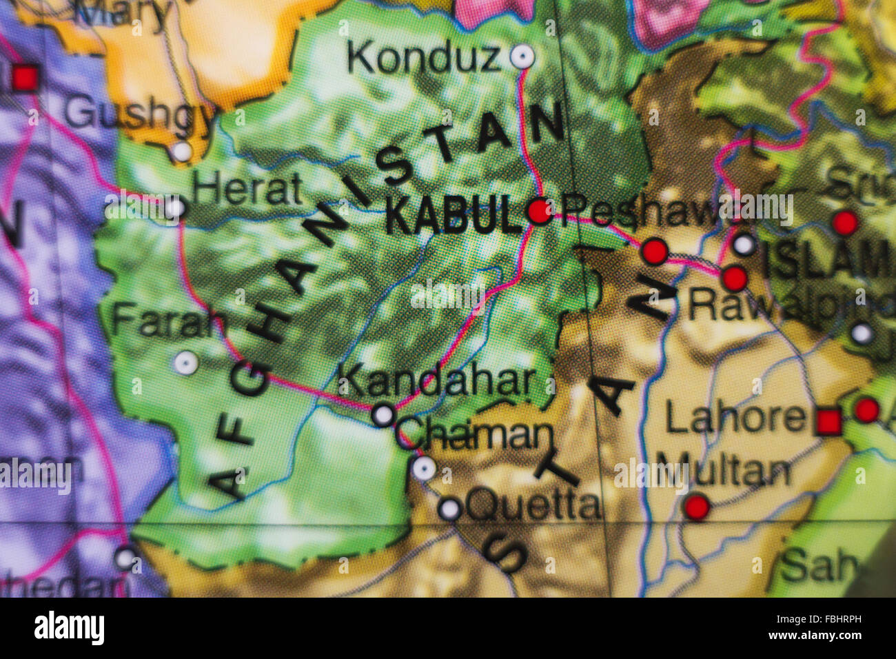 Photo of a map of Afghanistan and the capital Kabul . Stock Photohttps://www.alamy.com/image-license-details/?v=1https://www.alamy.com/stock-photo-photo-of-a-map-of-afghanistan-and-the-capital-kabul-93204905.html
RFFBHRPH–Photo of a map of Afghanistan and the capital Kabul .
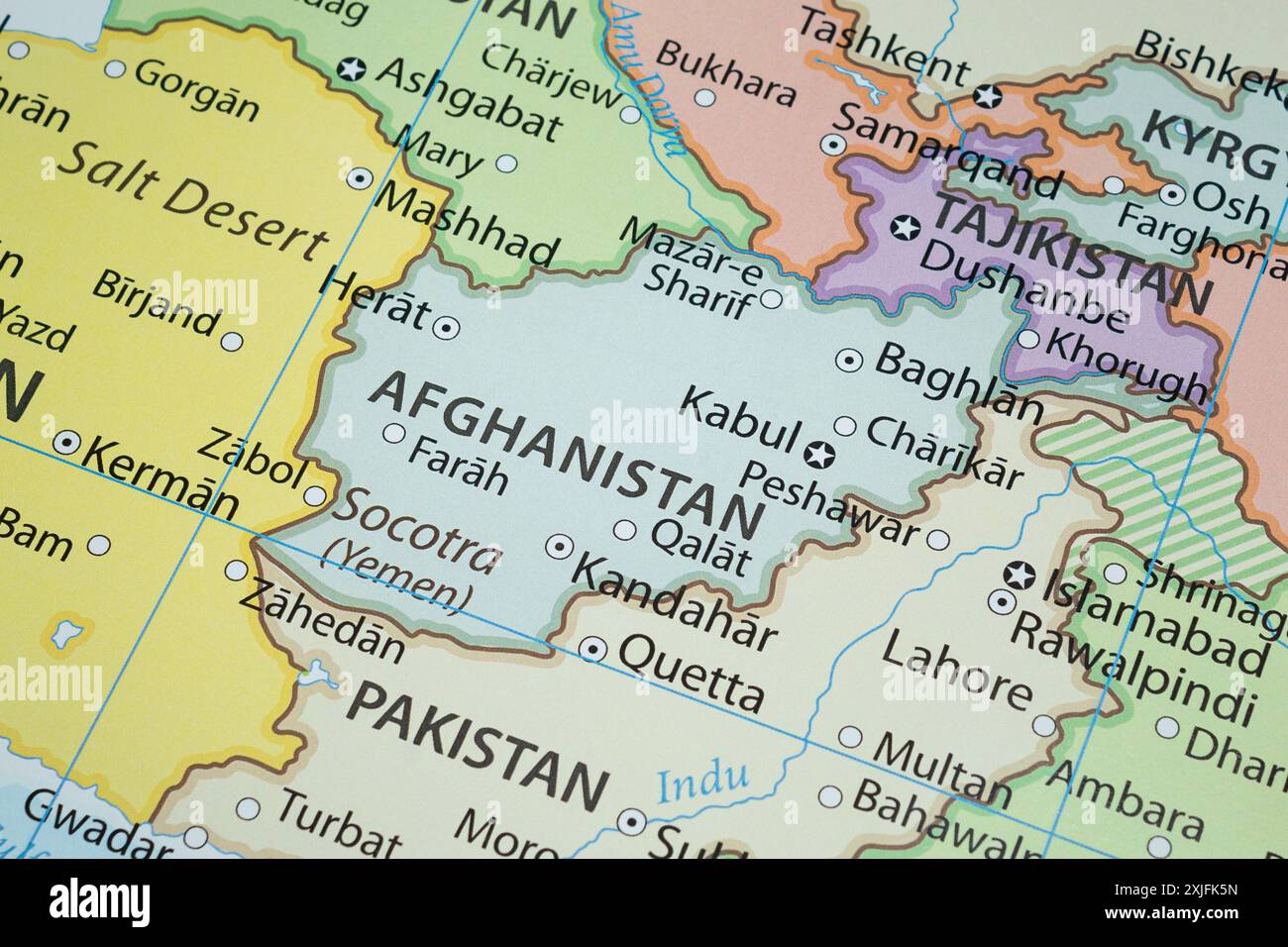 Close up to a Afghanistan political map with country frontiers and most importants cities Stock Photohttps://www.alamy.com/image-license-details/?v=1https://www.alamy.com/close-up-to-a-afghanistan-political-map-with-country-frontiers-and-most-importants-cities-image613771025.html
RF2XJFK5N–Close up to a Afghanistan political map with country frontiers and most importants cities
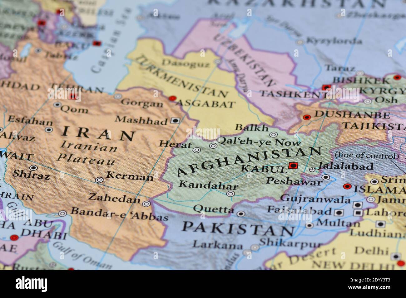 Afghanistan Map Stock Photohttps://www.alamy.com/image-license-details/?v=1https://www.alamy.com/afghanistan-map-image395819539.html
RF2DYY3T3–Afghanistan Map
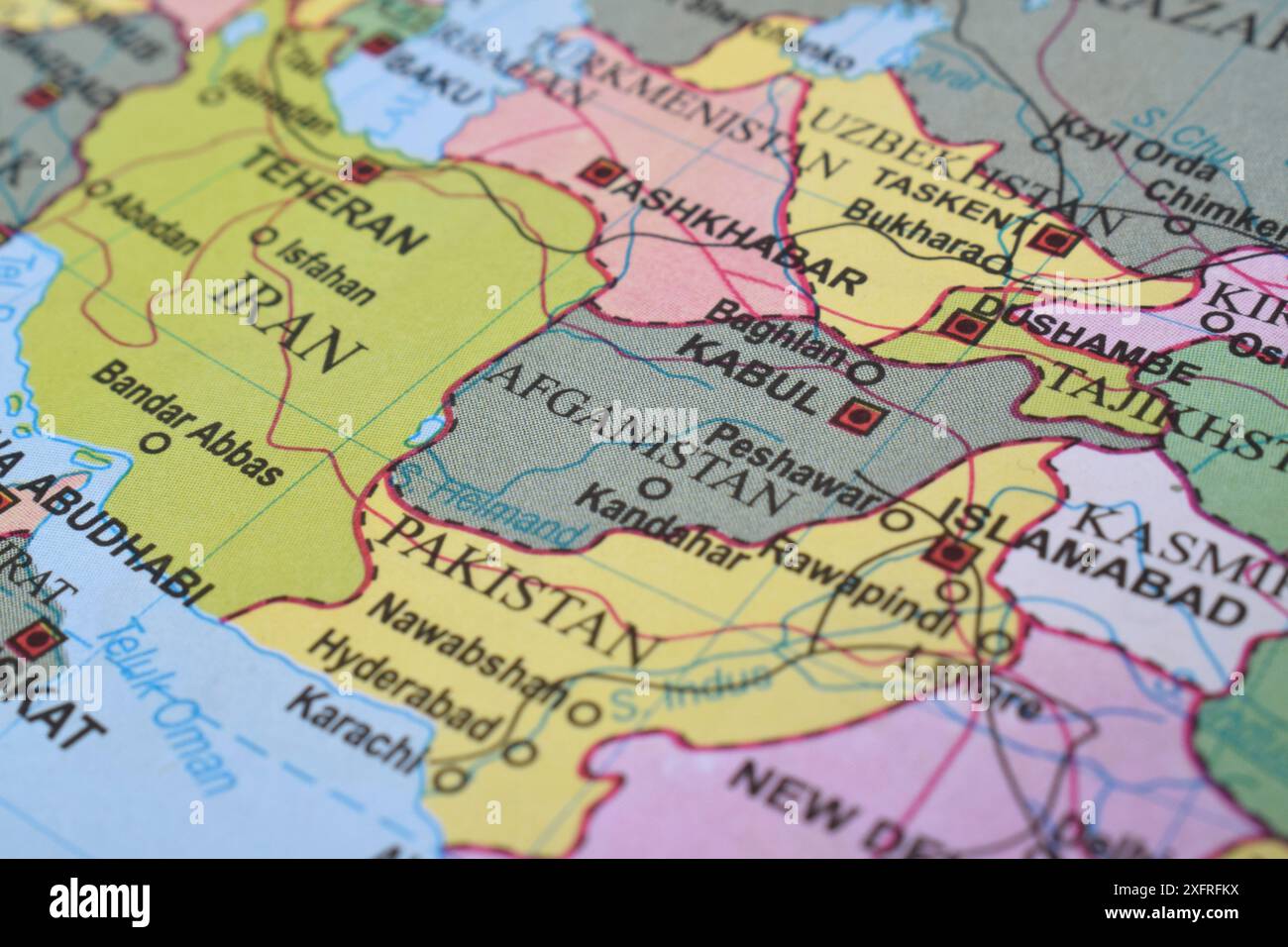 Close up of Afghanistan on world map Stock Photohttps://www.alamy.com/image-license-details/?v=1https://www.alamy.com/close-up-of-afghanistan-on-world-map-image612099934.html
RF2XFRFKX–Close up of Afghanistan on world map
 Selective focus to the country of Afghanistan on a colorful world globe in a concept of international travel, politics or education Stock Photohttps://www.alamy.com/image-license-details/?v=1https://www.alamy.com/selective-focus-to-the-country-of-afghanistan-on-a-colorful-world-globe-in-a-concept-of-international-travel-politics-or-education-image260325421.html
RFW3ERMD–Selective focus to the country of Afghanistan on a colorful world globe in a concept of international travel, politics or education
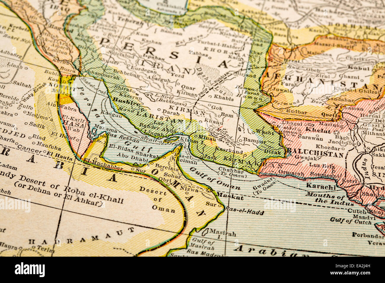 Persian Gulf region a on vintage 1920s map, selective focus (printed in 1926 - copyrights expired) Stock Photohttps://www.alamy.com/image-license-details/?v=1https://www.alamy.com/stock-photo-persian-gulf-region-a-on-vintage-1920s-map-selective-focus-printed-75046177.html
RFEA2J4H–Persian Gulf region a on vintage 1920s map, selective focus (printed in 1926 - copyrights expired)
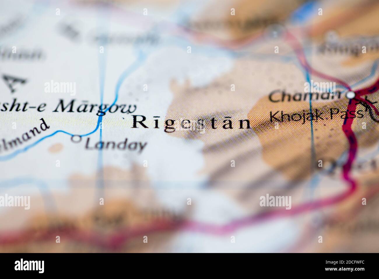 Shallow depth of field focus on geographical map location of Registan Desert Afghanistan Asia continent on atlas Stock Photohttps://www.alamy.com/image-license-details/?v=1https://www.alamy.com/shallow-depth-of-field-focus-on-geographical-map-location-of-registan-desert-afghanistan-asia-continent-on-atlas-image386353280.html
RF2DCFWFC–Shallow depth of field focus on geographical map location of Registan Desert Afghanistan Asia continent on atlas
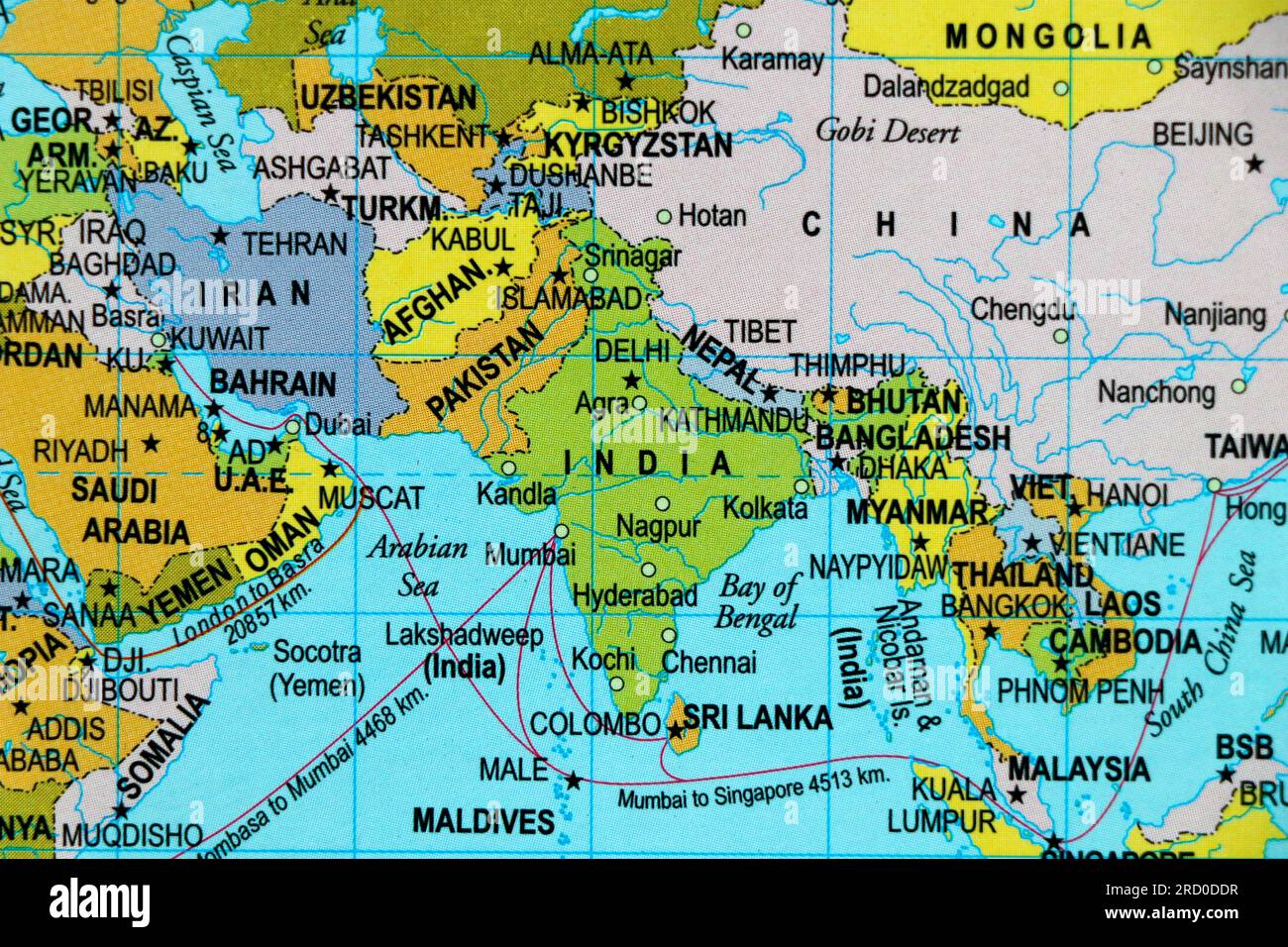 world map of asia and country borders, india, pakistan, china in close up focus Stock Photohttps://www.alamy.com/image-license-details/?v=1https://www.alamy.com/world-map-of-asia-and-country-borders-india-pakistan-china-in-close-up-focus-image558732883.html
RF2RD0DDR–world map of asia and country borders, india, pakistan, china in close up focus
 pinned afghanistan Stock Photohttps://www.alamy.com/image-license-details/?v=1https://www.alamy.com/stock-image-pinned-afghanistan-169504780.html
RFKRNH24–pinned afghanistan
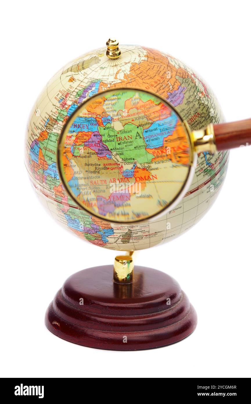 Iran, Iraq and Afghanistan on the globe under a magnifier. Stock Photohttps://www.alamy.com/image-license-details/?v=1https://www.alamy.com/iran-iraq-and-afghanistan-on-the-globe-under-a-magnifier-image627316223.html
RF2YCGM6R–Iran, Iraq and Afghanistan on the globe under a magnifier.
 Afghanistan flag with US dollars as background. Concept for investors, soft focus Stock Photohttps://www.alamy.com/image-license-details/?v=1https://www.alamy.com/afghanistan-flag-with-us-dollars-as-background-concept-for-investors-soft-focus-image365774794.html
RF2C72DDE–Afghanistan flag with US dollars as background. Concept for investors, soft focus
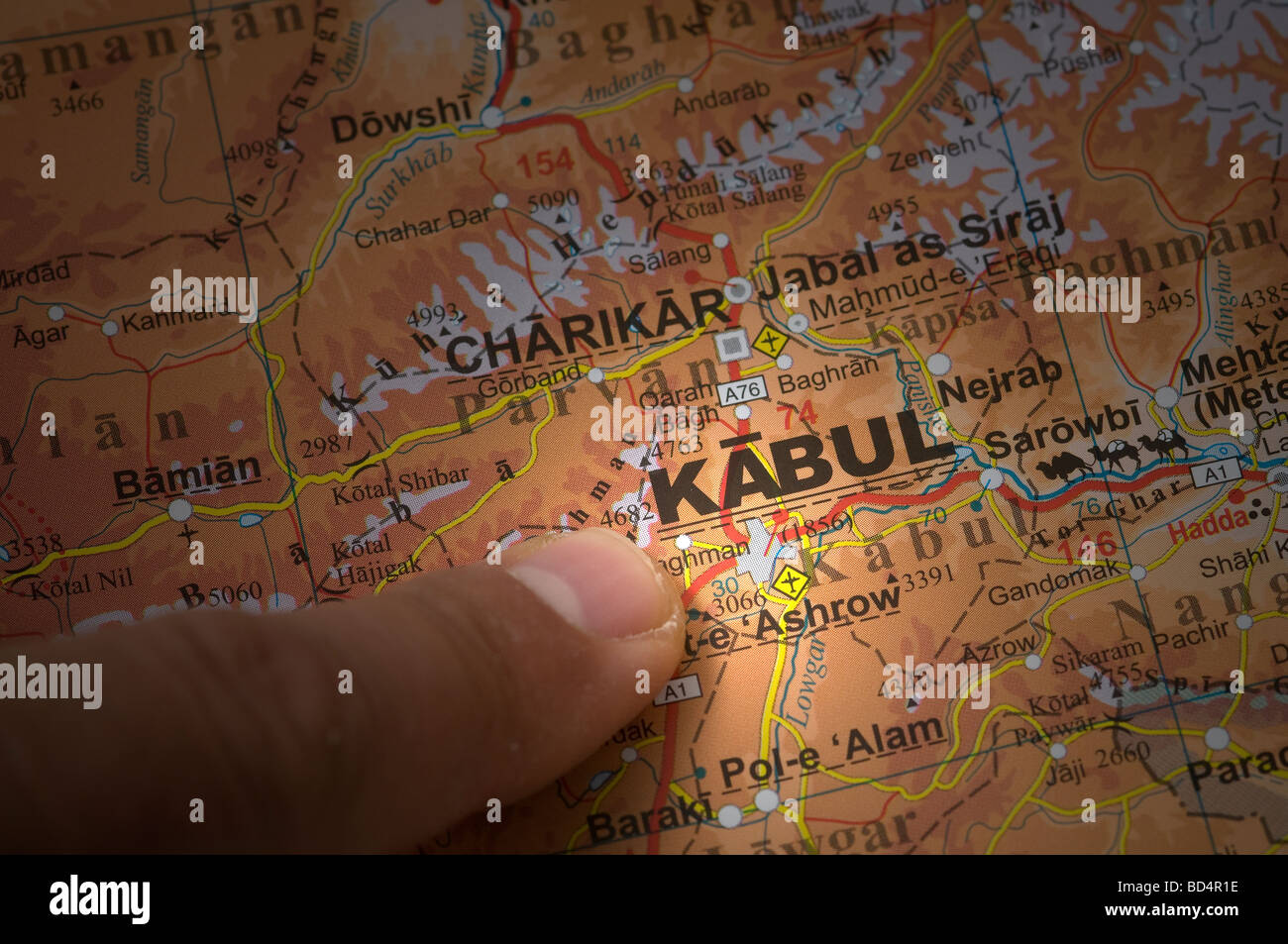 indicate with a finger the city of Kabul on a map Stock Photohttps://www.alamy.com/image-license-details/?v=1https://www.alamy.com/stock-photo-indicate-with-a-finger-the-city-of-kabul-on-a-map-25306778.html
RMBD4R1E–indicate with a finger the city of Kabul on a map
 Map of Afghanistan Stock Photohttps://www.alamy.com/image-license-details/?v=1https://www.alamy.com/stock-photo-map-of-afghanistan-48075567.html
RMCP60TF–Map of Afghanistan
 Red viewfinder over Afghanistan conflict Stock Photohttps://www.alamy.com/image-license-details/?v=1https://www.alamy.com/stock-photo-red-viewfinder-over-afghanistan-conflict-104056692.html
RFG185AC–Red viewfinder over Afghanistan conflict
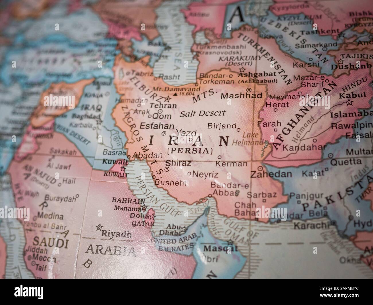 A photo of Iran on an old globe. Stock Photohttps://www.alamy.com/image-license-details/?v=1https://www.alamy.com/a-photo-of-iran-on-an-old-globe-image340967856.html
RF2APMBYC–A photo of Iran on an old globe.
 . English: This is Karl von Spruner’s 1865 map, Orbis Terrarum Regni Assyrii Tempore, or, The World at the Time of the Assyrian Empire. The map features six inserts: (from left to right) Egypt and Ethiopia, the Pyramids, The Pyramids at Memphis (Gaza), Thebes, Nineveh, with particular focus on the capital, and the world as known to the Hebrew peoples. Map focuses on modern day Egypt, Ethiopia, Somalia, Turkey, Saudia Arabia, Iraq, Iran, Afghanistan, Pakistan and India. Borders outlined in color with a key found in the lower-right quadrant. The whole is rendered in finely engraved detail exhib Stock Photohttps://www.alamy.com/image-license-details/?v=1https://www.alamy.com/english-this-is-karl-von-spruners-1865-map-orbis-terrarum-regni-assyrii-tempore-or-the-world-at-the-time-of-the-assyrian-empire-the-map-features-six-inserts-from-left-to-right-egypt-and-ethiopia-the-pyramids-the-pyramids-at-memphis-gaza-thebes-nineveh-with-particular-focus-on-the-capital-and-the-world-as-known-to-the-hebrew-peoples-map-focuses-on-modern-day-egypt-ethiopia-somalia-turkey-saudia-arabia-iraq-iran-afghanistan-pakistan-and-india-borders-outlined-in-color-with-a-key-found-in-the-lower-right-quadrant-the-whole-is-rendered-in-finely-engraved-detail-exhib-image184967414.html
RMMMWYR2–. English: This is Karl von Spruner’s 1865 map, Orbis Terrarum Regni Assyrii Tempore, or, The World at the Time of the Assyrian Empire. The map features six inserts: (from left to right) Egypt and Ethiopia, the Pyramids, The Pyramids at Memphis (Gaza), Thebes, Nineveh, with particular focus on the capital, and the world as known to the Hebrew peoples. Map focuses on modern day Egypt, Ethiopia, Somalia, Turkey, Saudia Arabia, Iraq, Iran, Afghanistan, Pakistan and India. Borders outlined in color with a key found in the lower-right quadrant. The whole is rendered in finely engraved detail exhib
 Afghanistan flag. Country flag with chrome flagpole on the world map with neighbors countries borders. 3d illustration rendering Stock Photohttps://www.alamy.com/image-license-details/?v=1https://www.alamy.com/stock-photo-afghanistan-flag-country-flag-with-chrome-flagpole-on-the-world-map-170016951.html
RFKTGX9Y–Afghanistan flag. Country flag with chrome flagpole on the world map with neighbors countries borders. 3d illustration rendering
 World Map with cases of Coronavirus focus on Afghanistan, COVID-19 disease in Afghanistan. Slogan Save Lives with flag of Afghanistan. Vector template Stock Vectorhttps://www.alamy.com/image-license-details/?v=1https://www.alamy.com/world-map-with-cases-of-coronavirus-focus-on-afghanistan-covid-19-disease-in-afghanistan-slogan-save-lives-with-flag-of-afghanistan-vector-template-image416839656.html
RF2F64K6G–World Map with cases of Coronavirus focus on Afghanistan, COVID-19 disease in Afghanistan. Slogan Save Lives with flag of Afghanistan. Vector template
 Illustration Vector Graphic Globe Afghanistan for different purpose in web and graphic design Stock Vectorhttps://www.alamy.com/image-license-details/?v=1https://www.alamy.com/stock-photo-illustration-vector-graphic-globe-afghanistan-for-different-purpose-101788472.html
RFFWGT6G–Illustration Vector Graphic Globe Afghanistan for different purpose in web and graphic design
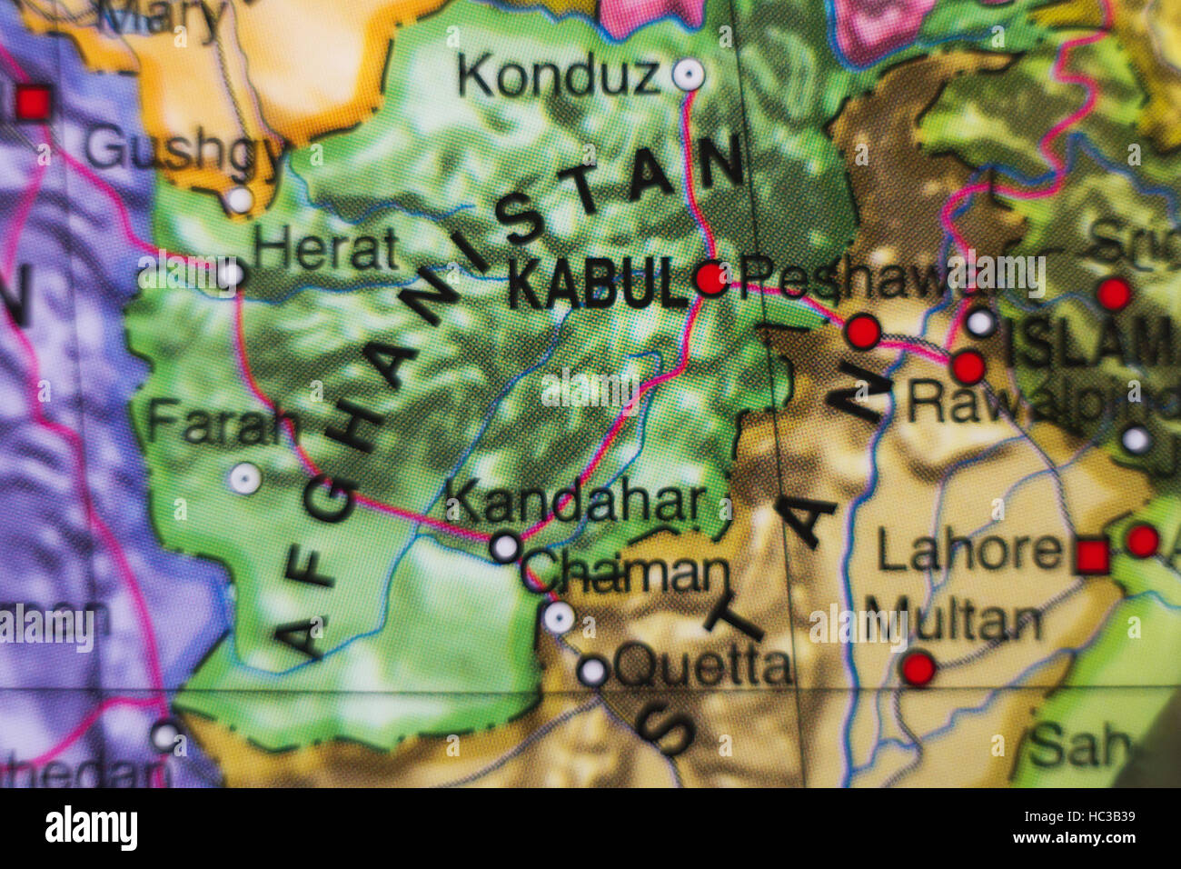 Photo of a map of Afghanistan and the capital Kabul . Stock Photohttps://www.alamy.com/image-license-details/?v=1https://www.alamy.com/stock-photo-photo-of-a-map-of-afghanistan-and-the-capital-kabul-127923021.html
RFHC3B39–Photo of a map of Afghanistan and the capital Kabul .
 Close up to a Farah city with a white pin needle into Afghanistan country political map Stock Photohttps://www.alamy.com/image-license-details/?v=1https://www.alamy.com/close-up-to-a-farah-city-with-a-white-pin-needle-into-afghanistan-country-political-map-image613778094.html
RF2XJG066–Close up to a Farah city with a white pin needle into Afghanistan country political map
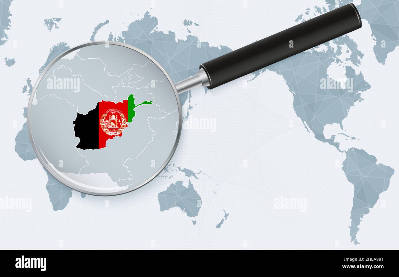 Asia centered world map with magnified glass on Afghanistan. Focus on map of Afghanistan on Pacific-centric World Map. Vector illustration. Stock Vectorhttps://www.alamy.com/image-license-details/?v=1https://www.alamy.com/asia-centered-world-map-with-magnified-glass-on-afghanistan-focus-on-map-of-afghanistan-on-pacific-centric-world-map-vector-illustration-image456301576.html
RF2HEA98T–Asia centered world map with magnified glass on Afghanistan. Focus on map of Afghanistan on Pacific-centric World Map. Vector illustration.
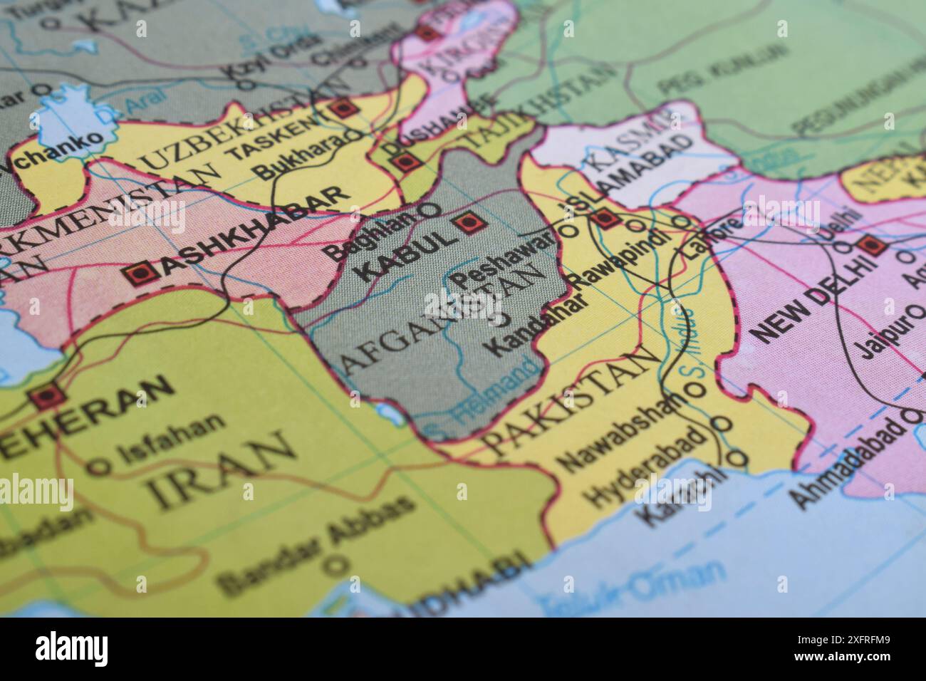 Close up of Afghanistan on world map Stock Photohttps://www.alamy.com/image-license-details/?v=1https://www.alamy.com/close-up-of-afghanistan-on-world-map-image612099945.html
RF2XFRFM9–Close up of Afghanistan on world map
 Selective focus to the country of Afghanistan on a colorful world globe in a concept of international travel, politics or education Stock Photohttps://www.alamy.com/image-license-details/?v=1https://www.alamy.com/selective-focus-to-the-country-of-afghanistan-on-a-colorful-world-globe-in-a-concept-of-international-travel-politics-or-education-image260325411.html
RFW3ERM3–Selective focus to the country of Afghanistan on a colorful world globe in a concept of international travel, politics or education
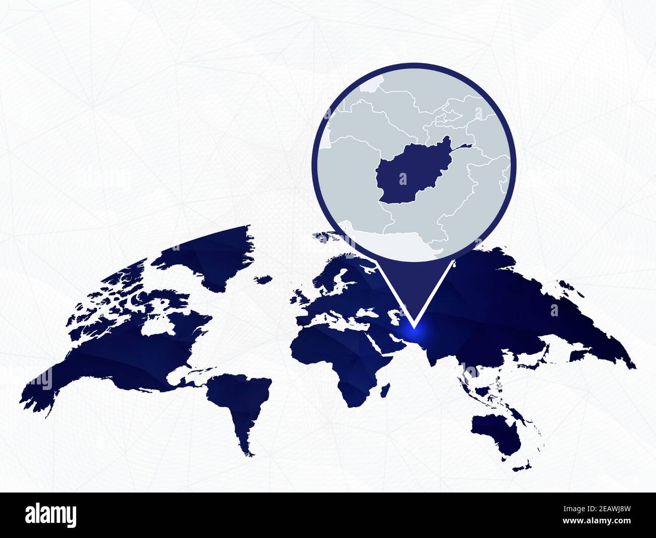 Afghanistan detailed map highlighted on blue rounded World Map. Map of Afghanistan in circle. Stock Vectorhttps://www.alamy.com/image-license-details/?v=1https://www.alamy.com/afghanistan-detailed-map-highlighted-on-blue-rounded-world-map-map-of-afghanistan-in-circle-image402548185.html
RF2EAWJ8W–Afghanistan detailed map highlighted on blue rounded World Map. Map of Afghanistan in circle.
 Shallow depth of field focus on geographical map location of Dasht-e Margow Desert Afghanistan Asia continent on atlas Stock Photohttps://www.alamy.com/image-license-details/?v=1https://www.alamy.com/shallow-depth-of-field-focus-on-geographical-map-location-of-dasht-e-margow-desert-afghanistan-asia-continent-on-atlas-image386353232.html
RF2DCFWDM–Shallow depth of field focus on geographical map location of Dasht-e Margow Desert Afghanistan Asia continent on atlas
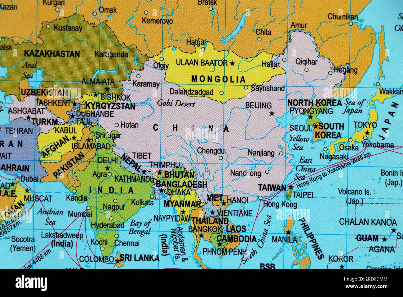 world map of asia and country borders, india, pakistan, china, mangolia in close up focus Stock Photohttps://www.alamy.com/image-license-details/?v=1https://www.alamy.com/world-map-of-asia-and-country-borders-india-pakistan-china-mangolia-in-close-up-focus-image558733076.html
RF2RD0DMM–world map of asia and country borders, india, pakistan, china, mangolia in close up focus
 Country of Afghanistan on model of Earth. 3D illustration. Elements of this image furnished by NASA. Stock Photohttps://www.alamy.com/image-license-details/?v=1https://www.alamy.com/stock-photo-country-of-afghanistan-on-model-of-earth-3d-illustration-elements-139712306.html
RFJ38CD6–Country of Afghanistan on model of Earth. 3D illustration. Elements of this image furnished by NASA.
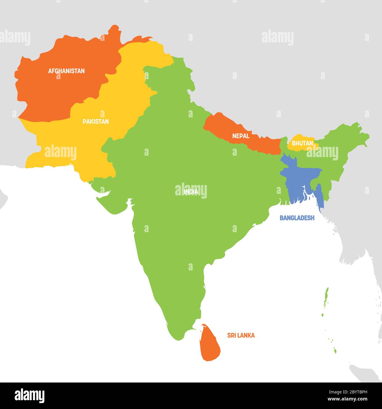 South Asia Region. Map of countries in southern Asia. Vector illustration. Stock Vectorhttps://www.alamy.com/image-license-details/?v=1https://www.alamy.com/south-asia-region-map-of-countries-in-southern-asia-vector-illustration-image361339177.html
RF2BYTBPH–South Asia Region. Map of countries in southern Asia. Vector illustration.
 Afghanistan national flag and the dollar bills. Business and finance concept, soft focus Stock Photohttps://www.alamy.com/image-license-details/?v=1https://www.alamy.com/afghanistan-national-flag-and-the-dollar-bills-business-and-finance-concept-soft-focus-image366309613.html
RF2C7XRJ5–Afghanistan national flag and the dollar bills. Business and finance concept, soft focus
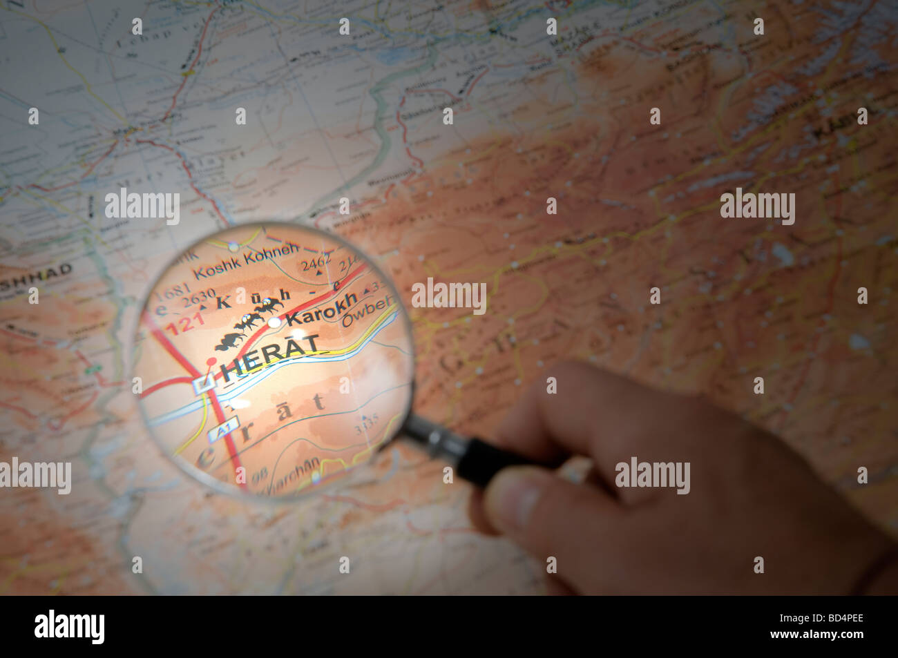 indicate with a finger the city of Herat on a map Stock Photohttps://www.alamy.com/image-license-details/?v=1https://www.alamy.com/stock-photo-indicate-with-a-finger-the-city-of-herat-on-a-map-25306358.html
RMBD4PEE–indicate with a finger the city of Herat on a map
RFPWXWDM–Saudia arabia map icon design vector
 Red viewfinder over Afghanistan conflict Stock Photohttps://www.alamy.com/image-license-details/?v=1https://www.alamy.com/stock-photo-red-viewfinder-over-afghanistan-conflict-104056693.html
RFG185AD–Red viewfinder over Afghanistan conflict
 Red marker over Afghanistan Stock Photohttps://www.alamy.com/image-license-details/?v=1https://www.alamy.com/stock-photo-red-marker-over-afghanistan-122811707.html
RFH3PFGB–Red marker over Afghanistan
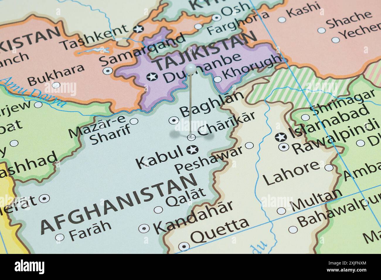 Close up to a Charikar city with a white pin needle into Afghanistan country political map Stock Photohttps://www.alamy.com/image-license-details/?v=1https://www.alamy.com/close-up-to-a-charikar-city-with-a-white-pin-needle-into-afghanistan-country-political-map-image613773180.html
RF2XJFNXM–Close up to a Charikar city with a white pin needle into Afghanistan country political map
 Close up of Afghanistan on world map Stock Photohttps://www.alamy.com/image-license-details/?v=1https://www.alamy.com/close-up-of-afghanistan-on-world-map-image612099952.html
RF2XFRFMG–Close up of Afghanistan on world map
 Shallow depth of field focus on geographical map location of Dasht-e Khash Desert Afghanistan Asia continent on atlas Stock Photohttps://www.alamy.com/image-license-details/?v=1https://www.alamy.com/shallow-depth-of-field-focus-on-geographical-map-location-of-dasht-e-khash-desert-afghanistan-asia-continent-on-atlas-image386353242.html
RF2DCFWE2–Shallow depth of field focus on geographical map location of Dasht-e Khash Desert Afghanistan Asia continent on atlas
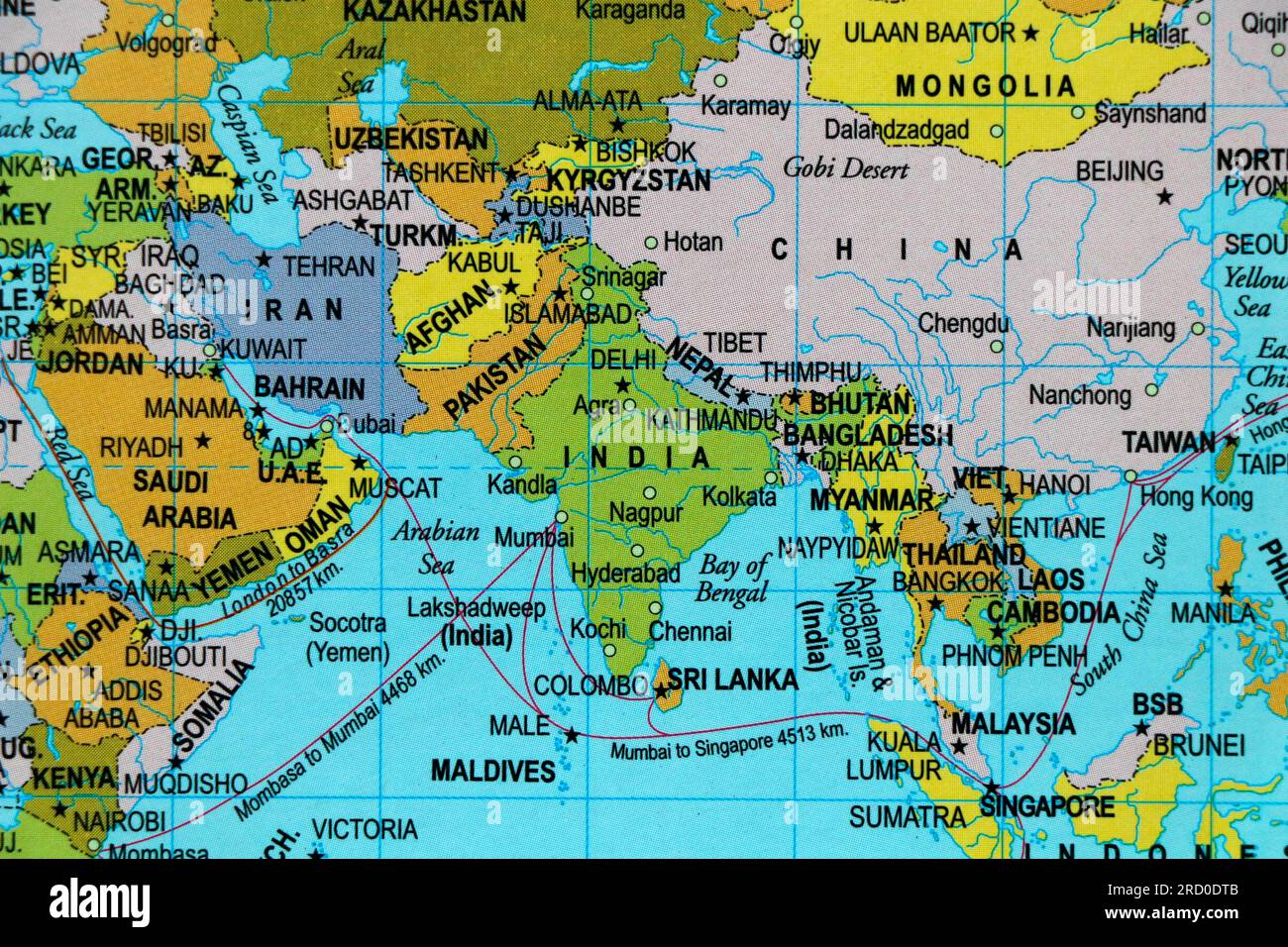 world map of asia continent and country borders, india, pakistan, china, mangolia in close up focus Stock Photohttps://www.alamy.com/image-license-details/?v=1https://www.alamy.com/world-map-of-asia-continent-and-country-borders-india-pakistan-china-mangolia-in-close-up-focus-image558733179.html
RF2RD0DTB–world map of asia continent and country borders, india, pakistan, china, mangolia in close up focus
 Shallow depth of field focus on geographical map location of Kabul Afghanistan Asia continent on atlas Stock Photohttps://www.alamy.com/image-license-details/?v=1https://www.alamy.com/shallow-depth-of-field-focus-on-geographical-map-location-of-kabul-afghanistan-asia-continent-on-atlas-image386947296.html
RF2DDEY68–Shallow depth of field focus on geographical map location of Kabul Afghanistan Asia continent on atlas
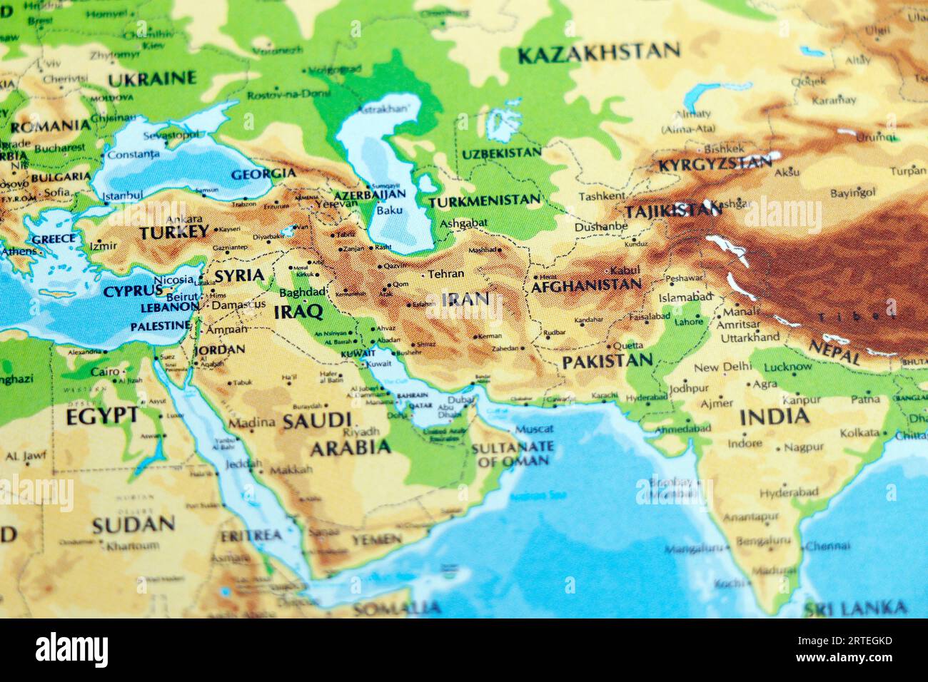 world map or atlas of asia and middle east countries, india, pakistan, afghanistan, iran, iraq , saudi arabia in focus Stock Photohttps://www.alamy.com/image-license-details/?v=1https://www.alamy.com/world-map-or-atlas-of-asia-and-middle-east-countries-india-pakistan-afghanistan-iran-iraq-saudi-arabia-in-focus-image565803937.html
RF2RTEGKD–world map or atlas of asia and middle east countries, india, pakistan, afghanistan, iran, iraq , saudi arabia in focus
 Shallow depth of field focus on geographical map location of country Afghanistan in Asia continent on atlas Stock Photohttps://www.alamy.com/image-license-details/?v=1https://www.alamy.com/shallow-depth-of-field-focus-on-geographical-map-location-of-country-afghanistan-in-asia-continent-on-atlas-image356645723.html
RF2BM6H77–Shallow depth of field focus on geographical map location of country Afghanistan in Asia continent on atlas
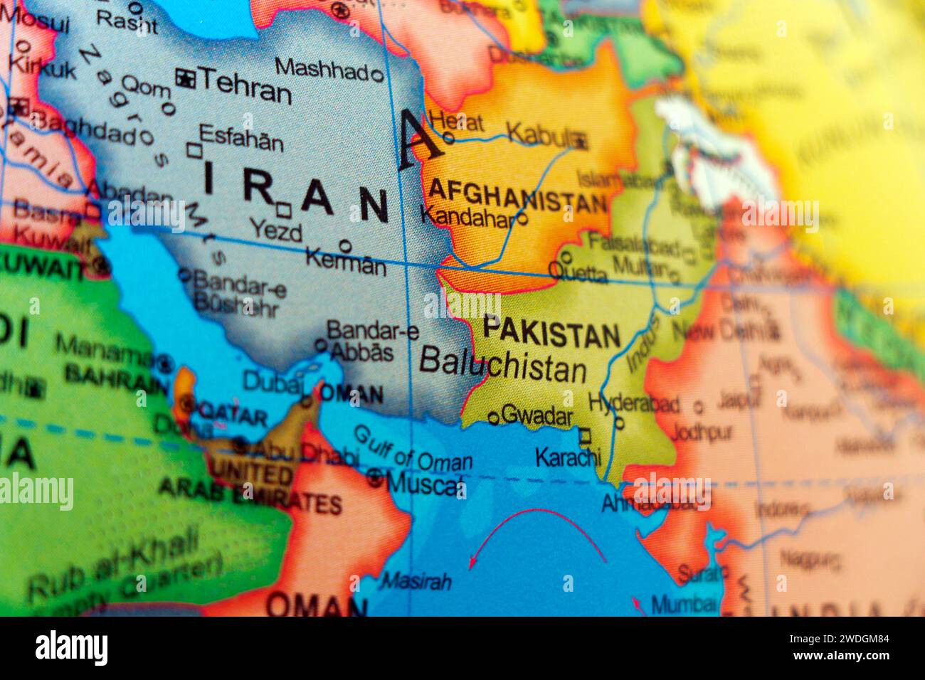 world map or atlas with iran and pakistan baluchistan in focus Stock Photohttps://www.alamy.com/image-license-details/?v=1https://www.alamy.com/world-map-or-atlas-with-iran-and-pakistan-baluchistan-in-focus-image593510180.html
RF2WDGM84–world map or atlas with iran and pakistan baluchistan in focus
 Shallow depth of field focus on geographical map location of Kabul city in Afghanistan Asia continent on atlas Stock Photohttps://www.alamy.com/image-license-details/?v=1https://www.alamy.com/shallow-depth-of-field-focus-on-geographical-map-location-of-kabul-city-in-afghanistan-asia-continent-on-atlas-image357748088.html
RF2BP0R9C–Shallow depth of field focus on geographical map location of Kabul city in Afghanistan Asia continent on atlas
 Afghanistan as seen from orbit on model of Earth. 3D illustration with atmosphere and reflective ocean waters. Elements of this image furnished by NAS Stock Photohttps://www.alamy.com/image-license-details/?v=1https://www.alamy.com/stock-photo-afghanistan-as-seen-from-orbit-on-model-of-earth-3d-illustration-with-139600586.html
RFJ339Y6–Afghanistan as seen from orbit on model of Earth. 3D illustration with atmosphere and reflective ocean waters. Elements of this image furnished by NAS
 South Asia Region. Map of countries in southern Asia. Vector illustration. Stock Vectorhttps://www.alamy.com/image-license-details/?v=1https://www.alamy.com/south-asia-region-map-of-countries-in-southern-asia-vector-illustration-image364677629.html
RF2C58E11–South Asia Region. Map of countries in southern Asia. Vector illustration.
 Red marker over Afghanistan Stock Photohttps://www.alamy.com/image-license-details/?v=1https://www.alamy.com/stock-photo-red-marker-over-afghanistan-104673822.html
RFG288EP–Red marker over Afghanistan
 Afghanistanin red color on model of Earth. 3D illustration with detailed planet surface, clouds and reflective ocean waters. Elements of this image f Stock Photohttps://www.alamy.com/image-license-details/?v=1https://www.alamy.com/stock-photo-afghanistanin-red-color-on-model-of-earth-3d-illustration-with-detailed-139879618.html
RFJ3G1TJ–Afghanistanin red color on model of Earth. 3D illustration with detailed planet surface, clouds and reflective ocean waters. Elements of this image f
RFPX54T6–Saudia arabia map icon design vector
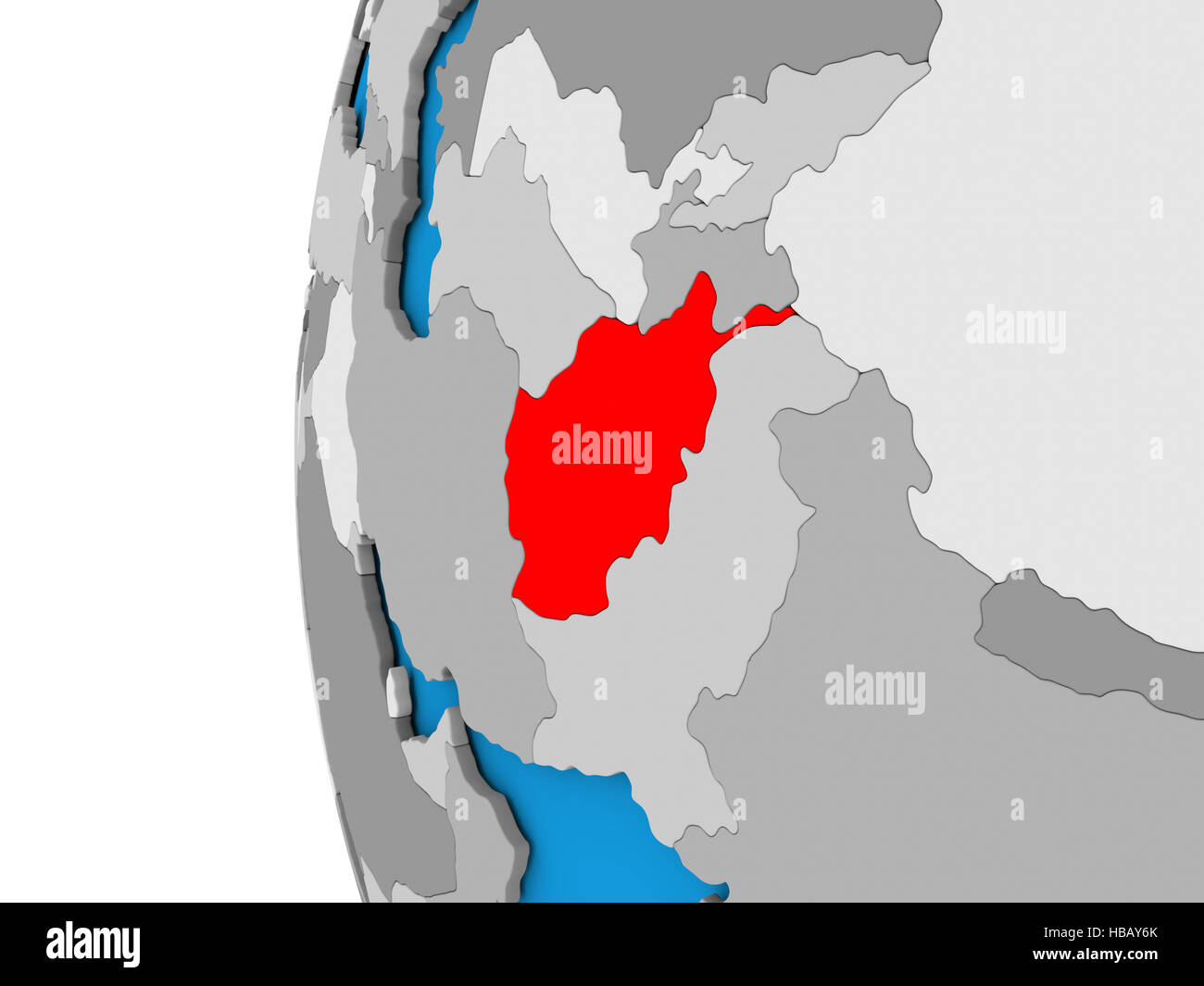 3D map of Afghanistan focused in red on simple globe. 3D illustration Stock Photohttps://www.alamy.com/image-license-details/?v=1https://www.alamy.com/stock-photo-3d-map-of-afghanistan-focused-in-red-on-simple-globe-3d-illustration-127474667.html
RFHBAY6K–3D map of Afghanistan focused in red on simple globe. 3D illustration
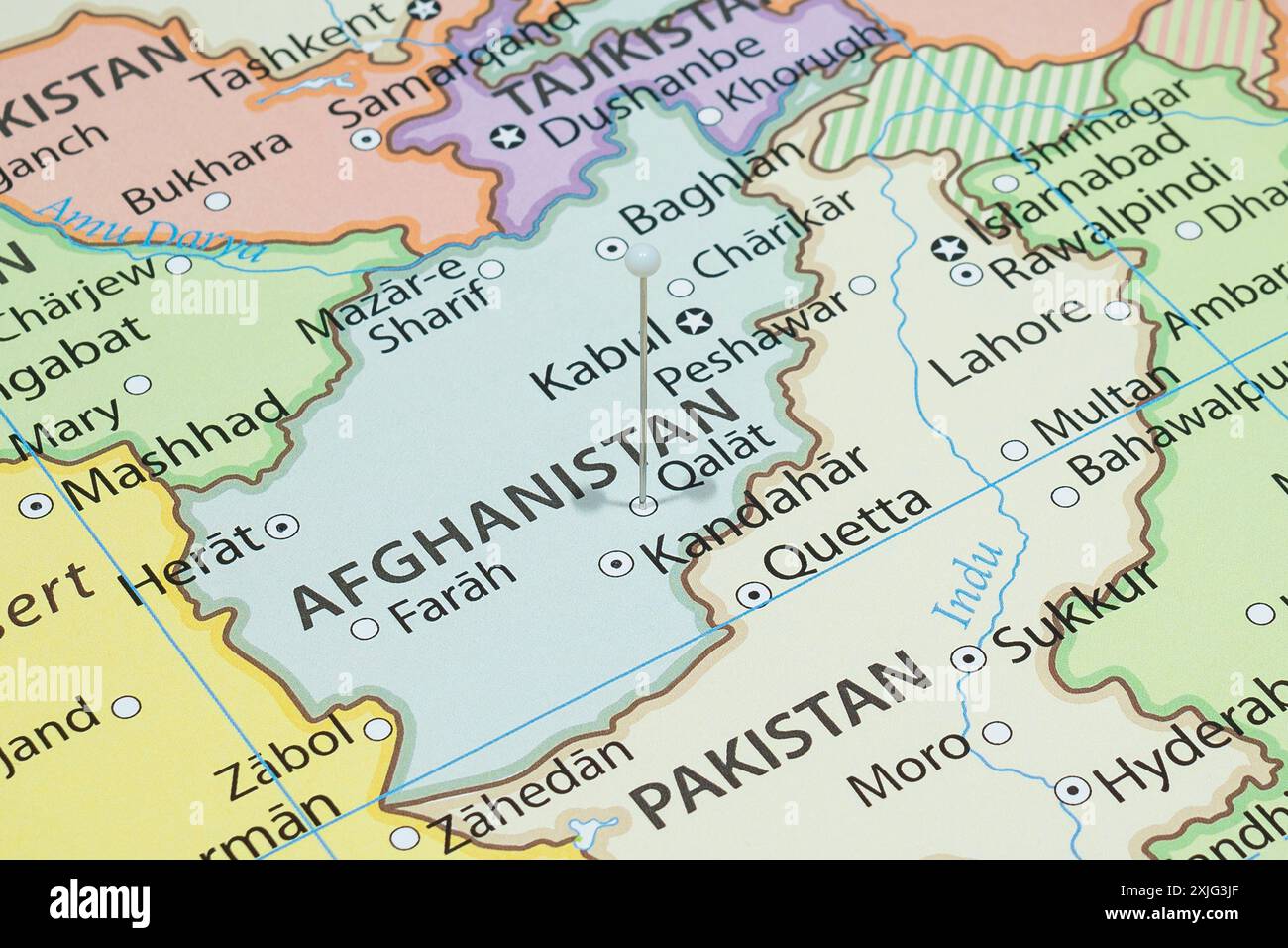 Close up to a Qalat city with a white pin needle into Afghanistan country political map Stock Photohttps://www.alamy.com/image-license-details/?v=1https://www.alamy.com/close-up-to-a-qalat-city-with-a-white-pin-needle-into-afghanistan-country-political-map-image613780791.html
RF2XJG3JF–Close up to a Qalat city with a white pin needle into Afghanistan country political map
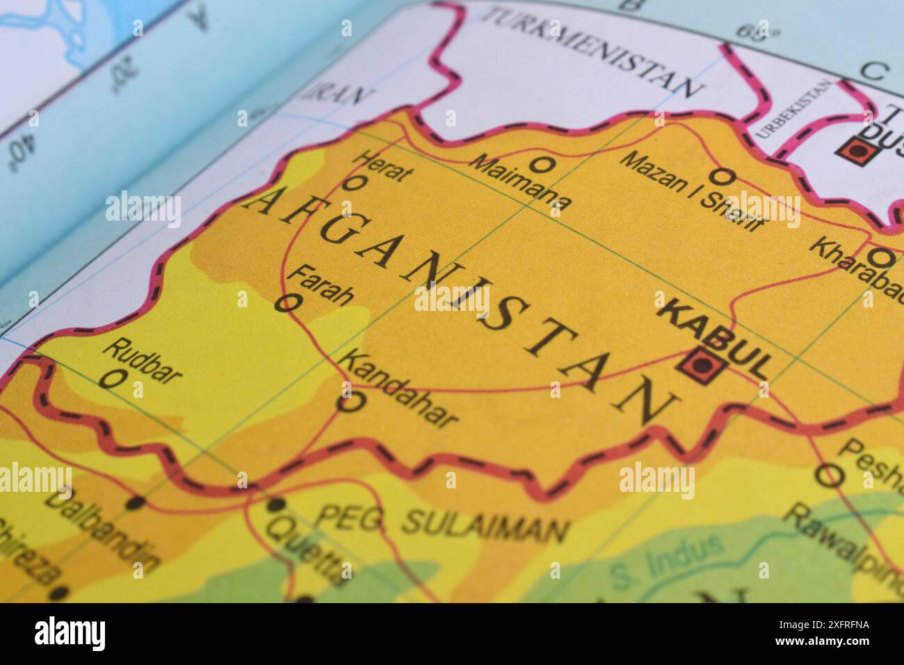 Close up of Afghanistan on world map Stock Photohttps://www.alamy.com/image-license-details/?v=1https://www.alamy.com/close-up-of-afghanistan-on-world-map-image612099974.html
RF2XFRFNA–Close up of Afghanistan on world map
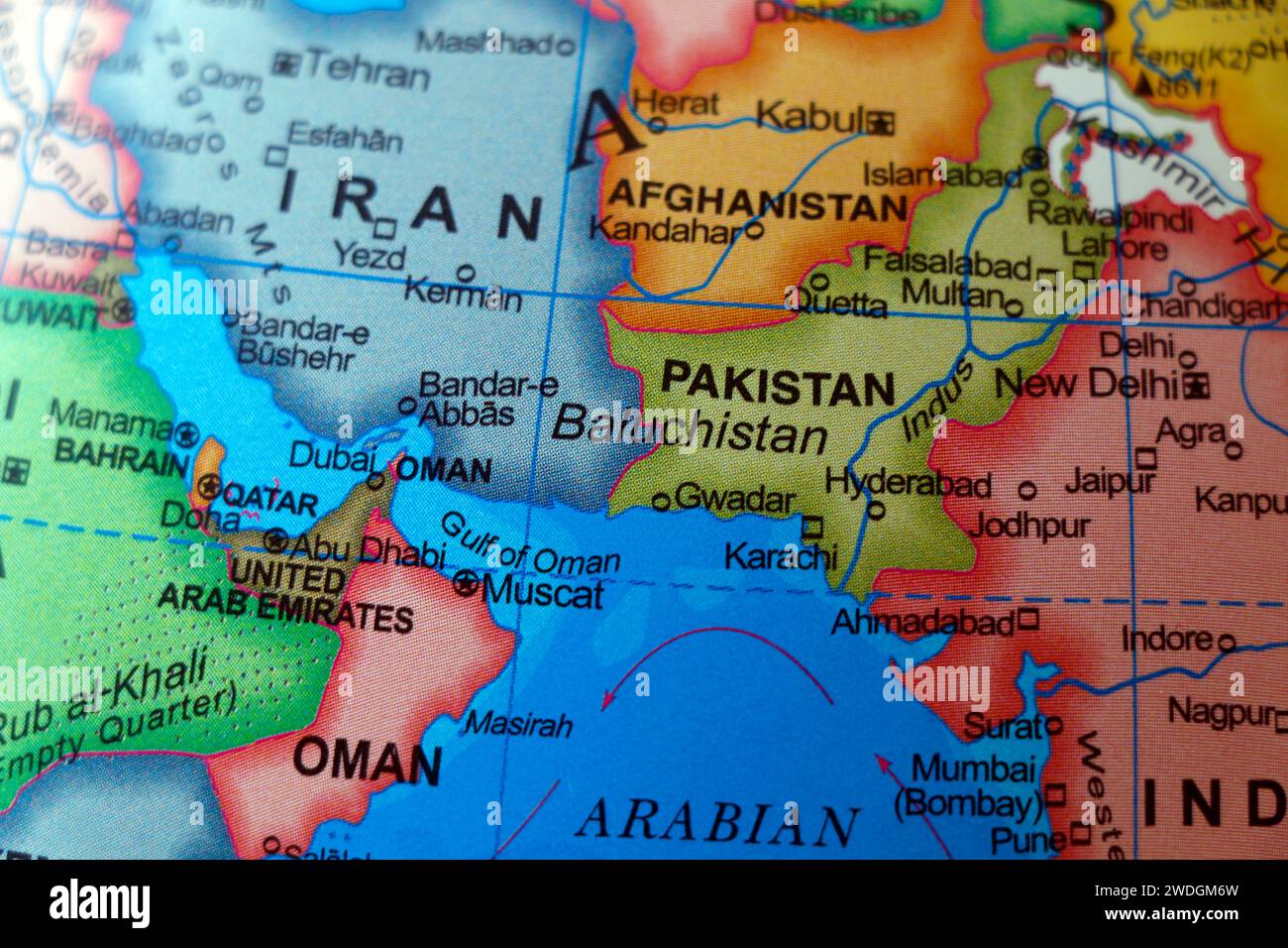 iran and pakistan border world map baluchistan in focus Stock Photohttps://www.alamy.com/image-license-details/?v=1https://www.alamy.com/iran-and-pakistan-border-world-map-baluchistan-in-focus-image593510145.html
RF2WDGM6W–iran and pakistan border world map baluchistan in focus
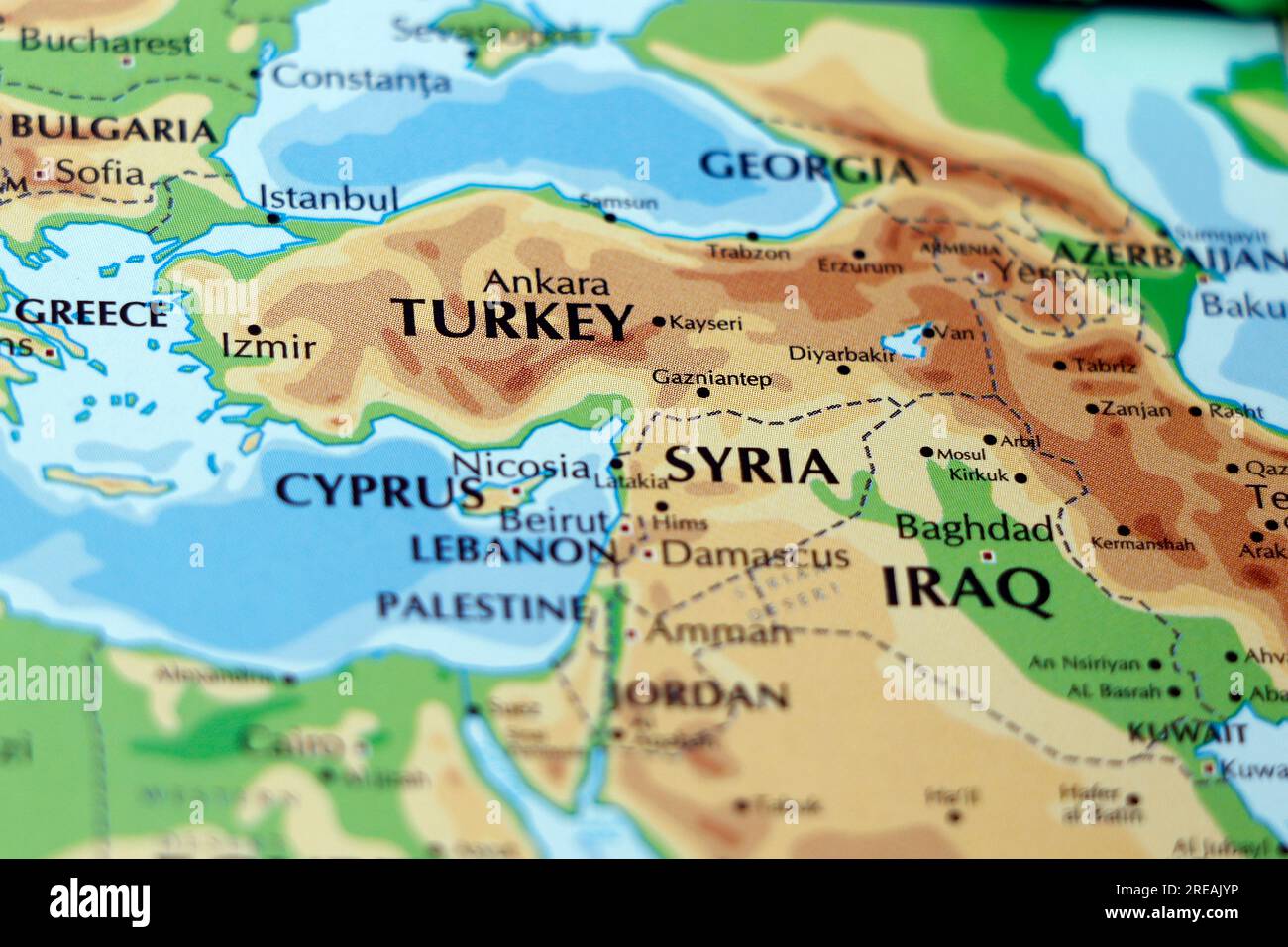 world map of south west asia countries with close up focus in turkey, syria and iraq Stock Photohttps://www.alamy.com/image-license-details/?v=1https://www.alamy.com/world-map-of-south-west-asia-countries-with-close-up-focus-in-turkey-syria-and-iraq-image559571370.html
RF2REAJYP–world map of south west asia countries with close up focus in turkey, syria and iraq
 South Asia Region. Map of countries in southern Asia. Vector illustration. Stock Vectorhttps://www.alamy.com/image-license-details/?v=1https://www.alamy.com/south-asia-region-map-of-countries-in-southern-asia-vector-illustration-image370059235.html
RF2CE1J97–South Asia Region. Map of countries in southern Asia. Vector illustration.
 Red marker over Afghanistan Stock Photohttps://www.alamy.com/image-license-details/?v=1https://www.alamy.com/stock-photo-red-marker-over-afghanistan-104673823.html
RFG288ER–Red marker over Afghanistan
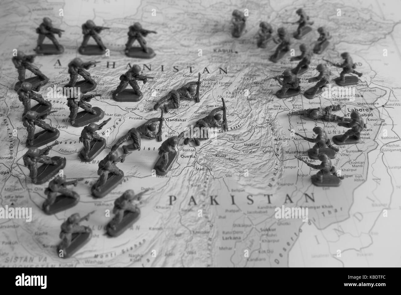 Afghanistan conflict Stock Photohttps://www.alamy.com/image-license-details/?v=1https://www.alamy.com/stock-image-afghanistan-conflict-161959152.html
RFKBDTFC–Afghanistan conflict
 Afghanistan highlighted in red on physical map. 3D illustration. Elements of this image furnished by NASA. Stock Photohttps://www.alamy.com/image-license-details/?v=1https://www.alamy.com/stock-photo-afghanistan-highlighted-in-red-on-physical-map-3d-illustration-elements-139880633.html
RFJ3G34W–Afghanistan highlighted in red on physical map. 3D illustration. Elements of this image furnished by NASA.
RFPWRXW8–Saudia arabia map icon design vector
 Close up to a Herat city with a white pin needle into Afghanistan country political map Stock Photohttps://www.alamy.com/image-license-details/?v=1https://www.alamy.com/close-up-to-a-herat-city-with-a-white-pin-needle-into-afghanistan-country-political-map-image613779092.html
RF2XJG1DT–Close up to a Herat city with a white pin needle into Afghanistan country political map
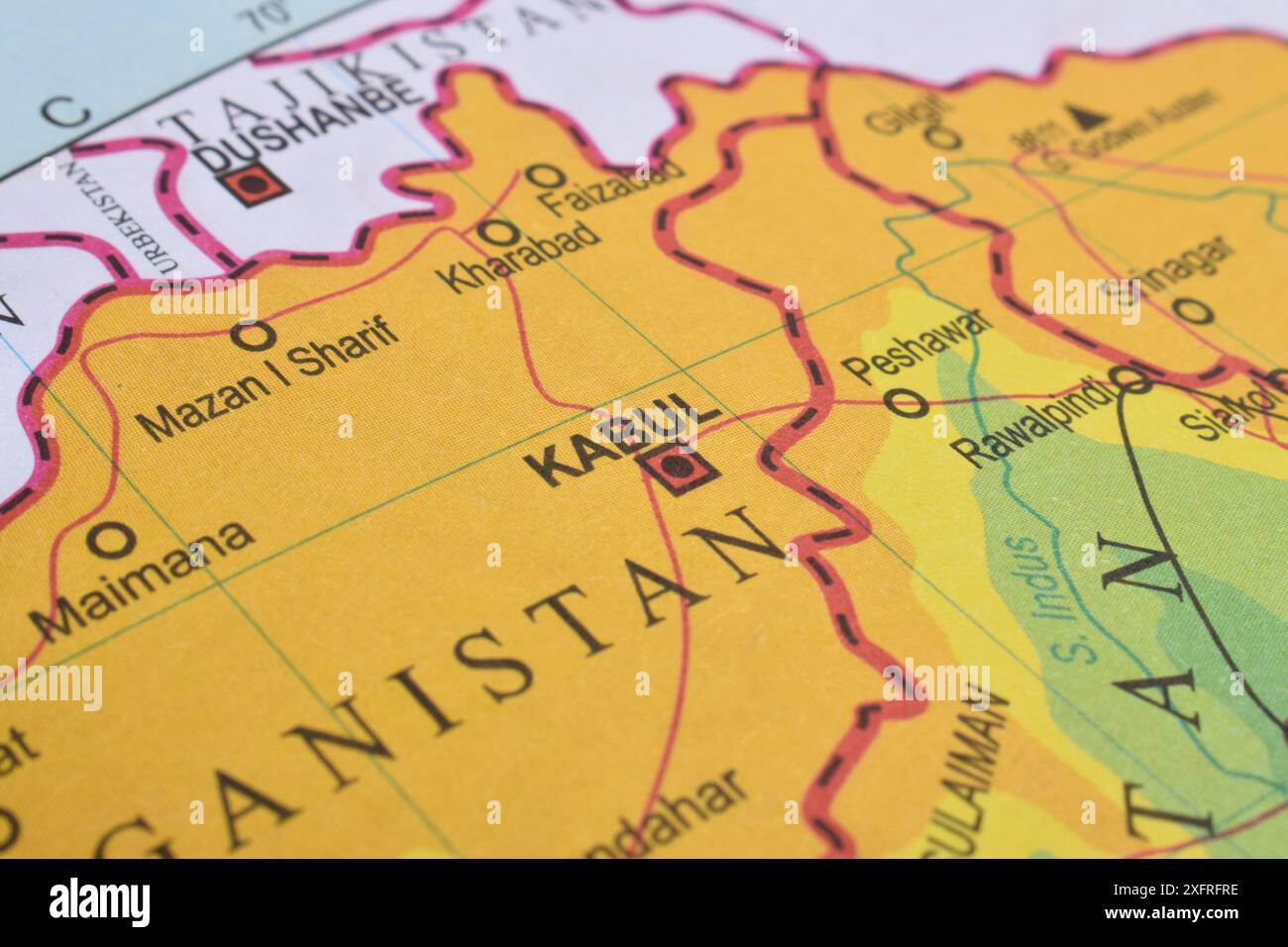 Close up of Kabul, Afghanistan on world map Stock Photohttps://www.alamy.com/image-license-details/?v=1https://www.alamy.com/close-up-of-kabul-afghanistan-on-world-map-image612100034.html
RF2XFRFRE–Close up of Kabul, Afghanistan on world map
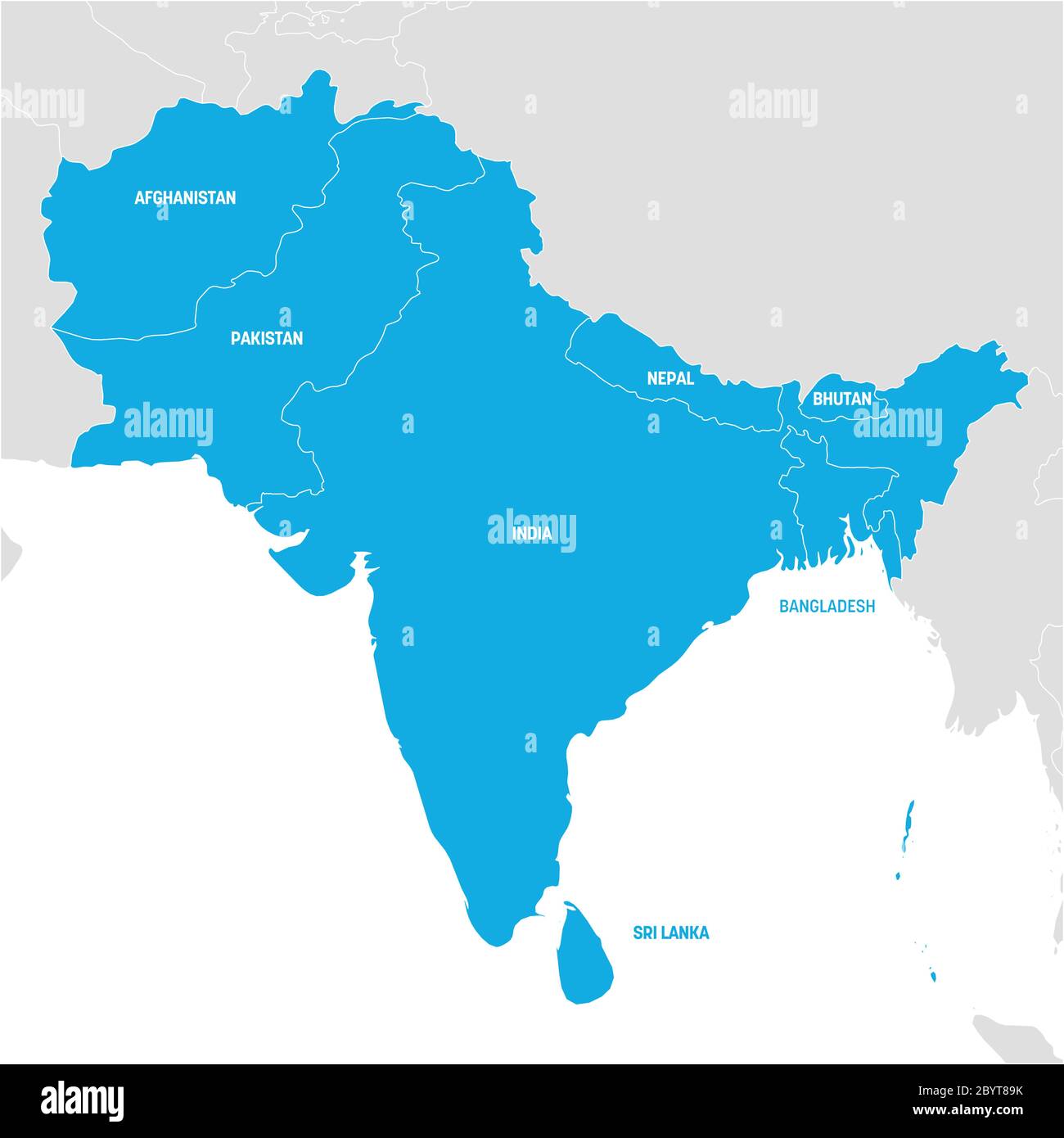 South Asia Region. Map of countries in southern Asia. Vector illustration. Stock Vectorhttps://www.alamy.com/image-license-details/?v=1https://www.alamy.com/south-asia-region-map-of-countries-in-southern-asia-vector-illustration-image361336463.html
RF2BYT89K–South Asia Region. Map of countries in southern Asia. Vector illustration.
 Afghanistan conflict Stock Photohttps://www.alamy.com/image-license-details/?v=1https://www.alamy.com/stock-image-afghanistan-conflict-161959154.html
RFKBDTFE–Afghanistan conflict
 Afghanistan highlighted in red on detailed model of planet Earth. 3D illustration. Elements of this image furnished by NASA. Stock Photohttps://www.alamy.com/image-license-details/?v=1https://www.alamy.com/stock-photo-afghanistan-highlighted-in-red-on-detailed-model-of-planet-earth-3d-139878448.html
RFJ3G0AT–Afghanistan highlighted in red on detailed model of planet Earth. 3D illustration. Elements of this image furnished by NASA.
RFPXY1RW–Saudia arabia map icon design vector
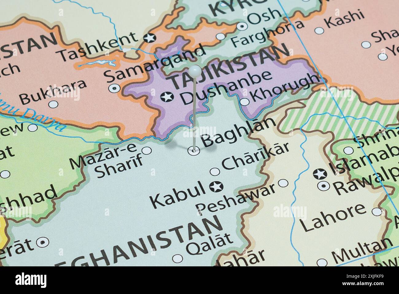 Close up to a Baghlan city with a white pin needle into Afghanistan country political map Stock Photohttps://www.alamy.com/image-license-details/?v=1https://www.alamy.com/close-up-to-a-baghlan-city-with-a-white-pin-needle-into-afghanistan-country-political-map-image613771293.html
RF2XJFKF9–Close up to a Baghlan city with a white pin needle into Afghanistan country political map
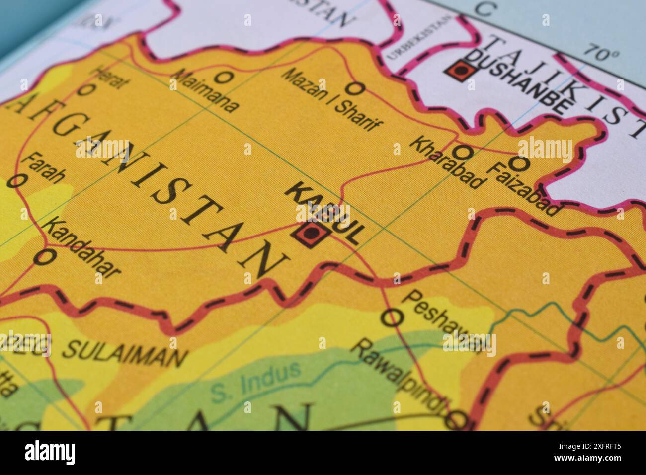 Close up of Kabul, Afghanistan on world map Stock Photohttps://www.alamy.com/image-license-details/?v=1https://www.alamy.com/close-up-of-kabul-afghanistan-on-world-map-image612100053.html
RF2XFRFT5–Close up of Kabul, Afghanistan on world map
 Close up of Afghanistan on world map Stock Photohttps://www.alamy.com/image-license-details/?v=1https://www.alamy.com/close-up-of-afghanistan-on-world-map-image612099986.html
RF2XFRFNP–Close up of Afghanistan on world map
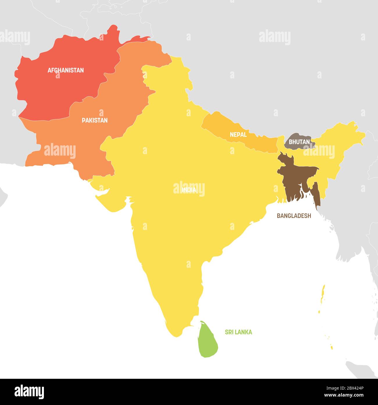 South Asia Region. Colorful map of countries in southern Asia. Vector illustration. Stock Vectorhttps://www.alamy.com/image-license-details/?v=1https://www.alamy.com/south-asia-region-colorful-map-of-countries-in-southern-asia-vector-illustration-image360277926.html
RF2BX424P–South Asia Region. Colorful map of countries in southern Asia. Vector illustration.
 Afghanistan conflict Stock Photohttps://www.alamy.com/image-license-details/?v=1https://www.alamy.com/stock-image-afghanistan-conflict-161959153.html
RFKBDTFD–Afghanistan conflict
 Afghanistan highlighted in red on detailed model of planet Earth. 3D illustration. Elements of this image furnished by NASA. Stock Photohttps://www.alamy.com/image-license-details/?v=1https://www.alamy.com/stock-photo-afghanistan-highlighted-in-red-on-detailed-model-of-planet-earth-3d-139660728.html
RFJ362K4–Afghanistan highlighted in red on detailed model of planet Earth. 3D illustration. Elements of this image furnished by NASA.
RFPY4DY2–Saudia arabia map icon design vector
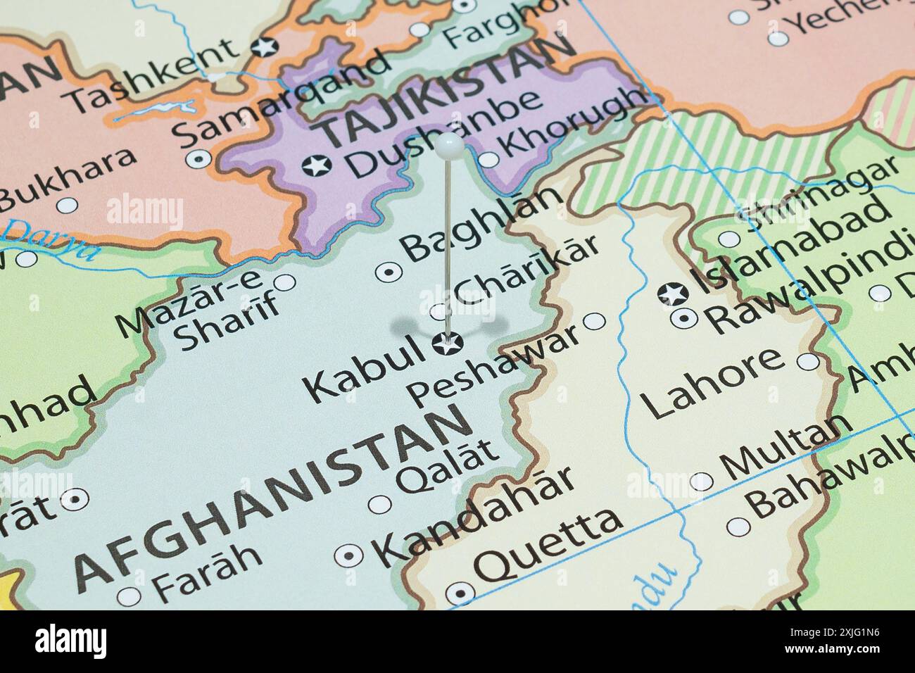 Close up to a Kabul city with a white pin needle into Afghanistan country political map Stock Photohttps://www.alamy.com/image-license-details/?v=1https://www.alamy.com/close-up-to-a-kabul-city-with-a-white-pin-needle-into-afghanistan-country-political-map-image613779298.html
RF2XJG1N6–Close up to a Kabul city with a white pin needle into Afghanistan country political map
RFPRKY8B–Saudia arabia map icon design vector
 Afghanistan conflict Stock Photohttps://www.alamy.com/image-license-details/?v=1https://www.alamy.com/stock-image-afghanistan-conflict-161959151.html
RFKBDTFB–Afghanistan conflict
 Afghanistan in red on model of planet Earth as seen from orbit. 3D illustration with detailed planet surface. Elements of this image furnished by NASA Stock Photohttps://www.alamy.com/image-license-details/?v=1https://www.alamy.com/stock-photo-afghanistan-in-red-on-model-of-planet-earth-as-seen-from-orbit-3d-139456308.html
RFJ2TNXC–Afghanistan in red on model of planet Earth as seen from orbit. 3D illustration with detailed planet surface. Elements of this image furnished by NASA
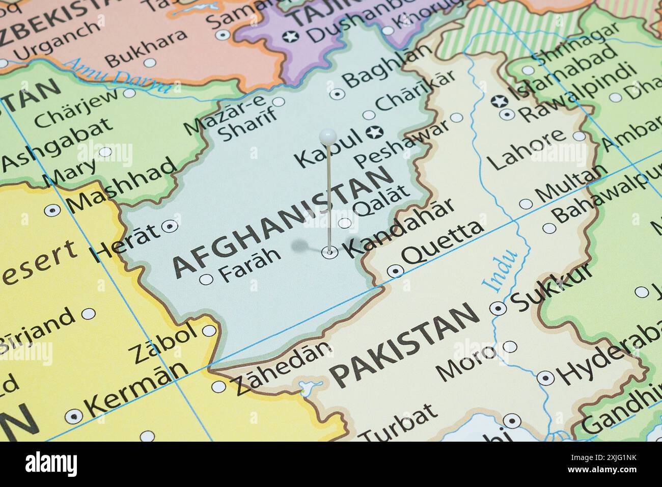 Close up to a Kandahar city with a white pin needle into Afghanistan country political map Stock Photohttps://www.alamy.com/image-license-details/?v=1https://www.alamy.com/close-up-to-a-kandahar-city-with-a-white-pin-needle-into-afghanistan-country-political-map-image613779311.html
RF2XJG1NK–Close up to a Kandahar city with a white pin needle into Afghanistan country political map
RFPX1TKD–Saudia arabia map icon design vector
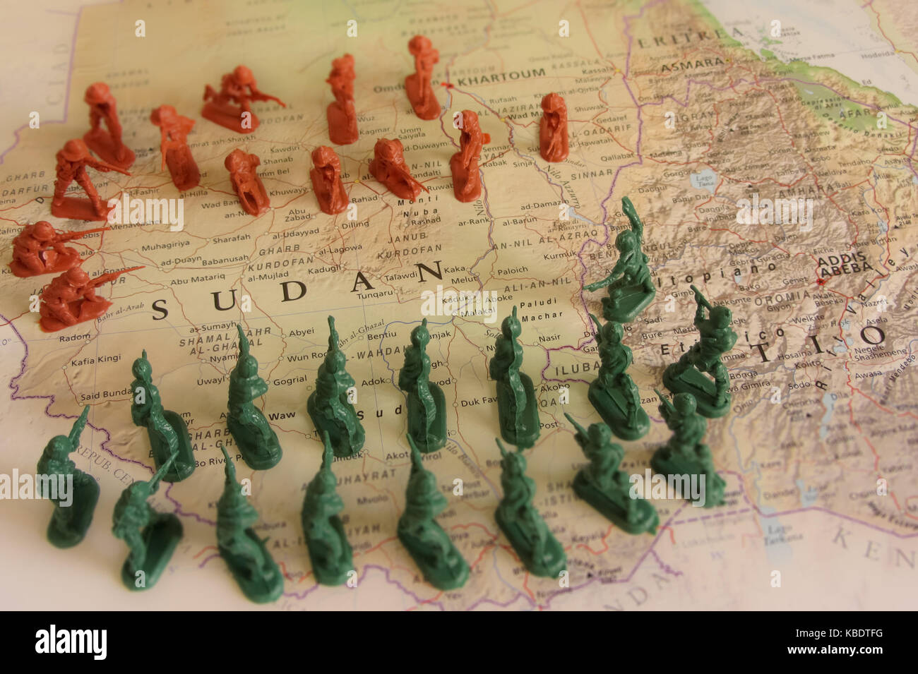 Sudan conflict Stock Photohttps://www.alamy.com/image-license-details/?v=1https://www.alamy.com/stock-image-sudan-conflict-161959156.html
RFKBDTFG–Sudan conflict
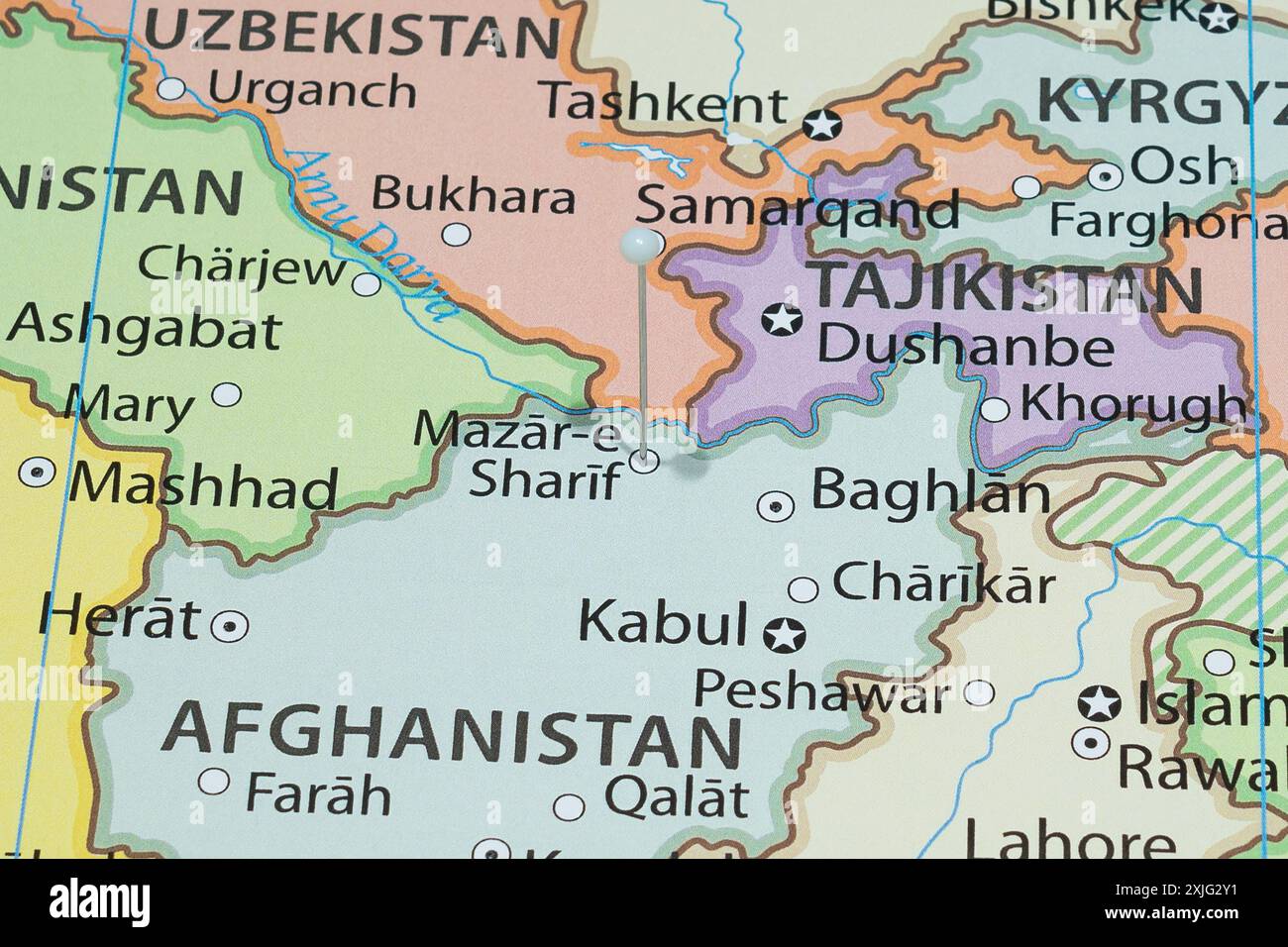 Close up to a Mazar i Sharif city with a white pin needle into Afghanistan country political map Stock Photohttps://www.alamy.com/image-license-details/?v=1https://www.alamy.com/close-up-to-a-mazar-i-sharif-city-with-a-white-pin-needle-into-afghanistan-country-political-map-image613780245.html
RF2XJG2Y1–Close up to a Mazar i Sharif city with a white pin needle into Afghanistan country political map
RFPY3W4E–Saudia arabia map icon design vector
 Red viewfinder over USA conflict Stock Photohttps://www.alamy.com/image-license-details/?v=1https://www.alamy.com/stock-photo-red-viewfinder-over-usa-conflict-104056691.html
RFG185AB–Red viewfinder over USA conflict
RFPTDJE3–Saudia arabia map icon design vector
 Red viewfinder over Sudan conflict Stock Photohttps://www.alamy.com/image-license-details/?v=1https://www.alamy.com/stock-photo-red-viewfinder-over-sudan-conflict-104056694.html
RFG185AE–Red viewfinder over Sudan conflict
RFPWRWTM–Saudia arabia map icon design vector
RFPWRF5E–Saudia arabia map icon design vector