Alamogordo new mexico map Stock Photos and Images
(75)See alamogordo new mexico map stock video clipsQuick filters:
Alamogordo new mexico map Stock Photos and Images
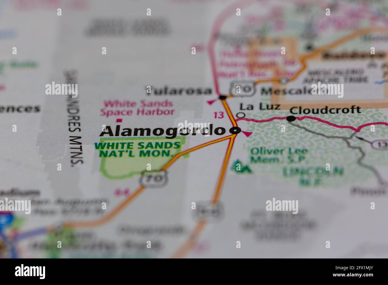 Alamogordo New Mexico USA shown on a Geography map or road ma Stock Photohttps://www.alamy.com/image-license-details/?v=1https://www.alamy.com/alamogordo-new-mexico-usa-shown-on-a-geography-map-or-road-ma-image429068051.html
RM2FX1MJY–Alamogordo New Mexico USA shown on a Geography map or road ma
 Alamogordo pinned on a map of New Mexico, USA Stock Photohttps://www.alamy.com/image-license-details/?v=1https://www.alamy.com/alamogordo-pinned-on-a-map-of-new-mexico-usa-image359838296.html
RF2BWC1BM–Alamogordo pinned on a map of New Mexico, USA
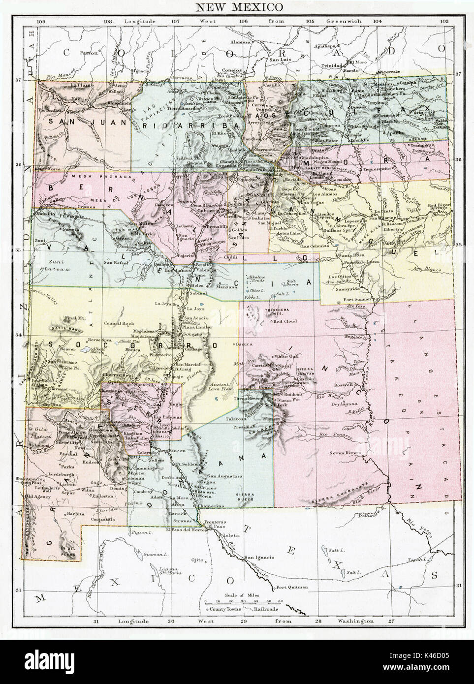 Antique map, circa 1875, of New Mexico Stock Photohttps://www.alamy.com/image-license-details/?v=1https://www.alamy.com/antique-map-circa-1875-of-new-mexico-image157493845.html
RMK46D05–Antique map, circa 1875, of New Mexico
 Alamogordo, Otero County, US, United States, New Mexico, N 32 53' 58'', S 105 57' 36'', map, Cartascapes Map published in 2024. Explore Cartascapes, a map revealing Earth's diverse landscapes, cultures, and ecosystems. Journey through time and space, discovering the interconnectedness of our planet's past, present, and future. Stock Photohttps://www.alamy.com/image-license-details/?v=1https://www.alamy.com/alamogordo-otero-county-us-united-states-new-mexico-n-32-53-58-s-105-57-36-map-cartascapes-map-published-in-2024-explore-cartascapes-a-map-revealing-earths-diverse-landscapes-cultures-and-ecosystems-journey-through-time-and-space-discovering-the-interconnectedness-of-our-planets-past-present-and-future-image621189682.html
RM2Y2HHNP–Alamogordo, Otero County, US, United States, New Mexico, N 32 53' 58'', S 105 57' 36'', map, Cartascapes Map published in 2024. Explore Cartascapes, a map revealing Earth's diverse landscapes, cultures, and ecosystems. Journey through time and space, discovering the interconnectedness of our planet's past, present, and future.
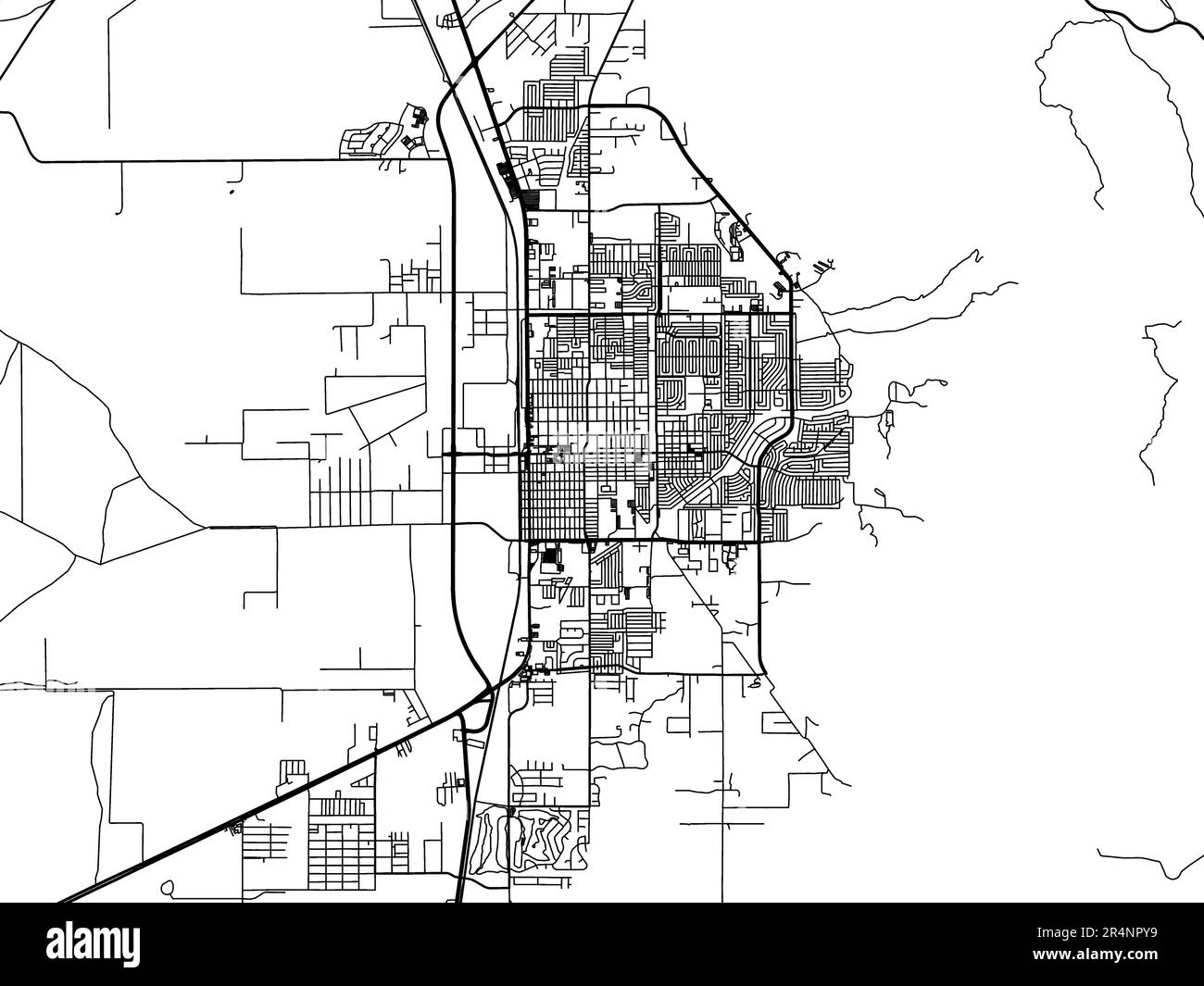 Vector road map of the city of Alamogordo New Mexico in the United States of America on a white background. Stock Photohttps://www.alamy.com/image-license-details/?v=1https://www.alamy.com/vector-road-map-of-the-city-of-alamogordo-new-mexico-in-the-united-states-of-america-on-a-white-background-image553669405.html
RF2R4NPY9–Vector road map of the city of Alamogordo New Mexico in the United States of America on a white background.
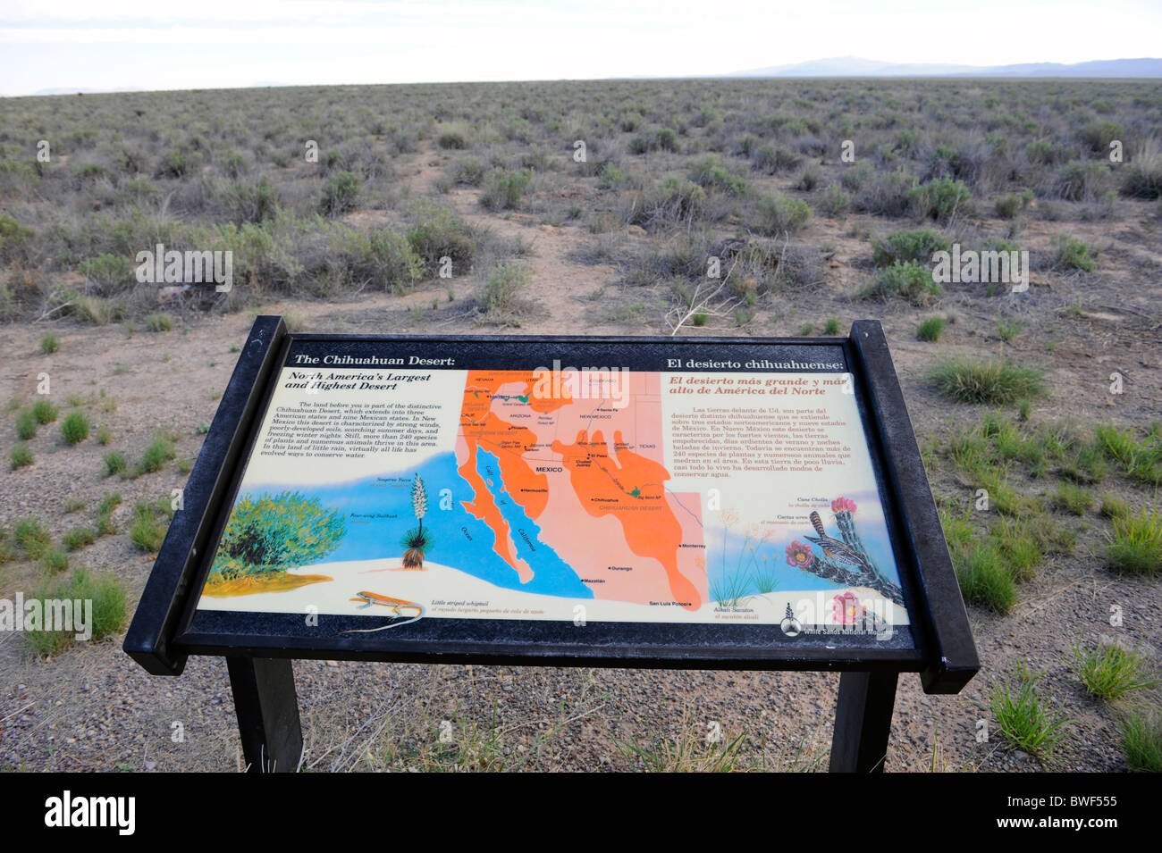 Map of White Sands National Monument New Mexico Stock Photohttps://www.alamy.com/image-license-details/?v=1https://www.alamy.com/stock-photo-map-of-white-sands-national-monument-new-mexico-32910113.html
RMBWF555–Map of White Sands National Monument New Mexico
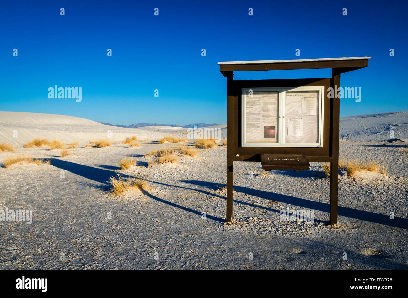 Kiosk at the Alkali Flat trailhead, White Sands National Monument, New Mexico USA Stock Photohttps://www.alamy.com/image-license-details/?v=1https://www.alamy.com/stock-photo-kiosk-at-the-alkali-flat-trailhead-white-sands-national-monument-new-77427260.html
RMEDY378–Kiosk at the Alkali Flat trailhead, White Sands National Monument, New Mexico USA
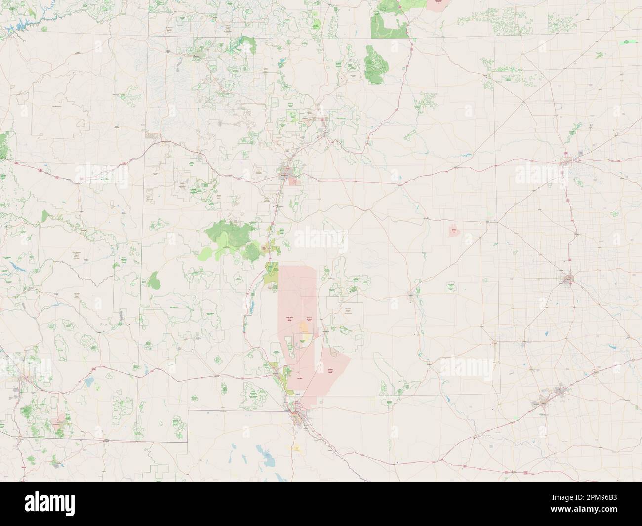 New Mexico, state of United States of America. Open Street Map Stock Photohttps://www.alamy.com/image-license-details/?v=1https://www.alamy.com/new-mexico-state-of-united-states-of-america-open-street-map-image546017111.html
RF2PM96B3–New Mexico, state of United States of America. Open Street Map
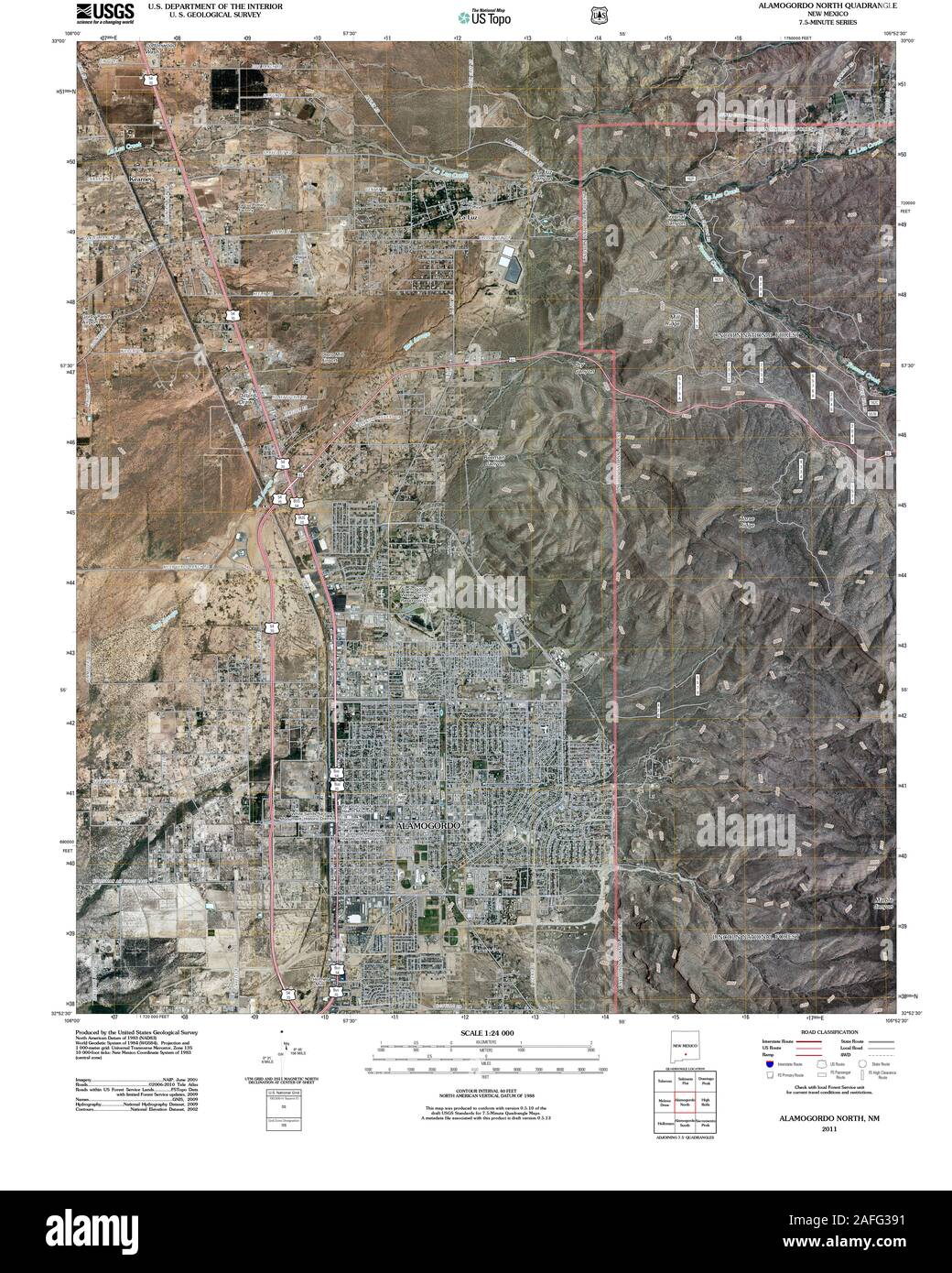 USGS TOPO Map New Mexico NM Alamogordo North 20110302 TM Restoration Stock Photohttps://www.alamy.com/image-license-details/?v=1https://www.alamy.com/usgs-topo-map-new-mexico-nm-alamogordo-north-20110302-tm-restoration-image336570669.html
RM2AFG391–USGS TOPO Map New Mexico NM Alamogordo North 20110302 TM Restoration
 New Mexico state cities list Stock Photohttps://www.alamy.com/image-license-details/?v=1https://www.alamy.com/new-mexico-state-cities-list-image245847547.html
RFT7Y91F–New Mexico state cities list
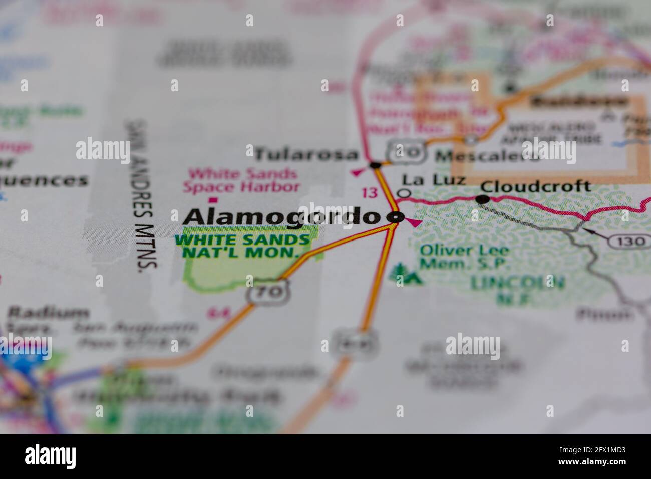 Alamogordo New Mexico USA shown on a Geography map or road ma Stock Photohttps://www.alamy.com/image-license-details/?v=1https://www.alamy.com/alamogordo-new-mexico-usa-shown-on-a-geography-map-or-road-ma-image429067887.html
RM2FX1MD3–Alamogordo New Mexico USA shown on a Geography map or road ma
 Alamogordo, Otero County, US, United States, New Mexico, N 32 53' 58'', S 105 57' 36'', map, Cartascapes Map published in 2024. Explore Cartascapes, a map revealing Earth's diverse landscapes, cultures, and ecosystems. Journey through time and space, discovering the interconnectedness of our planet's past, present, and future. Stock Photohttps://www.alamy.com/image-license-details/?v=1https://www.alamy.com/alamogordo-otero-county-us-united-states-new-mexico-n-32-53-58-s-105-57-36-map-cartascapes-map-published-in-2024-explore-cartascapes-a-map-revealing-earths-diverse-landscapes-cultures-and-ecosystems-journey-through-time-and-space-discovering-the-interconnectedness-of-our-planets-past-present-and-future-image620713092.html
RM2Y1RWTM–Alamogordo, Otero County, US, United States, New Mexico, N 32 53' 58'', S 105 57' 36'', map, Cartascapes Map published in 2024. Explore Cartascapes, a map revealing Earth's diverse landscapes, cultures, and ecosystems. Journey through time and space, discovering the interconnectedness of our planet's past, present, and future.
 New Mexico, state of United States of America. High resolution satellite map Stock Photohttps://www.alamy.com/image-license-details/?v=1https://www.alamy.com/new-mexico-state-of-united-states-of-america-high-resolution-satellite-map-image546017130.html
RF2PM96BP–New Mexico, state of United States of America. High resolution satellite map
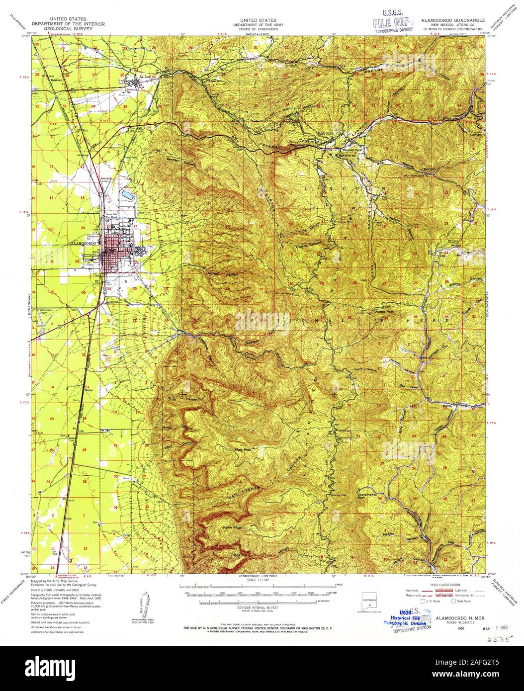 USGS TOPO Map New Mexico NM Alamogordo 189521 1950 62500 Restoration Stock Photohttps://www.alamy.com/image-license-details/?v=1https://www.alamy.com/usgs-topo-map-new-mexico-nm-alamogordo-189521-1950-62500-restoration-image336570309.html
RM2AFG2T5–USGS TOPO Map New Mexico NM Alamogordo 189521 1950 62500 Restoration
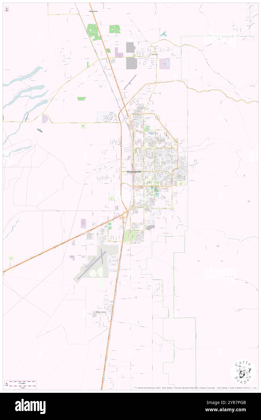 City of Alamogordo, Otero County, US, United States, New Mexico, N 32 53' 0'', S 105 57' 45'', map, Cartascapes Map published in 2024. Explore Cartascapes, a map revealing Earth's diverse landscapes, cultures, and ecosystems. Journey through time and space, discovering the interconnectedness of our planet's past, present, and future. Stock Photohttps://www.alamy.com/image-license-details/?v=1https://www.alamy.com/city-of-alamogordo-otero-county-us-united-states-new-mexico-n-32-53-0-s-105-57-45-map-cartascapes-map-published-in-2024-explore-cartascapes-a-map-revealing-earths-diverse-landscapes-cultures-and-ecosystems-journey-through-time-and-space-discovering-the-interconnectedness-of-our-planets-past-present-and-future-image633881707.html
RM2YR7PGB–City of Alamogordo, Otero County, US, United States, New Mexico, N 32 53' 0'', S 105 57' 45'', map, Cartascapes Map published in 2024. Explore Cartascapes, a map revealing Earth's diverse landscapes, cultures, and ecosystems. Journey through time and space, discovering the interconnectedness of our planet's past, present, and future.
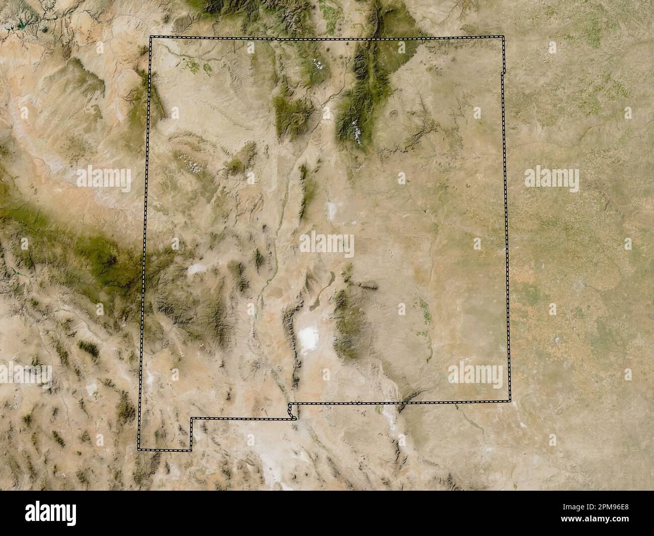 New Mexico, state of United States of America. Low resolution satellite map Stock Photohttps://www.alamy.com/image-license-details/?v=1https://www.alamy.com/new-mexico-state-of-united-states-of-america-low-resolution-satellite-map-image546017200.html
RF2PM96E8–New Mexico, state of United States of America. Low resolution satellite map
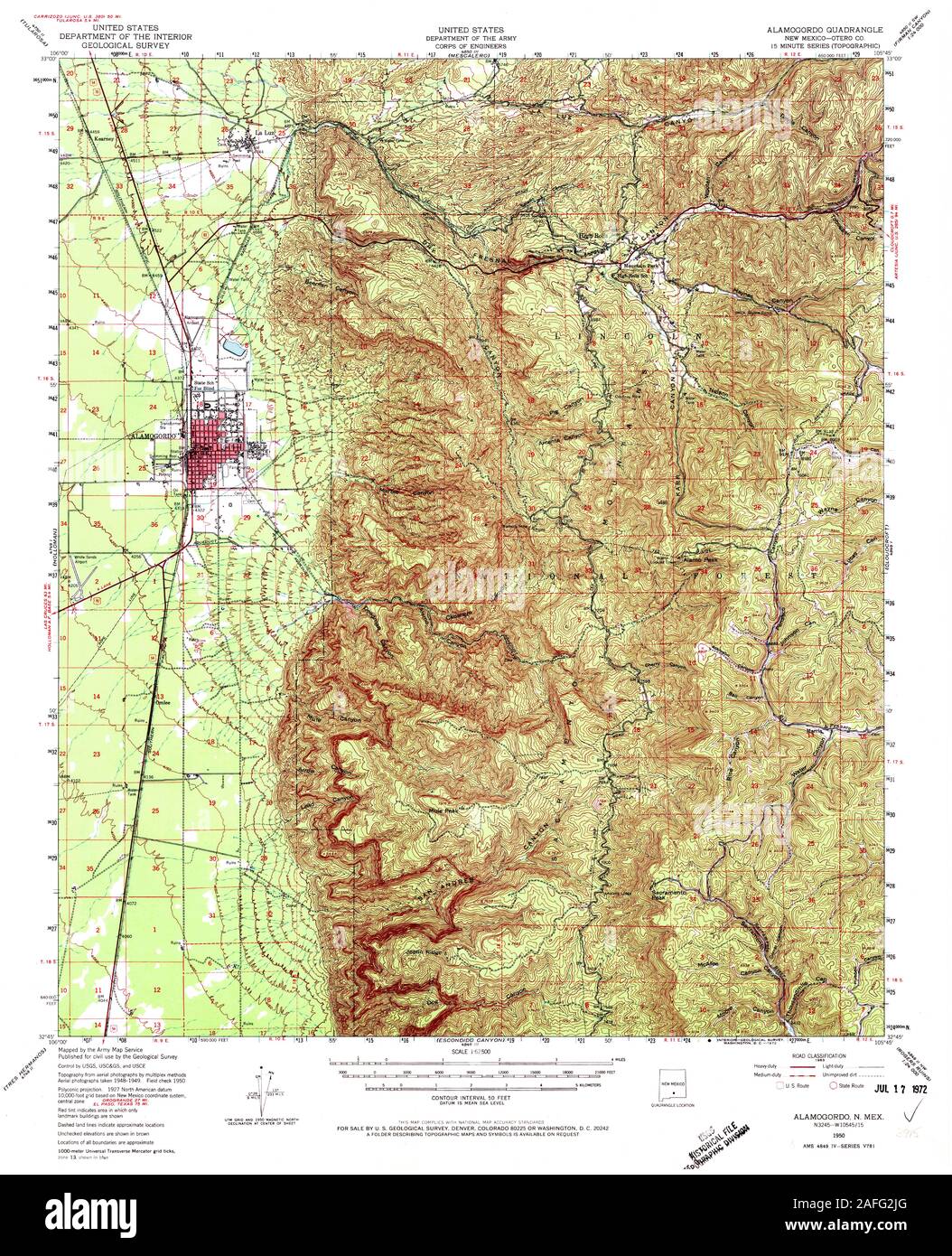 USGS TOPO Map New Mexico NM Alamogordo 189519 1950 62500 Restoration Stock Photohttps://www.alamy.com/image-license-details/?v=1https://www.alamy.com/usgs-topo-map-new-mexico-nm-alamogordo-189519-1950-62500-restoration-image336570152.html
RM2AFG2JG–USGS TOPO Map New Mexico NM Alamogordo 189519 1950 62500 Restoration
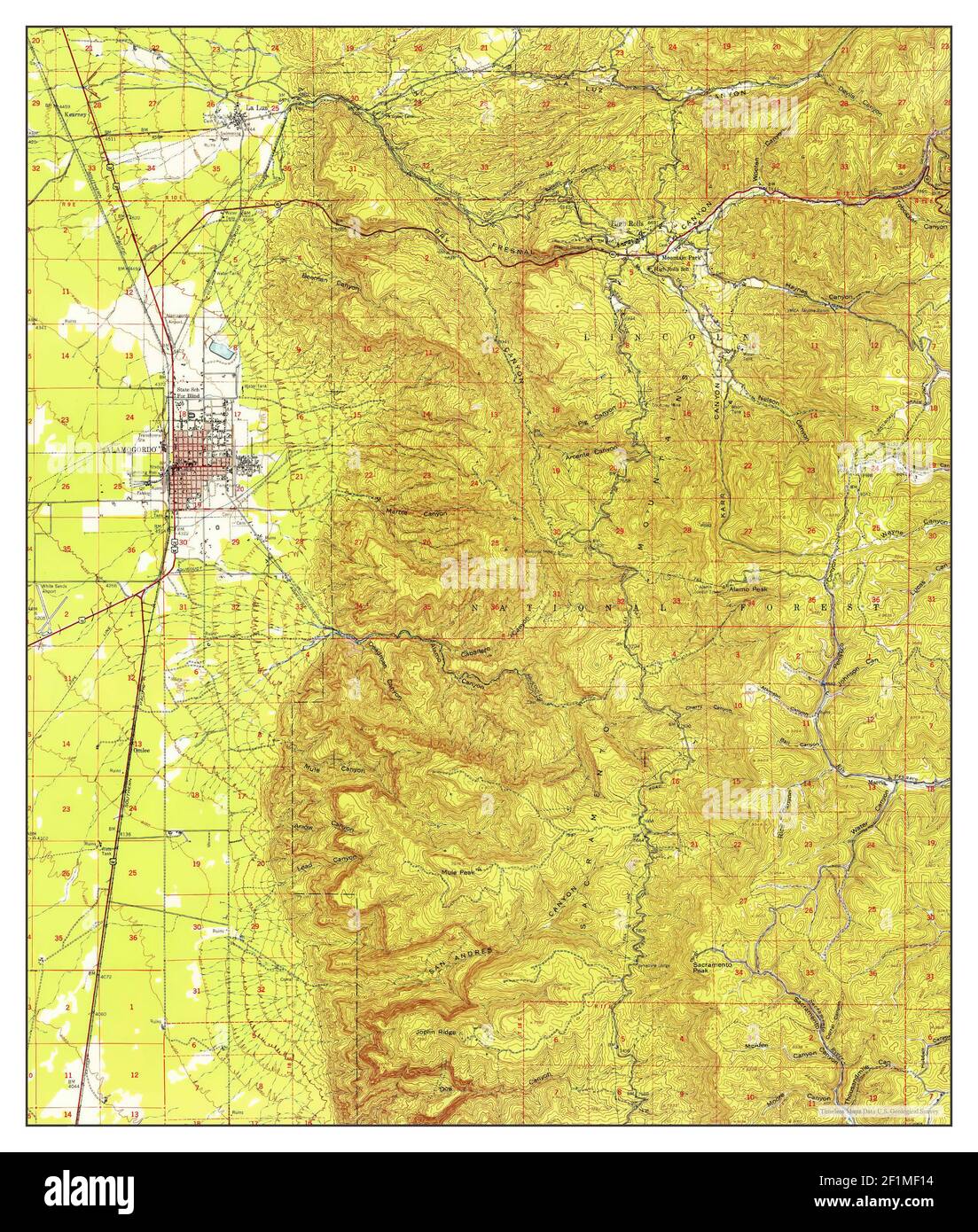 Alamogordo, New Mexico, map 1950, 1:62500, United States of America by Timeless Maps, data U.S. Geological Survey Stock Photohttps://www.alamy.com/image-license-details/?v=1https://www.alamy.com/alamogordo-new-mexico-map-1950-162500-united-states-of-america-by-timeless-maps-data-us-geological-survey-image414114320.html
RM2F1MF14–Alamogordo, New Mexico, map 1950, 1:62500, United States of America by Timeless Maps, data U.S. Geological Survey
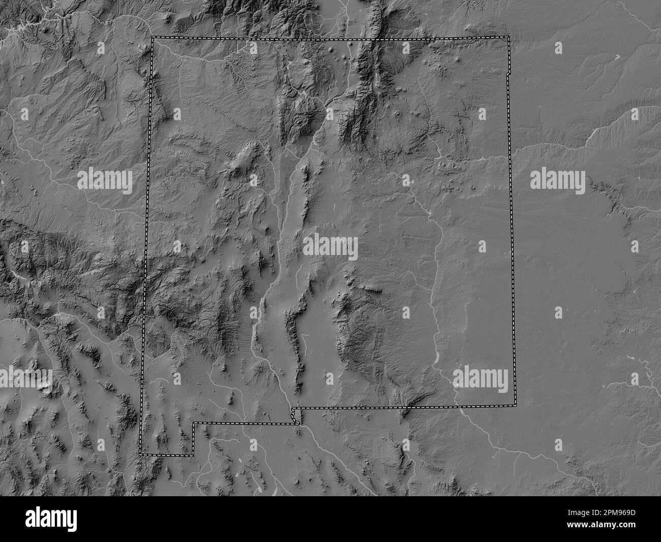 New Mexico, state of United States of America. Bilevel elevation map with lakes and rivers Stock Photohttps://www.alamy.com/image-license-details/?v=1https://www.alamy.com/new-mexico-state-of-united-states-of-america-bilevel-elevation-map-with-lakes-and-rivers-image546017065.html
RF2PM969D–New Mexico, state of United States of America. Bilevel elevation map with lakes and rivers
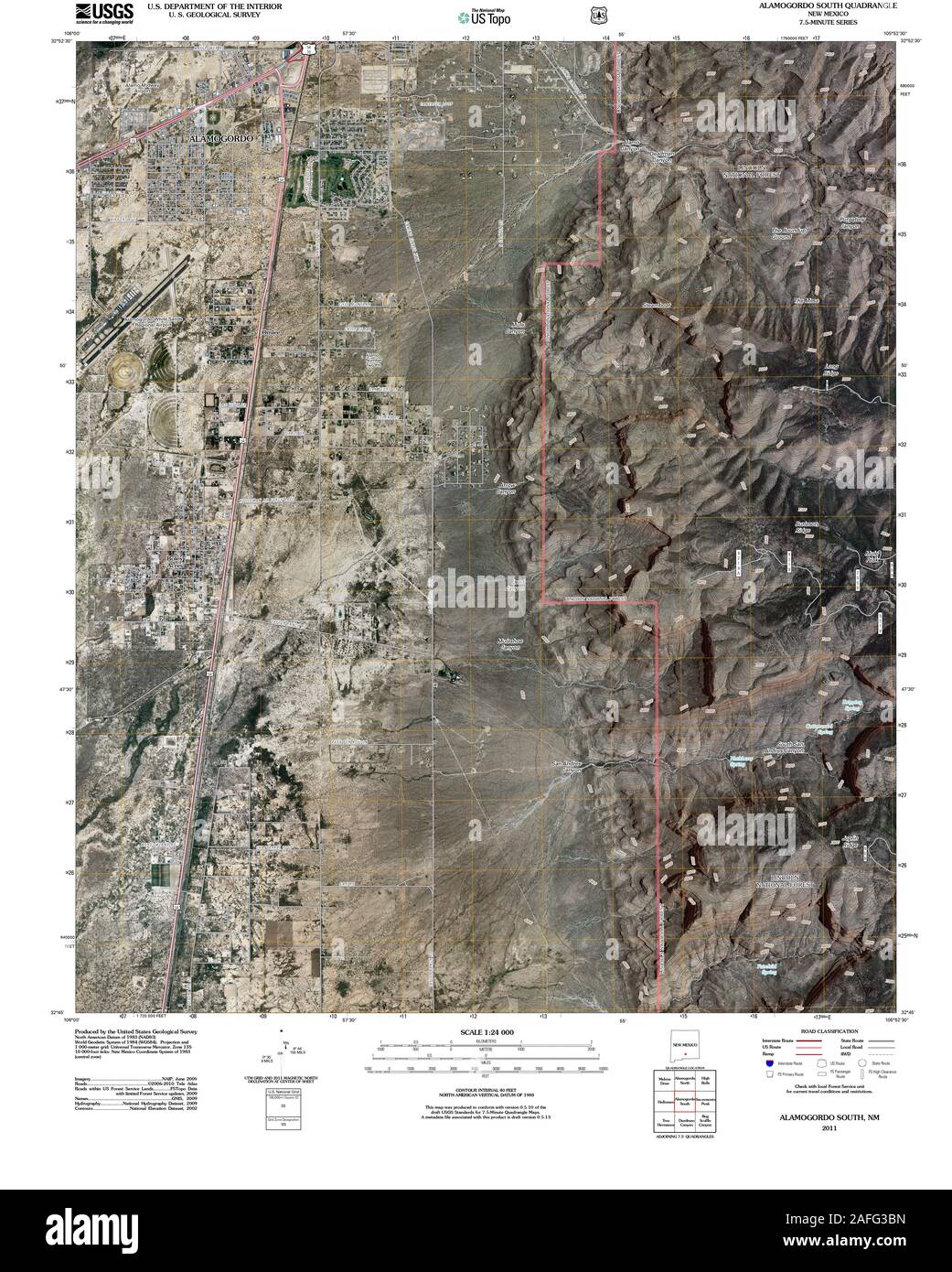 USGS TOPO Map New Mexico NM Alamogordo South 20110314 TM Restoration Stock Photohttps://www.alamy.com/image-license-details/?v=1https://www.alamy.com/usgs-topo-map-new-mexico-nm-alamogordo-south-20110314-tm-restoration-image336570745.html
RM2AFG3BN–USGS TOPO Map New Mexico NM Alamogordo South 20110314 TM Restoration
 Alamogordo, New Mexico, map 1979, 1:100000, United States of America by Timeless Maps, data U.S. Geological Survey Stock Photohttps://www.alamy.com/image-license-details/?v=1https://www.alamy.com/alamogordo-new-mexico-map-1979-1100000-united-states-of-america-by-timeless-maps-data-us-geological-survey-image406904222.html
RM2EJ02DJ–Alamogordo, New Mexico, map 1979, 1:100000, United States of America by Timeless Maps, data U.S. Geological Survey
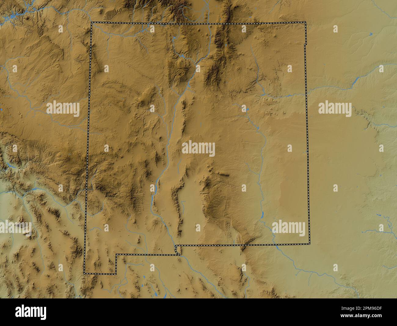 New Mexico, state of United States of America. Colored elevation map with lakes and rivers Stock Photohttps://www.alamy.com/image-license-details/?v=1https://www.alamy.com/new-mexico-state-of-united-states-of-america-colored-elevation-map-with-lakes-and-rivers-image546017179.html
RF2PM96DF–New Mexico, state of United States of America. Colored elevation map with lakes and rivers
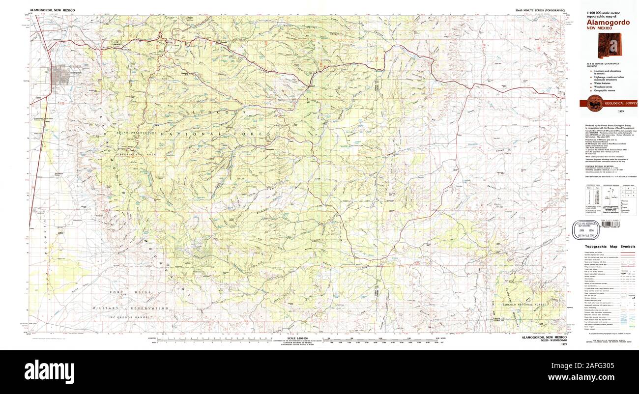 USGS TOPO Map New Mexico NM Alamogordo 189523 1979 100000 Restoration Stock Photohttps://www.alamy.com/image-license-details/?v=1https://www.alamy.com/usgs-topo-map-new-mexico-nm-alamogordo-189523-1979-100000-restoration-image336570421.html
RM2AFG305–USGS TOPO Map New Mexico NM Alamogordo 189523 1979 100000 Restoration
 Alamogordo, New Mexico, map 1976, 1:24000, United States of America by Timeless Maps, data U.S. Geological Survey Stock Photohttps://www.alamy.com/image-license-details/?v=1https://www.alamy.com/alamogordo-new-mexico-map-1976-124000-united-states-of-america-by-timeless-maps-data-us-geological-survey-image406904231.html
RM2EJ02DY–Alamogordo, New Mexico, map 1976, 1:24000, United States of America by Timeless Maps, data U.S. Geological Survey
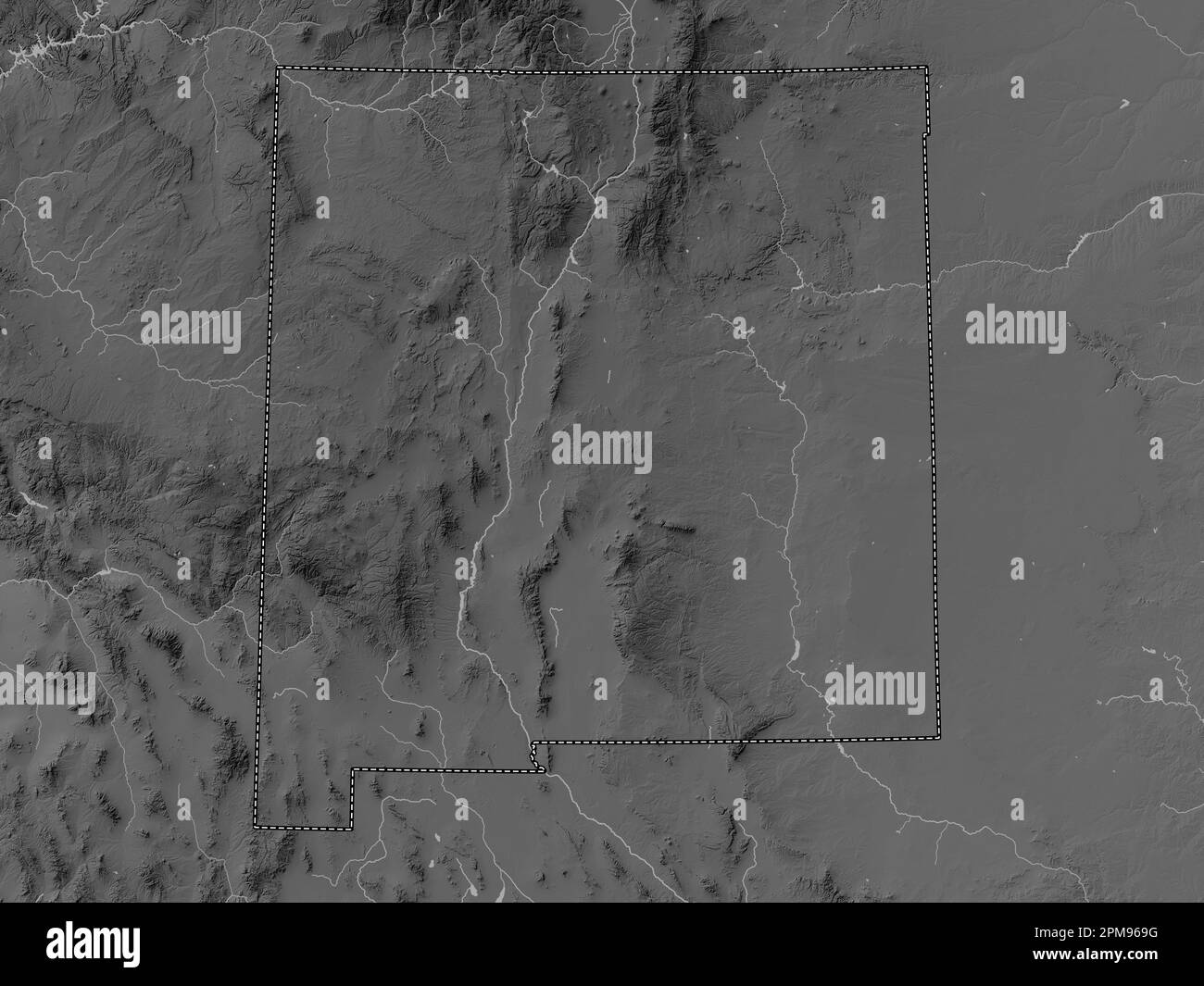 New Mexico, state of United States of America. Grayscale elevation map with lakes and rivers Stock Photohttps://www.alamy.com/image-license-details/?v=1https://www.alamy.com/new-mexico-state-of-united-states-of-america-grayscale-elevation-map-with-lakes-and-rivers-image546017068.html
RF2PM969G–New Mexico, state of United States of America. Grayscale elevation map with lakes and rivers
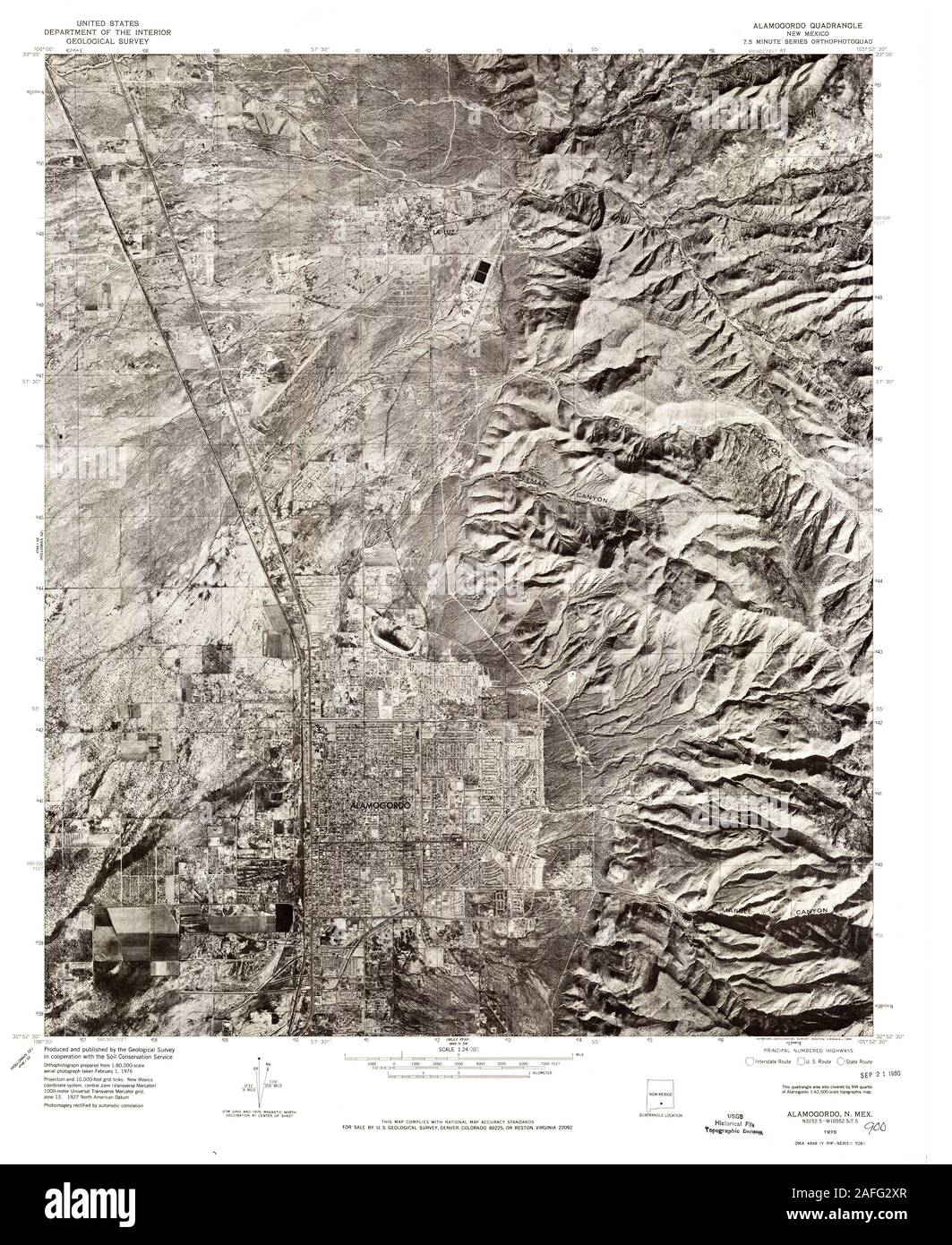 USGS TOPO Map New Mexico NM Alamogordo 189522 1976 24000 Restoration Stock Photohttps://www.alamy.com/image-license-details/?v=1https://www.alamy.com/usgs-topo-map-new-mexico-nm-alamogordo-189522-1976-24000-restoration-image336570383.html
RM2AFG2XR–USGS TOPO Map New Mexico NM Alamogordo 189522 1976 24000 Restoration
 Alamogordo, New Mexico, map 1950, 1:62500, United States of America by Timeless Maps, data U.S. Geological Survey Stock Photohttps://www.alamy.com/image-license-details/?v=1https://www.alamy.com/alamogordo-new-mexico-map-1950-162500-united-states-of-america-by-timeless-maps-data-us-geological-survey-image414114339.html
RM2F1MF1R–Alamogordo, New Mexico, map 1950, 1:62500, United States of America by Timeless Maps, data U.S. Geological Survey
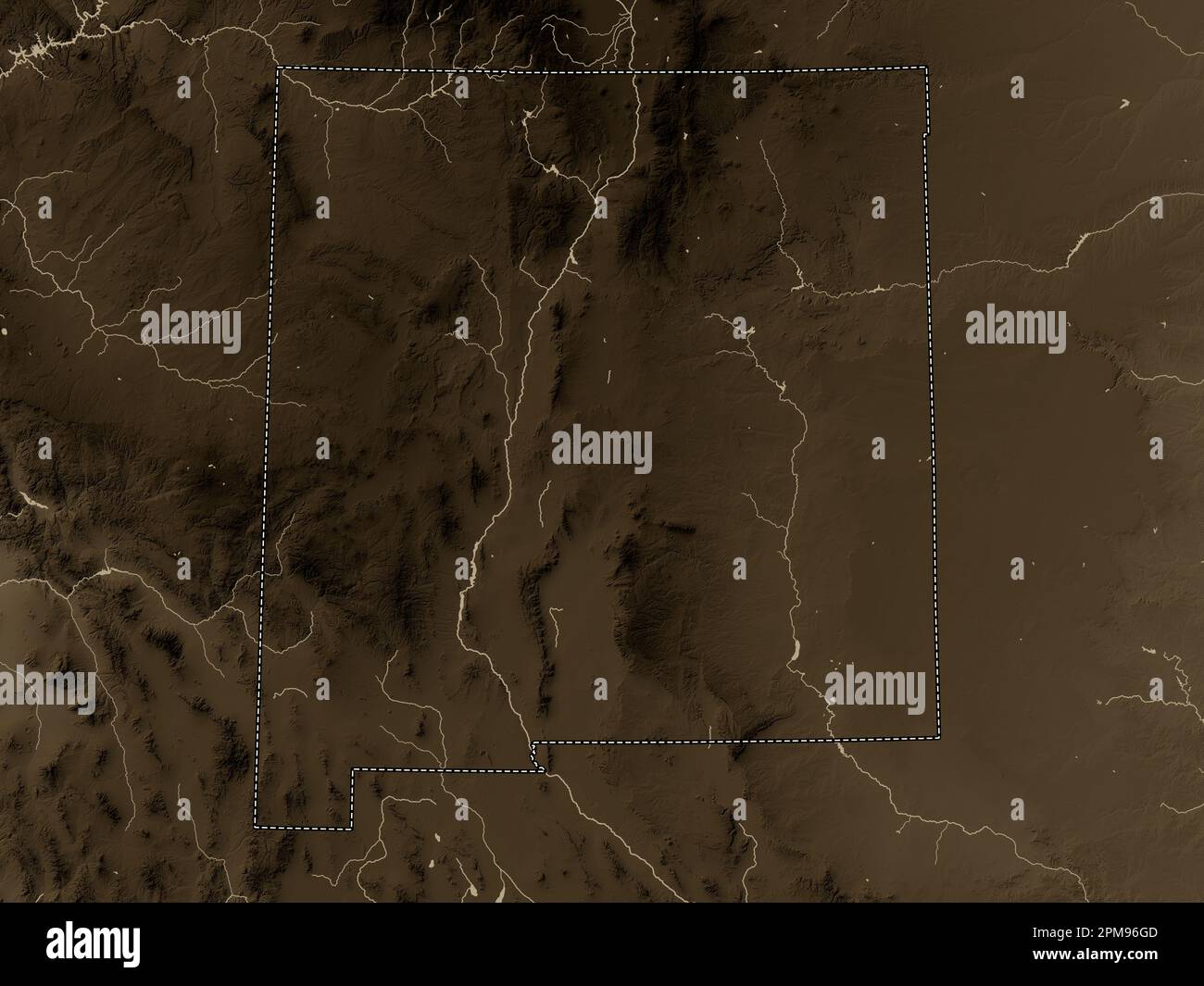 New Mexico, state of United States of America. Elevation map colored in sepia tones with lakes and rivers Stock Photohttps://www.alamy.com/image-license-details/?v=1https://www.alamy.com/new-mexico-state-of-united-states-of-america-elevation-map-colored-in-sepia-tones-with-lakes-and-rivers-image546017261.html
RF2PM96GD–New Mexico, state of United States of America. Elevation map colored in sepia tones with lakes and rivers
 USGS TOPO Map New Mexico NM Alamogordo 189520 1950 62500 Restoration Stock Photohttps://www.alamy.com/image-license-details/?v=1https://www.alamy.com/usgs-topo-map-new-mexico-nm-alamogordo-189520-1950-62500-restoration-image336570263.html
RM2AFG2PF–USGS TOPO Map New Mexico NM Alamogordo 189520 1950 62500 Restoration
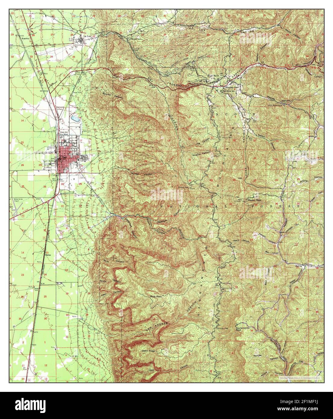 Alamogordo, New Mexico, map 1950, 1:62500, United States of America by Timeless Maps, data U.S. Geological Survey Stock Photohttps://www.alamy.com/image-license-details/?v=1https://www.alamy.com/alamogordo-new-mexico-map-1950-162500-united-states-of-america-by-timeless-maps-data-us-geological-survey-image414114334.html
RM2F1MF1J–Alamogordo, New Mexico, map 1950, 1:62500, United States of America by Timeless Maps, data U.S. Geological Survey
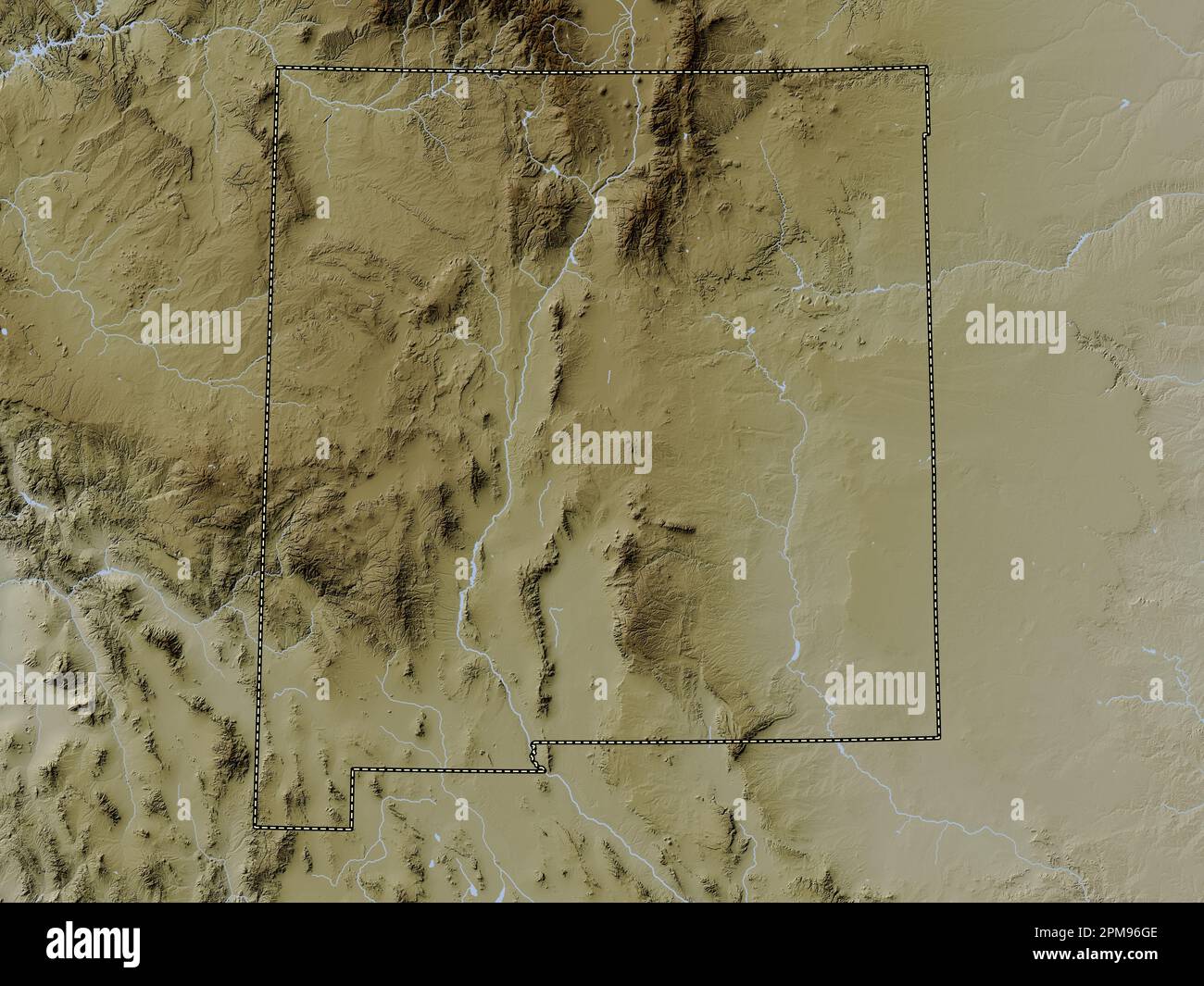 New Mexico, state of United States of America. Elevation map colored in wiki style with lakes and rivers Stock Photohttps://www.alamy.com/image-license-details/?v=1https://www.alamy.com/new-mexico-state-of-united-states-of-america-elevation-map-colored-in-wiki-style-with-lakes-and-rivers-image546017262.html
RF2PM96GE–New Mexico, state of United States of America. Elevation map colored in wiki style with lakes and rivers
 USGS TOPO Map New Mexico NM Alamogordo 189523 1979 100000 Inverted Restoration Stock Photohttps://www.alamy.com/image-license-details/?v=1https://www.alamy.com/usgs-topo-map-new-mexico-nm-alamogordo-189523-1979-100000-inverted-restoration-image336570393.html
RM2AFG2Y5–USGS TOPO Map New Mexico NM Alamogordo 189523 1979 100000 Inverted Restoration
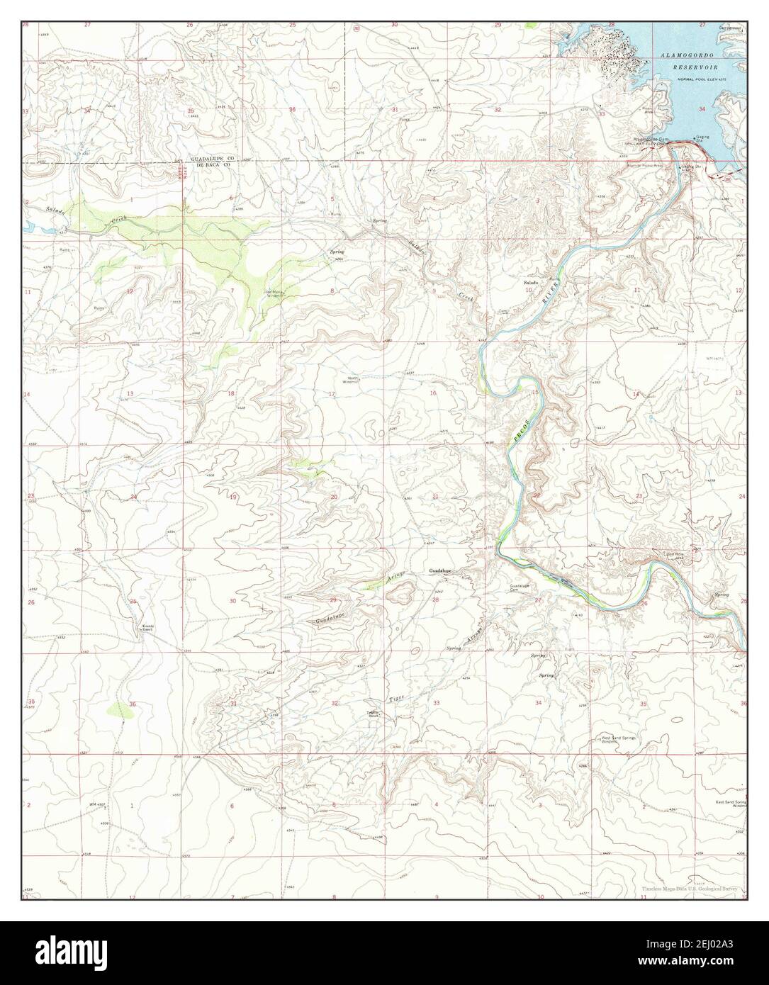 Alamogordo Dam, New Mexico, map 1966, 1:24000, United States of America by Timeless Maps, data U.S. Geological Survey Stock Photohttps://www.alamy.com/image-license-details/?v=1https://www.alamy.com/alamogordo-dam-new-mexico-map-1966-124000-united-states-of-america-by-timeless-maps-data-us-geological-survey-image406904123.html
RM2EJ02A3–Alamogordo Dam, New Mexico, map 1966, 1:24000, United States of America by Timeless Maps, data U.S. Geological Survey
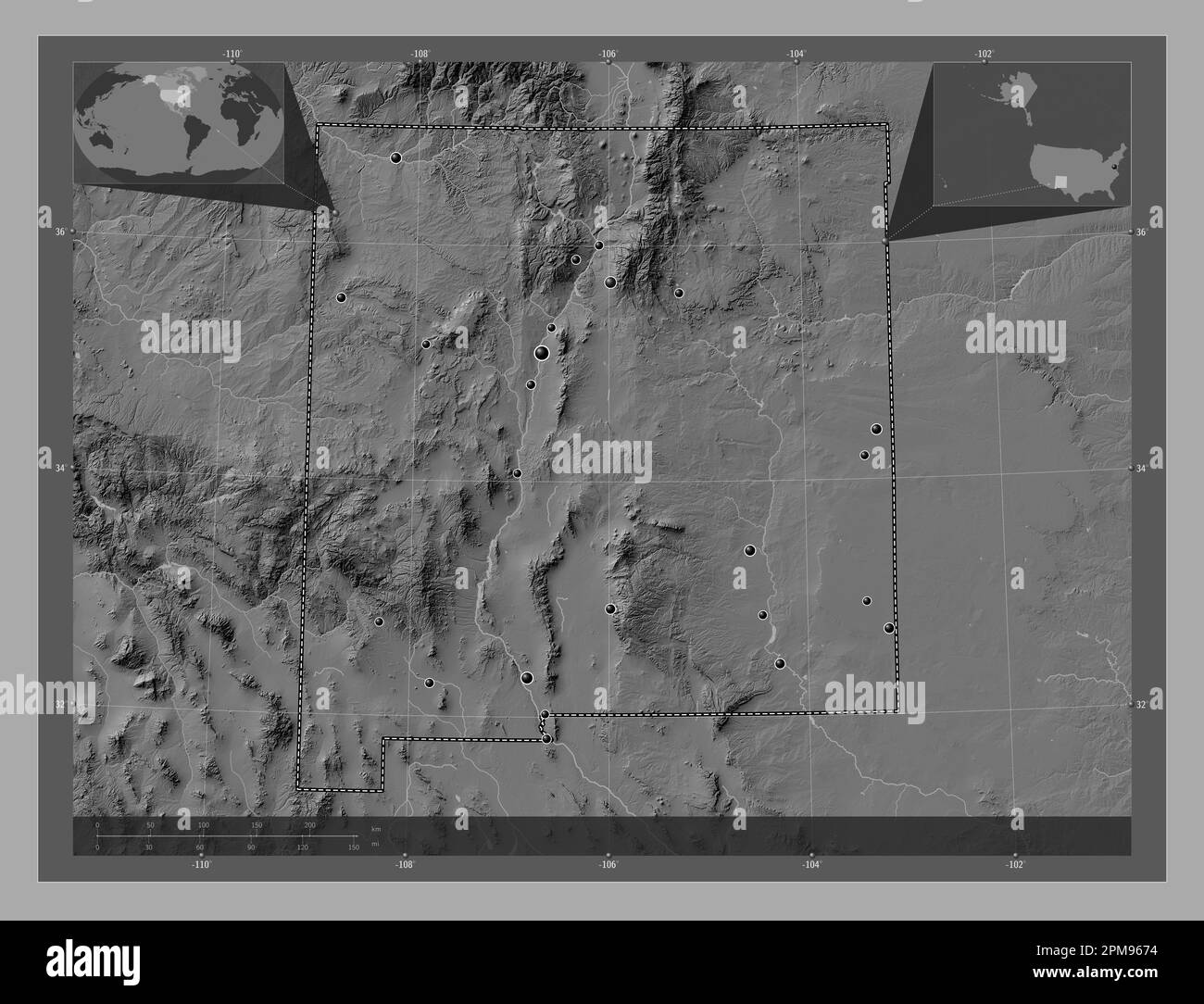 New Mexico, state of United States of America. Bilevel elevation map with lakes and rivers. Locations of major cities of the region. Corner auxiliary Stock Photohttps://www.alamy.com/image-license-details/?v=1https://www.alamy.com/new-mexico-state-of-united-states-of-america-bilevel-elevation-map-with-lakes-and-rivers-locations-of-major-cities-of-the-region-corner-auxiliary-image546017000.html
RF2PM9674–New Mexico, state of United States of America. Bilevel elevation map with lakes and rivers. Locations of major cities of the region. Corner auxiliary
 USGS TOPO Map New Mexico NM Alamogordo Dam 189515 1966 24000 Restoration Stock Photohttps://www.alamy.com/image-license-details/?v=1https://www.alamy.com/usgs-topo-map-new-mexico-nm-alamogordo-dam-189515-1966-24000-restoration-image336570420.html
RM2AFG304–USGS TOPO Map New Mexico NM Alamogordo Dam 189515 1966 24000 Restoration
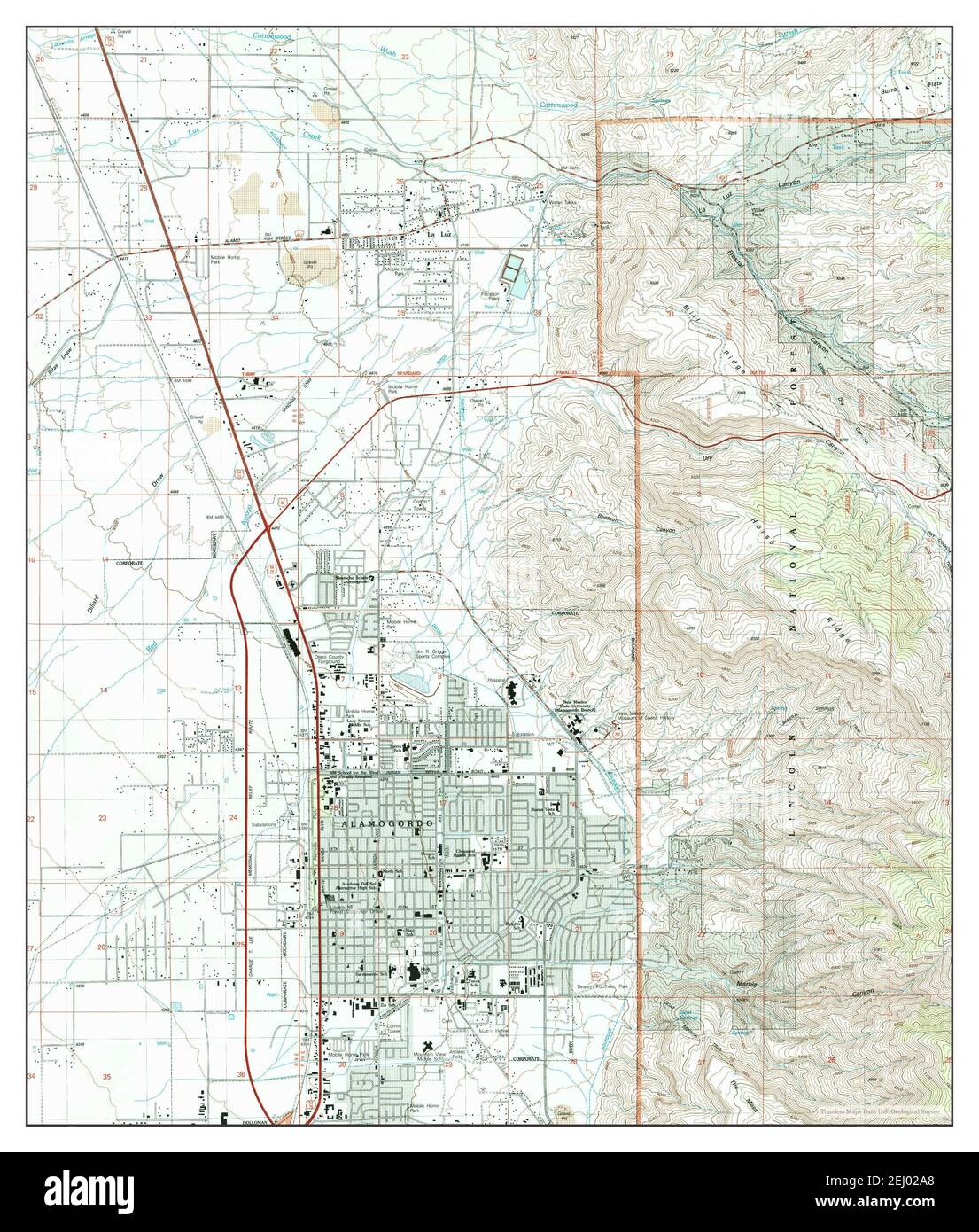 Alamogordo North, New Mexico, map 2004, 1:24000, United States of America by Timeless Maps, data U.S. Geological Survey Stock Photohttps://www.alamy.com/image-license-details/?v=1https://www.alamy.com/alamogordo-north-new-mexico-map-2004-124000-united-states-of-america-by-timeless-maps-data-us-geological-survey-image406904128.html
RM2EJ02A8–Alamogordo North, New Mexico, map 2004, 1:24000, United States of America by Timeless Maps, data U.S. Geological Survey
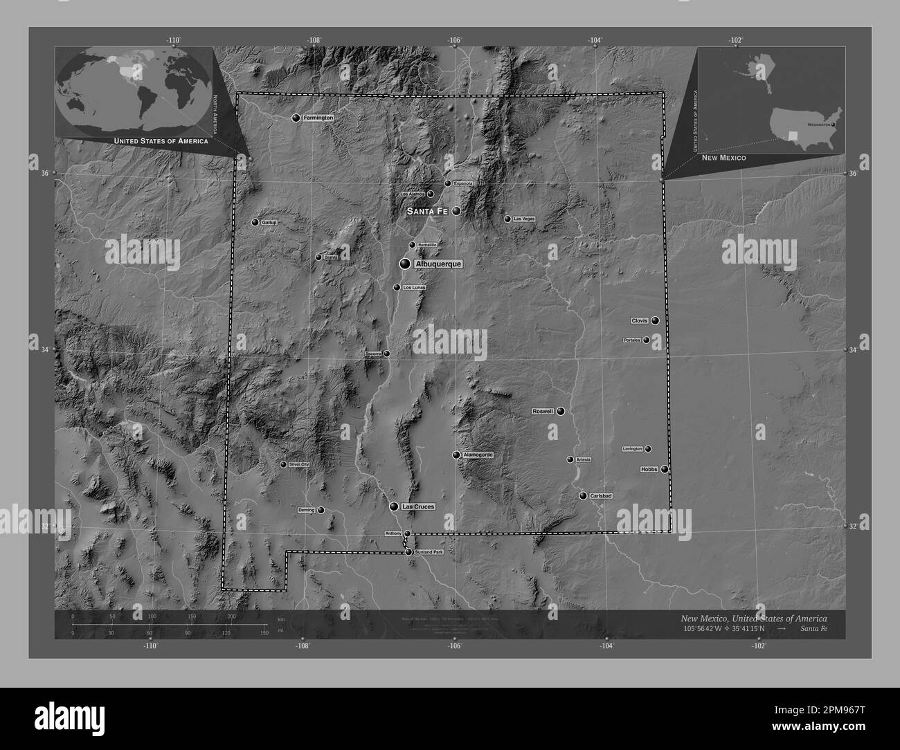 New Mexico, state of United States of America. Bilevel elevation map with lakes and rivers. Locations and names of major cities of the region. Corner Stock Photohttps://www.alamy.com/image-license-details/?v=1https://www.alamy.com/new-mexico-state-of-united-states-of-america-bilevel-elevation-map-with-lakes-and-rivers-locations-and-names-of-major-cities-of-the-region-corner-image546017020.html
RF2PM967T–New Mexico, state of United States of America. Bilevel elevation map with lakes and rivers. Locations and names of major cities of the region. Corner
 USGS TOPO Map New Mexico NM Alamogordo 189522 1976 24000 Inverted Restoration Stock Photohttps://www.alamy.com/image-license-details/?v=1https://www.alamy.com/usgs-topo-map-new-mexico-nm-alamogordo-189522-1976-24000-inverted-restoration-image336570373.html
RM2AFG2XD–USGS TOPO Map New Mexico NM Alamogordo 189522 1976 24000 Inverted Restoration
 Alamogordo South, New Mexico, map 1981, 1:24000, United States of America by Timeless Maps, data U.S. Geological Survey Stock Photohttps://www.alamy.com/image-license-details/?v=1https://www.alamy.com/alamogordo-south-new-mexico-map-1981-124000-united-states-of-america-by-timeless-maps-data-us-geological-survey-image406904109.html
RM2EJ029H–Alamogordo South, New Mexico, map 1981, 1:24000, United States of America by Timeless Maps, data U.S. Geological Survey
 New Mexico, state of United States of America. Open Street Map. Locations of major cities of the region. Corner auxiliary location maps Stock Photohttps://www.alamy.com/image-license-details/?v=1https://www.alamy.com/new-mexico-state-of-united-states-of-america-open-street-map-locations-of-major-cities-of-the-region-corner-auxiliary-location-maps-image546017119.html
RF2PM96BB–New Mexico, state of United States of America. Open Street Map. Locations of major cities of the region. Corner auxiliary location maps
 USGS TOPO Map New Mexico NM Alamogordo South 189518 1981 24000 Restoration Stock Photohttps://www.alamy.com/image-license-details/?v=1https://www.alamy.com/usgs-topo-map-new-mexico-nm-alamogordo-south-189518-1981-24000-restoration-image336570668.html
RM2AFG390–USGS TOPO Map New Mexico NM Alamogordo South 189518 1981 24000 Restoration
 Alamogordo South, New Mexico, map 1981, 1:24000, United States of America by Timeless Maps, data U.S. Geological Survey Stock Photohttps://www.alamy.com/image-license-details/?v=1https://www.alamy.com/alamogordo-south-new-mexico-map-1981-124000-united-states-of-america-by-timeless-maps-data-us-geological-survey-image406904107.html
RM2EJ029F–Alamogordo South, New Mexico, map 1981, 1:24000, United States of America by Timeless Maps, data U.S. Geological Survey
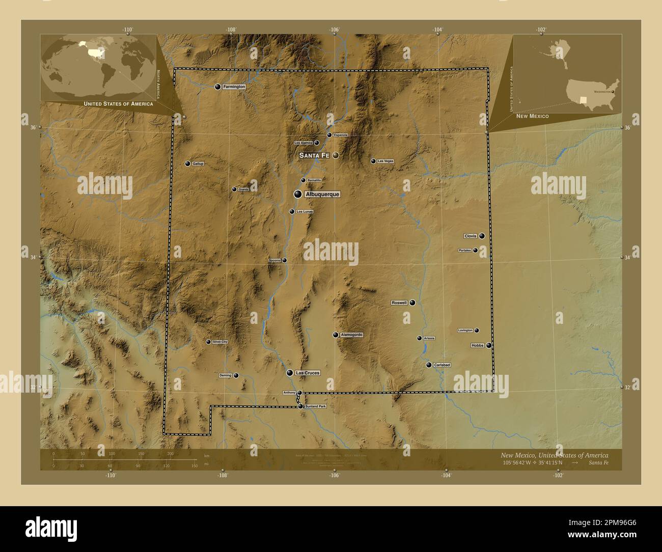 New Mexico, state of United States of America. Colored elevation map with lakes and rivers. Locations and names of major cities of the region. Corner Stock Photohttps://www.alamy.com/image-license-details/?v=1https://www.alamy.com/new-mexico-state-of-united-states-of-america-colored-elevation-map-with-lakes-and-rivers-locations-and-names-of-major-cities-of-the-region-corner-image546017254.html
RF2PM96G6–New Mexico, state of United States of America. Colored elevation map with lakes and rivers. Locations and names of major cities of the region. Corner
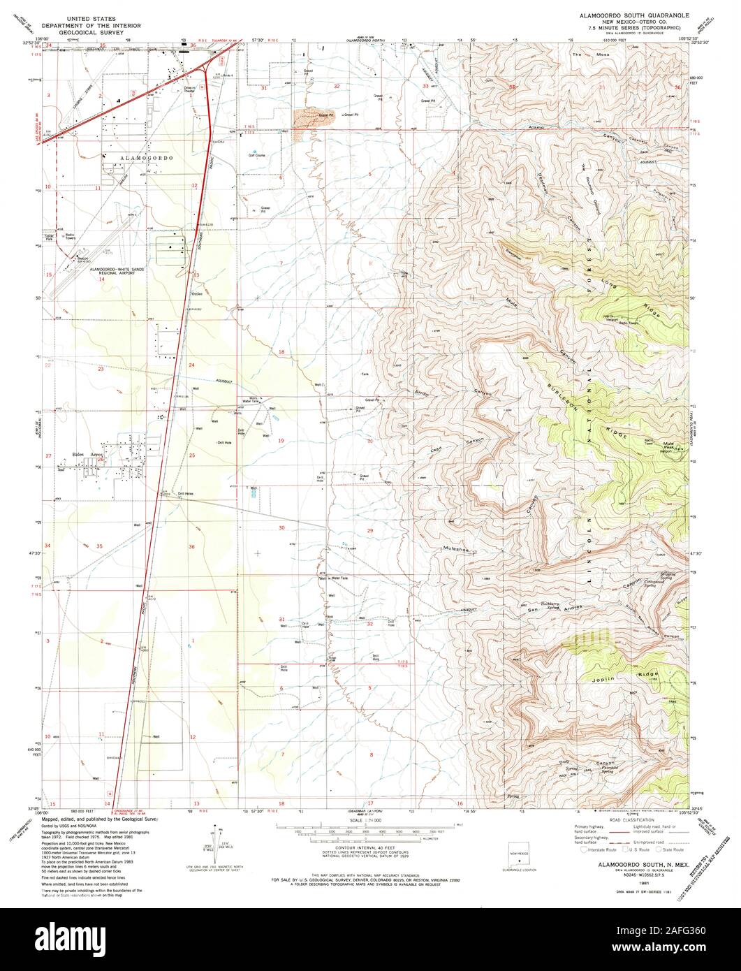 USGS TOPO Map New Mexico NM Alamogordo South 189517 1981 24000 Restoration Stock Photohttps://www.alamy.com/image-license-details/?v=1https://www.alamy.com/usgs-topo-map-new-mexico-nm-alamogordo-south-189517-1981-24000-restoration-image336570584.html
RM2AFG360–USGS TOPO Map New Mexico NM Alamogordo South 189517 1981 24000 Restoration
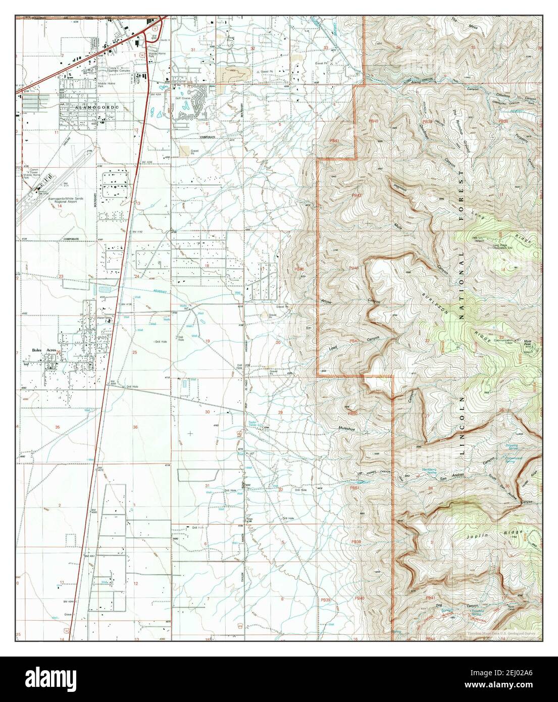 Alamogordo South, New Mexico, map 2004, 1:24000, United States of America by Timeless Maps, data U.S. Geological Survey Stock Photohttps://www.alamy.com/image-license-details/?v=1https://www.alamy.com/alamogordo-south-new-mexico-map-2004-124000-united-states-of-america-by-timeless-maps-data-us-geological-survey-image406904126.html
RM2EJ02A6–Alamogordo South, New Mexico, map 2004, 1:24000, United States of America by Timeless Maps, data U.S. Geological Survey
 New Mexico, state of United States of America. Grayscale elevation map with lakes and rivers. Locations and names of major cities of the region. Corne Stock Photohttps://www.alamy.com/image-license-details/?v=1https://www.alamy.com/new-mexico-state-of-united-states-of-america-grayscale-elevation-map-with-lakes-and-rivers-locations-and-names-of-major-cities-of-the-region-corne-image546017070.html
RF2PM969J–New Mexico, state of United States of America. Grayscale elevation map with lakes and rivers. Locations and names of major cities of the region. Corne
 USGS TOPO Map New Mexico NM Alamogordo North 193692 2004 24000 Restoration Stock Photohttps://www.alamy.com/image-license-details/?v=1https://www.alamy.com/usgs-topo-map-new-mexico-nm-alamogordo-north-193692-2004-24000-restoration-image336570567.html
RM2AFG35B–USGS TOPO Map New Mexico NM Alamogordo North 193692 2004 24000 Restoration
 Alamogordo North, New Mexico, map 1981, 1:24000, United States of America by Timeless Maps, data U.S. Geological Survey Stock Photohttps://www.alamy.com/image-license-details/?v=1https://www.alamy.com/alamogordo-north-new-mexico-map-1981-124000-united-states-of-america-by-timeless-maps-data-us-geological-survey-image406904110.html
RM2EJ029J–Alamogordo North, New Mexico, map 1981, 1:24000, United States of America by Timeless Maps, data U.S. Geological Survey
 New Mexico, state of United States of America. Colored elevation map with lakes and rivers. Locations of major cities of the region. Corner auxiliary Stock Photohttps://www.alamy.com/image-license-details/?v=1https://www.alamy.com/new-mexico-state-of-united-states-of-america-colored-elevation-map-with-lakes-and-rivers-locations-of-major-cities-of-the-region-corner-auxiliary-image546017187.html
RF2PM96DR–New Mexico, state of United States of America. Colored elevation map with lakes and rivers. Locations of major cities of the region. Corner auxiliary
 USGS TOPO Map New Mexico NM Alamogordo 189519 1950 62500 Inverted Restoration Stock Photohttps://www.alamy.com/image-license-details/?v=1https://www.alamy.com/usgs-topo-map-new-mexico-nm-alamogordo-189519-1950-62500-inverted-restoration-image336570153.html
RM2AFG2JH–USGS TOPO Map New Mexico NM Alamogordo 189519 1950 62500 Inverted Restoration
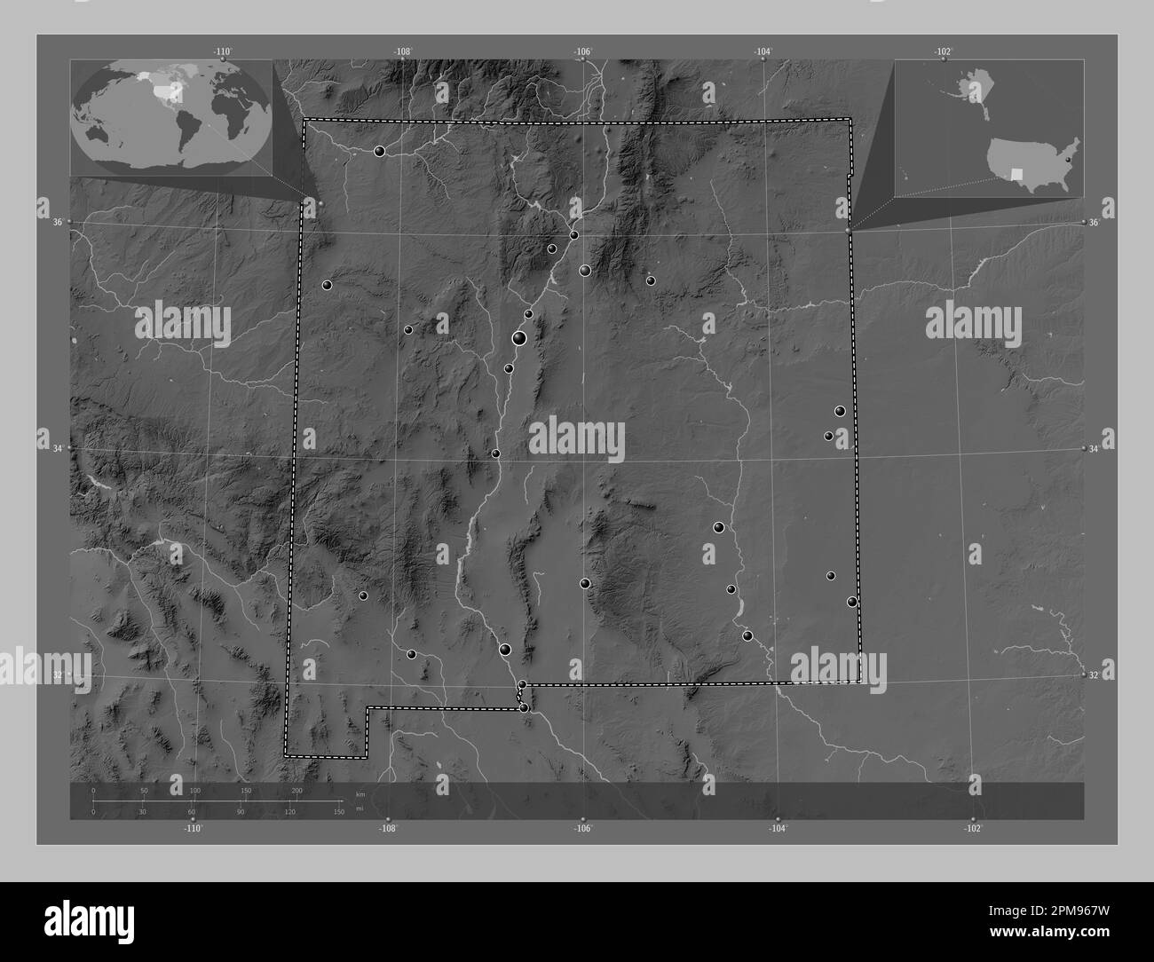 New Mexico, state of United States of America. Grayscale elevation map with lakes and rivers. Locations of major cities of the region. Corner auxiliar Stock Photohttps://www.alamy.com/image-license-details/?v=1https://www.alamy.com/new-mexico-state-of-united-states-of-america-grayscale-elevation-map-with-lakes-and-rivers-locations-of-major-cities-of-the-region-corner-auxiliar-image546017021.html
RF2PM967W–New Mexico, state of United States of America. Grayscale elevation map with lakes and rivers. Locations of major cities of the region. Corner auxiliar
 USGS TOPO Map New Mexico NM Alamogordo North 20110302 TM Inverted Restoration Stock Photohttps://www.alamy.com/image-license-details/?v=1https://www.alamy.com/usgs-topo-map-new-mexico-nm-alamogordo-north-20110302-tm-inverted-restoration-image336570569.html
RM2AFG35D–USGS TOPO Map New Mexico NM Alamogordo North 20110302 TM Inverted Restoration
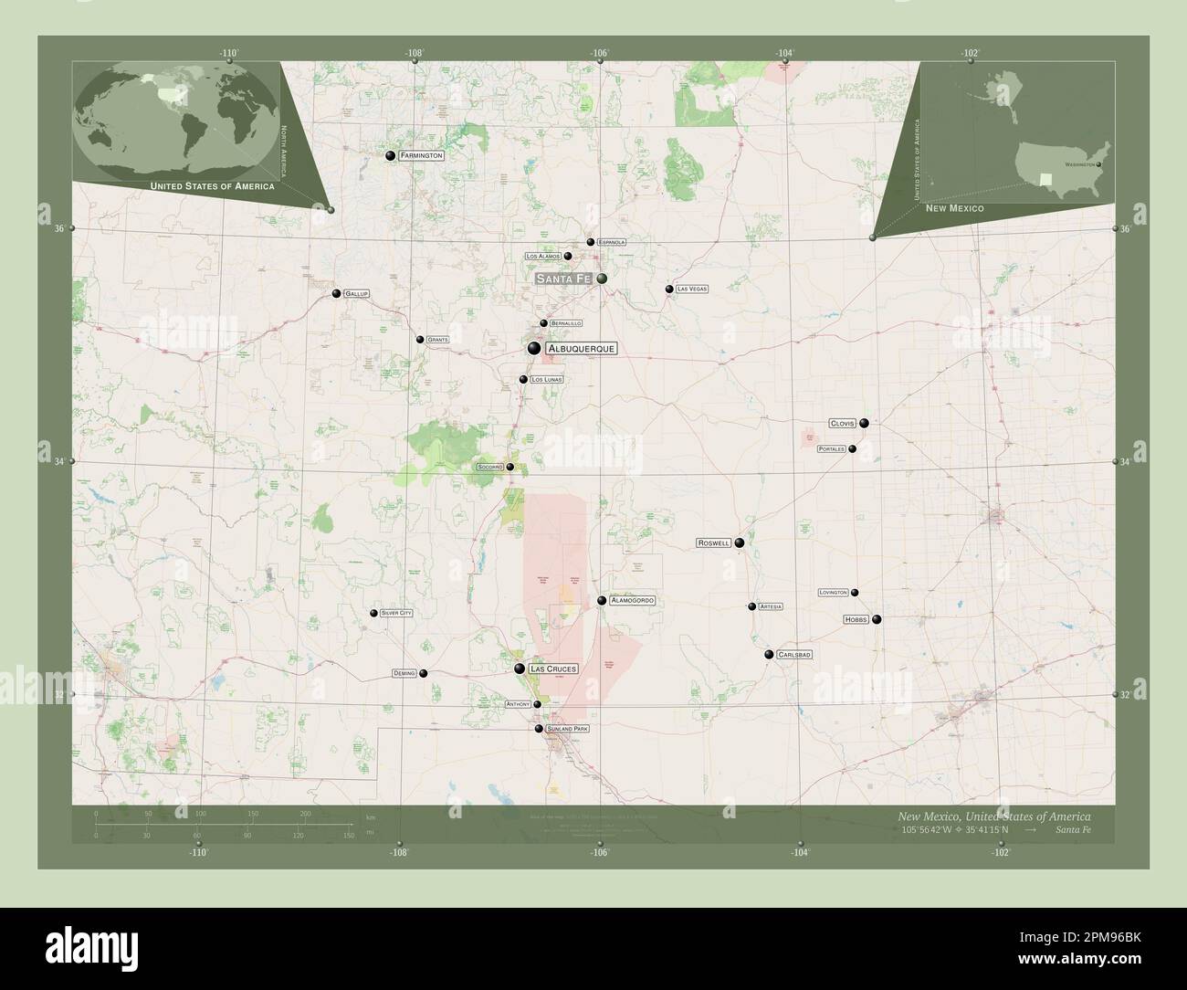 New Mexico, state of United States of America. Open Street Map. Locations and names of major cities of the region. Corner auxiliary location maps Stock Photohttps://www.alamy.com/image-license-details/?v=1https://www.alamy.com/new-mexico-state-of-united-states-of-america-open-street-map-locations-and-names-of-major-cities-of-the-region-corner-auxiliary-location-maps-image546017127.html
RF2PM96BK–New Mexico, state of United States of America. Open Street Map. Locations and names of major cities of the region. Corner auxiliary location maps
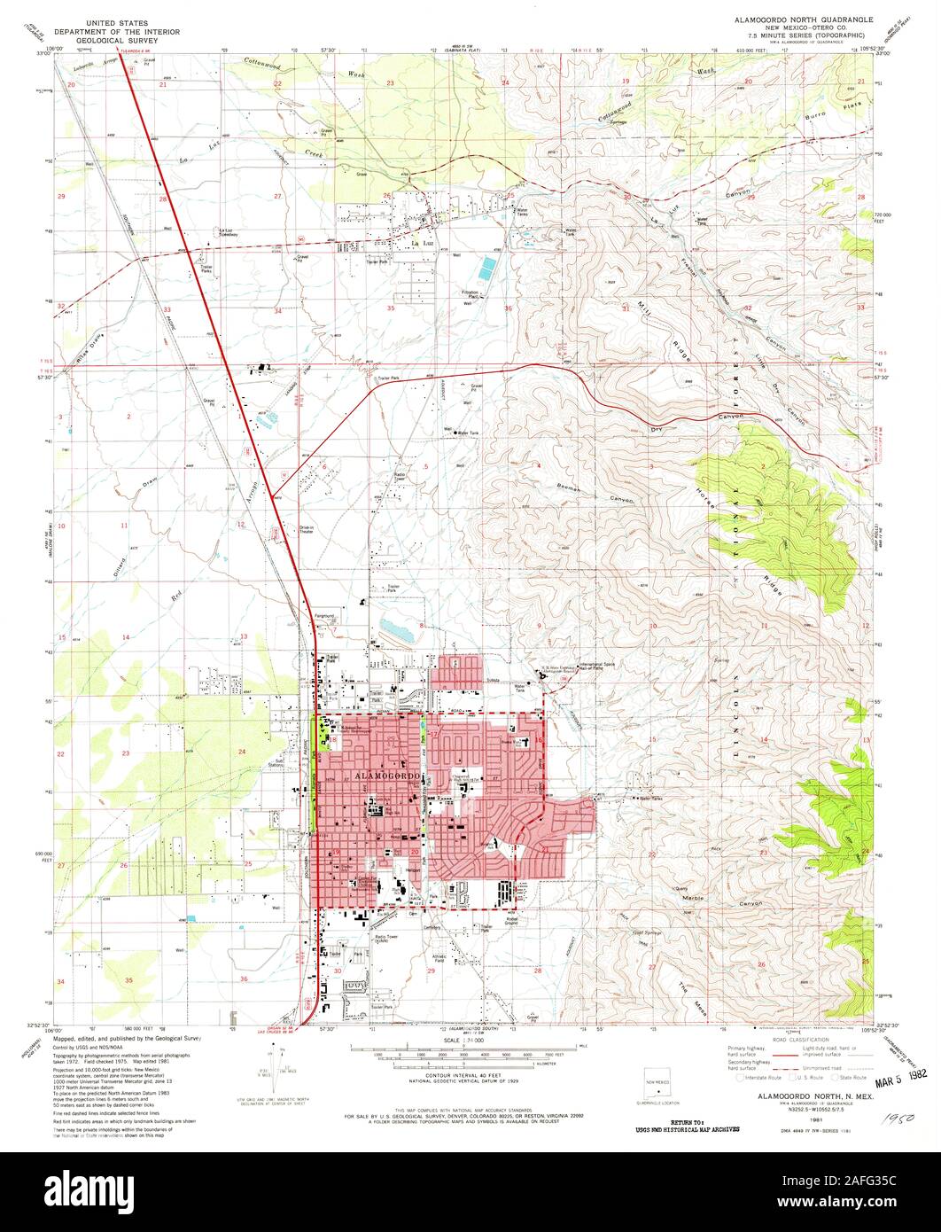 USGS TOPO Map New Mexico NM Alamogordo North 189516 1981 24000 Restoration Stock Photohttps://www.alamy.com/image-license-details/?v=1https://www.alamy.com/usgs-topo-map-new-mexico-nm-alamogordo-north-189516-1981-24000-restoration-image336570568.html
RM2AFG35C–USGS TOPO Map New Mexico NM Alamogordo North 189516 1981 24000 Restoration
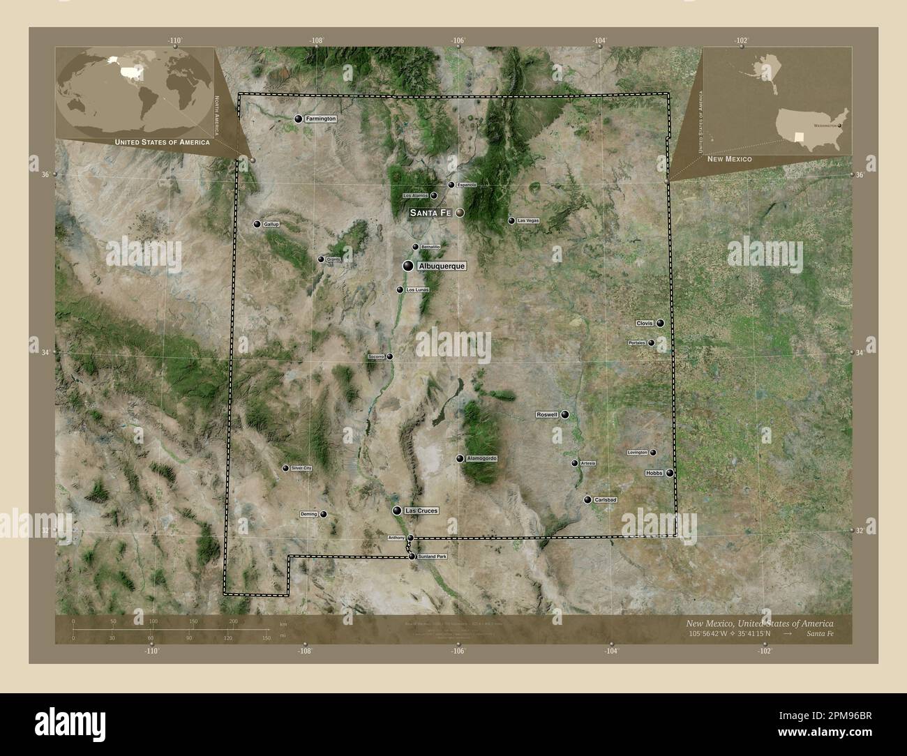 New Mexico, state of United States of America. High resolution satellite map. Locations and names of major cities of the region. Corner auxiliary loca Stock Photohttps://www.alamy.com/image-license-details/?v=1https://www.alamy.com/new-mexico-state-of-united-states-of-america-high-resolution-satellite-map-locations-and-names-of-major-cities-of-the-region-corner-auxiliary-loca-image546017131.html
RF2PM96BR–New Mexico, state of United States of America. High resolution satellite map. Locations and names of major cities of the region. Corner auxiliary loca
 USGS TOPO Map New Mexico NM Alamogordo 189520 1950 62500 Inverted Restoration Stock Photohttps://www.alamy.com/image-license-details/?v=1https://www.alamy.com/usgs-topo-map-new-mexico-nm-alamogordo-189520-1950-62500-inverted-restoration-image336570259.html
RM2AFG2PB–USGS TOPO Map New Mexico NM Alamogordo 189520 1950 62500 Inverted Restoration
 New Mexico, state of United States of America. Low resolution satellite map. Locations and names of major cities of the region. Corner auxiliary locat Stock Photohttps://www.alamy.com/image-license-details/?v=1https://www.alamy.com/new-mexico-state-of-united-states-of-america-low-resolution-satellite-map-locations-and-names-of-major-cities-of-the-region-corner-auxiliary-locat-image546017081.html
RF2PM96A1–New Mexico, state of United States of America. Low resolution satellite map. Locations and names of major cities of the region. Corner auxiliary locat
 USGS TOPO Map New Mexico NM Alamogordo 189521 1950 62500 Inverted Restoration Stock Photohttps://www.alamy.com/image-license-details/?v=1https://www.alamy.com/usgs-topo-map-new-mexico-nm-alamogordo-189521-1950-62500-inverted-restoration-image336570271.html
RM2AFG2PR–USGS TOPO Map New Mexico NM Alamogordo 189521 1950 62500 Inverted Restoration
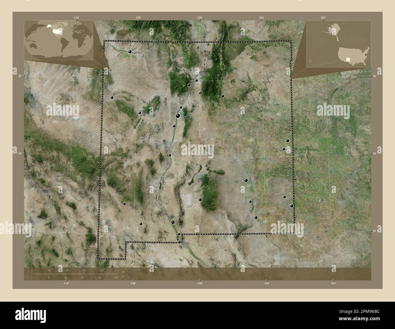 New Mexico, state of United States of America. High resolution satellite map. Locations of major cities of the region. Corner auxiliary location maps Stock Photohttps://www.alamy.com/image-license-details/?v=1https://www.alamy.com/new-mexico-state-of-united-states-of-america-high-resolution-satellite-map-locations-of-major-cities-of-the-region-corner-auxiliary-location-maps-image546017120.html
RF2PM96BC–New Mexico, state of United States of America. High resolution satellite map. Locations of major cities of the region. Corner auxiliary location maps
 USGS TOPO Map New Mexico NM Alamogordo South 20110314 TM Inverted Restoration Stock Photohttps://www.alamy.com/image-license-details/?v=1https://www.alamy.com/usgs-topo-map-new-mexico-nm-alamogordo-south-20110314-tm-inverted-restoration-image336570754.html
RM2AFG3C2–USGS TOPO Map New Mexico NM Alamogordo South 20110314 TM Inverted Restoration
 New Mexico, state of United States of America. Elevation map colored in sepia tones with lakes and rivers. Locations and names of major cities of the Stock Photohttps://www.alamy.com/image-license-details/?v=1https://www.alamy.com/new-mexico-state-of-united-states-of-america-elevation-map-colored-in-sepia-tones-with-lakes-and-rivers-locations-and-names-of-major-cities-of-the-image546017258.html
RF2PM96GA–New Mexico, state of United States of America. Elevation map colored in sepia tones with lakes and rivers. Locations and names of major cities of the
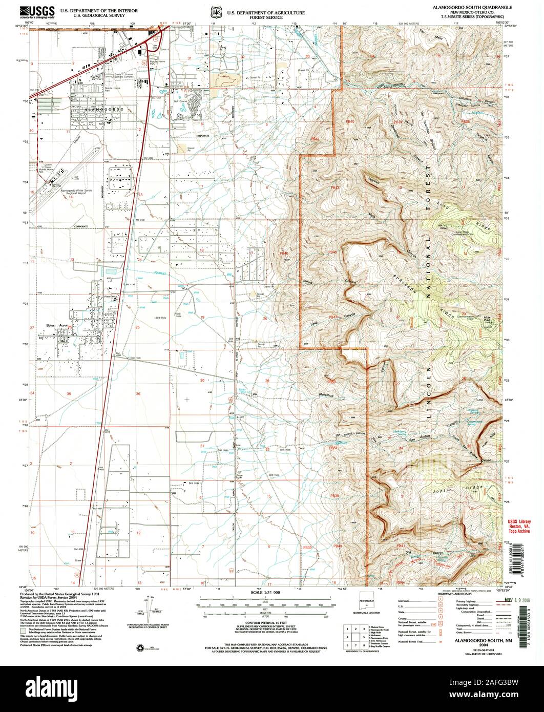 USGS TOPO Map New Mexico NM Alamogordo South 193693 2004 24000 Restoration Stock Photohttps://www.alamy.com/image-license-details/?v=1https://www.alamy.com/usgs-topo-map-new-mexico-nm-alamogordo-south-193693-2004-24000-restoration-image336570749.html
RM2AFG3BW–USGS TOPO Map New Mexico NM Alamogordo South 193693 2004 24000 Restoration
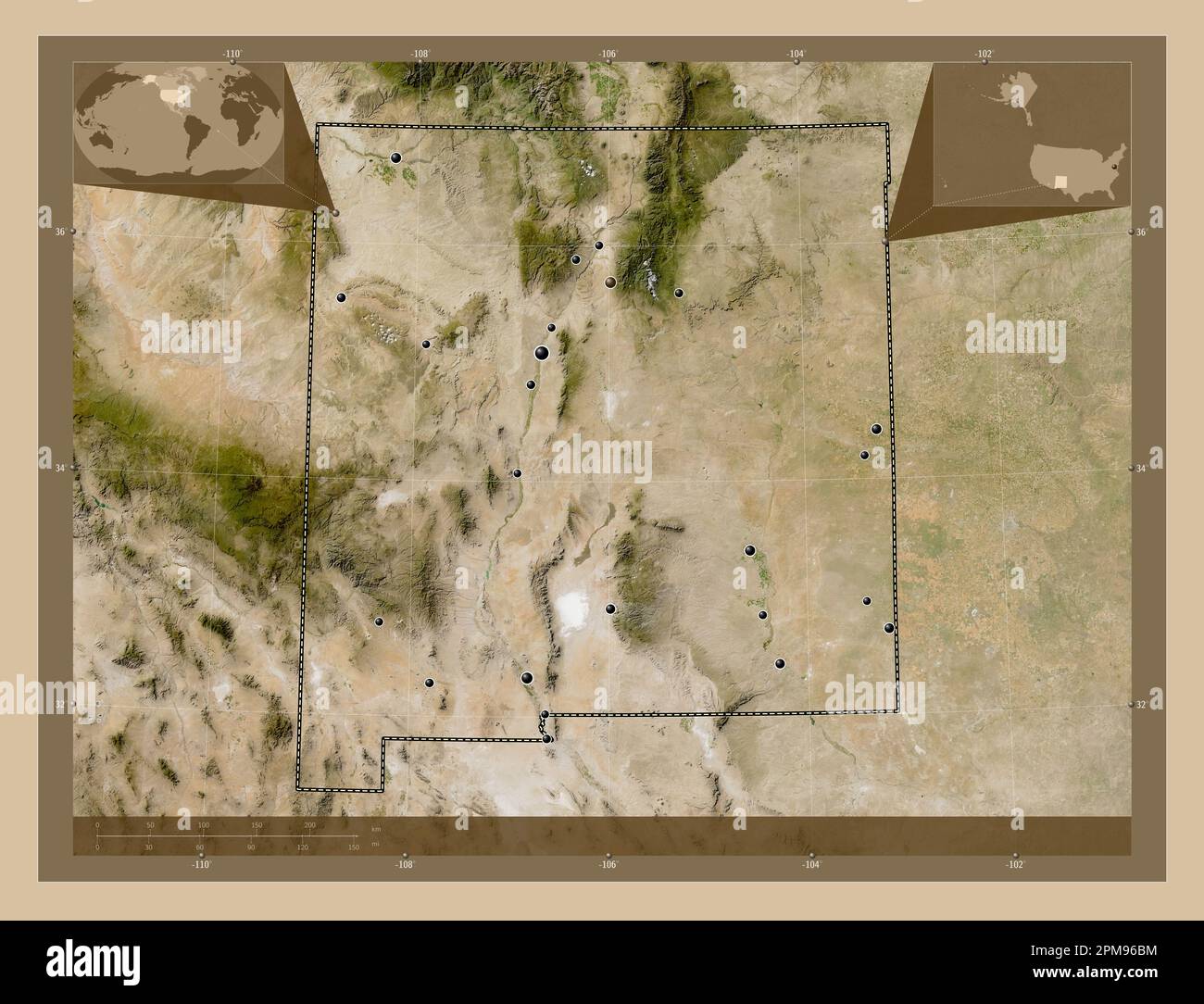 New Mexico, state of United States of America. Low resolution satellite map. Locations of major cities of the region. Corner auxiliary location maps Stock Photohttps://www.alamy.com/image-license-details/?v=1https://www.alamy.com/new-mexico-state-of-united-states-of-america-low-resolution-satellite-map-locations-of-major-cities-of-the-region-corner-auxiliary-location-maps-image546017128.html
RF2PM96BM–New Mexico, state of United States of America. Low resolution satellite map. Locations of major cities of the region. Corner auxiliary location maps
 USGS TOPO Map New Mexico NM Alamogordo North 189516 1981 24000 Inverted Restoration Stock Photohttps://www.alamy.com/image-license-details/?v=1https://www.alamy.com/usgs-topo-map-new-mexico-nm-alamogordo-north-189516-1981-24000-inverted-restoration-image336570423.html
RM2AFG307–USGS TOPO Map New Mexico NM Alamogordo North 189516 1981 24000 Inverted Restoration
 New Mexico, state of United States of America. Elevation map colored in sepia tones with lakes and rivers. Locations of major cities of the region. Co Stock Photohttps://www.alamy.com/image-license-details/?v=1https://www.alamy.com/new-mexico-state-of-united-states-of-america-elevation-map-colored-in-sepia-tones-with-lakes-and-rivers-locations-of-major-cities-of-the-region-co-image546017195.html
RF2PM96E3–New Mexico, state of United States of America. Elevation map colored in sepia tones with lakes and rivers. Locations of major cities of the region. Co
 USGS TOPO Map New Mexico NM Alamogordo North 193692 2004 24000 Inverted Restoration Stock Photohttps://www.alamy.com/image-license-details/?v=1https://www.alamy.com/usgs-topo-map-new-mexico-nm-alamogordo-north-193692-2004-24000-inverted-restoration-image336570601.html
RM2AFG36H–USGS TOPO Map New Mexico NM Alamogordo North 193692 2004 24000 Inverted Restoration
 New Mexico, state of United States of America. Elevation map colored in wiki style with lakes and rivers. Locations and names of major cities of the r Stock Photohttps://www.alamy.com/image-license-details/?v=1https://www.alamy.com/new-mexico-state-of-united-states-of-america-elevation-map-colored-in-wiki-style-with-lakes-and-rivers-locations-and-names-of-major-cities-of-the-r-image546017199.html
RF2PM96E7–New Mexico, state of United States of America. Elevation map colored in wiki style with lakes and rivers. Locations and names of major cities of the r
 USGS TOPO Map New Mexico NM Alamogordo South 189518 1981 24000 Inverted Restoration Stock Photohttps://www.alamy.com/image-license-details/?v=1https://www.alamy.com/usgs-topo-map-new-mexico-nm-alamogordo-south-189518-1981-24000-inverted-restoration-image336570663.html
RM2AFG38R–USGS TOPO Map New Mexico NM Alamogordo South 189518 1981 24000 Inverted Restoration
 New Mexico, state of United States of America. Elevation map colored in wiki style with lakes and rivers. Locations of major cities of the region. Cor Stock Photohttps://www.alamy.com/image-license-details/?v=1https://www.alamy.com/new-mexico-state-of-united-states-of-america-elevation-map-colored-in-wiki-style-with-lakes-and-rivers-locations-of-major-cities-of-the-region-cor-image546017260.html
RF2PM96GC–New Mexico, state of United States of America. Elevation map colored in wiki style with lakes and rivers. Locations of major cities of the region. Cor
 USGS TOPO Map New Mexico NM Alamogordo South 193693 2004 24000 Inverted Restoration Stock Photohttps://www.alamy.com/image-license-details/?v=1https://www.alamy.com/usgs-topo-map-new-mexico-nm-alamogordo-south-193693-2004-24000-inverted-restoration-image336570662.html
RM2AFG38P–USGS TOPO Map New Mexico NM Alamogordo South 193693 2004 24000 Inverted Restoration
 New Mexico, state of United States of America. Solid color shape Stock Photohttps://www.alamy.com/image-license-details/?v=1https://www.alamy.com/new-mexico-state-of-united-states-of-america-solid-color-shape-image546017116.html
RF2PM96B8–New Mexico, state of United States of America. Solid color shape
 USGS TOPO Map New Mexico NM Alamogordo South 189517 1981 24000 Inverted Restoration Stock Photohttps://www.alamy.com/image-license-details/?v=1https://www.alamy.com/usgs-topo-map-new-mexico-nm-alamogordo-south-189517-1981-24000-inverted-restoration-image336570660.html
RM2AFG38M–USGS TOPO Map New Mexico NM Alamogordo South 189517 1981 24000 Inverted Restoration
 New Mexico, state of United States of America. Solid color shape. Locations of major cities of the region. Corner auxiliary location maps Stock Photohttps://www.alamy.com/image-license-details/?v=1https://www.alamy.com/new-mexico-state-of-united-states-of-america-solid-color-shape-locations-of-major-cities-of-the-region-corner-auxiliary-location-maps-image546017115.html
RF2PM96B7–New Mexico, state of United States of America. Solid color shape. Locations of major cities of the region. Corner auxiliary location maps
 USGS TOPO Map New Mexico NM Alamogordo Dam 189515 1966 24000 Inverted Restoration Stock Photohttps://www.alamy.com/image-license-details/?v=1https://www.alamy.com/usgs-topo-map-new-mexico-nm-alamogordo-dam-189515-1966-24000-inverted-restoration-image336570382.html
RM2AFG2XP–USGS TOPO Map New Mexico NM Alamogordo Dam 189515 1966 24000 Inverted Restoration
 New Mexico, state of United States of America. Solid color shape. Locations and names of major cities of the region. Corner auxiliary location maps Stock Photohttps://www.alamy.com/image-license-details/?v=1https://www.alamy.com/new-mexico-state-of-united-states-of-america-solid-color-shape-locations-and-names-of-major-cities-of-the-region-corner-auxiliary-location-maps-image546017170.html
RF2PM96D6–New Mexico, state of United States of America. Solid color shape. Locations and names of major cities of the region. Corner auxiliary location maps