Quick filters:
Alamosa county Stock Photos and Images
 USA, UnitedStates, America, Southwest, Colorado, Alamosa County, Great Sand Dunes, National Park, Preserve, dunes, landscape, sa Stock Photohttps://www.alamy.com/image-license-details/?v=1https://www.alamy.com/stock-photo-usa-unitedstates-america-southwest-colorado-alamosa-county-great-sand-89026016.html
RMF4RDGG–USA, UnitedStates, America, Southwest, Colorado, Alamosa County, Great Sand Dunes, National Park, Preserve, dunes, landscape, sa
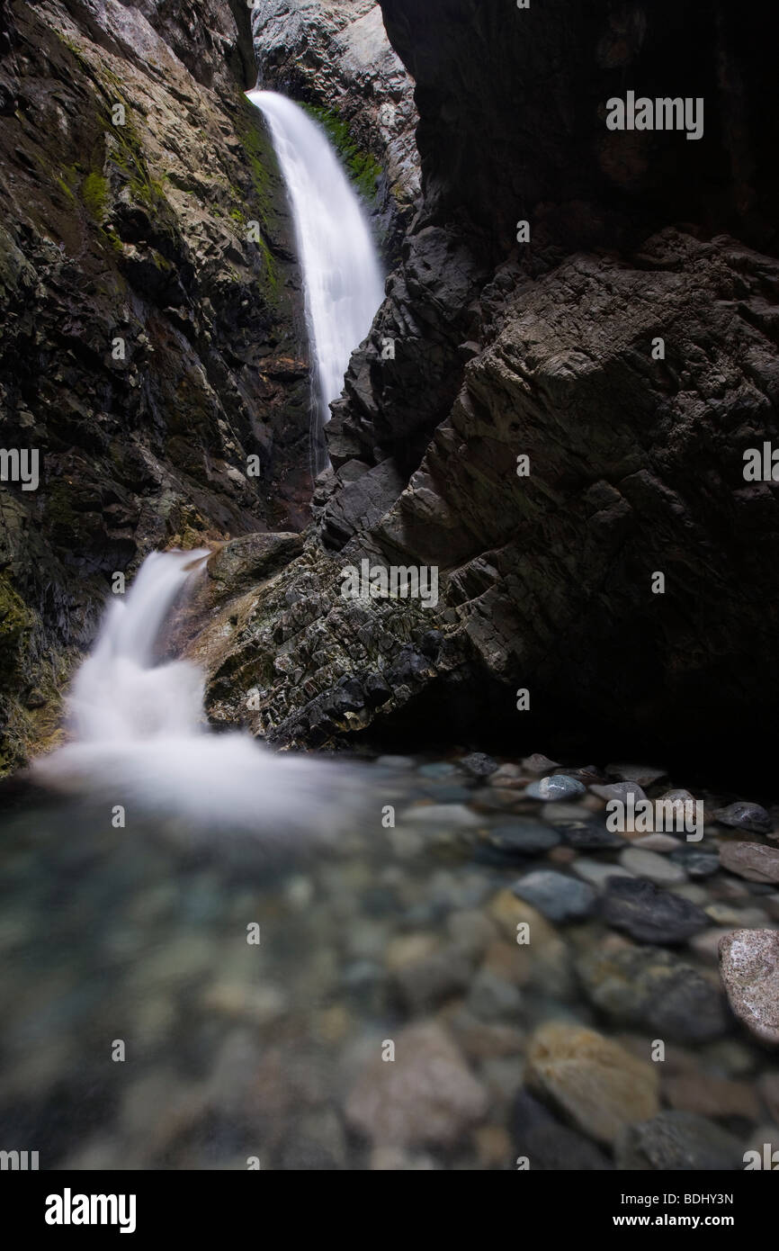 Zapata Falls, Zapata Falls Recreation Area (Bureau of Land Management), Alamosa County, Colorado Stock Photohttps://www.alamy.com/image-license-details/?v=1https://www.alamy.com/stock-photo-zapata-falls-zapata-falls-recreation-area-bureau-of-land-management-25595353.html
RMBDHY3N–Zapata Falls, Zapata Falls Recreation Area (Bureau of Land Management), Alamosa County, Colorado
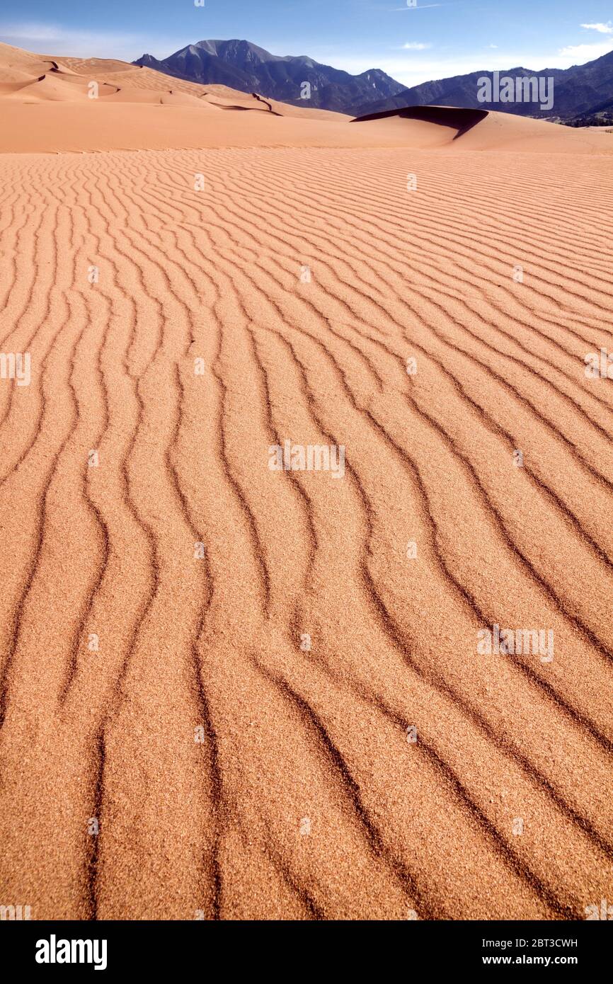 Desert landscape, Great Sand Dunes National Park, Colorado, USA Stock Photohttps://www.alamy.com/image-license-details/?v=1https://www.alamy.com/desert-landscape-great-sand-dunes-national-park-colorado-usa-image359035085.html
RF2BT3CWH–Desert landscape, Great Sand Dunes National Park, Colorado, USA
 Swainson's Hawk Buteo swainsoni Alamosa County Colorado USA Stock Photohttps://www.alamy.com/image-license-details/?v=1https://www.alamy.com/stock-photo-swainsons-hawk-buteo-swainsoni-alamosa-county-colorado-usa-53568047.html
RMD346GF–Swainson's Hawk Buteo swainsoni Alamosa County Colorado USA
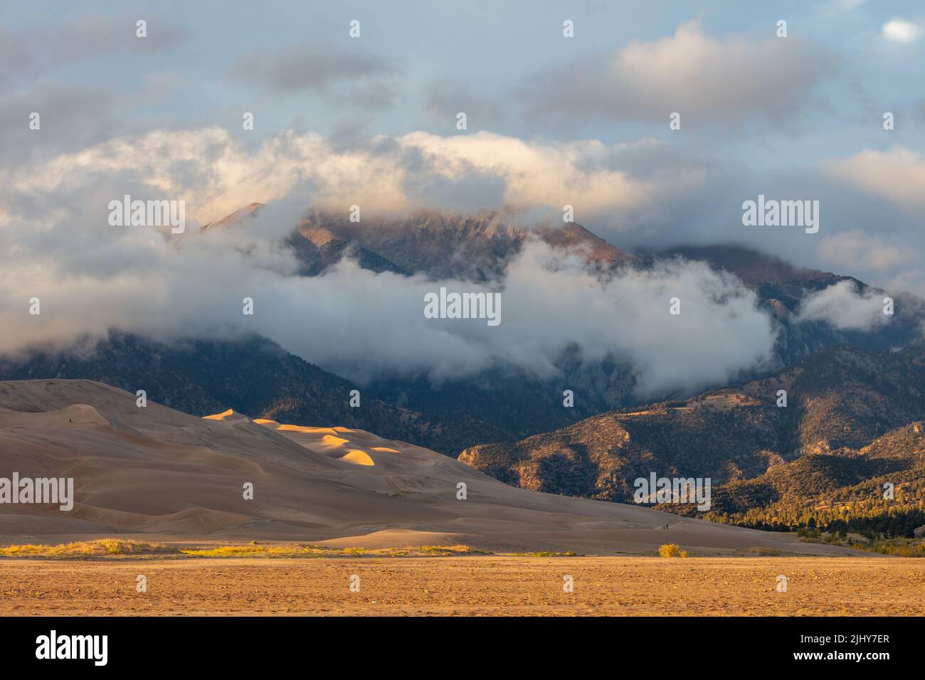 Evening light on the dunes and mountains, Great Sand Dunes National Park, Colorado Stock Photohttps://www.alamy.com/image-license-details/?v=1https://www.alamy.com/evening-light-on-the-dunes-and-mountains-great-sand-dunes-national-park-colorado-image475727695.html
RM2JHY7ER–Evening light on the dunes and mountains, Great Sand Dunes National Park, Colorado
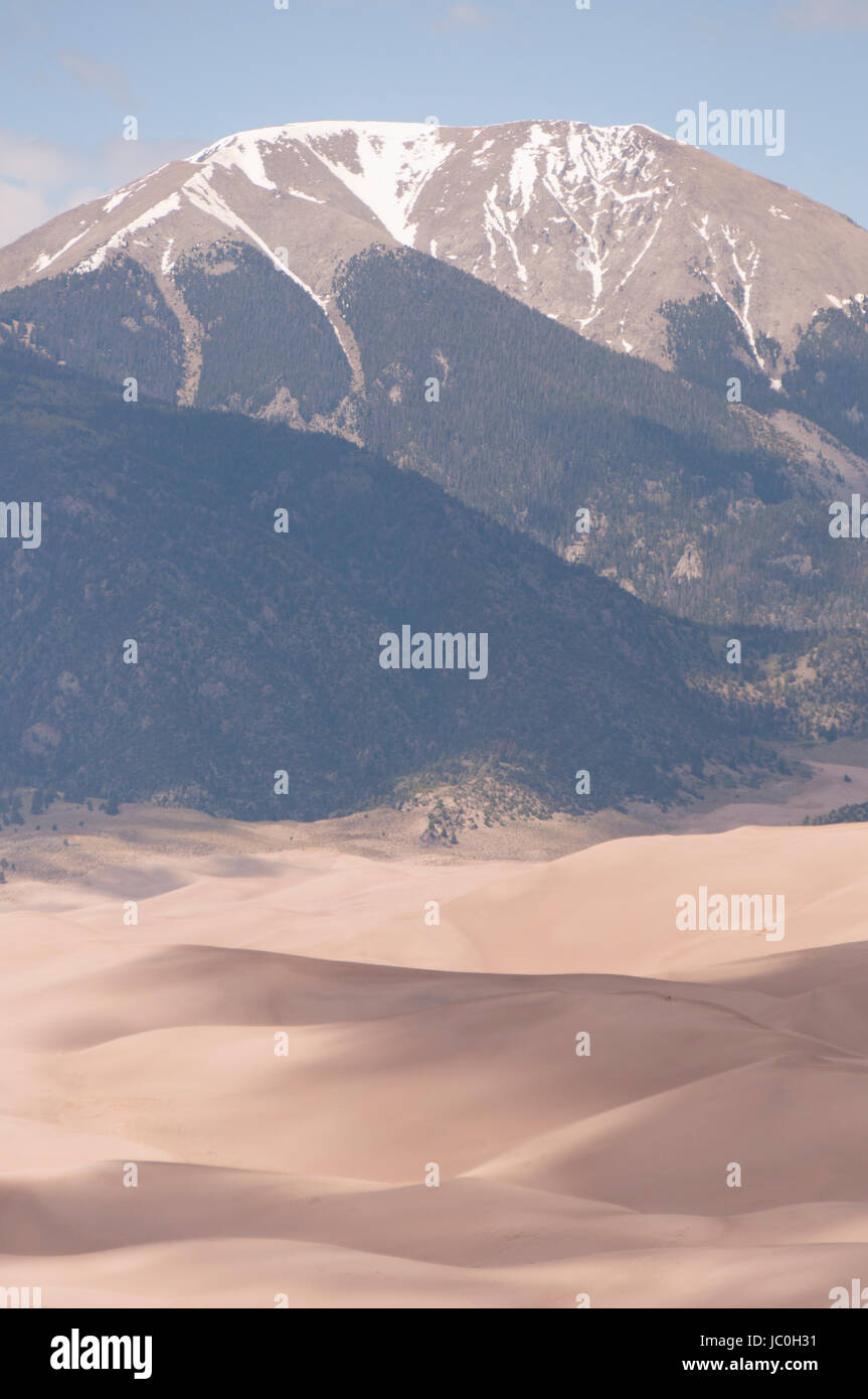 Mount Herard and the Sangre de Cristo Range from the summit of High Dune, Great Sand Dunes National Park and Preserve, Colorado, USA Stock Photohttps://www.alamy.com/image-license-details/?v=1https://www.alamy.com/stock-photo-mount-herard-and-the-sangre-de-cristo-range-from-the-summit-of-high-145072229.html
RMJC0H31–Mount Herard and the Sangre de Cristo Range from the summit of High Dune, Great Sand Dunes National Park and Preserve, Colorado, USA
 Colorado Welcome Center and Train Depot at Alamosa, Colorado. Scenic train rides on the Denver and Rio Grande Narrow Gauge Railroad are available here Stock Photohttps://www.alamy.com/image-license-details/?v=1https://www.alamy.com/colorado-welcome-center-and-train-depot-at-alamosa-colorado-scenic-train-rides-on-the-denver-and-rio-grande-narrow-gauge-railroad-are-available-here-image567443182.html
RM2RY57FX–Colorado Welcome Center and Train Depot at Alamosa, Colorado. Scenic train rides on the Denver and Rio Grande Narrow Gauge Railroad are available here
 Rendering of a green 3d highway sign for Alamosa County Stock Photohttps://www.alamy.com/image-license-details/?v=1https://www.alamy.com/rendering-of-a-green-3d-highway-sign-for-alamosa-county-image330279519.html
RF2A59EW3–Rendering of a green 3d highway sign for Alamosa County
 Glistening Sand Stock Photohttps://www.alamy.com/image-license-details/?v=1https://www.alamy.com/glistening-sand-image635932214.html
RF2YXH60P–Glistening Sand
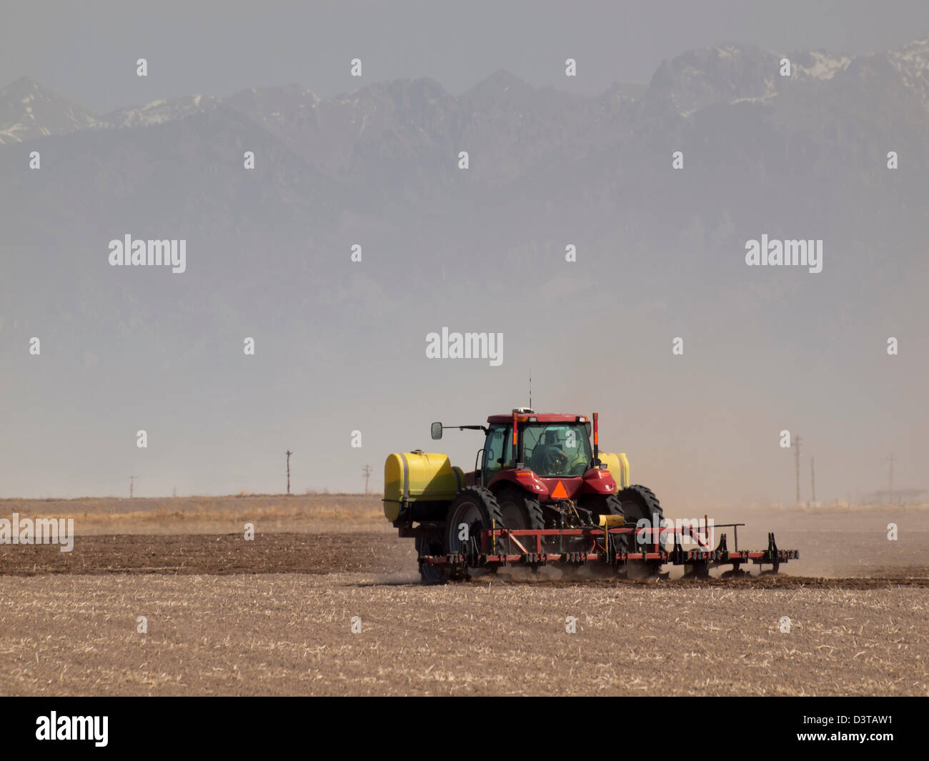 Spring plowing in sand storm near Alamosa, Colorado. Stock Photohttps://www.alamy.com/image-license-details/?v=1https://www.alamy.com/stock-photo-spring-plowing-in-sand-storm-near-alamosa-colorado-54010461.html
RFD3TAW1–Spring plowing in sand storm near Alamosa, Colorado.
 Male Red-winged Blackbird in Alamosa National Wildlife Refuge, Southern Colorado Stock Photohttps://www.alamy.com/image-license-details/?v=1https://www.alamy.com/male-red-winged-blackbird-in-alamosa-national-wildlife-refuge-southern-colorado-image467144922.html
RF2J40836–Male Red-winged Blackbird in Alamosa National Wildlife Refuge, Southern Colorado
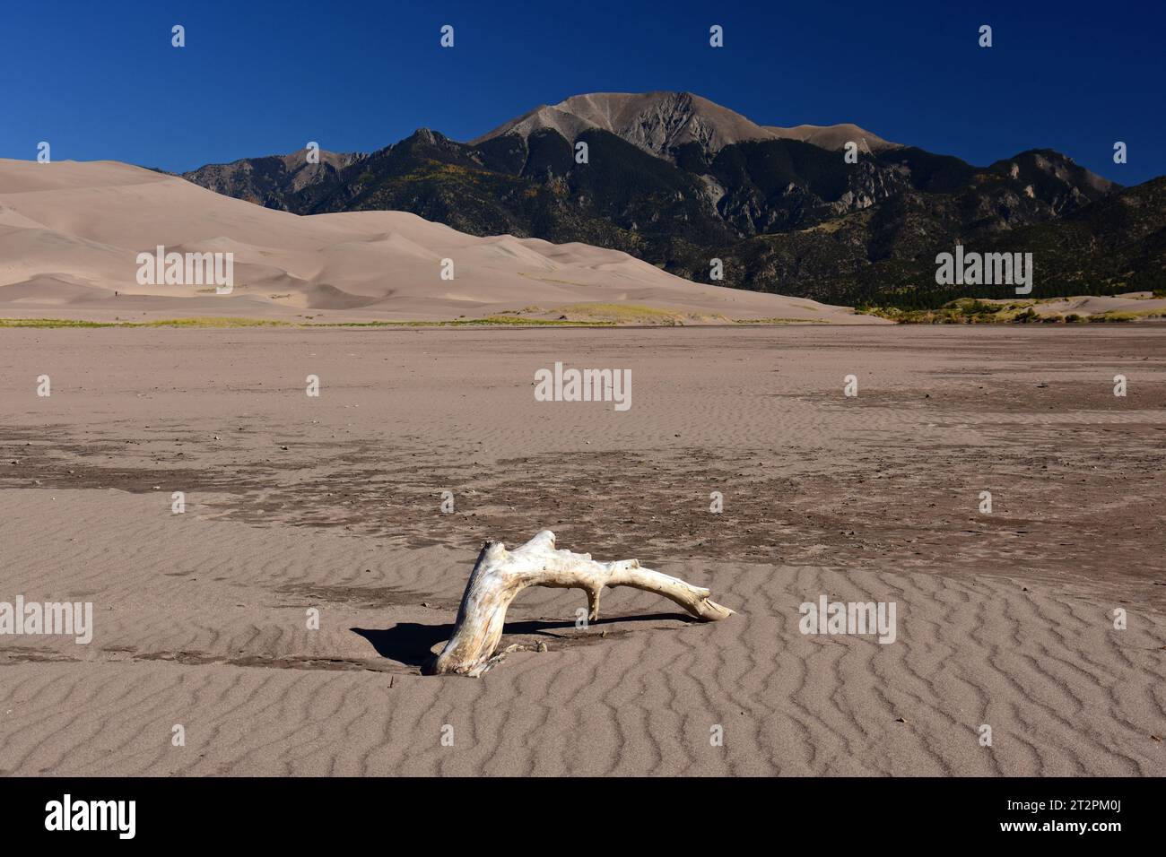 driftwood in dry mendano creek on a sunny day in the great sand dunes national park, near alamosa, colorado Stock Photohttps://www.alamy.com/image-license-details/?v=1https://www.alamy.com/driftwood-in-dry-mendano-creek-on-a-sunny-day-in-the-great-sand-dunes-national-park-near-alamosa-colorado-image569670098.html
RF2T2PM0J–driftwood in dry mendano creek on a sunny day in the great sand dunes national park, near alamosa, colorado
 Distant view of town of Monticello over (dry) Alamosa Creek, Geronimo Trail, New Mexico, USA Stock Photohttps://www.alamy.com/image-license-details/?v=1https://www.alamy.com/distant-view-of-town-of-monticello-over-dry-alamosa-creek-geronimo-trail-new-mexico-usa-image402378931.html
RF2EAHXC3–Distant view of town of Monticello over (dry) Alamosa Creek, Geronimo Trail, New Mexico, USA
 The low-slung Alamosa County Courthouse in Alamosa, Colorado Stock Photohttps://www.alamy.com/image-license-details/?v=1https://www.alamy.com/the-low-slung-alamosa-county-courthouse-in-alamosa-colorado-image329744815.html
RM2A4D4TF–The low-slung Alamosa County Courthouse in Alamosa, Colorado
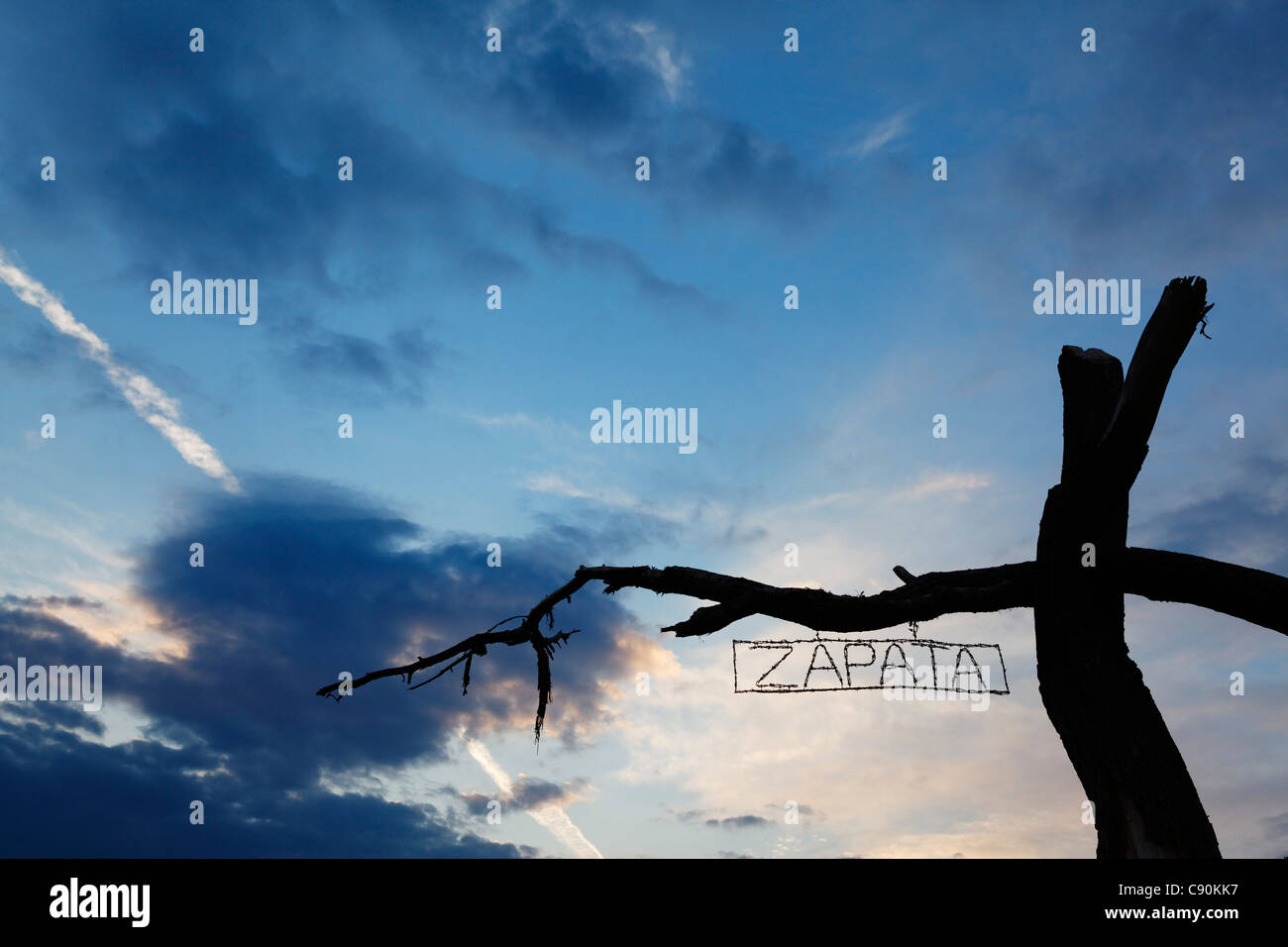 Sign Zapata Ranch is a working ranch where tourists can stay and work Alamosa Alamosa County Colorado USA North America America Stock Photohttps://www.alamy.com/image-license-details/?v=1https://www.alamy.com/stock-photo-sign-zapata-ranch-is-a-working-ranch-where-tourists-can-stay-and-work-39968075.html
RMC90KK7–Sign Zapata Ranch is a working ranch where tourists can stay and work Alamosa Alamosa County Colorado USA North America America
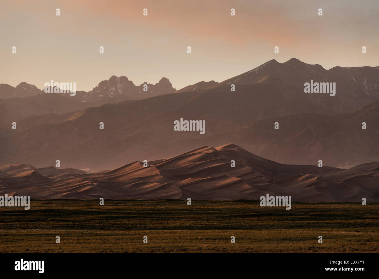 Sangre de Cristo mountain range and the Great Sand Dunes National Park and Preserve near Alamosa Colorado, USA. (Adrien Veczan) Stock Photohttps://www.alamy.com/image-license-details/?v=1https://www.alamy.com/stock-photo-sangre-de-cristo-mountain-range-and-the-great-sand-dunes-national-74950373.html
RME9X7Y1–Sangre de Cristo mountain range and the Great Sand Dunes National Park and Preserve near Alamosa Colorado, USA. (Adrien Veczan)
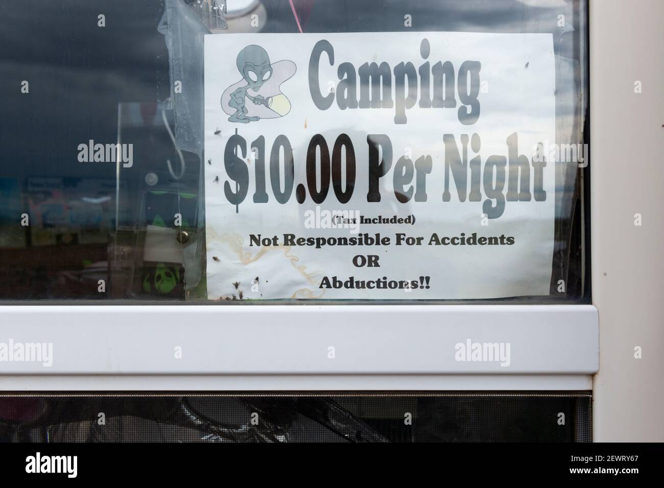 Hooper, Colorado - July 14, 2014: Detail of the information with the price for camping at the UFO watchtower, near town of Hooper, in the state of Col Stock Photohttps://www.alamy.com/image-license-details/?v=1https://www.alamy.com/hooper-colorado-july-14-2014-detail-of-the-information-with-the-price-for-camping-at-the-ufo-watchtower-near-town-of-hooper-in-the-state-of-col-image411731103.html
RM2EWRY67–Hooper, Colorado - July 14, 2014: Detail of the information with the price for camping at the UFO watchtower, near town of Hooper, in the state of Col
 Hiking on Sand Dunes - A tourist is hiking on a sand dune ridge on a spring day at Great Sand Dunes National Park, Colorado, USA. Stock Photohttps://www.alamy.com/image-license-details/?v=1https://www.alamy.com/stock-image-hiking-on-sand-dunes-a-tourist-is-hiking-on-a-sand-dune-ridge-on-a-168743999.html
RFKPEXKB–Hiking on Sand Dunes - A tourist is hiking on a sand dune ridge on a spring day at Great Sand Dunes National Park, Colorado, USA.
 Autumn Landscape Stock Photohttps://www.alamy.com/image-license-details/?v=1https://www.alamy.com/autumn-landscape-image567905141.html
RF2RYX8PD–Autumn Landscape
 USA, UnitedStates, America, Southwest, Colorado, Alamosa County, Great Sand Dunes, National Park, Preserve, dunes, landscape, sa Stock Photohttps://www.alamy.com/image-license-details/?v=1https://www.alamy.com/stock-photo-usa-unitedstates-america-southwest-colorado-alamosa-county-great-sand-89026009.html
RMF4RDG9–USA, UnitedStates, America, Southwest, Colorado, Alamosa County, Great Sand Dunes, National Park, Preserve, dunes, landscape, sa
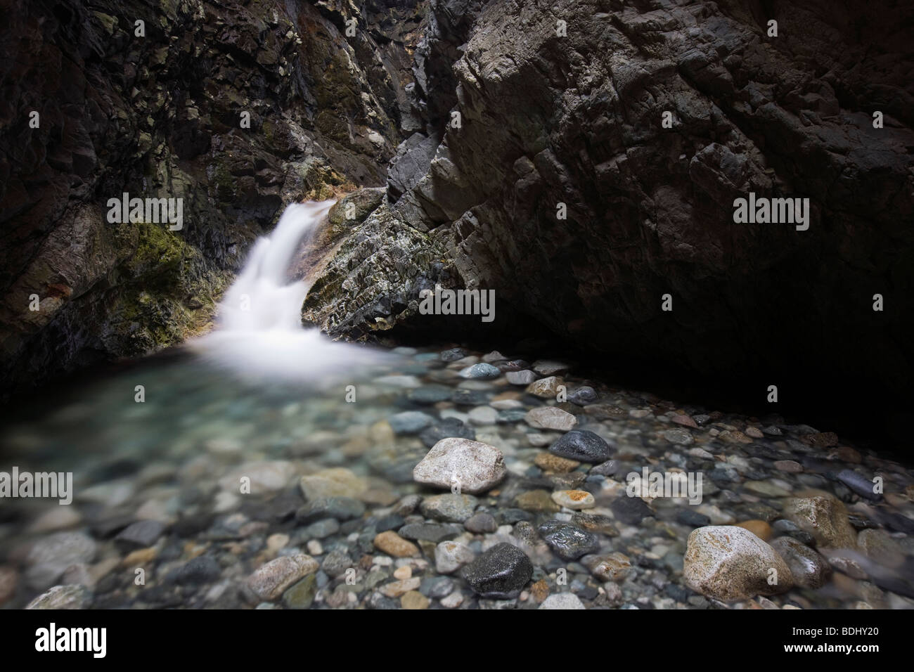 Zapata Falls, Zapata Falls Recreation Area (Bureau of Land Management), Alamosa County, Colorado Stock Photohttps://www.alamy.com/image-license-details/?v=1https://www.alamy.com/stock-photo-zapata-falls-zapata-falls-recreation-area-bureau-of-land-management-25595304.html
RMBDHY20–Zapata Falls, Zapata Falls Recreation Area (Bureau of Land Management), Alamosa County, Colorado
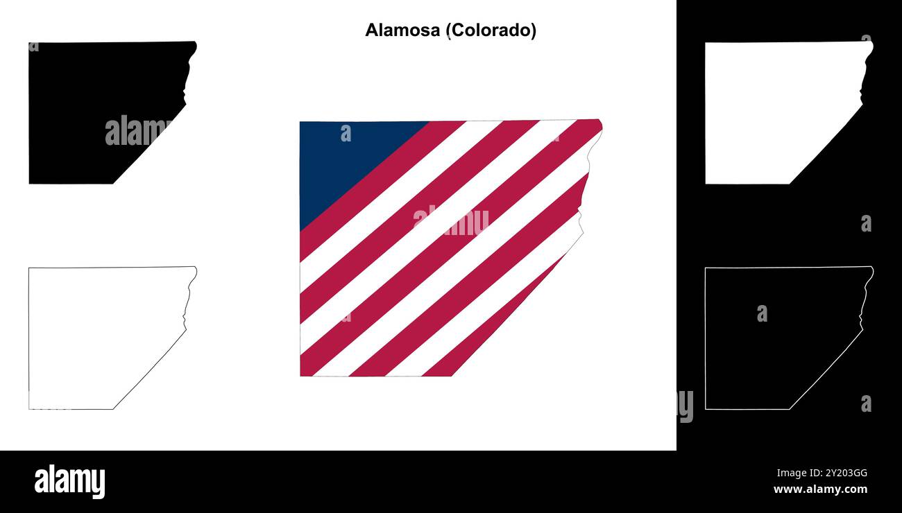 Alamosa County (Colorado) outline map set Stock Vectorhttps://www.alamy.com/image-license-details/?v=1https://www.alamy.com/alamosa-county-colorado-outline-map-set-image620805376.html
RF2Y203GG–Alamosa County (Colorado) outline map set
 Wilson's Pharalope Phalaropus tricolor Alamosa County Colorado USA Stock Photohttps://www.alamy.com/image-license-details/?v=1https://www.alamy.com/stock-photo-wilsons-pharalope-phalaropus-tricolor-alamosa-county-colorado-usa-27844968.html
RMBH8CF4–Wilson's Pharalope Phalaropus tricolor Alamosa County Colorado USA
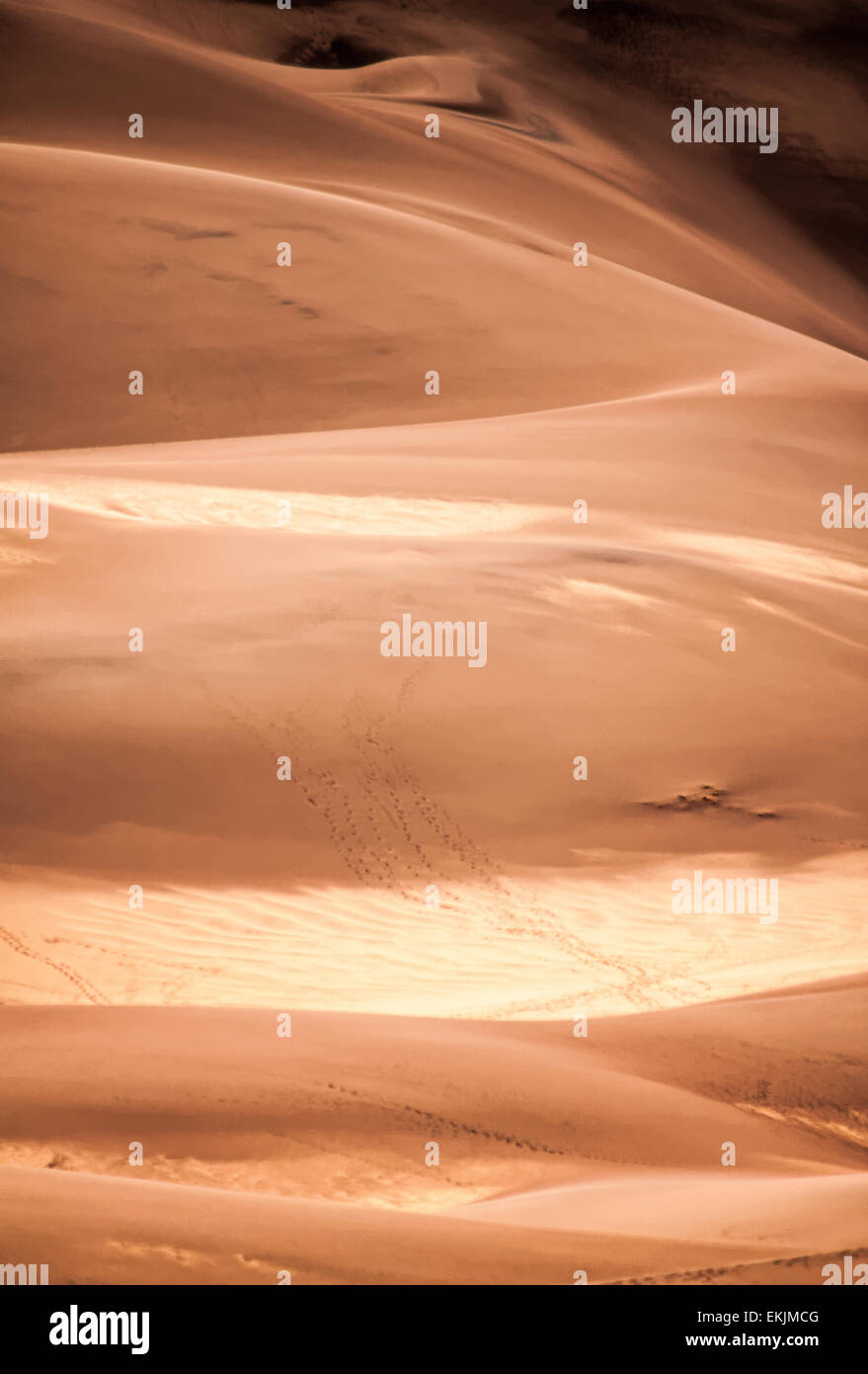 The shifting sands of the Great Sand Dunes, the tallest sand dunes in North America Stock Photohttps://www.alamy.com/image-license-details/?v=1https://www.alamy.com/stock-photo-the-shifting-sands-of-the-great-sand-dunes-the-tallest-sand-dunes-80931104.html
RFEKJMCG–The shifting sands of the Great Sand Dunes, the tallest sand dunes in North America
 Mount Herard and the Sangre de Cristo Range from the summit of High Dune, Great Sand Dunes National Park and Preserve, Colorado, USA Stock Photohttps://www.alamy.com/image-license-details/?v=1https://www.alamy.com/stock-photo-mount-herard-and-the-sangre-de-cristo-range-from-the-summit-of-high-145072231.html
RMJC0H33–Mount Herard and the Sangre de Cristo Range from the summit of High Dune, Great Sand Dunes National Park and Preserve, Colorado, USA
 Steam Engine, Coal-fired, Narrow Gauge trains at Alamosa Depot. The Rio Grande Scenic Railroad operates tours from this Train Depot. Stock Photohttps://www.alamy.com/image-license-details/?v=1https://www.alamy.com/steam-engine-coal-fired-narrow-gauge-trains-at-alamosa-depot-the-rio-grande-scenic-railroad-operates-tours-from-this-train-depot-image567443619.html
RM2RY583F–Steam Engine, Coal-fired, Narrow Gauge trains at Alamosa Depot. The Rio Grande Scenic Railroad operates tours from this Train Depot.
 Rendering of a green 3d highway sign for Alamosa County Stock Photohttps://www.alamy.com/image-license-details/?v=1https://www.alamy.com/rendering-of-a-green-3d-highway-sign-for-alamosa-county-image330279524.html
RF2A59EW8–Rendering of a green 3d highway sign for Alamosa County
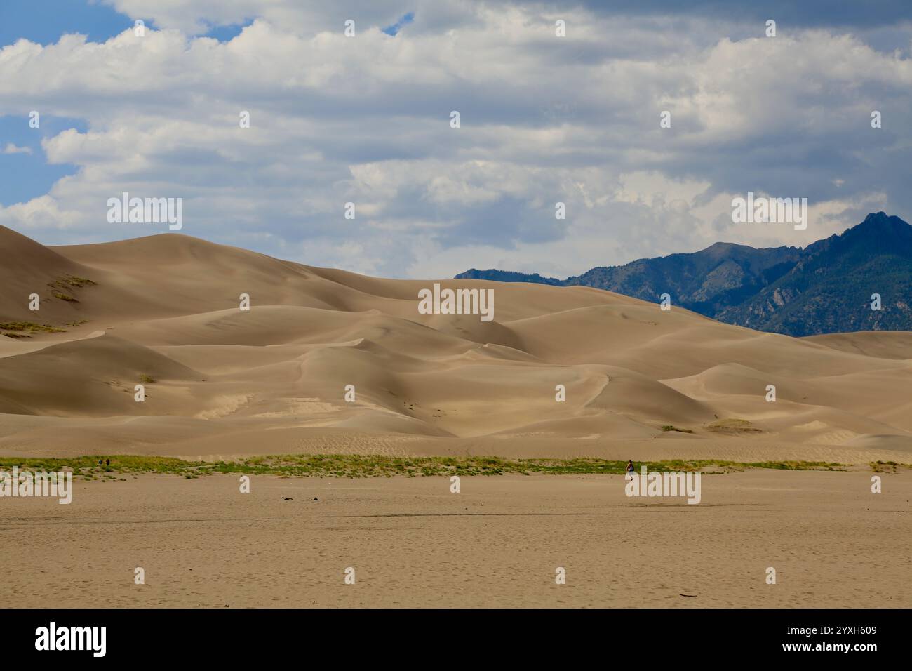 Lonely Person in the Dunes Stock Photohttps://www.alamy.com/image-license-details/?v=1https://www.alamy.com/lonely-person-in-the-dunes-image635932201.html
RF2YXH609–Lonely Person in the Dunes
 Spring plowing in sand storm near Alamosa, Colorado. Stock Photohttps://www.alamy.com/image-license-details/?v=1https://www.alamy.com/stock-photo-spring-plowing-in-sand-storm-near-alamosa-colorado-54013503.html
RFD3TENK–Spring plowing in sand storm near Alamosa, Colorado.
 Male Red-winged Blackbird in Alamosa National Wildlife Refuge, Southern Colorado Stock Photohttps://www.alamy.com/image-license-details/?v=1https://www.alamy.com/male-red-winged-blackbird-in-alamosa-national-wildlife-refuge-southern-colorado-image467144919.html
RF2J40833–Male Red-winged Blackbird in Alamosa National Wildlife Refuge, Southern Colorado
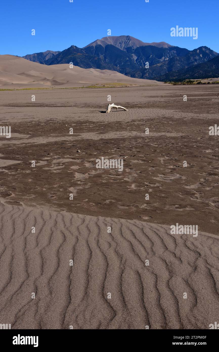 driftwood in dry mendano creek on a sunny day in the great sand dunes national park, near alamosa, colorado Stock Photohttps://www.alamy.com/image-license-details/?v=1https://www.alamy.com/driftwood-in-dry-mendano-creek-on-a-sunny-day-in-the-great-sand-dunes-national-park-near-alamosa-colorado-image569670095.html
RF2T2PM0F–driftwood in dry mendano creek on a sunny day in the great sand dunes national park, near alamosa, colorado
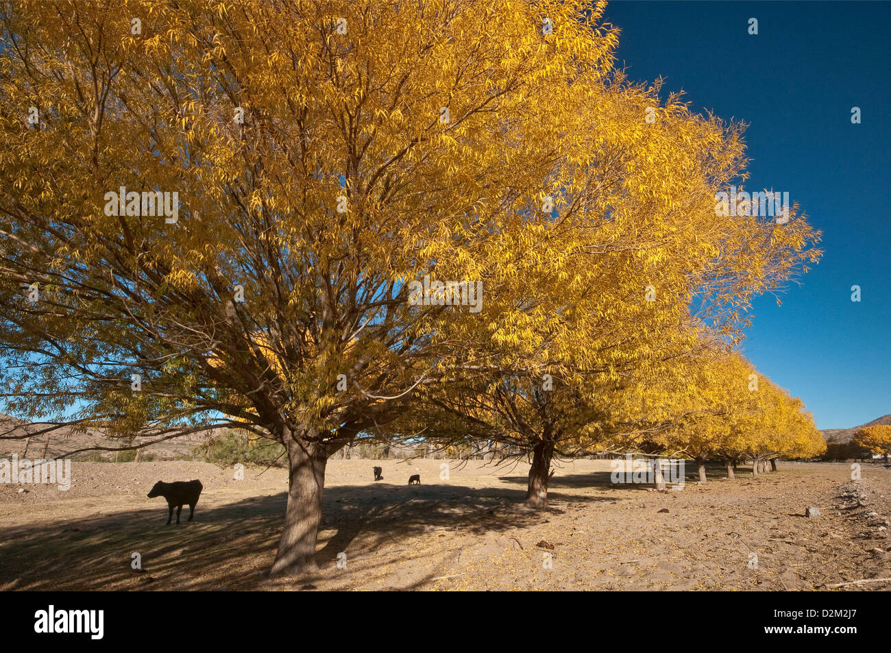 Cottonwood trees in autumn, over dry Alamosa Creek, in Monticello, Geronimo Trail, New Mexico, USA Stock Photohttps://www.alamy.com/image-license-details/?v=1https://www.alamy.com/stock-photo-cottonwood-trees-in-autumn-over-dry-alamosa-creek-in-monticello-geronimo-53301535.html
RFD2M2J7–Cottonwood trees in autumn, over dry Alamosa Creek, in Monticello, Geronimo Trail, New Mexico, USA
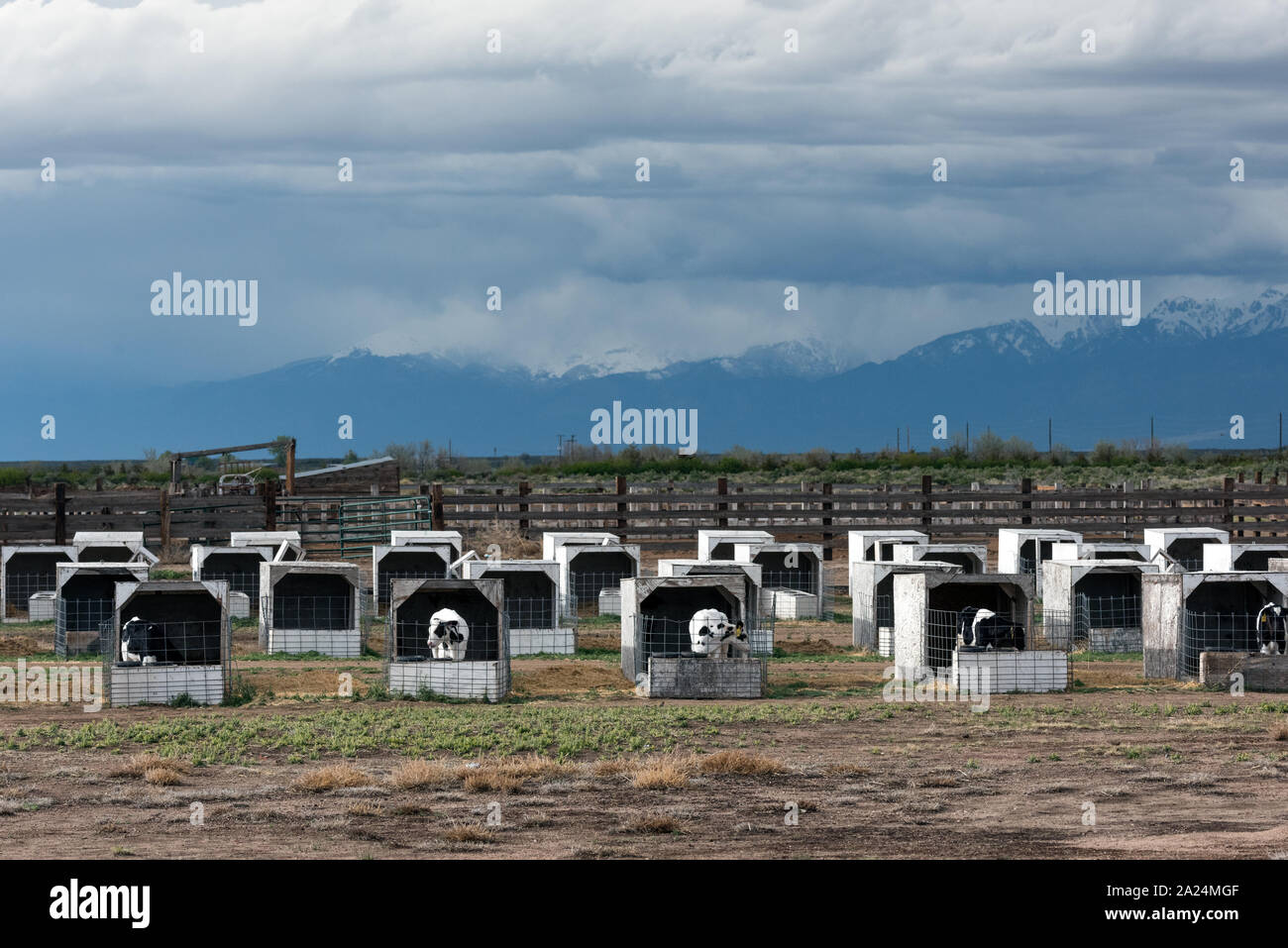 Penned calves, which from a distance look like pigs in stys, near Alamosa in Alamosa County, Colorado Stock Photohttps://www.alamy.com/image-license-details/?v=1https://www.alamy.com/penned-calves-which-from-a-distance-look-like-pigs-in-stys-near-alamosa-in-alamosa-county-colorado-image328330255.html
RM2A24MGF–Penned calves, which from a distance look like pigs in stys, near Alamosa in Alamosa County, Colorado
 Zapata Ranch is a working ranch where tourists can stay and work, Alamosa, Alamosa County, Colorado, USA, North America, America Stock Photohttps://www.alamy.com/image-license-details/?v=1https://www.alamy.com/stock-photo-zapata-ranch-is-a-working-ranch-where-tourists-can-stay-and-work-alamosa-39968308.html
RMC90KYG–Zapata Ranch is a working ranch where tourists can stay and work, Alamosa, Alamosa County, Colorado, USA, North America, America
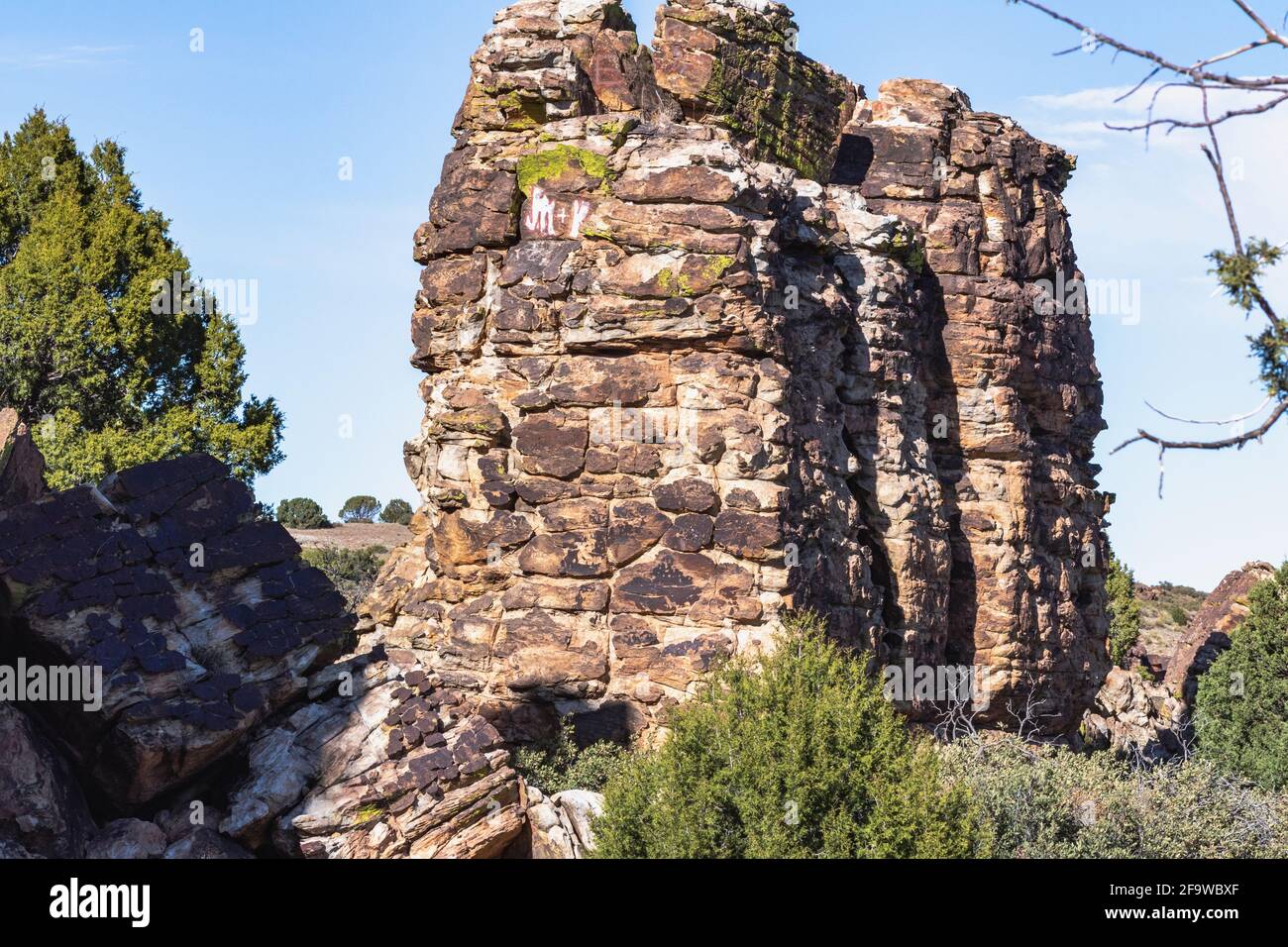 the High Plains of west Texas and east New Mexico Otherwise known as the Llano Estacado Stock Photohttps://www.alamy.com/image-license-details/?v=1https://www.alamy.com/the-high-plains-of-west-texas-and-east-new-mexico-otherwise-known-as-the-llano-estacado-image419138903.html
RF2F9WBXF–the High Plains of west Texas and east New Mexico Otherwise known as the Llano Estacado
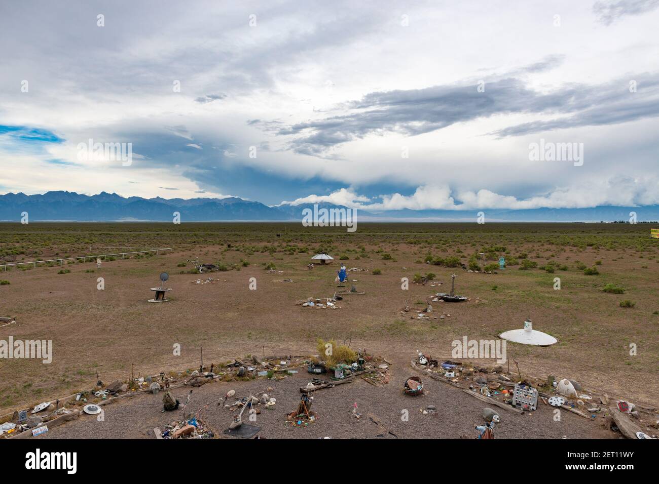 Hooper, Colorado - July 14, 2014: View from the UFO watchtower, near town of Hooper, in the state of Colorado, USA. Stock Photohttps://www.alamy.com/image-license-details/?v=1https://www.alamy.com/hooper-colorado-july-14-2014-view-from-the-ufo-watchtower-near-town-of-hooper-in-the-state-of-colorado-usa-image410613671.html
RM2ET11WY–Hooper, Colorado - July 14, 2014: View from the UFO watchtower, near town of Hooper, in the state of Colorado, USA.
 Denver, Colorado, USA. 1st Nov, 2024. The sun sets at the Great Sand Dunes National Park May 26, 2023, near Alamosa County. (Credit Image: © Olivia Sun/Colorado Sun via ZUMA Press Wire) EDITORIAL USAGE ONLY! Not for Commercial USAGE! Credit: ZUMA Press, Inc./Alamy Live News Stock Photohttps://www.alamy.com/image-license-details/?v=1https://www.alamy.com/denver-colorado-usa-1st-nov-2024-the-sun-sets-at-the-great-sand-dunes-national-park-may-26-2023-near-alamosa-county-credit-image-olivia-suncolorado-sun-via-zuma-press-wire-editorial-usage-only!-not-for-commercial-usage!-credit-zuma-press-incalamy-live-news-image628772970.html
RM2YEY29E–Denver, Colorado, USA. 1st Nov, 2024. The sun sets at the Great Sand Dunes National Park May 26, 2023, near Alamosa County. (Credit Image: © Olivia Sun/Colorado Sun via ZUMA Press Wire) EDITORIAL USAGE ONLY! Not for Commercial USAGE! Credit: ZUMA Press, Inc./Alamy Live News
 Buffalo Ranch Stock Photohttps://www.alamy.com/image-license-details/?v=1https://www.alamy.com/buffalo-ranch-image567909309.html
RM2RYXE39–Buffalo Ranch
 USA, UnitedStates, America, Southwest, Colorado, Alamosa County, Great Sand Dunes, National Park, Preserve, dunes, landscape, sa Stock Photohttps://www.alamy.com/image-license-details/?v=1https://www.alamy.com/stock-photo-usa-unitedstates-america-southwest-colorado-alamosa-county-great-sand-89026010.html
RMF4RDGA–USA, UnitedStates, America, Southwest, Colorado, Alamosa County, Great Sand Dunes, National Park, Preserve, dunes, landscape, sa
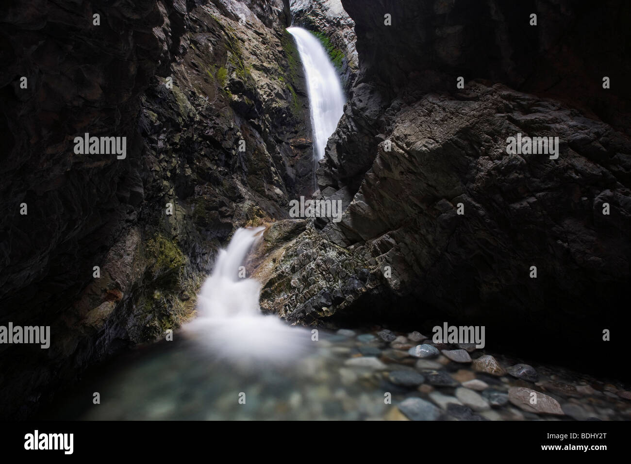 Zapata Falls, Zapata Falls Recreation Area (Bureau of Land Management), Alamosa County, Colorado Stock Photohttps://www.alamy.com/image-license-details/?v=1https://www.alamy.com/stock-photo-zapata-falls-zapata-falls-recreation-area-bureau-of-land-management-25595328.html
RMBDHY2T–Zapata Falls, Zapata Falls Recreation Area (Bureau of Land Management), Alamosa County, Colorado
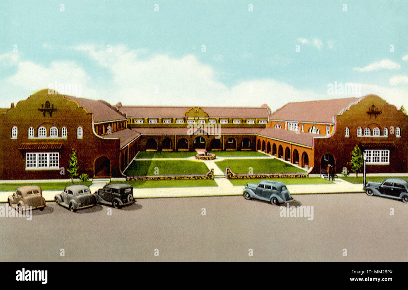 Alamosa County Court House. Alamosa. 1935 Stock Photohttps://www.alamy.com/image-license-details/?v=1https://www.alamy.com/alamosa-county-court-house-alamosa-1935-image184447618.html
RMMM28PX–Alamosa County Court House. Alamosa. 1935
 Wilson's Pharalope Phalaropus tricolor Alamosa County Colorado USA Stock Photohttps://www.alamy.com/image-license-details/?v=1https://www.alamy.com/stock-photo-wilsons-pharalope-phalaropus-tricolor-alamosa-county-colorado-usa-27844973.html
RMBH8CF9–Wilson's Pharalope Phalaropus tricolor Alamosa County Colorado USA
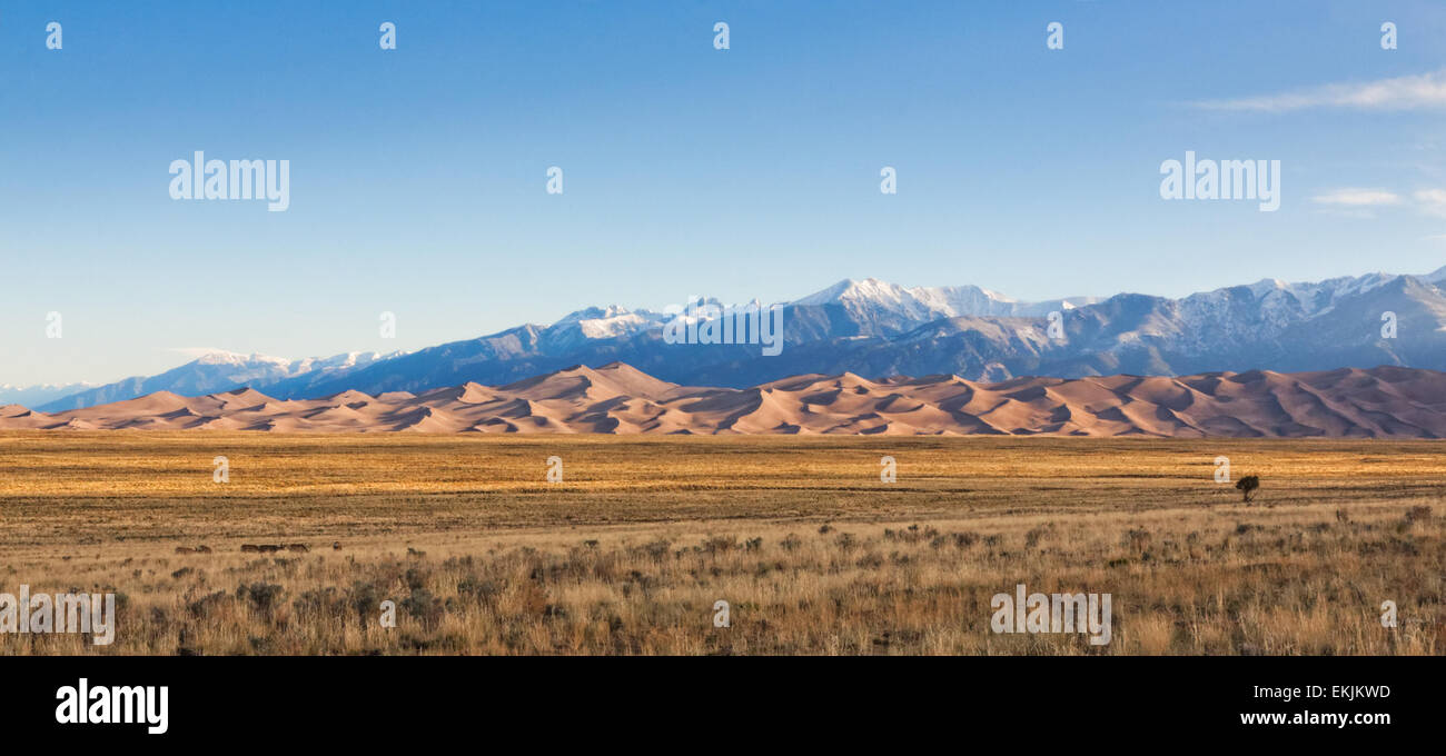 Small flock of deer feeding on scrub grassland at the foot of the Great Sand Dunes and Sangre de Cristo mountains Stock Photohttps://www.alamy.com/image-license-details/?v=1https://www.alamy.com/stock-photo-small-flock-of-deer-feeding-on-scrub-grassland-at-the-foot-of-the-80930681.html
RFEKJKWD–Small flock of deer feeding on scrub grassland at the foot of the Great Sand Dunes and Sangre de Cristo mountains
 Mount Herard and the Sangre de Cristo Range from the summit of High Dune, Great Sand Dunes National Park and Preserve, Colorado, USA Stock Photohttps://www.alamy.com/image-license-details/?v=1https://www.alamy.com/stock-photo-mount-herard-and-the-sangre-de-cristo-range-from-the-summit-of-high-145072227.html
RMJC0H2Y–Mount Herard and the Sangre de Cristo Range from the summit of High Dune, Great Sand Dunes National Park and Preserve, Colorado, USA
 Colorado Welcome Center and Train Depot at Alamosa, Colorado. Scenic train rides on the Denver and Rio Grande Narrow Gauge Railroad are available here Stock Photohttps://www.alamy.com/image-license-details/?v=1https://www.alamy.com/colorado-welcome-center-and-train-depot-at-alamosa-colorado-scenic-train-rides-on-the-denver-and-rio-grande-narrow-gauge-railroad-are-available-here-image567443172.html
RM2RY57FG–Colorado Welcome Center and Train Depot at Alamosa, Colorado. Scenic train rides on the Denver and Rio Grande Narrow Gauge Railroad are available here
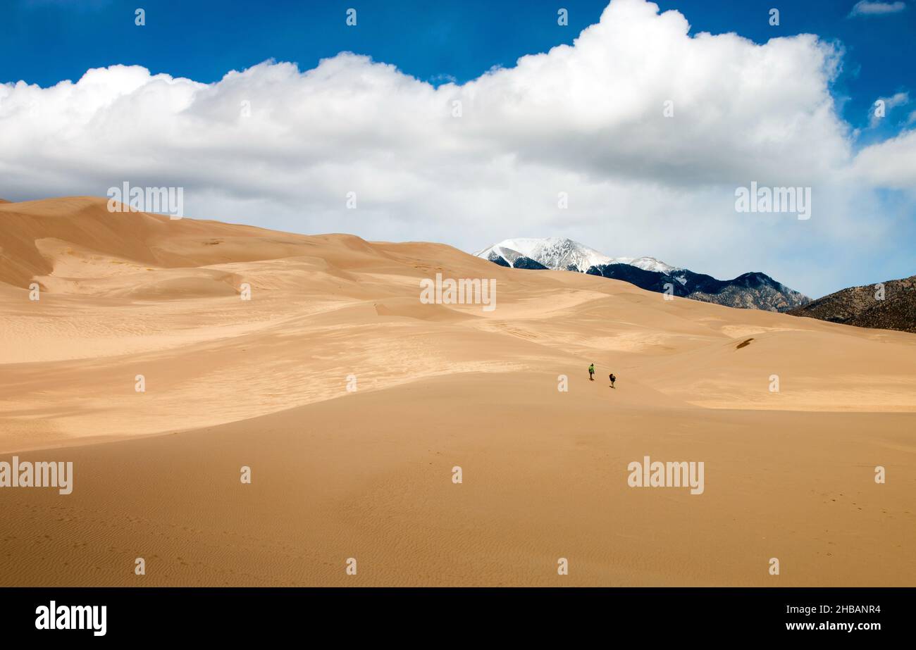 Visitors walk up the dunes. Great Sand Dunes National Park and Preserve is a US national park that conserves an area of large sand dunes up to 750ft (230m) tall on the eastern edge of the San Luis Valley, and an adjacent national preserve in the Sangre de Cristo Range, in south-central Colorado, United States. A unique, optimised version of a NPS image - Credit: NPS/Mackenzie Reed Stock Photohttps://www.alamy.com/image-license-details/?v=1https://www.alamy.com/visitors-walk-up-the-dunes-great-sand-dunes-national-park-and-preserve-is-a-us-national-park-that-conserves-an-area-of-large-sand-dunes-up-to-750ft-230m-tall-on-the-eastern-edge-of-the-san-luis-valley-and-an-adjacent-national-preserve-in-the-sangre-de-cristo-range-in-south-central-colorado-united-states-a-unique-optimised-version-of-a-nps-image-credit-npsmackenzie-reed-image454467416.html
RM2HBANR4–Visitors walk up the dunes. Great Sand Dunes National Park and Preserve is a US national park that conserves an area of large sand dunes up to 750ft (230m) tall on the eastern edge of the San Luis Valley, and an adjacent national preserve in the Sangre de Cristo Range, in south-central Colorado, United States. A unique, optimised version of a NPS image - Credit: NPS/Mackenzie Reed
 Dramatic Sky at Great Sand Dunes National Park Stock Photohttps://www.alamy.com/image-license-details/?v=1https://www.alamy.com/dramatic-sky-at-great-sand-dunes-national-park-image635932207.html
RF2YXH60F–Dramatic Sky at Great Sand Dunes National Park
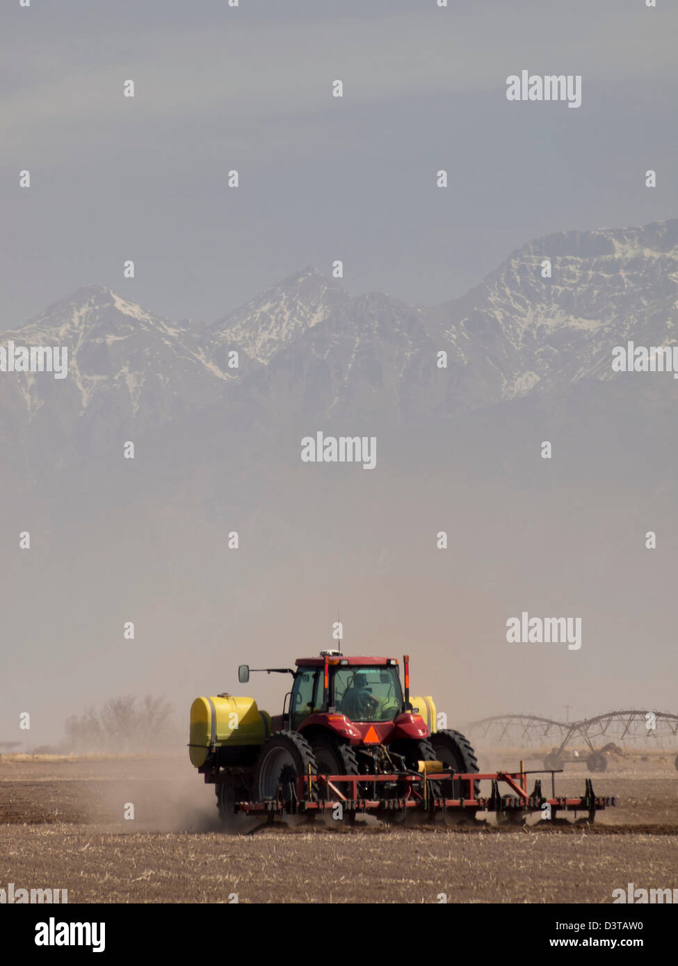 Spring plowing in sand storm near Alamosa, Colorado. Stock Photohttps://www.alamy.com/image-license-details/?v=1https://www.alamy.com/stock-photo-spring-plowing-in-sand-storm-near-alamosa-colorado-54010460.html
RFD3TAW0–Spring plowing in sand storm near Alamosa, Colorado.
 Male Red-winged Blackbird in Alamosa National Wildlife Refuge, Southern Colorado Stock Photohttps://www.alamy.com/image-license-details/?v=1https://www.alamy.com/male-red-winged-blackbird-in-alamosa-national-wildlife-refuge-southern-colorado-image467144927.html
RF2J4083B–Male Red-winged Blackbird in Alamosa National Wildlife Refuge, Southern Colorado
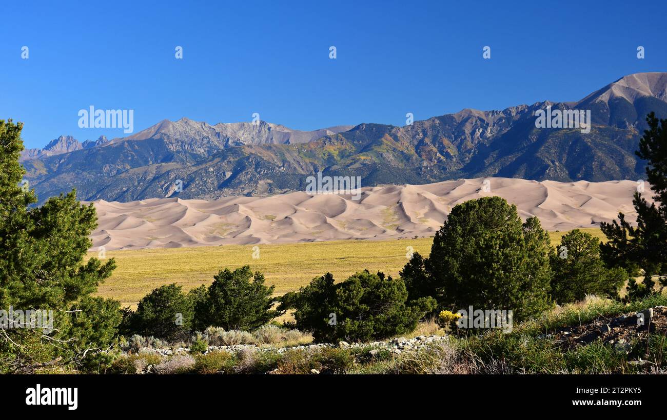 sand dunes and the san juan mountain peaks on a sunny day in great sand dunes national park, near alamosa, colorado Stock Photohttps://www.alamy.com/image-license-details/?v=1https://www.alamy.com/sand-dunes-and-the-san-juan-mountain-peaks-on-a-sunny-day-in-great-sand-dunes-national-park-near-alamosa-colorado-image569670057.html
RF2T2PKY5–sand dunes and the san juan mountain peaks on a sunny day in great sand dunes national park, near alamosa, colorado
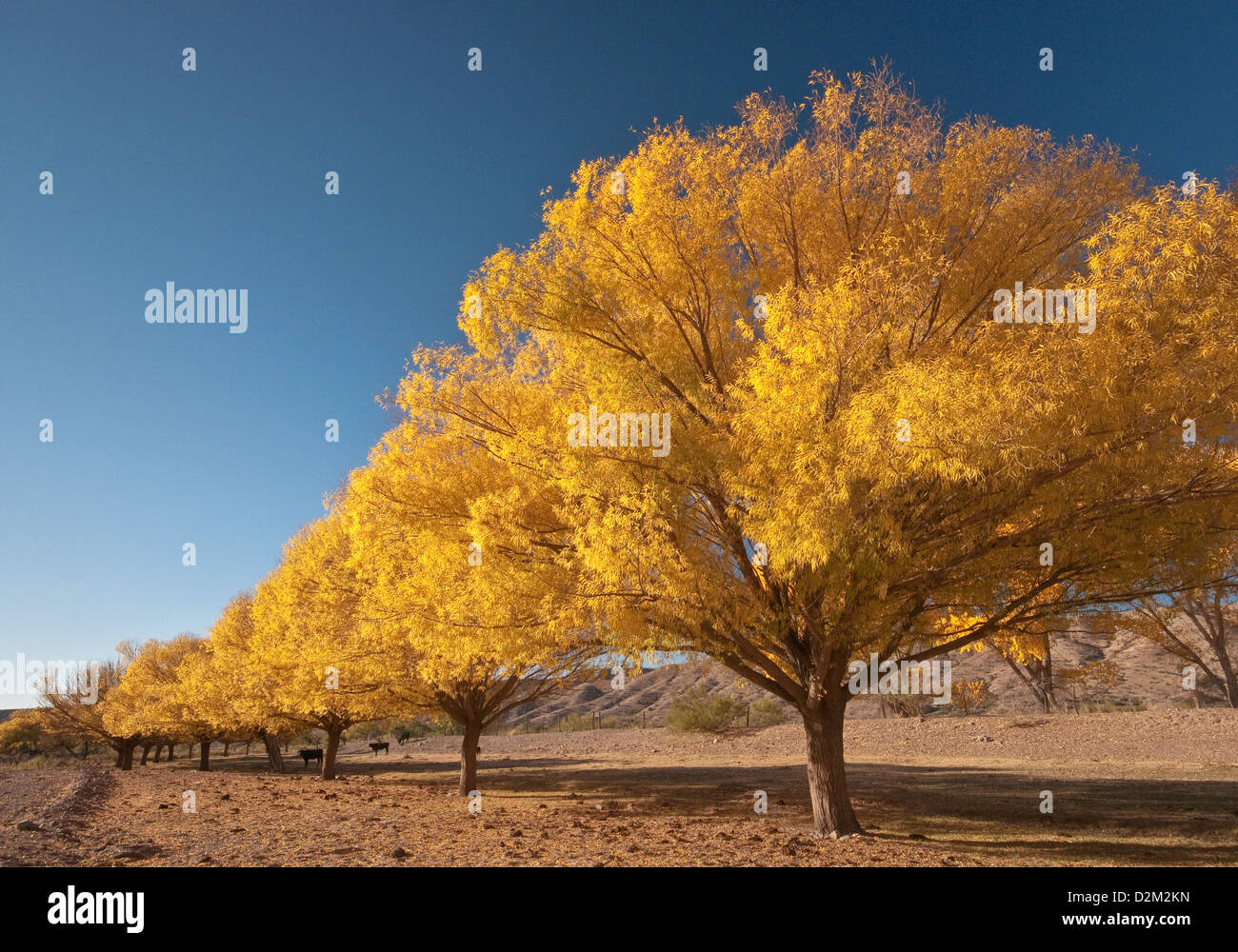 Cottonwood trees in autumn, over dry Alamosa Creek, in Monticello, Geronimo Trail, New Mexico, USA Stock Photohttps://www.alamy.com/image-license-details/?v=1https://www.alamy.com/stock-photo-cottonwood-trees-in-autumn-over-dry-alamosa-creek-in-monticello-geronimo-53301577.html
RFD2M2KN–Cottonwood trees in autumn, over dry Alamosa Creek, in Monticello, Geronimo Trail, New Mexico, USA
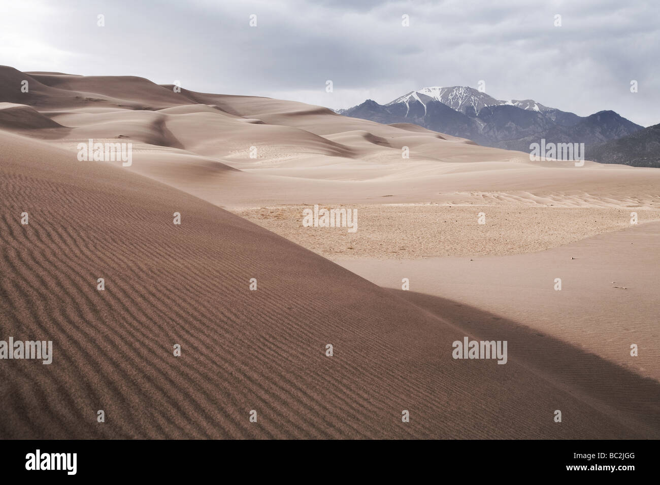 Great Sand Dunes National Park - Alamosa County and Saguache County, Sangre de Cristo Range, Colorado, United States Stock Photohttps://www.alamy.com/image-license-details/?v=1https://www.alamy.com/stock-photo-great-sand-dunes-national-park-alamosa-county-and-saguache-county-24644720.html
RMBC2JGG–Great Sand Dunes National Park - Alamosa County and Saguache County, Sangre de Cristo Range, Colorado, United States
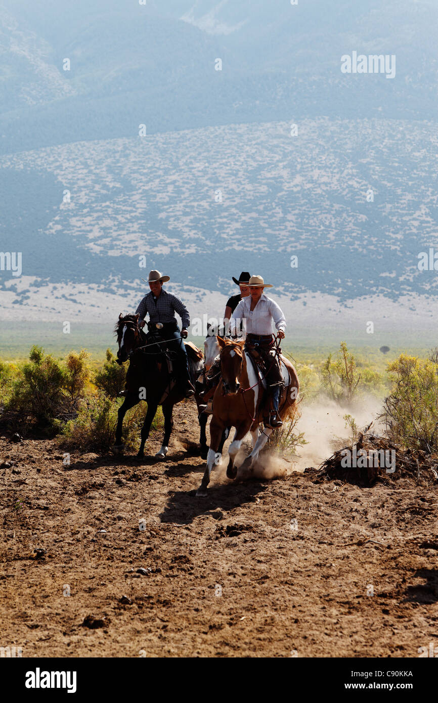 Zapata Ranch is a working ranch where tourists can stay and work, Alamosa, Alamosa County, Colorado, USA, North America, America Stock Photohttps://www.alamy.com/image-license-details/?v=1https://www.alamy.com/stock-photo-zapata-ranch-is-a-working-ranch-where-tourists-can-stay-and-work-alamosa-39968078.html
RMC90KKA–Zapata Ranch is a working ranch where tourists can stay and work, Alamosa, Alamosa County, Colorado, USA, North America, America
 Culebra Range of the Sangre de Cristo Mountains The Sangre de Cristo Mountains are the southernmost subrange of the Rocky Mountains Stock Photohttps://www.alamy.com/image-license-details/?v=1https://www.alamy.com/culebra-range-of-the-sangre-de-cristo-mountains-the-sangre-de-cristo-mountains-are-the-southernmost-subrange-of-the-rocky-mountains-image419138960.html
RF2F9WC0G–Culebra Range of the Sangre de Cristo Mountains The Sangre de Cristo Mountains are the southernmost subrange of the Rocky Mountains
 Hooper, Colorado - July 14, 2014: View from the UFO watchtower, near town of Hooper, in the state of Colorado, USA. Stock Photohttps://www.alamy.com/image-license-details/?v=1https://www.alamy.com/hooper-colorado-july-14-2014-view-from-the-ufo-watchtower-near-town-of-hooper-in-the-state-of-colorado-usa-image409017421.html
RM2ENC9W1–Hooper, Colorado - July 14, 2014: View from the UFO watchtower, near town of Hooper, in the state of Colorado, USA.
 Great Sand Dunes National Park and Preserve is a United States National Park located in the San Luis Valley, Colorado Stock Photohttps://www.alamy.com/image-license-details/?v=1https://www.alamy.com/stock-image-great-sand-dunes-national-park-and-preserve-is-a-united-states-national-163802104.html
RFKEDR74–Great Sand Dunes National Park and Preserve is a United States National Park located in the San Luis Valley, Colorado
 Mosca, Alamosa County, US, United States, Colorado, N 37 38' 53'', S 105 52' 26'', map, Cartascapes Map published in 2024. Explore Cartascapes, a map revealing Earth's diverse landscapes, cultures, and ecosystems. Journey through time and space, discovering the interconnectedness of our planet's past, present, and future. Stock Photohttps://www.alamy.com/image-license-details/?v=1https://www.alamy.com/mosca-alamosa-county-us-united-states-colorado-n-37-38-53-s-105-52-26-map-cartascapes-map-published-in-2024-explore-cartascapes-a-map-revealing-earths-diverse-landscapes-cultures-and-ecosystems-journey-through-time-and-space-discovering-the-interconnectedness-of-our-planets-past-present-and-future-image621270450.html
RM2Y2N8PA–Mosca, Alamosa County, US, United States, Colorado, N 37 38' 53'', S 105 52' 26'', map, Cartascapes Map published in 2024. Explore Cartascapes, a map revealing Earth's diverse landscapes, cultures, and ecosystems. Journey through time and space, discovering the interconnectedness of our planet's past, present, and future.
 USA, UnitedStates, America, Southwest, Colorado, Alamosa County, Great Sand Dunes, National Park, Preserve, dunes, landscape, sa Stock Photohttps://www.alamy.com/image-license-details/?v=1https://www.alamy.com/stock-photo-usa-unitedstates-america-southwest-colorado-alamosa-county-great-sand-89026015.html
RMF4RDGF–USA, UnitedStates, America, Southwest, Colorado, Alamosa County, Great Sand Dunes, National Park, Preserve, dunes, landscape, sa
 Alamosa County, Colorado (U.S. county, United States of America,USA, U.S., US) map vector illustration, scribble sketch Alamosa map Stock Vectorhttps://www.alamy.com/image-license-details/?v=1https://www.alamy.com/alamosa-county-colorado-us-county-united-states-of-americausa-us-us-map-vector-illustration-scribble-sketch-alamosa-map-image340379000.html
RF2ANNGTT–Alamosa County, Colorado (U.S. county, United States of America,USA, U.S., US) map vector illustration, scribble sketch Alamosa map
 An instructor with the Special Operations Advanced Mountaineering School navigates through a ridgeline on the side of Little Bear Peak during the alpine portion of the Senior Mountaineer Course July 31st, 2017 in Alamosa County, Colorado. The course is designed to build mountaineers capable of leading special operations missions in mountainous terrain. (U.S. Army photo by Staff Sgt. Will Reinier) Stock Photohttps://www.alamy.com/image-license-details/?v=1https://www.alamy.com/an-instructor-with-the-special-operations-advanced-mountaineering-school-navigates-through-a-ridgeline-on-the-side-of-little-bear-peak-during-the-alpine-portion-of-the-senior-mountaineer-course-july-31st-2017-in-alamosa-county-colorado-the-course-is-designed-to-build-mountaineers-capable-of-leading-special-operations-missions-in-mountainous-terrain-us-army-photo-by-staff-sgt-will-reinier-image187041877.html
RMMT8DR1–An instructor with the Special Operations Advanced Mountaineering School navigates through a ridgeline on the side of Little Bear Peak during the alpine portion of the Senior Mountaineer Course July 31st, 2017 in Alamosa County, Colorado. The course is designed to build mountaineers capable of leading special operations missions in mountainous terrain. (U.S. Army photo by Staff Sgt. Will Reinier)
 Barn Swallow Hirundo rustica Lots of bugs in back Alamosa County Colorado USA Stock Photohttps://www.alamy.com/image-license-details/?v=1https://www.alamy.com/stock-photo-barn-swallow-hirundo-rustica-lots-of-bugs-in-back-alamosa-county-colorado-27596814.html
RMBGW40E–Barn Swallow Hirundo rustica Lots of bugs in back Alamosa County Colorado USA
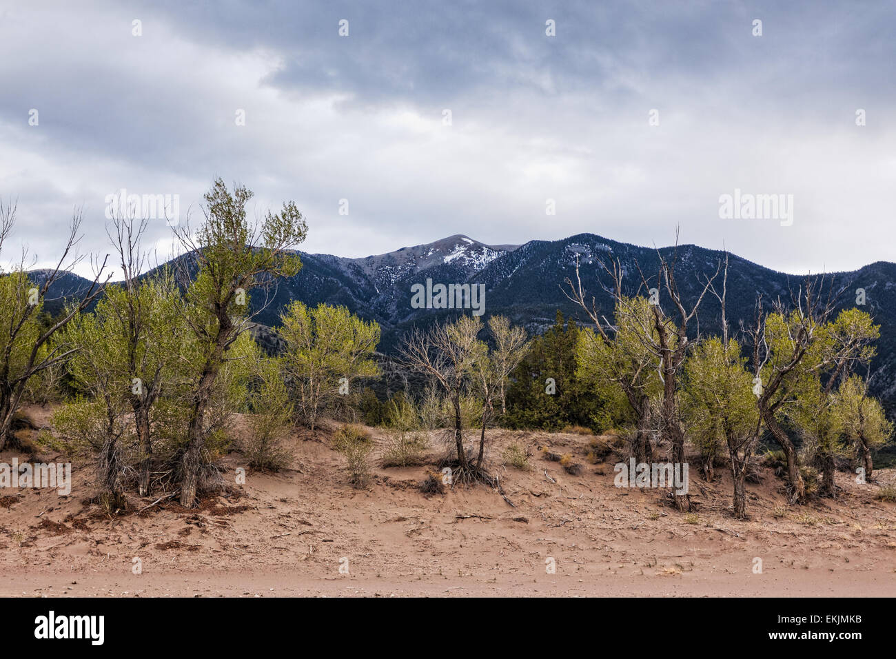 Plants on the edge of the Great Sand Dunes, with the Sangre de Cristo mountains behind Stock Photohttps://www.alamy.com/image-license-details/?v=1https://www.alamy.com/stock-photo-plants-on-the-edge-of-the-great-sand-dunes-with-the-sangre-de-cristo-80931295.html
RFEKJMKB–Plants on the edge of the Great Sand Dunes, with the Sangre de Cristo mountains behind
 Mount Herard and the Sangre de Cristo Range from the summit of High Dune, Great Sand Dunes National Park and Preserve, Colorado, USA Stock Photohttps://www.alamy.com/image-license-details/?v=1https://www.alamy.com/stock-photo-mount-herard-and-the-sangre-de-cristo-range-from-the-summit-of-high-145072228.html
RMJC0H30–Mount Herard and the Sangre de Cristo Range from the summit of High Dune, Great Sand Dunes National Park and Preserve, Colorado, USA
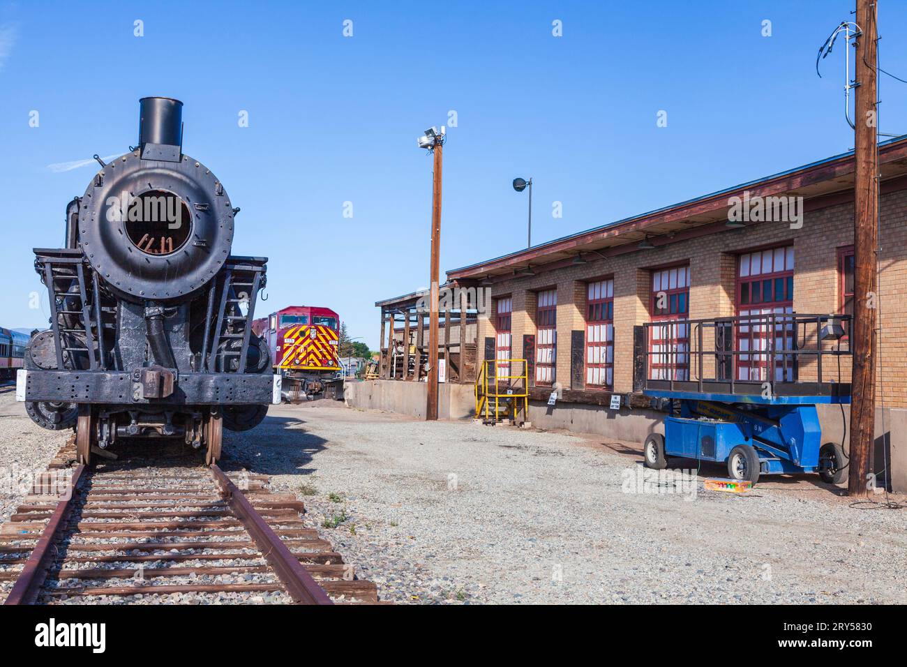 Steam Engine, Coal-fired, Narrow Gauge trains at Alamosa Depot. The Rio Grande Scenic Railroad operates tours from this Train Depot. Stock Photohttps://www.alamy.com/image-license-details/?v=1https://www.alamy.com/steam-engine-coal-fired-narrow-gauge-trains-at-alamosa-depot-the-rio-grande-scenic-railroad-operates-tours-from-this-train-depot-image567443604.html
RM2RY5830–Steam Engine, Coal-fired, Narrow Gauge trains at Alamosa Depot. The Rio Grande Scenic Railroad operates tours from this Train Depot.
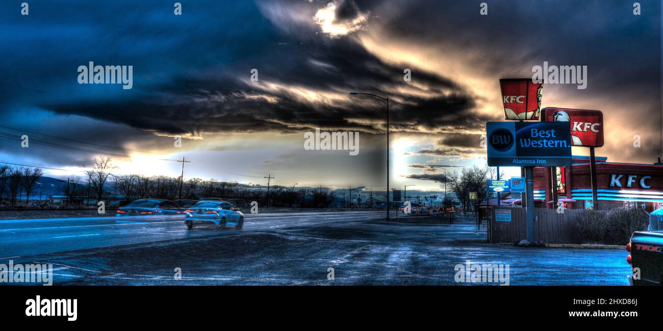 Alamosa in the San Luis Valley, Colorado. Stock Photohttps://www.alamy.com/image-license-details/?v=1https://www.alamy.com/alamosa-in-the-san-luis-valley-colorado-image463742458.html
RF2HXD86J–Alamosa in the San Luis Valley, Colorado.
 Dunes and Mountains Stock Photohttps://www.alamy.com/image-license-details/?v=1https://www.alamy.com/dunes-and-mountains-image635932210.html
RF2YXH60J–Dunes and Mountains
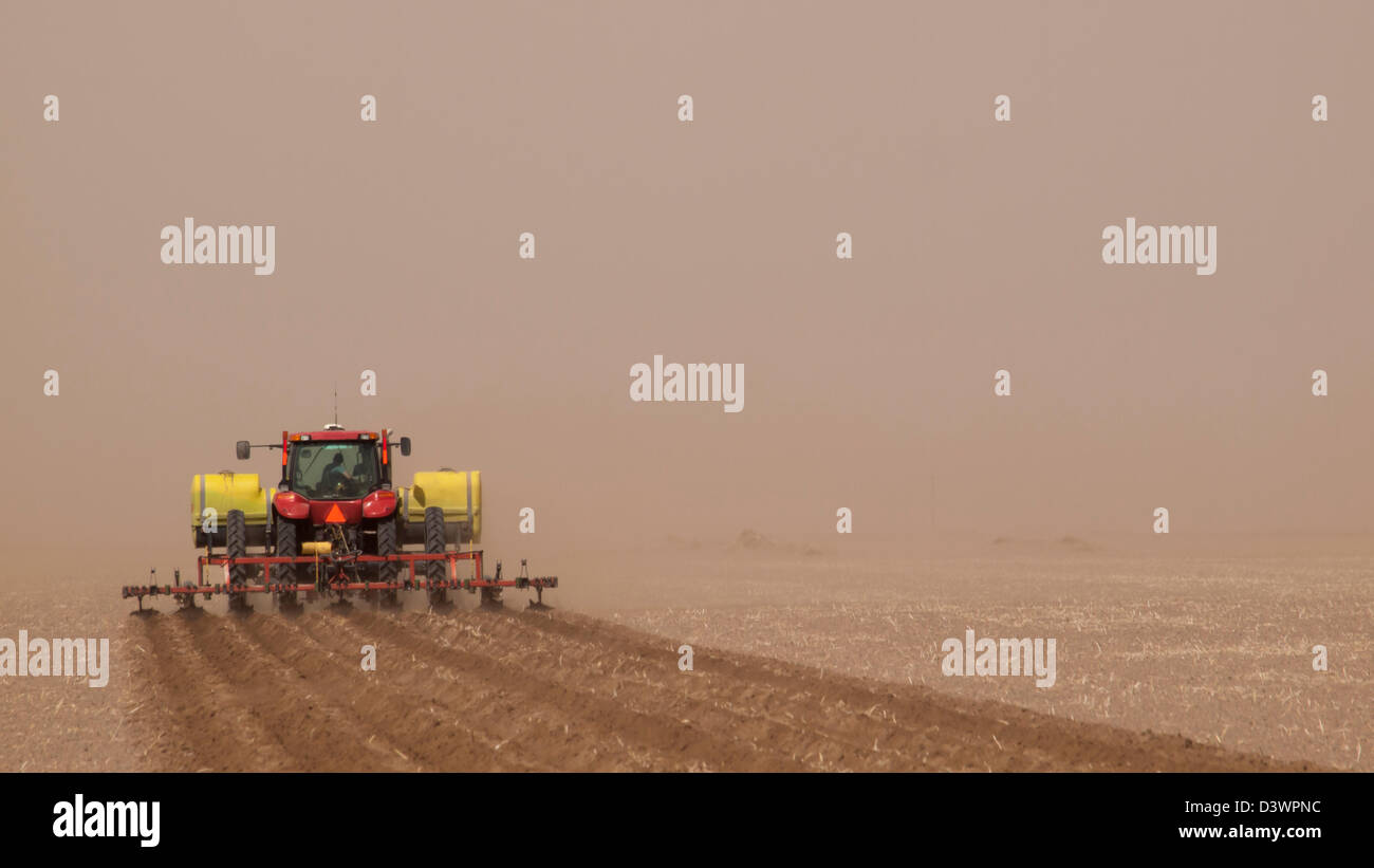 Spring plowing in sand storm near Alamosa, Colorado. Stock Photohttps://www.alamy.com/image-license-details/?v=1https://www.alamy.com/stock-photo-spring-plowing-in-sand-storm-near-alamosa-colorado-54041720.html
RFD3WPNC–Spring plowing in sand storm near Alamosa, Colorado.
 Solar power plant in the mountains on meadow. Beautiful landscape scenery Stock Photohttps://www.alamy.com/image-license-details/?v=1https://www.alamy.com/stock-photo-solar-power-plant-in-the-mountains-on-meadow-beautiful-landscape-scenery-88430305.html
RFF3T9N5–Solar power plant in the mountains on meadow. Beautiful landscape scenery
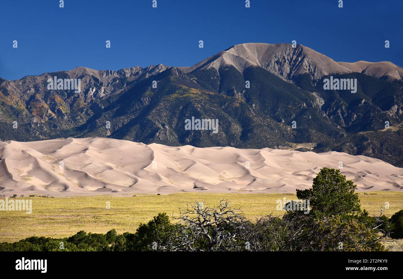 sand dunes and the san juan mountain peaks on a sunny day in great sand dunes national park, near alamosa, colorado Stock Photohttps://www.alamy.com/image-license-details/?v=1https://www.alamy.com/sand-dunes-and-the-san-juan-mountain-peaks-on-a-sunny-day-in-great-sand-dunes-national-park-near-alamosa-colorado-image569670061.html
RF2T2PKY9–sand dunes and the san juan mountain peaks on a sunny day in great sand dunes national park, near alamosa, colorado
 Medano Creek, Great Sand Dunes National Park, Sangre de Cristo Mountains in distance, Colorado, USA Stock Photohttps://www.alamy.com/image-license-details/?v=1https://www.alamy.com/medano-creek-great-sand-dunes-national-park-sangre-de-cristo-mountains-in-distance-colorado-usa-image359202047.html
RF2BTB1TF–Medano Creek, Great Sand Dunes National Park, Sangre de Cristo Mountains in distance, Colorado, USA
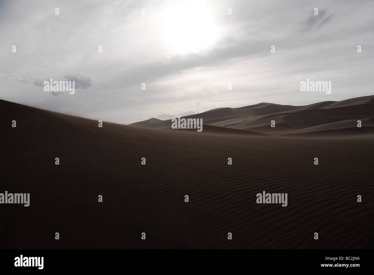 Great Sand Dunes National Park - Alamosa County and Saguache County, Sangre de Cristo Range, Colorado, United States Stock Photohttps://www.alamy.com/image-license-details/?v=1https://www.alamy.com/stock-photo-great-sand-dunes-national-park-alamosa-county-and-saguache-county-24644850.html
RMBC2JN6–Great Sand Dunes National Park - Alamosa County and Saguache County, Sangre de Cristo Range, Colorado, United States
 Zapata Ranch is a working ranch where tourists can stay and work, Alamosa, Alamosa County, Colorado, USA, North America, America Stock Photohttps://www.alamy.com/image-license-details/?v=1https://www.alamy.com/stock-photo-zapata-ranch-is-a-working-ranch-where-tourists-can-stay-and-work-alamosa-39968307.html
RMC90KYF–Zapata Ranch is a working ranch where tourists can stay and work, Alamosa, Alamosa County, Colorado, USA, North America, America
 Culebra Range of the Sangre de Cristo Mountains Stock Photohttps://www.alamy.com/image-license-details/?v=1https://www.alamy.com/culebra-range-of-the-sangre-de-cristo-mountains-image419138905.html
RF2F9WBXH–Culebra Range of the Sangre de Cristo Mountains
 Hooper, Colorado - July 14, 2014: An alien statue at the UFO watchtower near town of Hooper, in the state of Colorado, USA. Stock Photohttps://www.alamy.com/image-license-details/?v=1https://www.alamy.com/hooper-colorado-july-14-2014-an-alien-statue-at-the-ufo-watchtower-near-town-of-hooper-in-the-state-of-colorado-usa-image408446706.html
RM2EME9XA–Hooper, Colorado - July 14, 2014: An alien statue at the UFO watchtower near town of Hooper, in the state of Colorado, USA.
 Great Sand Dunes National Park and Preserve is a United States National Park located in the San Luis Valley, Colorado Stock Photohttps://www.alamy.com/image-license-details/?v=1https://www.alamy.com/stock-image-great-sand-dunes-national-park-and-preserve-is-a-united-states-national-163887919.html
RFKEHMKY–Great Sand Dunes National Park and Preserve is a United States National Park located in the San Luis Valley, Colorado
 Hooper, Alamosa County, US, United States, Colorado, N 37 44' 34'', S 105 52' 31'', map, Cartascapes Map published in 2024. Explore Cartascapes, a map revealing Earth's diverse landscapes, cultures, and ecosystems. Journey through time and space, discovering the interconnectedness of our planet's past, present, and future. Stock Photohttps://www.alamy.com/image-license-details/?v=1https://www.alamy.com/hooper-alamosa-county-us-united-states-colorado-n-37-44-34-s-105-52-31-map-cartascapes-map-published-in-2024-explore-cartascapes-a-map-revealing-earths-diverse-landscapes-cultures-and-ecosystems-journey-through-time-and-space-discovering-the-interconnectedness-of-our-planets-past-present-and-future-image621242512.html
RM2Y2M14G–Hooper, Alamosa County, US, United States, Colorado, N 37 44' 34'', S 105 52' 31'', map, Cartascapes Map published in 2024. Explore Cartascapes, a map revealing Earth's diverse landscapes, cultures, and ecosystems. Journey through time and space, discovering the interconnectedness of our planet's past, present, and future.
 USA, UnitedStates, America, Southwest, Colorado, Alamosa County, Great Sand Dunes, National Park, Preserve, dunes, landscape, sa Stock Photohttps://www.alamy.com/image-license-details/?v=1https://www.alamy.com/stock-photo-usa-unitedstates-america-southwest-colorado-alamosa-county-great-sand-89026007.html
RMF4RDG7–USA, UnitedStates, America, Southwest, Colorado, Alamosa County, Great Sand Dunes, National Park, Preserve, dunes, landscape, sa
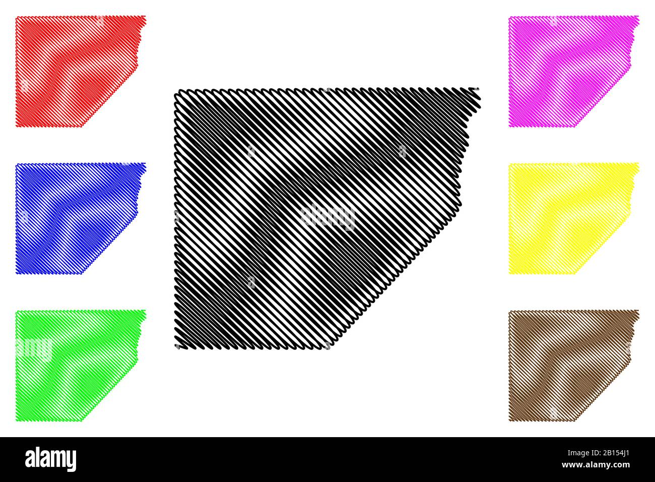 Alamosa County, Colorado (U.S. county, United States of America,USA, U.S., US) map vector illustration, scribble sketch Alamosa map Stock Vectorhttps://www.alamy.com/image-license-details/?v=1https://www.alamy.com/alamosa-county-colorado-us-county-united-states-of-americausa-us-us-map-vector-illustration-scribble-sketch-alamosa-map-image344935417.html
RF2B154J1–Alamosa County, Colorado (U.S. county, United States of America,USA, U.S., US) map vector illustration, scribble sketch Alamosa map
 An instructor with the Special Operations Advanced Mountaineering School stands at the base of Blanca Peak in Alamosa County, Colorado, during the alpine portion of the Senior Mountaineer Course July 28th, 2017. The course is designed to build mountaineers capable of leading special operations missions in mountainous terrain. (U.S. Army photo by Staff Sgt. Will Reinier) Stock Photohttps://www.alamy.com/image-license-details/?v=1https://www.alamy.com/an-instructor-with-the-special-operations-advanced-mountaineering-school-stands-at-the-base-of-blanca-peak-in-alamosa-county-colorado-during-the-alpine-portion-of-the-senior-mountaineer-course-july-28th-2017-the-course-is-designed-to-build-mountaineers-capable-of-leading-special-operations-missions-in-mountainous-terrain-us-army-photo-by-staff-sgt-will-reinier-image187040359.html
RMMT8BTR–An instructor with the Special Operations Advanced Mountaineering School stands at the base of Blanca Peak in Alamosa County, Colorado, during the alpine portion of the Senior Mountaineer Course July 28th, 2017. The course is designed to build mountaineers capable of leading special operations missions in mountainous terrain. (U.S. Army photo by Staff Sgt. Will Reinier)
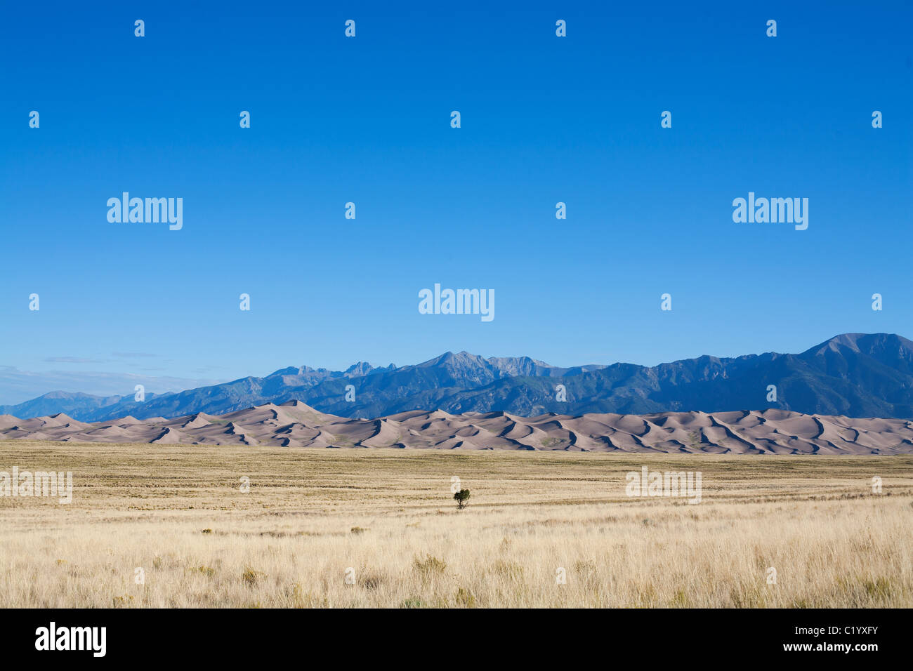 Sand Dunes National Monument. These sand dunes are the tallest (230 meters) in North America, Sangre de Cristo Range in the distance. Colorado, USA. Stock Photohttps://www.alamy.com/image-license-details/?v=1https://www.alamy.com/stock-photo-sand-dunes-national-monument-these-sand-dunes-are-the-tallest-230-35648927.html
RMC1YXFY–Sand Dunes National Monument. These sand dunes are the tallest (230 meters) in North America, Sangre de Cristo Range in the distance. Colorado, USA.
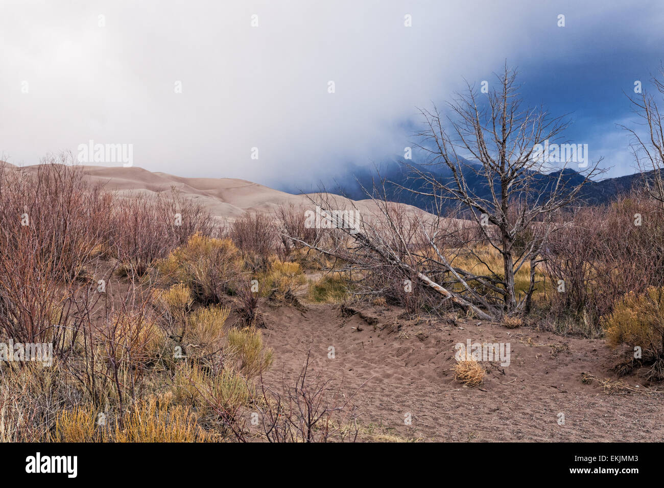 Plants on the edge of the Great Sand Dunes with cloud coming down from the Sangre de Cristo mountains Stock Photohttps://www.alamy.com/image-license-details/?v=1https://www.alamy.com/stock-photo-plants-on-the-edge-of-the-great-sand-dunes-with-cloud-coming-down-80931315.html
RFEKJMM3–Plants on the edge of the Great Sand Dunes with cloud coming down from the Sangre de Cristo mountains
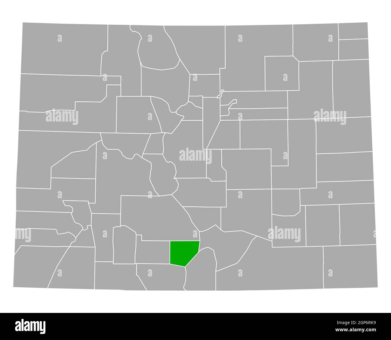 Map of Alamosa in Colorado Stock Photohttps://www.alamy.com/image-license-details/?v=1https://www.alamy.com/map-of-alamosa-in-colorado-image443931917.html
RF2GP6RK9–Map of Alamosa in Colorado
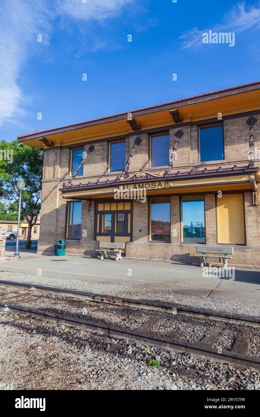 Colorado Welcome Center and Train Depot at Alamosa, Colorado. Scenic train rides on the Denver and Rio Grande Narrow Gauge Railroad are available here Stock Photohttps://www.alamy.com/image-license-details/?v=1https://www.alamy.com/colorado-welcome-center-and-train-depot-at-alamosa-colorado-scenic-train-rides-on-the-denver-and-rio-grande-narrow-gauge-railroad-are-available-here-image567443179.html
RM2RY57FR–Colorado Welcome Center and Train Depot at Alamosa, Colorado. Scenic train rides on the Denver and Rio Grande Narrow Gauge Railroad are available here
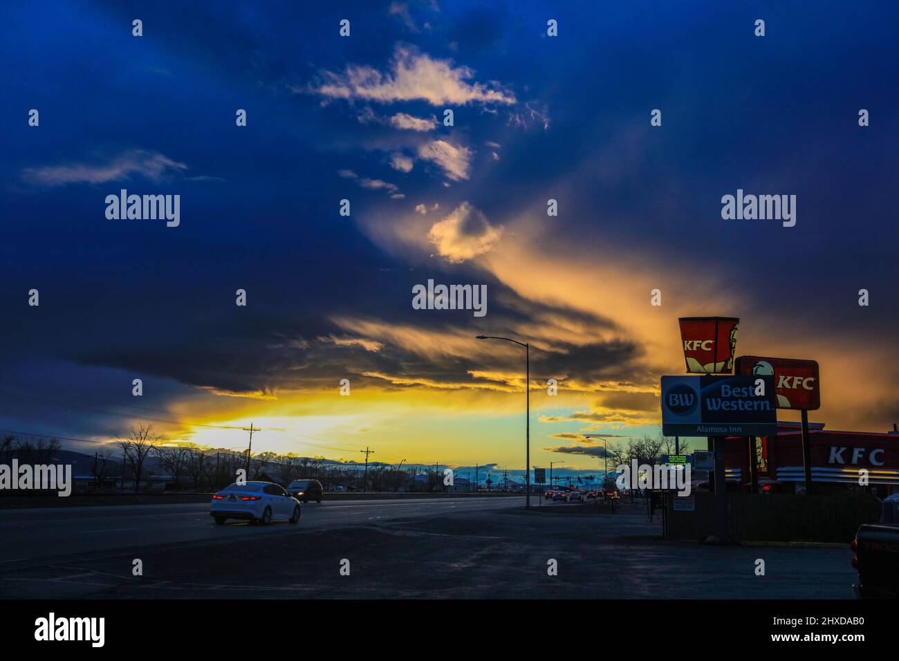 Alamosa in the San luis Valley, Colorado. Stock Photohttps://www.alamy.com/image-license-details/?v=1https://www.alamy.com/alamosa-in-the-san-luis-valley-colorado-image463744148.html
RF2HXDAB0–Alamosa in the San luis Valley, Colorado.
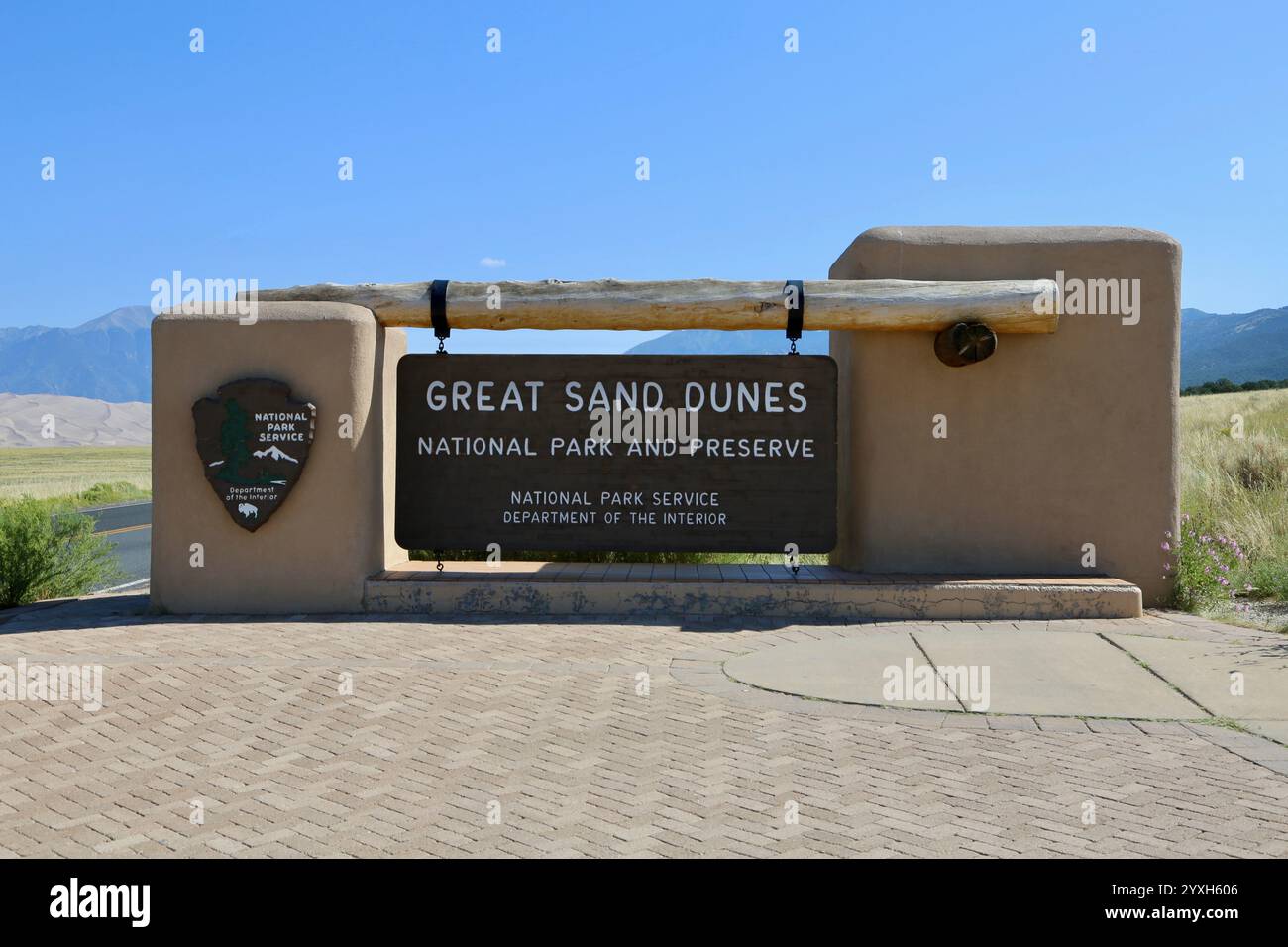 Great Sand Dunes National Park Sign Stock Photohttps://www.alamy.com/image-license-details/?v=1https://www.alamy.com/great-sand-dunes-national-park-sign-image635932198.html
RF2YXH606–Great Sand Dunes National Park Sign
 Spring plowing in sand storm near Alamosa, Colorado. Stock Photohttps://www.alamy.com/image-license-details/?v=1https://www.alamy.com/stock-photo-spring-plowing-in-sand-storm-near-alamosa-colorado-54041685.html
RFD3WPM5–Spring plowing in sand storm near Alamosa, Colorado.
 Solar power plant in the mountains on meadow. Beautiful landscape scenery Stock Photohttps://www.alamy.com/image-license-details/?v=1https://www.alamy.com/stock-photo-solar-power-plant-in-the-mountains-on-meadow-beautiful-landscape-scenery-88441062.html
RFF3TRDA–Solar power plant in the mountains on meadow. Beautiful landscape scenery
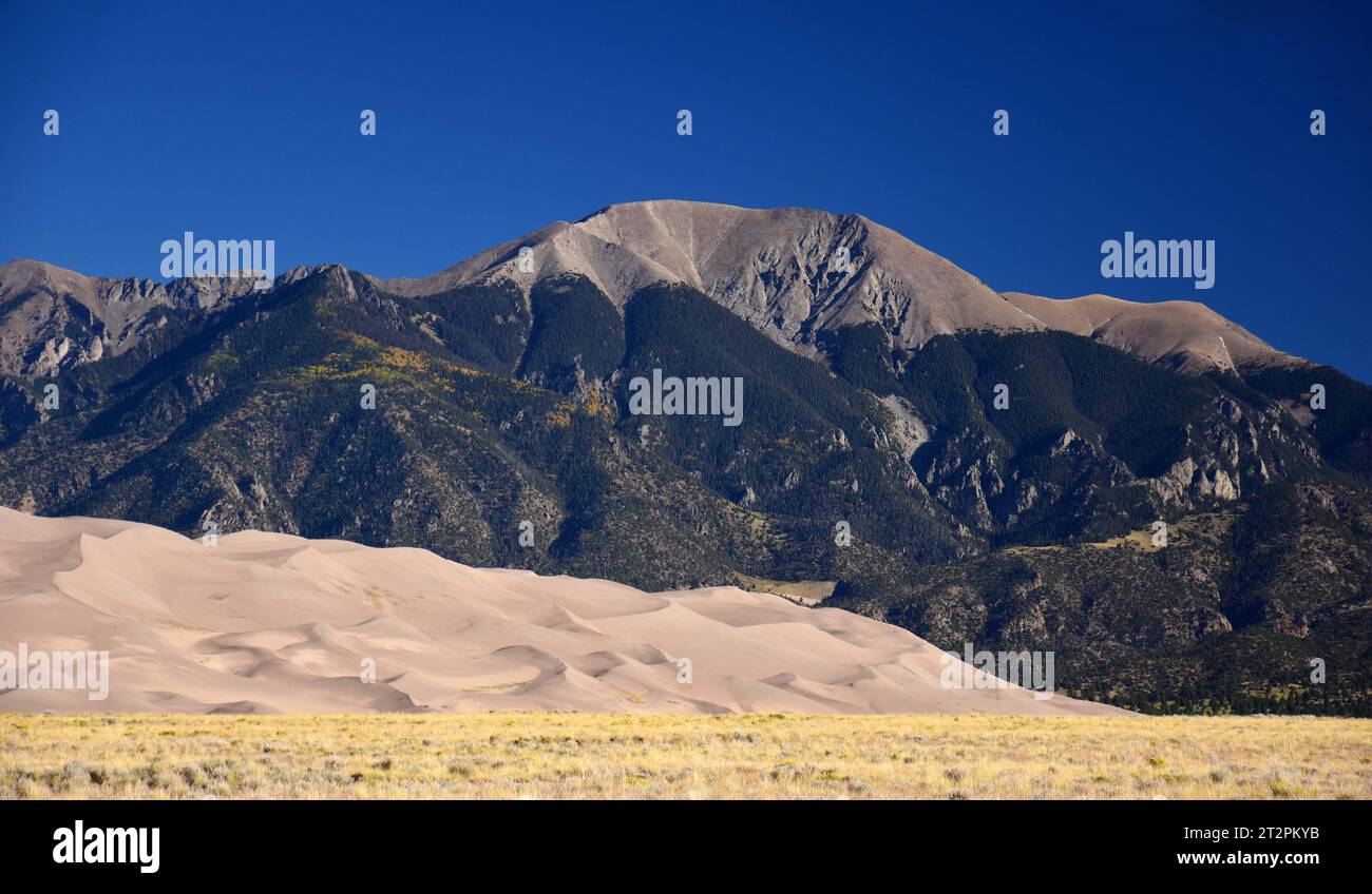 sand dunes and peaks of the sangre de cristo mountains on a sunny day in great sand dunes national park, near alamosa, colorado Stock Photohttps://www.alamy.com/image-license-details/?v=1https://www.alamy.com/sand-dunes-and-peaks-of-the-sangre-de-cristo-mountains-on-a-sunny-day-in-great-sand-dunes-national-park-near-alamosa-colorado-image569670063.html
RF2T2PKYB–sand dunes and peaks of the sangre de cristo mountains on a sunny day in great sand dunes national park, near alamosa, colorado
 Dunes at sunrise, Sangre de Cristo Mountains in distance, Great Sand Dunes National Park, Colorado, USA Stock Photohttps://www.alamy.com/image-license-details/?v=1https://www.alamy.com/dunes-at-sunrise-sangre-de-cristo-mountains-in-distance-great-sand-dunes-national-park-colorado-usa-image359201944.html
RF2BTB1MT–Dunes at sunrise, Sangre de Cristo Mountains in distance, Great Sand Dunes National Park, Colorado, USA
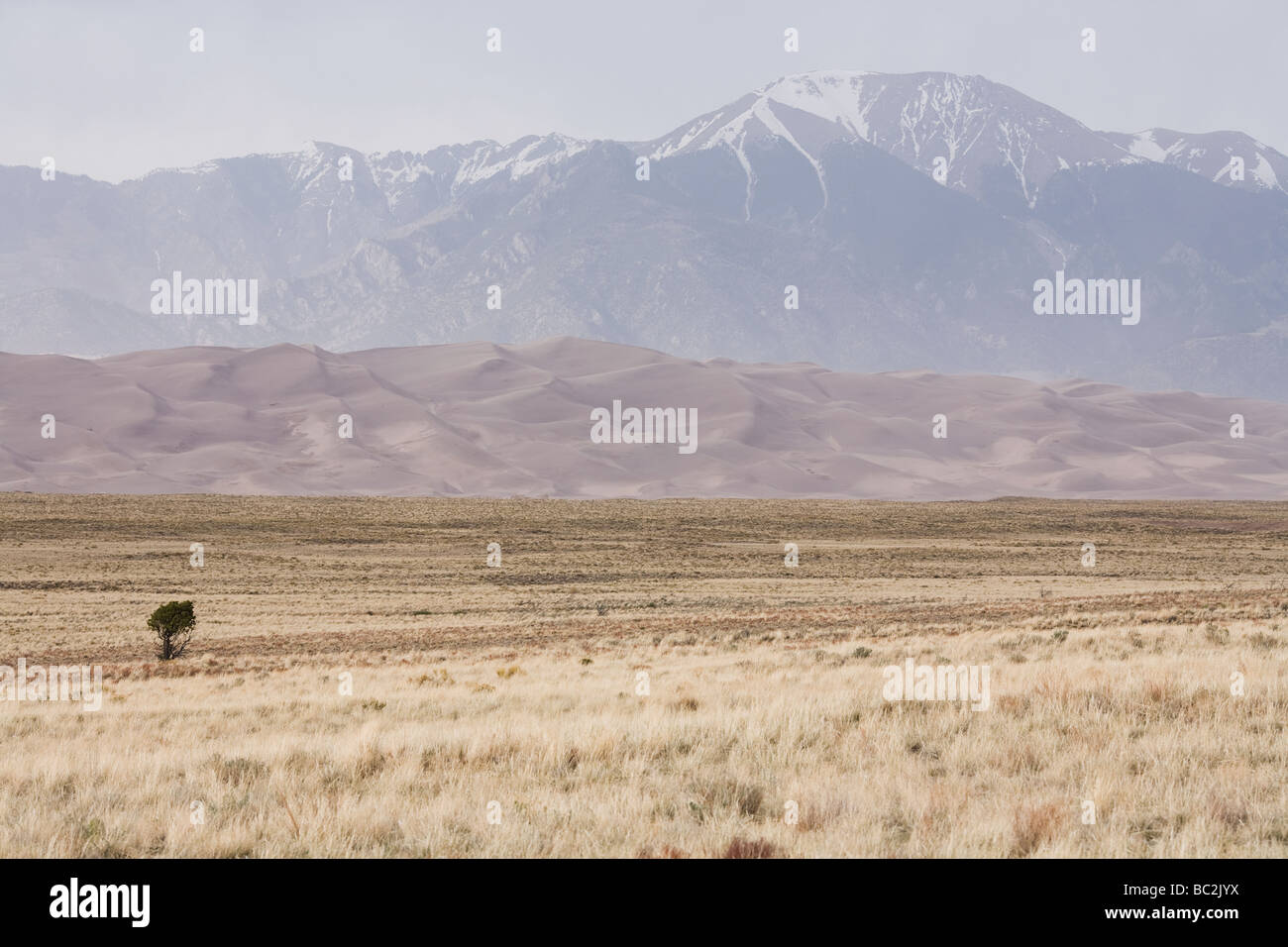 Great Sand Dunes National Park - Alamosa County and Saguache County, Sangre de Cristo Range, Colorado, United States Stock Photohttps://www.alamy.com/image-license-details/?v=1https://www.alamy.com/stock-photo-great-sand-dunes-national-park-alamosa-county-and-saguache-county-24645038.html
RMBC2JYX–Great Sand Dunes National Park - Alamosa County and Saguache County, Sangre de Cristo Range, Colorado, United States
 Zapata Ranch is a working ranch where tourists can stay and work reparing the fence Alamosa Alamosa County Colorado USA North Am Stock Photohttps://www.alamy.com/image-license-details/?v=1https://www.alamy.com/stock-photo-zapata-ranch-is-a-working-ranch-where-tourists-can-stay-and-work-reparing-39968304.html
RMC90KYC–Zapata Ranch is a working ranch where tourists can stay and work reparing the fence Alamosa Alamosa County Colorado USA North Am
 Culebra Range of the Sangre de Cristo Mountains Stock Photohttps://www.alamy.com/image-license-details/?v=1https://www.alamy.com/culebra-range-of-the-sangre-de-cristo-mountains-image419138955.html
RF2F9WC0B–Culebra Range of the Sangre de Cristo Mountains
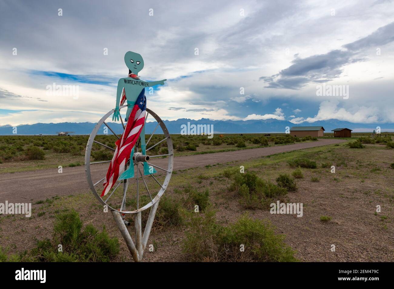 Hooper, Colorado - July 14, 2014: The entrance to the UFO watchtower near town of Hooper, in the state of Colorado, USA. Stock Photohttps://www.alamy.com/image-license-details/?v=1https://www.alamy.com/hooper-colorado-july-14-2014-the-entrance-to-the-ufo-watchtower-near-town-of-hooper-in-the-state-of-colorado-usa-image408225144.html
RM2EM479C–Hooper, Colorado - July 14, 2014: The entrance to the UFO watchtower near town of Hooper, in the state of Colorado, USA.
 Great Sand Dunes National Park and Preserve is a United States National Park located in the San Luis Valley, Colorado Stock Photohttps://www.alamy.com/image-license-details/?v=1https://www.alamy.com/stock-image-great-sand-dunes-national-park-and-preserve-is-a-united-states-national-163802106.html
RFKEDR76–Great Sand Dunes National Park and Preserve is a United States National Park located in the San Luis Valley, Colorado
 Alamosa, Alamosa County, US, United States, Colorado, N 37 28' 10'', S 105 52' 12'', map, Cartascapes Map published in 2024. Explore Cartascapes, a map revealing Earth's diverse landscapes, cultures, and ecosystems. Journey through time and space, discovering the interconnectedness of our planet's past, present, and future. Stock Photohttps://www.alamy.com/image-license-details/?v=1https://www.alamy.com/alamosa-alamosa-county-us-united-states-colorado-n-37-28-10-s-105-52-12-map-cartascapes-map-published-in-2024-explore-cartascapes-a-map-revealing-earths-diverse-landscapes-cultures-and-ecosystems-journey-through-time-and-space-discovering-the-interconnectedness-of-our-planets-past-present-and-future-image621338403.html
RM2Y2TBD7–Alamosa, Alamosa County, US, United States, Colorado, N 37 28' 10'', S 105 52' 12'', map, Cartascapes Map published in 2024. Explore Cartascapes, a map revealing Earth's diverse landscapes, cultures, and ecosystems. Journey through time and space, discovering the interconnectedness of our planet's past, present, and future.
 USA, UnitedStates, America, Southwest, Colorado, Alamosa County, Great Sand Dunes, National Park, Preserve, dunes, landscape, sa Stock Photohttps://www.alamy.com/image-license-details/?v=1https://www.alamy.com/stock-photo-usa-unitedstates-america-southwest-colorado-alamosa-county-great-sand-89026008.html
RMF4RDG8–USA, UnitedStates, America, Southwest, Colorado, Alamosa County, Great Sand Dunes, National Park, Preserve, dunes, landscape, sa
 Alamosa County, Colorado (U.S. county, United States of America,USA, U.S., US) map vector illustration, scribble sketch Alamosa map Stock Vectorhttps://www.alamy.com/image-license-details/?v=1https://www.alamy.com/alamosa-county-colorado-us-county-united-states-of-americausa-us-us-map-vector-illustration-scribble-sketch-alamosa-map-image343009054.html
RF2AX1BFA–Alamosa County, Colorado (U.S. county, United States of America,USA, U.S., US) map vector illustration, scribble sketch Alamosa map
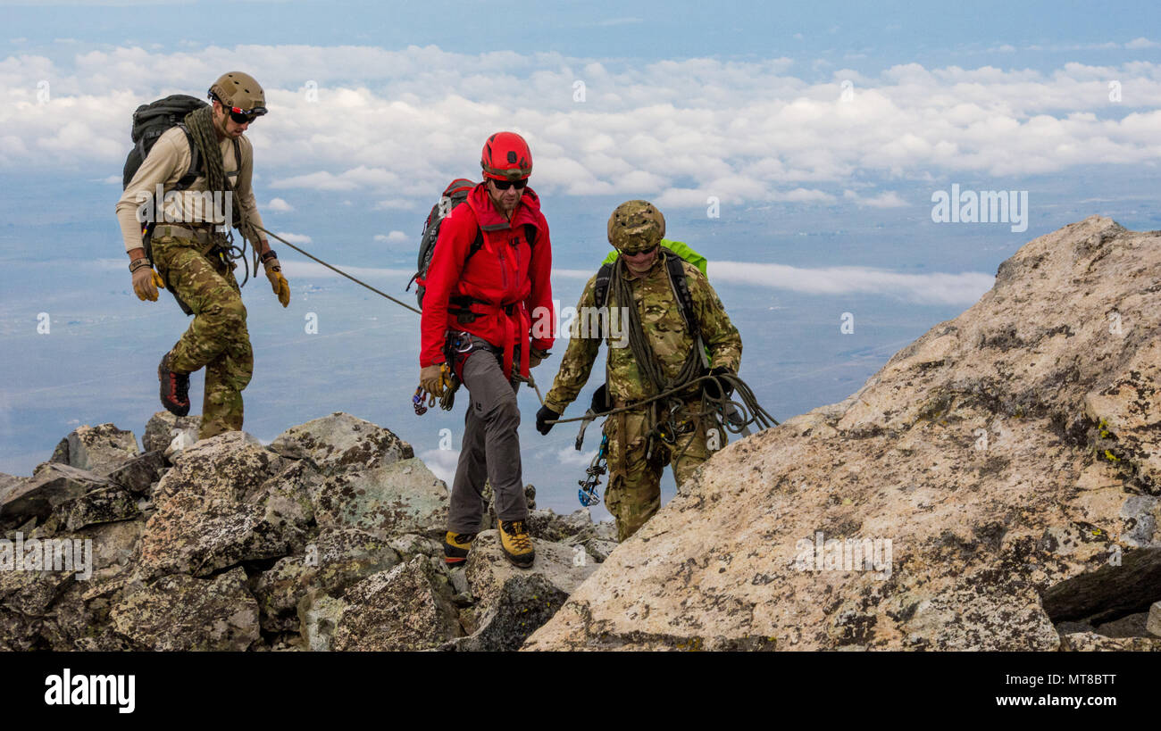 Green Berets assigned to 1st Special Forces Command navigate a ridgeline on Ellingwood Point in Alamosa County, Colorado with an instructor during the alpine portion of the Senior Mountaineer Course July 31st, 2017. The course is designed to build mountaineers capable of leading special operations missions in mountainous terrain. (U.S. Army photo by Staff Sgt. Will Reinier) Stock Photohttps://www.alamy.com/image-license-details/?v=1https://www.alamy.com/green-berets-assigned-to-1st-special-forces-command-navigate-a-ridgeline-on-ellingwood-point-in-alamosa-county-colorado-with-an-instructor-during-the-alpine-portion-of-the-senior-mountaineer-course-july-31st-2017-the-course-is-designed-to-build-mountaineers-capable-of-leading-special-operations-missions-in-mountainous-terrain-us-army-photo-by-staff-sgt-will-reinier-image187040360.html
RMMT8BTT–Green Berets assigned to 1st Special Forces Command navigate a ridgeline on Ellingwood Point in Alamosa County, Colorado with an instructor during the alpine portion of the Senior Mountaineer Course July 31st, 2017. The course is designed to build mountaineers capable of leading special operations missions in mountainous terrain. (U.S. Army photo by Staff Sgt. Will Reinier)
 490 Sanborn Fire Insurance Map from Alamosa, Alamosa County, Colorado. LOC sanborn00947 008-9 Stock Photohttps://www.alamy.com/image-license-details/?v=1https://www.alamy.com/490-sanborn-fire-insurance-map-from-alamosa-alamosa-county-colorado-loc-sanborn00947-008-9-image212053602.html
RMP8YTEX–490 Sanborn Fire Insurance Map from Alamosa, Alamosa County, Colorado. LOC sanborn00947 008-9
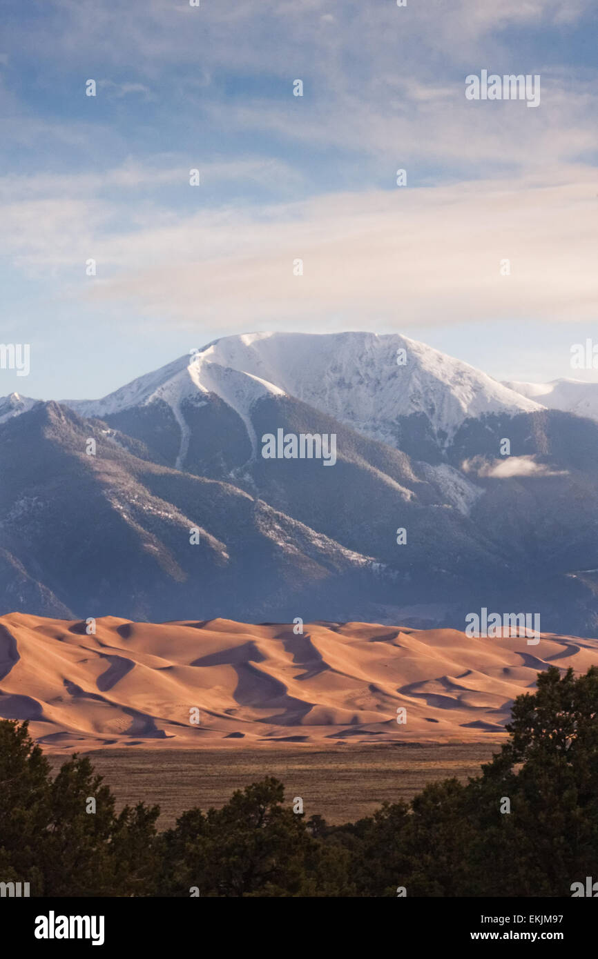 Trees, scrub, sand dunes and mountains: Great Sand Dunes National Park and the Sangre de Cristo snow-capped mountains Stock Photohttps://www.alamy.com/image-license-details/?v=1https://www.alamy.com/stock-photo-trees-scrub-sand-dunes-and-mountains-great-sand-dunes-national-park-80931011.html
RFEKJM97–Trees, scrub, sand dunes and mountains: Great Sand Dunes National Park and the Sangre de Cristo snow-capped mountains